


Pinzgauer Spaziergang
Fotografije naših uporabnikov
-
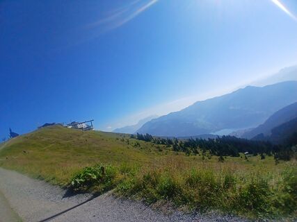
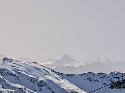
 © Florian DürneggerUstvarjeno na 16.09.2025
 -
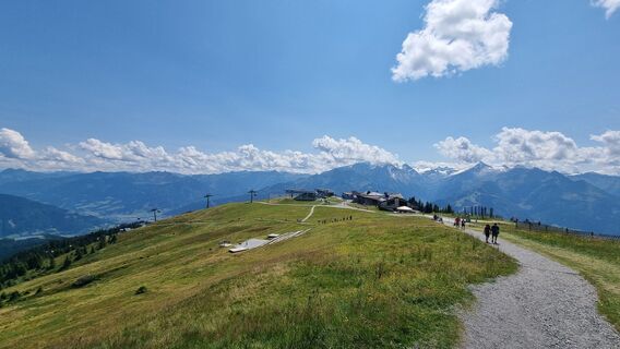
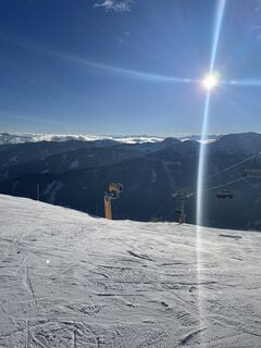
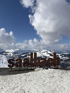
 © Daniella De WoldeUstvarjeno na 11.09.2025
 -
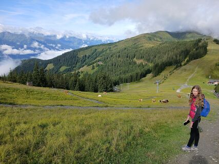
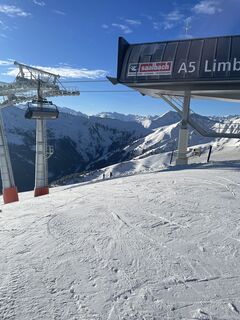
 © Daniella De WoldeUstvarjeno na 11.09.2025
 -
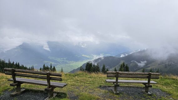
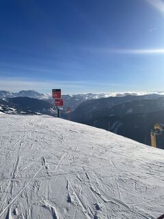
 © Daniella De WoldeUstvarjeno na 11.09.2025
 -
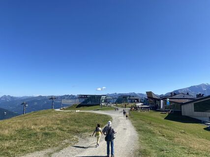
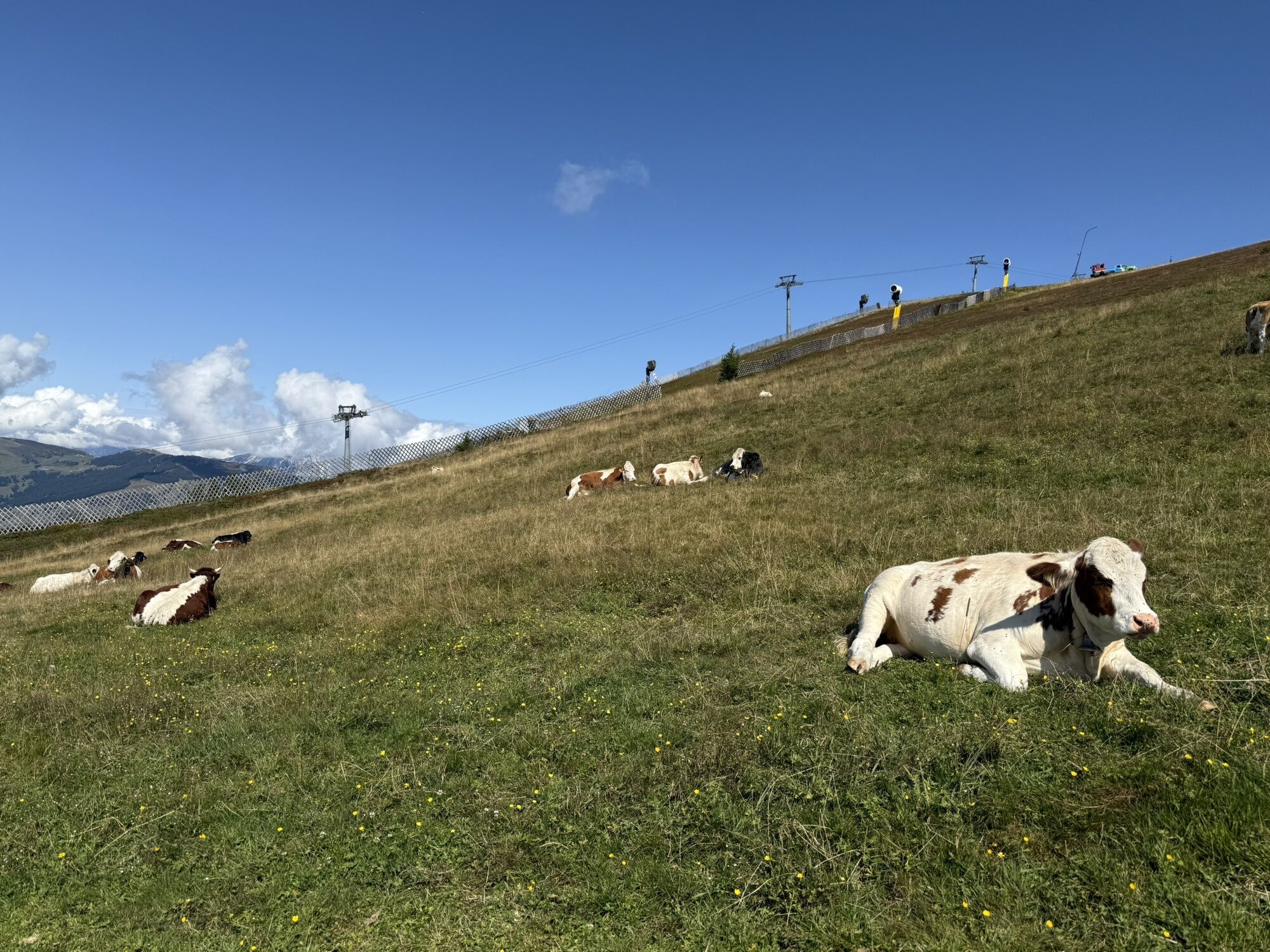
 © Daniella De WoldeUstvarjeno na 06.09.2025
 -
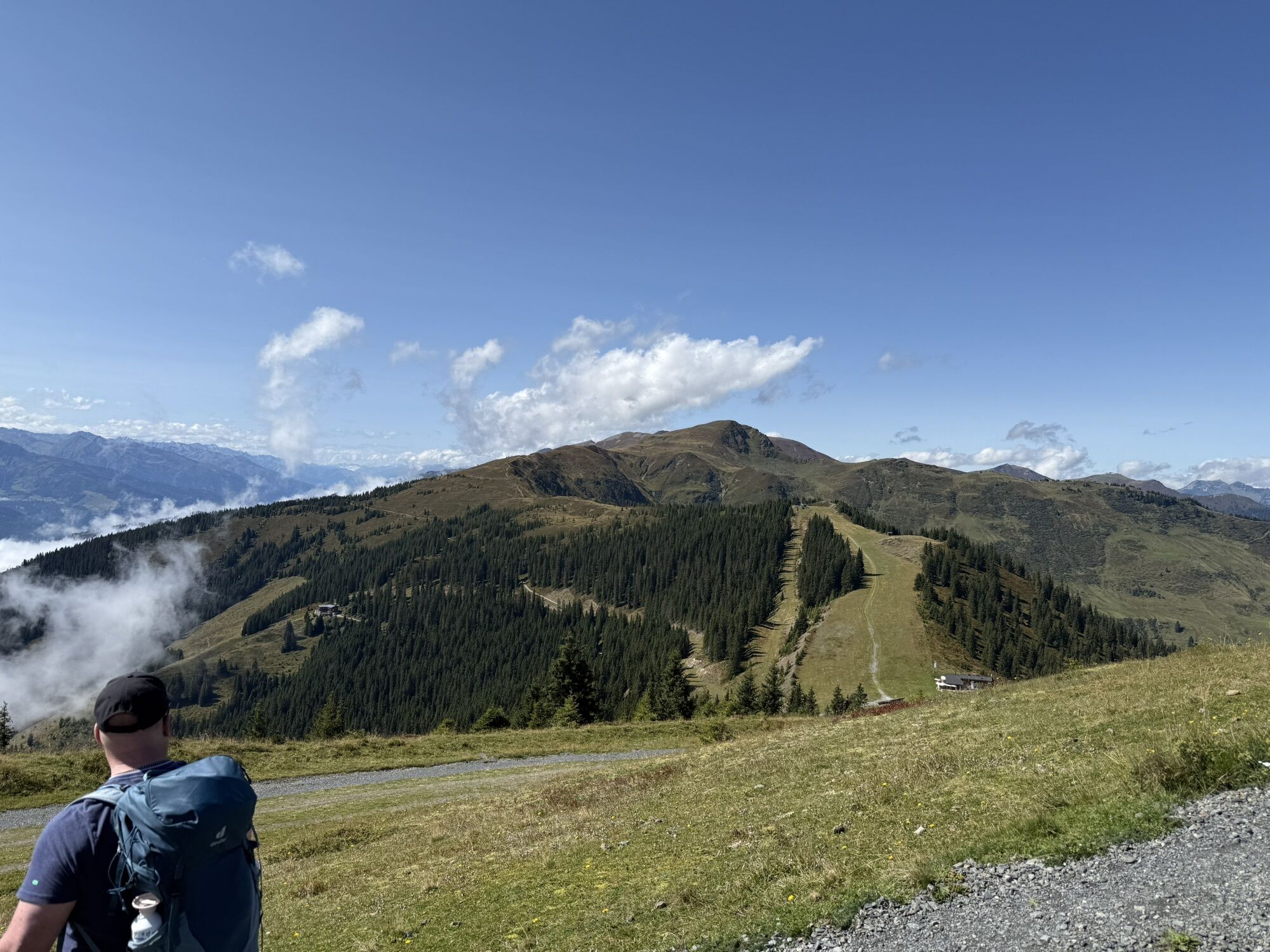
 © Daniella De WoldeUstvarjeno na 06.09.2025
 -
 © Daniella De WoldeUstvarjeno na 06.09.2025
 -
 © Daniella De WoldeUstvarjeno na 06.09.2025
 -
 © Daniella De WoldeUstvarjeno na 06.09.2025
 -
 © Daniella De WoldeUstvarjeno na 06.09.2025
 -

 © andreas 78Ustvarjeno na 04.09.2025
 -
 © Tom van LuinenUstvarjeno na 19.08.2025
 -
 © Tom van LuinenUstvarjeno na 19.08.2025
 -
 © Tom van LuinenUstvarjeno na 19.08.2025
 -
 © Tom van LuinenUstvarjeno na 19.08.2025
 -
 © Tom van LuinenUstvarjeno na 19.08.2025
 -
 © Tom van LuinenUstvarjeno na 19.08.2025
 -
 © Tom van LuinenUstvarjeno na 19.08.2025
 -
 © Tom van LuinenUstvarjeno na 19.08.2025
 -
 © Tom van LuinenUstvarjeno na 19.08.2025
 -
 © Tom van LuinenUstvarjeno na 19.08.2025
 -
 © Tom van LuinenUstvarjeno na 19.08.2025
 -
 © Tom van LuinenUstvarjeno na 19.08.2025
 -
 © Tom van LuinenUstvarjeno na 19.08.2025
 -
 © Tom van LuinenUstvarjeno na 19.08.2025
 -
 © Jonas HorkUstvarjeno na 07.08.2025
 -
 © eva rohreggerUstvarjeno na 04.08.2025
 -
 © eva rohreggerUstvarjeno na 04.08.2025
 -
 © Gundega MucenieceUstvarjeno na 03.08.2025
 -
 © Philipp ReitmeirUstvarjeno na 20.07.2025
 -
 © Philipp ReitmeirUstvarjeno na 20.07.2025
 -

 © Bas RiemersUstvarjeno na 29.06.2025
 -
 © Melanie HörzerUstvarjeno na 05.06.2023
 -
 © Bernadette FrühaufUstvarjeno na 16.08.2022
 -
 © Zoran DujakovicUstvarjeno na 07.09.2024
 -
 © Maik KramerUstvarjeno na 16.01.2024
 -
 © Maik KramerUstvarjeno na 16.01.2024
 -
 © Maik KramerUstvarjeno na 16.01.2024
 -
 © Margreth ReiterUstvarjeno na 05.09.2023
 -
 © Margreth ReiterUstvarjeno na 05.09.2023
 -
 © Margreth ReiterUstvarjeno na 05.09.2023
 -
 © Veronika KöppenUstvarjeno na 24.09.2022
 -
 © Timpan05Ustvarjeno na 19.03.2026
 -
 © Michi SteiertUstvarjeno na 07.03.2026
 -
 © Michi SteiertUstvarjeno na 07.03.2026
 -
 © Michi SteiertUstvarjeno na 07.03.2026
 -
 © Michi SteiertUstvarjeno na 07.03.2026
 -
 © Sebastian Schmidtke 1Ustvarjeno na 03.03.2026


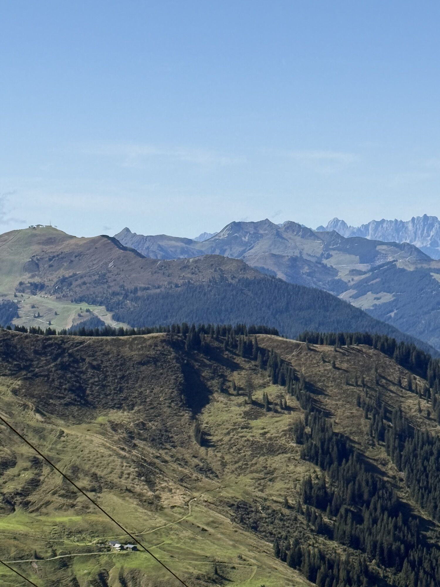
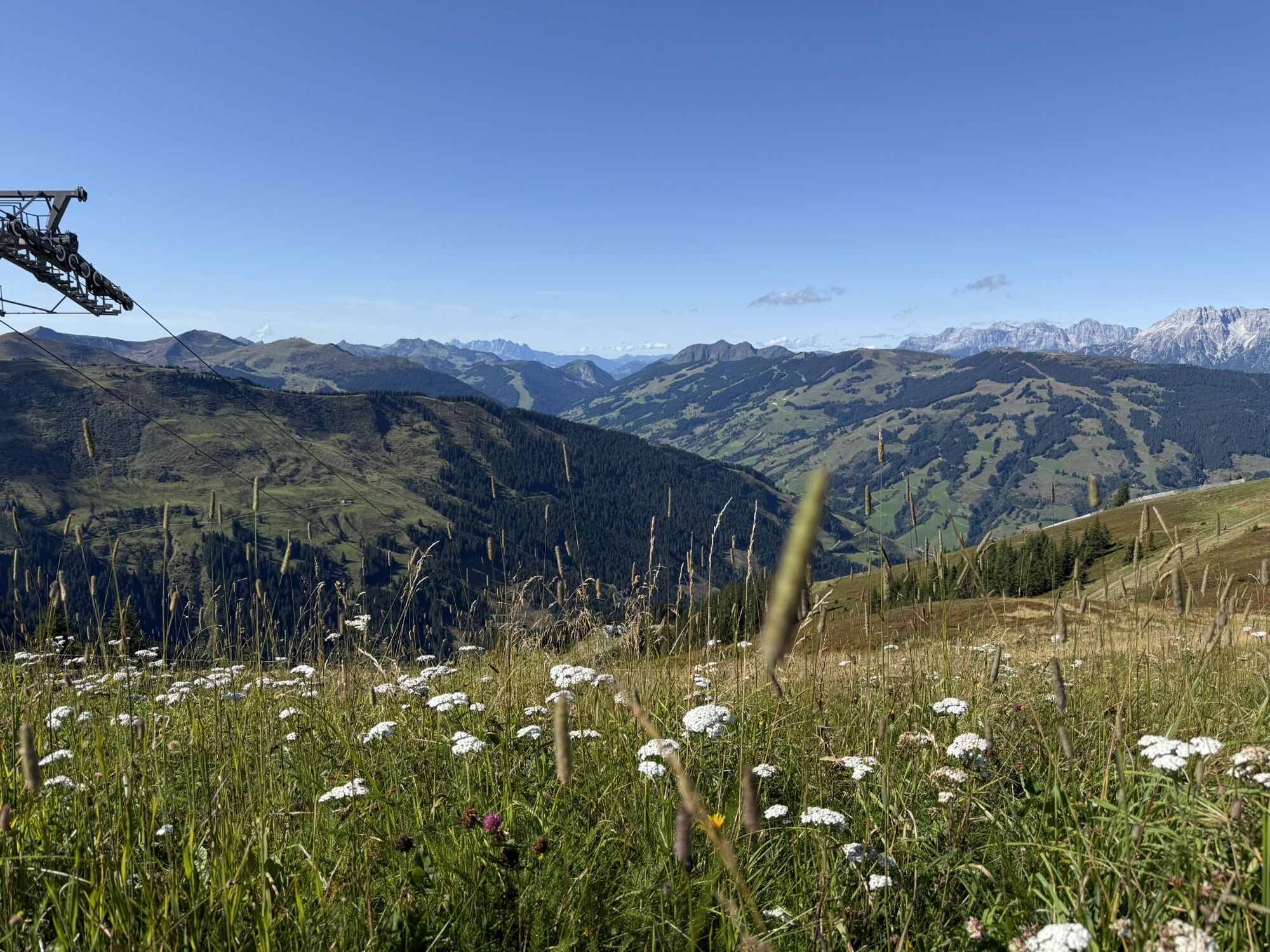

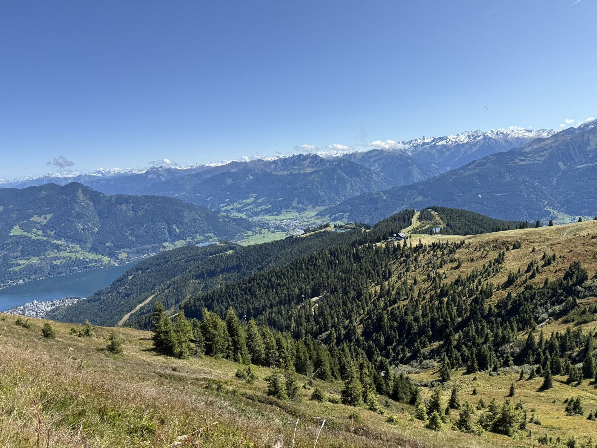

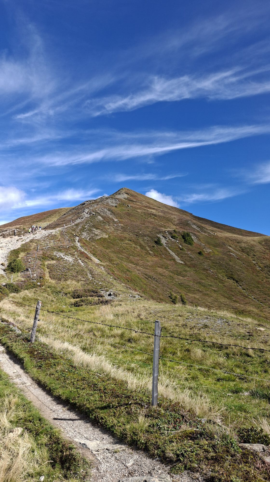

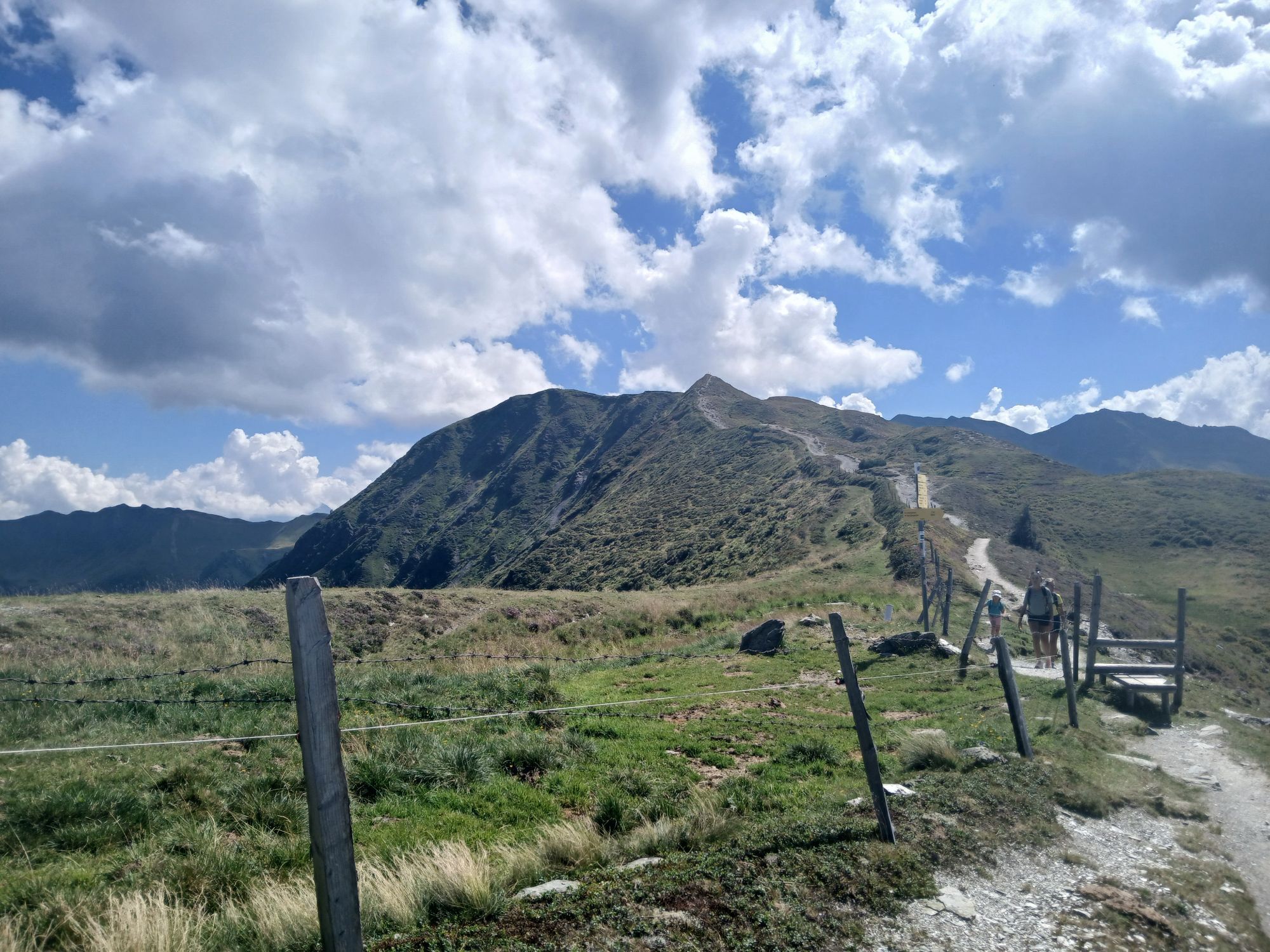
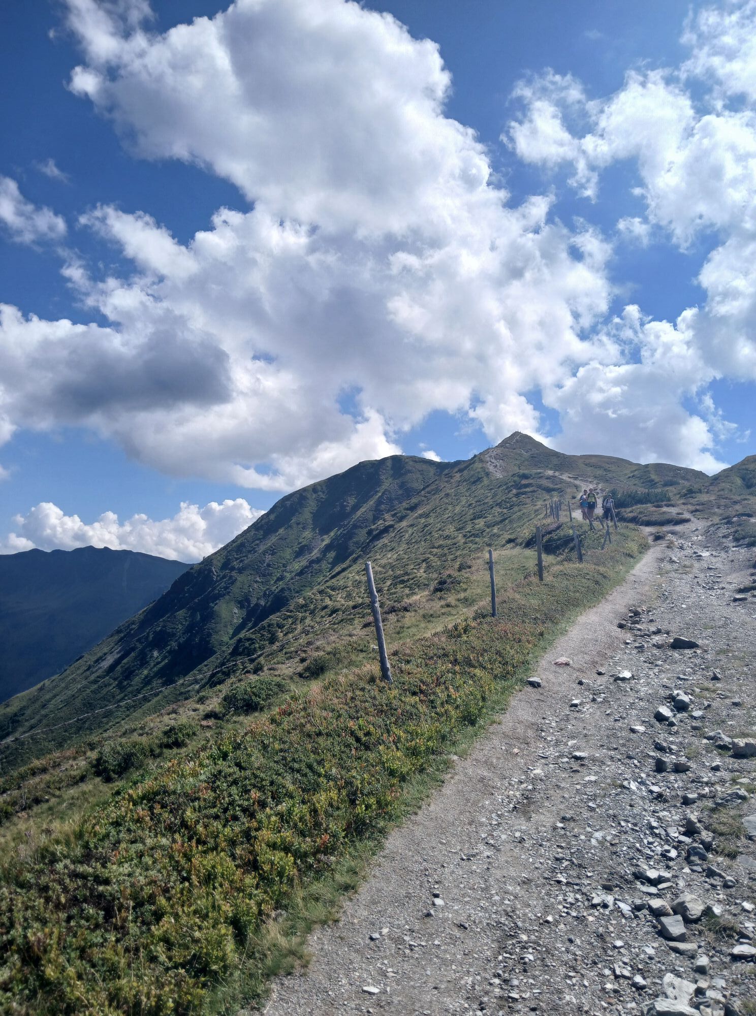
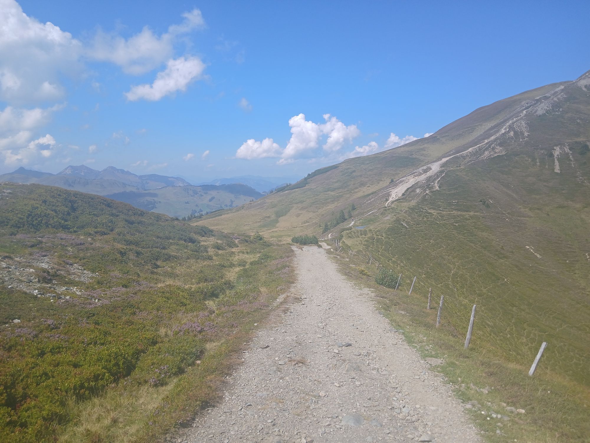


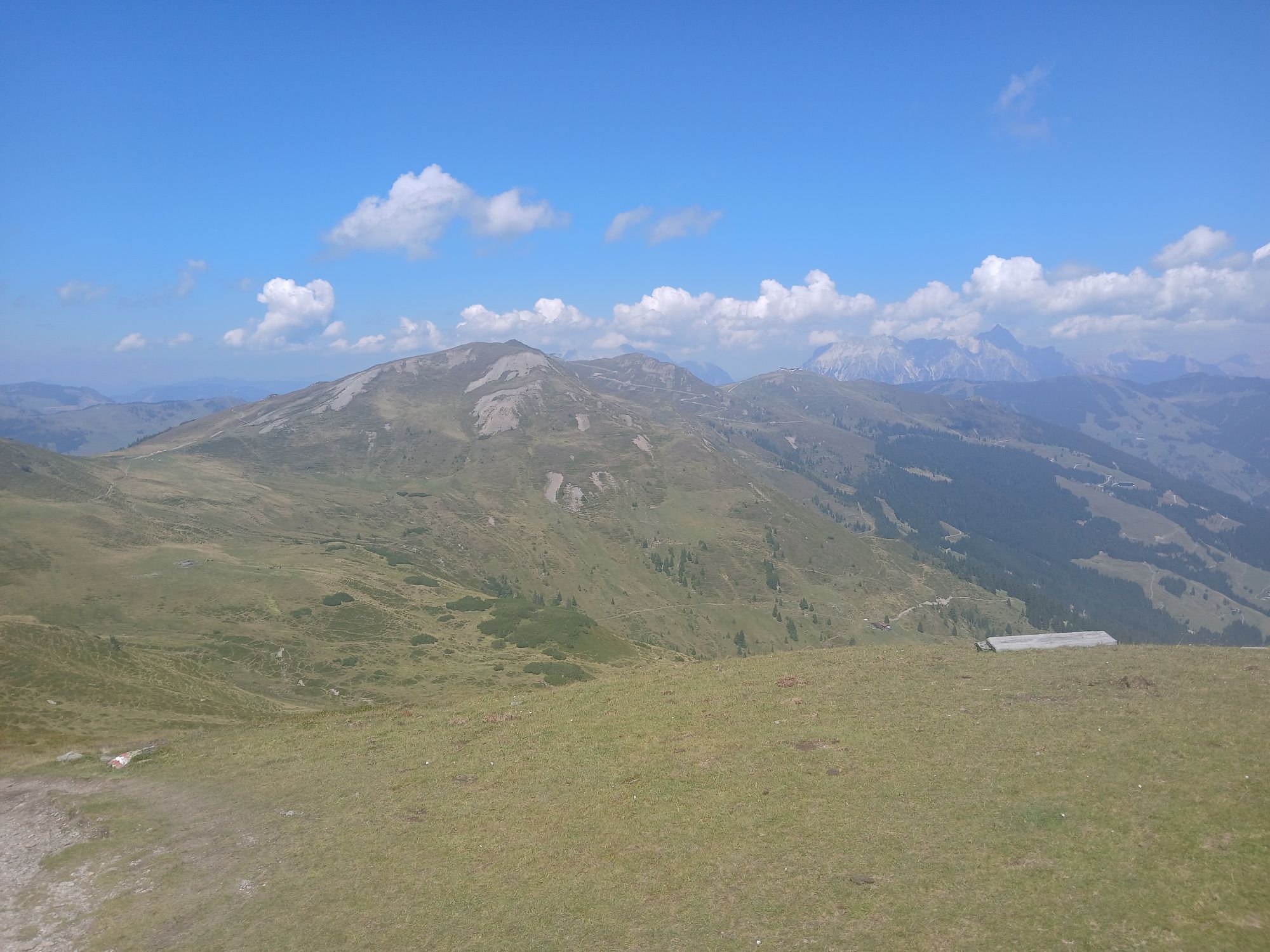
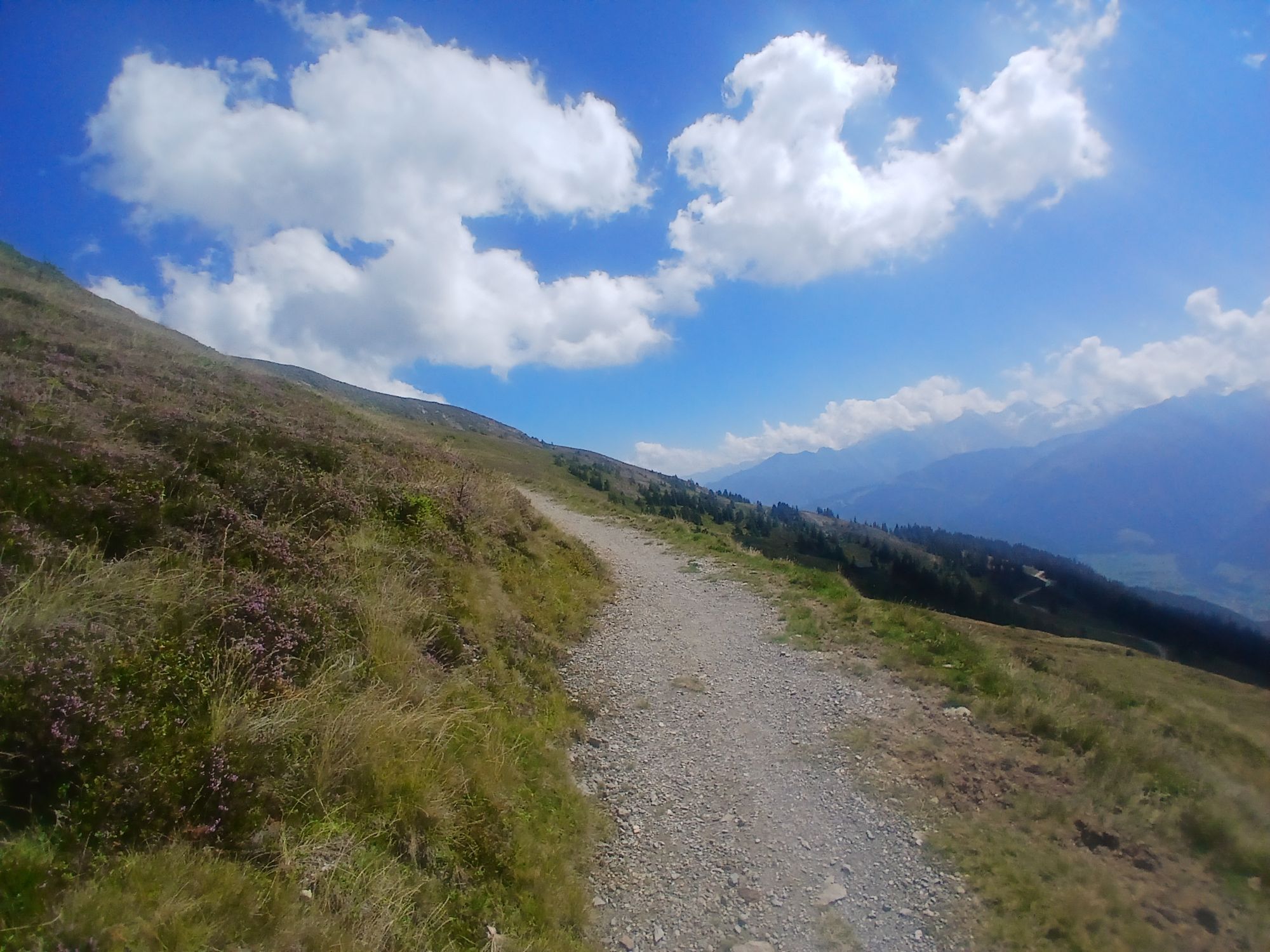
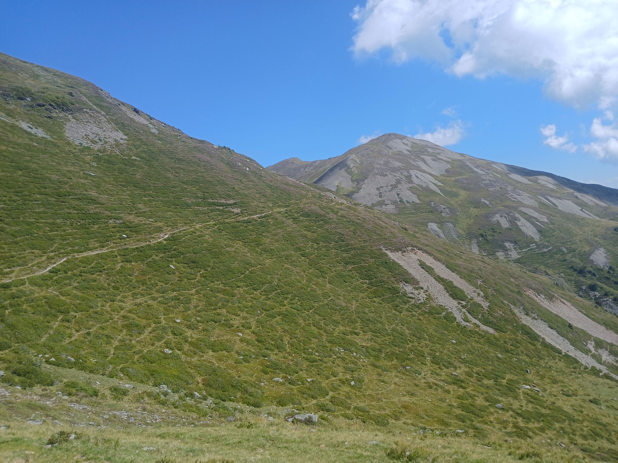


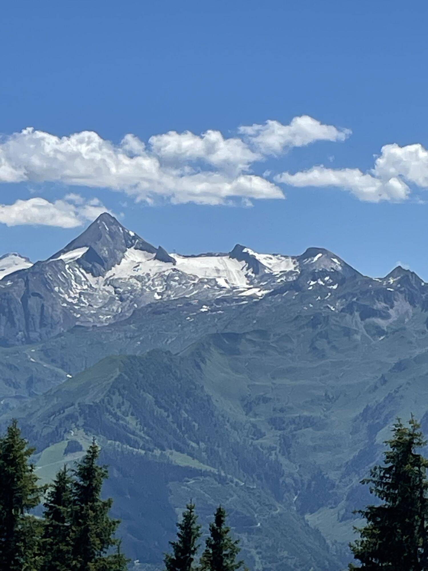


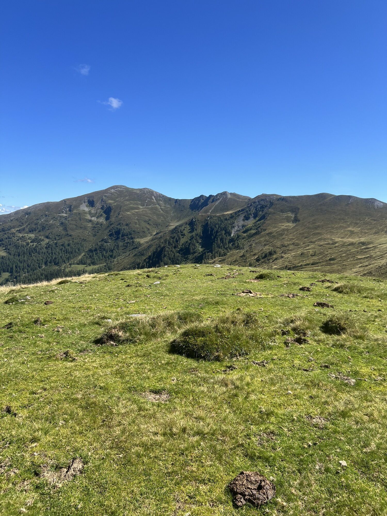
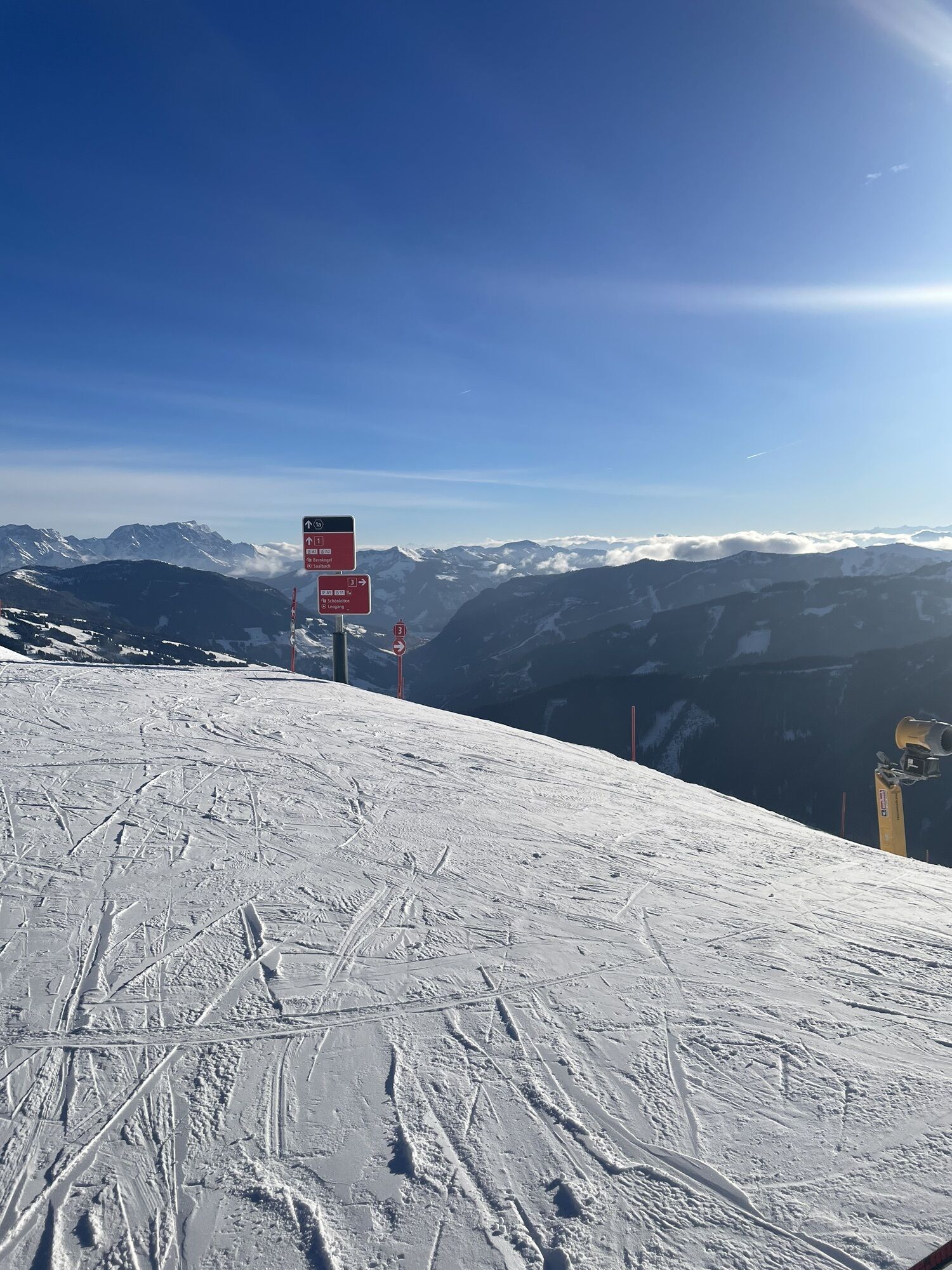


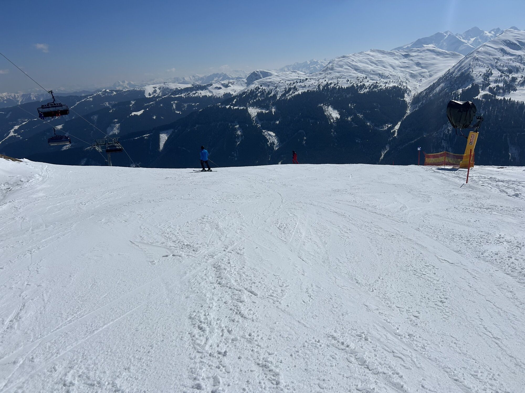

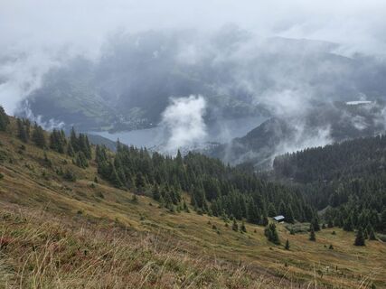
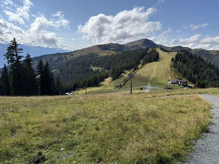
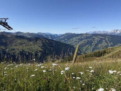
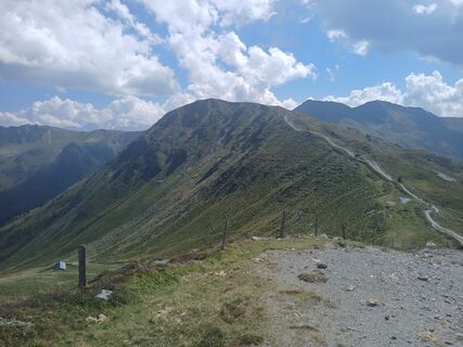
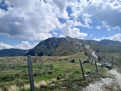
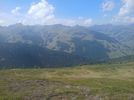
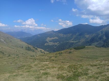
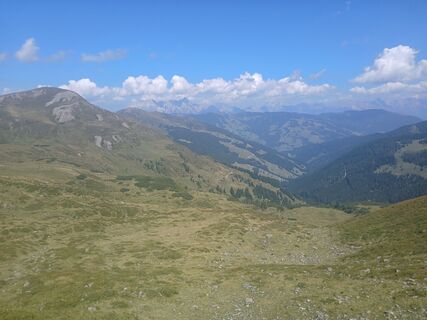
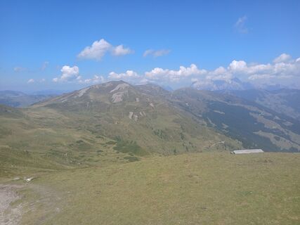
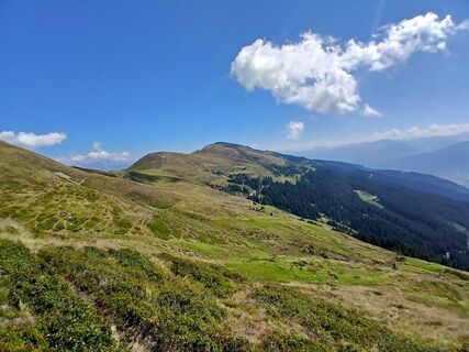
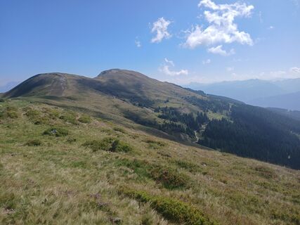
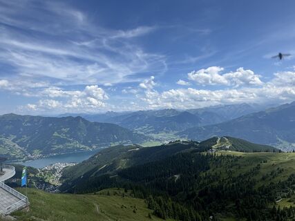
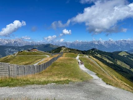
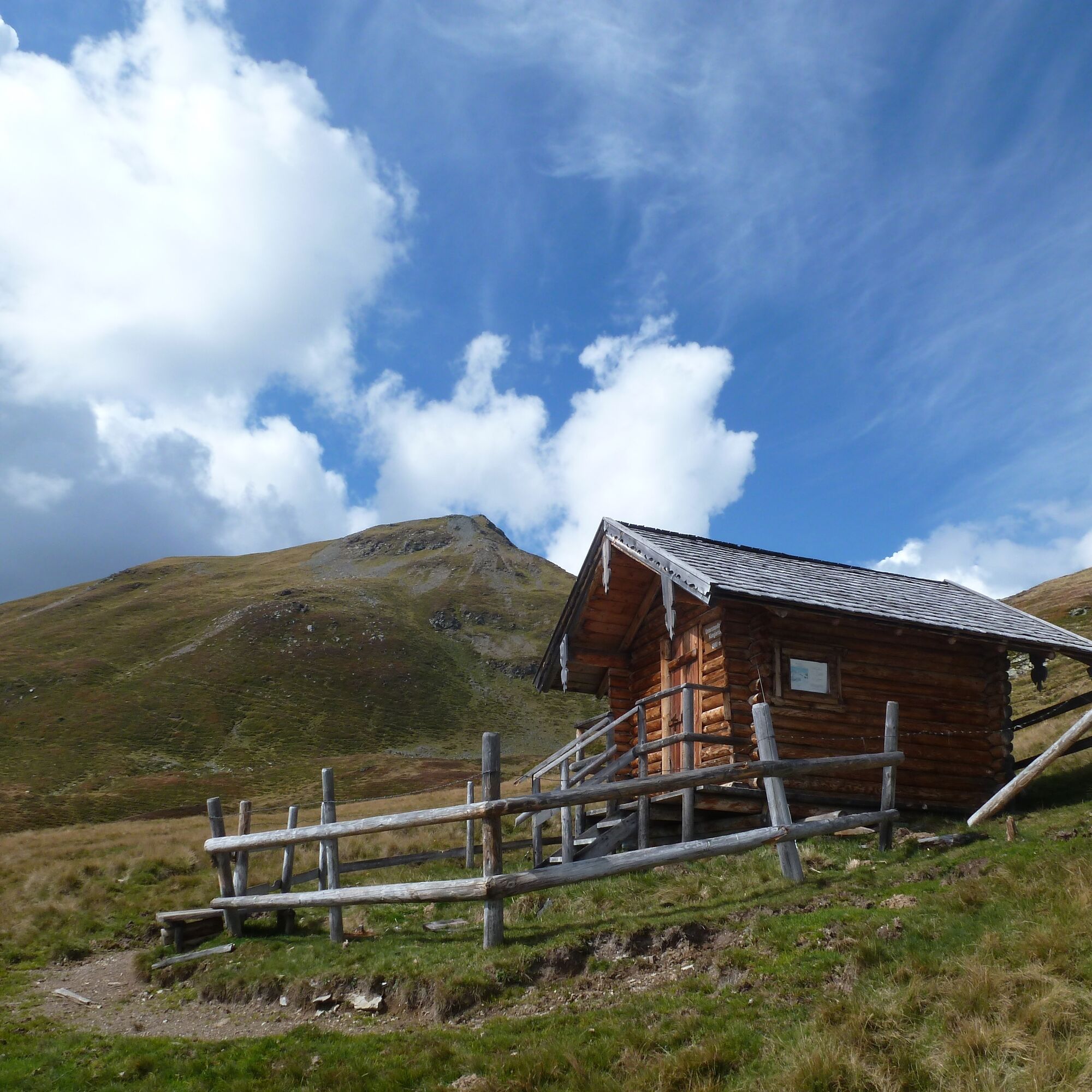
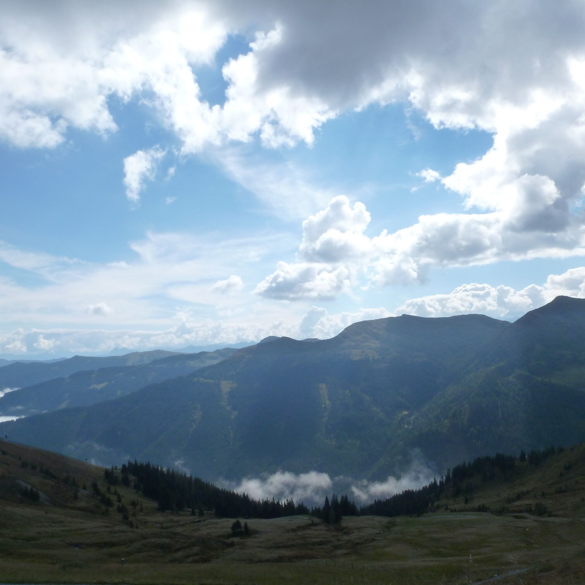
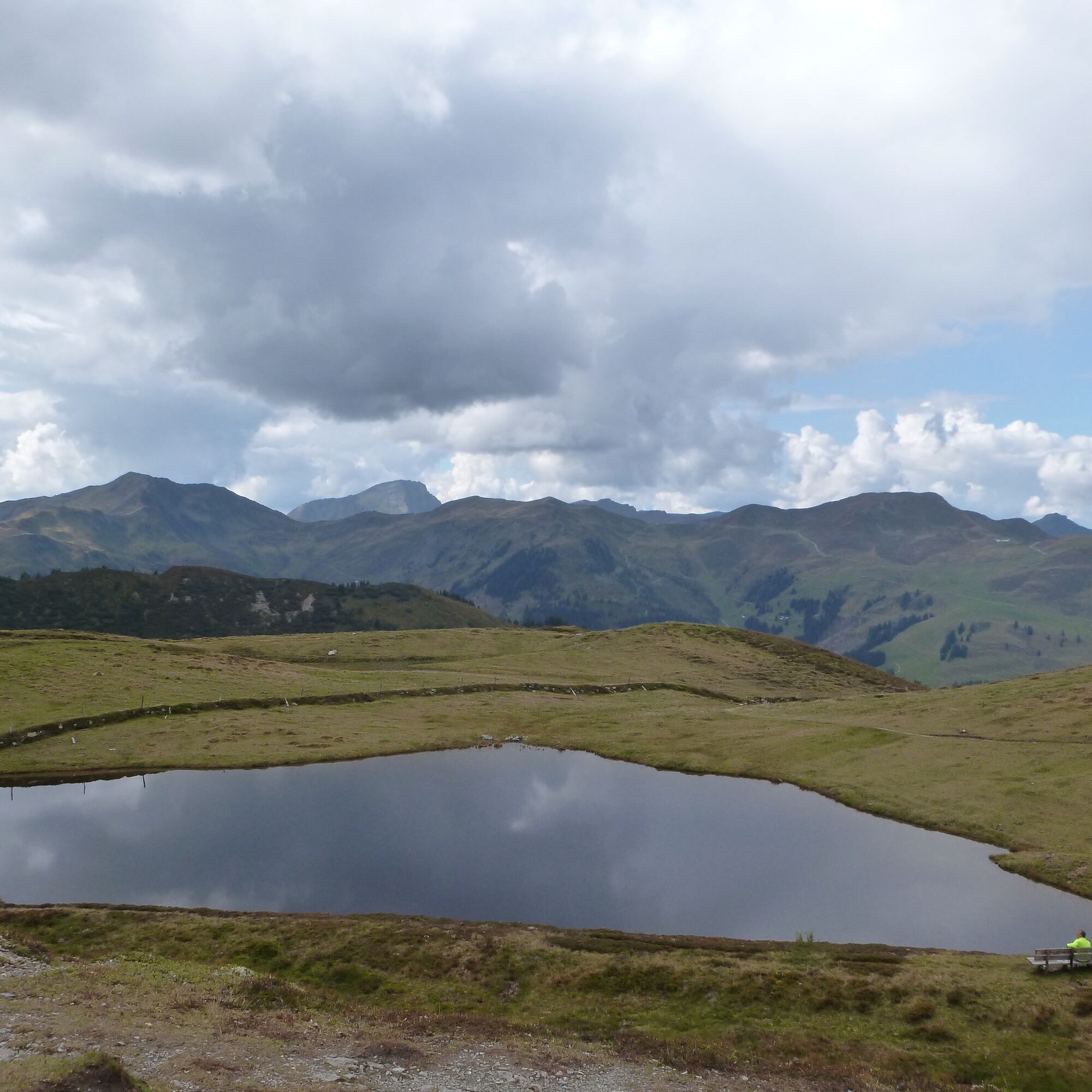
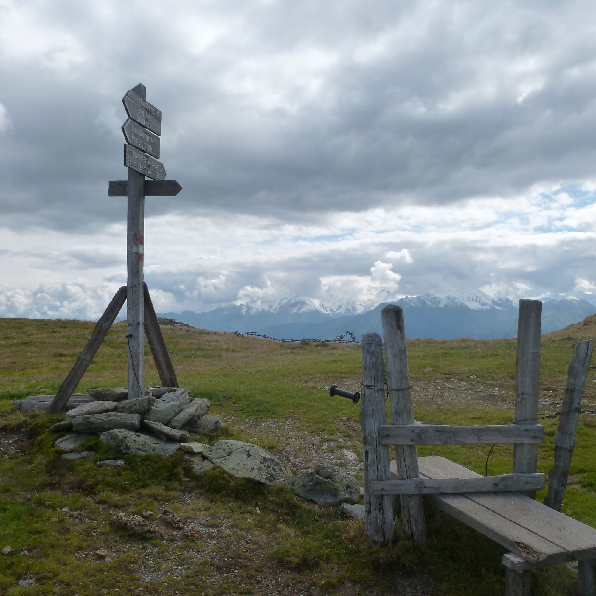
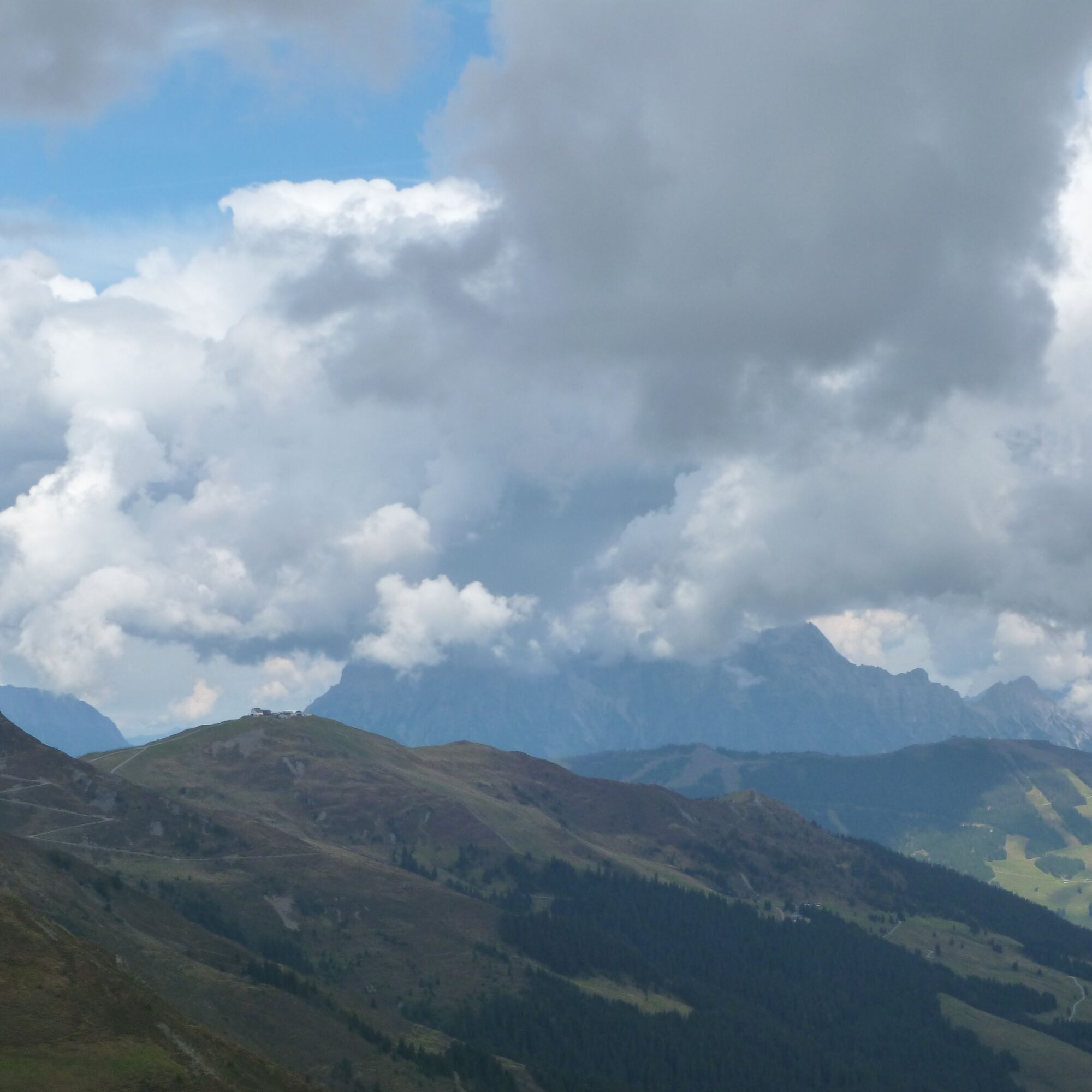
The Pinzgauer Spaziergang follows the southern ridges of the Grasberge always in the line of least resistance. This means that over 18 kilometers you only have to overcome about 600 meters of ascent. The...
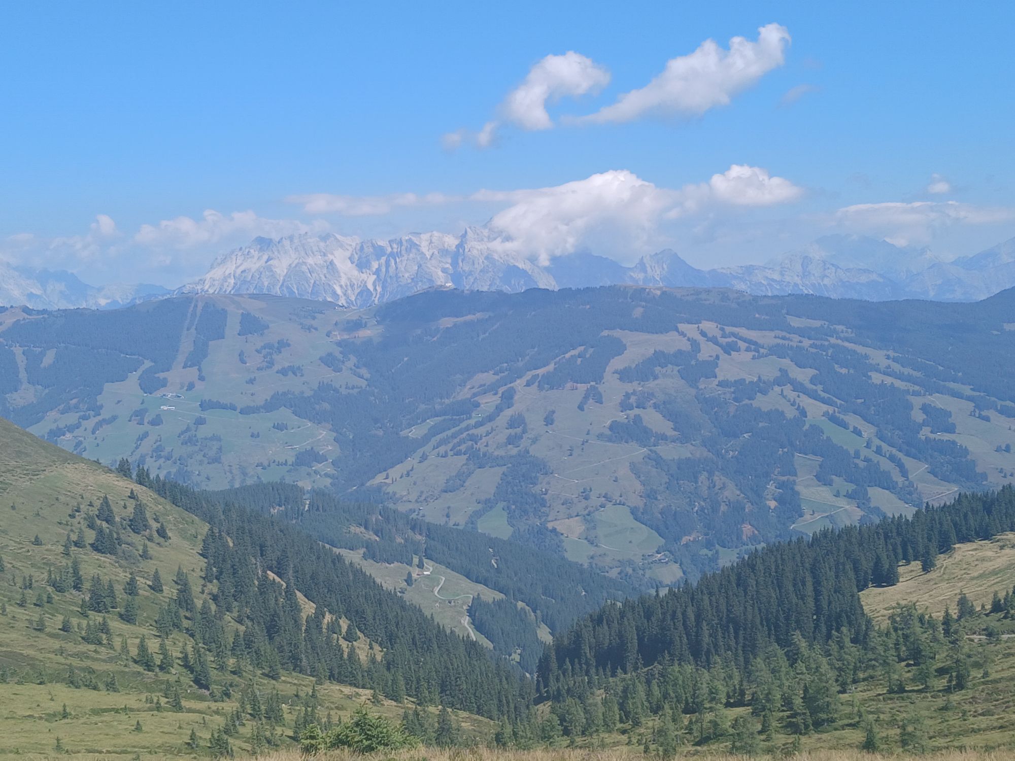
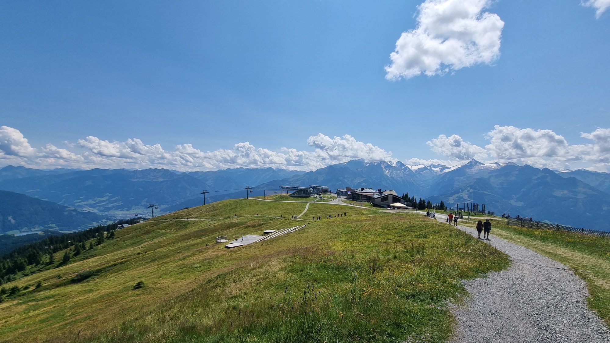
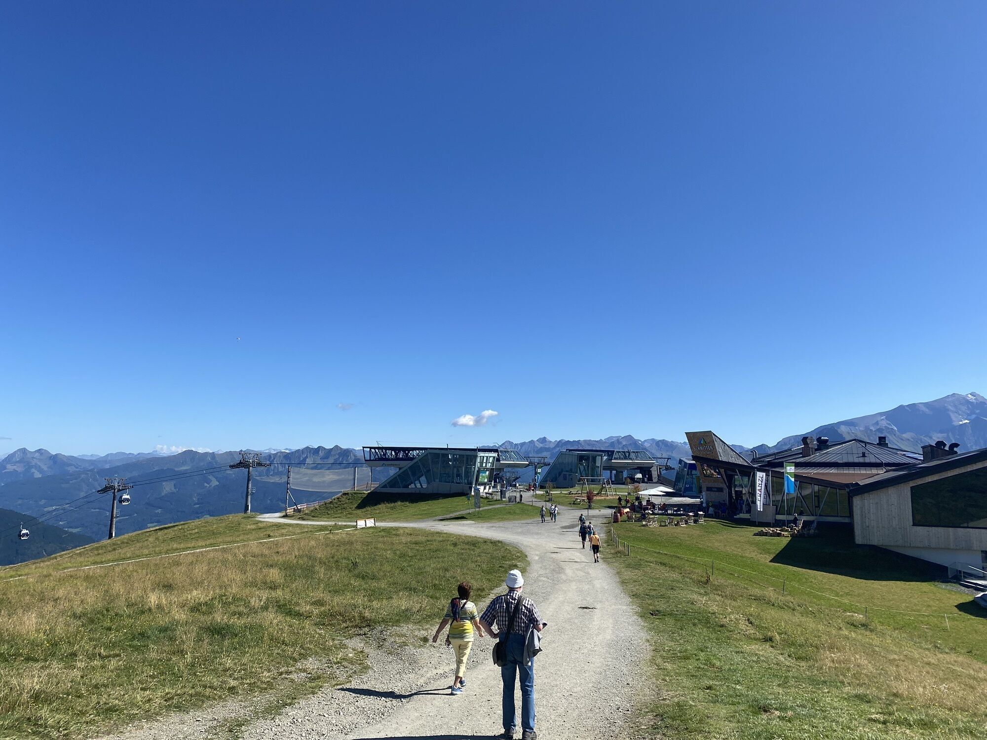
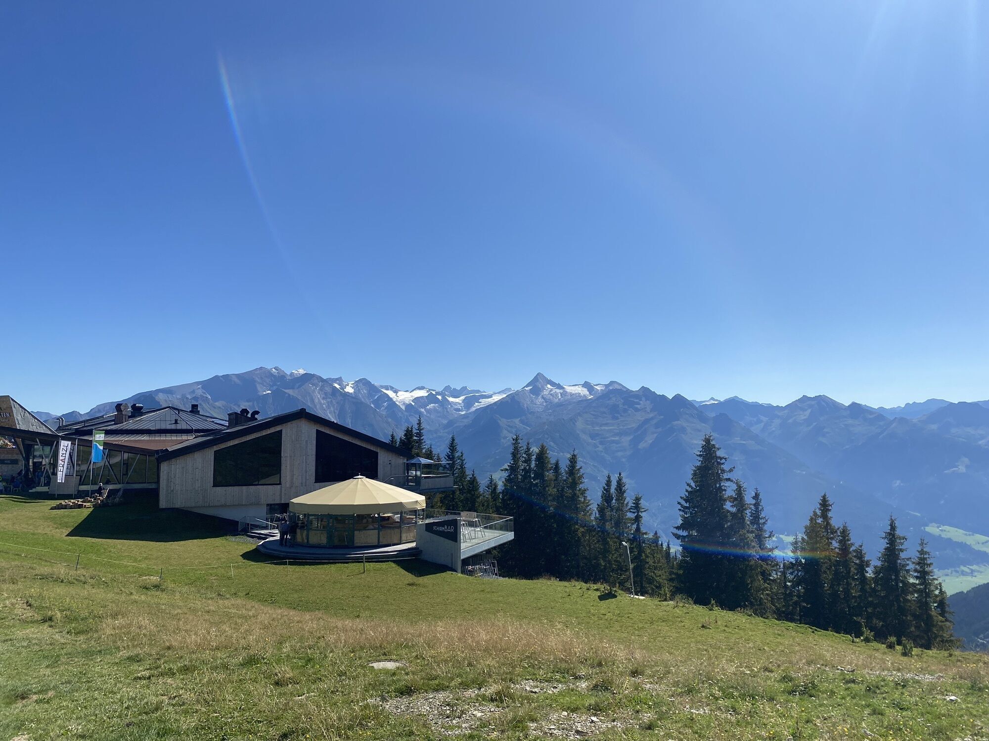
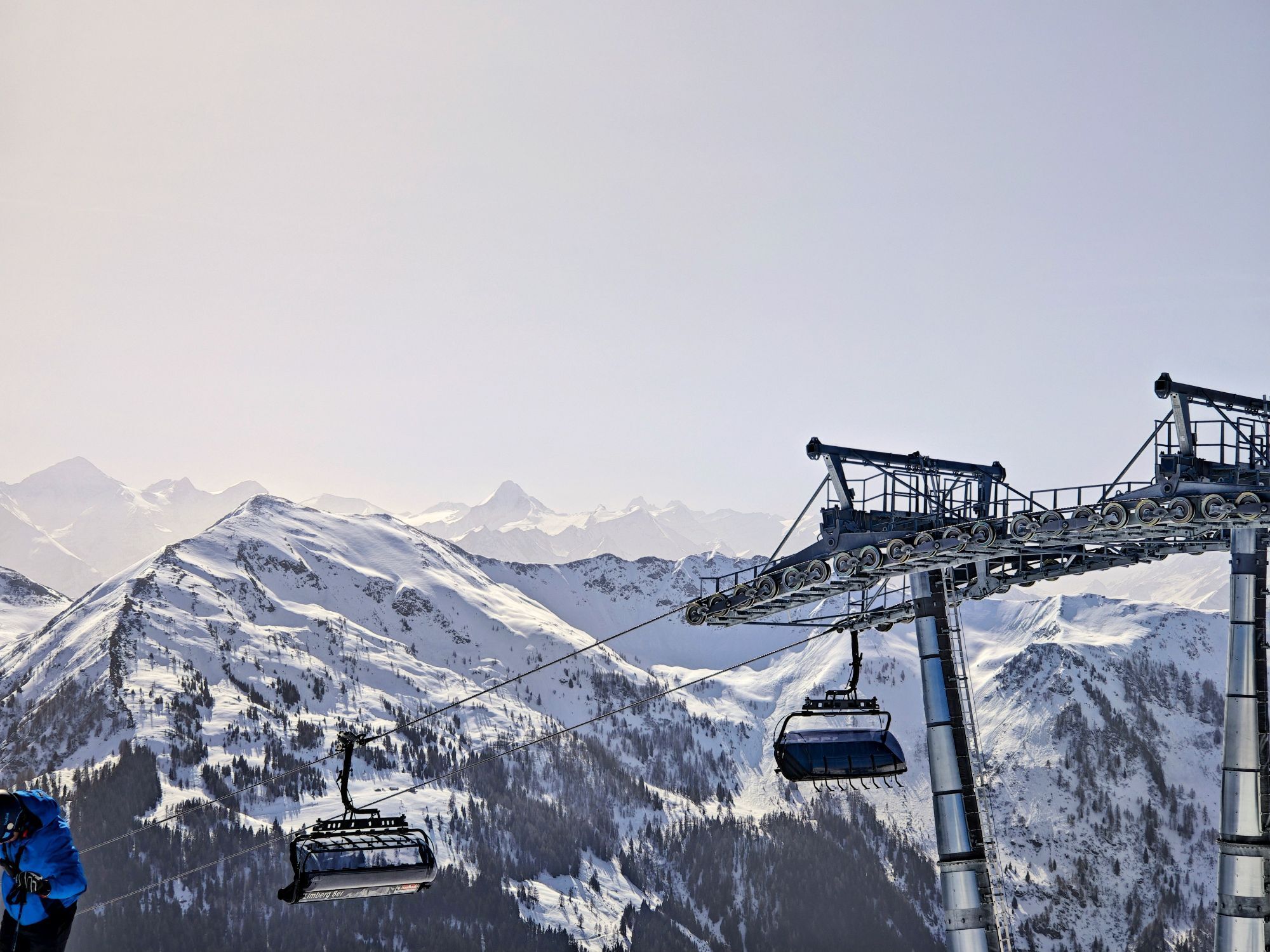
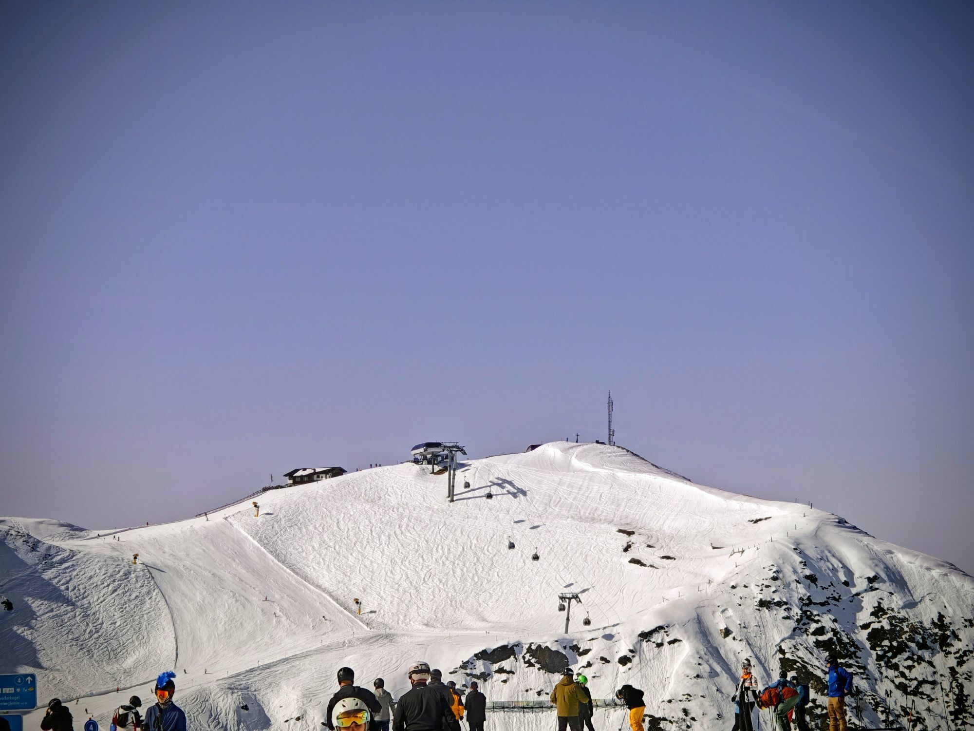
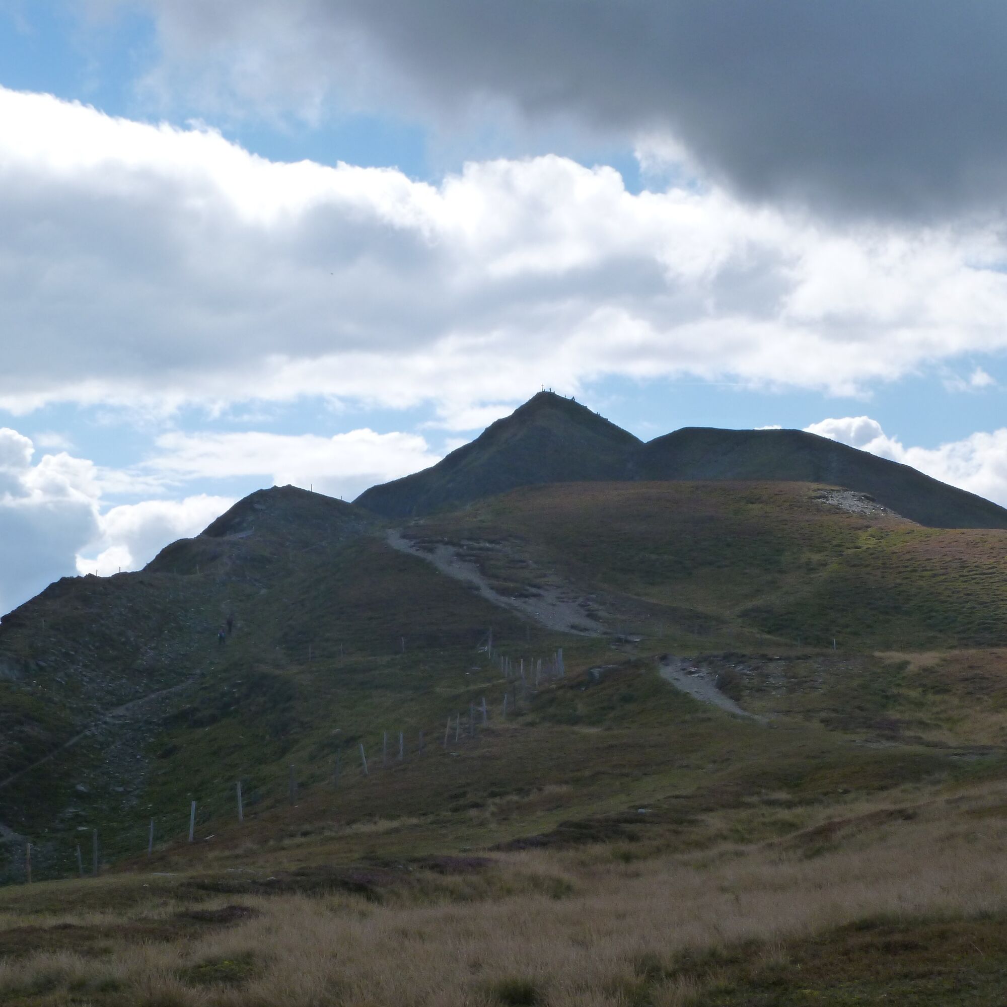
The hike starts comfortably with a ride up on the Schattberg-Express cable car. From the mountain station, it initially goes slightly downhill towards the west summit and past it on the left, slightly uphill into the Marxtenscharte. Then you either follow the ridge over Stemmerkogel and Saalbachkogel to Seetörl or bypass these peaks on the west side. Soon after, you reach the highest point of the route at Klingertörl below Hochkogel. From here it goes briefly downhill again before the hiking route turns east. The path leads almost flat over Hochsonnberg along the slopes below Zirmkogel, Gernkogel, and Maurerkogel through the Klammscharte and Rohertörl into the Kesselscharte. Over Hahnkopf you reach Kettingtörl from where the path climbs again about 200 meters a bit steeper to the summit of Schmittenhöhe. Hopefully, you will reach this in time for the last descent ride of the Schmittenhöhebahn (at high summer 5 p.m., in early summer and autumn at 4:30 p.m.), which brings you comfortably down to Zell am See. Back to Maishofen you can either walk along the lakeside promenade or take the half-hourly bus (line 260 or 680).

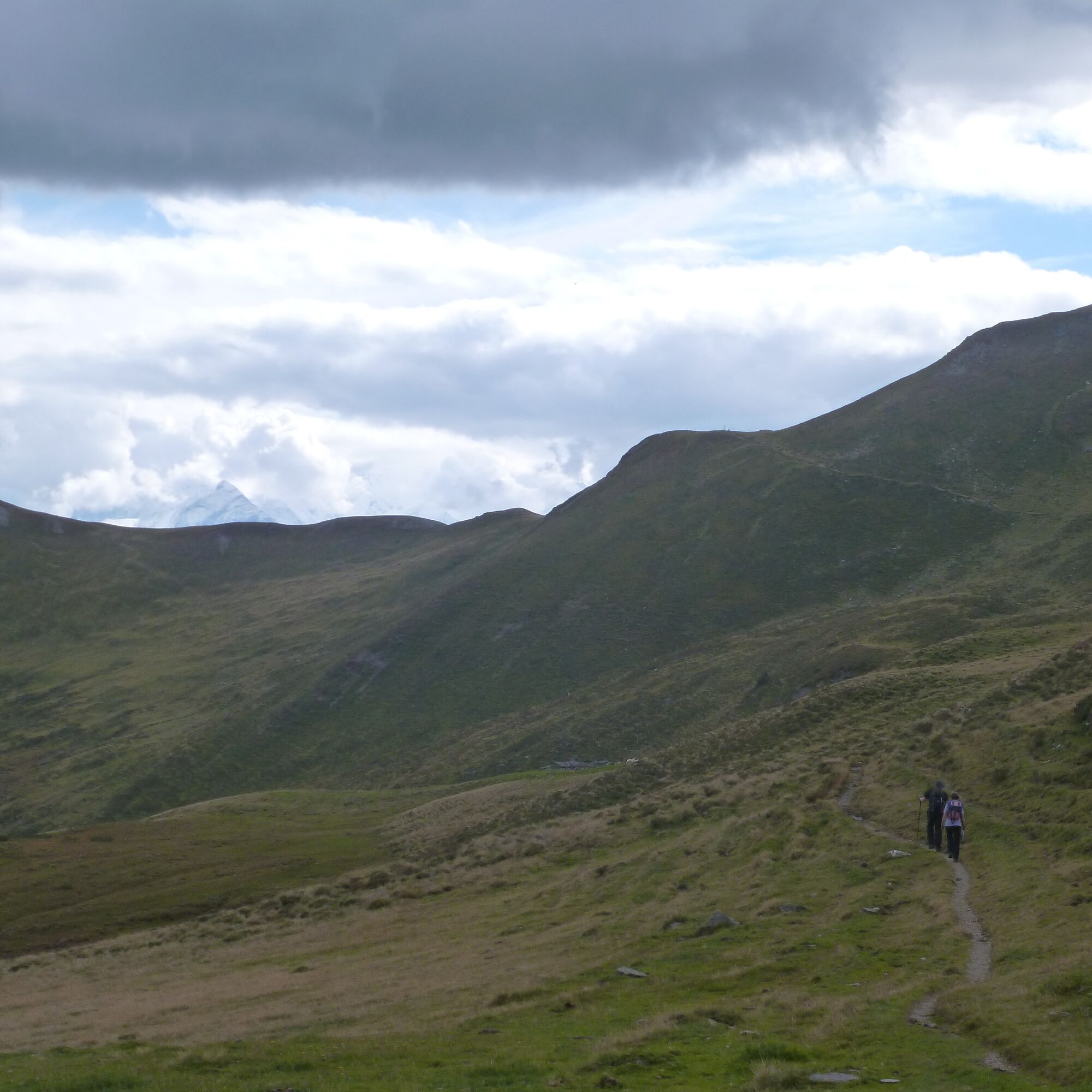
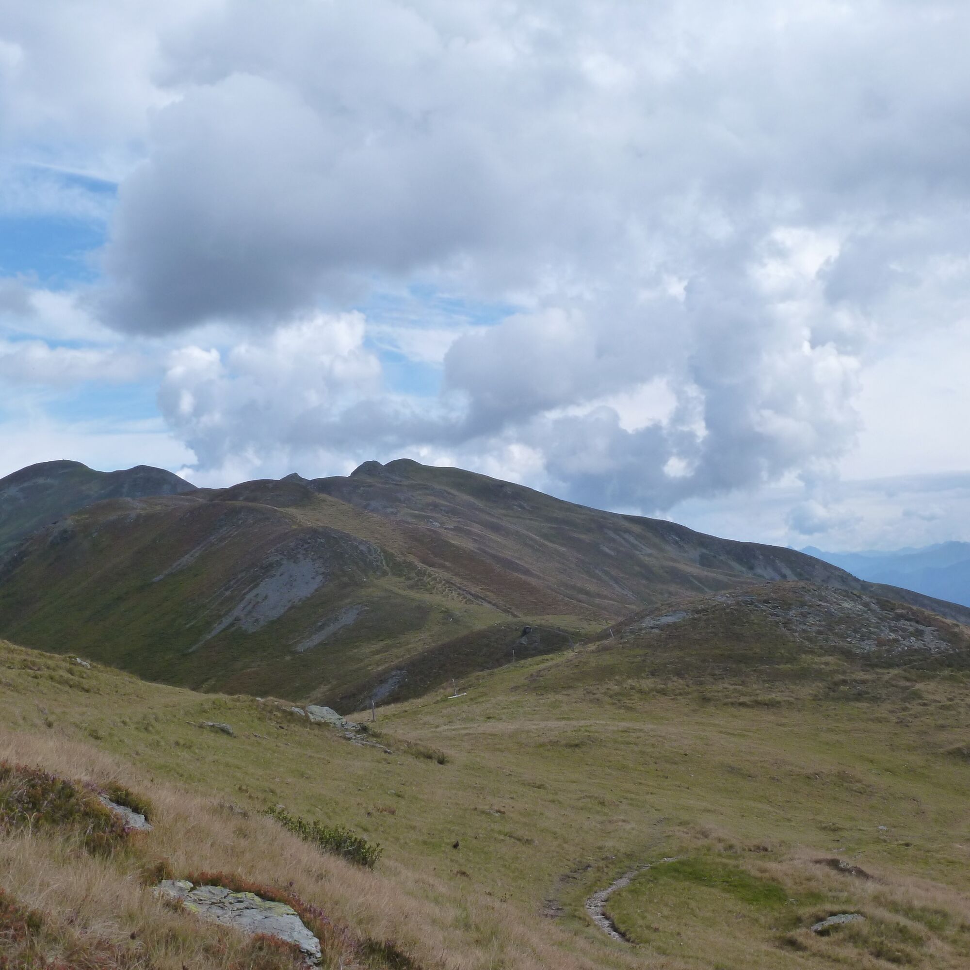
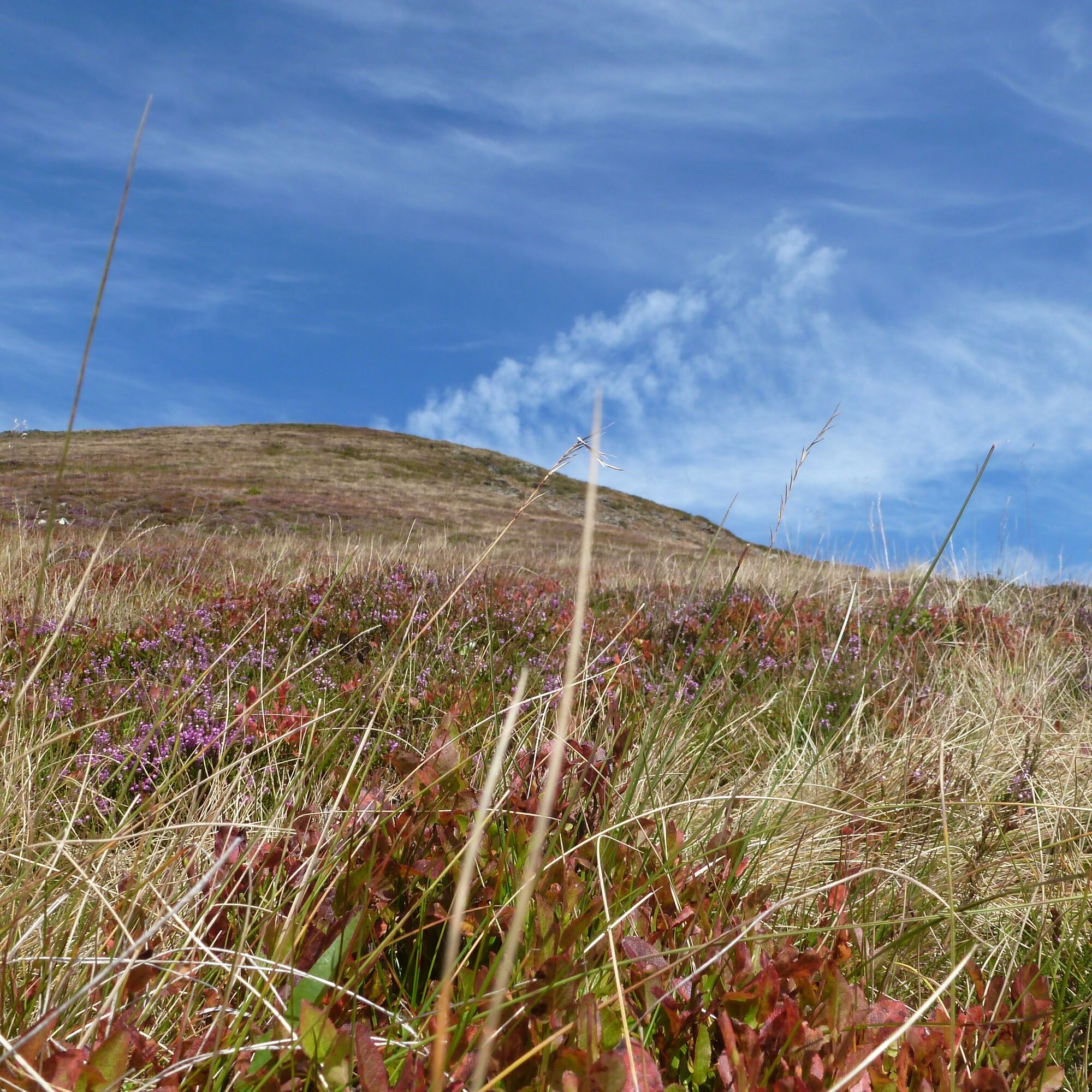
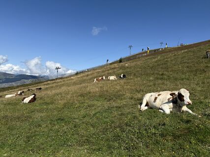
Hiking trail across high alpine meadows. No long ascents or descents, but due to the length some endurance is required.
Da
Da
Da
There are always springs and streams along the route, so water supply should not be a problem.
Since it is a point-to-point route, it is best to use public transportation.
Postbus line 680 from Maishofen to Saalbach (approx. 25 minutes travel time). Mon-Sun: 07:00-18:30 · Hourly departure.
Various parking lots in Maishofen.
Saalbach cable cars: http://www.saalbach.com/de/sommer/bergbahnen.html
You can also follow the Pinzgauer Spaziergang westward from Klinglertörl and descend to Uttendorf, or even further west to Stuhlfelden.
Spletne kamere s turneje
-
Schmittenhöhe
-
Schattberg - West
-
Schattberg Westgipfel
-
Hinterglemm Dorf
-
Kohlmais Tal
-
Sonnkogel
-
Schmittenhöhe
-
Zell am See / Hotel Berner
-
Schmittenhöhe
-
Schmittenhöhe
-
Hinterglemm - Saalbach
-
Schattberg-Ost
-
Zwölferkogel
-
zellamseeXpress
-
Martenhof
-
Wohlfühlhotel-Johanneshof
-
Eberharthof - Saalbach-Hinterglemm
Priljubljeni izleti v okolici
-
4.7
Tristkogel
težkoPohodništvo 15.6 km -
4.5
Sigmund Thun Klamm
svetlobaPohodništvo 3.10 km -
4.1
Schwalbenwand Nr. 80, 81, 82
srednjaPohodništvo 13.0 km -
4.8
Sigmund Thun Klamm, Klammsee, Bürgkogel
svetlobaPohodništvo 4.56 km -
4.5
Hoher Tenn mit Bergspitze 3.368m, Schneespitze 3.317m, Kleiner Tenn 3.158m, Bauernbrachkopf 3.125m, Kempsenkopf 3.090m, Imbachhorn 2.470m, Rettenzink 2.510m & Rosskopf 1.999m
težkoVisokogorska tura 31.8 km -
5.0
Manlitzkogel
težkoPohodništvo 13.4 km -
4.4
Thumersbach, Runde um den Zeller See
svetlobaPohodništvo 13.3 km -
4.2
Saalachtaler Höhenweg EAST (Asitz - Biberg)
srednjaPohodništvo 13.1 km -
4.0
Berg der Sinne
svetlobaPohodništvo 4.39 km -
4.7
Areitweg - Plettsauerkopf - Rundwanderung
srednjaPohodništvo 11.8 km
Pohodništvo in sledenje


Ne zamudite ponudb in navdiha za naslednje počitnice
Vaš e-poštni naslov je bil dodan na poštni seznam.