







Flachau - Grießenkareck - Frauenalm - Flachauwinkl
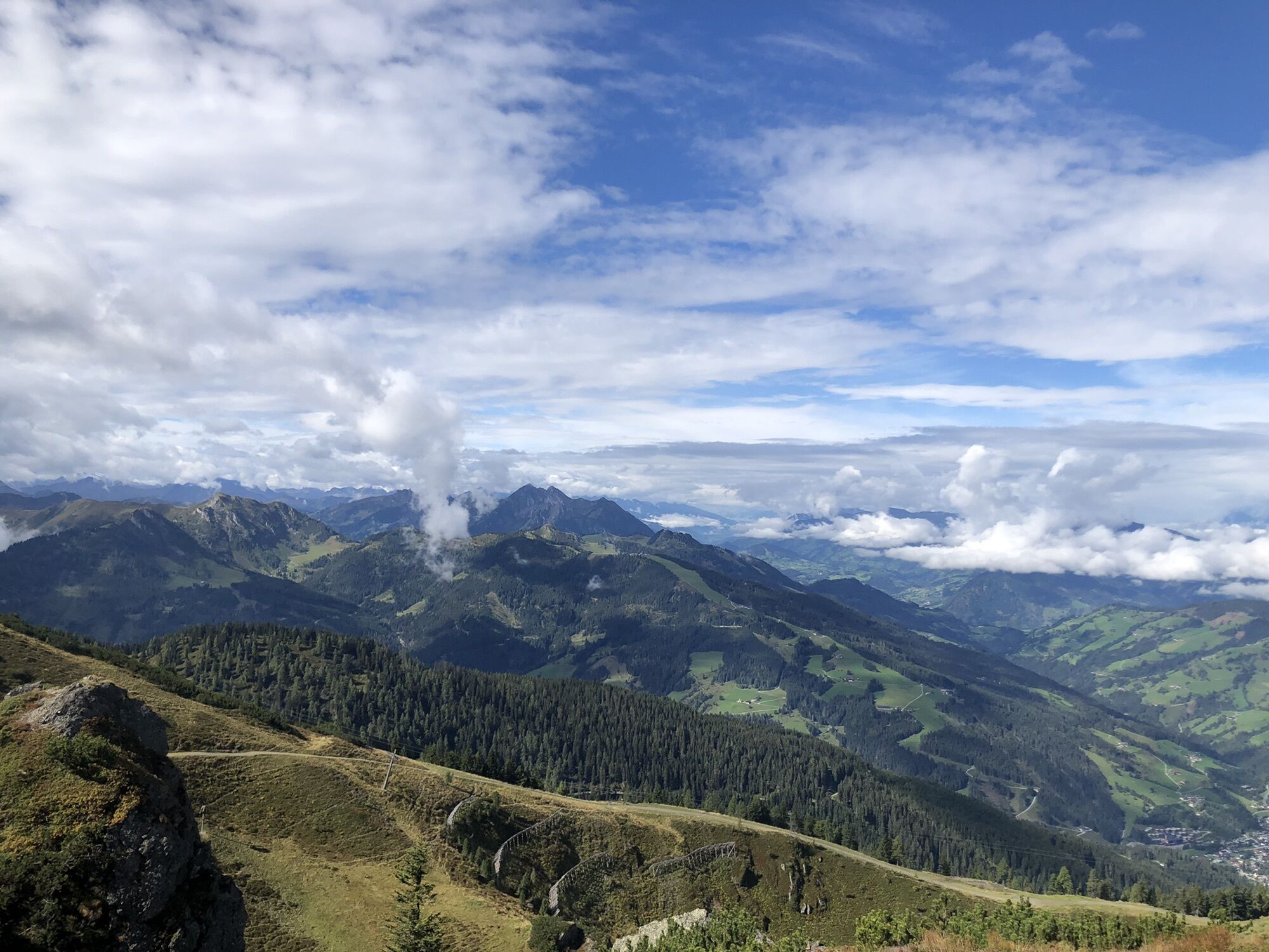
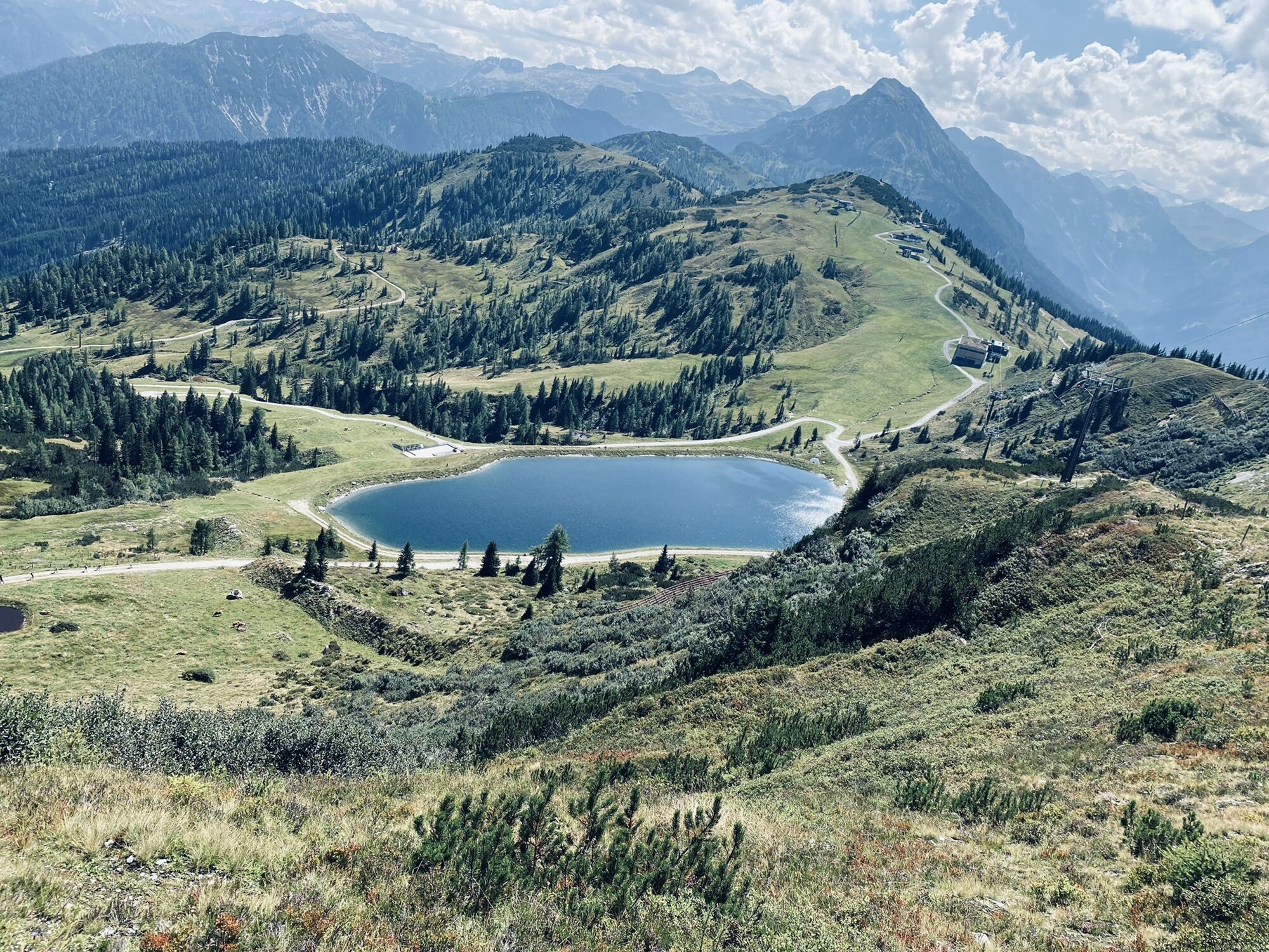
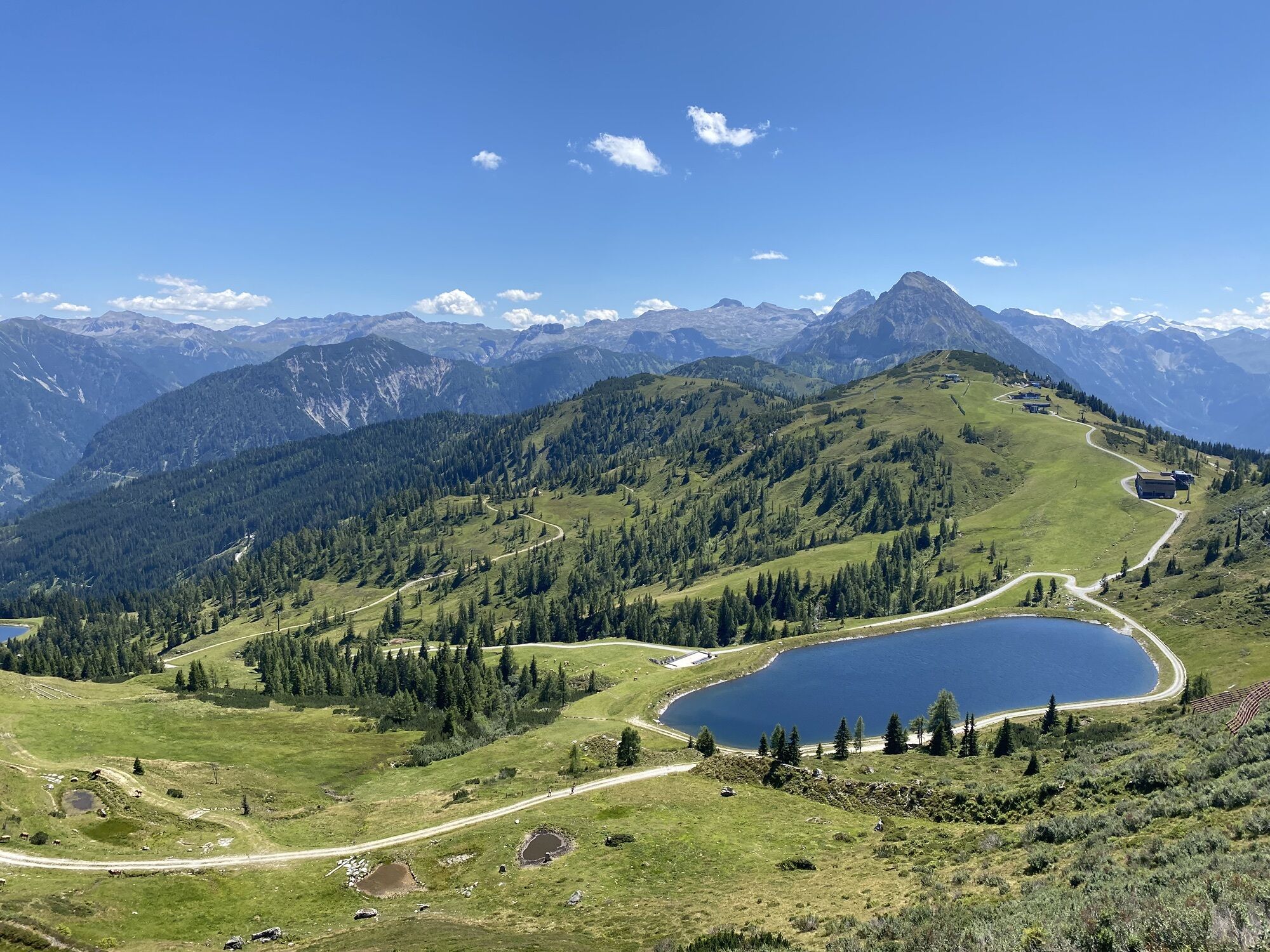
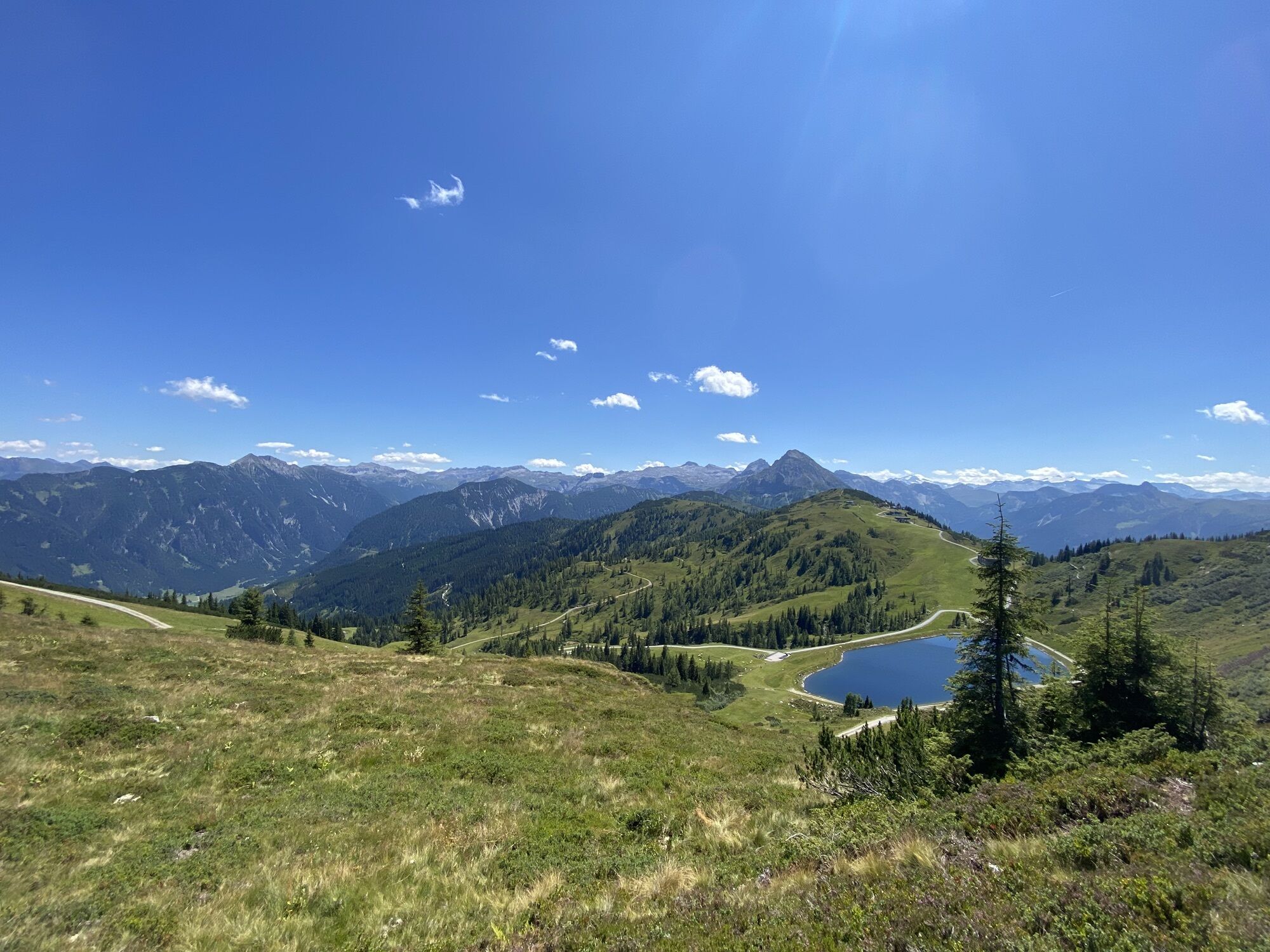
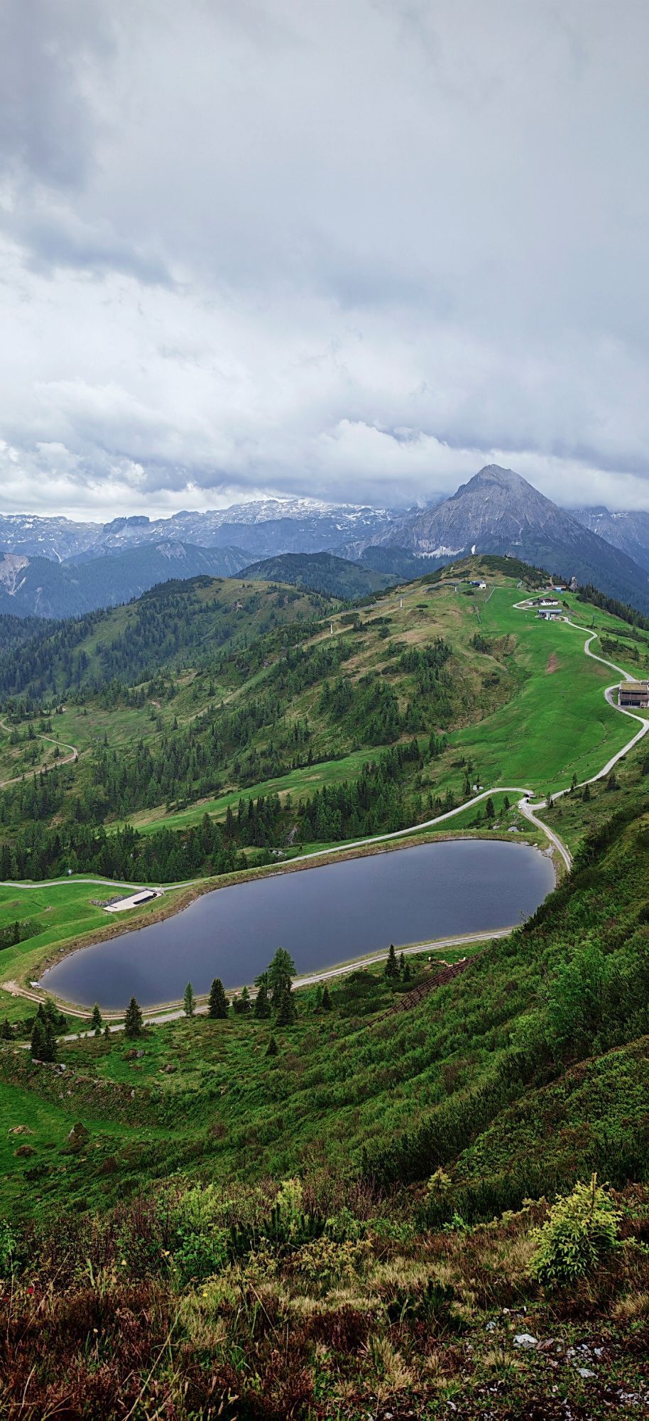
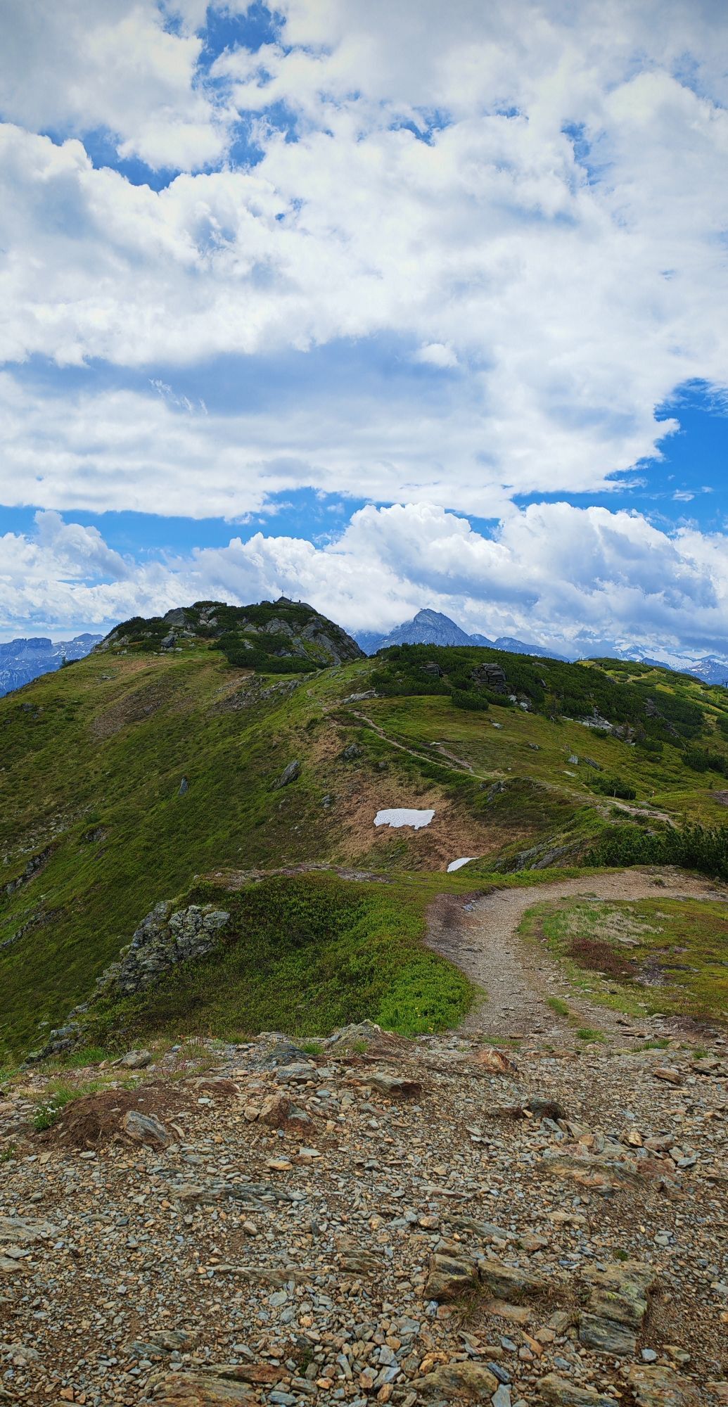
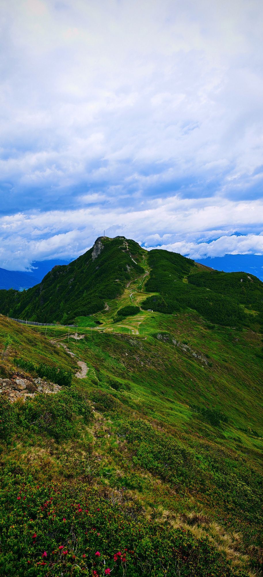
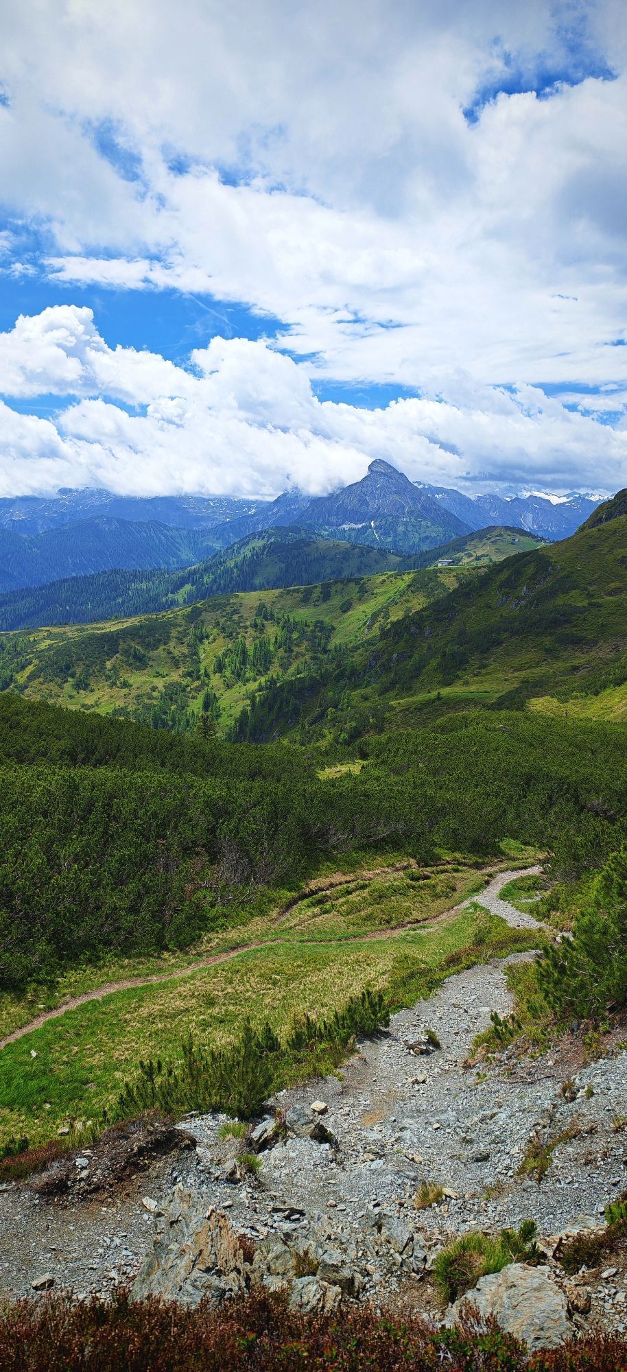
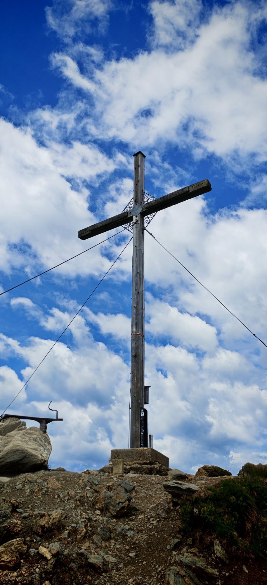
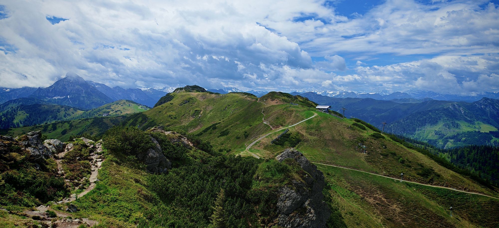
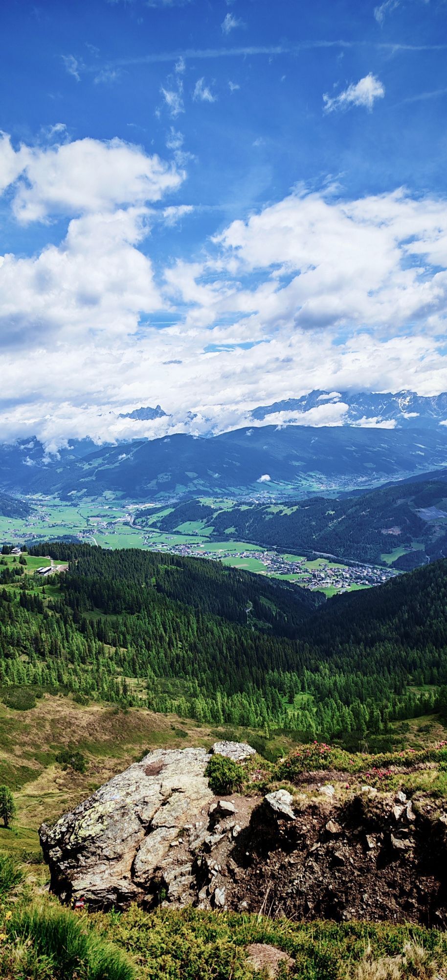
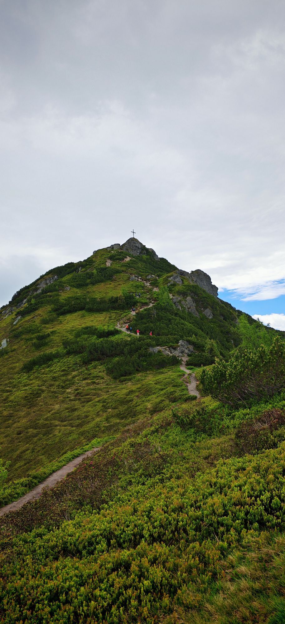

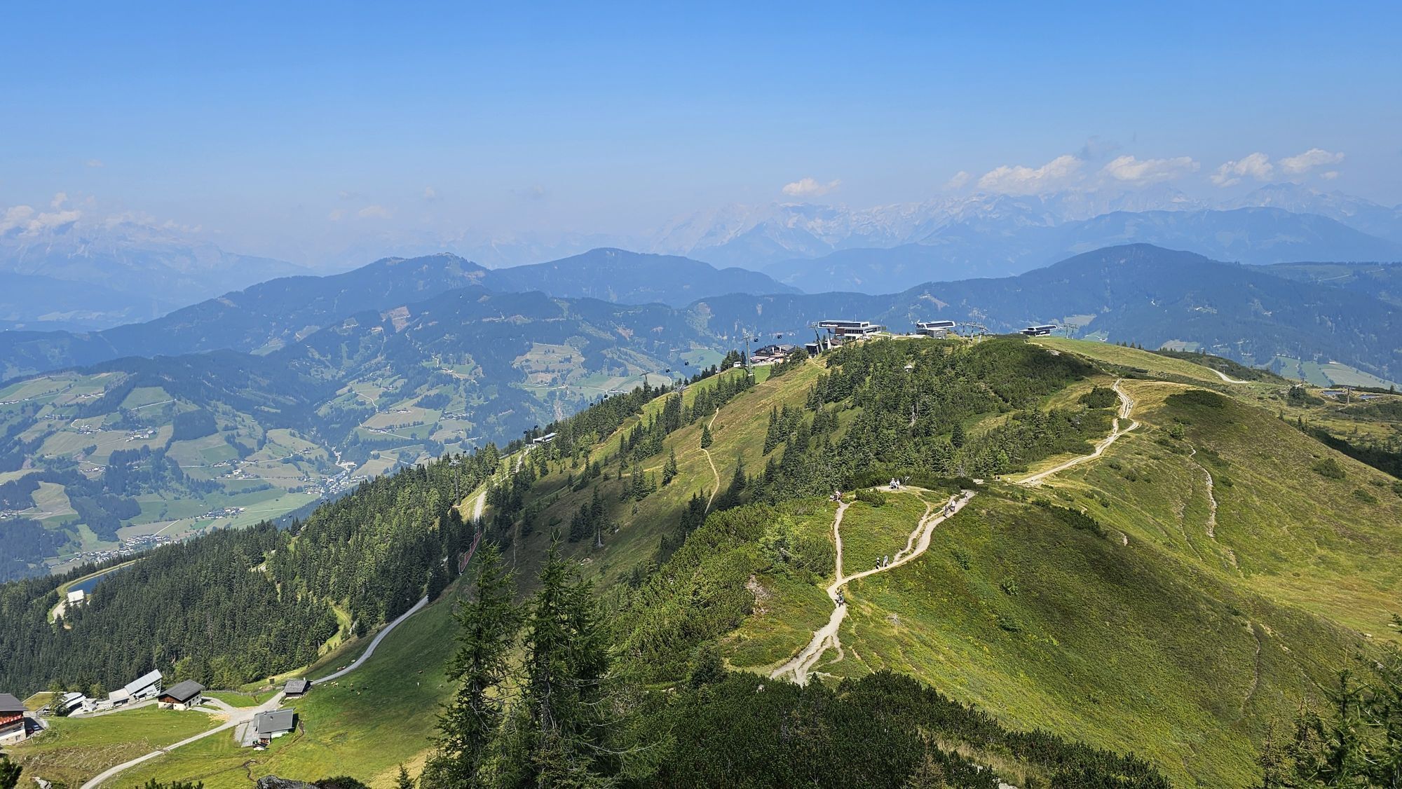
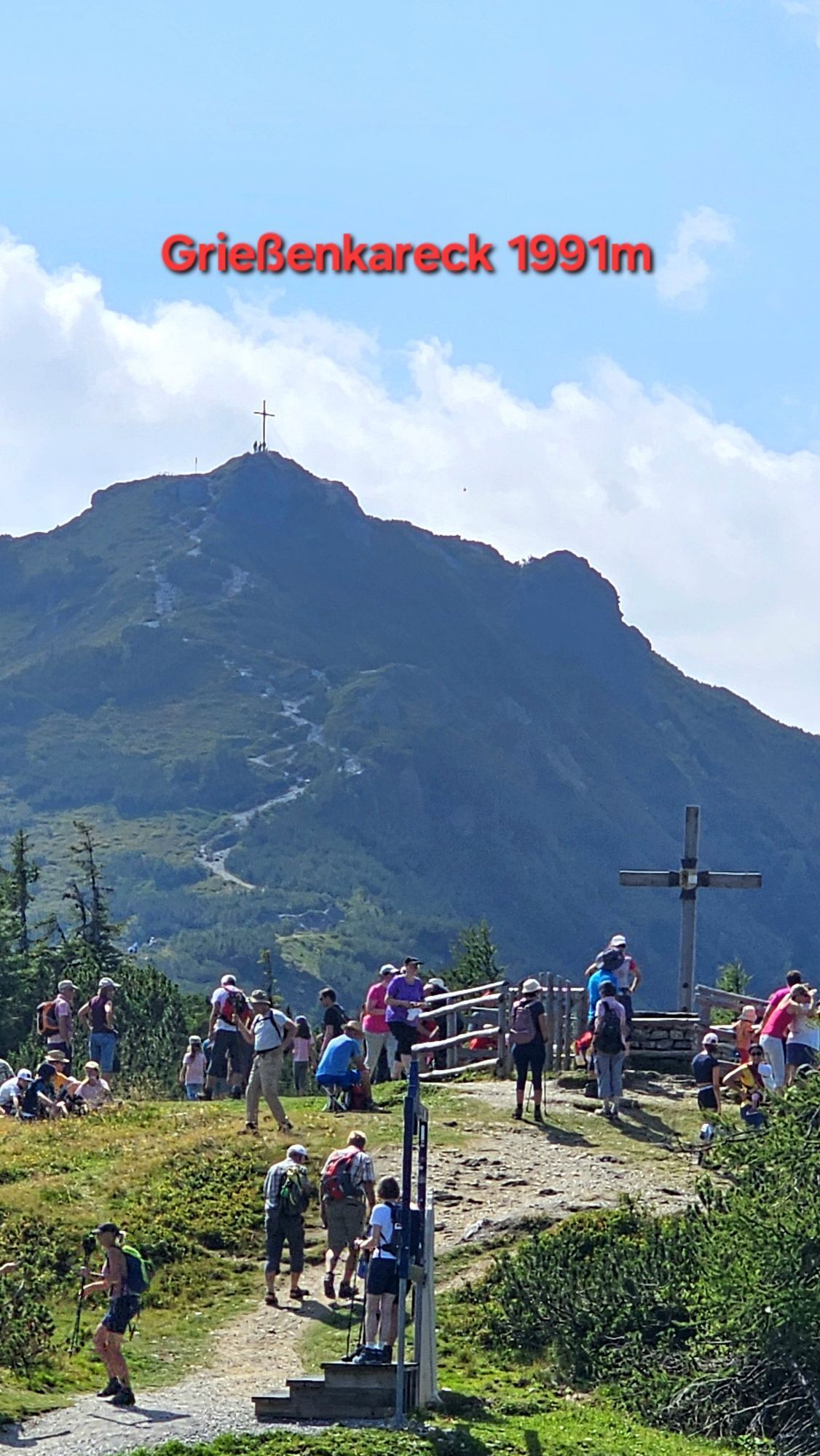
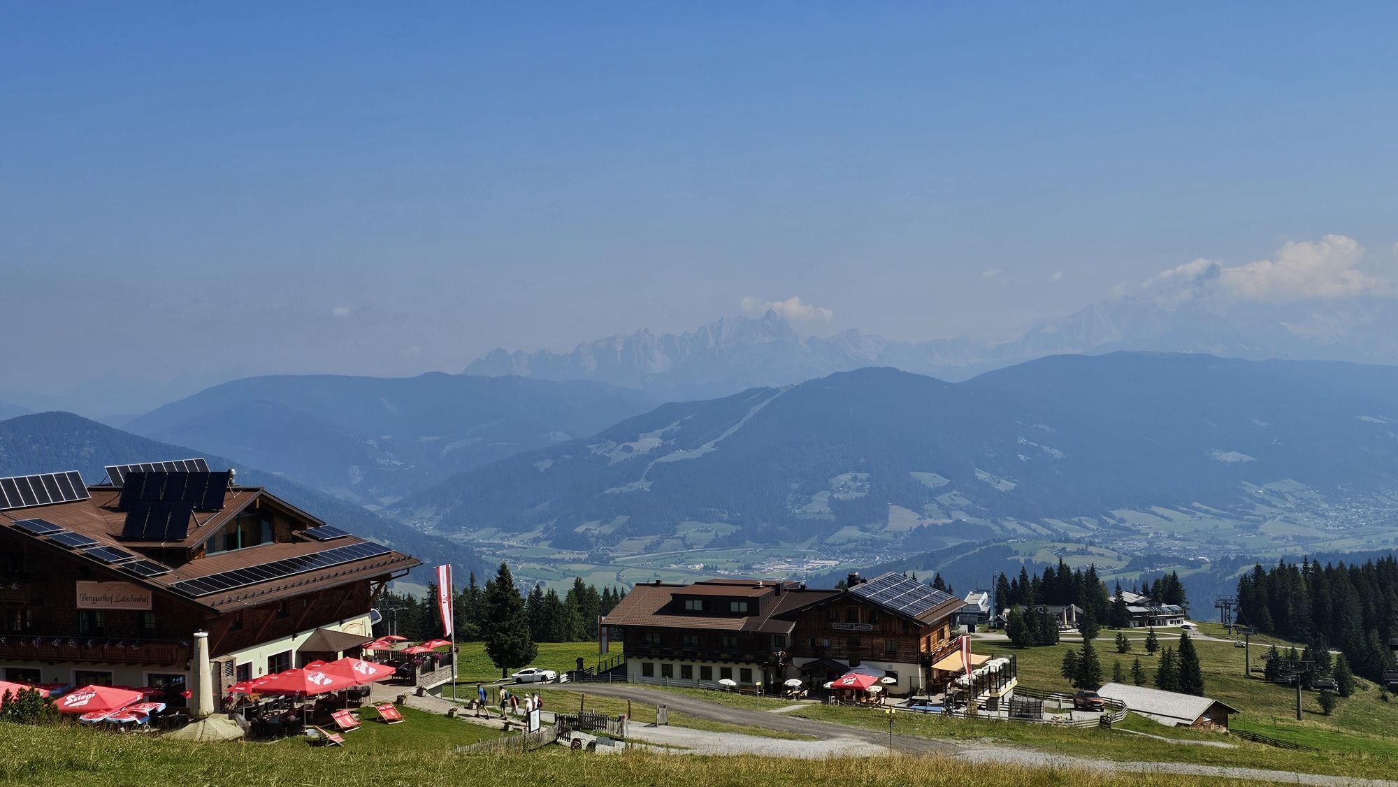
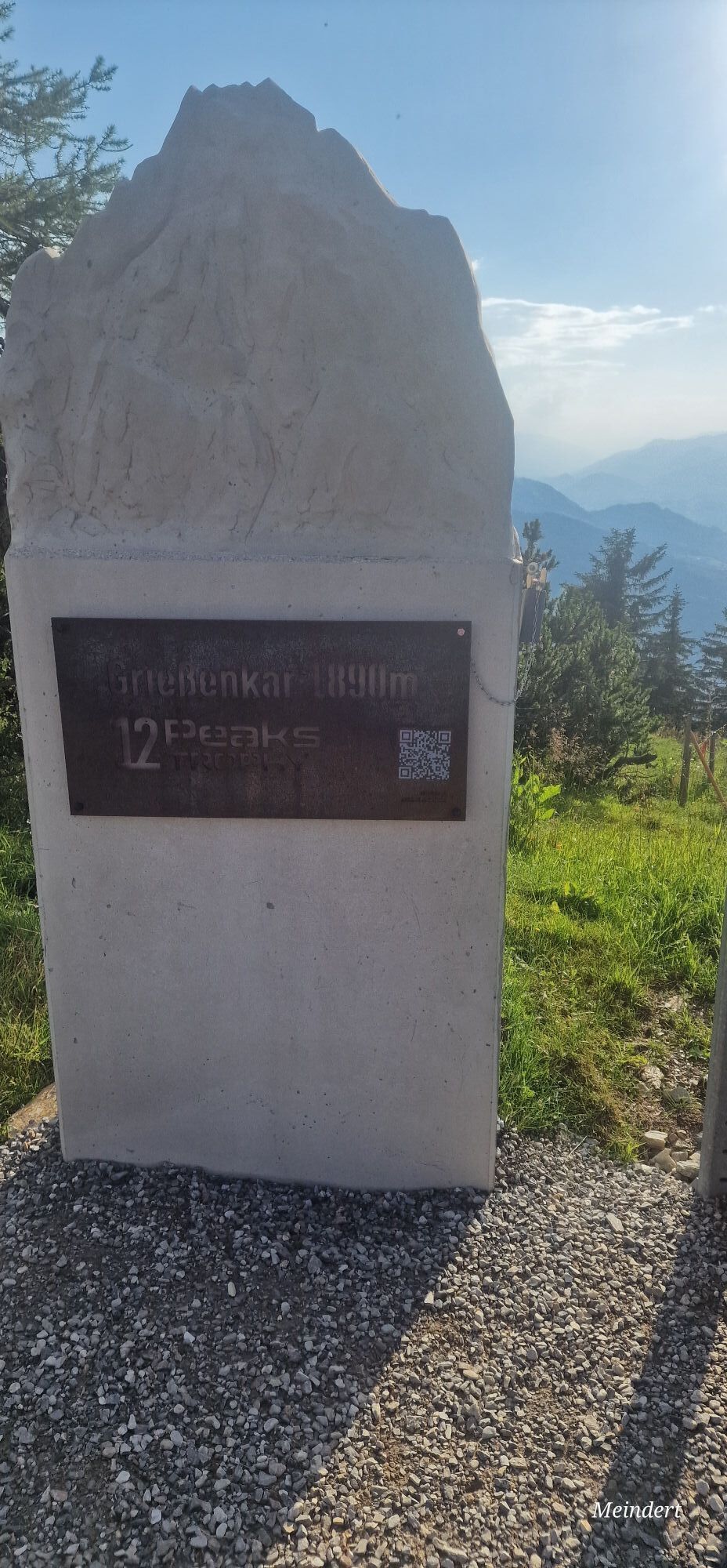
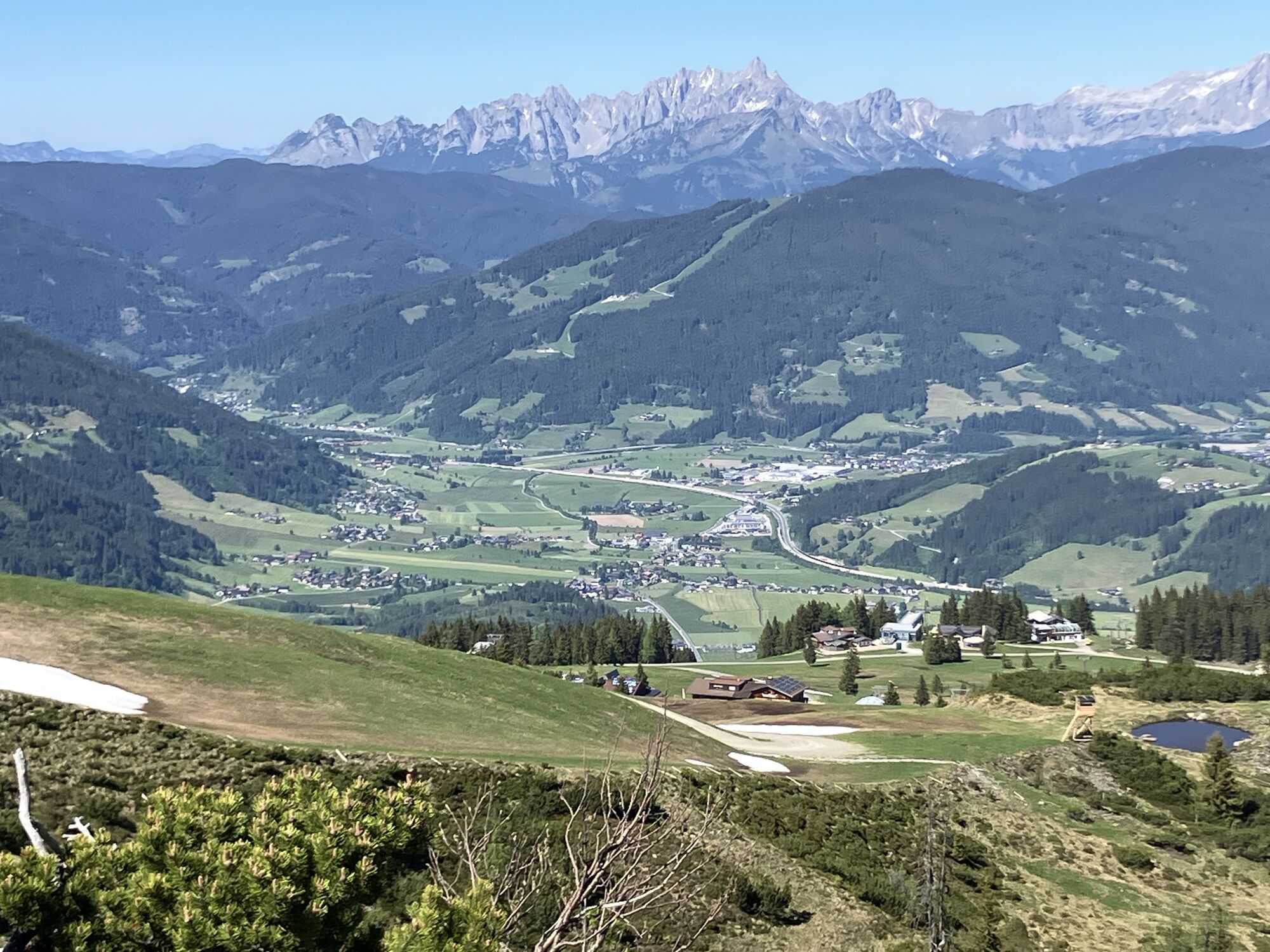
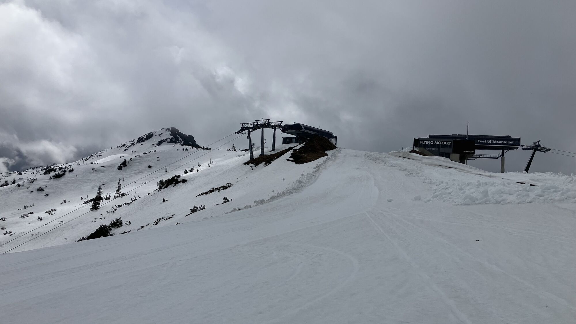
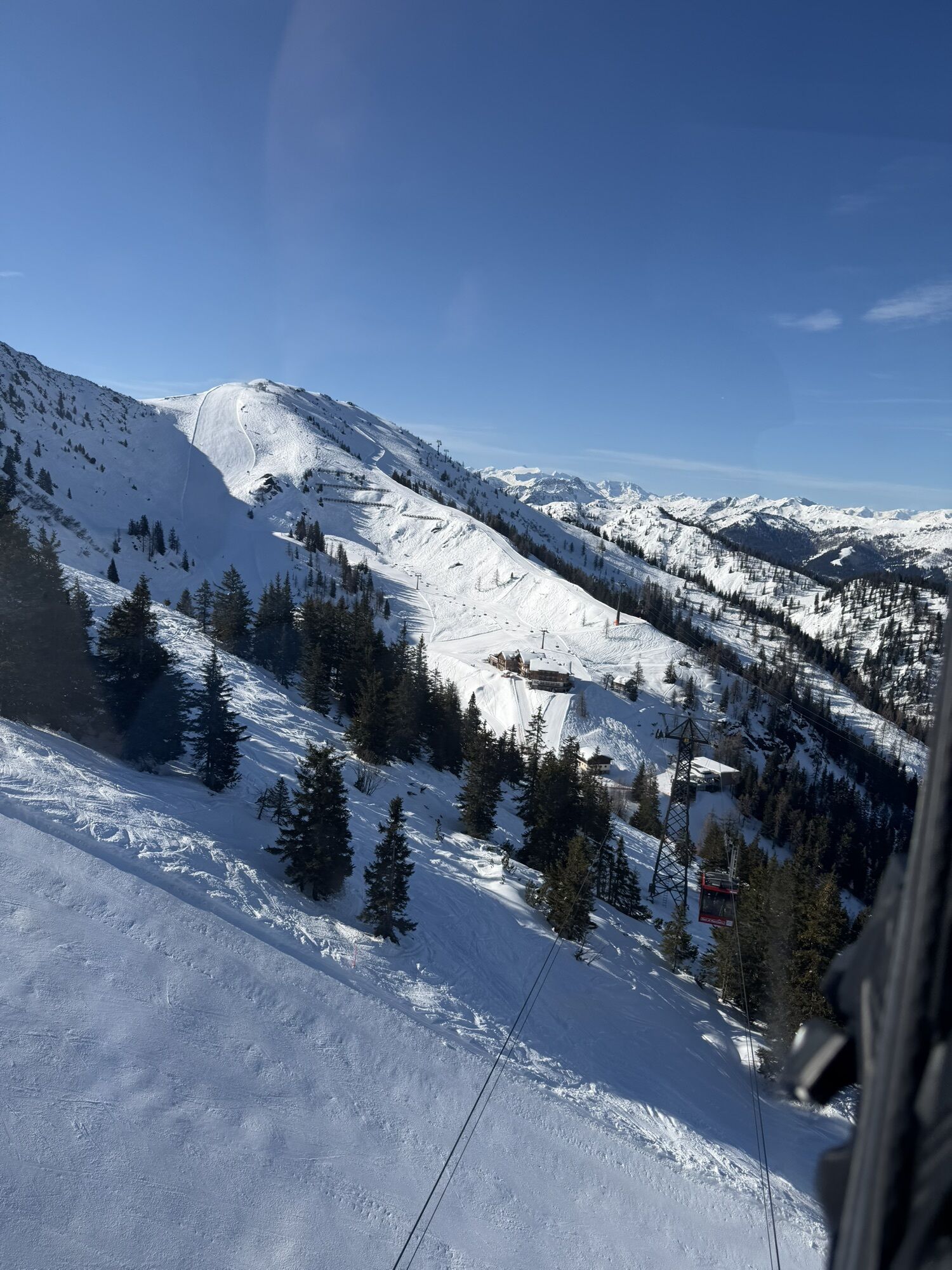
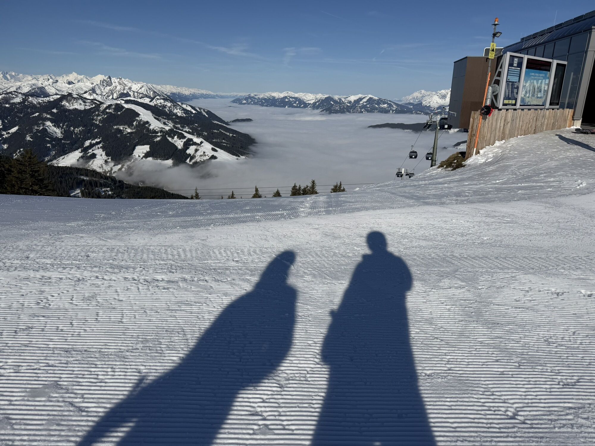
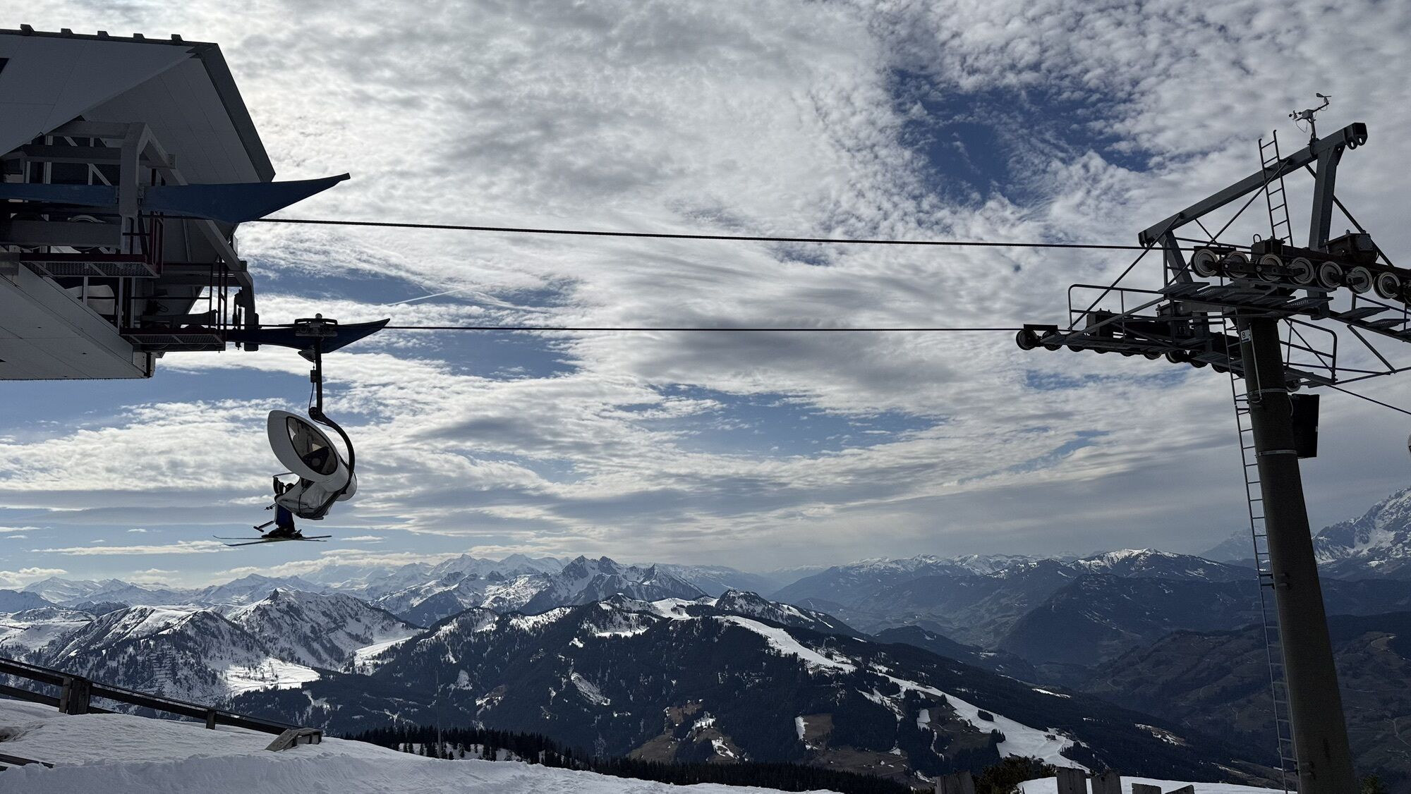
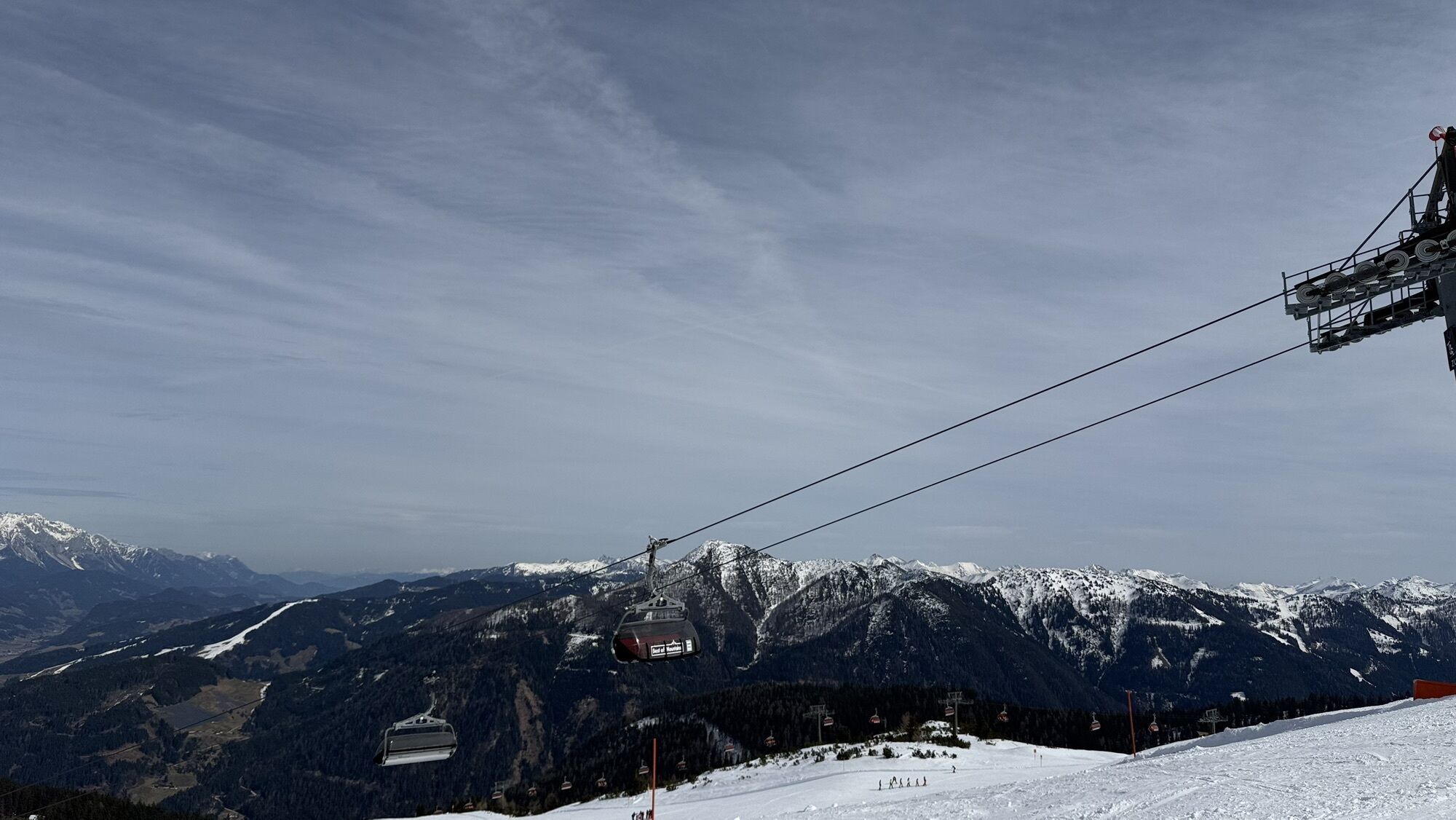
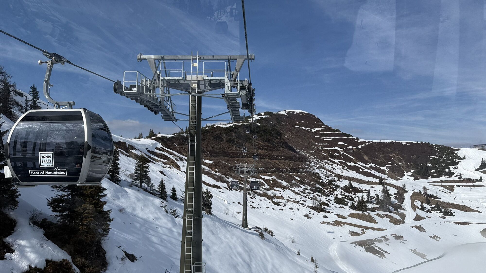
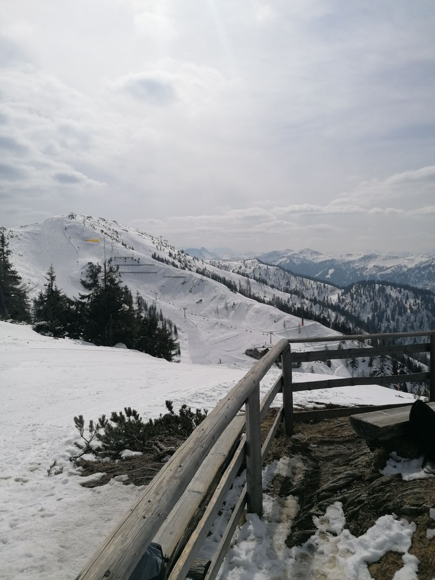
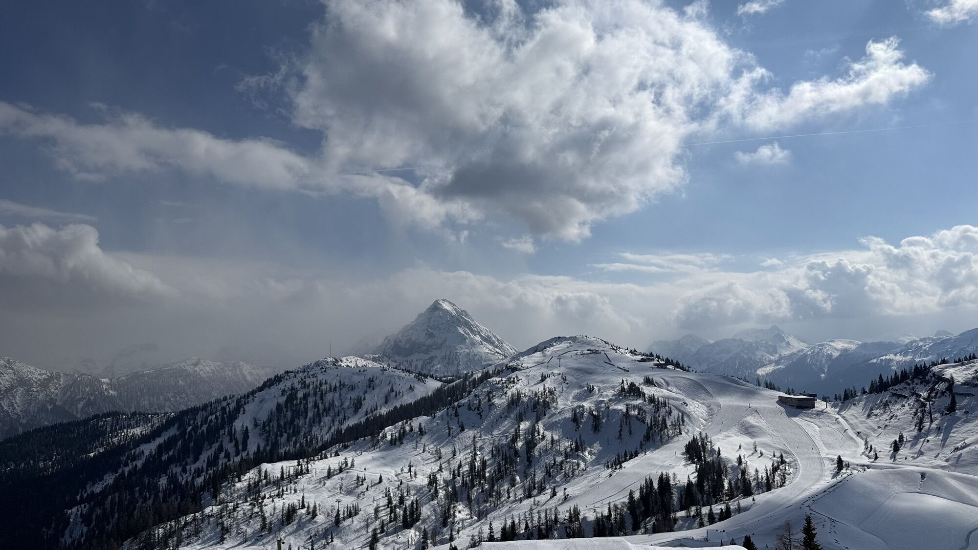
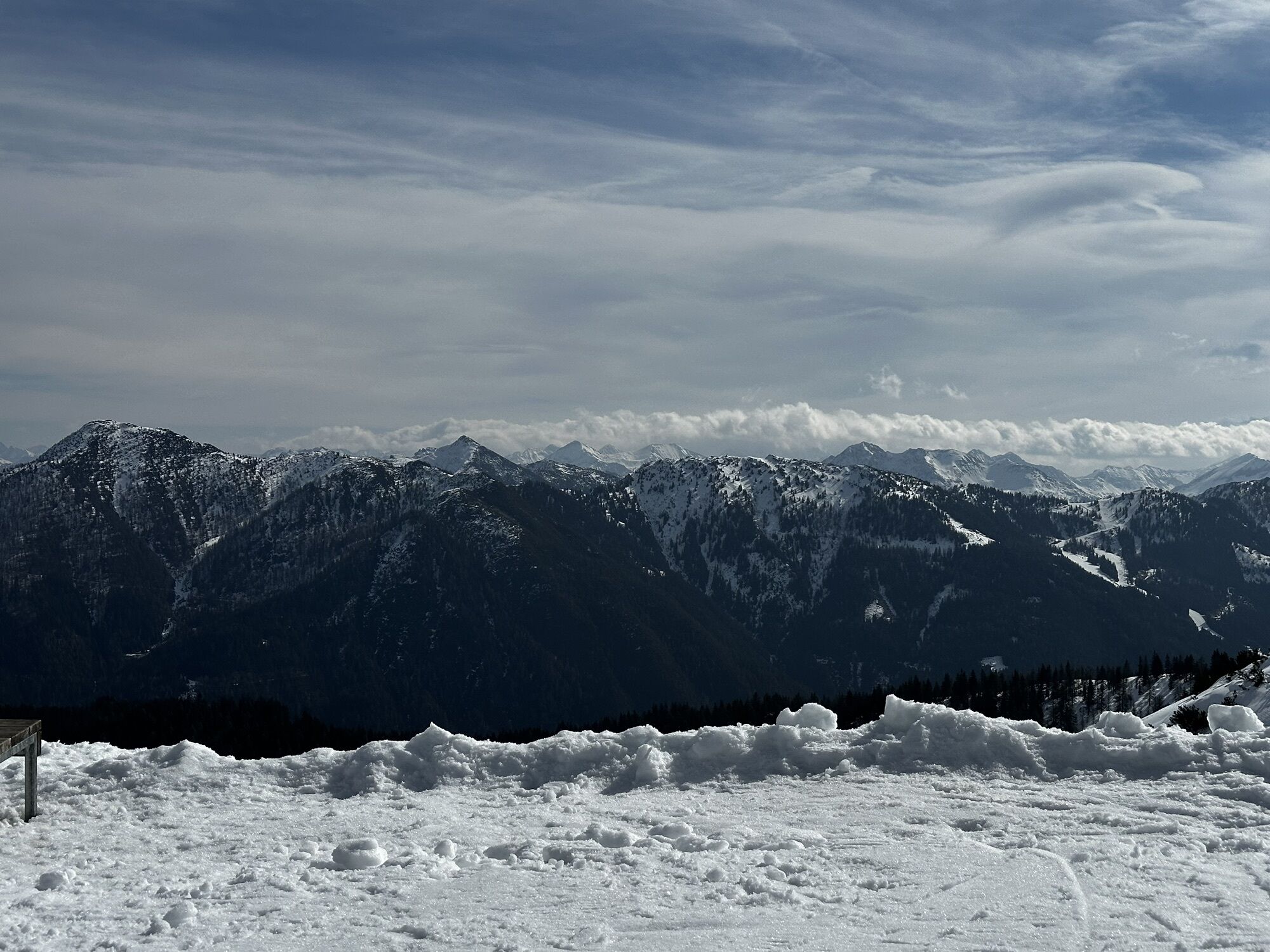
If you do not want to miss the wonderful panorama at the summit and want to save some energy at the beginning of the hike, it is possible during the operating times of the Flachau cable cars to ride up...
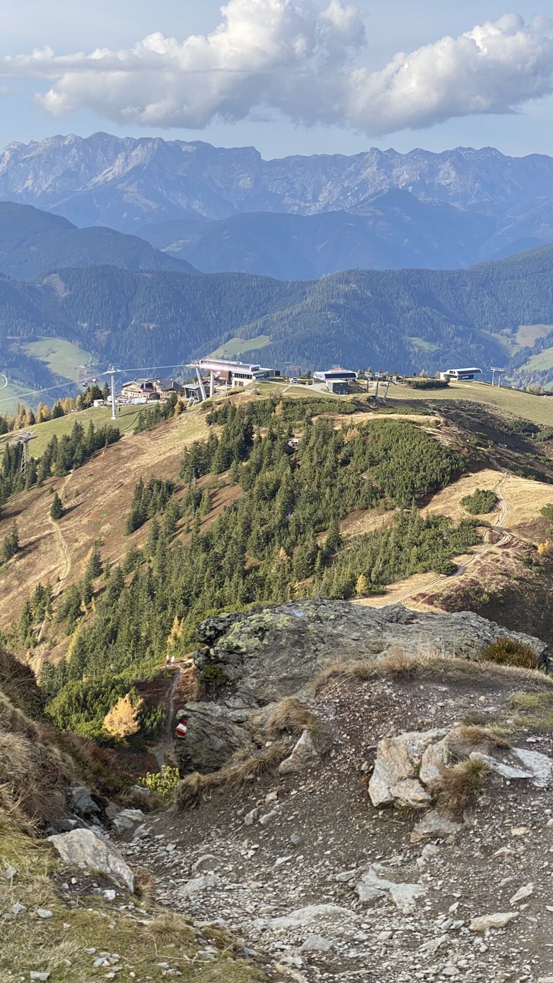
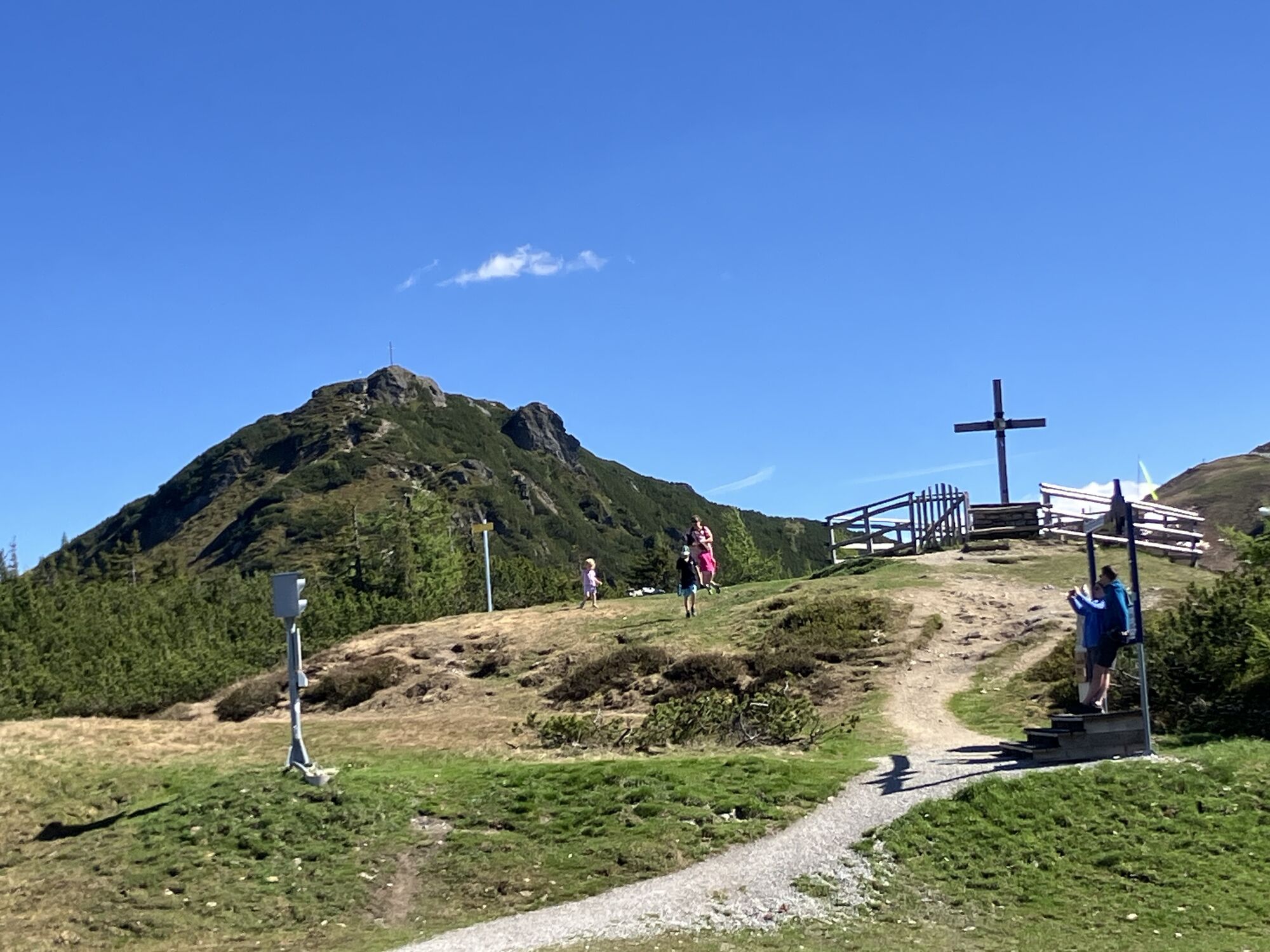
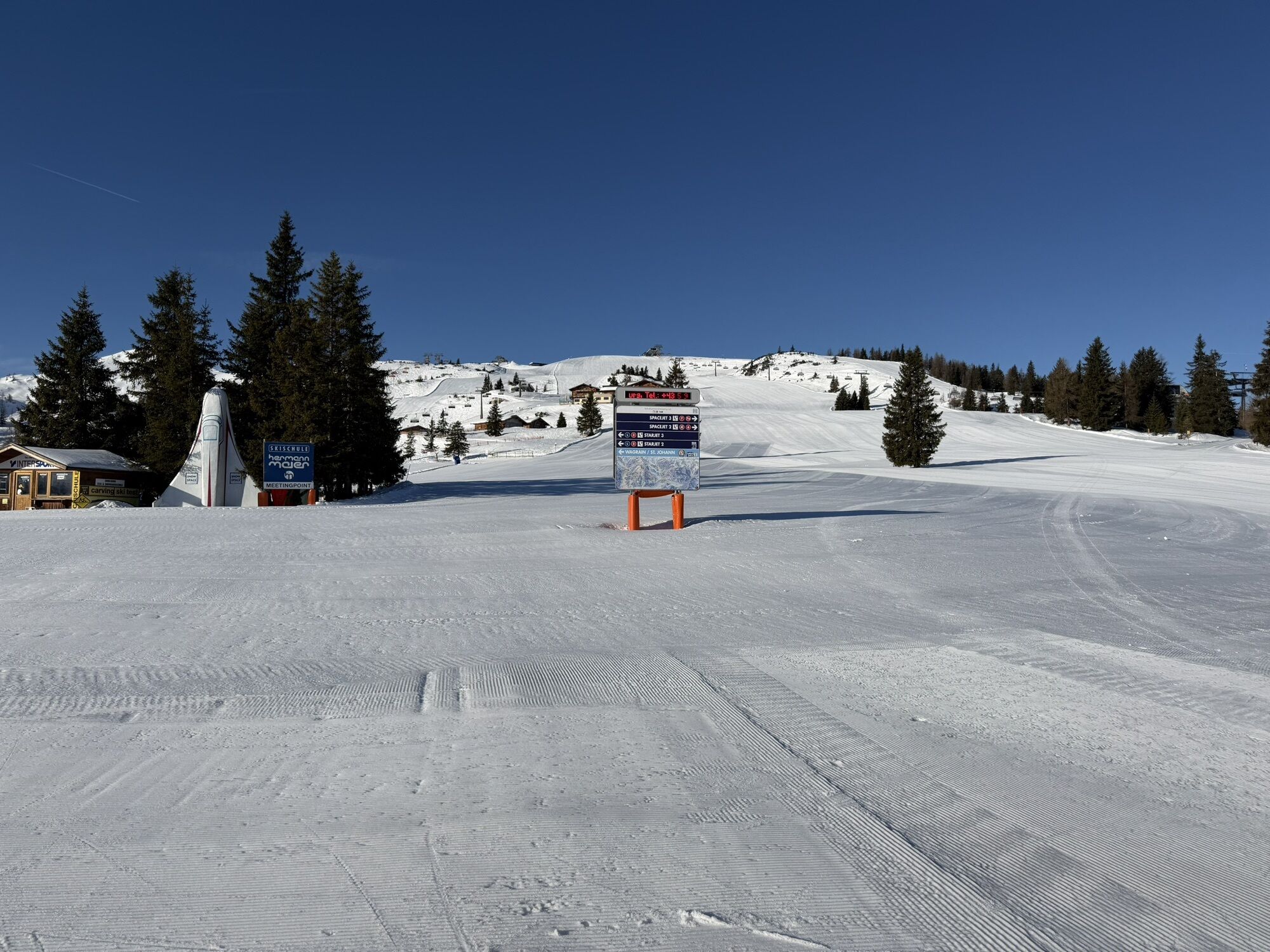
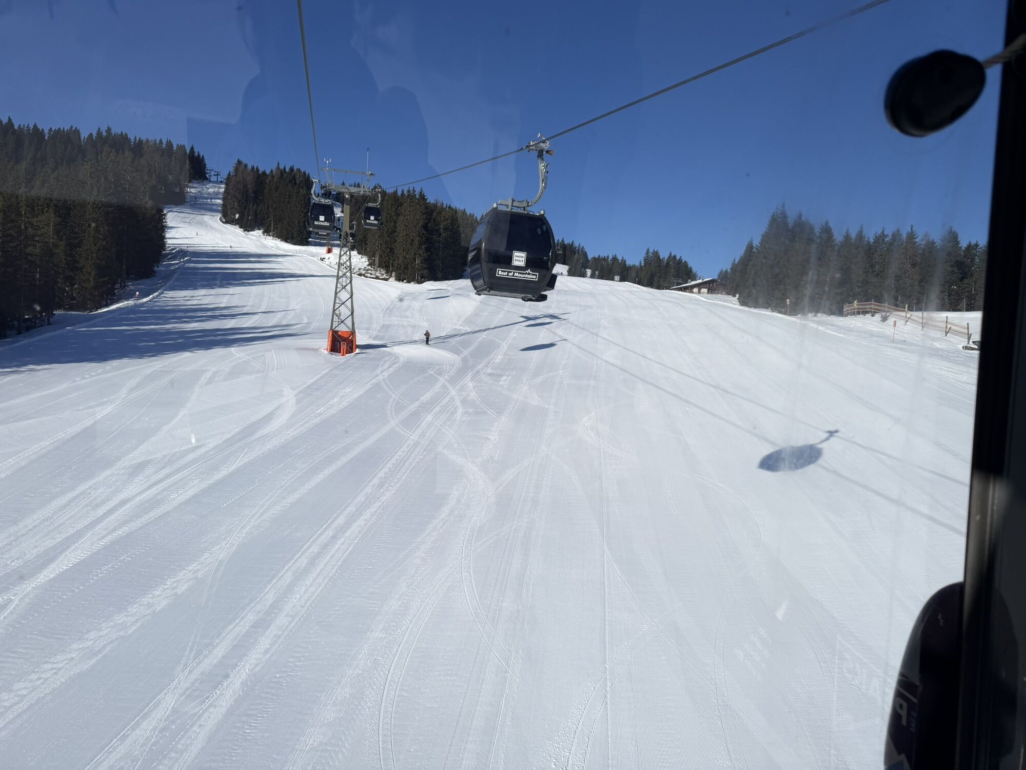
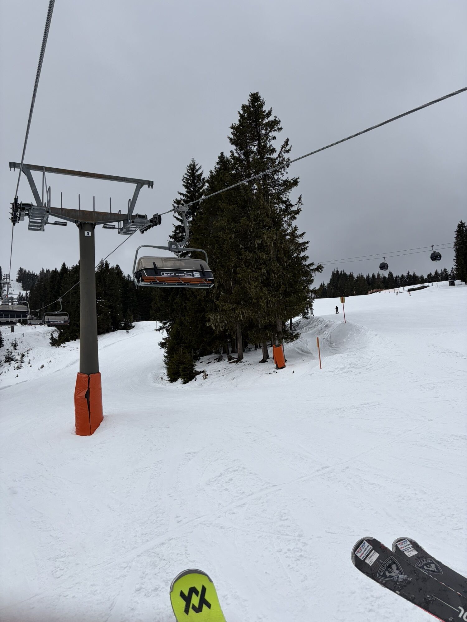
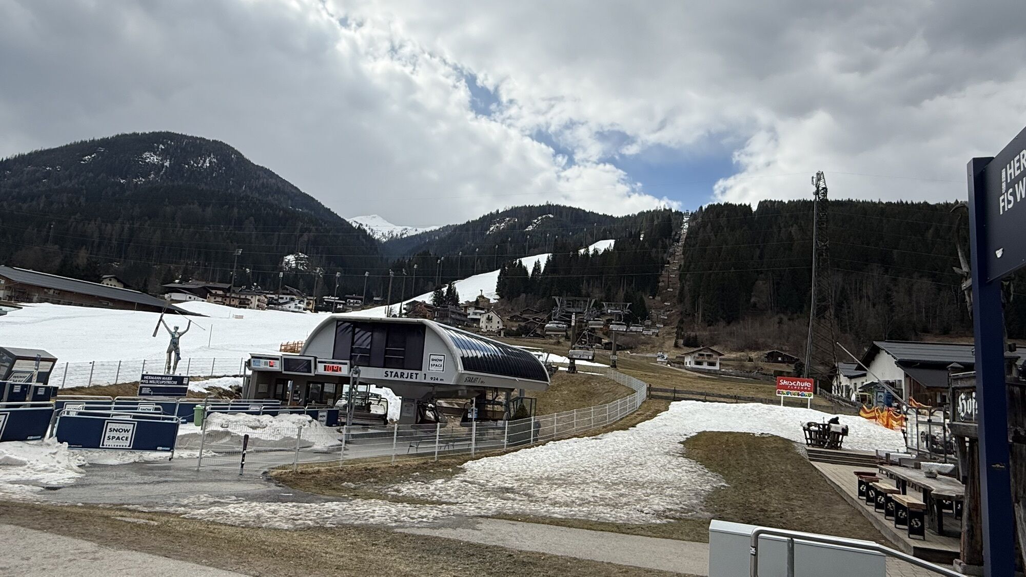
If you do not want to miss the wonderful panorama at the summit and want to save some energy at the beginning of the hike, it is possible during the operating times of the Flachau cable cars to ride up with starjet 1 + 2 to the mountain inn Latschenhof.
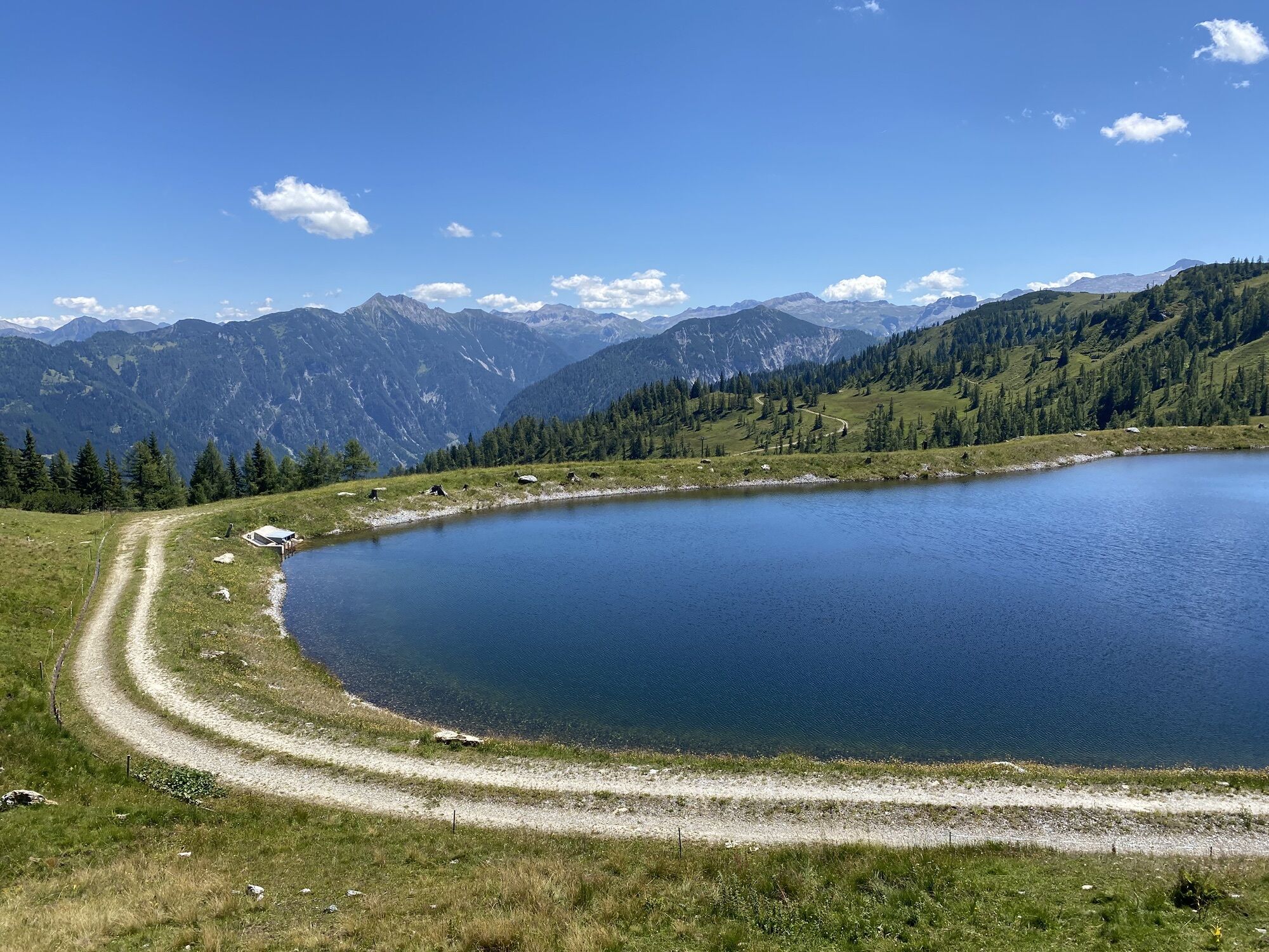
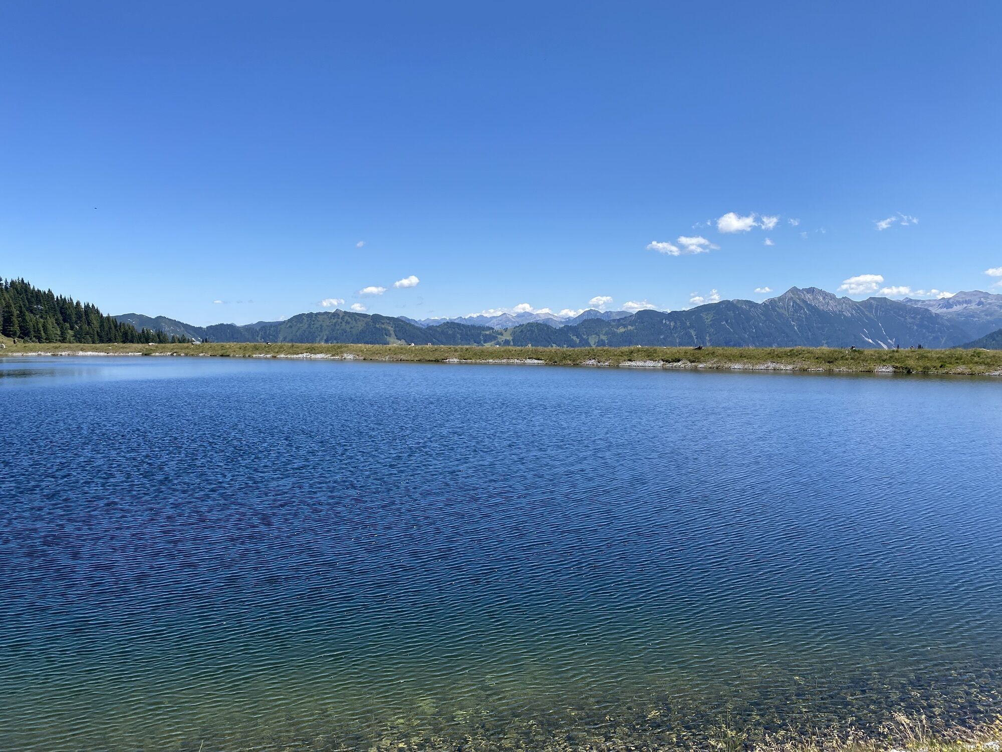
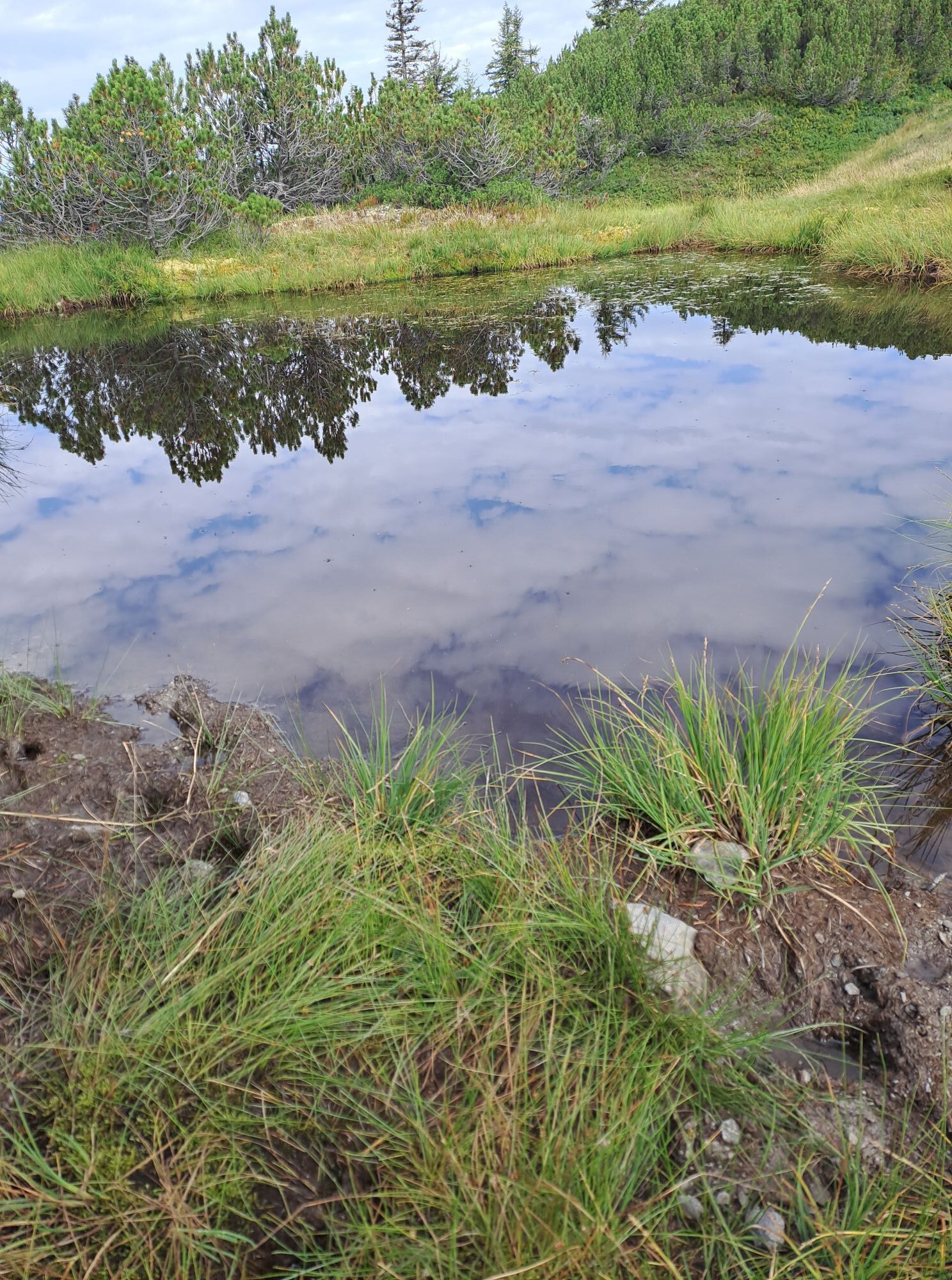
Swimming opportunity at the restaurant Seestüberl.
Places to eat: Zum Holzwurm, Waldgasthof, Hofalm, Jandlalm, Latschenhof, Frauenalm, Seestüberl

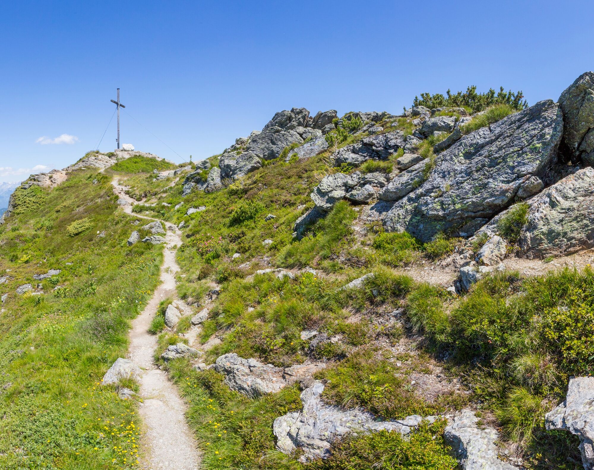
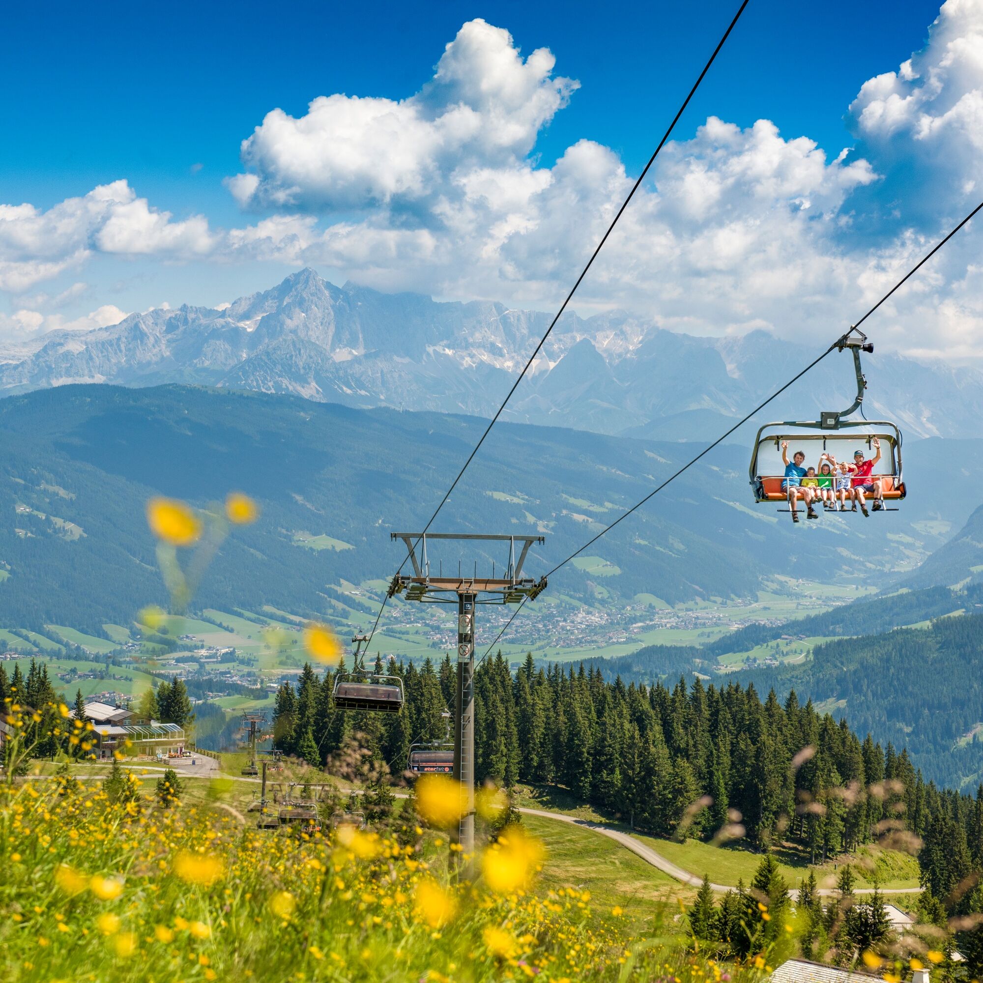
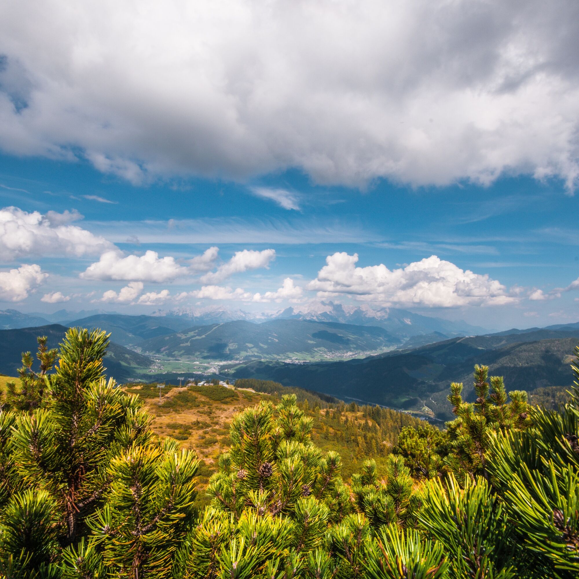
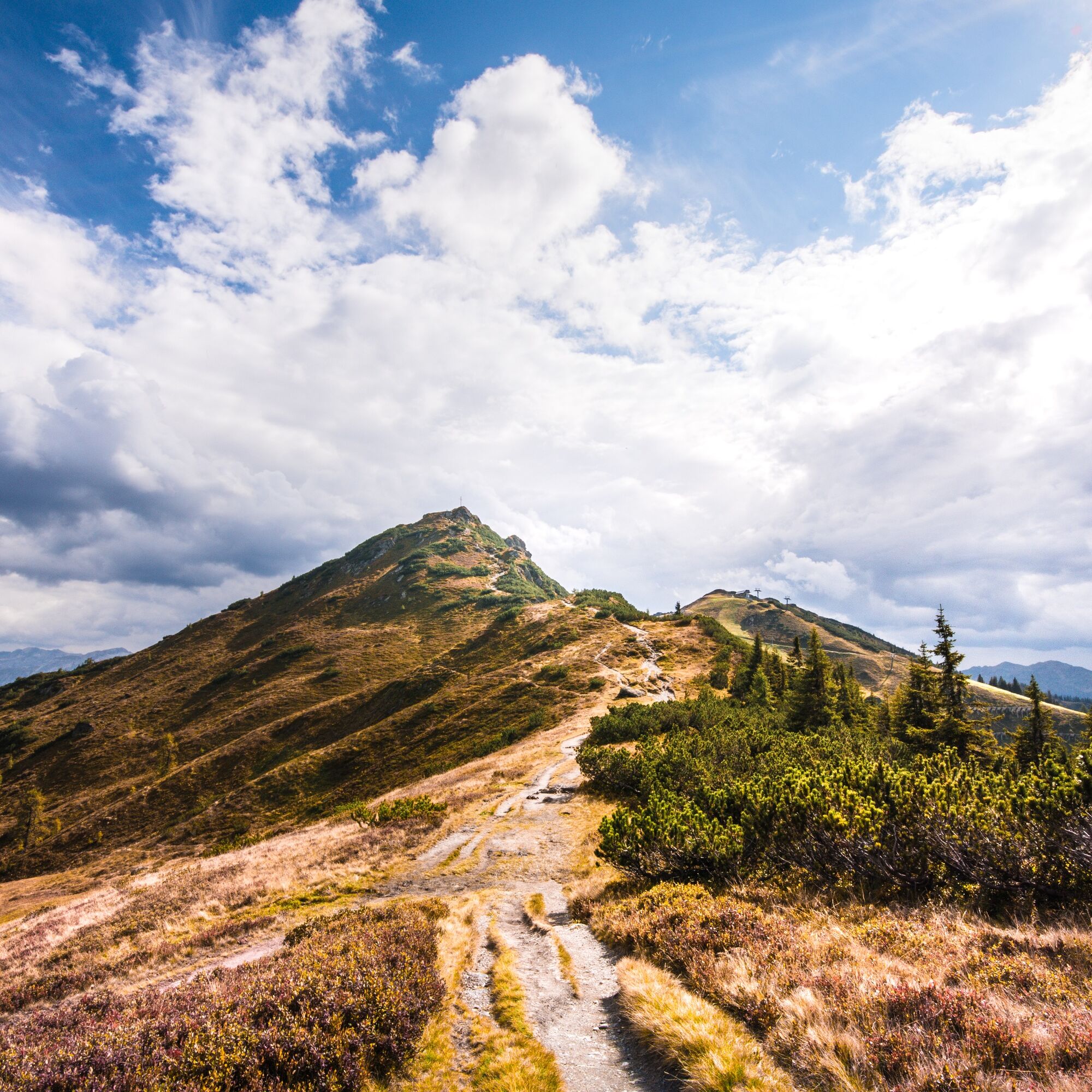
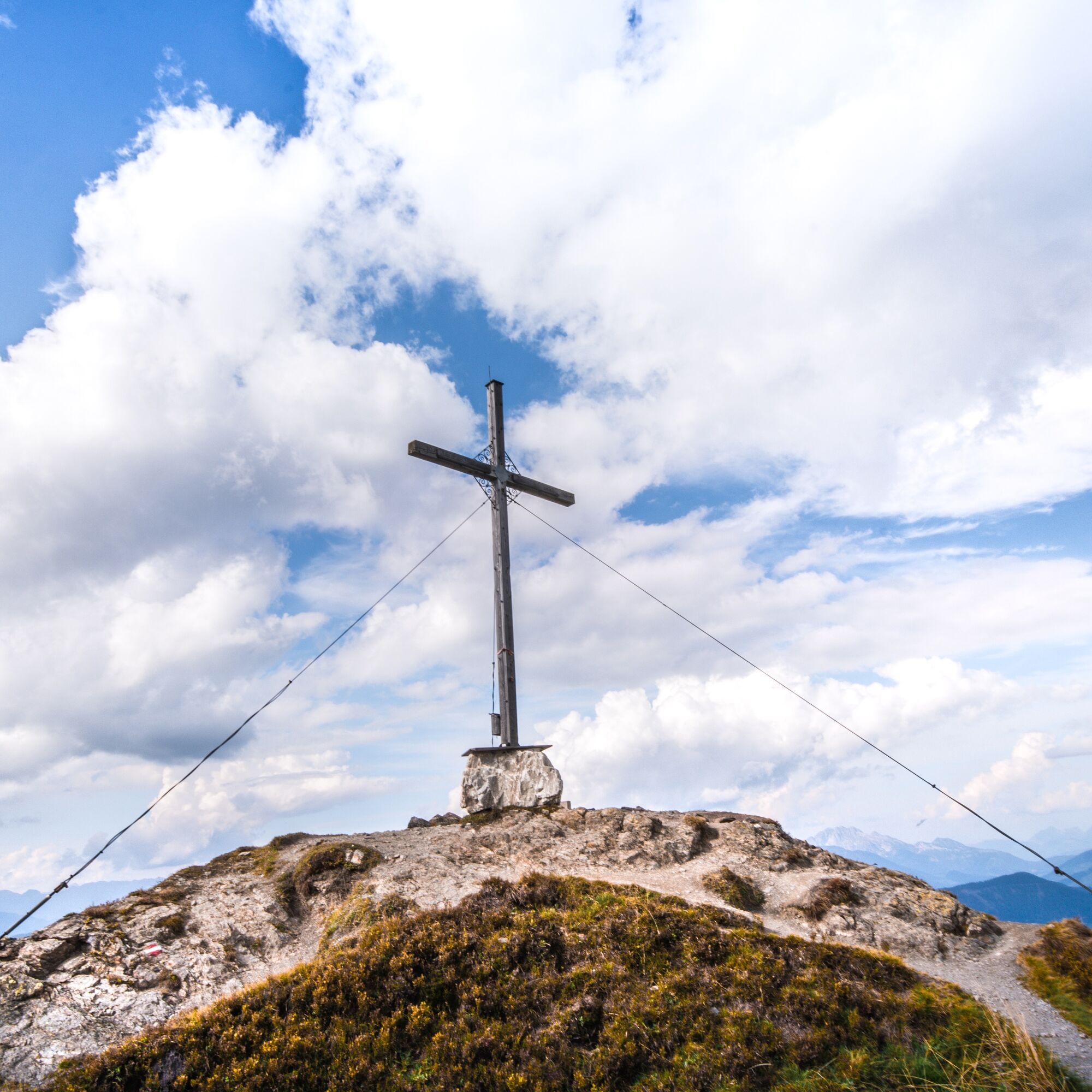
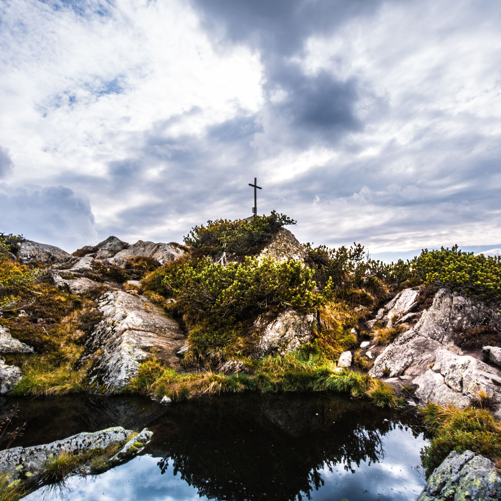
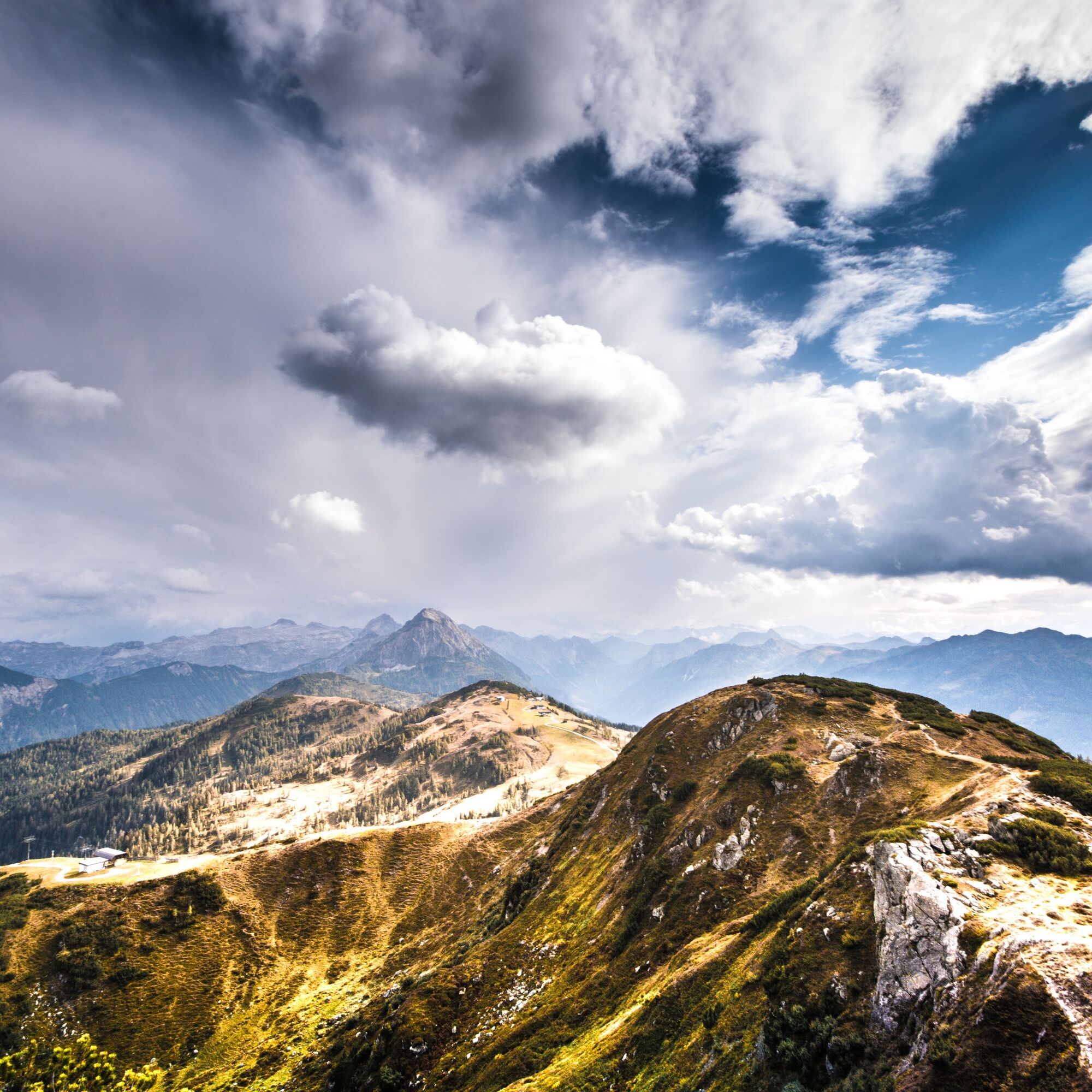
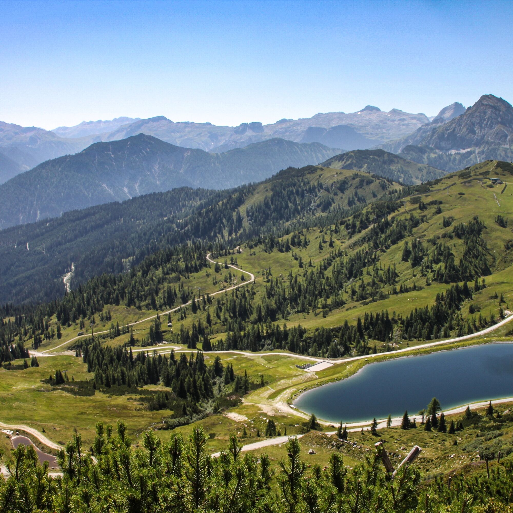
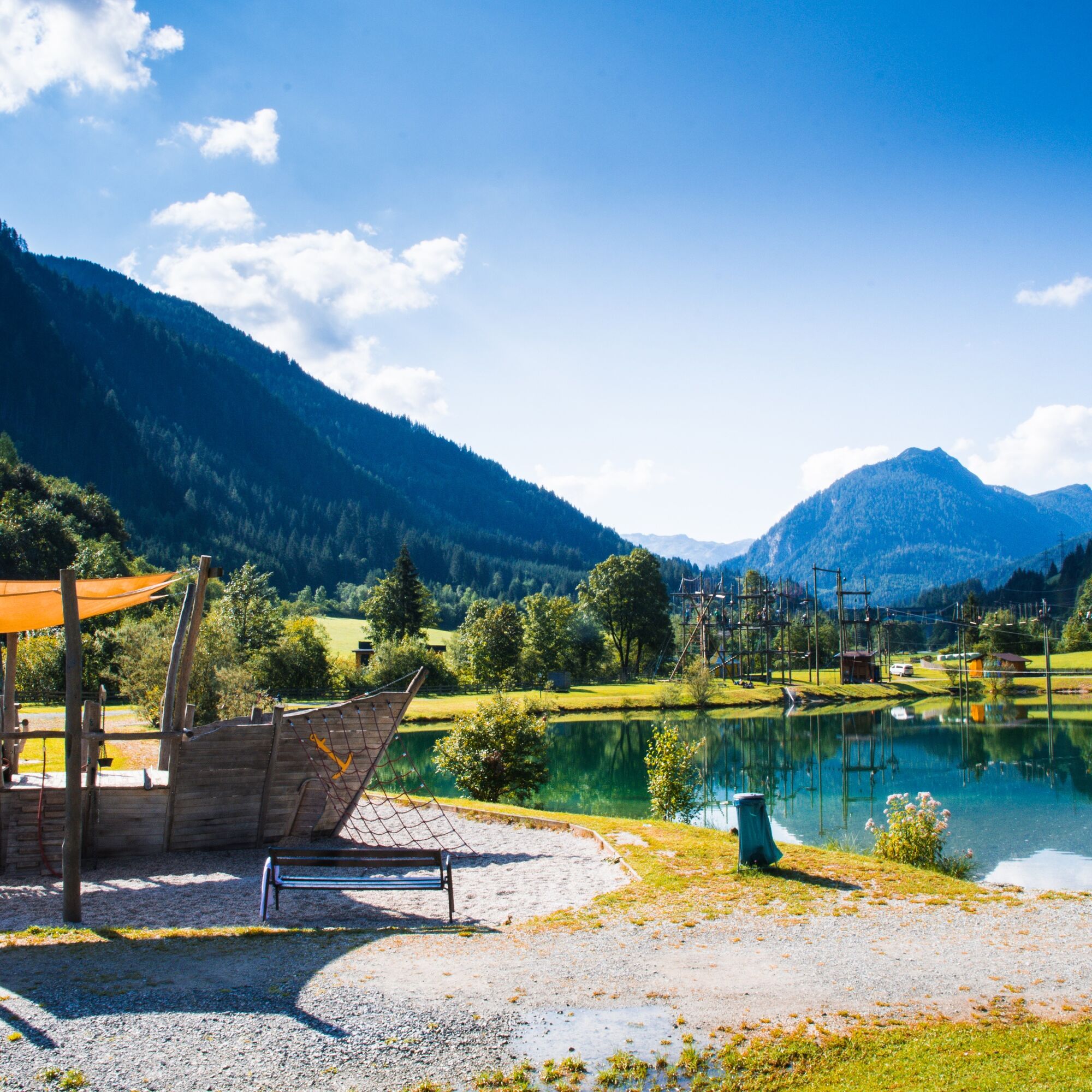

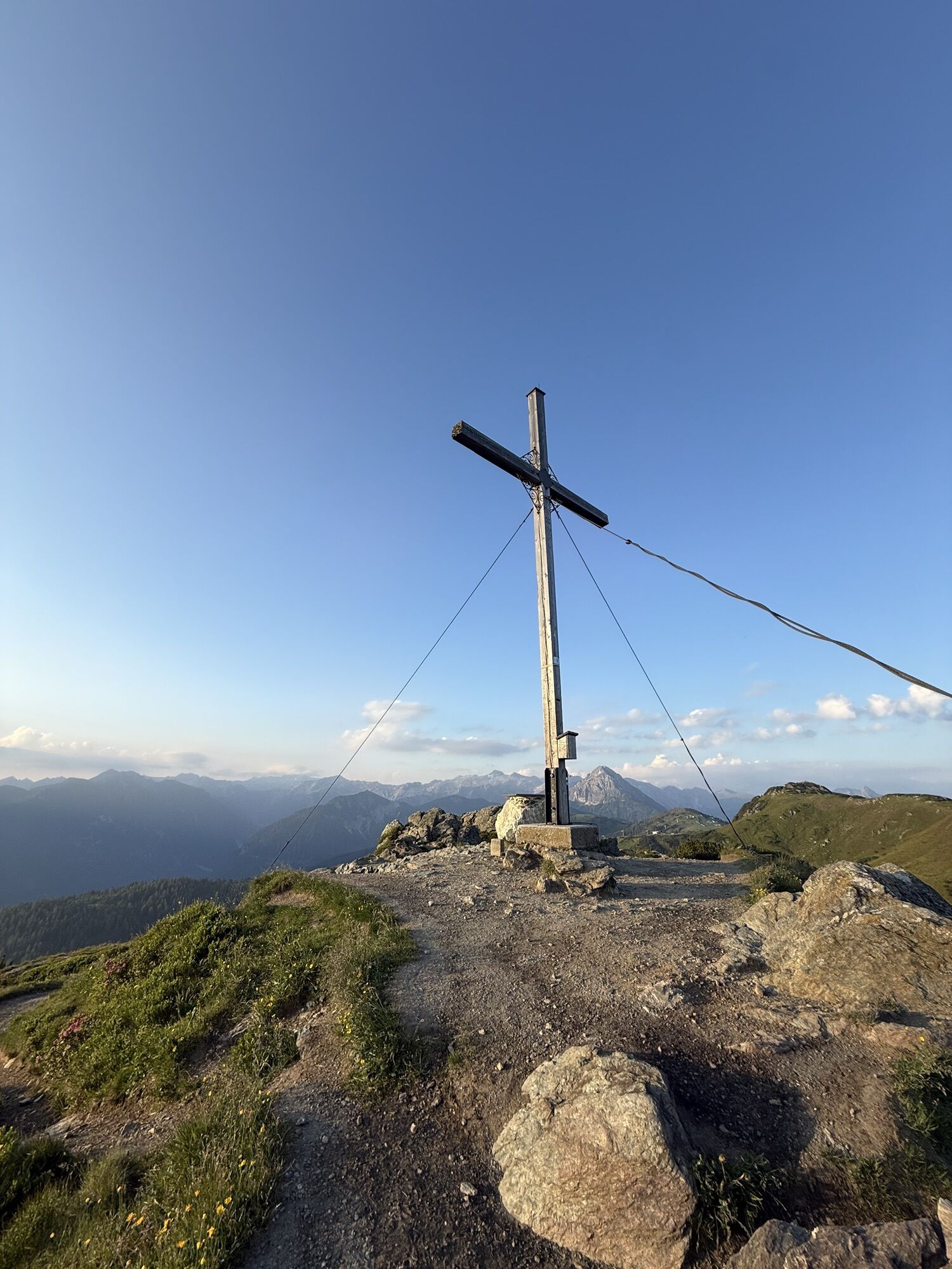
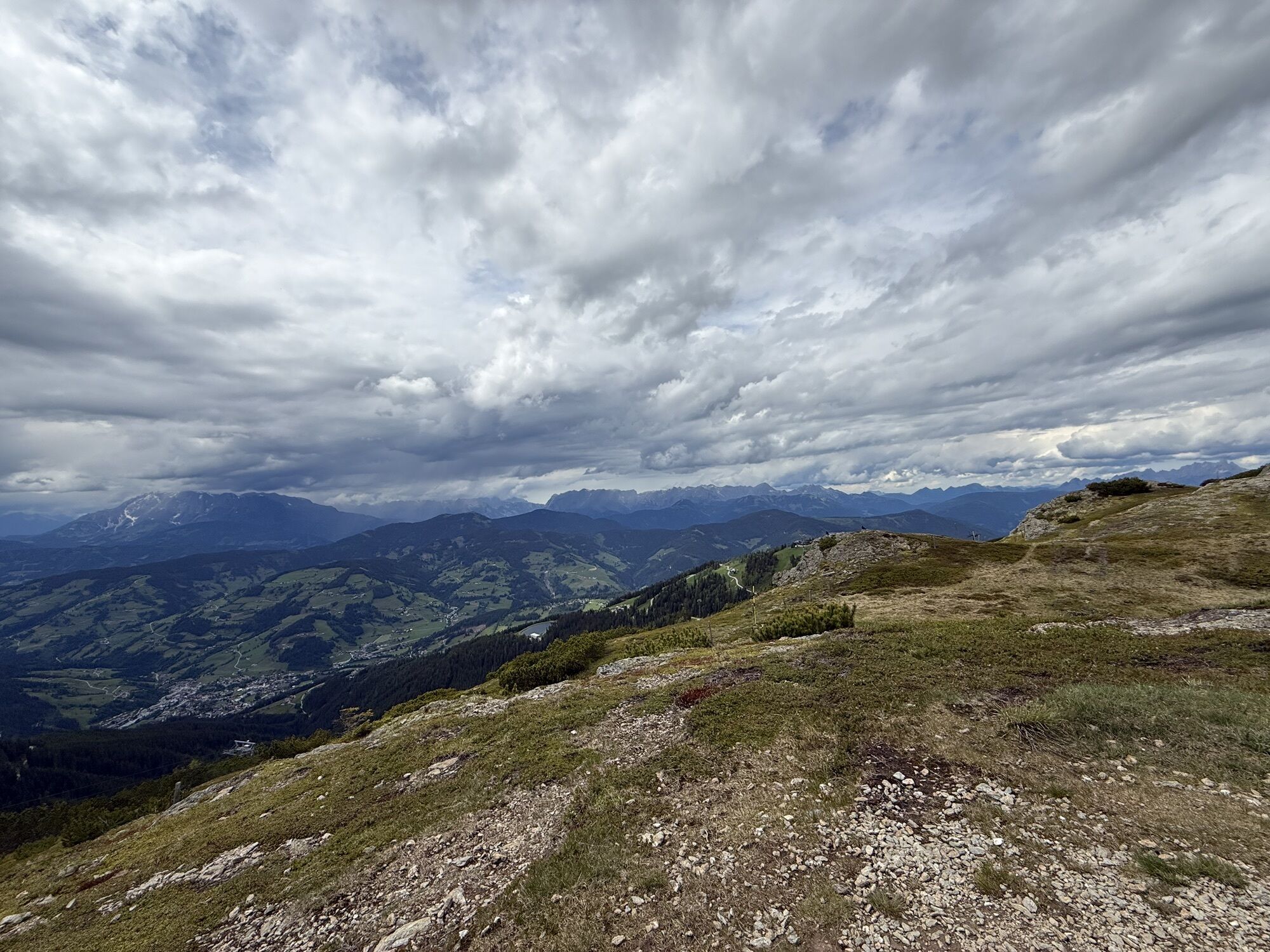
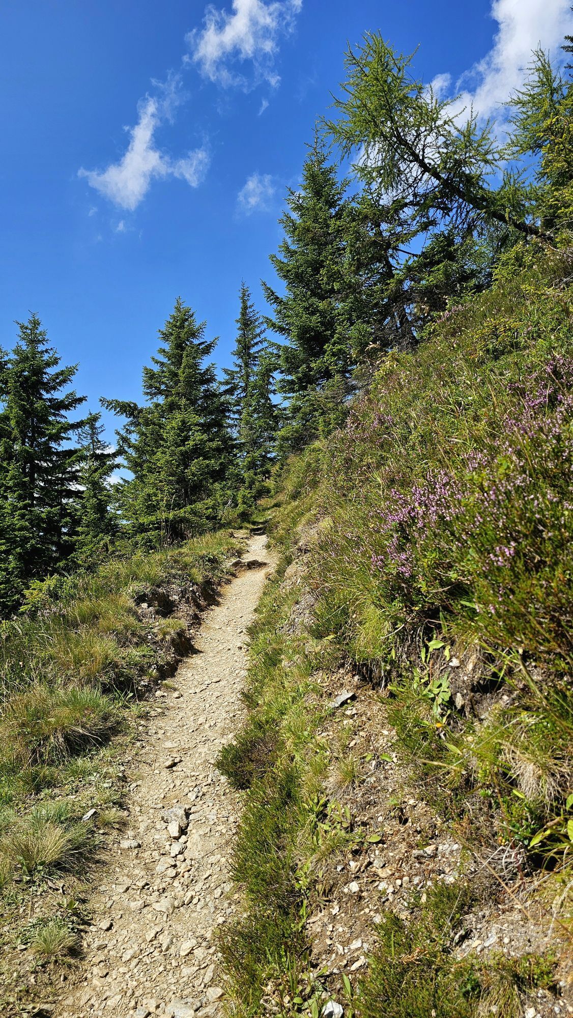
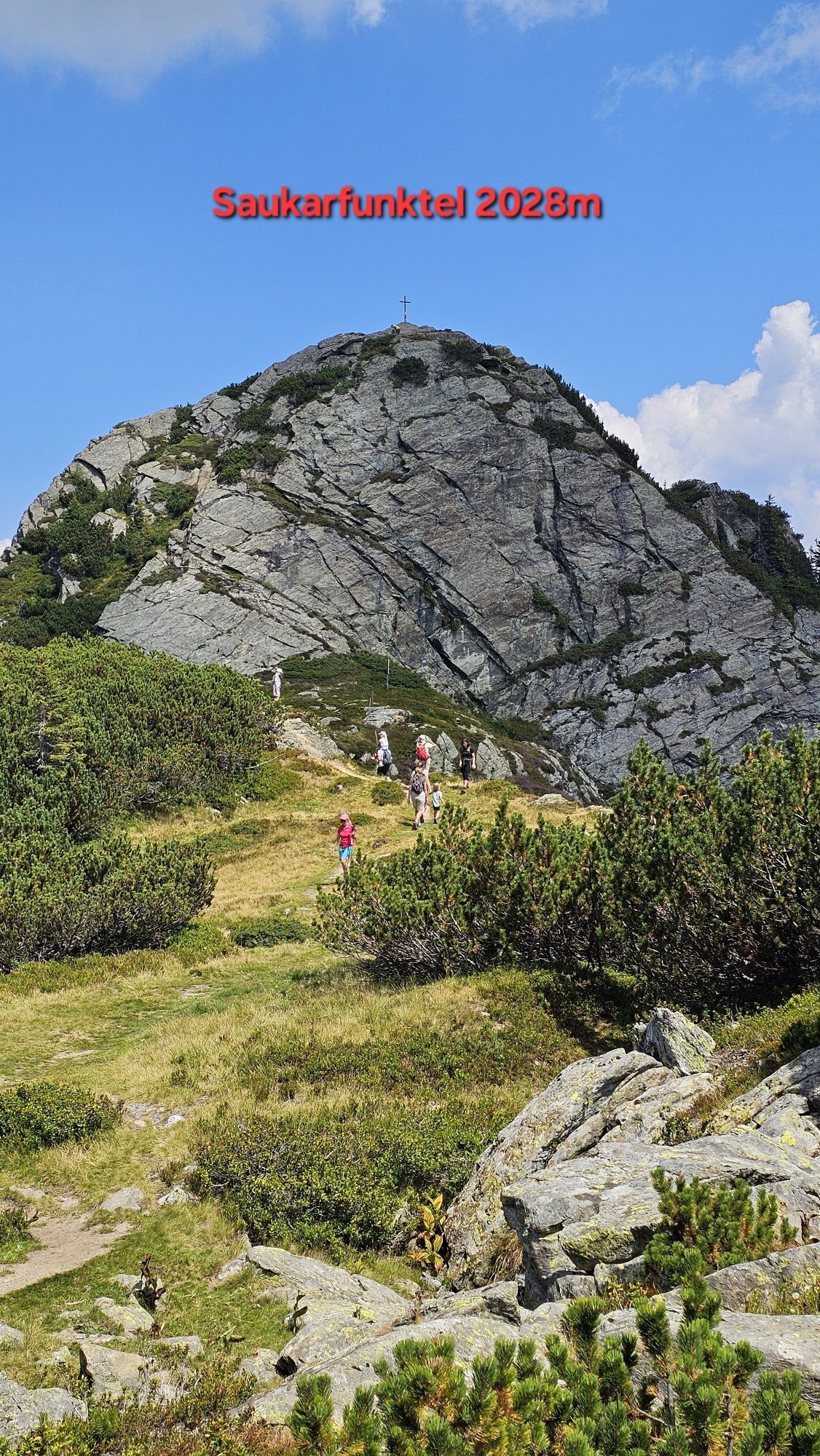
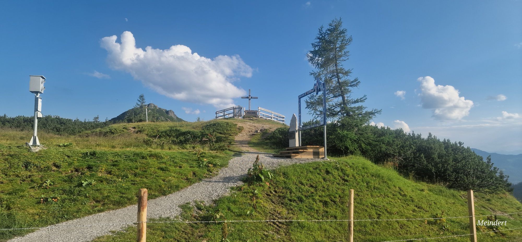
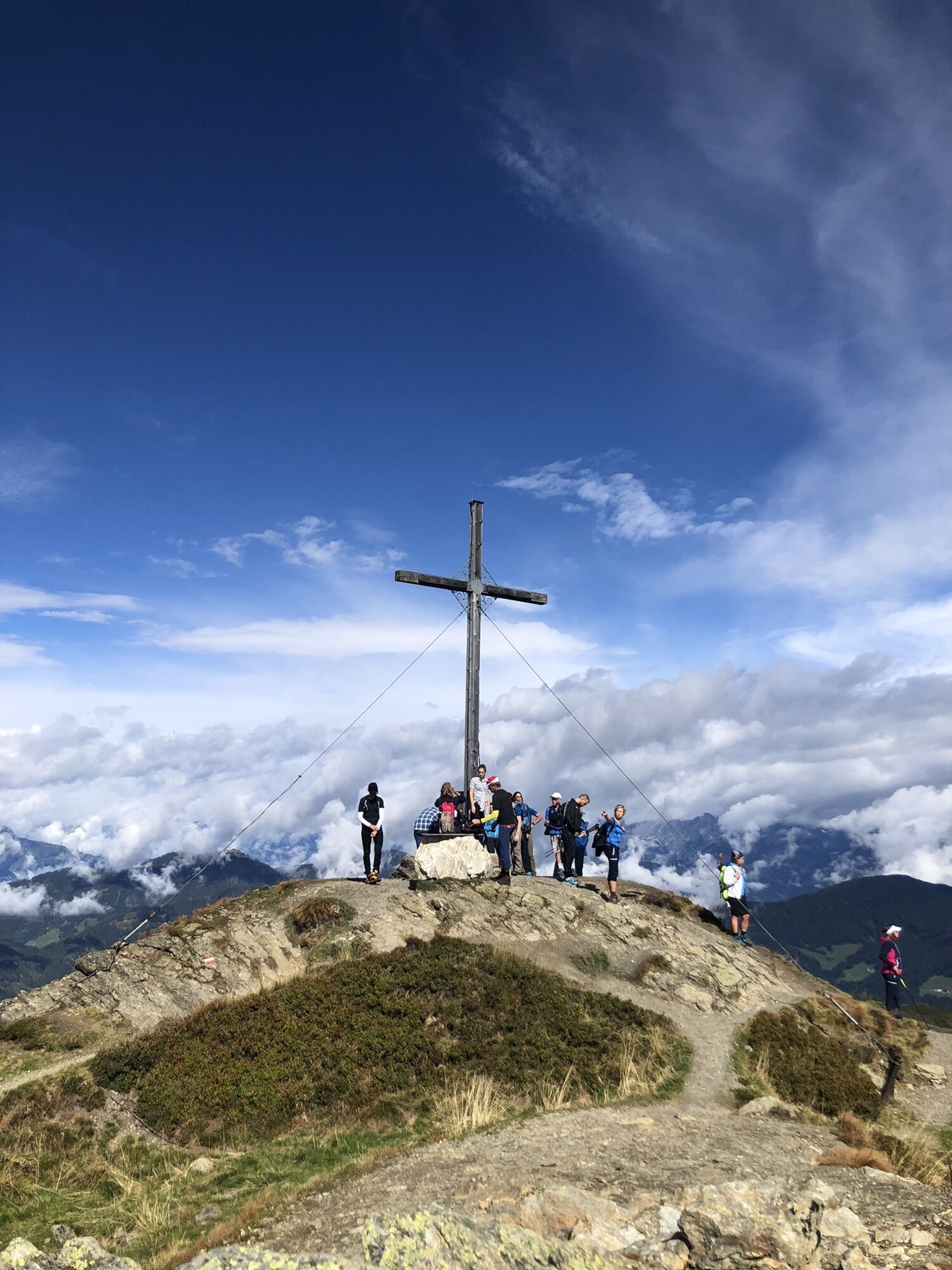
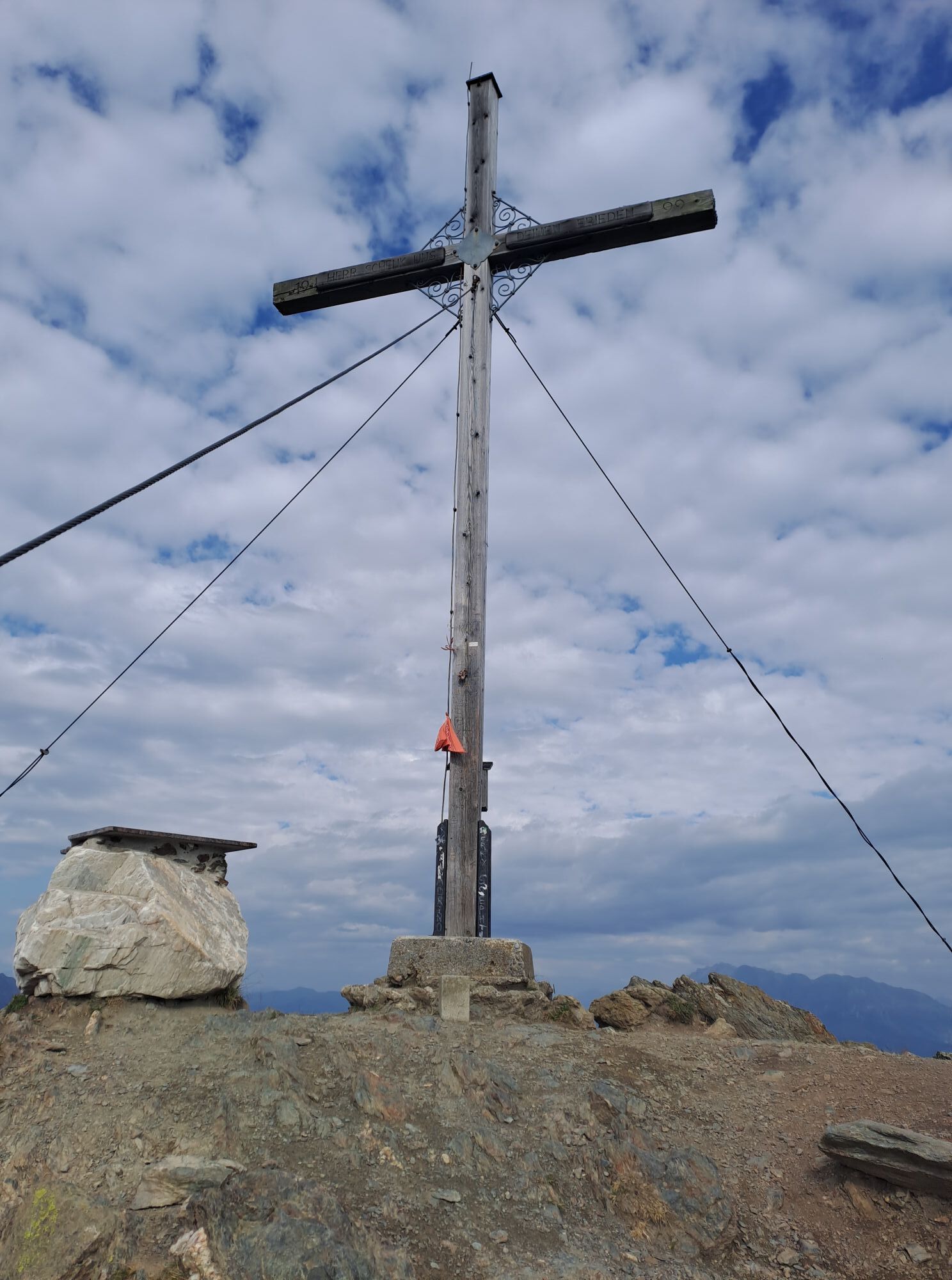
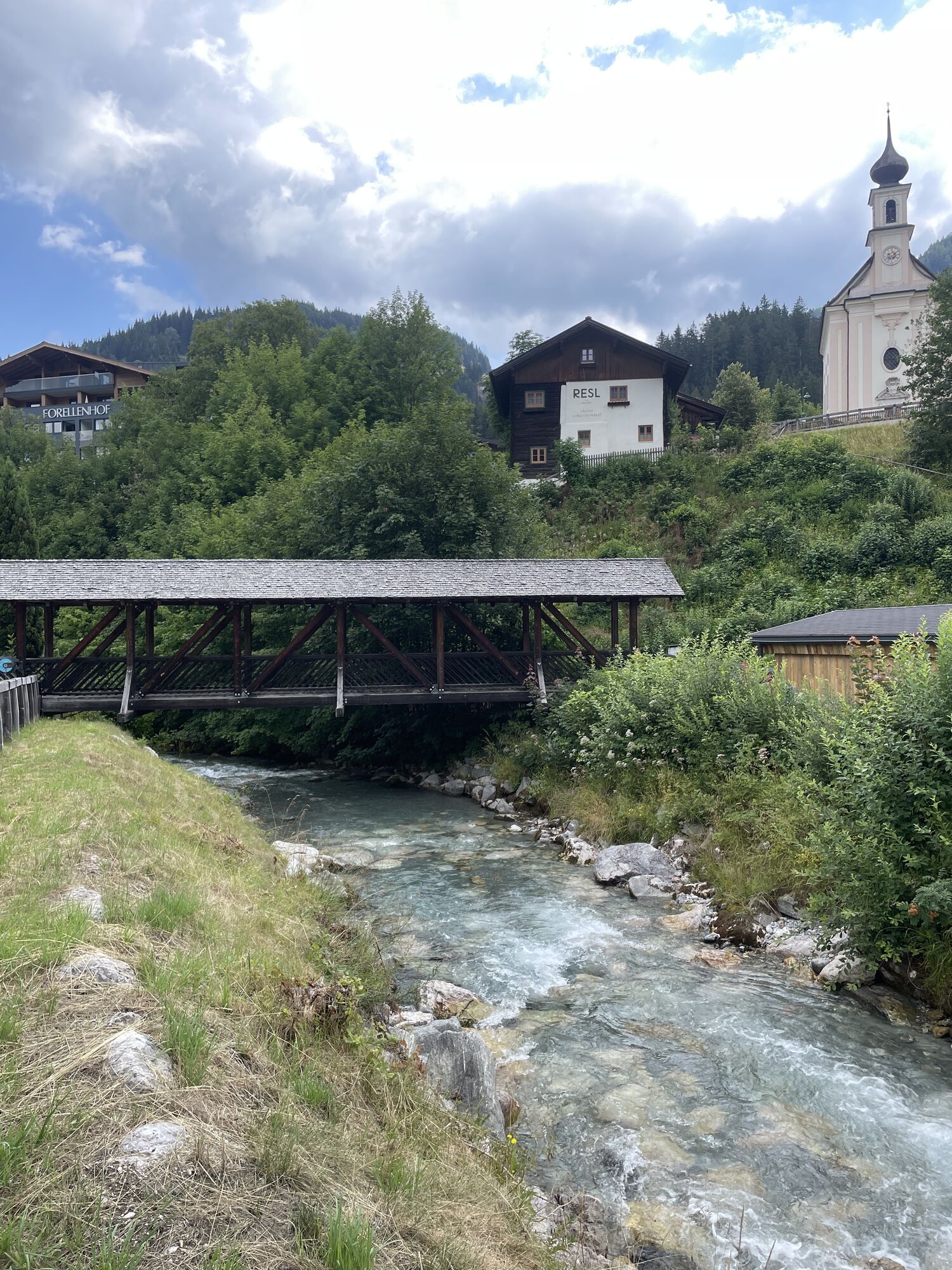
Flachau center - direction valley station starjet 1 - to Pfeiffei Alm - cross the meadow there and to hiking trail no. 42 - partly continue on trail no. 41 - above the mountain inn Latschenhof turn right onto hiking trail no. 41 - past the war memorial crosses and along the "Schneid" to Grießenkareck (1991 m) - continue over Saukarfunktel (2028 m) to Saukarkopf (2014 m) - junction Frauenalm no. 41 - continue down to the valley to Flachauwinkl no. 45 - from there on foot towards Flachau no. 1 or with the Sportwelt bus from the stop "Flachau Steinfeld".
During the operating times of the Flachau cable cars, it is possible to ascend to the mountain inn Latschenhof with the starjet 1 & 2 cable cars.
Da
Da
The basic equipment of a hiker includes:
sturdy, high footwear with grippy soles appropriate mountain clothing enough to drink snacks for in between sunglasses, if necessary sunscreen or rain protection mobile phone hiking poles first aid kitPlanning & preparation: A thorough route planning is recommended before every mountain hike. Information from locals such as mountain guides or hut hosts and hiking maps will help you with this.
Check weather forecast: A must-do before every hike. The weather in the mountains can change unexpectedly. Observe the current weather conditions at: www.zamg.ac.at.
Important tips:
do not overestimate yourself manage strength and endurance well assess surefootedness & freedom from dizziness do not dislodge stones turn back in time in case of weather changesMountain rescue number: The telephone number 140 is the emergency number for alpine accidents in Austria
to Flachau town center
From June to September, the Sportwelt bus is the ideal feeder and return service for your hiking tours throughout the region (Flachau, Wagrain-Kleinarl, St. Johann-Alpendorf, Radstadt, Altenmarkt-Zauchensee, Eben, Filzmoos, Obertauern, Großarl & Hüttschlag).
With the "Guest Mobility Ticket" you can use the Sportwelt bus free of charge. You receive the ticket from your host.
More information can be found at: https://www.flachau.com/de/info/vor-ort/sportweltbus.html
Other bus connections: www.salzburg-verkehr.at
Parking is available in the center of Flachau (BBF Center & Minigolf parking lot).
More about hiking in Flachau can be found at: https://www.flachau.com/sommer/wandern/
Local weather information: https://www.flachau.com/live/ or www.zamg.ac.at
You can obtain a hiking map with information about this route at the Flachau tourist information office.
Spletne kamere s turneje
-
Bergstation achterjet
-
Gamskogelhütte
-
Altenmarkt - Schartner
-
Kemahdhöhe
-
Chill House / Jib Park
-
Bergstation Bubble Shuttle - Powder Shuttle
-
Zauchensee
-
Lumberjack Shuttle
-
Zauchensee - Rosskopf
-
SUN HOUSE Flachauwinkl/Mittelstation
-
Wagrain / Hotel Wagrainerhof
-
Snow Space Salzburg - Flying Mozart
-
Snow Space Salzburg - woom bike area
-
Flying Mozart Bergstation
Pridobite vpogled
Vedno v živo na mestu z več kot 9.500 spletnimi kamerami. bergfex Kot uporabnik Pro si lahko zdaj ogledate ustrezne spletne kamere za številne izlete v aplikaciji izleti iz. Tako si lahko neposredno ogledate trenutne razmere.
Priljubljeni izleti v okolici
-
5.0
Hüttschlag: Karteistörl - Tappenkarsee - Draugsteintörl - Draugsteinalmen
srednjaPohodništvo 13.5 km -
4.9
4-Gipfel-Tour
srednjaGorski pohodništvo 6.40 km -
4.2
Tappenkarsee Kleinarl
srednjaPohodništvo 9.11 km -
4.9
Großarl: Alpine pasture circuit in Ellmautal
srednjaPohodništvo 9.69 km -
5.0
Großarl: Heukareck
srednjaPohodništvo 12.5 km -
4.6
Großarl: Mooslehenalm – Niggeltalalm – Viehhausalm
srednjaPohodništvo 5.44 km -
4.6
Ski route Lackenkogel
srednjaSmučarska tura 7.82 km -
4.8
Obertauern to the Johannes Waterfall
srednjaPohodništvo 9.39 km -
4.7
Großarl: Saukaralm - Saukarkopf - Gerstreitalm
srednjaPohodništvo 9.39 km -
4.8
Großarl: Bichlalm
srednjaMountainbike 18.9 km

Pohodništvo in sledenje


Ne zamudite ponudb in navdiha za naslednje počitnice
Vaš e-poštni naslov je bil dodan na poštni seznam.





