


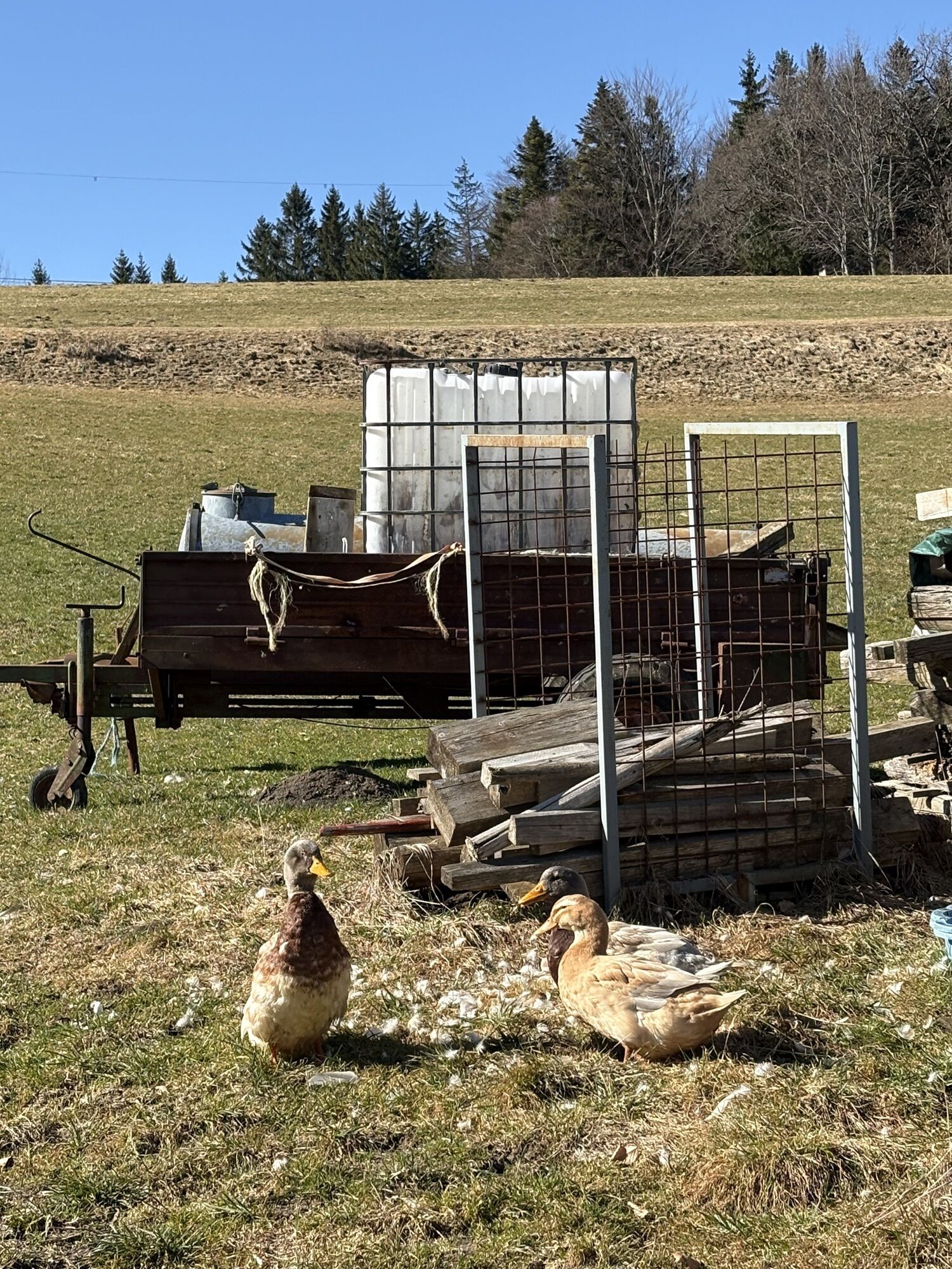
Nocksteinschlucht circular hiking trail in Koppl
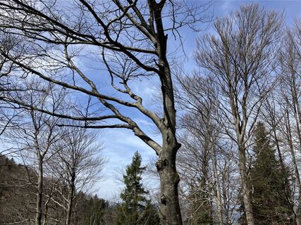
Fotografije naših uporabnikov
 © Meinrad FögerUstvarjeno na 09.04.2026
 © Volker WortmeyerUstvarjeno na 05.03.2026
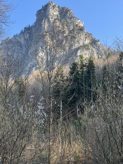
 © DorgerryUstvarjeno na 02.03.2026
 © RenateUstvarjeno na 22.03.2025
 © Bettina ConneusUstvarjeno na 19.03.2025
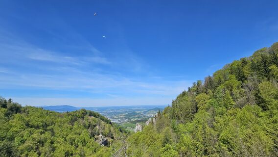
 © Th Was (wath76)Ustvarjeno na 03.05.2026
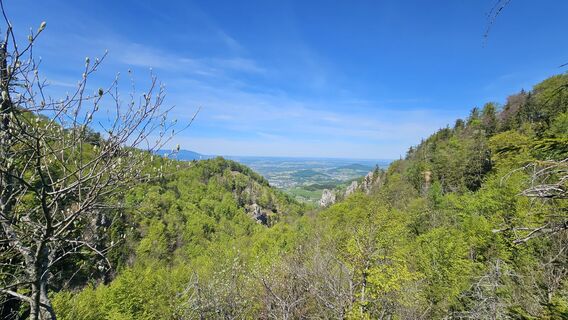 © Th Was (wath76)Ustvarjeno na 03.05.2026
 © Th Was (wath76)Ustvarjeno na 03.05.2026
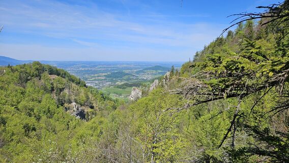 © Th Was (wath76)Ustvarjeno na 03.05.2026
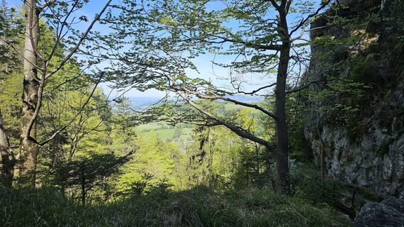 © Th Was (wath76)Ustvarjeno na 03.05.2026
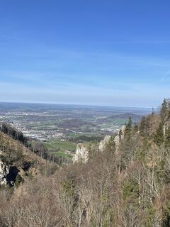
 © Simon ZelderUstvarjeno na 20.03.2024

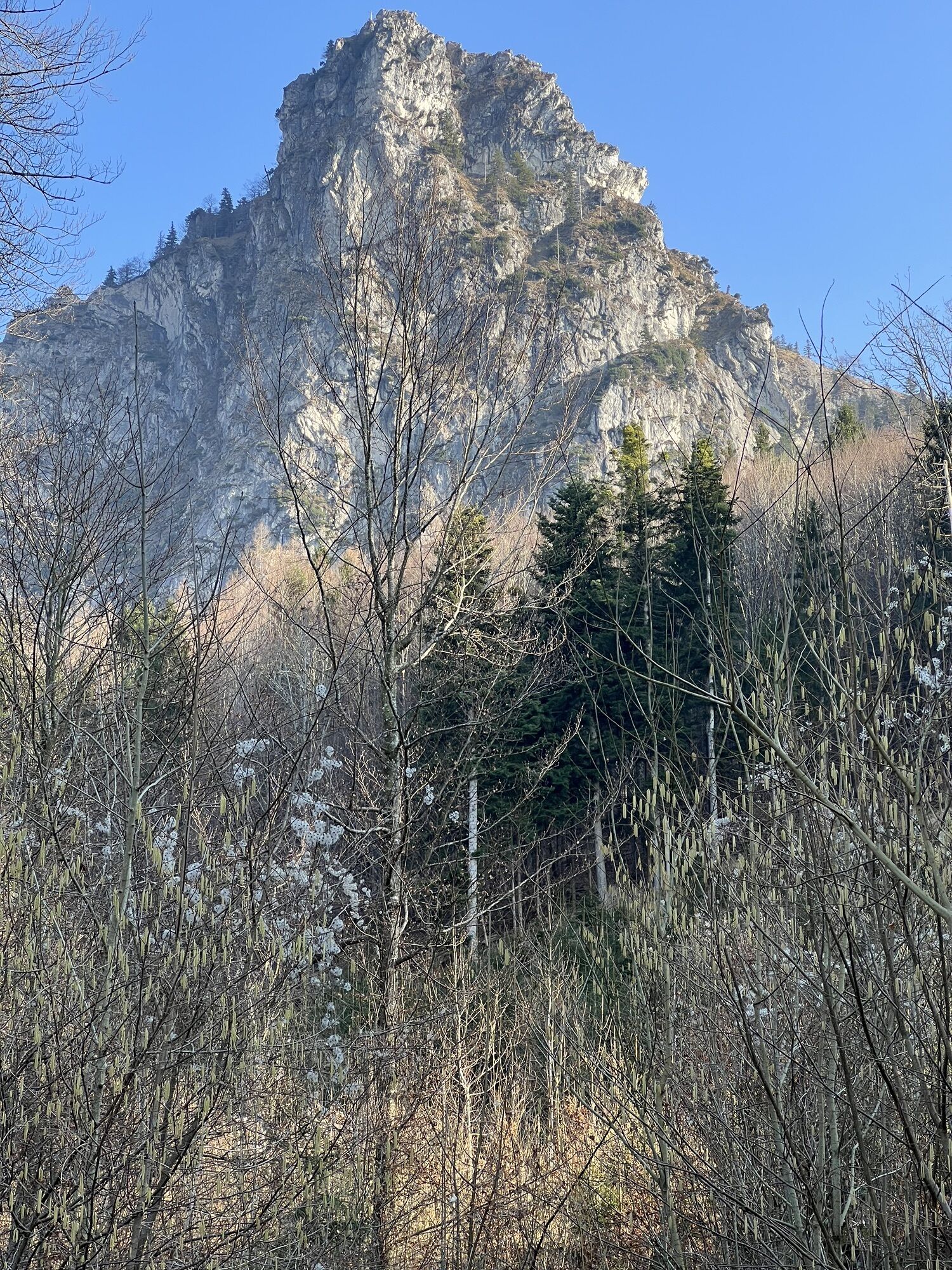
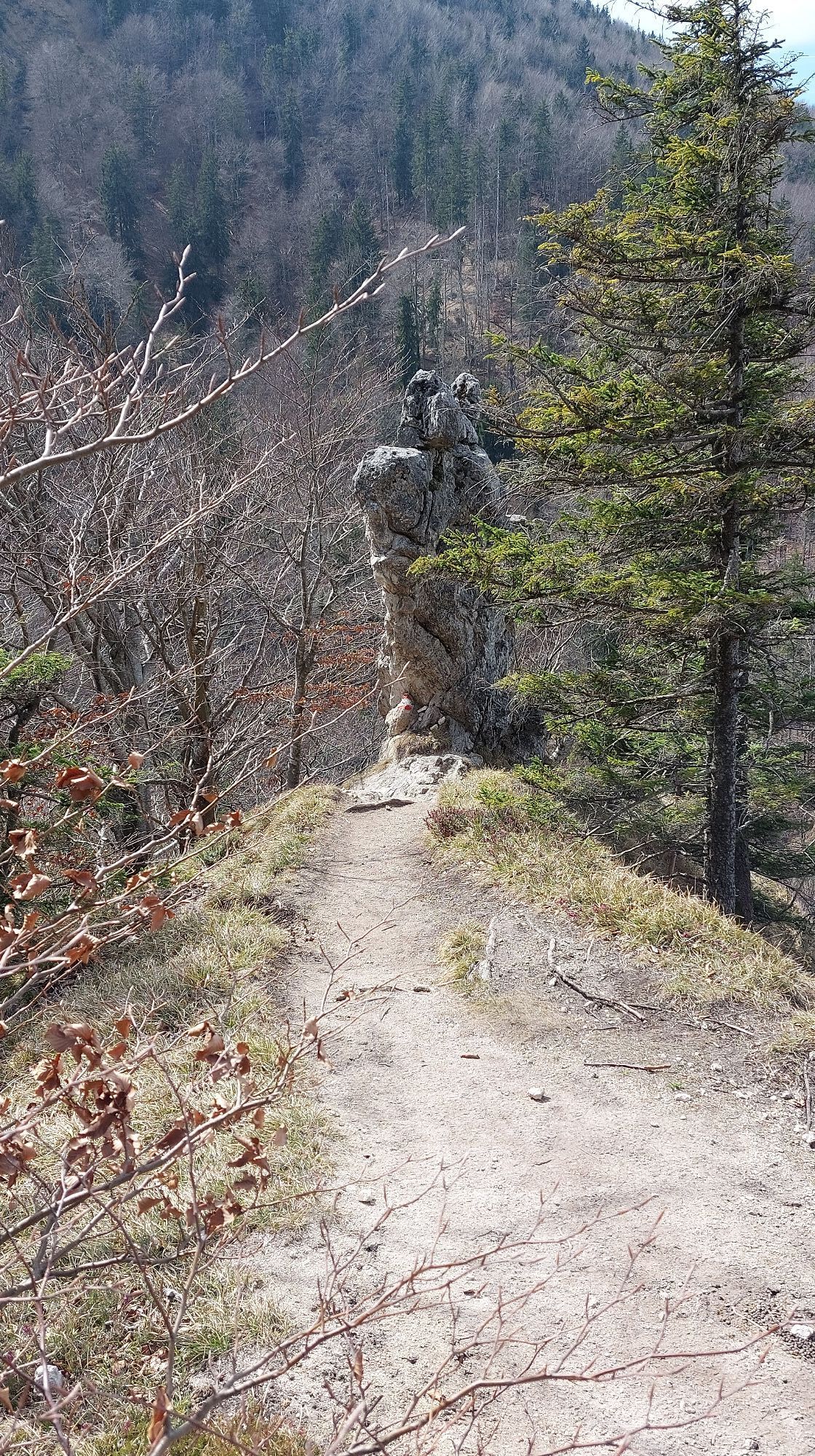


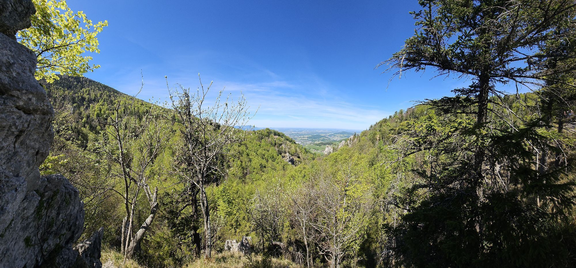
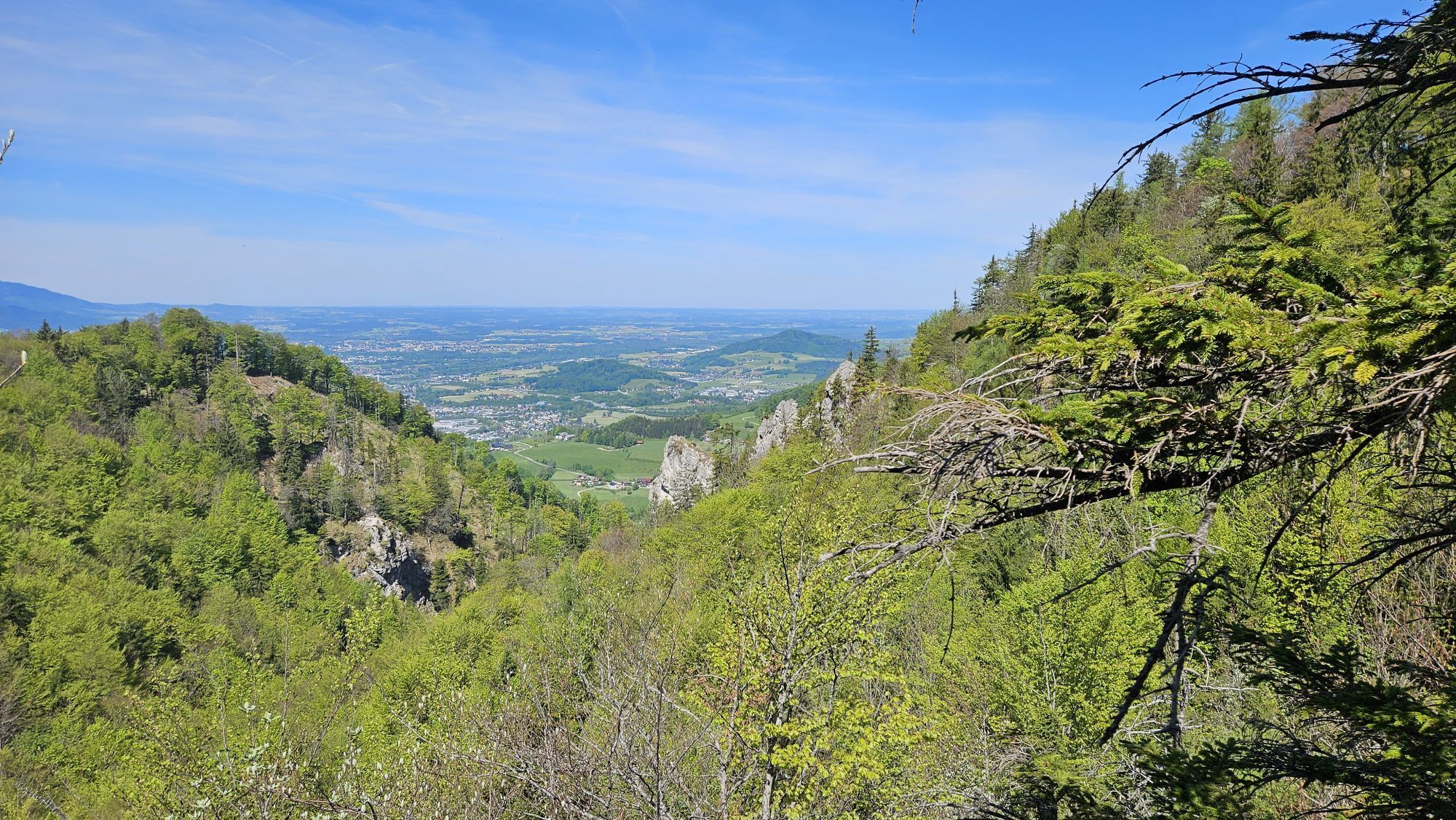
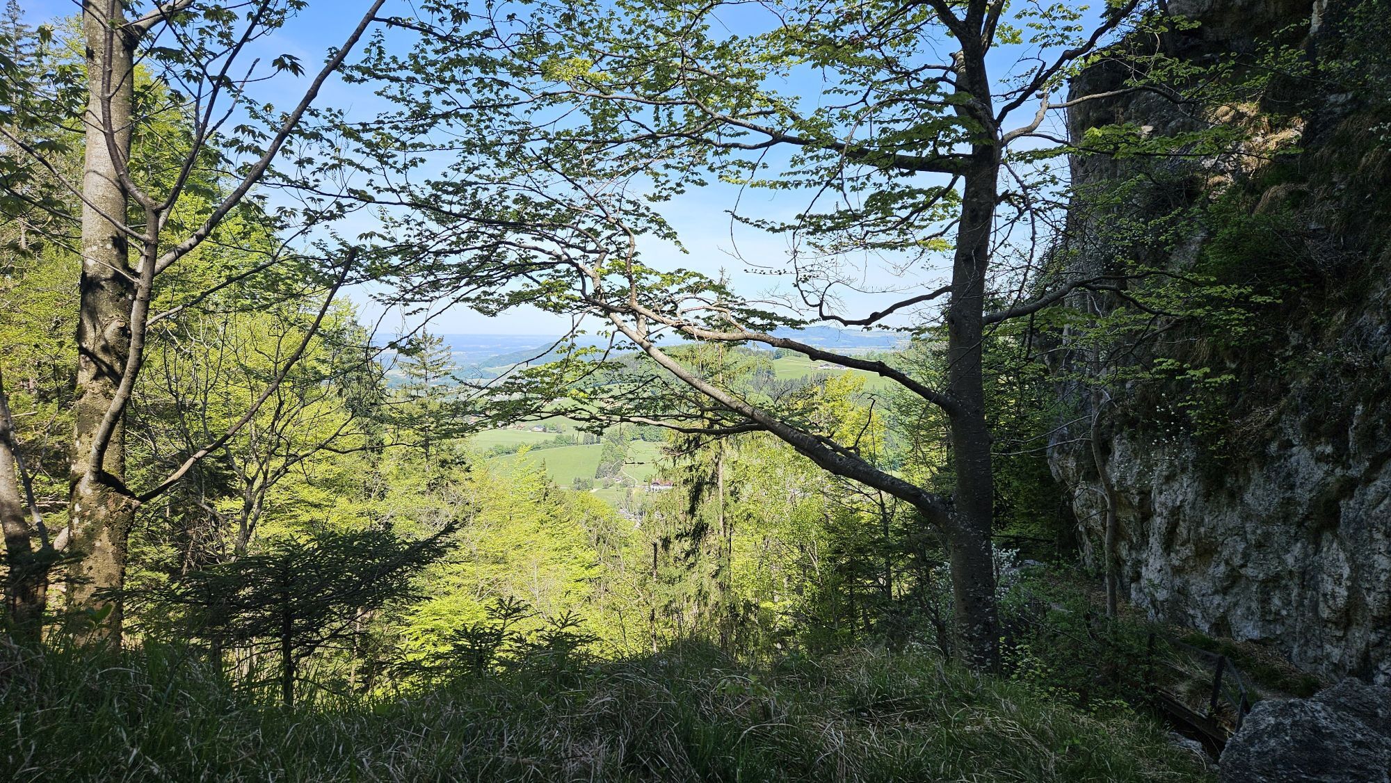
A scenically beautiful hike as an alternative to the ascent of the Nockstein or Gaisberg. The moderate hike around the distinctive rock formation takes just under 3.5 hours.
We start our route in the village center of Koppl and follow the signposted trail no. 72 on Nocksteinstraße in a clockwise direction. We always keep to the left on this road. Past a chapel, we reach a parking lot and a crossing. Our path continues straight uphill into the forest. Following the trail markings, the path becomes increasingly steeper. At the highest point, we now encounter the Arnoweg. This leads further down into the Nocksteinschlucht. When we reach the creek, we keep right in the ditch. This path later joins a forest road leading us to Guggenthal. Past the quarry, we walk until the tennis courts in front of the Gasthof Riedl. Just before the inn, the path branches right back into the forest towards Koppl. This cart track later crosses a field to a farm. After the farm, we turn left, immediately right again, and once more left. This way, we return directly to our starting point in Koppl.
Sturdy footwear and possibly hiking poles, otherwise no special equipment required.
Trail condition
In the first part a paved road and then a path.
Leash obligation for dogs
Throughout the entire municipality of Koppl, a regulation is in force that governs the dog leash obligation. This also applies on all hiking trails.
Arrival via A1 West Motorway from Vienna - exit Thalgau
On the A1 motorway from Vienna / Linz, take the Thalgau exit. Follow the country road towards Hof bei Salzburg. At the first roundabout, take the first exit onto Wolfgangsee federal road (B 158) and follow it to the junction to Koppl. After 1 km you reach the village center of Koppl.
Arrival via A1 West Motorway from Villach or Munich - exit Eugendorf
Drive on the motorway (A10 or A8) towards Salzburg, continue on the Salzburg bypass (A1) towards Vienna - exit at Eugendorf. Follow the country road towards Thalgau - turn left at the district Reitberg and drive to Koppl via Schwaighofenstraße.
By bus
Koppl is very well accessible by the public lines of the Salzburg Transport Association from Salzburg.
Salzburg Transport Association, line 150
By train
Information about train connections can be found at www.oebb.at or www.bahn.de
By plane
Salzburg Airport W.A. Mozart is located in the immediate vicinity of the city of Salzburg. Bus lines 2 or 27 take you to the main train station, where you can change to bus no. 150.
There are free parking spaces at and opposite the community center
Priljubljeni izleti v okolici
- 4.8
Fuschl: Ruine Wartenfels - Schober - Frauenkopf
srednjaPohodništvo 7.62 km - 4.2
Fuschlseewanderung
svetlobaPohodništvo 11 km - 4.1
Untersberg, Toni-Lenz-Hütte
Pohodništvo 4.86 km - 4.4
From Koppl to the Gaisberg summit
srednjaPohodništvo 9.86 km - 4.8
Schober -Aussichtsplattform mit Seensicht
težkoPohodništvo 2.65 km - 4.7
+++ Schober, Österreich
srednjaPohodništvo 2.60 km - 4.2
Idyllic Hintersee Rund
svetlobaPohodništvo 5.10 km - 4.8
Great and Small Barmstein, the landmarks of Hallein
težkoPohodništvo 6.58 km - 4.7
Reitsteig - Dopplersteig Runde_Untersberg
srednjaVisokogorska tura 9.89 km - 4.3
Hike to the Kleiner Barmstein via the Thürndl ruin
srednjaPohodništvo 4.20 km
Pohodništvo in sledenje


Ne zamudite ponudb in navdiha za naslednje počitnice
Vaš e-poštni naslov je bil dodan na poštni seznam.