







Hike to the Kleiner Barmstein via the Thürndl ruin


Hallein brings it together.
The slogan of the small medieval town on the border with Bavaria hits the nail on the head in this case. On this hike, we cross the national borders more than once, pass lush...
Hallein brings it together.
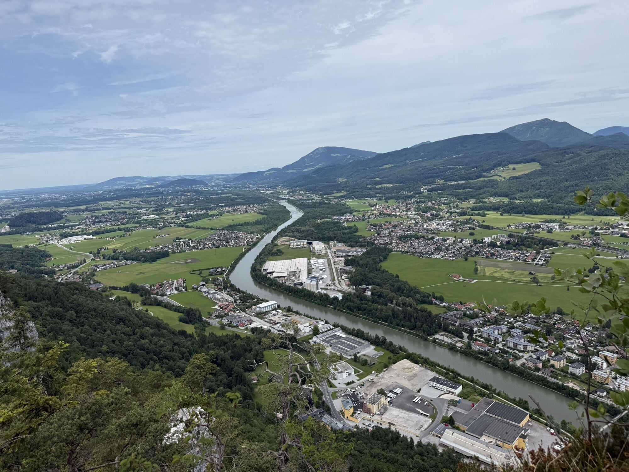
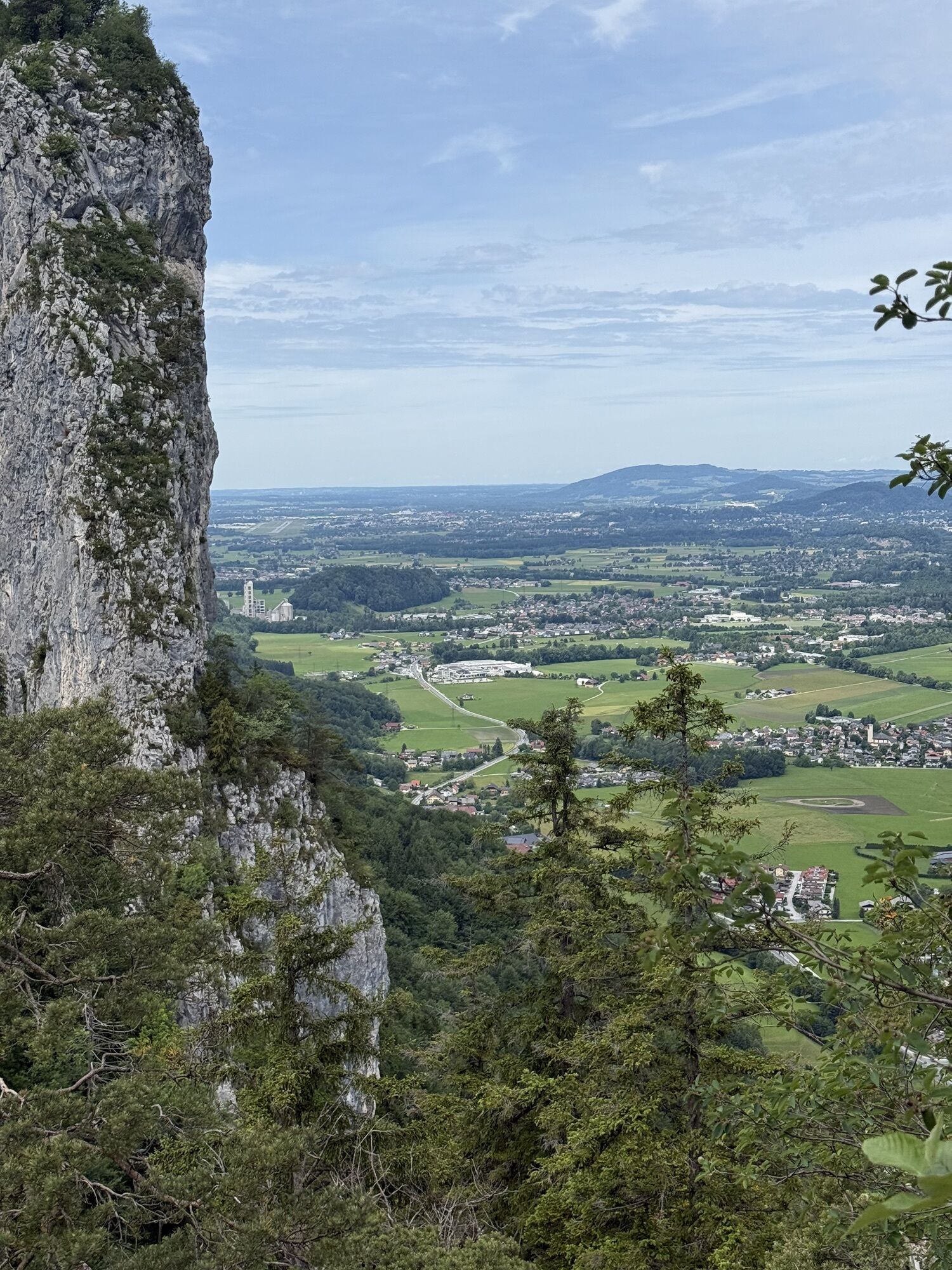
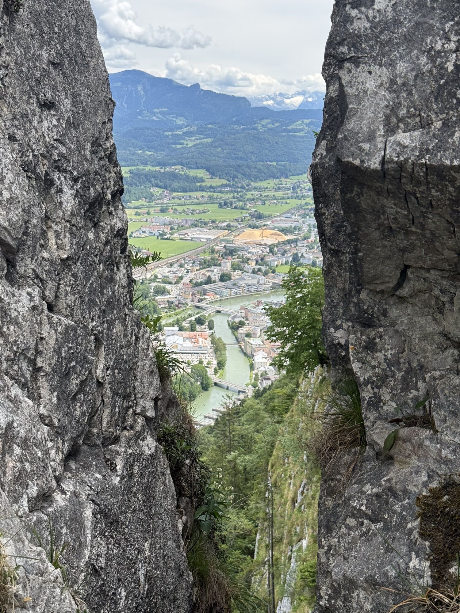
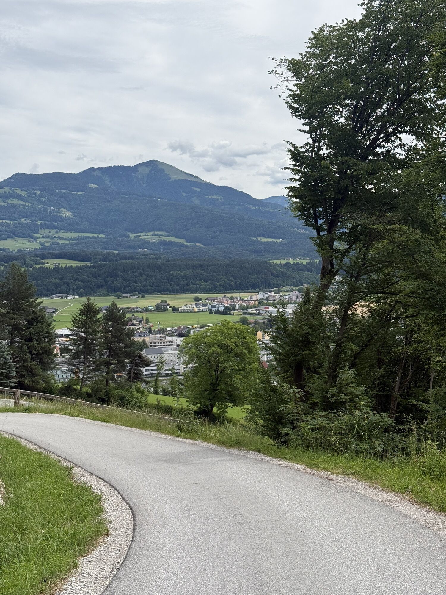
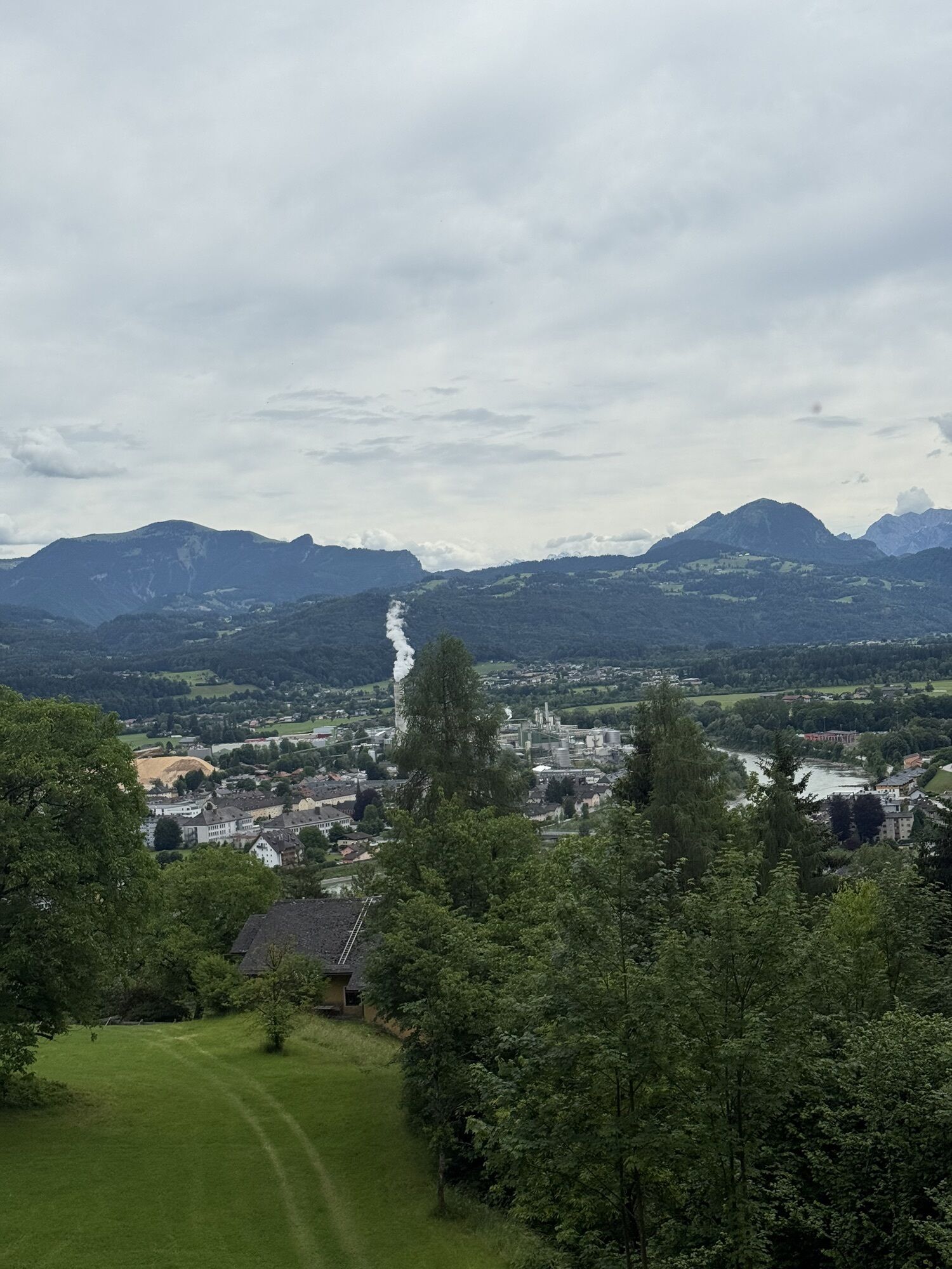
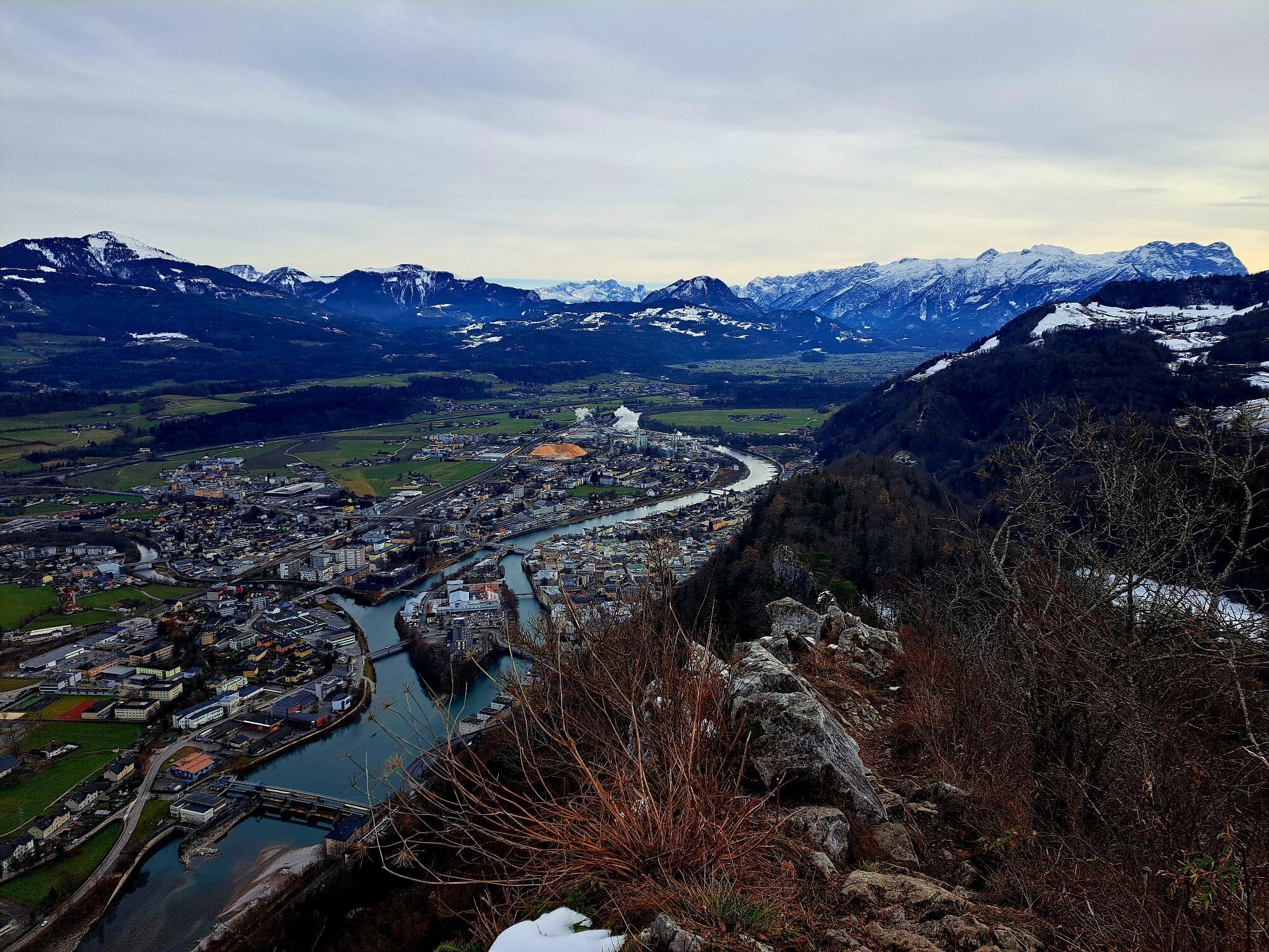
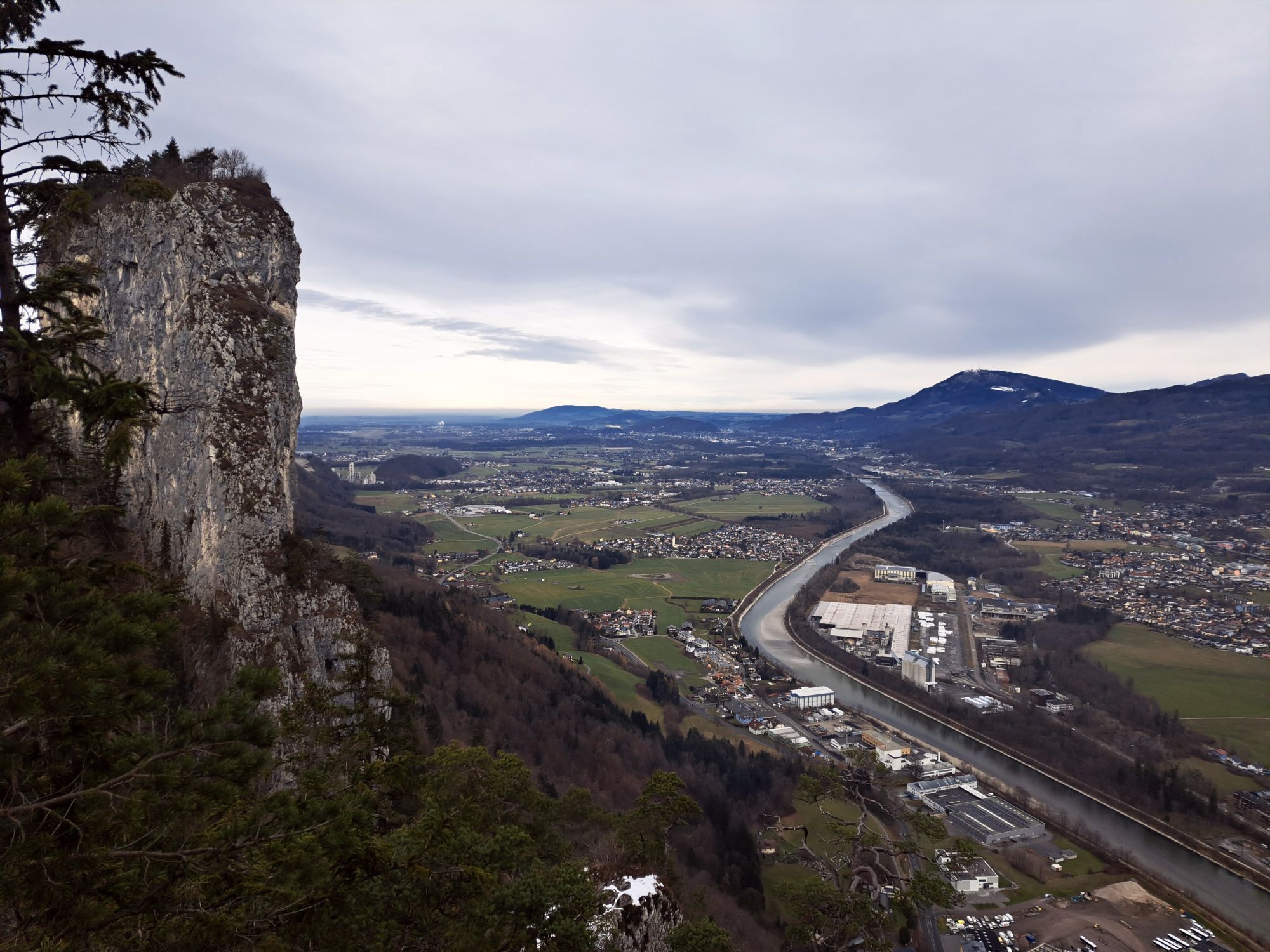
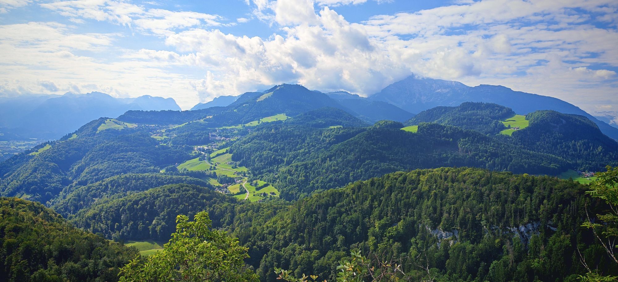
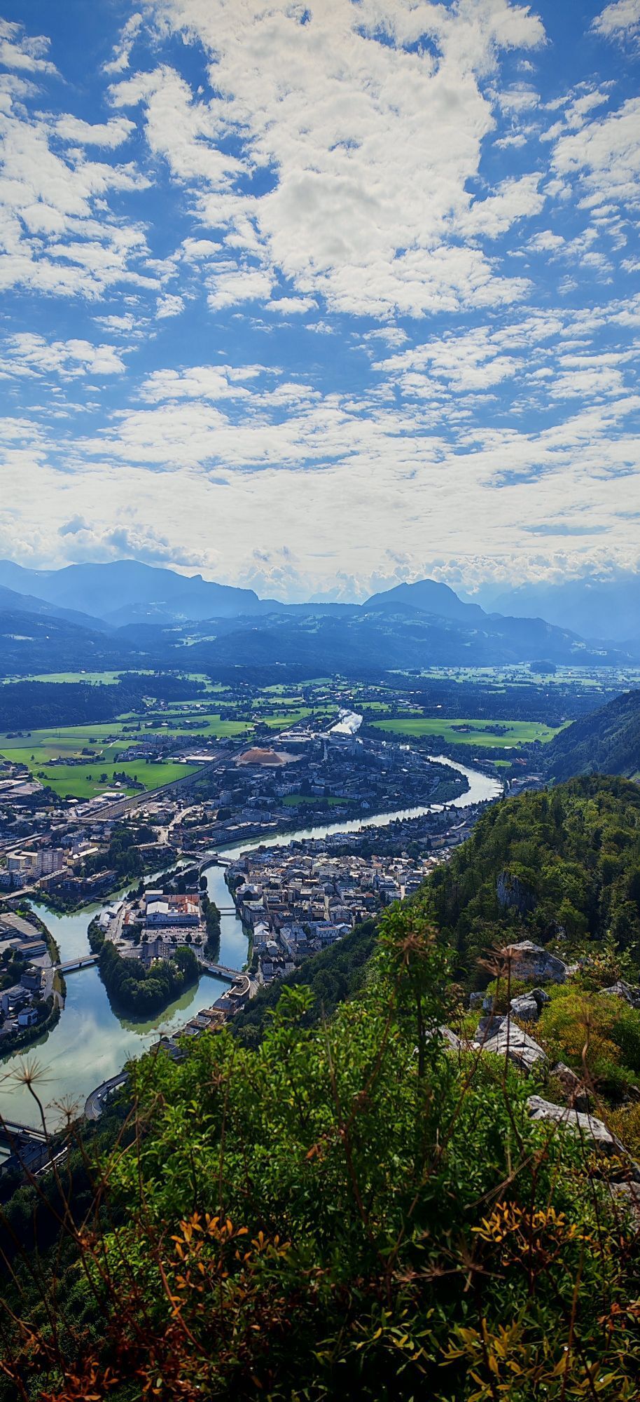
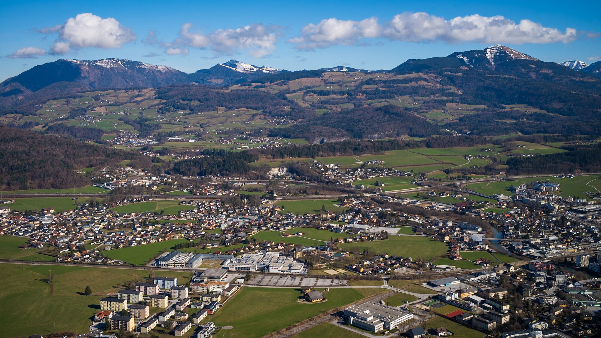
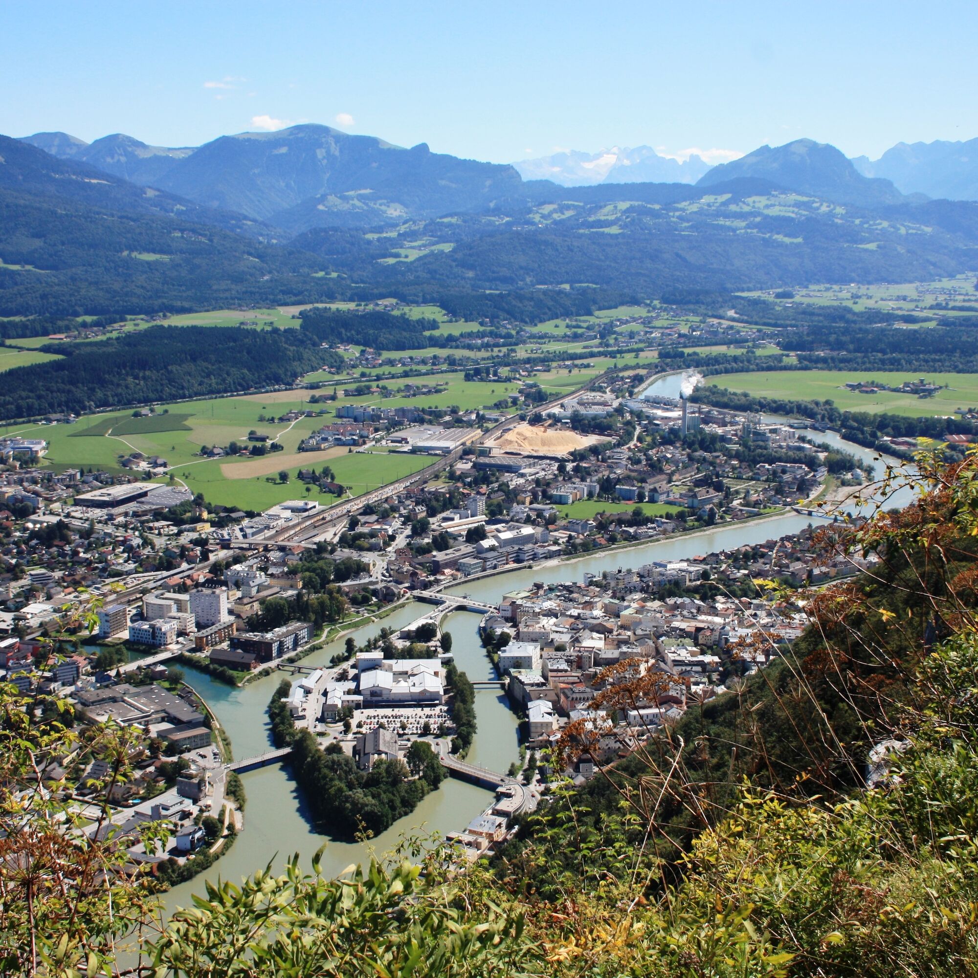
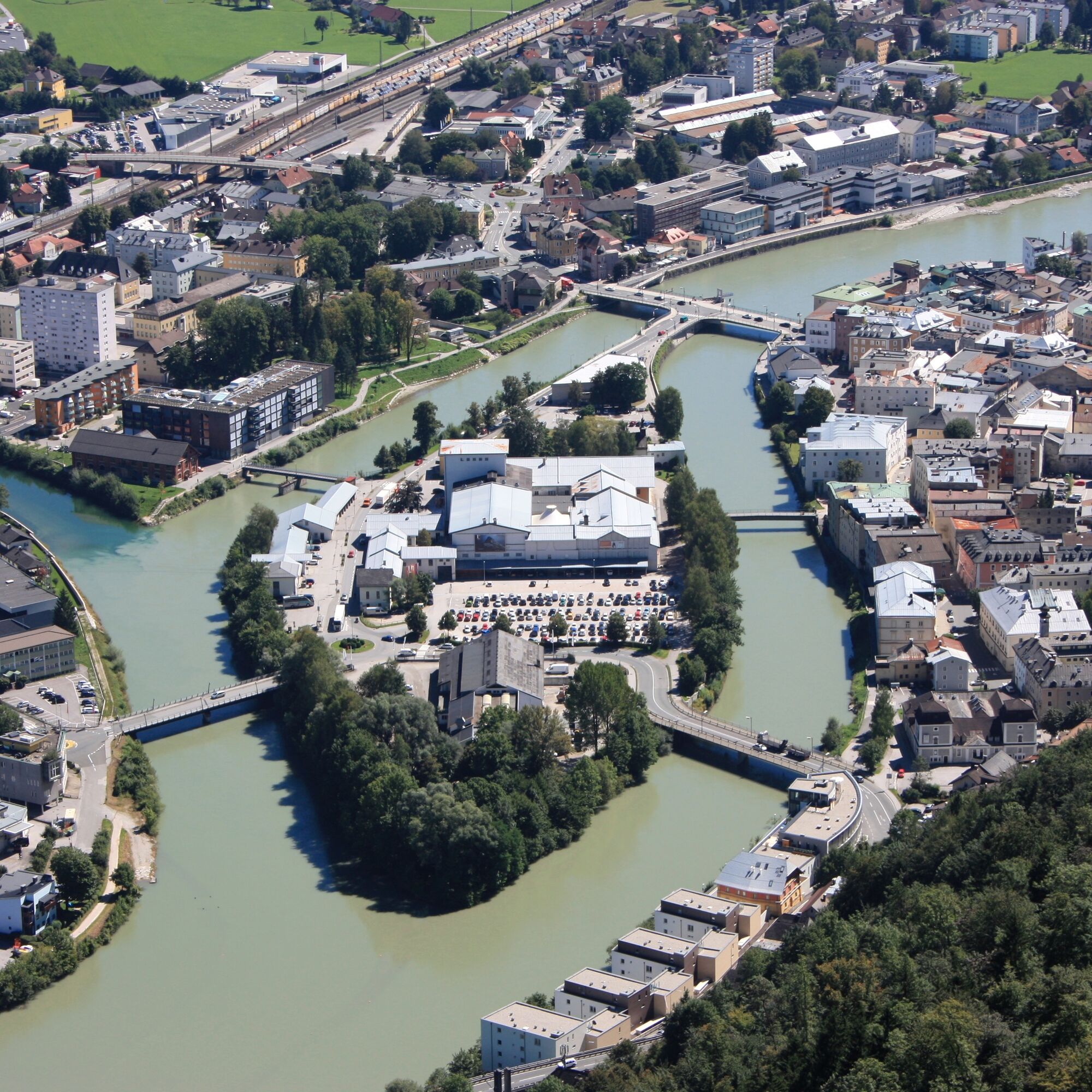
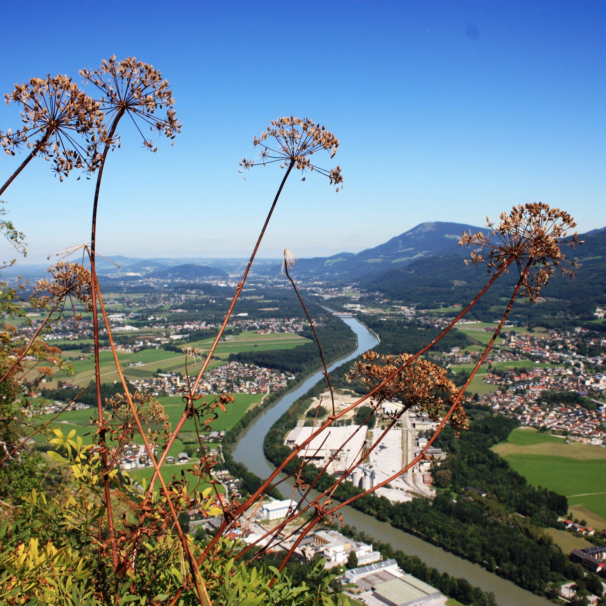
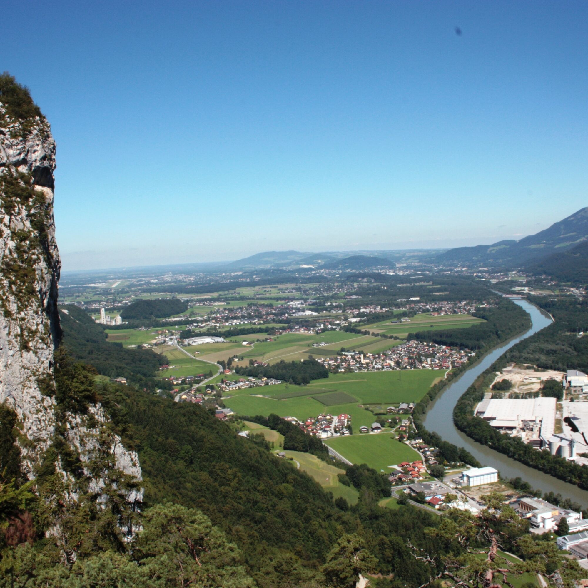
The slogan of the small medieval town on the border with Bavaria hits the nail on the head in this case. On this hike, we cross the national borders more than once, pass lush mountain meadows, and enjoy a dizzying view of the Austrian as well as the Bavarian mountains. The houses of the town of Hallein at our feet reflect the sunlight, and the Salzach River makes its way into the city of Salzburg, where on beautiful days you can even see Hohensalzburg Castle.

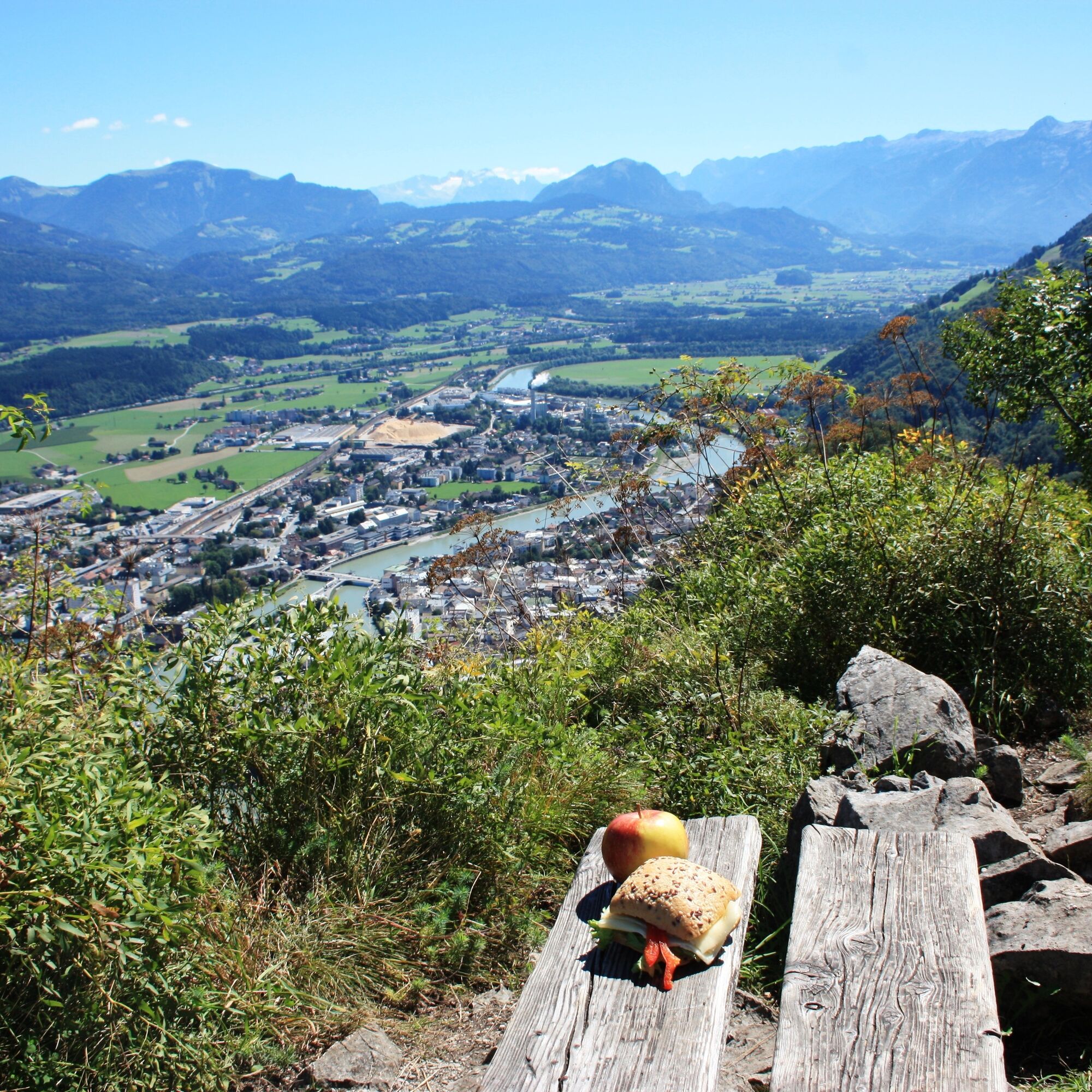
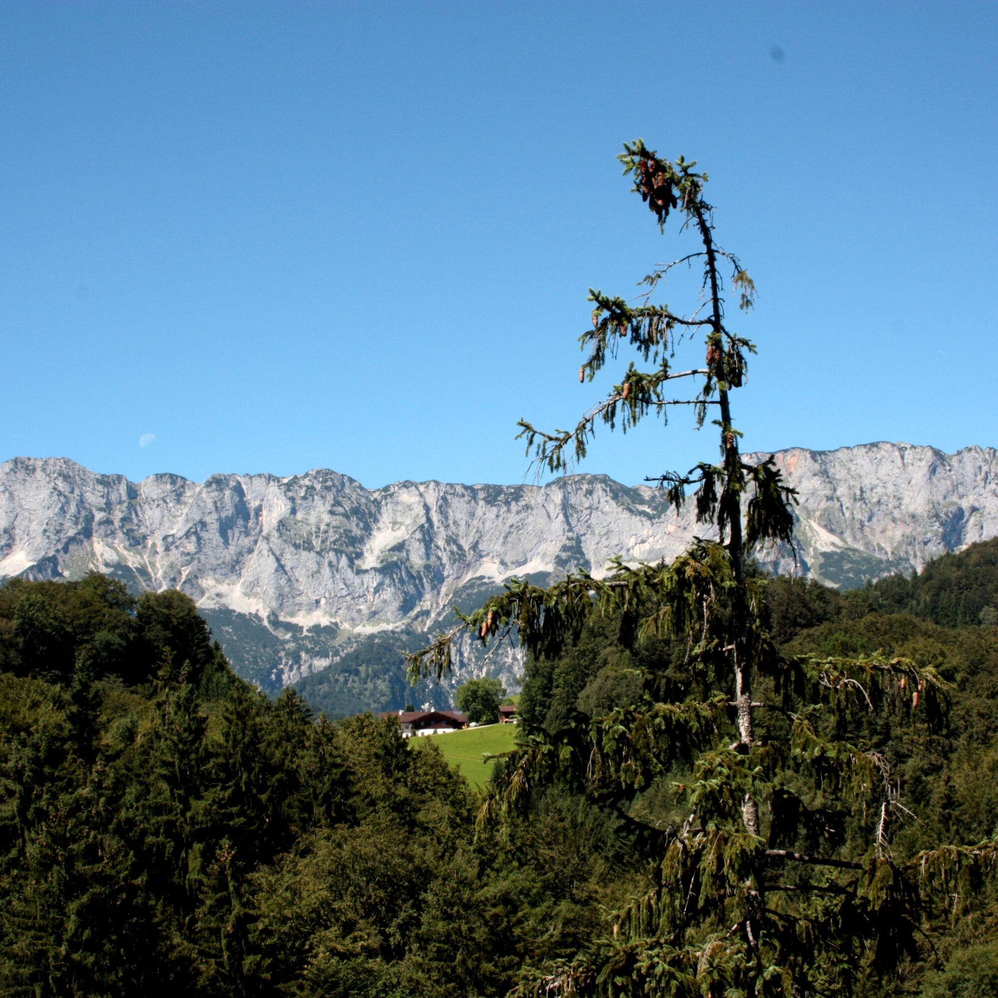
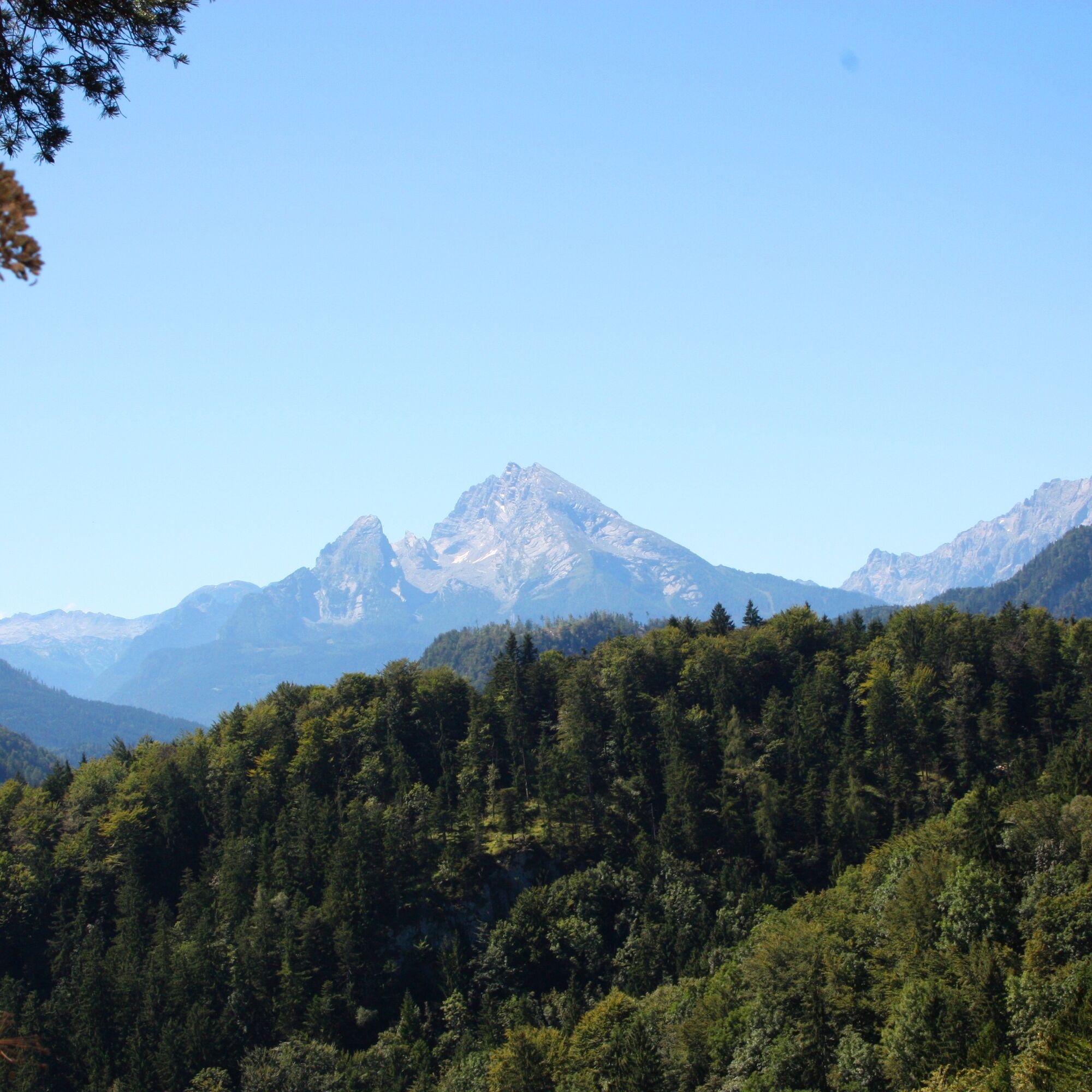
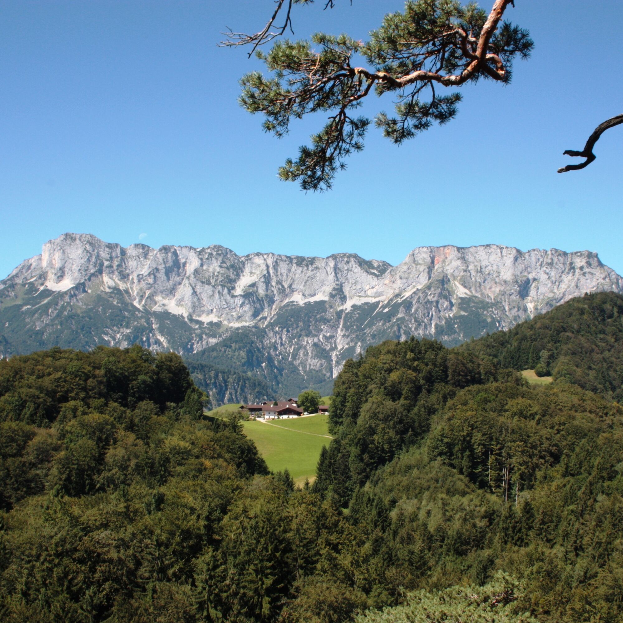
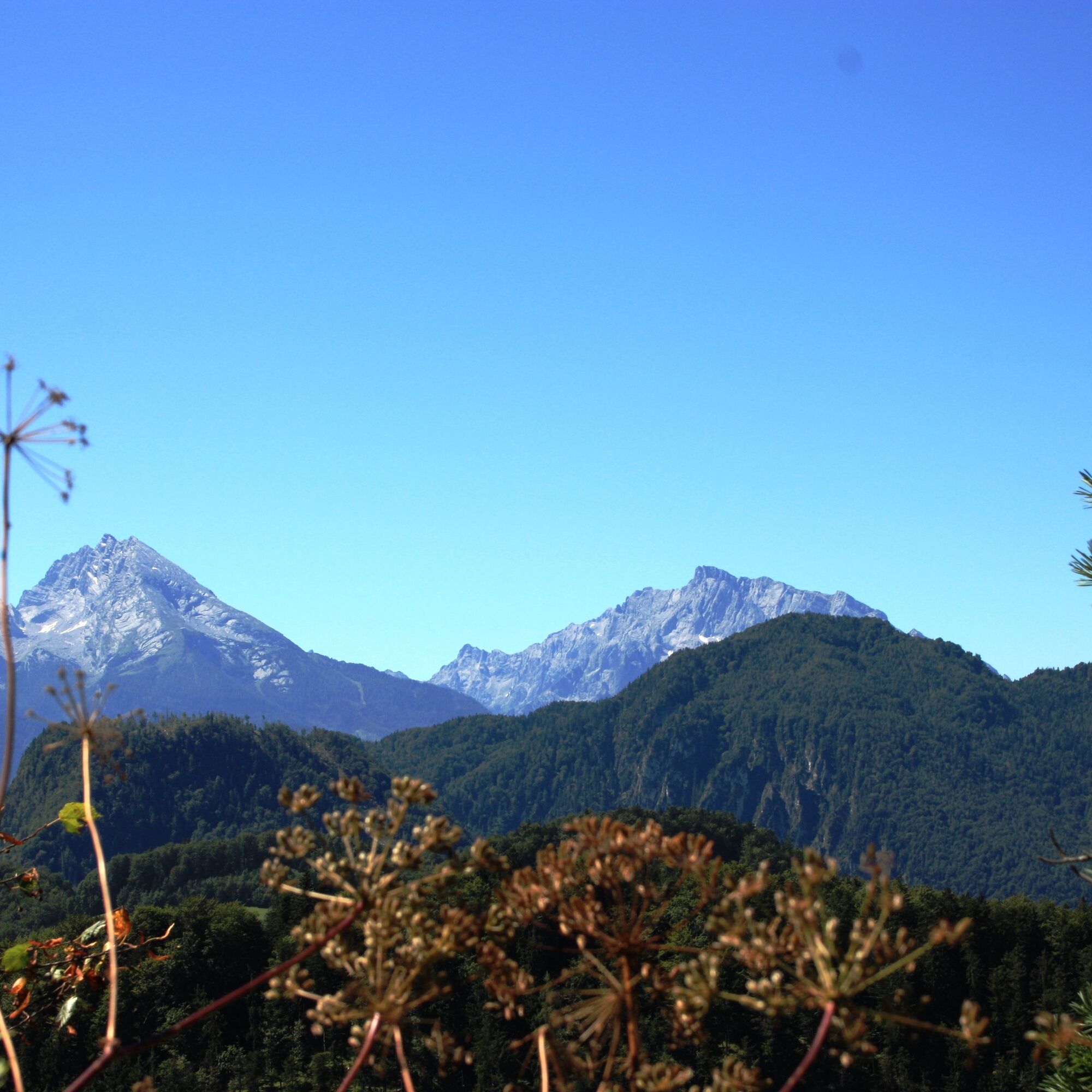
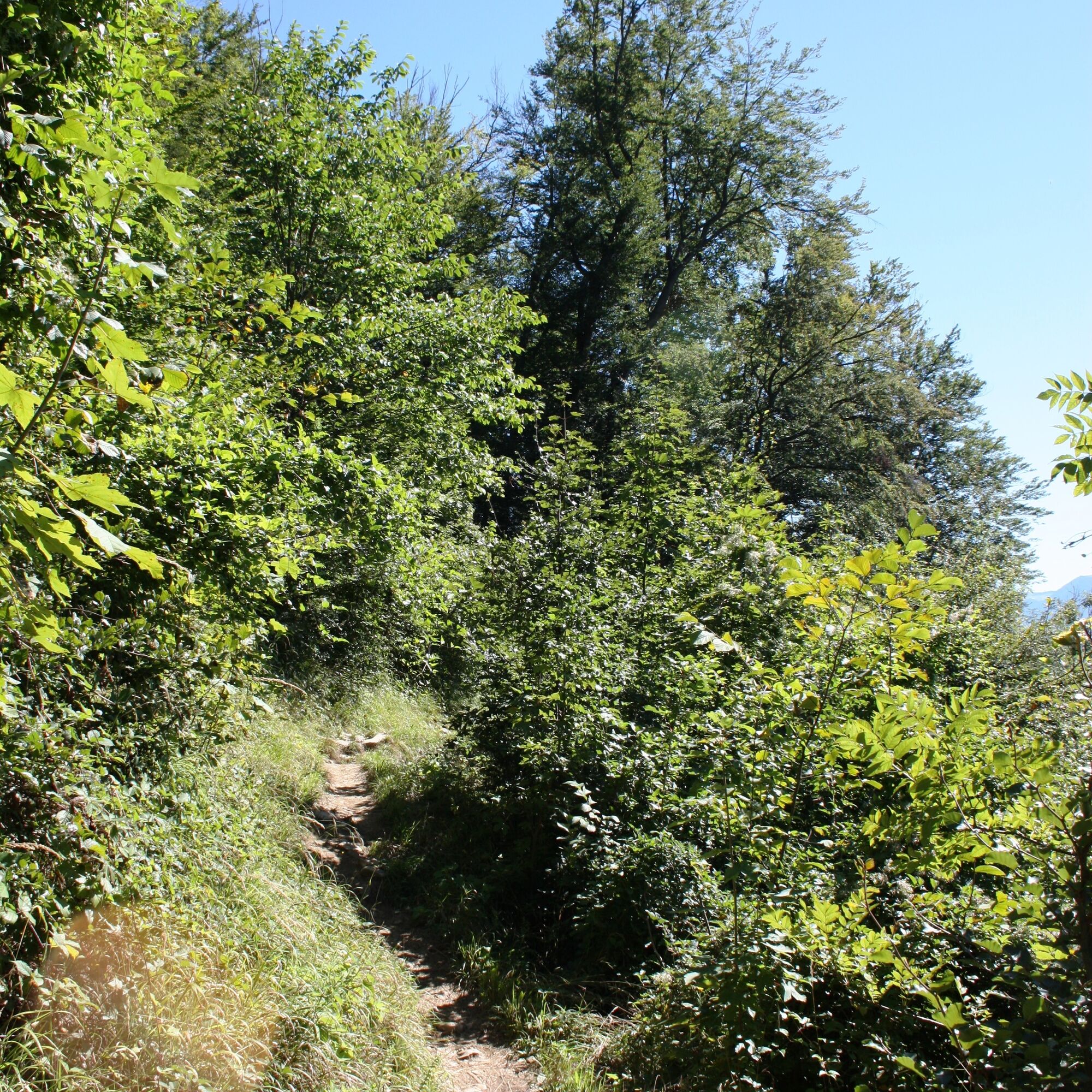
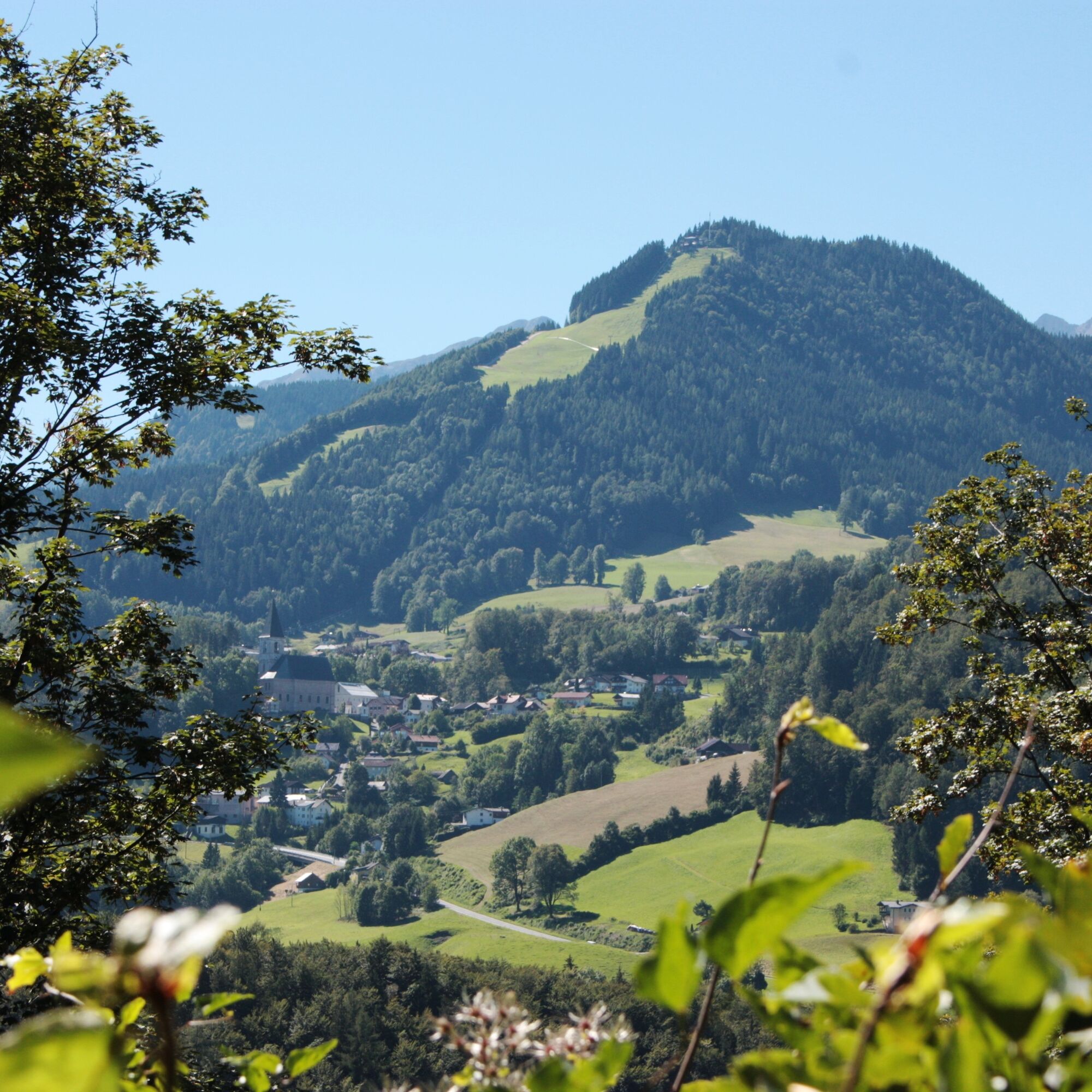
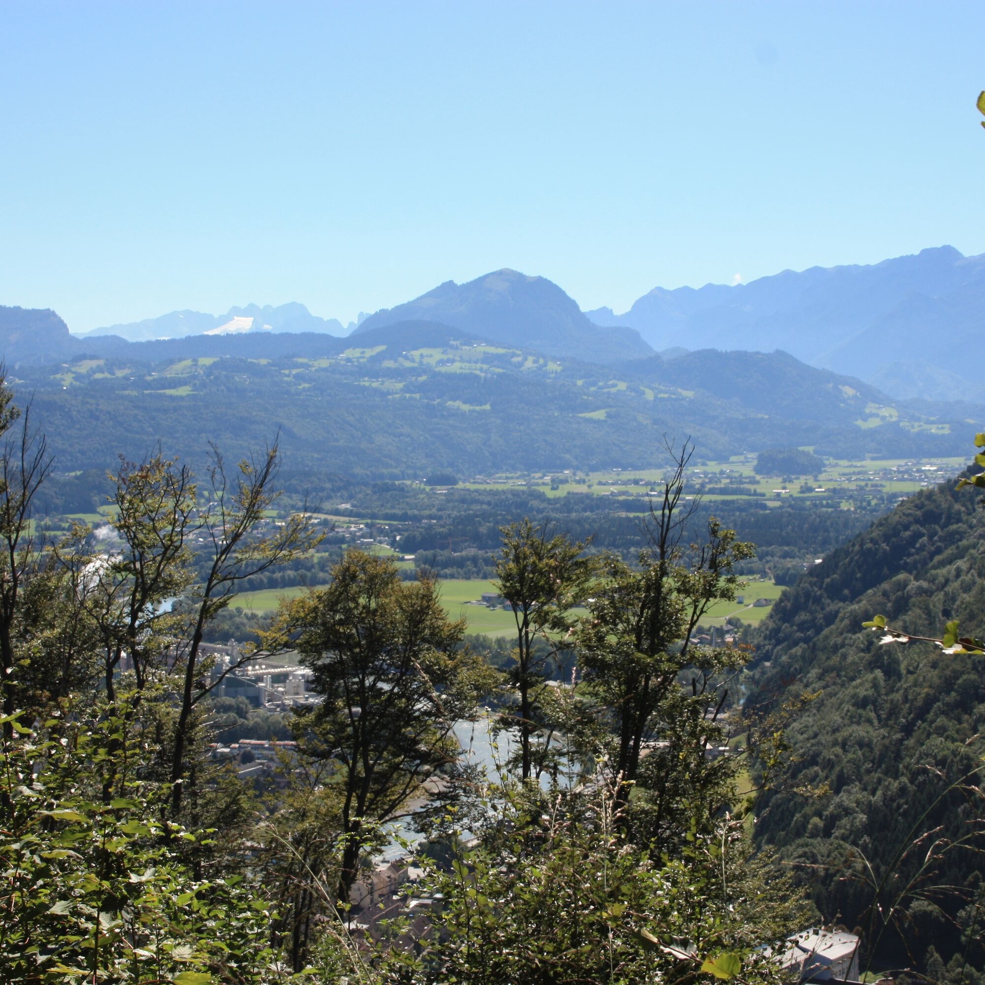
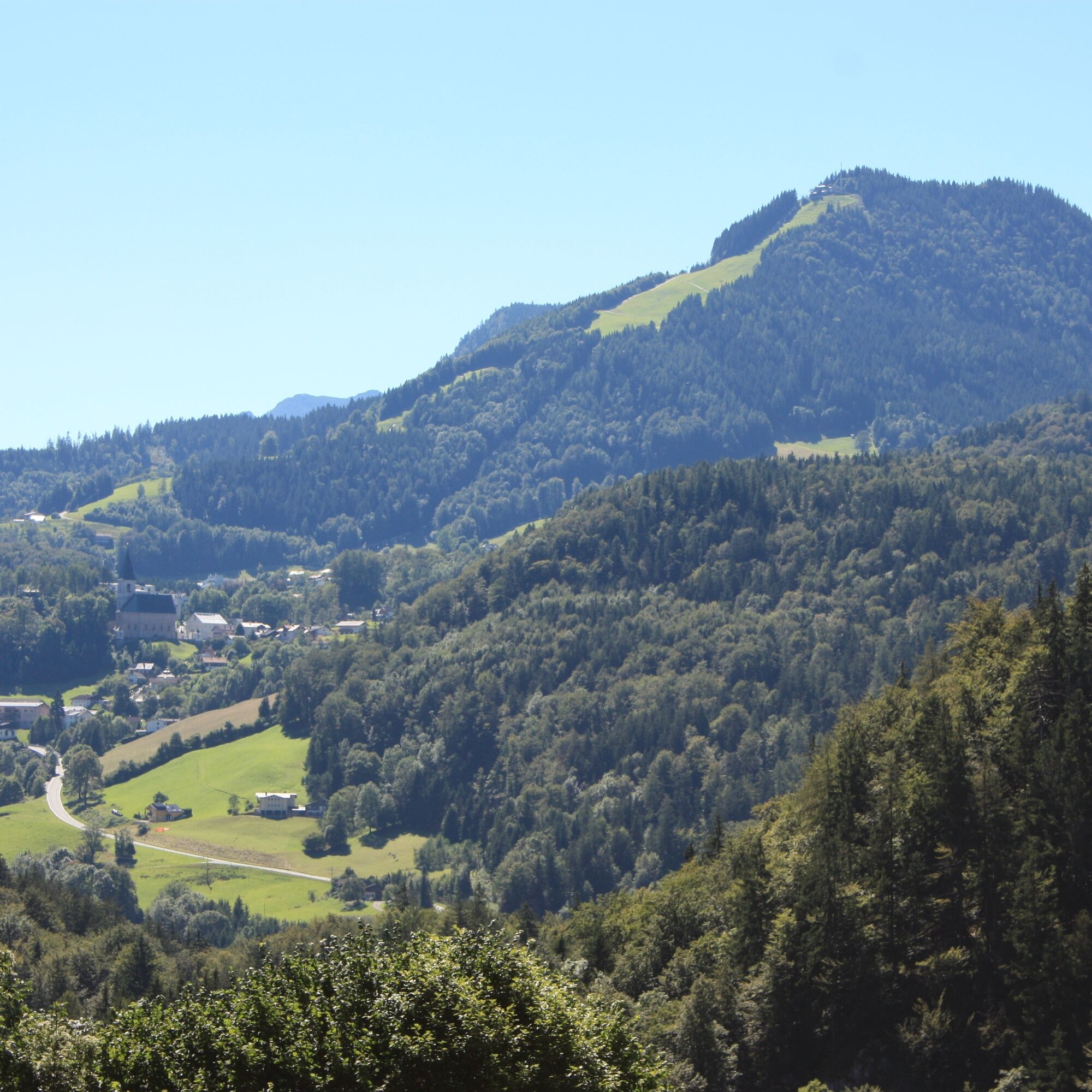
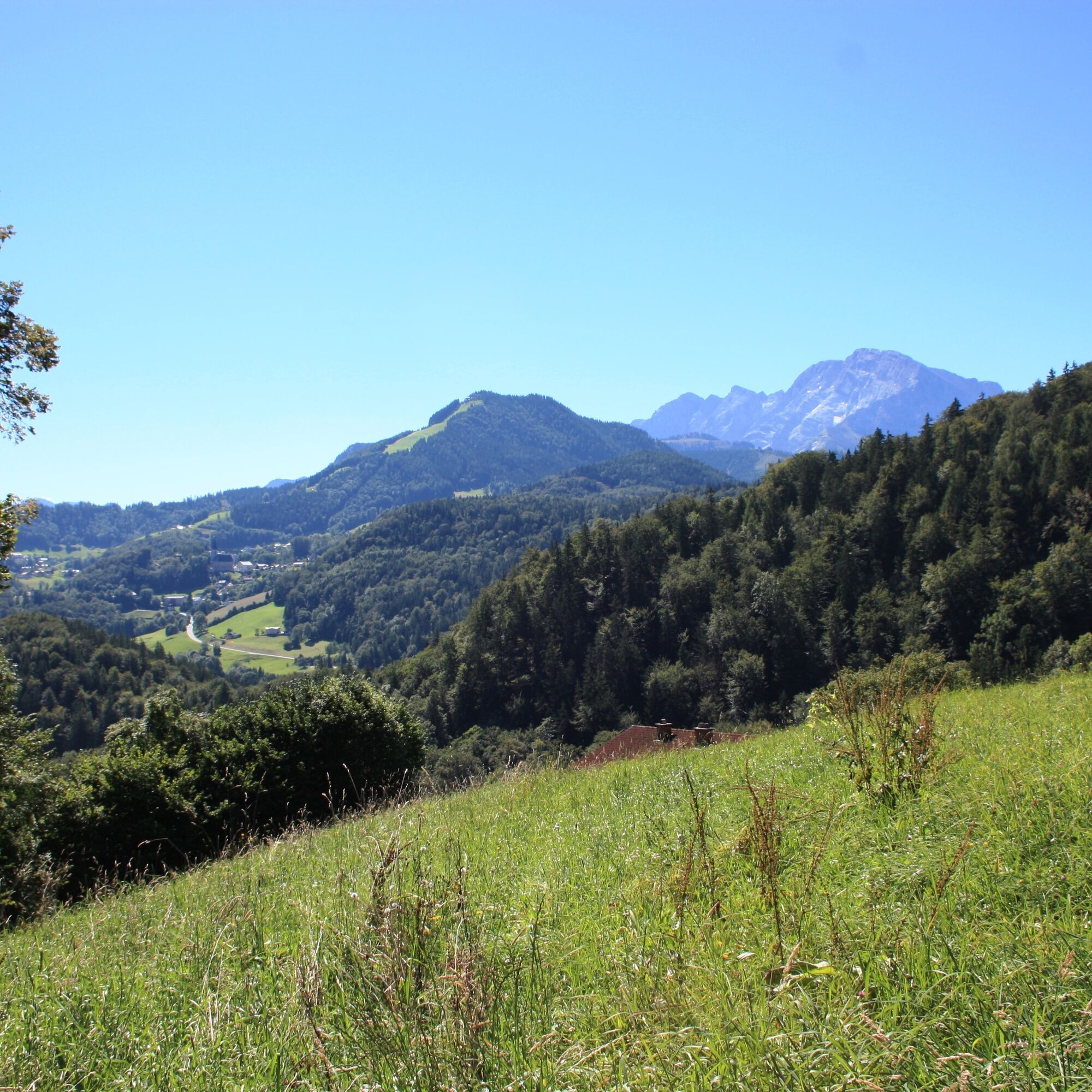
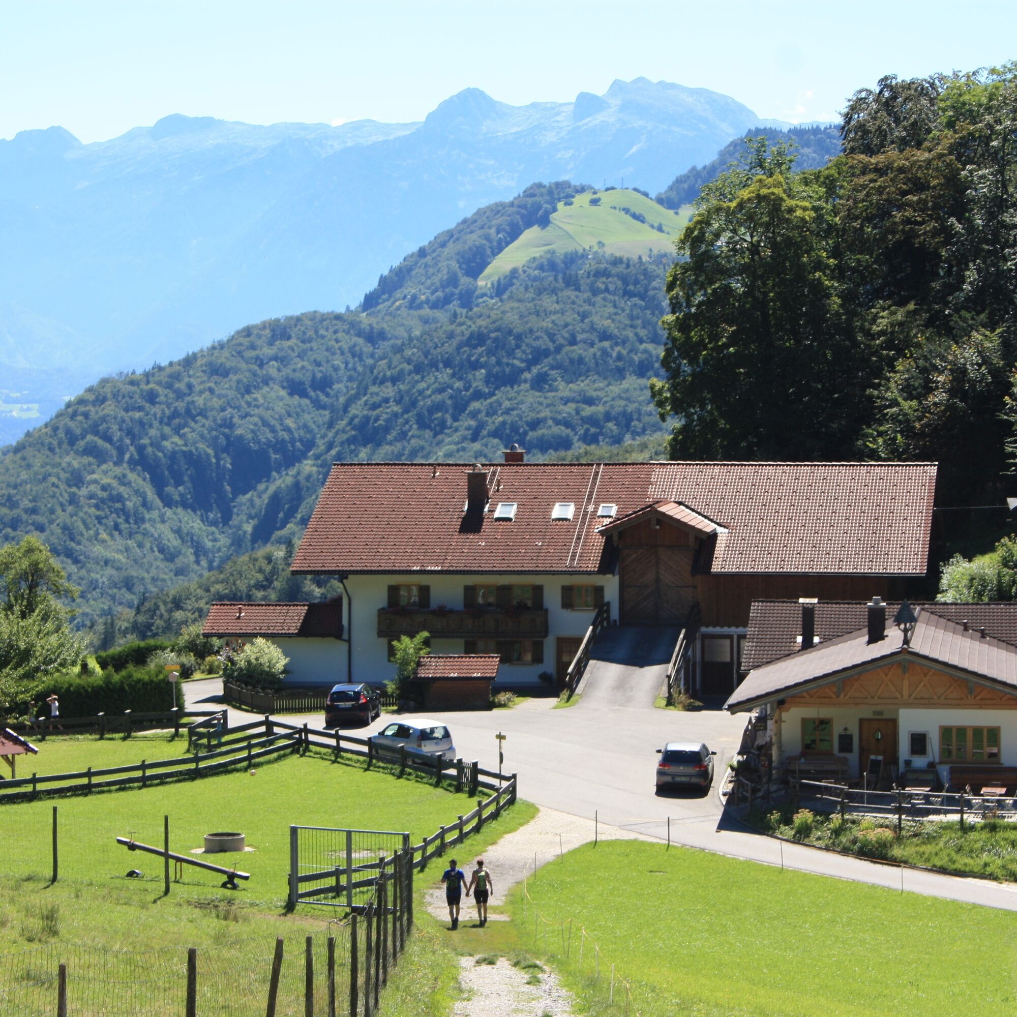
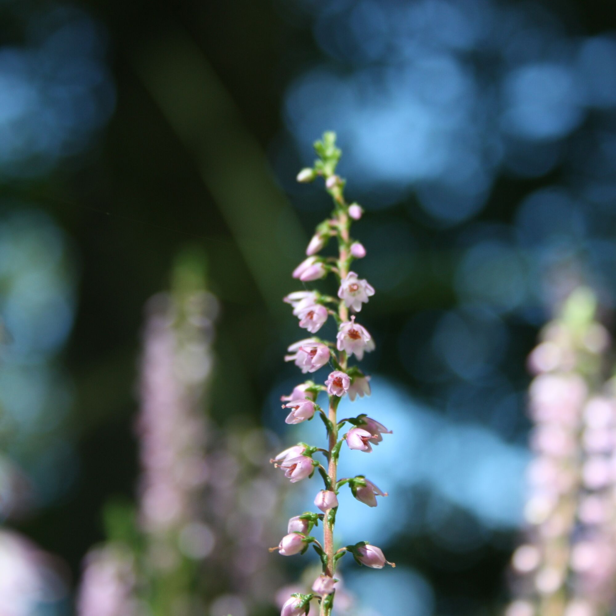
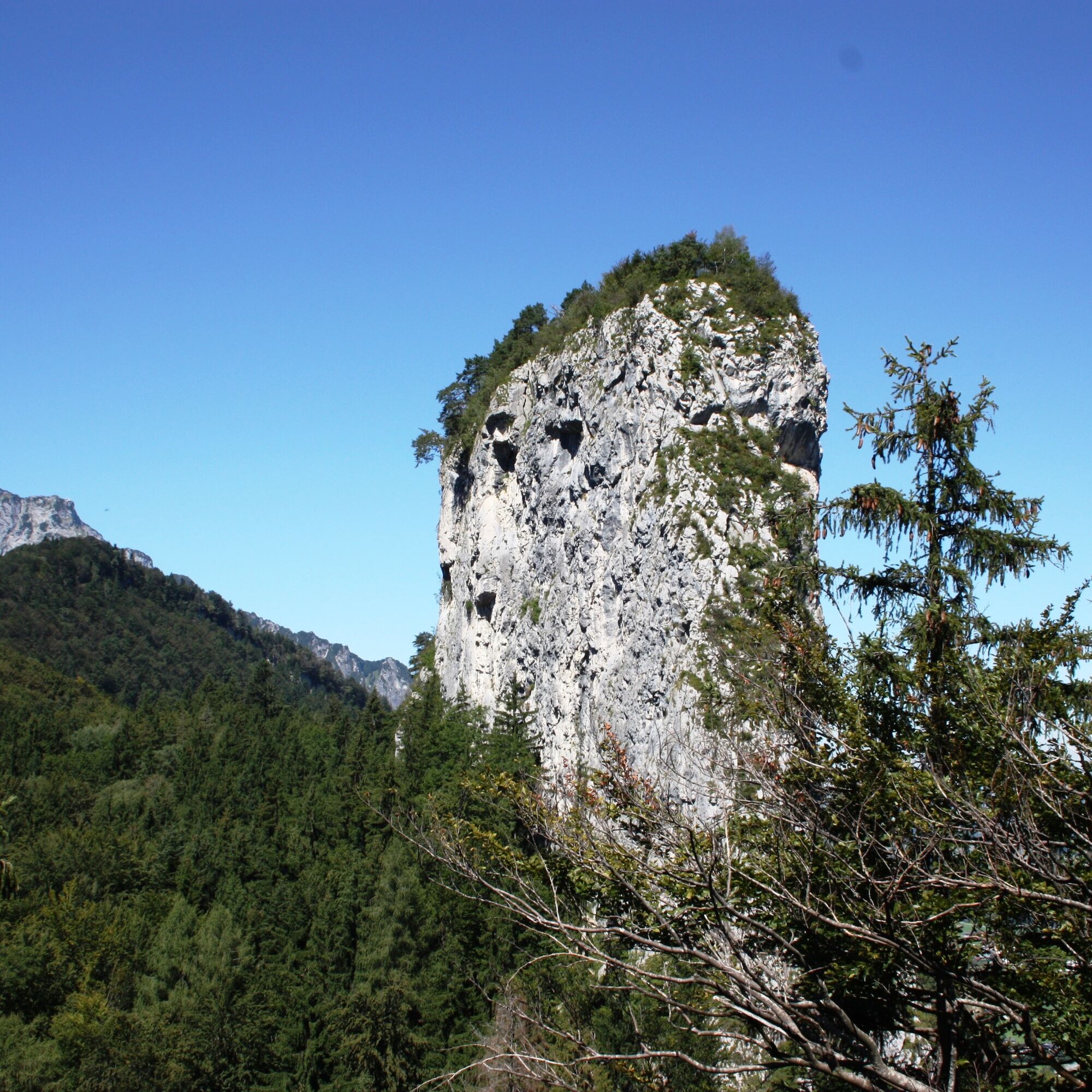
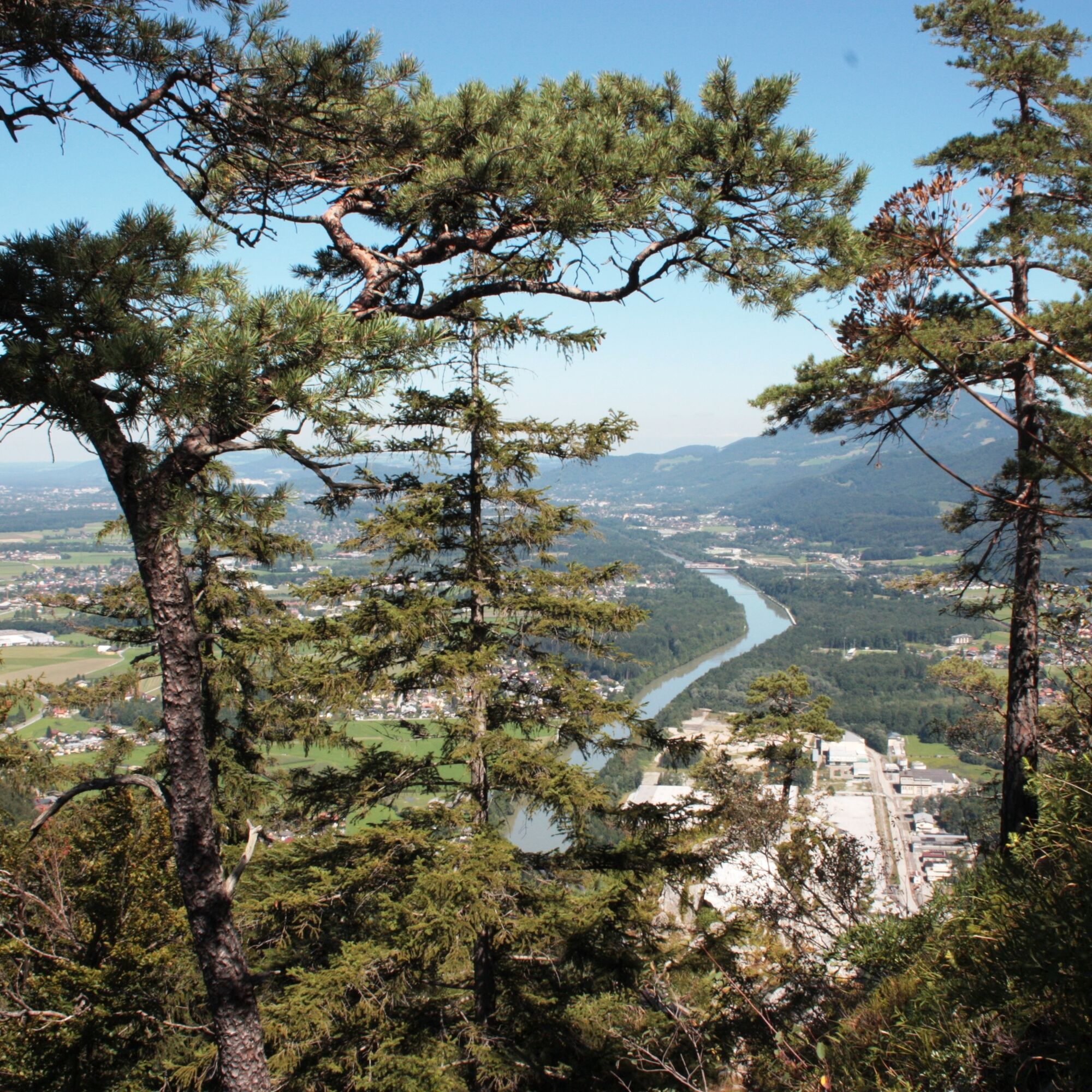
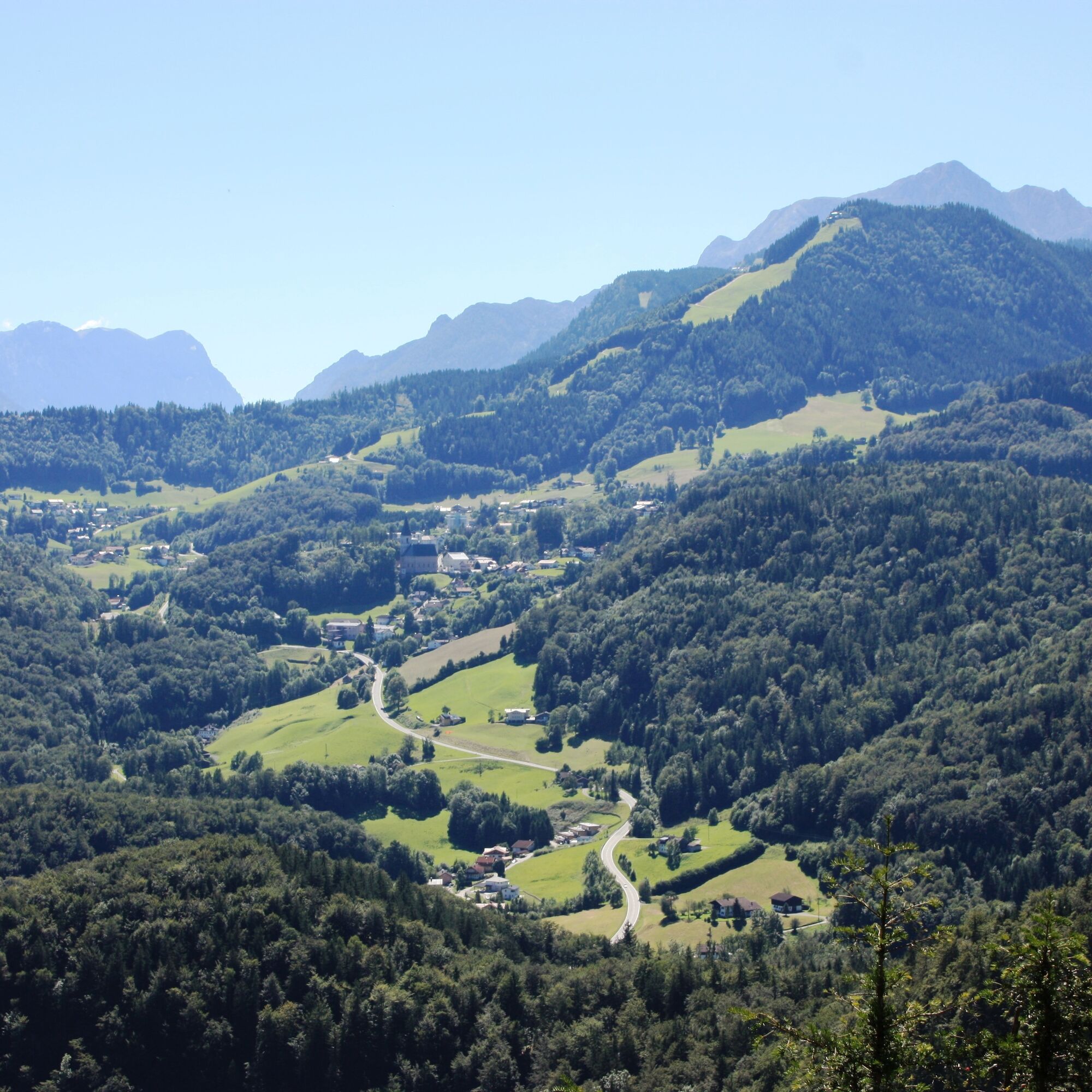
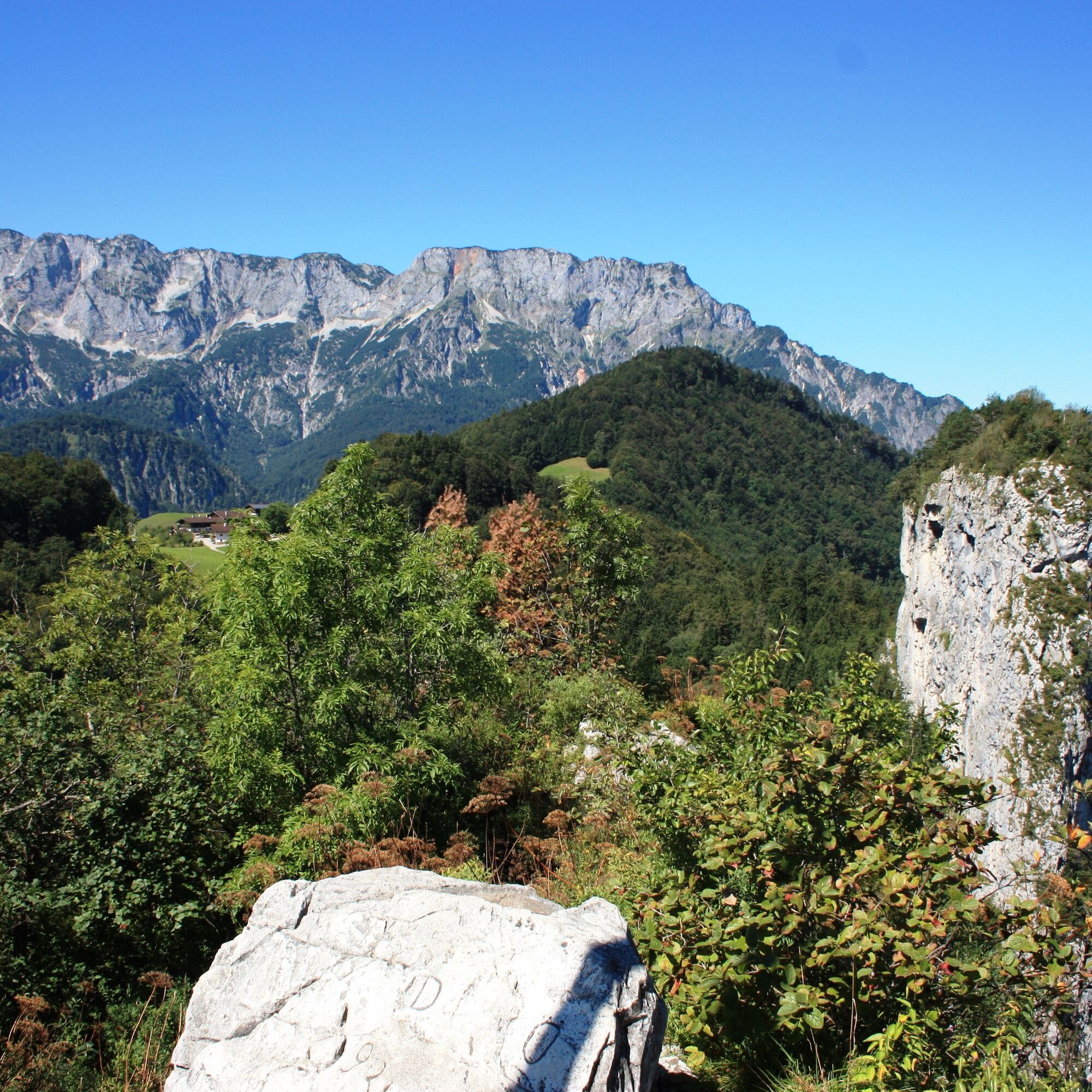
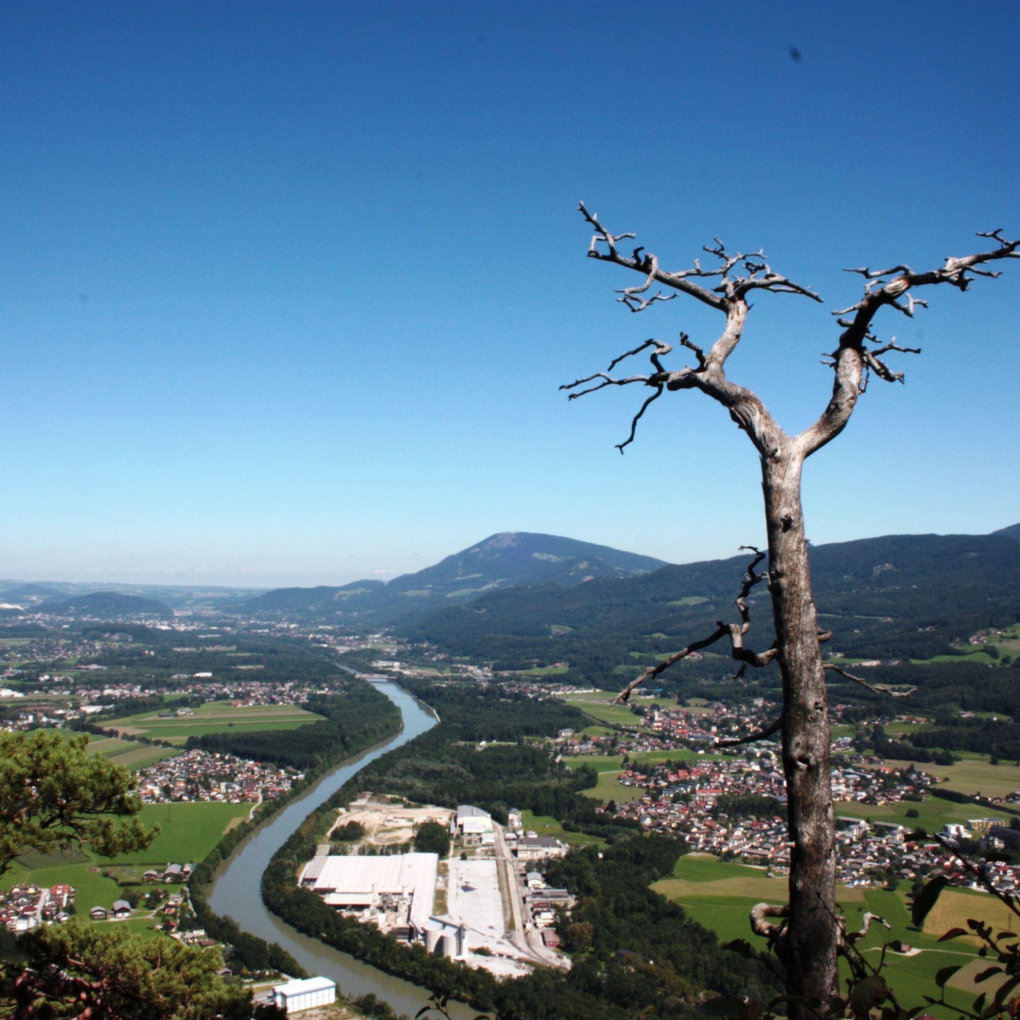
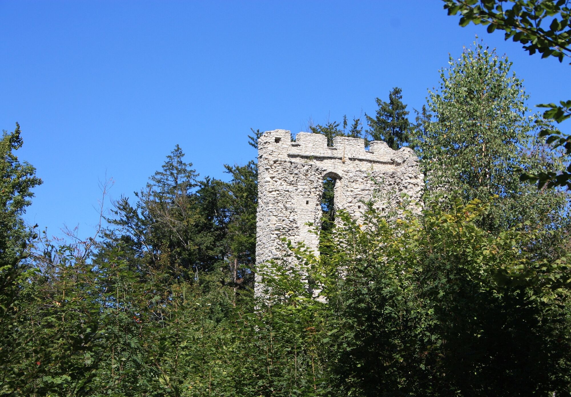
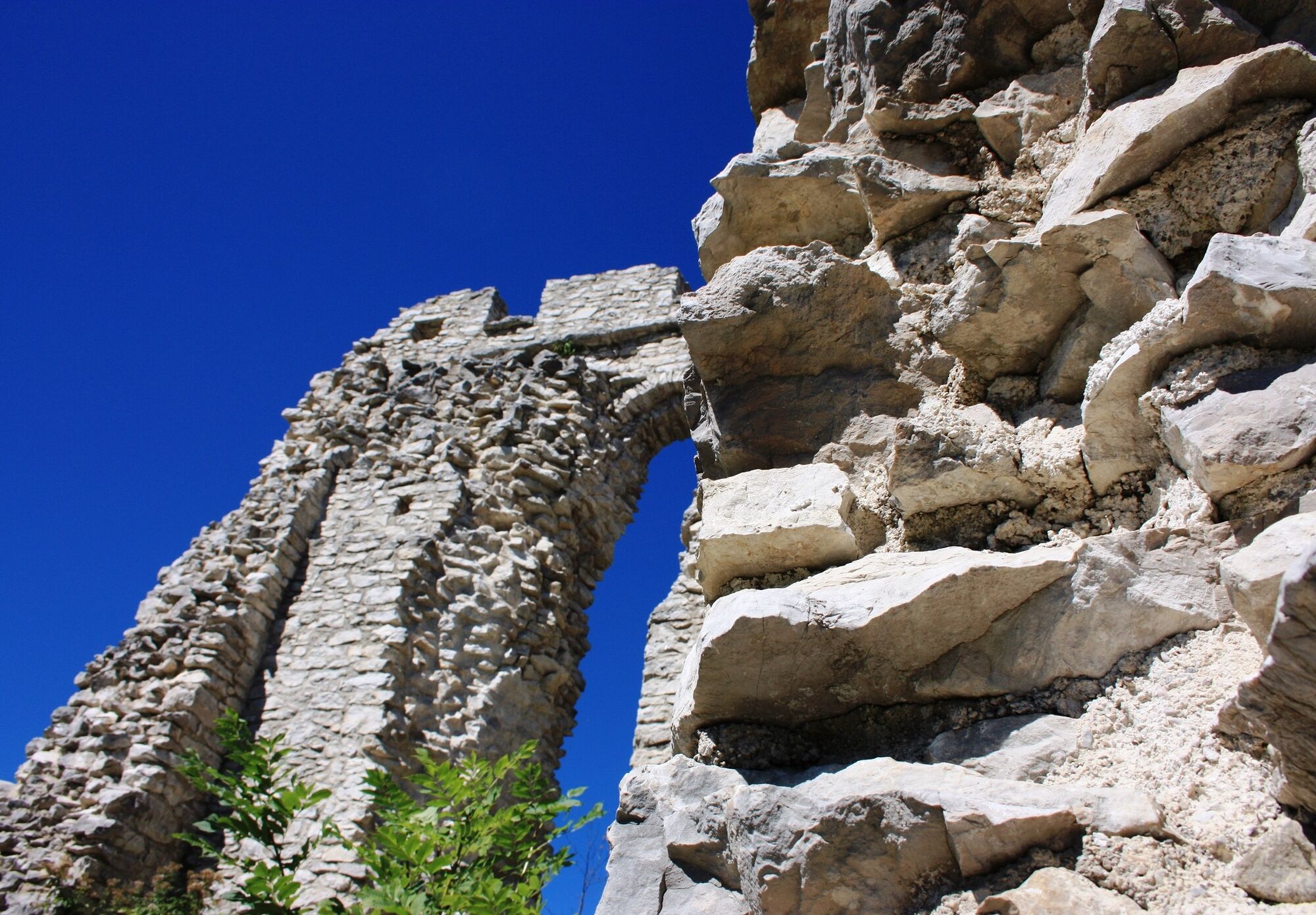

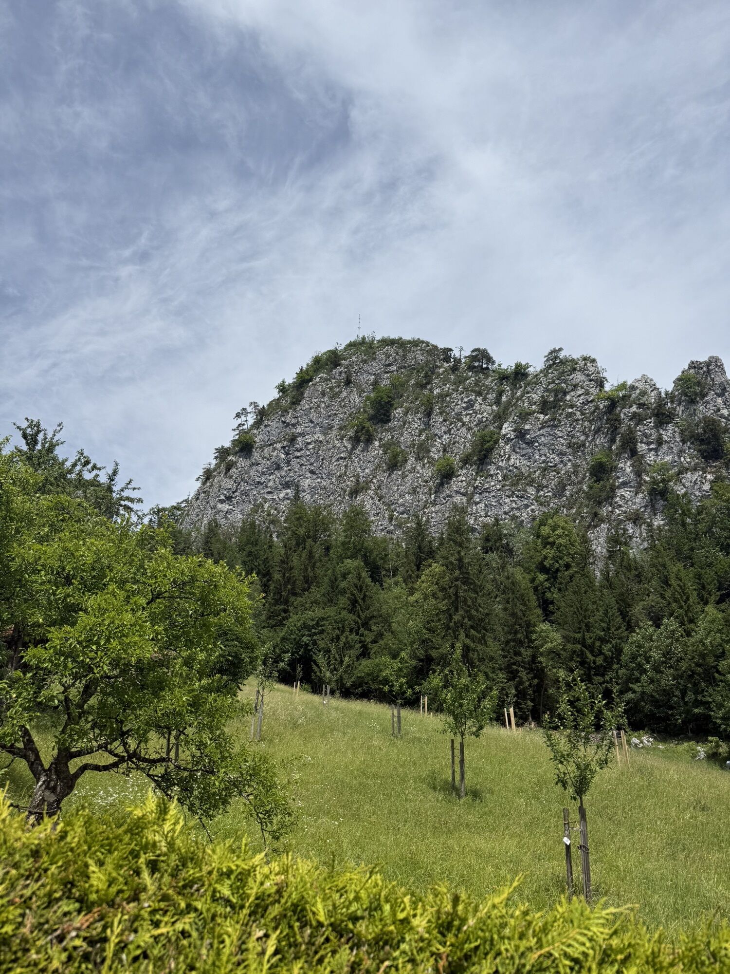
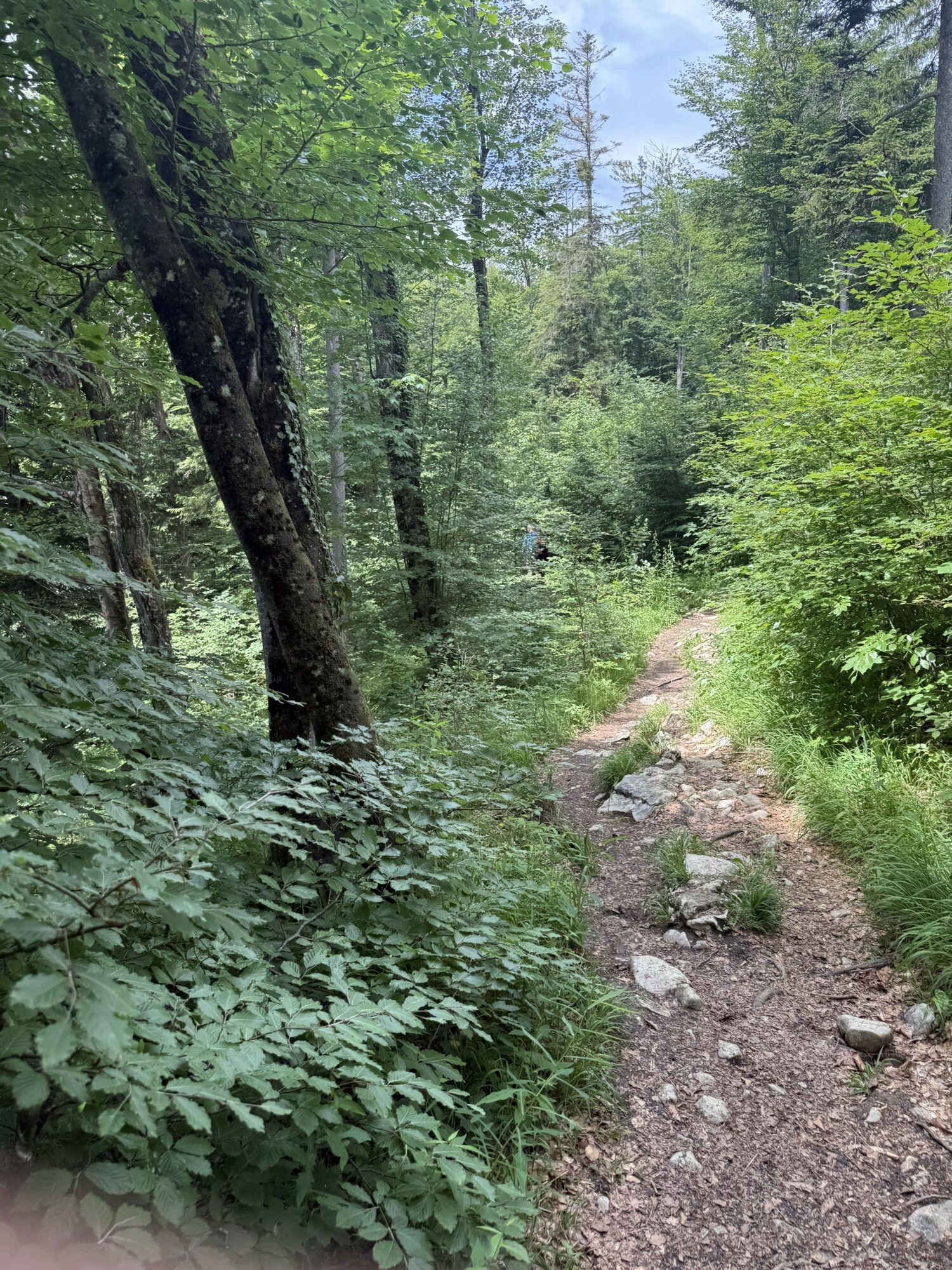
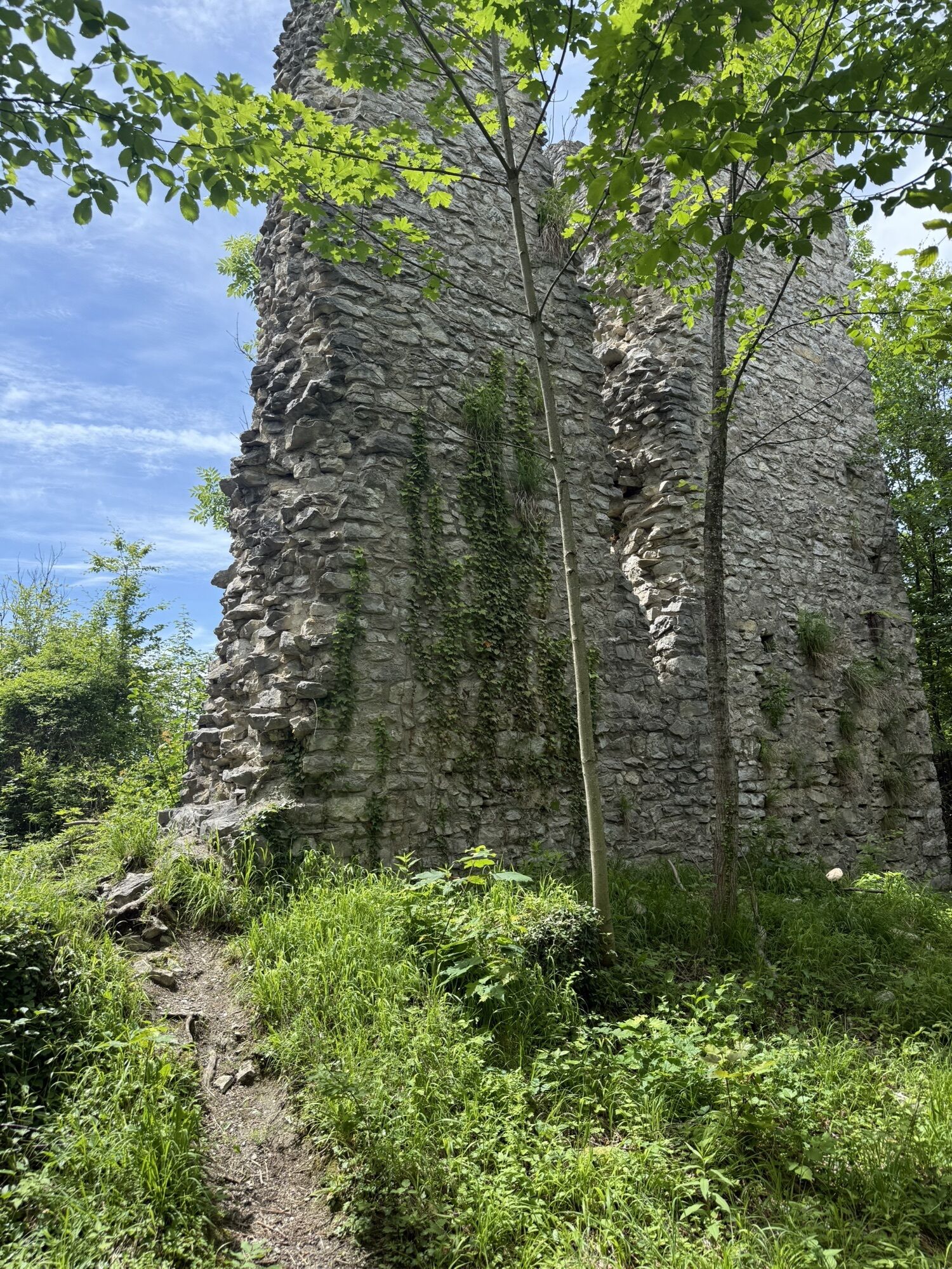
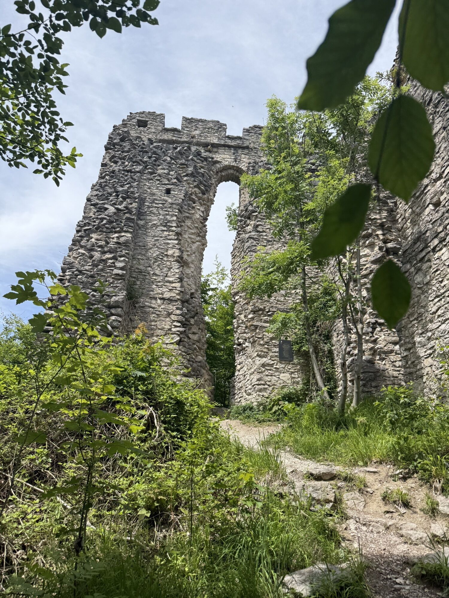
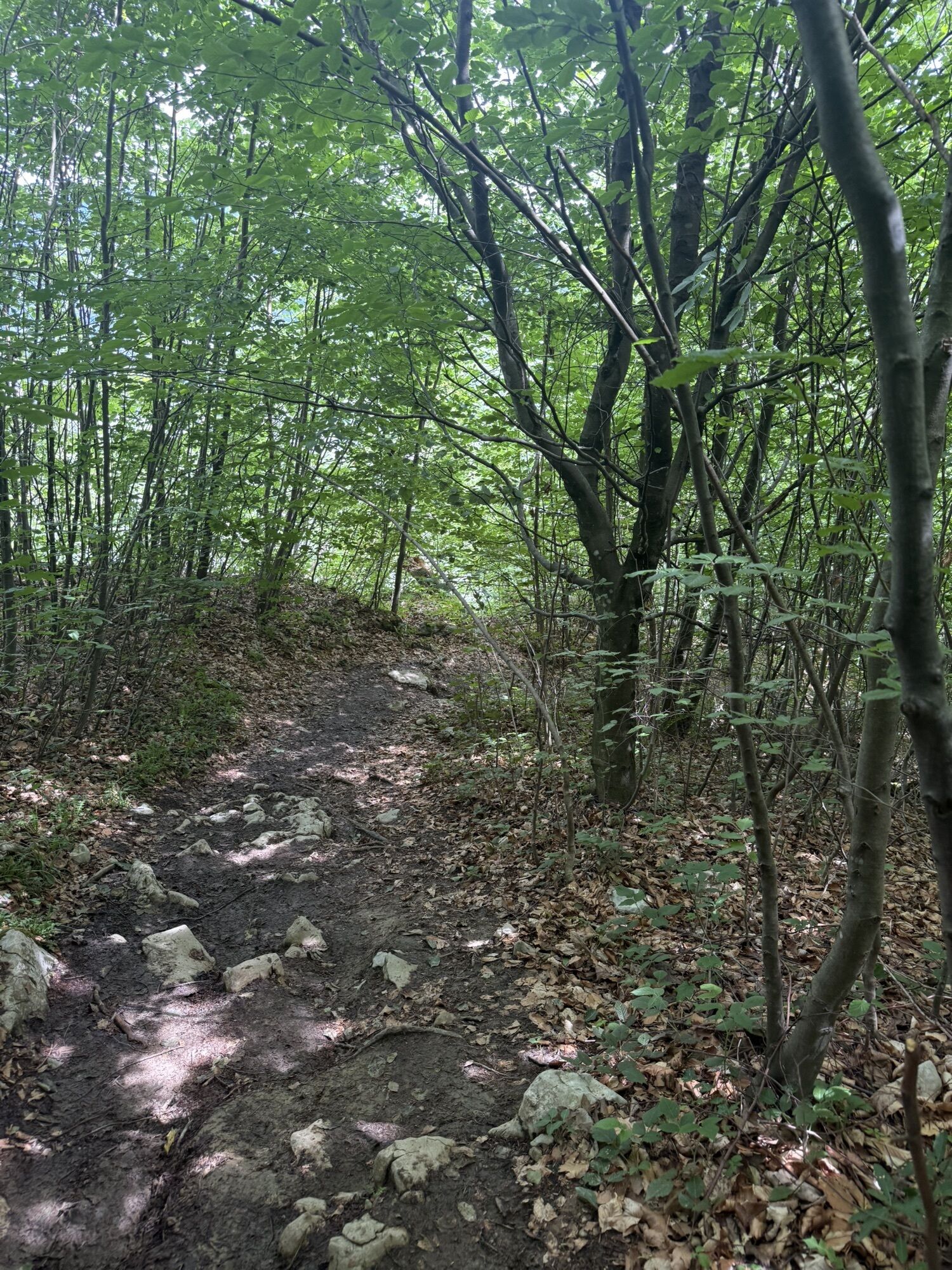
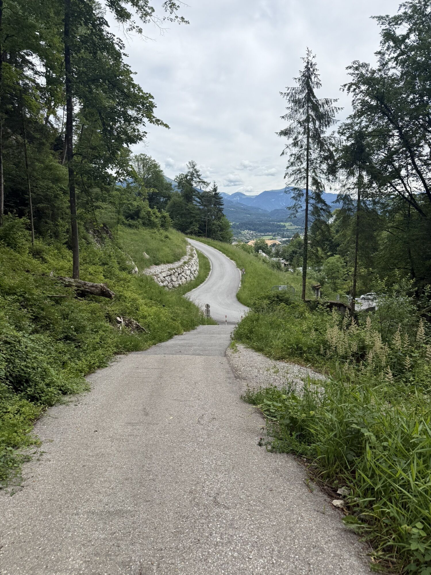
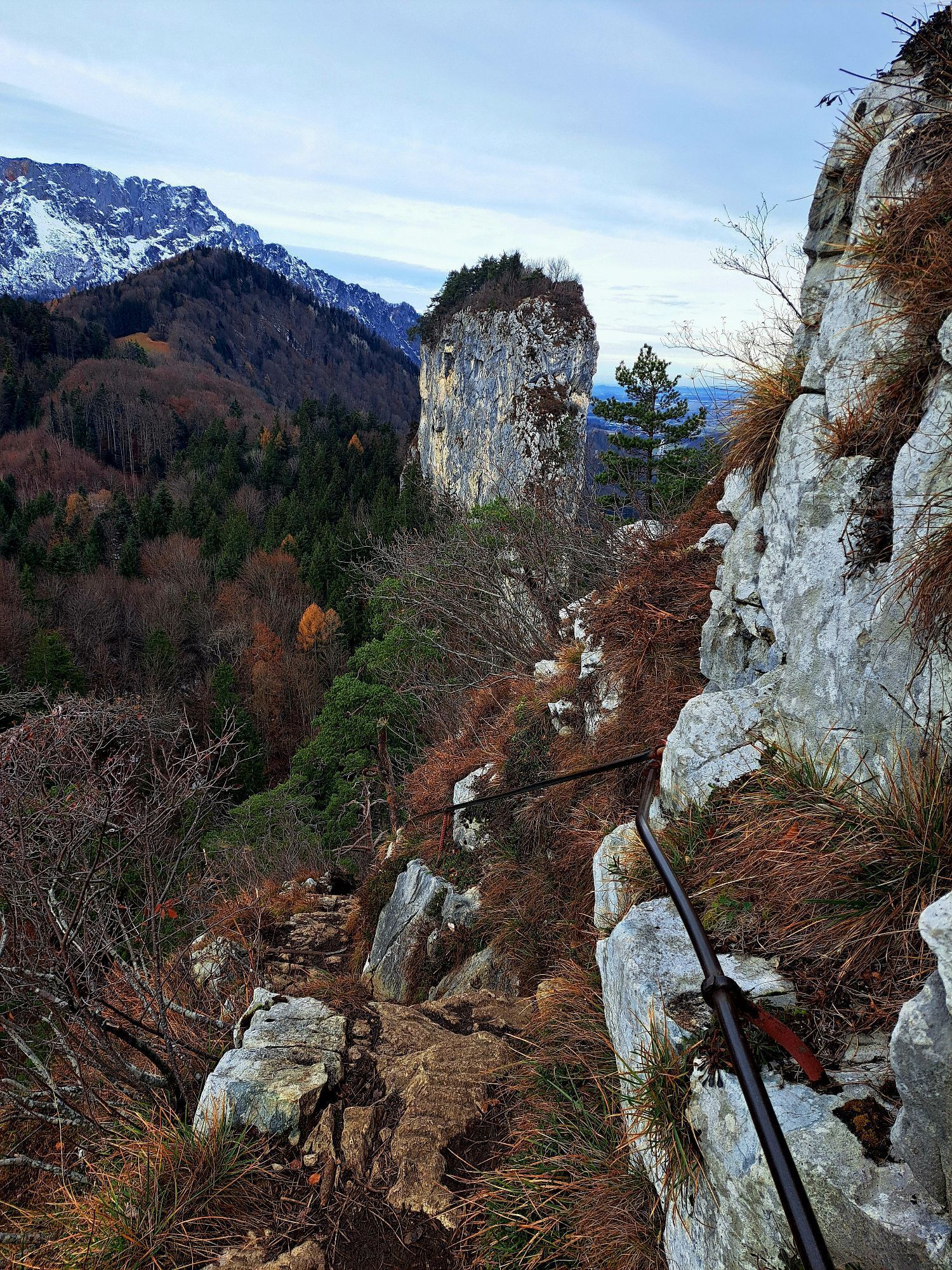
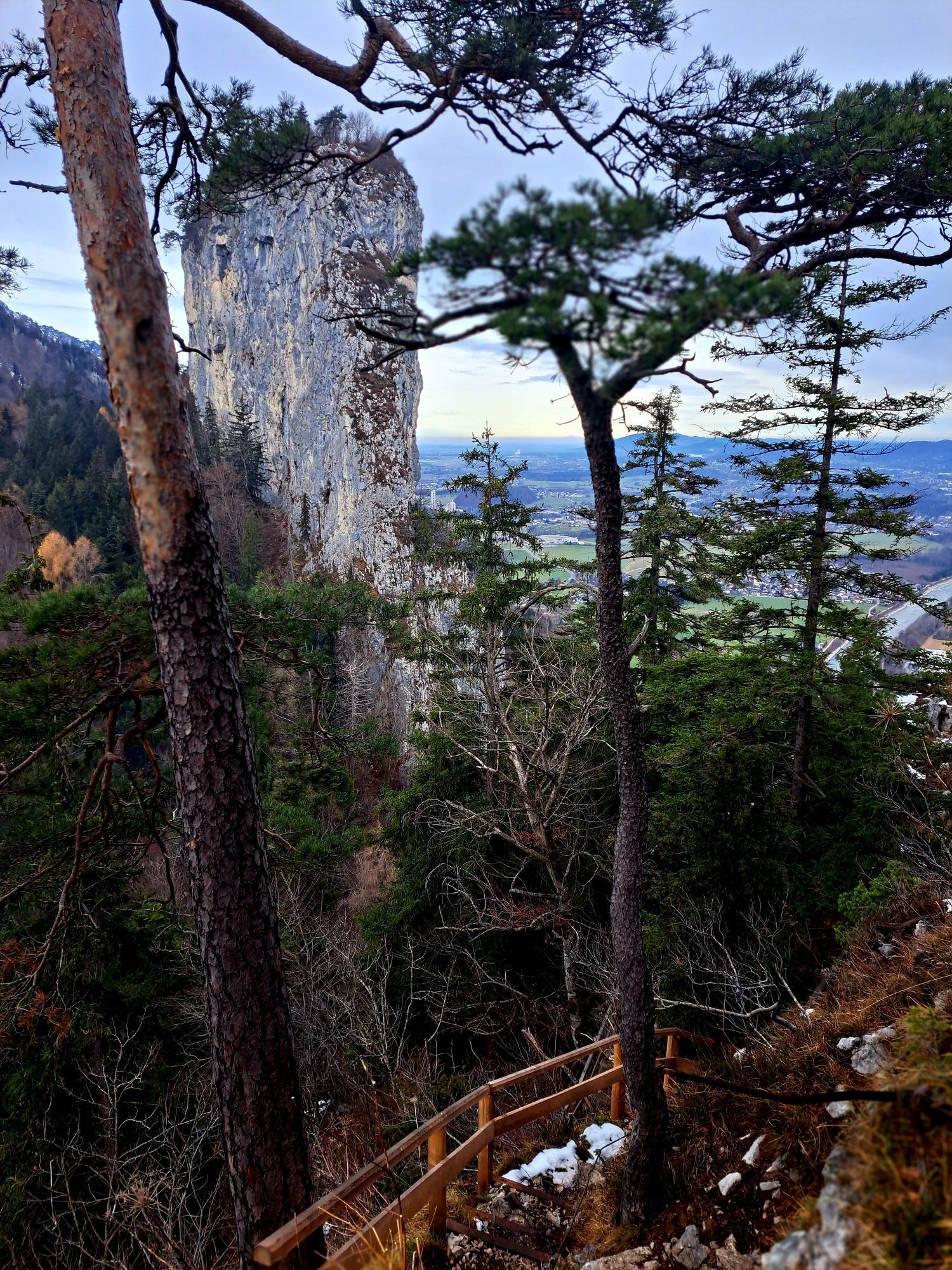
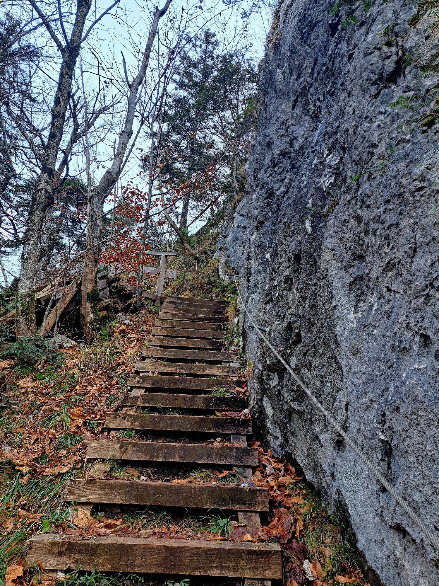
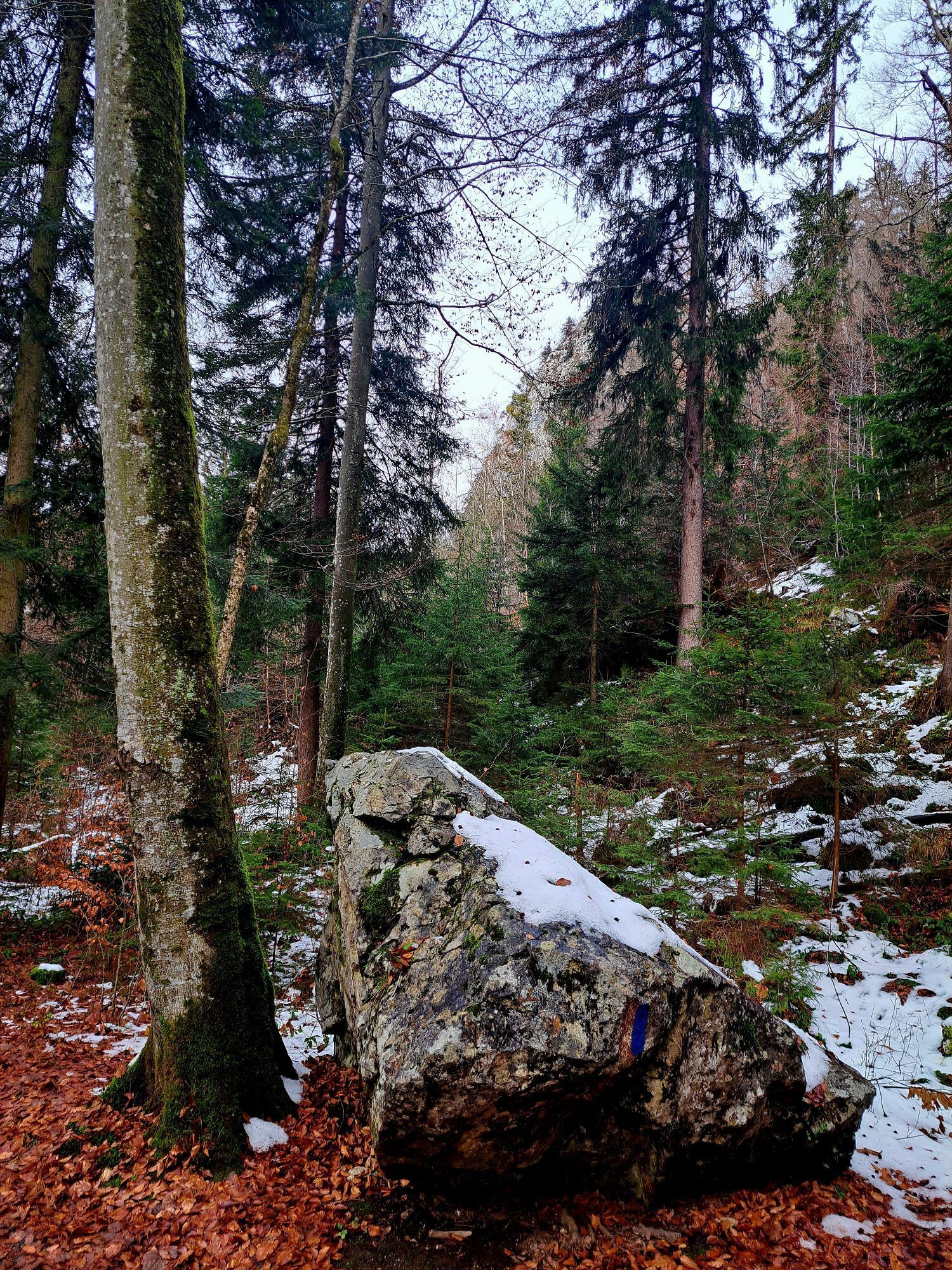
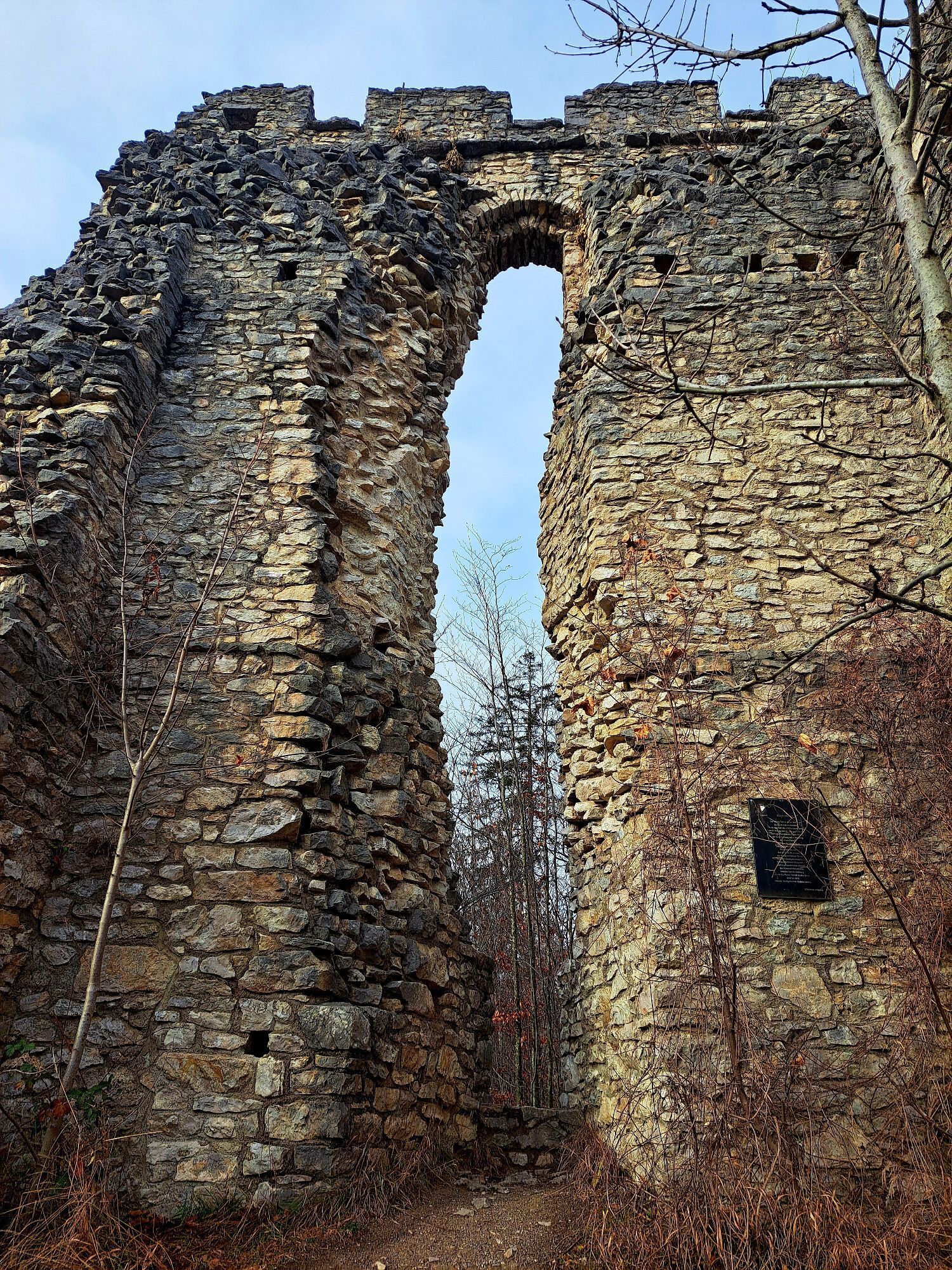
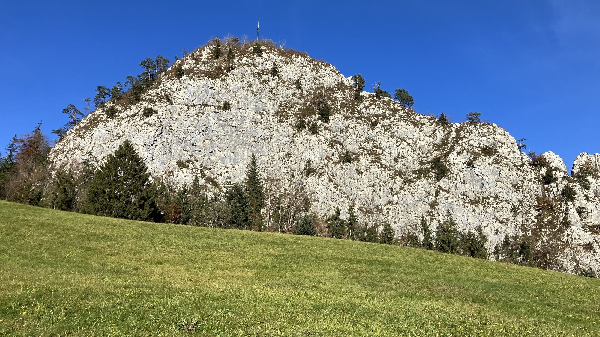
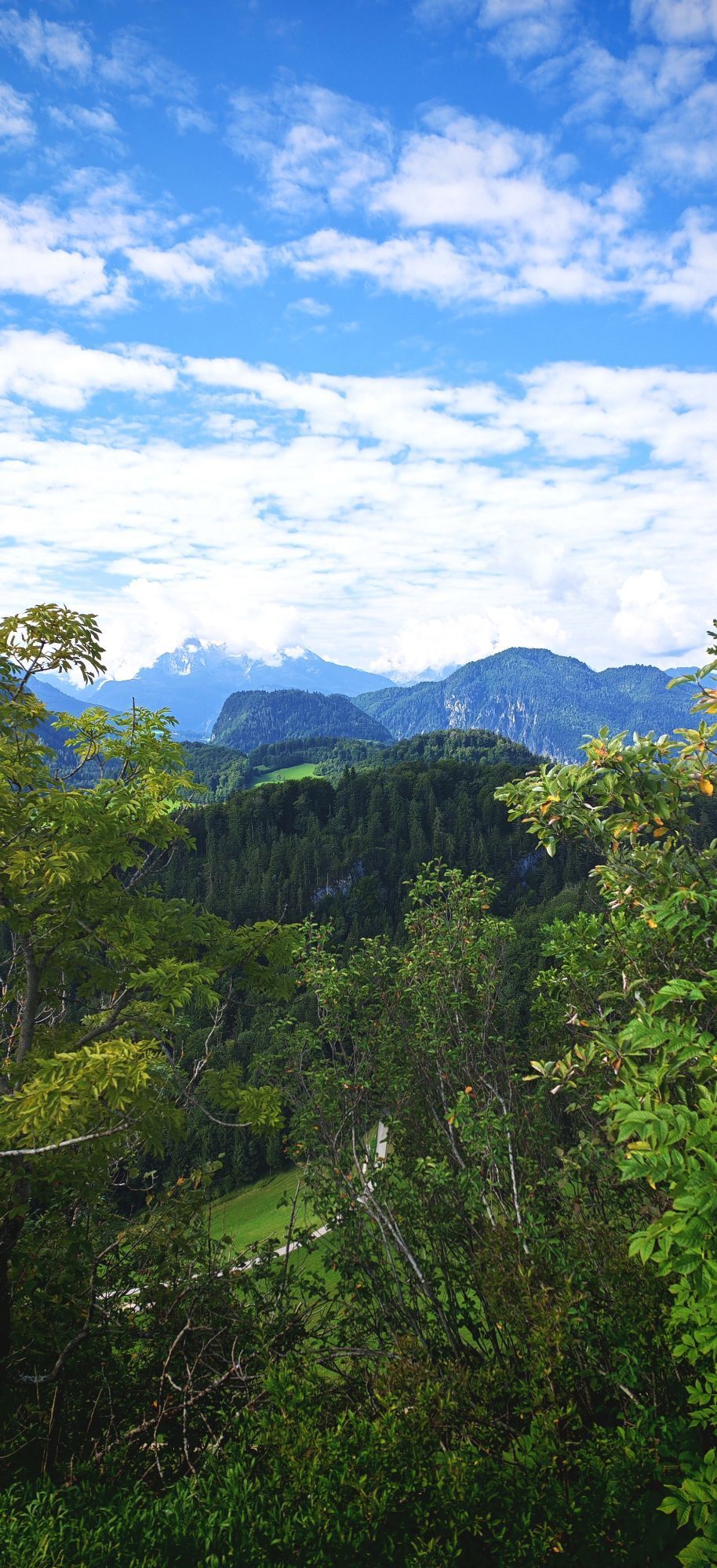
Our starting point for this hike is located directly next to the Dürrnberg state road between Hallein and Bad Dürrnberg. We park behind the tunnel next to the road and turn right onto Kleinkirchentalweg. From here, we follow the Bgm. Alois Oedl Steig on the right, which according to information leads to the Thürndl ruin in 30 minutes. The path initially goes uphill over some steps and then winds in switchbacks up to about 700 meters. In the bright forest reserve mainly consisting of deciduous trees, views open up repeatedly to the Zinken, the Salzach valley, and the Bavarian mountains. Shortly before reaching the Thürndl ruin, the forest opens again, revealing a lovely clearing covered with heather. A few meters later, the remains of the once mighty Thürndl ruin rise from the forest. We now walk past the former defensive fortress on the left and enter a dark, moss-covered coniferous forest. On this path, cushioned with soft fir needles, we walk for about 15 minutes until we reach a large clearing and the route returns to inhabited areas. From here begins the most demanding part of our hike: the ascent to the Kleiner Barmstein. With our goal in sight, we walk along the game enclosure on the narrow gravel path up to the forest. We follow the signpost with the black marking toward "Kleiner Barmstein" and after a few meters turn right in the forest. First over stairs, then over increasingly difficult terrain, the path winds up the mountain here.
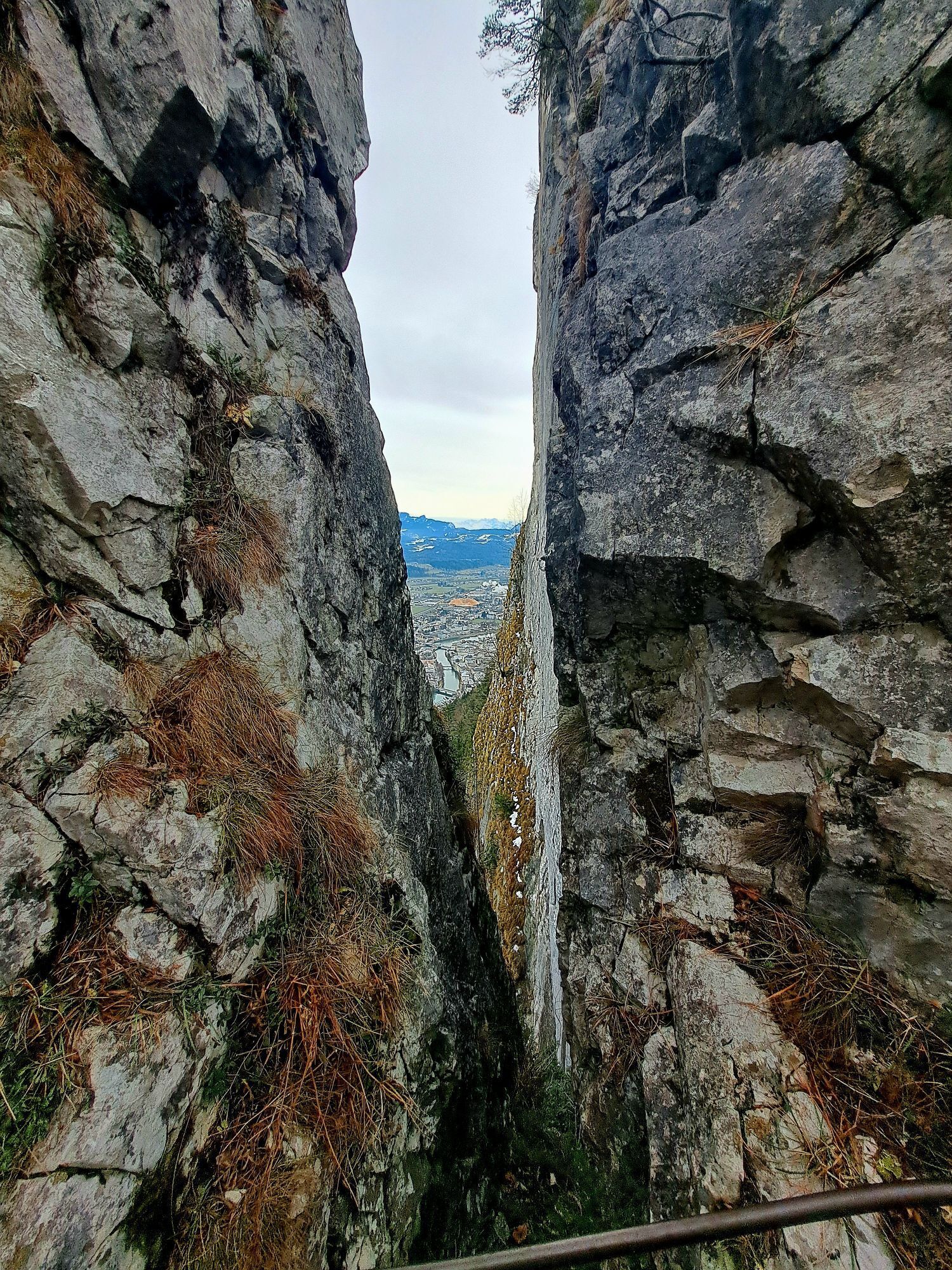
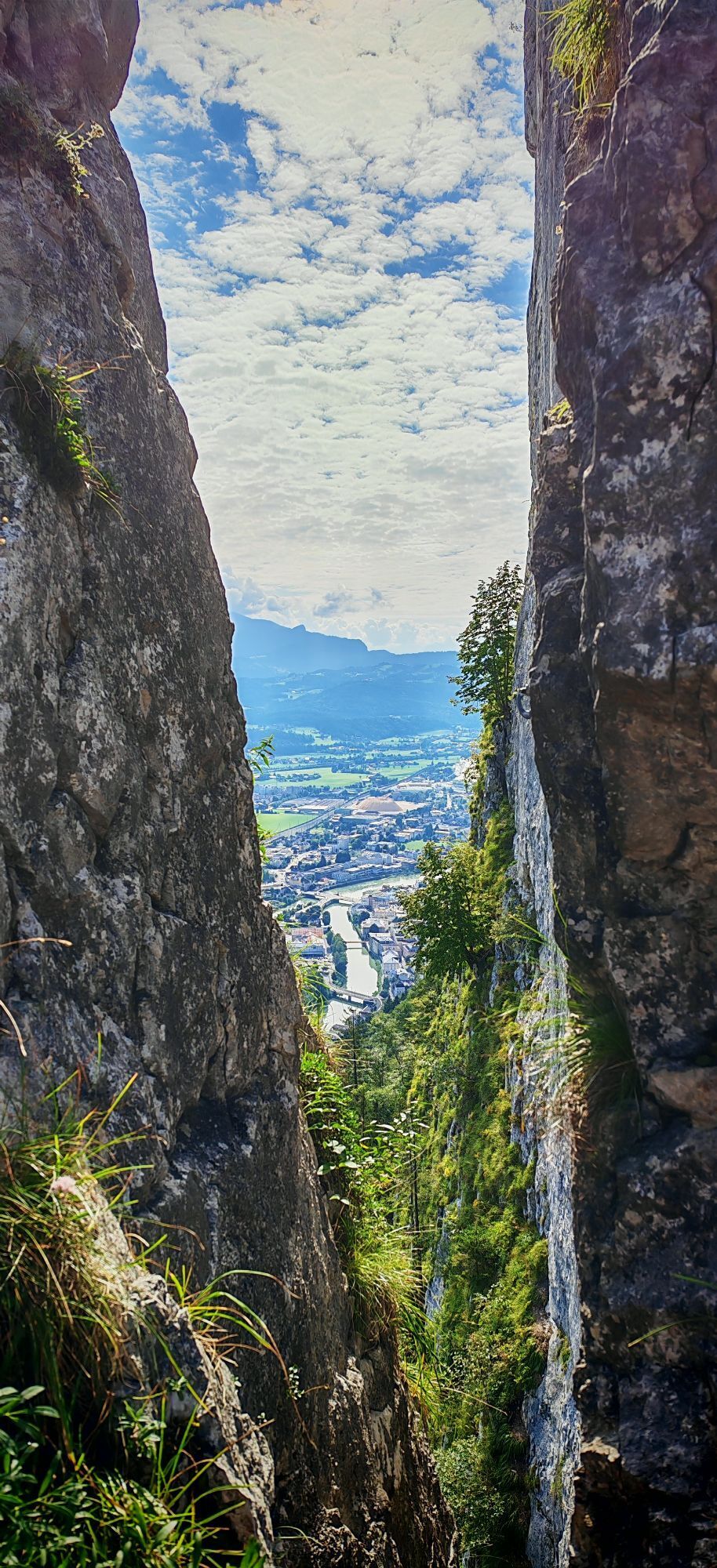
WARNING: This part of the hike is really only recommended for experienced, sure-footed, and fearless hikers! The path here is partially secured with steel cables and exposed.
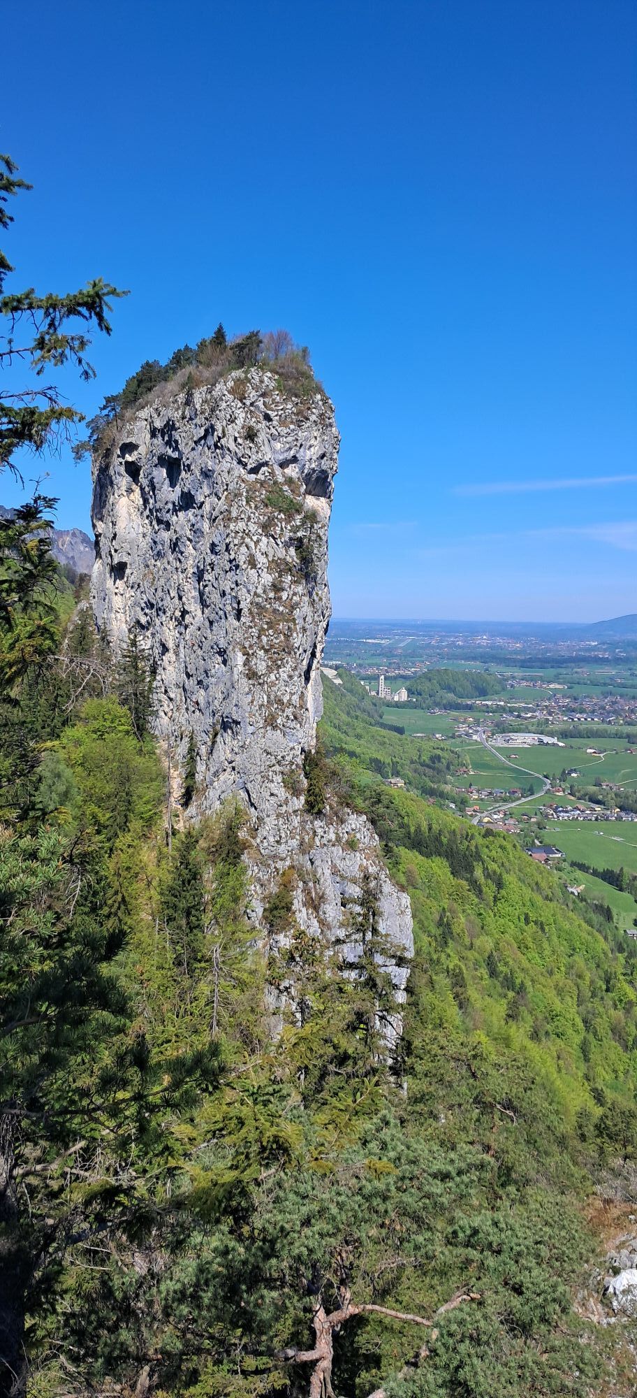
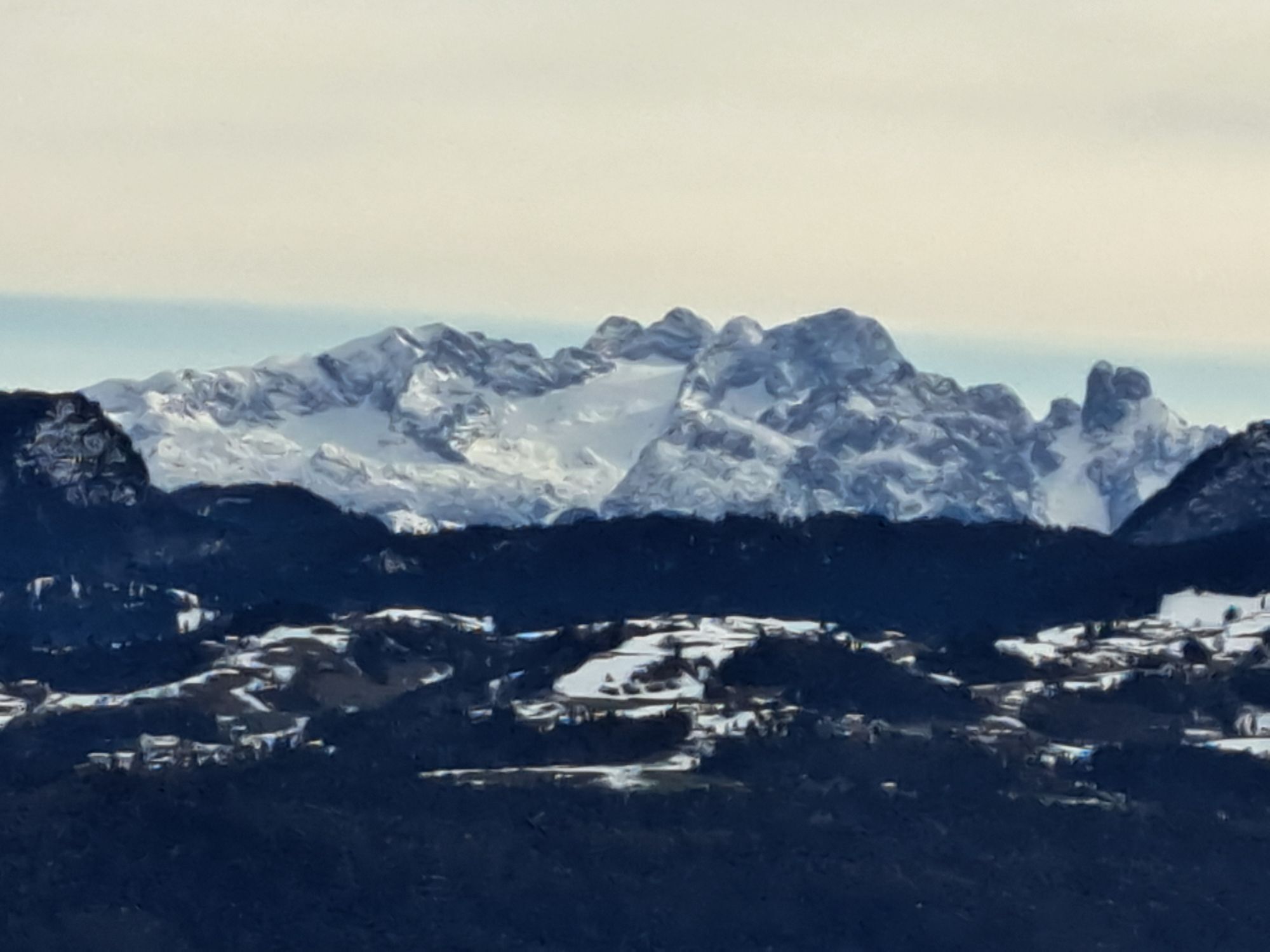
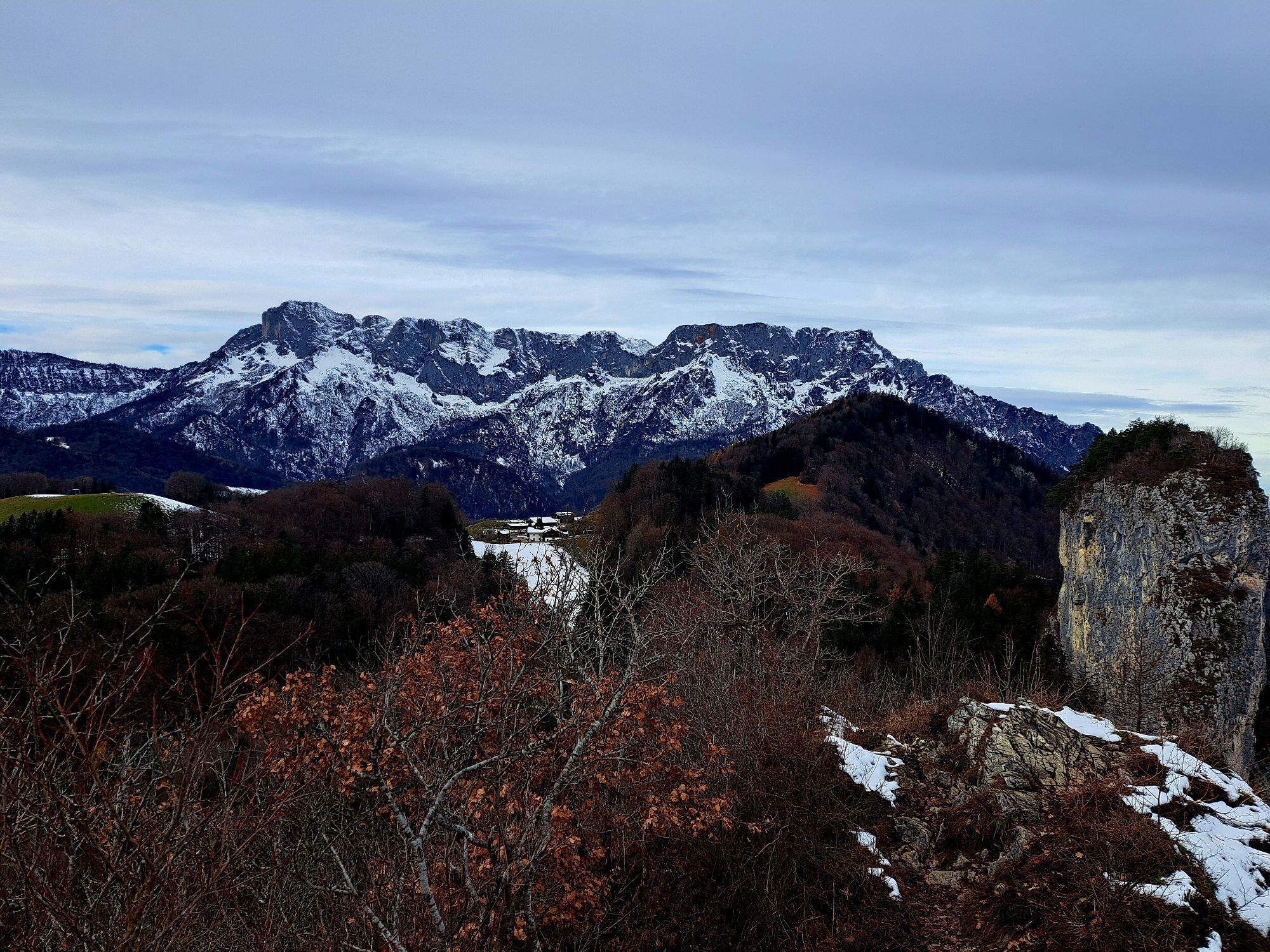
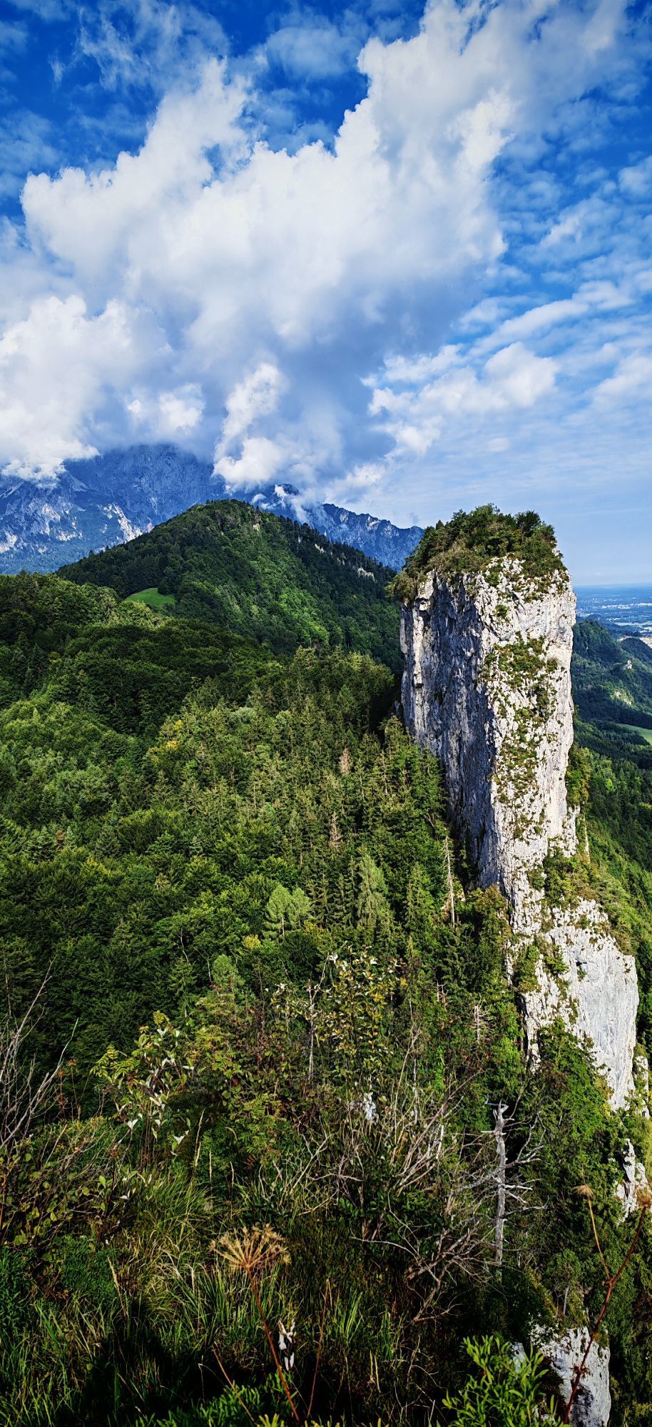
Once at the top, a breathtaking 360° view of the Austrian and Bavarian mountains awaits us. To the north, the view extends all the way to Salzburg and the Hohensalzburg fortress; to the south, we look toward Hallein, and even the Dachstein glacier and the Hagen mountains can be seen from here. The return path follows the already known route.
Da
Da
Da
Sturdy footwear and surefootedness are absolutely required on this hike.
The hike to the Kleiner Barmstein is easy to walk up to the foot of the Kleiner Barmstein even for inexperienced hikers. However, the last part of the hike is only recommended for alpine-experienced people because we are partly in very exposed terrain here, which is secured with steel cables at the key points.
Please always remember that the hikes described here take place in the mountains, in nature, and partly in alpine terrain. Our content has been compiled with great care, but liability is expressly excluded. Risks can never be completely excluded and use of all information and tour descriptions is at your own risk!
On the Tauern motorway (A10) take the Hallein exit (Exit 16) towards Hallein city center. We follow the signs "Zentrum", turn right onto Pernerinsel on the city bridge, and then continue towards Bad Dürrnberg. After a sharp right curve, we follow the road uphill and park our car along the road after the avalanche gallery.
Parking available on the road from Hallein to Bad Dürrnberg - after the avalanche gallery along the street (right side).
Info and tips on hiking in Hallein:
http://www.hallein.com/erlebnis-sport/wandern
Information on the Thürndl ruin and the Barmsteine:
From the Kleiner Barmstein, you enjoy a magnificent view of Hallein, the Pernerinsel, and on clear days you can also see Hohensalzburg Fortress.


Spletne kamere s turneje
Pridobite vpogled
Vedno v živo na mestu z več kot 9.500 spletnimi kamerami. bergfex Kot uporabnik Pro si lahko zdaj ogledate ustrezne spletne kamere za številne izlete v aplikaciji izleti iz. Tako si lahko neposredno ogledate trenutne razmere.
Dejavnosti na poti
-

Kleiner Barmstein, Salzburg/Österreich
04.08.2026 – Pohodništvo -
Hallein, Salzburg/Österreich
07.06.2026 – Pohodništvo -

Hallein, Salzburg/Österreich
15.04.2026 – Pohodništvo -
Hallein, Salzburg/Österreich
22.03.2026 – Pohodništvo -

Hallein, Salzburg/Österreich
14.03.2026 – Gorski pohodništvo -
Hallein, Salzburg/Austria
14.12.2024 – Visokogorska tura
Priljubljeni izleti v okolici
-
4.7
Schwarzer Berg / Golling
srednjaPohodništvo 2.54 km -
4.6
Kneifelspitze
Pohodništvo 2.53 km -
4.0
Malerwinkel Rundwanderweg
svetlobaPohodništvo 3.60 km -
4.1
Durch die Almbachklamm nach Ettenberg
Pohodništvo 7.54 km -
4.6
Grünstein
svetlobaPohodništvo 2.57 km -
4.5
Alpgarten-Rundweg
Pohodništvo 2.93 km -
4.2
Untersberg, Toni-Lenz-Hütte
Pohodništvo 4.86 km -
4.8
Great and Small Barmstein, the landmarks of Hallein
težkoPohodništvo 6.58 km -
3.9
Rundwanderweg zur Steinernen Agnes
Pohodništvo 9 km -
4.4
From Koppl to the Gaisberg summit
srednjaPohodništvo 9.86 km
Pohodništvo in sledenje


Ne zamudite ponudb in navdiha za naslednje počitnice
Vaš e-poštni naslov je bil dodan na poštni seznam.





