


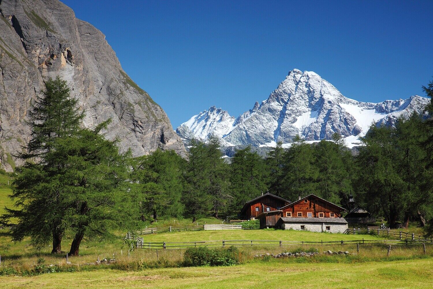
Around the Großglockner in 7 days


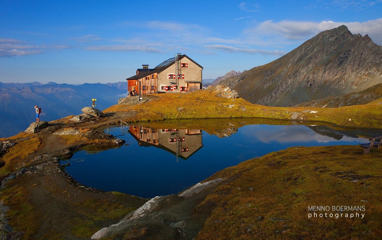
Stage 1 : Kaprun Stausee Mooserboden- Berghotel Rudolfshütte Stage 2 : Berghotel Rudolfshütte- Kalser Tauern- Gradötzsattel- Sudetendeutsche Hütte Stage 3 : Sudetendeutsche Hütte- Hohes Tor- Kals Stage...
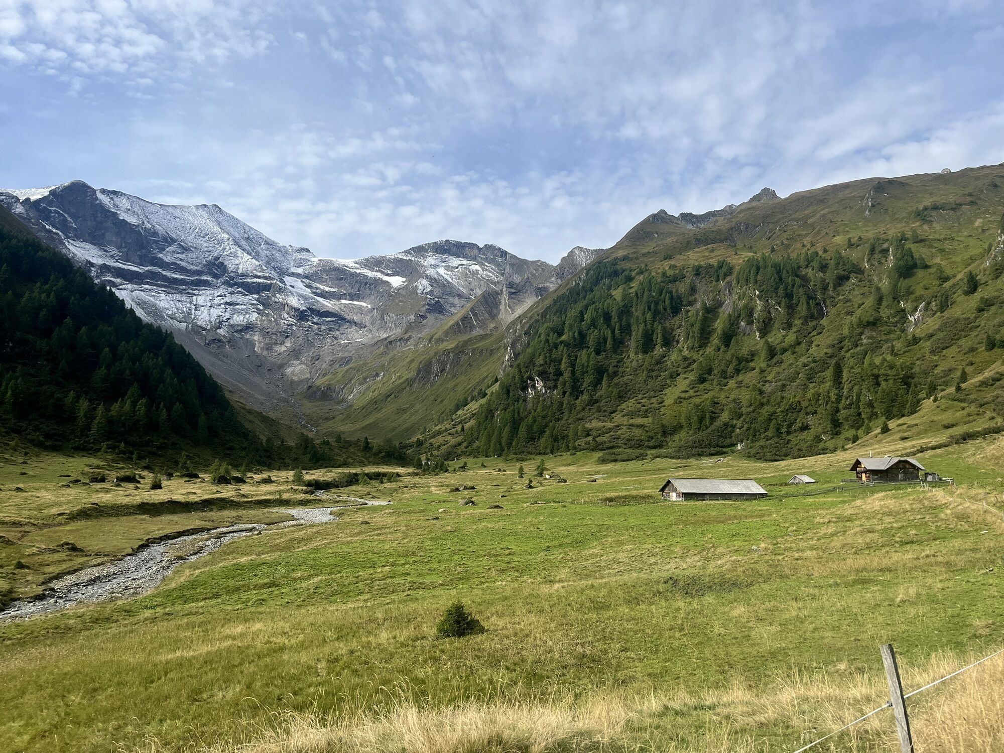
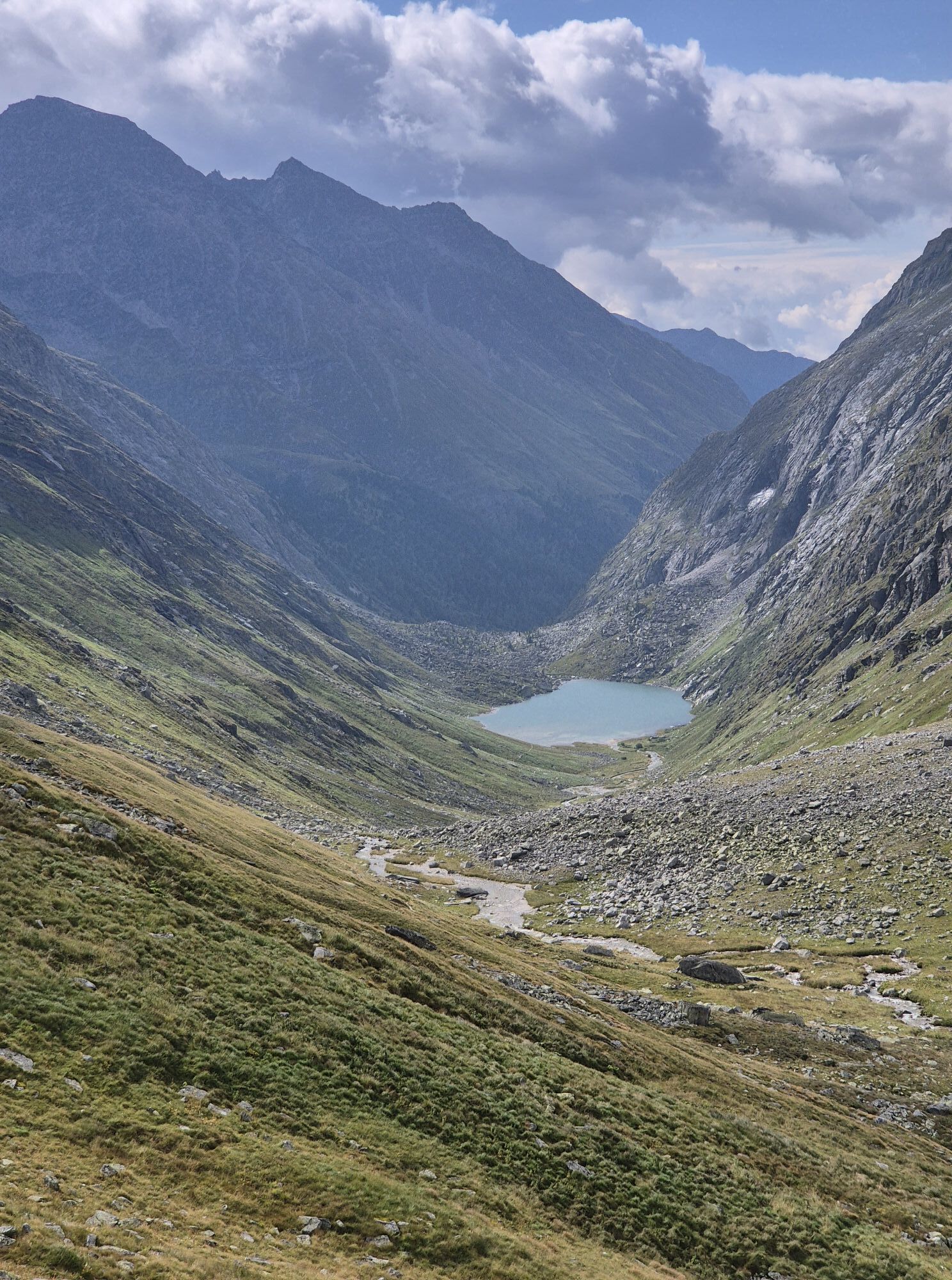
In 7 stages from Kaprun to Kals by the Grossglockner and via the Glocknerhaus and Fusch back to Kaprun.
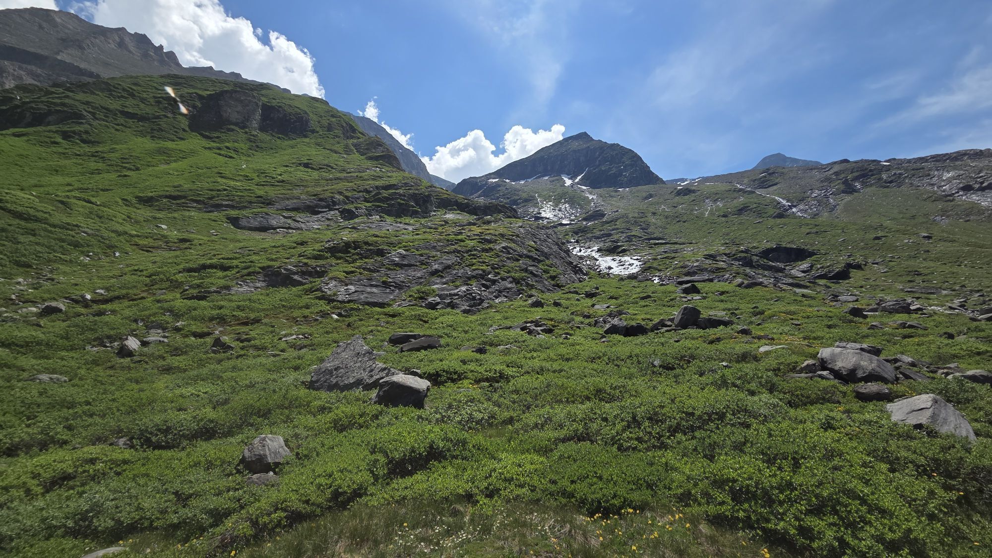
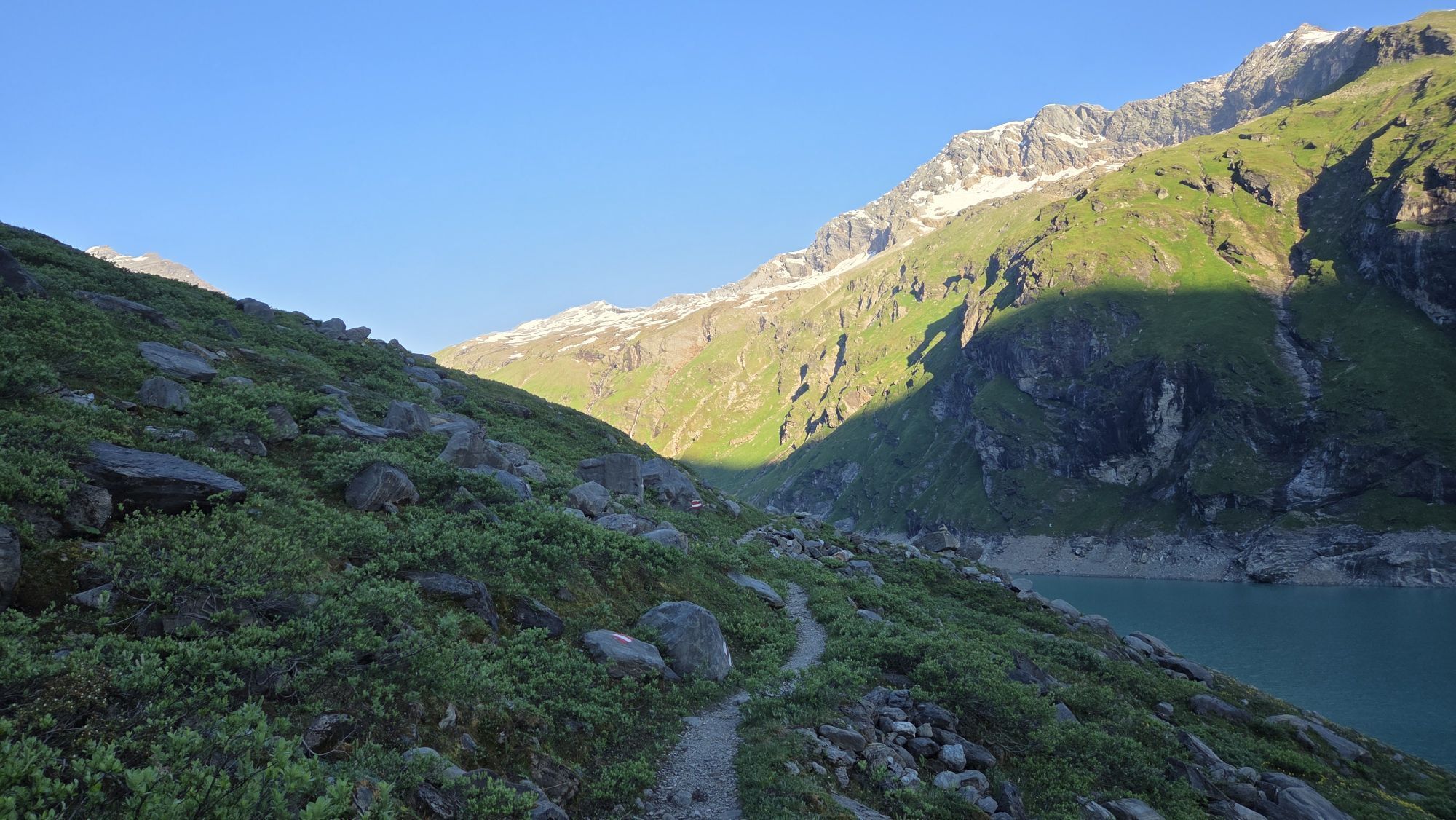
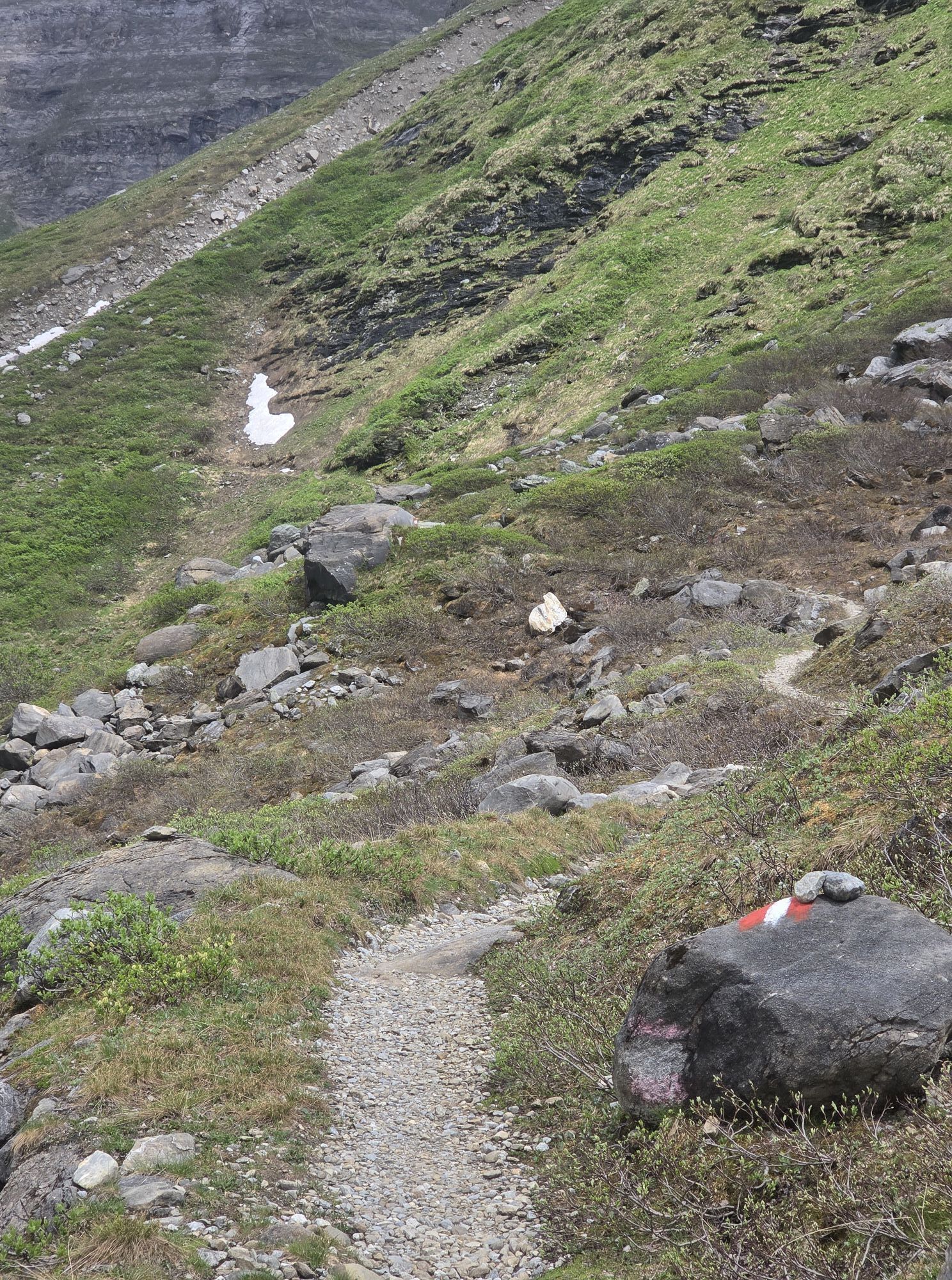
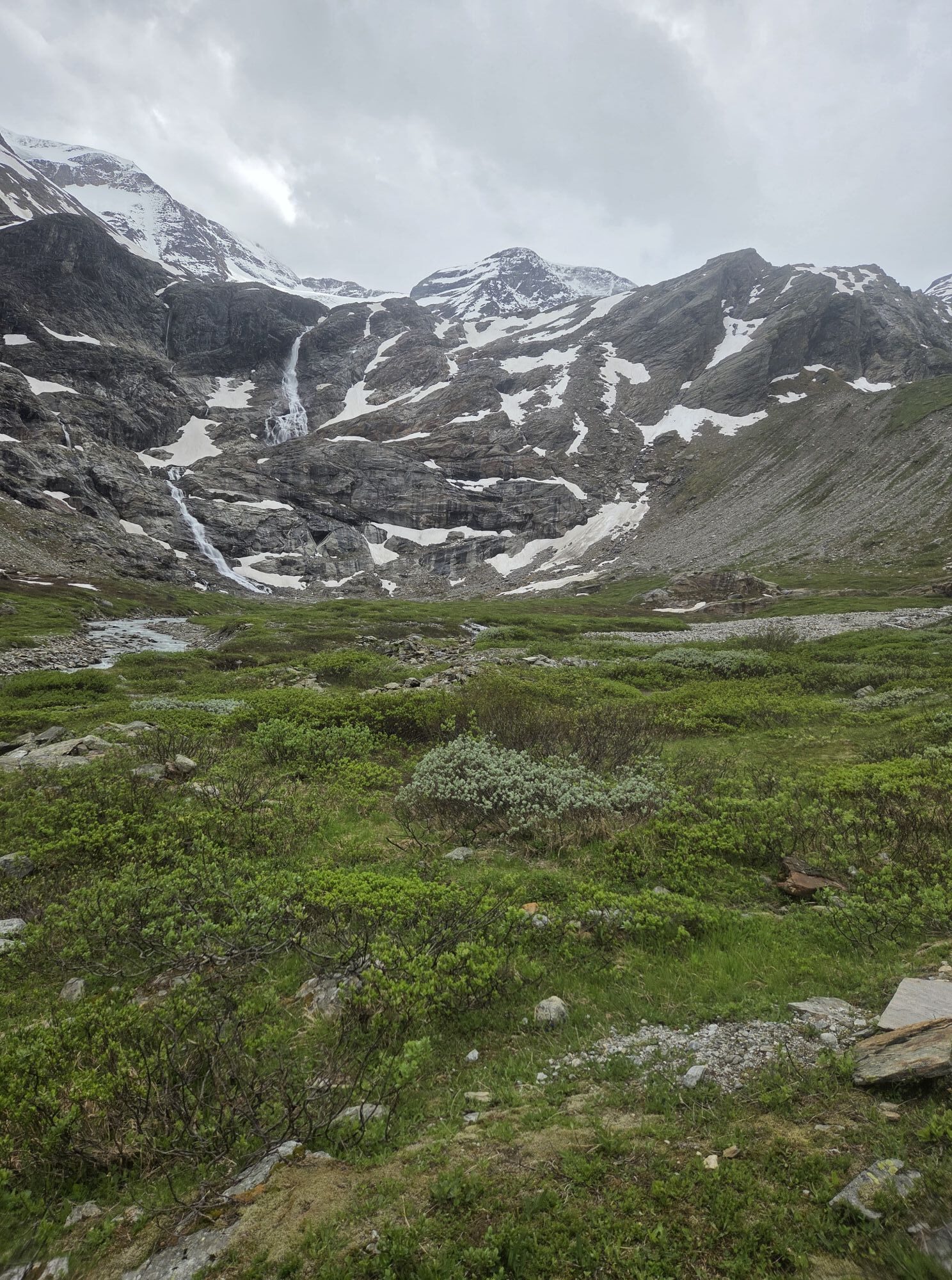
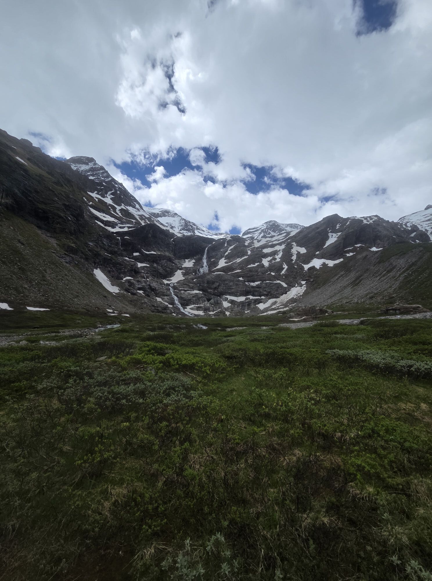
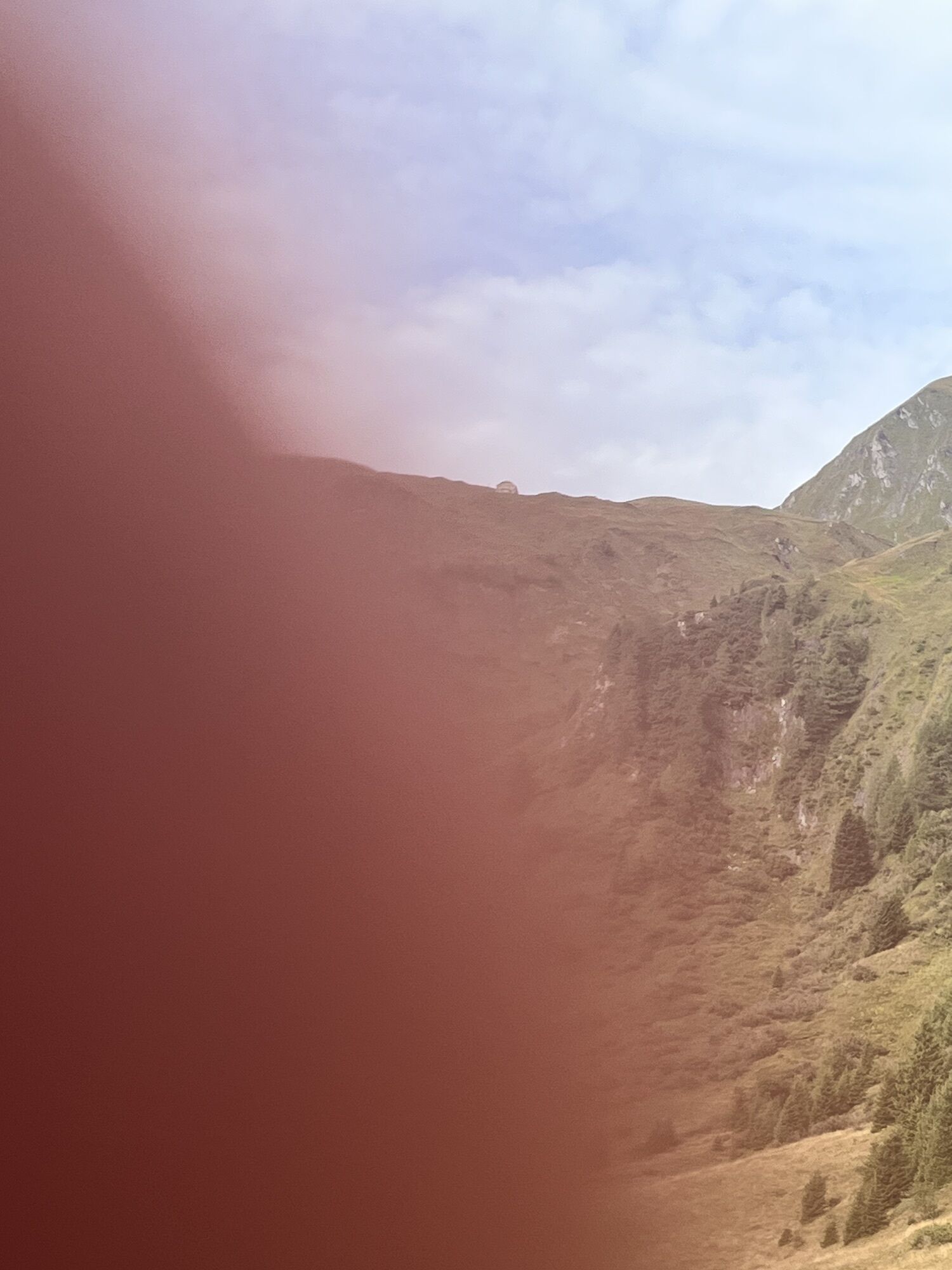
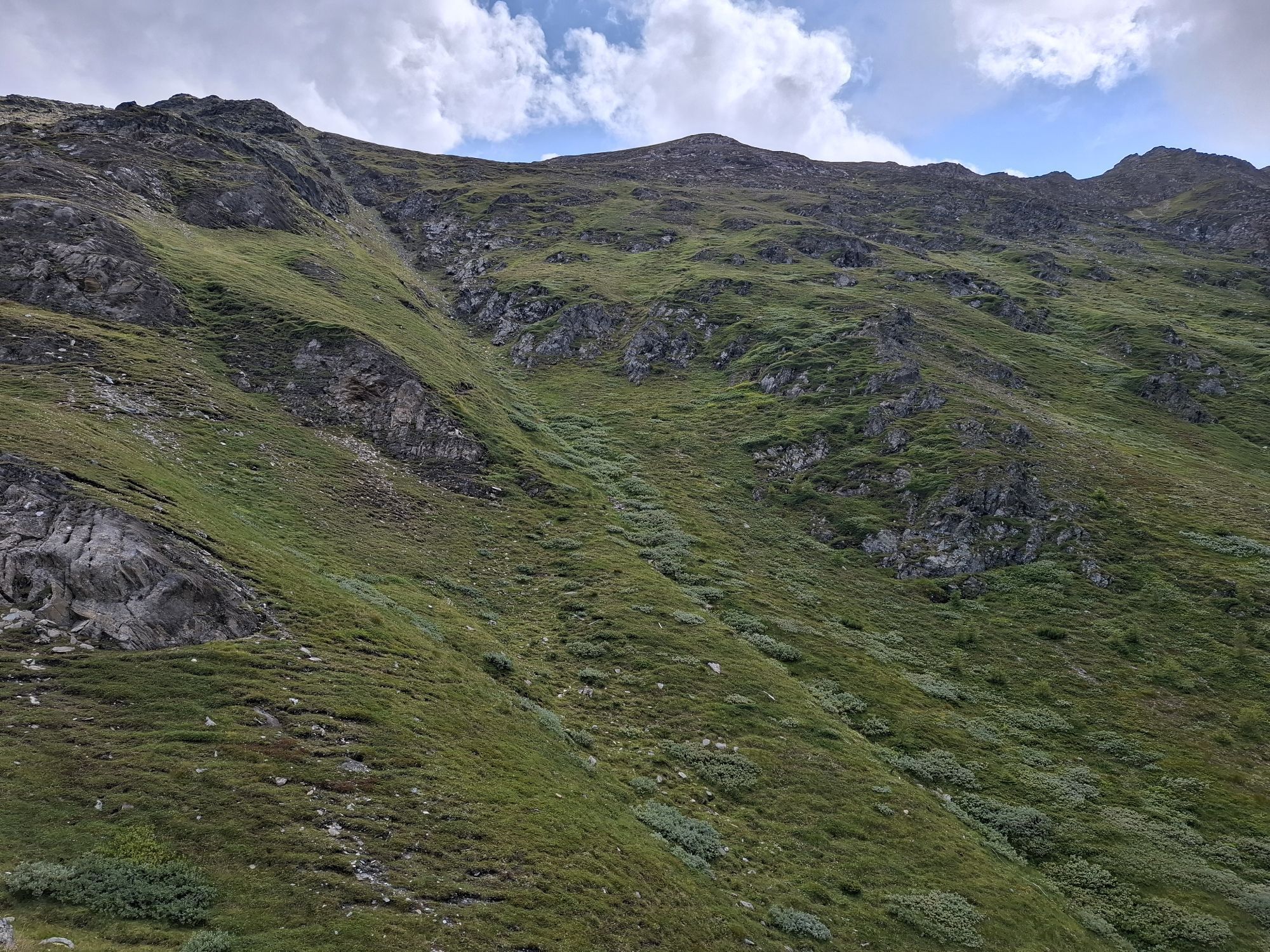
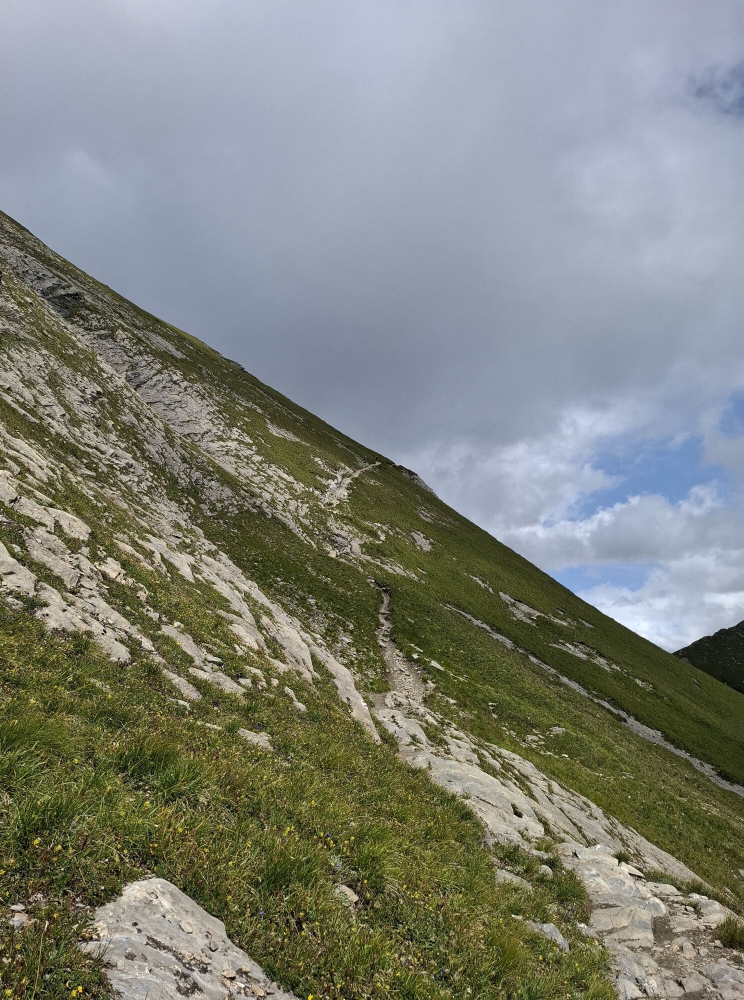
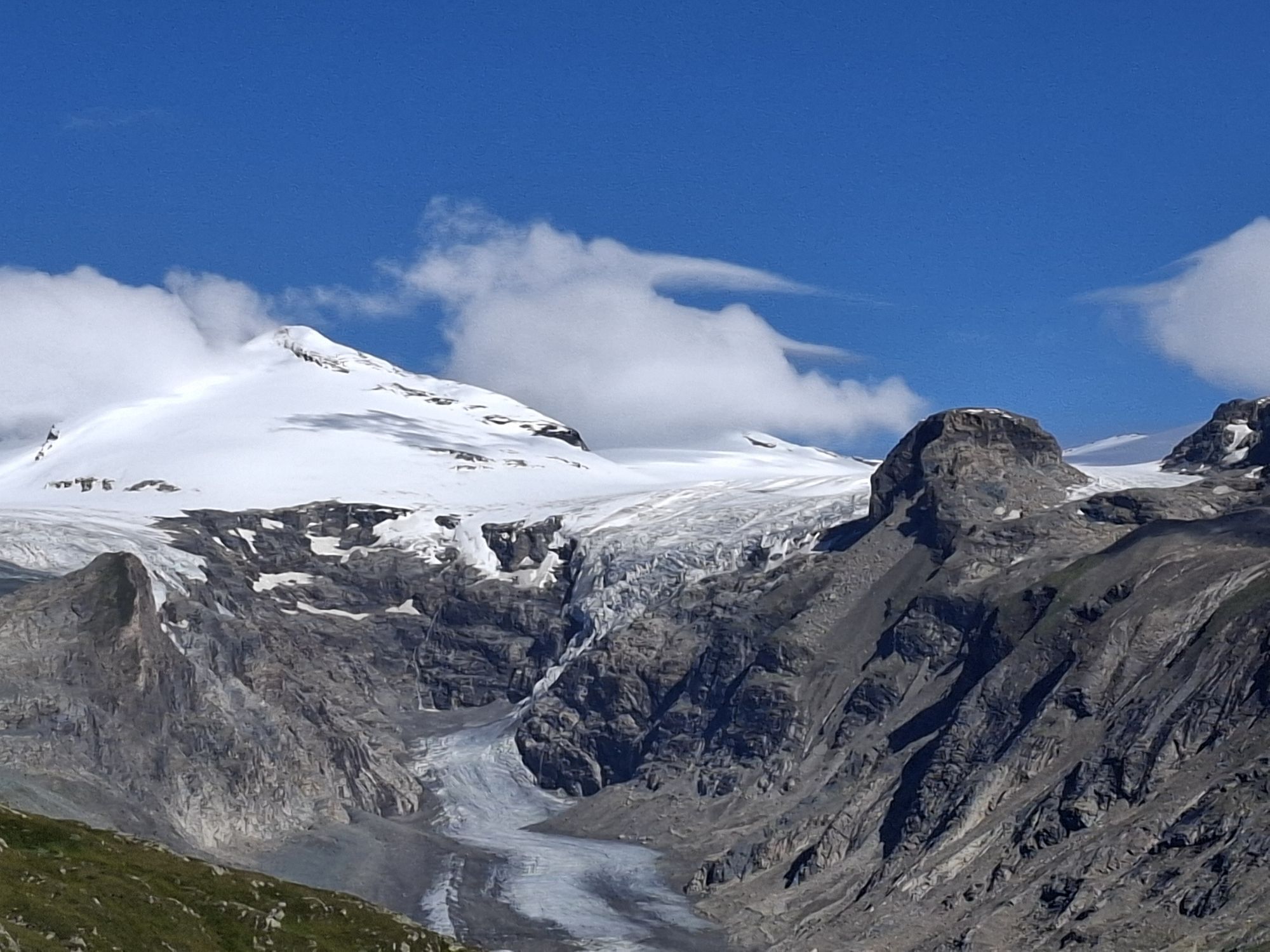
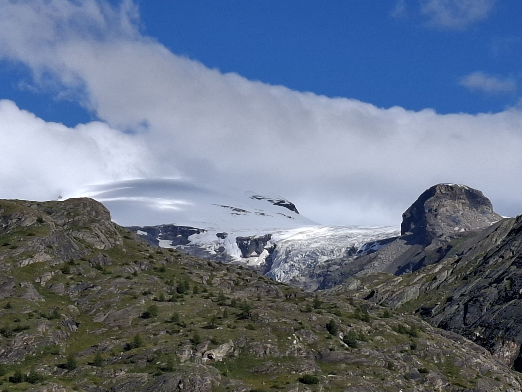
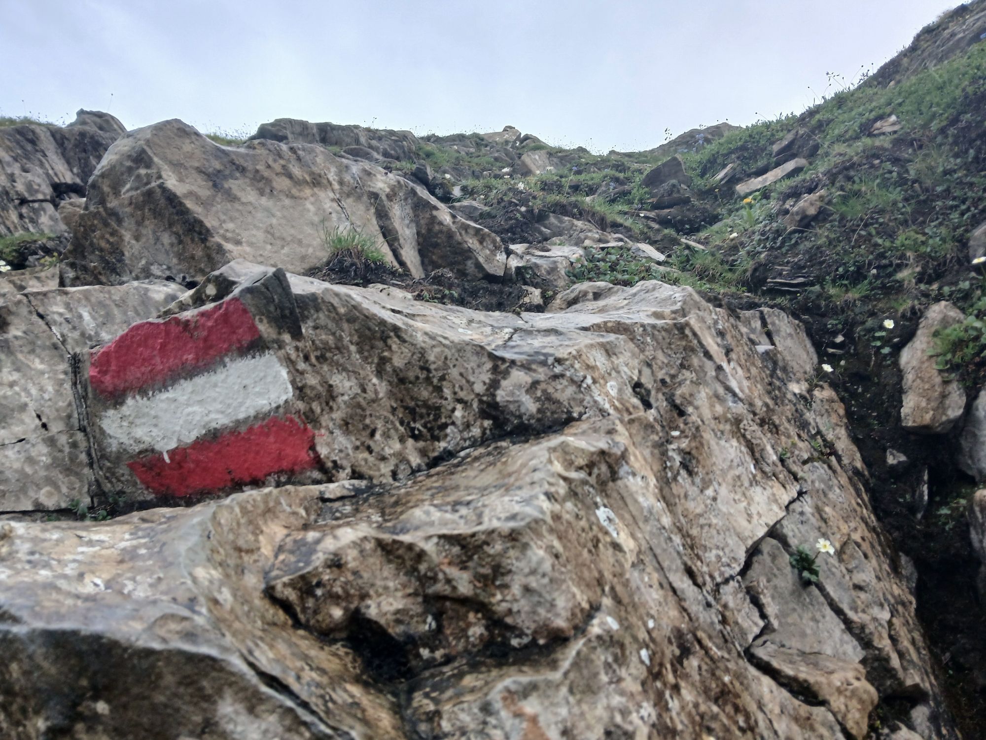
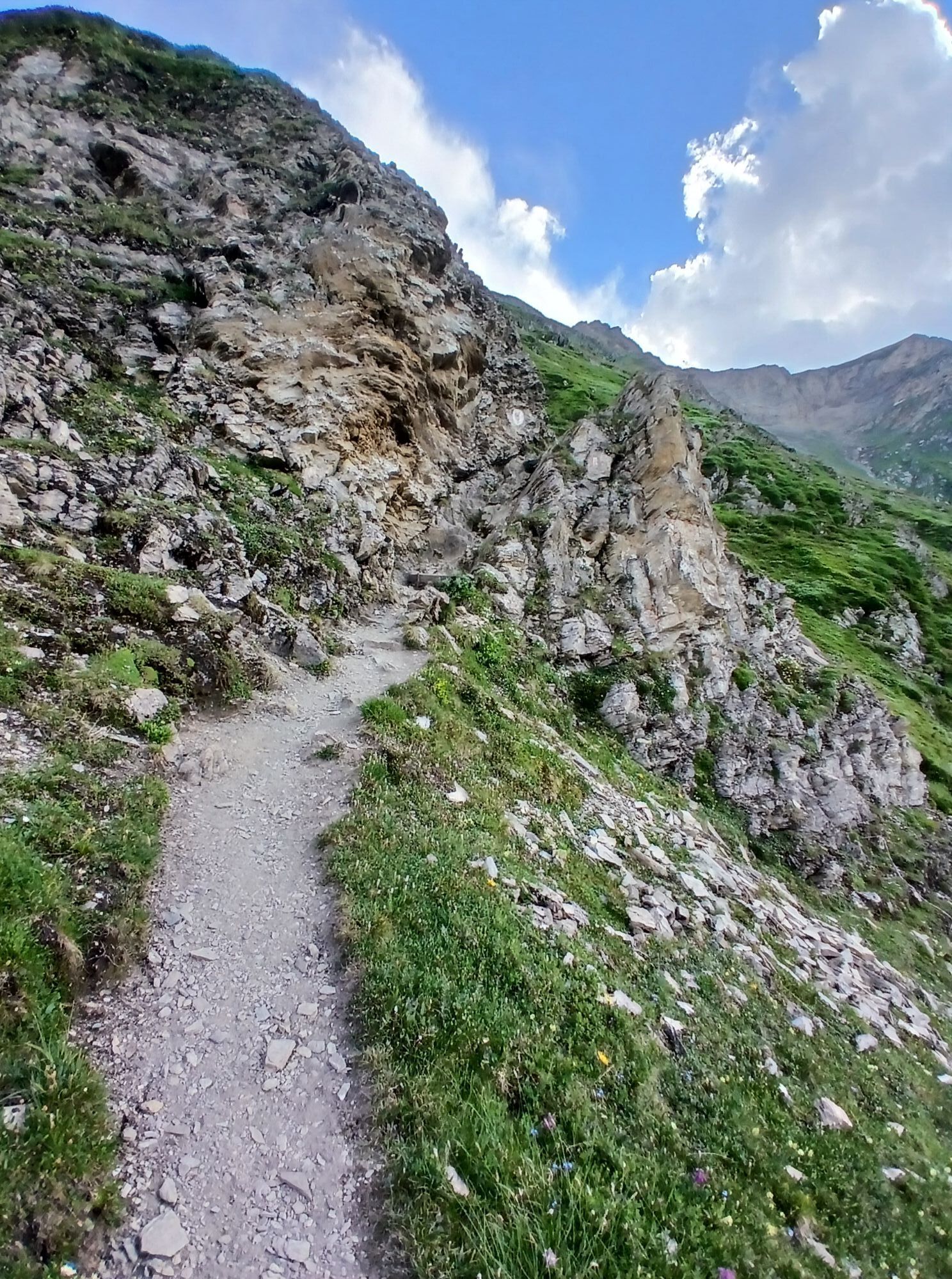
The tour mainly spans high alpine terrain but can be negotiated by anyone with some alpine experience and corresponding fitness and equipment, as there are no glaciers or roping sections along the circuit. A head for heights and surefootedness are necessary.
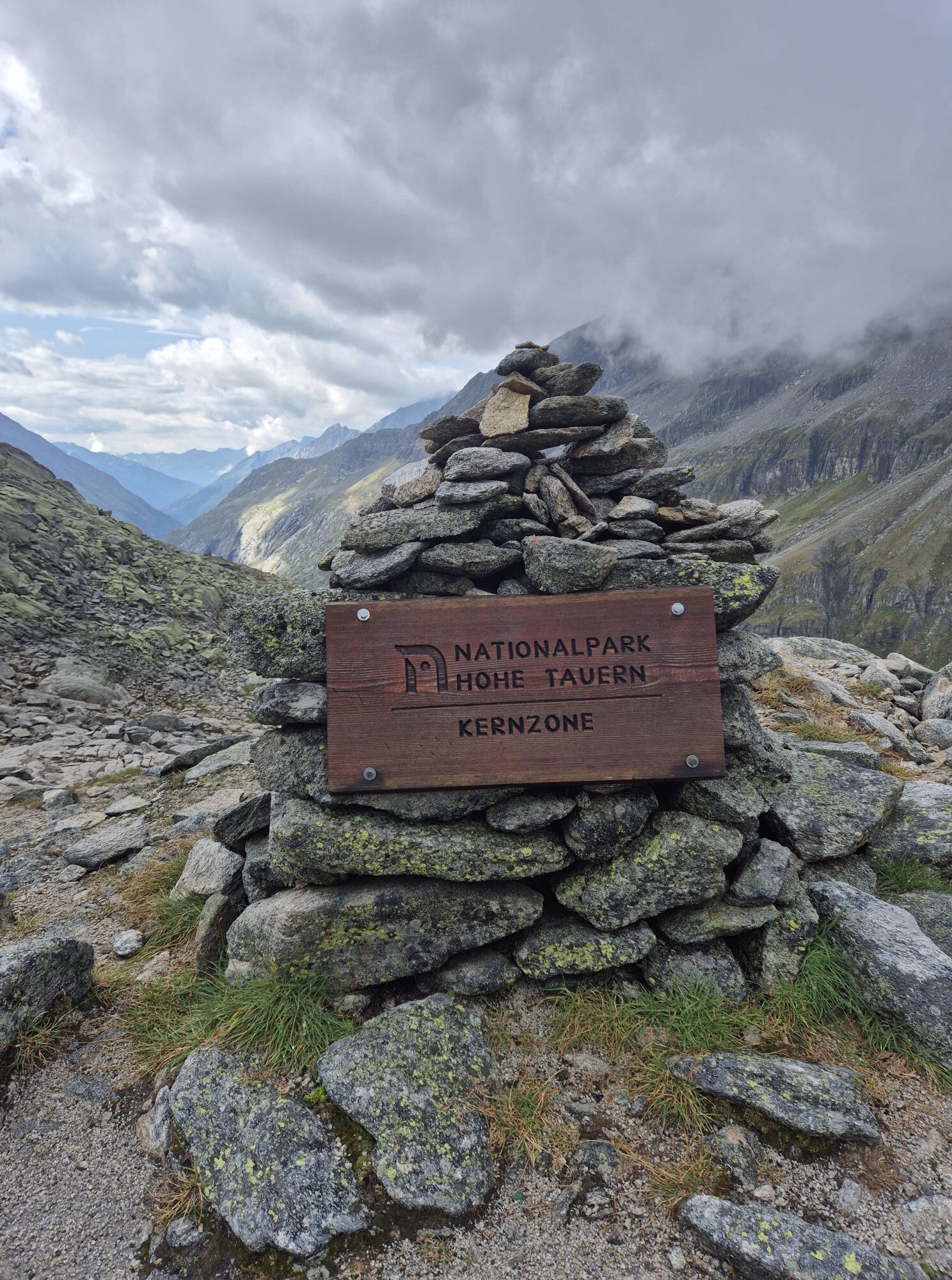
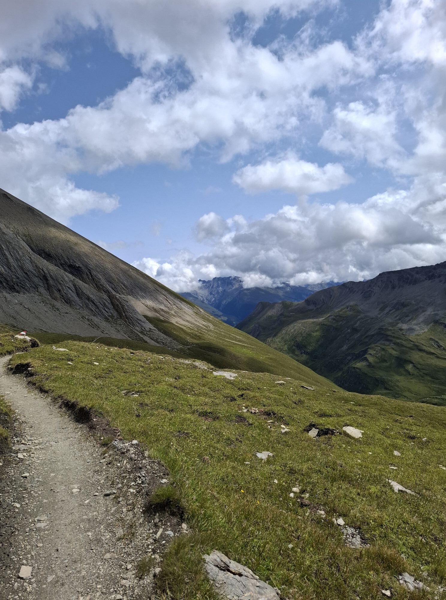
Each day’s stage of the Grossglockner Circuit takes you along existing paths and mountain trails. When designing the trekking route, care was taken to ensure that no glaciers had to be crossed or rock sections negotiated with ropes. Nevertheless, the Glockner Circuit does take you right into high alpine country with corresponding risks and hazards! In addition to good equipment and a close eye on the weather situation , alpine experience, fitness and surefootedness are basic requirements for completing the circuit safely while also enjoying it. For each day’s stage, you will need to be able to cope with altitude differences totalling up to 3,000 m (ascents anddescents) and a total walking time (not counting breaks!) of up to 8 hours.
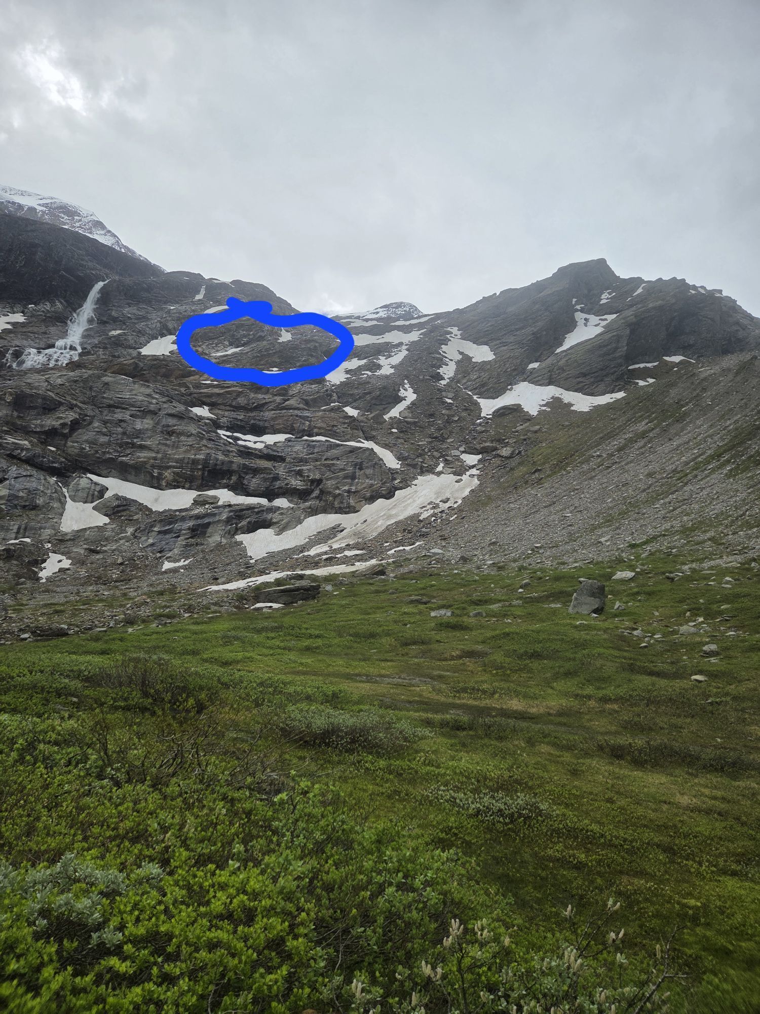
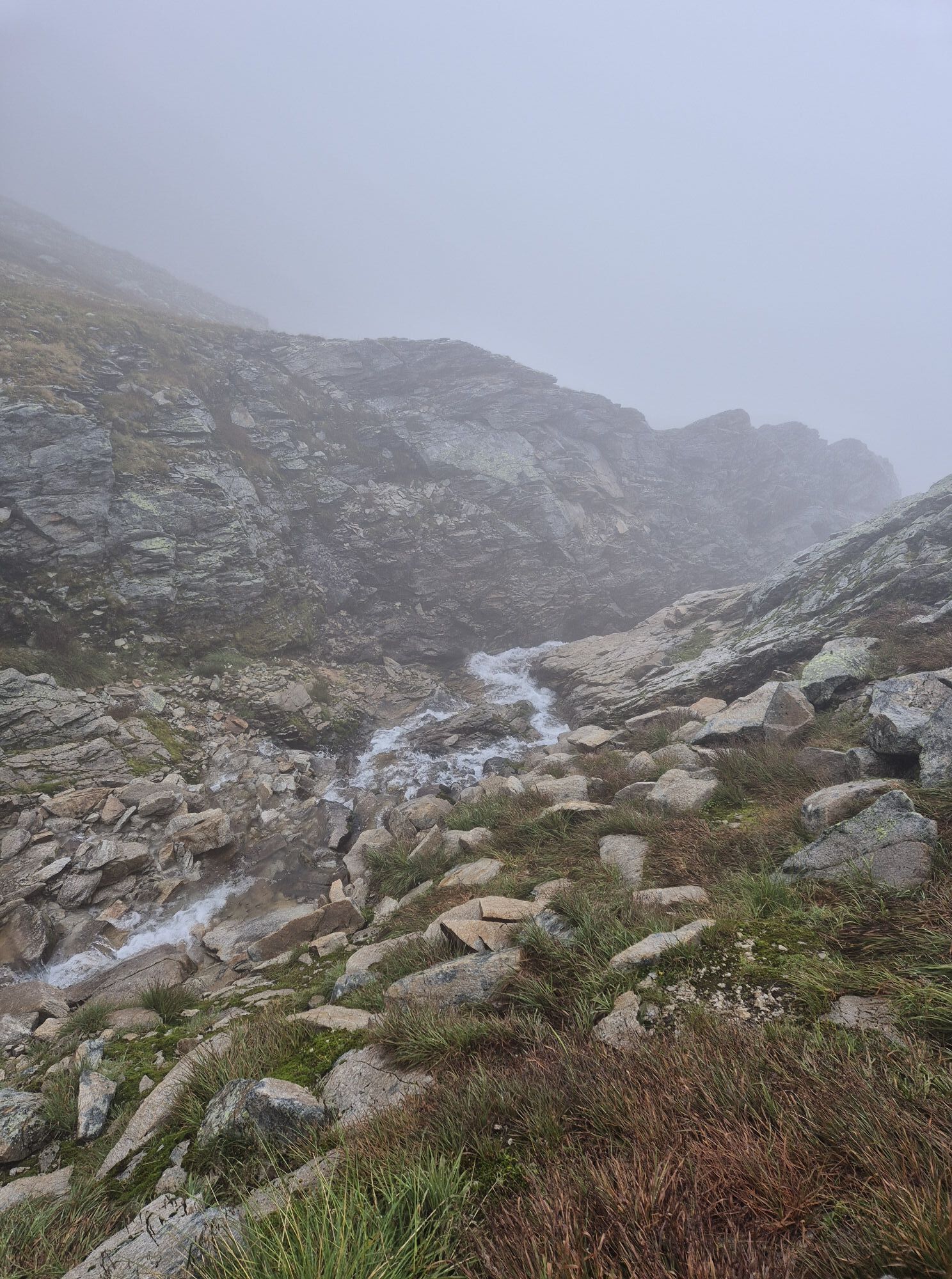
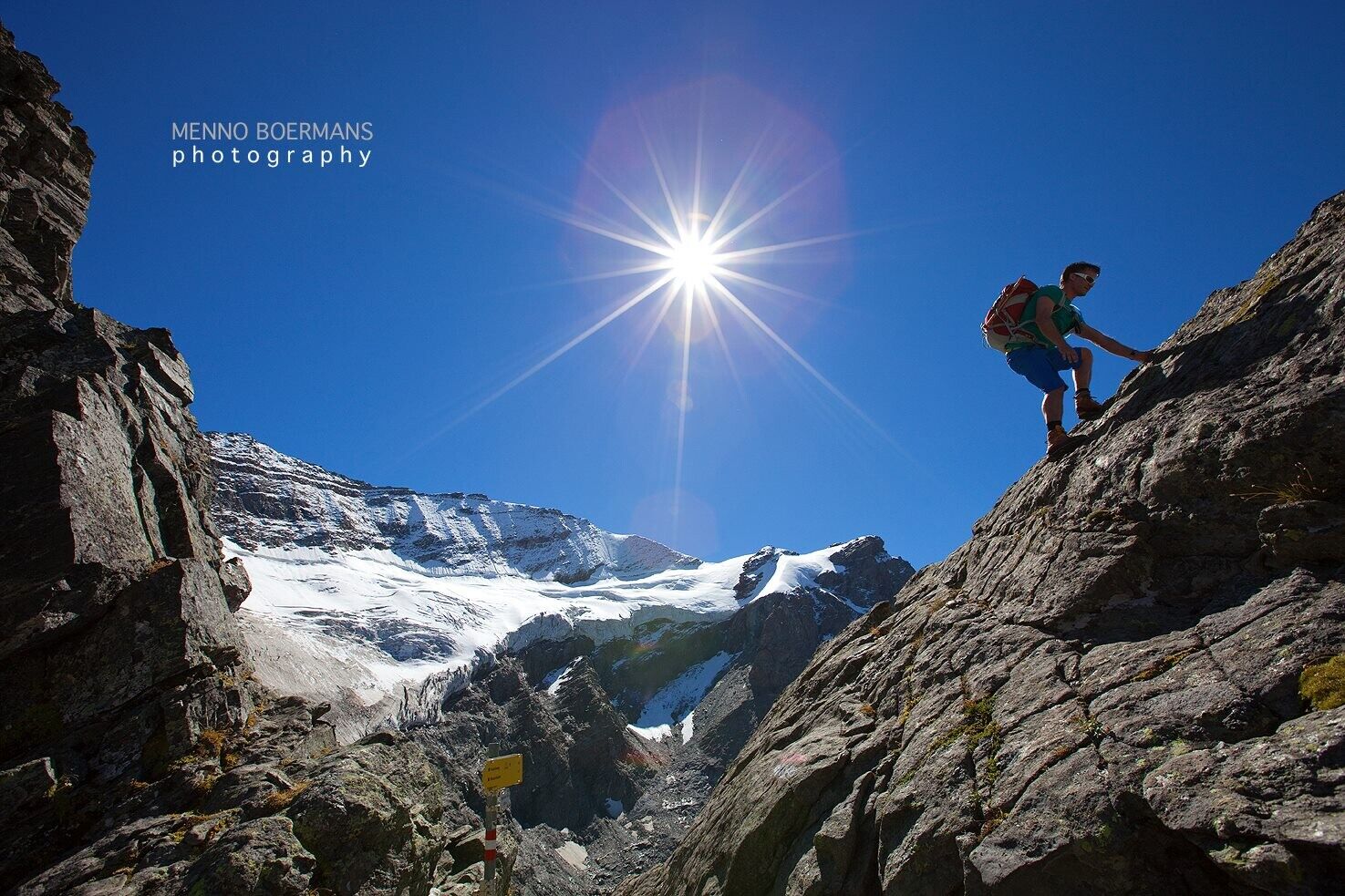
It is imperative that less experienced mountain hikers are accompanied by a guide while completing the GlocknerCircuit. Even deep into summer (July!), crossing the hard-packed remains of old snowfields, particularly those located in deeply eroded gullies, presents a significant danger. Crampons or instep crampons are indispensable at this time of the year! 1 pair of hiking poles, if available1 hiking backpack approx. 35 lt. (the total weight with the contents should not exceed 12 kg)1 pair of Mountain hiking boots or trekking boots with good tread1 pair of light slipper socks for your stay in the lodges (or old socks)1 pair of light crampons or “instep crampons” for ascent in early summer1 map ÖAV map sheet Glockner Group and Granatspitze Group 1:25.000 or KOMPASS map Nationalpark Hohe Tauern (set of 3 Grossvenediger, Grossglockner, Ankogel) 1:50.000
Von der Tauernautobahn A10 an der Ausfahrt "Konten Pongau" ausfahren und der PInzgauer Straße B311 bis nach Schüttdorf (Gemeinde Zell am See) folgen. Anschließend nehmen Sie die Pinzgauer Bundesstraße Richtung Mittersill und nehmen im Fürther Kreisverkehr die dritte Ausfahrt nach Kaprun. Von dort aus sind die Stauseen bzw. die Bergbahnen Kitzsteinhorn bereits ausgewiesen.
Mit dem Zug nach Zell am See, ab da weiter mit dem Bus Nr. 660 bis zur Haltestelle Kaprun/Kesselfall. Mit eigenen Bus-Shutteln und dem Lärchwand-Schrägaufzug gelangen Sie bequem in 2.000 m Höhe zum Stausee Mooserboden. Aufgrund von einer langen Tagesetappe wird empfholen den ersten Bus am Morgen zu nehmen, dieser fährt um 08:15 Uhr.
Parking house Kesselfall. For free. Please inform the persons on the cash desk!
Landkarte ÖAV Kartenblatt Glocknergruppe und Granatspitzgruppe 1:25.000 oder KOMPASS Karte Nationalpark Hohe Tauern (3er-Set Großvenediger, Großglockner, Ankogel) 1:50.000
Spletne kamere s turneje
Sonnenkar
Gipfel Kitzsteinhorn
Alpincenter
Langwiedboden
Kaprun - Maiskogel
Fallbichl
Uttendorf
Uttendorf
Tauernmoossee
Großglockner - KFJ-Höhe
Lucknerhütte
Großglockner - Edelweißspitze
Großglockner - Fuschertörl
Mesenatenhütte, Wallackhaus
Matrei Bergstation Goldried
Matrei Bergstation Goldried
Kals - Gradonna
Berggasthaus Goldried
Freiwandeck
Mesenatenhütte, Wallackhaus
Kals am Großglockner
Kals am Großglockner
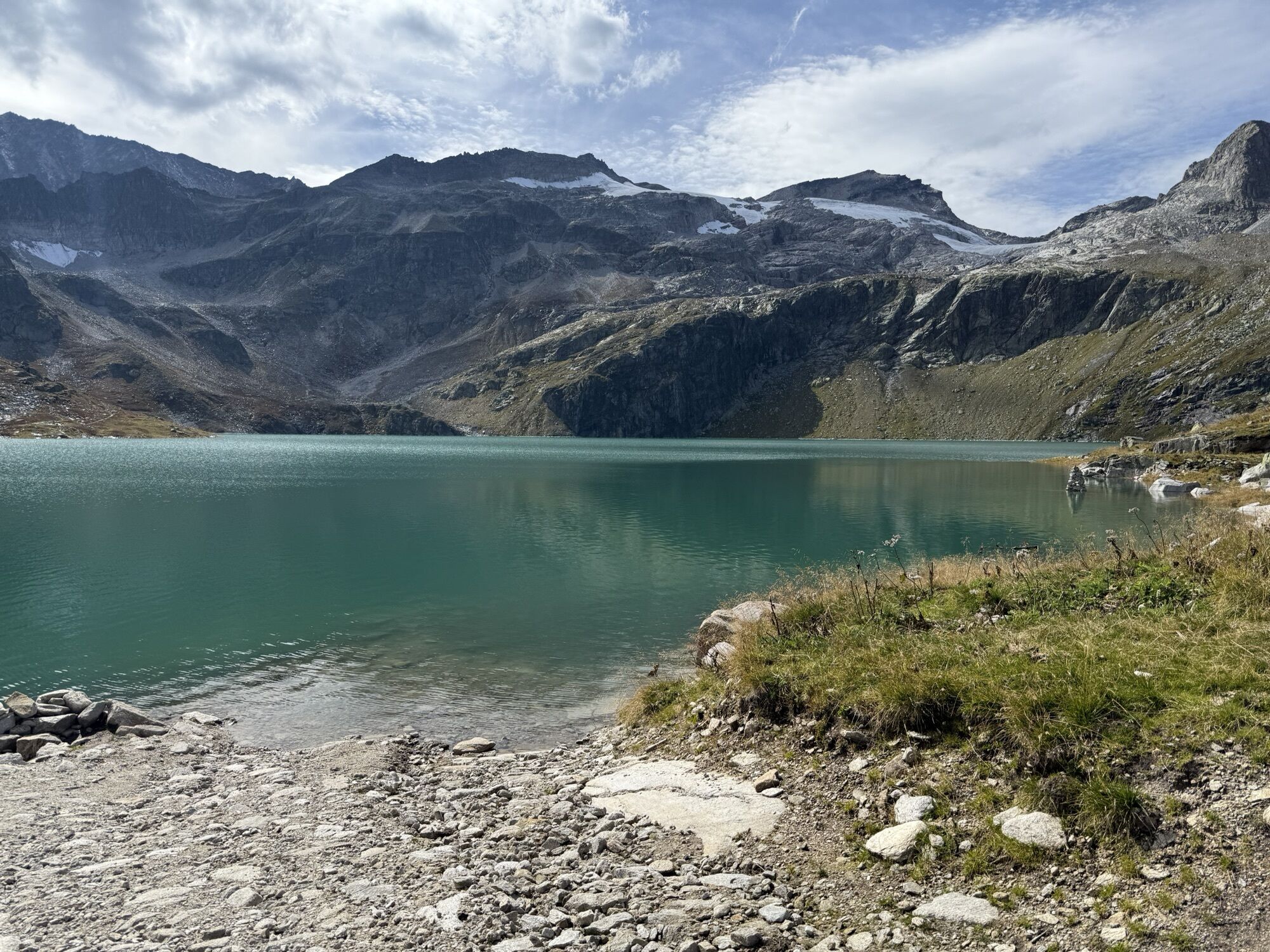
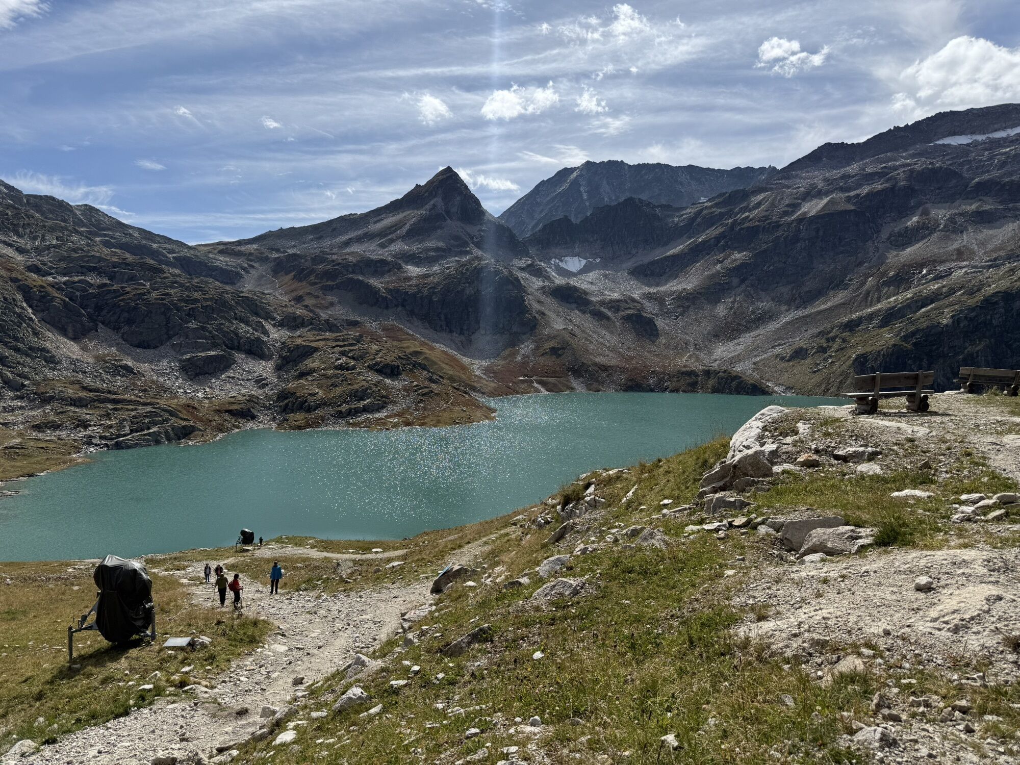
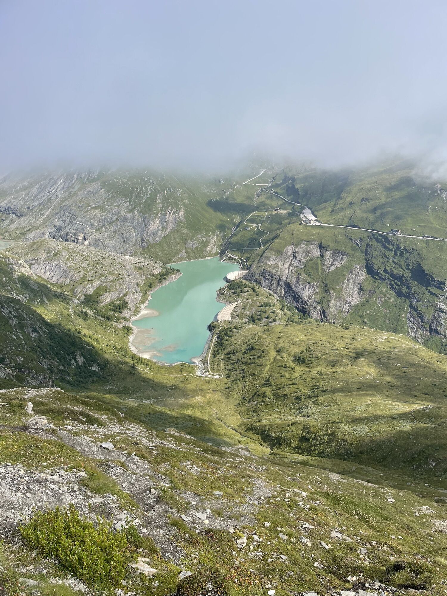
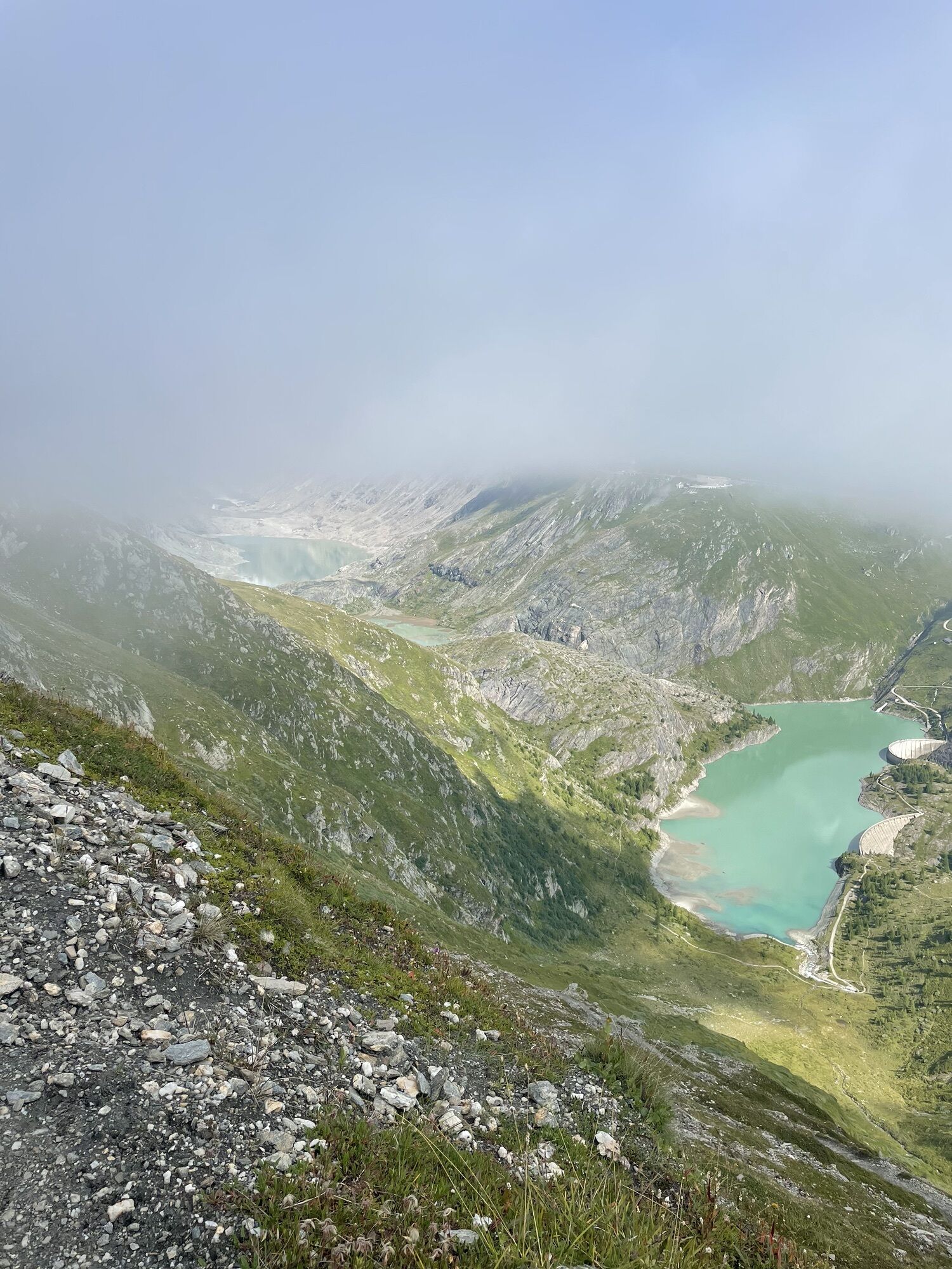
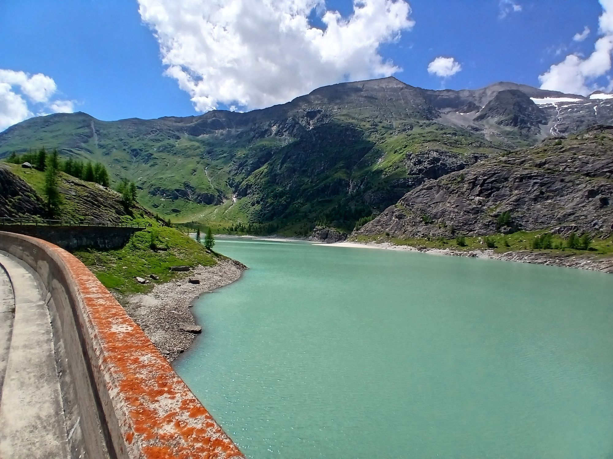
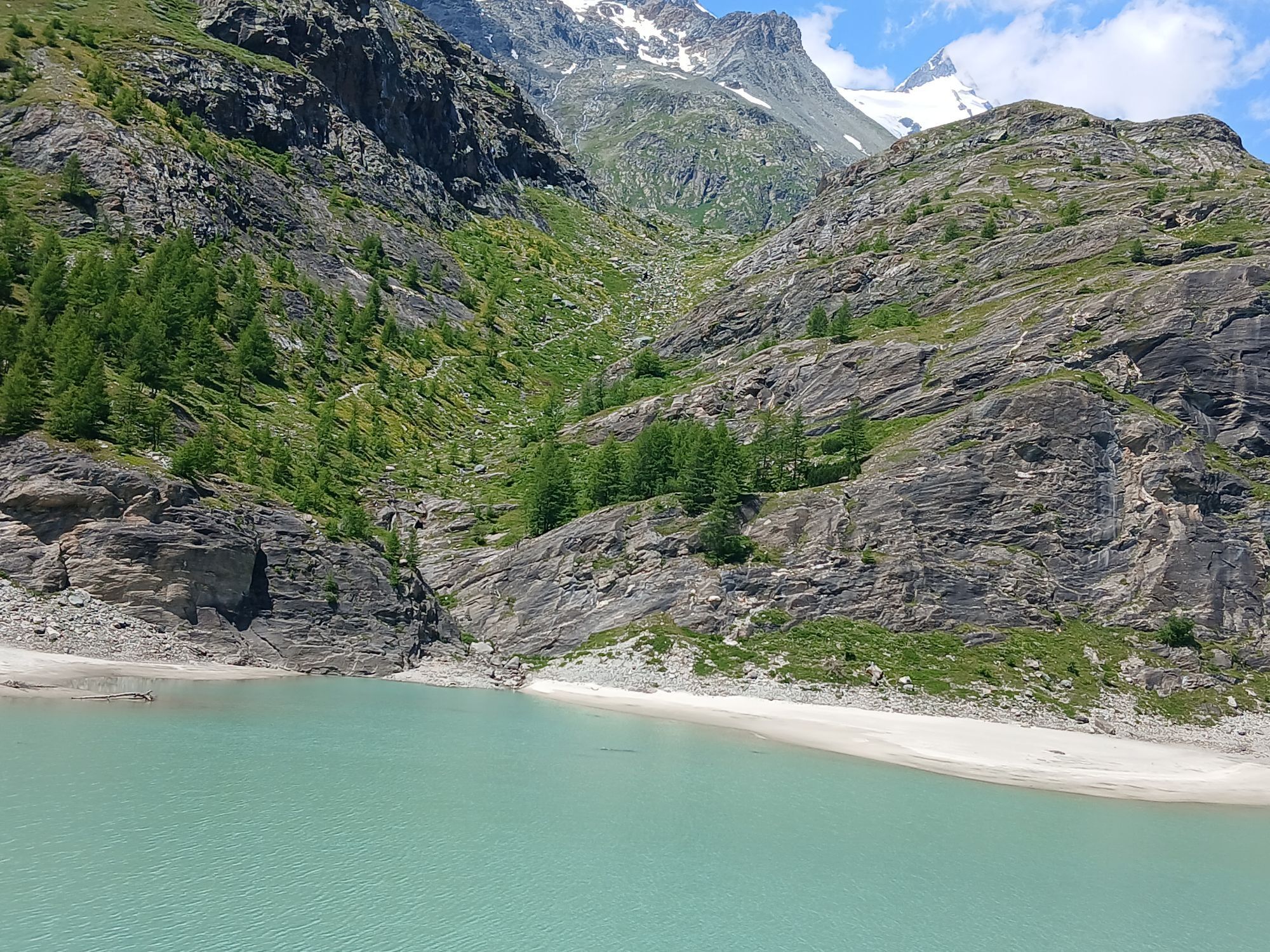
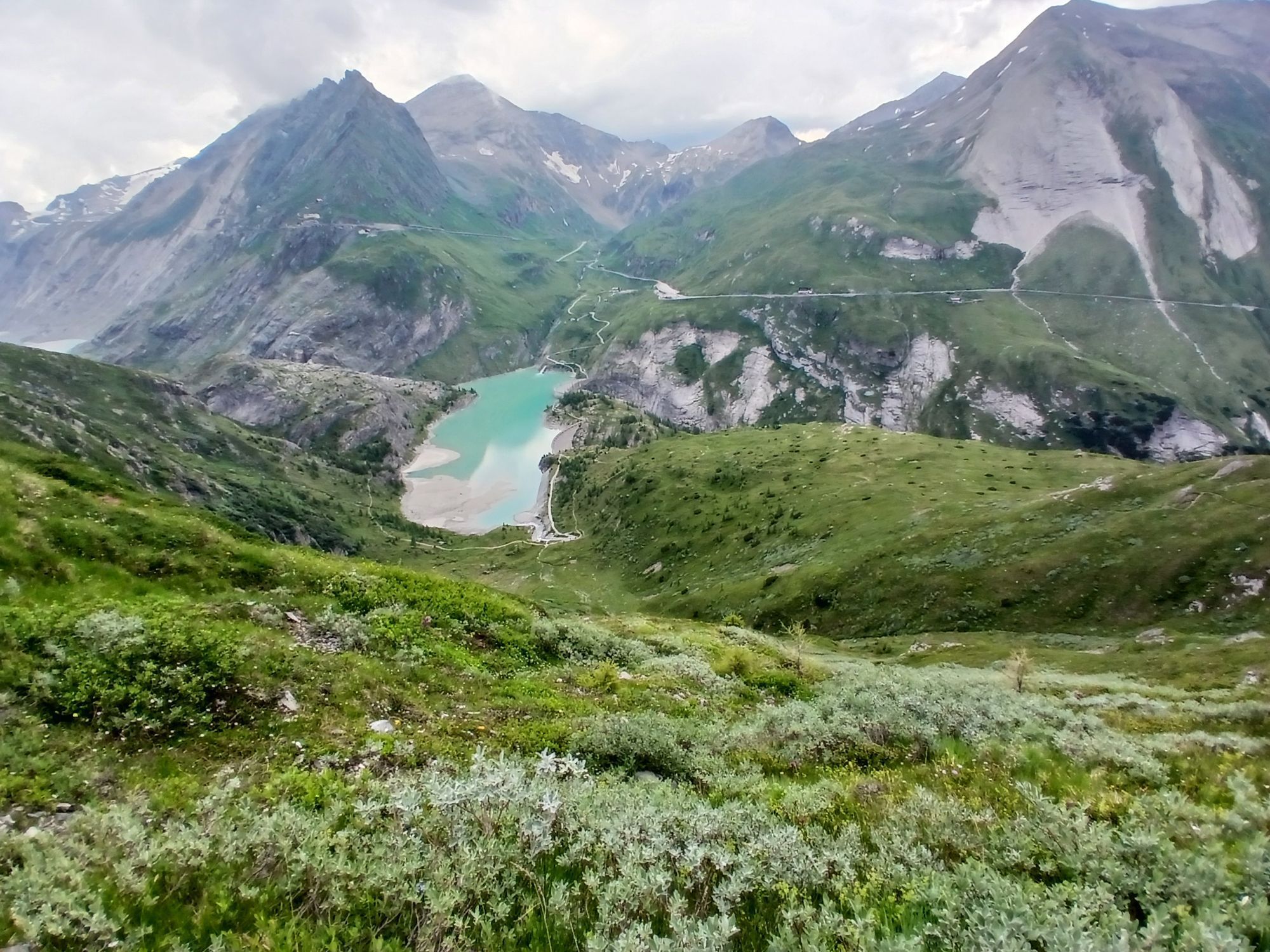
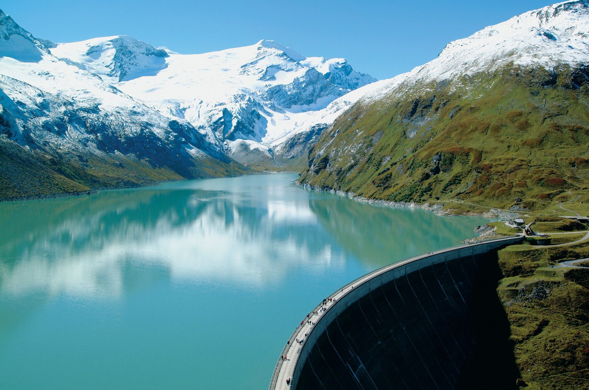
Mooserboden
Heinrich-Schwaiger-Haus
Rudolfshütte
Sonnenkar
Alpincenter
Kaprun
Fallbichl
Adlerlounge - Cimaross
Adlerlounge - Cimaross
Adlerlounge - Cimaross
Adlerlounge - Cimaross
Adlerlounge - Cimaross
Adlerlounge - Cimaross
Adlerlounge - Cimaross
Adlerlounge - Cimaross
Glocknerwinkel
Kalser Glocknerstraße - Glocknerwinkel
Bergstation Maiskogelbahn
Priljubljeni izleti v okolici
- 4,7
Geotrail Tauernfenster
svetlobaPohodništvo 5,90 km - 4,9
Glockner
srednjaVisokogorska tura 19 km - 5,0
Figerhorn, 2743m, Lucknerhaus
srednjaPohodništvo 6,69 km - 4,1
Glacier Route to the Pasterze with Gamsgrubenweg (up to Tunnel 6)
srednjaPohodništvo 8,05 km - 4,3
Stüdlhütte -Großglockner
Pohodništvo 4,68 km - 4,9
Kaiser-Franz-Josefs-Höhe to Oberwalderhütte
težkoPohodništvo 5,52 km - 4,2
Lucknerhaus zur Glorerhütte über Lucknerhütte zurück
srednjaPohodništvo 11,2 km - 4,9
Großes Wiesbachhorn 3564 mnv Kaprun, Austrija
težkoPohodništvo 13,4 km - 4,1
Böses Weibele, 3119m, Lucknerhaus
težkoPohodništvo 13,8 km - 3,9
Großglockner Hochalpenstrasse
težkoKolesarjenje 20,2 km
Pohodništvo in sledenje


Ne zamudite ponudb in navdiha za naslednje počitnice
Vaš e-poštni naslov je bil dodan na poštni seznam.