







Kaiser-Franz-Josefs-Höhe to Oberwalderhütte
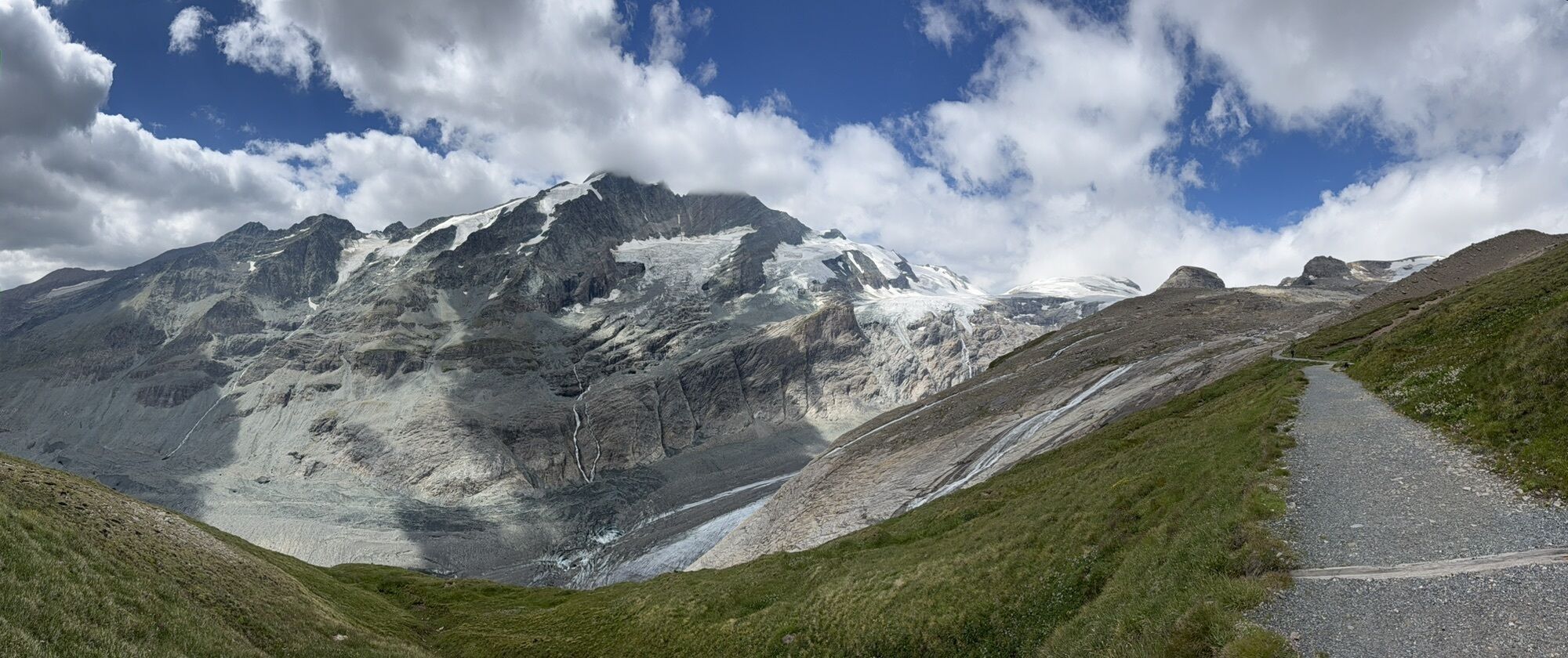
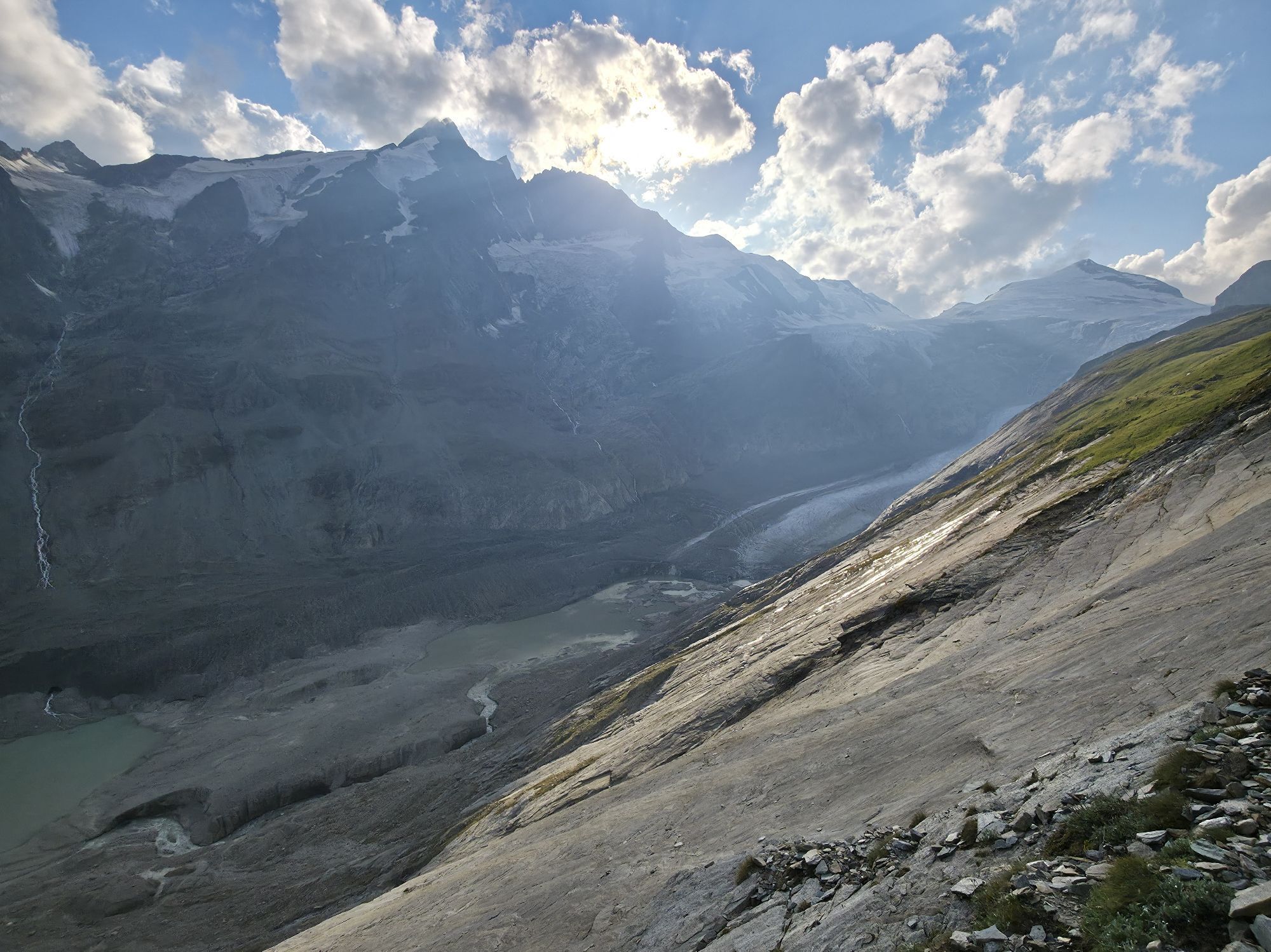
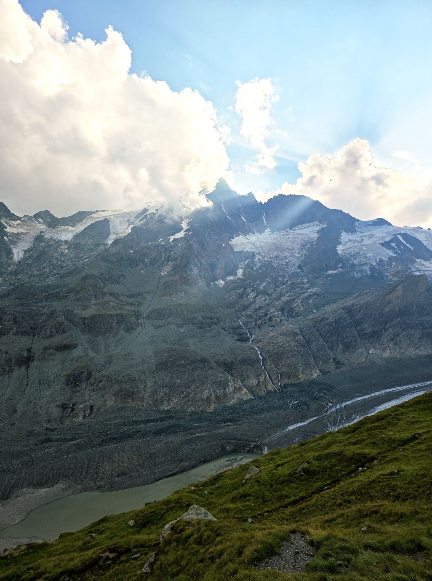
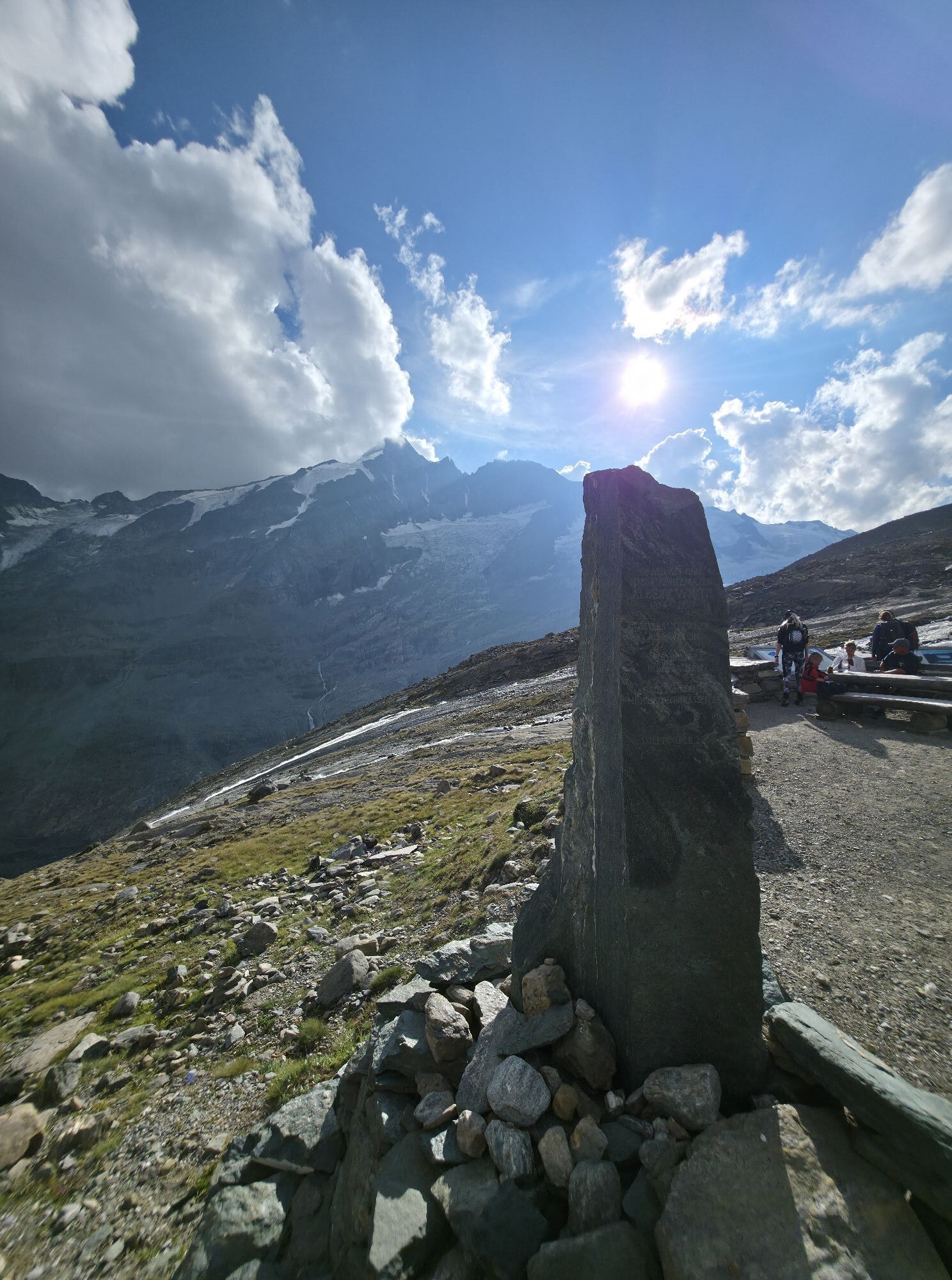
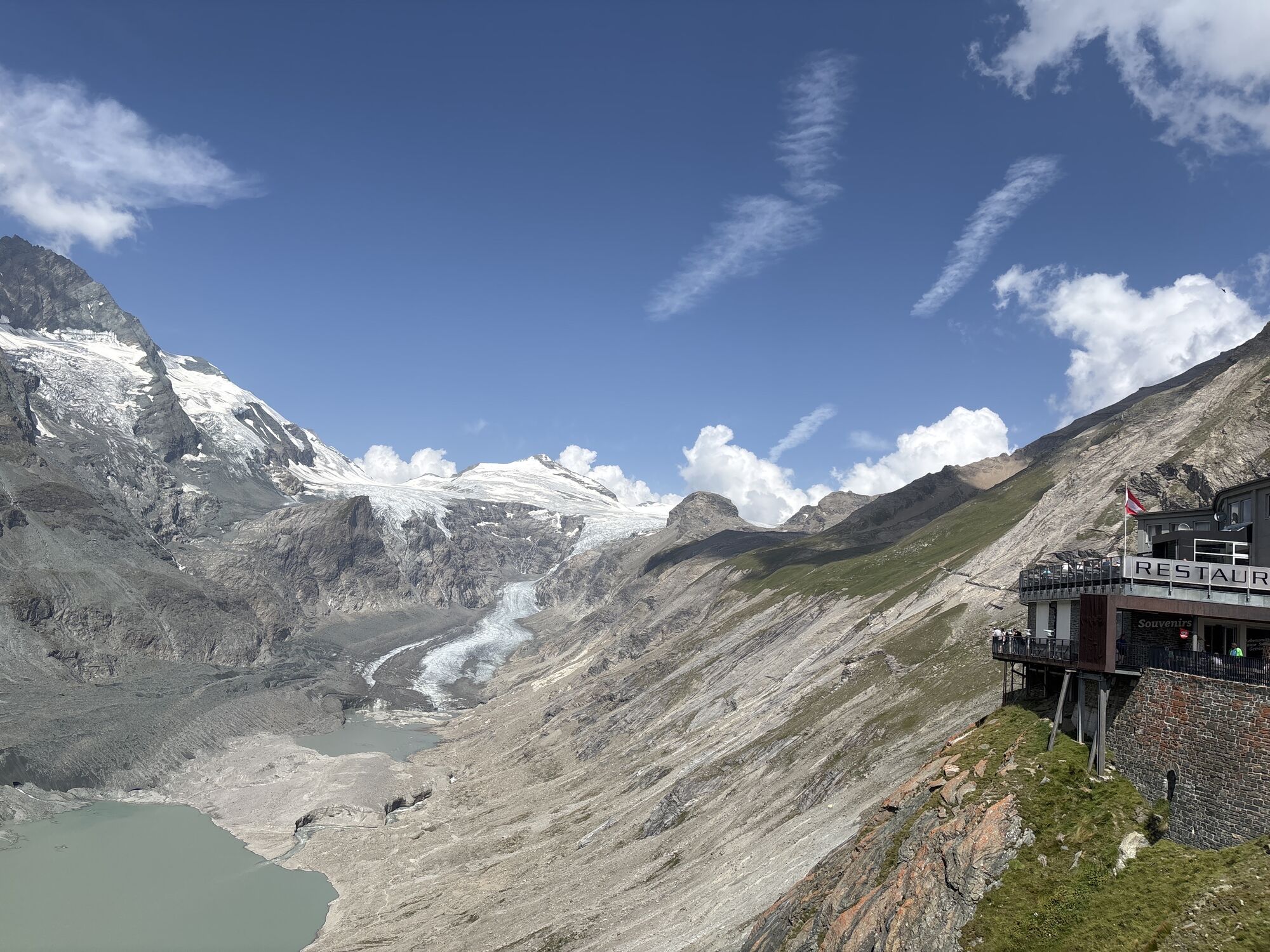
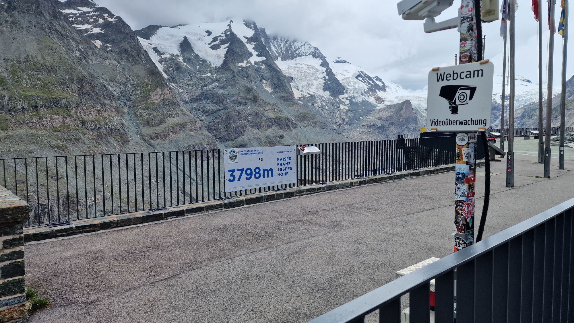
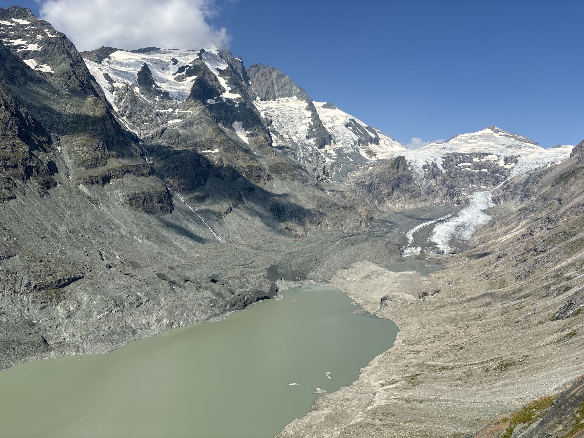
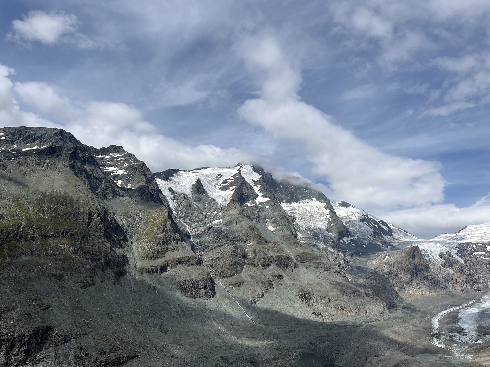
If you want to breathe in high alpine air and walk almost the full length of the Pasterze, without having to face major alpine challenges, this is probably one of the most rewarding mountain routes overall....
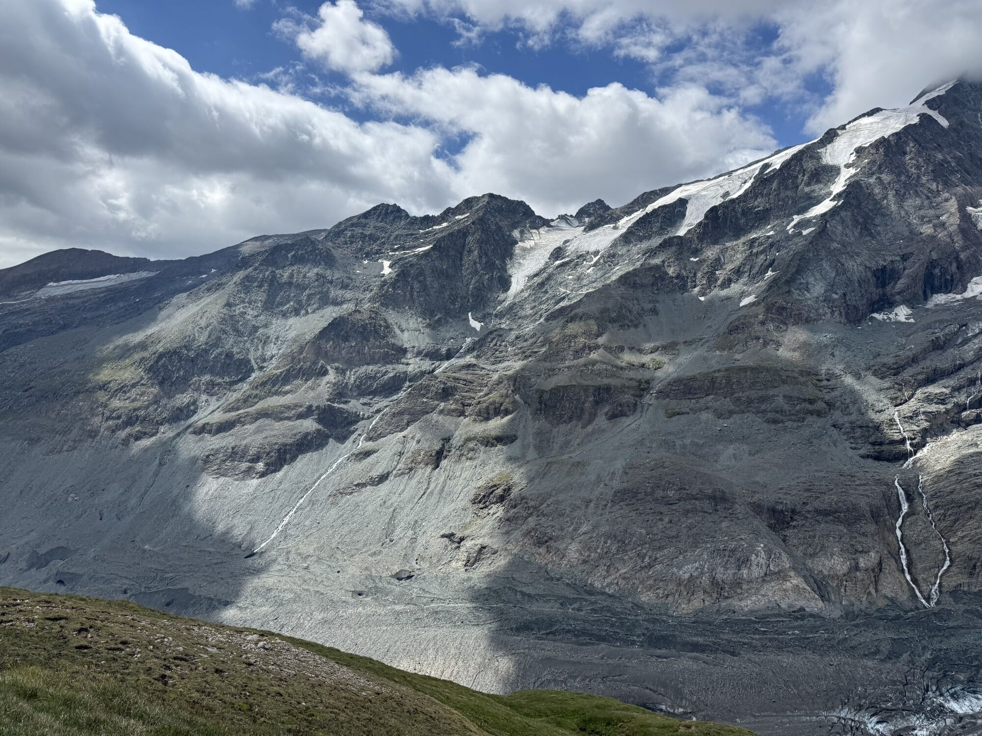
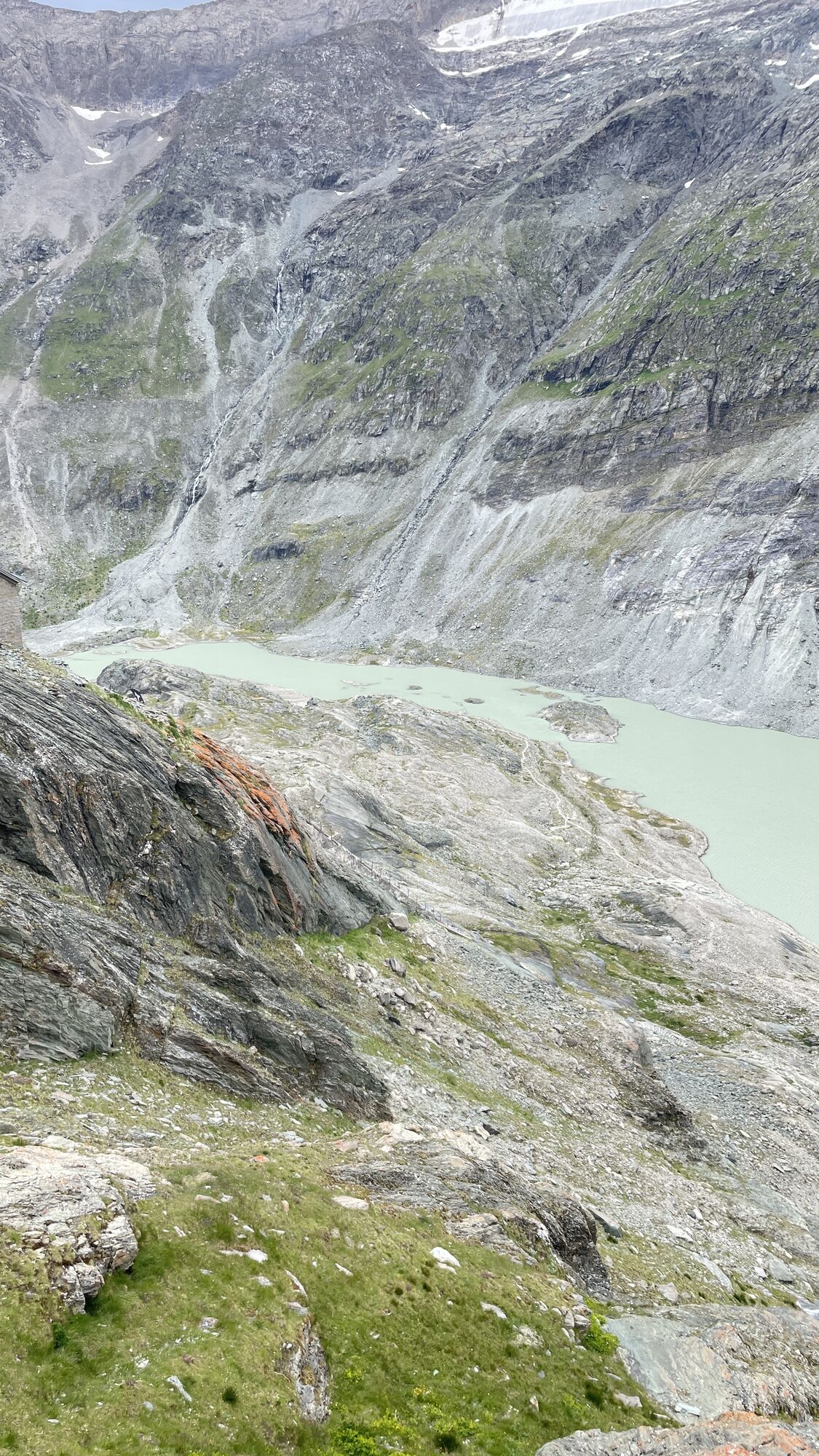
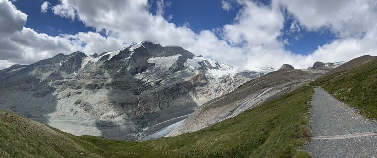
If you want to breathe in high alpine air and walk almost the full length of the Pasterze, without having to face major alpine challenges, this is probably one of the most rewarding mountain routes overall. However, the tour to the Oberwalderhütte at 2,974 meters altitude should not be underestimated. In poor visibility conditions, inexperienced people should especially avoid such routes. All the more, with good visibility, the breathtaking panoramic view will delight you.

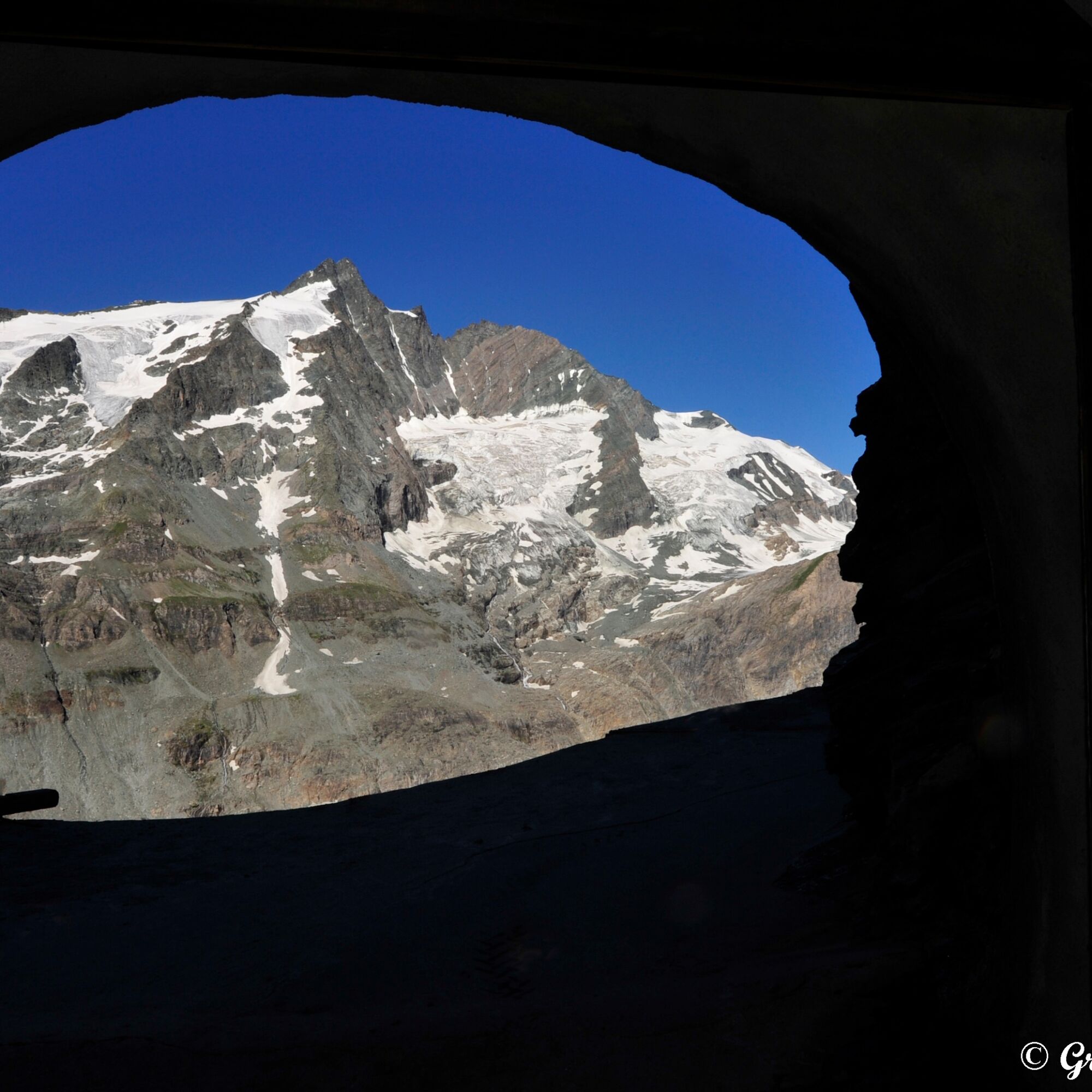
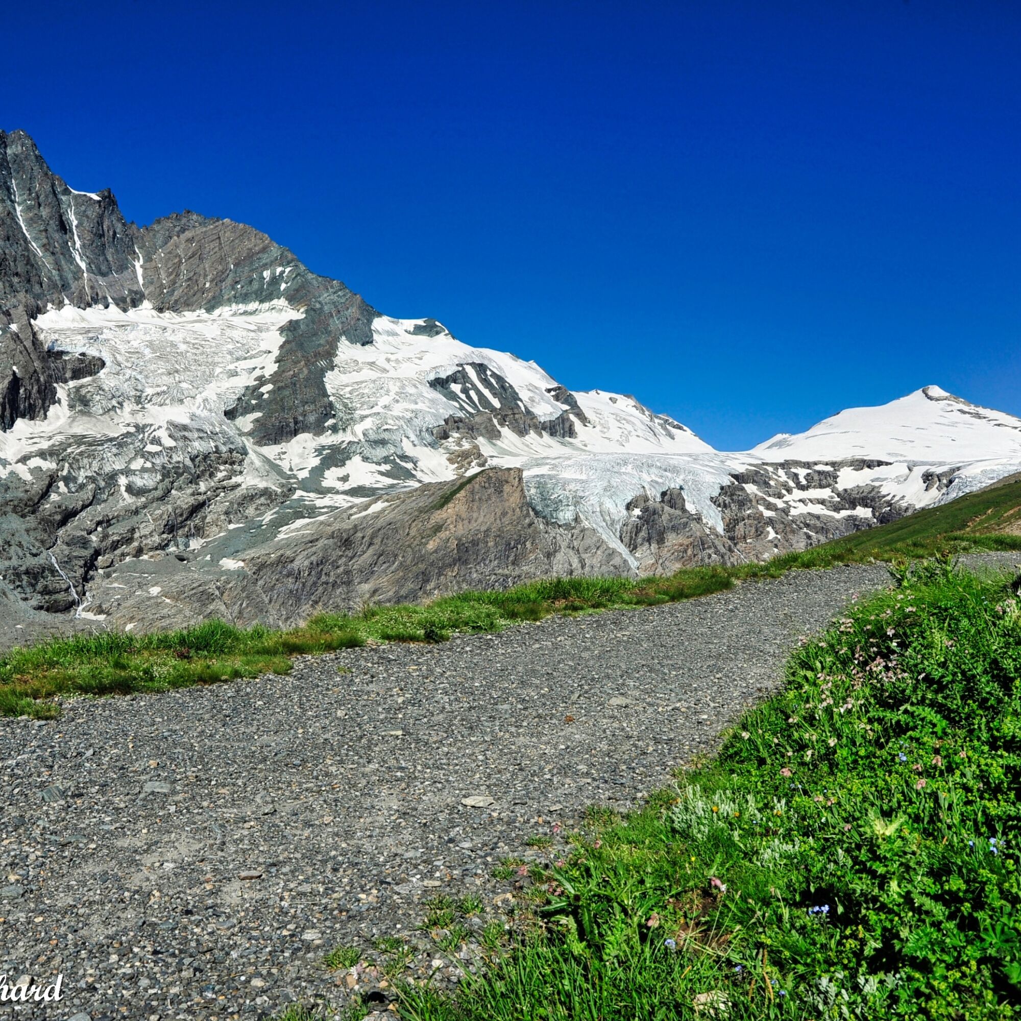
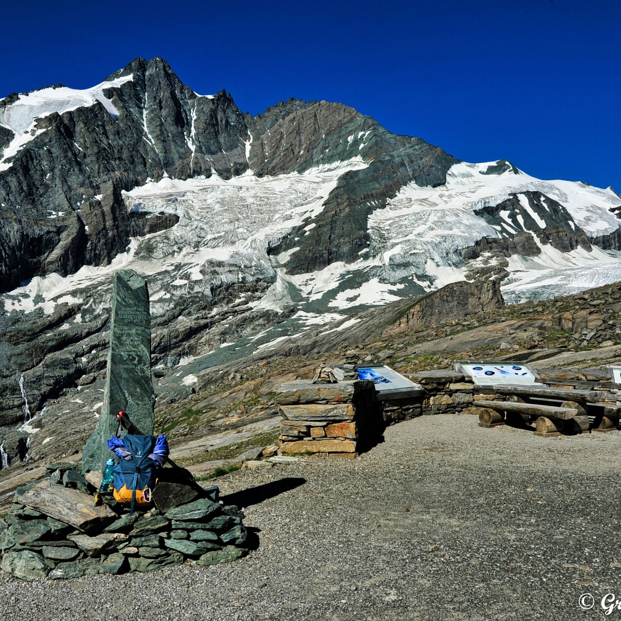
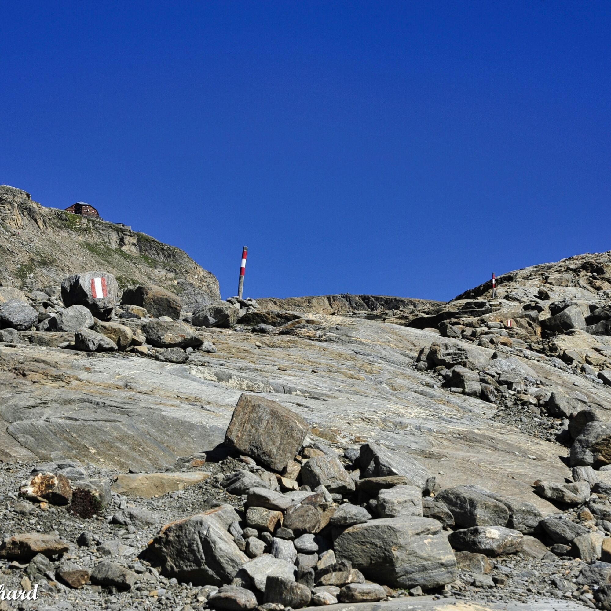
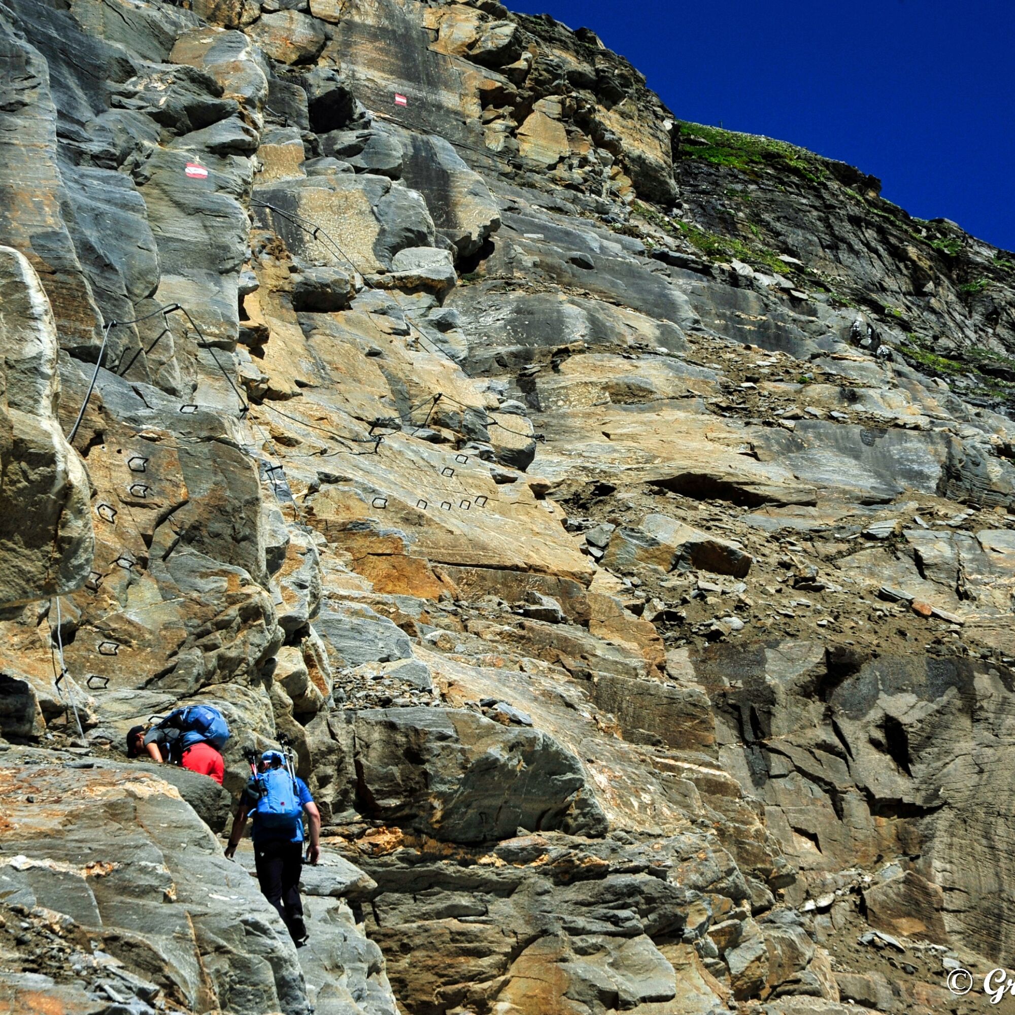
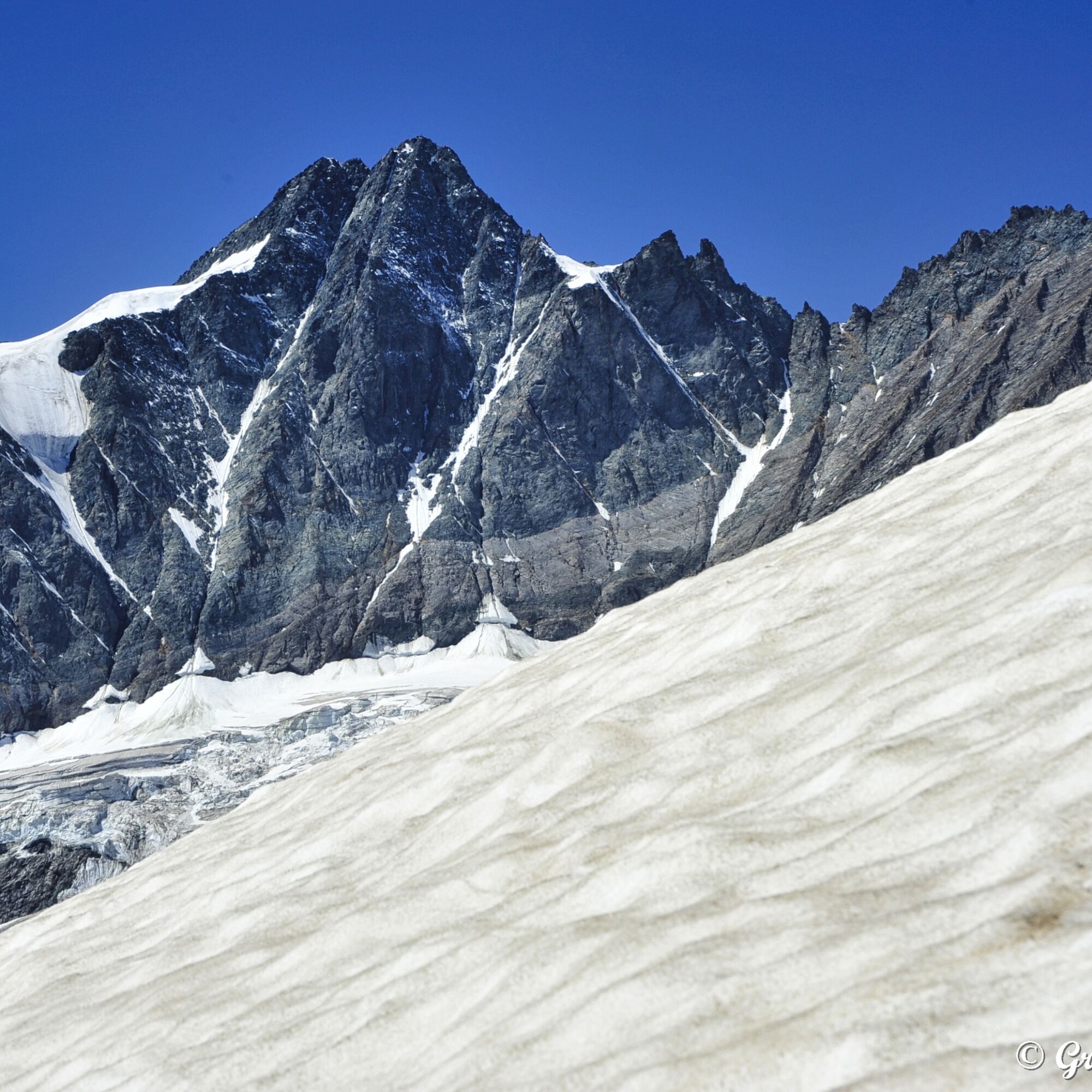
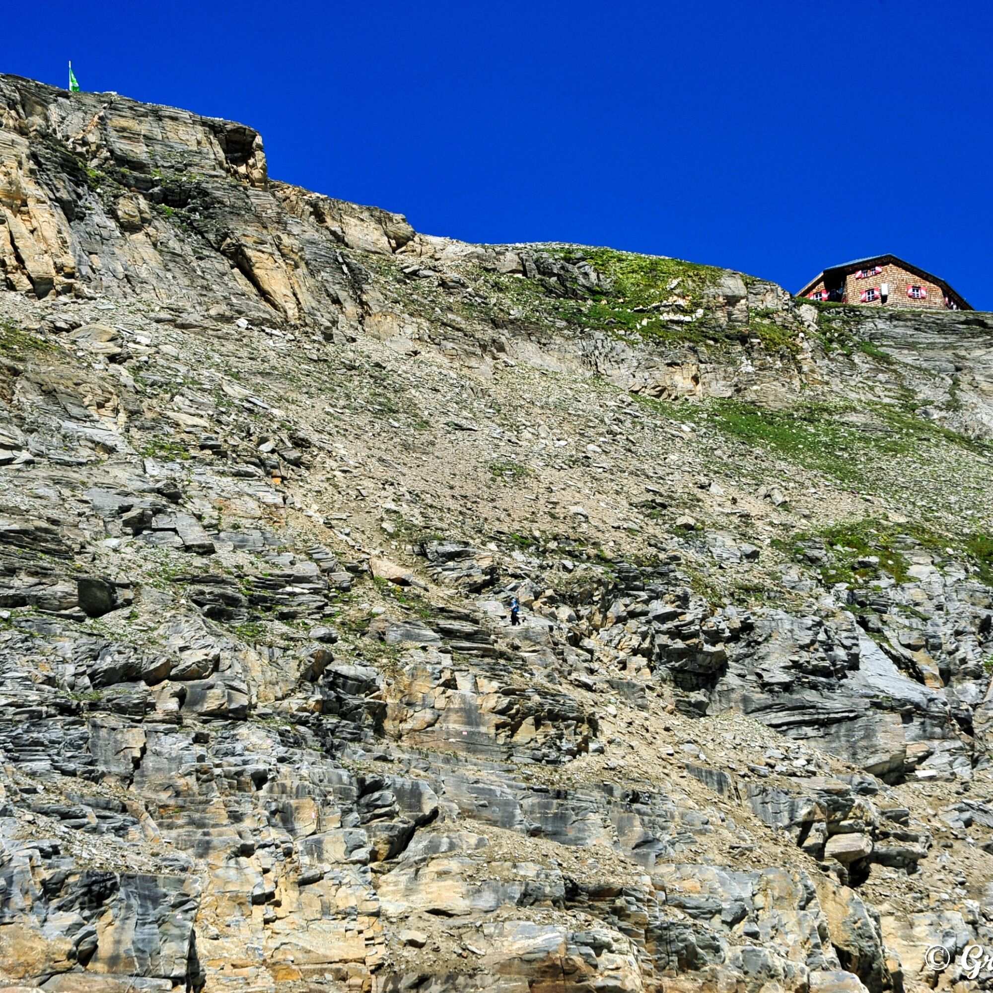
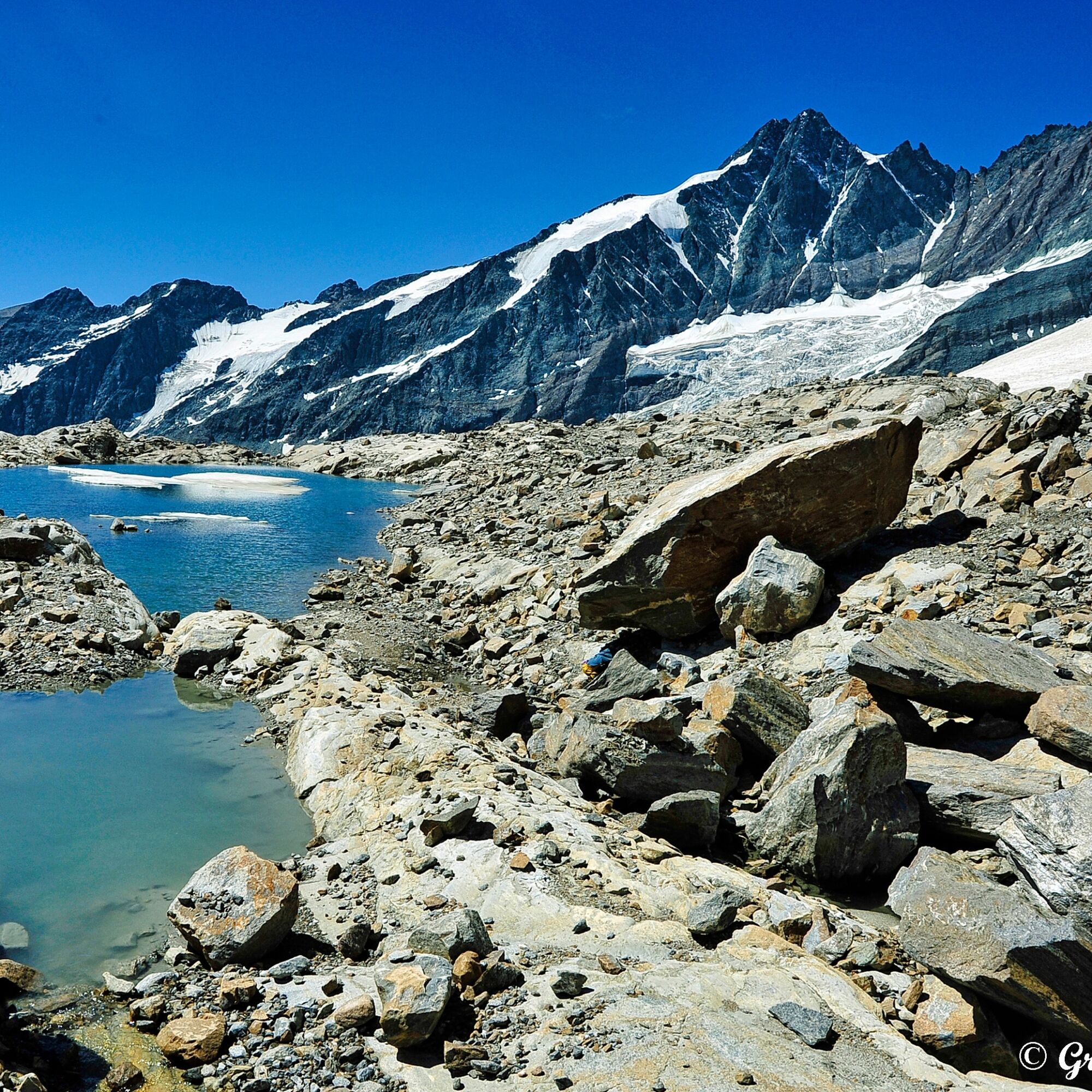
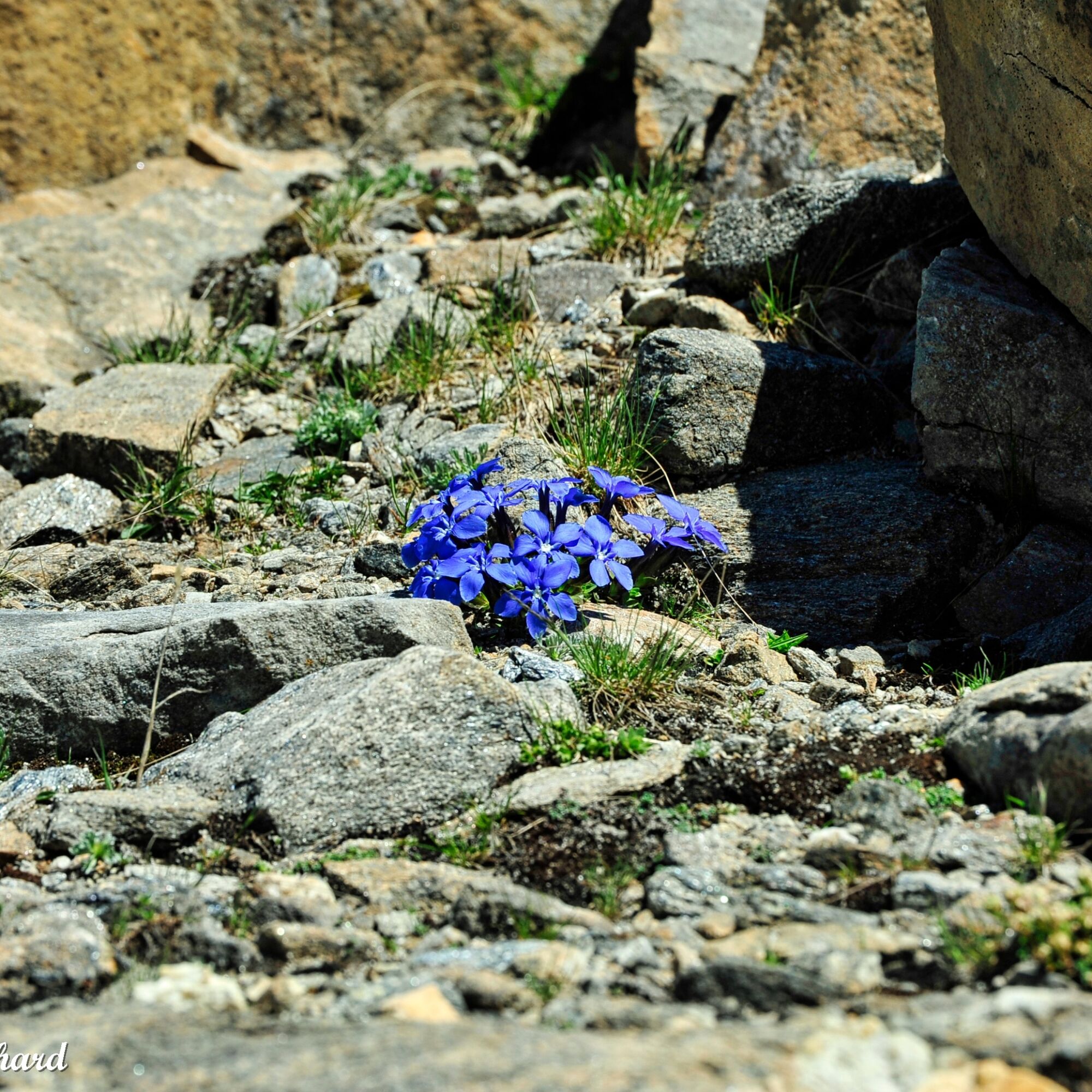
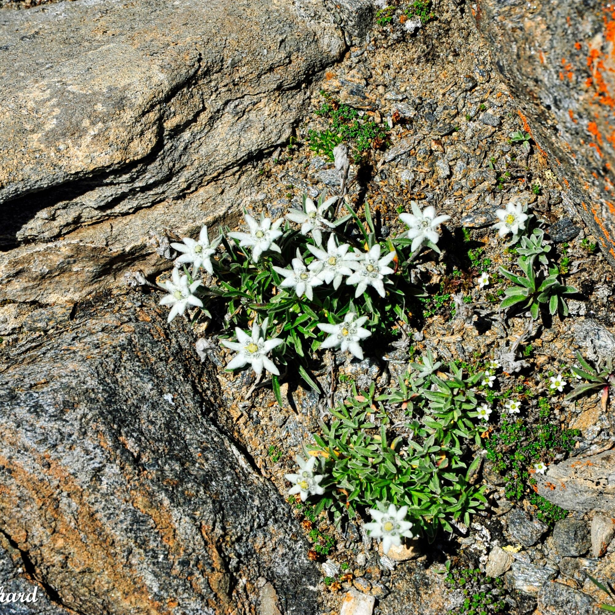
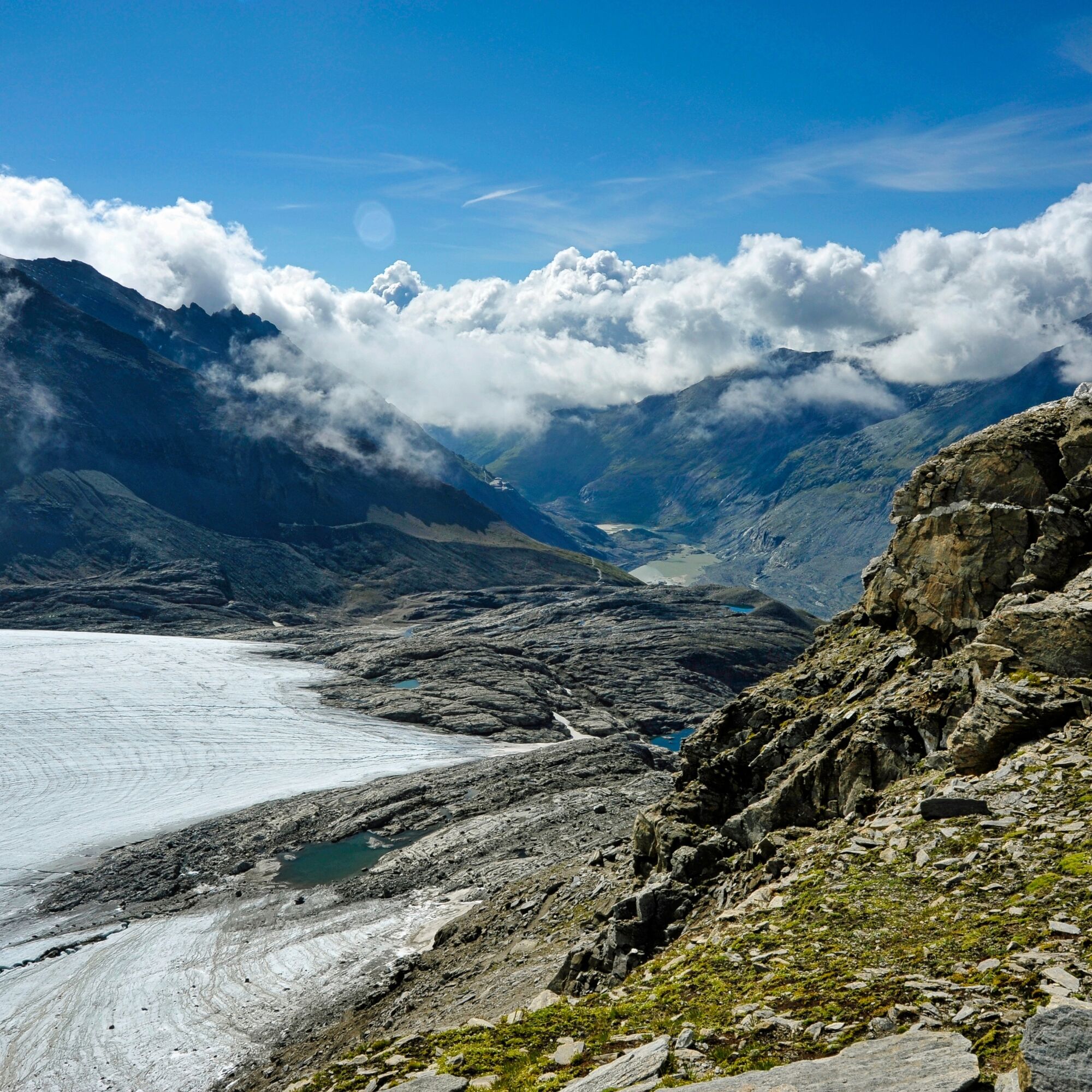
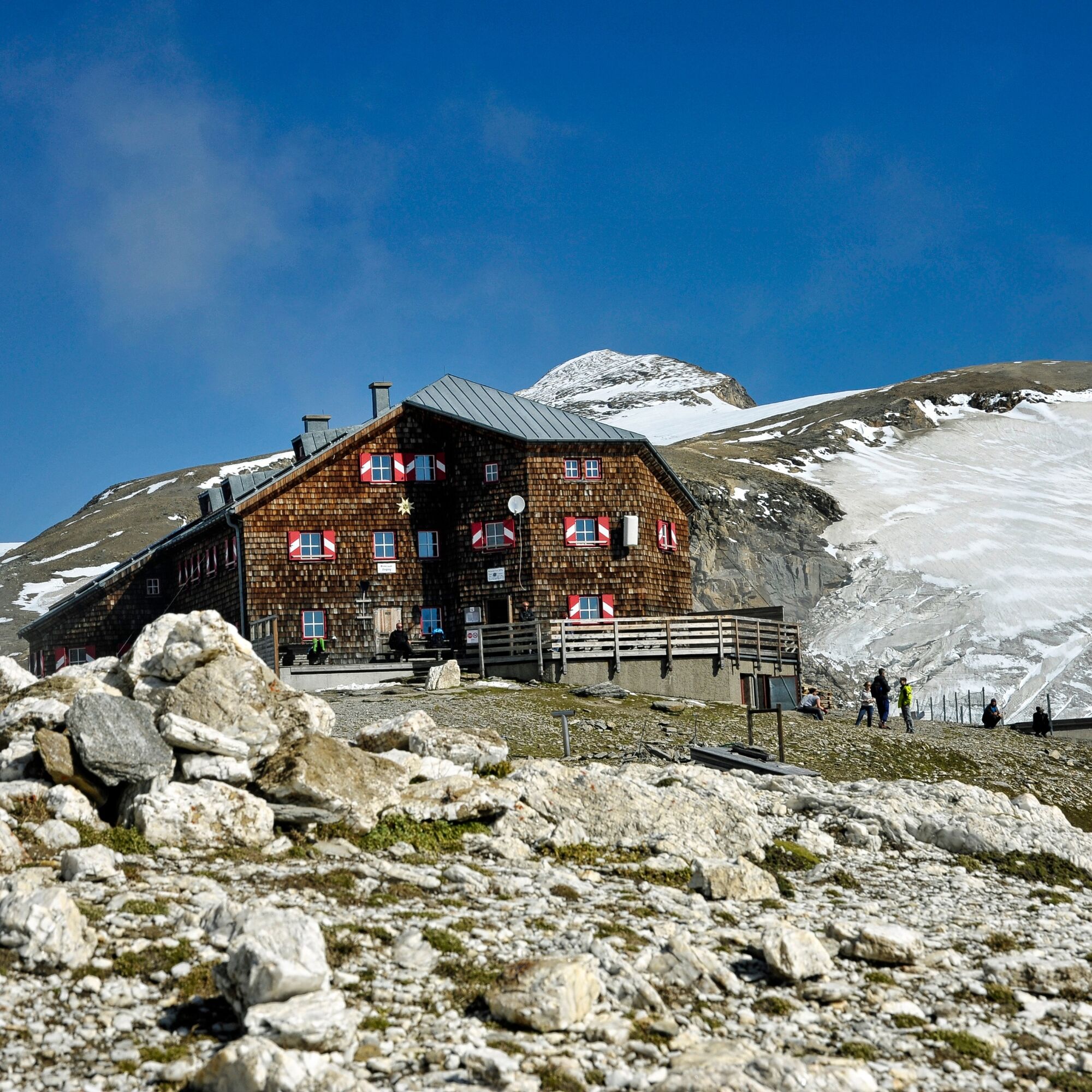
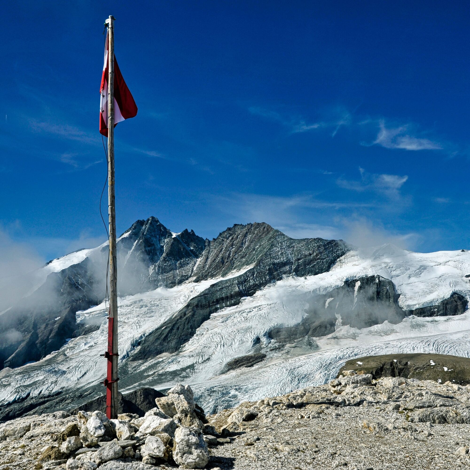
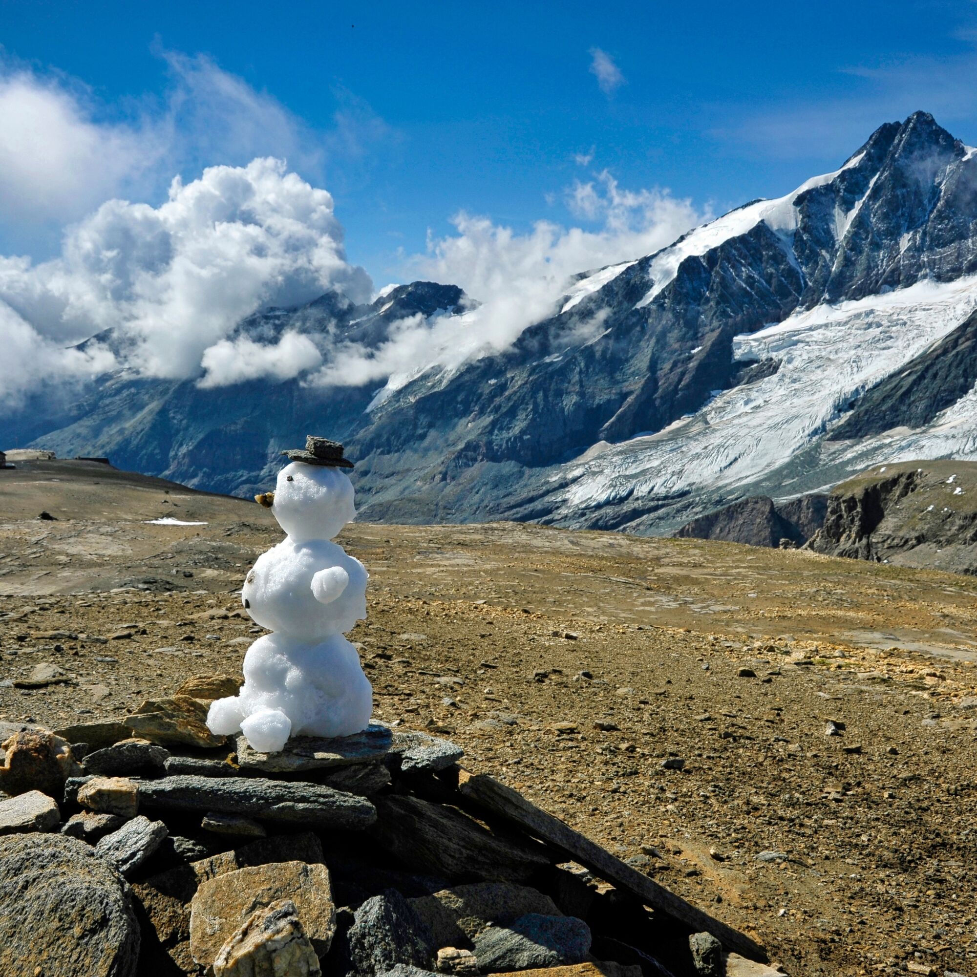
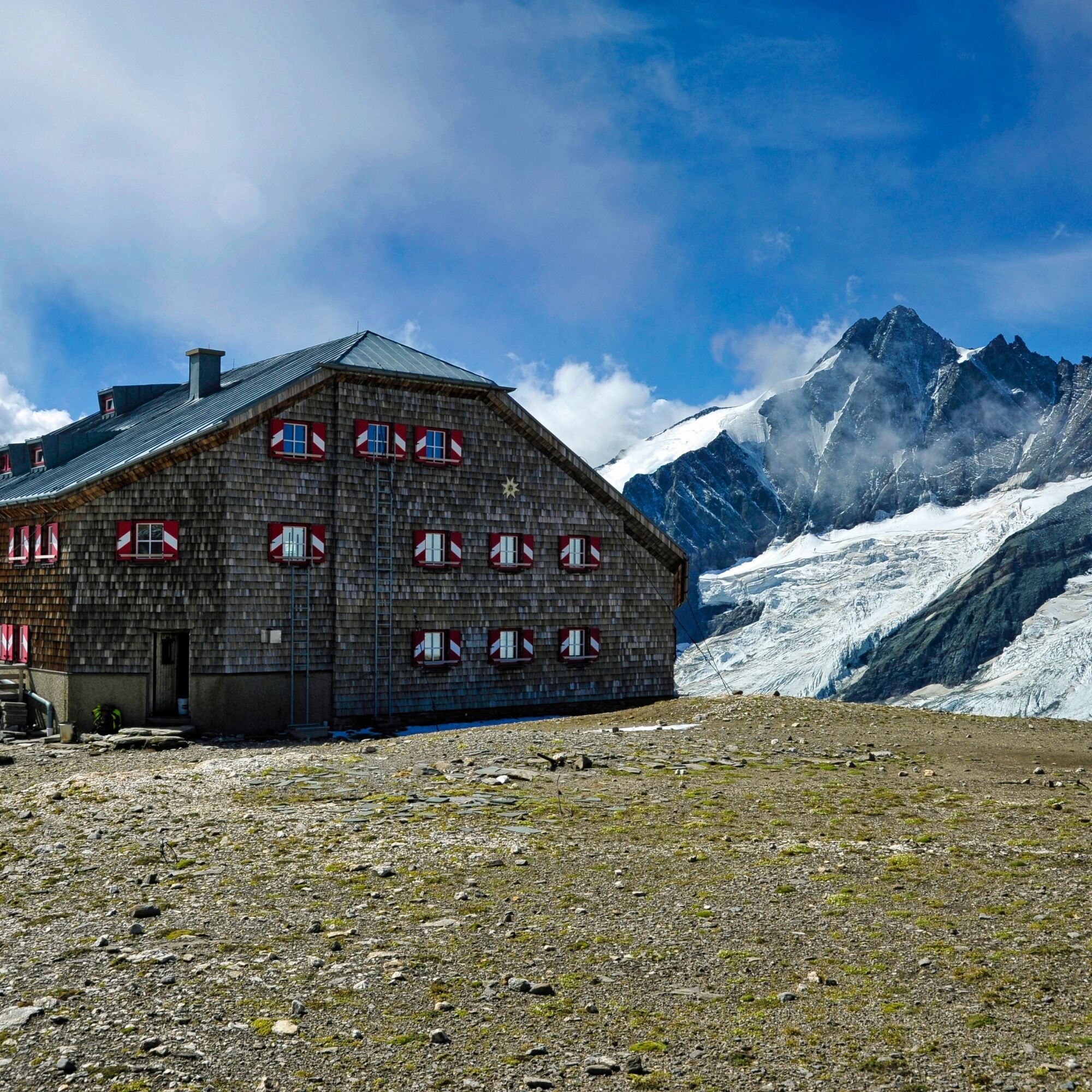
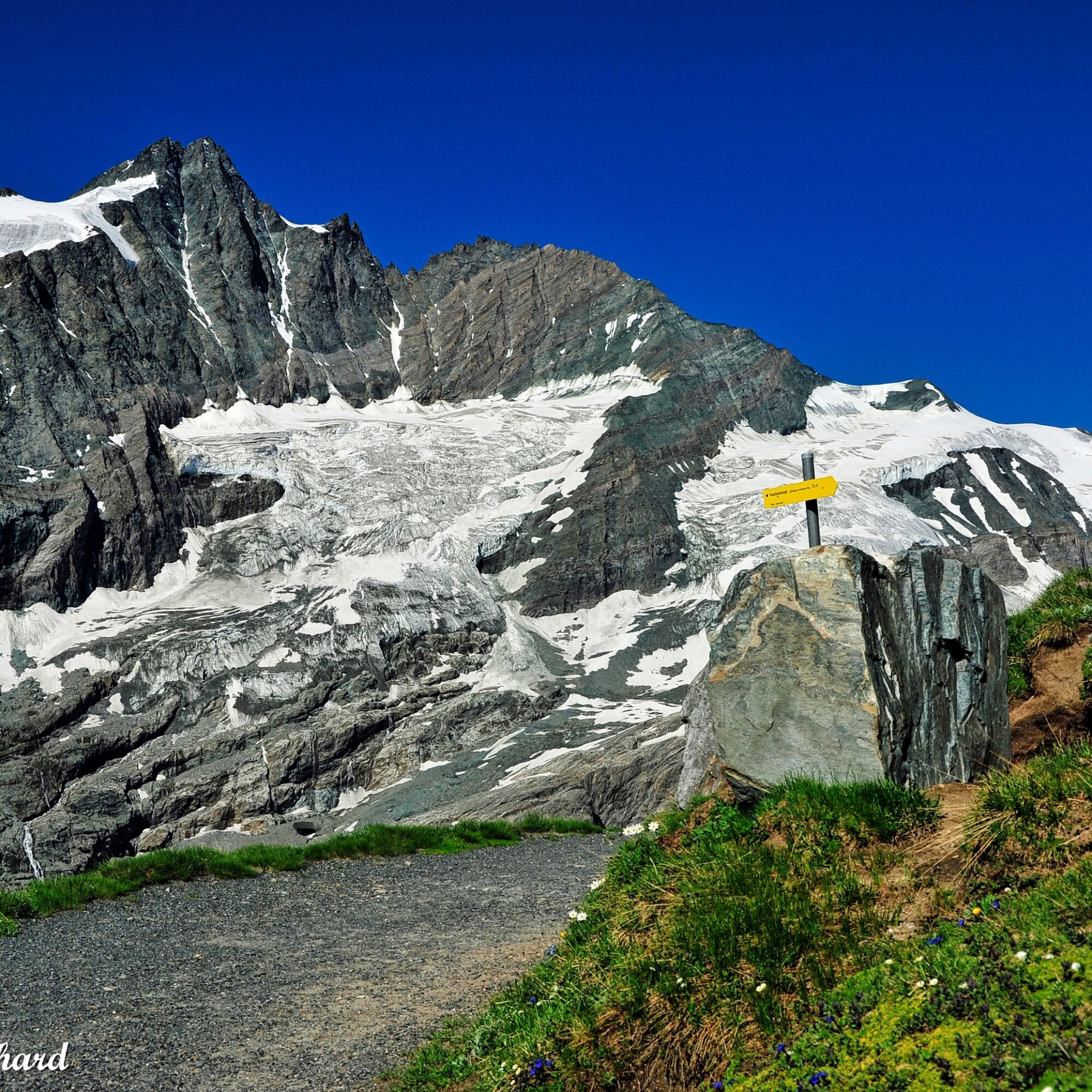

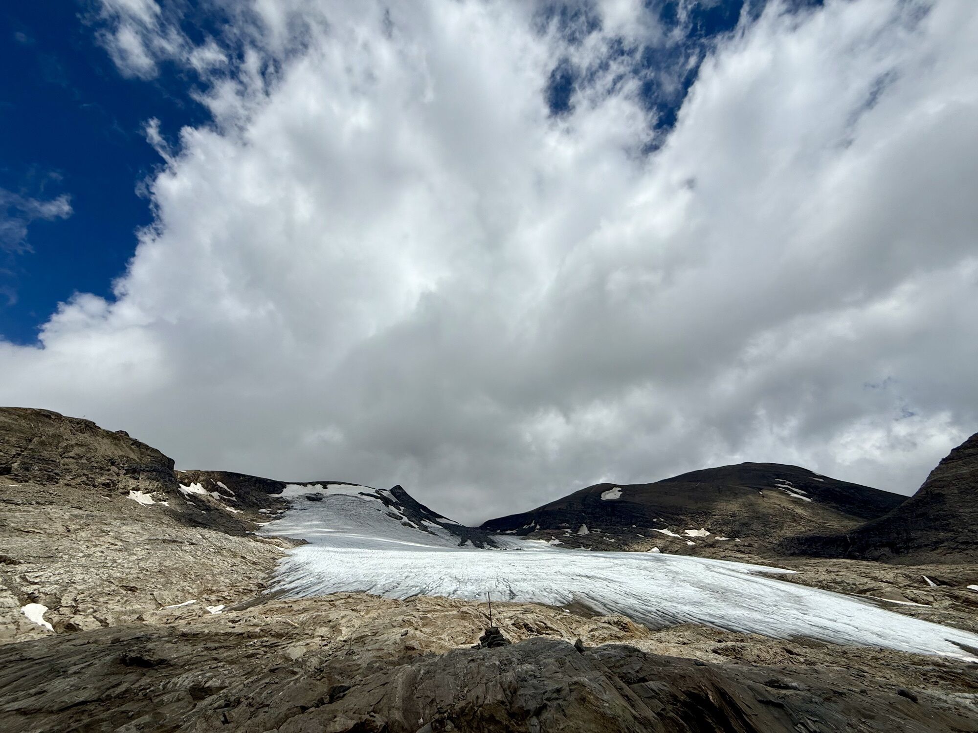
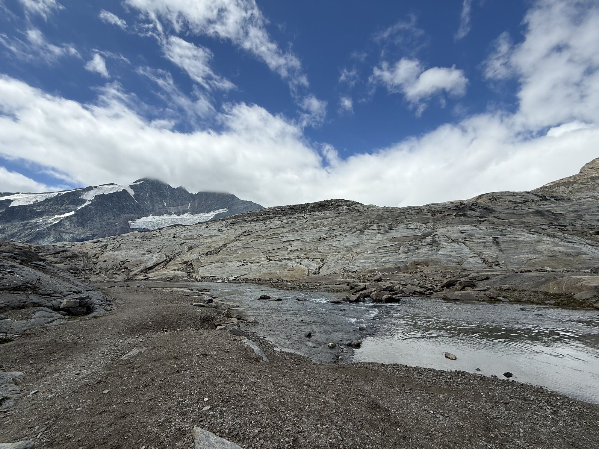
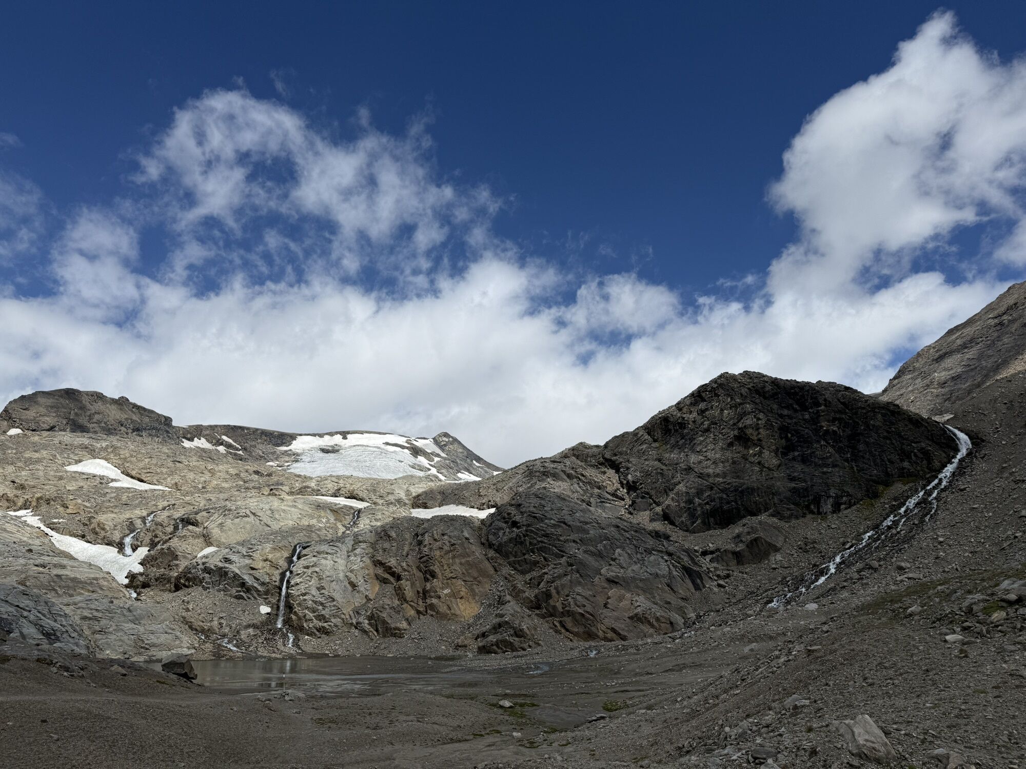
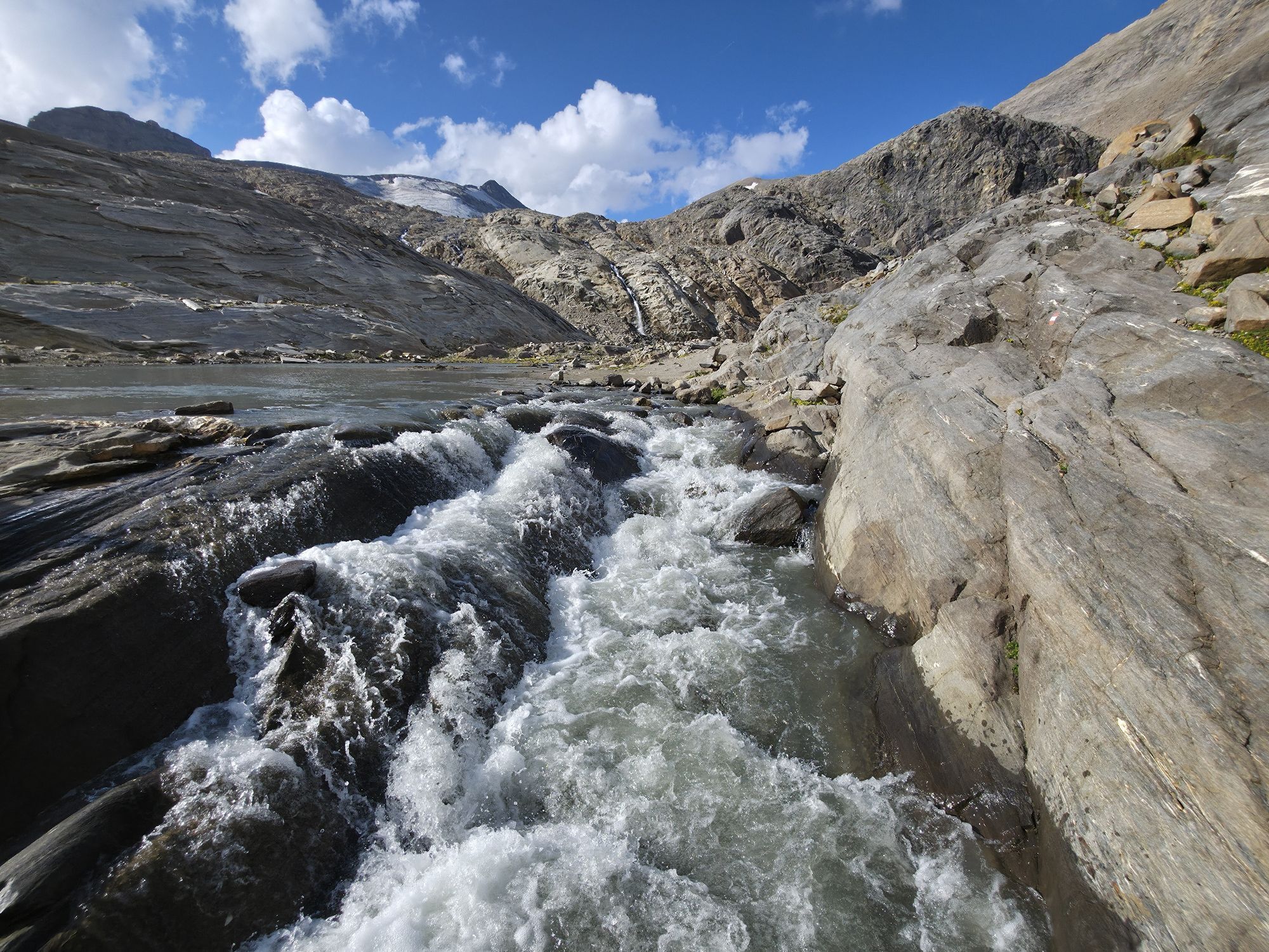
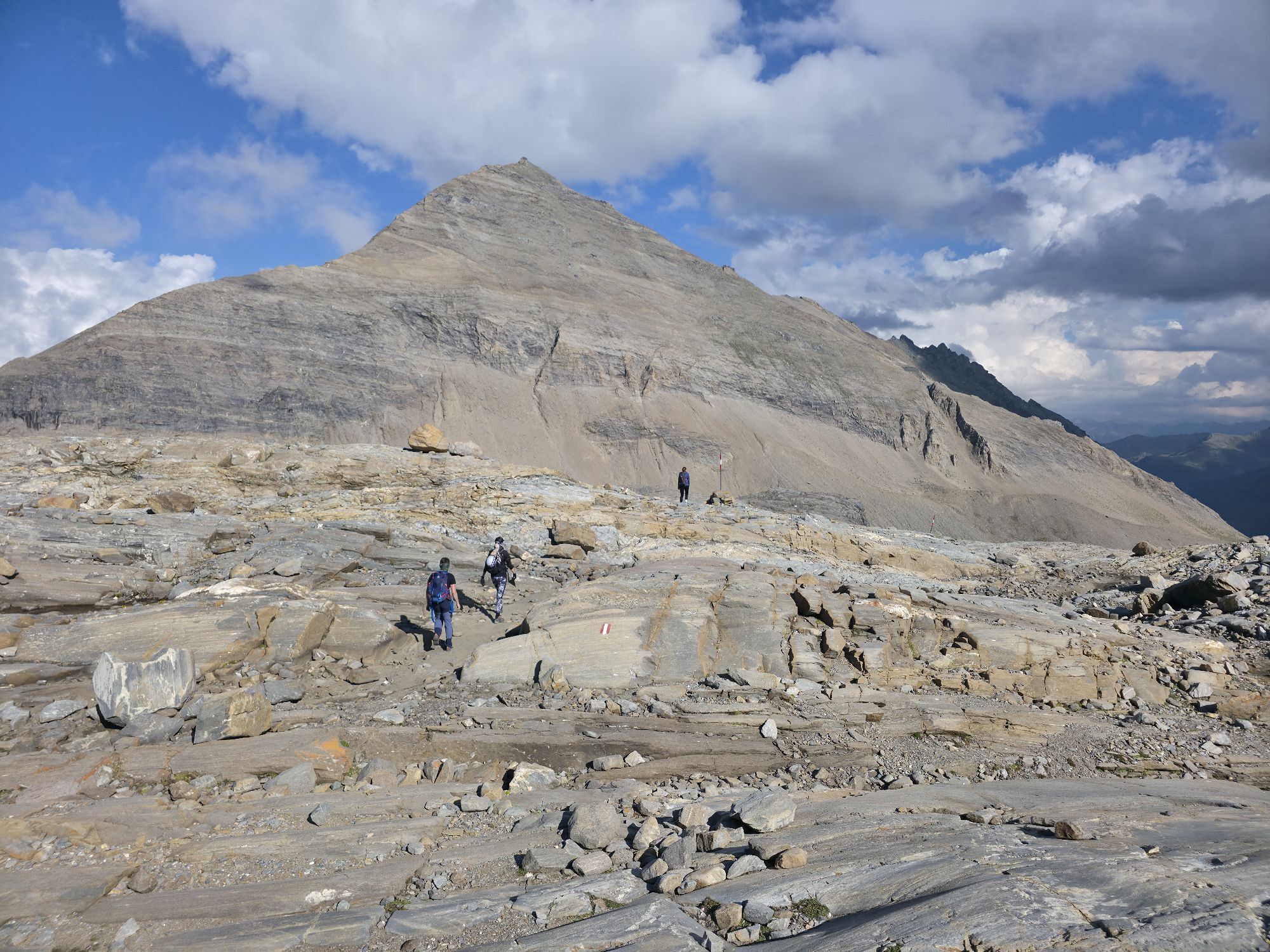
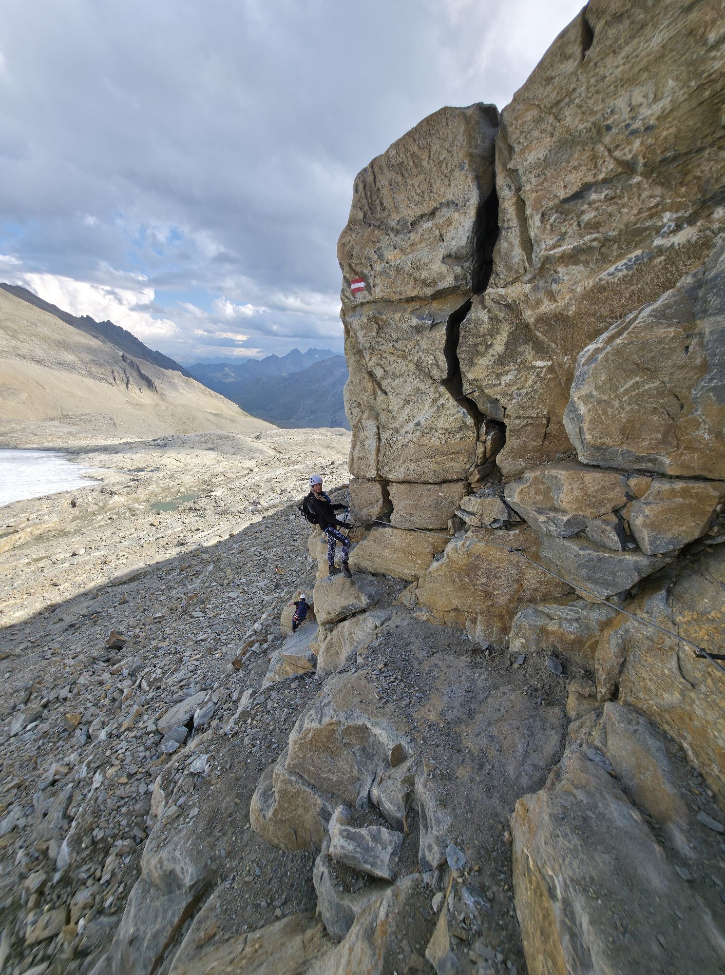
From Franz-Josefs-Höhe through a clearly visible portal to the Gamsgrubenweg. 800m through six tunnels that protect from falling rocks and also serve as an exhibition. Afterwards, continue gently uphill, past the special protection area „Gamsgrube“. In front of the Wasserfallwinkelkees we cross the glacier stream to the north over a small bridge and follow the marker poles over the smoothed rock ridges until we cross a glacier field. From here it goes steeper uphill to the entrance of the via ferrata. Upwards along the steep rock wall secured with cables and equipped with some crampons to the Oberwalderhütte.
Descent as ascent.
The Gamsgrubenweg is officially closed from the exit of Tunnel 6. The passage of the Gamsgrubenweg from the last tunnel is only possible for mountaineers with a protective helmet and professional safety equipment and at their own risk.
From Heiligenblut via the Großglockner High Alpine Road, at the Guttal roundabout towards Kaiser-Franz-Josef-Höhe, up to the parking garage at Kaiser-Franz-Josefs-Höhe.
Parking garage at Kaiser-Franz-Josefs-Höhe


Spletne kamere s turneje
Pridobite vpogled Vedno v živo na mestu z več kot 9.500 spletnimi kamerami. bergfex Kot uporabnik Pro si lahko zdaj ogledate ustrezne spletne kamere za številne izlete v aplikaciji izleti iz. Tako si lahko neposredno ogledate trenutne razmere. Dejavnosti na poti

Heiligenblut am Großglockner, Kärnten/Österreich
27.07.2026 – Pohodništvo
Heiligenblut am Großglockner, Kärnten/Österreich
27.07.2026 – Pohodništvo
Heiligenblut am Großglockner, Kärnten/Österreich
16.07.2026 – MountainbikeHeiligenblut am Großglockner, Kärnten/Österreich
16.07.2026 – Pohodništvo
Heiligenblut am Großglockner, Kärnten/Österreich
23.08.2025 – Pohodništvo
Heiligenblut am Großglockner, Carinthia/Austria
19.08.2025 – Pohodništvo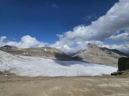
Heiligenblut am Großglockner, Kärnten/Österreich
19.08.2025 – PohodništvoHeiligenblut am Großglockner, Kärnten/Österreich
12.08.2025 – Pohodništvo
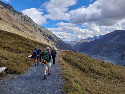
Oberwalderhütte Abstieg mit Nina, Paul, Zoe, Andi, Erich
04.09.2022 – Pohodništvo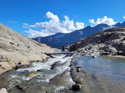
Oberwalderhütte Zustieg mit Nina, Paul, Zoe, Andi, Erich
02.09.2022 – Pohodništvo
Priljubljeni izleti v okolici
- 4.6
Geotrail Tauernfenster
svetlobaPohodništvo 5.90 km - 4.9
Figerhorn, 2743m, Lucknerhaus
srednjaPohodništvo 6.69 km - 4.8
Glockner
srednjaVisokogorska tura 19 km - 4.3
Glacier Route to the Pasterze with Gamsgrubenweg (up to Tunnel 6)
srednjaPohodništvo 8.05 km - 4.7
Glödis 3206m: PP Seichenbrunn, Lienzer Hütte, Glödis KS A/B
težkoVisokogorska tura 16.1 km - 4.9
Glockner Alpincenter - Salmhütte - Hohenwartkees
srednjaPohodništvo 8.64 km - 4.4
Stüdlhütte -Großglockner
Pohodništvo 4.68 km - 4.7
1 Großglockner Normalweg von der Stüdlhütte (Tirol & Kärnten)
težkoVisokogorska tura 8.17 km - 4.3
Böses Weibele, 3119m, Lucknerhaus
težkoPohodništvo 13.8 km - 4.4
Spielmann
srednjaPohodništvo 9.48 km
Pohodništvo in sledenje


Ne zamudite ponudb in navdiha za naslednje počitnice
Vaš e-poštni naslov je bil dodan na poštni seznam.





