


716 | Austria trail: Mooserboden - Kapruner Törl - Rudolfshütte
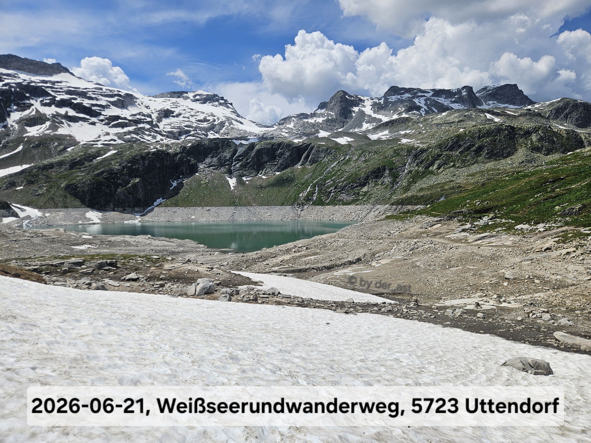
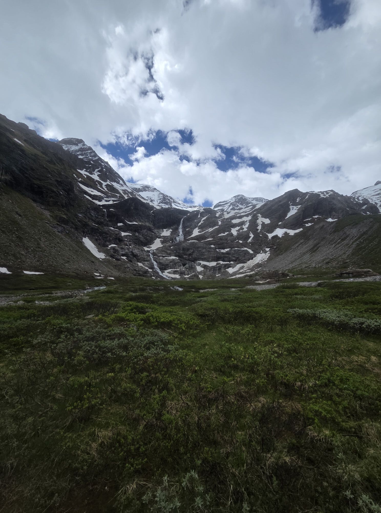
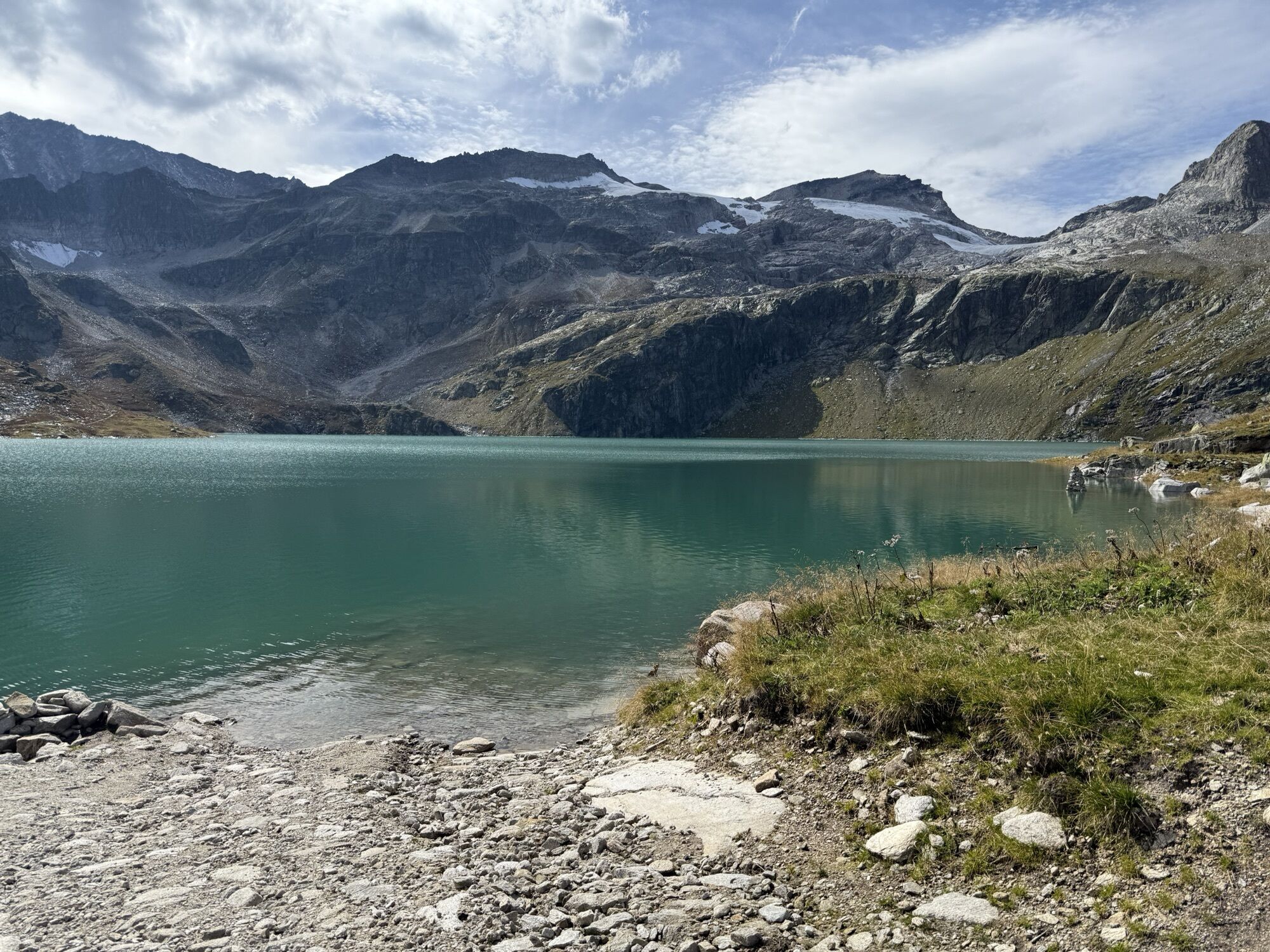

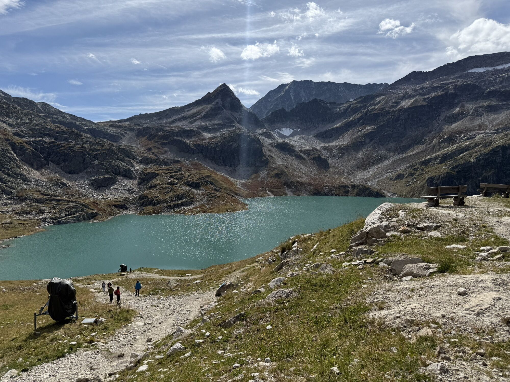

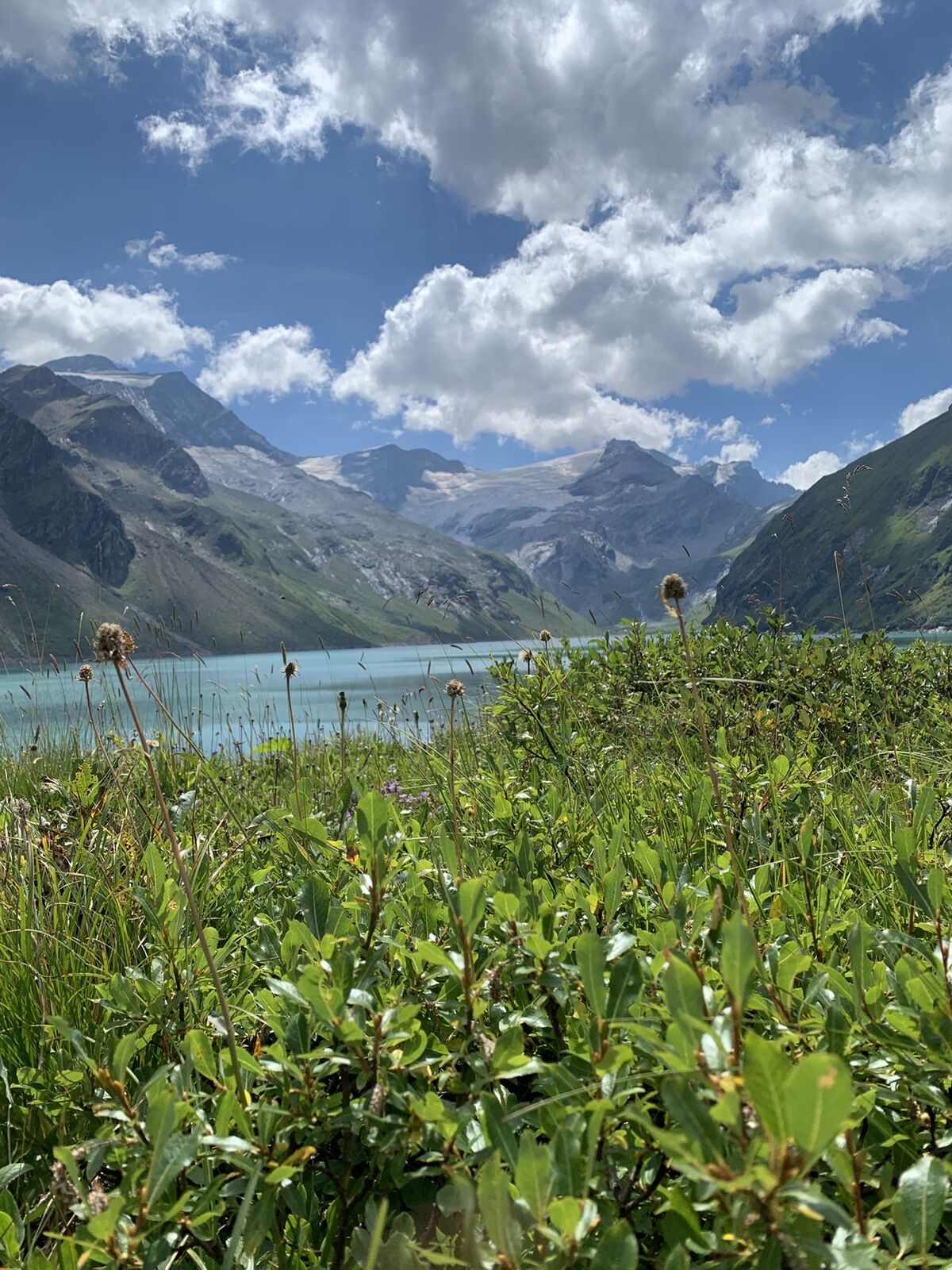
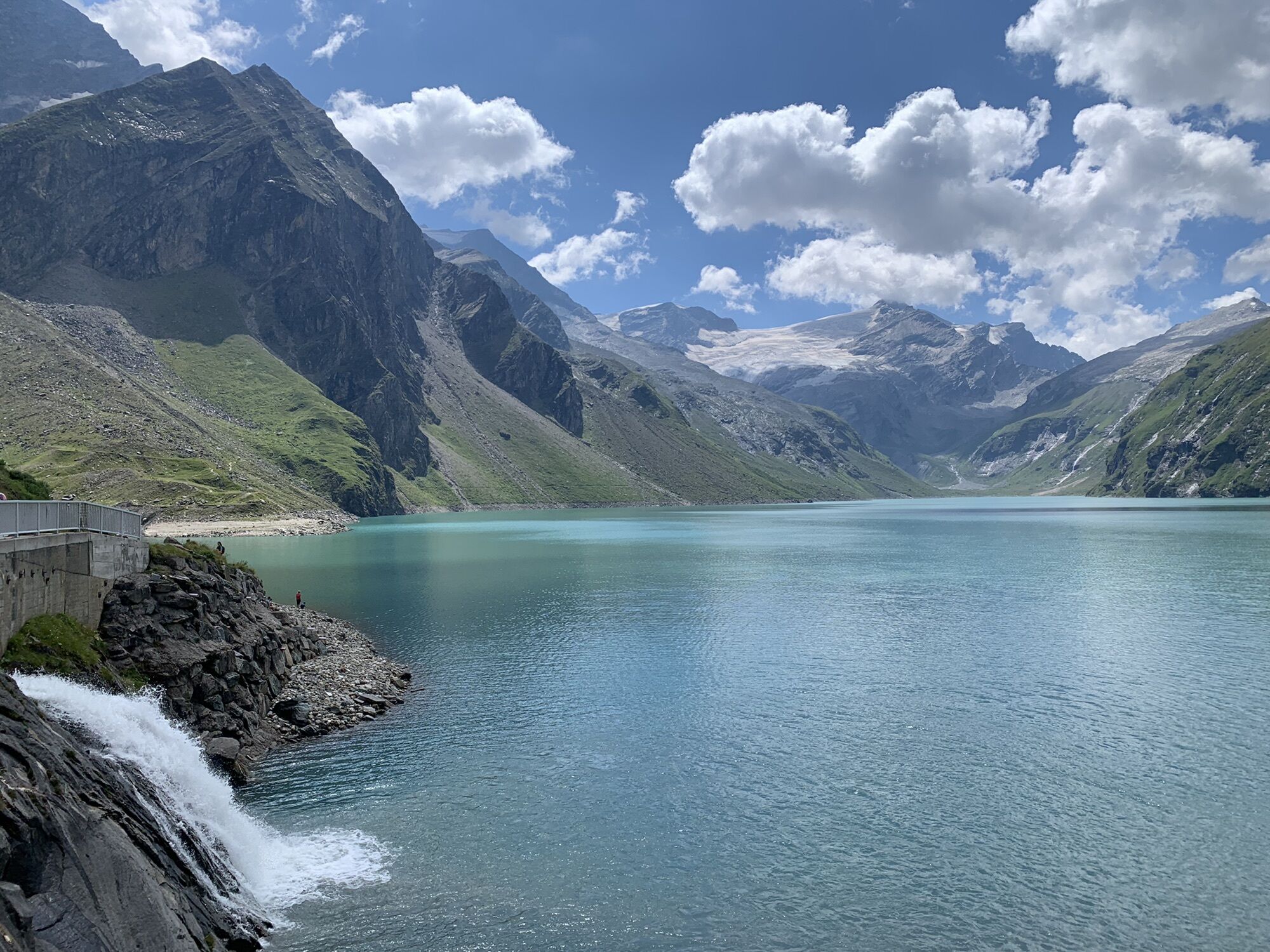
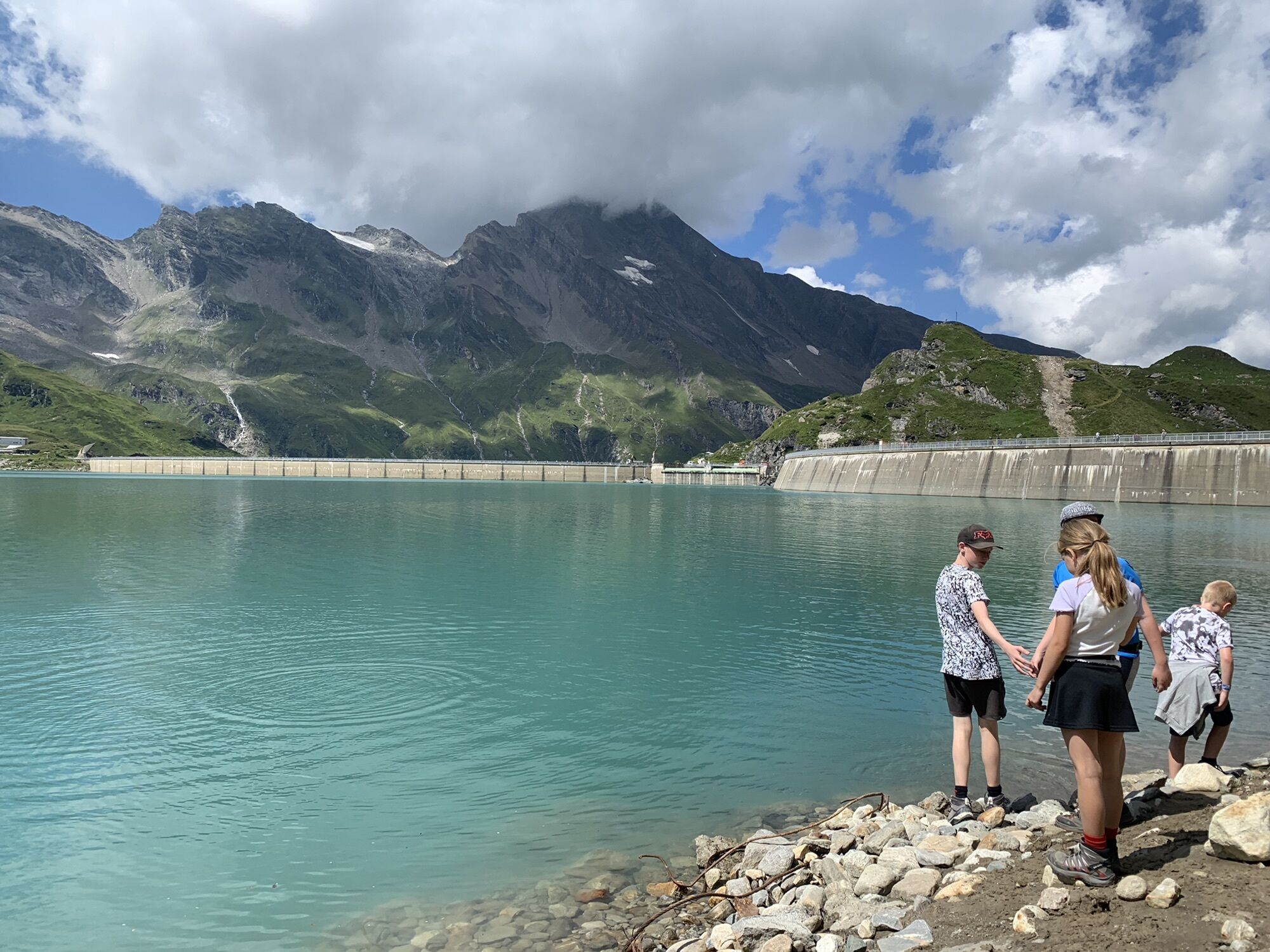
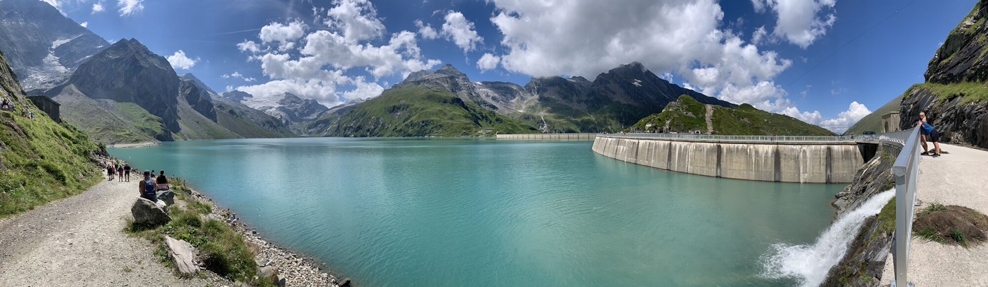
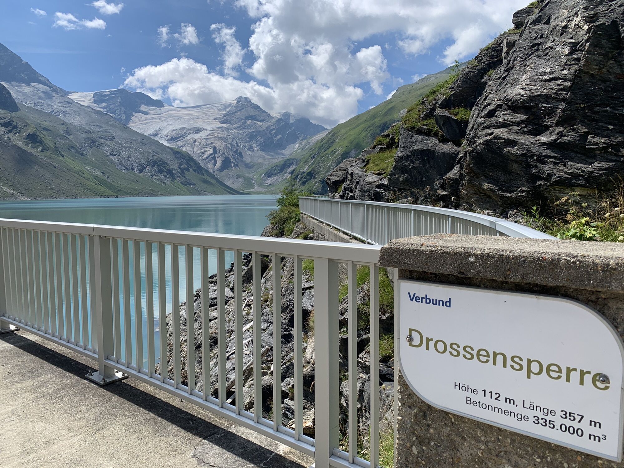
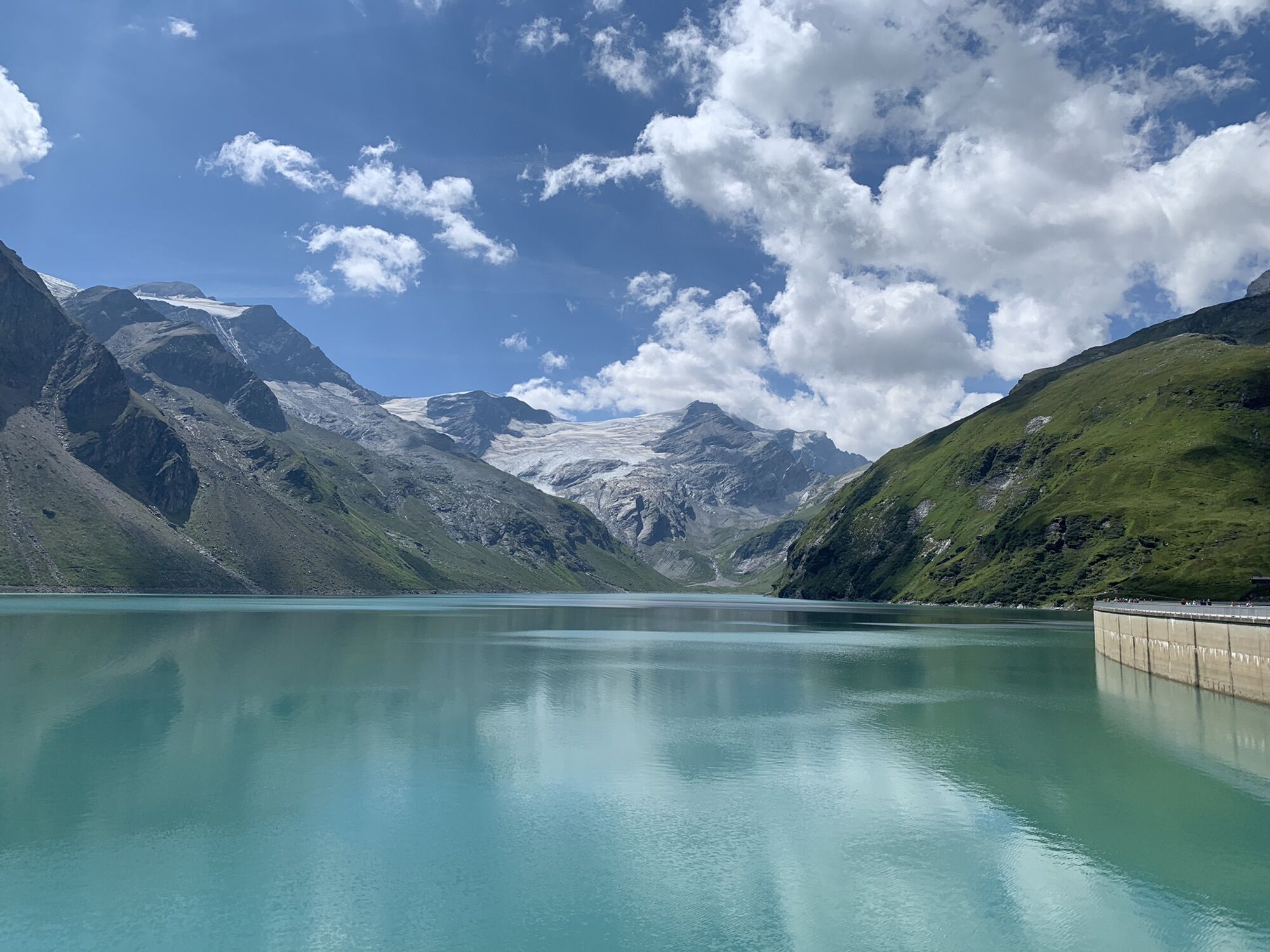
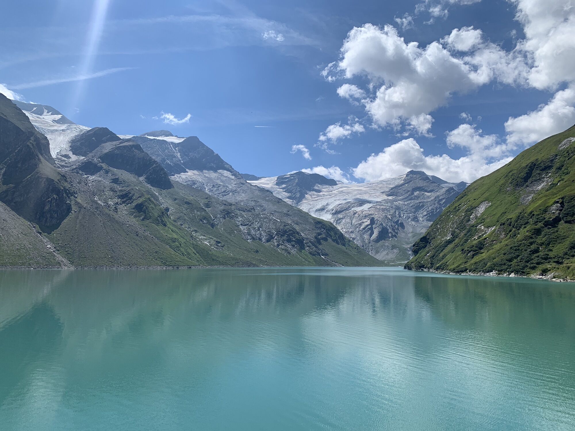
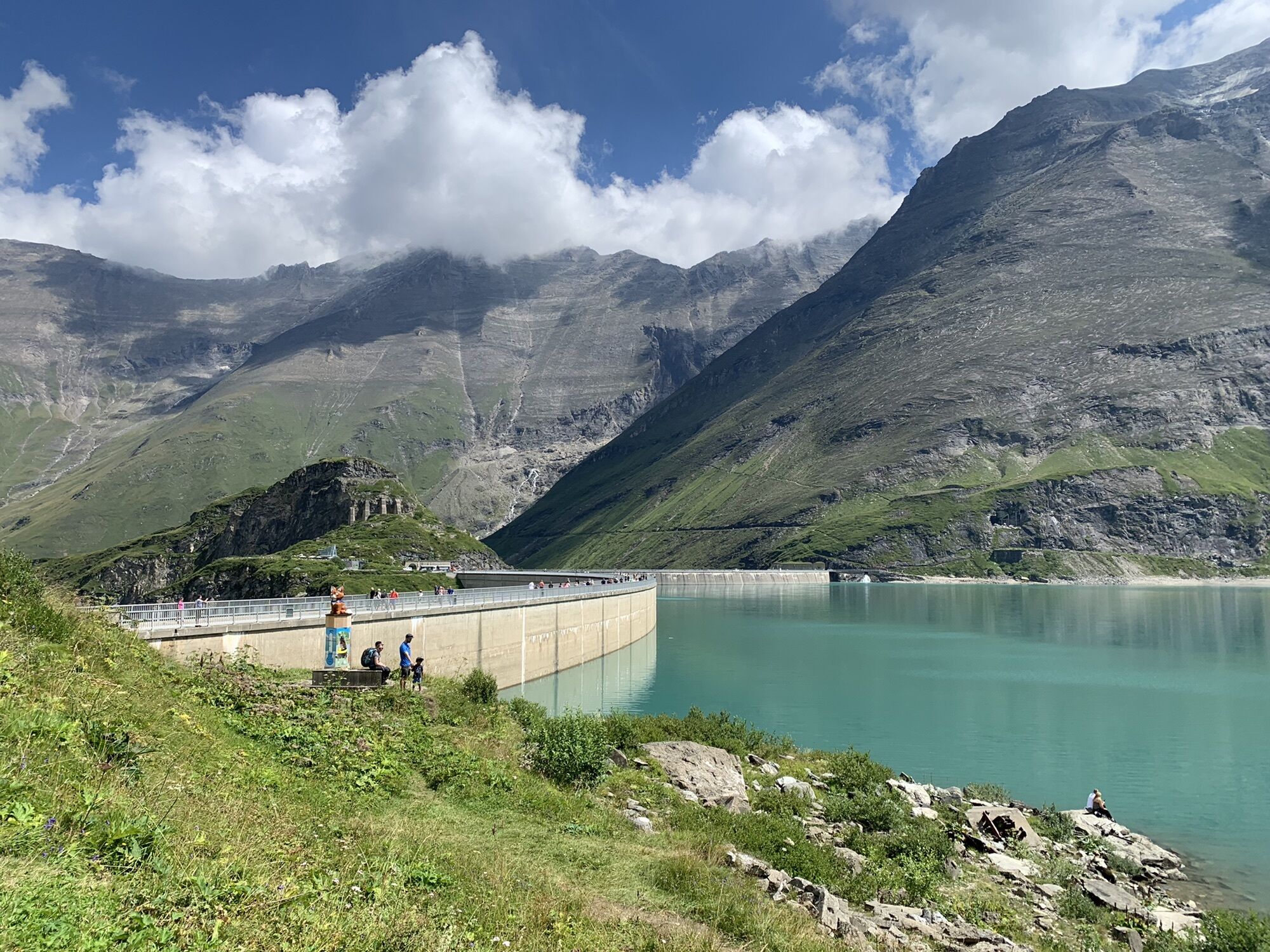
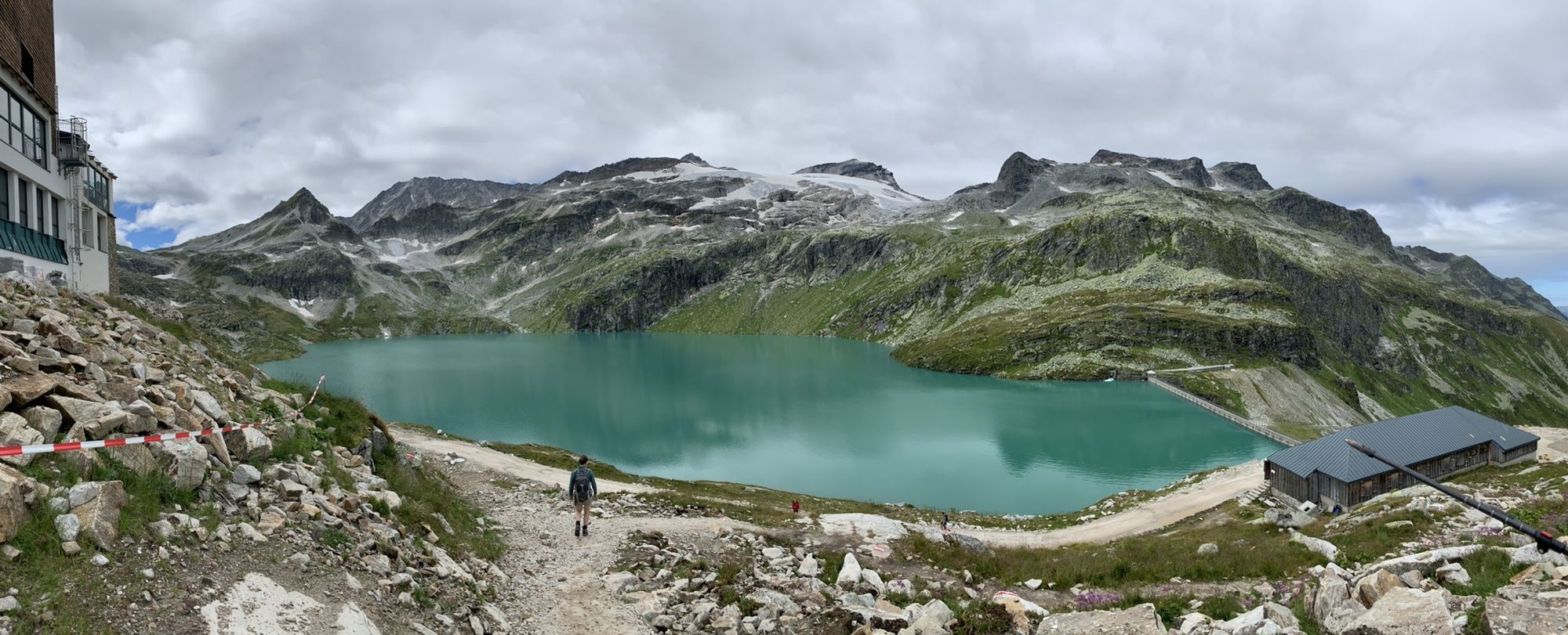


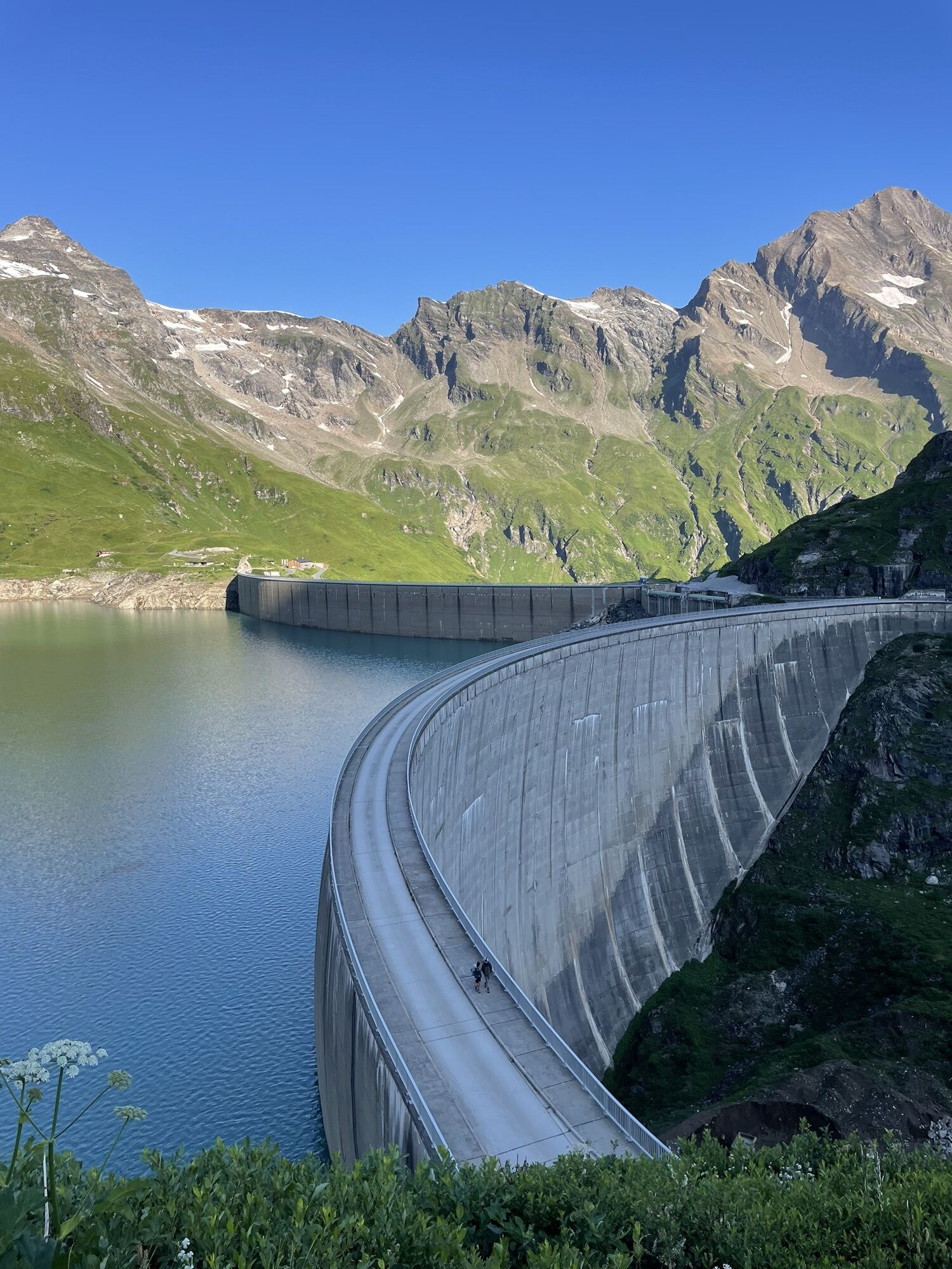
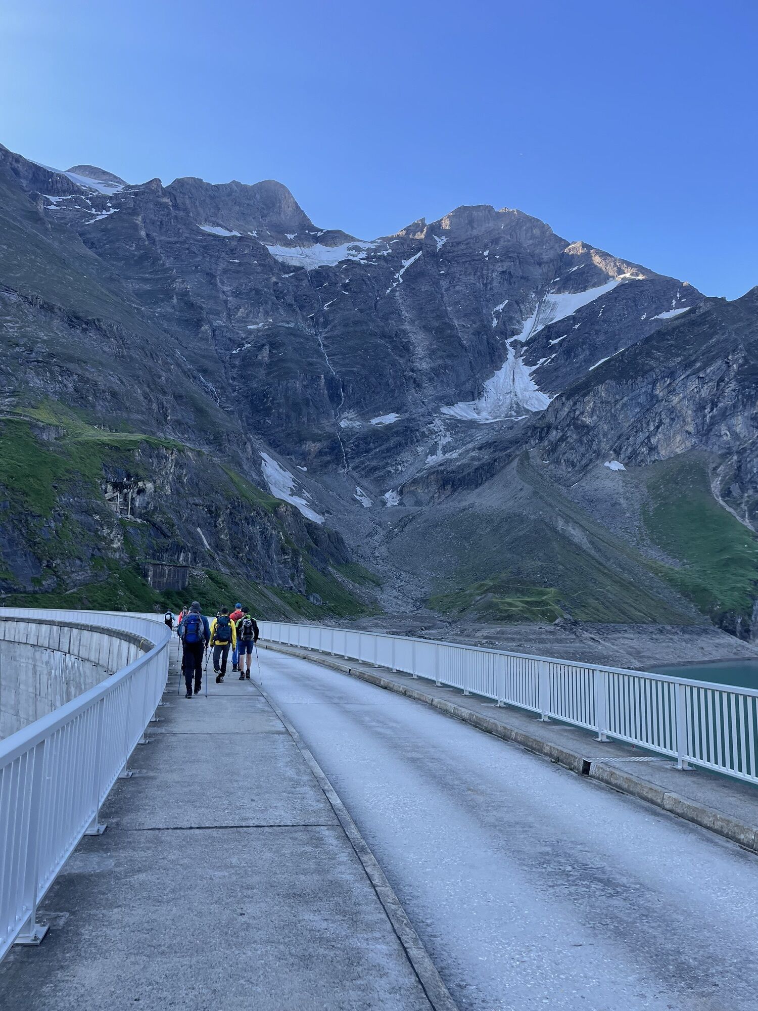
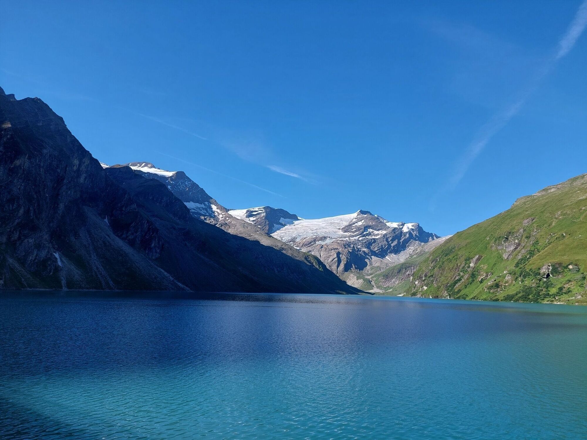
From Kaprun, you can reach the high mountain reservoirs at around 2,000 metres above sea level in around 45 minutes by bus and funicular railway. The starting point is the Mooserboden mountain restaurant....
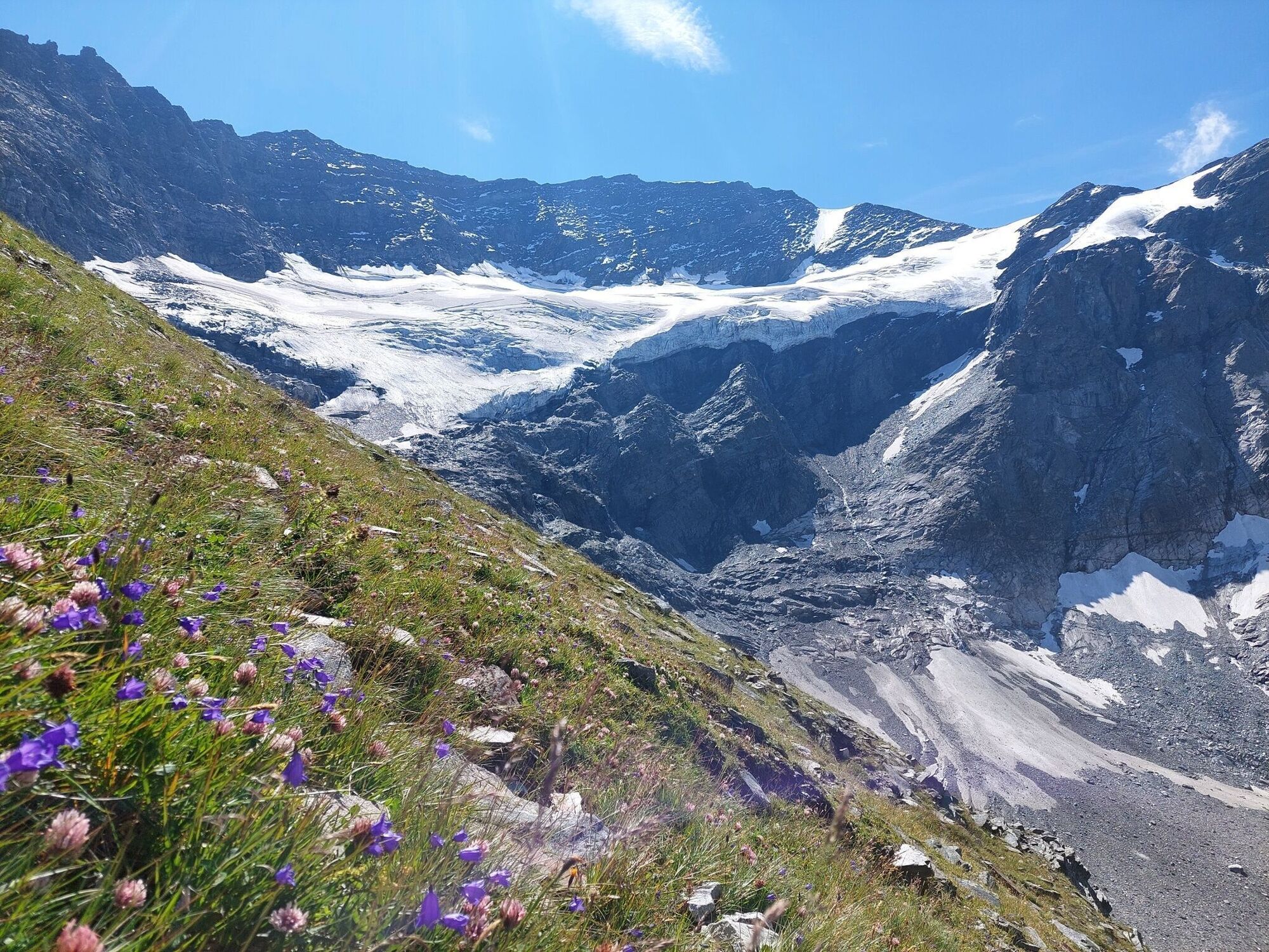
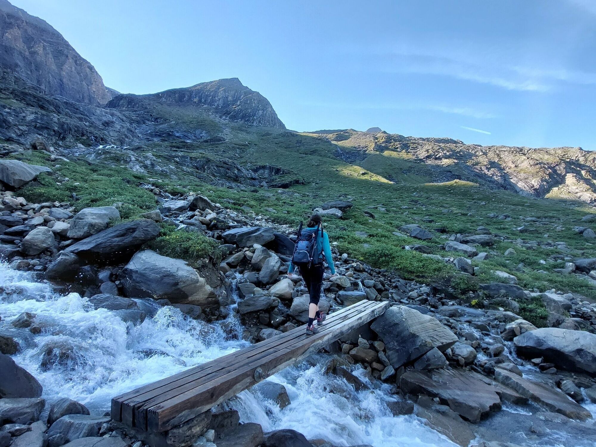
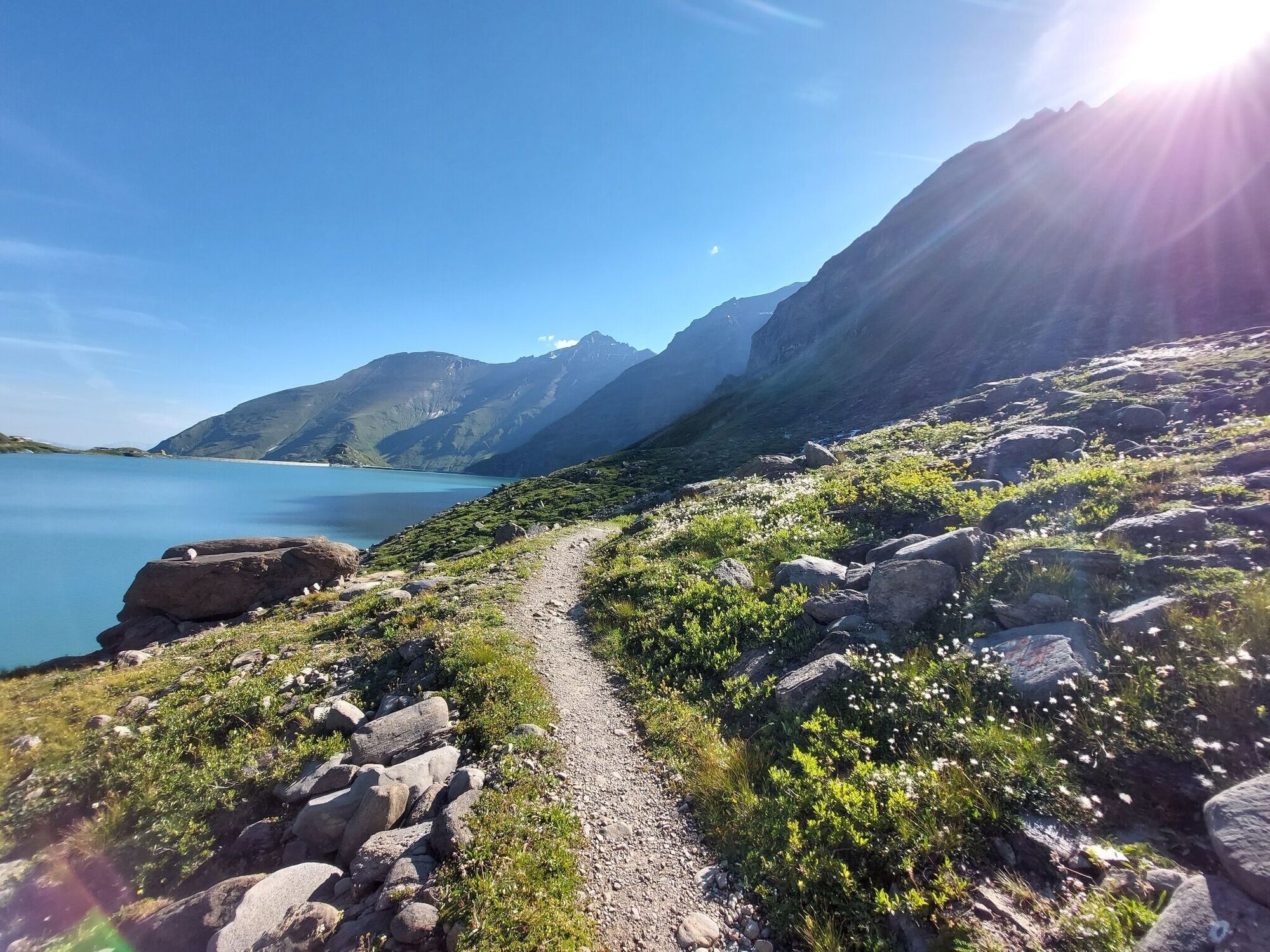
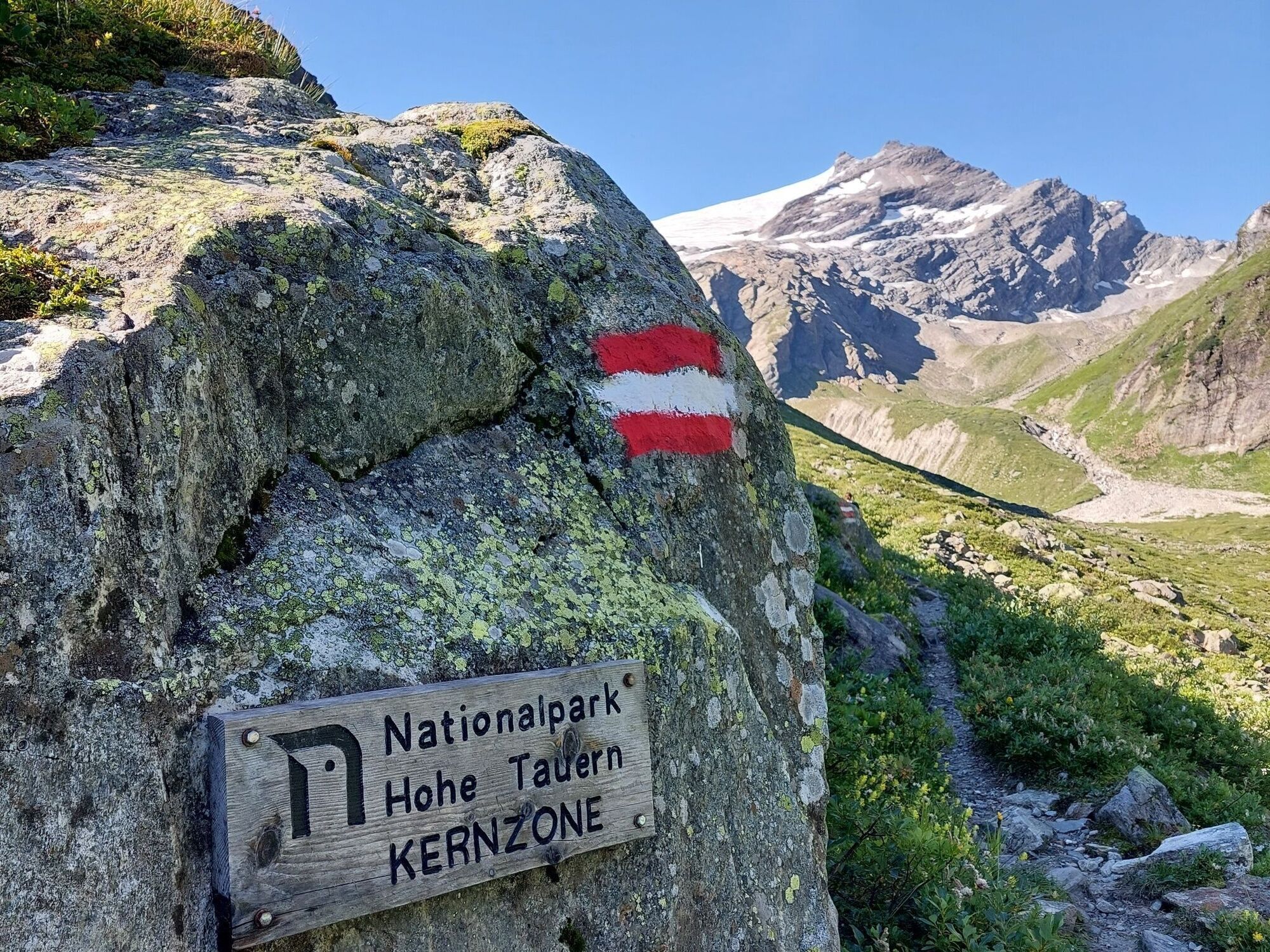
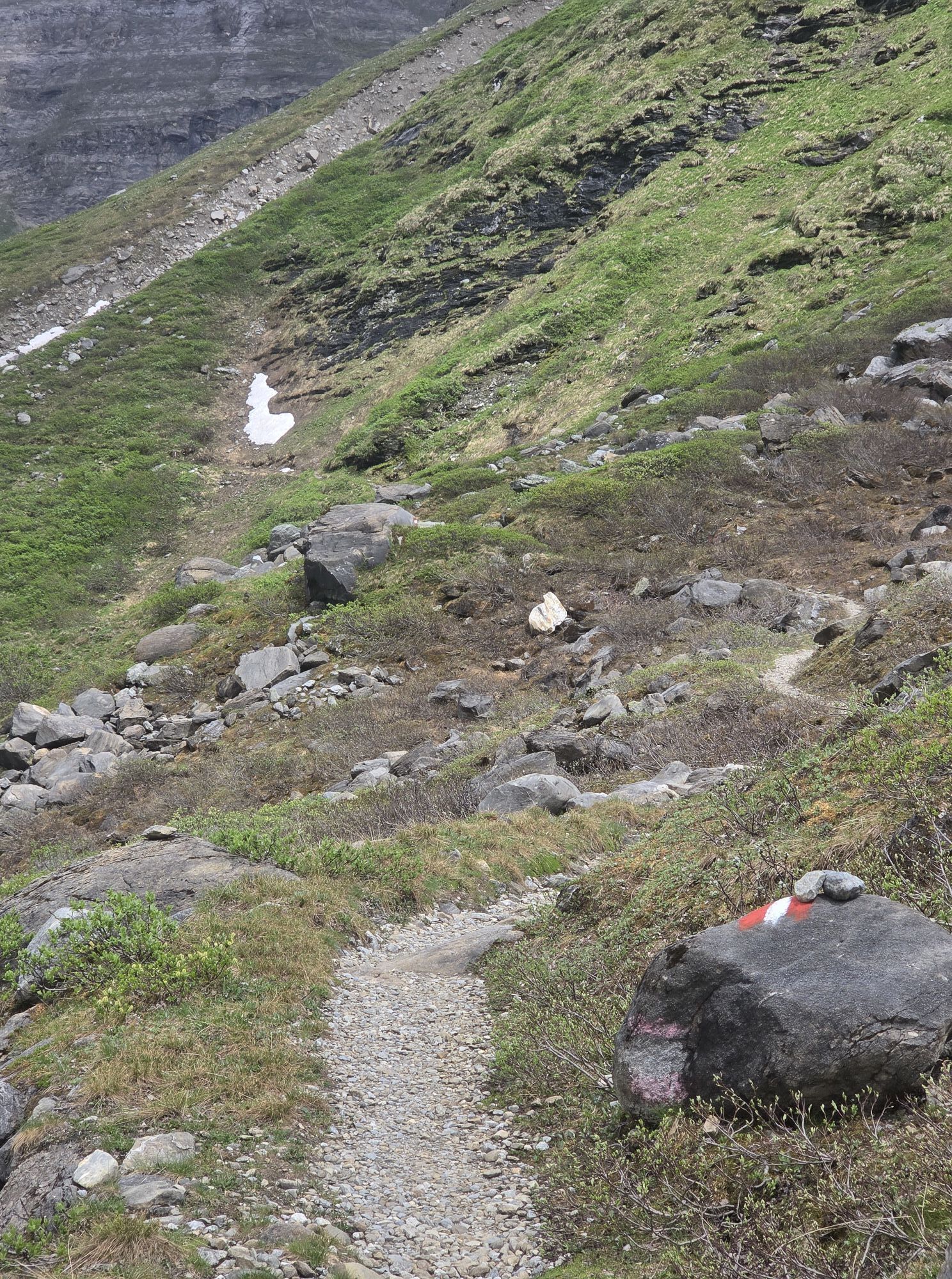
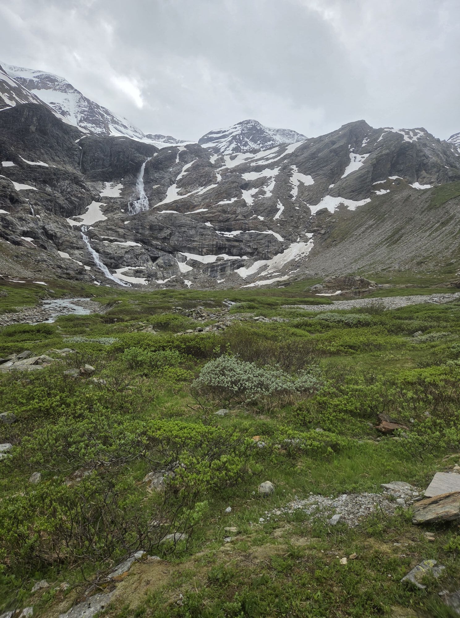
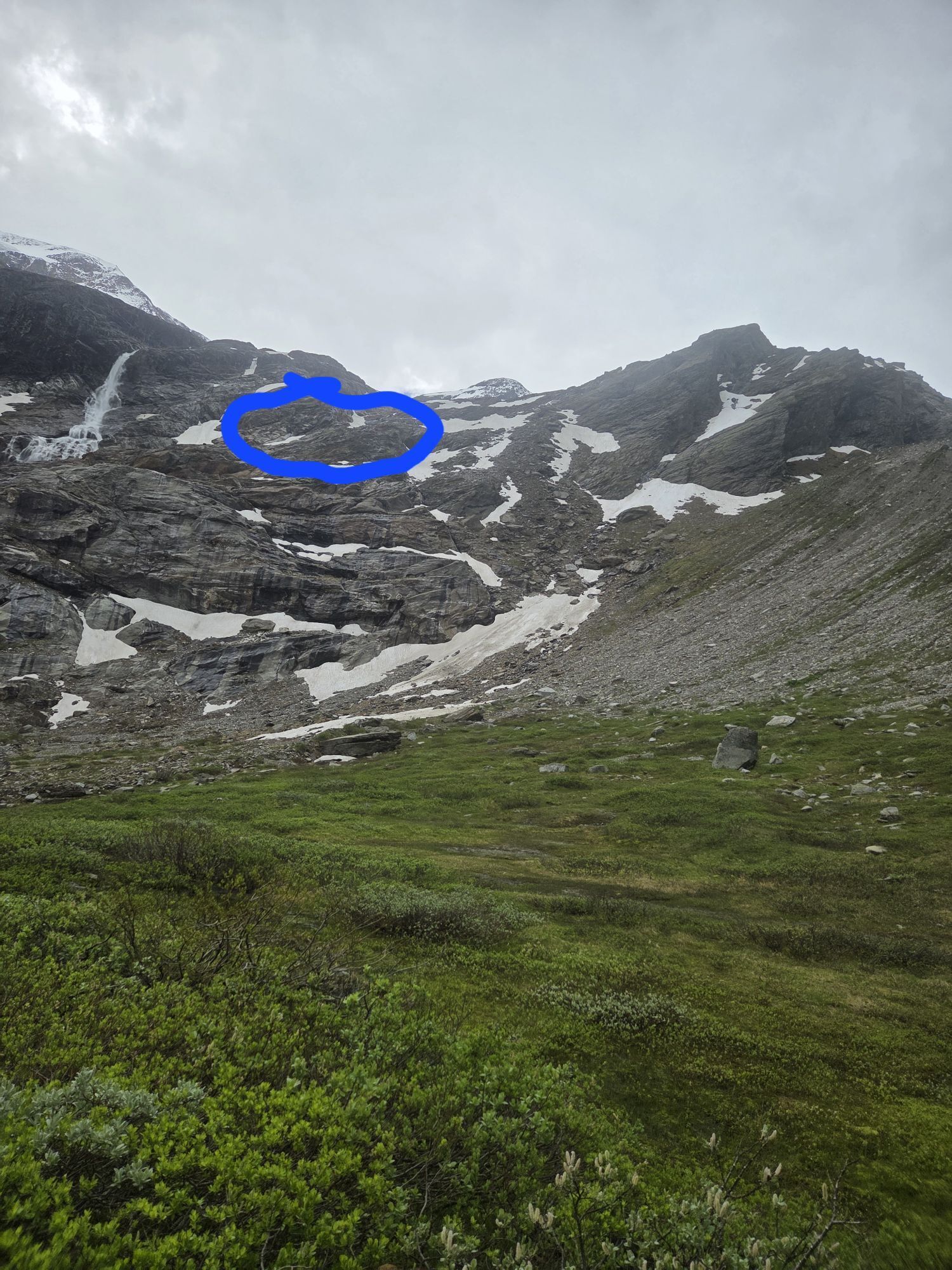
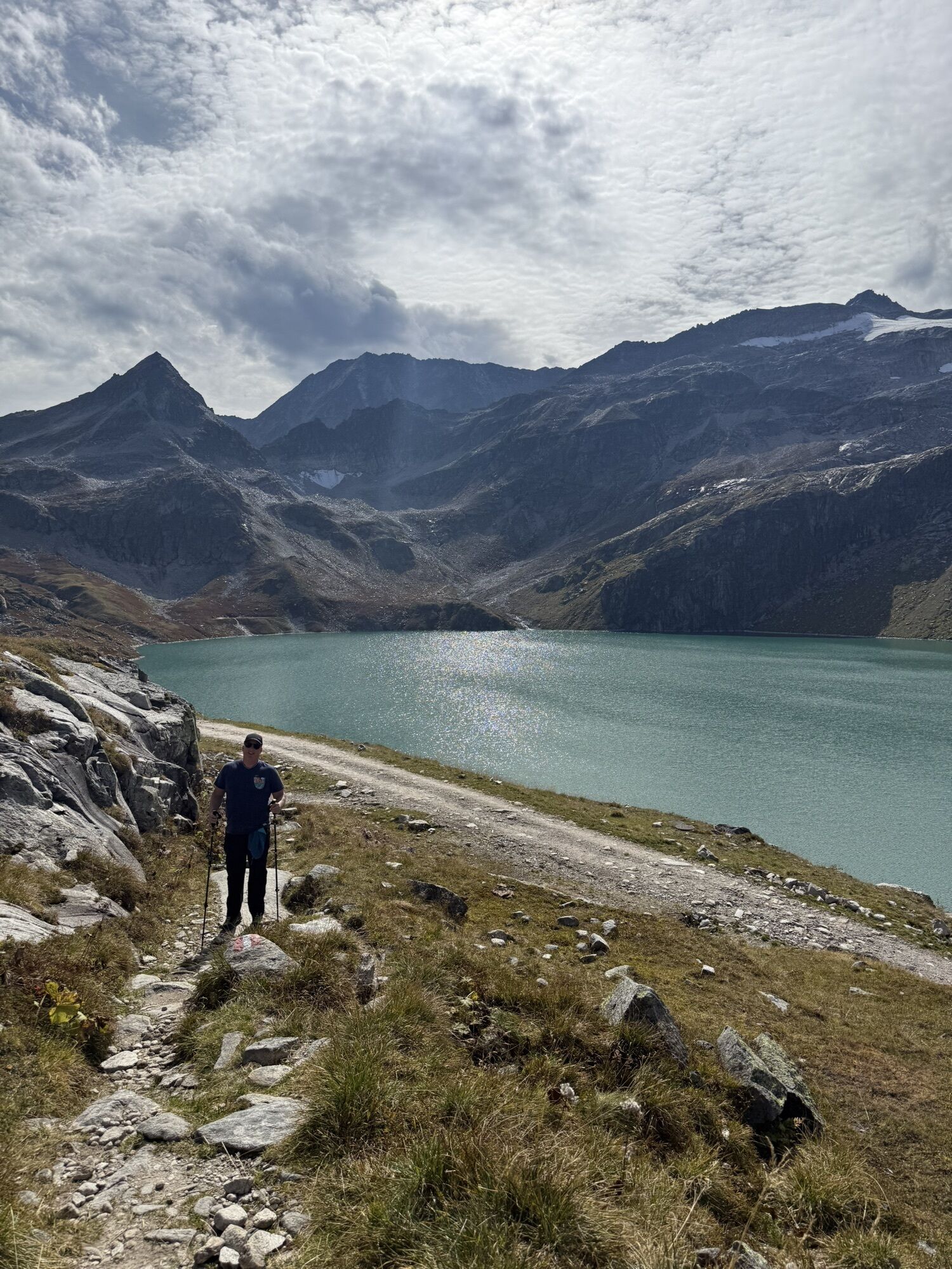
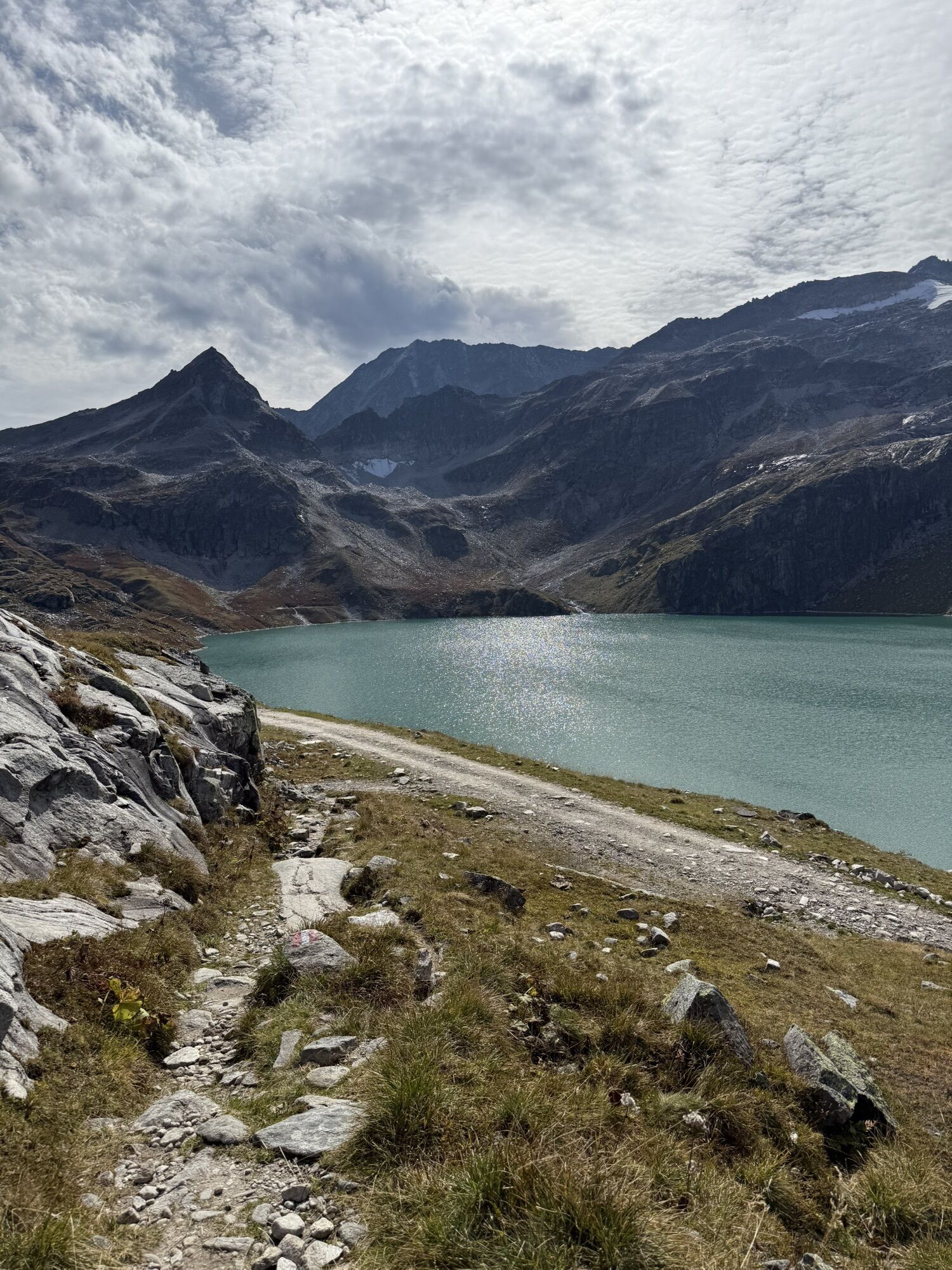
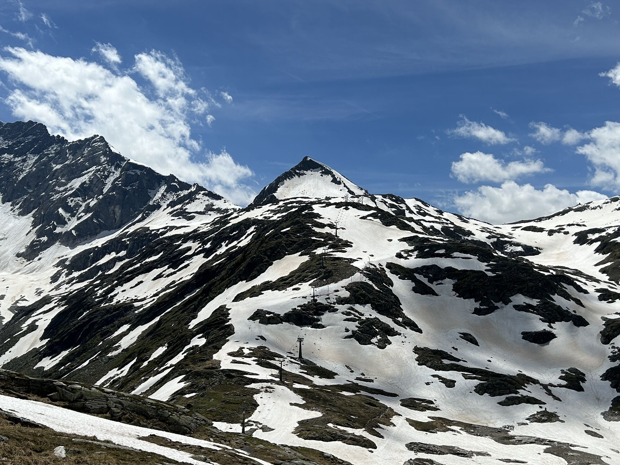
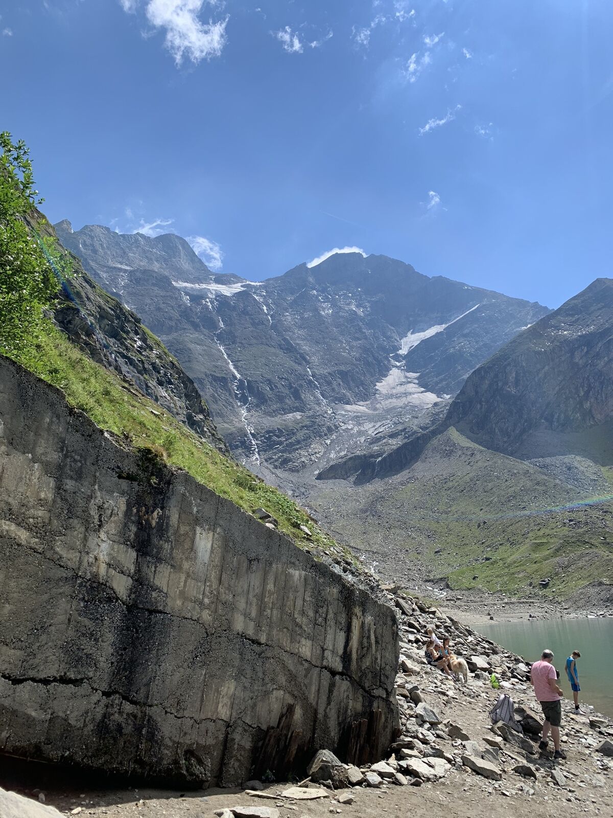
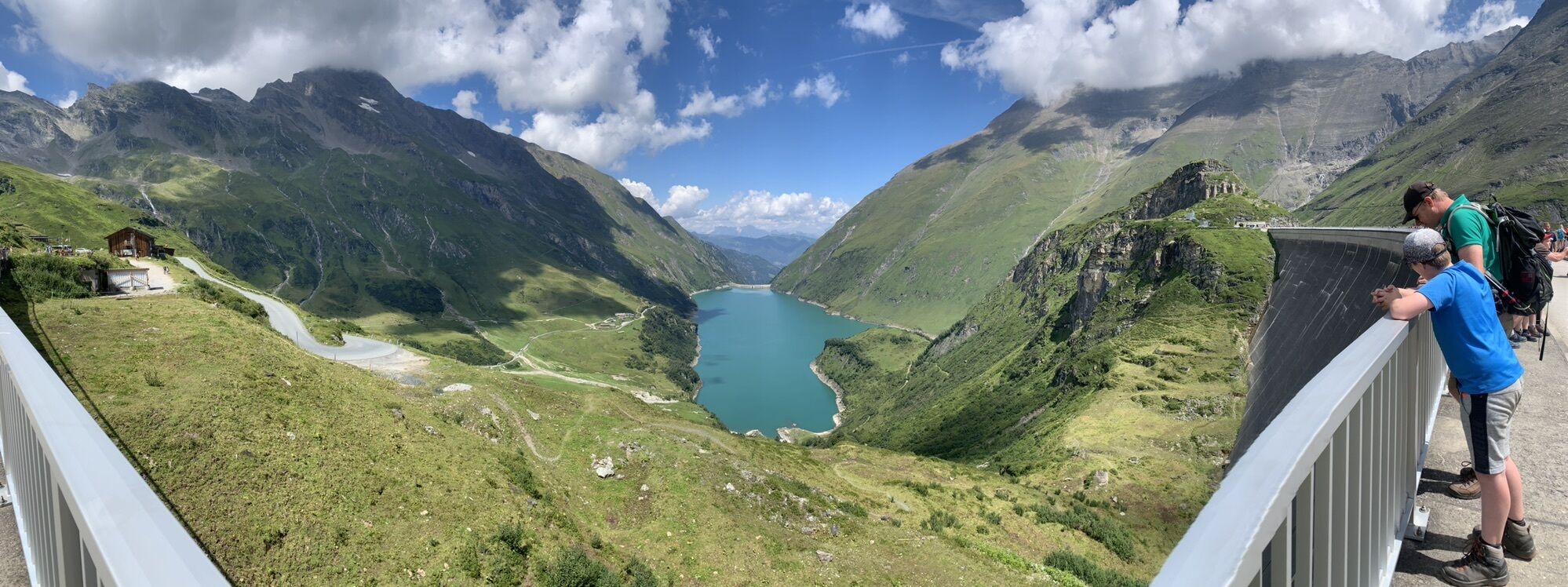
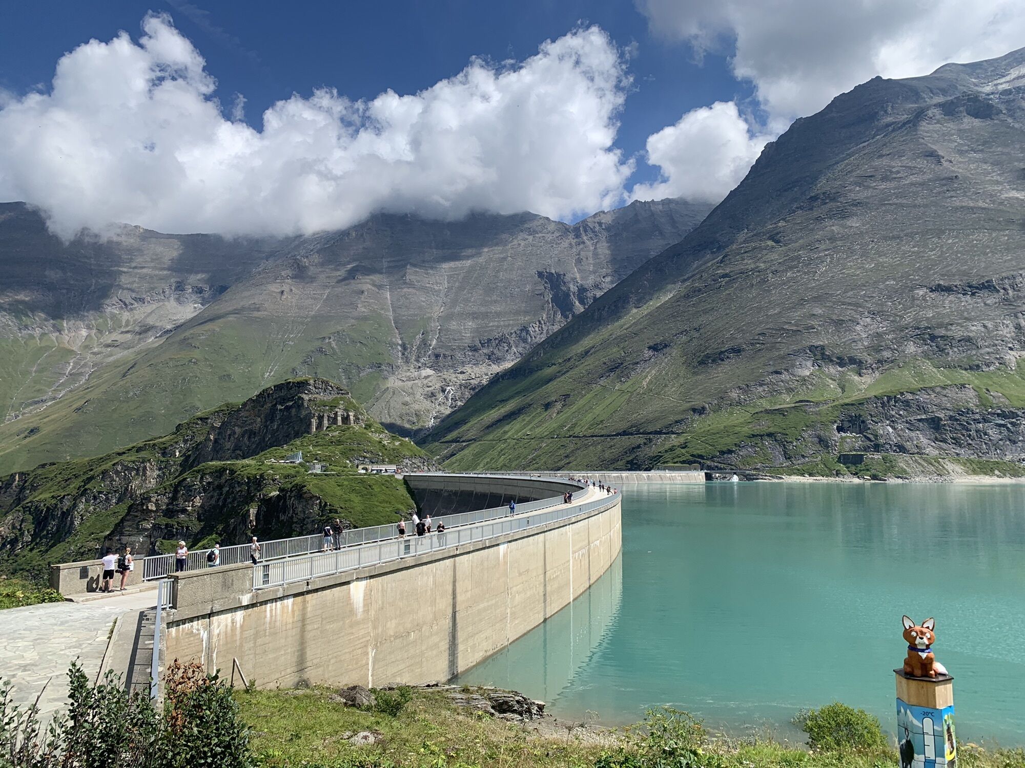
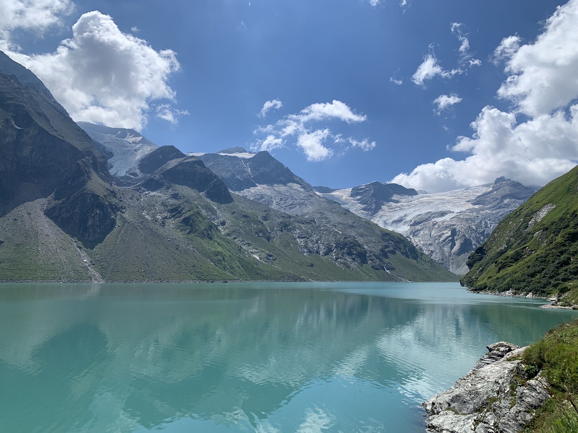
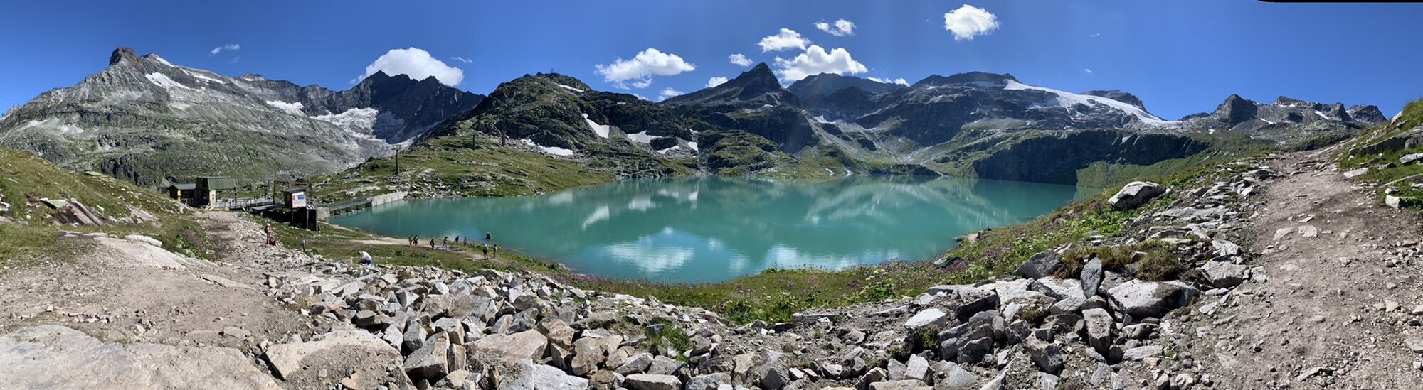
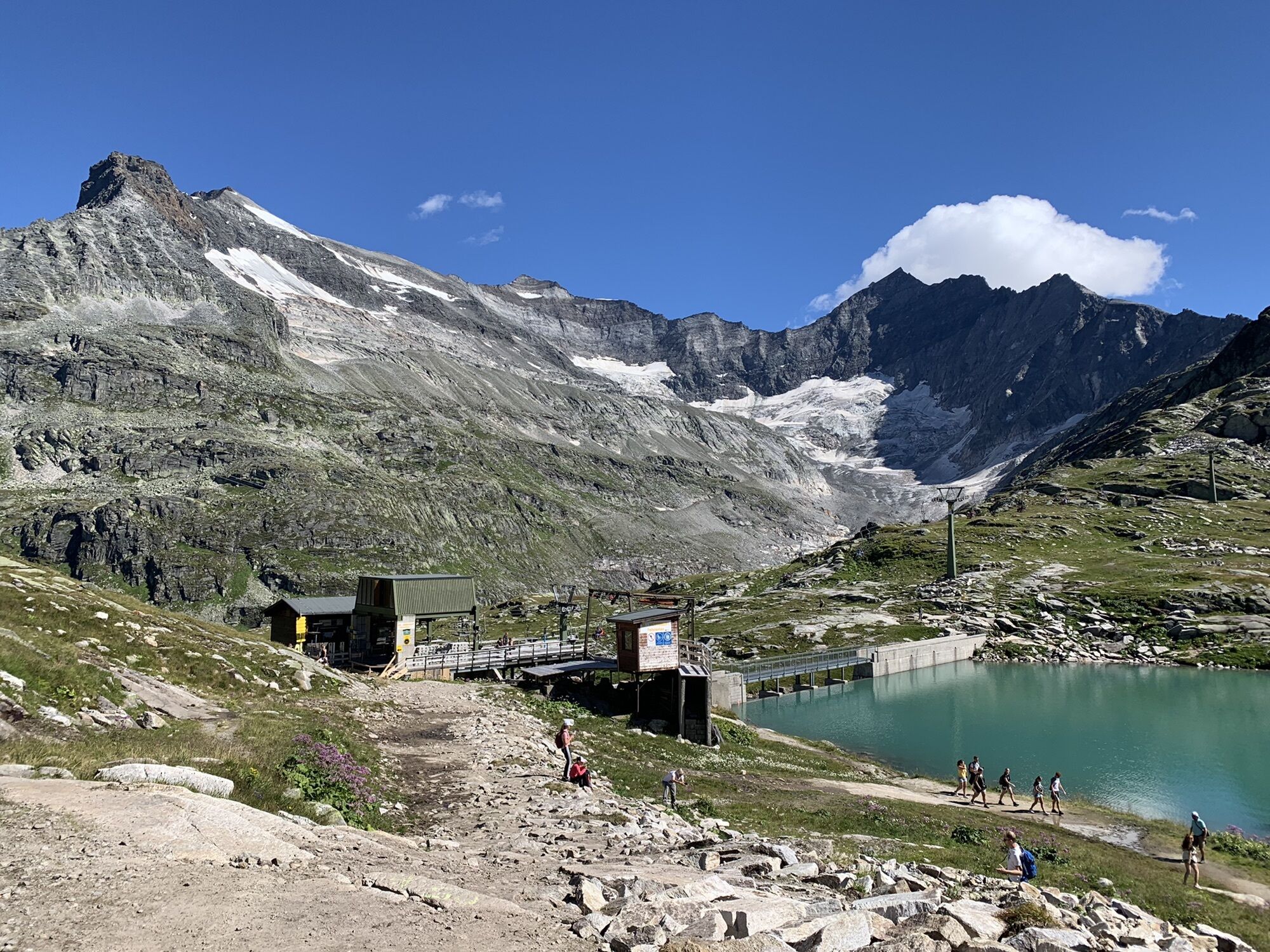
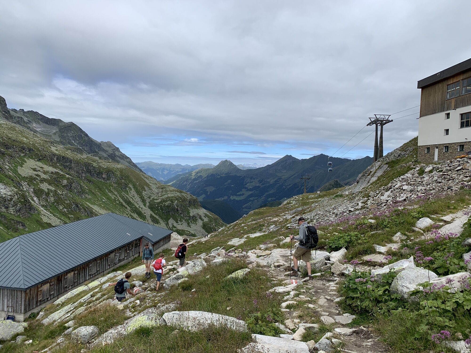
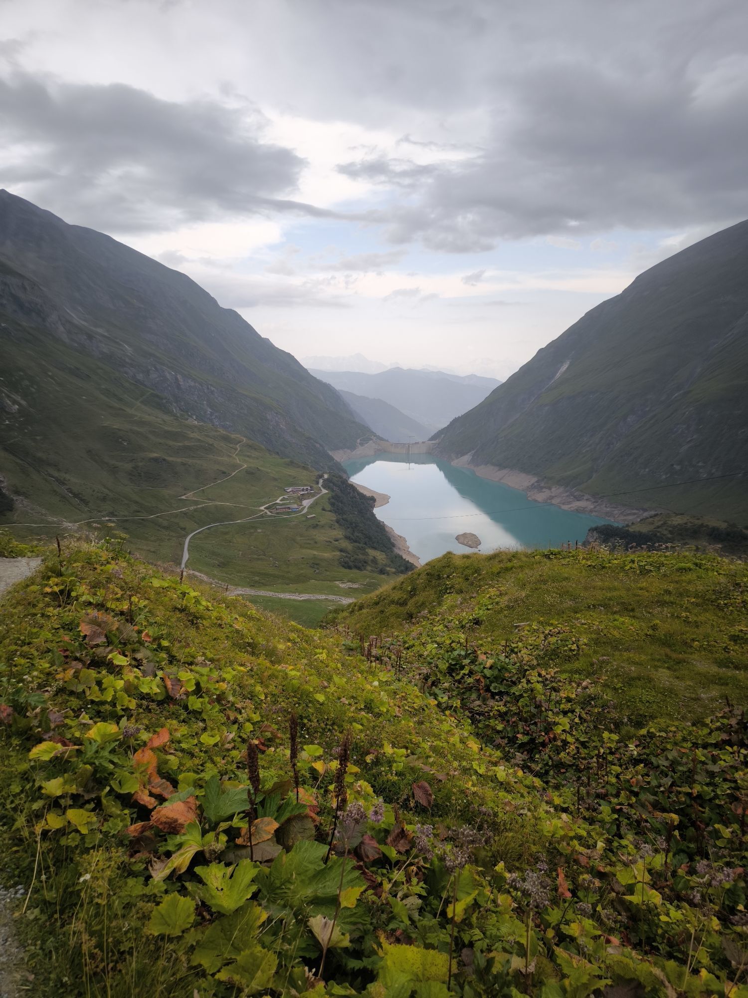
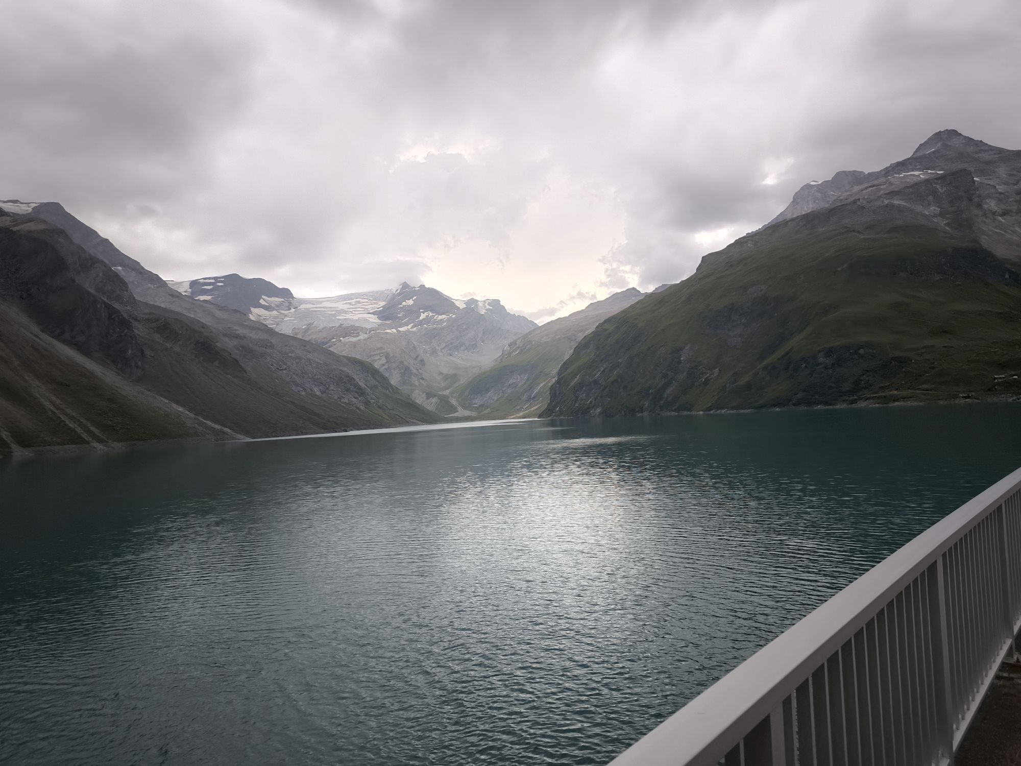
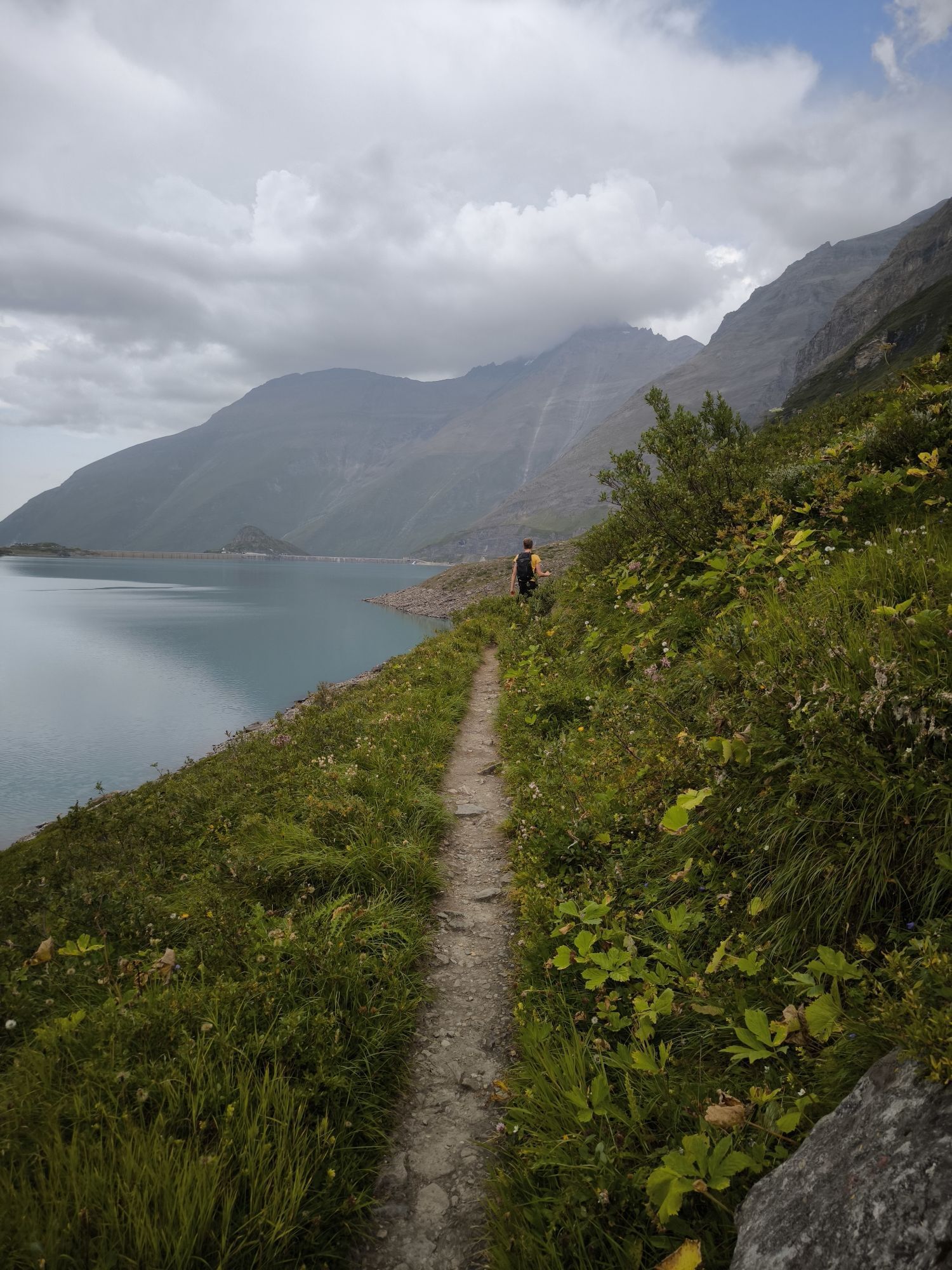
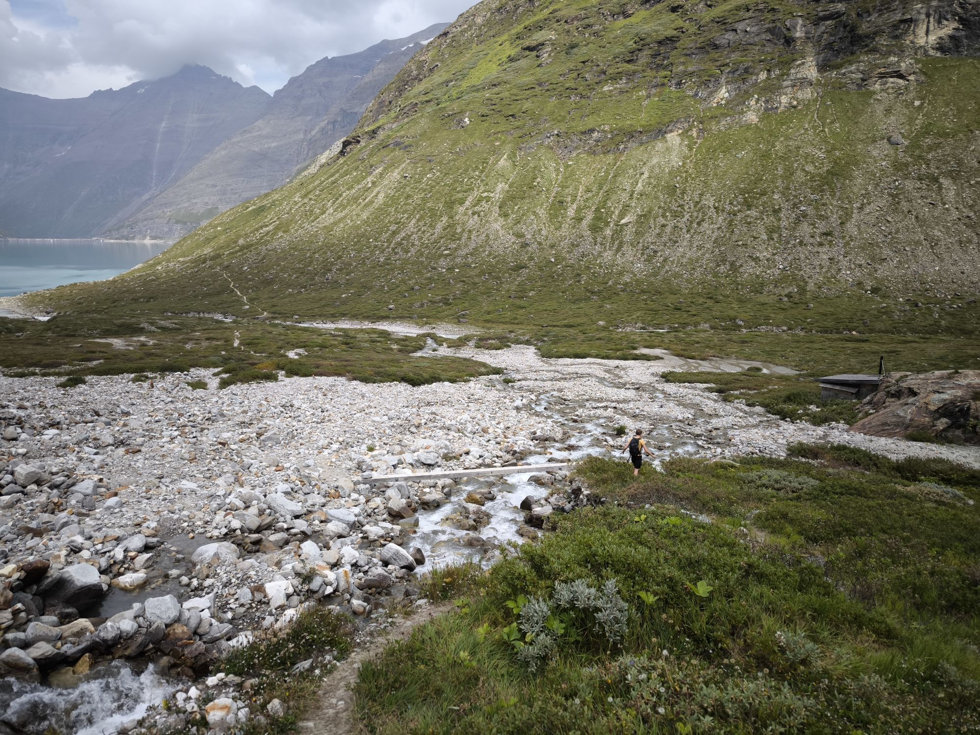
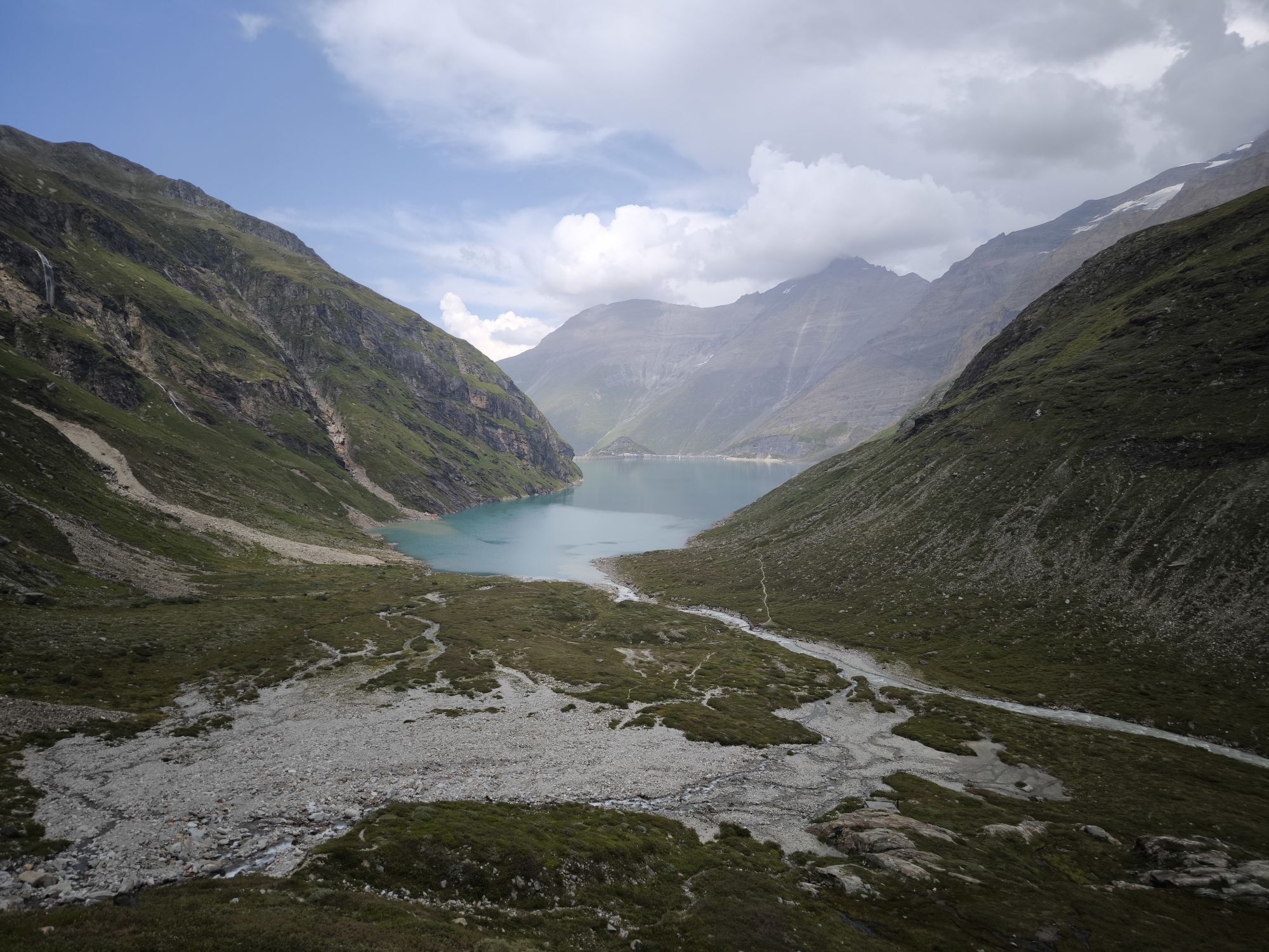
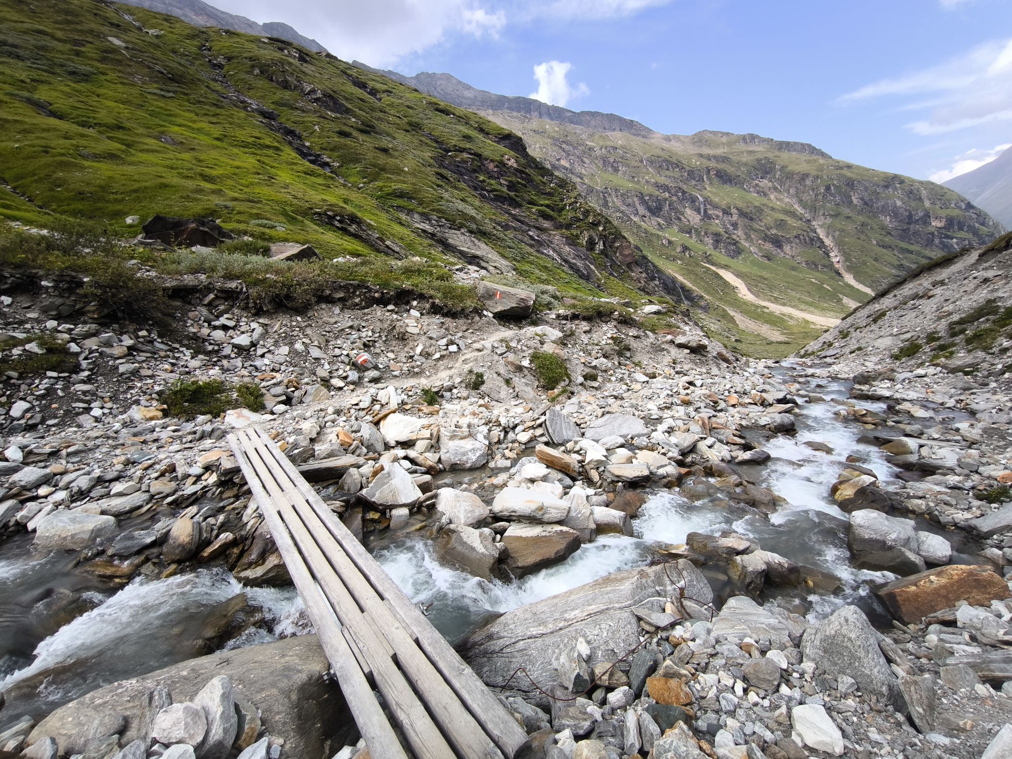
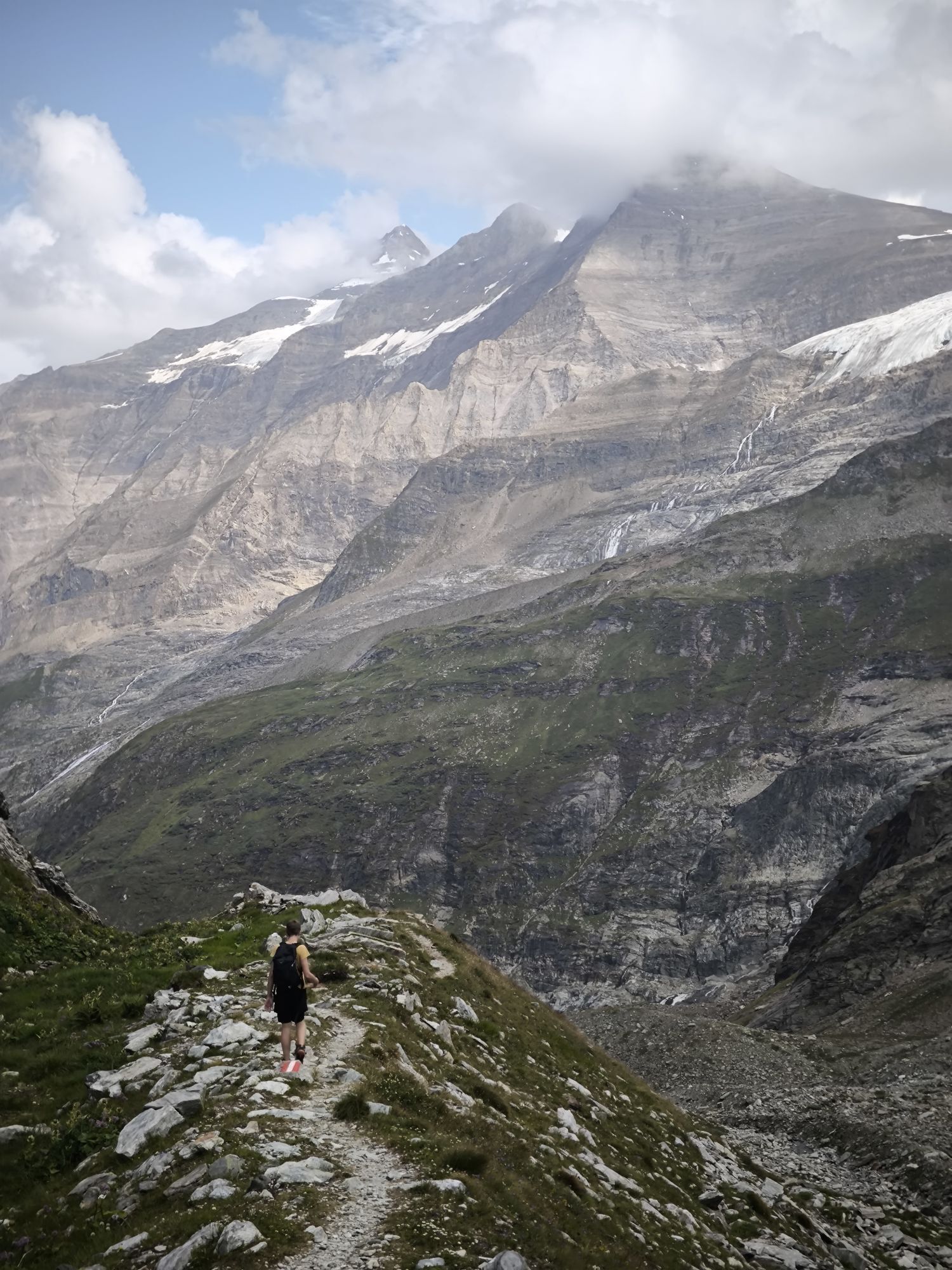
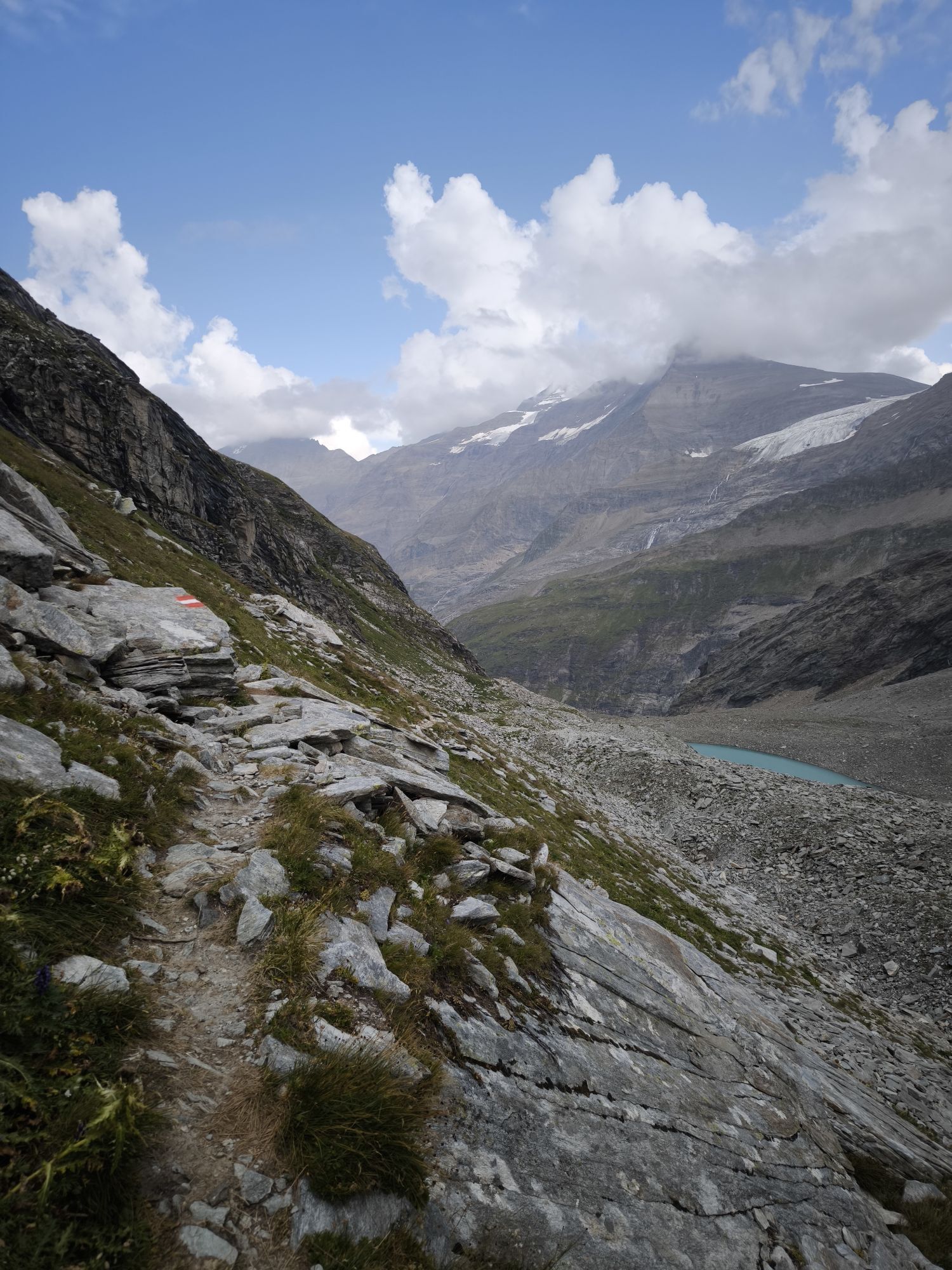
From the Mooserboden make your way along the eastern side of the reservoir. The same path up to the Riffltor and, instead of turning left, continue along the path until the Karlingerbach river crosses it. From here, the path continues up to the Kapruner Törl. Now make your way from the Törl descending again to beneath the Unteren Rifflkeeses and further on to the Hinteren Ochsen-flecke. Fromhere, cross over the river and continue along the path towards the east. The Rudolfshütte is reached by crossing over stone steps.
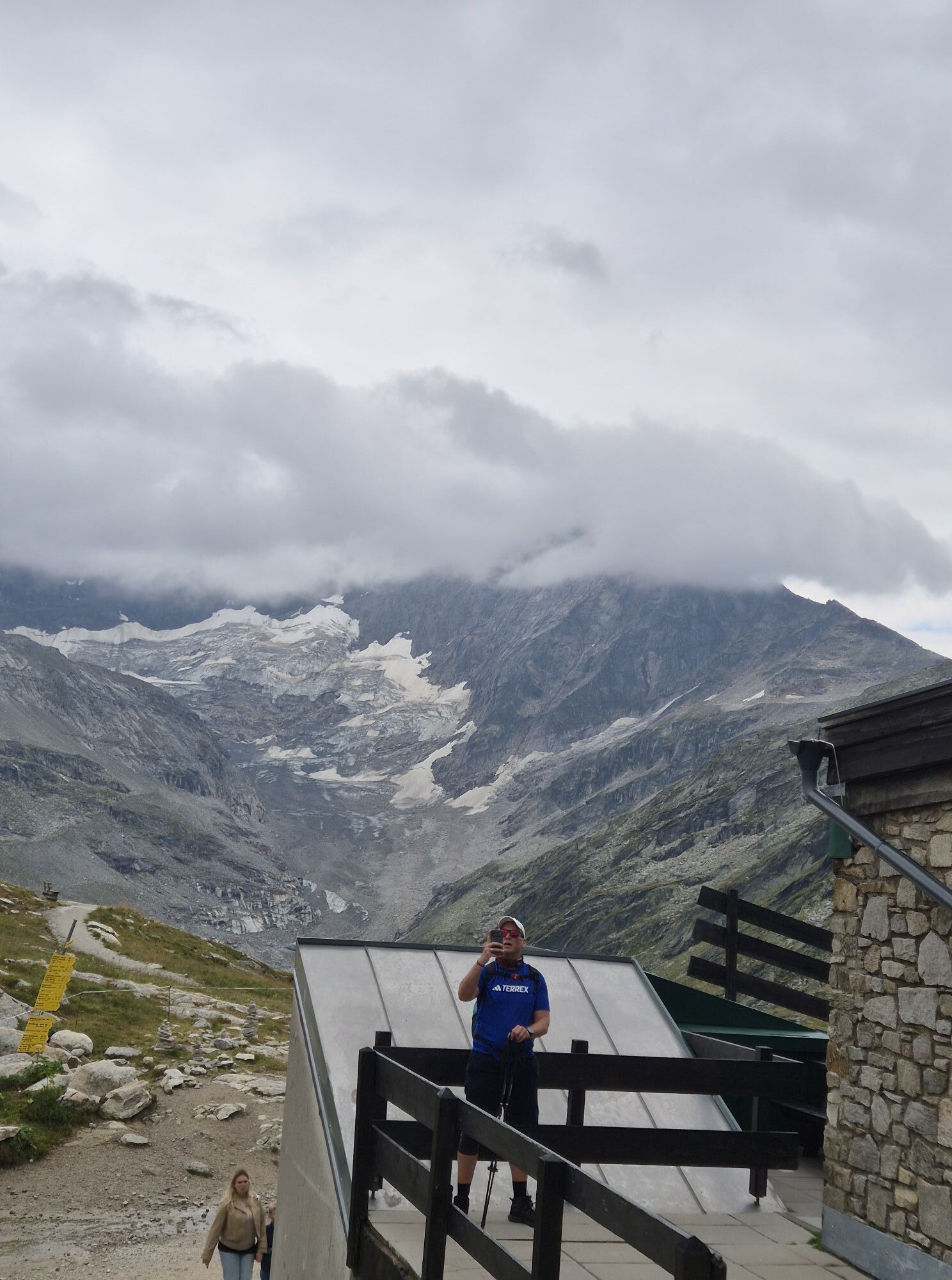
it is a black mountain trail: every participant has to be sure of step and needs a good head for heights. Adequate mountain expertise is necessary here! Sturdy walking shoes, protection against rain and sund and take your water bottle with you!
From Kaprun by bus of taxi to Kesselfall
by bus 660 from Zell am See or Kaprun to Kesselfall (last bus stop)
Back from Enzingerboden to Uttendorf, from Uttendorf to Zell am See and to Kaprun by bus 660.
https://salzburg-verkehr.at/en/
Free parking place at the beginning of Kaprun
Please note that the bus from Enzingerboden does not run that often! Alternatively: Reserve an overnight stay at the Rudolfshütte.
Priljubljeni izleti v okolici
- 4,9
Glockner
srednjaVisokogorska tura 19 km - 4,8
Sigmund Thun Klamm, Klammsee, Bürgkogel
svetlobaPohodništvo 4,56 km - 5,0
Figerhorn, 2743m, Lucknerhaus
srednjaPohodništvo 6,69 km - 4,1
Glacier Route to the Pasterze with Gamsgrubenweg (up to Tunnel 6)
srednjaPohodništvo 8,05 km - 4,4
Sigmund Thun Klamm
svetlobaPohodništvo 3,10 km - 4,3
Stüdlhütte -Großglockner
Pohodništvo 4,68 km - 4,9
Kaiser-Franz-Josefs-Höhe to Oberwalderhütte
težkoPohodništvo 5,52 km - 4,2
Lucknerhaus zur Glorerhütte über Lucknerhütte zurück
srednjaPohodništvo 11,2 km - 4,9
Großes Wiesbachhorn 3564 mnv Kaprun, Austrija
težkoPohodništvo 13,4 km - 3,9
Großglockner Hochalpenstrasse
težkoKolesarjenje 20,2 km
Pohodništvo in sledenje


Ne zamudite ponudb in navdiha za naslednje počitnice
Vaš e-poštni naslov je bil dodan na poštni seznam.