







Großarl: Filzmoosalm - Filzmoossattel - Filzmooshörndl - Remsteinkopf - Bichlalm

Stopnja težavnosti: T2
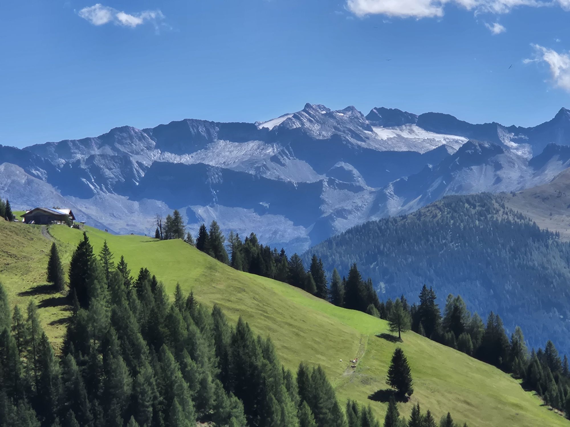
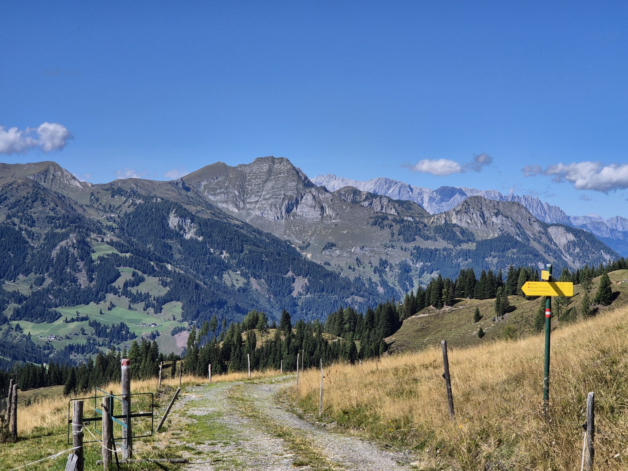
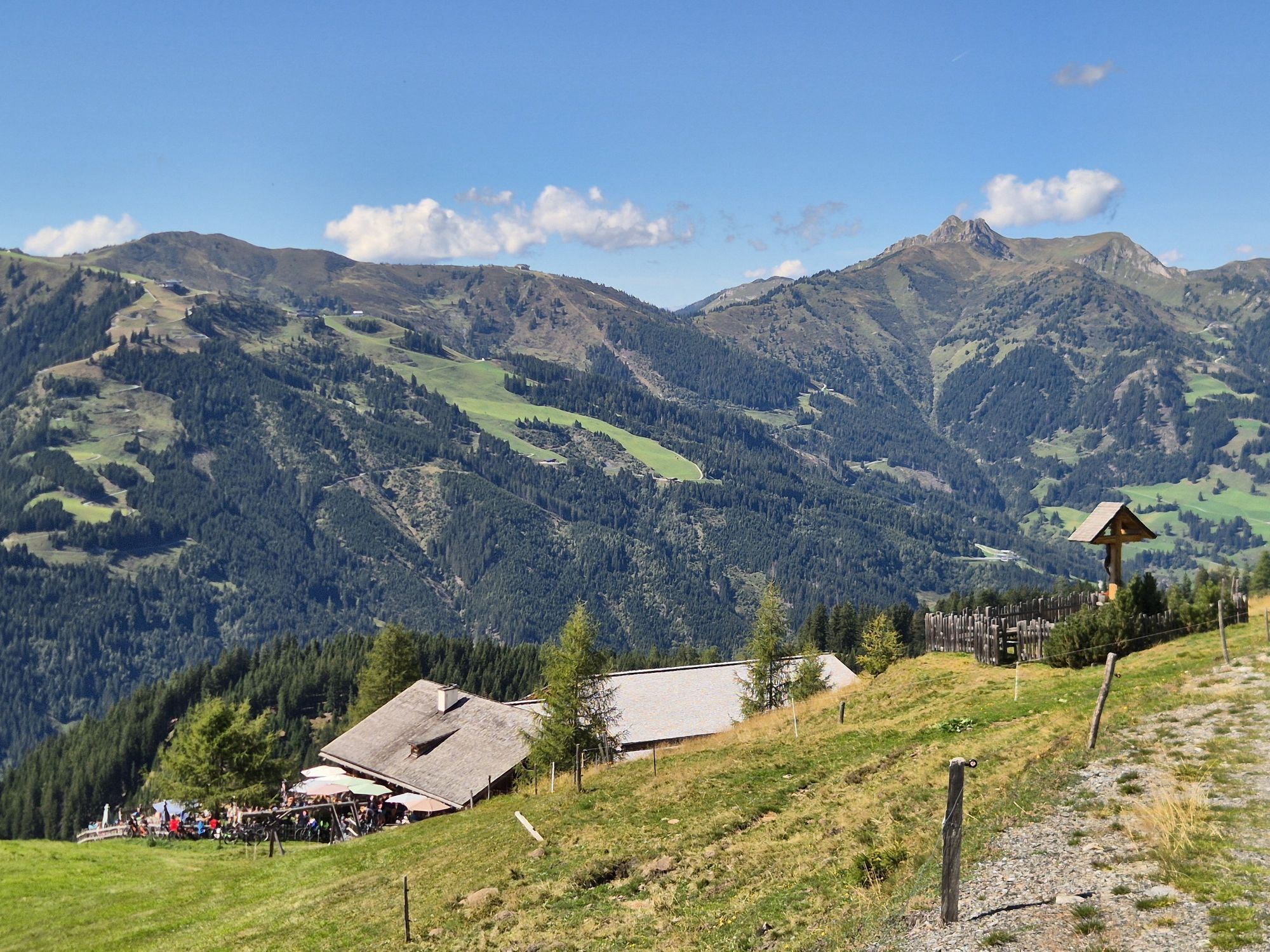
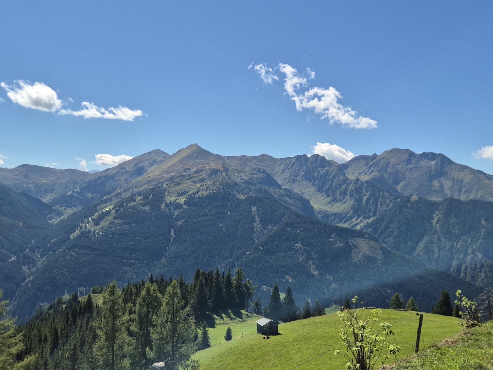
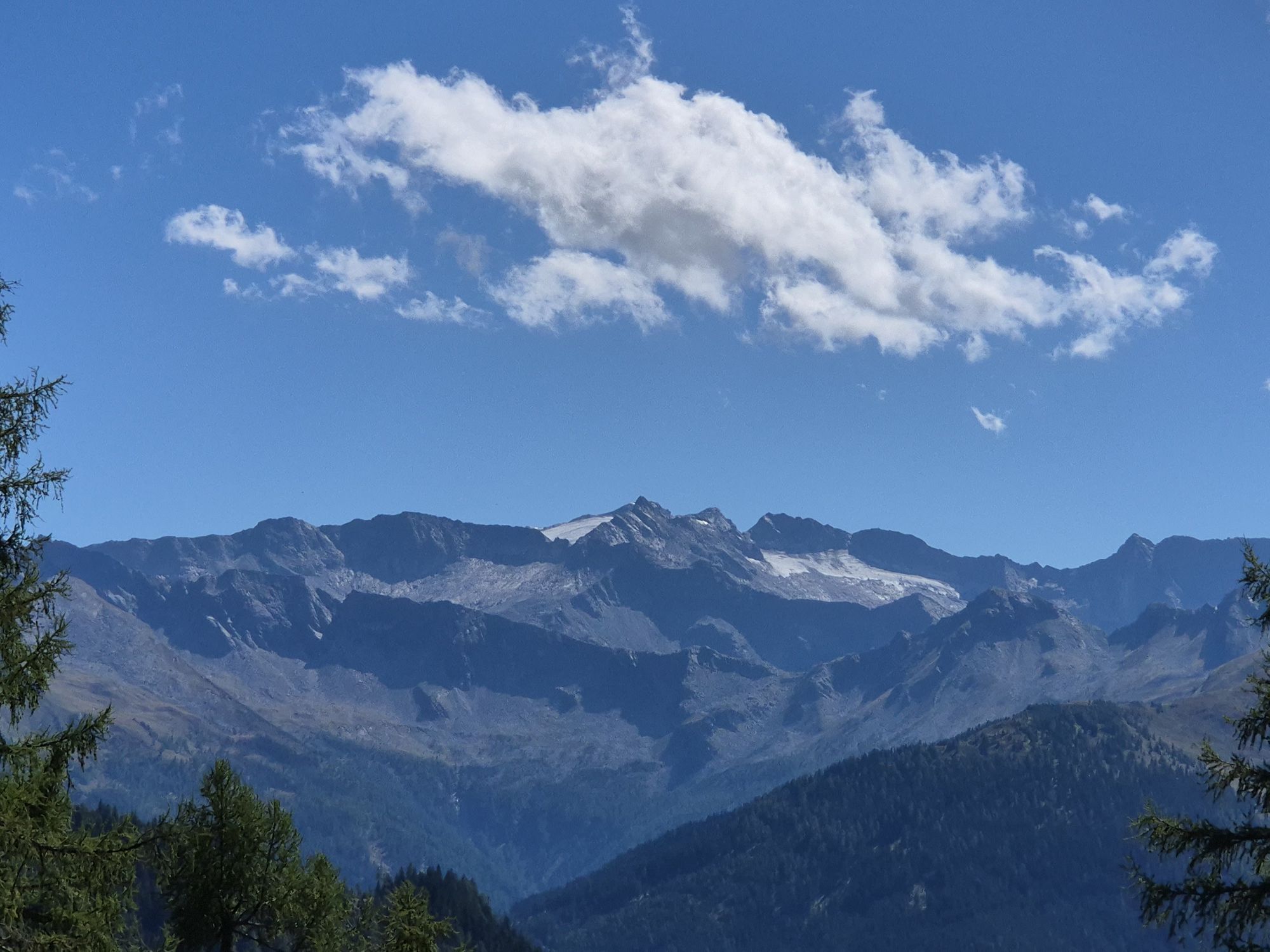
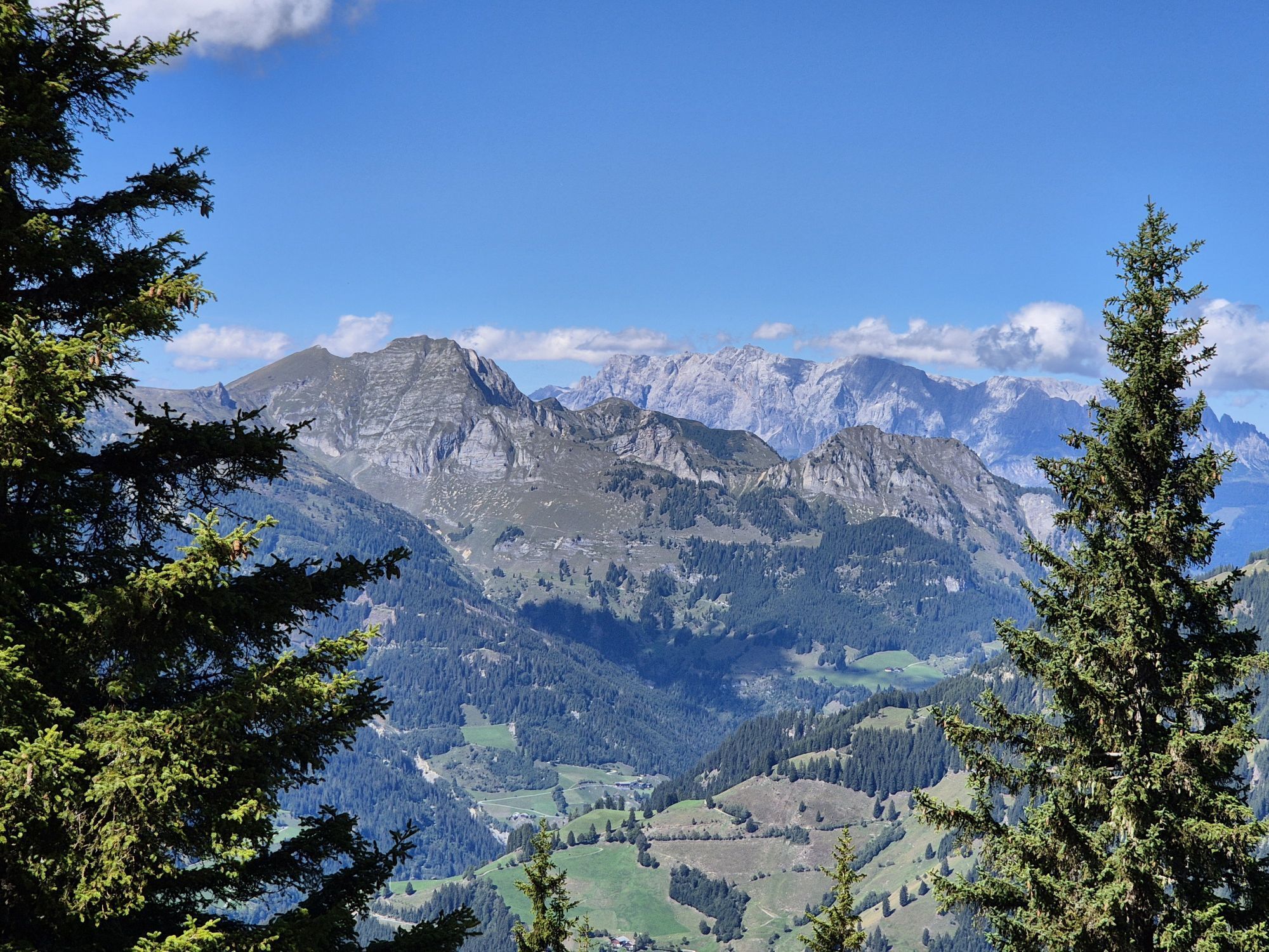
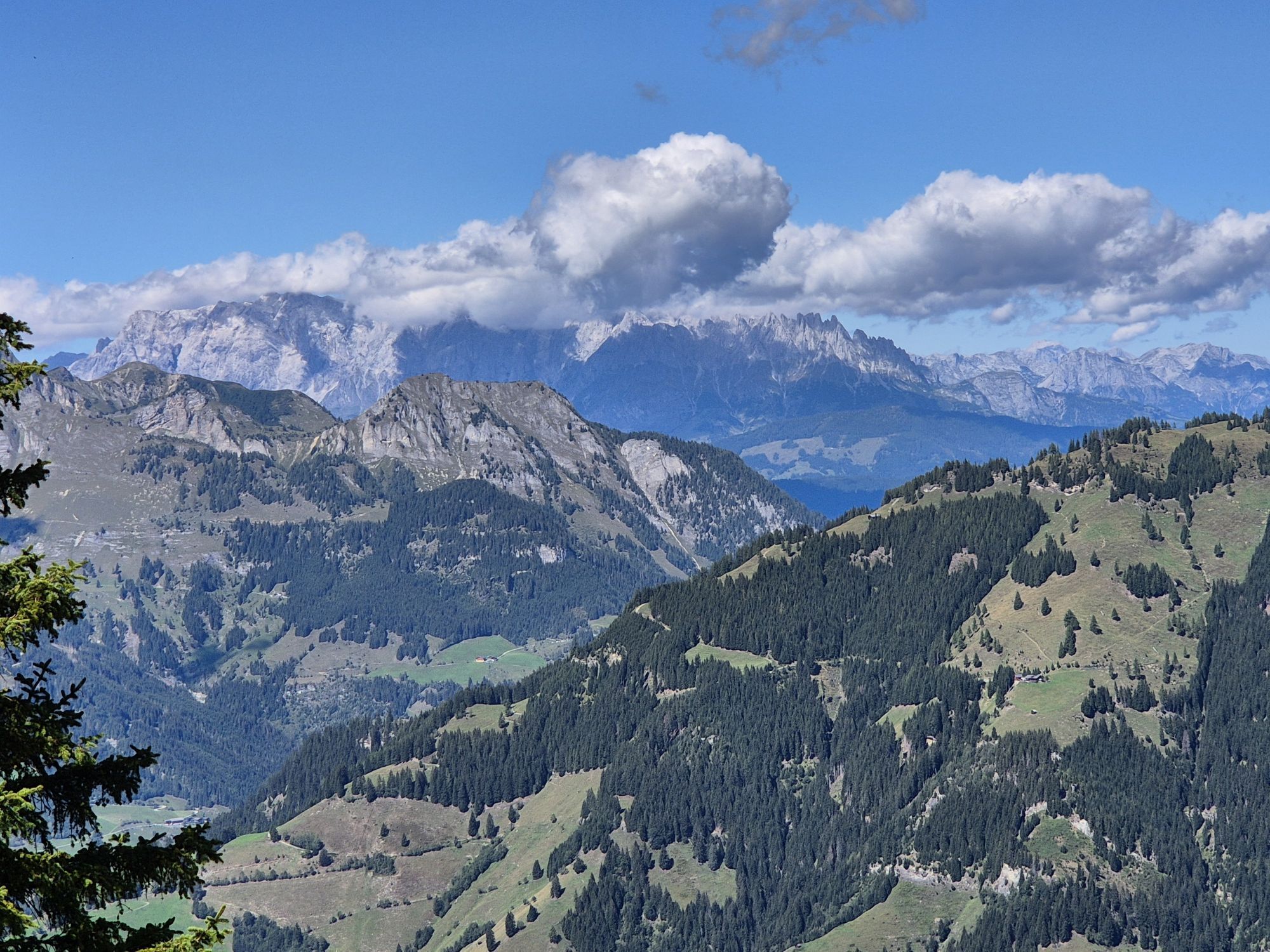
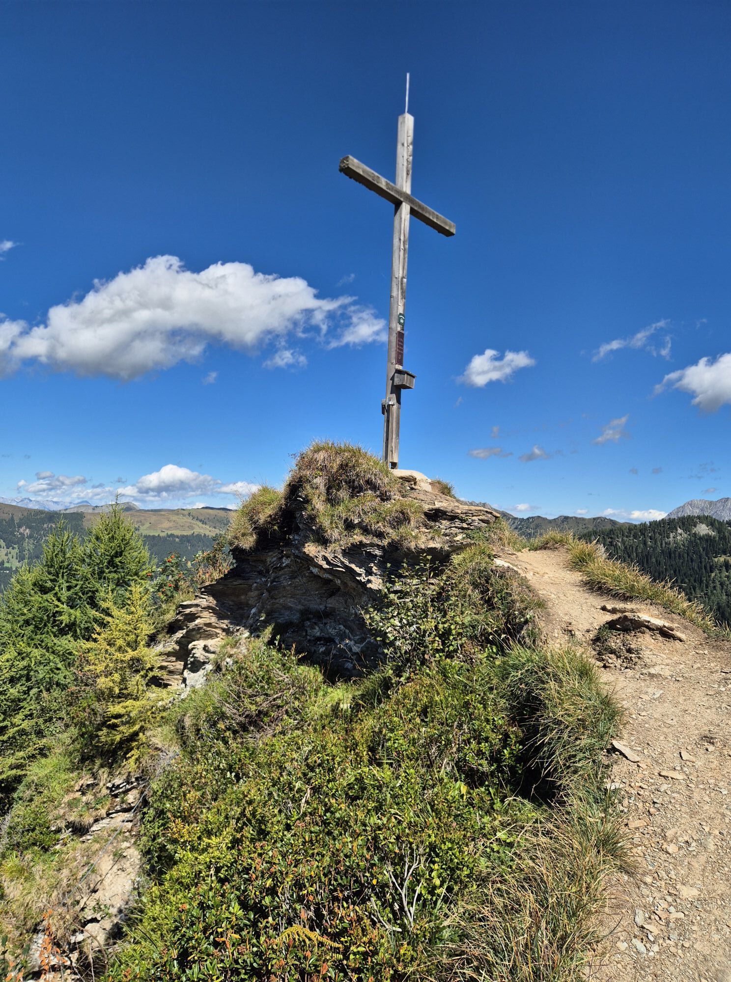
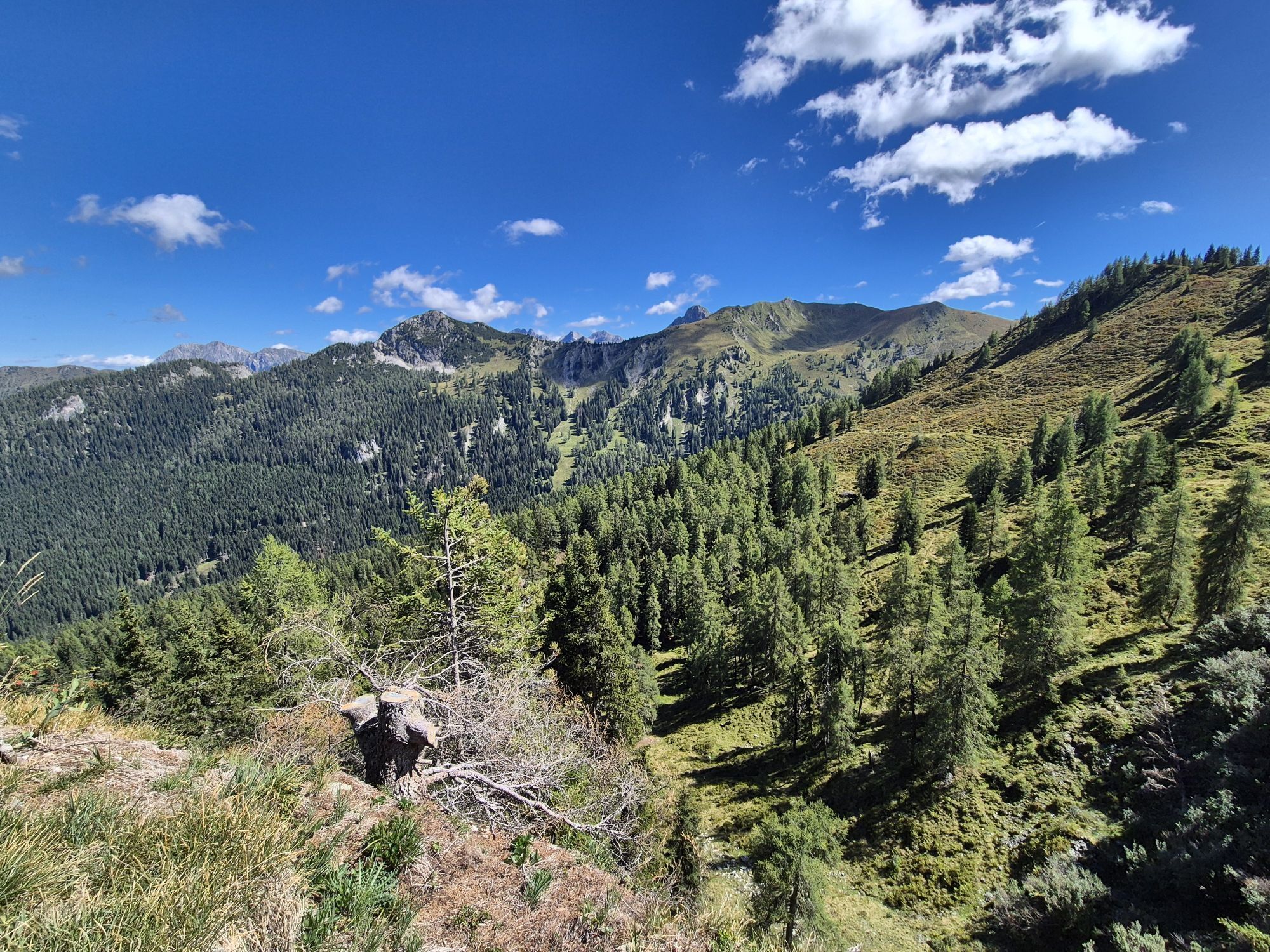
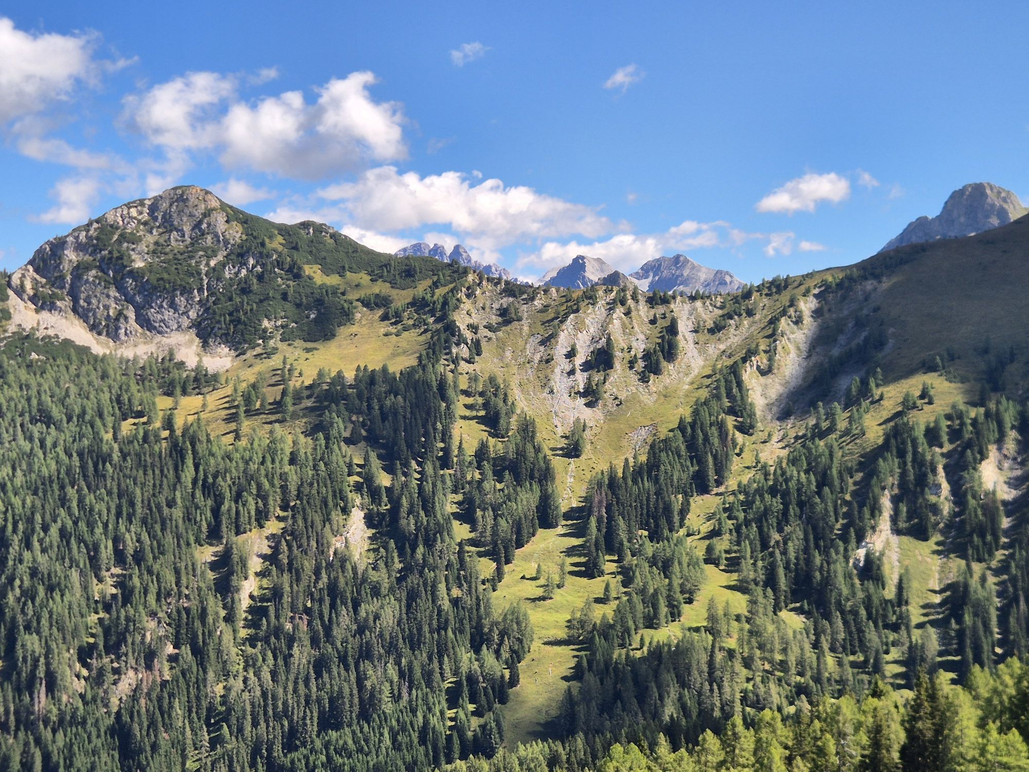
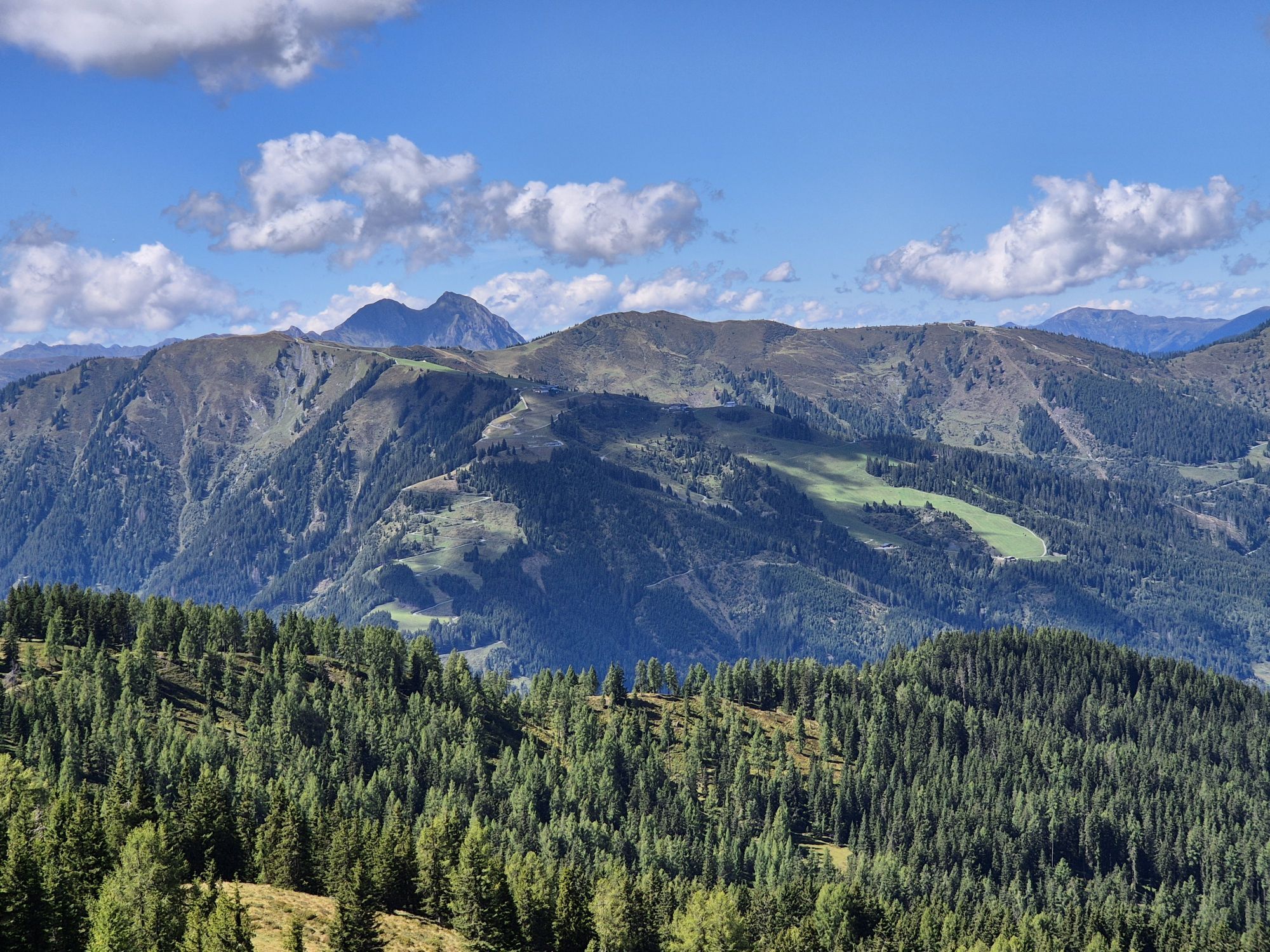
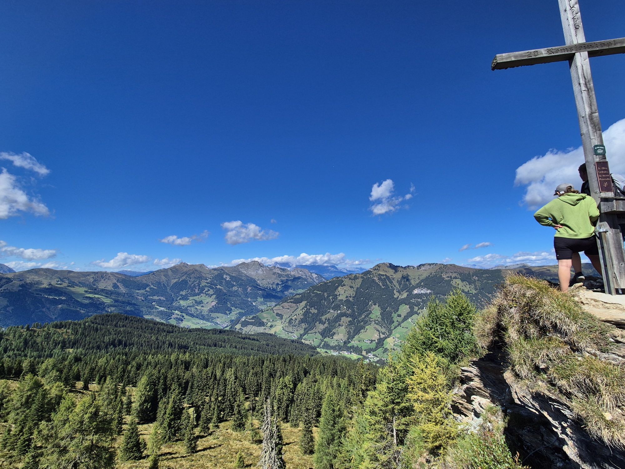
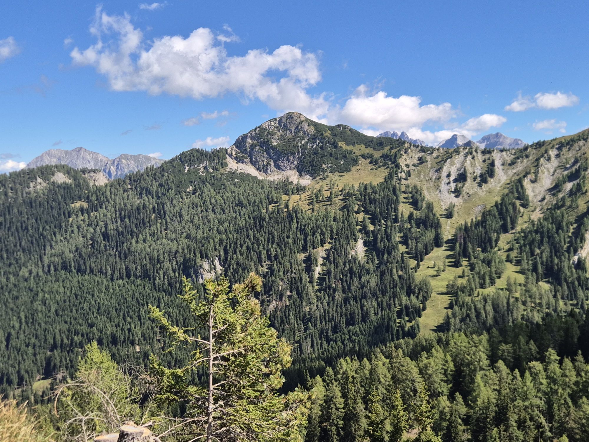
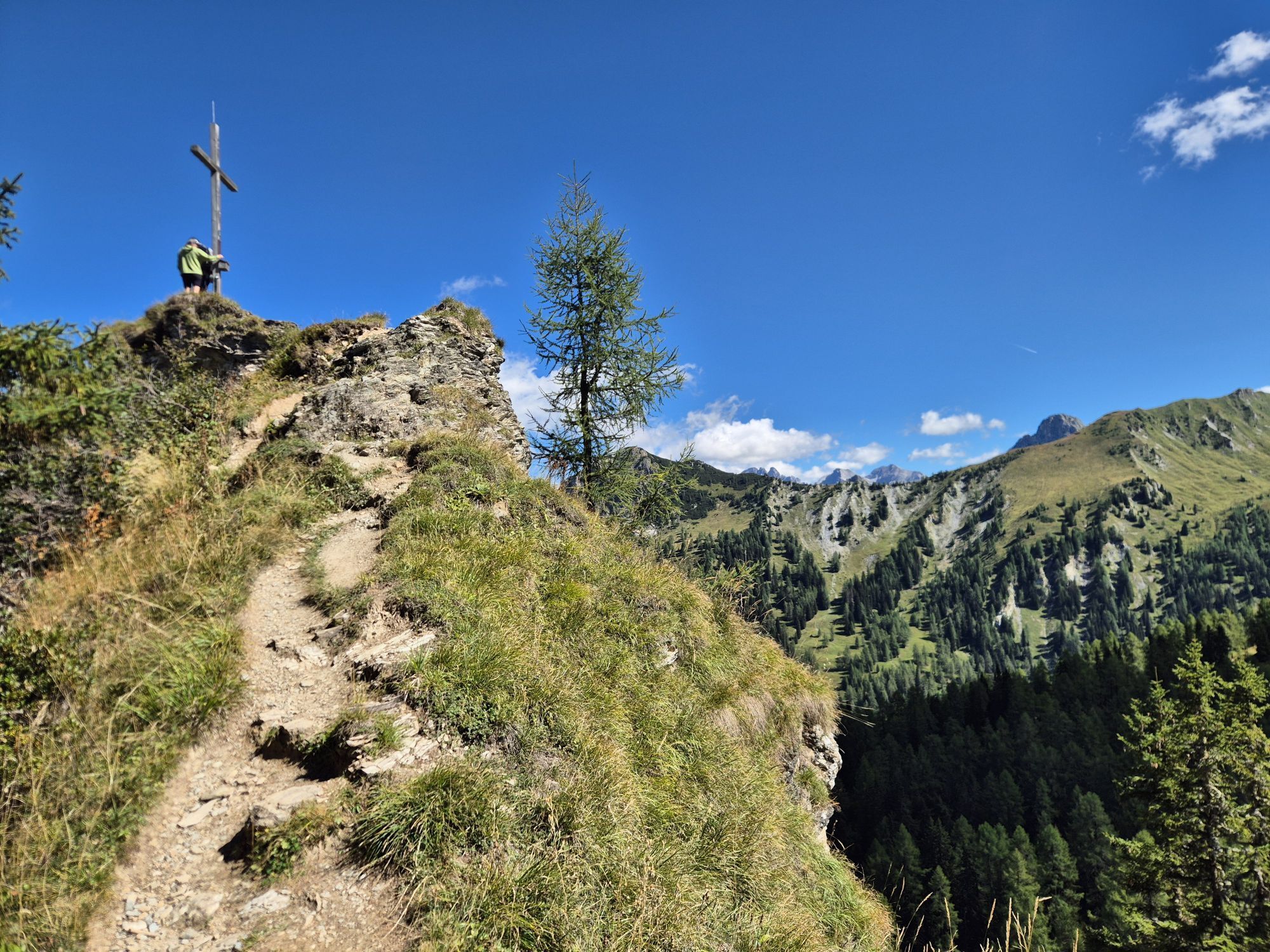
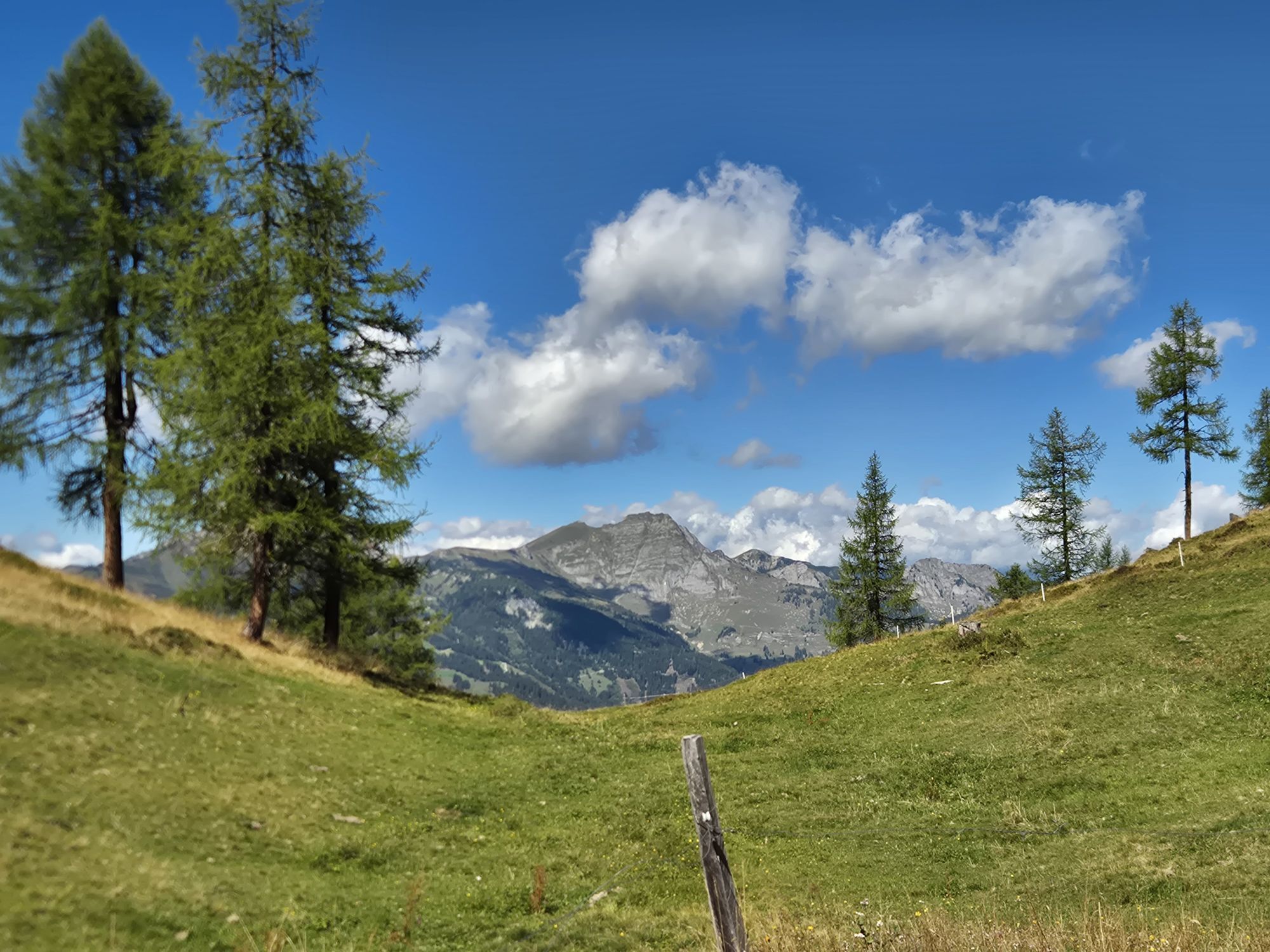
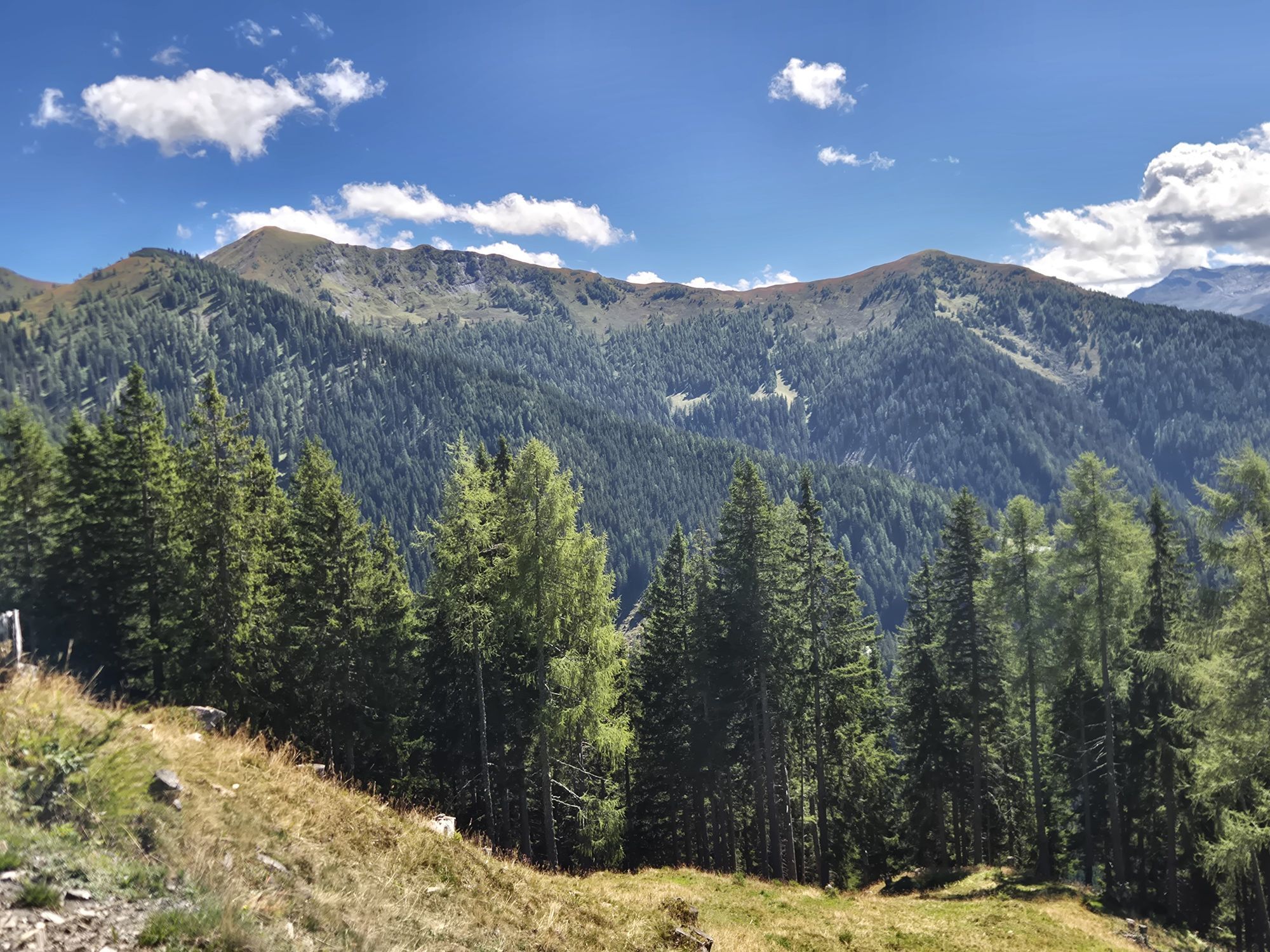
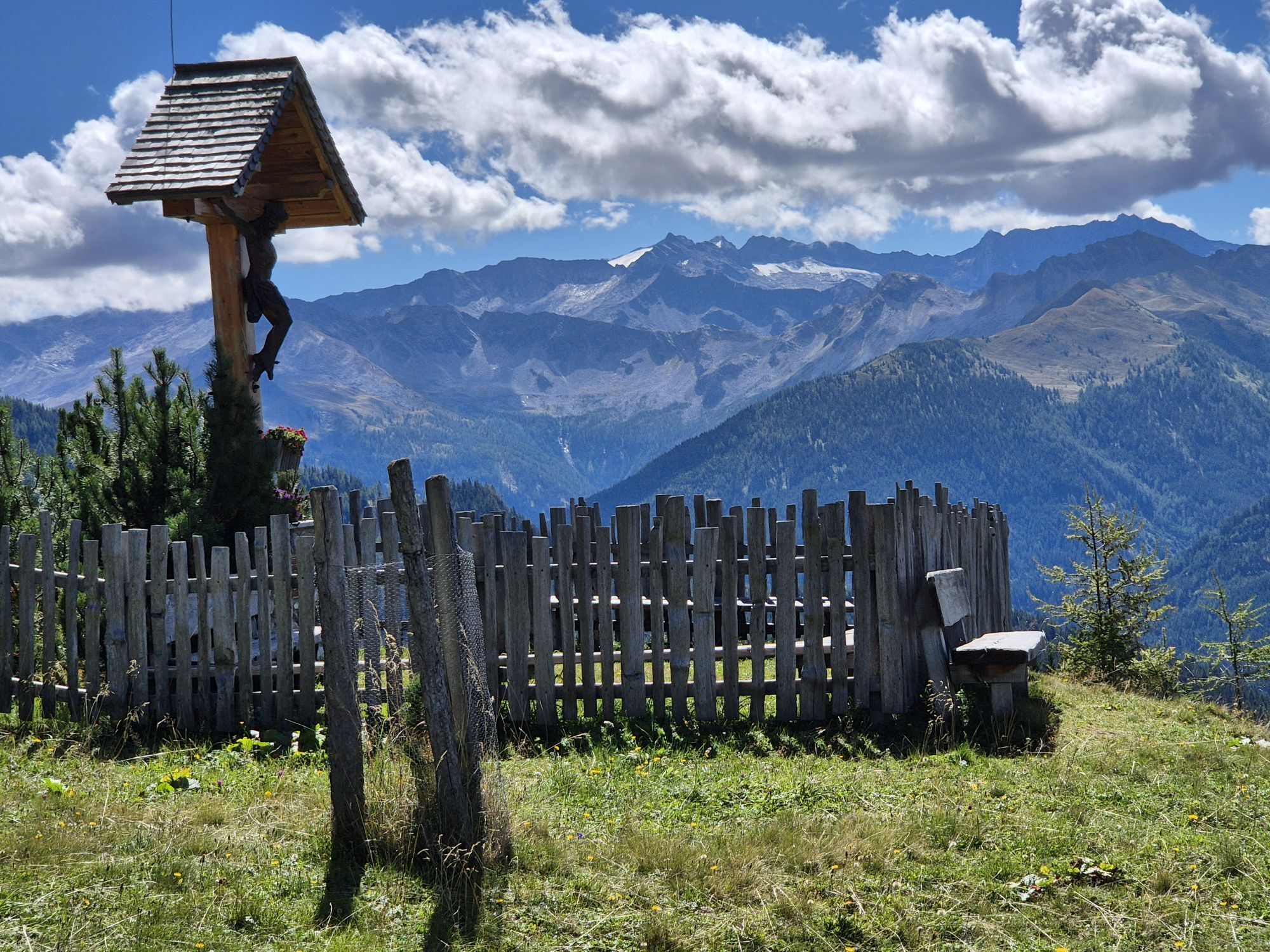
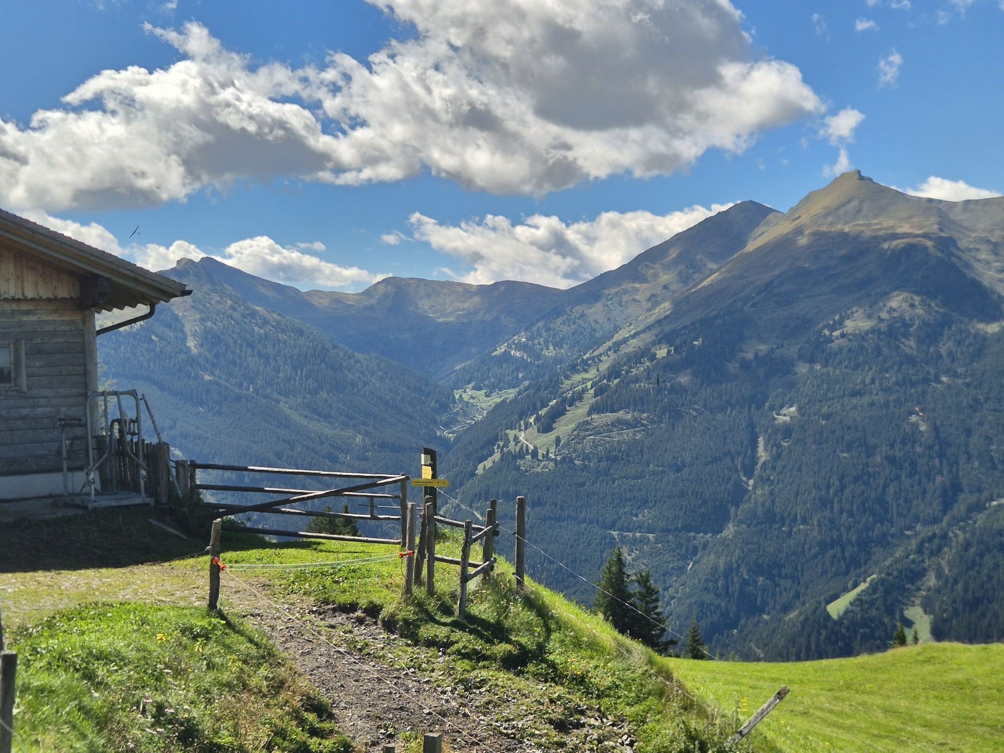
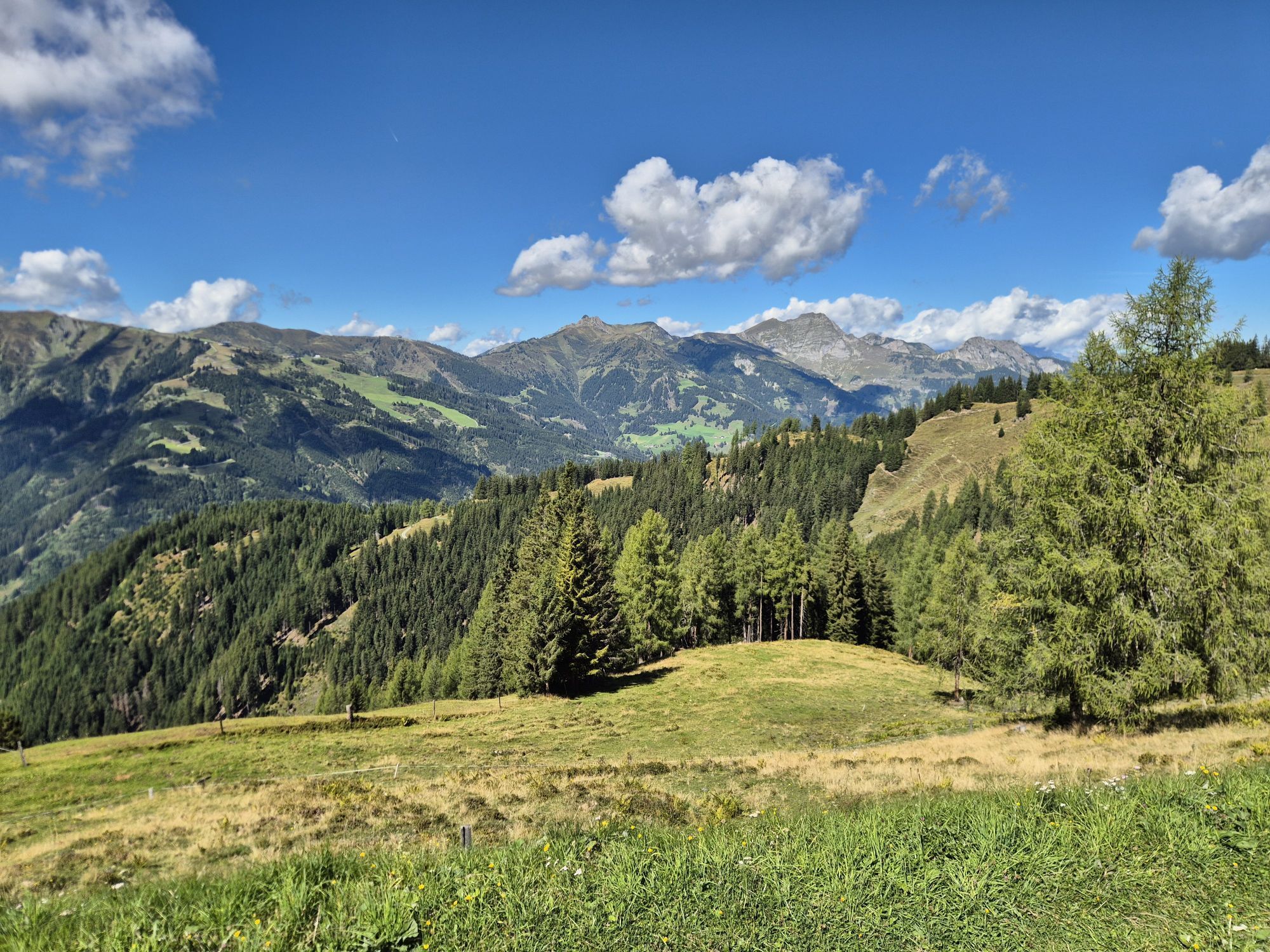
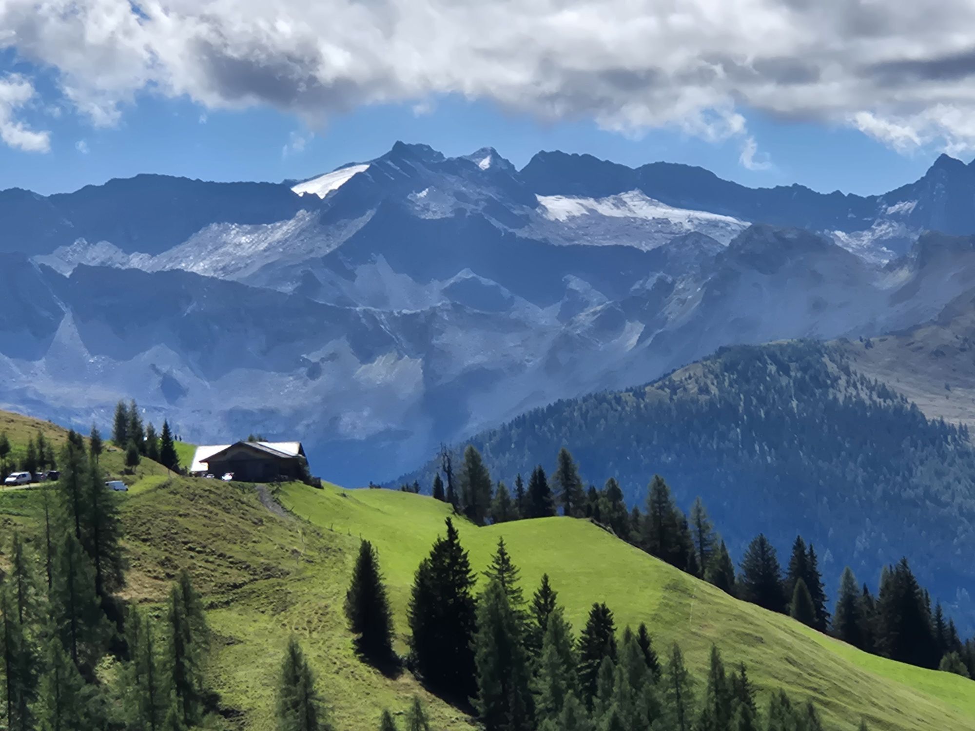
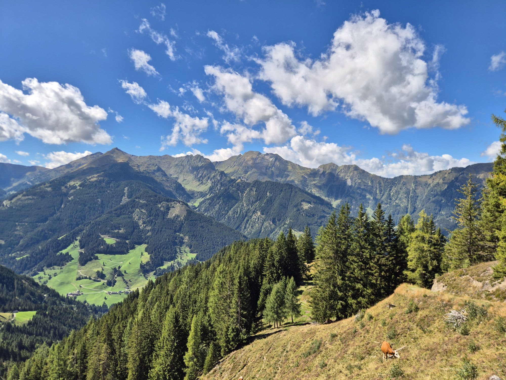
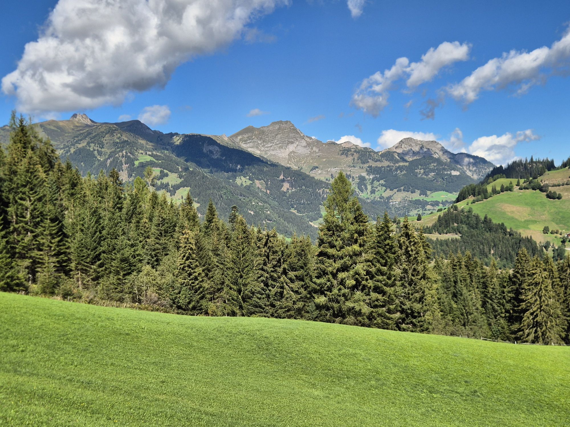
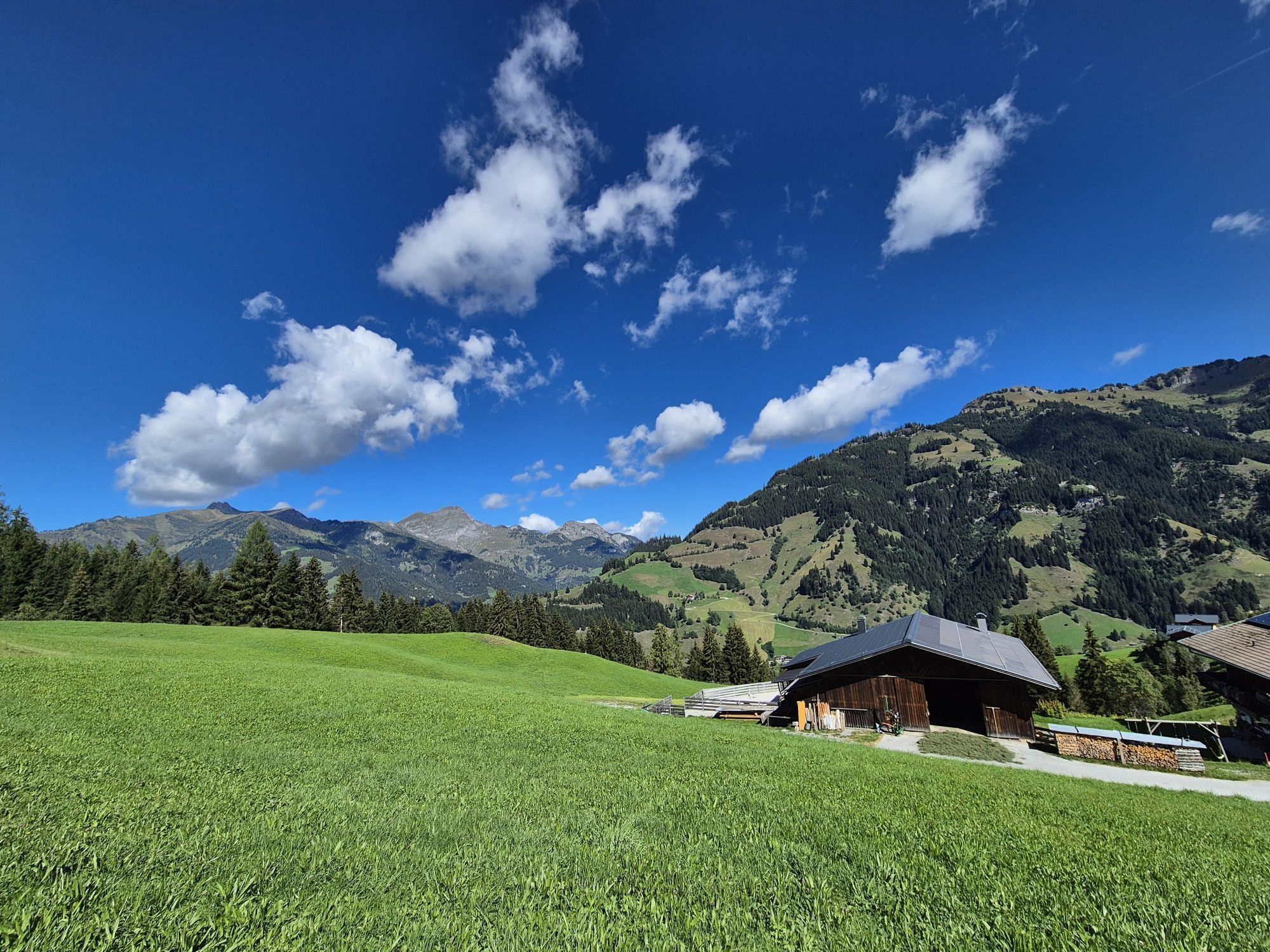
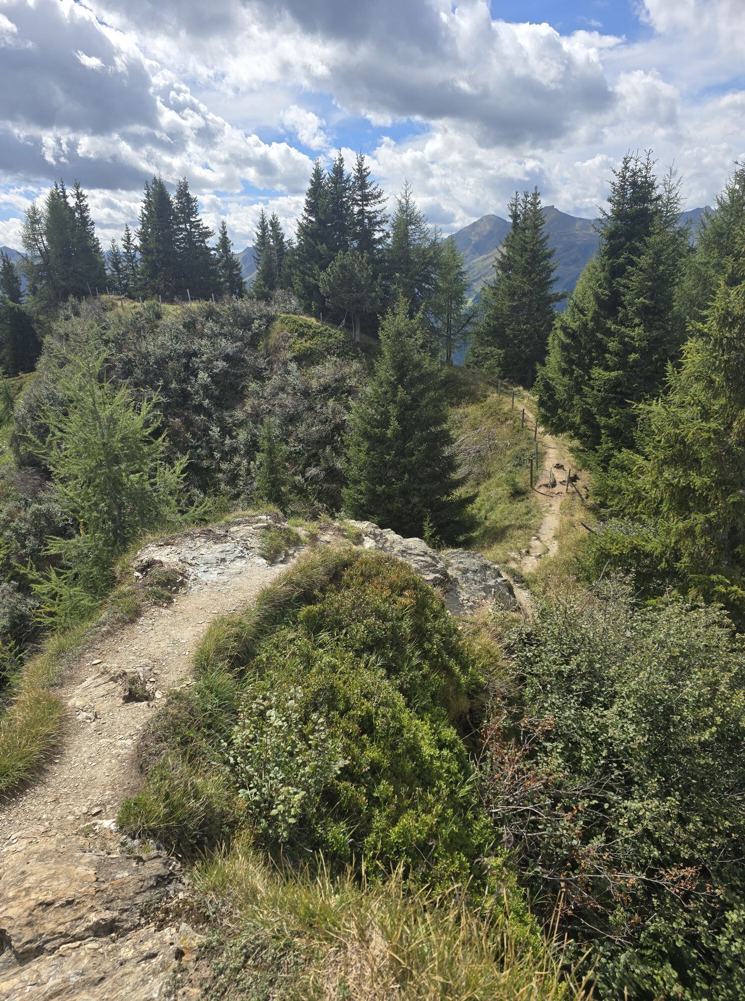
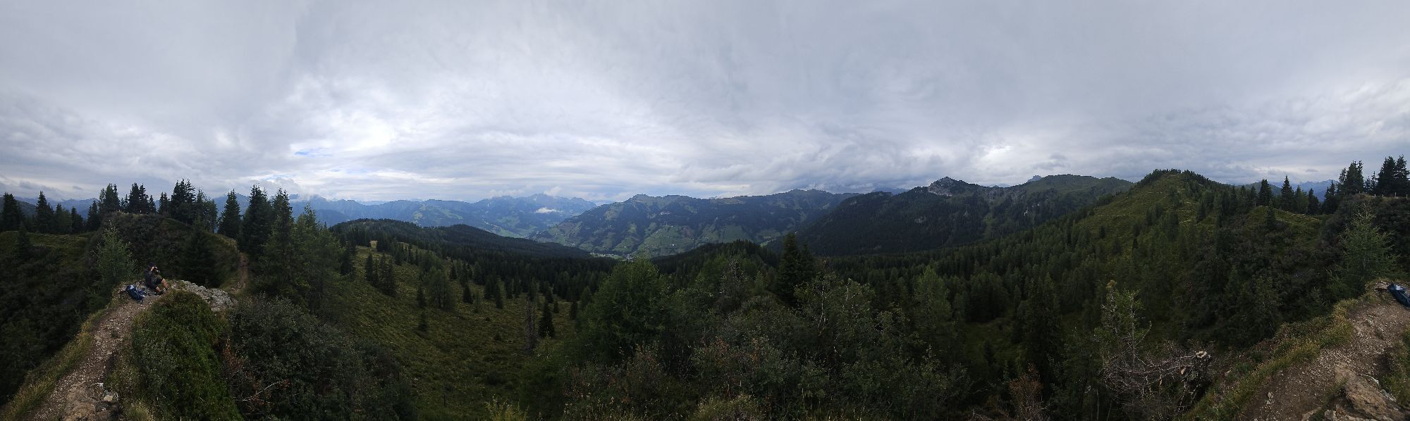
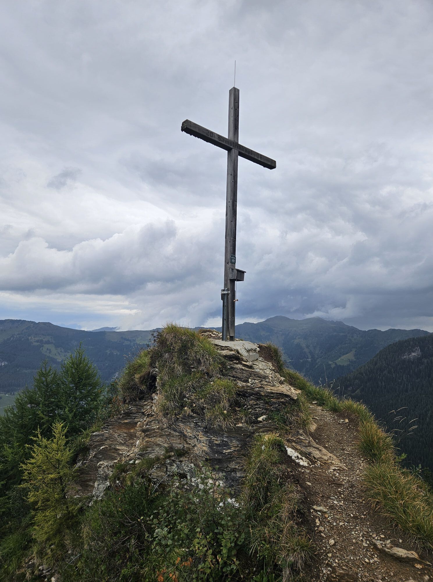
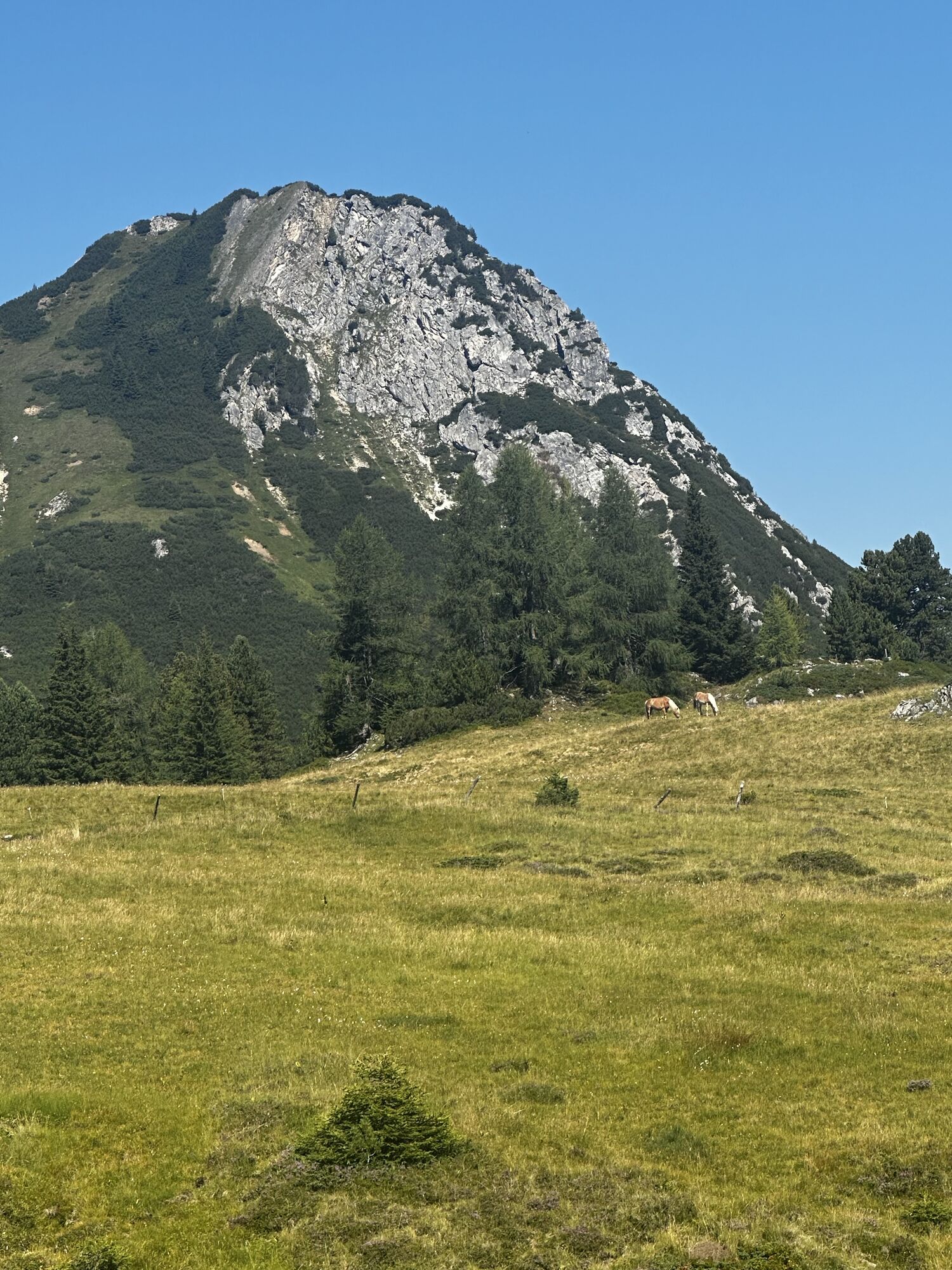
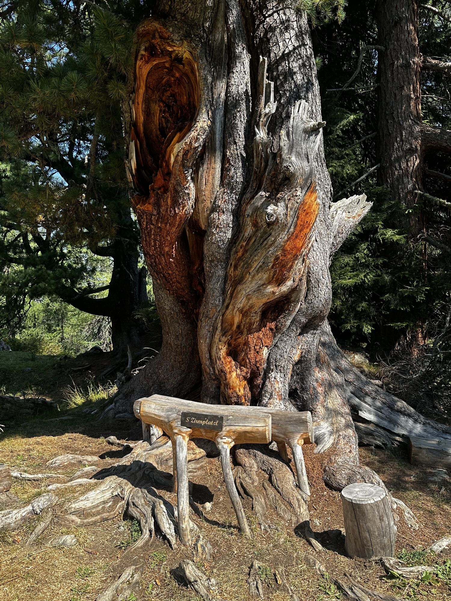
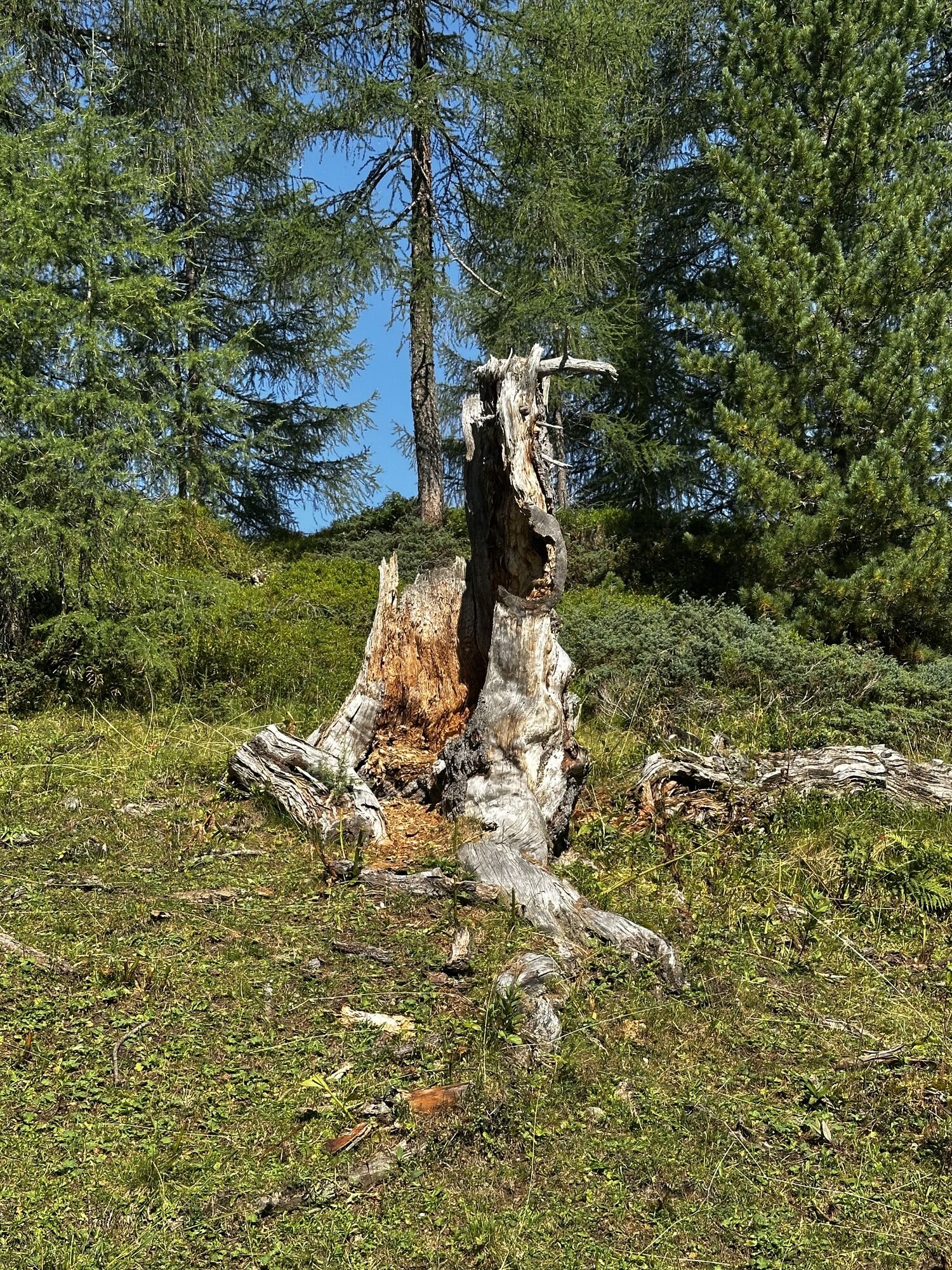
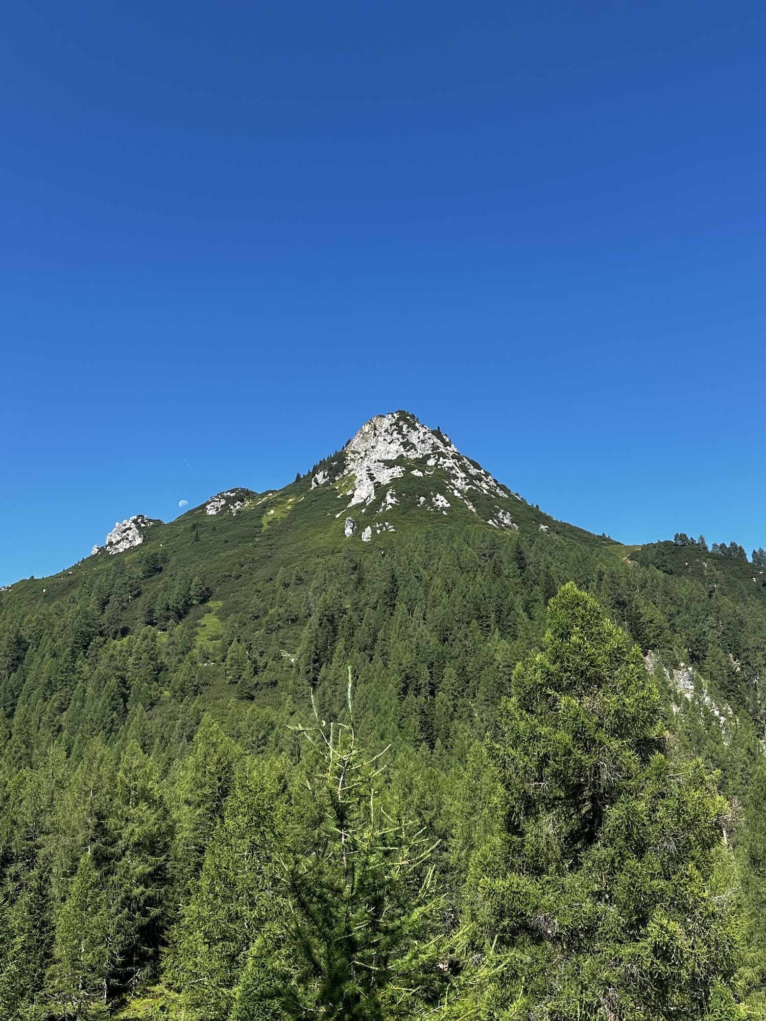
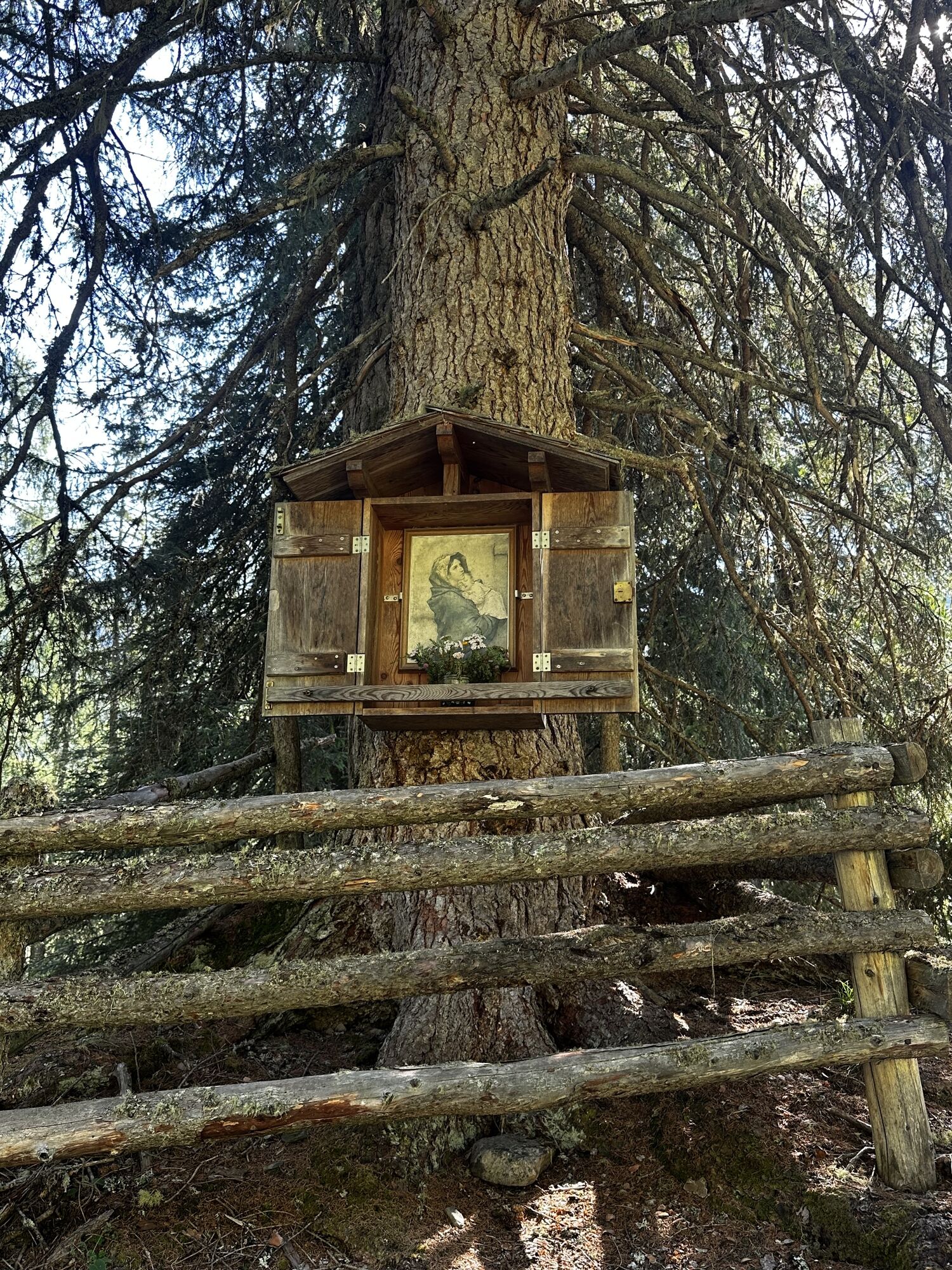
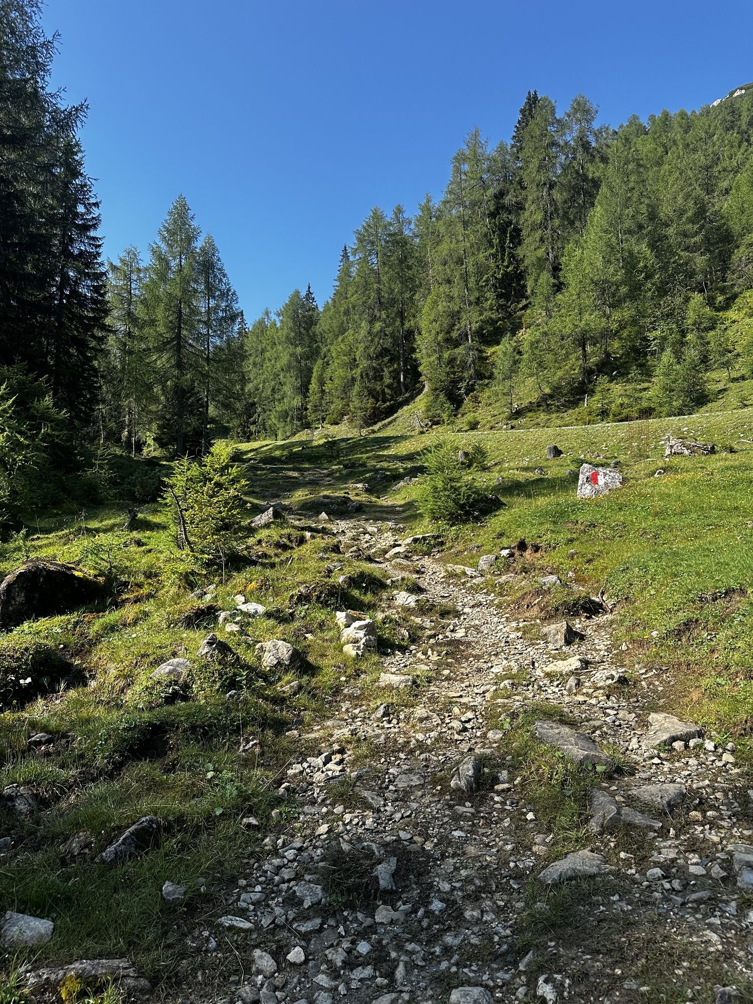
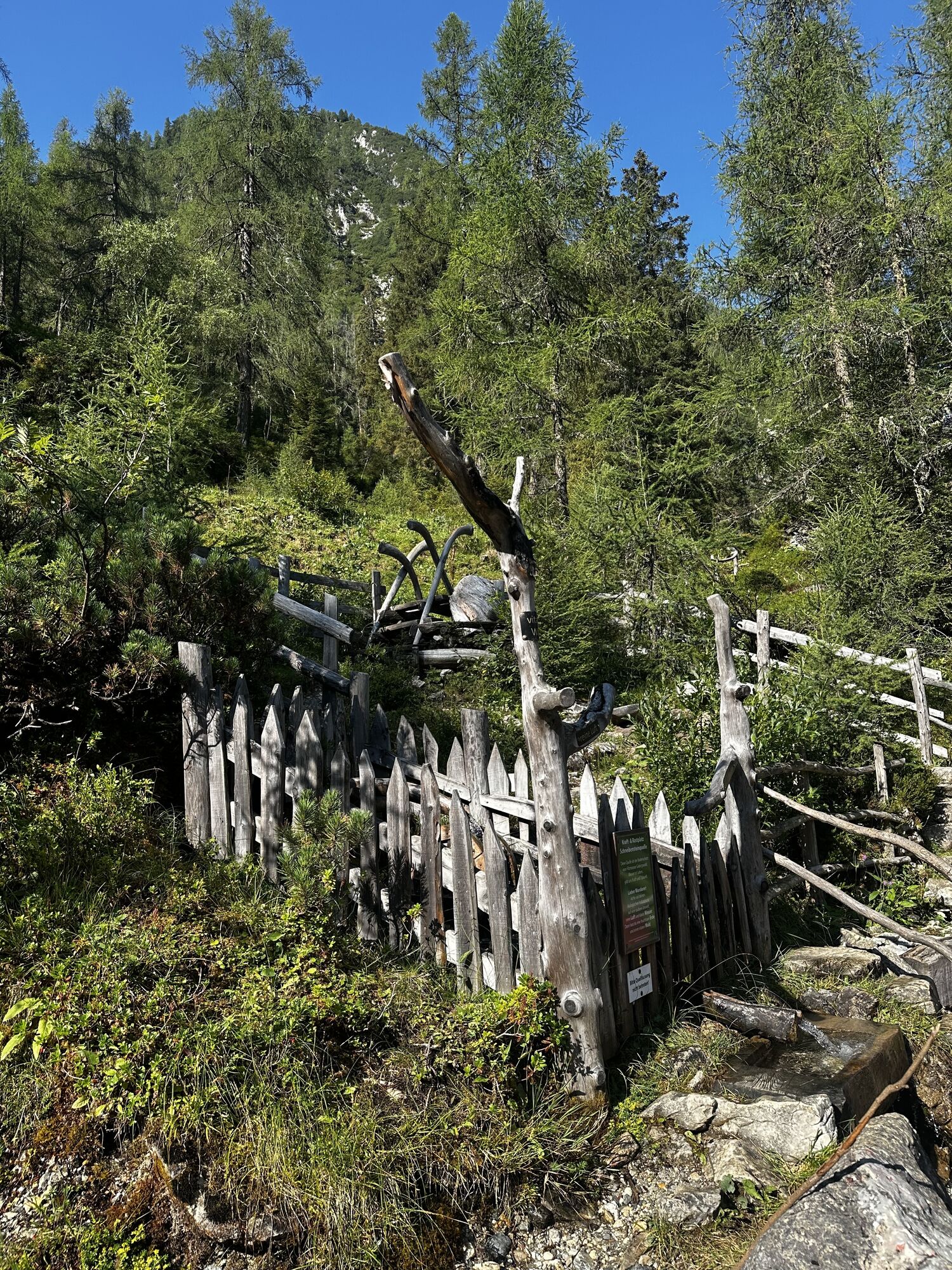
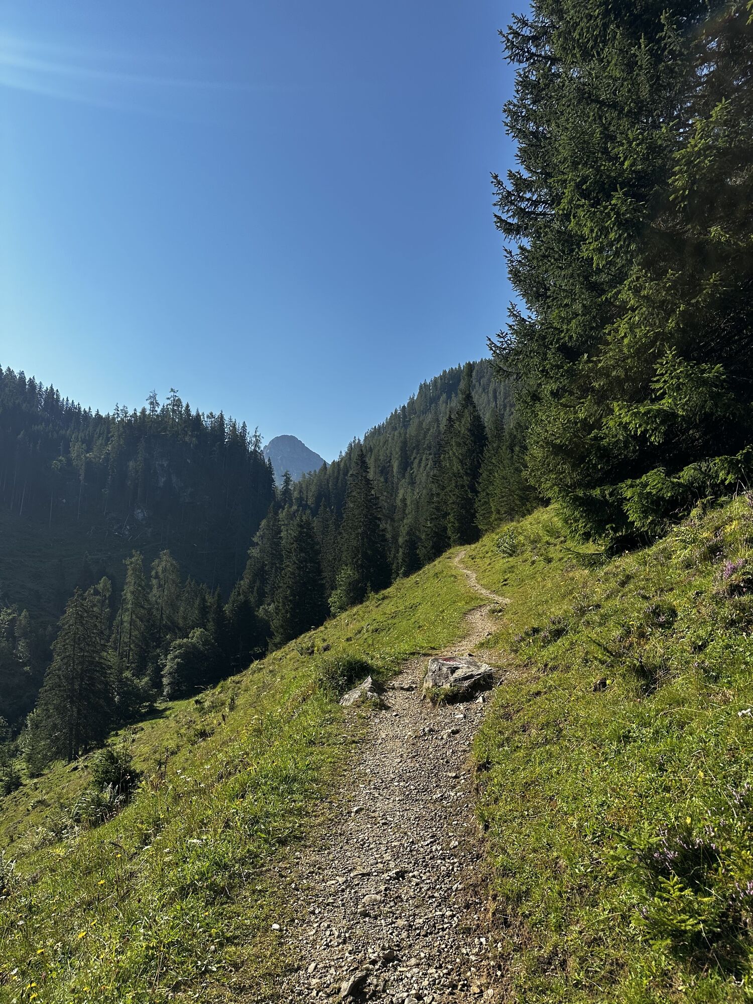
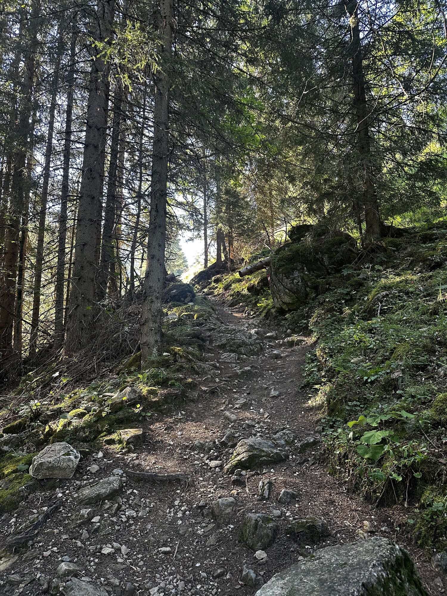
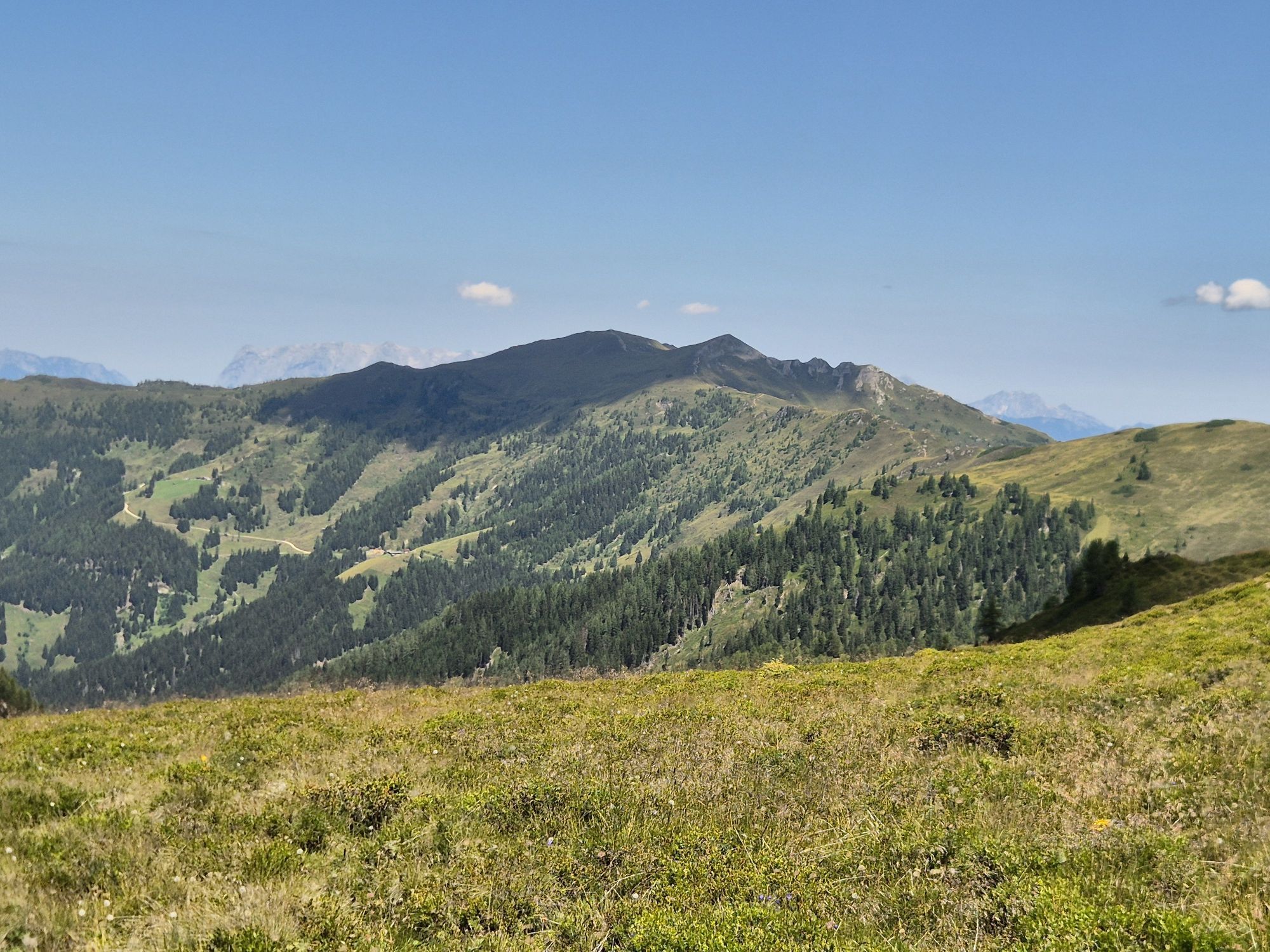
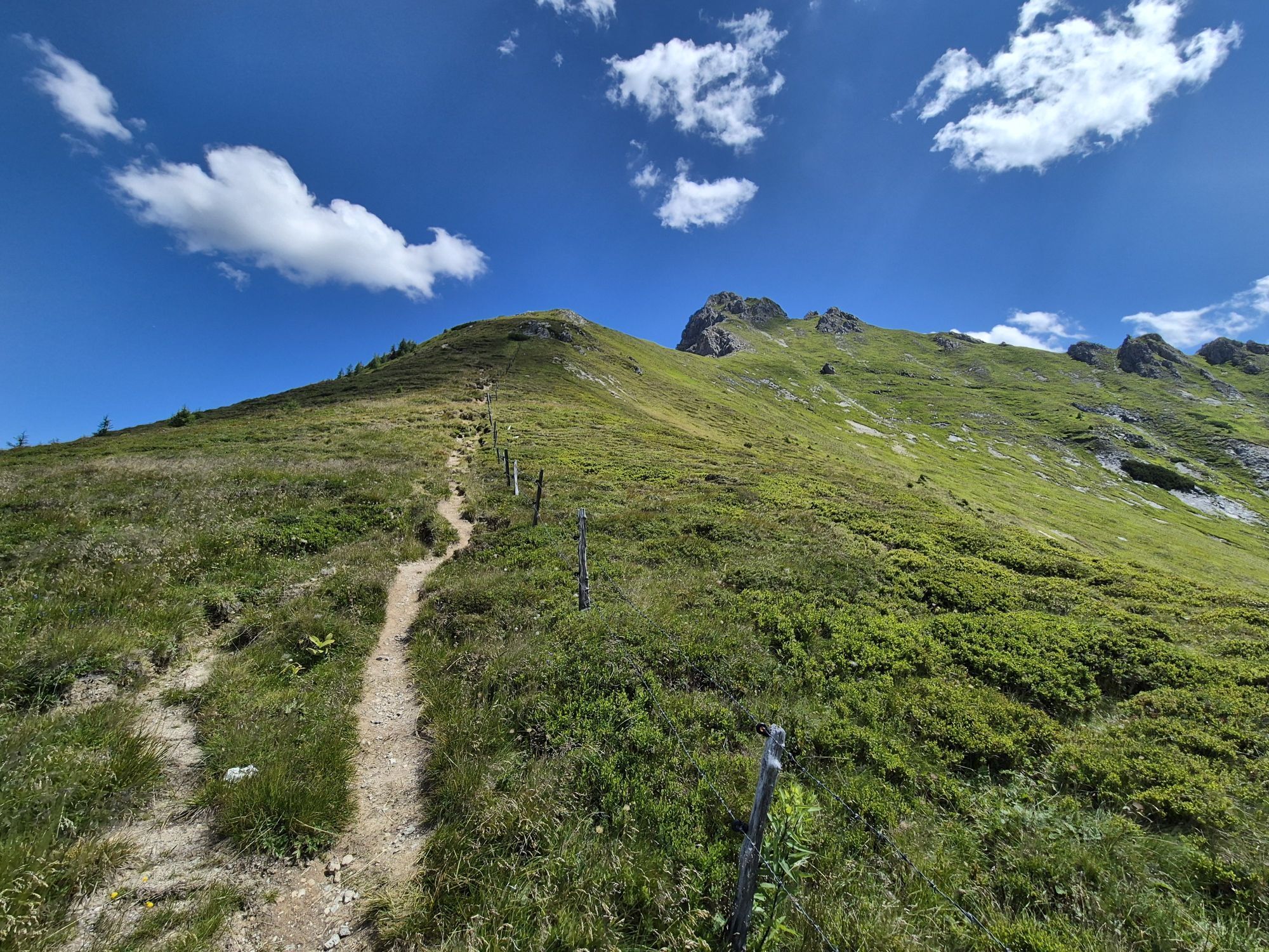
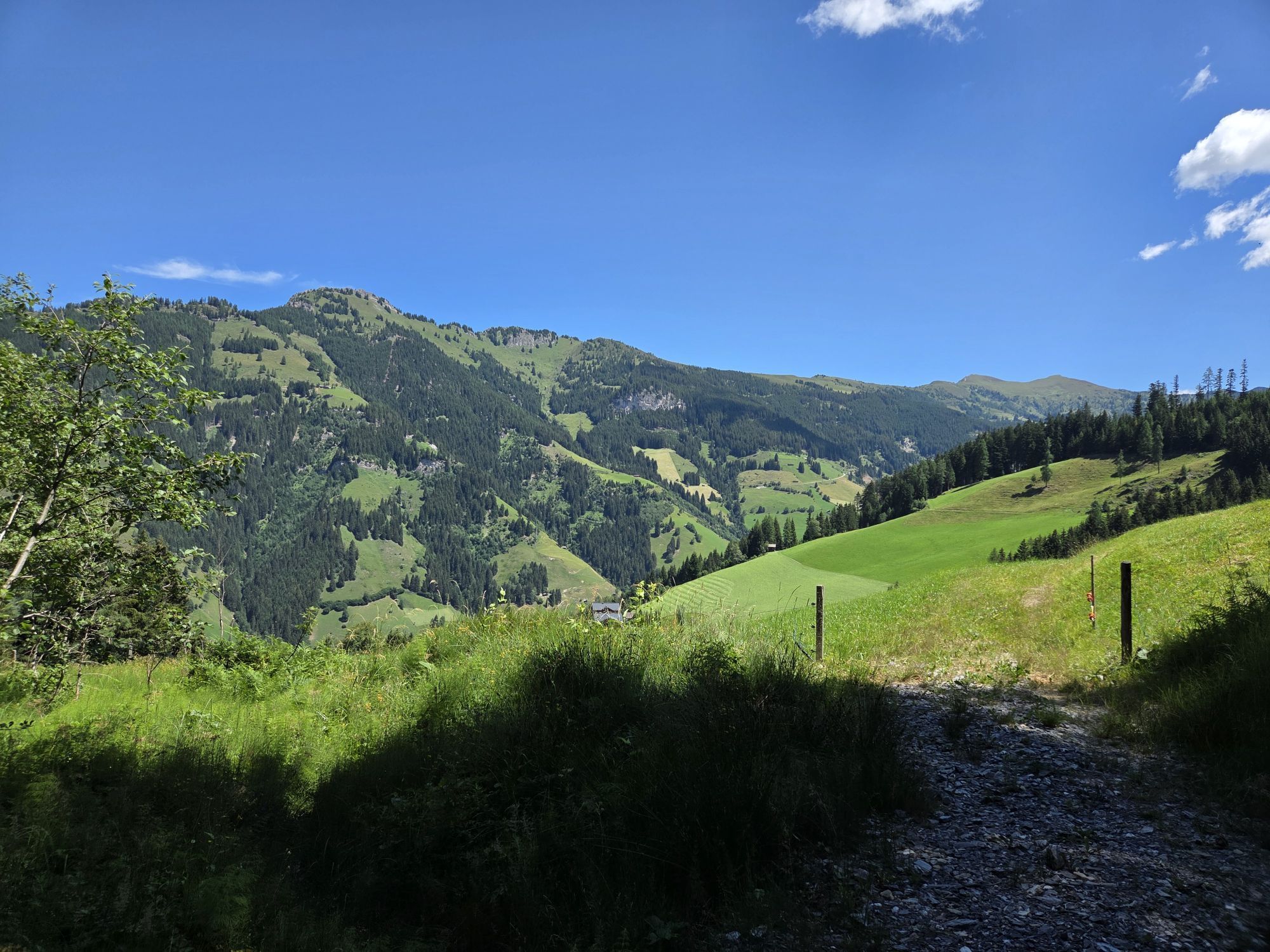
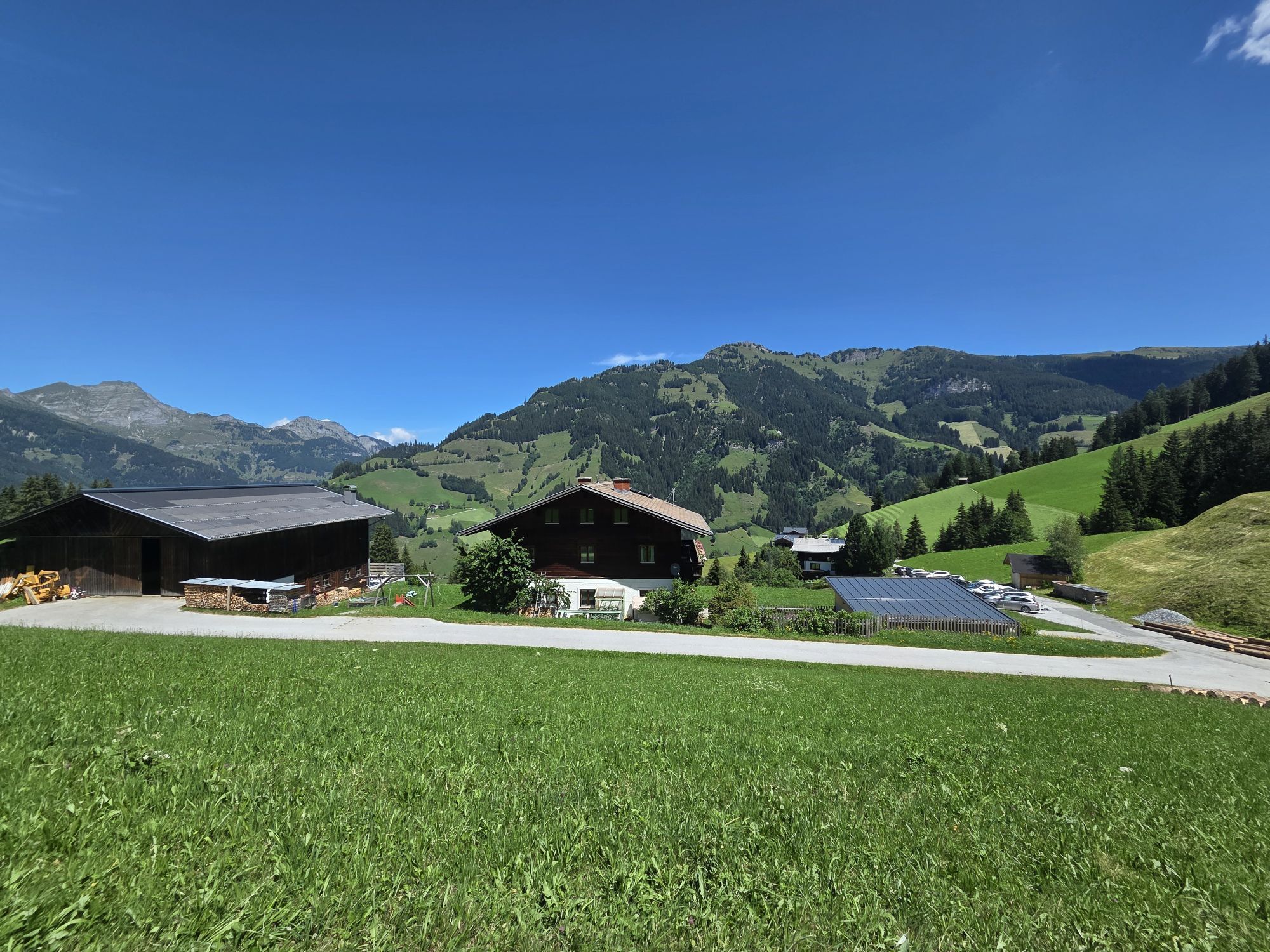
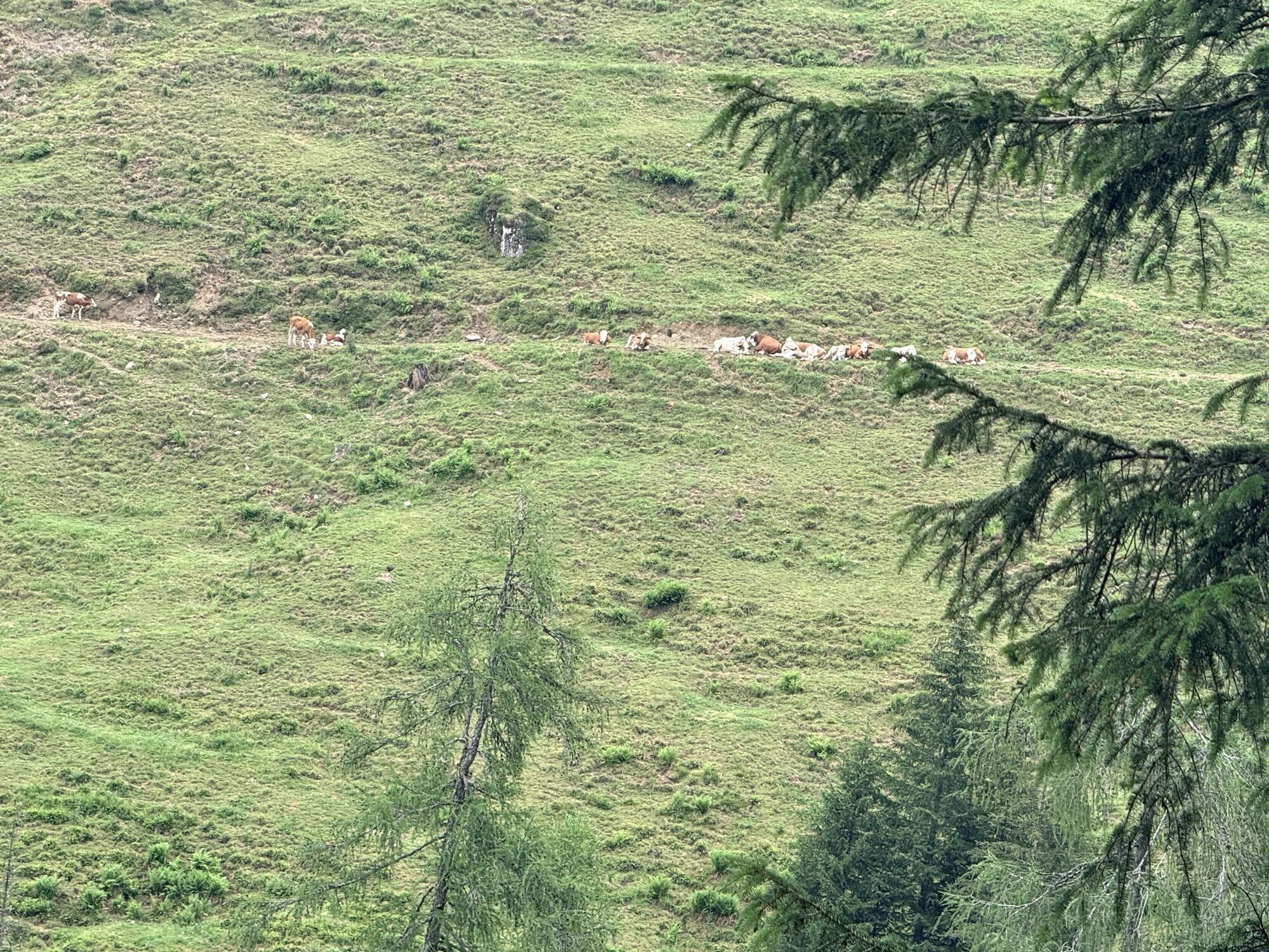
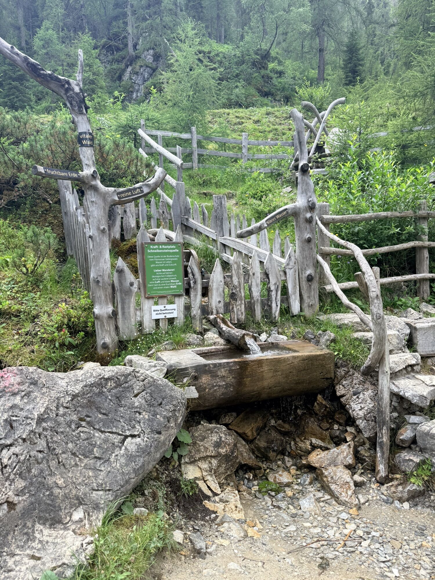
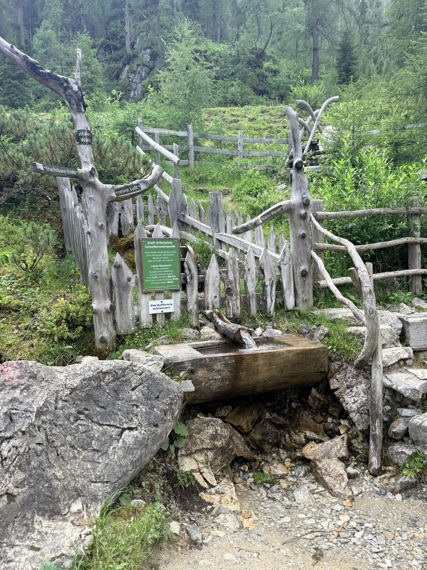
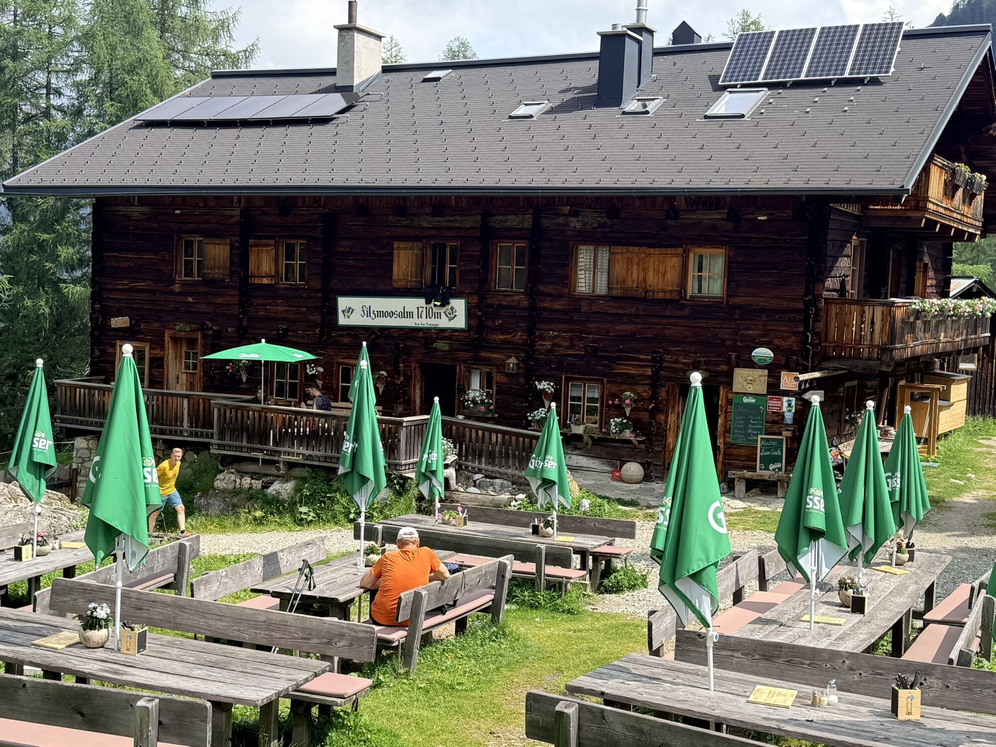
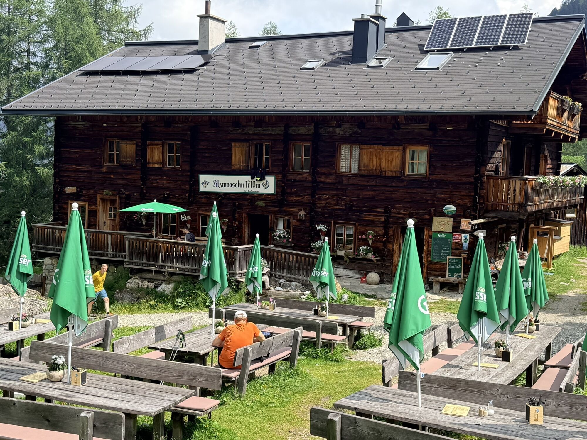
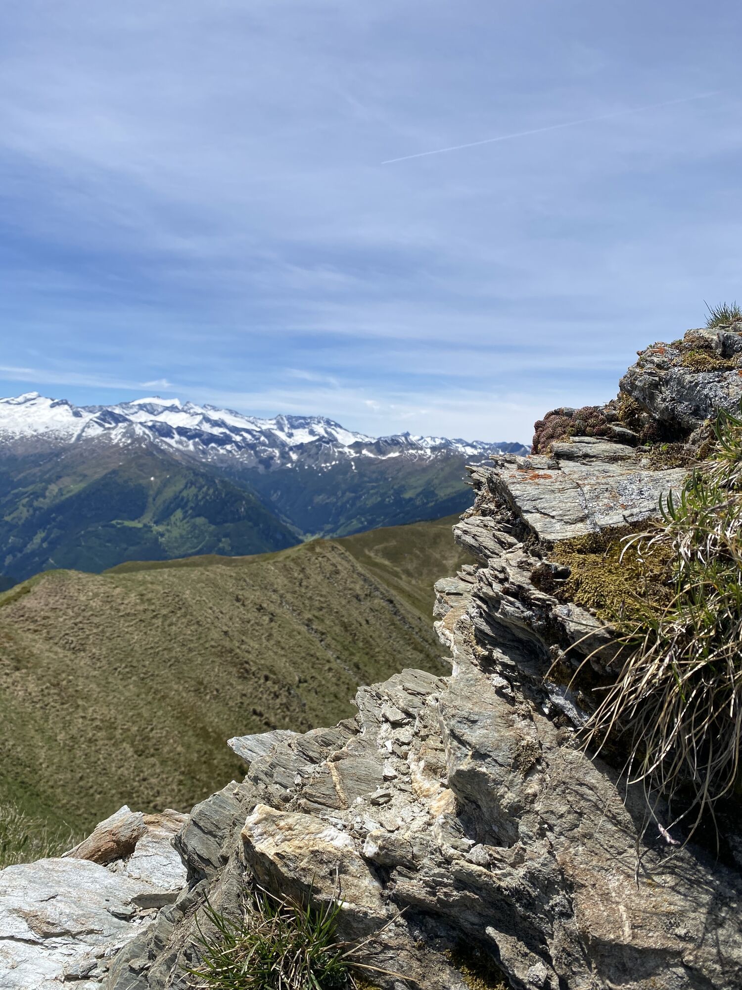
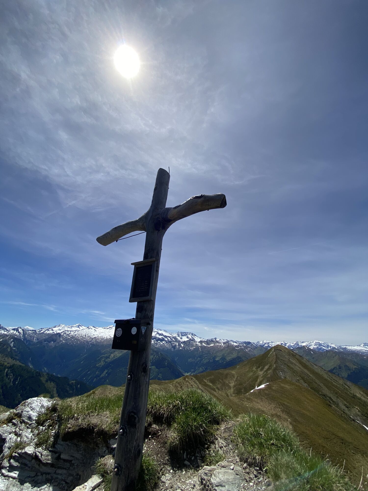
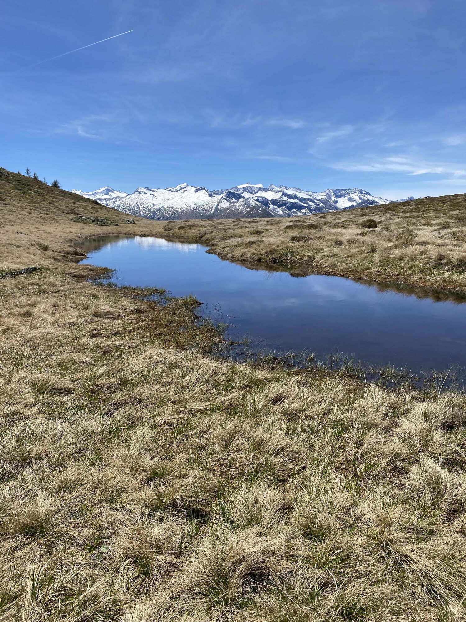
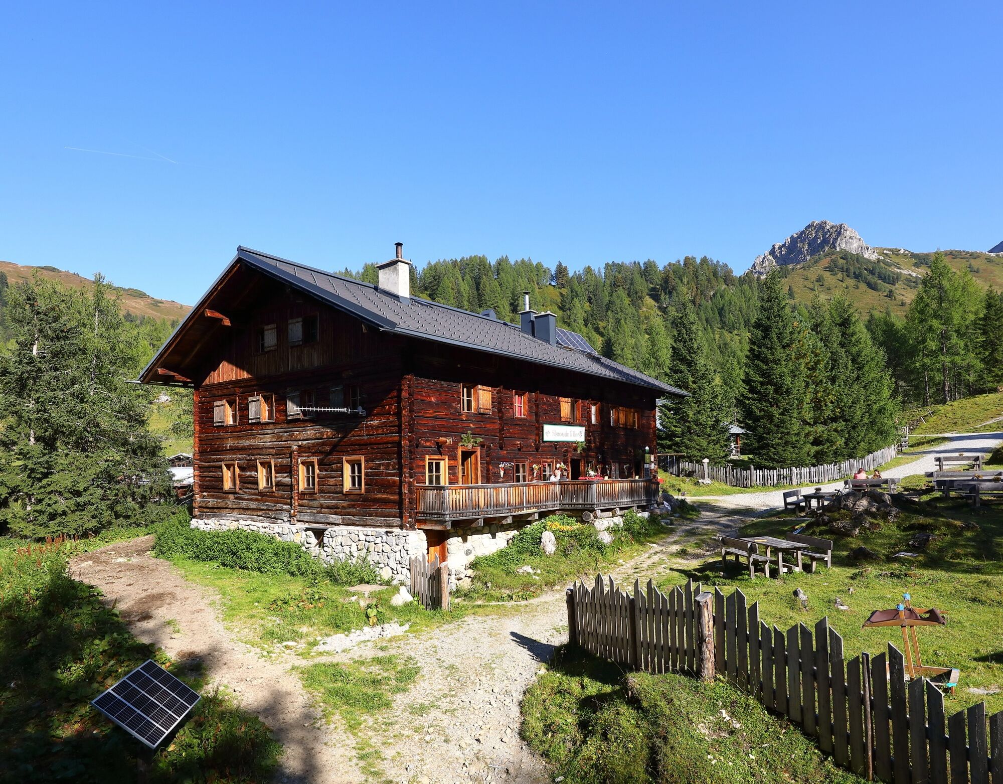
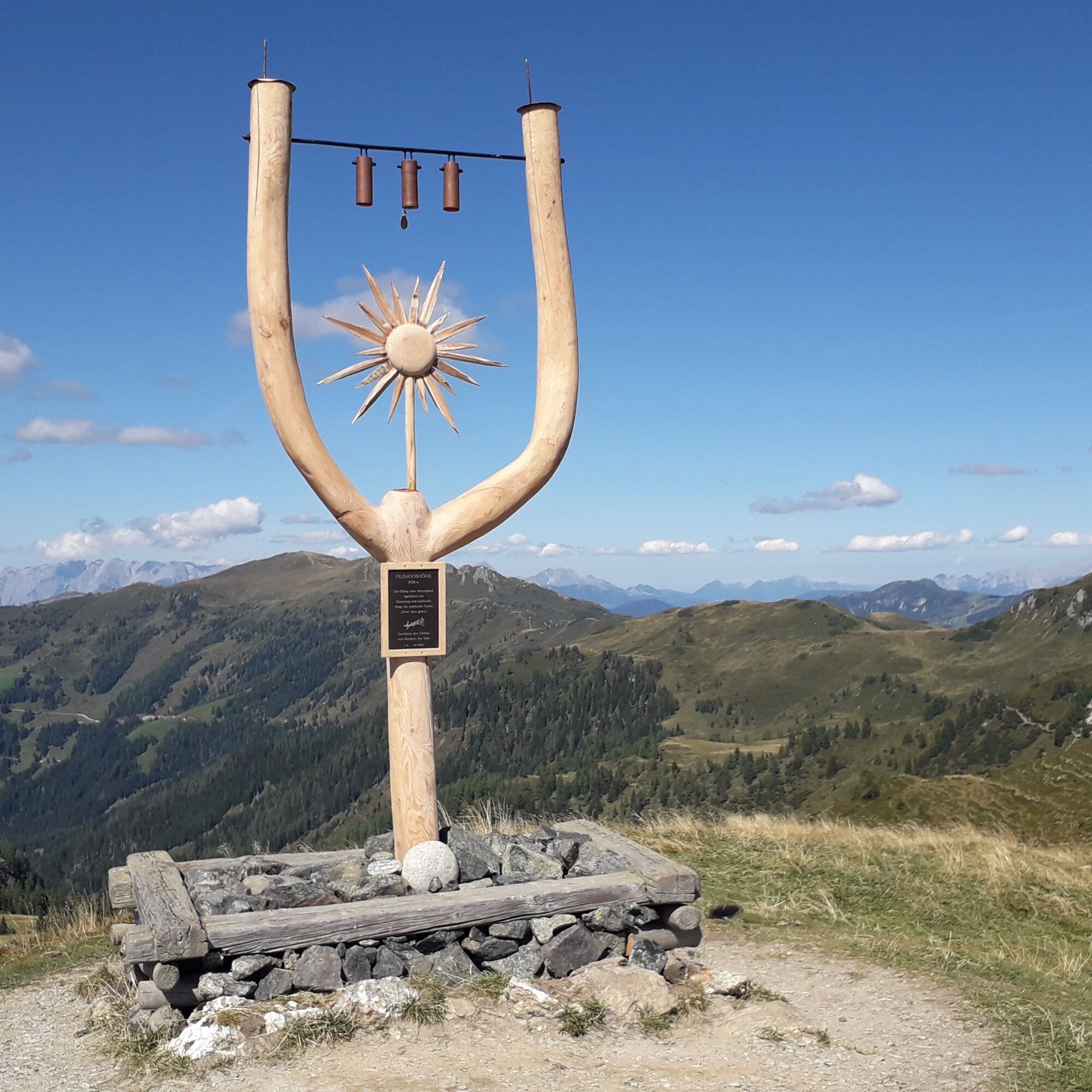
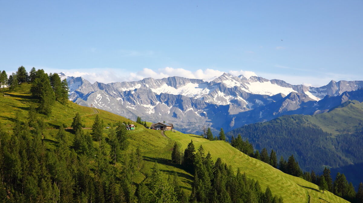
The trail begins gently in the Ellmautal at the Grundlehen parking area. A rustic alpine path leads through quiet forest passages to the Filzmoosalm – a first oasis in the midst of alpine landscape. The...
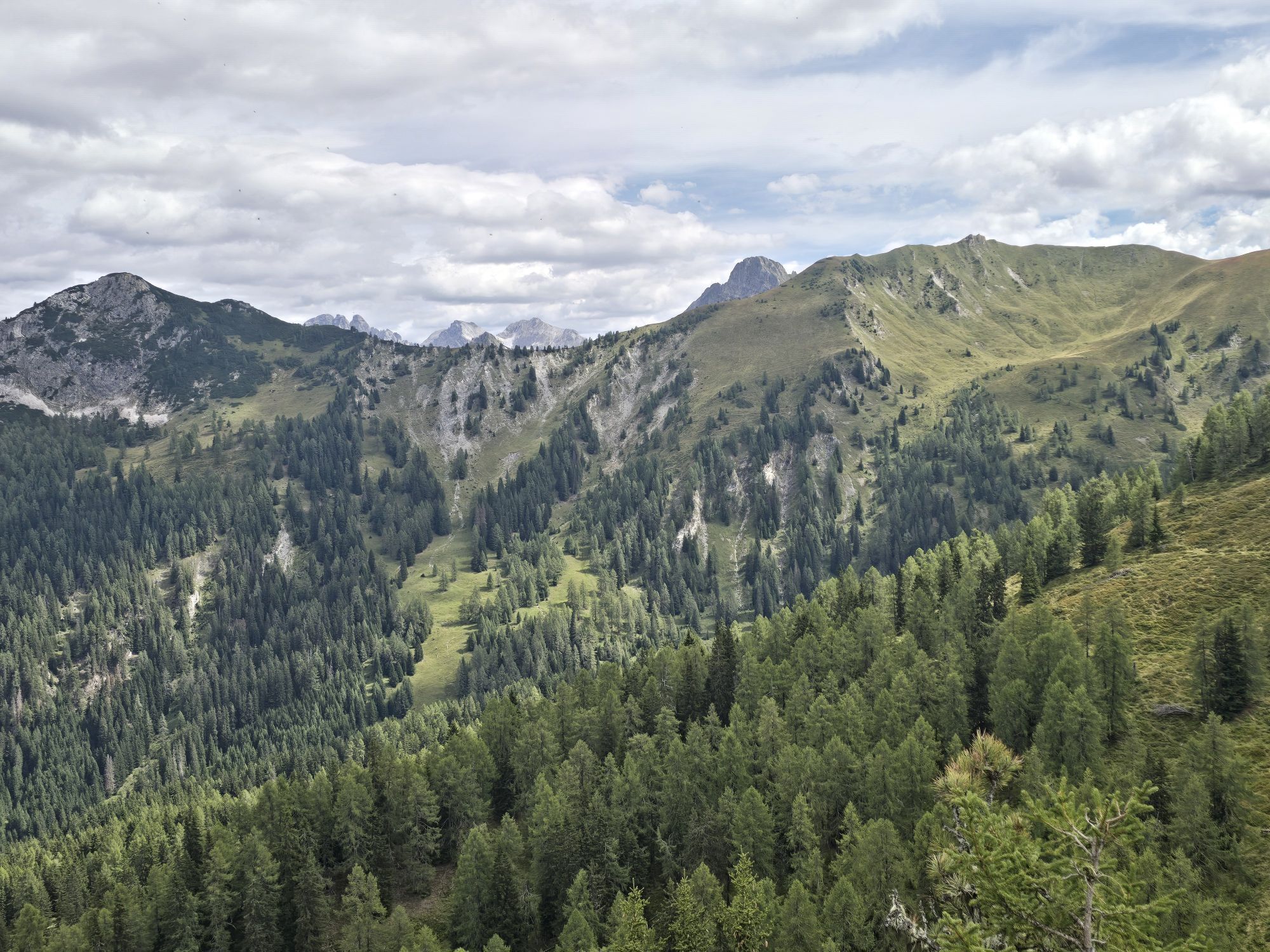
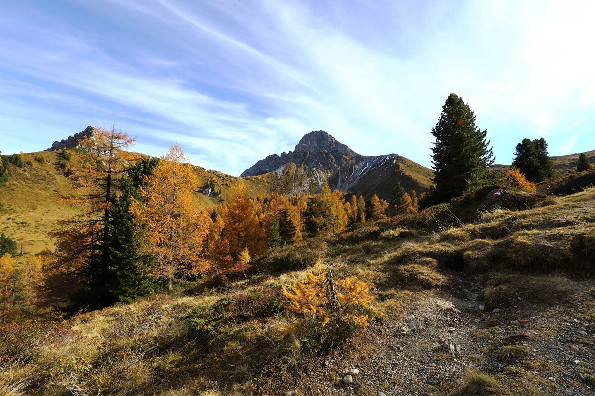
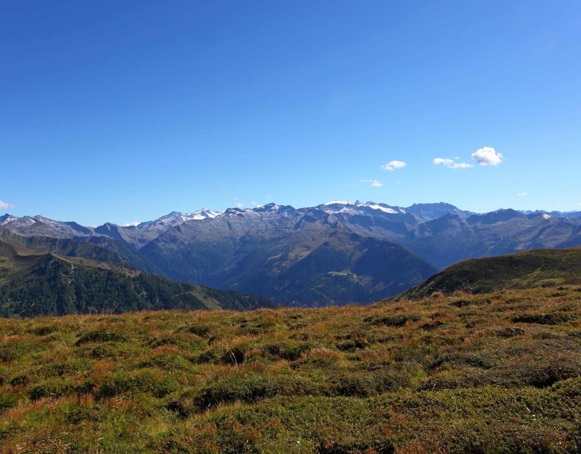
The path to Remsteinkopf marks the dramatic climax of the crossing: a hidden high valley basin offering panoramic views and deep vistas. The descent to Bichlalm leads through open pastures where nature and human use are in balance. After a rest, the final, intense descent awaits with the ‘Himmelsleiter’.
At the Finsterwald farm, you can take a car or hiking taxi down to the valley from the Finsterwald farm. Alternatively, the trail continues downhill to Grossarl.
Please note: Grossarl is part of the ‘Austrian Hiking Villages’ network. This hiking trail forms part of the certified hiking network in Grossarltal and has been awarded the Austrian Hiking Quality Seal. The Quality Seal stands for verified quality across several areas – from the individual hiking trail itself, through the signposting, to the infrastructure.

Alternatively, you can descend from the Finsterwald farm on foot via the ‘Europatisch’ scout monument to Grossarl (approx. 1½ h).
Da
Da
Hiking boots with profiled soles, hiking map
Take the car or Postbus No. 540 to the centre of Großarl – parking is available at the Viehhauser petrol station. Continue with the Ellmautal No. 541 bus or the hiking taxi to Grundlehen in the Ellmautal valley. Return journey from the Finsterwald farm parking area also possible with the hiking taxi.
Viehhauser gas station
T2
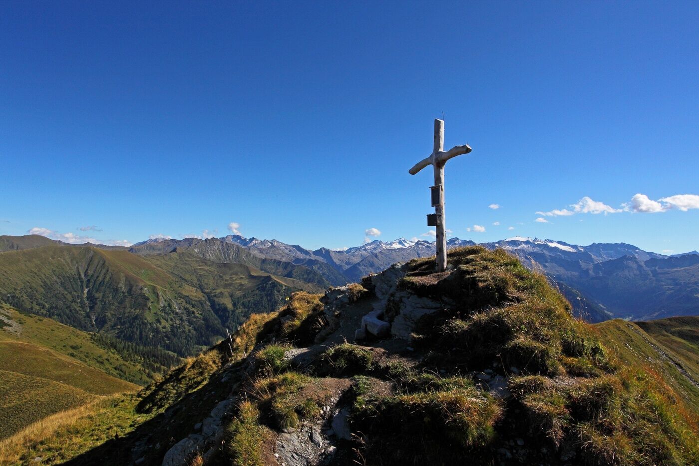
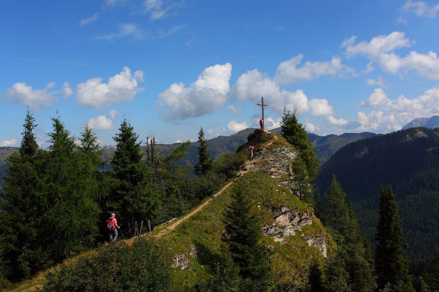
A special summit experience awaits you on the ascent to the Filzmooshörndl – with tranquil expanses and impressive views.

Spletne kamere s turneje
Hotel Lammwirt im Großarltal/Ellmautal
Talschluss des Grossarltals - Steinmannbauer
Bergstation 6er Sesselbahn Harbach
Ellmautal - Palfenhof
Kühhagerbahn Bergstation
Großarl - Ort
Mooslehen Berg
Großarl - Loosbühelalm
Grossarl - Hotel Gasthof Schützenhof
Großarl - Hotel Kristall Übungslift
Bergstation Kieserl
Hüttschlag - Grossarltal
Großarl

Dejavnosti na poti

Großarl, Salzburg/Österreich
20.09.2026 – Pohodništvo
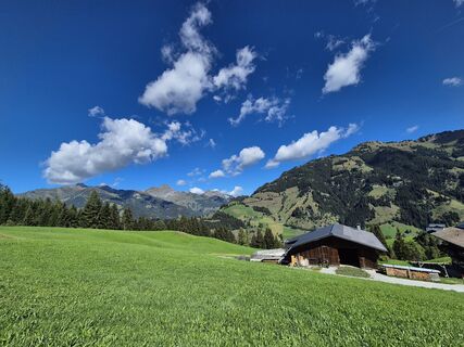
Bichlalm, Remsteinkopf,Großarl
06.09.2026 – Pohodništvo
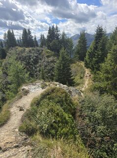
Bichlalm und Remsteinkopf, Großarl, Salzburg/Österreich
03.09.2026 – Pohodništvo
Großarl, Salzburg/Österreich
31.08.2026 – Visokogorska turaGroßarl, Salzburg/Österreich
15.08.2026 – Pohodništvo
Großarl, Salzburg/Österreich
16.10.2025 – Pohodništvo
Priljubljeni izleti v okolici
- 4.9
Großarl: Heukareck
srednjaPohodništvo 12.5 km - 4.9
Großarl: Aualm - Liechtensteinkopf - Aukopf - Schuhflicker - Schuhflickersee
srednjaPohodništvo 5.84 km - 4.2
Tappenkarsee Kleinarl
srednjaPohodništvo 9.11 km - 5.0
Großarl: Alpine pasture circuit in Ellmautal
srednjaPohodništvo 9.69 km - 4.8
Großarl: Himmelsroute
srednjaPohodništvo 5.41 km - 4.6
Großarl: Mooslehenalm – Niggeltalalm – Viehhausalm
srednjaPohodništvo 5.44 km - 4.7
Großarl: Saukaralm - Saukarkopf - Gerstreitalm
srednjaPohodništvo 9.39 km - 4.6
Grießenkareck
srednjaPohodništvo 4.89 km - 4.8
Großarl: Bichlalm
srednjaMountainbike 18.9 km - 4.9
Bad Gastein - Poserhöhe - Gamskarkogel
težkoPohodništvo 18.6 km
Pohodništvo in sledenje


Ne zamudite ponudb in navdiha za naslednje počitnice
Vaš e-poštni naslov je bil dodan na poštni seznam.





