







Schmittenstein day round route (No.74) Krispl-Gaissau, (stamp point, 24 points)

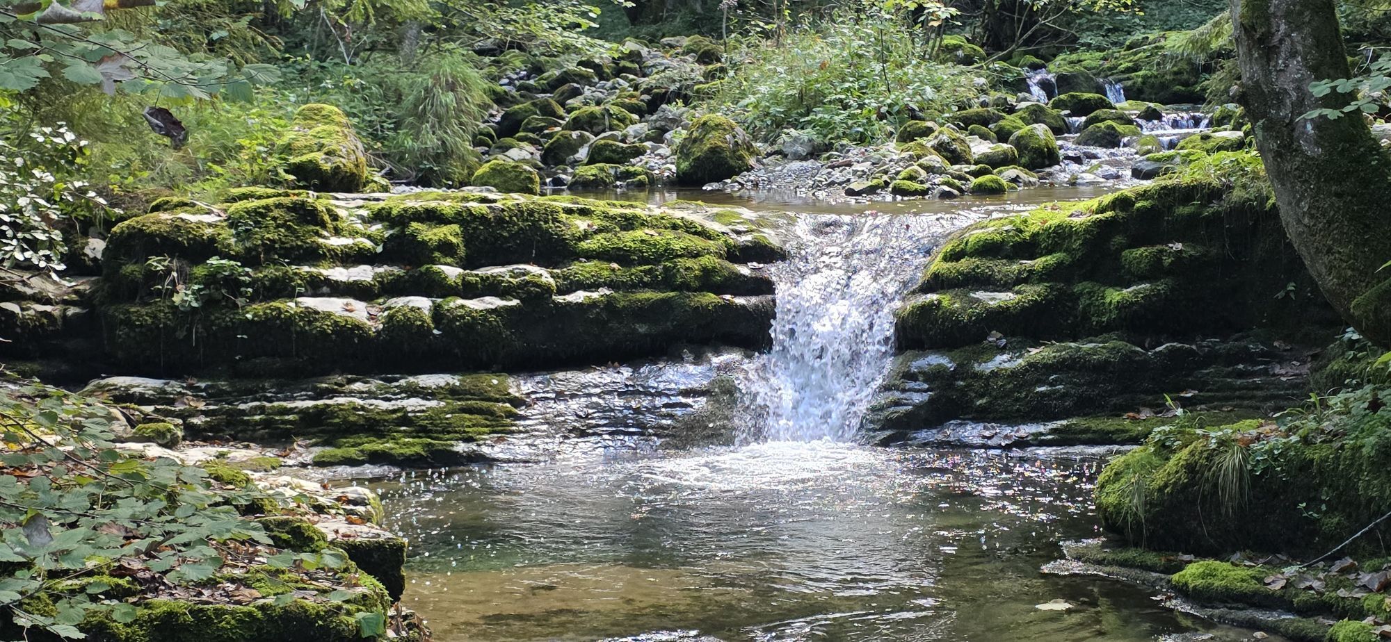
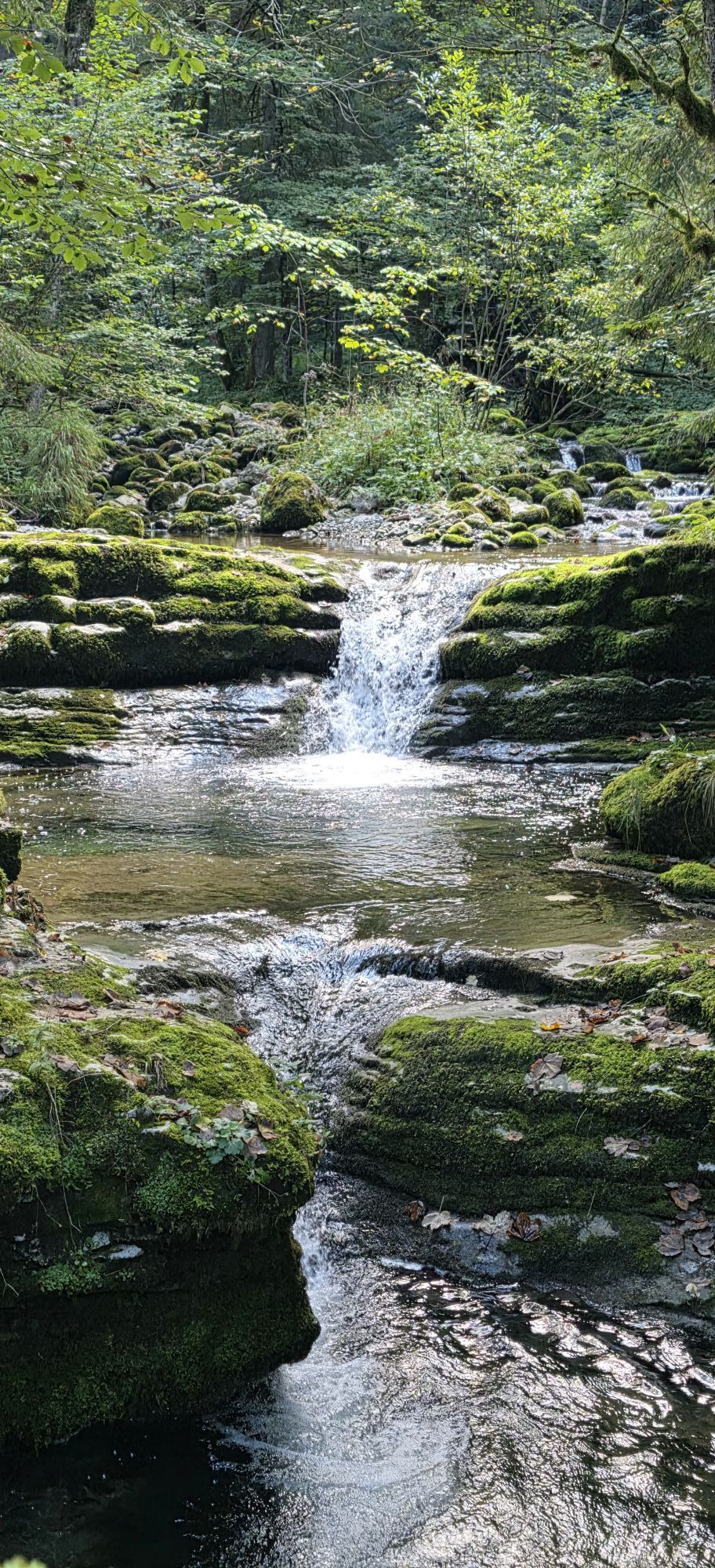
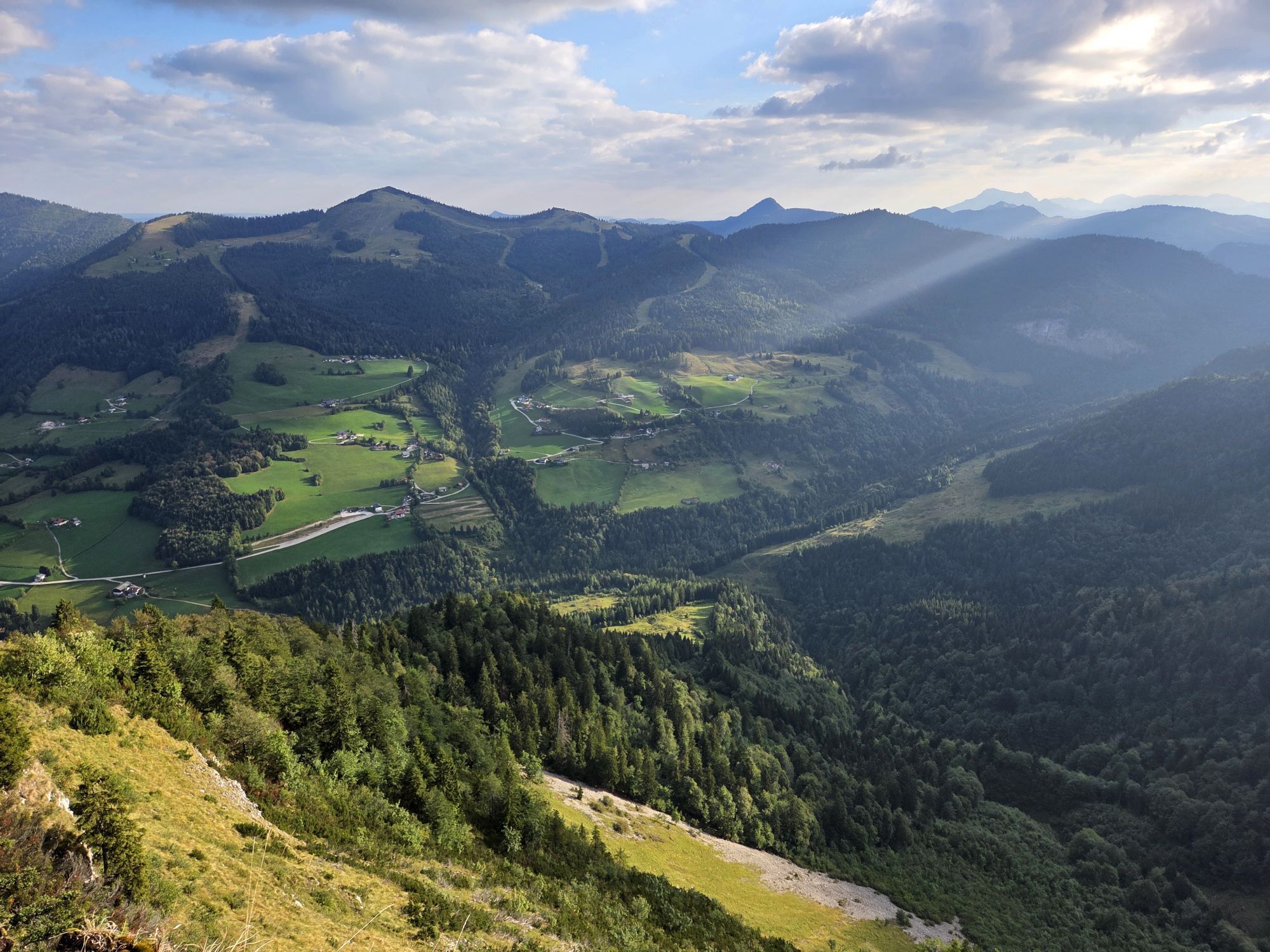
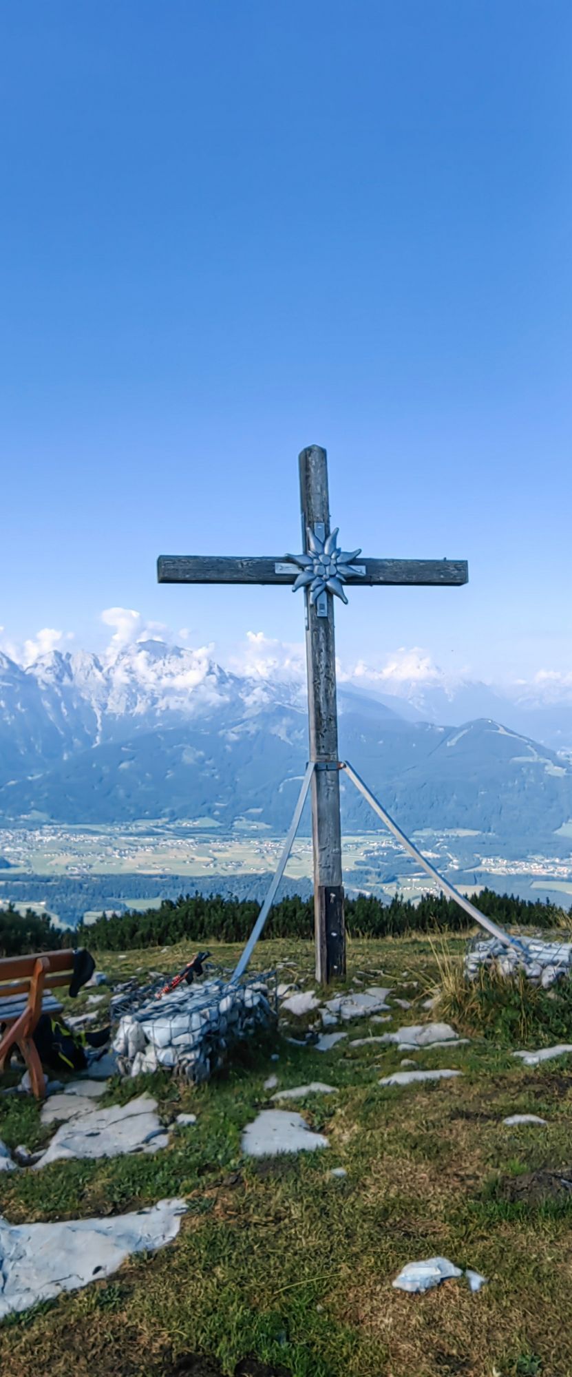
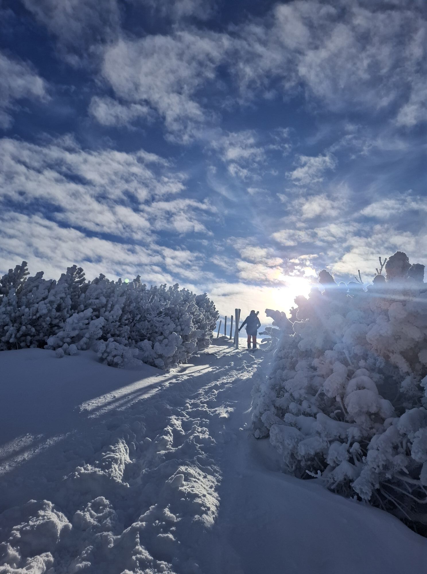
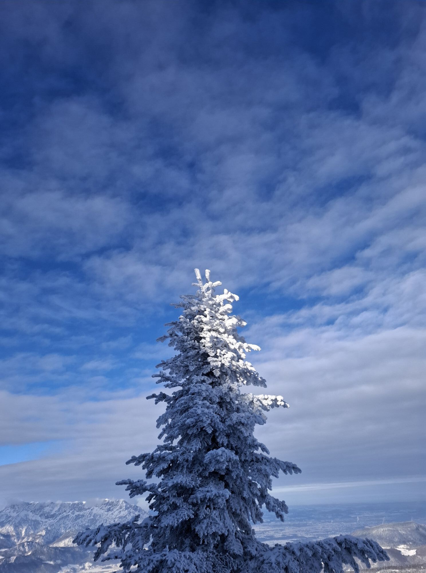
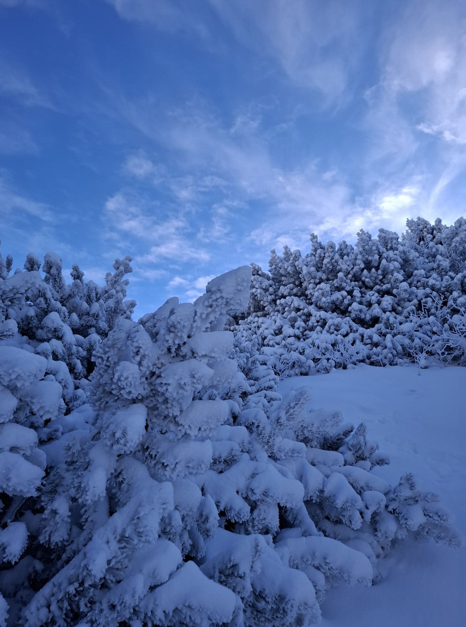
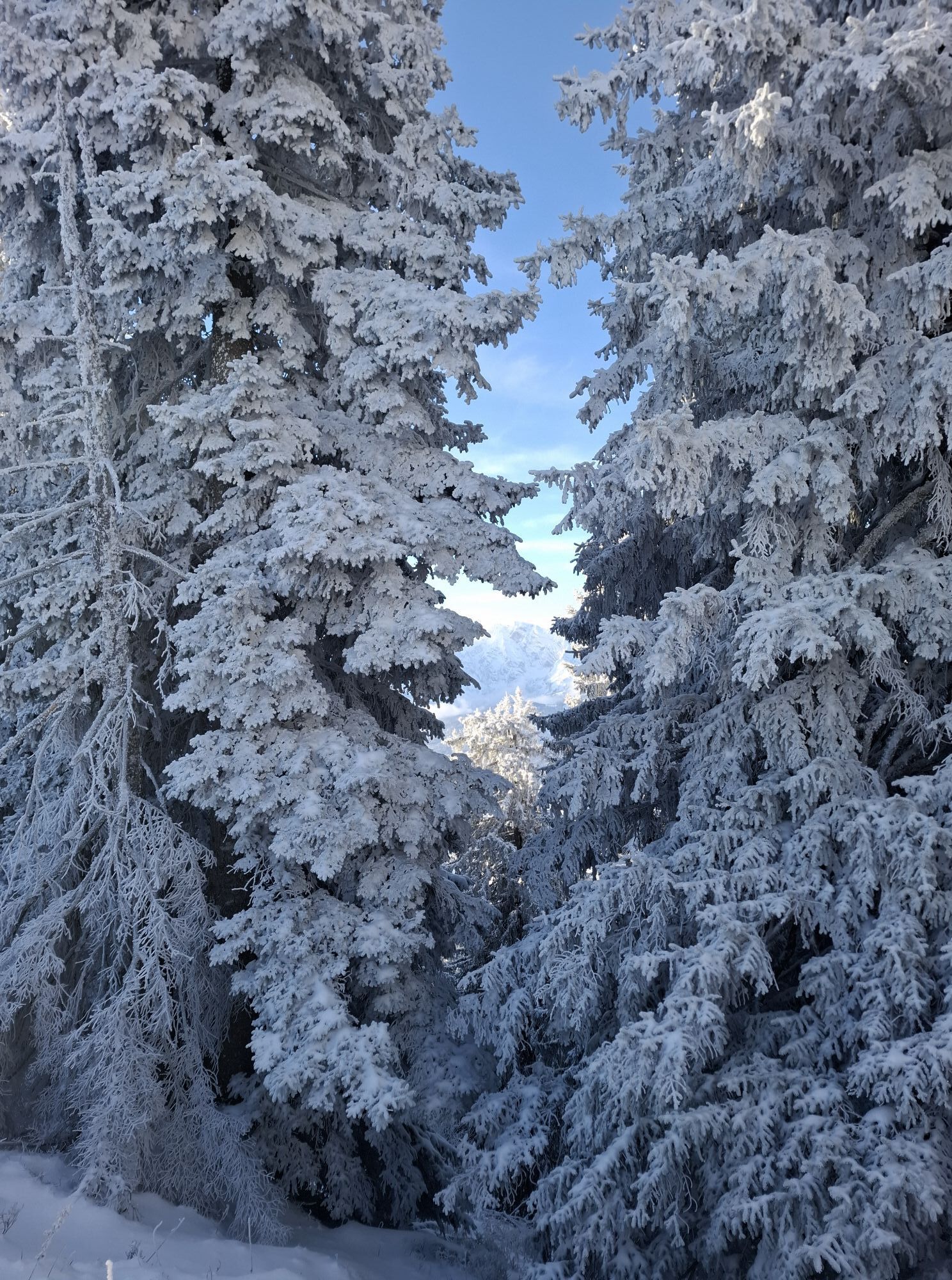



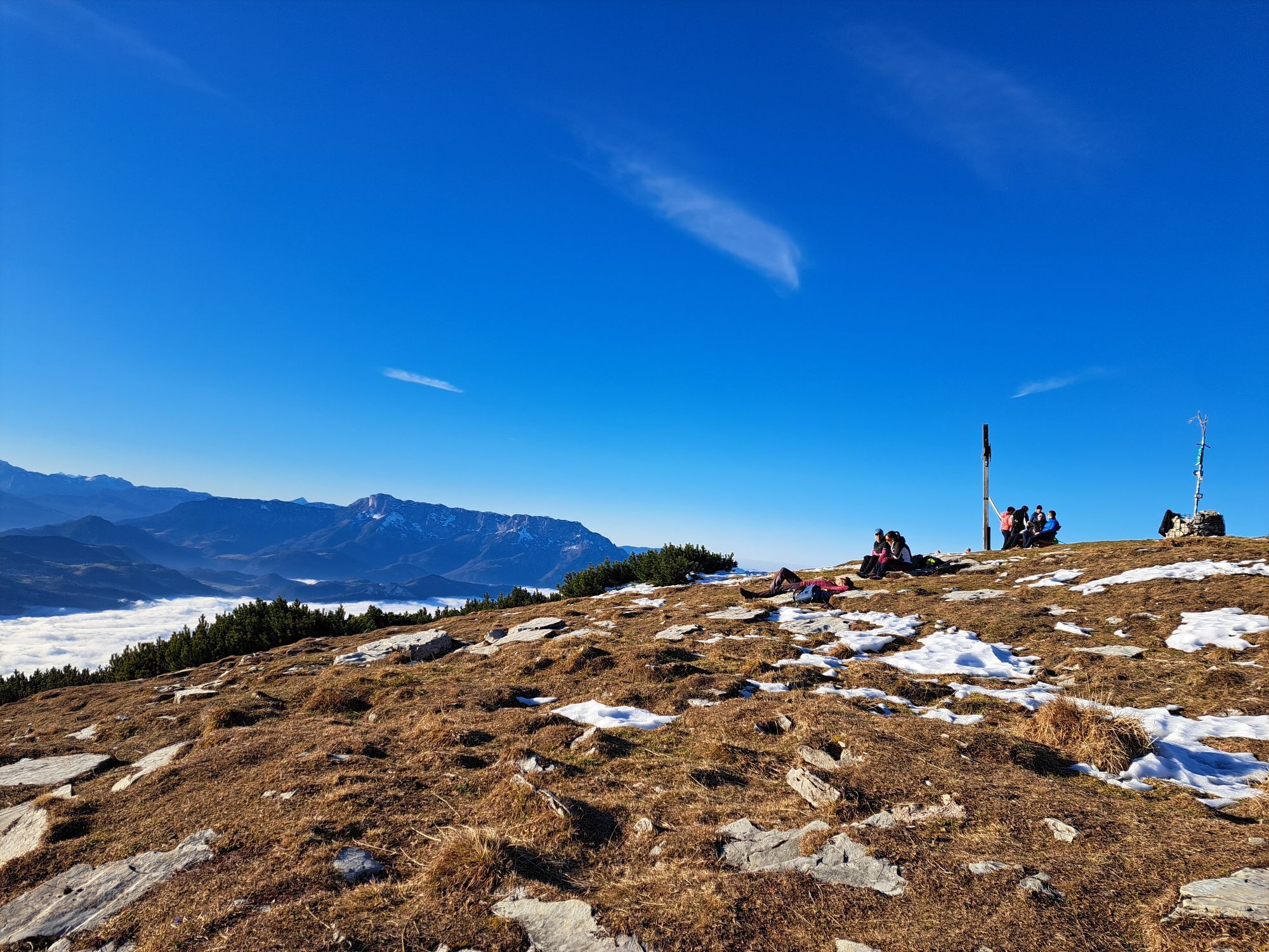
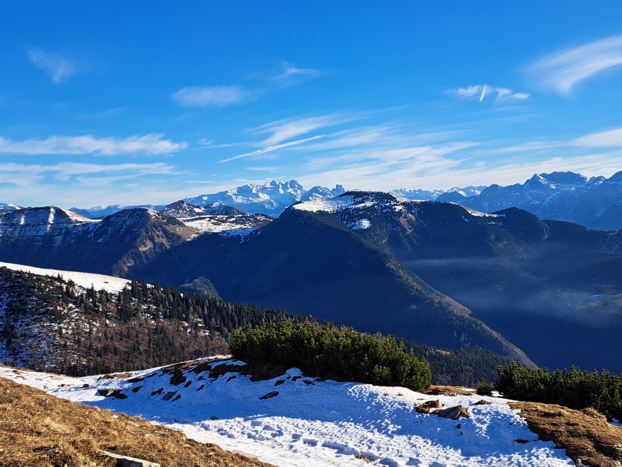
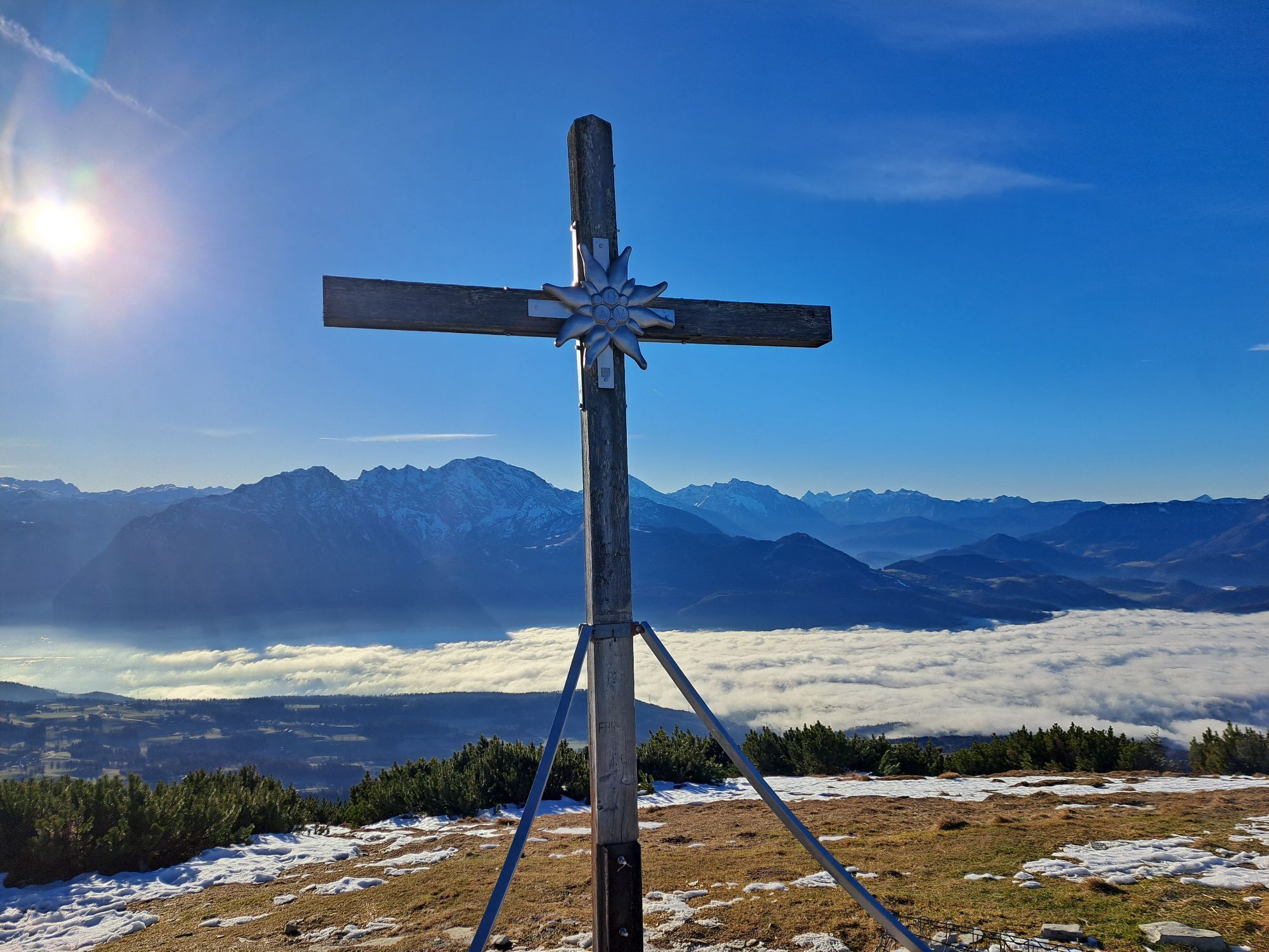
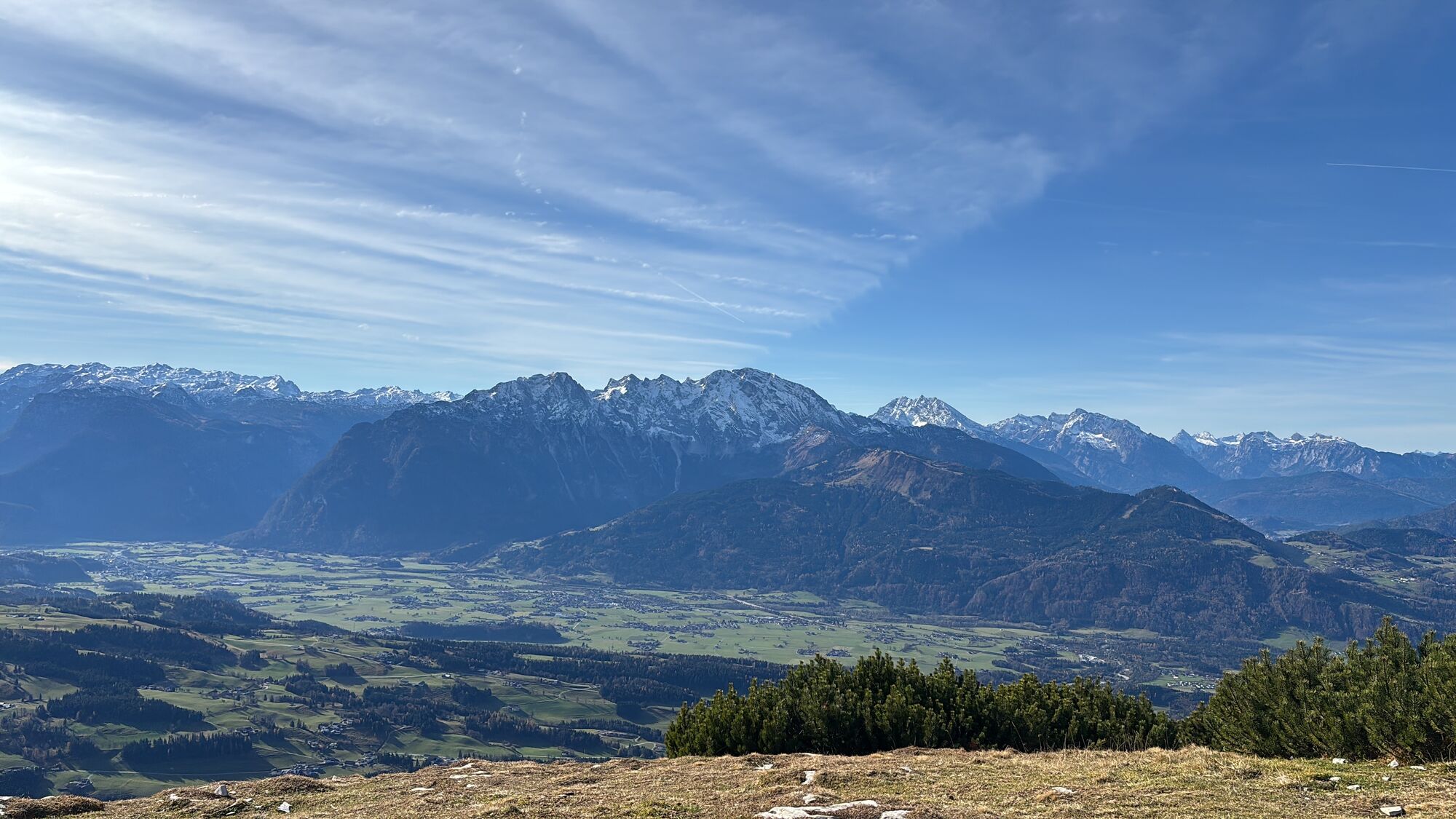
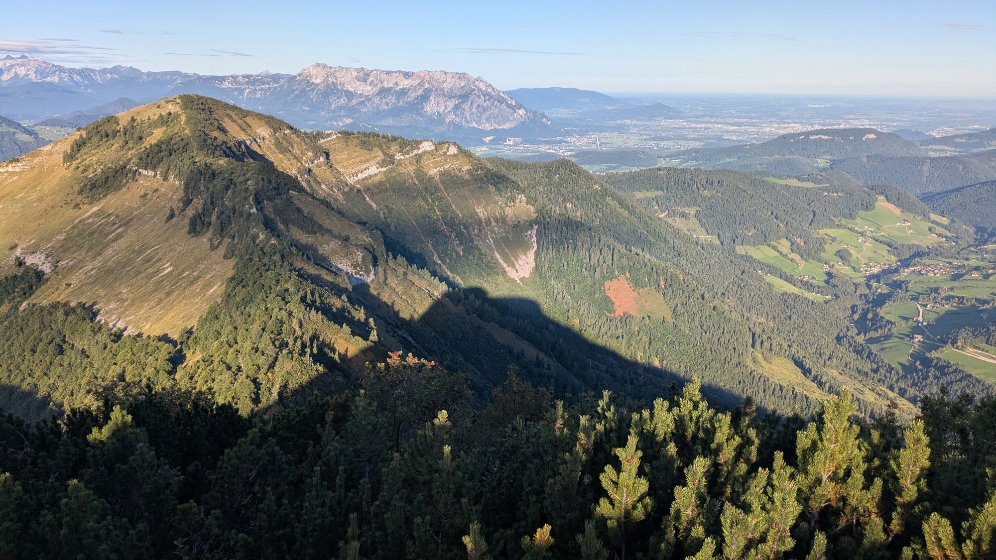
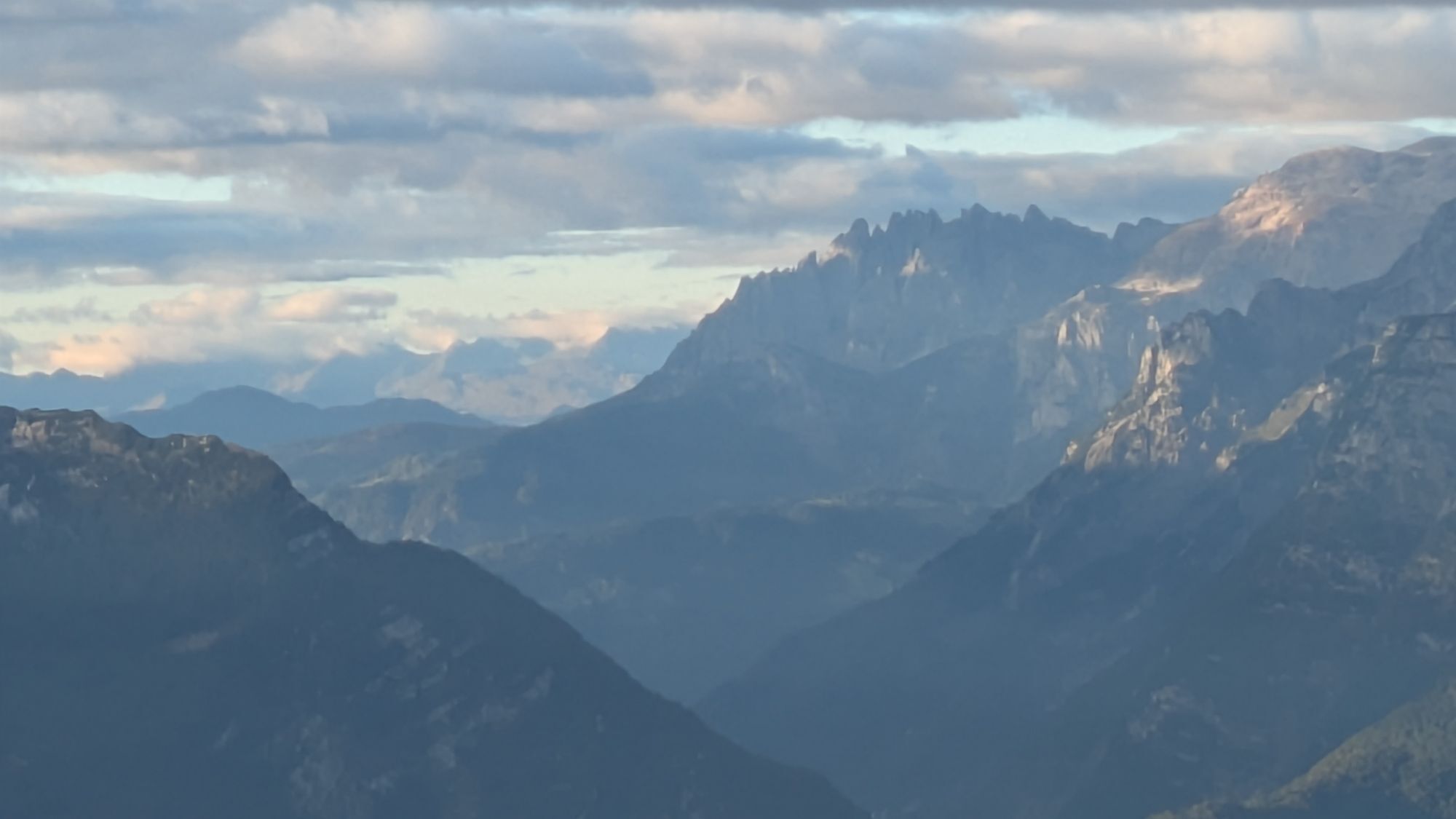
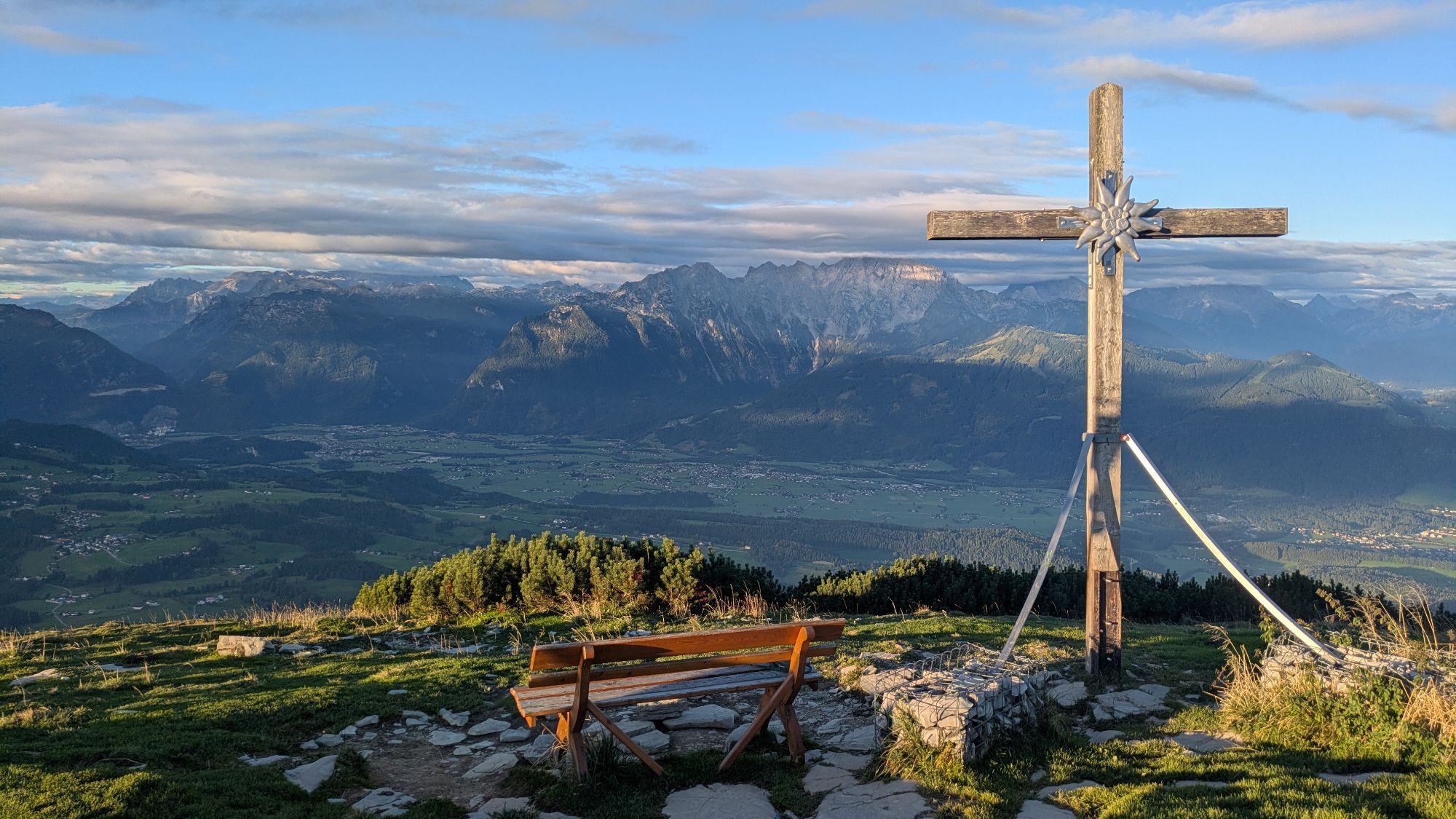
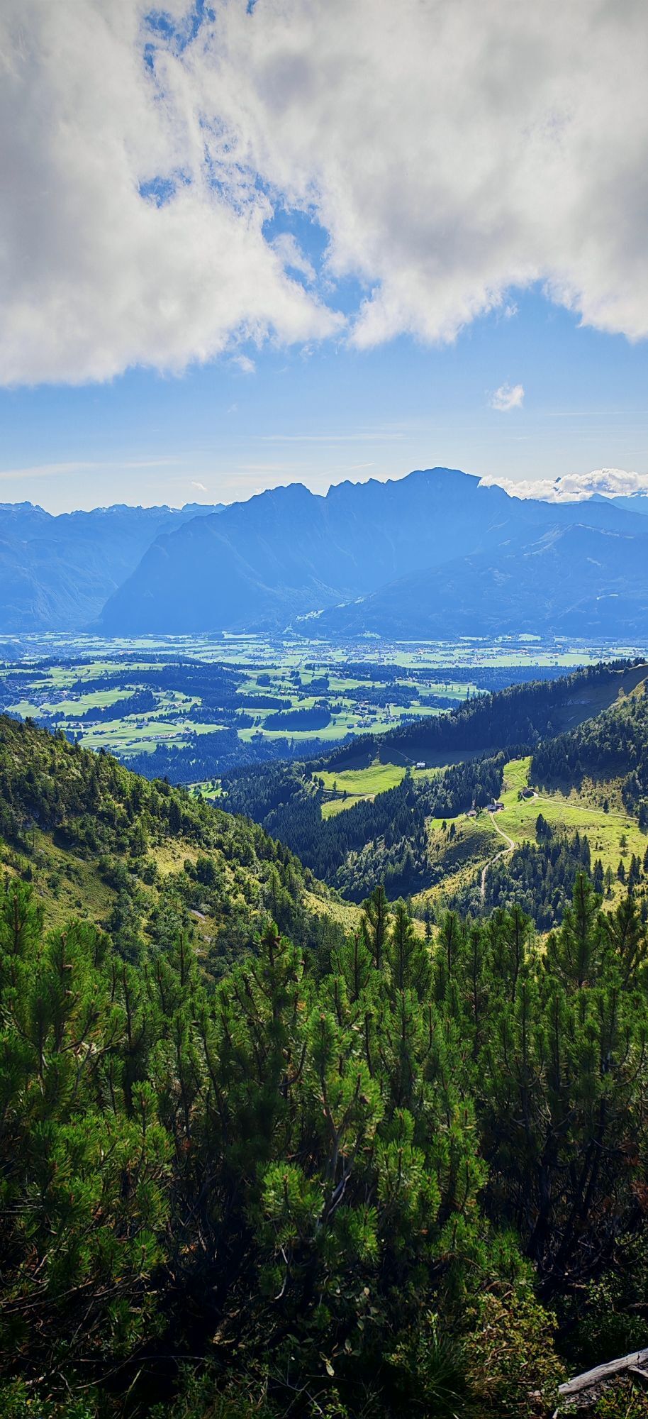
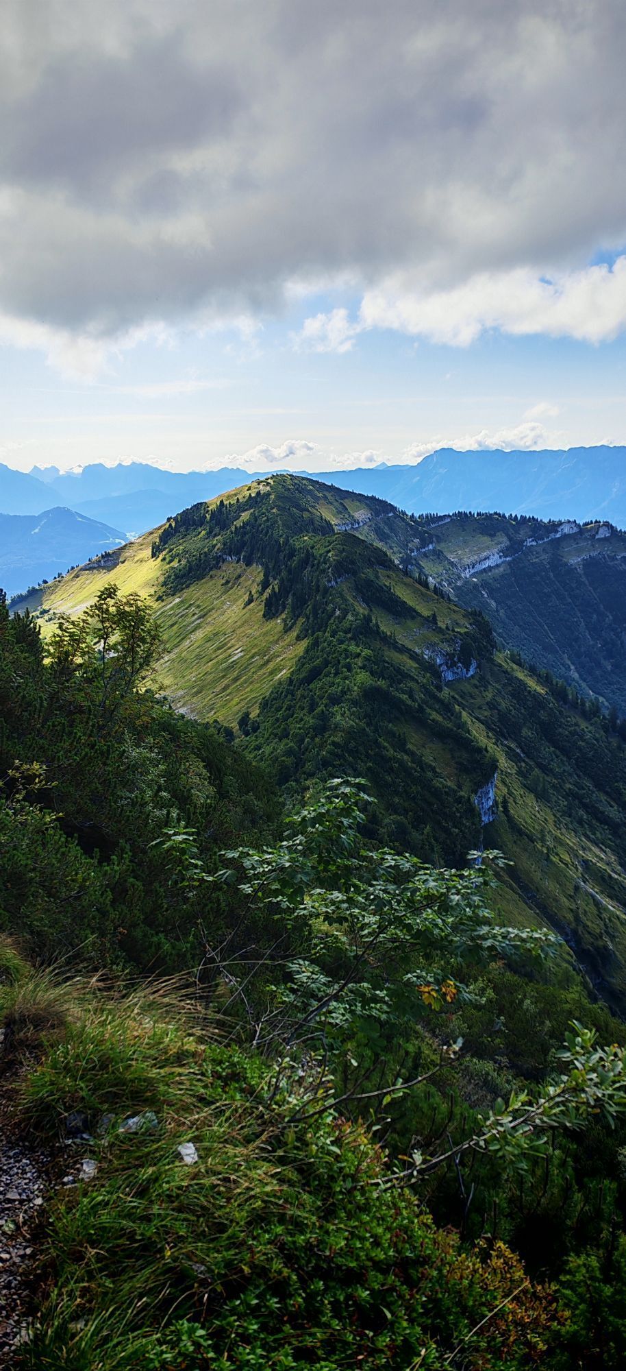
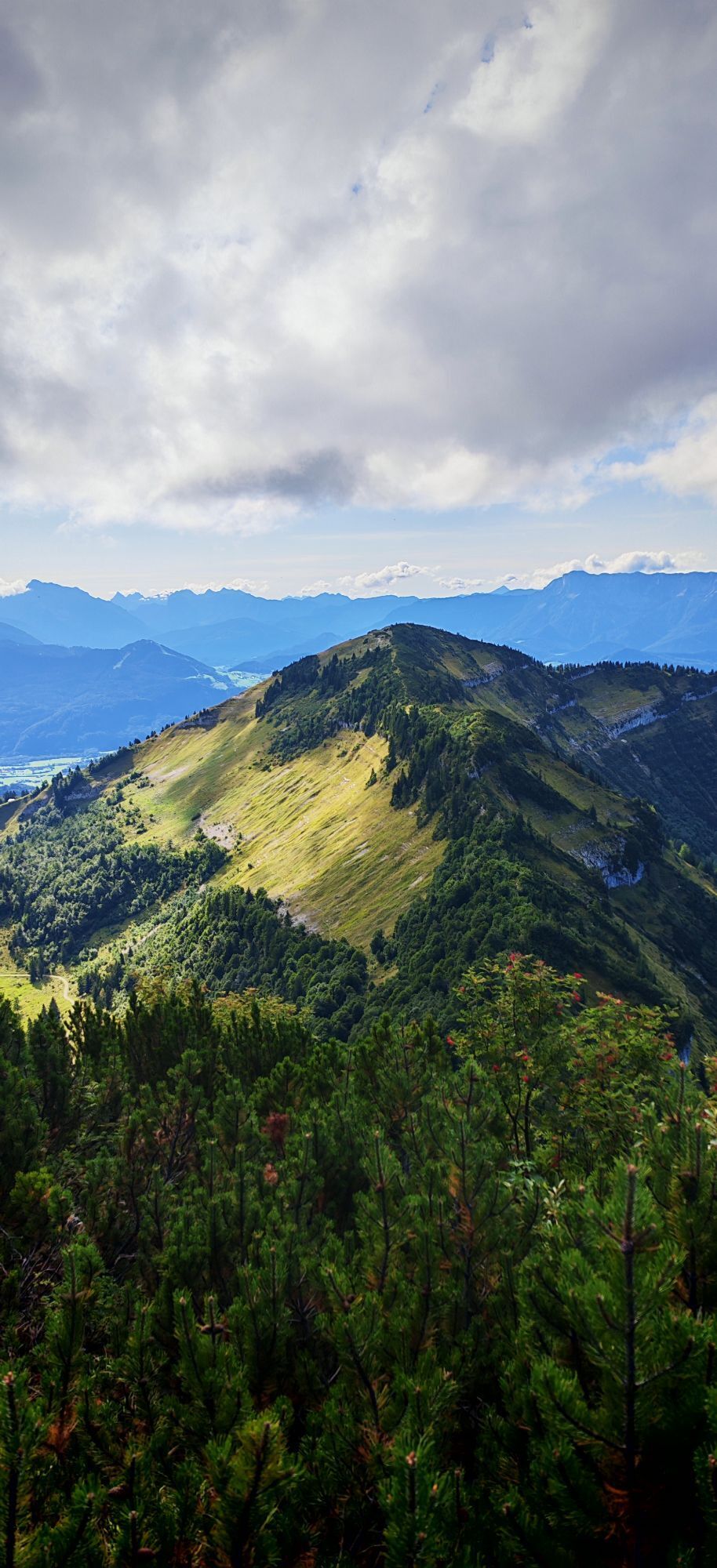
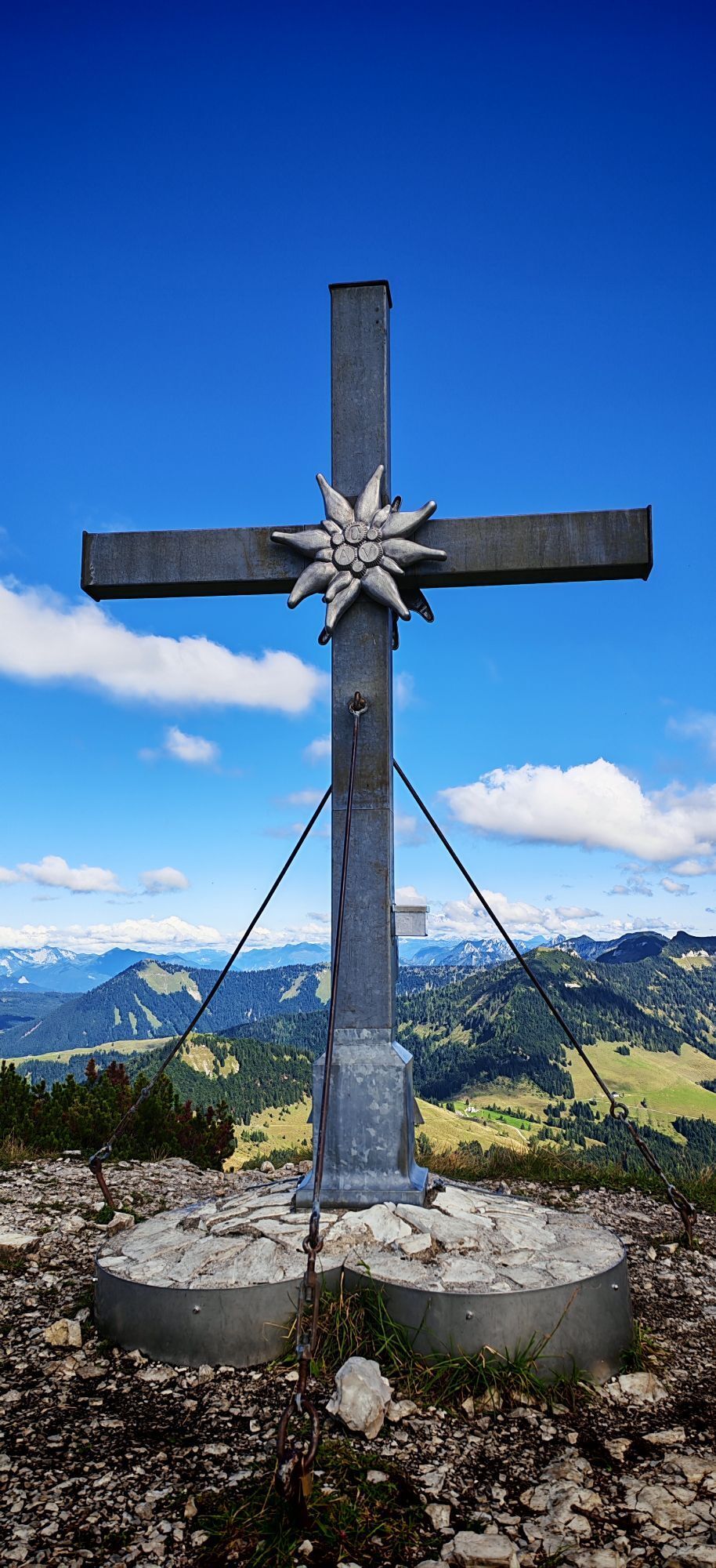
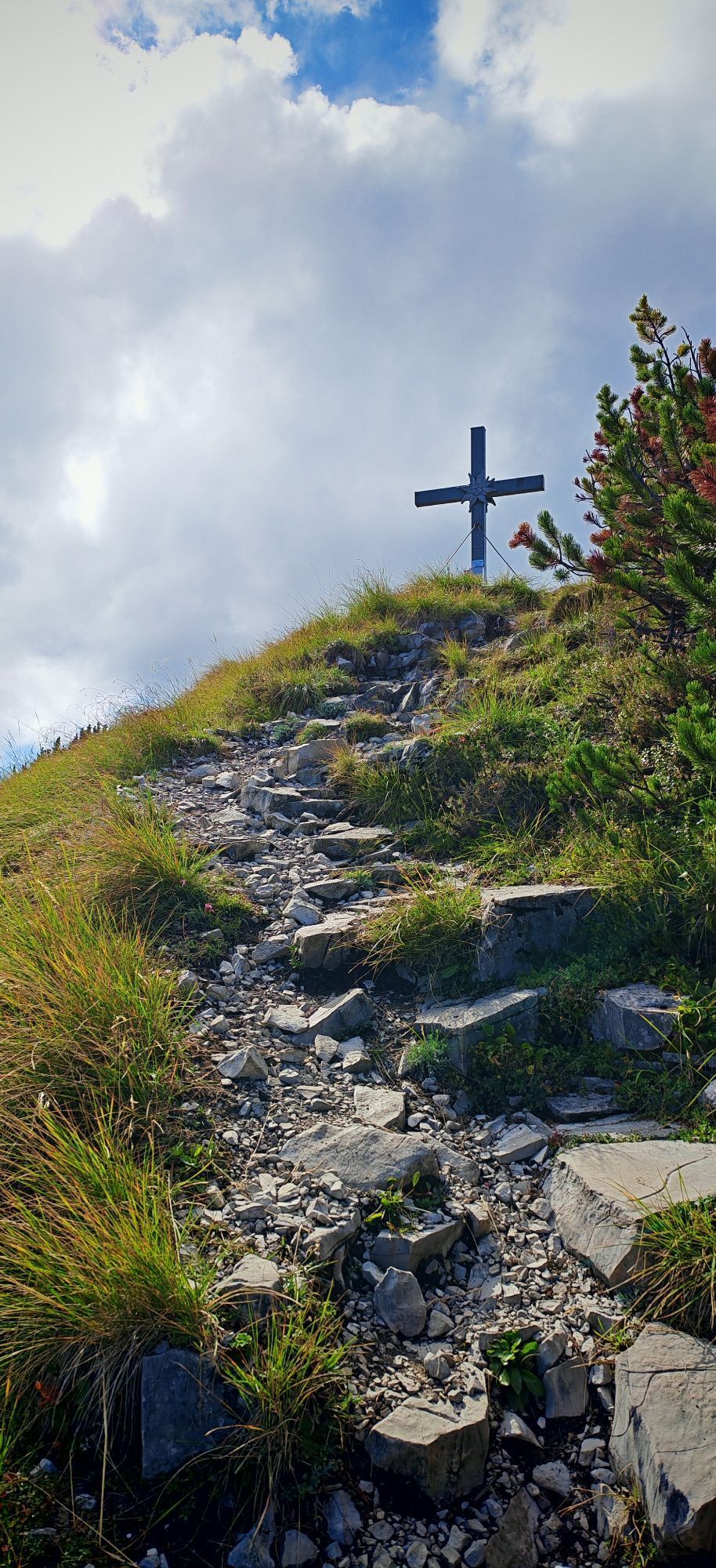
Either ascent along the Mötelbach over the Zisterbergalm to the saddle to the Schmittenstein (1696 m), the highest mountain of Krispl-Gaissau, with its steep slopes and scree cirques. Continue to the Schlenken,...
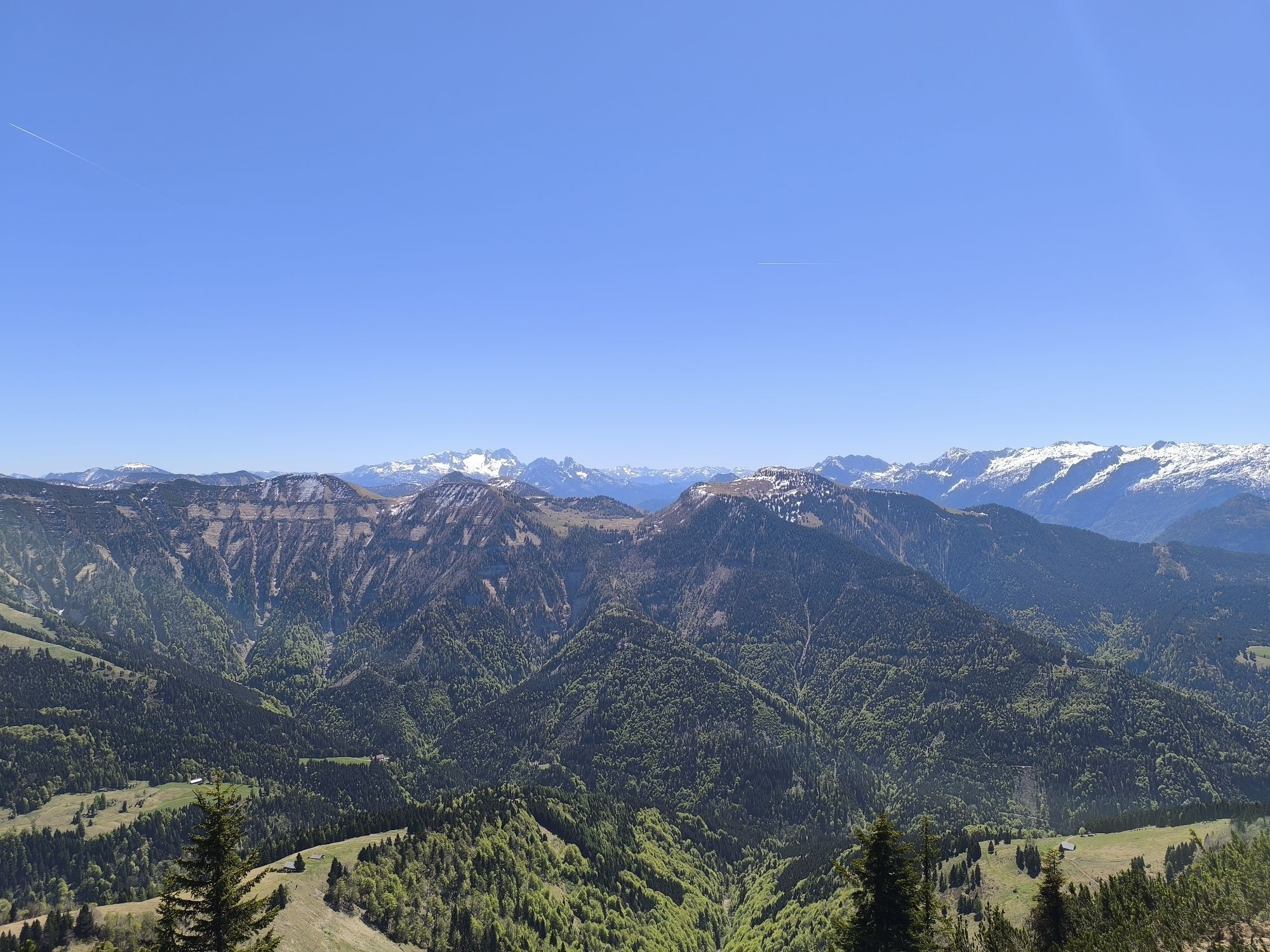
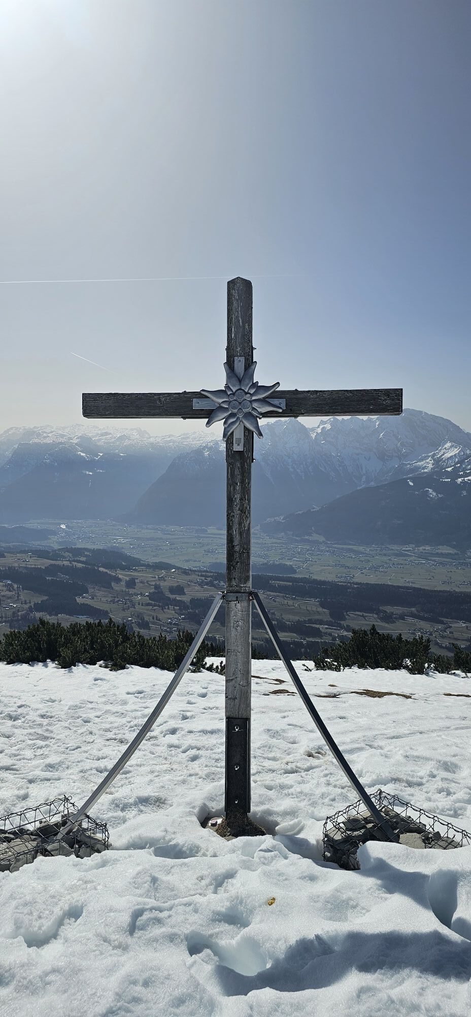
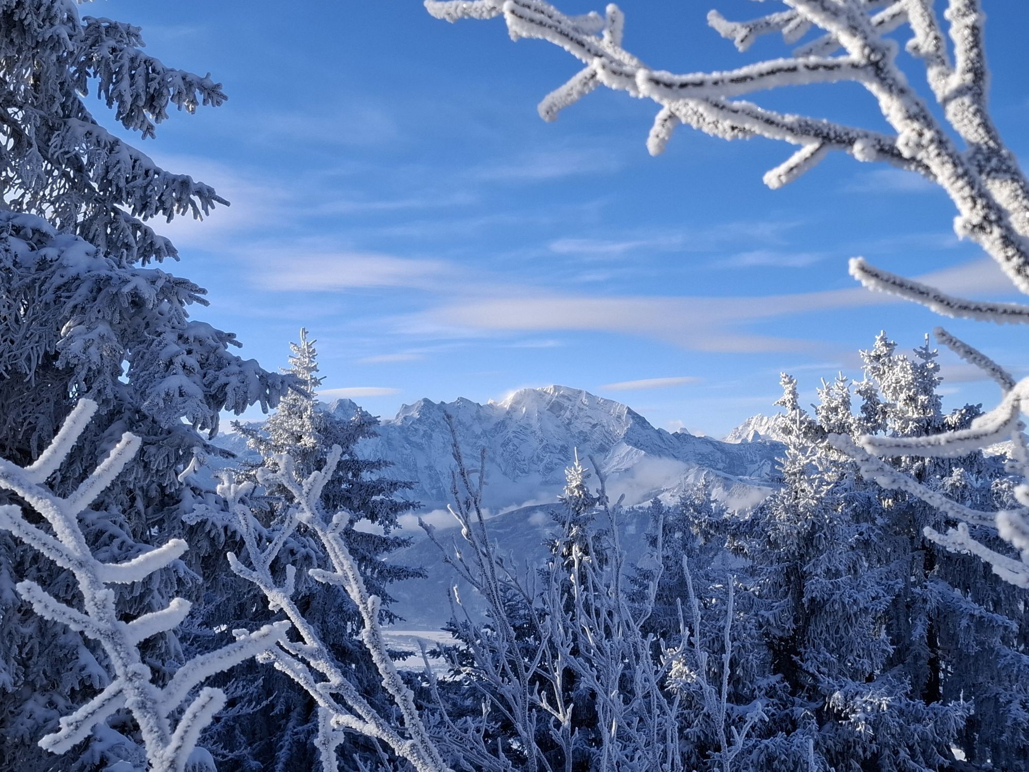
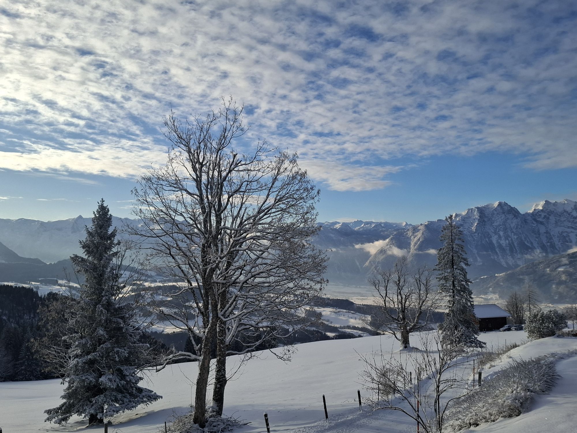
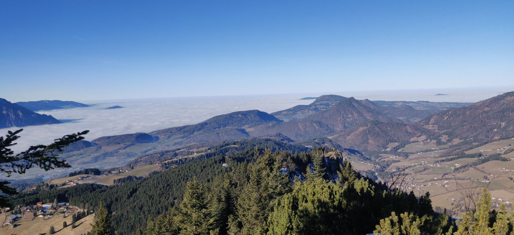
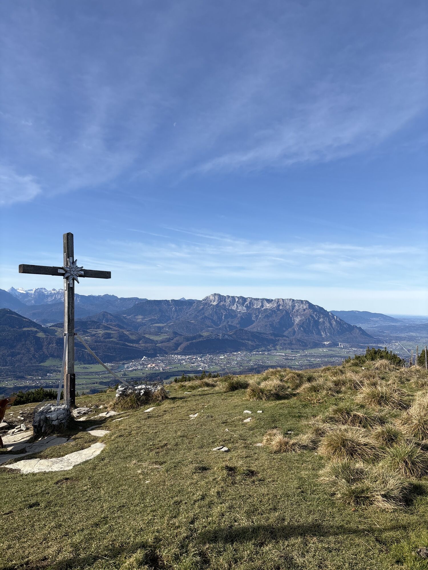
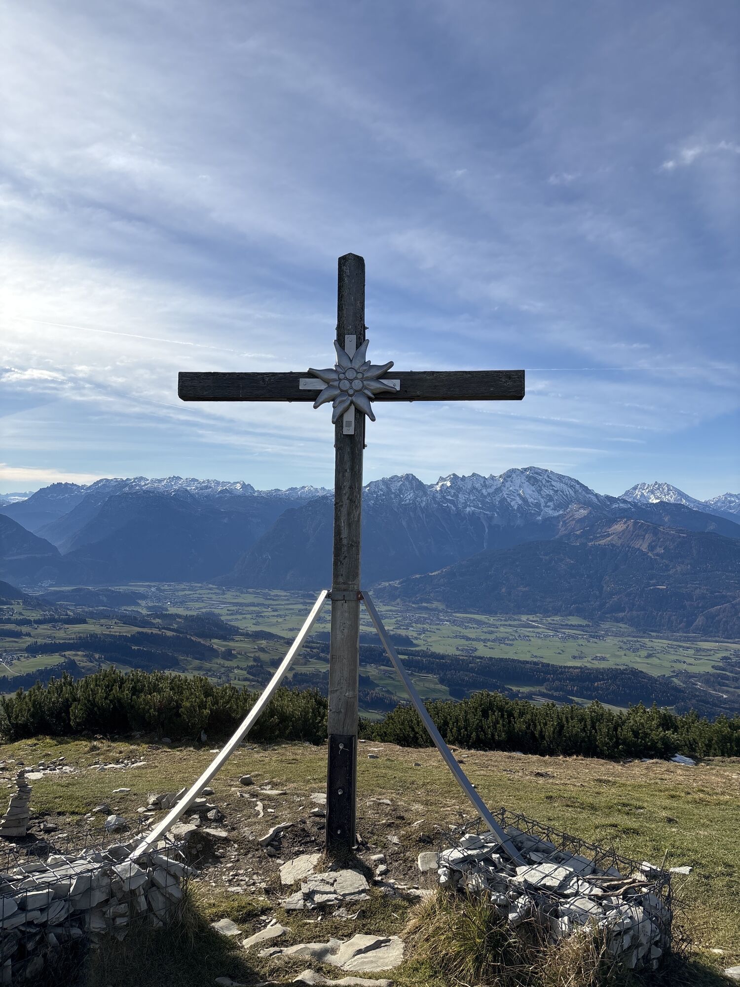
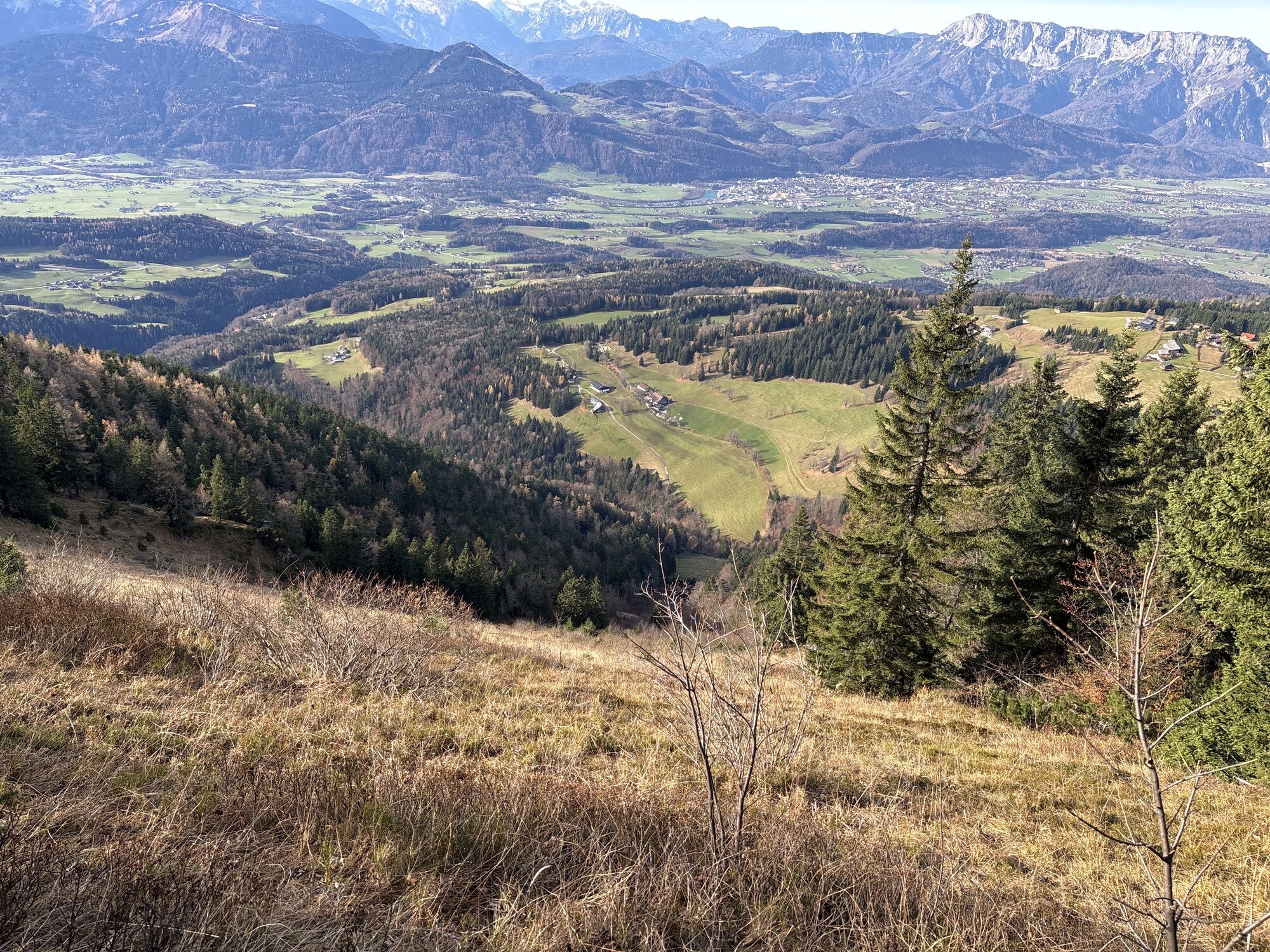
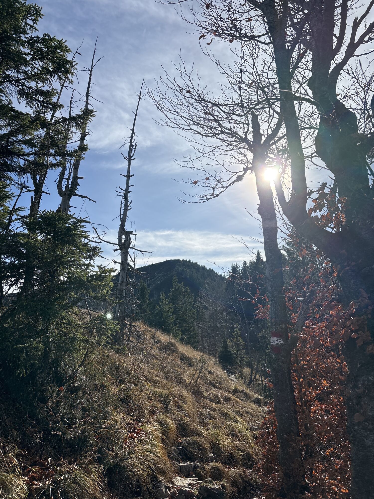
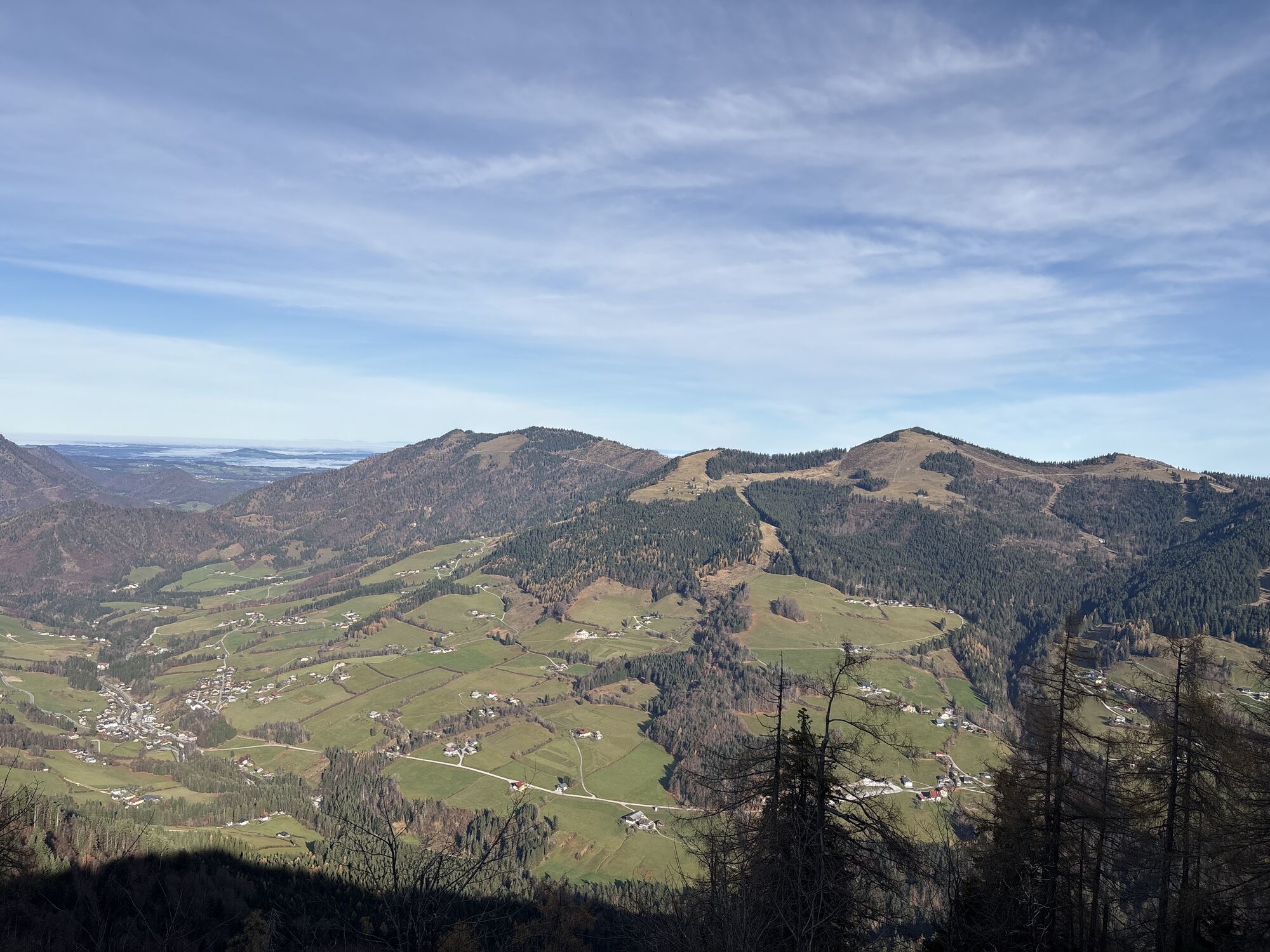
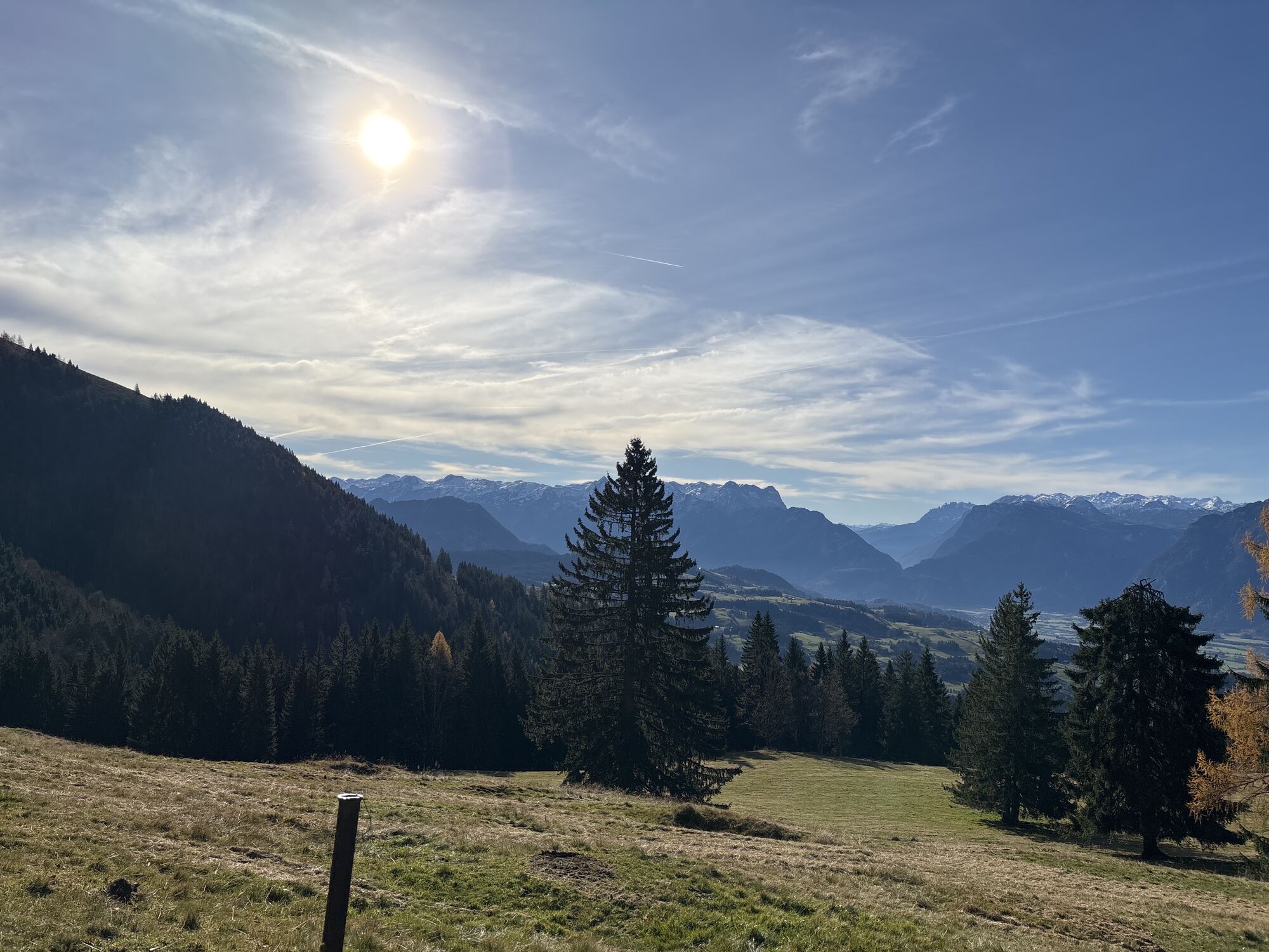
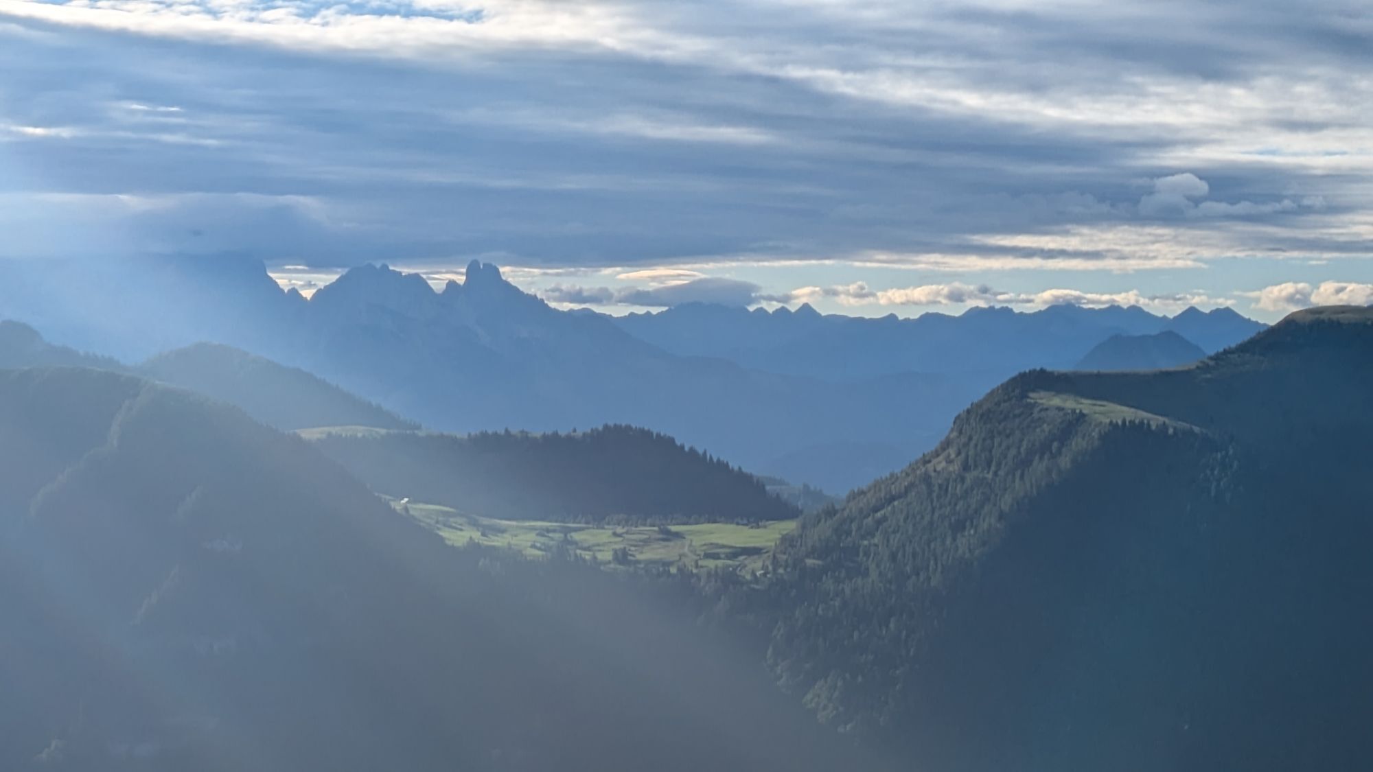
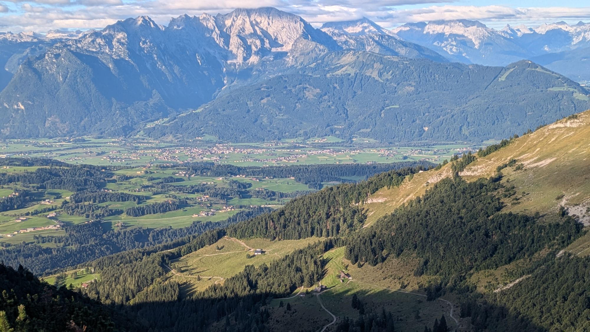
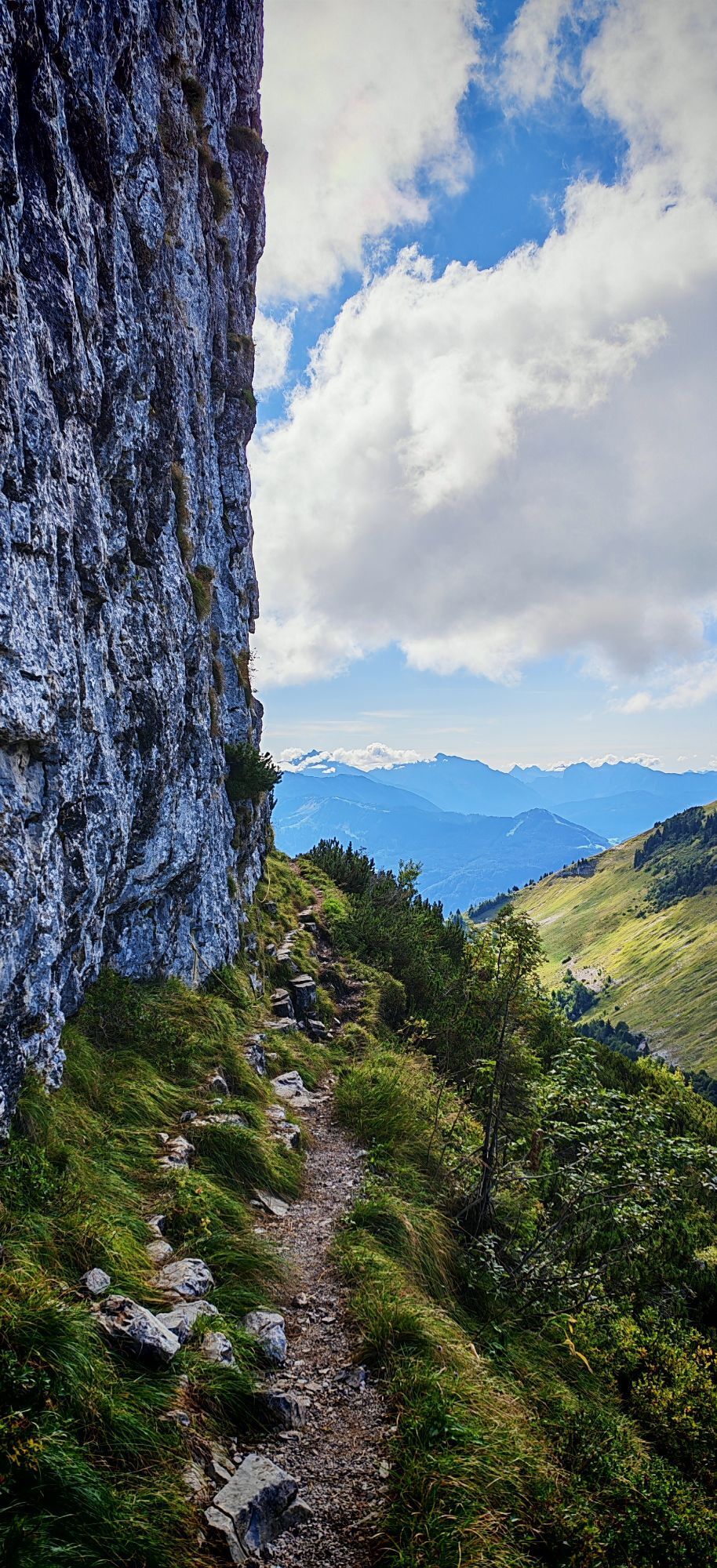
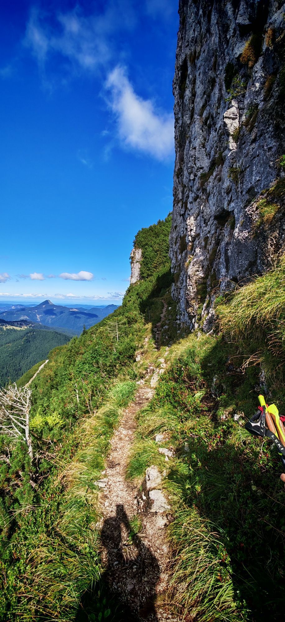
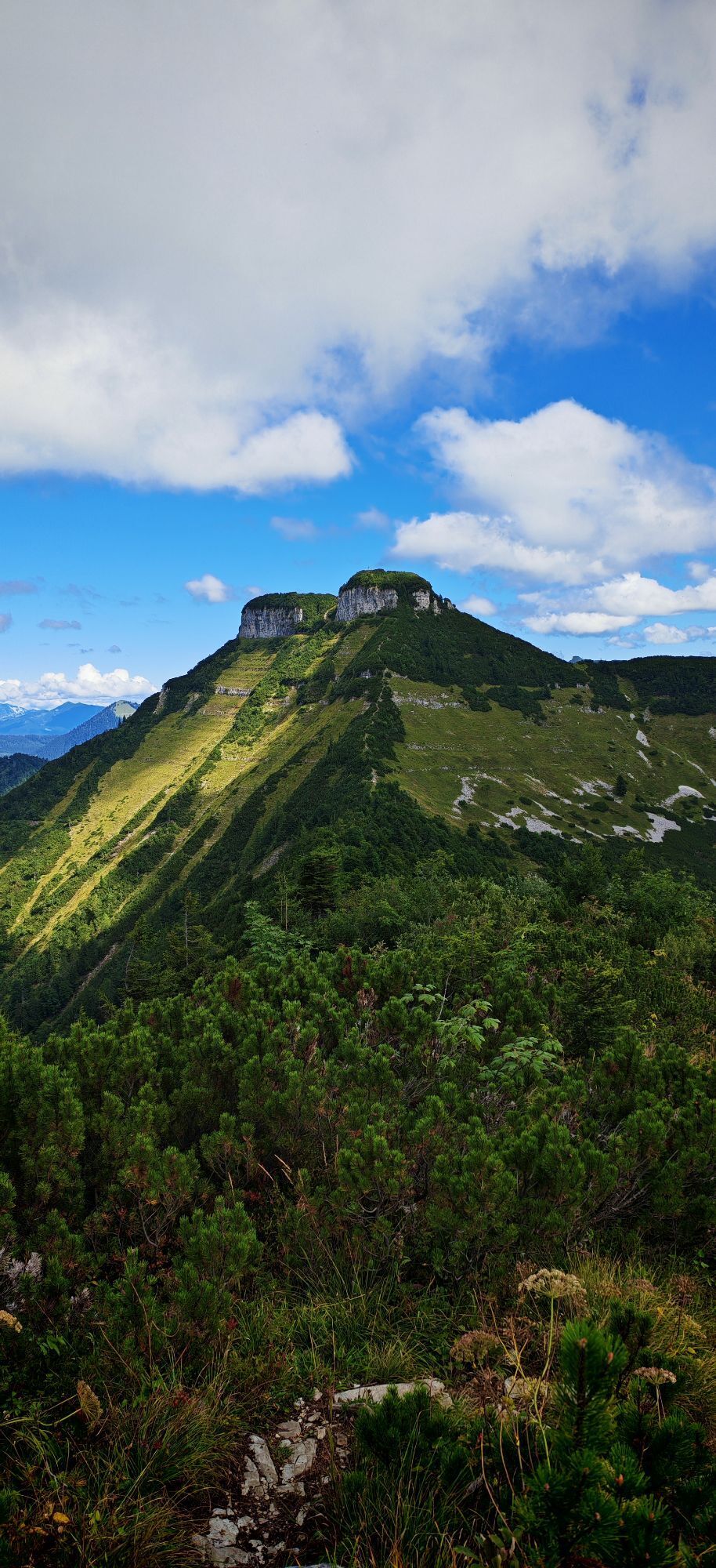
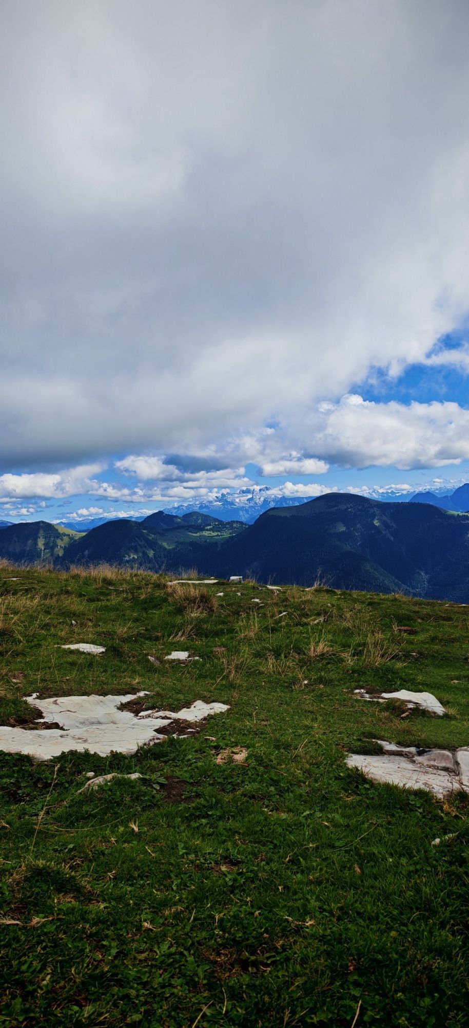
Either ascent along the Mötelbach over the Zisterbergalm to the saddle to the Schmittenstein (1696 m), the highest mountain of Krispl-Gaissau, with its steep slopes and scree cirques. Continue to the Schlenken, a magnificent viewpoint (cornerstone of the Osterhorn group). View into the Salzach valley, the Alpine foothills, the Berchtesgaden limestone Alps, the Tennengebirge, Hochkönig and Dachstein.
Descent via the Schlenkenalm or via the Jagernase to Formau and via the bridle path to Gaissau.
Or ascent from Gaissau via the Knoglstraße to Formau and further to the Schlenken and then to the Schmittenstein. Descent via the saddle to the Zisterbergalm and along the Mörtelbach back to Gaissau.

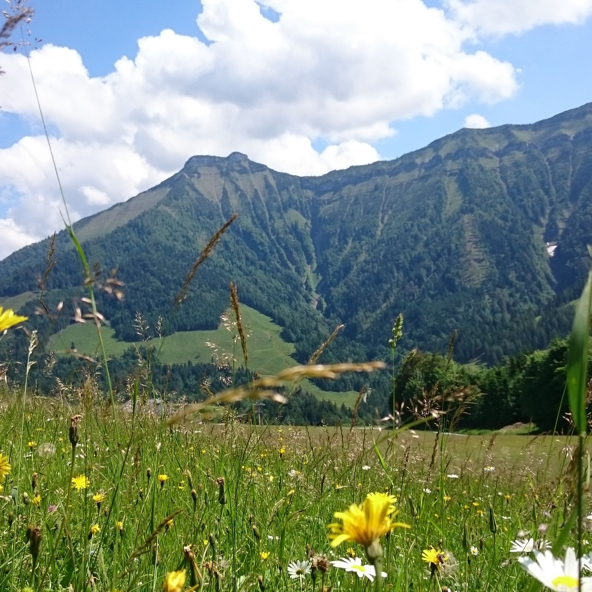
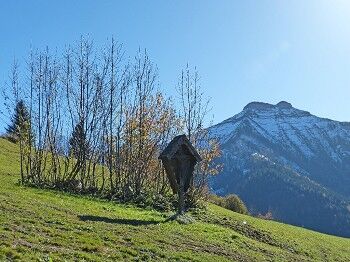
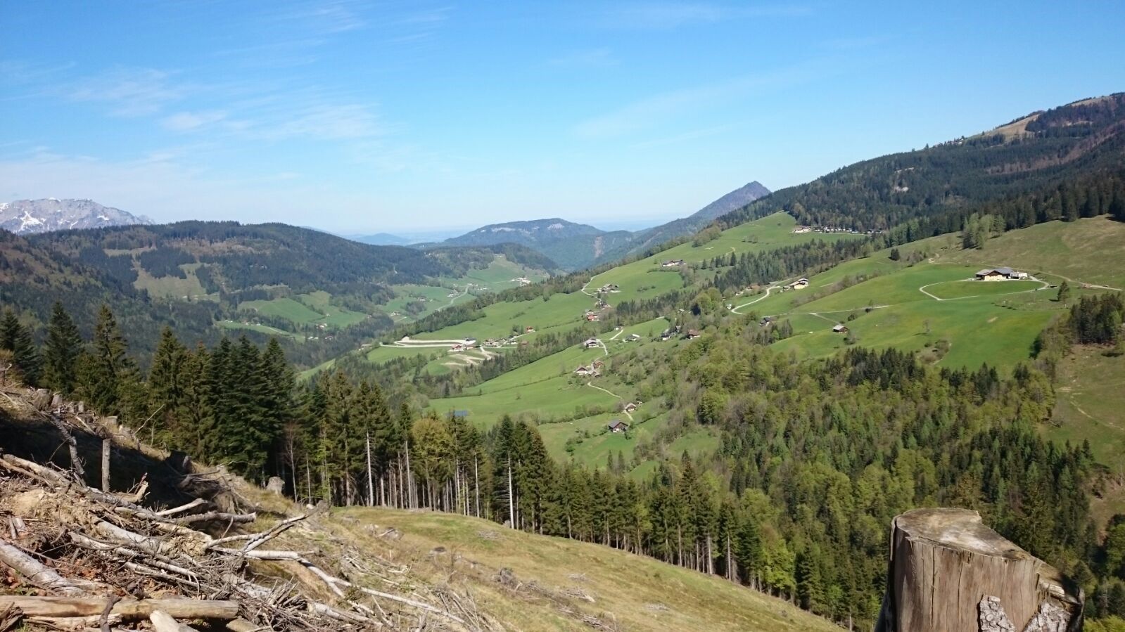
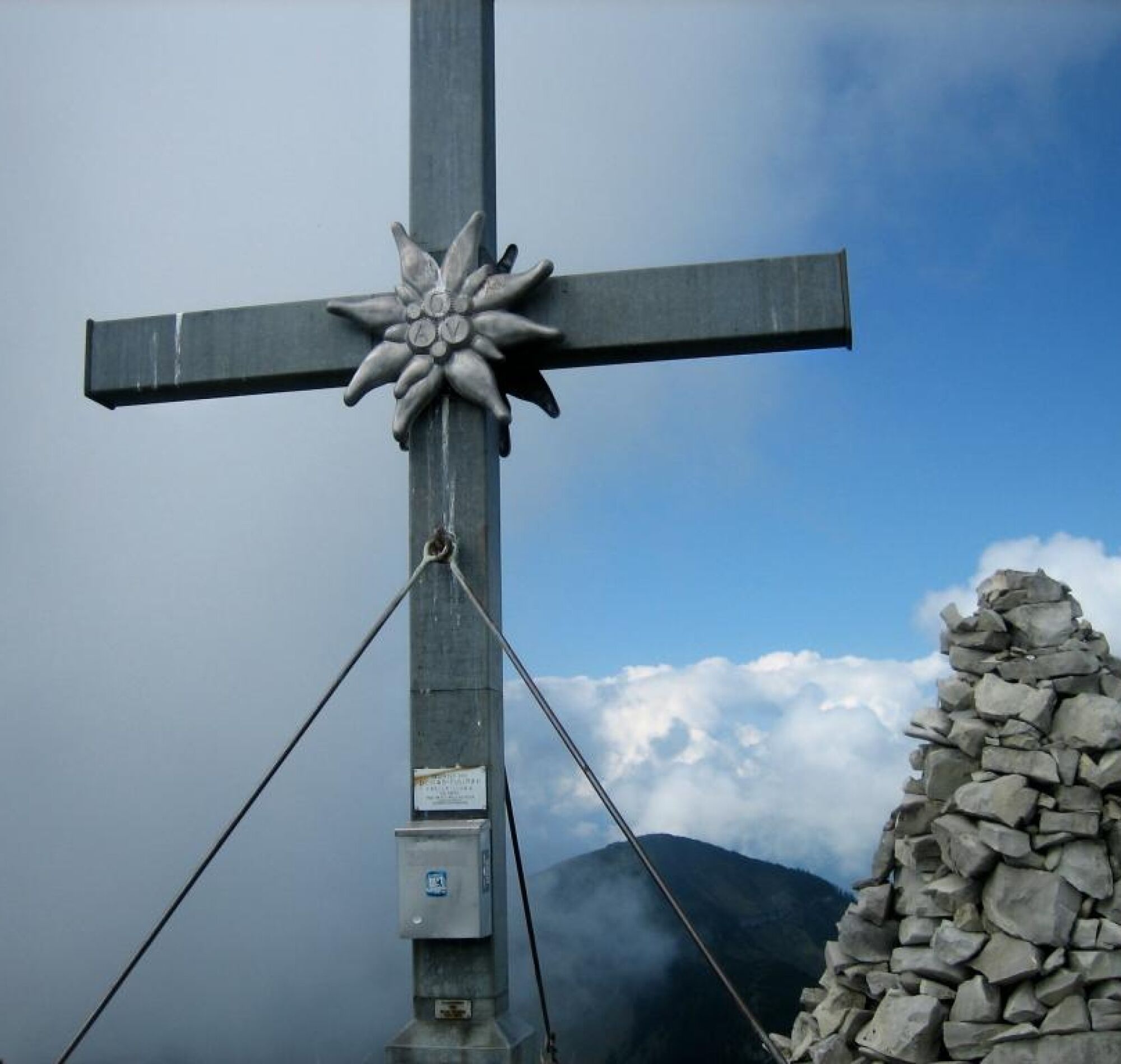
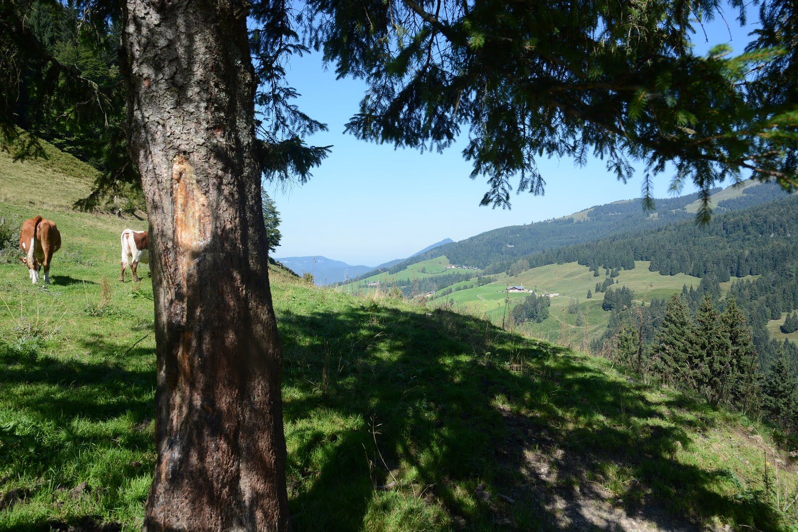
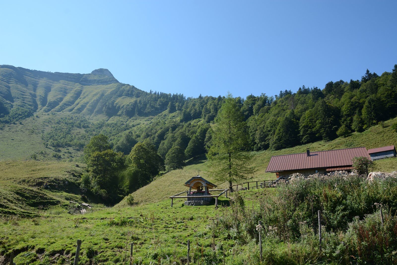

Either ascent along the Mötelbach over the Zisterbergalm to the saddle to the Schmittenstein (1696 m), the highest mountain of Krispl, with its steep slopes and scree cirques. Continue to the Schlenken, a magnificent viewpoint (cornerstone of the Osterhorn group). View into the Salzach valley, the Alpine foothills, the Berchtesgaden limestone Alps, the Tennengebirge, Hochkönig and Dachstein.
Descent via the Schlenkenalm or via the Jagernase to Formau and via the bridle path to Gaissau.
Or ascent from Gaissau via the Knoglstraße to Formau and further to the Schlenken and then to the Schmittenstein. Descent via the saddle to the Zisterbergalm and along the Mörtelbach back to Gaissau.
Sturdy footwear, hiking poles, good fitness, sun protection
You should be sure-footed for this hike.
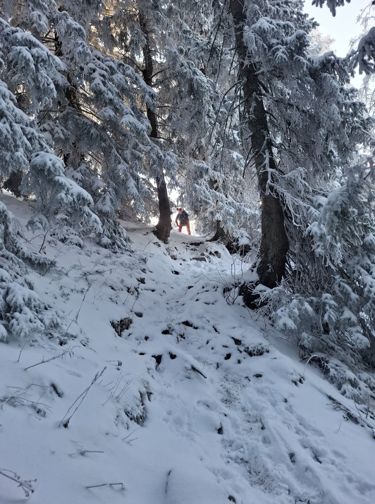
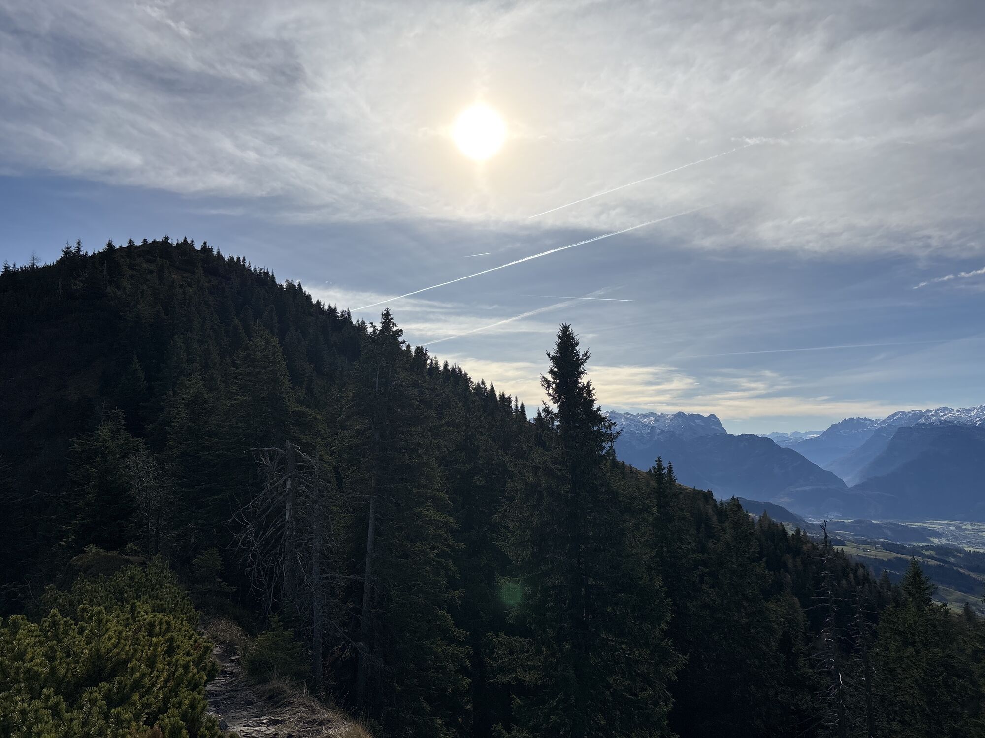
Attention! A small part is rocky and you have to do a bit of climbing. You are supported there by a fixed cable.
Along the Wiestaler Landesstrasse to Gaissau or via the Krispler Landesstrasse first to Krispl and then to Gaissau.
By ÖBB from Salzburg main station to Hallein, from there by post bus to Krispl-Gaissau
Duration of the entire route incl. breaks and enjoying the view approx. 7 hours.

Spletne kamere s turneje

Priljubljeni izleti v okolici
- 4.7
Schwarzer Berg / Golling
srednjaPohodništvo 2.54 km - 4.4
Fuschlseewanderung
svetlobaPohodništvo 11 km - 4.2
Pillstein Panorama Rundweg
svetlobaPohodništvo 3.40 km - 3.9
Bärenweg am Lidaun
svetlobaPohodništvo 9.05 km - 4.8
Abtenau: Postalm circular route 2 - Labenberg & Pitscherberg alms - (IVV circular hiking trail)
svetlobaPohodništvo 10.1 km - 4.6
The Plombergstein: Adventure and summit panorama
svetlobaPohodništvo 4.12 km - 4.7
Great and Small Barmstein, the landmarks of Hallein
težkoPohodništvo 6.58 km - 4.5
Abtenau: Postalm circular route 3 - Wiesleralm and Postalm hut
srednjaPohodništvo 9.09 km - 4.1
Illinger Alm-Runde
srednjaPohodništvo 9.89 km - 4.4
Hike to the Kleiner Barmstein via the Thürndl ruin
srednjaPohodništvo 4.20 km

Pohodništvo in sledenje


Ne zamudite ponudb in navdiha za naslednje počitnice
Vaš e-poštni naslov je bil dodan na poštni seznam.





