







Kugelberg puzzle and forest educational trail in Faistenau
Stopnja težavnosti: T1

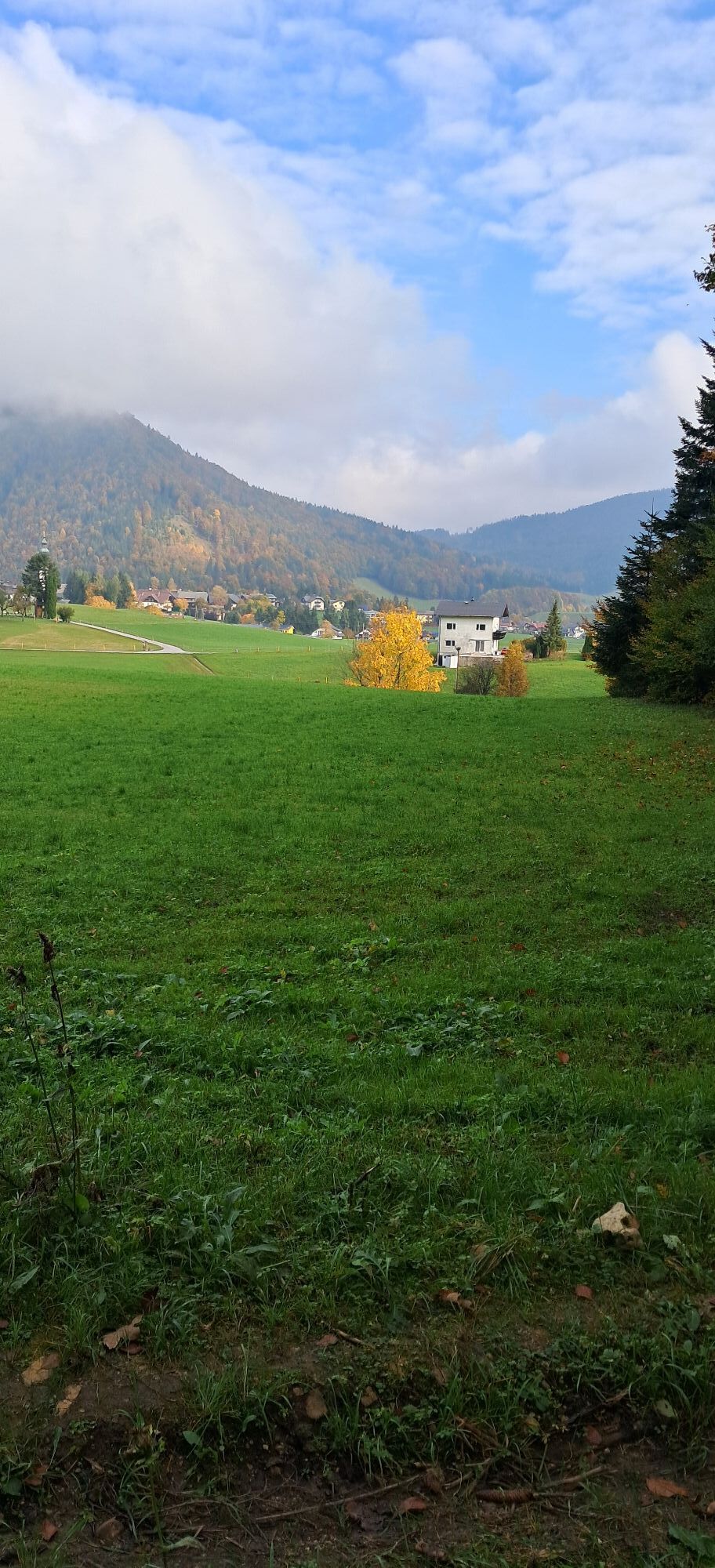

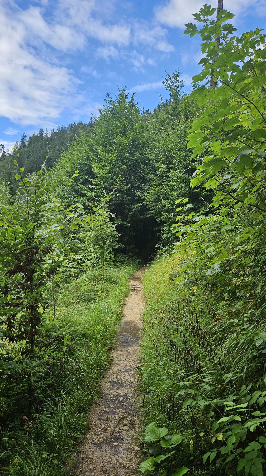
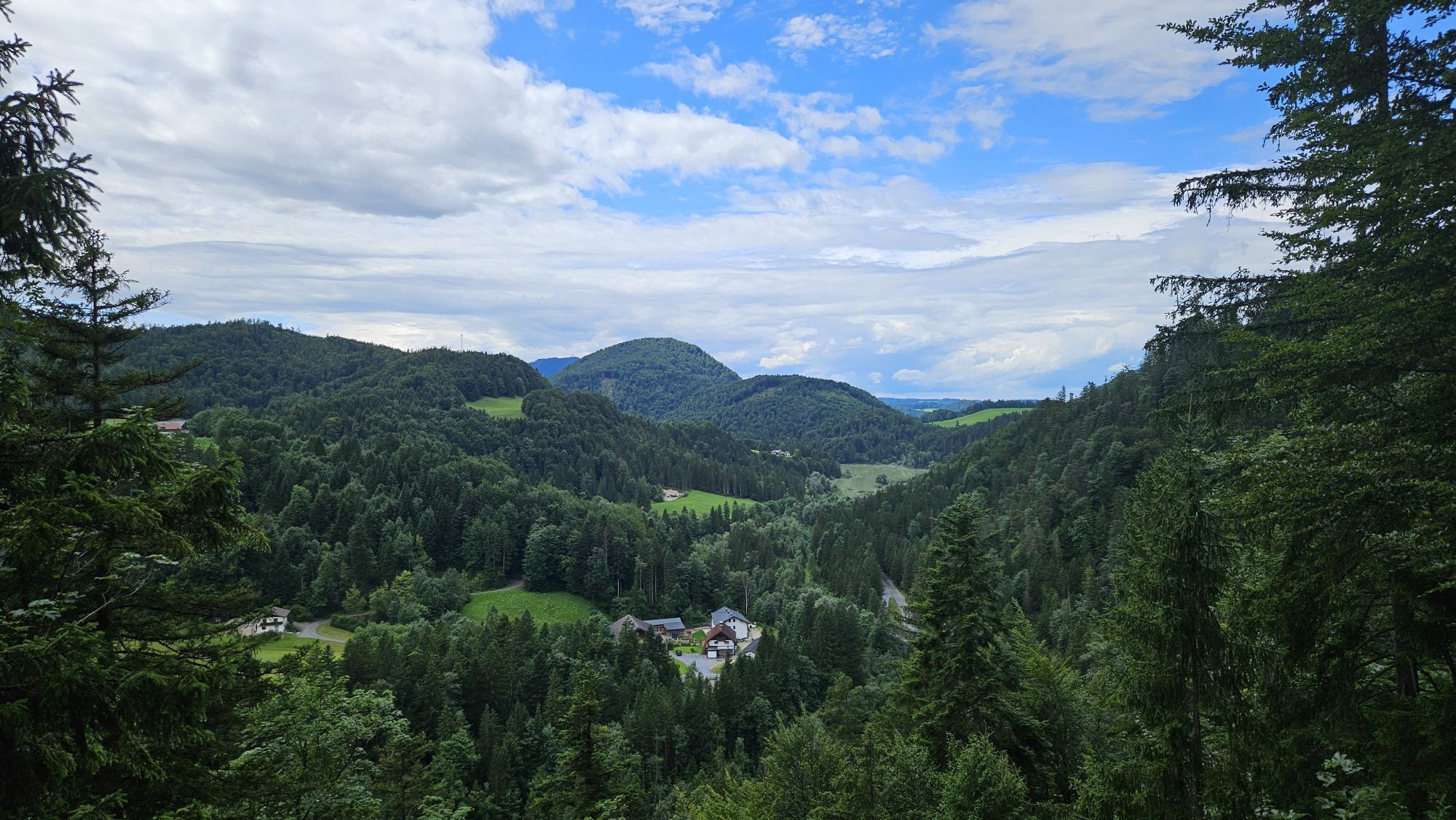
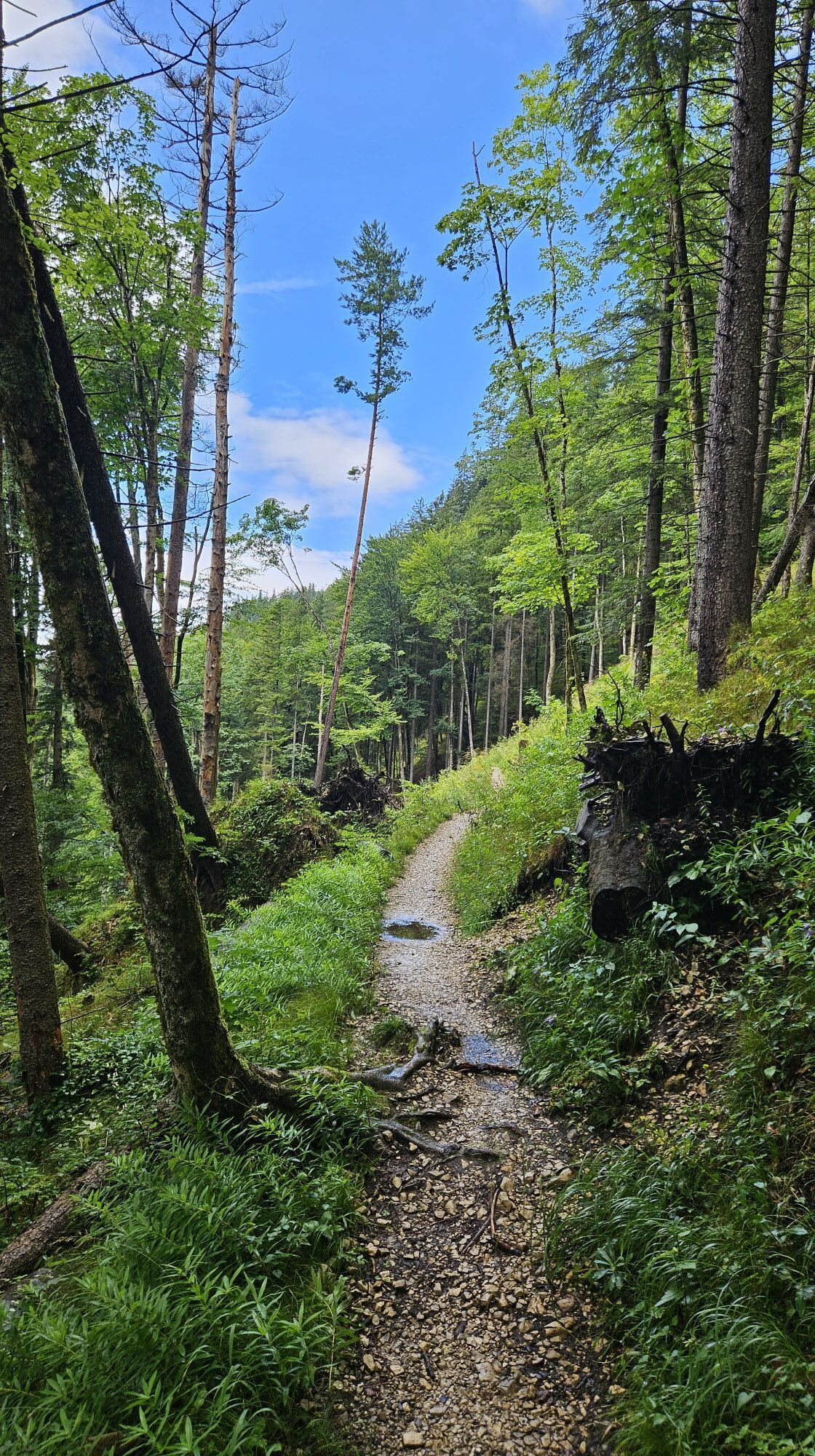
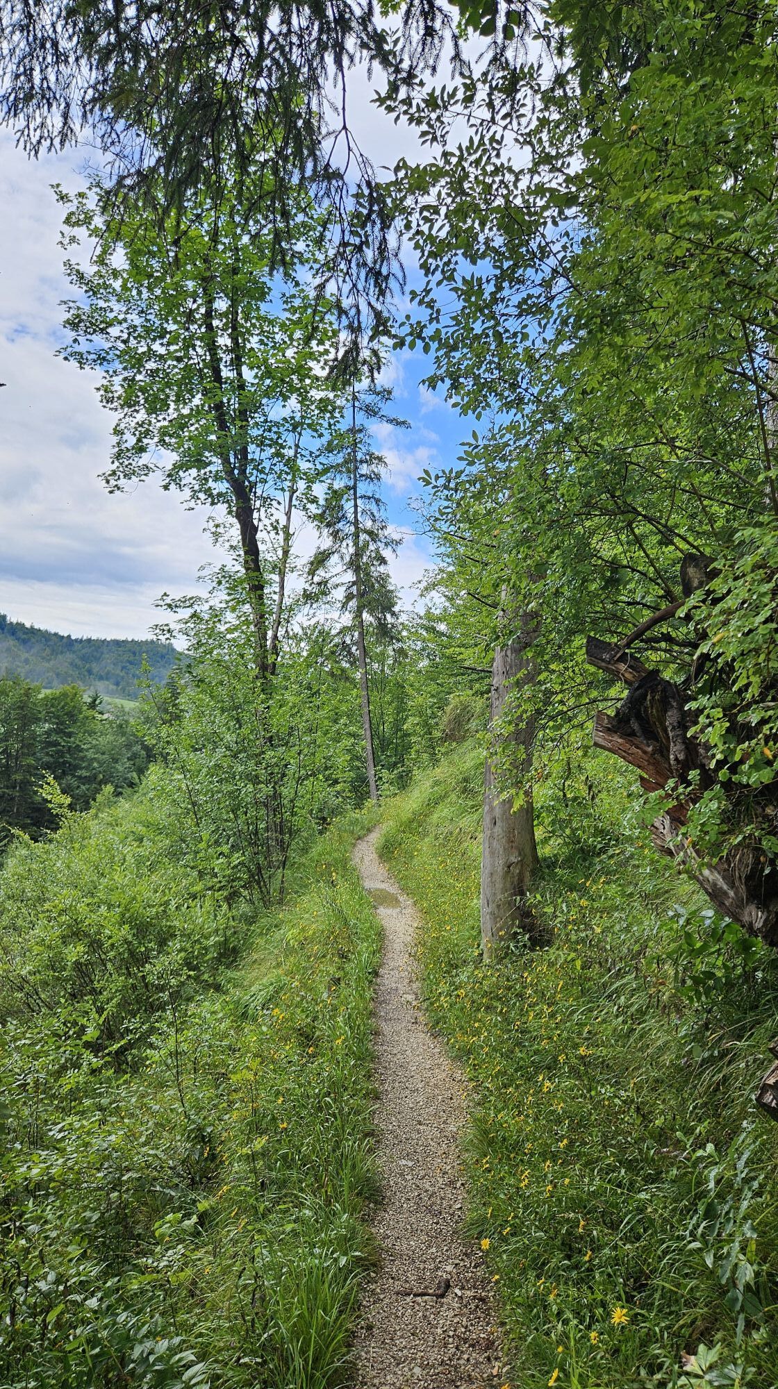
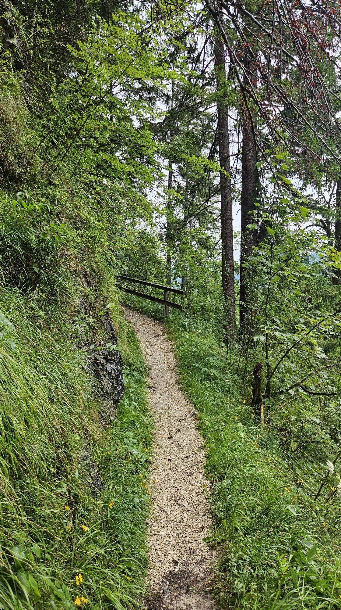
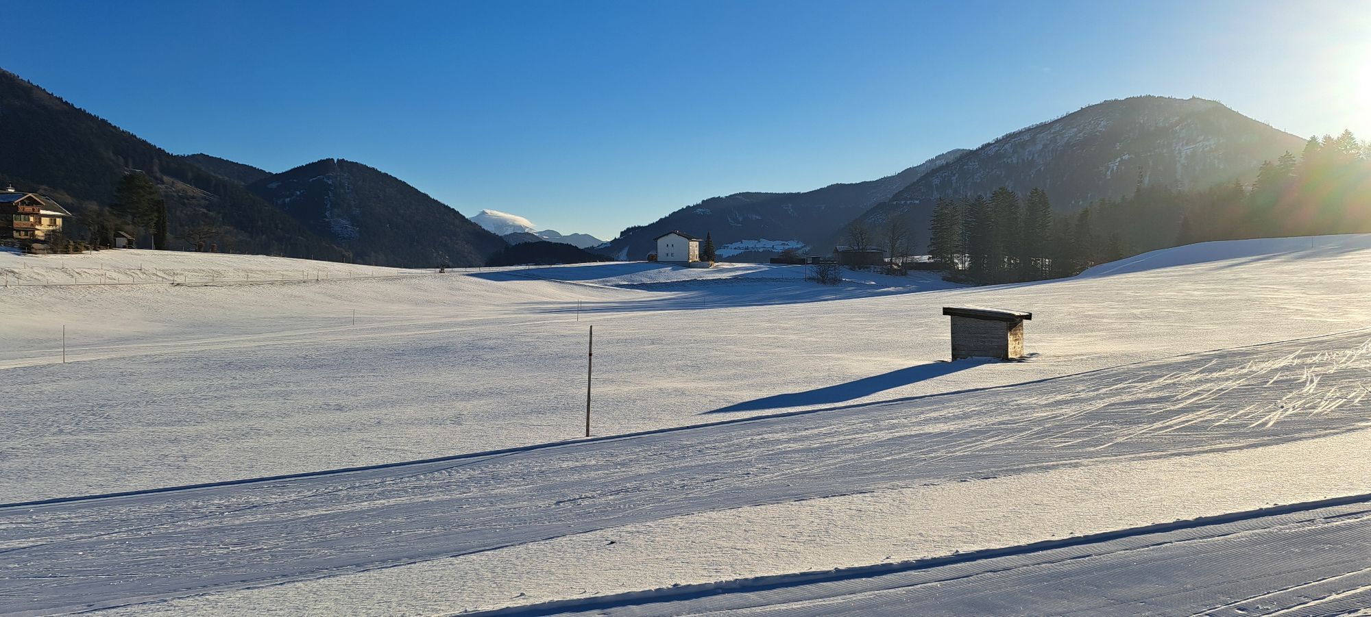
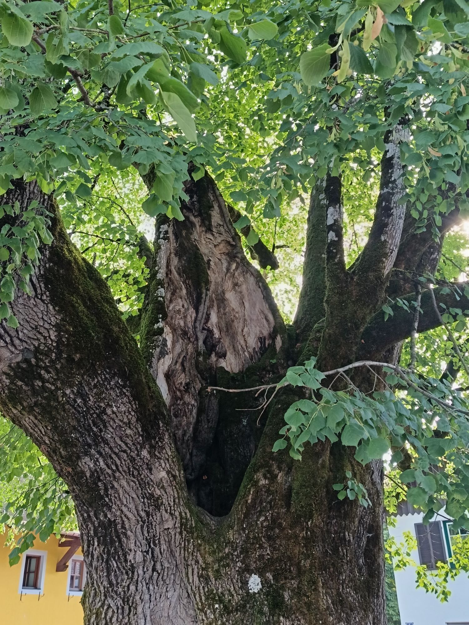
The circular trail around the Kugelberg is an experience for young and old. The path is excellent for a walk as well as for training.
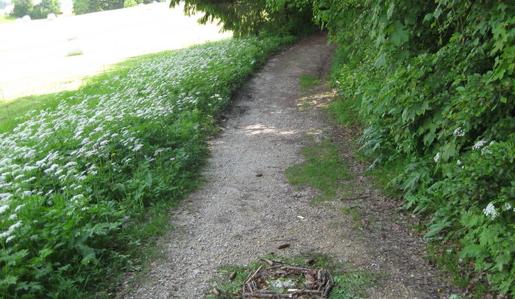

We start the circular hike in the town center of Faistenau and head along Bramsaustraße towards the former Bramsau Bräu. Between the main and the adjacent building, an asphalt road leads about 50 m uphill to the edge of the forest and the actual circular hiking trail. We pass the wayside shrine on the right edge of the path and, after a short ascent, walk counterclockwise 200 m downhill on the path. At the fork, we keep left and cross a cleared slope. After about 500 m, the path leads us back into the forest, going slightly uphill and downhill repeatedly for the next 1,500 m. To the right below us, we see the Almbach, the rock pool, and the municipality's sewage treatment plant until we reach the turning to Hintersee. This is also the lowest point of our hike. The path now turns into a paved forest road and climbs over the next 1,000 m to the highest point of the circular trail. This is located after a sharp left curve. After another 300 m of gently downhill path, we reach the fitness course. At the same height, to the left of the path, there is an old hut as it was used by the lumberjacks at the time. From now on, we can already see our destination. Along the meadow, we repeatedly see floodlight masts that illuminate the night cross-country ski trail in winter.
Da
Sturdy footwear, no other special equipment required.
Path condition
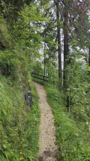
After about 500 meters, the path changes for approx. 1,500 meters into a narrow trail that slopes very steeply down to the Almbach in places. Here, only single file walking is possible.
Information from the Faistenau Riding and Horse Breeding Association
From the lowest point of the circular hike (turnoff to Hintersee), the path is also used by riders. A major concern of the Faistenau Riding Association is harmonious coexistence between riders and hikers. Mutual respectful behavior is especially important. Therefore, please observe the leash obligation, keep a safe distance from the horses, and avoid loud noises as well as sudden or rapid movements.
Leash obligation for dogs
Since 2009, the dog leash and dog waste disposal ordinance has been in effect throughout the municipality of Faistenau. This also applies to all hiking trails.
Arrival via A1 West motorway – exit Thalgau
Follow the federal road (B 158) in Hof near Salzburg to the Baderluck roundabout. At the 1st exit, turn into Hinterseestraße, and after a few kilometers, you will reach your holiday destination Faistenau.
Sufficient parking spaces are available at the starting point.
By bus
From Salzburg main station, there are excellent Postbus connections to the Fuschlsee region or to Faistenau. All bus connections can be found online at www.svv-info.at.
By train
Information about train connections is available at www.oebb.at or www.bahn.de
By plane
Salzburg Airport W.A. Mozart is located very close to the city of Salzburg. Bus lines 2 or 27 take you to the main station, where you can change to the Postbus.
free parking in the village center opposite the new secondary school
directly at Bramsau Bräu (stop for a meal after the hike is obligatory)
T1


Spletne kamere s turneje
Pridobite vpogled
Vedno v živo na mestu z več kot 9.500 spletnimi kamerami. bergfex Kot uporabnik Pro si lahko zdaj ogledate ustrezne spletne kamere za številne izlete v aplikaciji izleti iz. Tako si lahko neposredno ogledate trenutne razmere.
Dejavnosti na poti
-

Faistenau, Salzburg/Österreich
18.07.2026 – Pohodništvo -
Faistenau, Salzburg/Österreich
09.07.2026 – Pohodništvo -
Faistenau, Salzburg/Österreich
11.06.2026 – Pohodništvo -
Faistenau, Salzburg/Österreich
09.06.2026 – Pohodništvo -
Faistenau, Salzburg/Österreich
08.06.2026 – Pohodništvo -
Faistenau, Salzburg/Österreich
27.05.2026 – Tek -
Faistenau, Salzburg/Österreich
13.05.2026 – Pohodništvo -
Faistenau, Salzburg/Österreich
15.04.2026 – Tek -
Faistenau, Salzburg/Österreich
09.04.2026 – Tek -
Faistenau, Salzburg/Österreich
07.04.2026 – Tek -
Faistenau, Salzburg/Österreich
04.03.2026 – Gorski pohodništvo -
Faistenau, Salzburg/Österreich
14.01.2026 – Pohodništvo -
Faistenau, Salzburg/Österreich
10.01.2026 – Pohodništvo -

Faistenau, Salzburg/Österreich
11.08.2025 – Pohodništvo -
Faistenau, Salzburg/Österreich
08.08.2025 – Pohodništvo -

Kugelberg Rundwanderung / Faistenau
31.07.2025 – Pohodništvo -
Faistenau Gehen
27.02.2021 – Sprehod -
Faistenau Gehen
04.01.2021 – Sprehod
Priljubljeni izleti v okolici
-
4.0
Bärenweg am Lidaun
svetlobaPohodništvo 9.05 km -
4.8
Fuschl: Ruine Wartenfels - Schober - Frauenkopf
srednjaPohodništvo 7.62 km -
4.4
Fuschlseewanderung
svetlobaPohodništvo 11 km -
4.2
Pillstein Panorama Rundweg
svetlobaPohodništvo 3.40 km -
4.7
Pleasure hike over the Falkenstein
srednjaPohodništvo 9.81 km -
4.8
Great and Small Barmstein, the landmarks of Hallein
težkoPohodništvo 6.58 km -
4.6
The Plombergstein: Adventure and summit panorama
svetlobaPohodništvo 4.12 km -
4.4
From Koppl to the Gaisberg summit
srednjaPohodništvo 9.86 km -
4.4
Hike to the Kleiner Barmstein via the Thürndl ruin
srednjaPohodništvo 4.20 km -
4.8
Salzkammergut: Die Drachenwand
težkoVia ferrata 4.32 km
Pohodništvo in sledenje


Ne zamudite ponudb in navdiha za naslednje počitnice
Vaš e-poštni naslov je bil dodan na poštni seznam.





