Navigacija po spletni strani
Pridobite to turo v svoj mobilni telefon
Zemljevid
13 Summits Sky Marathon
težko
Trailrunning
47.20 km
Skenirajte kodo QR in začnite navigacijo v aplikaciji bergfex.
QR Code
Pohodništvo in sledenje

13 Summits Sky Marathon
Razdalja
47.2 km
Trajanje
10:00 h
Ascent
3,173 hm
Morska gladina
1,006 - 2,254 m
Prenos skladbe
Zemljevid
13 Summits Sky Marathon
težko
Trailrunning
47.20 km

Fotografije naših uporabnikov

The 13 Summits Sky Marathon in Saalbach is a high-alpine adventure unlike any other. The route runs entirely along the mountain ridge, encircling the stunning Glemmtal Valley, and offering a panorama that...
Opis
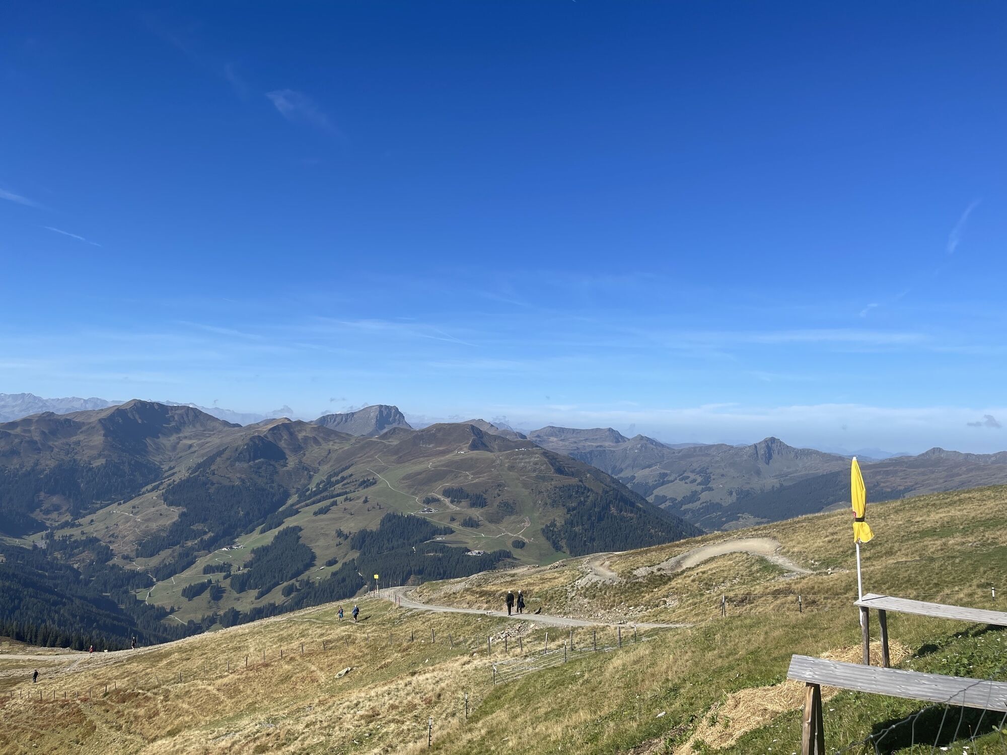
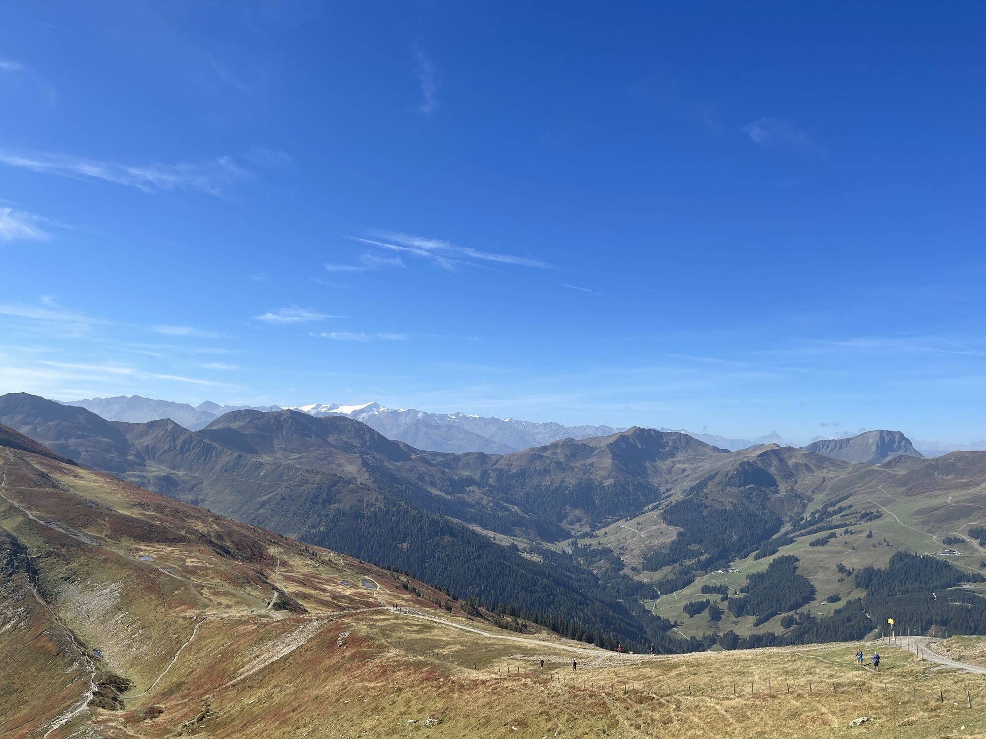
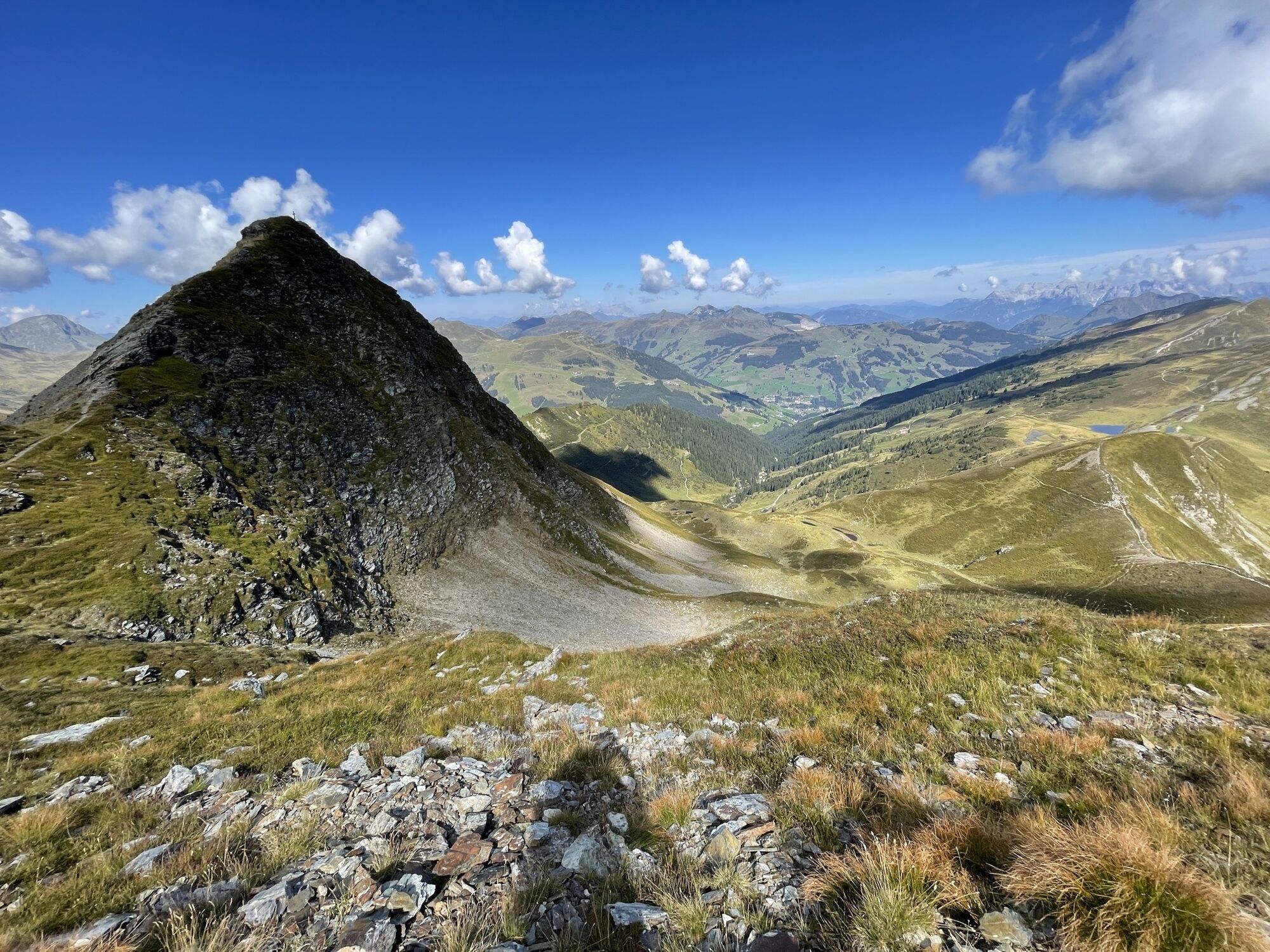
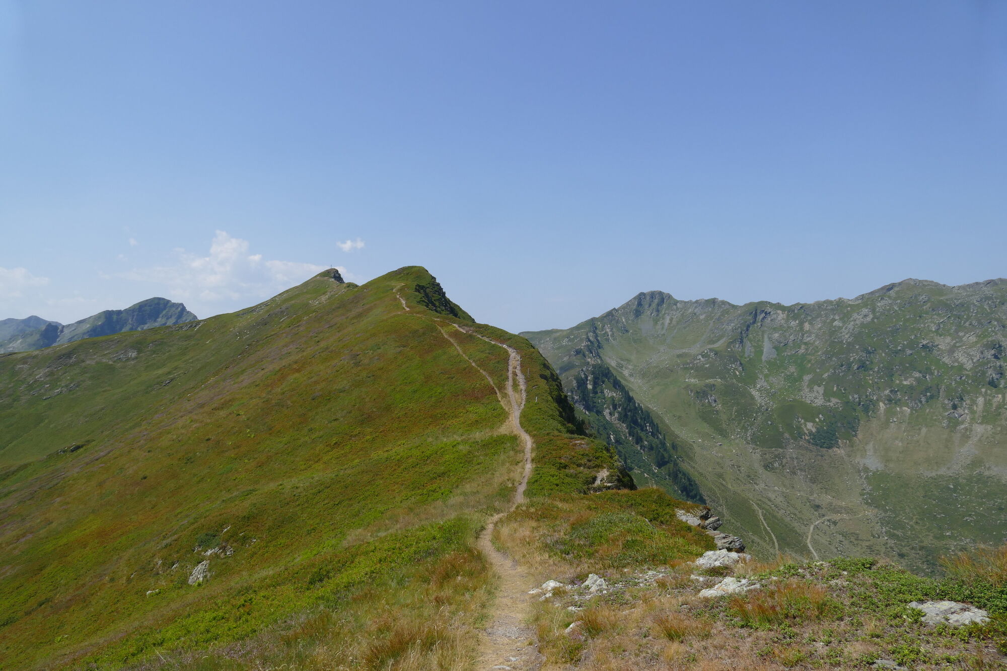
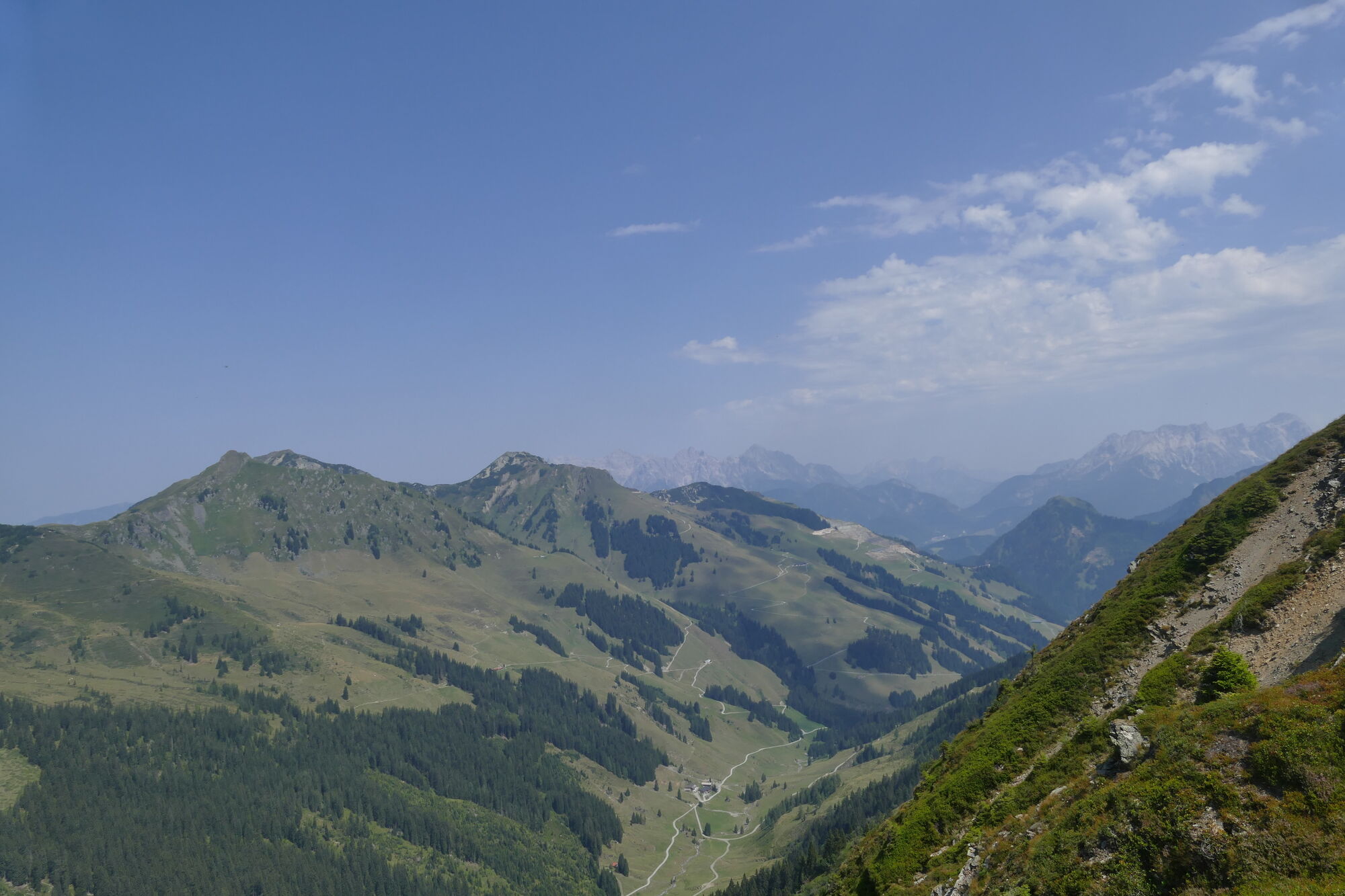
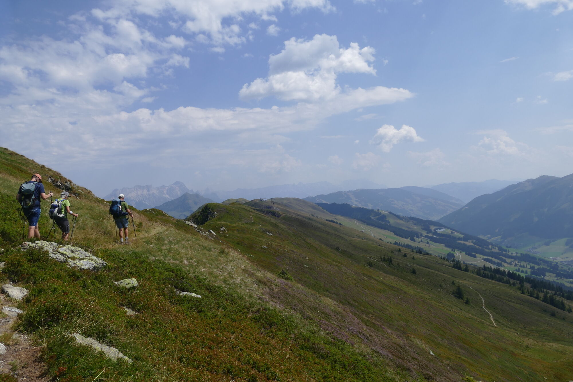
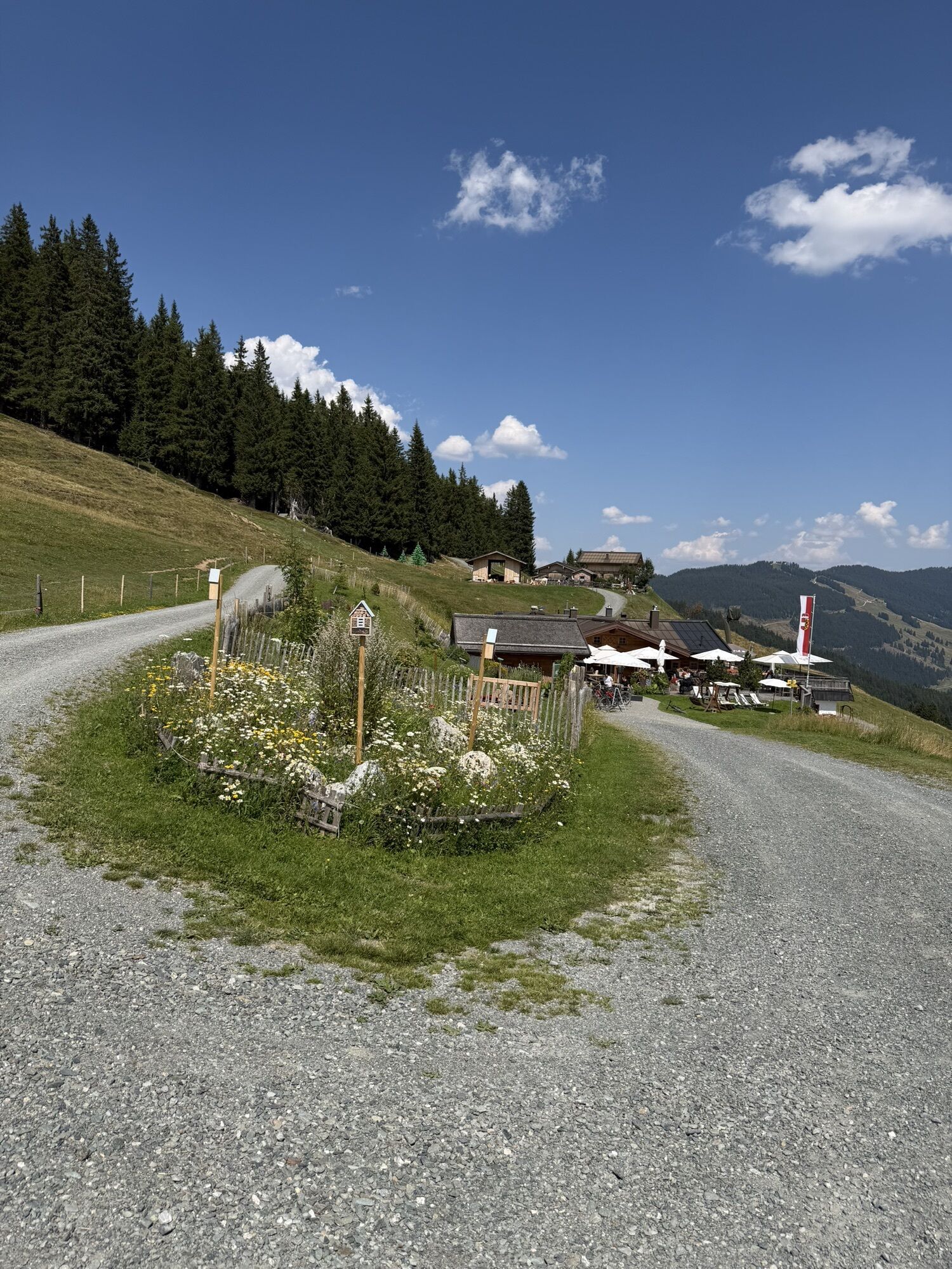
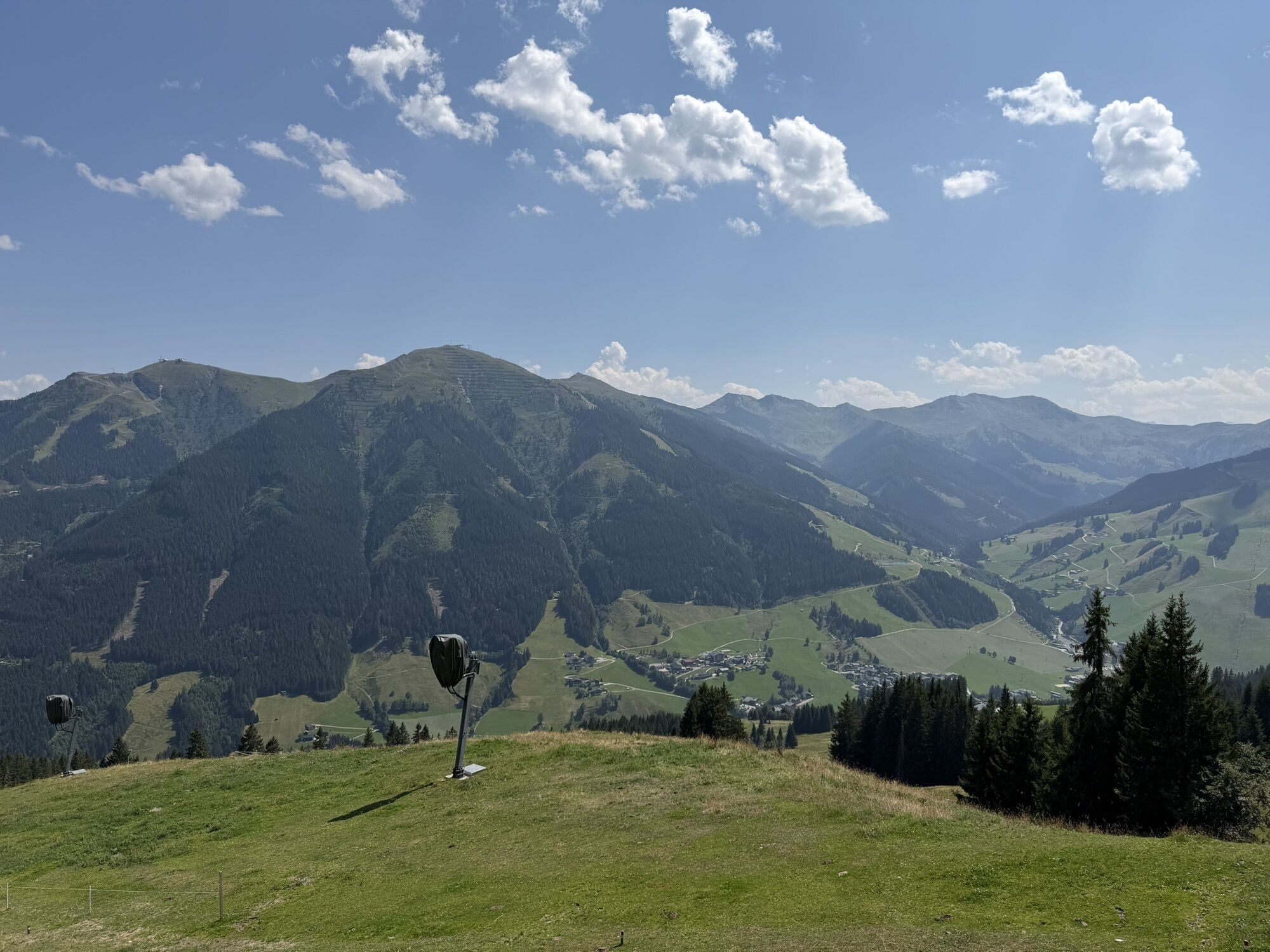
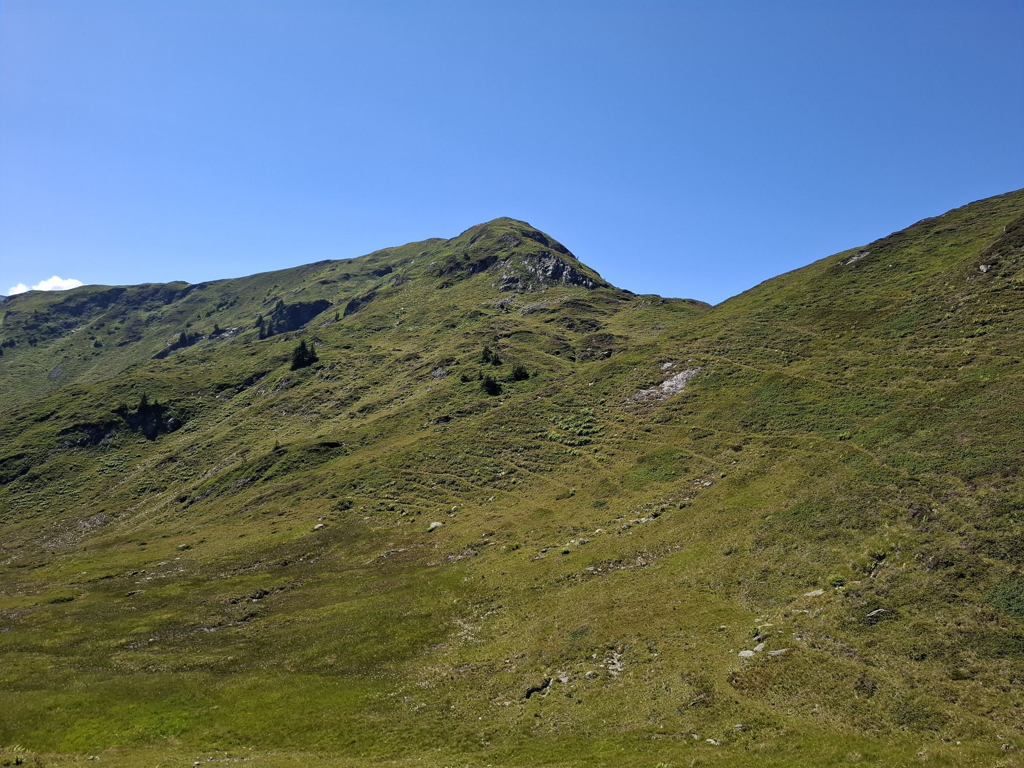
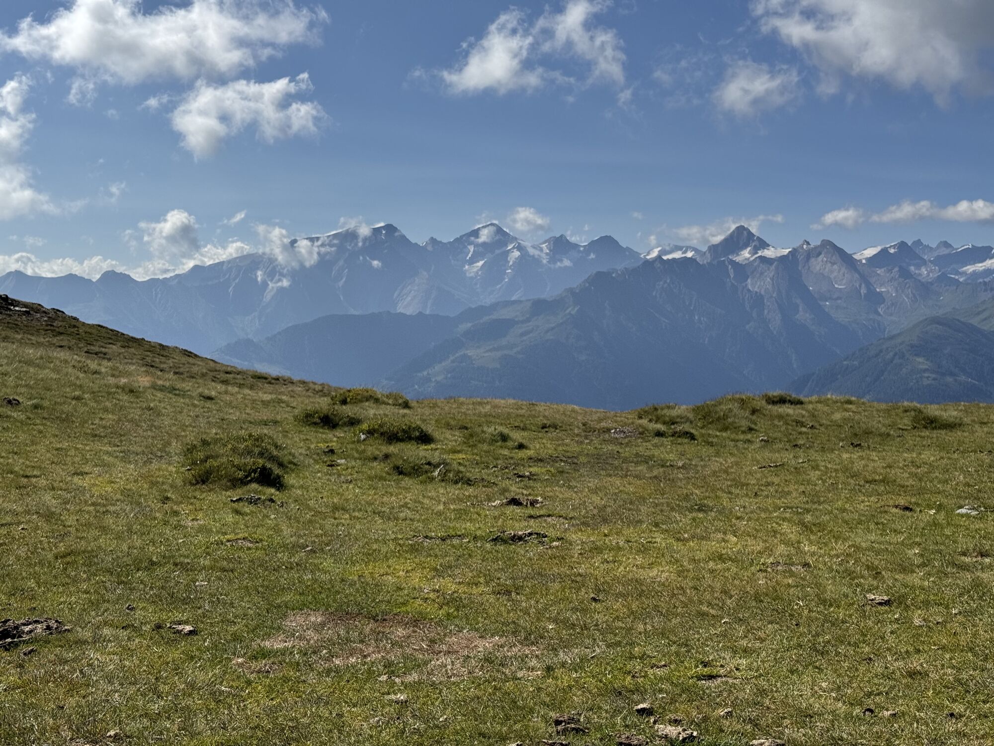
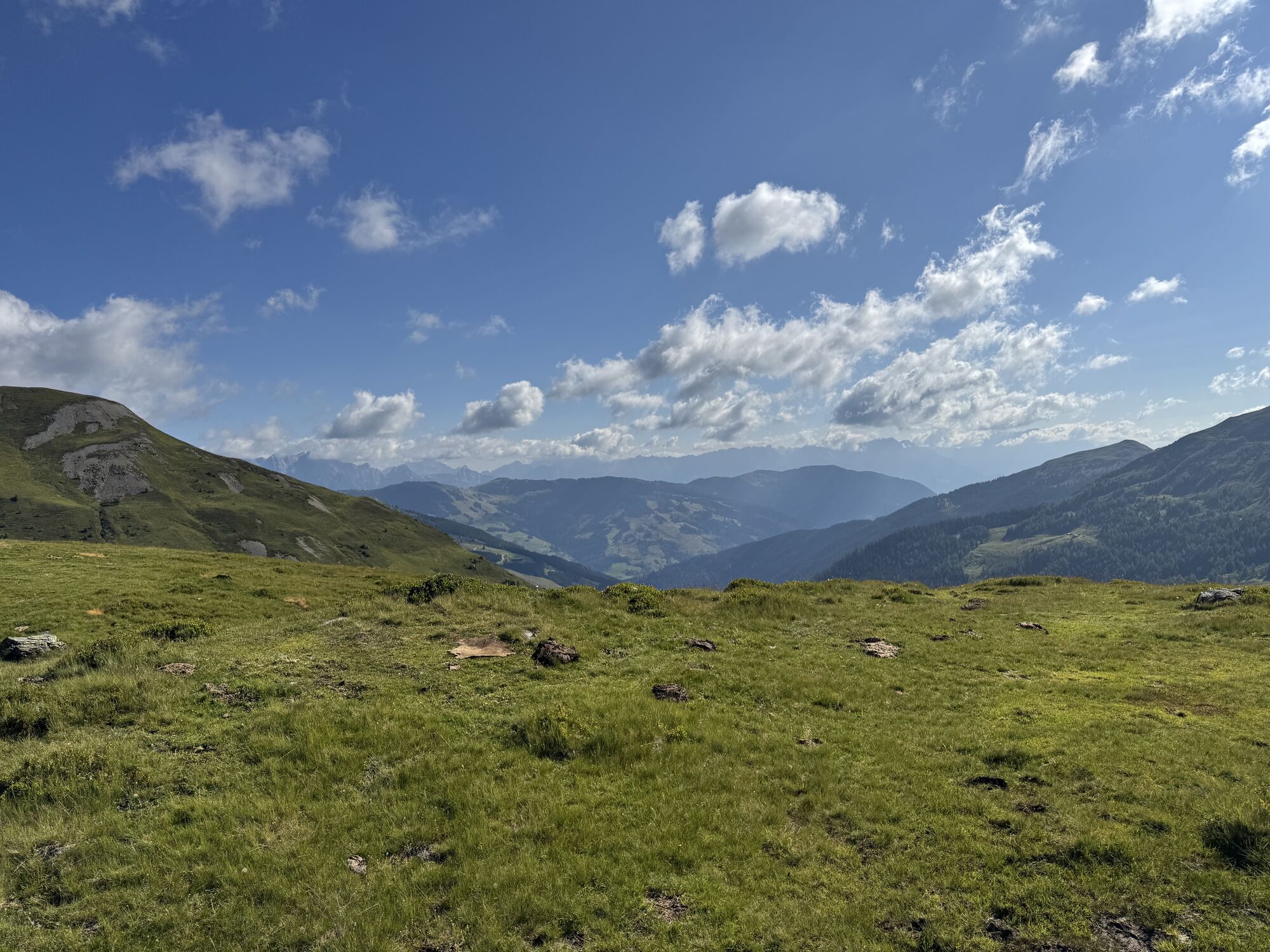
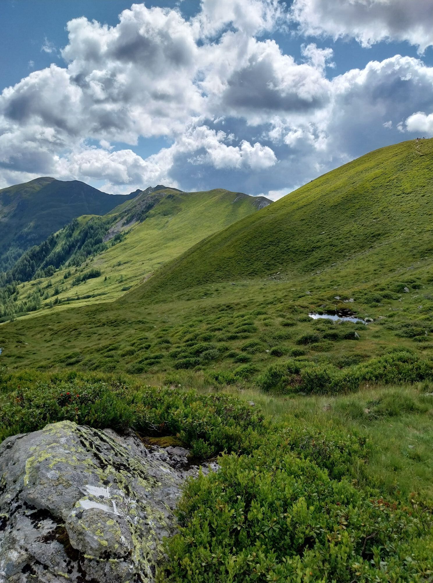
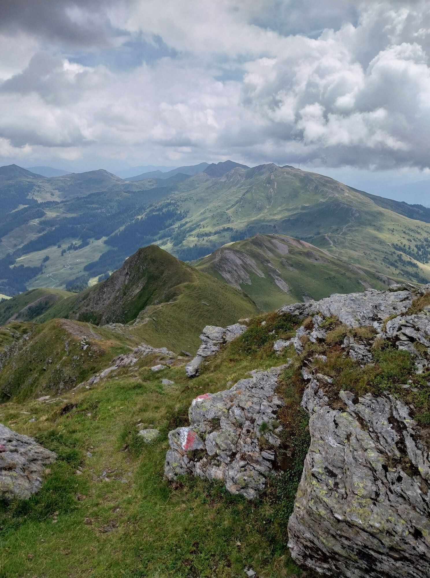
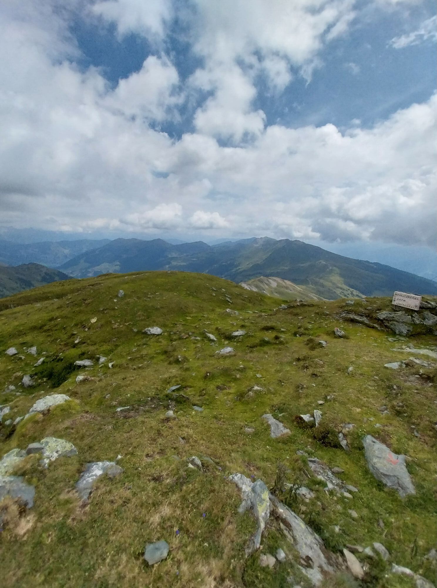
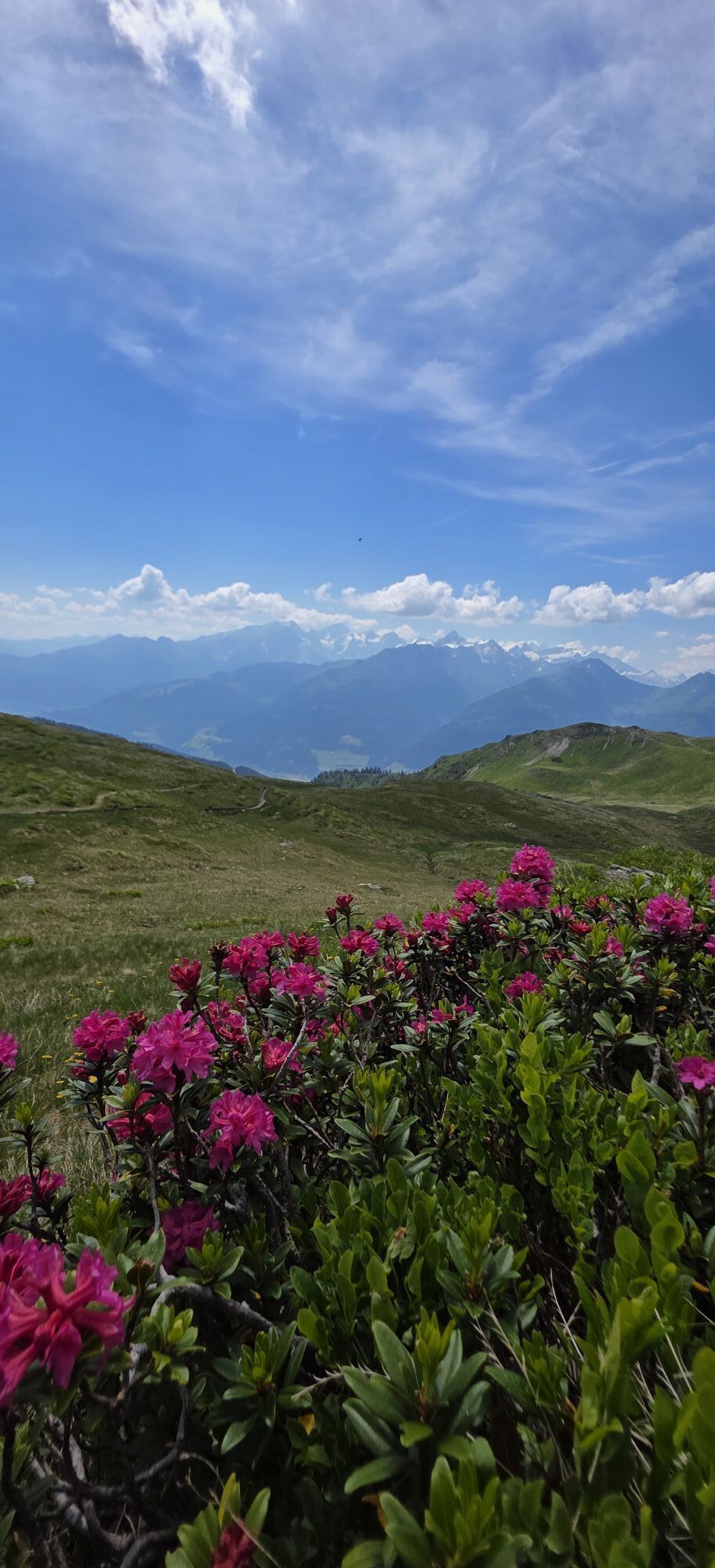
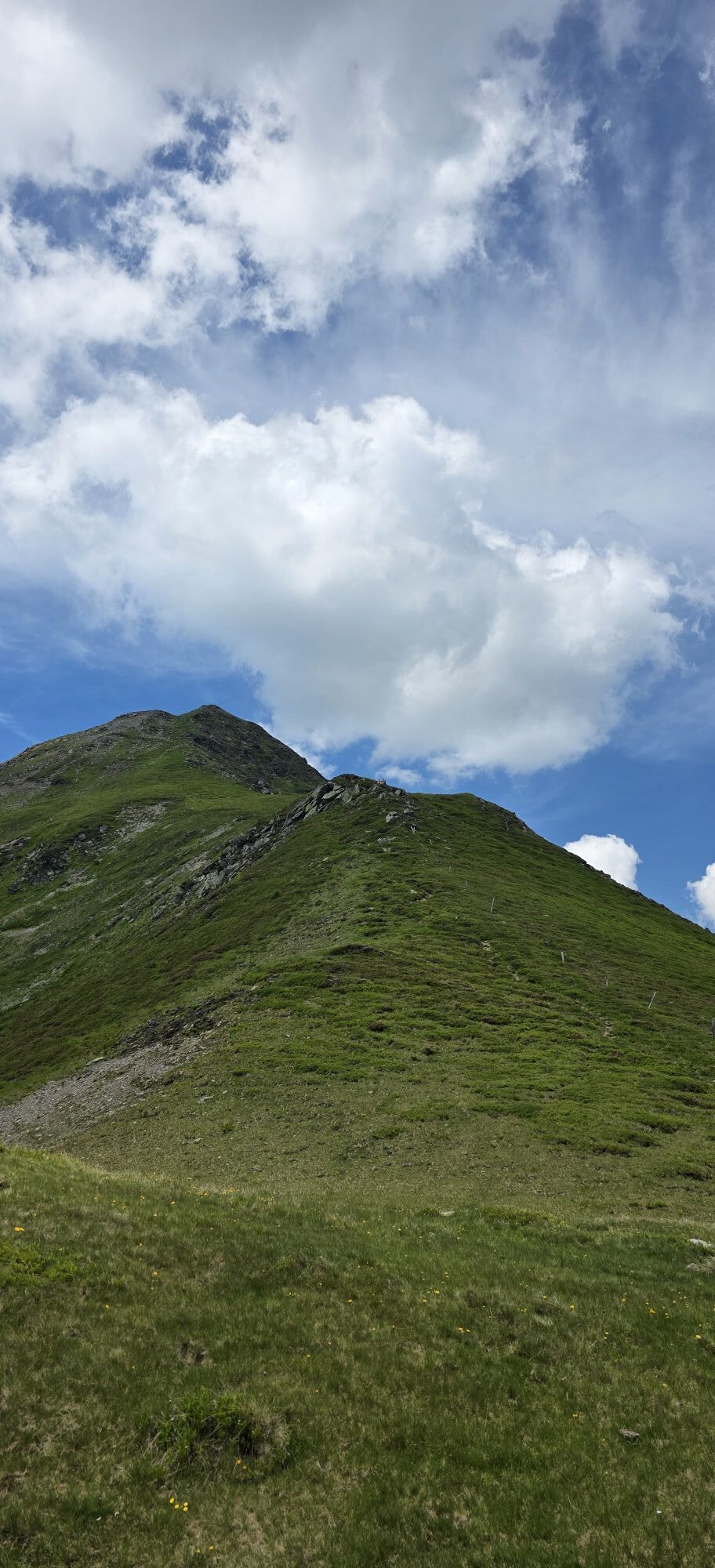
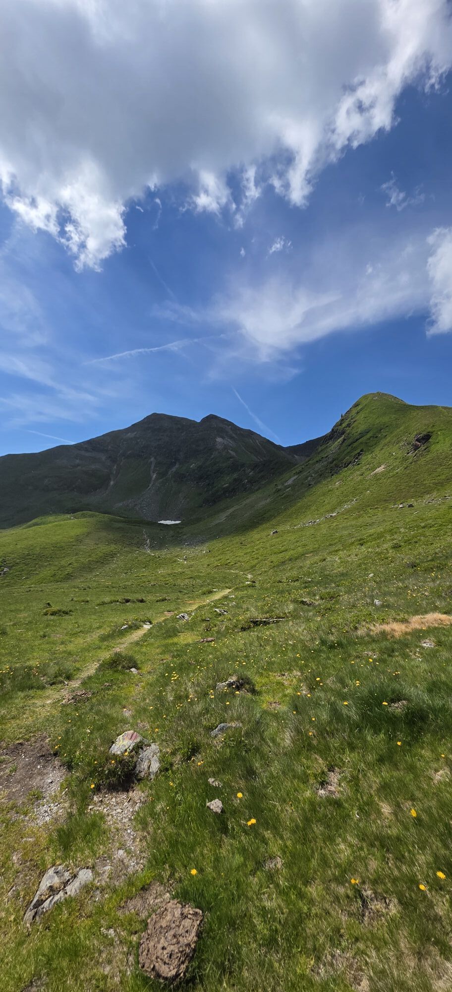
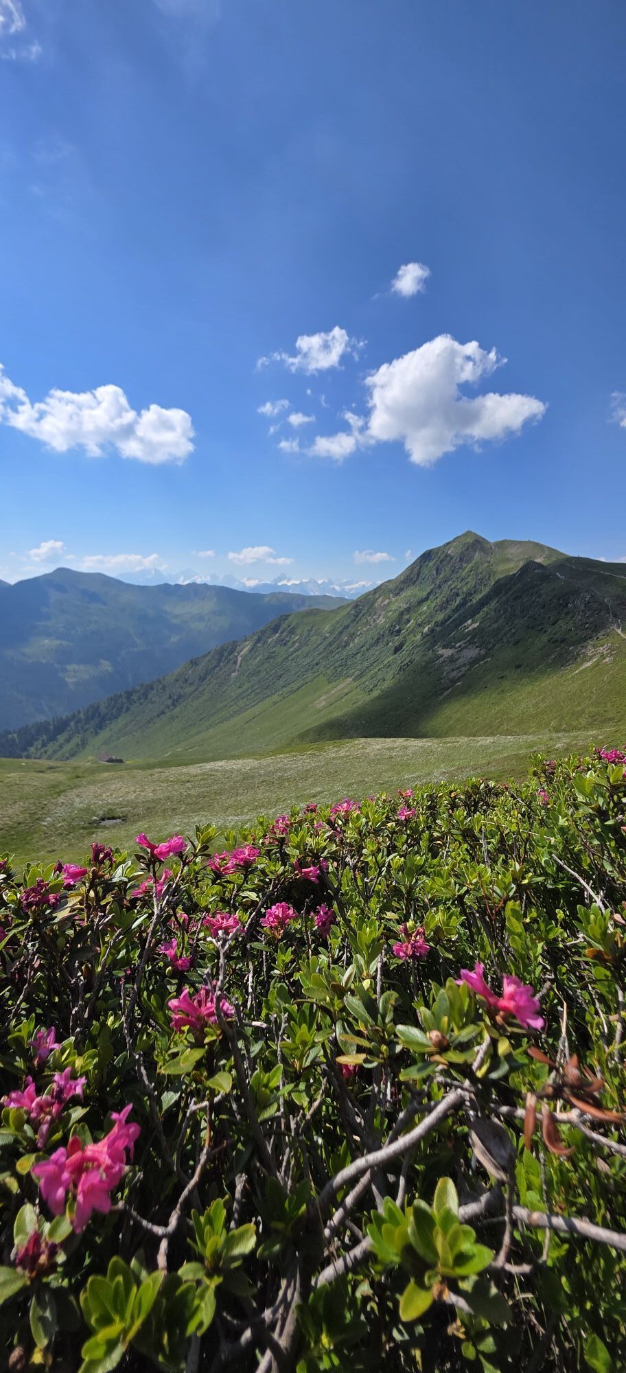
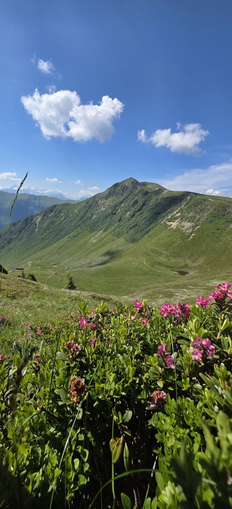
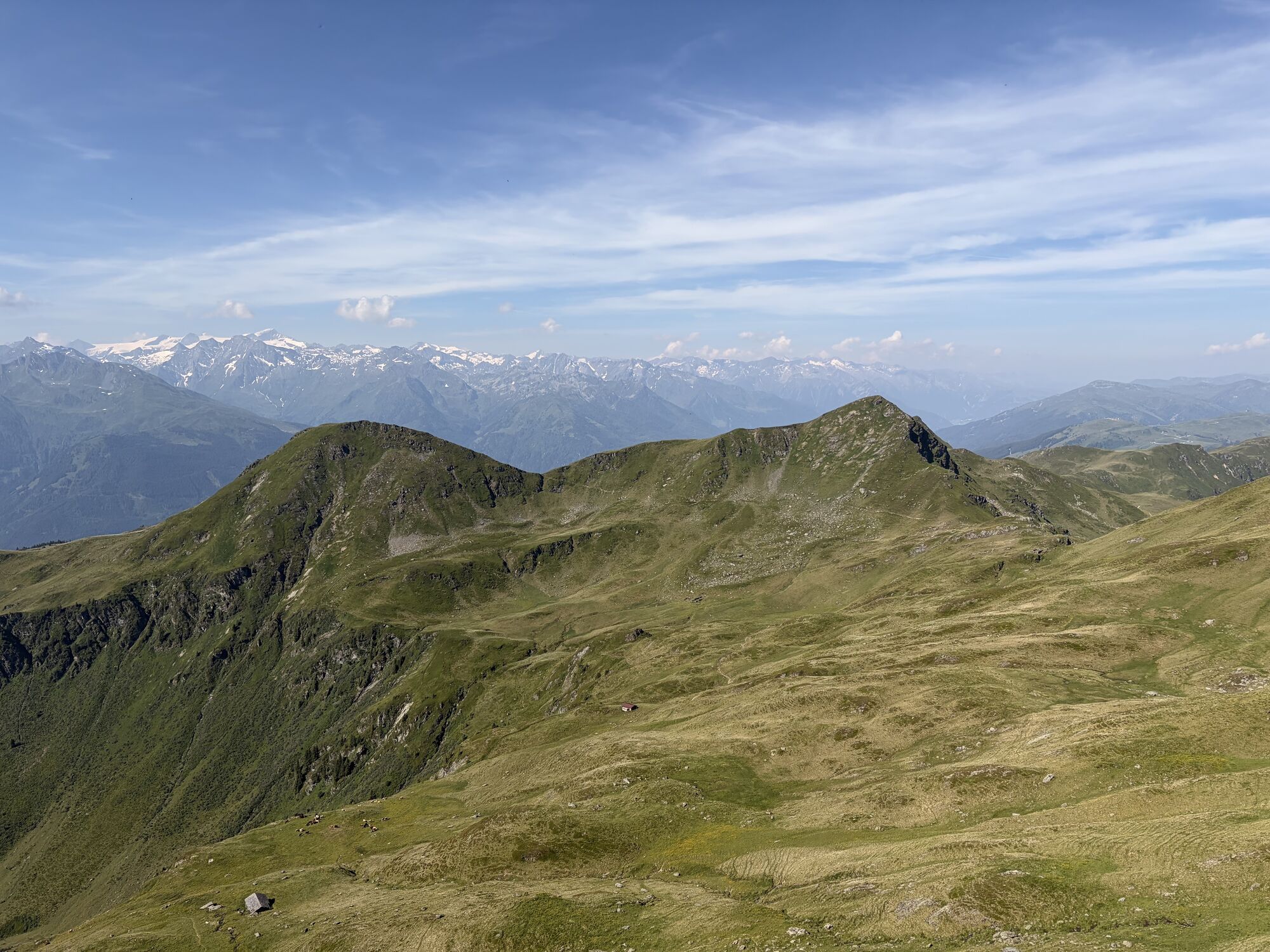
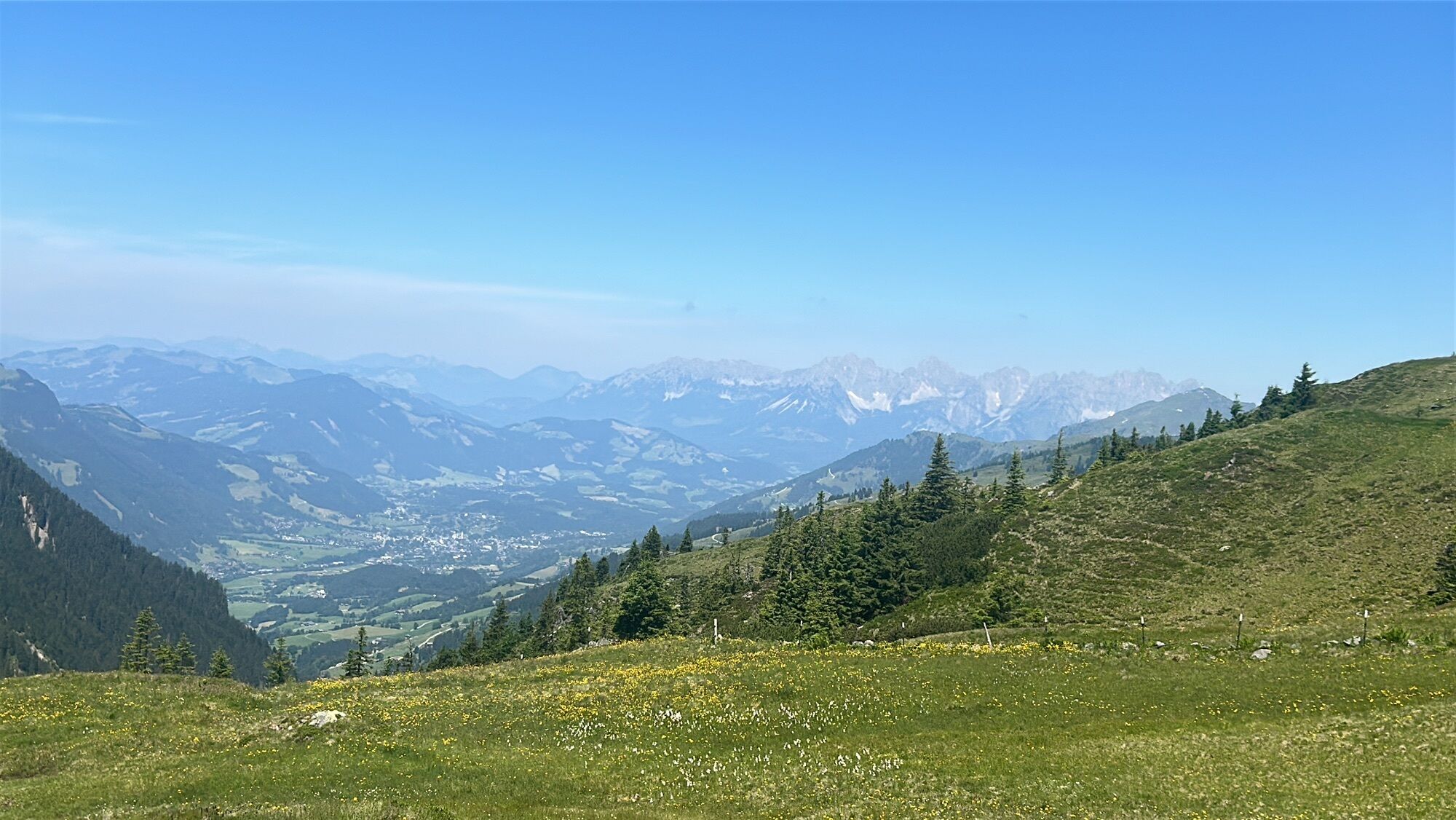
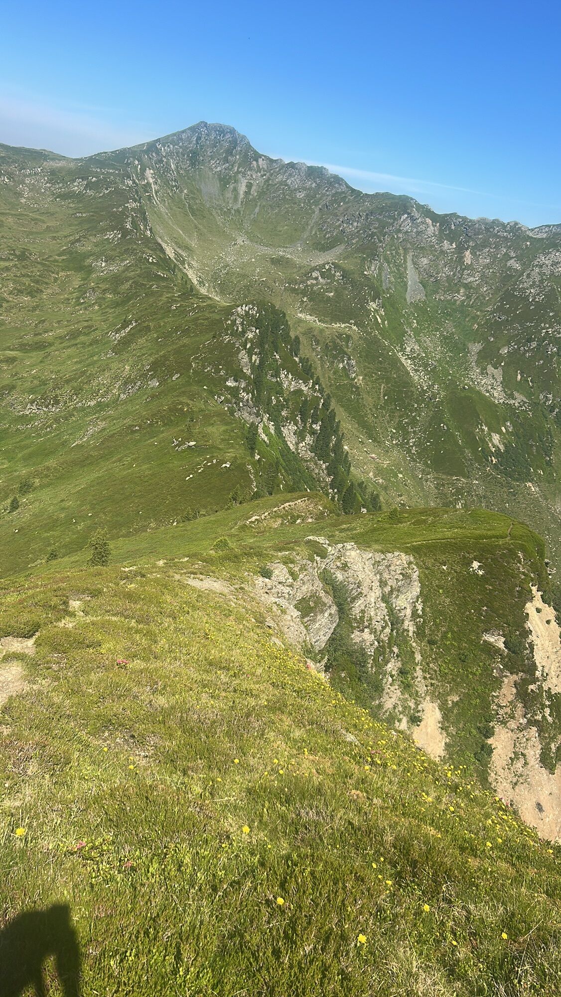
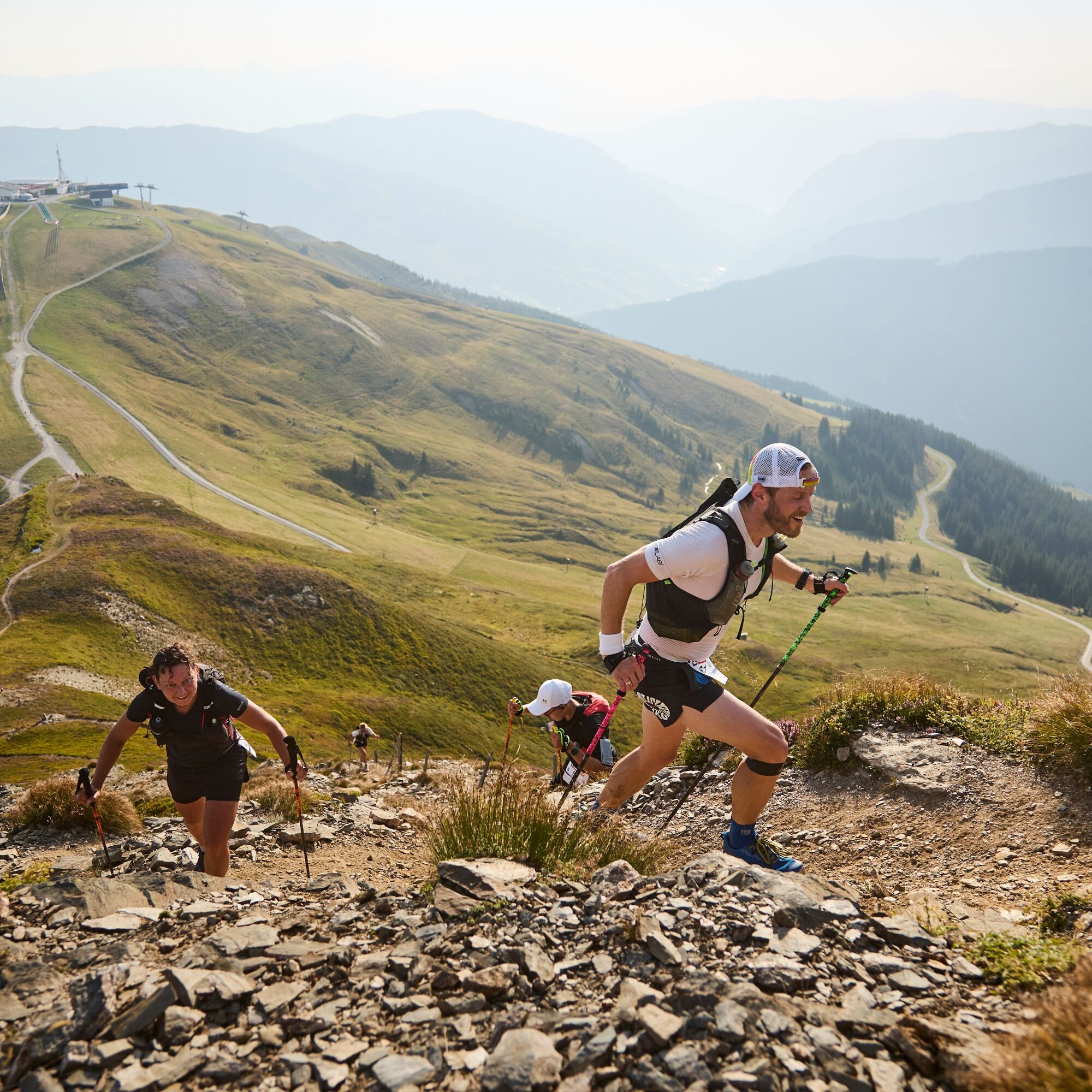
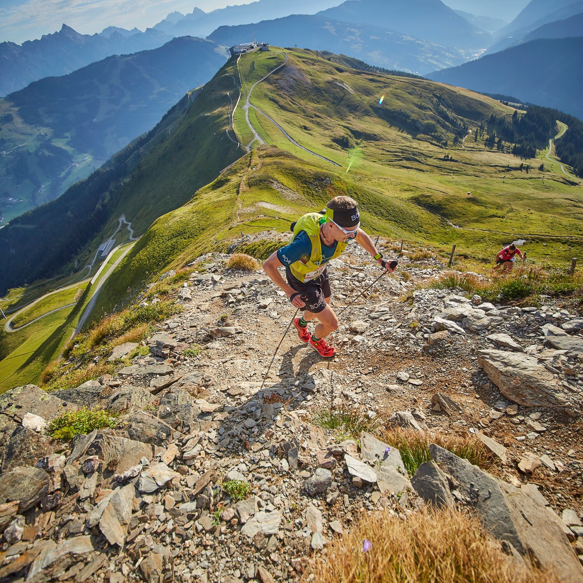
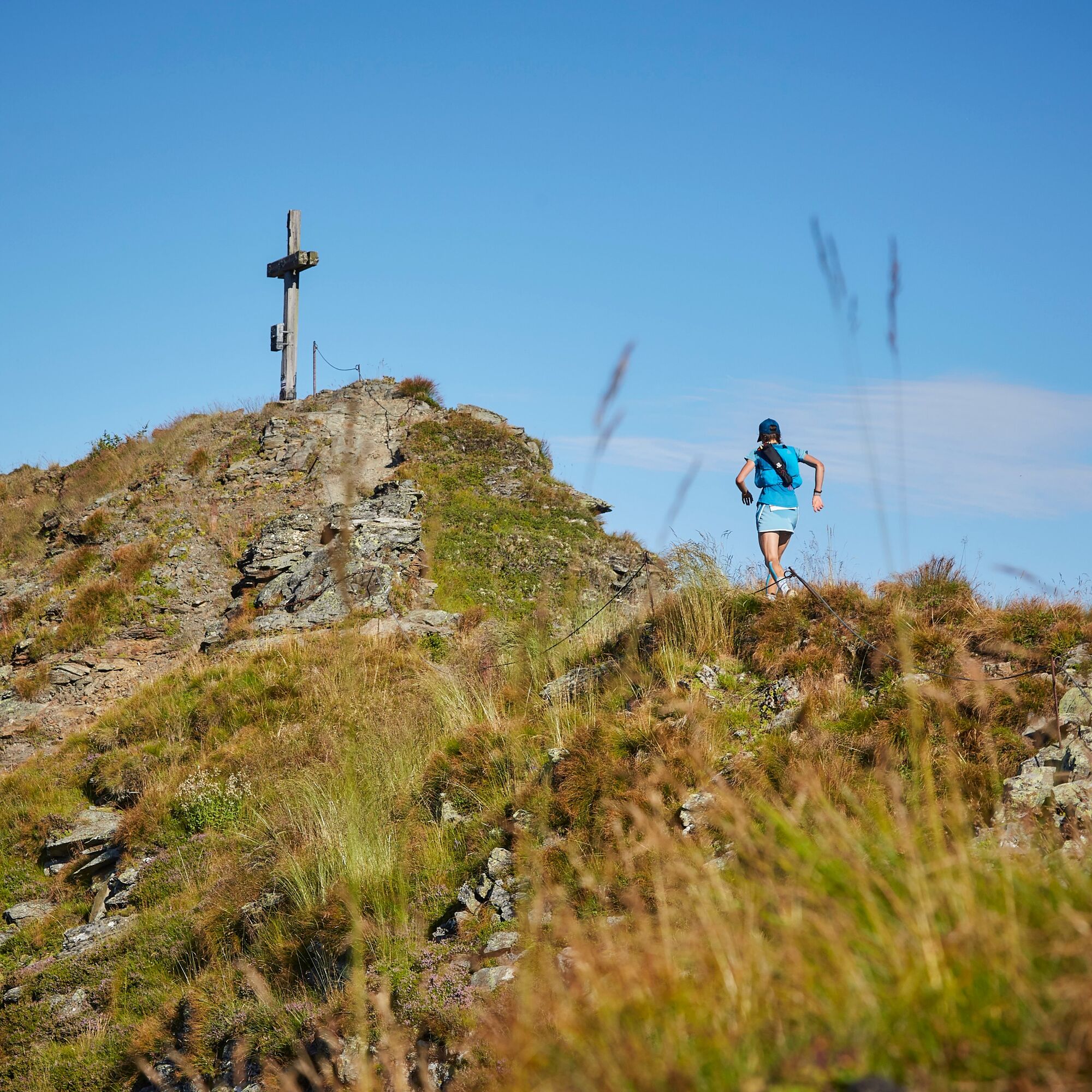
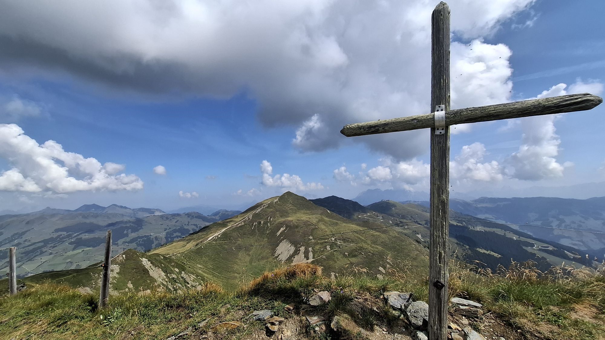
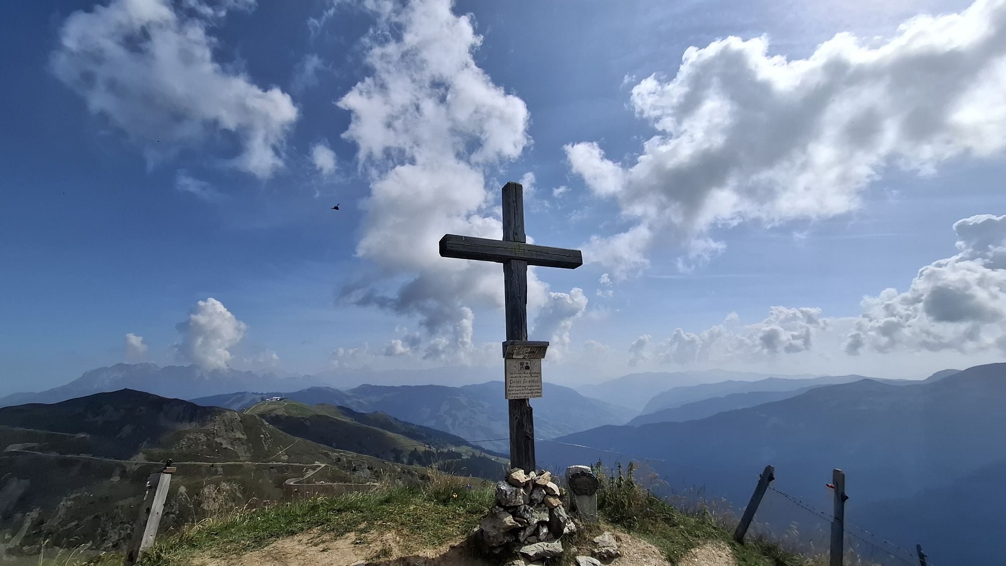
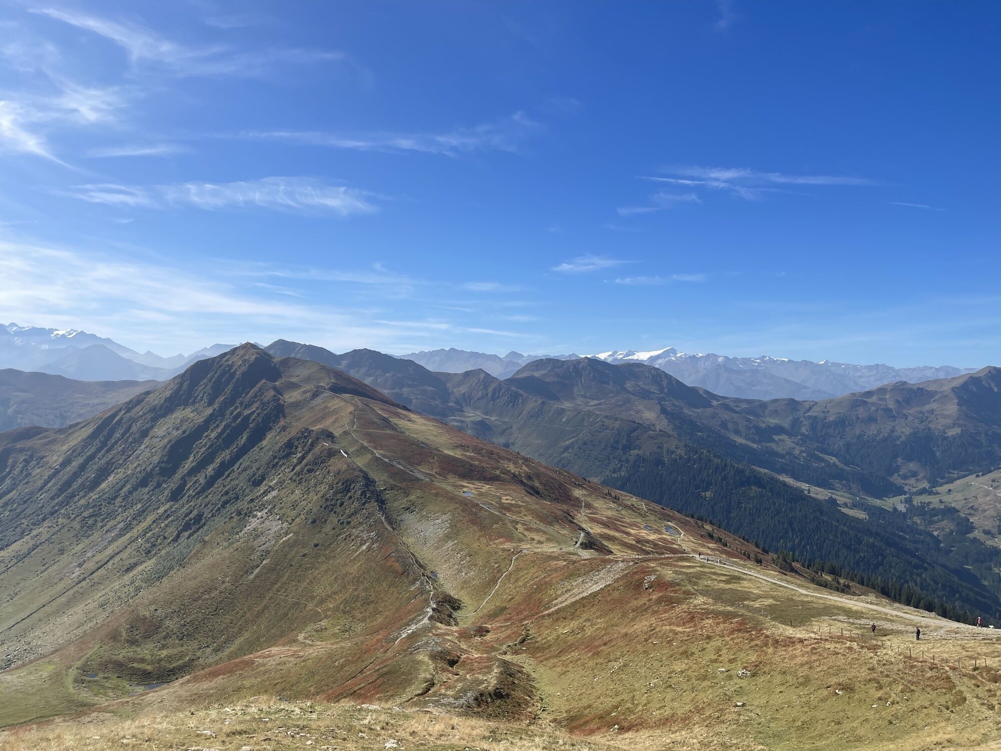
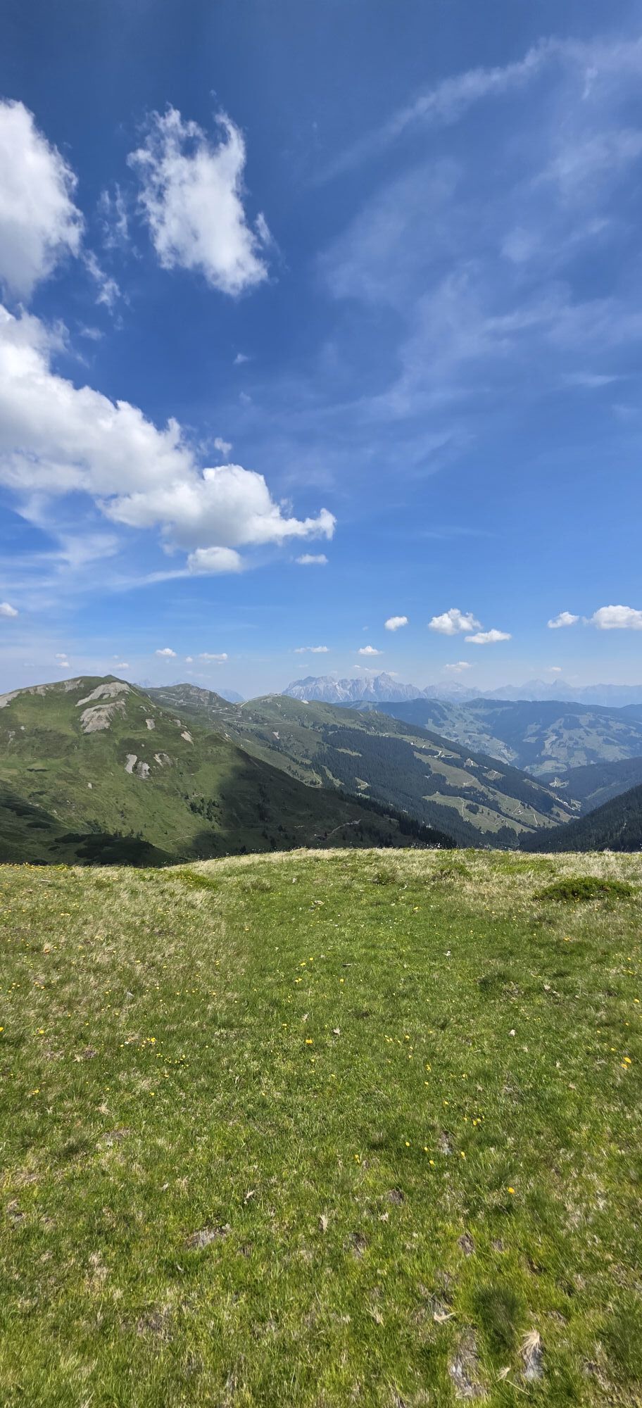
The 13 Summits Sky Marathon in Saalbach is a high-alpine adventure unlike any other. The route runs entirely along the mountain ridge, encircling the stunning Glemmtal Valley, and offering a panorama that takes your breath away. At over 2,000 meters above sea level, runners are rewarded with spectacular views of the mighty Hohe Tauern to the south and the rugged Leoganger Steinberge to the north – a natural masterpiece that makes this race a true must-run of the summer.
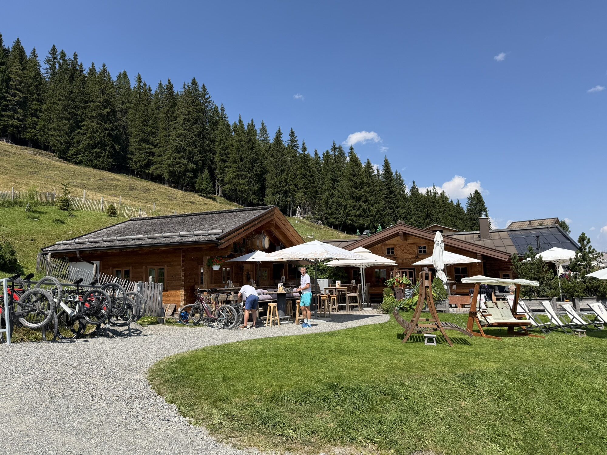
Covering 47 kilometers and nearly 3,500 meters of elevation gain, the 13 Summits Sky Marathon challenges even experienced trailrunners. Along the course, well-placed aid stations provide refreshment, while LIVE GPS tracking lets supporters follow the runners’ progress right from their smartphones.
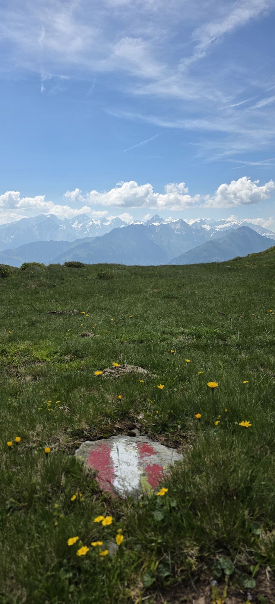
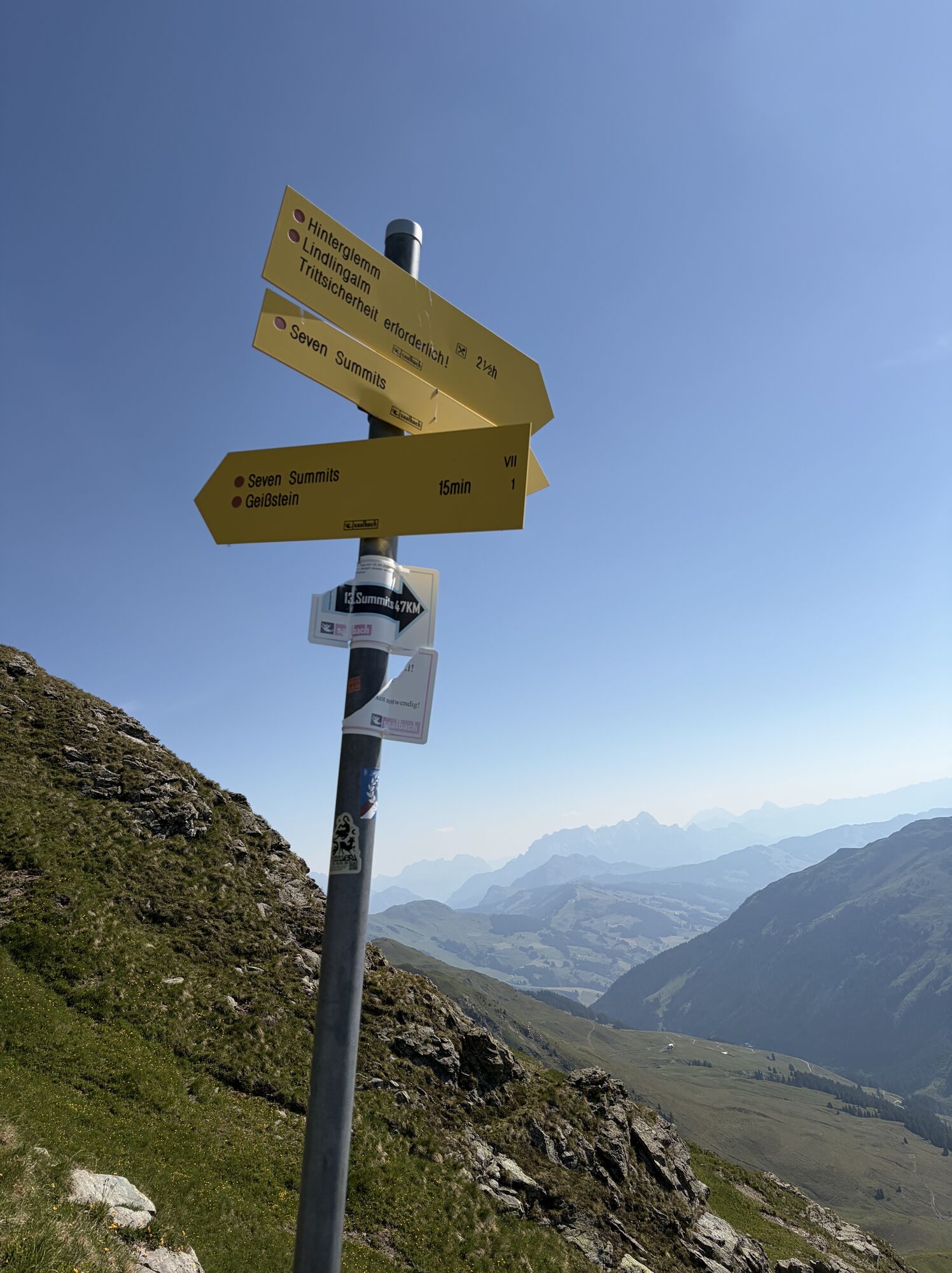
The route is clearly marked in addition to existing trail signage, though digital GPS navigation—via smartphone or watch—is strongly recommended. As a thoughtful touch, each bib number lists all 13 summits in order, serving as both orientation and backup for this exceptional trailrun in the heart of Saalbach.

Pot
Pot
Zemljevid
13 Summits Sky Marathon
težko
Trailrunning
47.20 km
Saalbach
(997 m)
Vas
0.0 km
Schattberg-Ost
(2,018 m)
Vrh
3.1 km
SkyRest
(2,013 m)
Restavracija
3.1 km
Mittelgipfel
(2,097 m)
Vrh
4.1 km
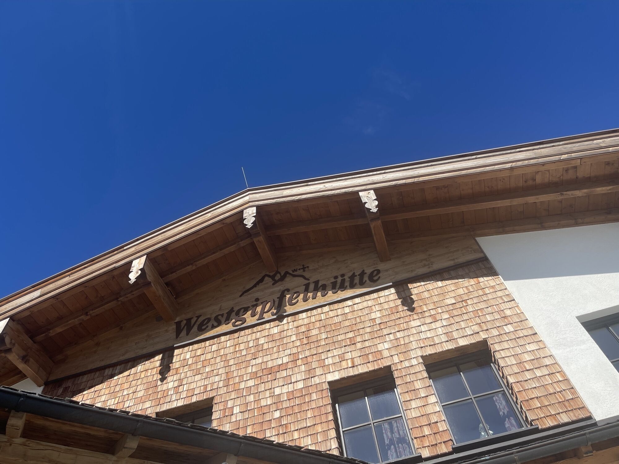
Westgipfelhütte
(2,079 m)
Zavetišče
4.6 km
Marxtensattel
(1,990 m)
Gorsko sedlo
5.0 km
Stemmerkogel
(2,123 m)
Vrh
6.0 km
Saalbachkogel
(2,092 m)
Vrh
7.4 km
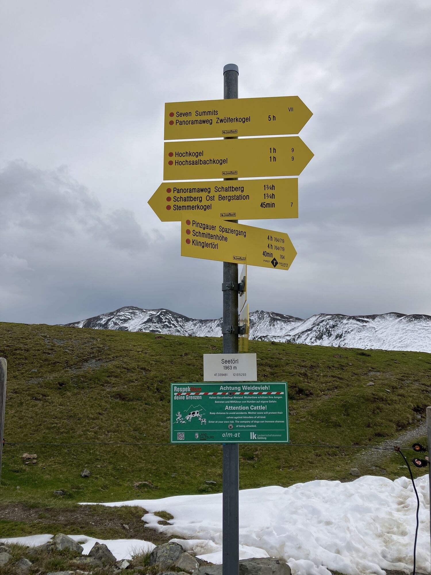
Seetörl
(1,964 m)
Gorsko sedlo
7.8 km
Klinglertörl
(2,059 m)
Gorsko sedlo
9.2 km
Hochkogel
(2,249 m)
Vrh
9.8 km
Hochsaalbachkogel
(2,212 m)
Vrh
10.3 km
Medalkogel
(2,123 m)
Vrh
11.0 km
Sonnberg
(2,187 m)
Vrh
11.9 km
Bärensteigkopf
(2,225 m)
Vrh
12.3 km
Lamperbichlkogel
(2,036 m)
Vrh
13.5 km
Sommertörl
(1,939 m)
Gorsko sedlo
14.1 km
Rabenkopf
(2,074 m)
Vrh
15.2 km
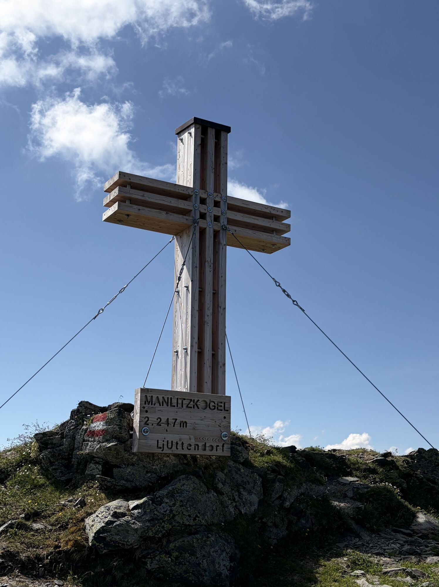
Manlitzkogel
(2,247 m)
Vrh
16.4 km
Zehentner Stange
(2,114 m)
Gorski prelaz
17.2 km
Mittagskogel
(2,092 m)
Vrh
17.7 km
Murnauer Scharte
(1,959 m)
Gorsko sedlo
19.1 km
Leitenkogel
(2,070 m)
Vrh
19.7 km
Leitenscharte
(2,041 m)
Gorsko sedlo
19.9 km
Schlaberstatt
(2,052 m)
Gorsko sedlo
22.2 km
Schusterscharte
(1,985 m)
Gorsko sedlo
23.2 km
Mittagskogel
(2,040 m)
Vrh
24.8 km
Tor
(1,933 m)
Gorsko sedlo
26.1 km
Saaljoch
(1,875 m)
Gorsko sedlo
27.3 km
Oberreiter Joch
(1,902 m)
Gorsko sedlo
28.8 km
Staffkogel
(2,115 m)
Vrh
29.8 km
Henlabjoch
(1,860 m)
Gorsko sedlo
31.8 km
Spieleckkogel
(1,998 m)
Vrh
33.8 km
Spieleck 6er
(1,942 m)
Postaja gondole
35.2 km
Hochalm 6er
(1,919 m)
Postaja gondole
36.2 km
Reichkendlkopf
(1,942 m)
Vrh
36.3 km
Hochalmspitze
(1,921 m)
Vrh
37.2 km
Roßwaldhütte
(1,551 m)
Restavracija
39.3 km
Wieseralm
(1,475 m)
Restavracija
40.9 km
Hasenauer 8er
(1,463 m)
Postaja gondole
41.2 km
Reiteralm
(1,544 m)
Restavracija
42.5 km
Saalbach
(997 m)
Vas
47.1 km
Informacije o turneji
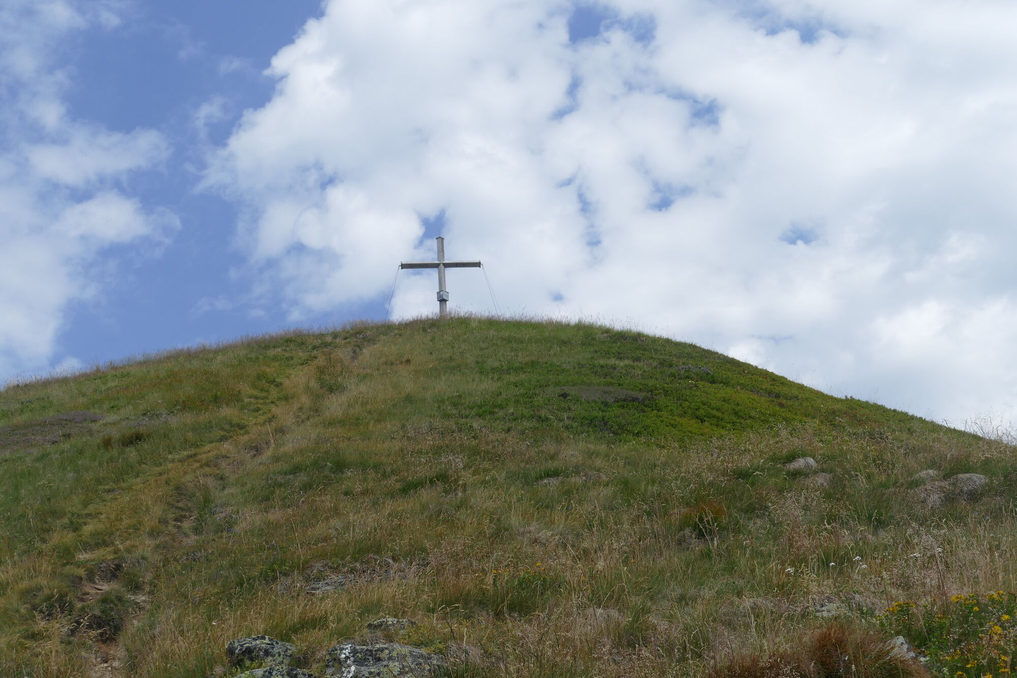
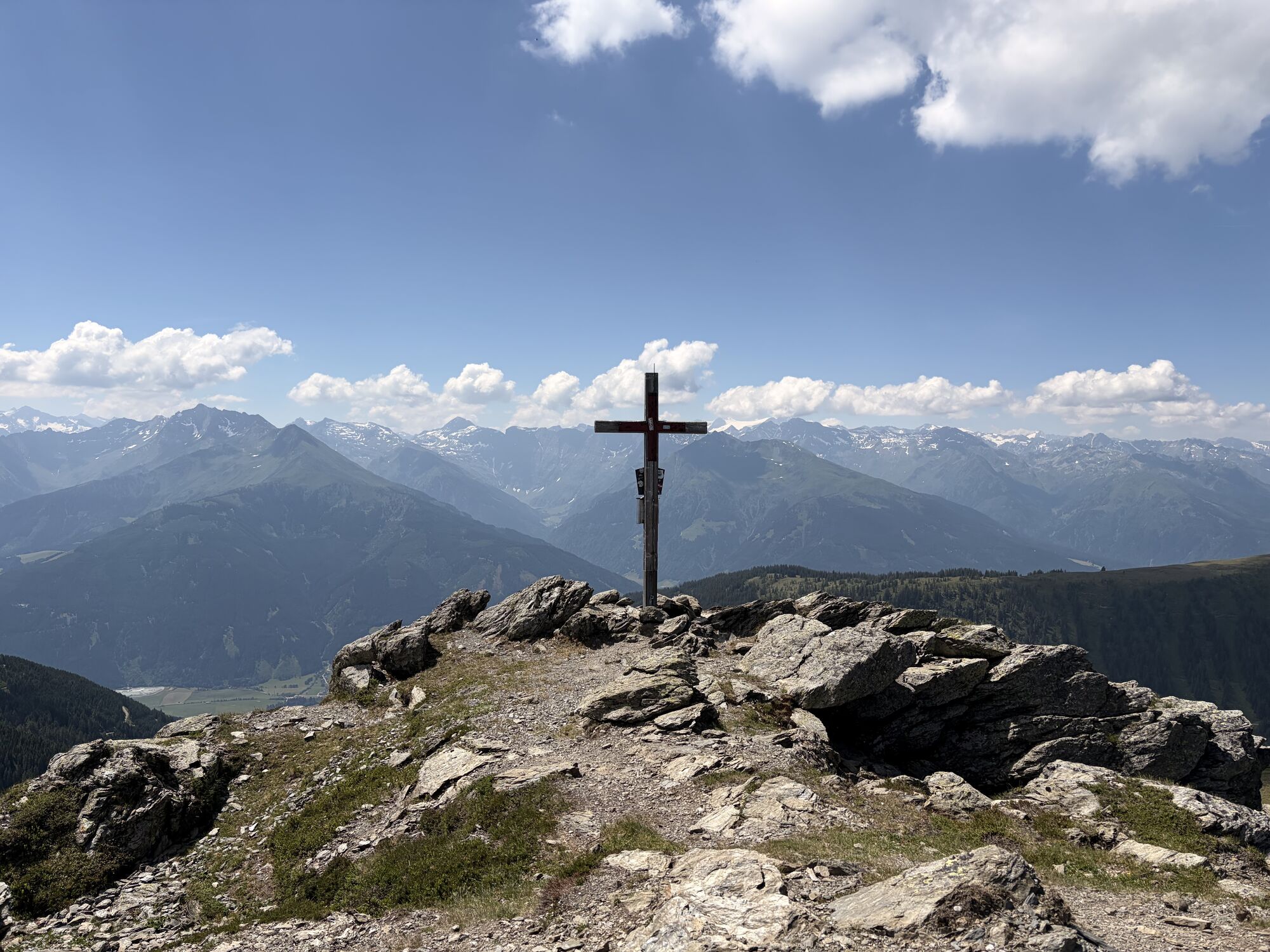
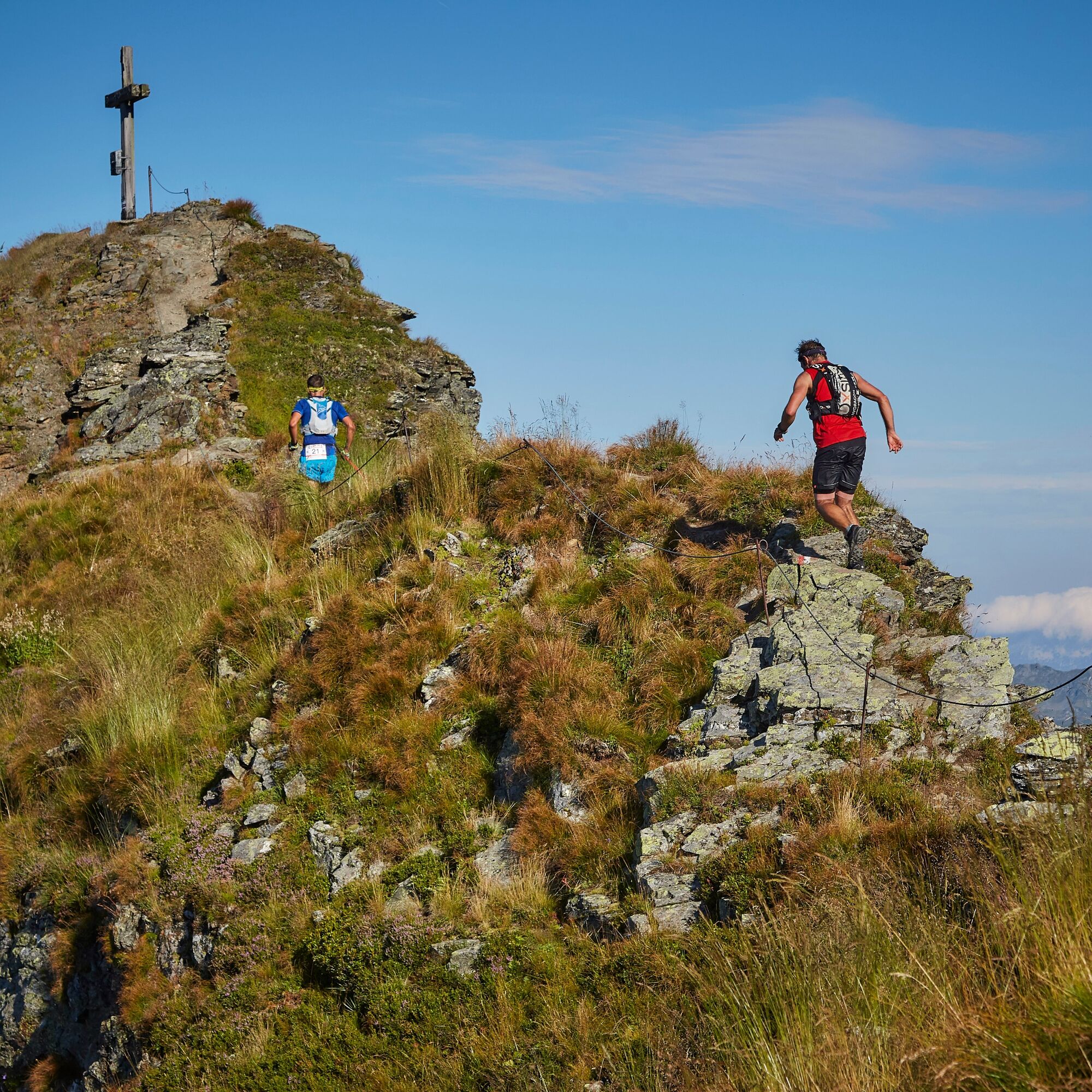
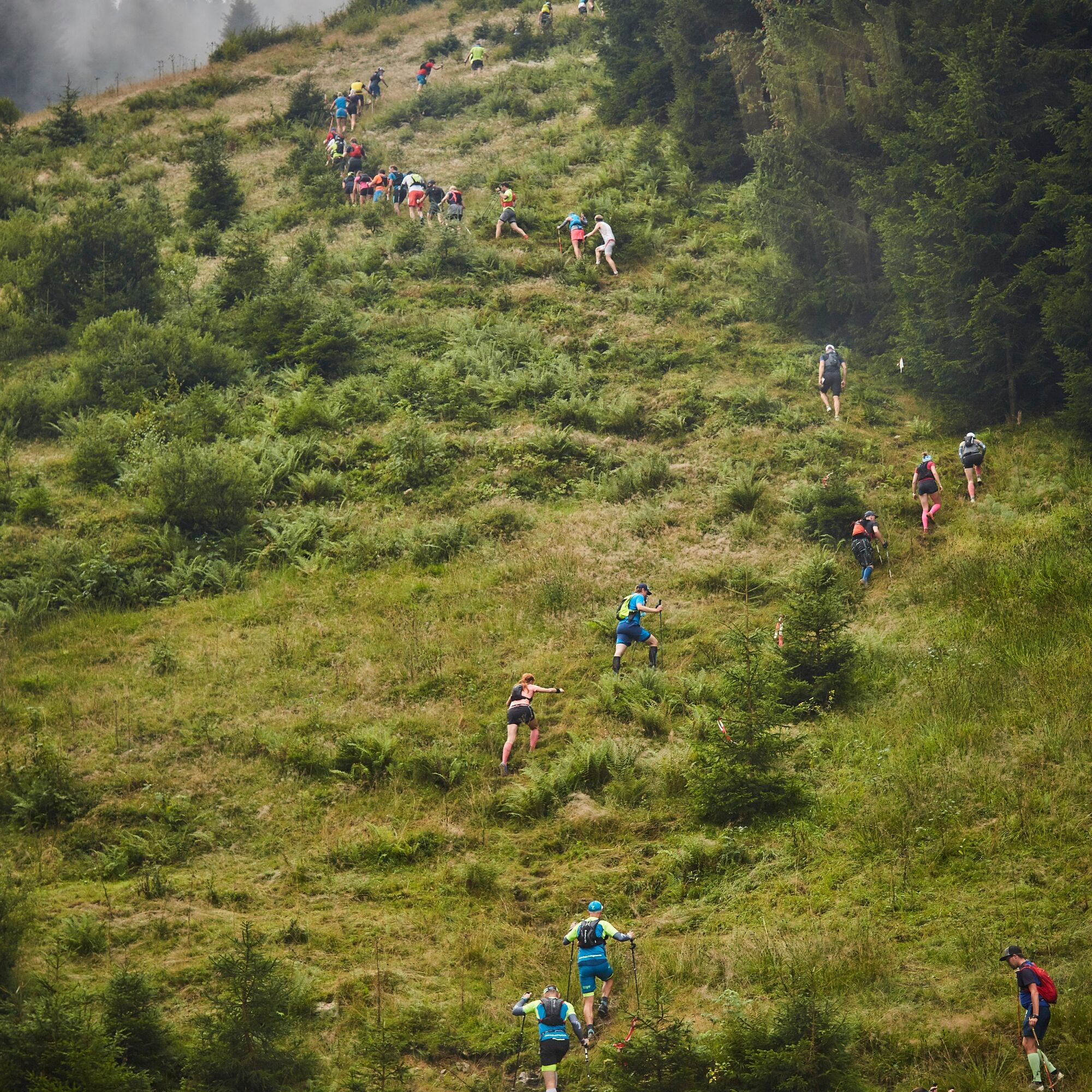
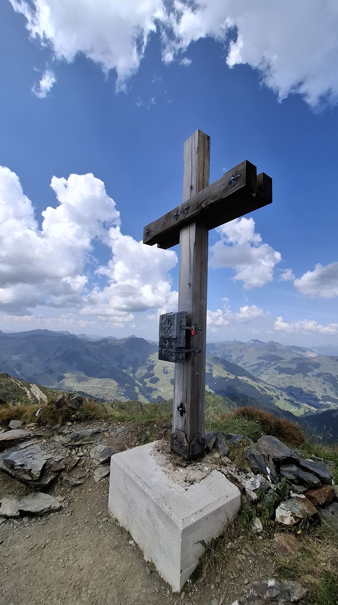
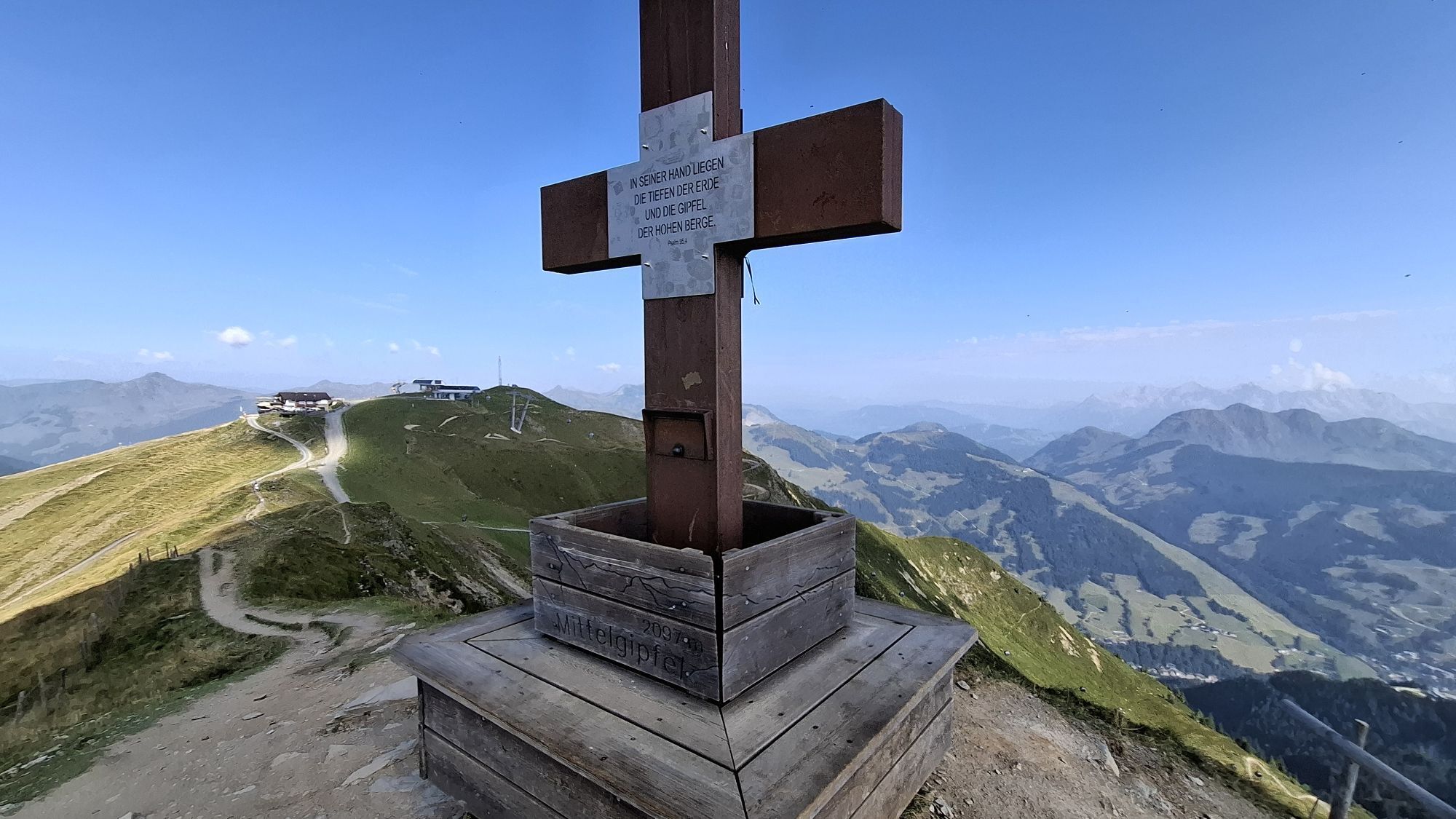
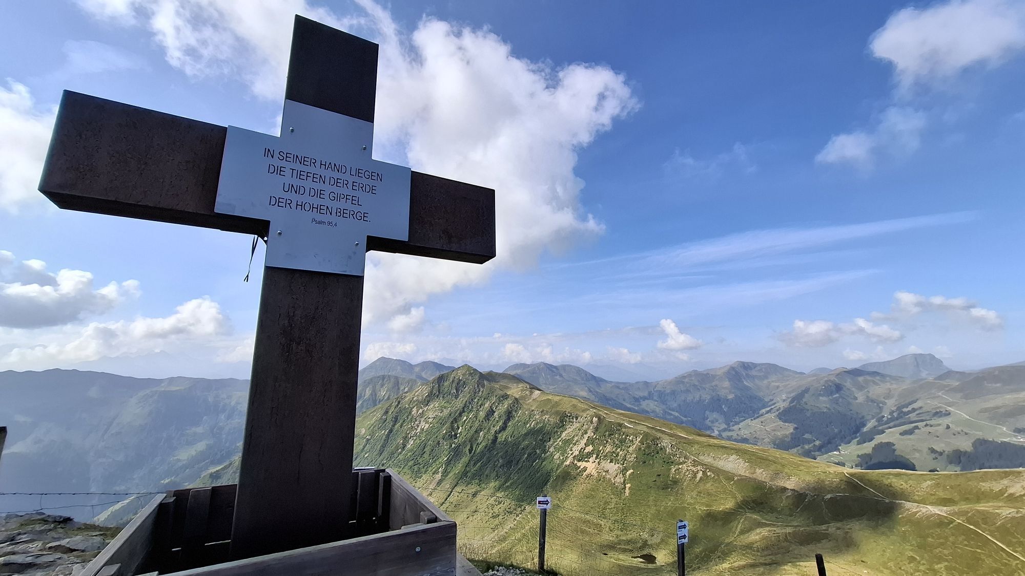
On Saturday, August 15th, 2026, you can expect a terrific trail run with a complete tour of the Glemmtal valley over the mountain peaks. 13 summit crosses and an imposing foresight ensure a big grin even at a distance of 47 km and 3500 meters altitude.


PLEASE NOTE: This route can only be run in this form as part of the Saalbach Trail & Skyrace.

Here you can find all the information about the Saalbach Trail & Skyrace

Tehnologija
n.a.
Stanje
6 / 6
Pokrajina
6 / 6
Izkušnje
6 / 6
Najboljši letni čas
Jan
Feb
Mar
Apr
Maj
Jun
Jul
Avg
Sep
Okt
Nov
Dec
Skupna turneja
Zemljevid
13 Summits Sky Marathon
težko
Trailrunning
47.20 km
Napaka
Zgodila se je napaka. Prosimo, poskusite znova.
Informacije o poti
Geološki poudarki

Da

Ogled vrha

Da

Enosmerna tura

Da

Varnostna navodila
Equipment: Mobile phone, battery charged, (number of the organizer +43 (0) 6764433228 mandatory for marathon and sky race!) Running shoes (grippy sole) Functional runner’s wear Waterproof jacket - (optional overpants) Aluminium emergency blanket! (Aluminum coated 140 × 200 cm) Route map (available at the start) 0.5 liters of liquid or a bottle (better 1 liter) Emergency catering (at least 1-2 bars and 1-2 gels) Recommended: Insurance for a possible helicopter rescue (ÖAV, ÖAMTC ...) Recommended: headgear / cap (heat) When using poles, they must be carried with you from start to finish!
Informacije o prihodu
Parkirišče

On the large gravel parking lot opposite the Saalmed - Dr. Schnell medical station in Saalbach — just turn left immediately after entering the village.
Še ni pregledov
Napišite pregled

Mnenja pomagajo drugim uporabnikom pri izbiri naslednje pustolovščine. Ocenite samo izlet, ne pa tudi vremena ali prigrizka.

Izberite eno od zvezdic, da ocenite ogled
Slaba turneja
Šibka turneja
Povprečna turneja
Dobra tura
Odlična tura
Pohodništvo in sledenje

Pohodništvo in sledenje

Pohodništvo in sledenje
Zaradi več kot 550.000 predlogov izletov, podrobnih zemljevidov in intuitivnega načrtovanja poti je aplikacija obvezna oprema za vse ljubitelje narave.
bergfex