


Hofalm nature and hiking trail
Fotografije naših uporabnikov
-
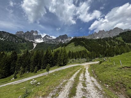
 © Martin HoferUstvarjeno na 26.10.2025
 -
 © Martin HoferUstvarjeno na 26.10.2025
 -
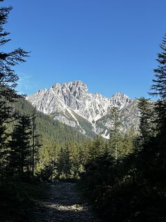
 © Markus GallaUstvarjeno na 11.08.2025
 -
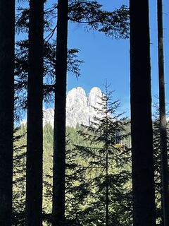
 © Kellner HeidiUstvarjeno na 28.07.2025
 -
 © Kellner HeidiUstvarjeno na 28.07.2025
 -
 © Kellner HeidiUstvarjeno na 28.07.2025
 -
 © Kellner HeidiUstvarjeno na 28.07.2025
 -
 © Kellner HeidiUstvarjeno na 28.07.2025
 -
 © Kellner HeidiUstvarjeno na 28.07.2025
 -
 © Jürgen ClementUstvarjeno na 10.11.2024
 -
 © Jürgen ClementUstvarjeno na 10.11.2024
 -
 © Jürgen ClementUstvarjeno na 10.11.2024
 -
 © Adam CsepregiUstvarjeno na 08.06.2024
 -
 © Adam CsepregiUstvarjeno na 08.06.2024
 -
 © Jürgen ClementUstvarjeno na 14.10.2023
 -
 © Jürgen ClementUstvarjeno na 14.10.2023
 -
 © Jürgen ClementUstvarjeno na 14.10.2023
 -

 © Jonny BlackUstvarjeno na 22.06.2025
 -

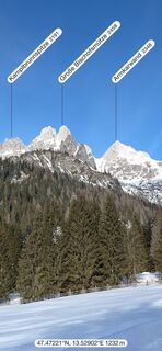
 © G.AugustinUstvarjeno na 22.01.2025
 -
 © G.AugustinUstvarjeno na 22.01.2025
 -
 © G.AugustinUstvarjeno na 22.01.2025


Description
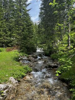
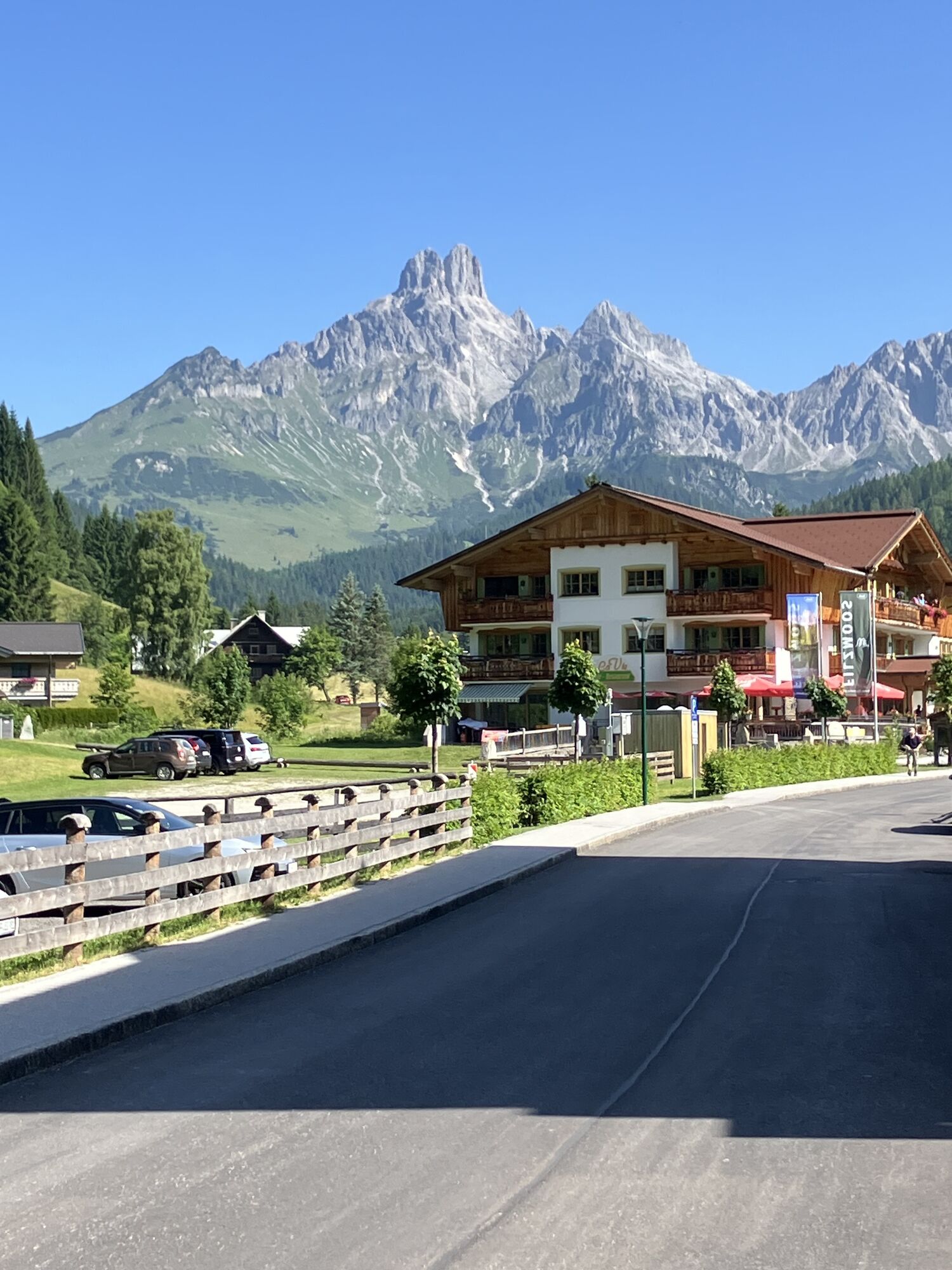
From the village square Filzmoos, follow the road towards Hinterwinkl to the toll station - hiking portal - cross the bridge to the right before the toll station and follow the Leopichl farm...
Description
From the village square Filzmoos, follow the road towards Hinterwinkl to the toll station - hiking portal - cross the bridge to the right before the toll station and follow the Leopichl farm road a short distance to the cattle grid; immediately to the left behind the cattle grid begins the Hofalm nature and hiking trail, which initially leads through the forest until you reach the path behind the Wallehengut farm. Follow the signs for the Hofalmen footpath until the paths fork: right goes to Oberhofalm and left to Unterhofalm.
To Oberhofalm, hike right along the footpath until it merges into the toll road. Follow the road a short distance past the Kaltenbach bridge, where a hiking path runs parallel to the road and branches right into the forest. Continue to the Tieregg hut, then follow the toll road briefly to the "Bögrainalm" - Alpine Club path no. 612 A. Tip: Drink a sip of the delicious, good spring water from the "Meeräugl Source" from the trough in front of the Bögrainalm. Continue following the road to Oberhofalm. From Oberhofalm, you can take a circular route via Almsee to Unterhofalm. From Oberhofalm, the hiking bus returns to Filzmoos.
Condition Infrastructure Dining options Points of interest Further information
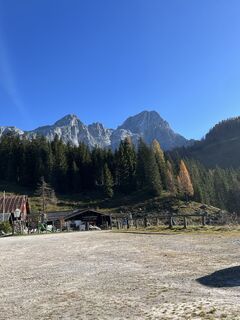
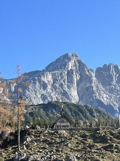
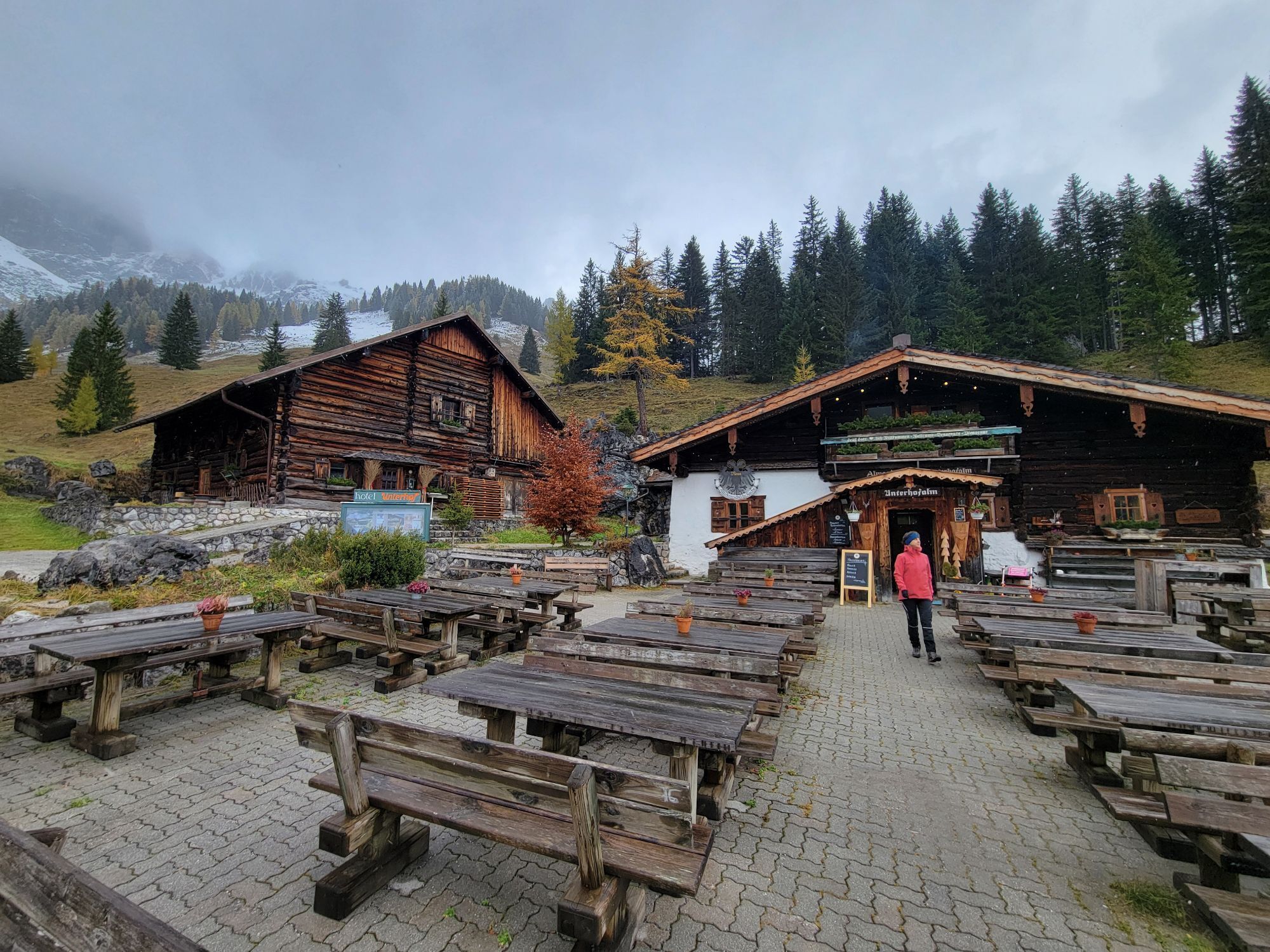
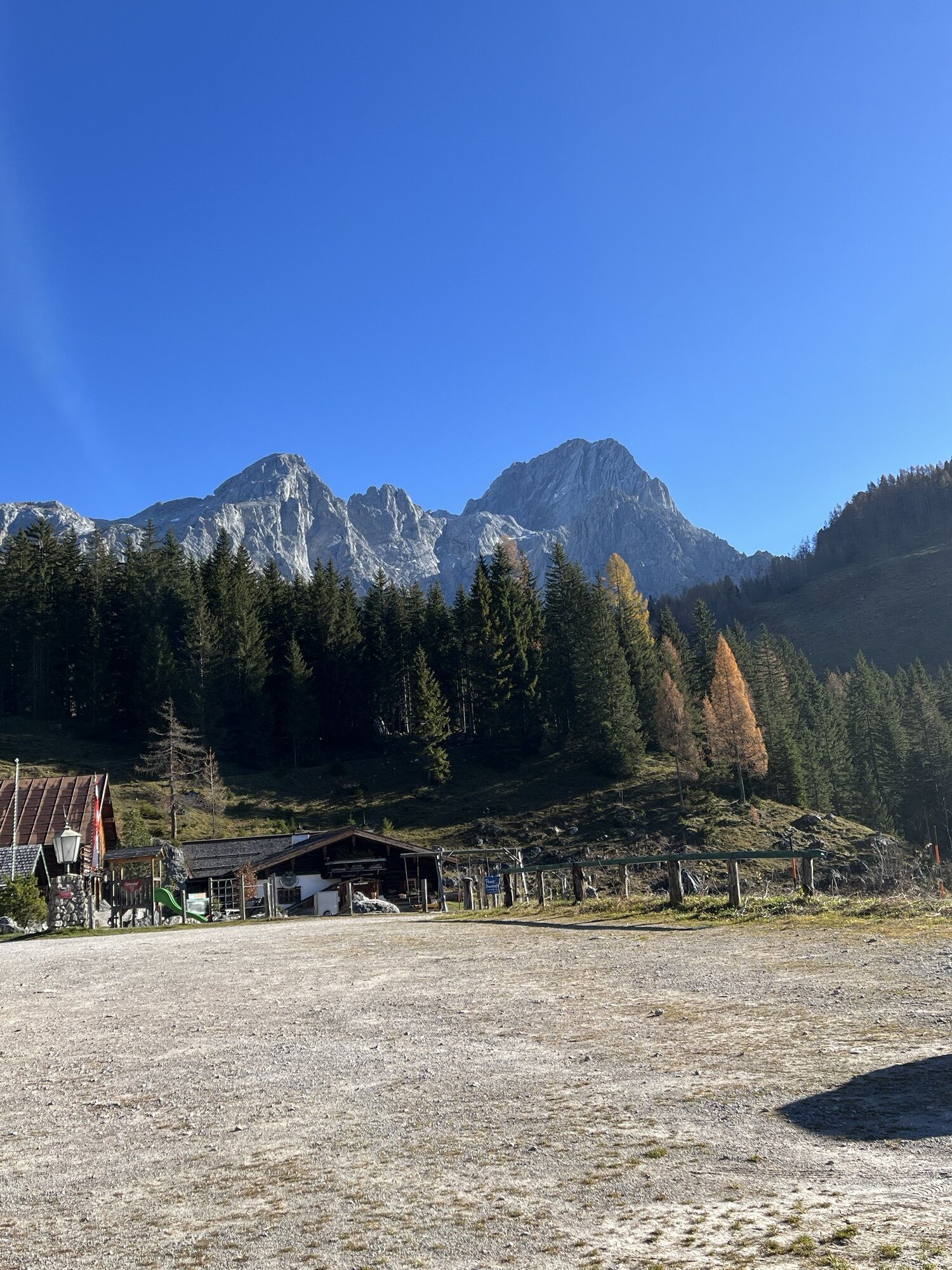
Oberhofalm:
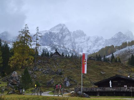
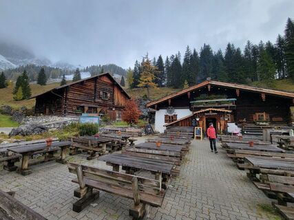
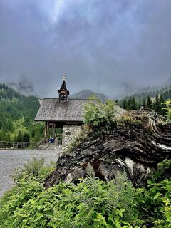
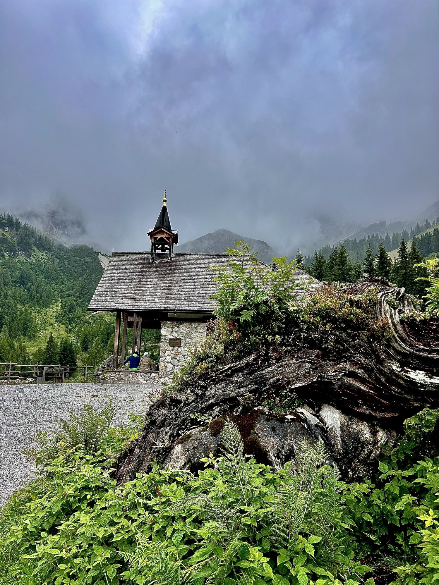
serviced, rustic, traditional, over 300 years old, cozy rooms, sun terrace, farm specialties, old water wheel next to the hut, newly built chapel "Maria am Steineggl"
Unterhofalm:
serviced, "The Experience Alm", 220 years old, cozy rooms and larger spaces, sun terrace, farm specialties, water wheel
Bögrainalm:
not serviced, Meeräugl Source, trough in front of the hut
Starting point:
Village square Filzmoos or Hofalm toll station
End point:
Oberhofalm and Unterhofalm
Length:
7.5 km one way
Total walking time:
2 - 2.5 hours
Path numbers:
30A, 30 B, 30 C
Difficulty level:
easy


An ideal family route, gentle incline.
Da
Da
Da
normal hiking clothing, good footwear
Up to the Hofalm toll station (parking available), or directly to Oberhofalm or Unterhofalm via the toll road. Accessible by car, hiking bus, or horse-drawn carriage.
Filzmoos hiking bus
In front of the Hofalm toll station or in a parking lot in town; parking spaces available at the two huts Oberhofalm and Unterhofalm.
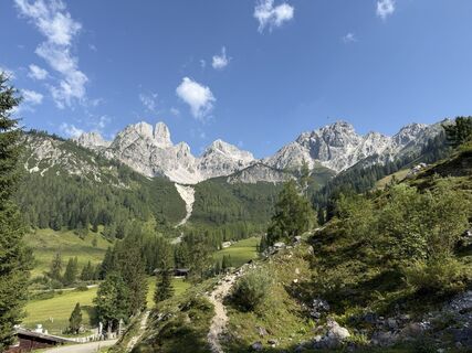
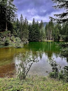
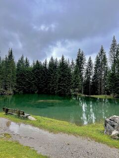
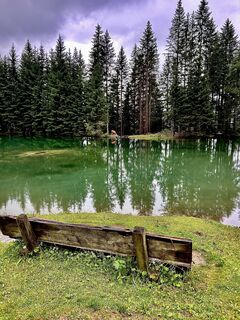
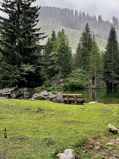
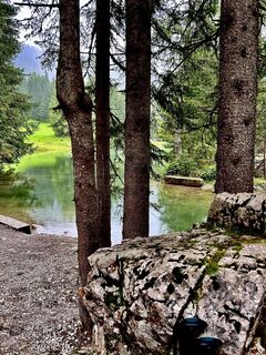
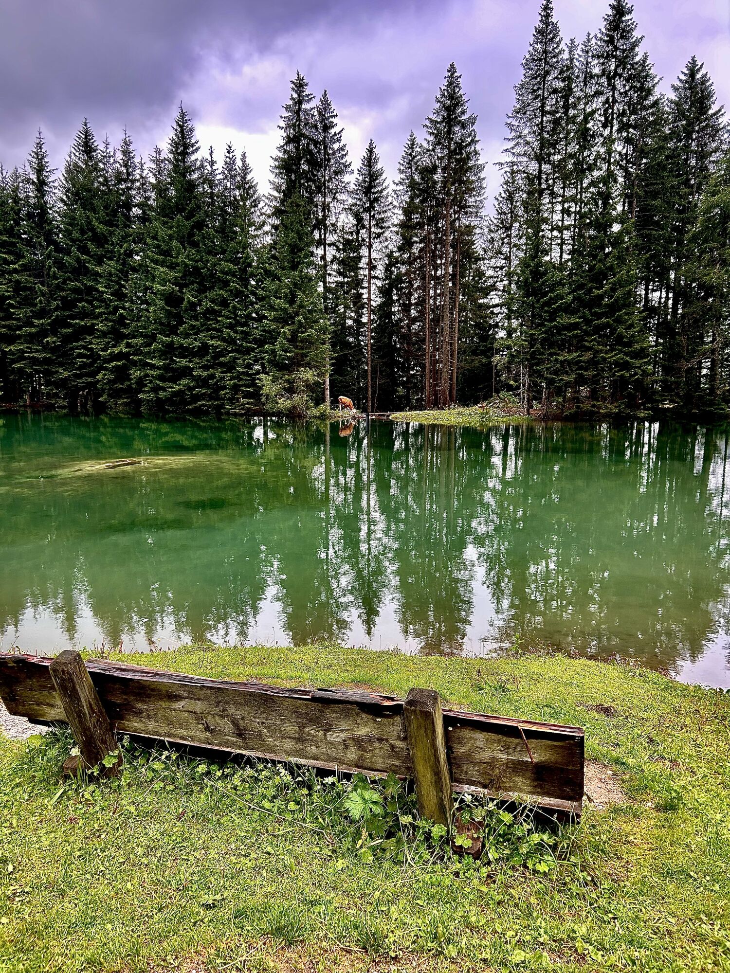
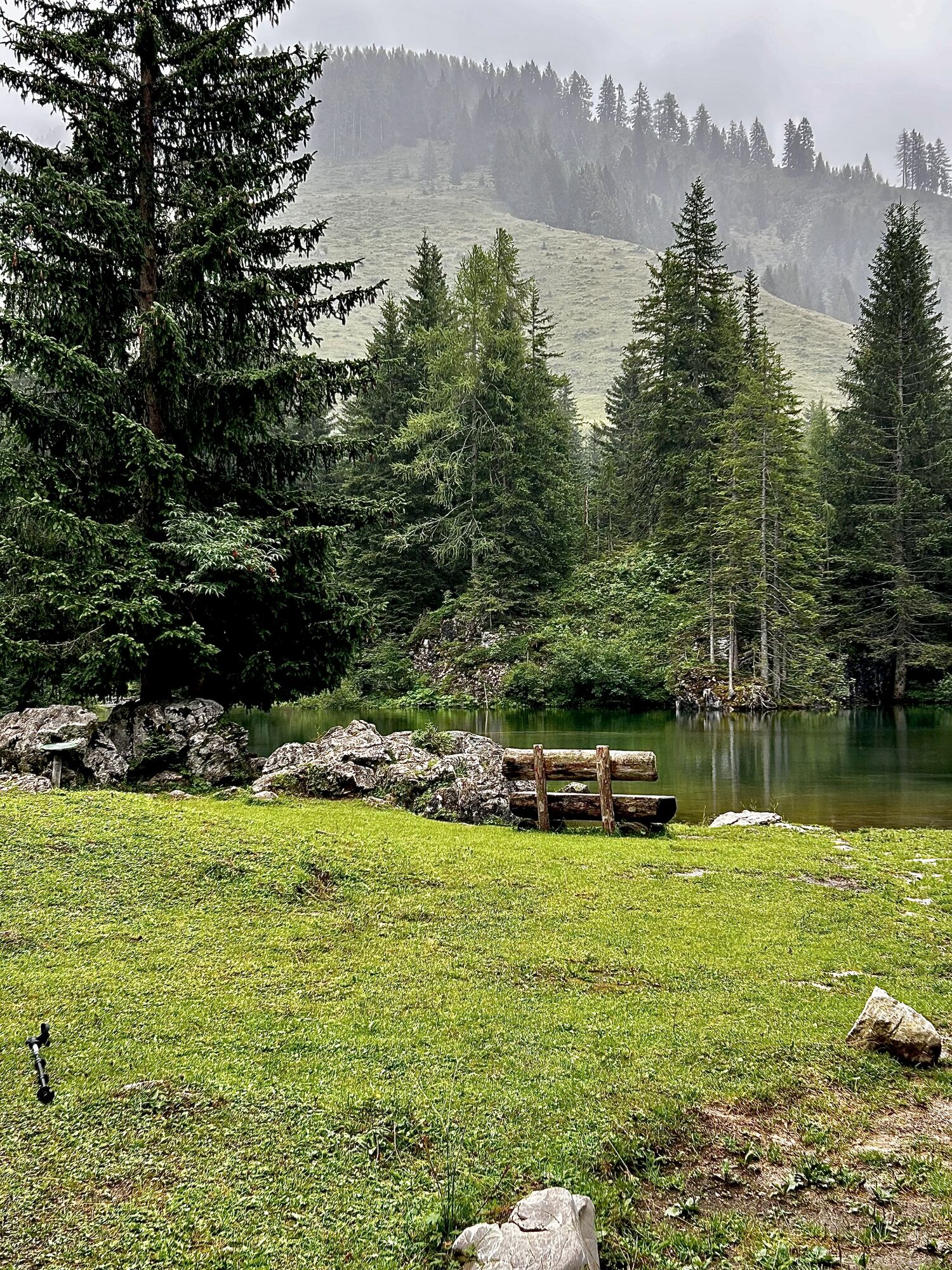
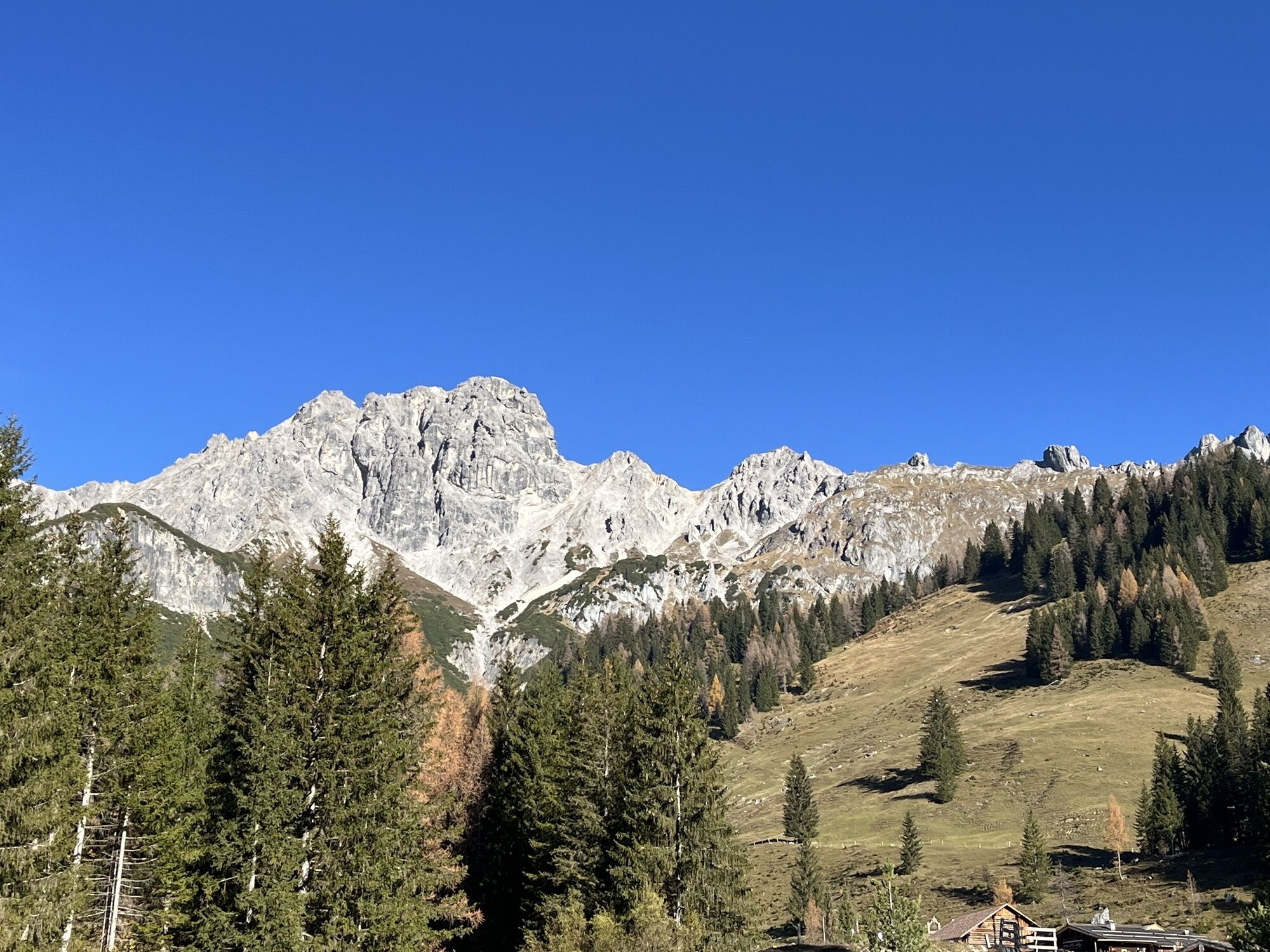
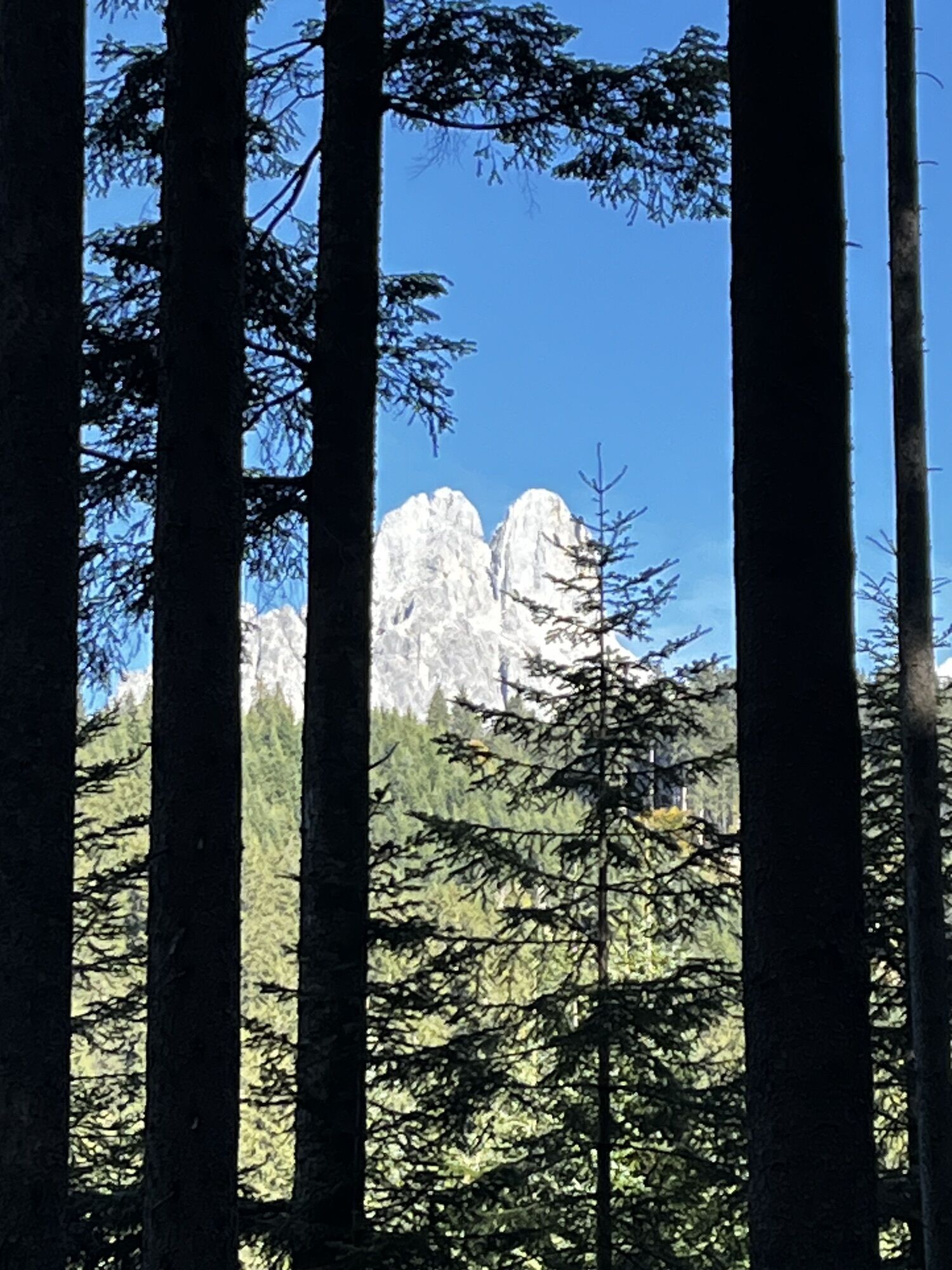
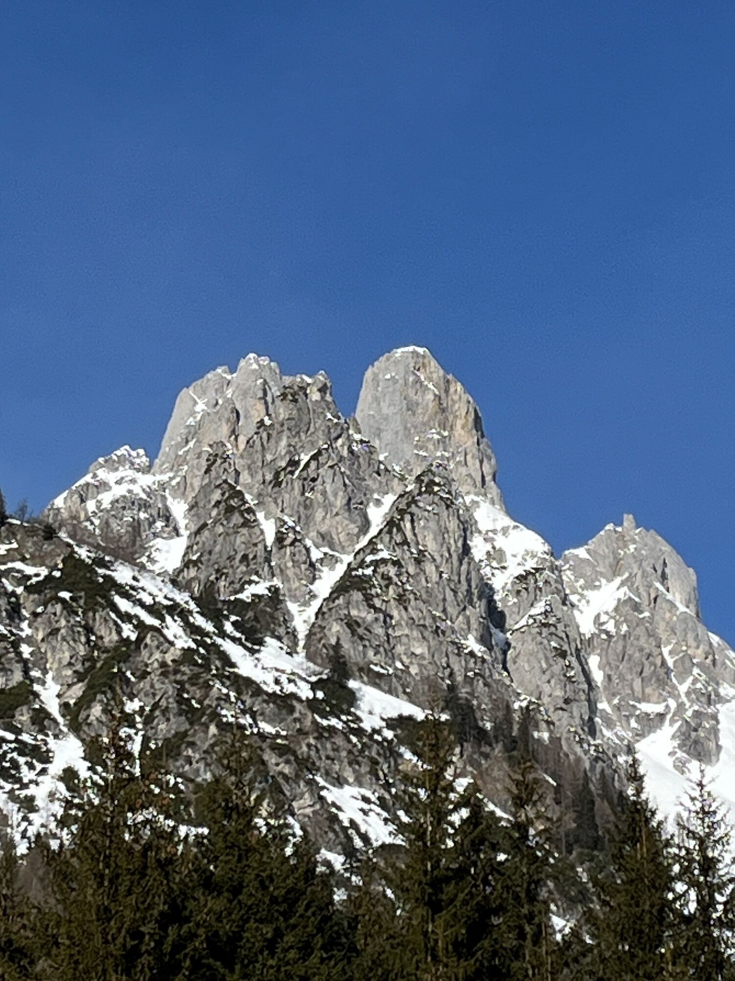
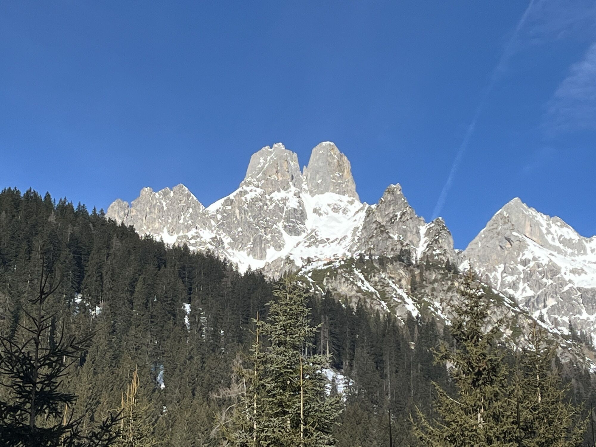
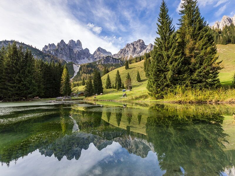
Stroll along the wonderful circular route from Oberhofalm via the Almsee to Unterhofalm or vice versa. The Almsee is a small, idyllic mountain lake at the foot of the Bischofsmütze.
Spletne kamere s turneje
Priljubljeni izleti v okolici
-
4.8
Heilbronner circular trail
svetlobaPohodništvo 7.78 km -
4.7
Tour around the Gosaukamm
srednjaPohodništvo 20.9 km -
4.3
Filzmoos: Rötelstein (Rettenstein)
Pohodništvo 9.50 km -
4.1
Reiteralm Höhen-Rundweg
srednjaPohodništvo 5.50 km -
4.7
Vorderer u. hinterer Gosausee
srednjaPohodništvo 15.0 km -
4.6
Donnerkogel vom Gosausee mit Intersport Klettersteig C/D und Himmelsleiter
težkoVia ferrata 7.70 km -
4.7
Tor-Wanderung
težkoPohodništvo 14.2 km -
4.4
Hornspitz von Russbach
srednjaSmučarska tura 6.93 km -
4.1
Wiesberghaus
srednjaSmučarska tura 21.6 km -
5.0
Forstau - Rippetegg / Reiteralm
srednjaPohodništvo 13.9 km

Pohodništvo in sledenje


Ne zamudite ponudb in navdiha za naslednje počitnice
Vaš e-poštni naslov je bil dodan na poštni seznam.