







Ski route to Anzenberg
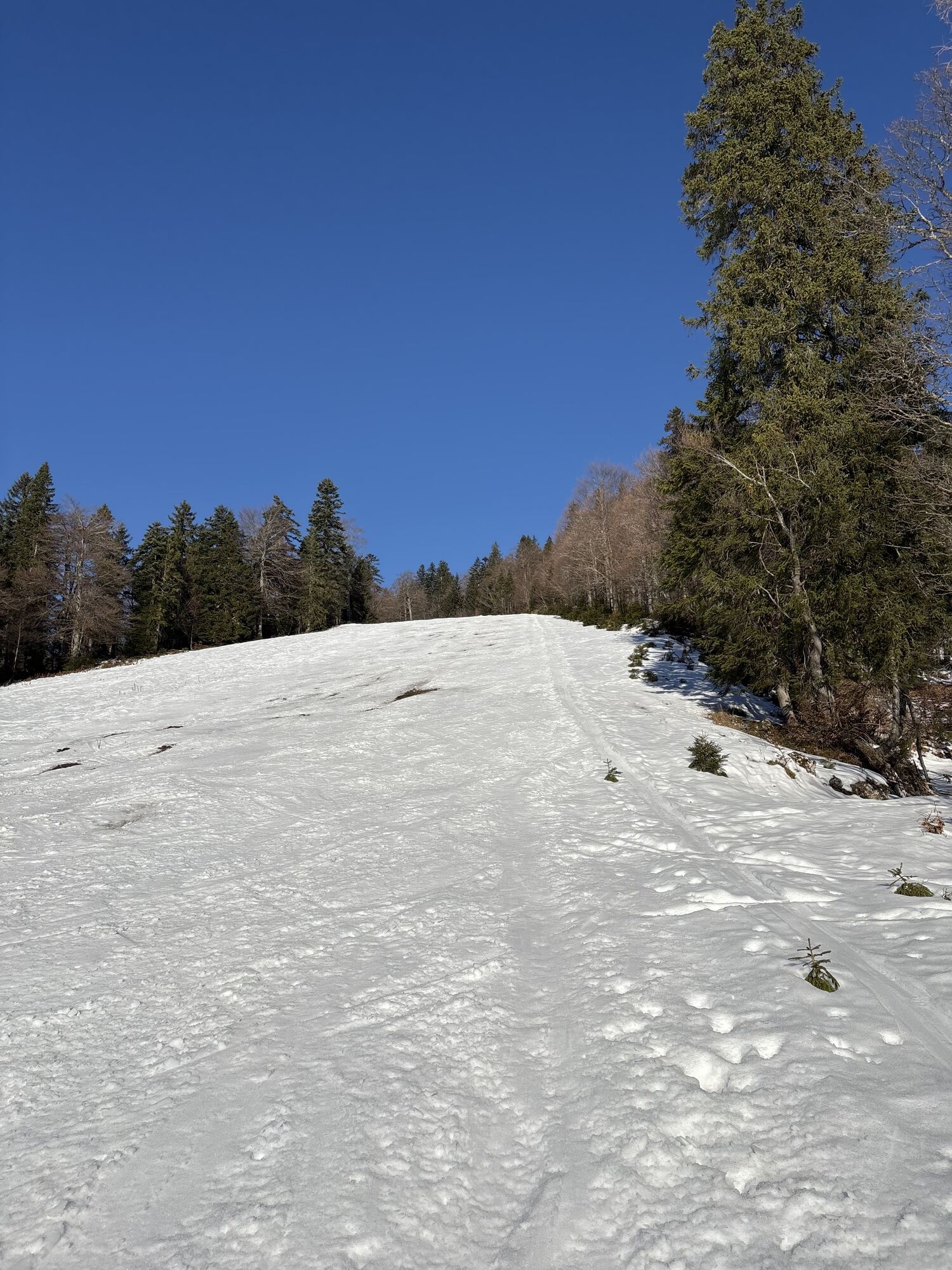
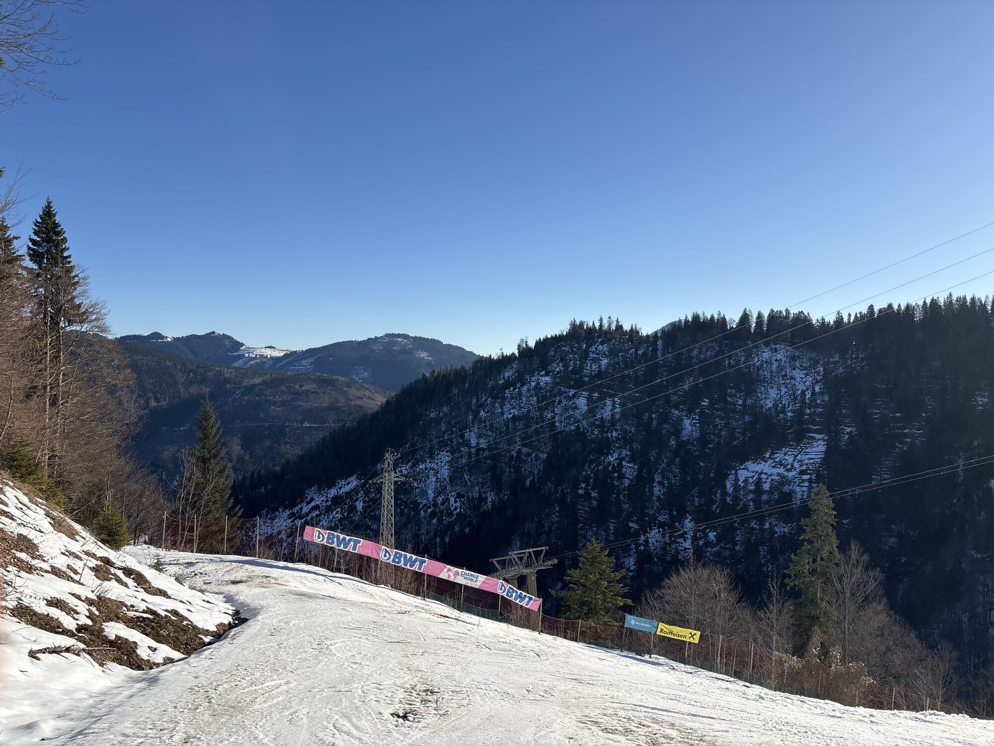
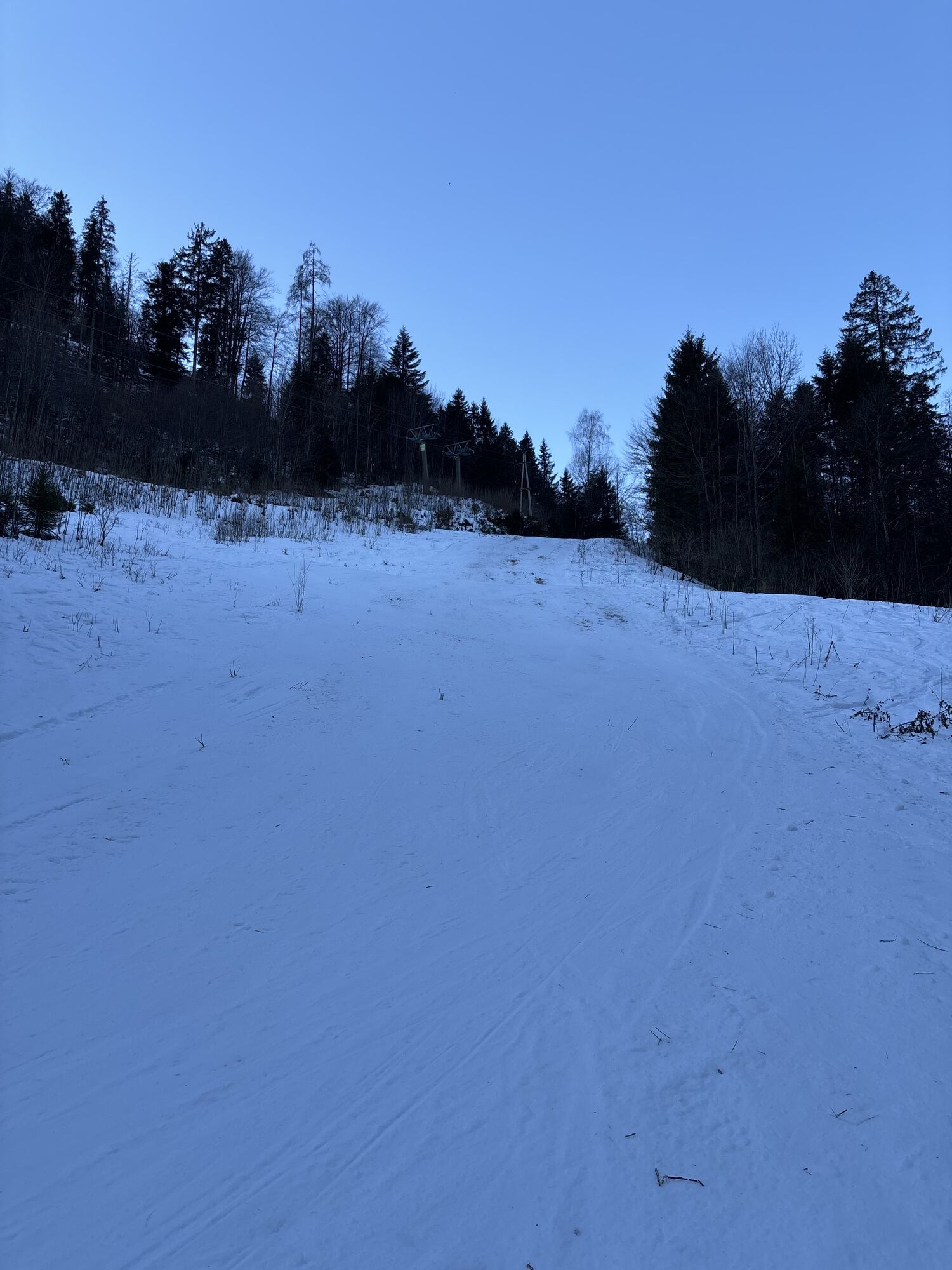
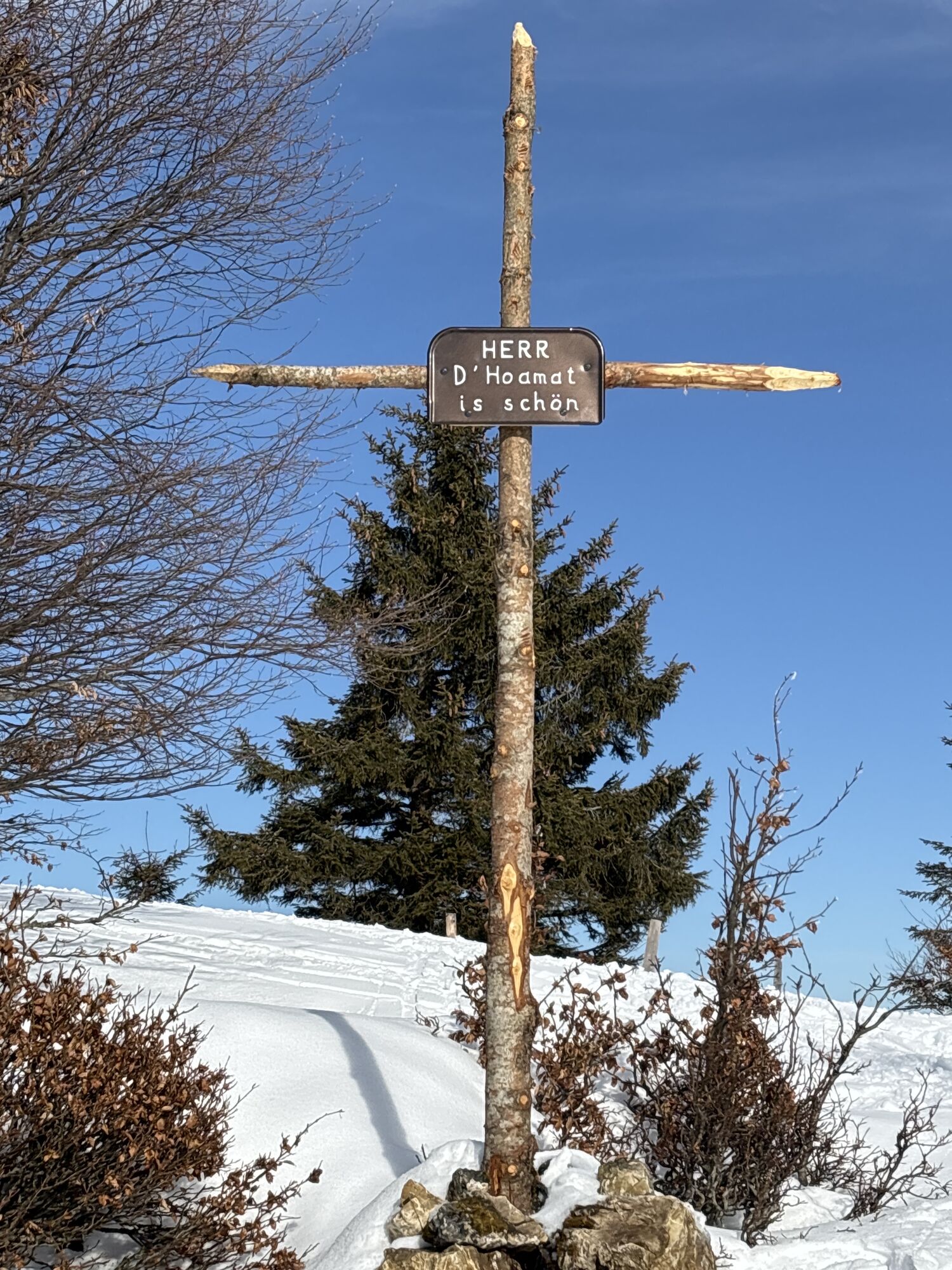
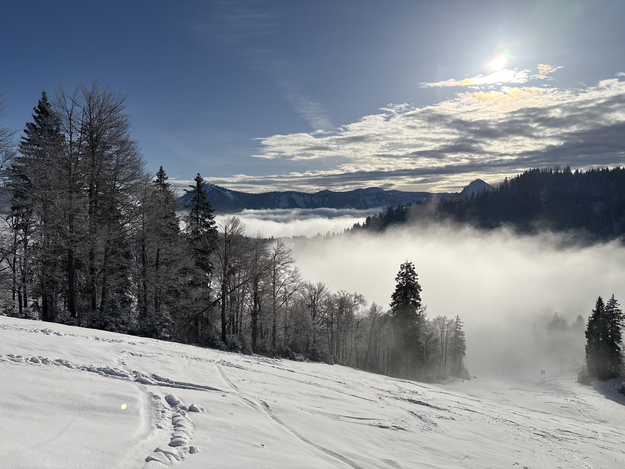
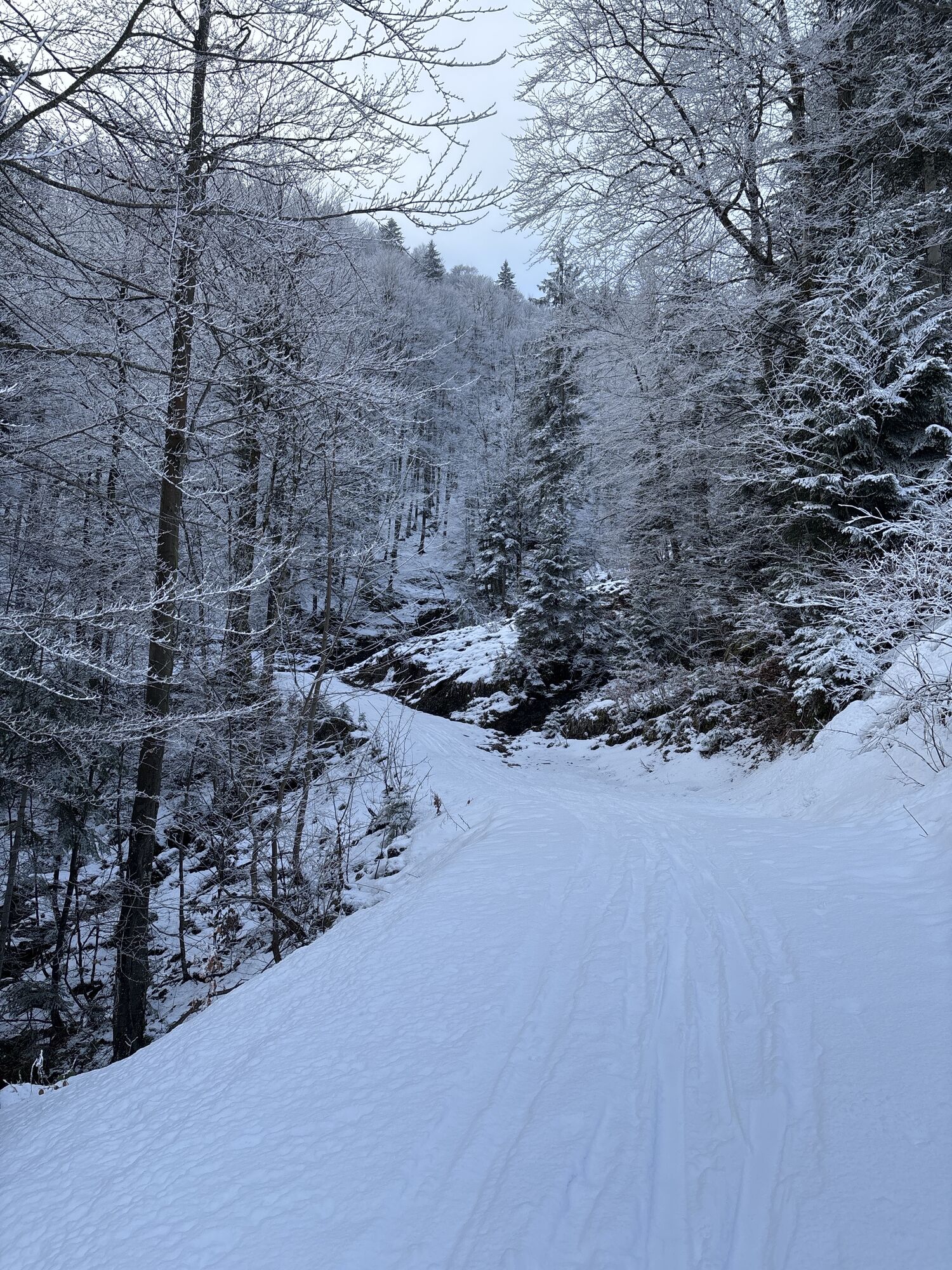
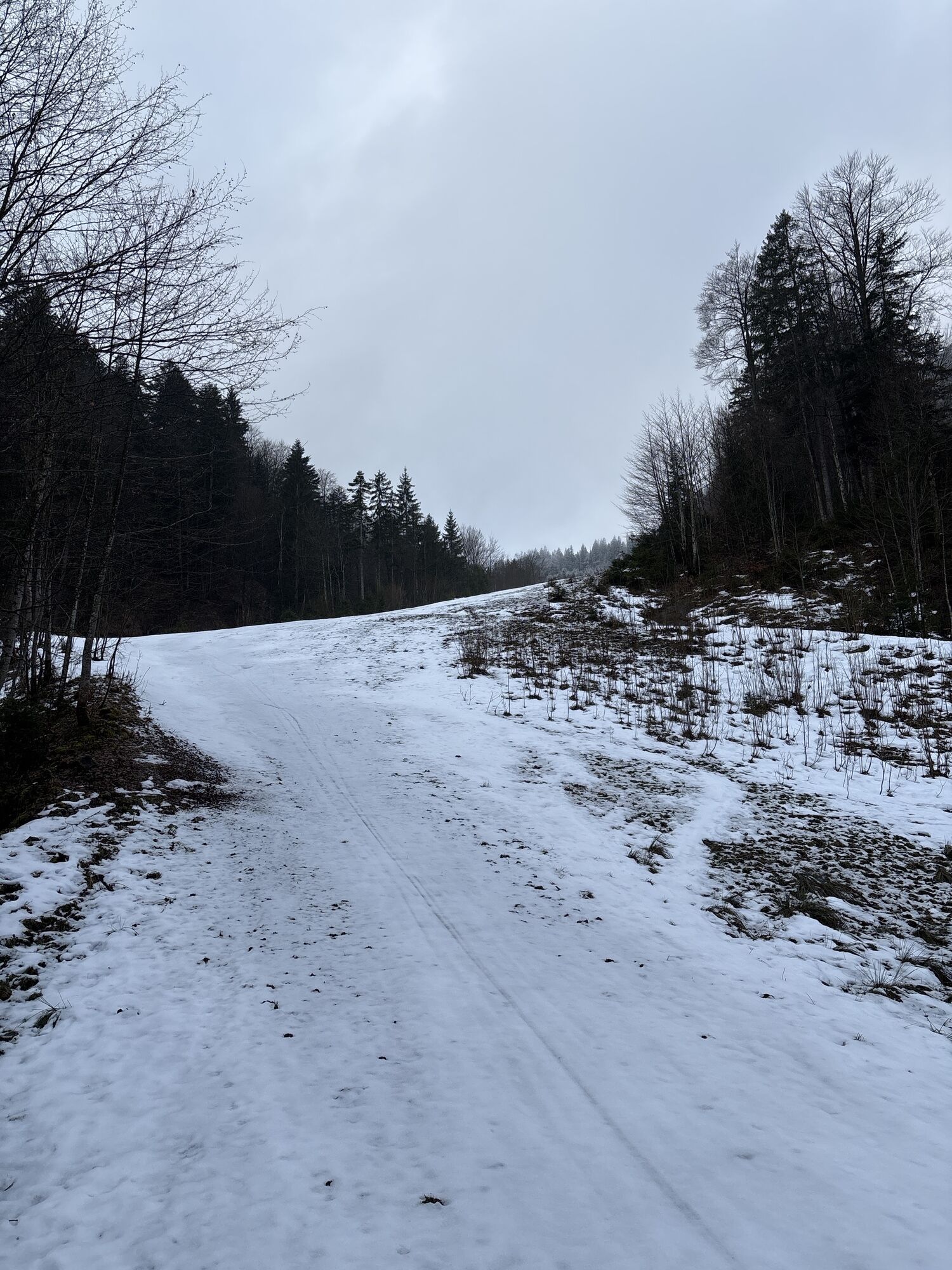
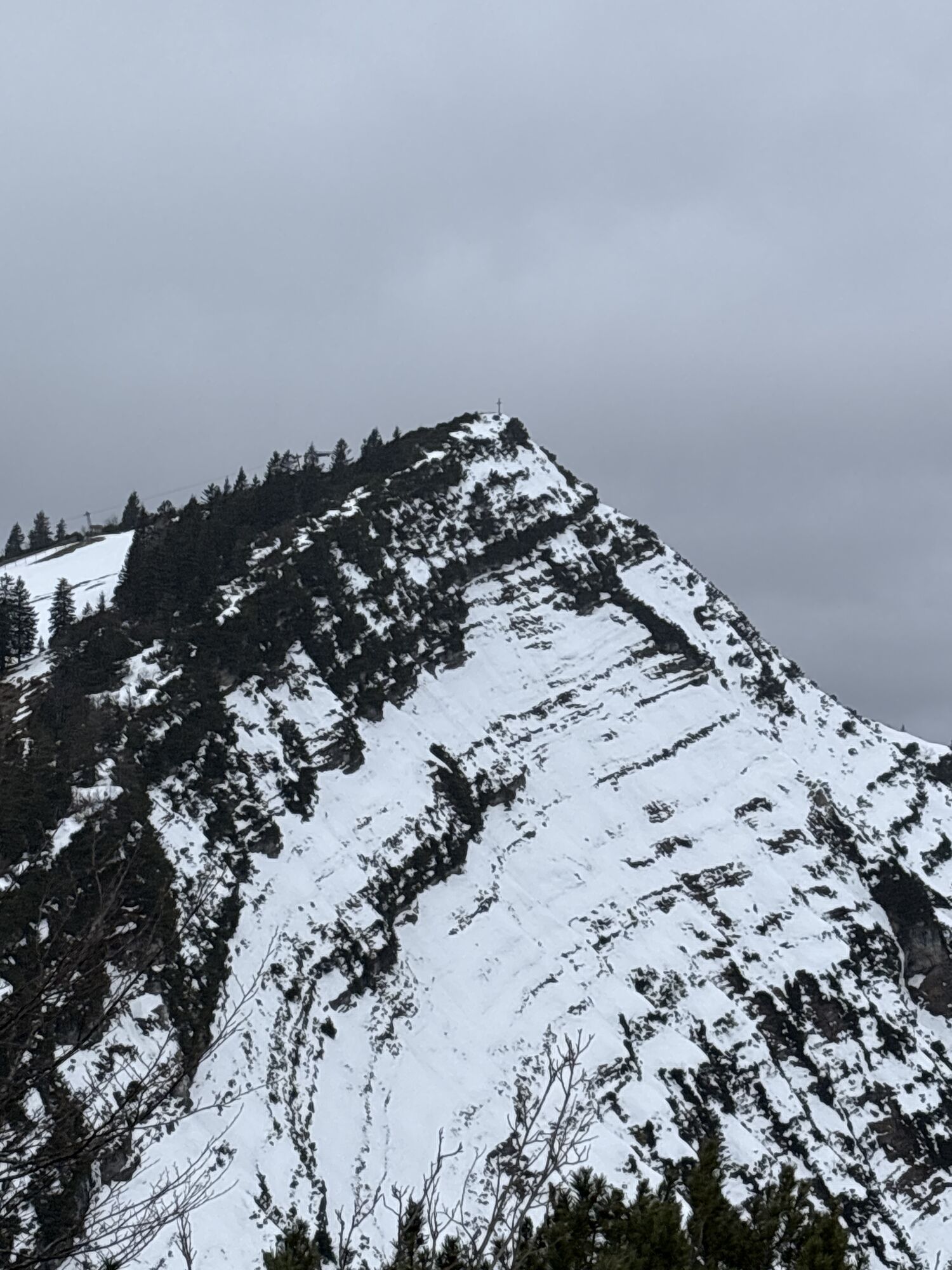

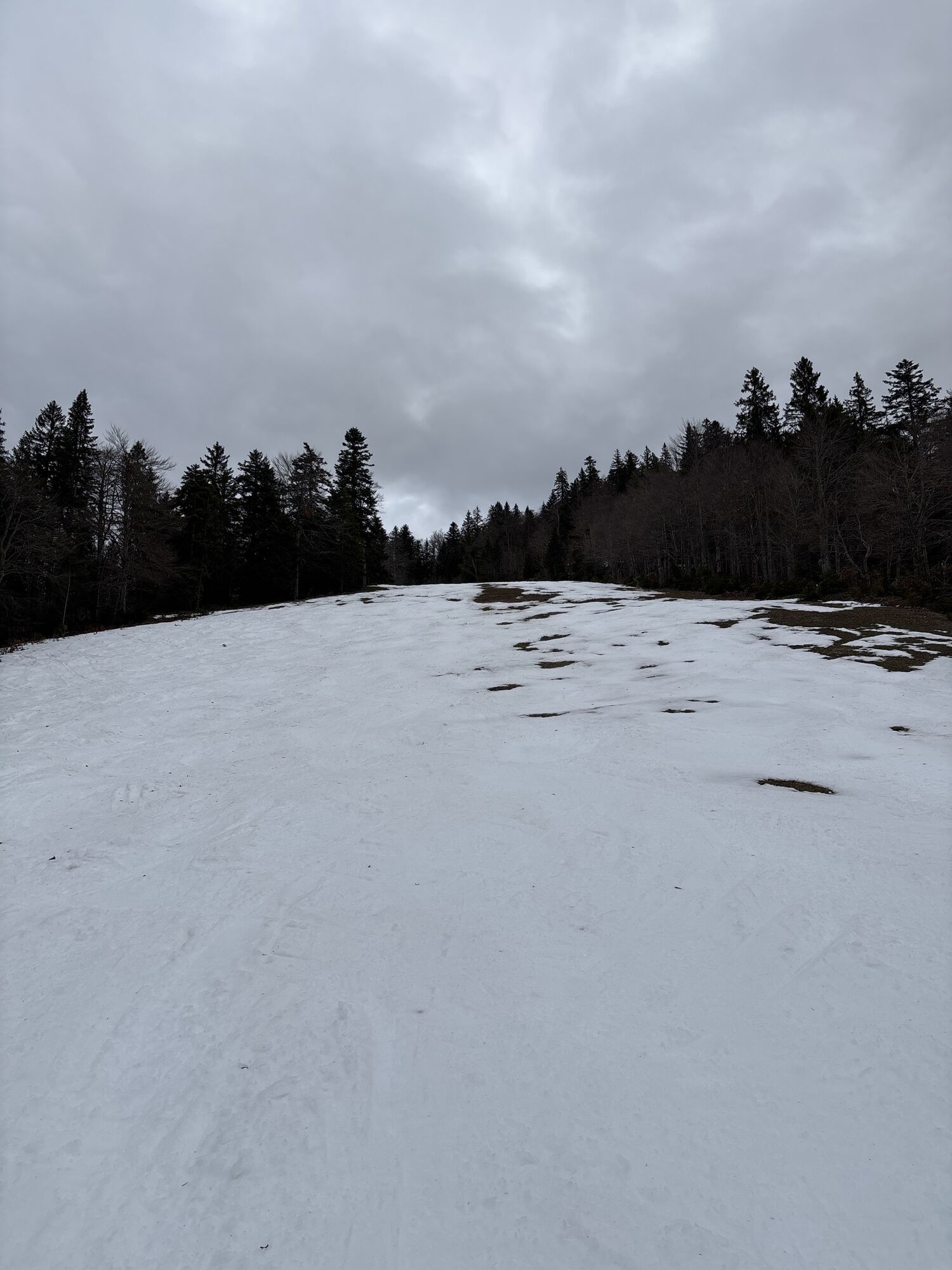
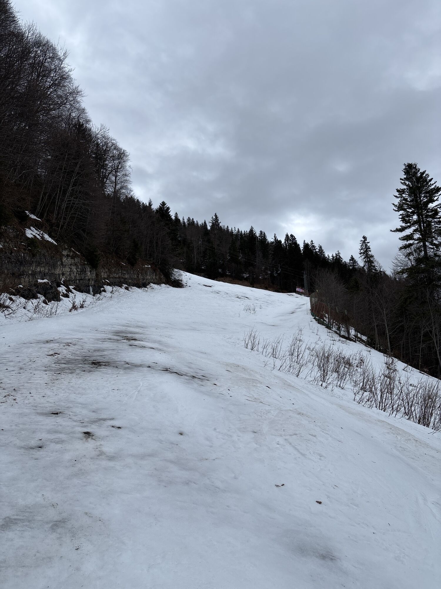
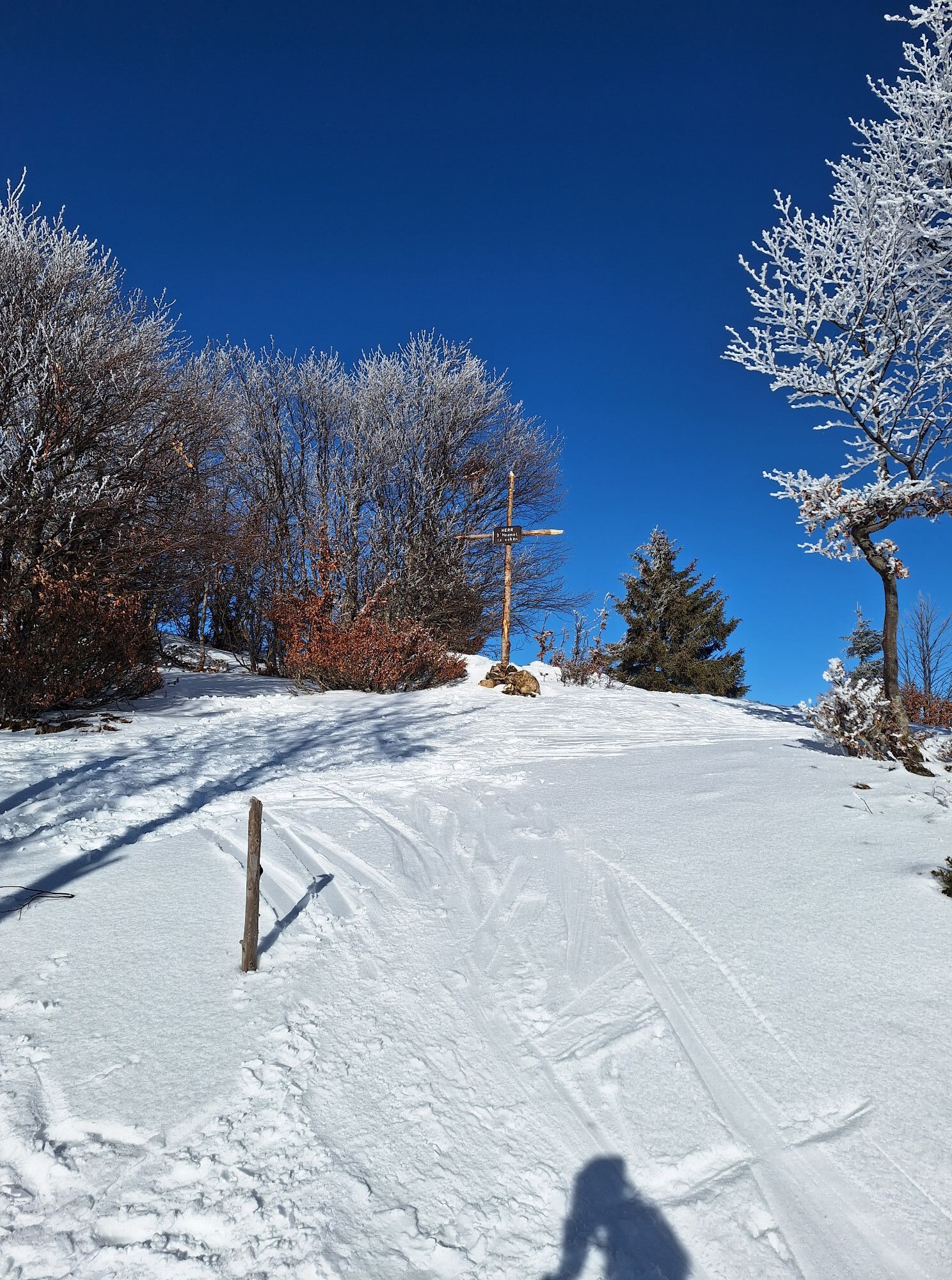
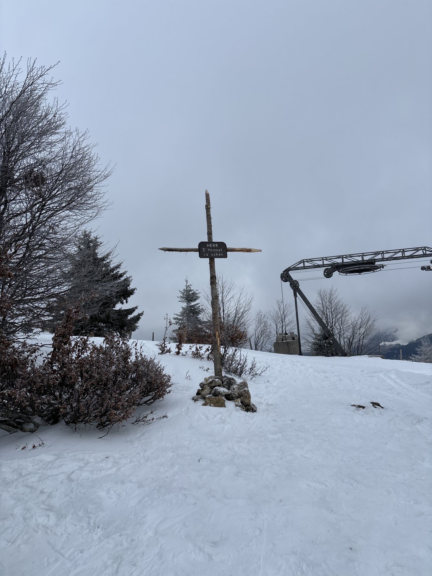
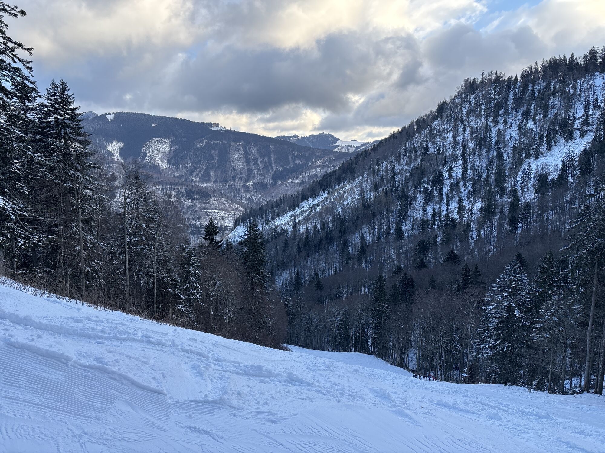
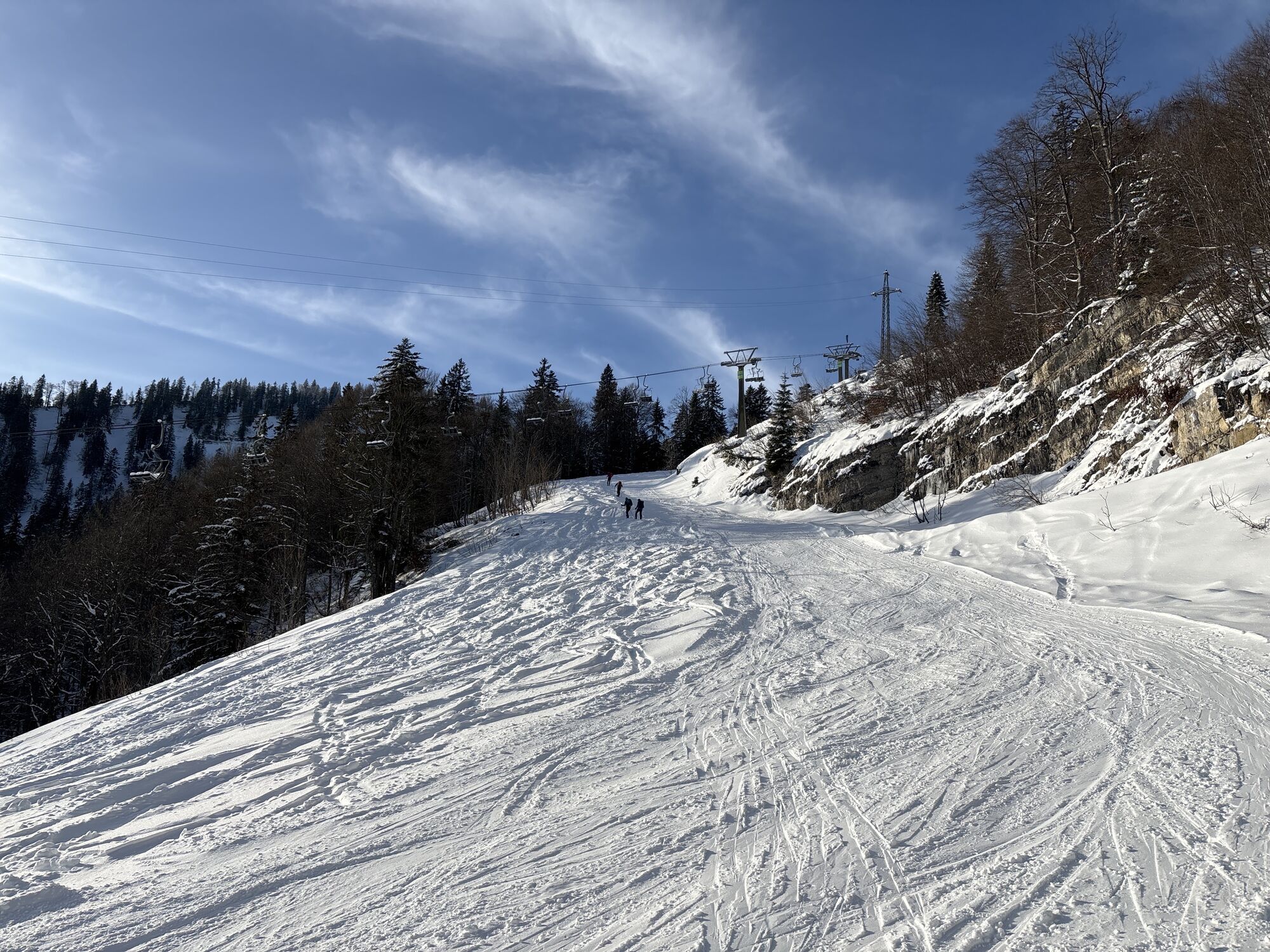
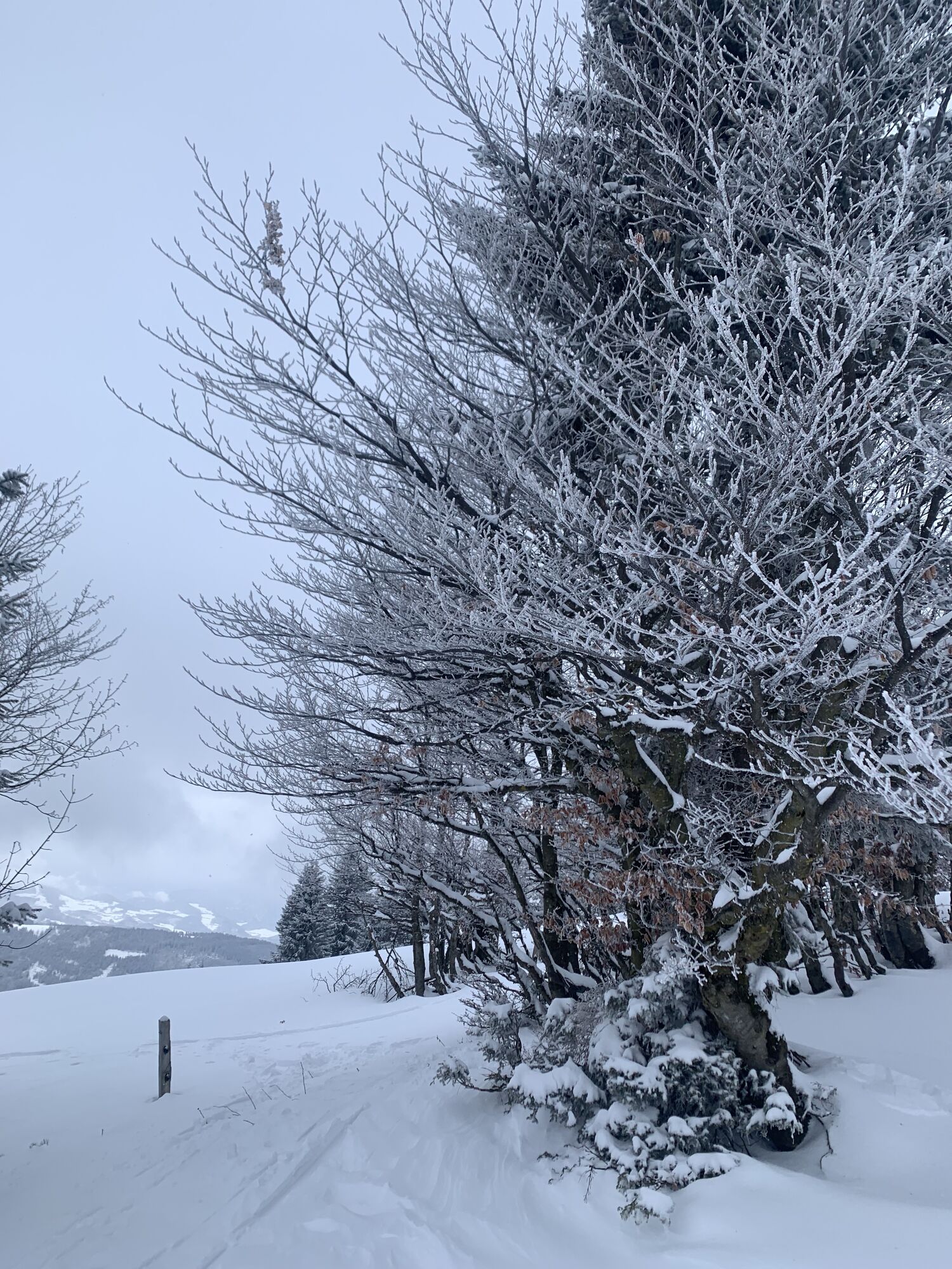
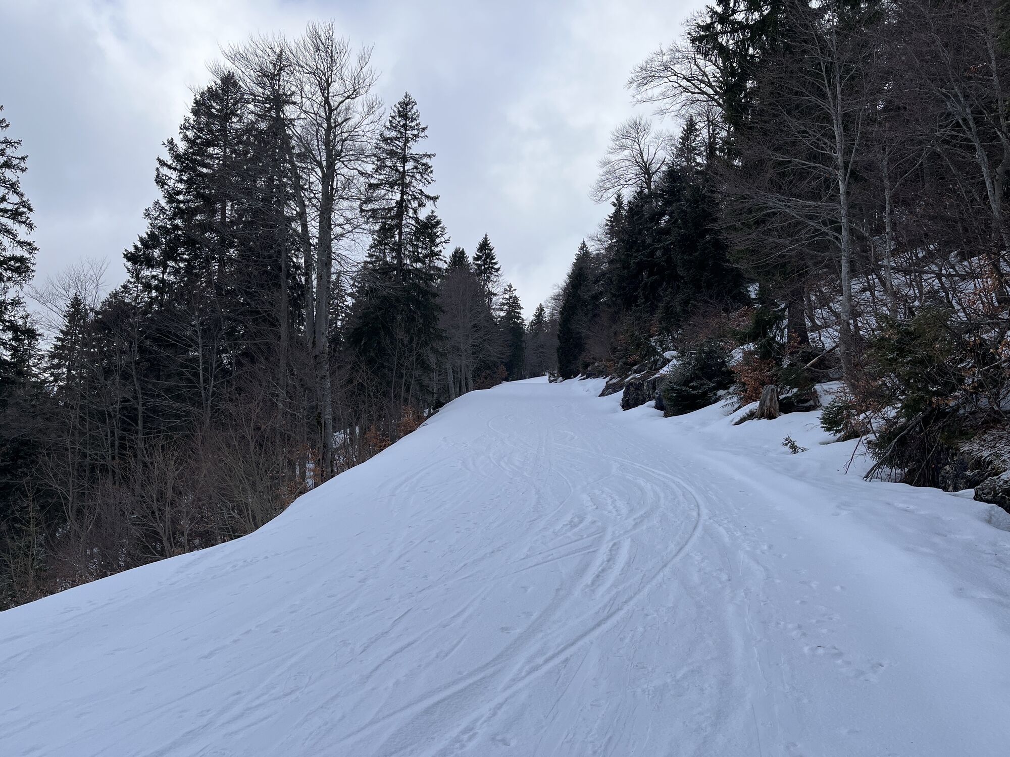
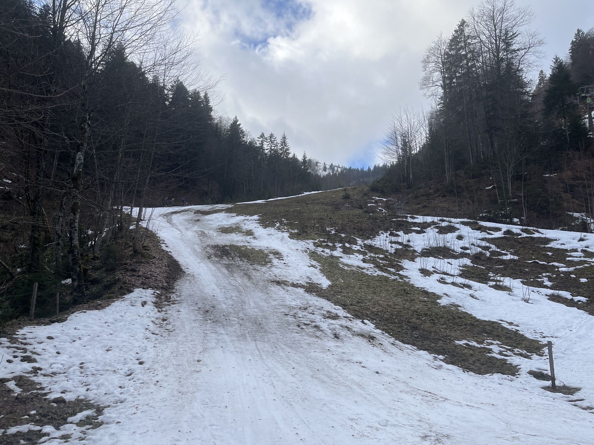
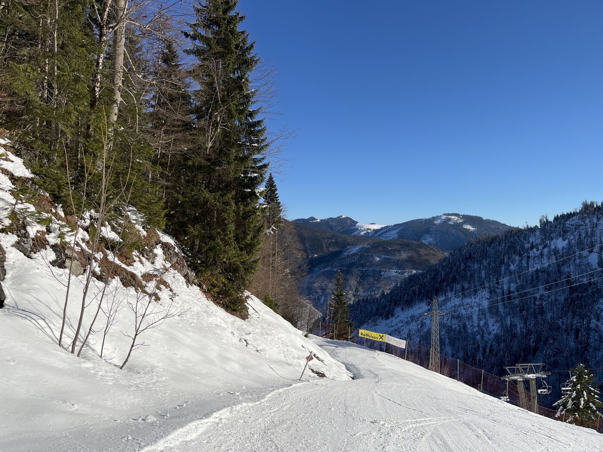
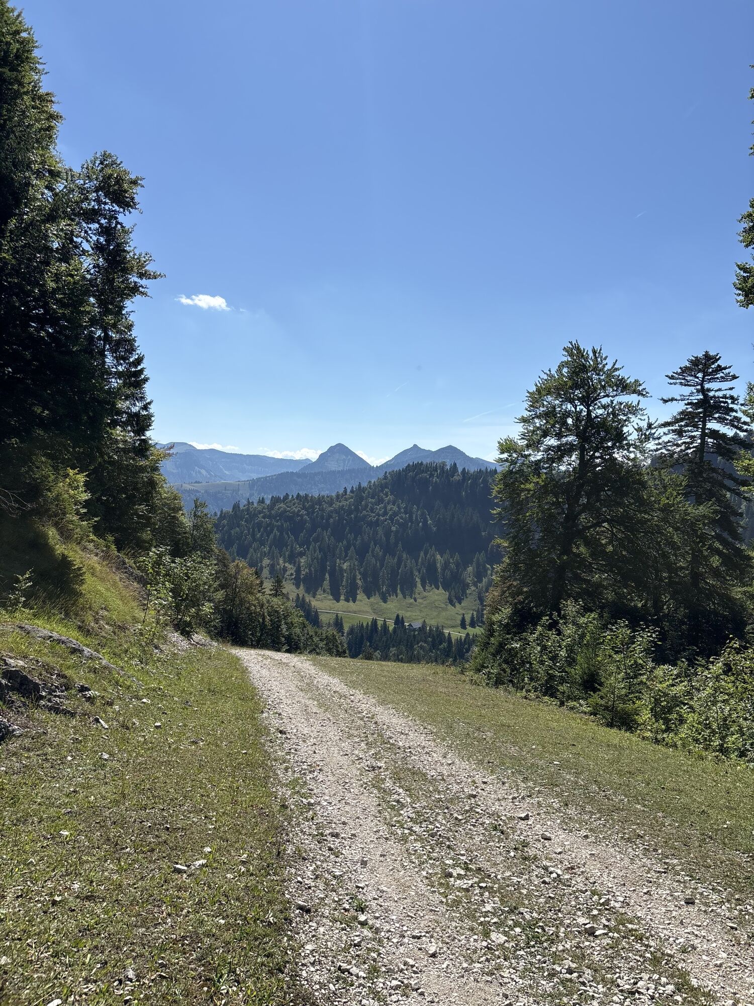
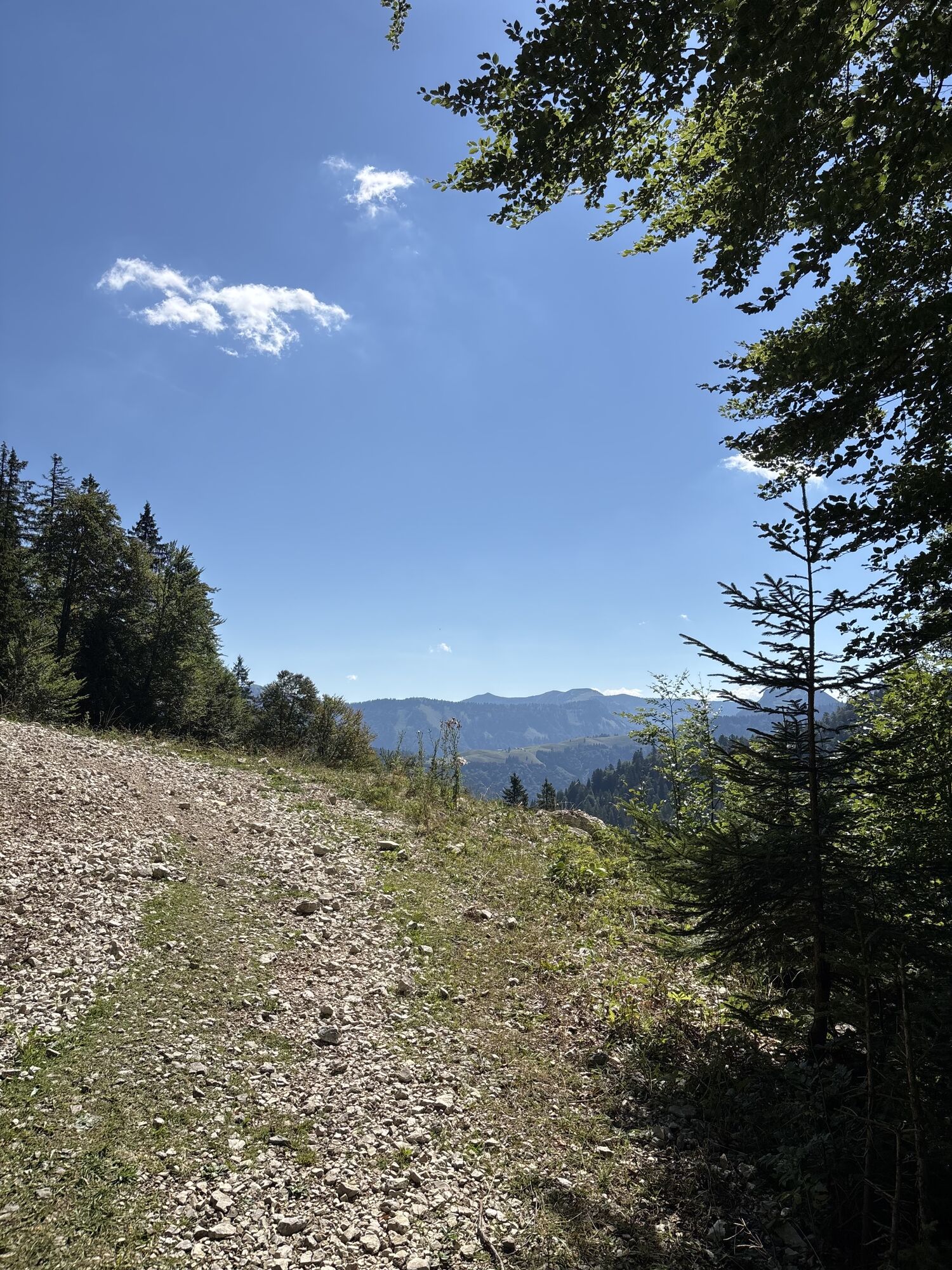
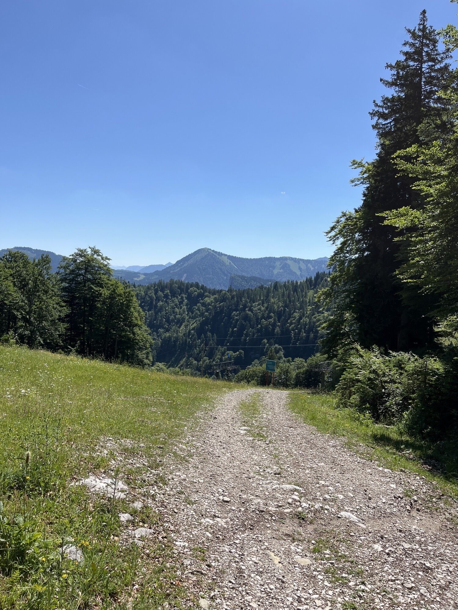
The Osterhorn group is very well known among ski tourers far beyond the borders for its diverse tours close to the city. The route leads along the ski slope to the summit of Anzenberg. The descent follows...
The Osterhorn group is very well known among ski tourers far beyond the borders for its diverse tours close to the city. The route leads along the ski slope to the summit of Anzenberg. The descent follows the same route as the ascent.

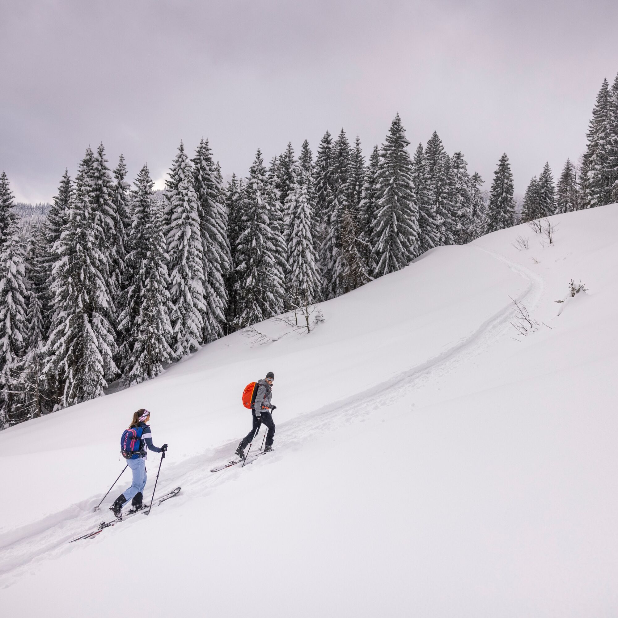
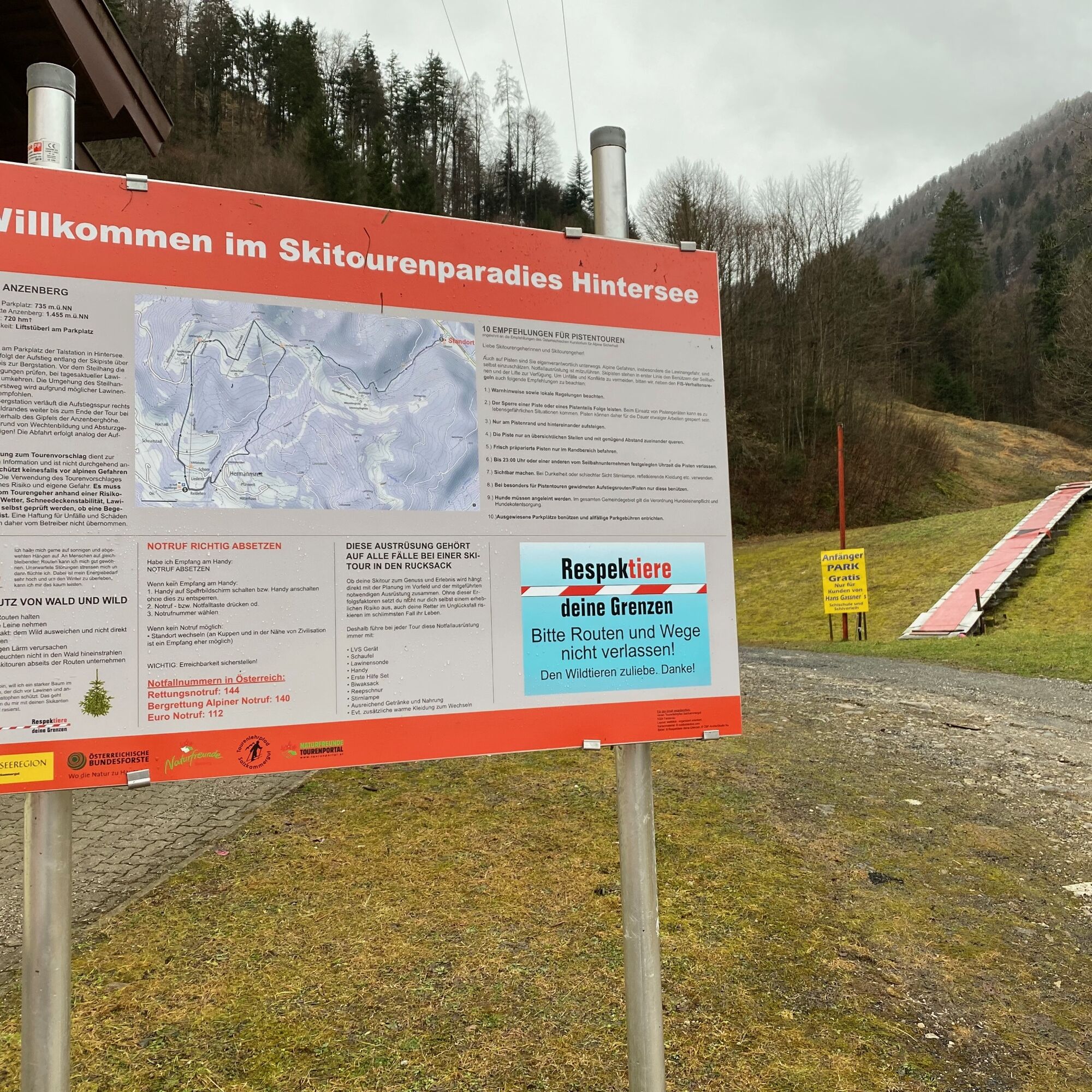

The tour starts at the parking lot of the valley station in Hintersee. From here, the ascent follows the ski slope over the steep slope to the top station. Check the current conditions before the steep slope; please turn back in case of current avalanche danger. Avoiding the steep slope on the forest road is not recommended due to possible avalanche releases. Directly in front of the top station, the ascent trail continues to the right along the forest edge to the end of the tour at the lift hut below the summit of Anzenberghöhe. Do not climb the summit due to cornice formation and risk of falling! The descent follows the same route as the ascent trail.
Whether your ski tour becomes an enjoyment and experience depends directly on the planning in advance and the necessary equipment carried along. Without these success factors, you not only expose yourself to considerable risk, but also your rescuers risk their lives in the worst case during an accident.
Therefore, always carry this emergency equipment on every tour:
• Avalanche transceiver
• Shovel
• Avalanche probe
• Mobile phone
• First aid kit
• Bivouac sack
• Rope
• Headlamp
• Sufficient drinks and food
• Possibly additional warm clothing to change
The choice of the tour proposal serves as basic information. It does not protect against alpine dangers and avalanches. The use of the tour proposal is at your own risk and danger. The tourer must check on the day based on a risk assessment (weather, snowpack stability, avalanche warning level) whether an ascent is possible. No liability for accidents and damages of any kind is therefore assumed by the creator.
Round trip with the winter bus from Salzburg to the valley station in Hintersee free of charge for practicing winter sports.
At the parking lot of the valley station in Hintersee
Prices & details about parking

Spletne kamere s turneje
Pridobite vpogled
Vedno v živo na mestu z več kot 9.500 spletnimi kamerami. bergfex Kot uporabnik Pro si lahko zdaj ogledate ustrezne spletne kamere za številne izlete v aplikaciji izleti iz. Tako si lahko neposredno ogledate trenutne razmere.
Priljubljeni izleti v okolici
-
4.0
Bärenweg am Lidaun
svetlobaPohodništvo 9.05 km -
4.7
Schwarzer Berg / Golling
srednjaPohodništvo 2.54 km -
4.8
Fuschl: Ruine Wartenfels - Schober - Frauenkopf
srednjaPohodništvo 7.62 km -
4.4
Fuschlseewanderung
svetlobaPohodništvo 11 km -
4.2
Pillstein Panorama Rundweg
svetlobaPohodništvo 3.40 km -
4.7
Pleasure hike over the Falkenstein
srednjaPohodništvo 9.81 km -
4.8
Great and Small Barmstein, the landmarks of Hallein
težkoPohodništvo 6.58 km -
4.6
The Plombergstein: Adventure and summit panorama
svetlobaPohodništvo 4.12 km -
4.4
From Koppl to the Gaisberg summit
srednjaPohodništvo 9.86 km -
4.4
Hike to the Kleiner Barmstein via the Thürndl ruin
srednjaPohodništvo 4.20 km
Pohodništvo in sledenje


Ne zamudite ponudb in navdiha za naslednje počitnice
Vaš e-poštni naslov je bil dodan na poštni seznam.





