


From Gaißau Krispl to Ochsenberg and Eibleck


The Ochsenberg (1,483 m) and the southwest neighboring Eibleck (1,517 m) near the Gaissau winter sports center feature ideally inclined slopes alternating with light mixed forests, manageable avalanche...
The Ochsenberg (1,483 m) and the southwest neighboring Eibleck (1,517 m) near the Gaissau winter sports center feature ideally inclined slopes alternating with light mixed forests, manageable avalanche danger, and a short approach from the central area. Additionally, Gaissau enjoys the rather beneficial reputation for winter sports of being a real snow hole. It may well be that the farmers sometimes find the commotion too much. They provide parking spaces and meadows, but it is not always adequately appreciated. All the more reason to take the bus as a sensible sign of relaxation. At least on school days during the week, this works quite well with bus 451 from Hallein station and bus 452 from Adnet Sulzenbachmühle to the perfect ski touring starting point at the Gaißau-Strub bus stop.

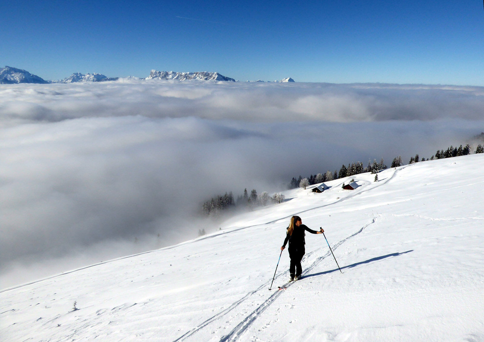

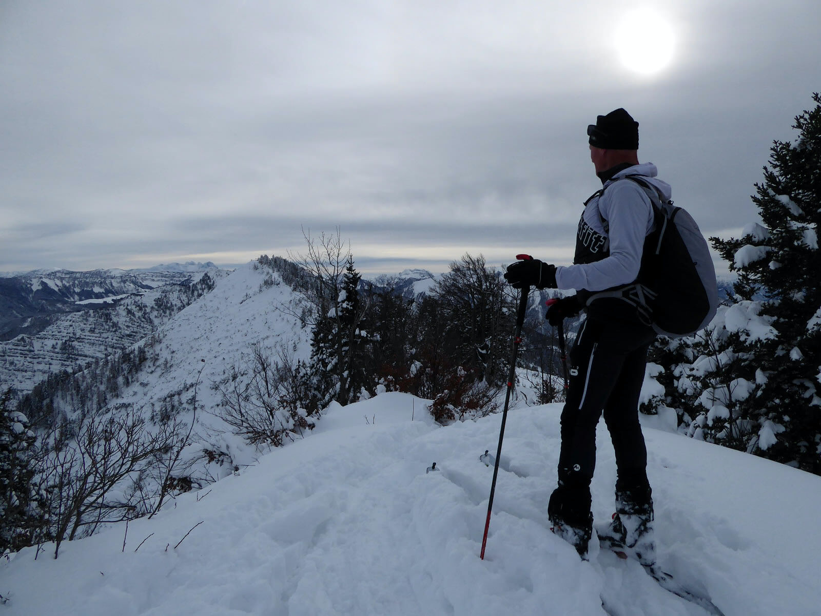
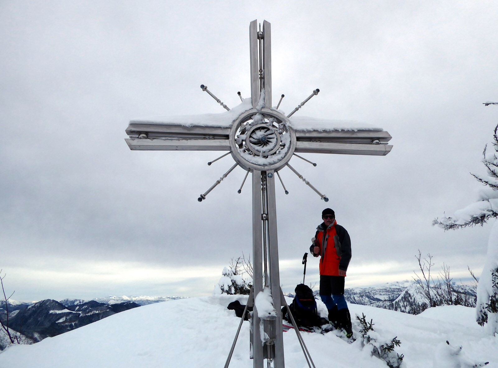
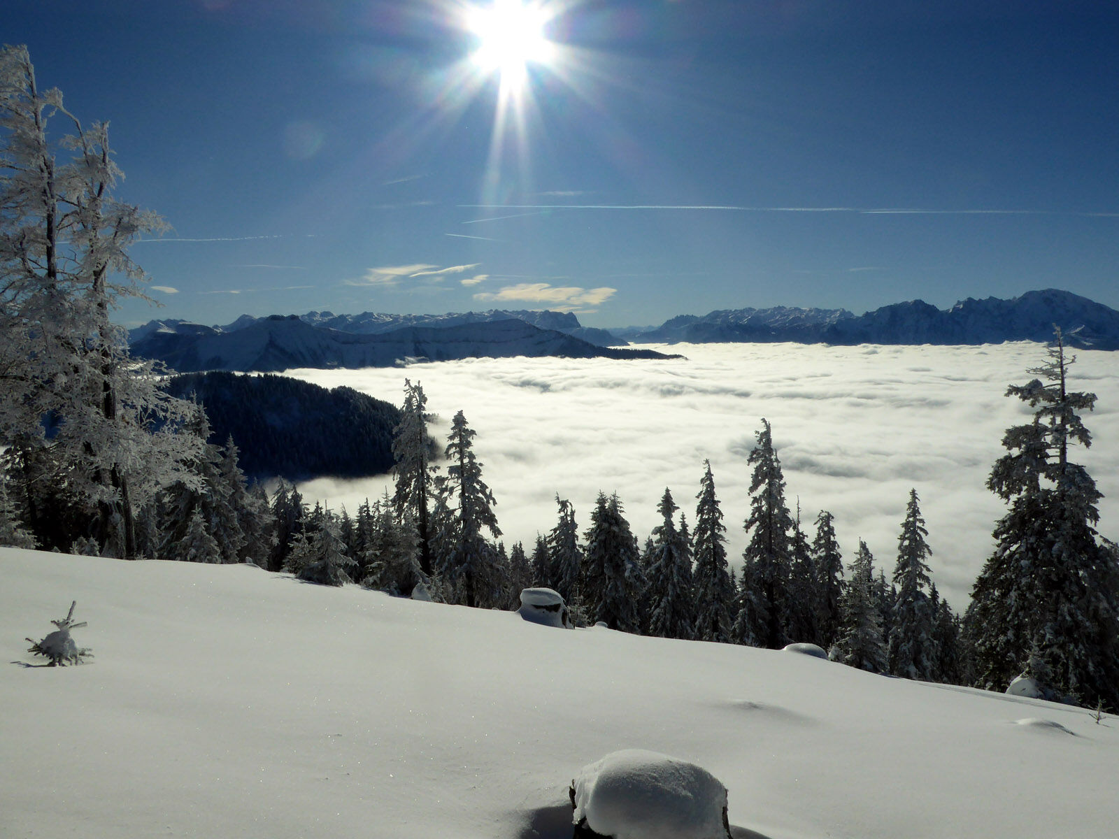

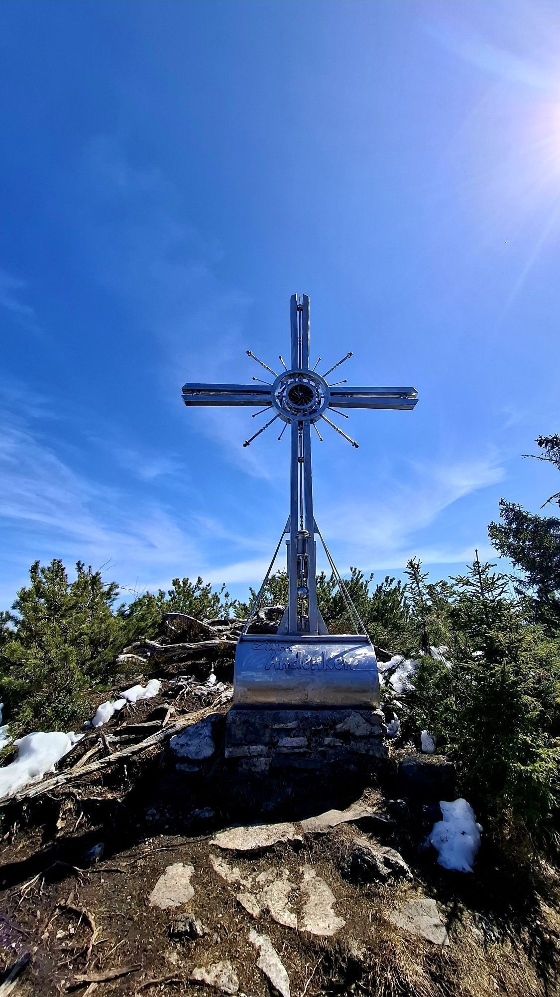
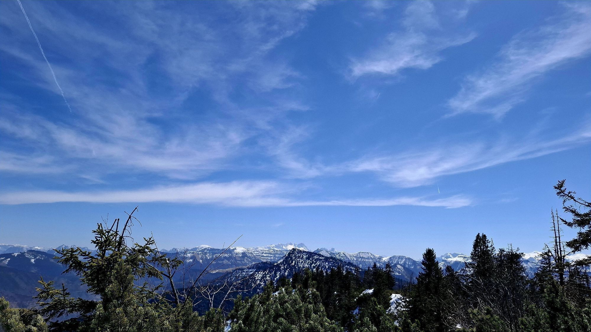
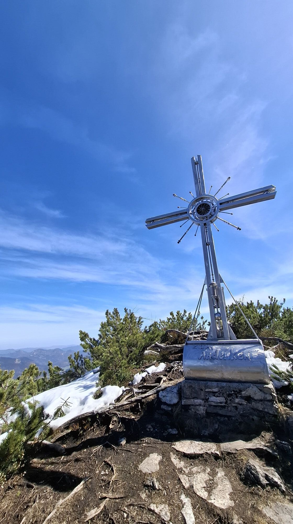
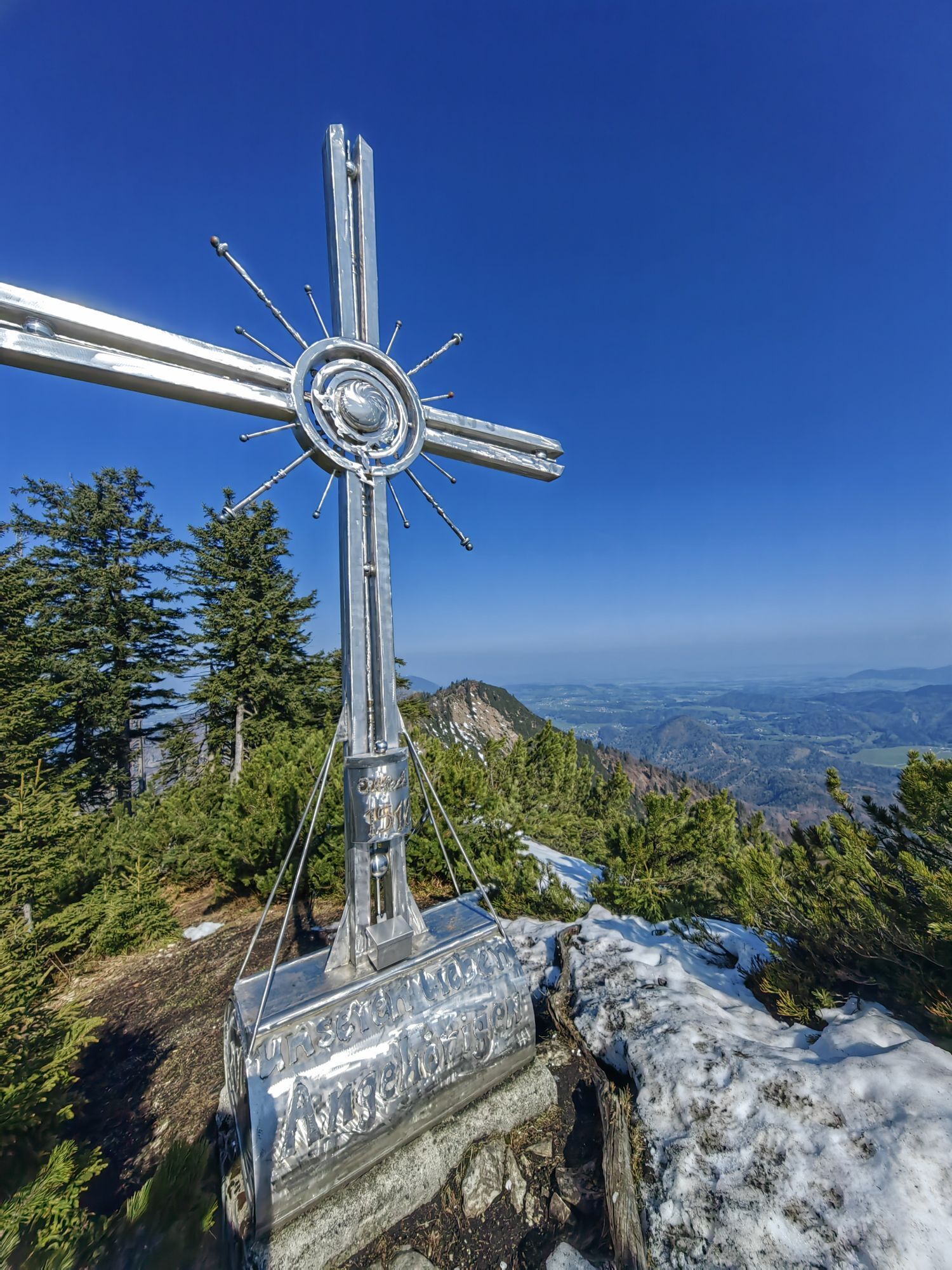
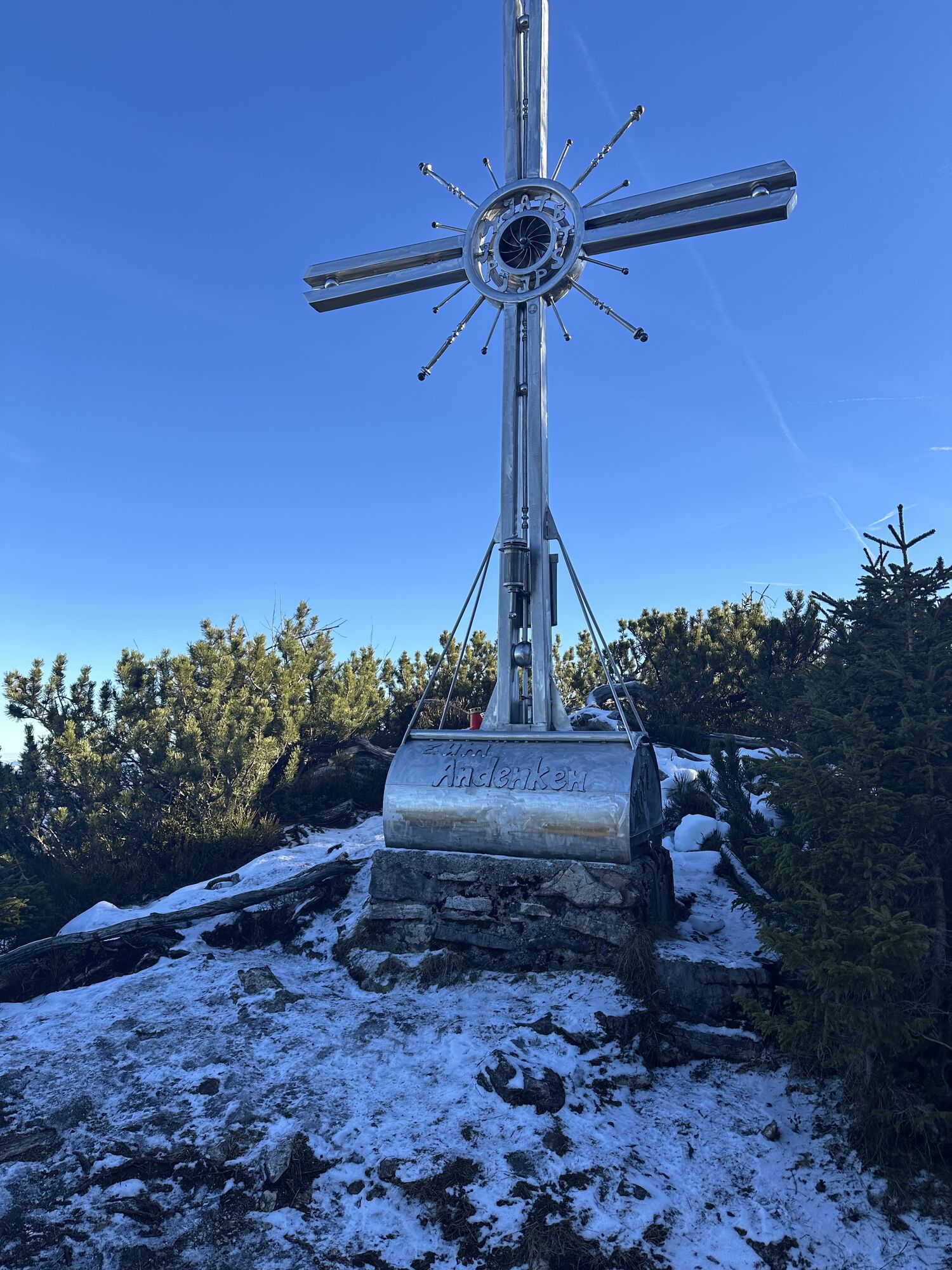
From the Gaißau Strub bus stop, the first meters pass over the radically reduced parking lot at the beginning of Spielbergstraße. After the first bend, skis can already be put on. The ascent track runs through the corner onto the now more gently rising slope. At the upper boundary, a no-entry sign directs ski tourers to the right; the destination after a total of one hour is the small toll station on Spielbergstraße. The trail branches off to the left according to the "Ochsenberg" signs, crosses the open slope, and then follows the service road through the forest for the next 2 km to the clearing in front of the Eibleckalm. The direct ascent to the Eibleck runs up the moderately steep slope immediately to the right. Those who want to visit the skiers less rewarding but wonderfully panoramic Ochsenberg first walk past the alpine pasture and then pull to the right onto the long ridge. The northwesternmost point is the Ochsenberg. The ridge continues to the Eibleck cross, in whose hollow foundation a high-proof secret awaits. Depending on snow and avalanche conditions, the descent leads over the alpine meadows or through the adjacent forest to the service road and along it further.
Da
Information on weather and avalanche conditions at www.lawine.salzburg.at
From Hallein station (west side) take bus 451 to Adnet Sulzenbachmühle and bus 452 to Gaißau Strub. Return from Gaißau Strub with bus 452 to Adnet Sulzenbachmühle or to Gaißau Orttsmitte and with bus 450 to Hallein station (west side).
Schedule information and downloads: Online at www.salzburg-verkehr.at or on your smartphone via the free Salzburg Verkehr app for Android and iOS.
Mag. Christian Heugl
5400 Hallein
christian.heugl@gmail.com
Image credit: Christian Heugl
An alternative descent follows the ridge from the Eibleck southwestwards towards Kallersberg and branches off to the right onto the service road at a suitable spot.
Priljubljeni izleti v okolici
-
4.6
Schwarzer Berg / Golling
srednjaPohodništvo 2.54 km -
4.8
Fuschl: Ruine Wartenfels - Schober - Frauenkopf
srednjaPohodništvo 7.62 km -
4.2
Fuschlseewanderung
svetlobaPohodništvo 11 km -
4.1
Pillstein Panorama Rundweg
svetlobaPohodništvo 3.40 km -
4.2
Untersberg, Toni-Lenz-Hütte
Pohodništvo 4.86 km -
4.5
The Plombergstein: Adventure and summit panorama
svetlobaPohodništvo 4.12 km -
4.4
From Koppl to the Gaisberg summit
srednjaPohodništvo 9.86 km -
4.8
Schober -Aussichtsplattform mit Seensicht
težkoPohodništvo 2.65 km -
4.8
Salzkammergut: Die Drachenwand
težkoVia ferrata 4.32 km -
4.3
Hike to the Kleiner Barmstein via the Thürndl ruin
srednjaPohodništvo 4.20 km
Pohodništvo in sledenje


Ne zamudite ponudb in navdiha za naslednje počitnice
Vaš e-poštni naslov je bil dodan na poštni seznam.