







Ascent route Shuttleberg
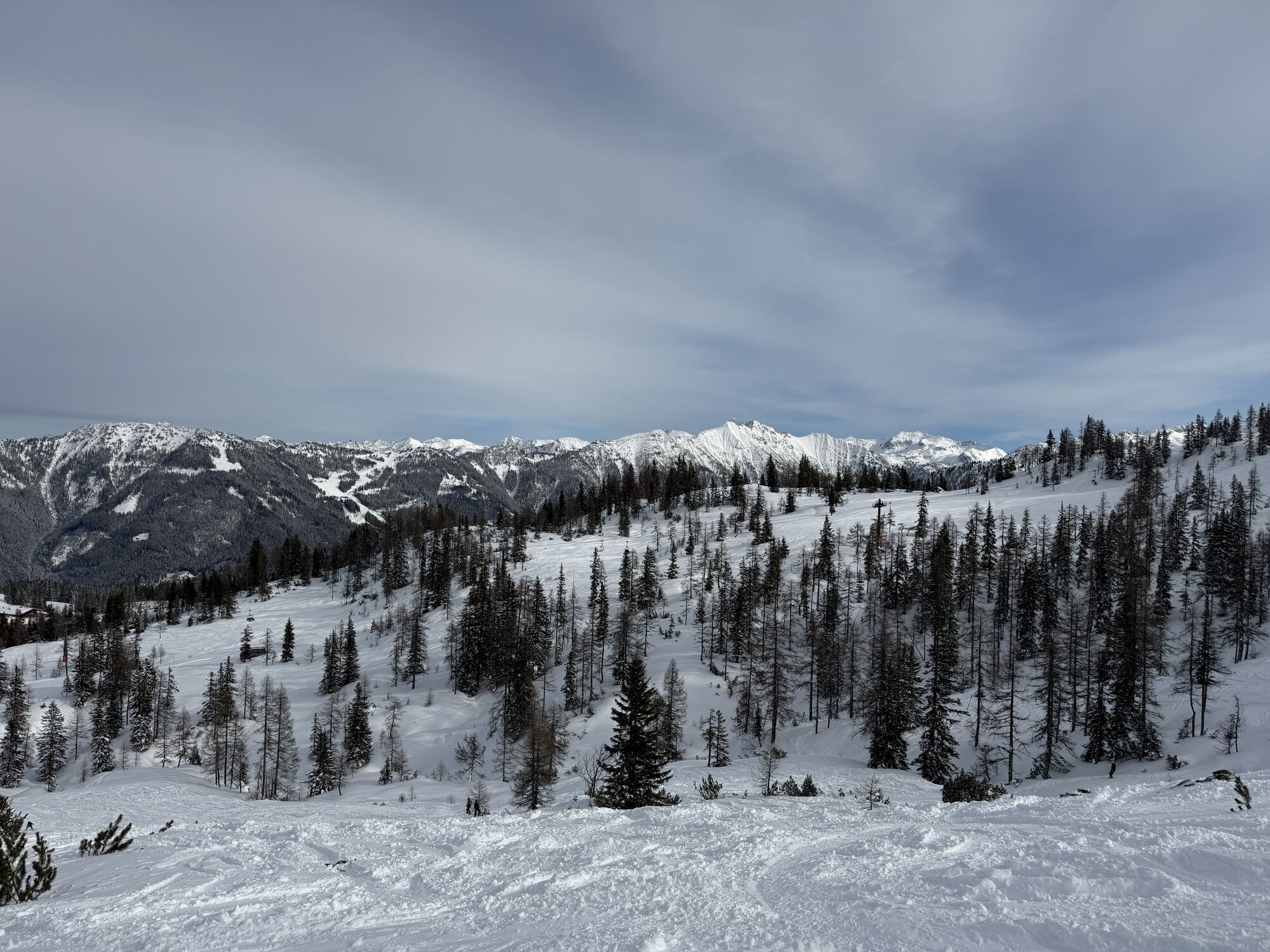
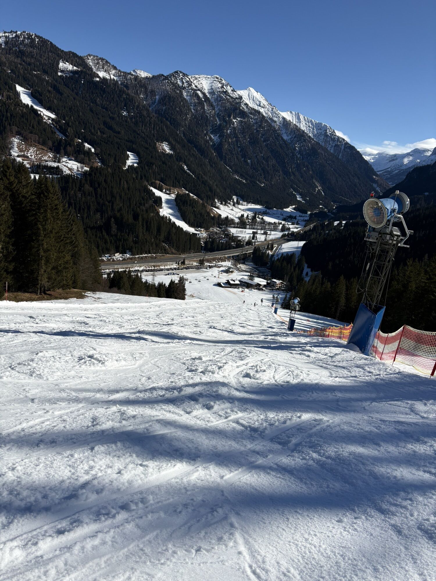
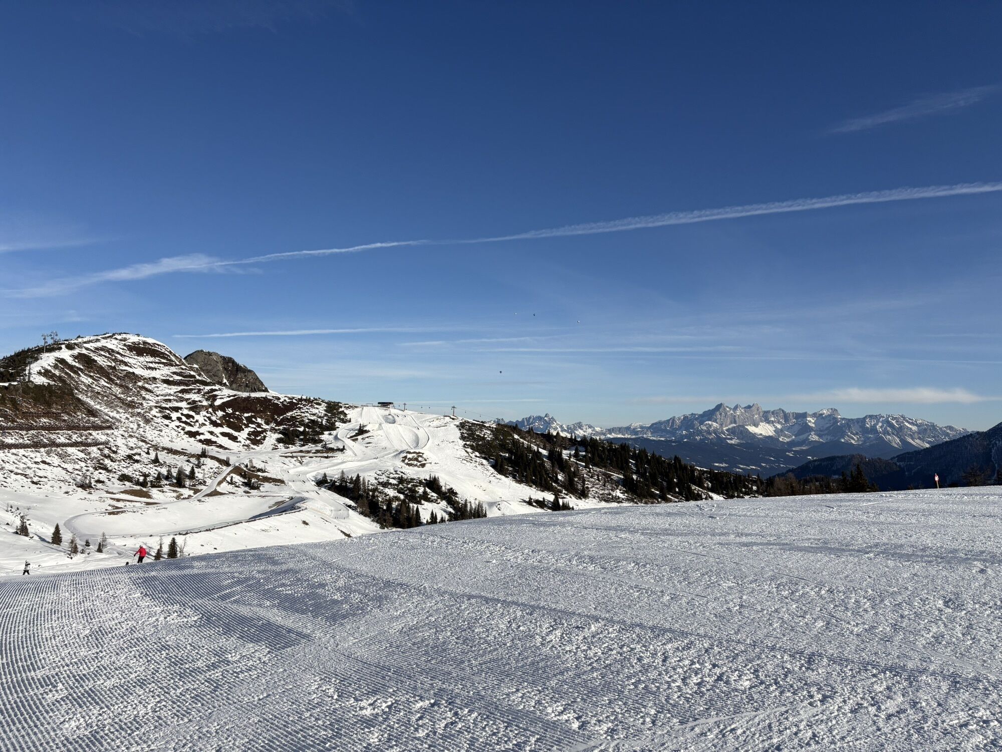
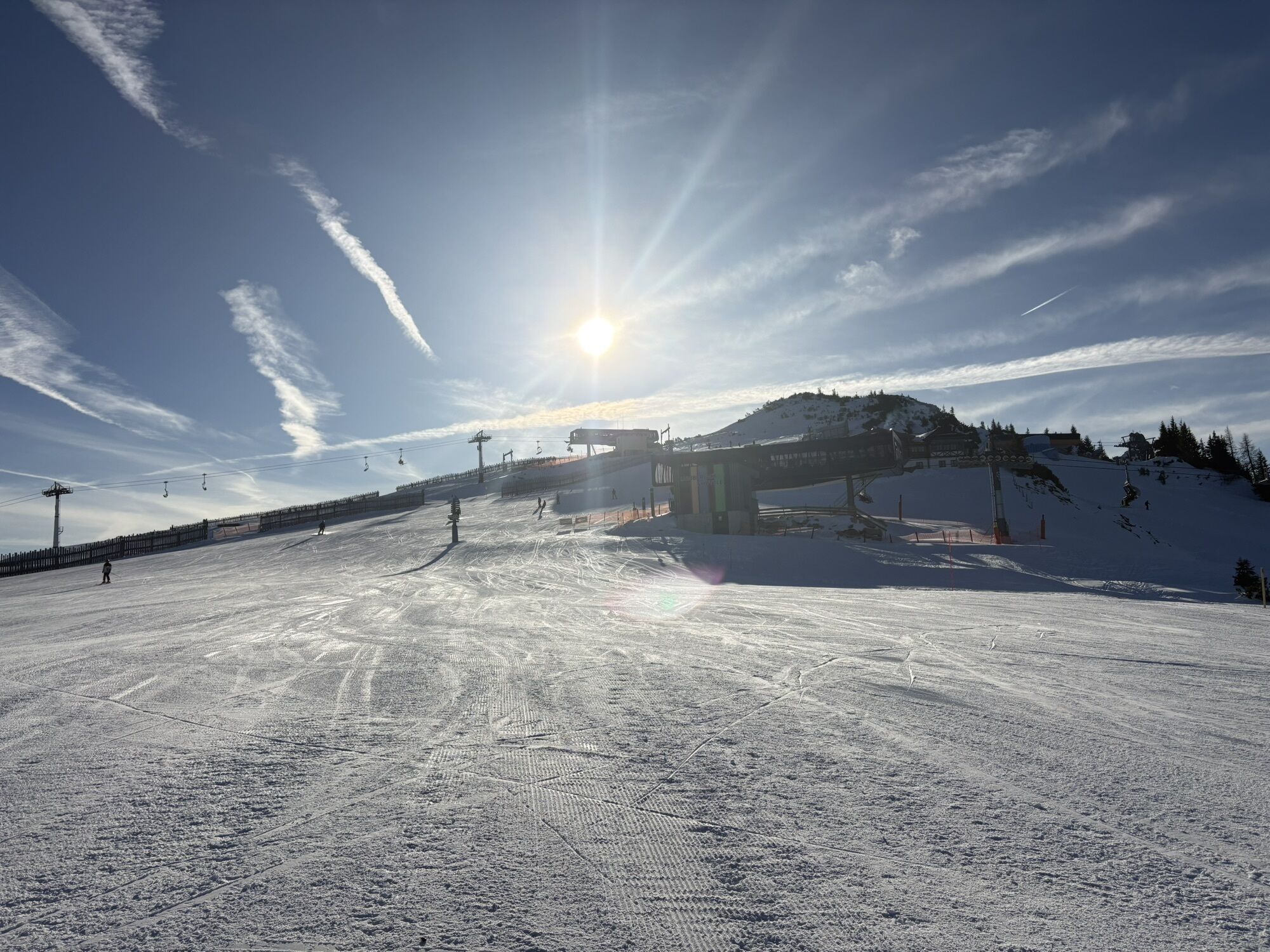
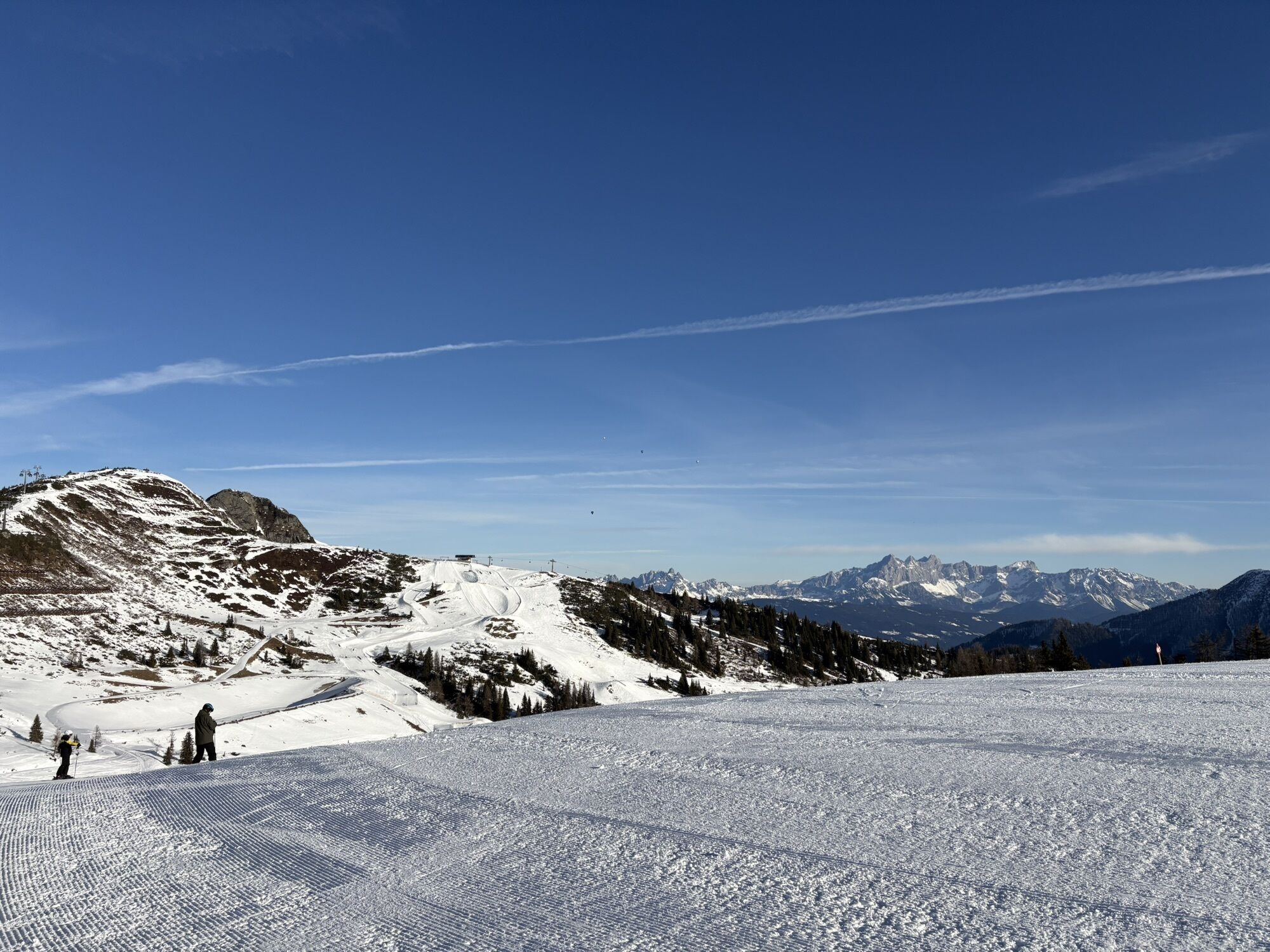
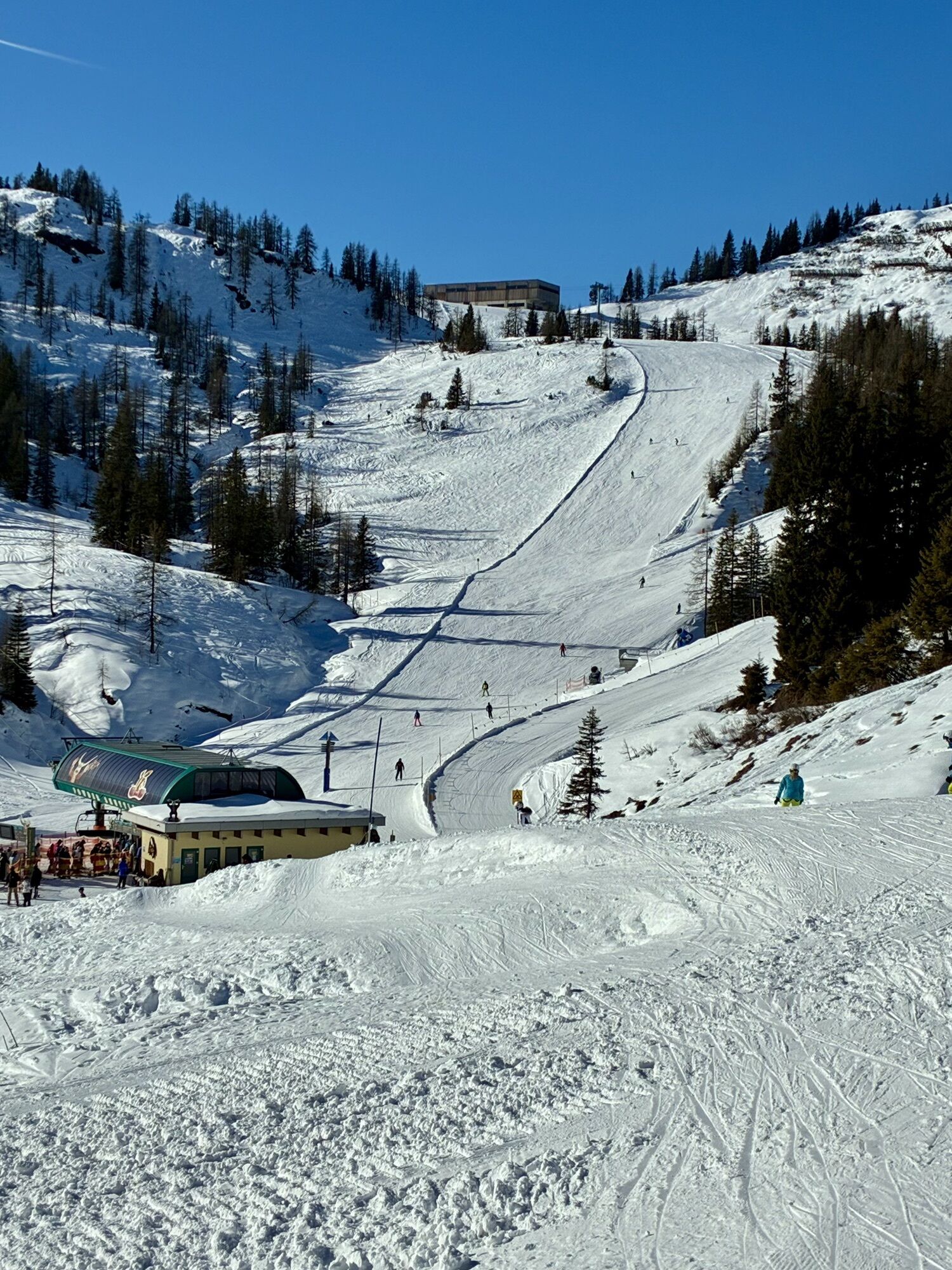
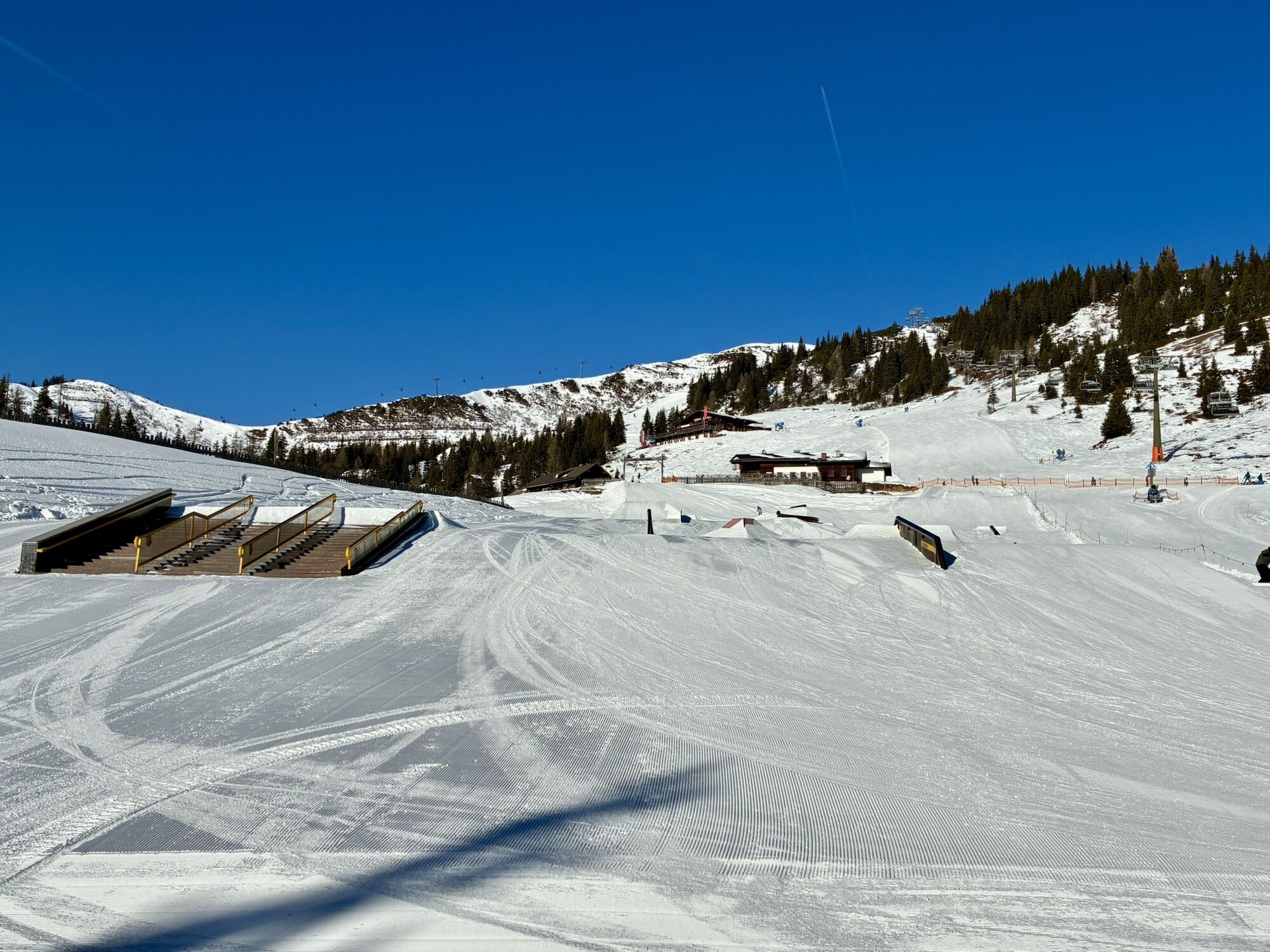
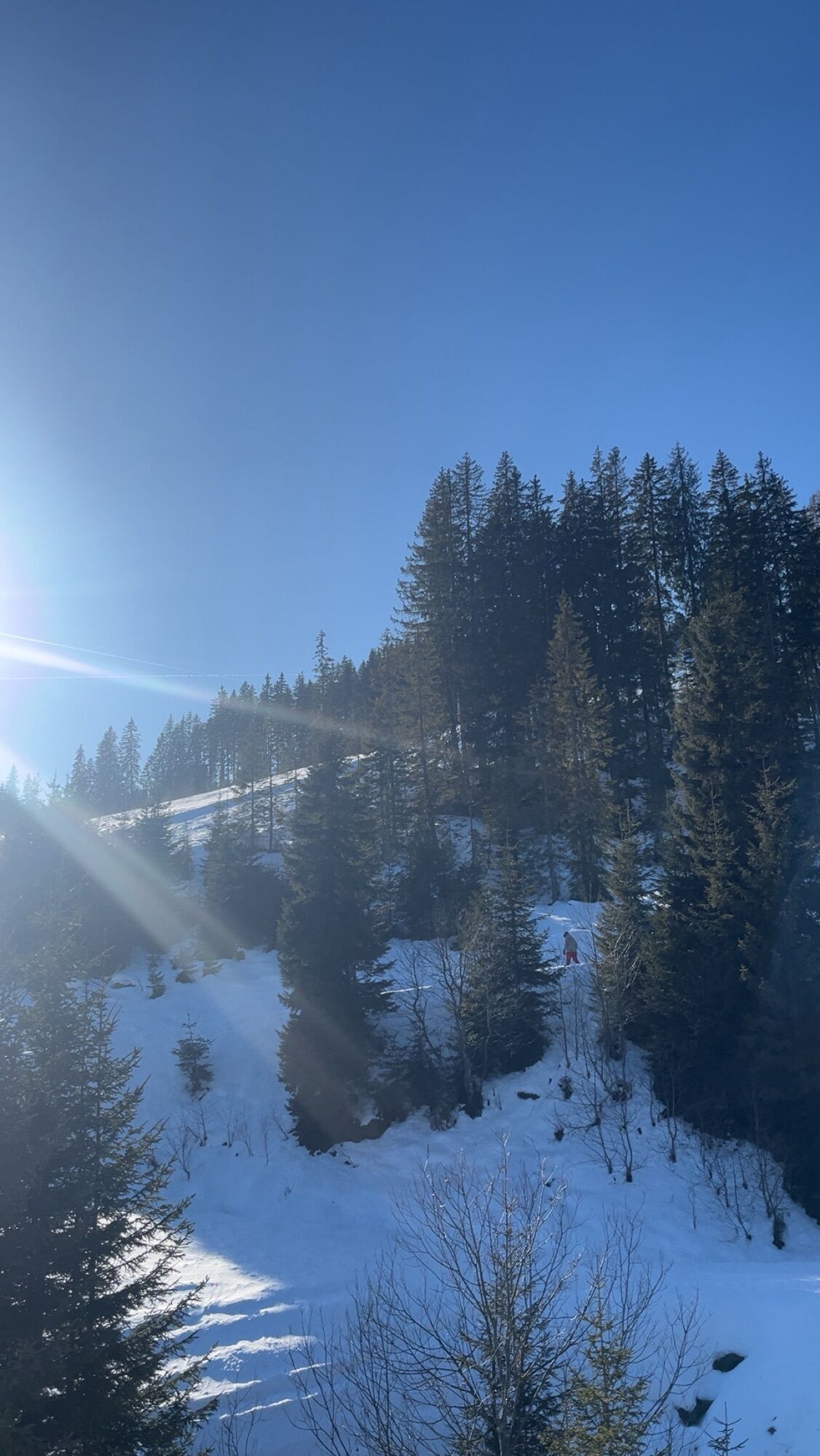
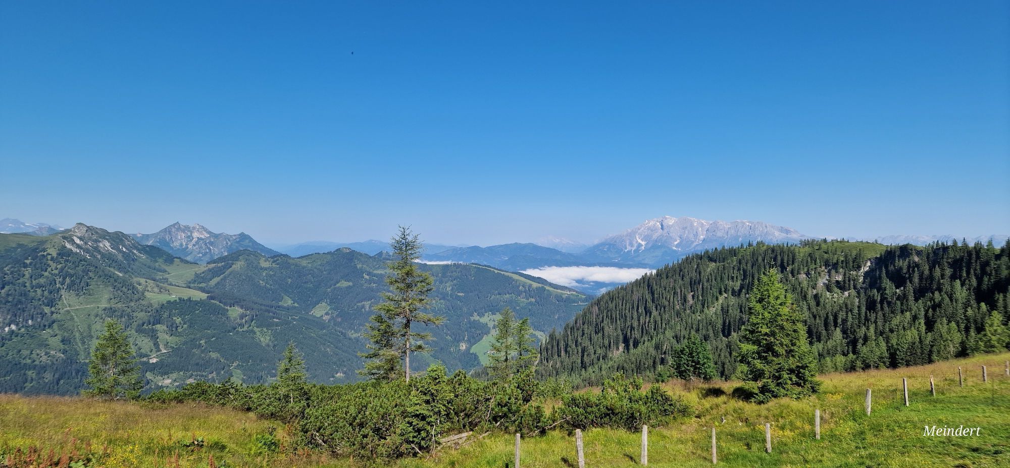
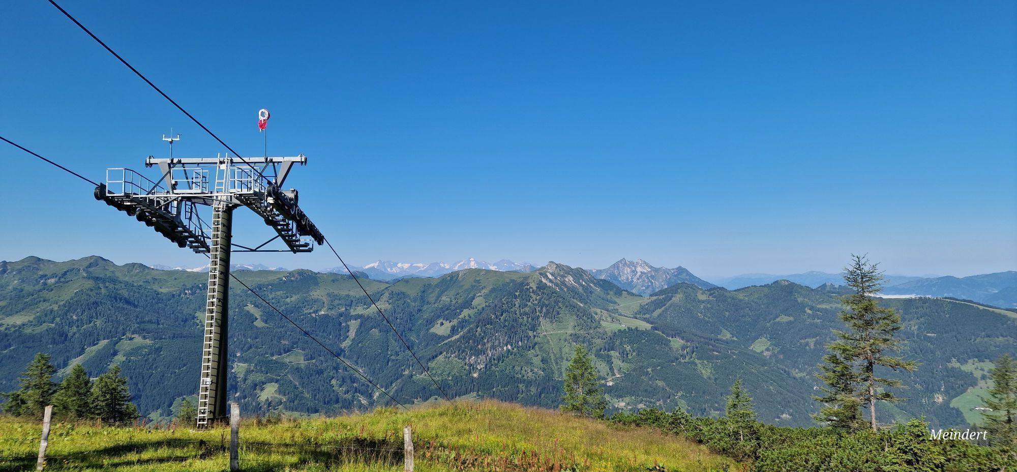
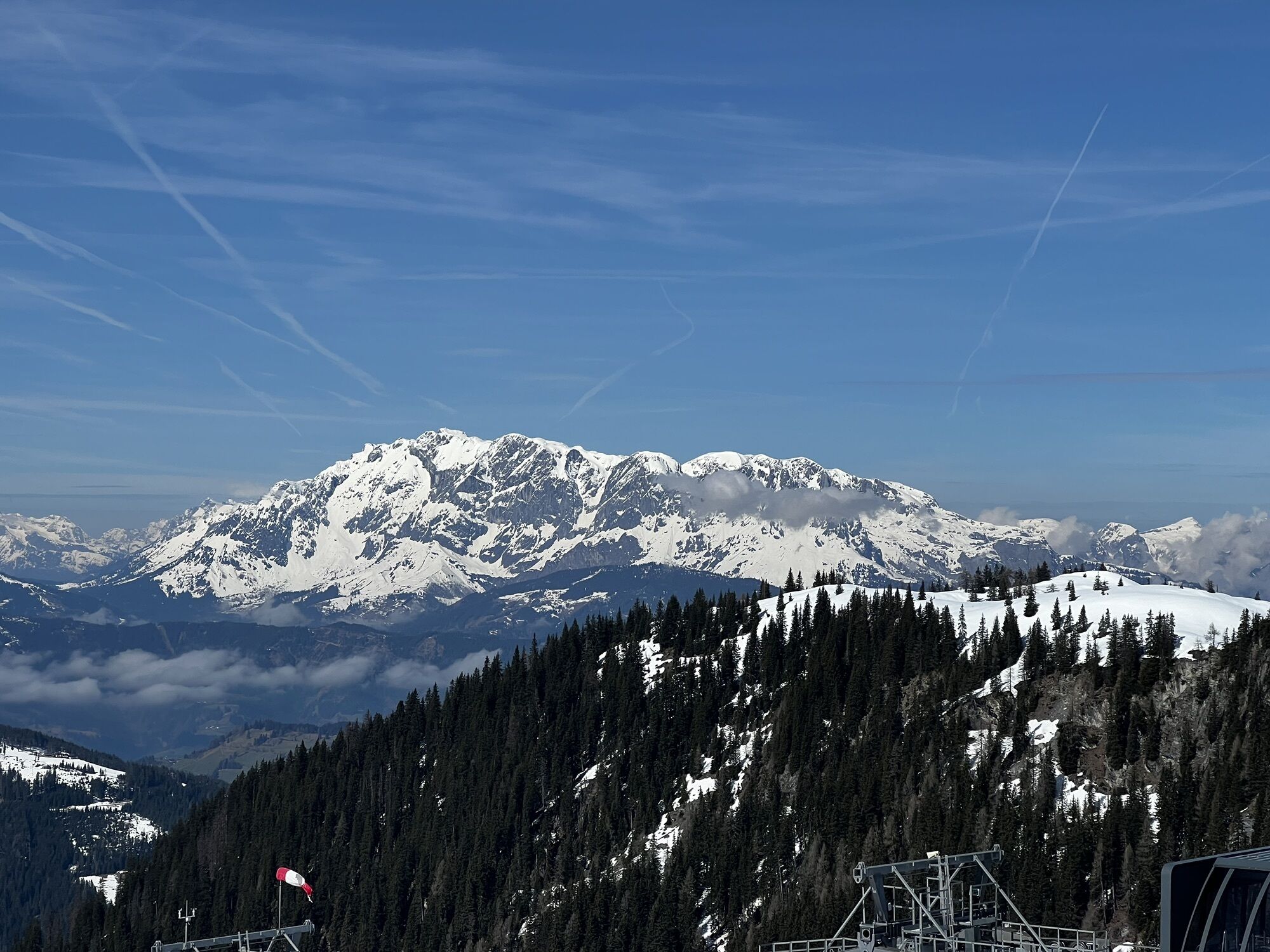
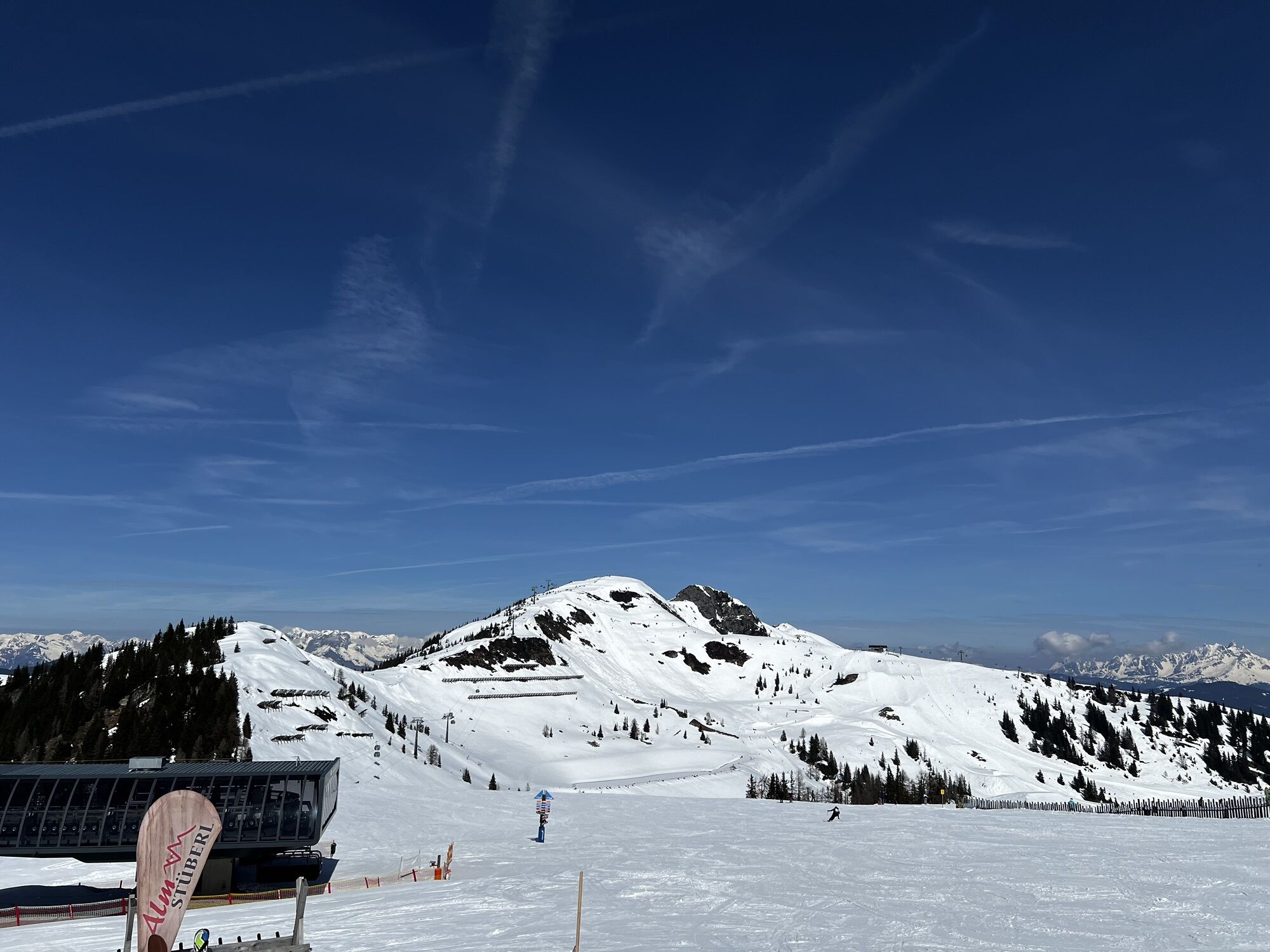
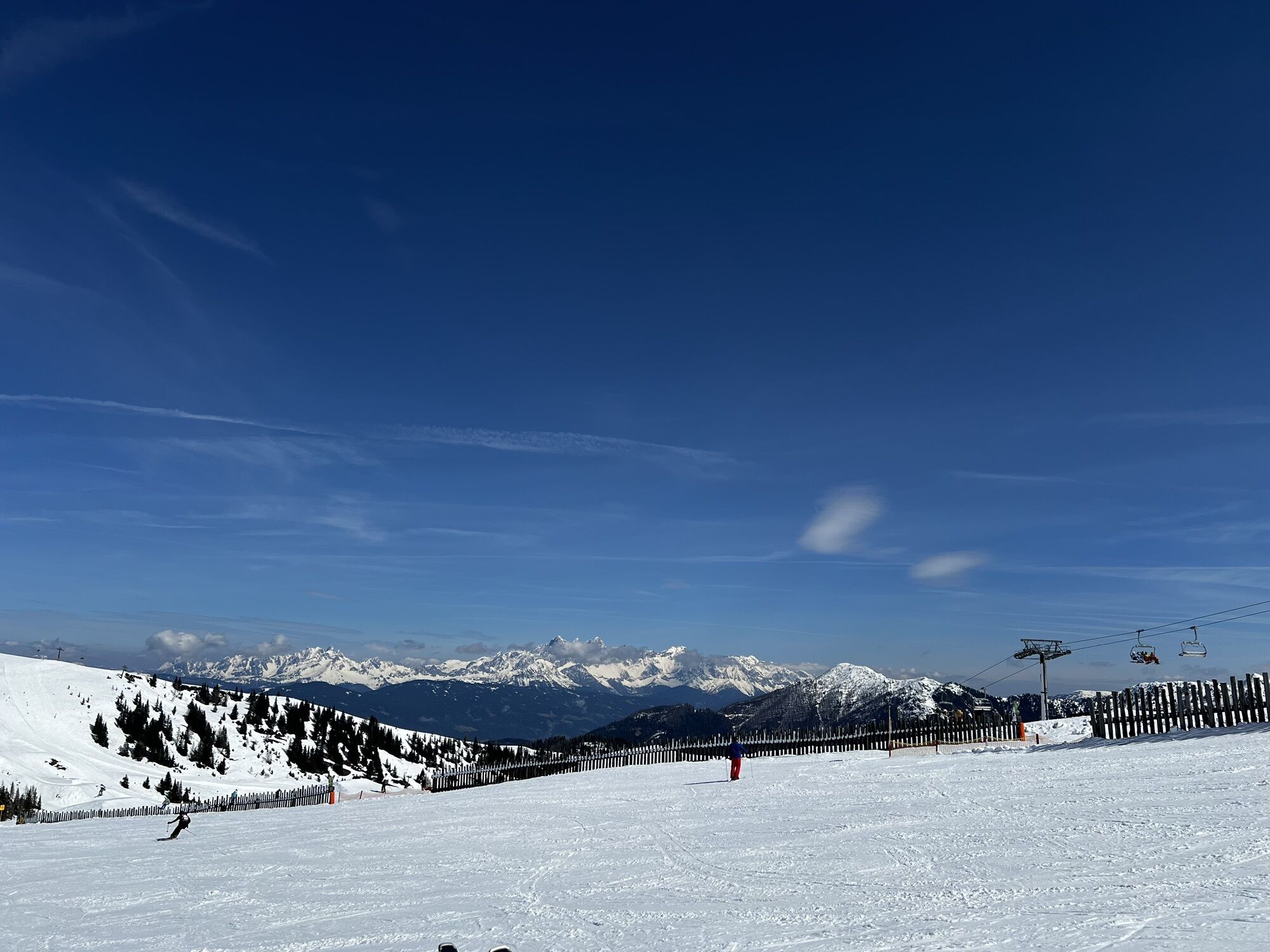
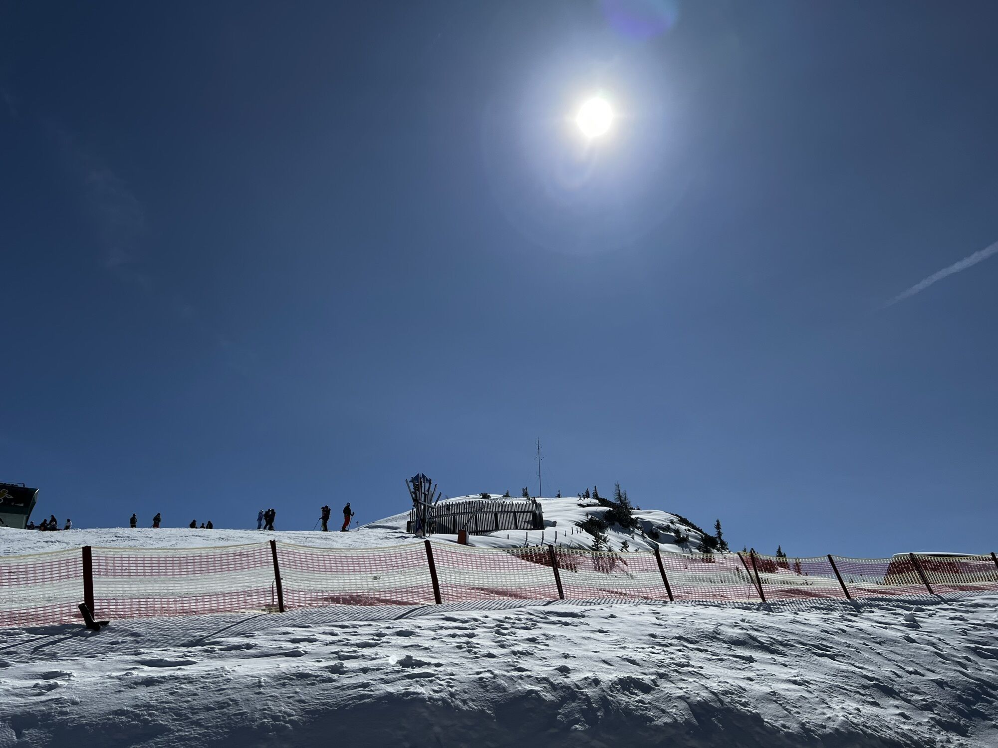
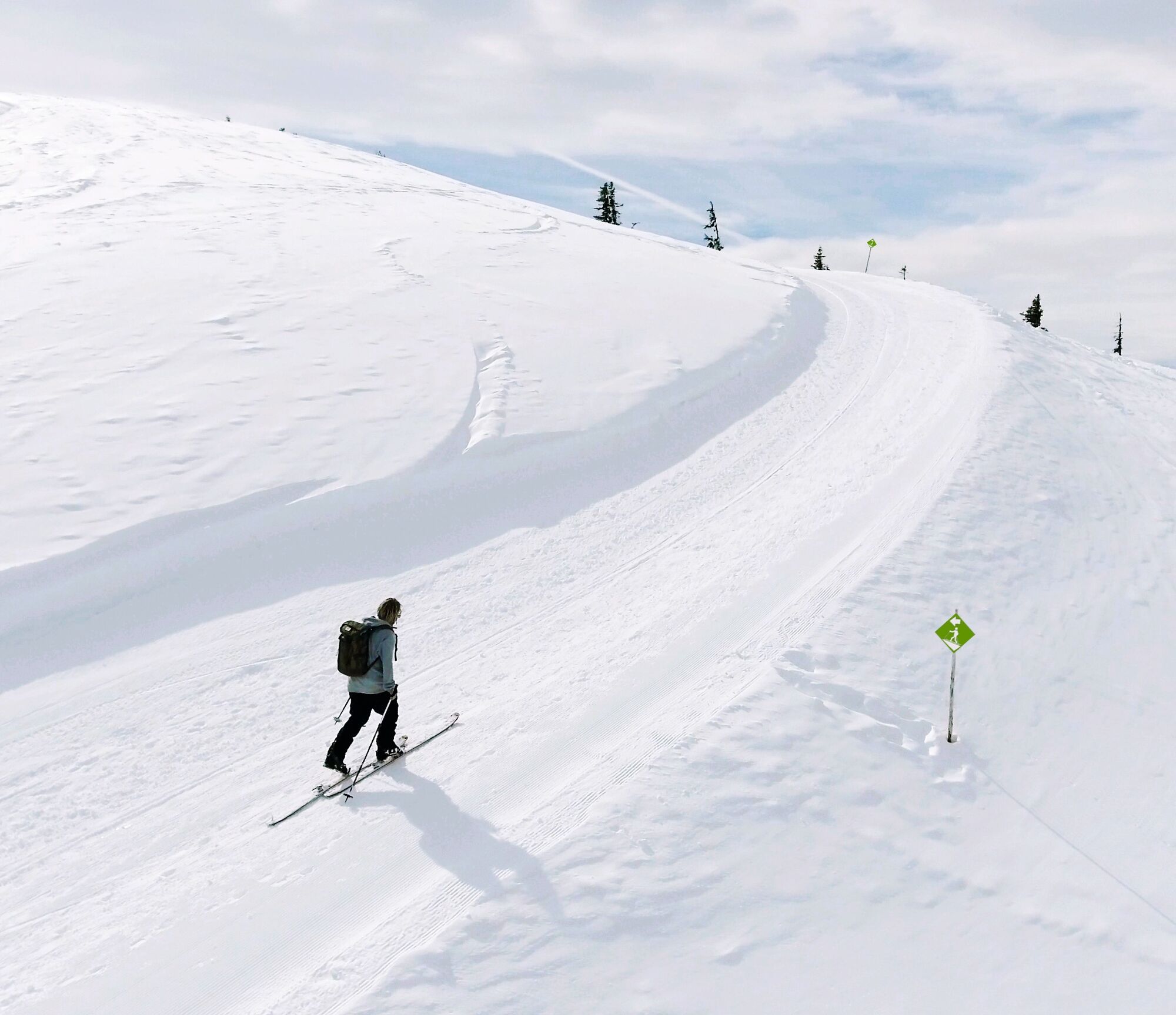
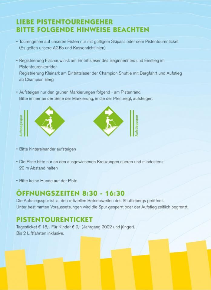
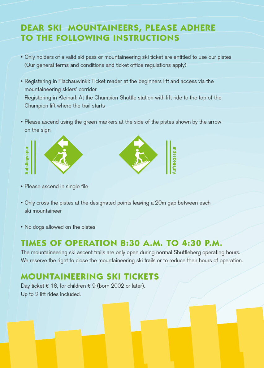
The ascent trail is located at the edge of the piste and is marked with signboards visible both to ski tourers and to downhill skiers and snowboarders. At junctions, special attention is drawn, and crossing...
The ascent trail is located at the edge of the piste and is marked with signboards visible both to ski tourers and to downhill skiers and snowboarders. At junctions, special attention is drawn, and crossing or traversing the piste at non-designated places is not allowed for safety reasons.

Da
Avalanche transceiver, mobile phone, topographic map, multi-layer clothing, change of clothes, sunscreen, sunglasses, snack.
Touring is done exclusively at your own risk. Local conditions must be strictly observed. Please pay attention to the current avalanche report. Before starting a tour, inform someone in the valley of your destination and expected return time. Carrying an avalanche transceiver is strongly recommended.
Avalanche Danger Scale
1 (LOW)An avalanche release is only possible with heavy additional load on very few, extreme steep slopes. No spontaneous avalanches (so-called slides) are expected. Generally safe conditions.
2 (MODERATE)An avalanche release is likely with heavy additional load mainly on the specified steep slopes. Larger avalanches are not expected. The snow cover is generally well consolidated except on some steep slopes. Careful route choice at the specified steep slopes and slope exposures.
3 (CONSIDERABLE)An avalanche release is probable even with slight additional load especially on the specified steep slopes. Occasionally, some medium, sporadically also large avalanches are possible spontaneously. The snow cover is only moderately to weakly consolidated on many steep slopes. Experience in avalanche assessment necessary. Avoid specified steep slopes and slope exposures if possible.
4 (HIGH)An avalanche release is possible even with slight additional load especially on the specified steep slopes. Occasionally, many medium, several large avalanches occur. On many steep slopes the snow cover is weakly consolidated. Route choice should be limited to moderately steep terrain and avalanche run-out zones considered. Much experience in avalanche assessment is necessary.
5 (VERY HIGH)Numerous large avalanches, also in moderately steep terrain, are expected spontaneously. At this warning level, safe operation in ski areas is no longer possible. The snow cover is generally weakly consolidated and unstable. Avoid tours.
Ski Touring Rules
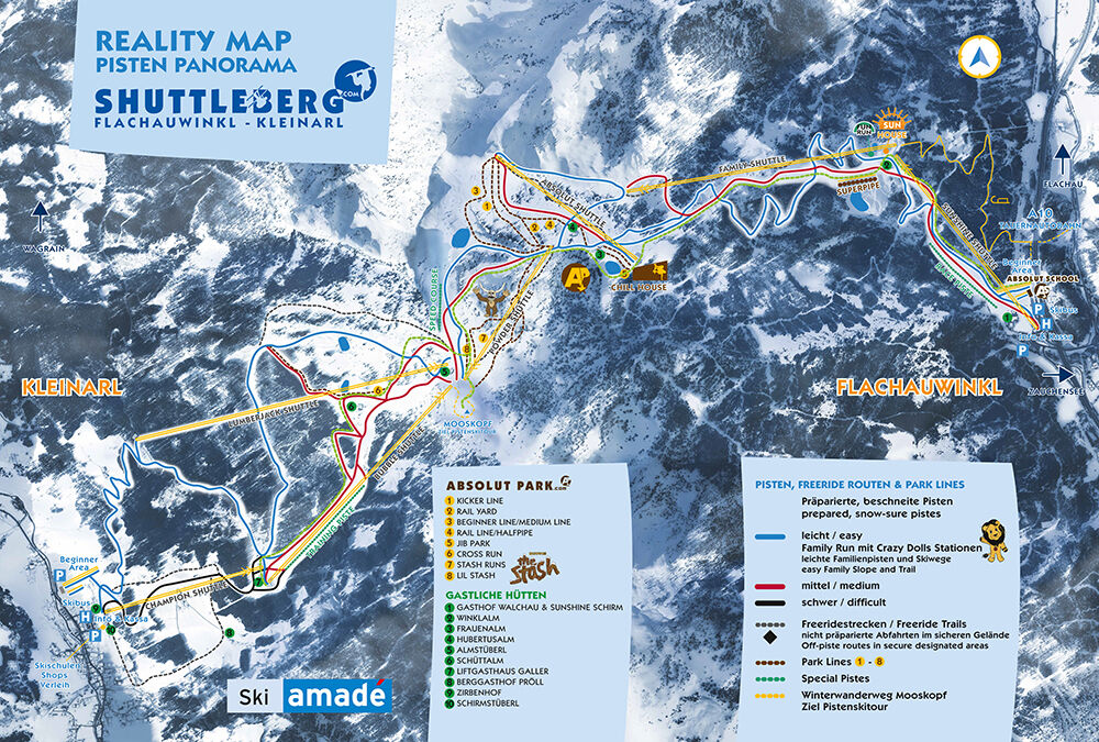
Respect nature and regulations: Observe all regulations during activities in nature and when choosing your route, such as wildlife protection areas, hunting restricted zones, reforestation areas, and information boards. Respect for wildlife: Respect wildlife quiet zones, avoid feeding areas, and avoid loud noise. Crossing forest areas: cross forest areas in winter only on designated paths and routes. Animals react very panicked to unpredictable noise. Behavior towards wildlife: Recognize wildlife habitats and avoid them if possible. Observe wildlife from a safe distance. Dogs must be kept on a leash at all times; it is irresponsible to let dogs run free in winter. Time planning: Plan your route so that you start early enough and return before dusk. In spring, you should be back at the hut by midday to minimize avalanche danger. Avoid reforestation areas: Never travel through reforestation and young growth areas.Via the A 10 Tauern motorway, exit Flachauwinkl, to the Sunshine Shuttle valley station.
This route is accessible by post bus.
Parking lot at the Sunshine Shuttle valley station
More about ski touring in Flachau can be found at: https://www.flachau.com/winter/outdoor-winter/skitouren/
Local weather info: https://www.flachau.com/live/ or www.zamg.ac.at
At the tourist info Flachau you get a hike map with information to this tour.


Spletne kamere s turneje
Pridobite vpogled
Vedno v živo na mestu z več kot 9.500 spletnimi kamerami. bergfex Kot uporabnik Pro si lahko zdaj ogledate ustrezne spletne kamere za številne izlete v aplikaciji izleti iz. Tako si lahko neposredno ogledate trenutne razmere.
Priljubljeni izleti v okolici
-
5.0
Hüttschlag: Karteistörl - Tappenkarsee - Draugsteintörl - Draugsteinalmen
srednjaPohodništvo 13.5 km -
5.0
4-Gipfel-Tour
srednjaGorski pohodništvo 6.40 km -
4.2
Tappenkarsee Kleinarl
srednjaPohodništvo 9.11 km -
4.9
Großarl: Alpine pasture circuit in Ellmautal
srednjaPohodništvo 9.69 km -
5.0
Großarl: Heukareck
srednjaPohodništvo 12.5 km -
4.6
Großarl: Mooslehenalm – Niggeltalalm – Viehhausalm
srednjaPohodništvo 5.44 km -
4.6
Ski route Lackenkogel
srednjaSmučarska tura 7.82 km -
4.8
Obertauern to the Johannes Waterfall
srednjaPohodništvo 9.39 km -
4.9
Großarl: Bichlalm
srednjaMountainbike 18.9 km -
4.7
Großarl: Saukaralm - Saukarkopf - Gerstreitalm
srednjaPohodništvo 9.39 km
Pohodništvo in sledenje


Ne zamudite ponudb in navdiha za naslednje počitnice
Vaš e-poštni naslov je bil dodan na poštni seznam.





