







From Bischofshofen to the Hochkeil
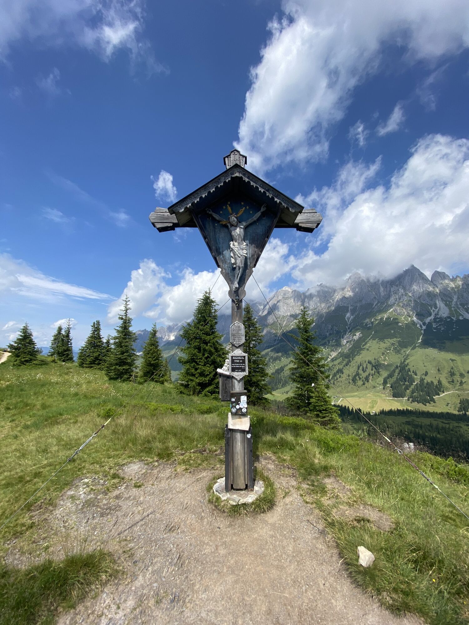
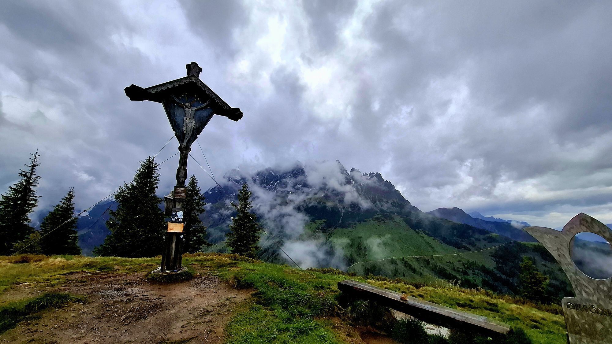
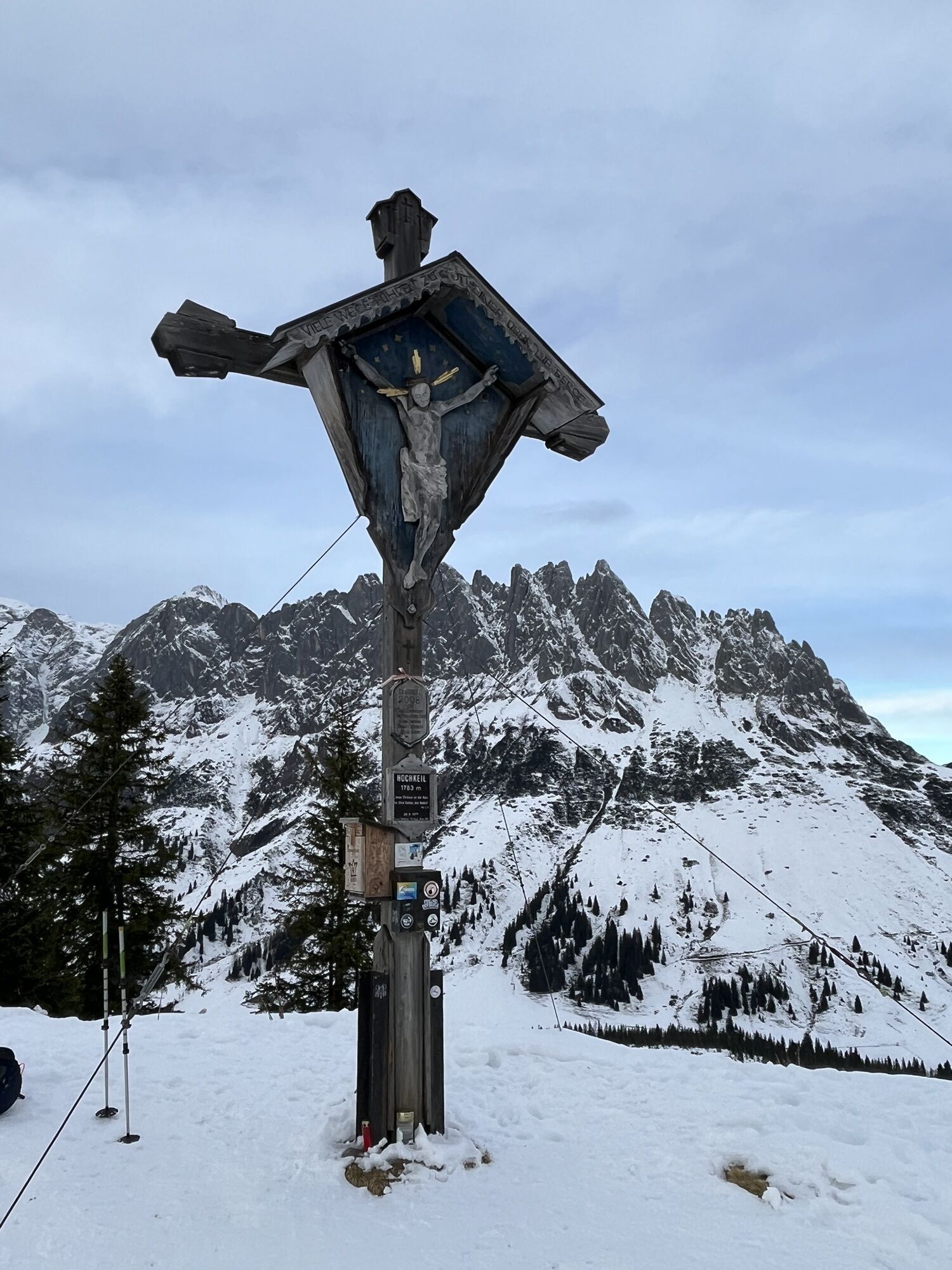
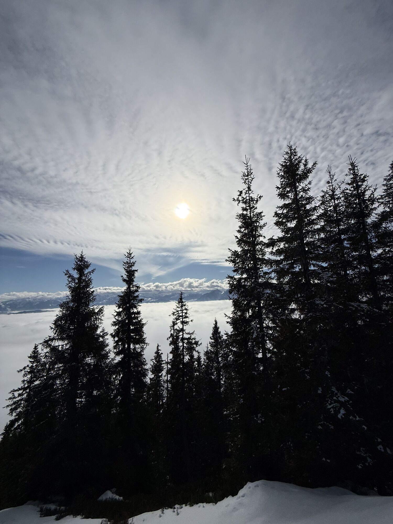
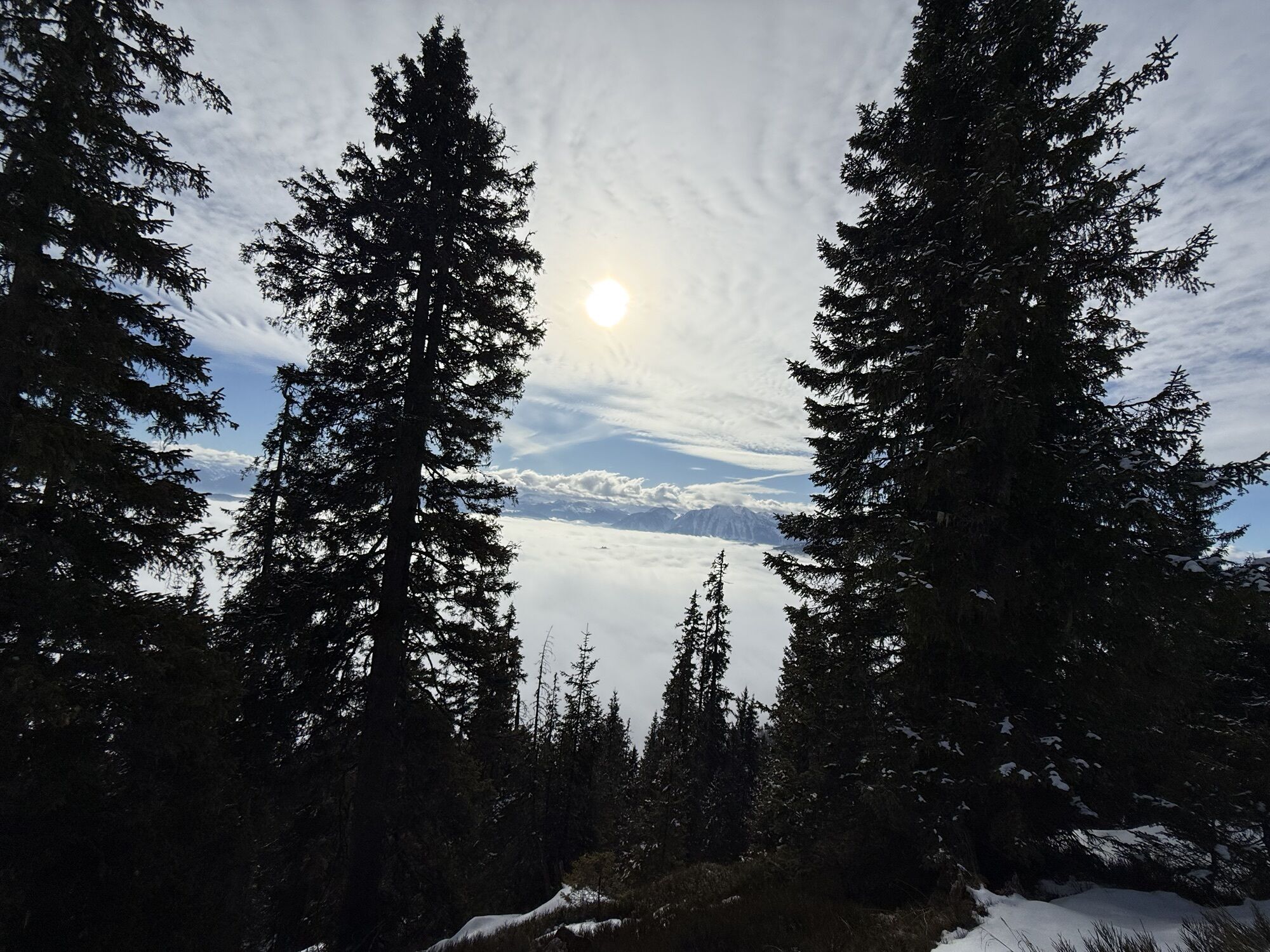
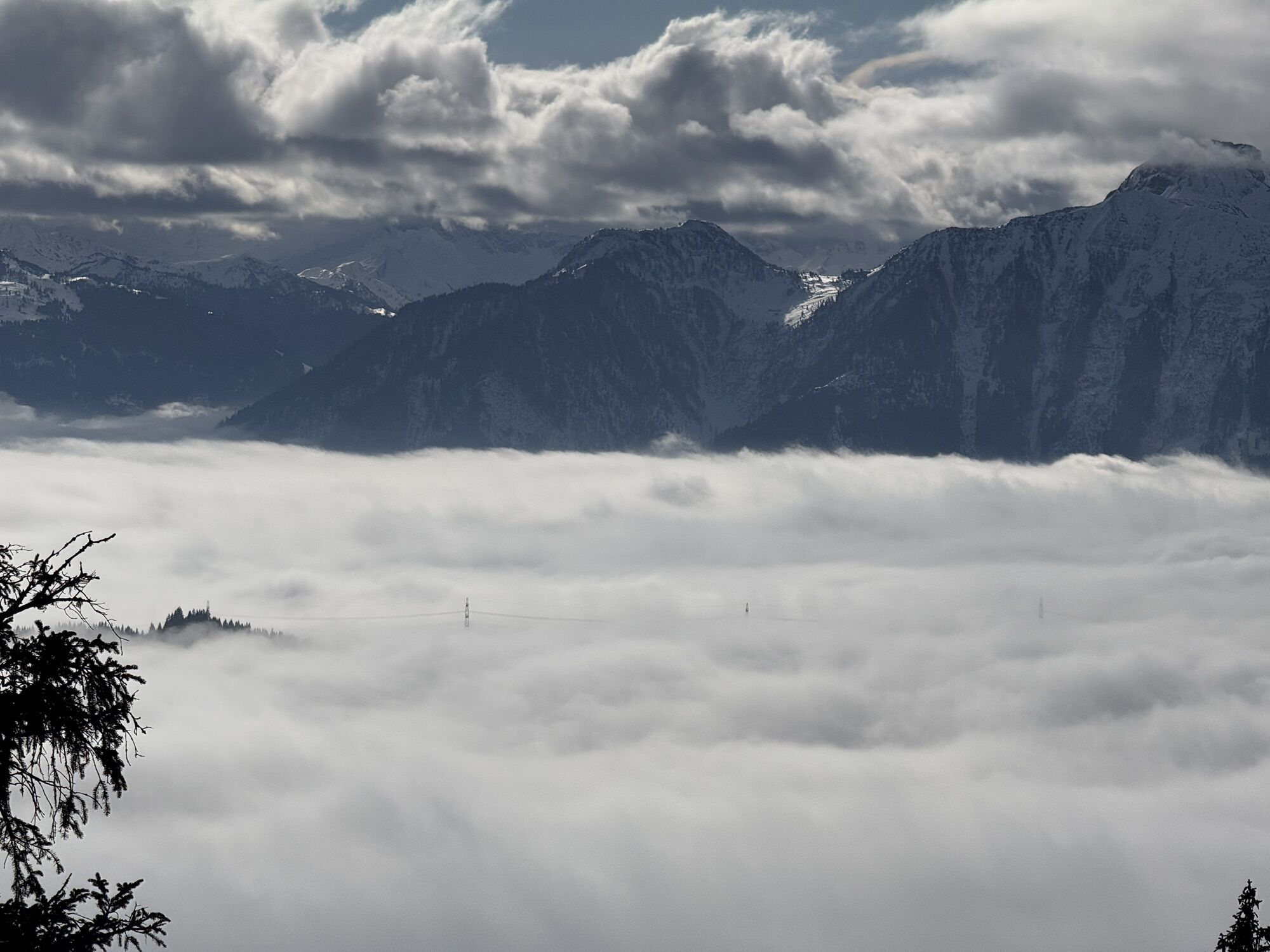
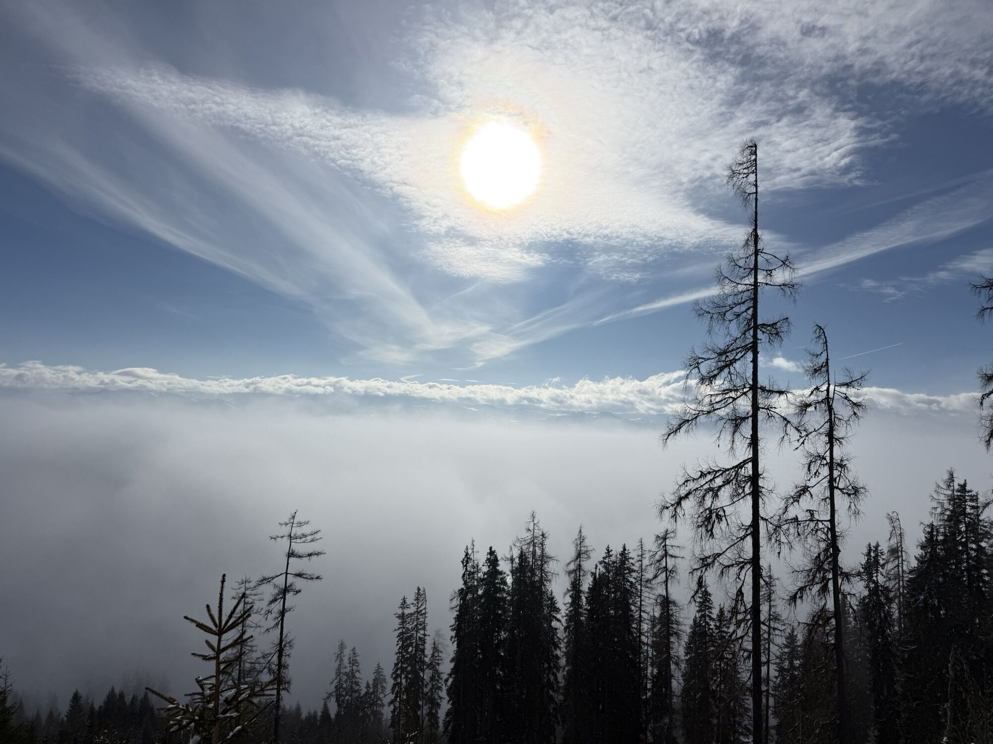
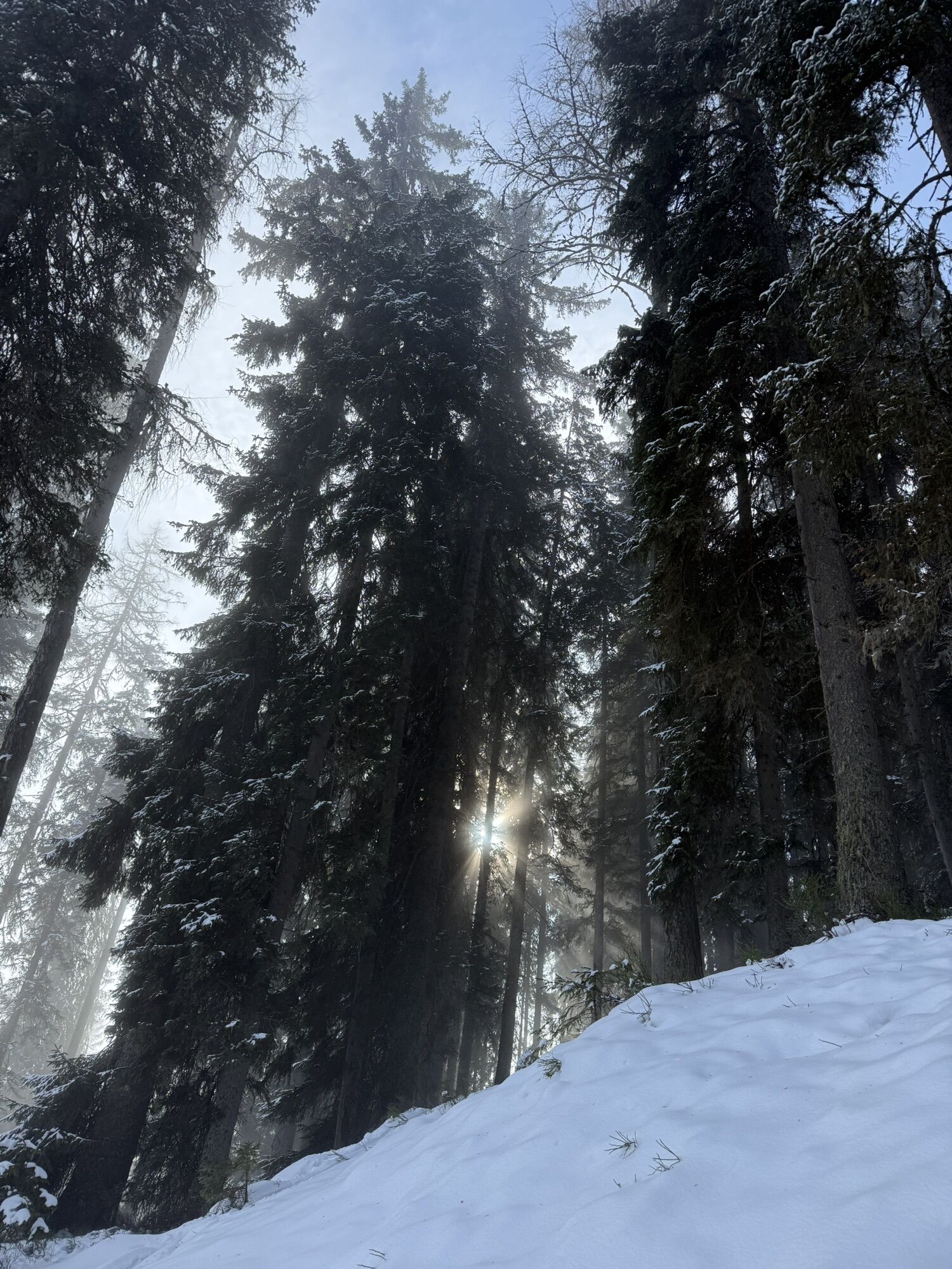
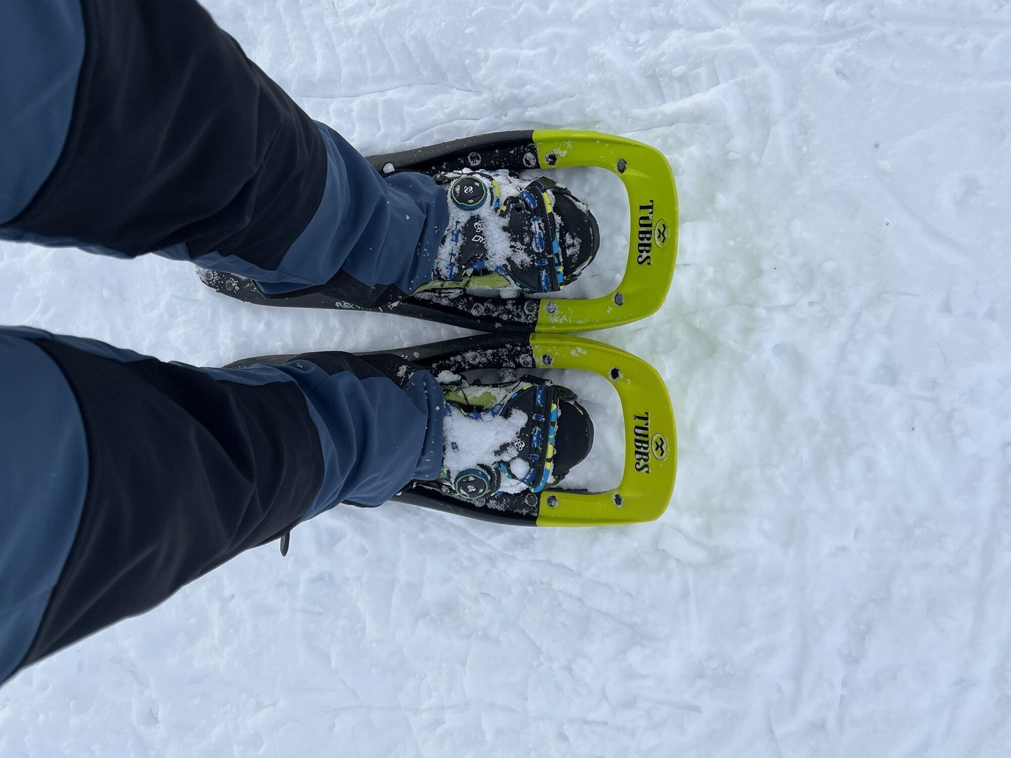
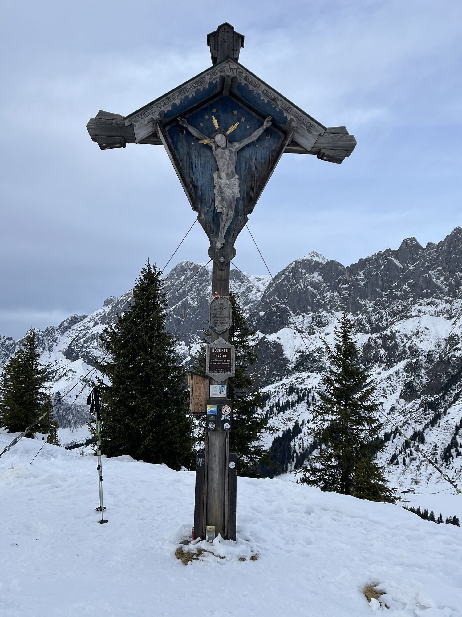
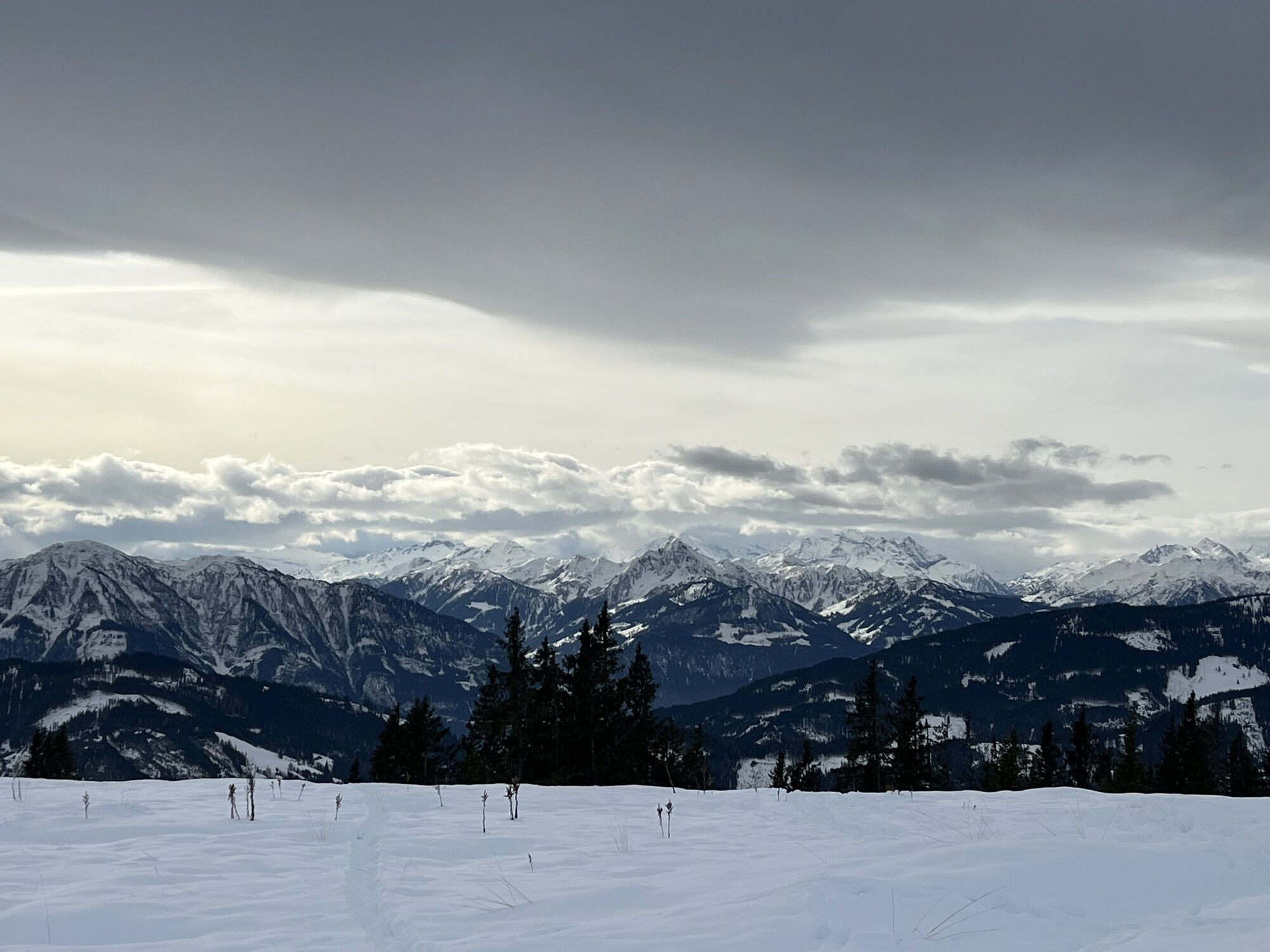
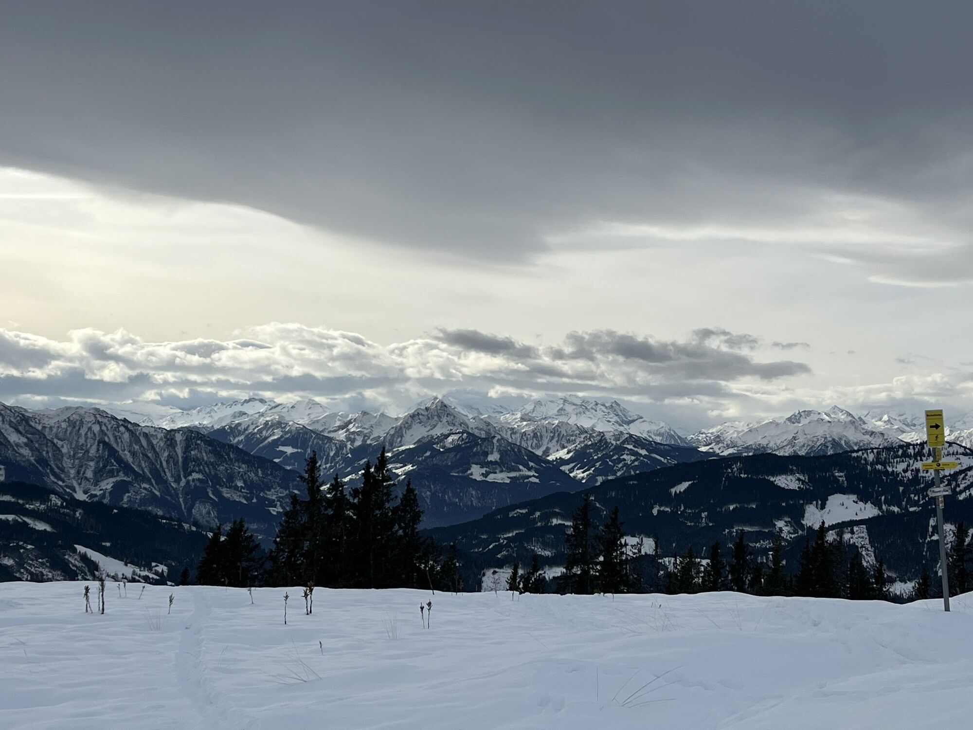
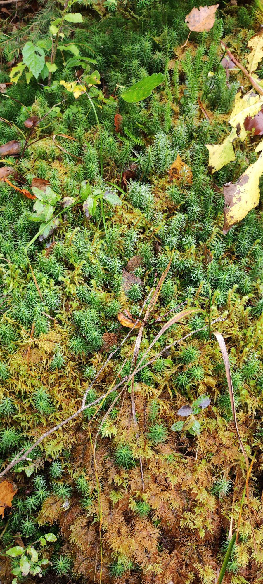
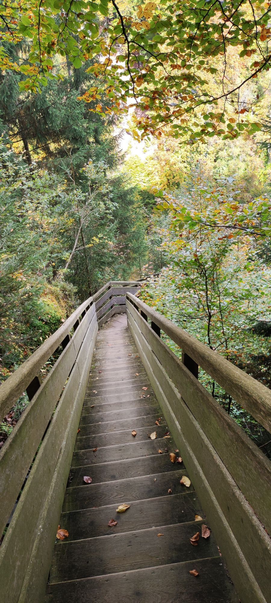
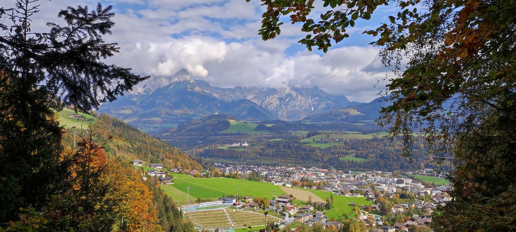
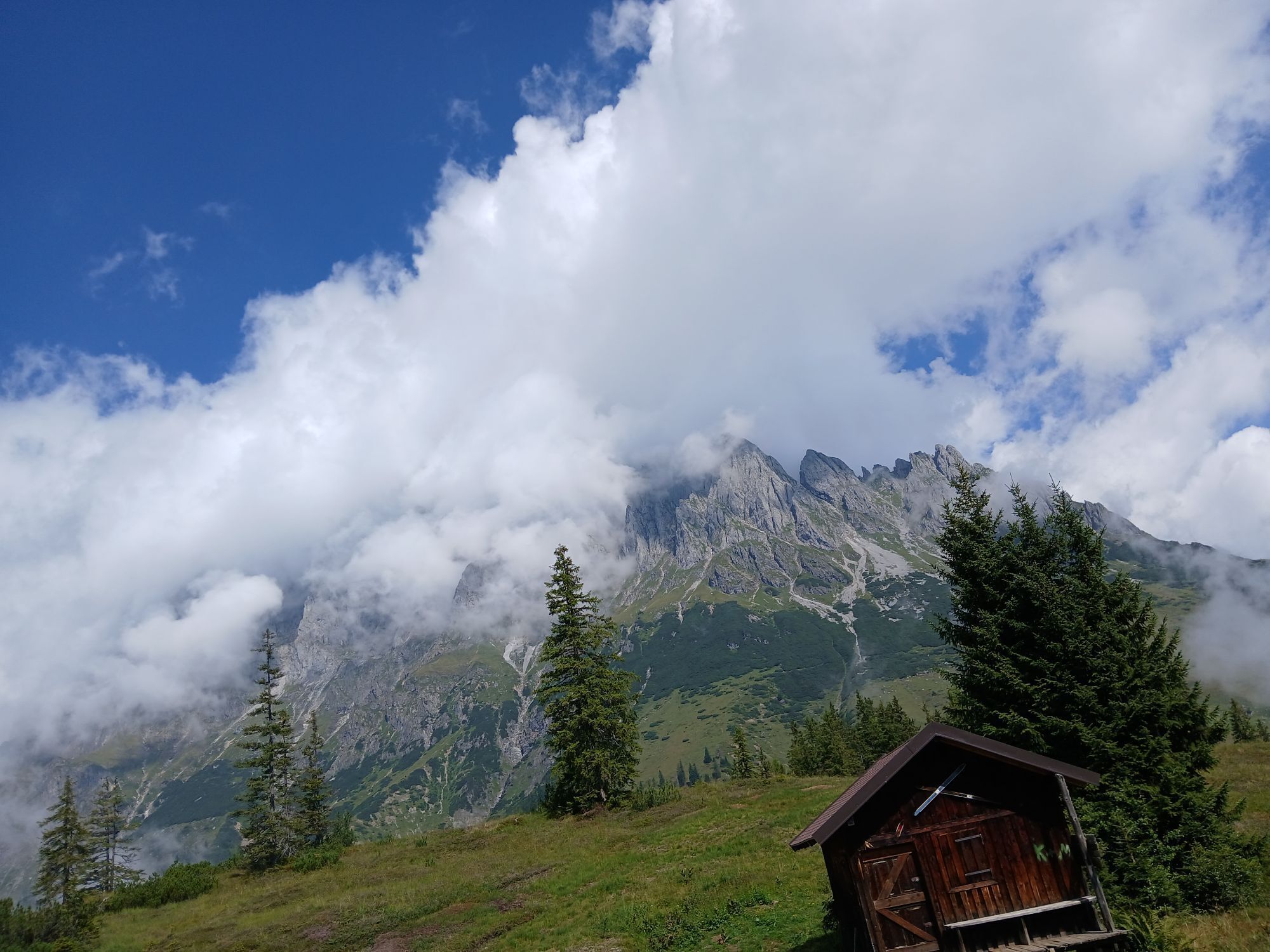
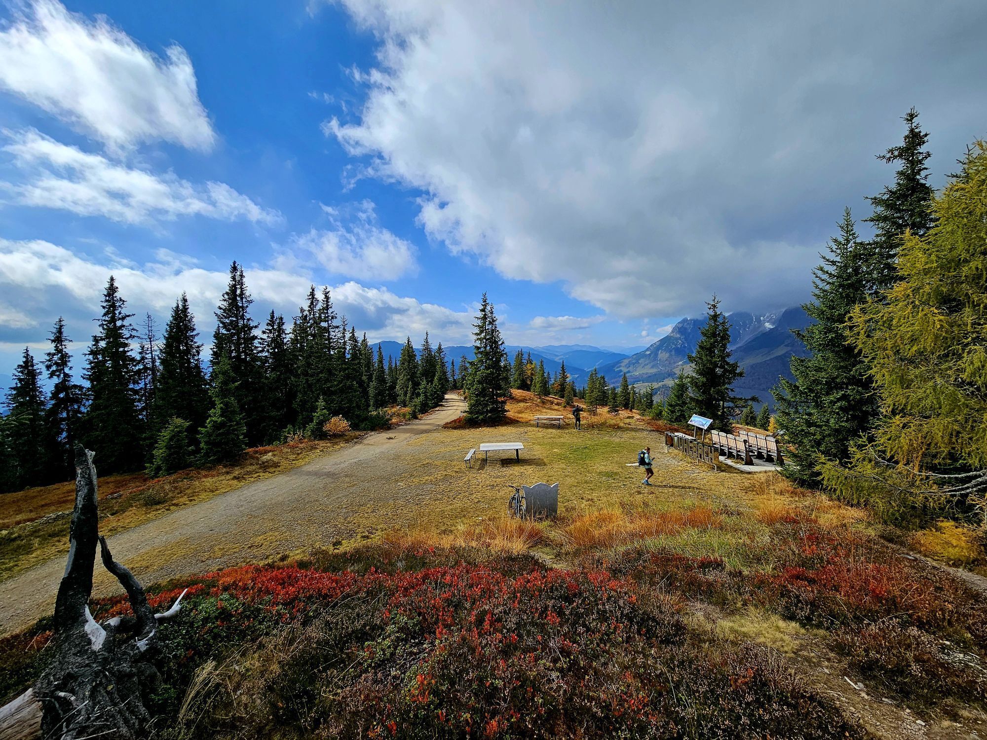
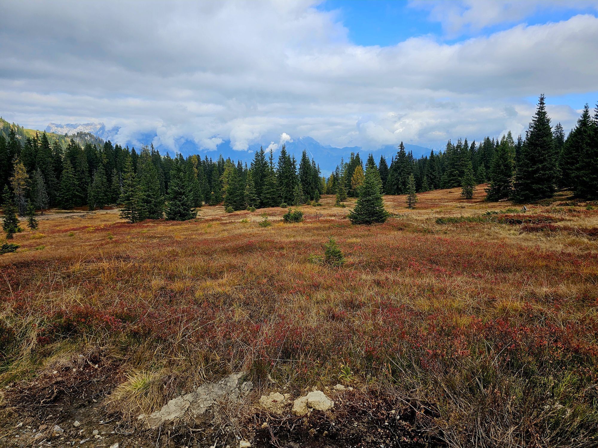
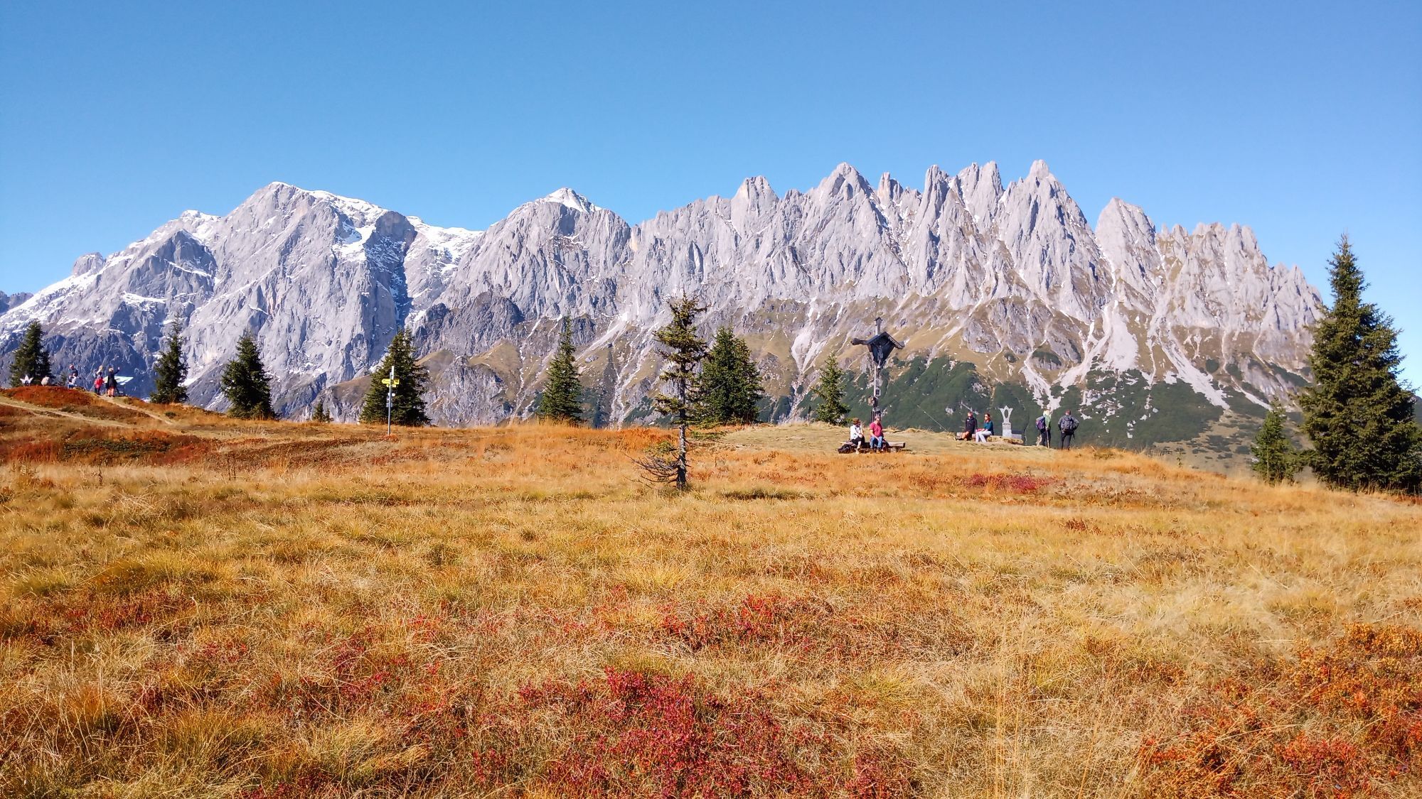
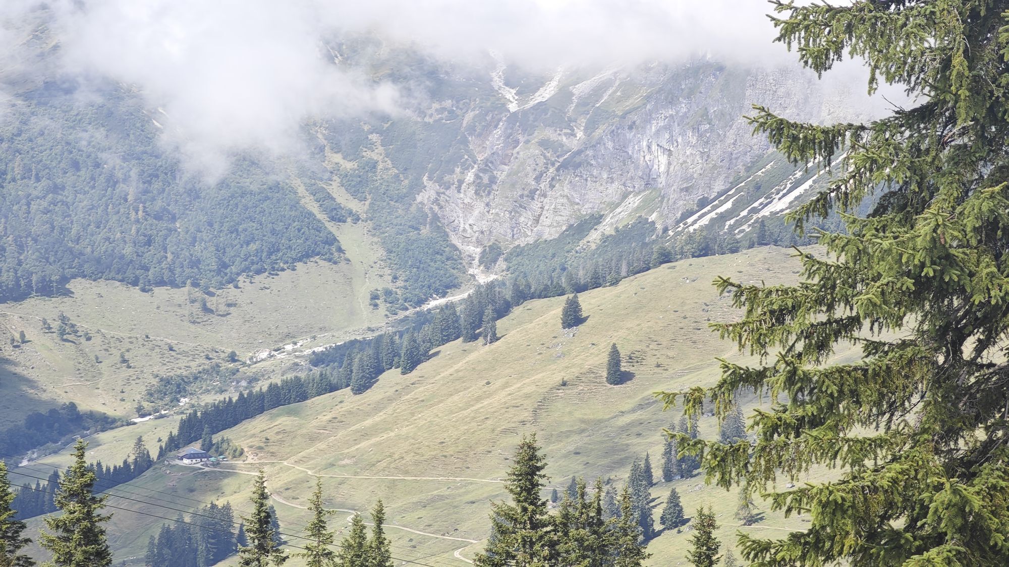
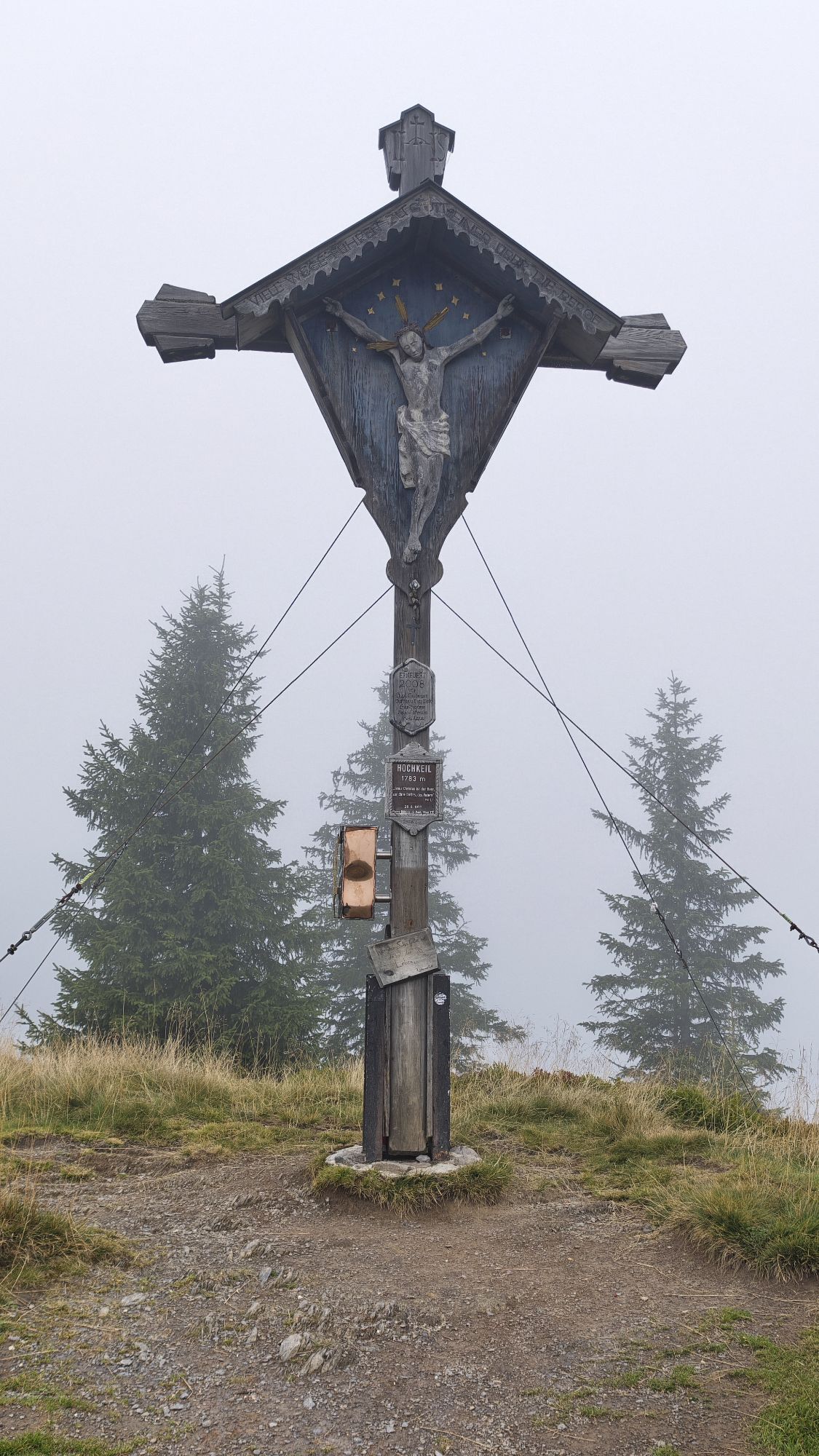
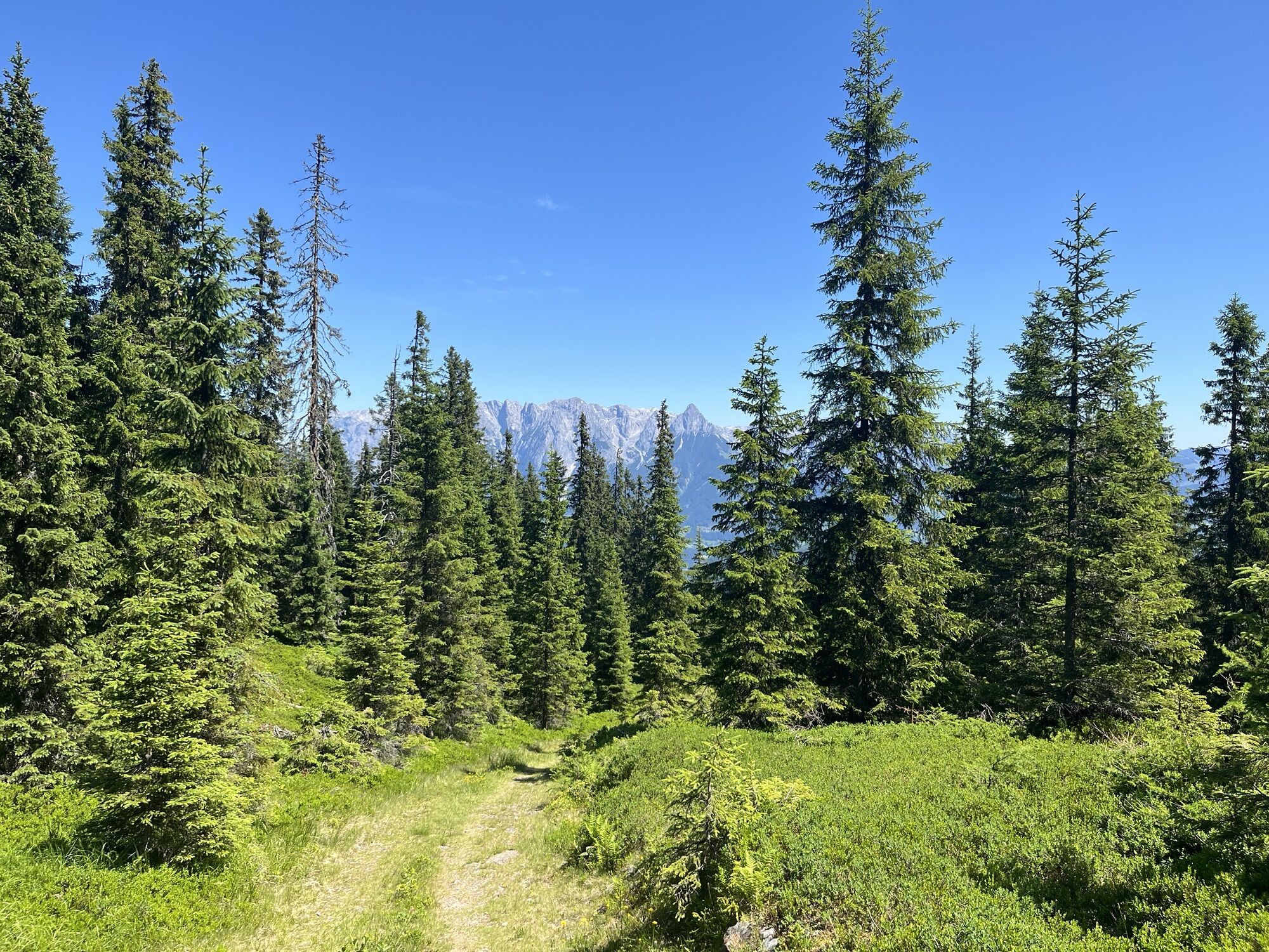
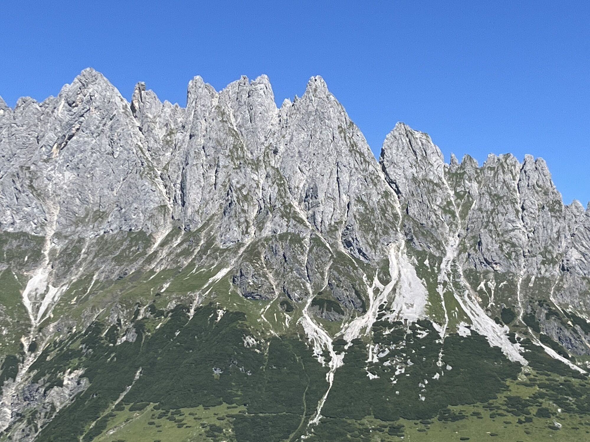
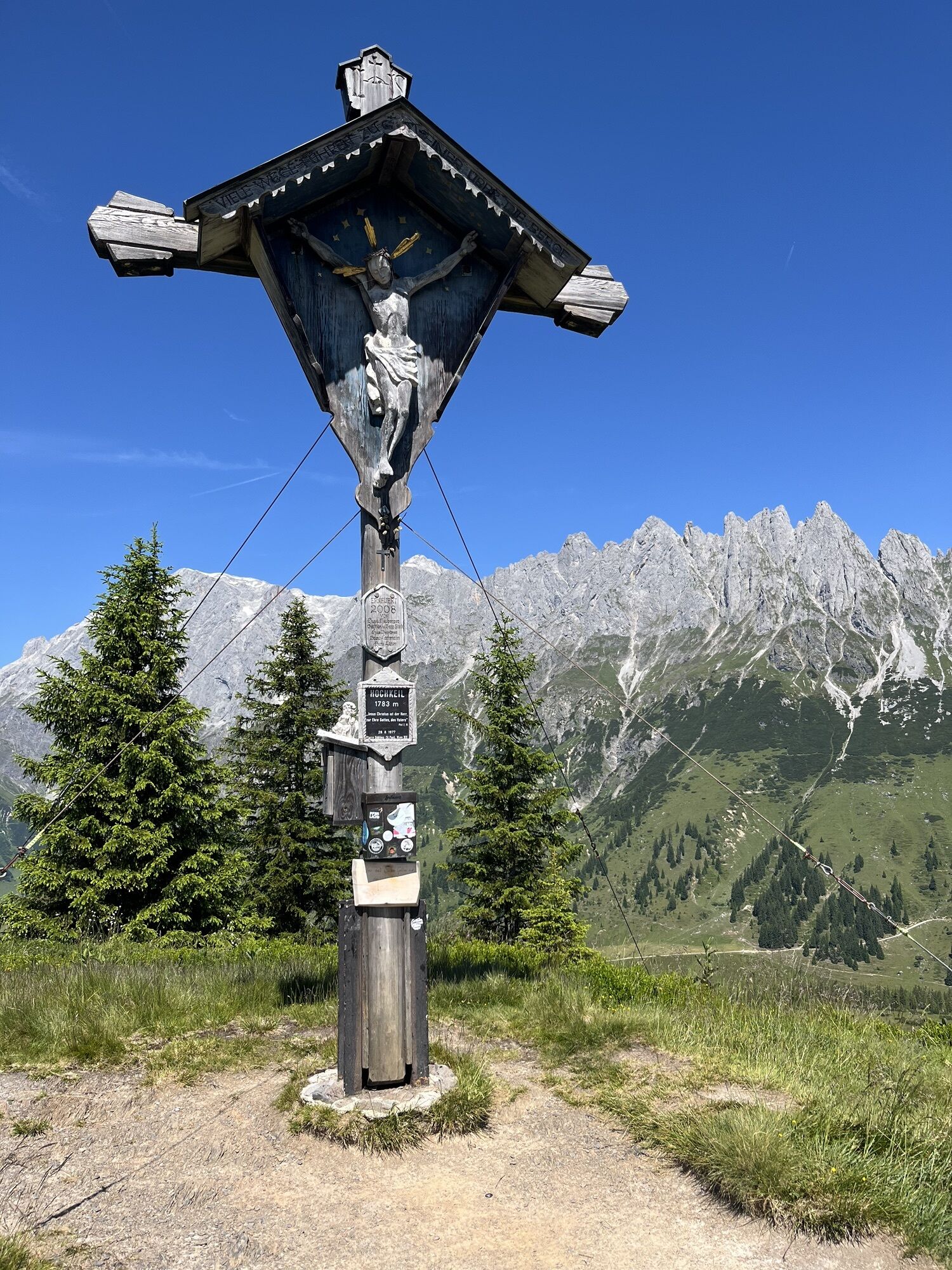
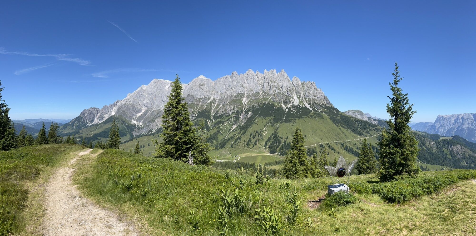
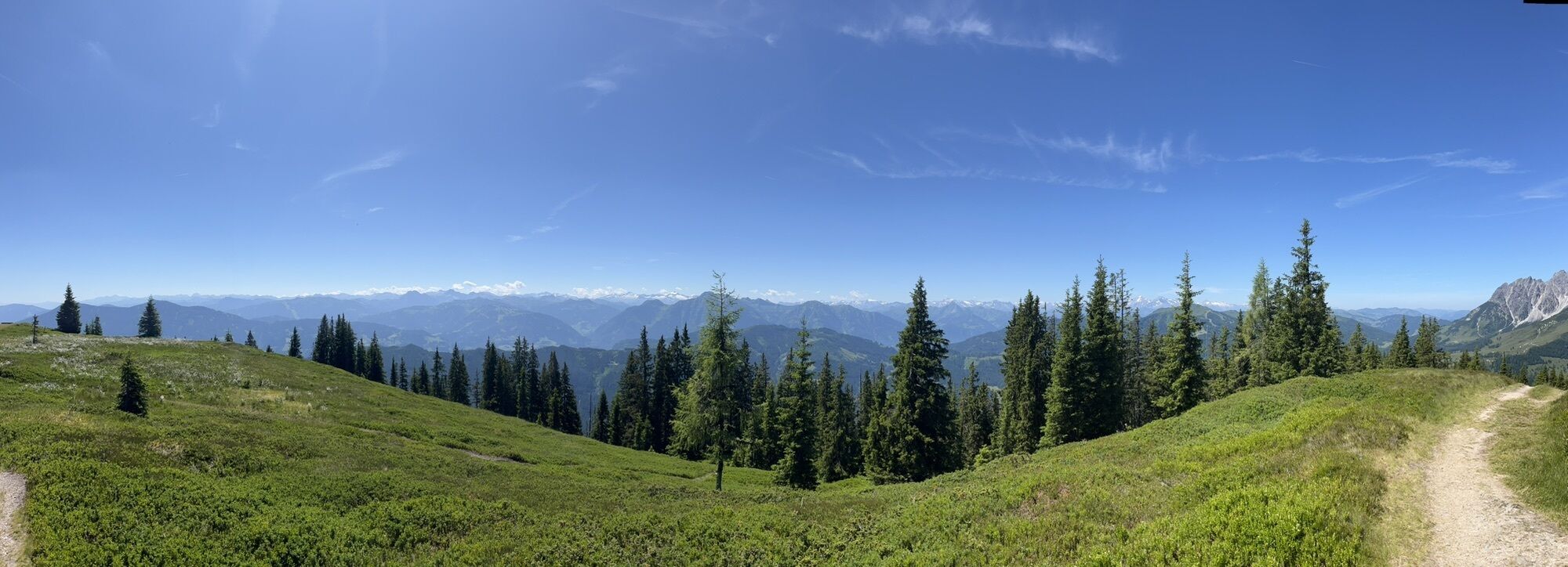
Longer but easy and relatively avalanche-safe ski route from Bischofshofen to the Hochkeil. The ascent is signposted and mostly leads through open terrain off-piste through the forest. At the summit, you...
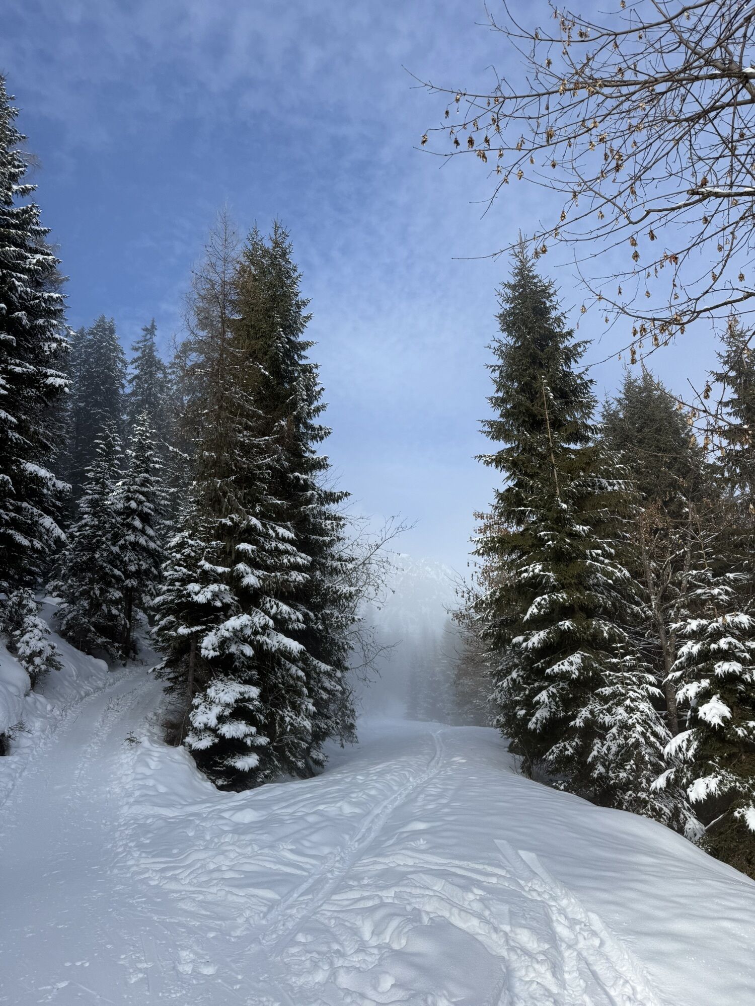
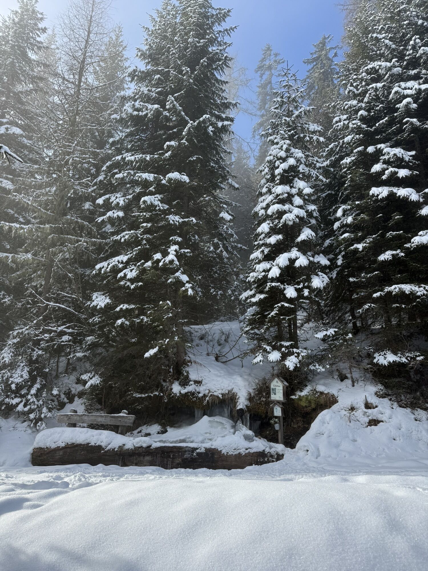
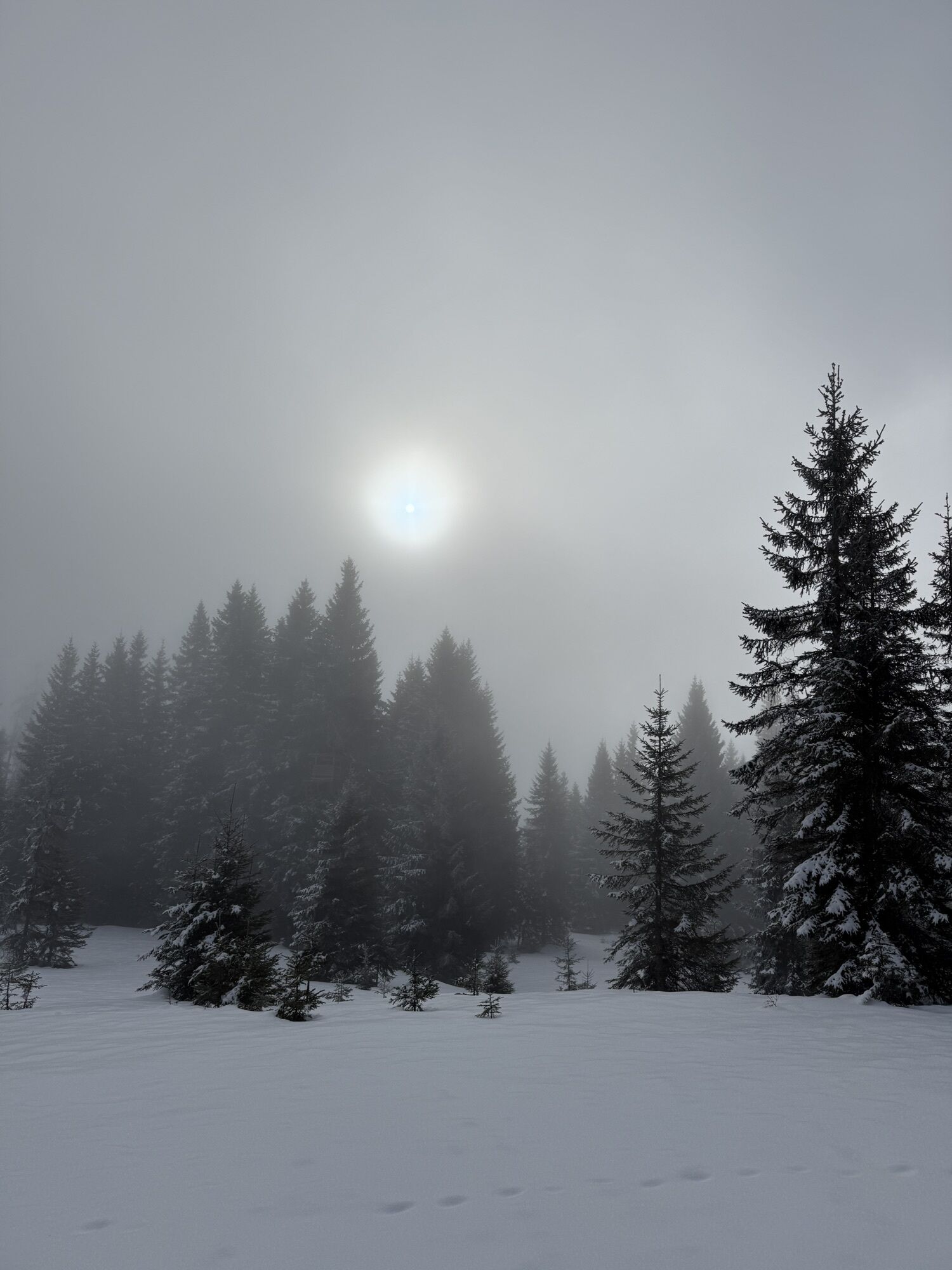
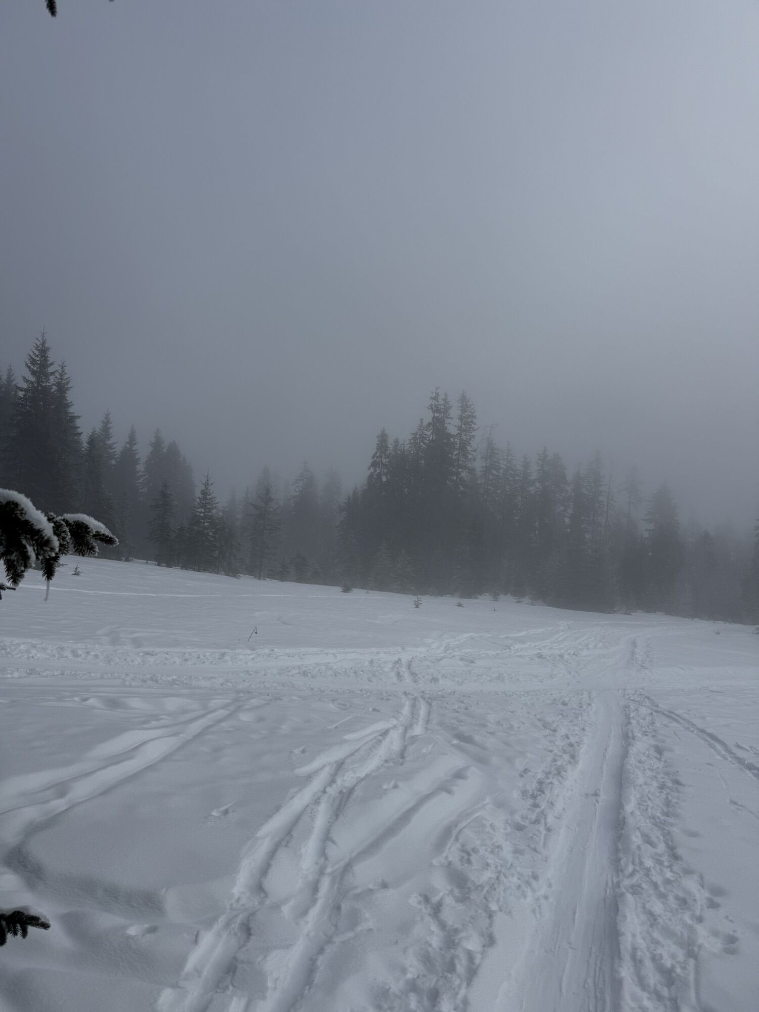
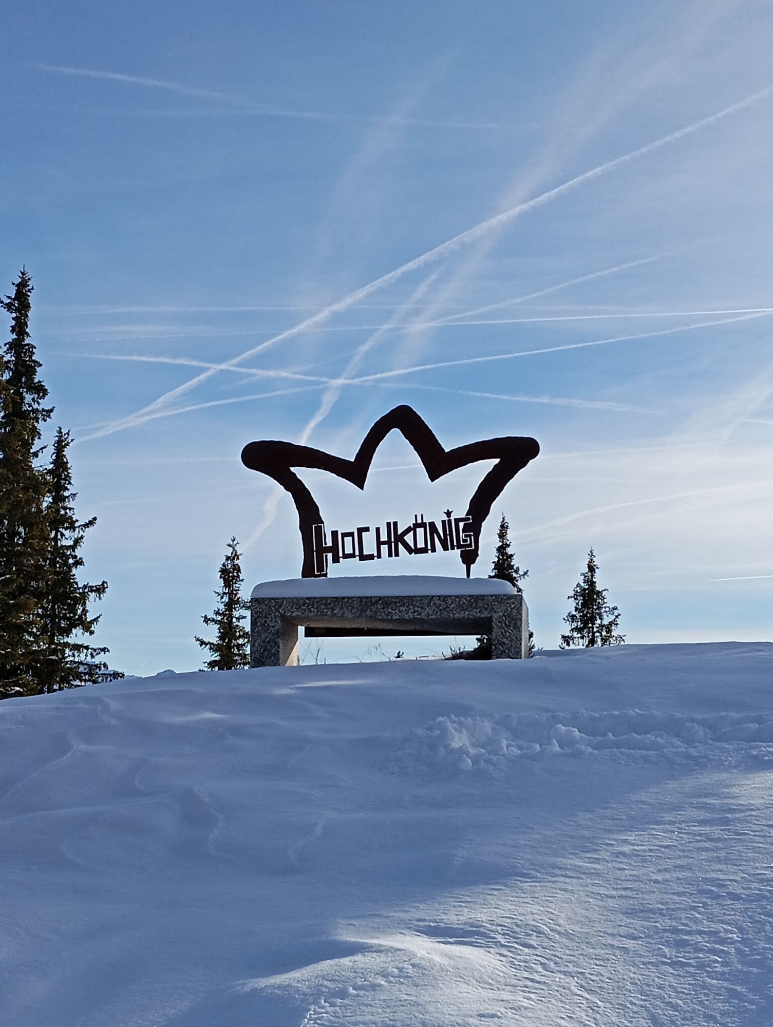
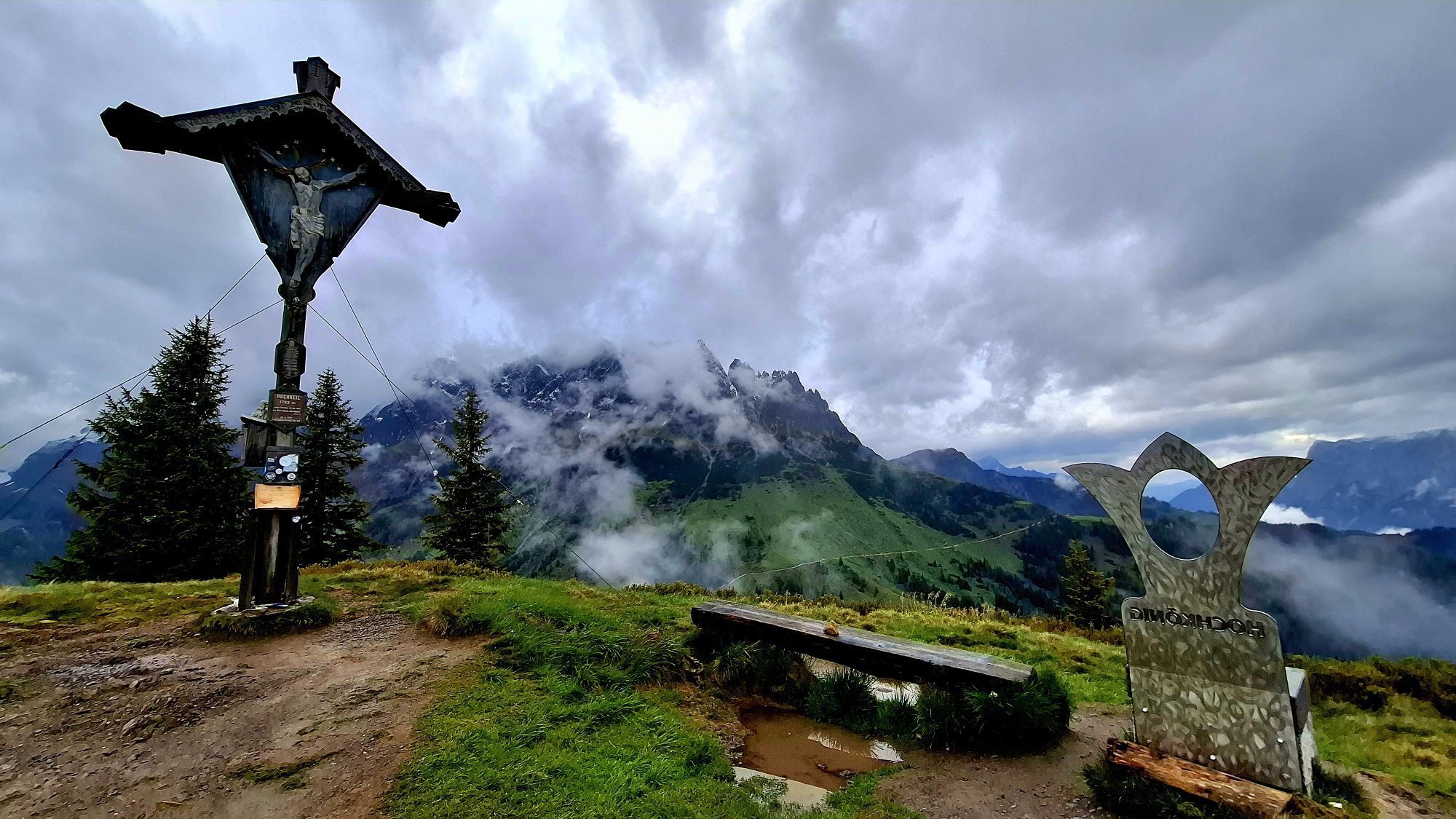
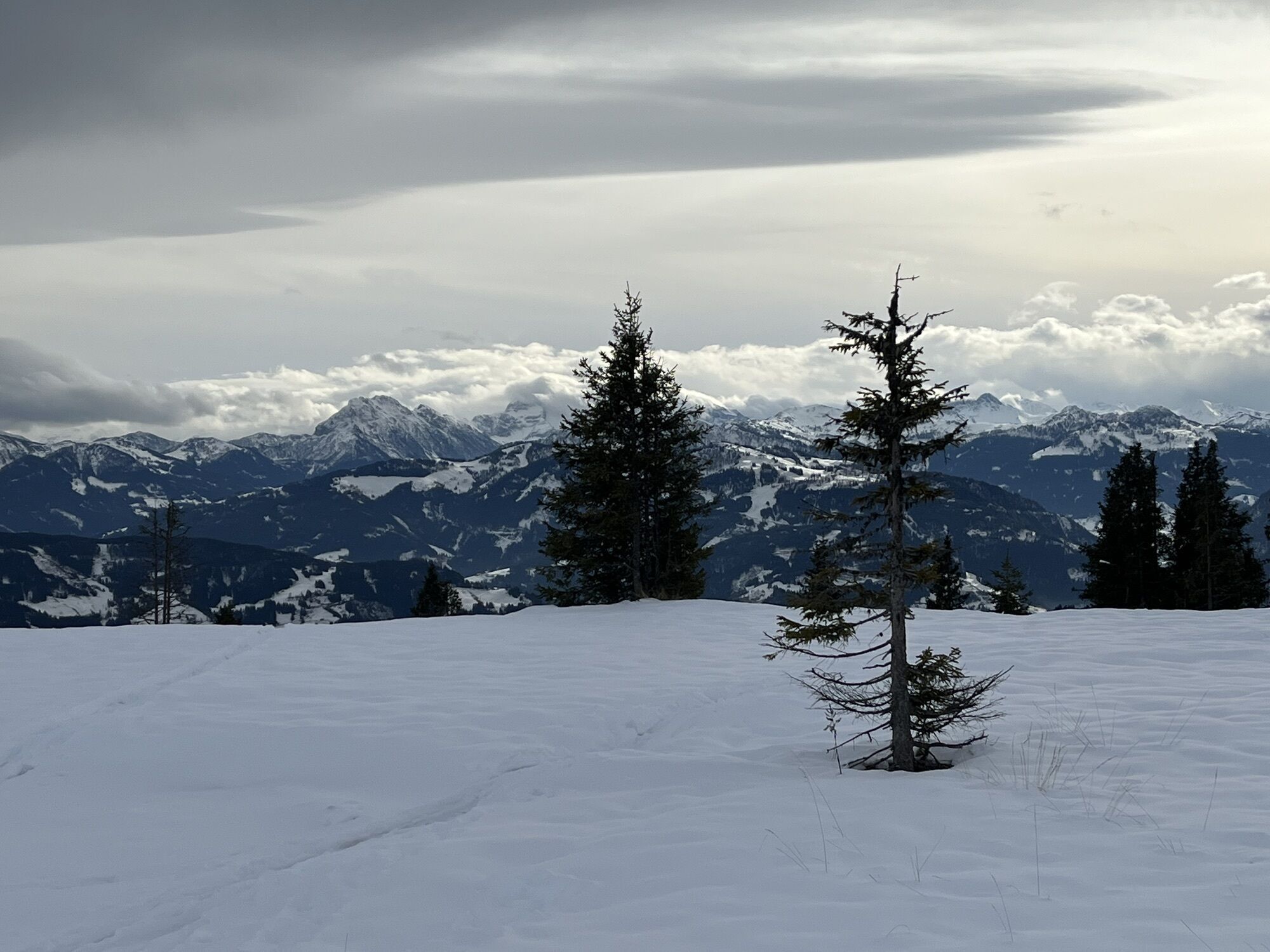
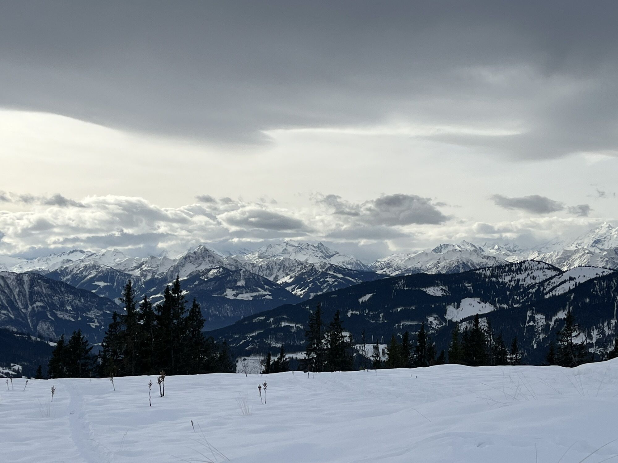
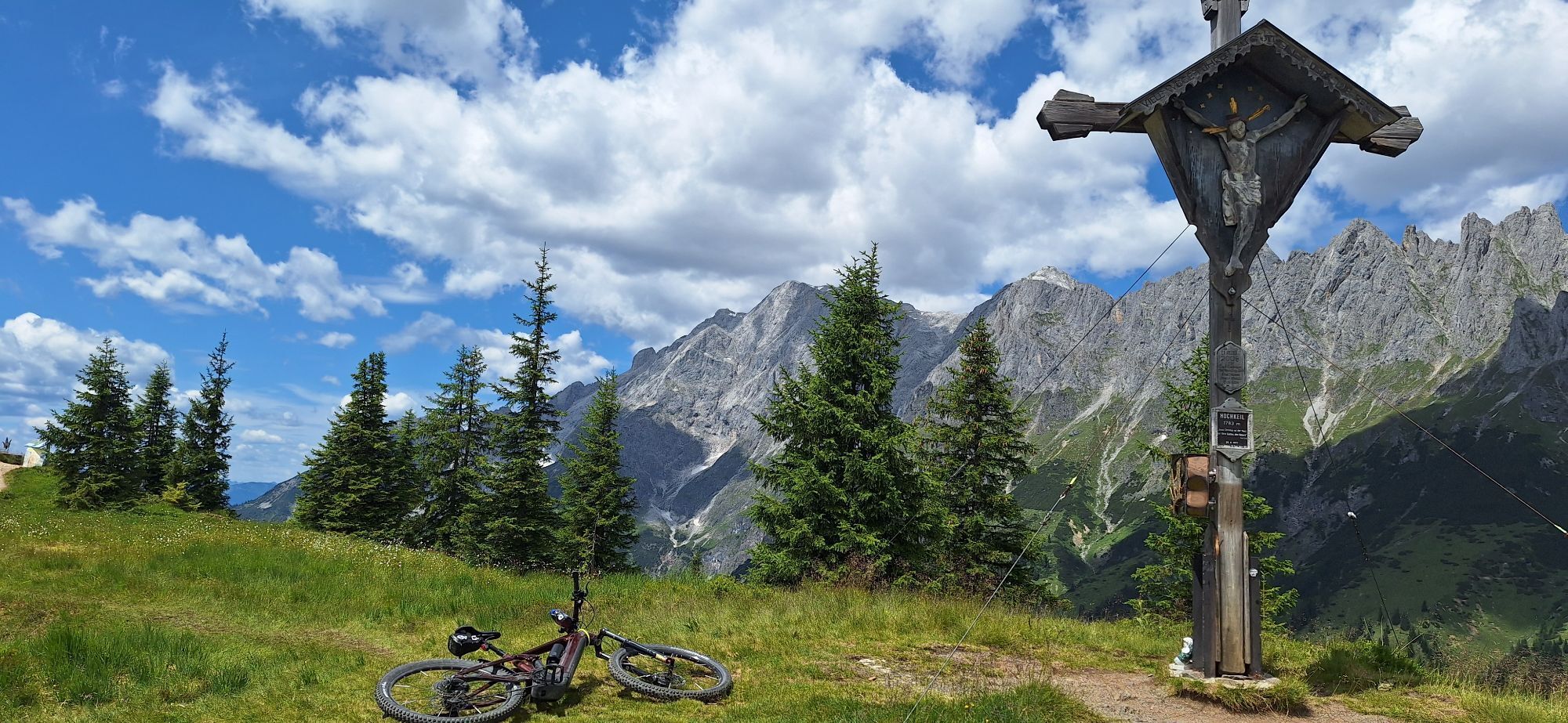
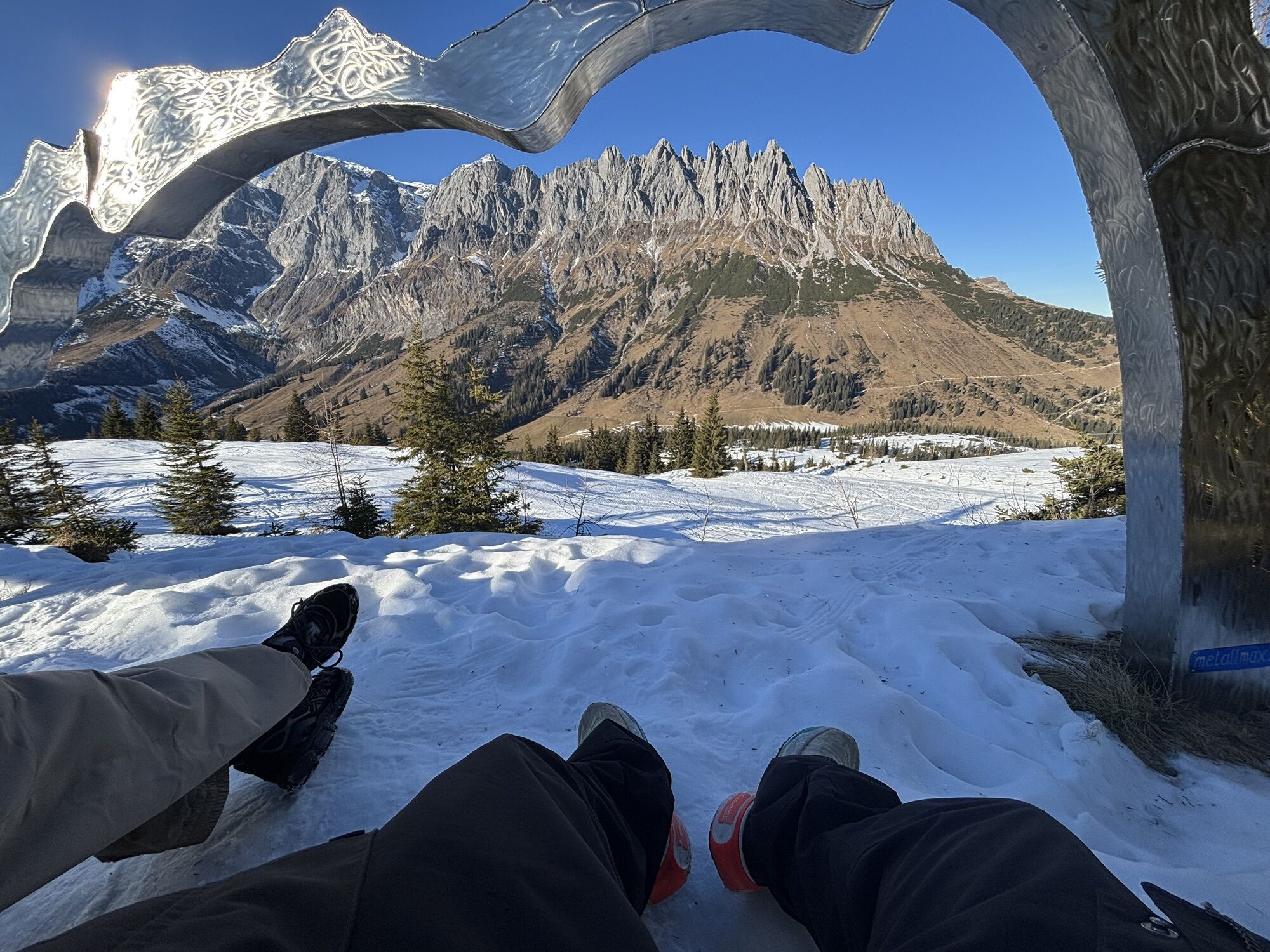
Longer but easy and relatively avalanche-safe ski route from Bischofshofen to the Hochkeil. The ascent is signposted and mostly leads through open terrain off-piste through the forest. At the summit, you stand directly in front of the impressive Hochkönig massif and meet many ski tourers who have ascended from Arthurhaus. The panoramic view is impressive. From the summit, you descend via the Hochkeil ski piste and turn halfway to the specially prepared forest path Knappensteig for ski tourers. From there, it goes back to Bischofshofen.

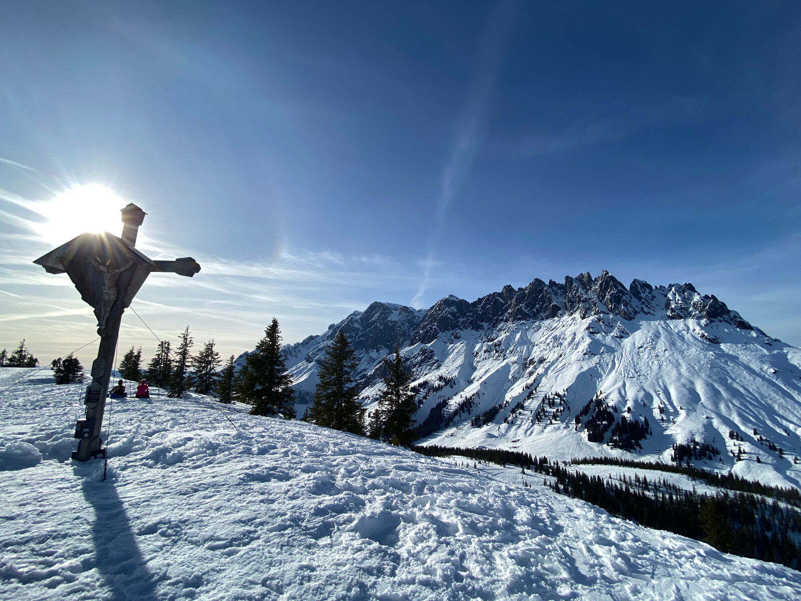
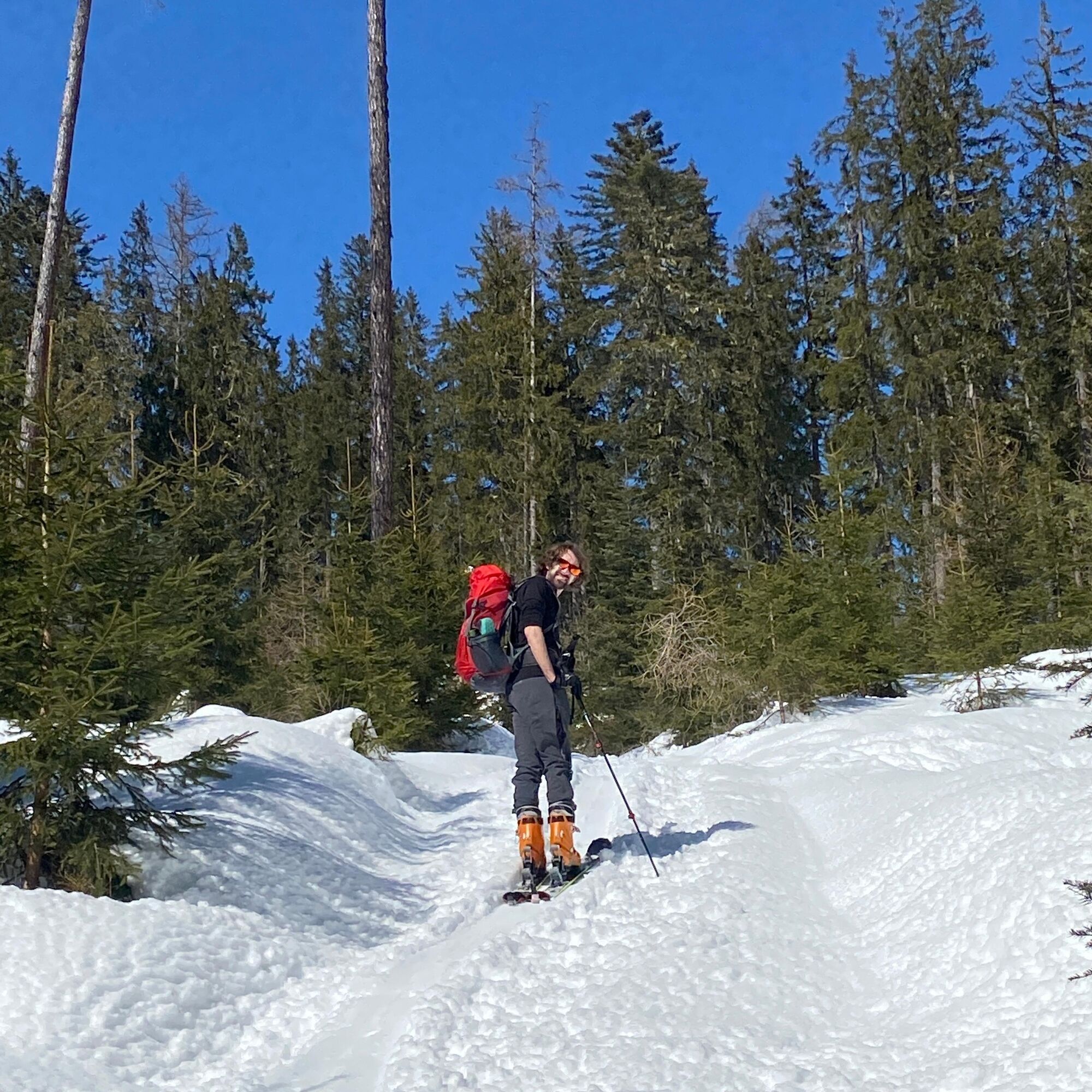
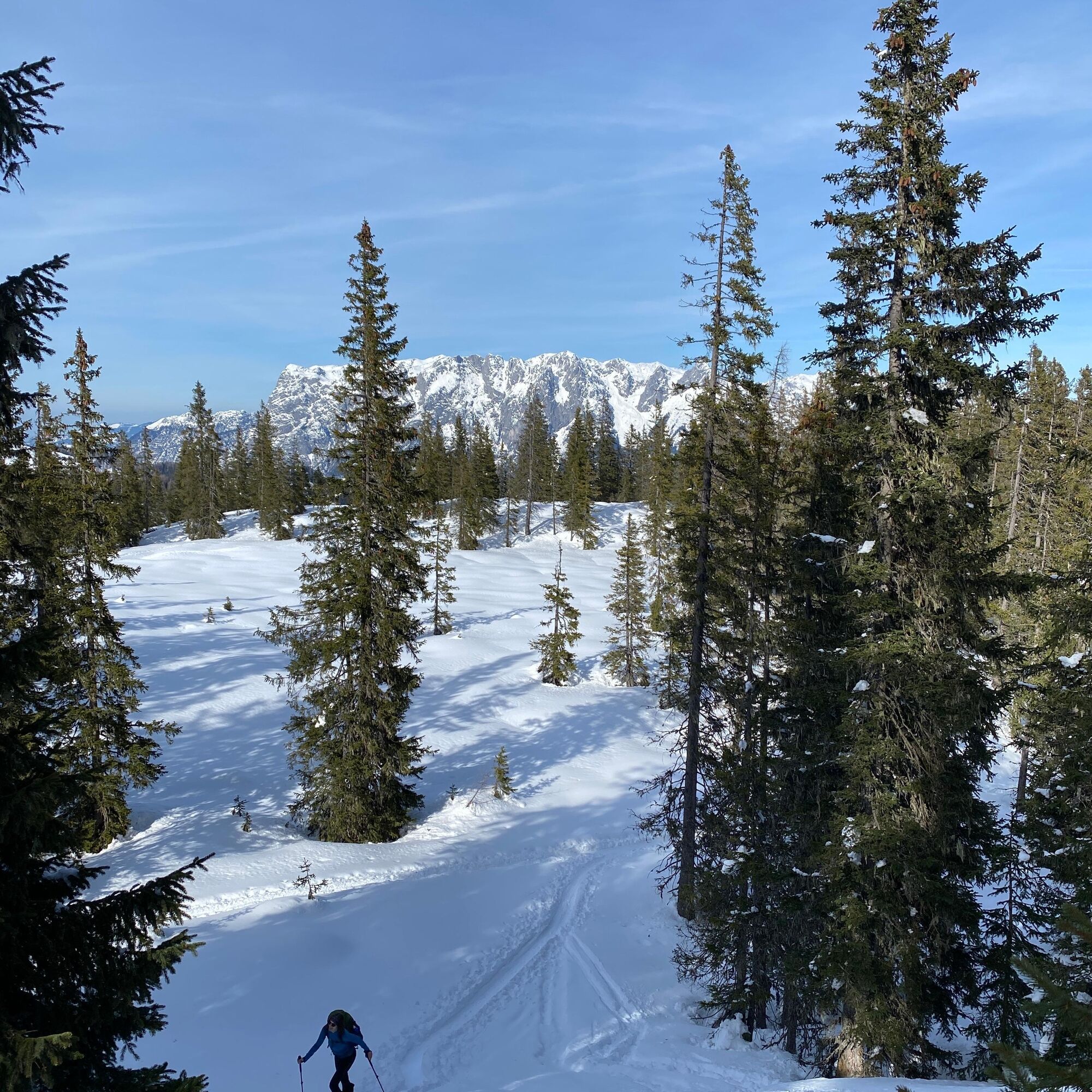
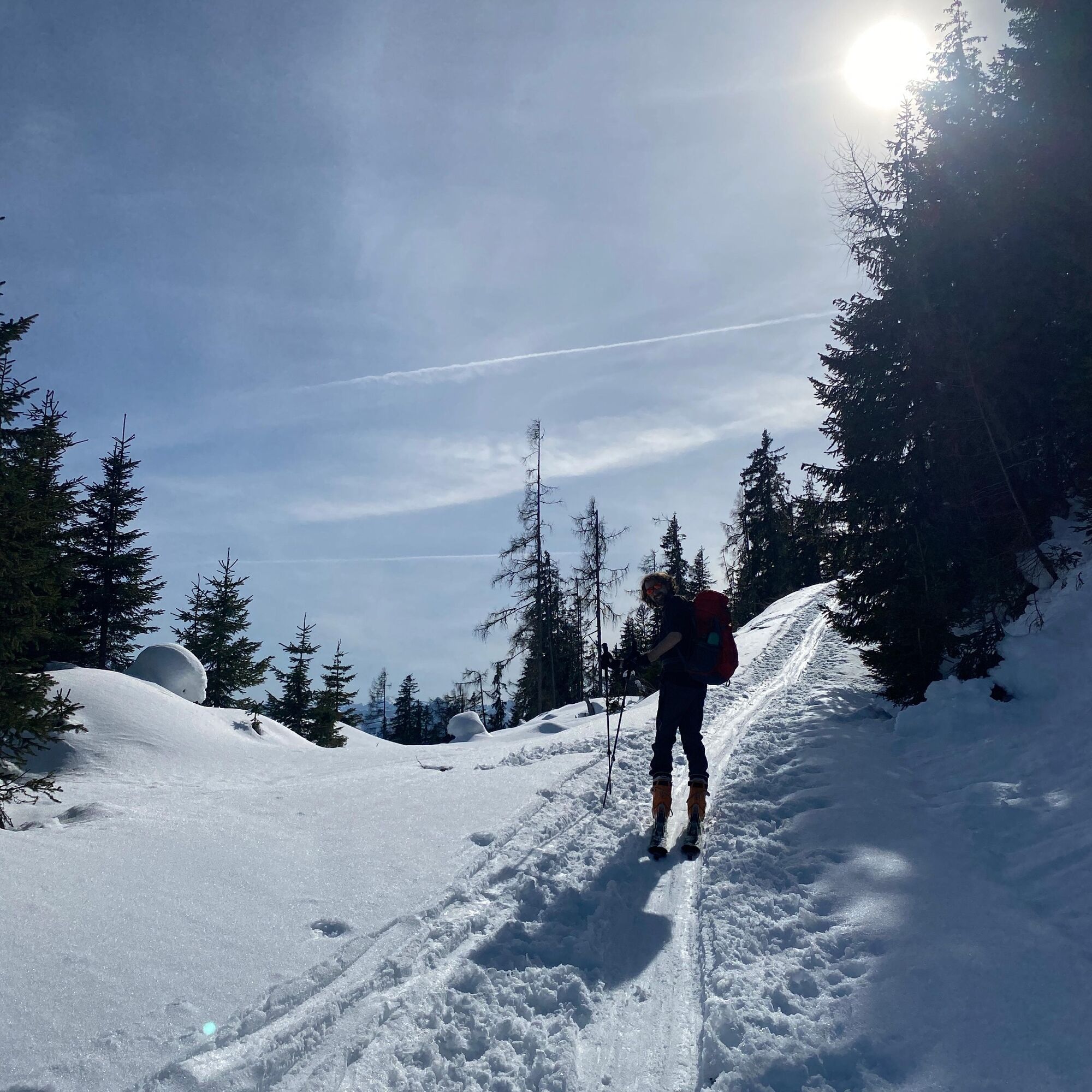

Provided there is sufficient snow cover, the route can start in the Schanzengelände of Bischofshofen. Always well signposted, it first goes through the forest and over some open meadows past the Gasthof Bürglhöh before leaving the prepared part by turning left and ascending on the long east ridge through quiet snowy forests to the summit. The descent takes place via the Hochkeil ski piste and halfway down, it turns onto the prepared forest path Knappensteig, which leads back to the starting point.
Da
Da
Complete ski touring equipment.
Observe the avalanche warning level! Complete ski touring equipment.
Weather and avalanche information at www.lawine.salzburg.at
Bischofshofen train station, where local trains and long-distance trains run several times per hour. From there, it is about a 10-minute walk through the town to the starting point.
Timetable information and download: Online at www.salzburg-verkehr.at or on your smartphone via the free Salzburg Verkehr app for Android and iOS.
Hochkeil ski area:
Theresa Schilling
5020 Salzburg
theresaschilling@googlemail.com
Image credits: Theresa Schilling, Per Oftedal
Stop for food and drink at the Gasthof Bürglhöh, just before Bischofshofen right on the descent.


Spletne kamere s turneje
Pridobite vpogled
Vedno v živo na mestu z več kot 9.500 spletnimi kamerami. bergfex Kot uporabnik Pro si lahko zdaj ogledate ustrezne spletne kamere za številne izlete v aplikaciji izleti iz. Tako si lahko neposredno ogledate trenutne razmere.



Priljubljeni izleti v okolici
-
4.8
Summit stormer route Lauskopf
težkoPohodništvo 8.16 km -
4.8
Summit storming route Taghaube
težkoPohodništvo 6.25 km -
4.7
About the "Four Huts circular route" to Windraucheggalm
srednjaPohodništvo 10.1 km -
4.6
Panorama hike to the Hochkeil
srednjaPohodništvo 6.07 km -
5.0
Großarl: Heukareck
srednjaPohodništvo 12.5 km -
4.6
Großarl: Mooslehenalm – Niggeltalalm – Viehhausalm
srednjaPohodništvo 5.44 km -
3.6
Wanderung zur Ostpreußenhütte in Werfen (1.630 m)
srednjaPohodništvo 11.2 km -
4.9
Hochkönig - Gipfel der Gefühle - Matrashaus
težkoPohodništvo 20.9 km -
4.8
Liechtensteinklamm mit Helix
svetlobaTematska pot 3 km -
4.4
Alpine and hut hike "Hochmaisalm & Steinbockalm"
srednjaPohodništvo 8.10 km
Pohodništvo in sledenje


Ne zamudite ponudb in navdiha za naslednje počitnice
Vaš e-poštni naslov je bil dodan na poštni seznam.





