






Around the Hochgründeck road bike tour
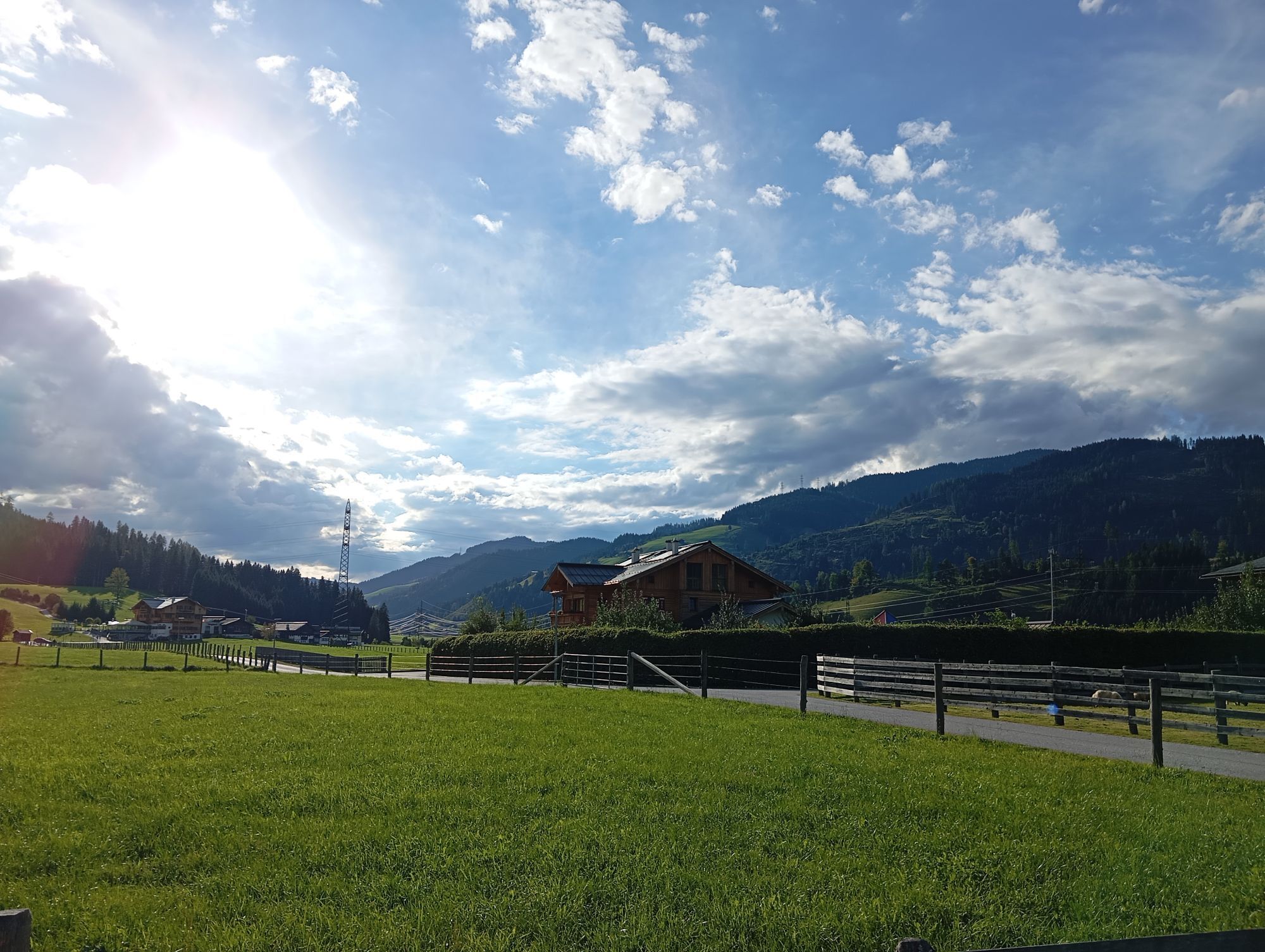
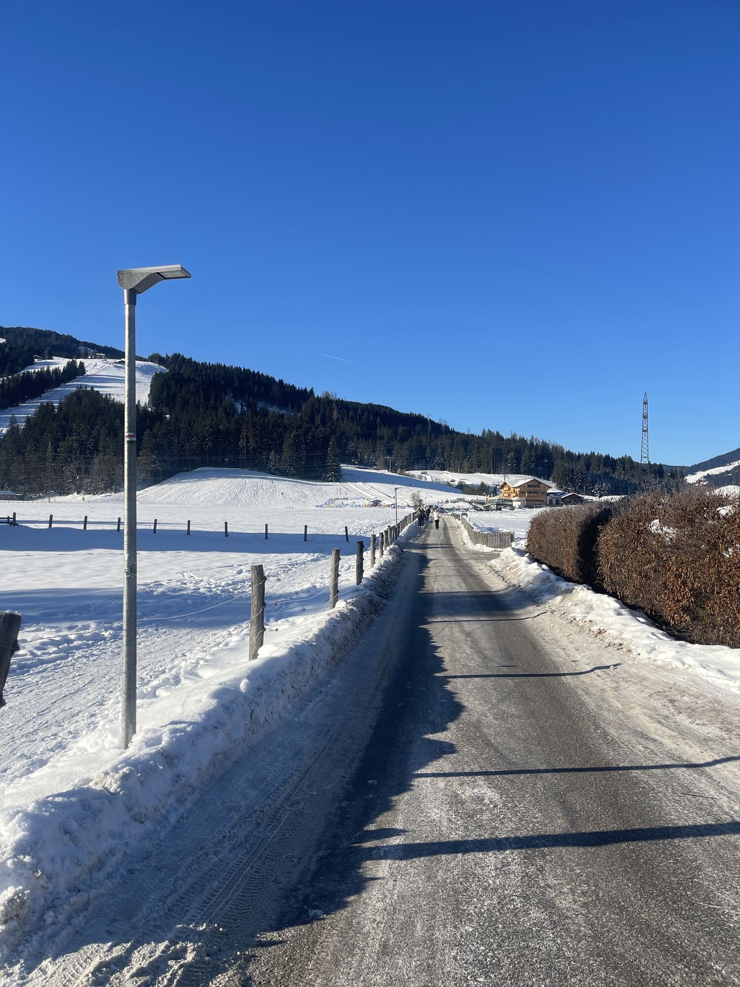
The classic for the morning, afternoon or evening. Approximately 50 km portion of the annual Amadé Cycle Marathon is this tour along the stream "Fritzbach" to Bischofshofen. Continue back to the town of...
The classic for the morning, afternoon or evening. Approximately 50 km portion of the annual Amadé Cycle Marathon is this tour along the stream "Fritzbach" to Bischofshofen. Continue back to the town of St. Johann and Wagrain to Flachau.

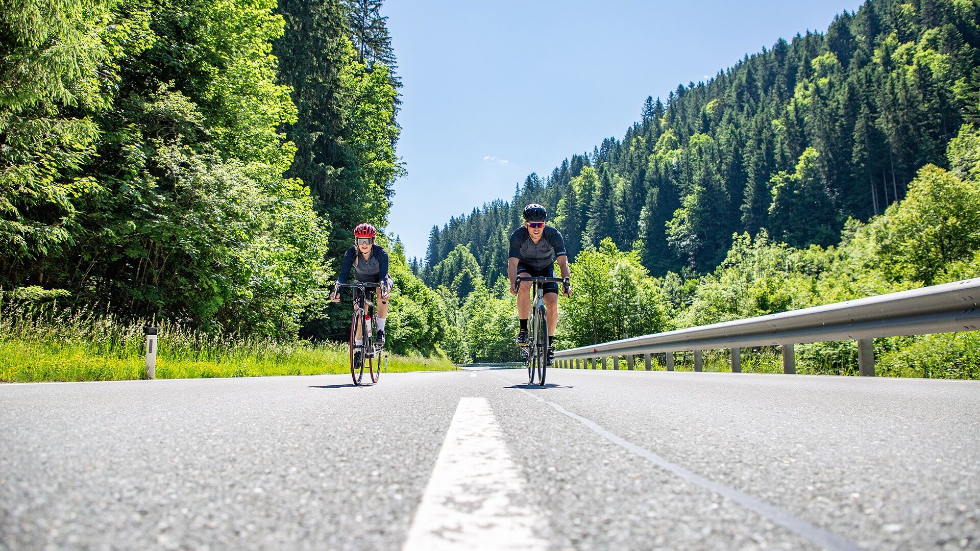
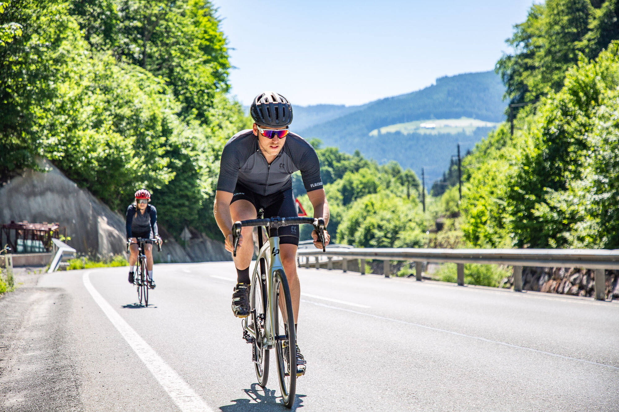
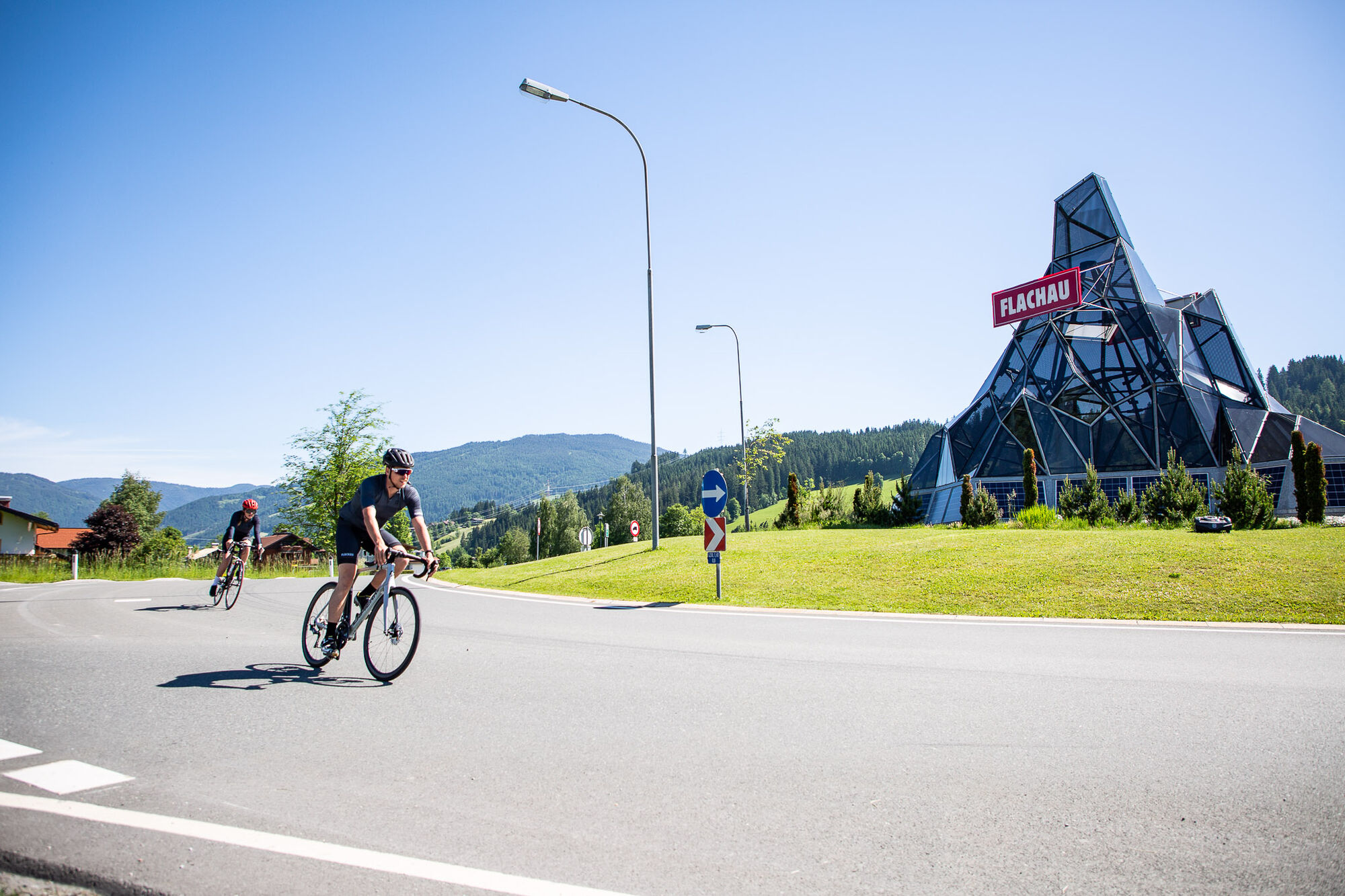
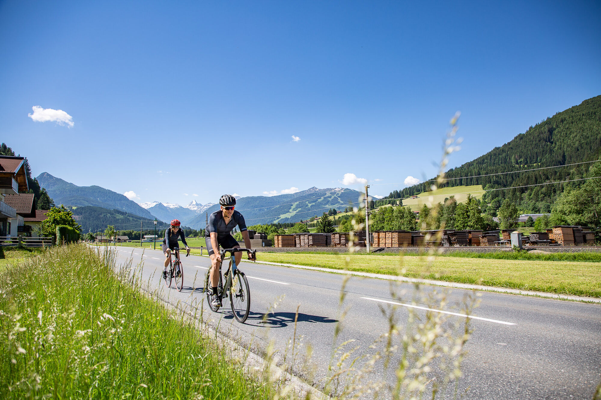

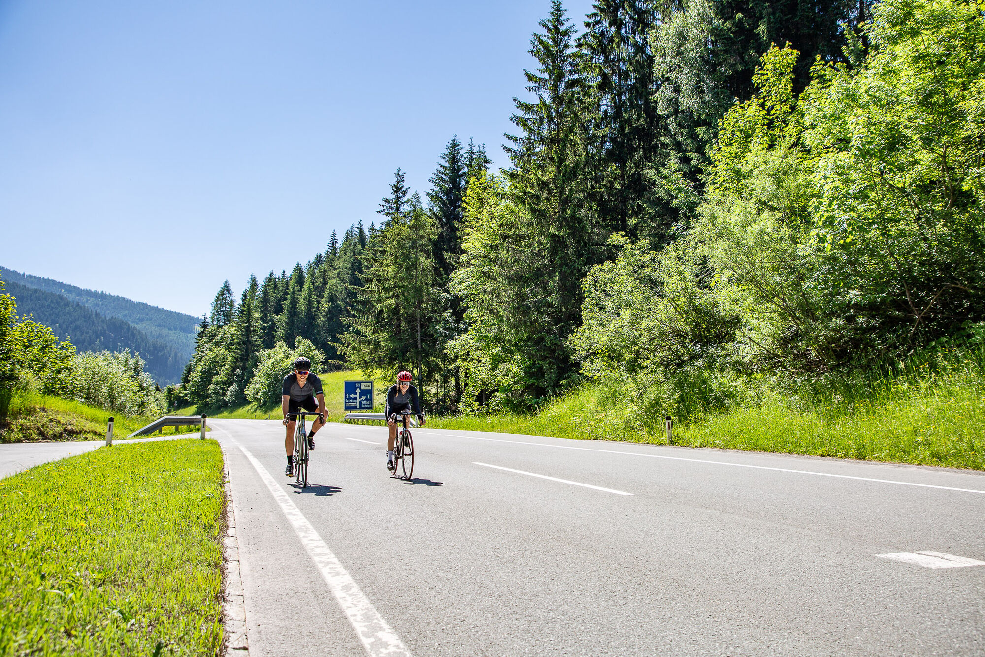
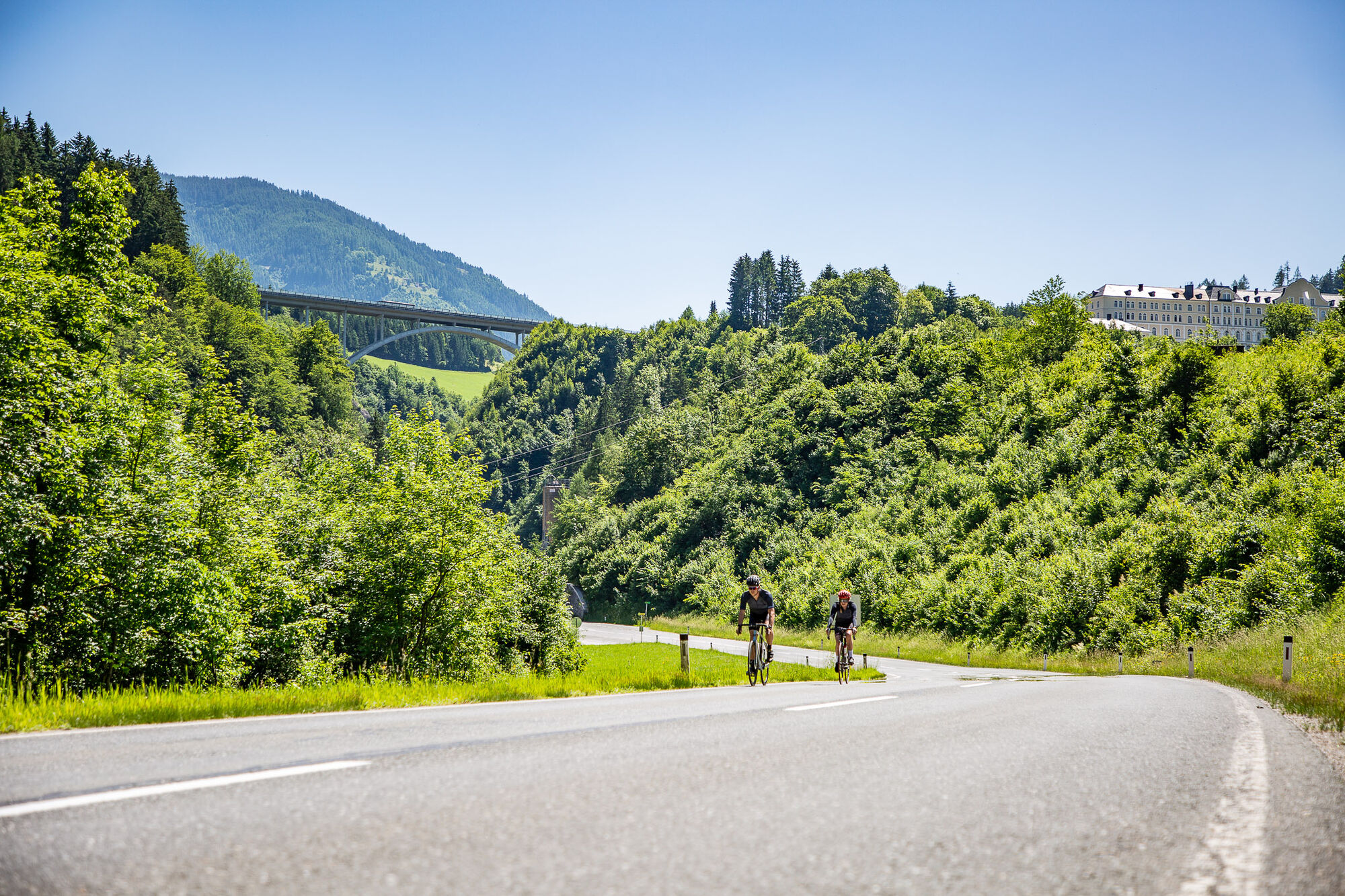
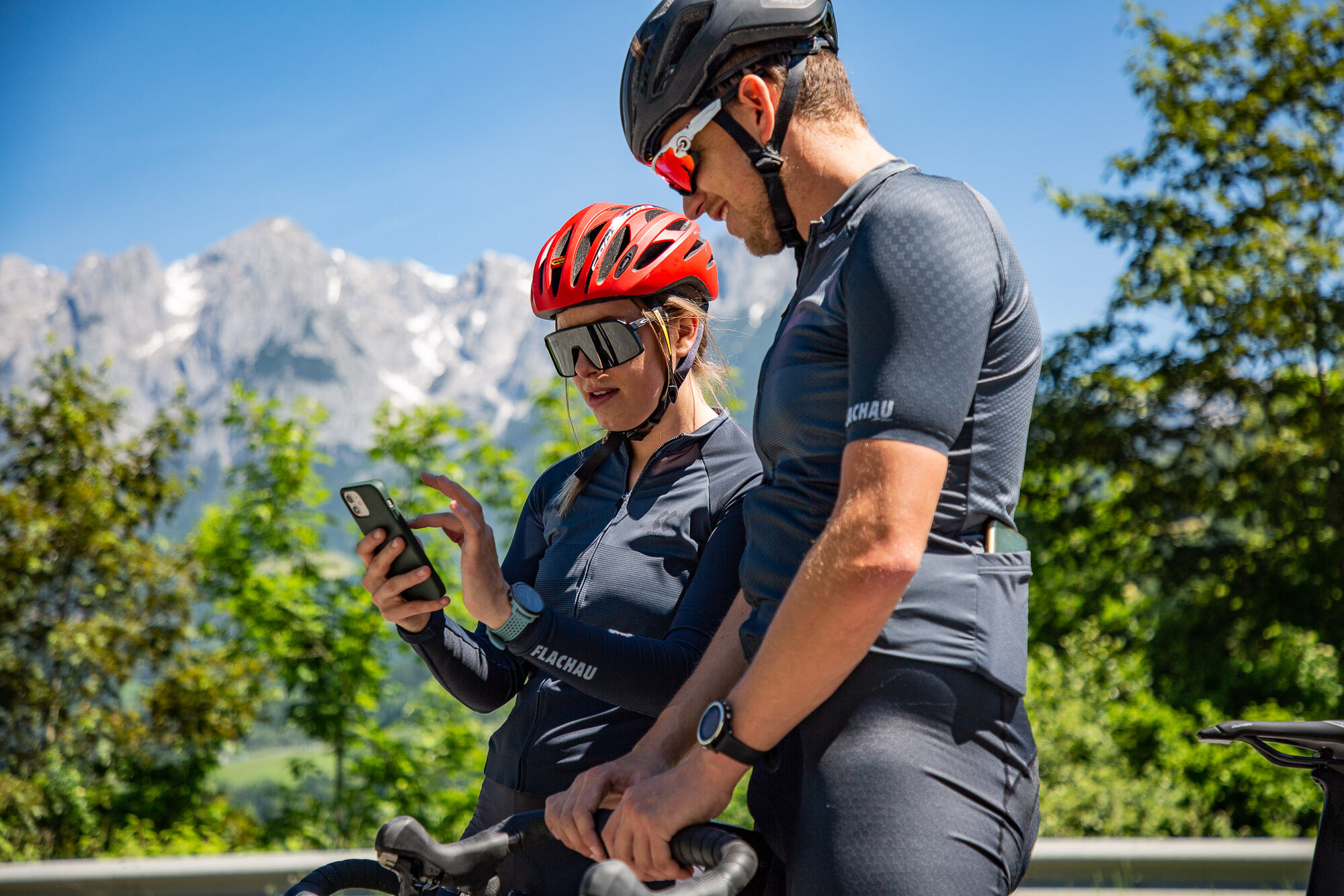
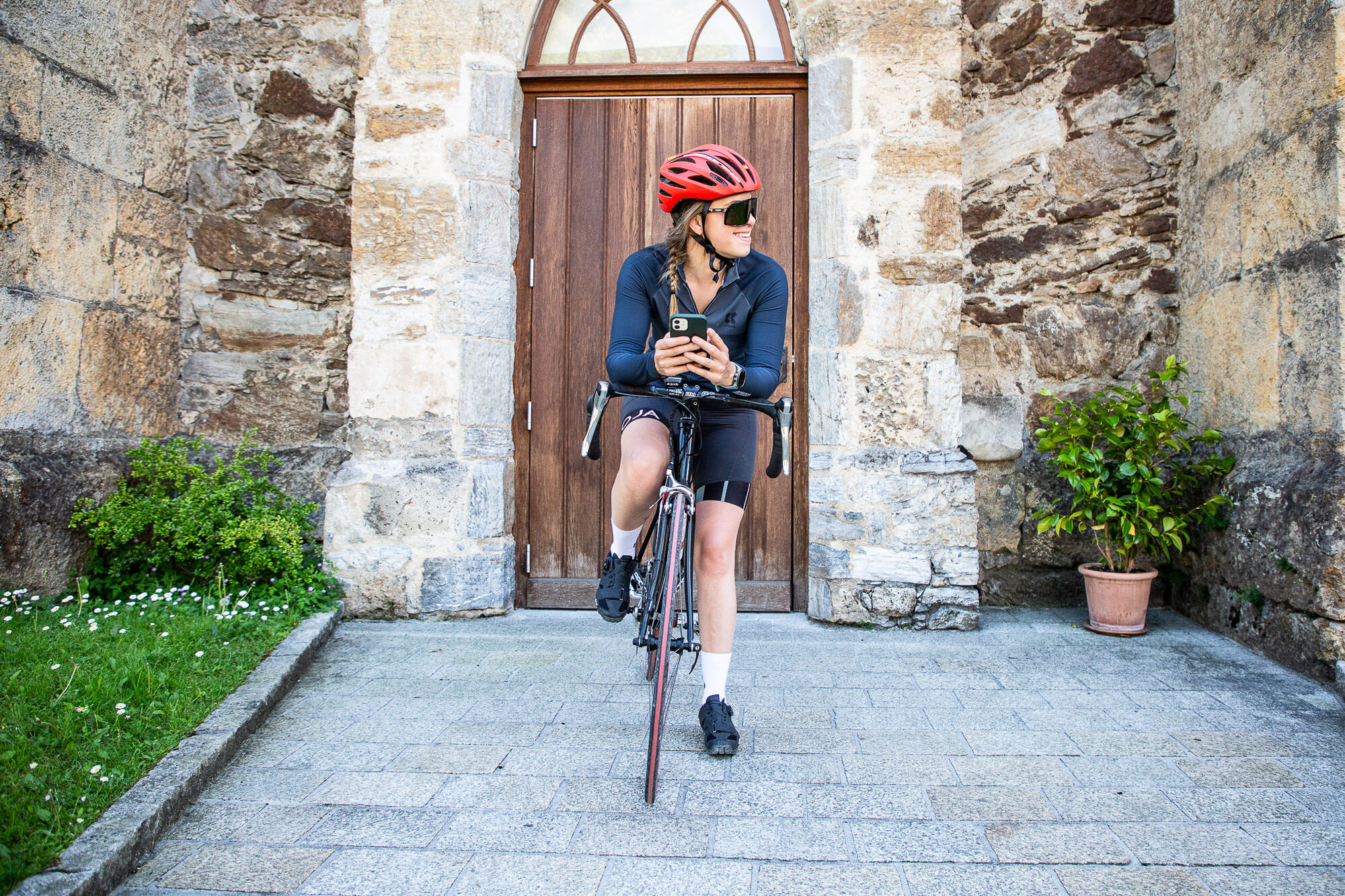
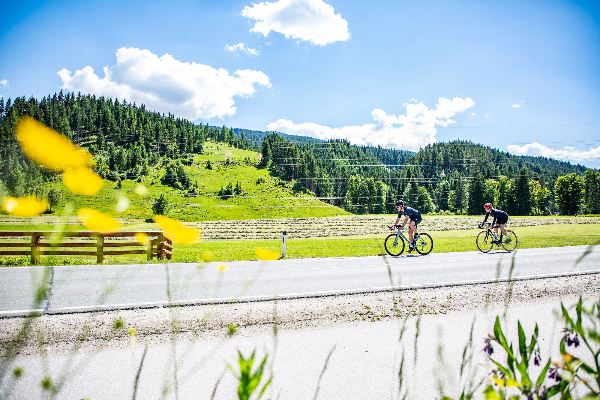


Start at the tourist office Flachau – follow the mainstreet in direction to the roundabout at the beginning of Flachau – straight on (2nd exit) into the Gemeindestraße to Reitdorf – after the municipal office turn right in direction to Altenmarkt – after the highway underground at km 5 turn left – pass the ski company Atomic and at the hotel Kesselgrub turn left – after the crossing turn left in direction to Eben – after you passed the center in Eben you follow the way through Niedernfritz and Hüttau (Fritztal) up to Bischofshofen – from Bischofshofen follow the road to St. Johann and in the center turn left in direction to Wagrain – constant rise up to Wagrain – in the center of Wagrain (next to the church) turn left and take the federal road back to Flachau
protective gear enough to drink and eat for inbetween sunglasses, optionally sun cream or rain cover mobile phone
to Flachau Center / Flachau Tourist Office
Parking space near the starting point.
At the tourist info Flachau you get a bike map with information to this tour.

Spletne kamere s turneje
-
Bergstation achterjet
-
Gernkogel - Alpendorf St. Johann
-
Bischling
-
Radstadt - Simonyhof
-
Altenmarkt - Sinnhubbauer
-
Altenmarkt - Schartner
-
Kemahdhöhe
-
Pfarrwerfen Feratel
-
Talstation 8 EUB
-
Reitlehenalm
-
Kemahdhöhe
-
Bischofshofen-Kreuzberg
-
Pfarrwerfen
-
Pfarrwerfen Feratel
-
Pfarrwerfen Feratel
-
Pfarrwerfen Feratel
-
Pfarrwerfen Feratel
-
Pfarrwerfen Feratel
-
Pfarrwerfen Feratel
-
Bischling
-
Bischling
-
Bischling
-
Bischling
-
Bischling
-
Bischling
-
St.Johann-Alpendorf Gernkogel
-
Altenmarkt - Habersatt
-
Gernkogel - Alpendorf St. Johann
-
Lumberjack Shuttle
-
Radstadt - Wasserwerk
-
SUN HOUSE Flachauwinkl/Mittelstation
-
Pfarrwerfen, Eulersberg
-
Ferienbauernhof Habersattgut
-
Wagrain / Hotel Wagrainerhof
-
Snow Space Salzburg - Flying Mozart
-
Gernkogel - Alpendorf St. Johann
-
Gernkogel - Alpendorf St. Johann
-
Gernkogel - Alpendorf St. Johann
-
Gernkogel - Alpendorf St. Johann
-
Snow Space Salzburg - woom bike area
Pridobite vpogled
Vedno v živo na mestu z več kot 9.500 spletnimi kamerami. bergfex Kot uporabnik Pro si lahko zdaj ogledate ustrezne spletne kamere za številne izlete v aplikaciji izleti iz. Tako si lahko neposredno ogledate trenutne razmere.
Priljubljeni izleti v okolici
-
4.9
Werfenweng Mountainbikerunde Söldenhütte
srednjaMountainbike 18.8 km -
4.8
Summit storming route Taghaube
težkoPohodništvo 6.25 km -
4.7
About the "Four Huts circular route" to Windraucheggalm
srednjaPohodništvo 10.1 km -
4.6
Panorama hike to the Hochkeil
srednjaPohodništvo 6.07 km -
3.6
Wanderung zur Ostpreußenhütte in Werfen (1.630 m)
srednjaPohodništvo 11.2 km -
4.9
Hochkönig - Gipfel der Gefühle - Matrashaus
težkoPohodništvo 20.9 km -
4.8
Liechtensteinklamm mit Helix
svetlobaTematska pot 3 km -
5.0
Großarl: Heukareck
srednjaPohodništvo 12.5 km -
4.7
Wengerau - Tauernkogel - Eiskogel - Napf - Wengerau
srednjaVisokogorska tura 15.5 km -
4.2
Mühlbacher Höhenweg
srednjaPohodništvo 11.2 km
Pohodništvo in sledenje


Ne zamudite ponudb in navdiha za naslednje počitnice
Vaš e-poštni naslov je bil dodan na poštni seznam.





