






Kaisertour - Großglockner
Stopnja težavnosti: 5
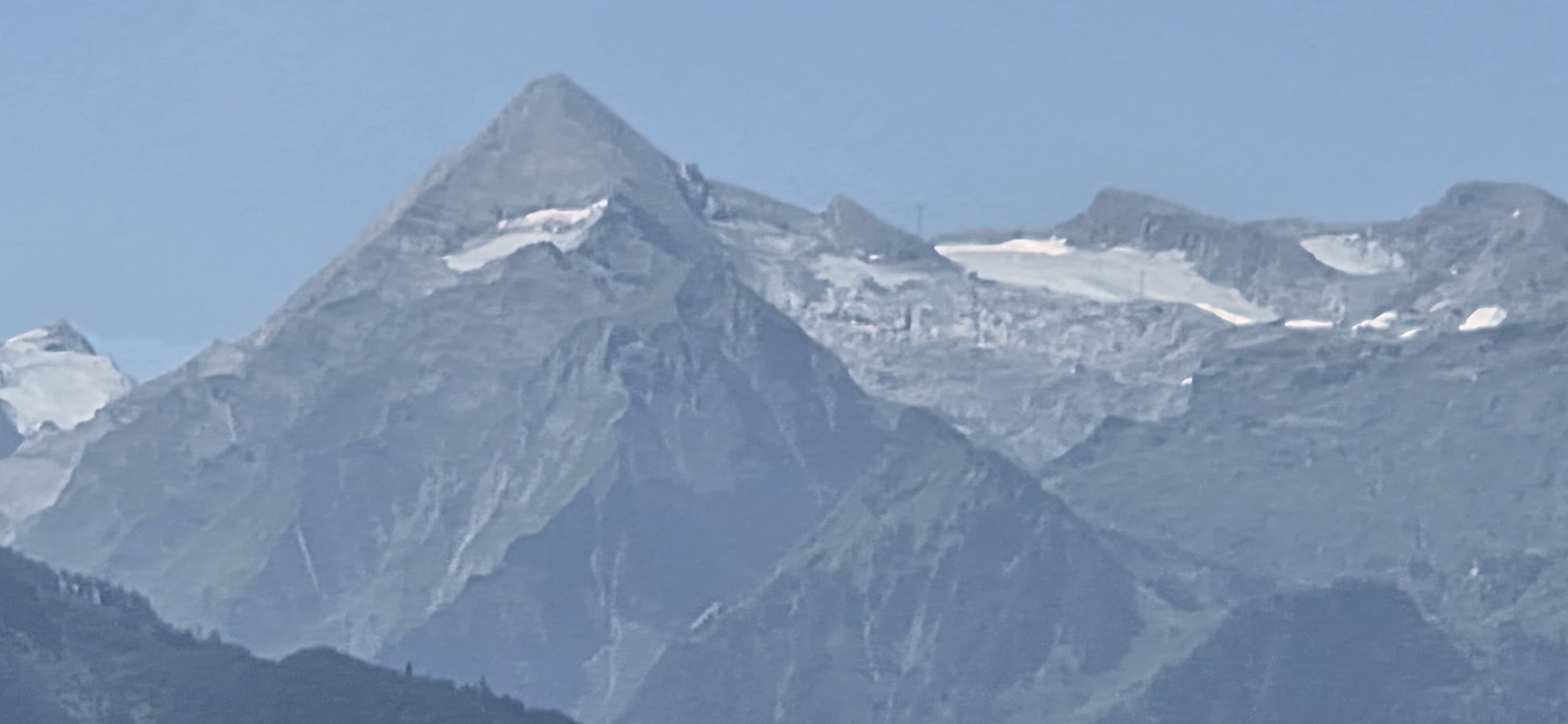
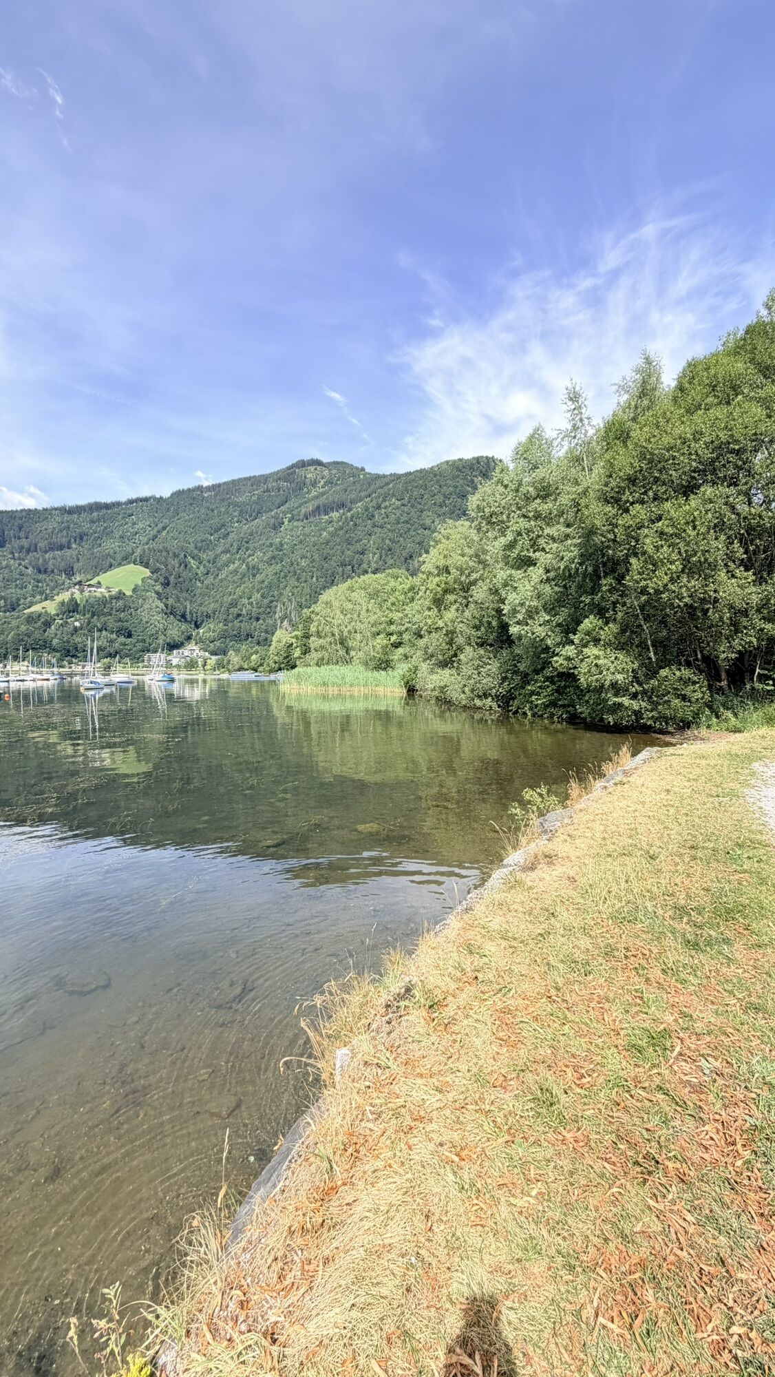
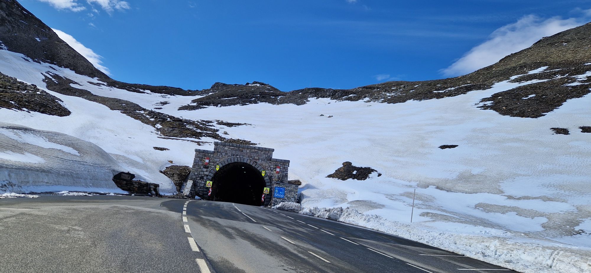
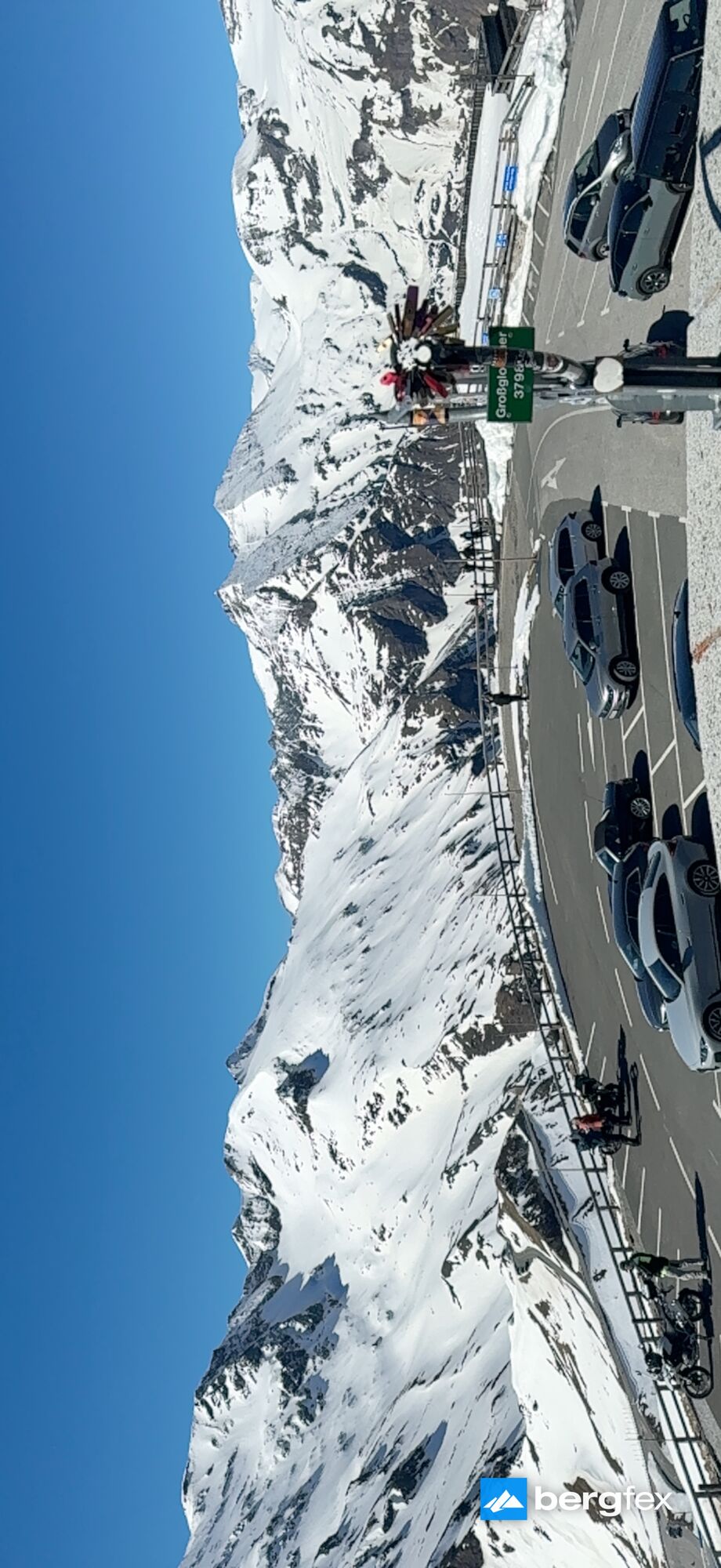
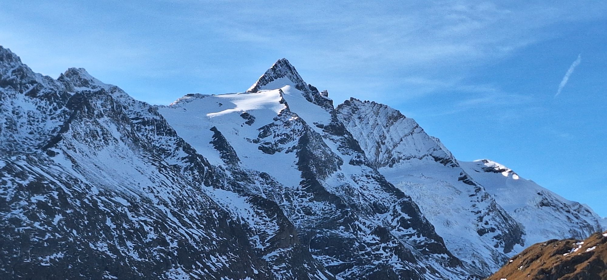
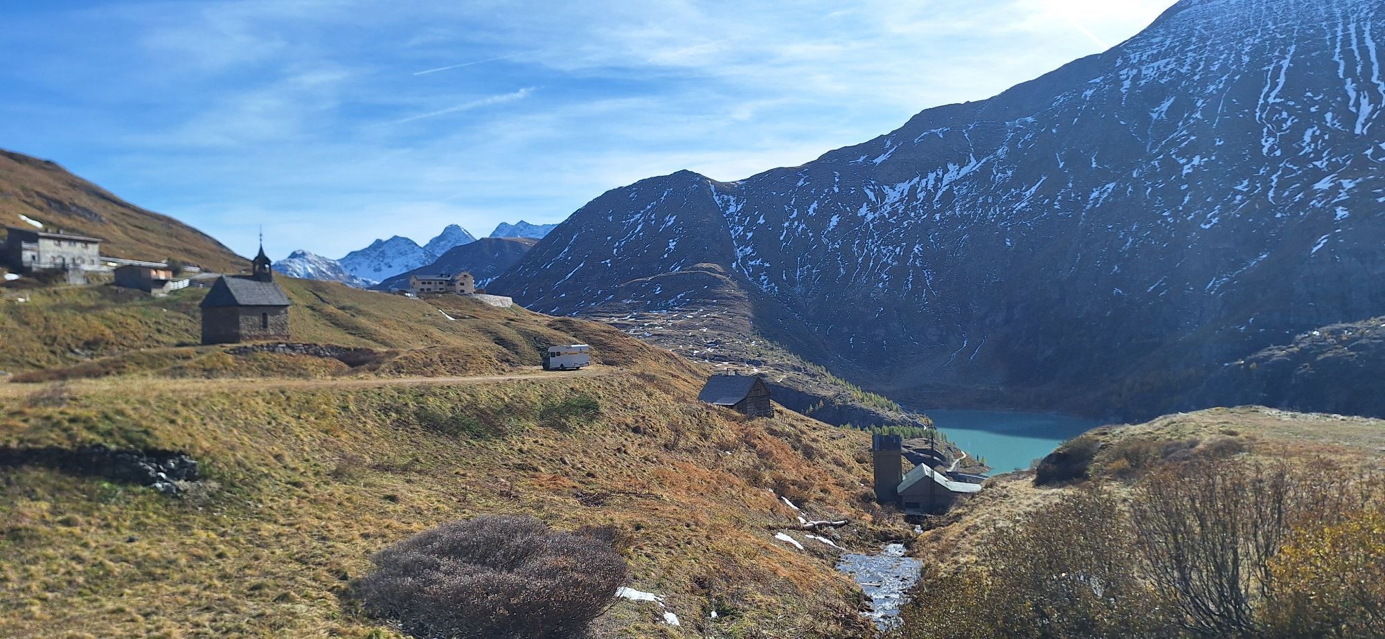
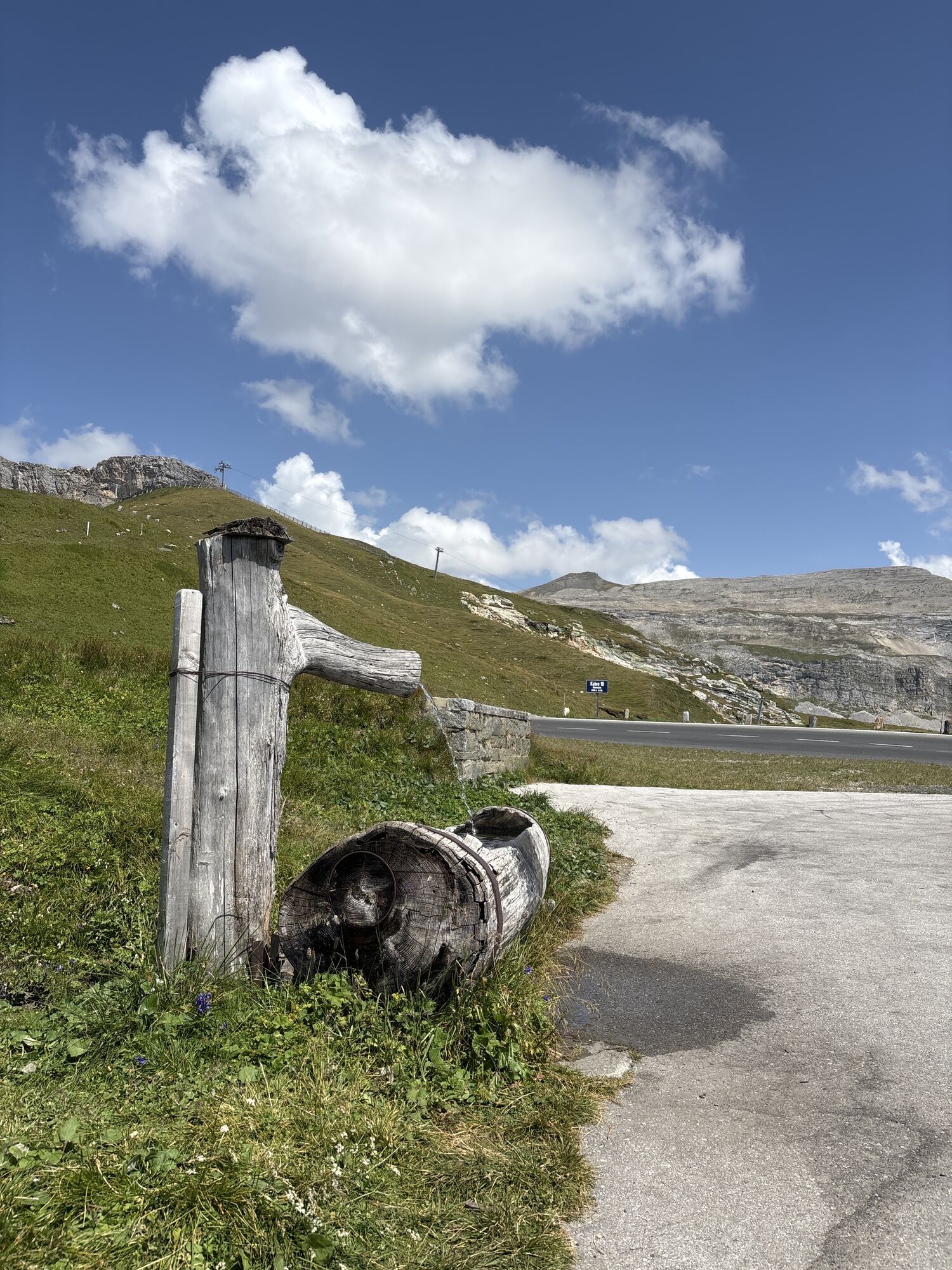
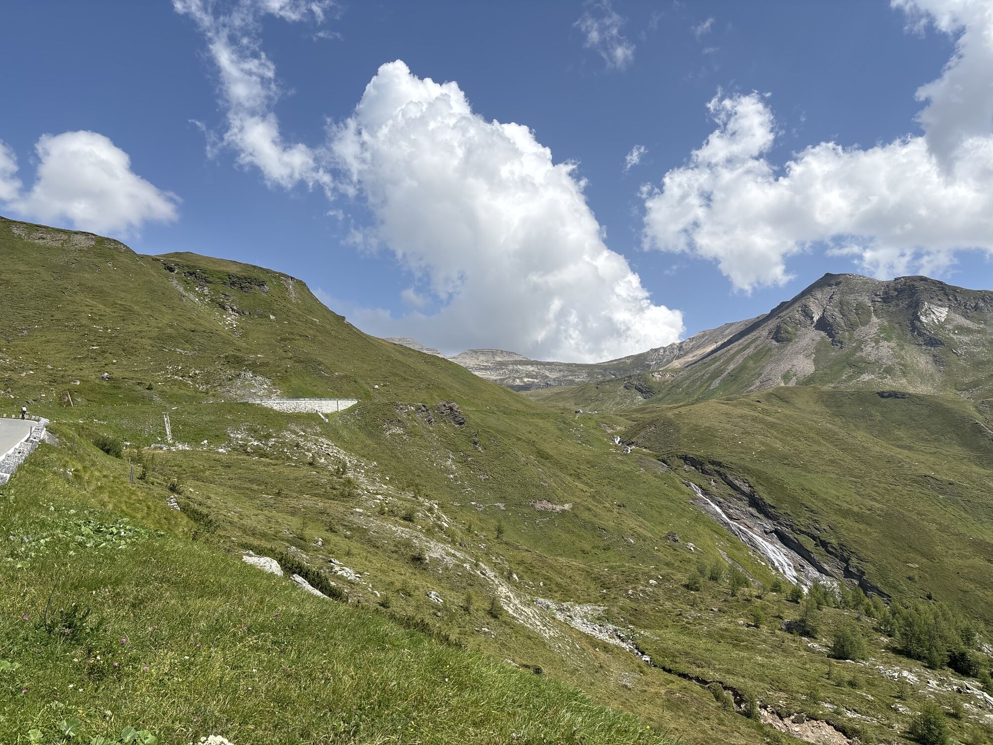
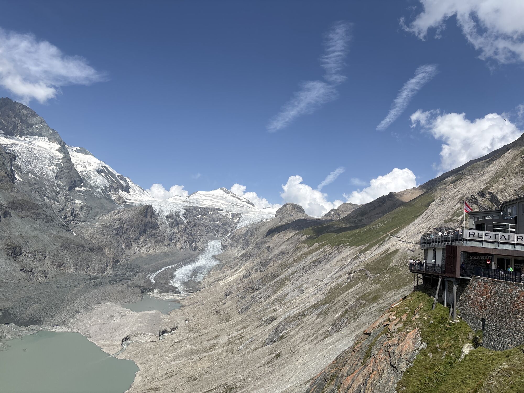
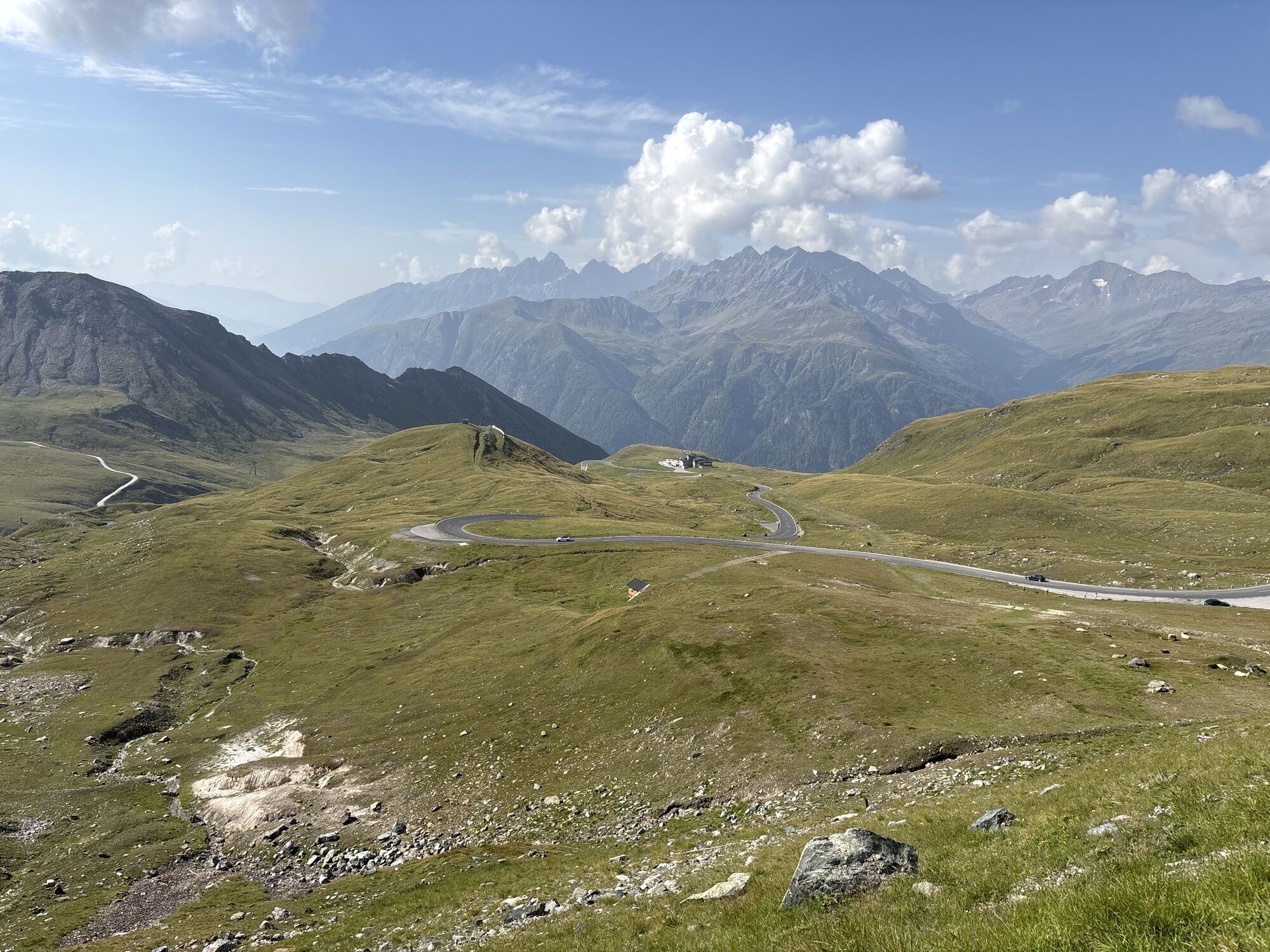
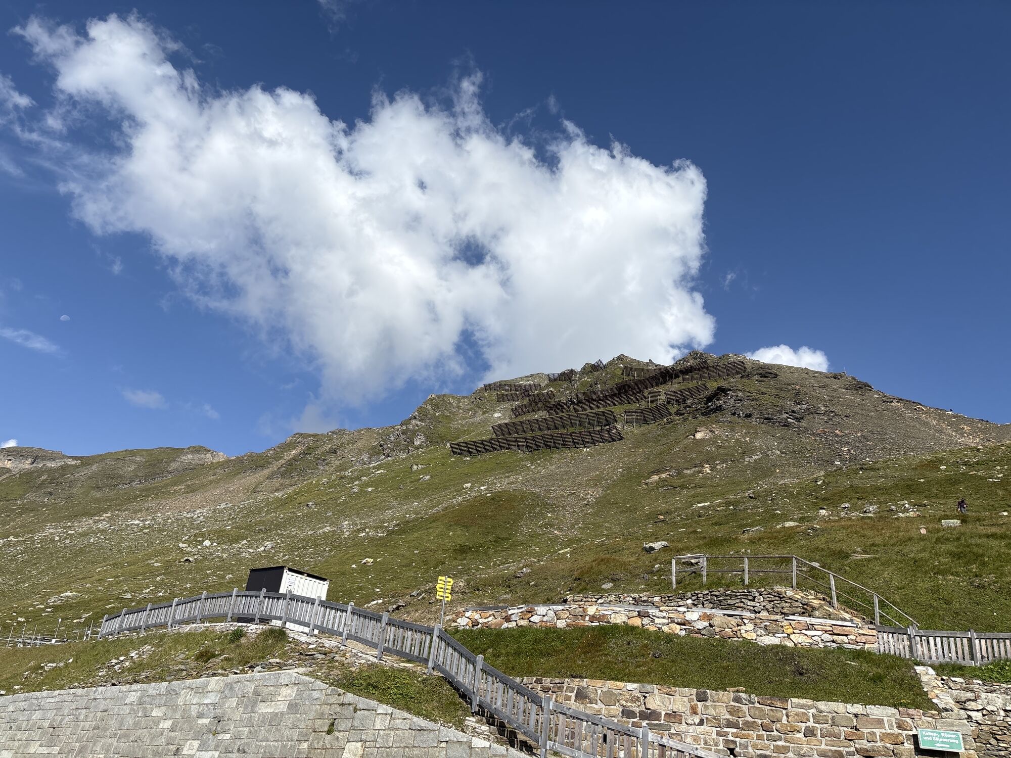
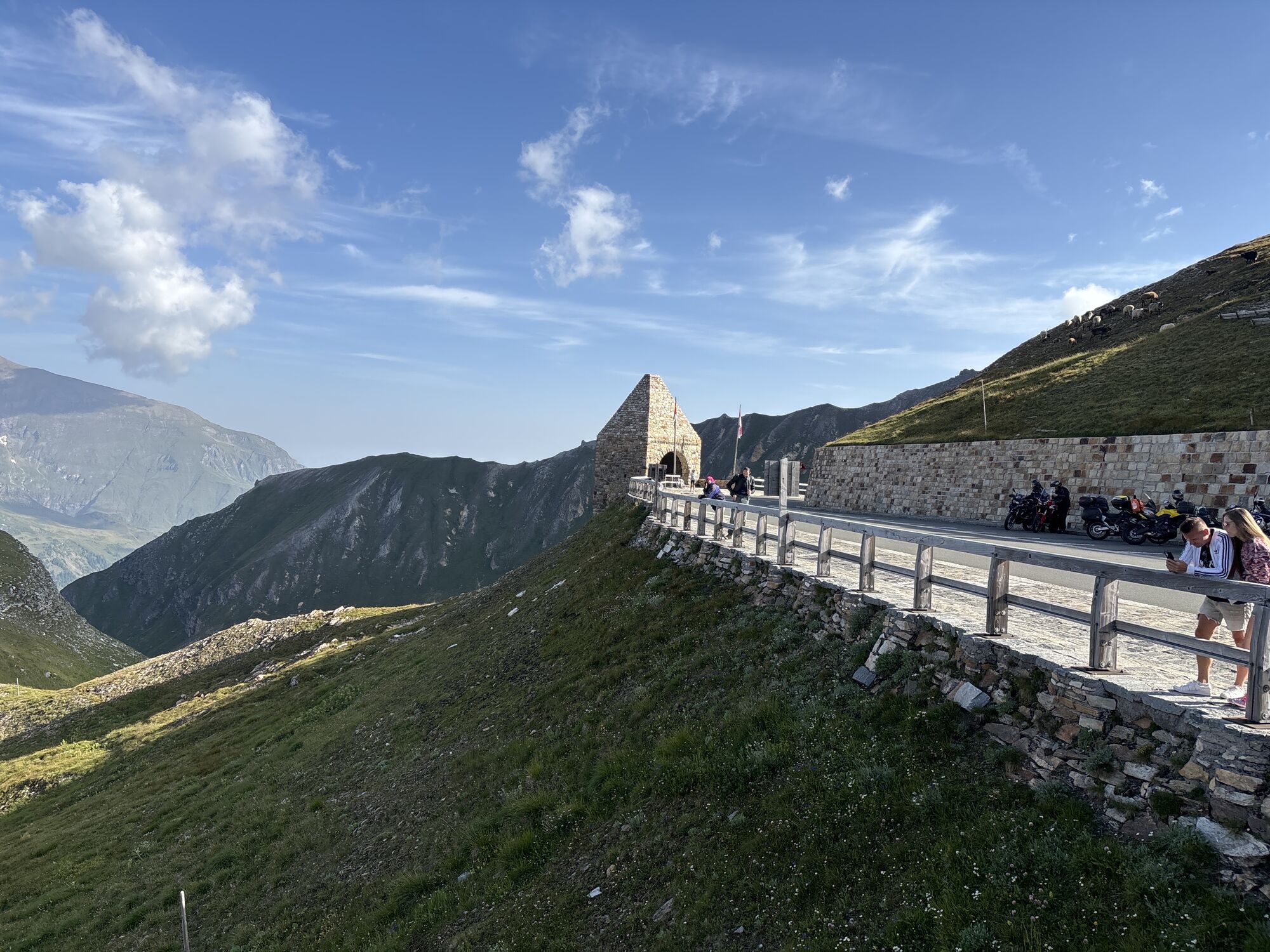
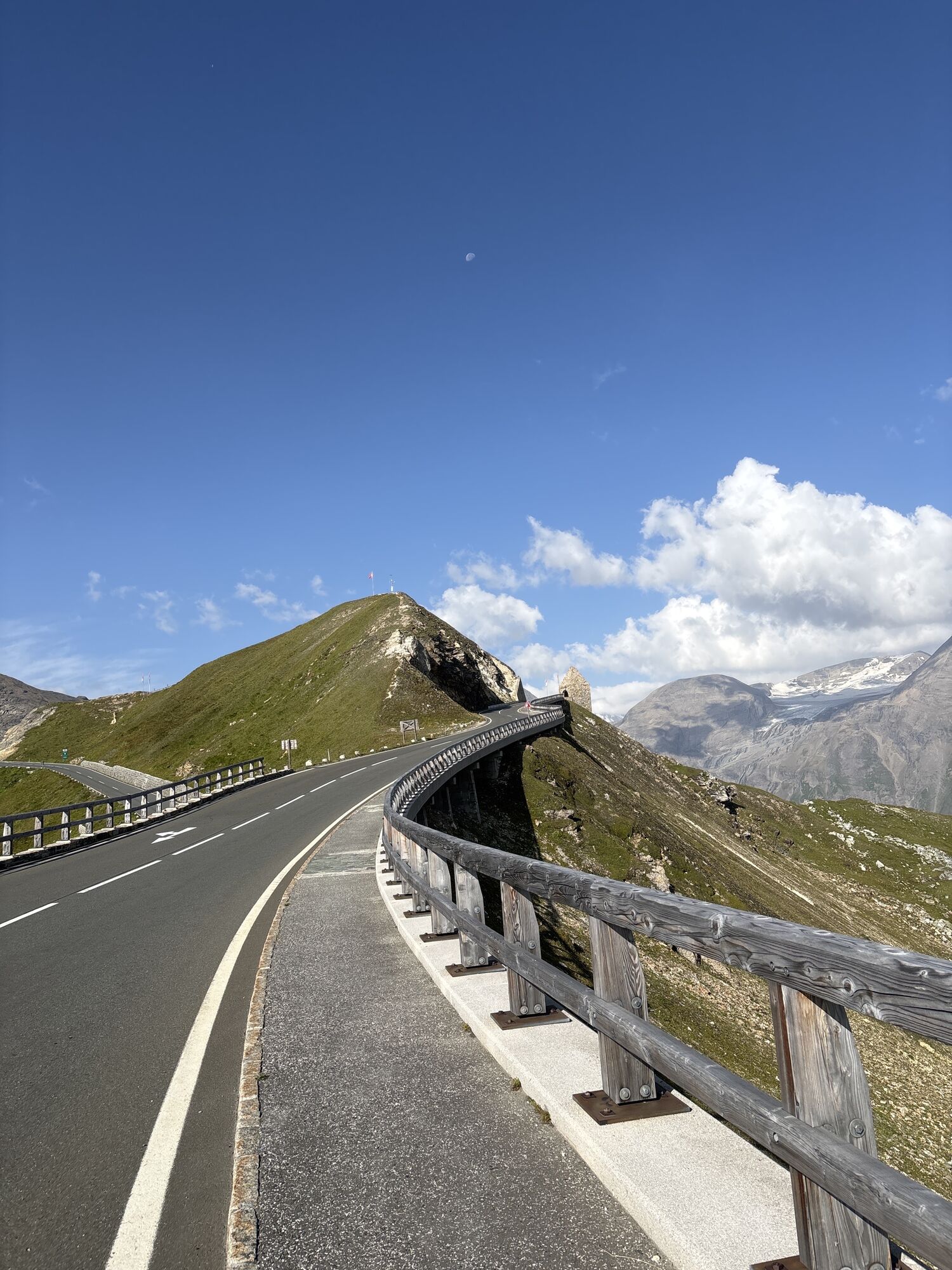
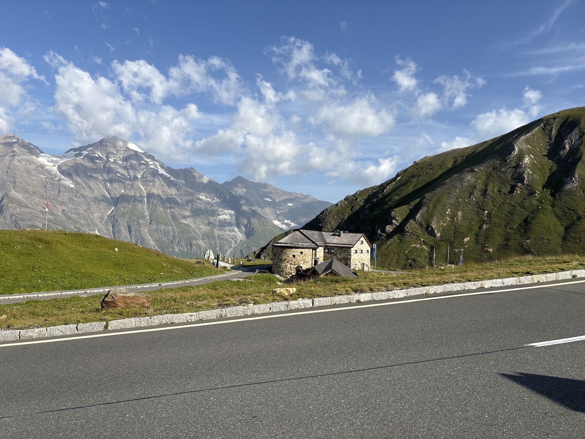
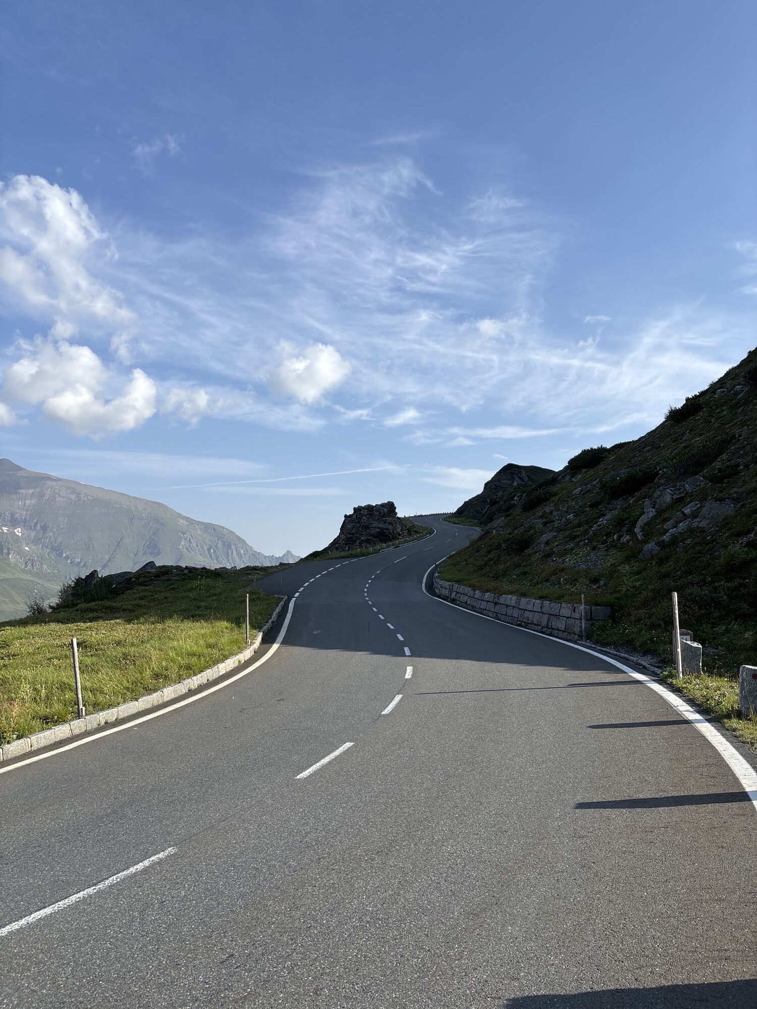
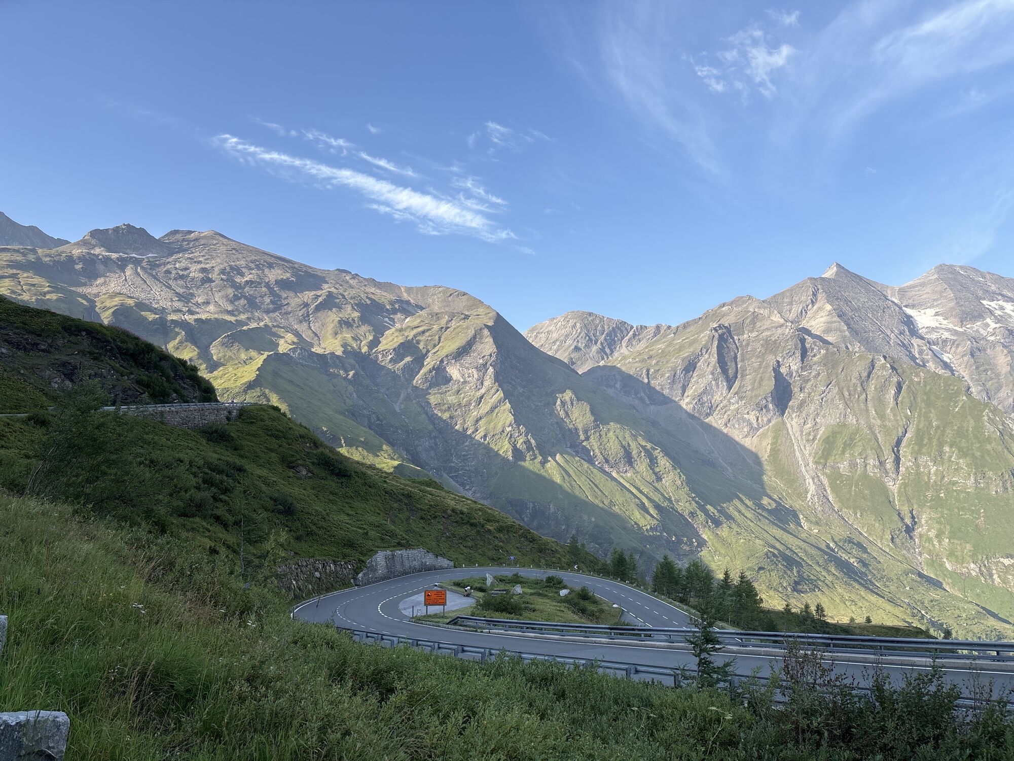
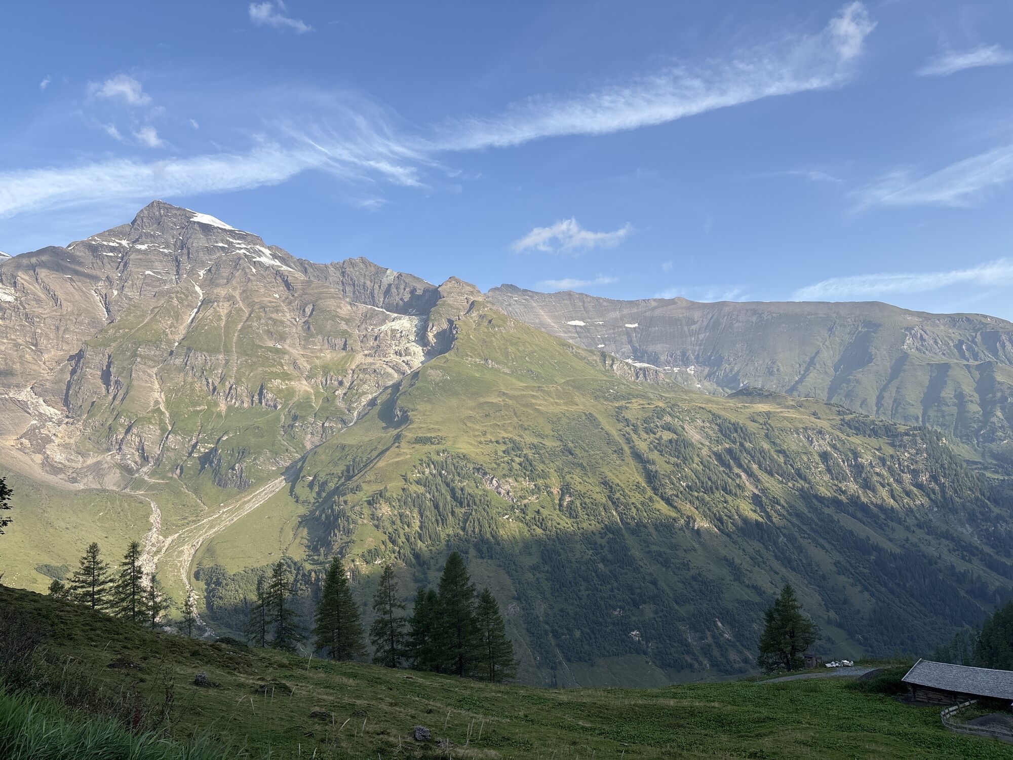
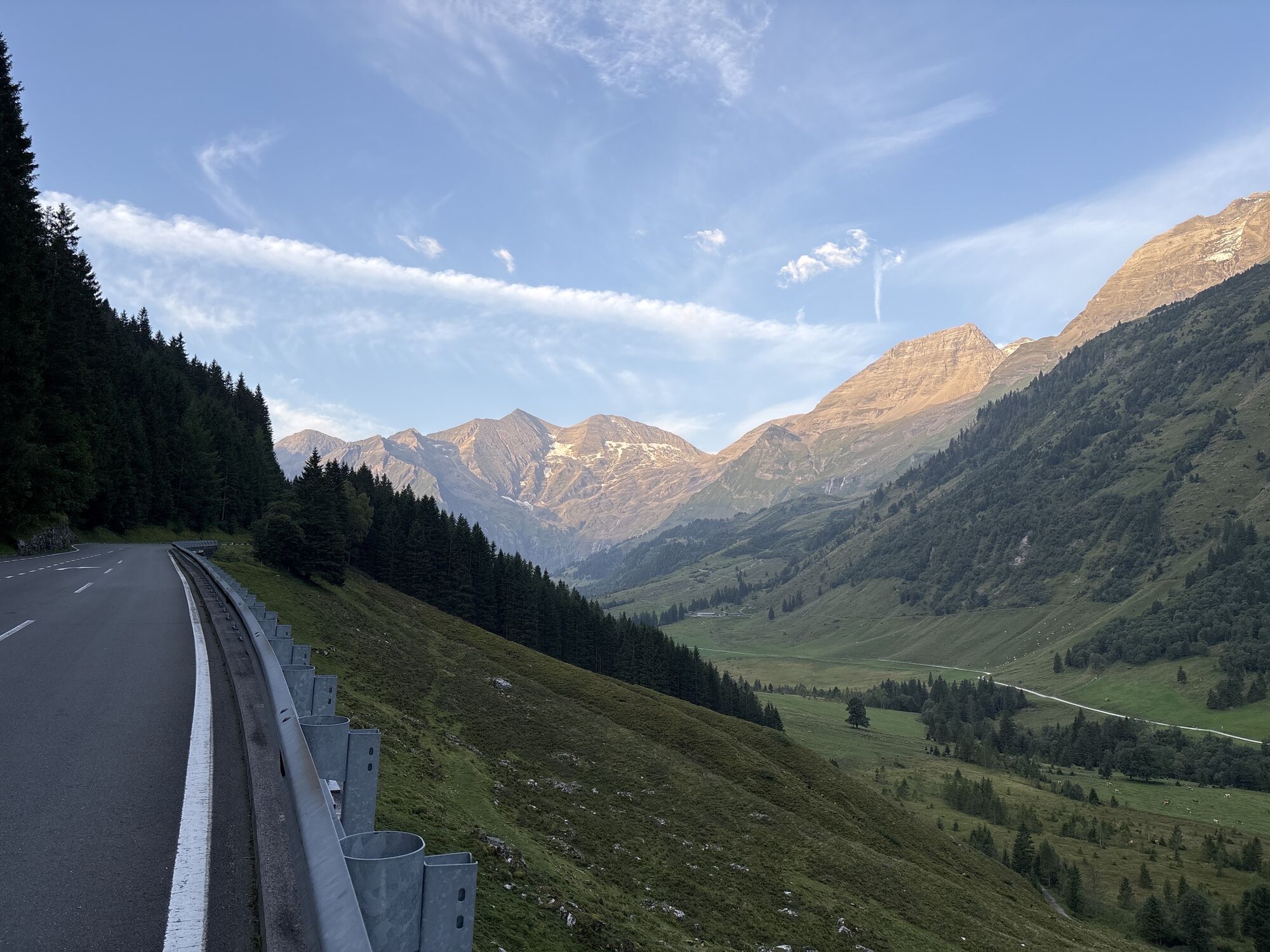

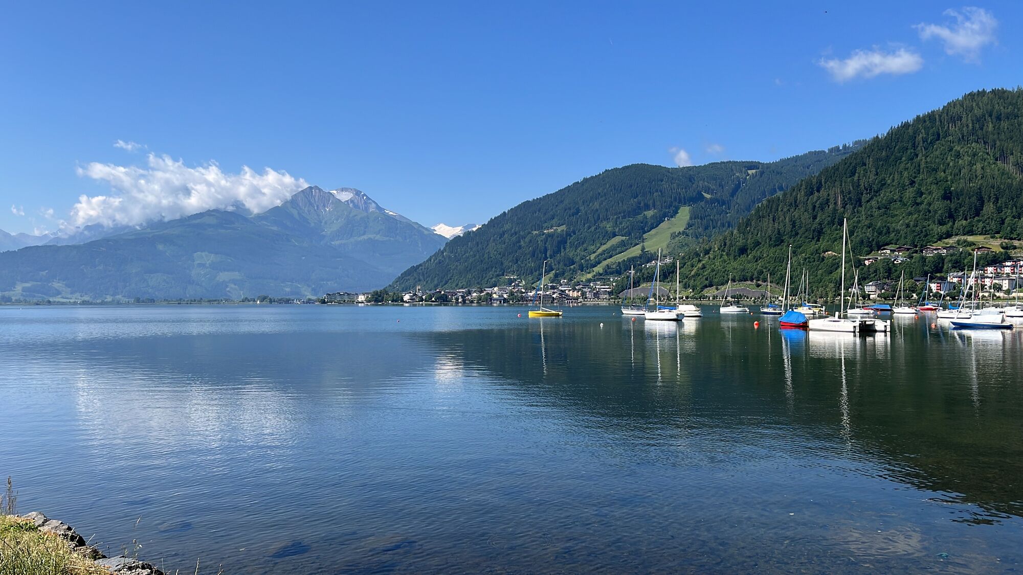
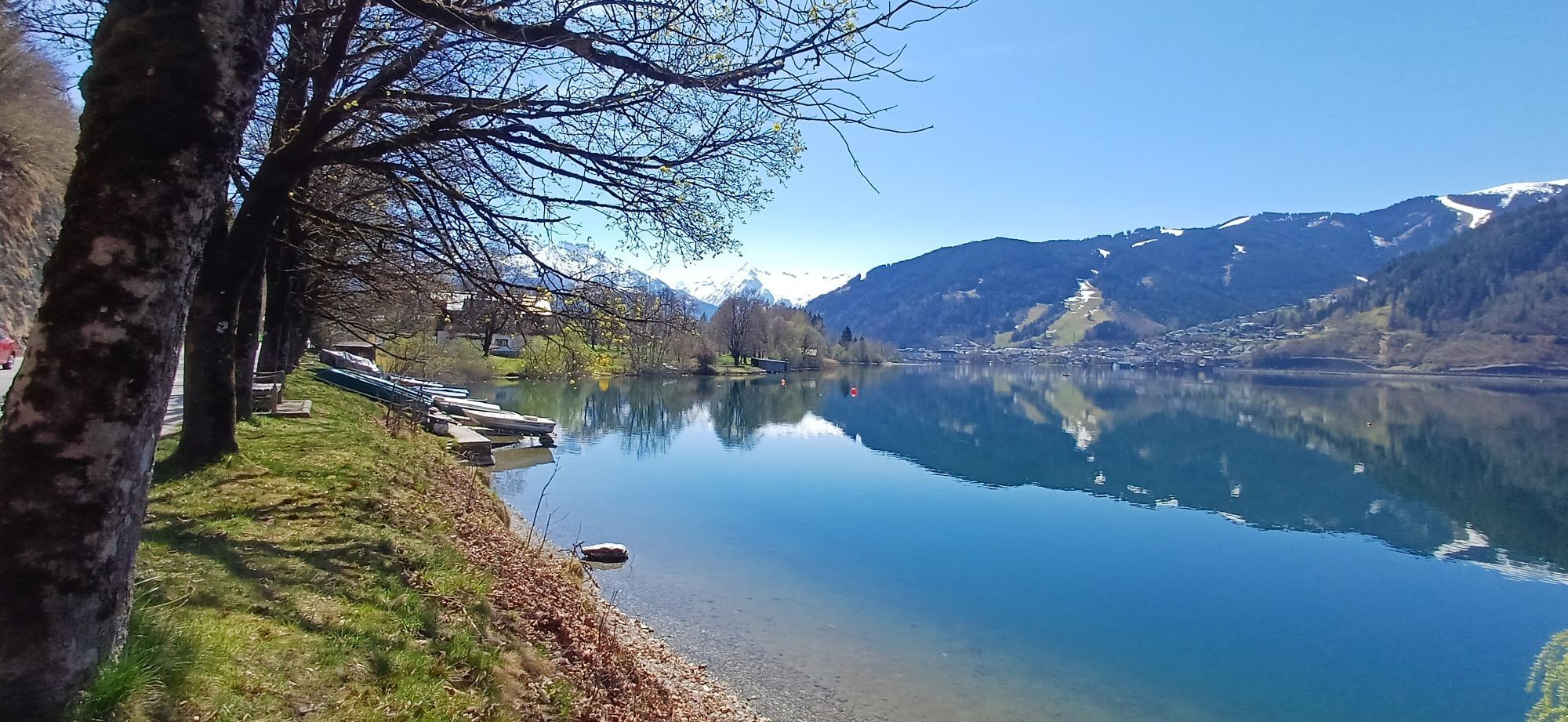
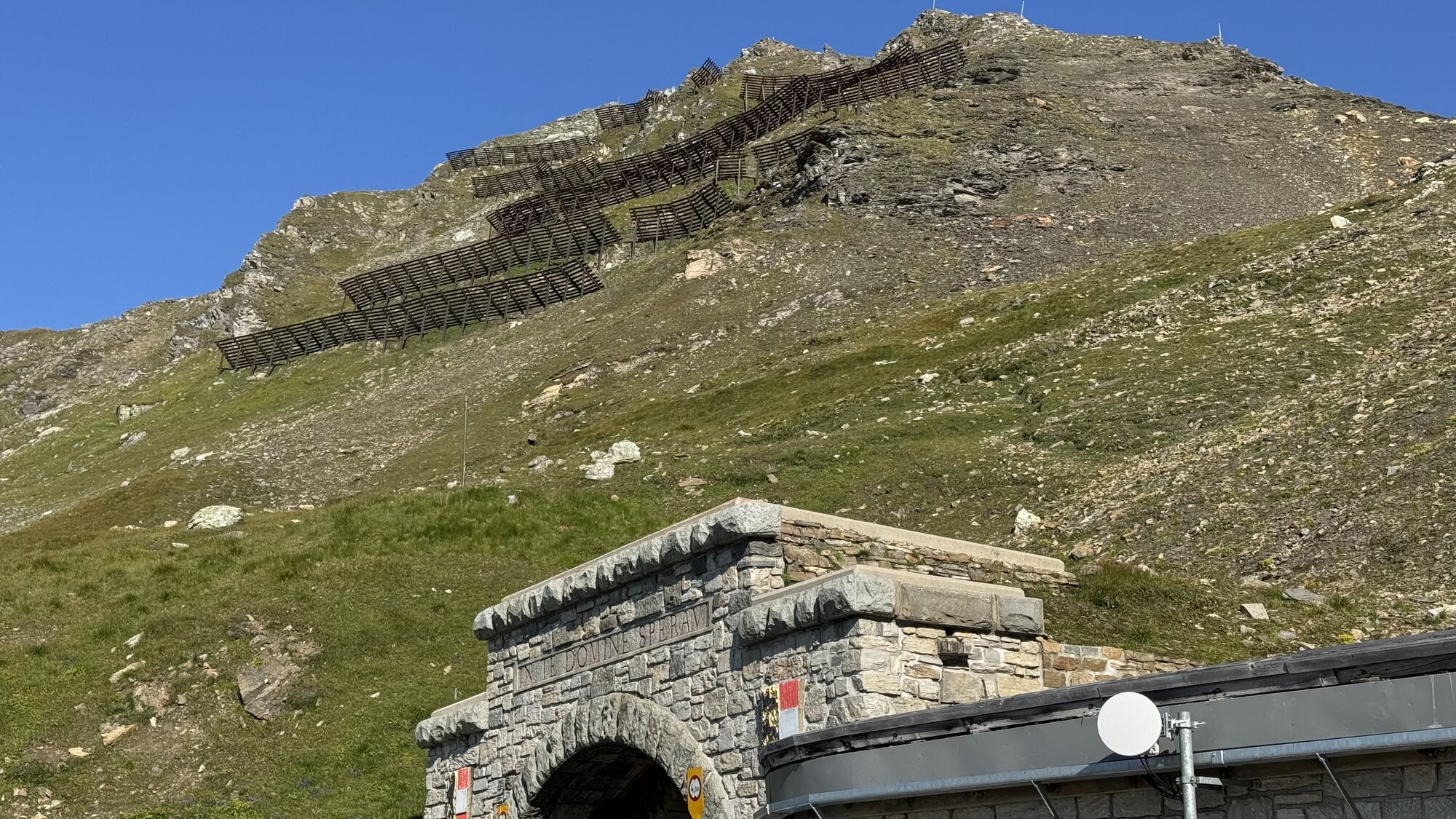
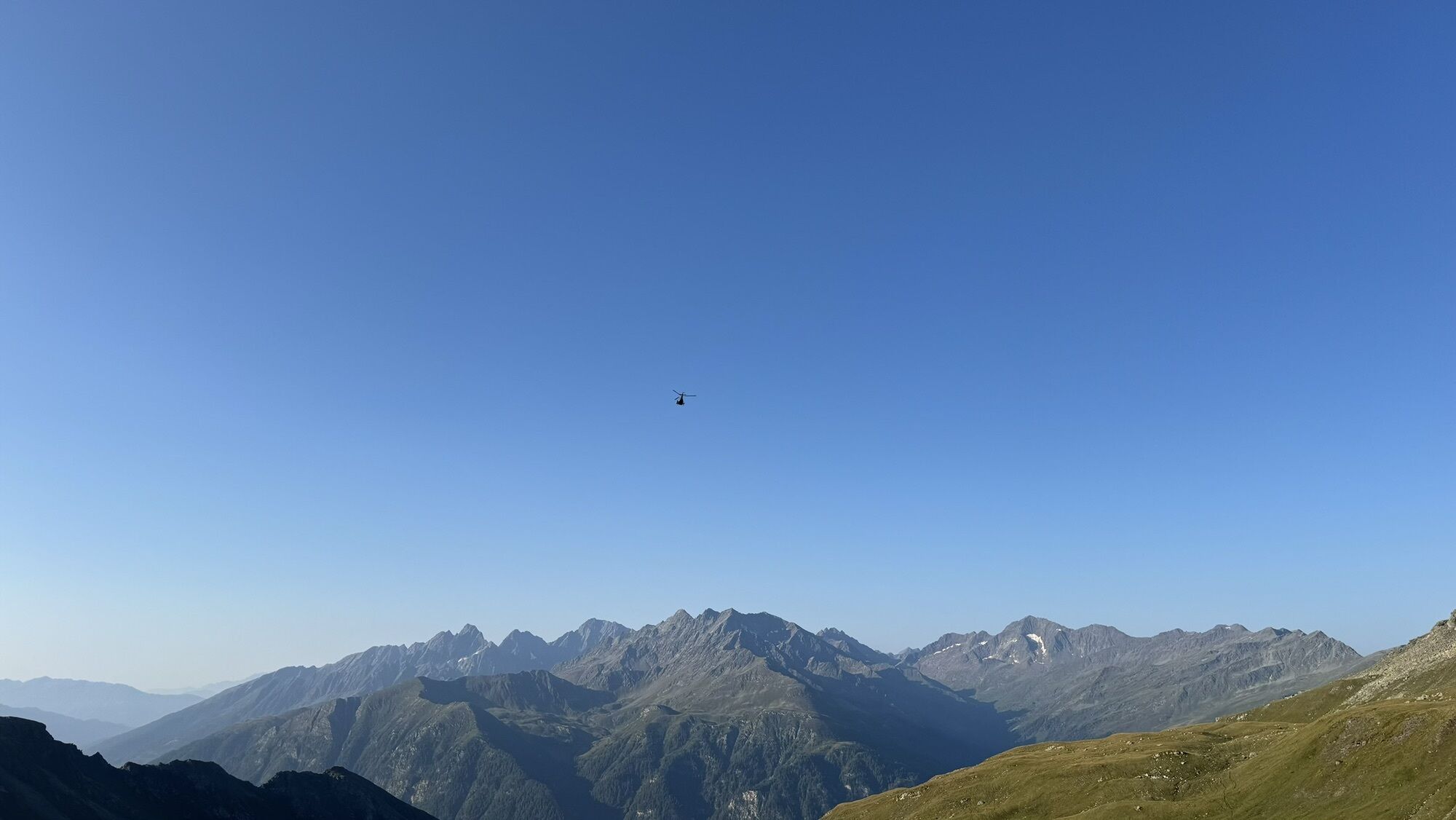
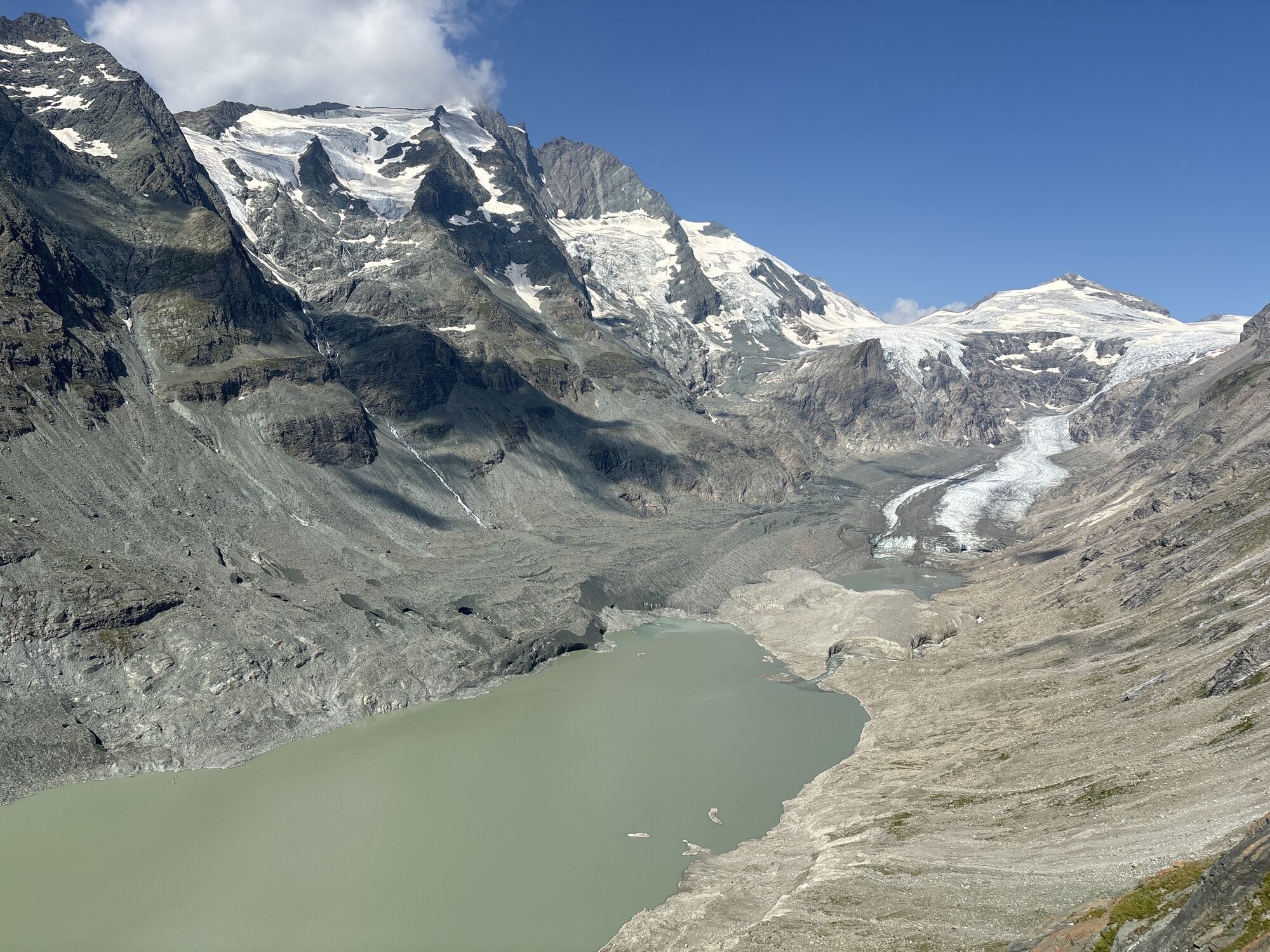

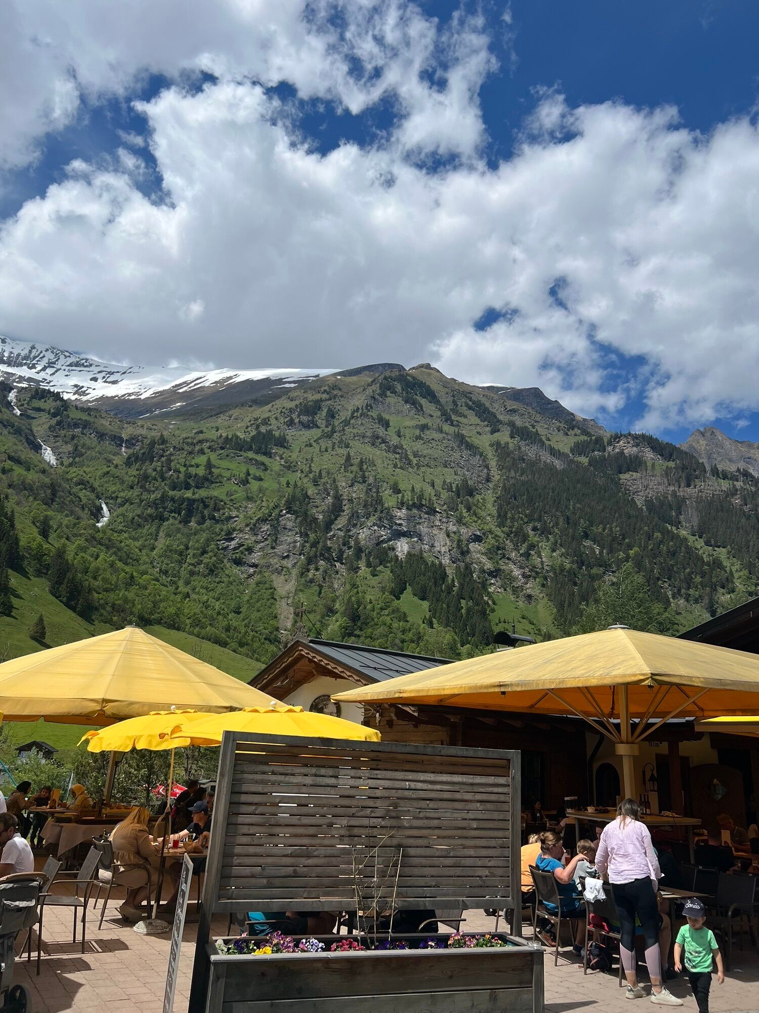
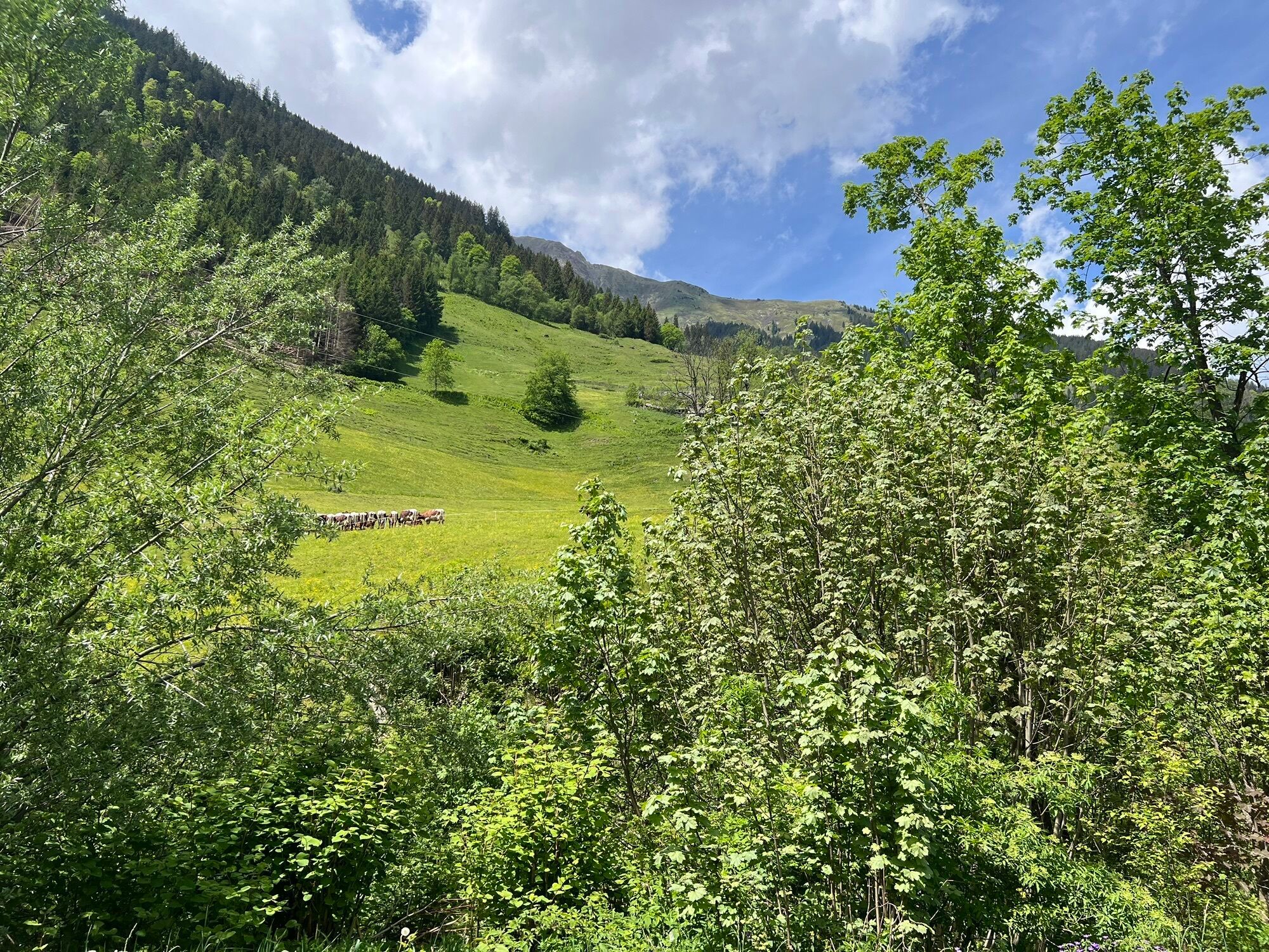
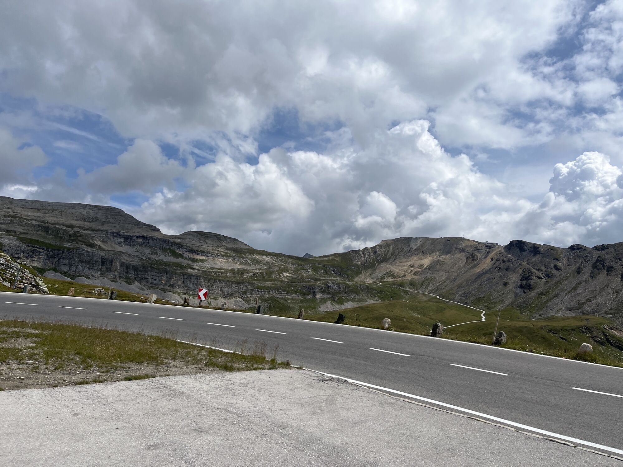
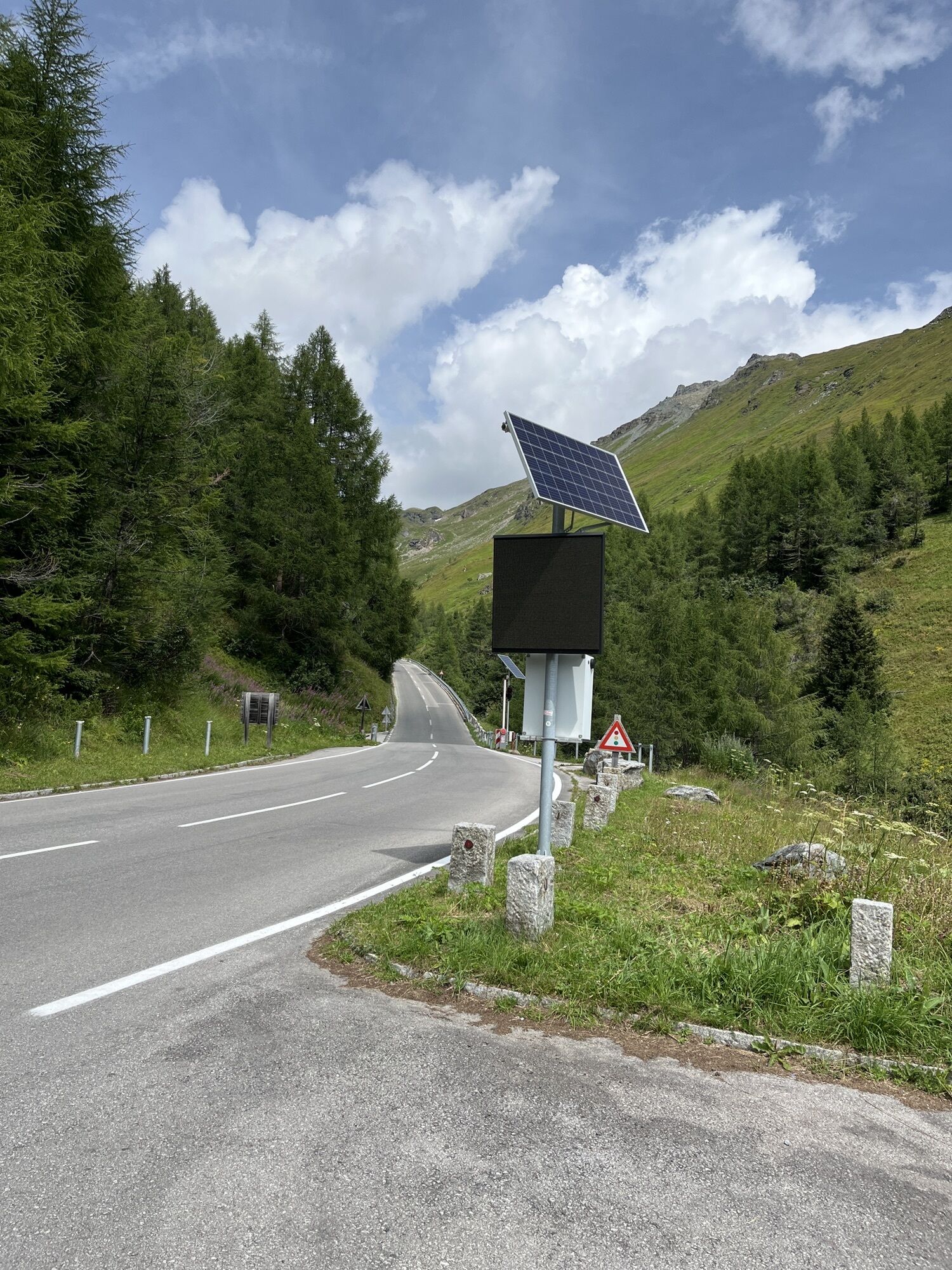
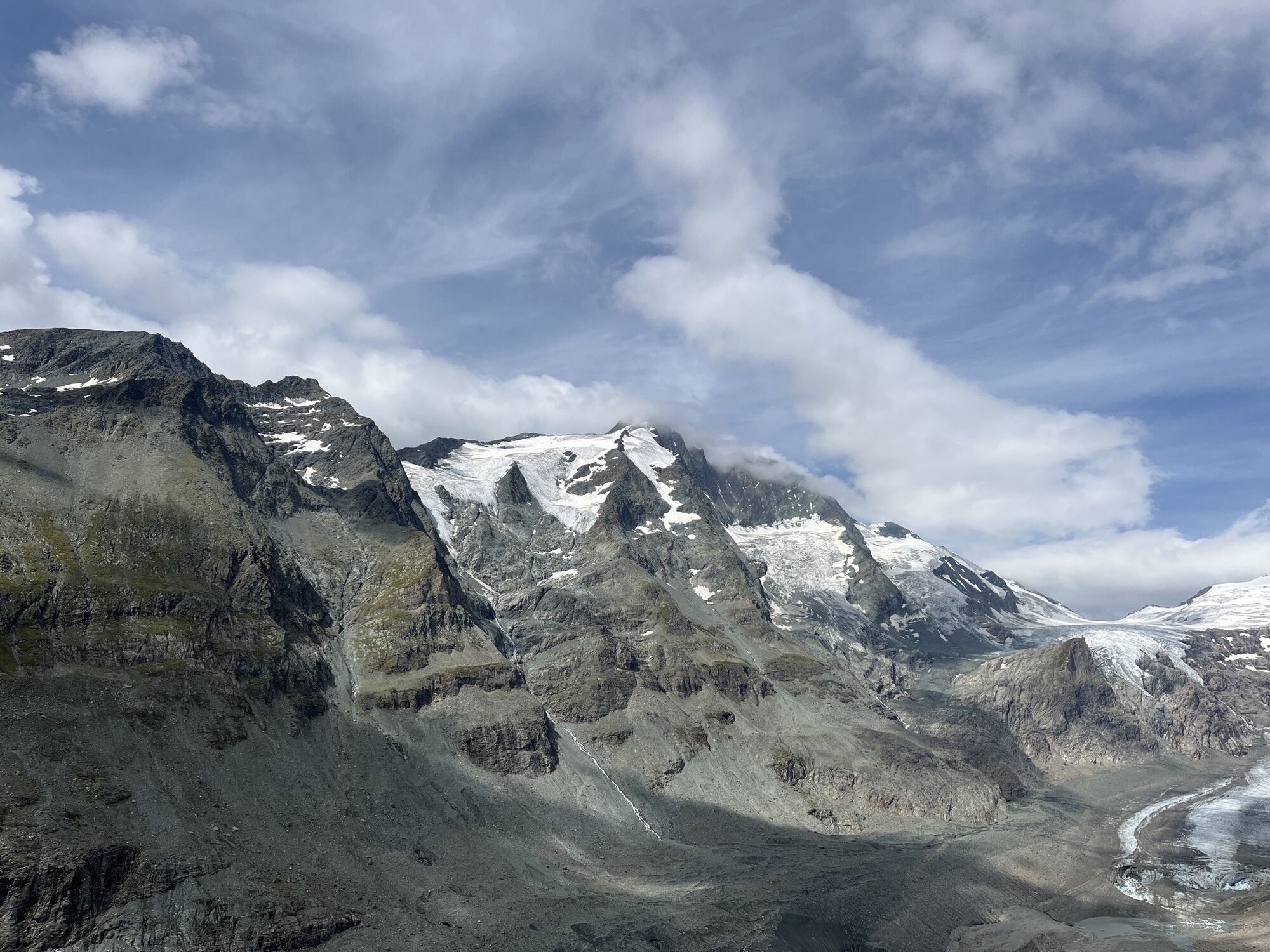
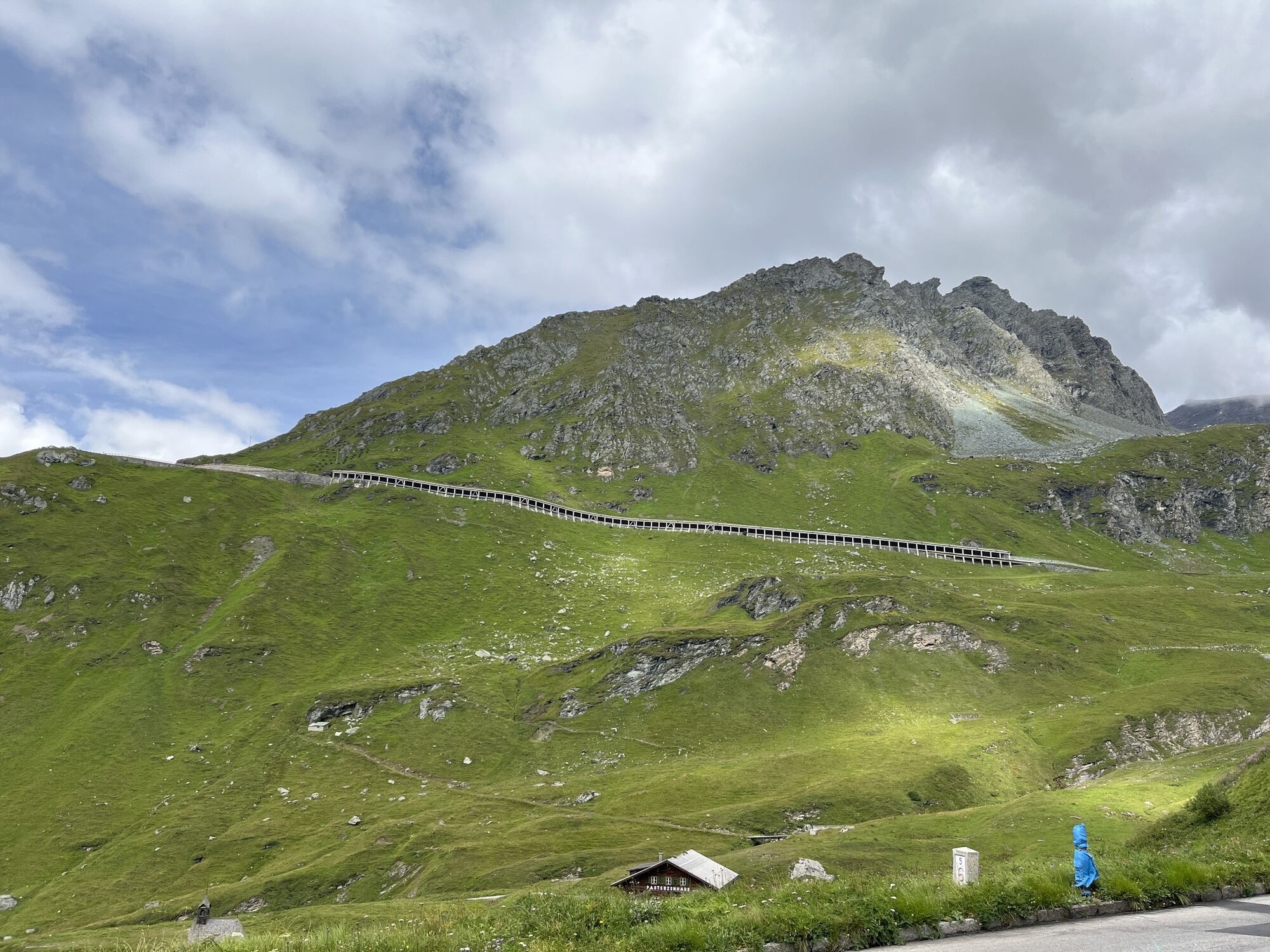
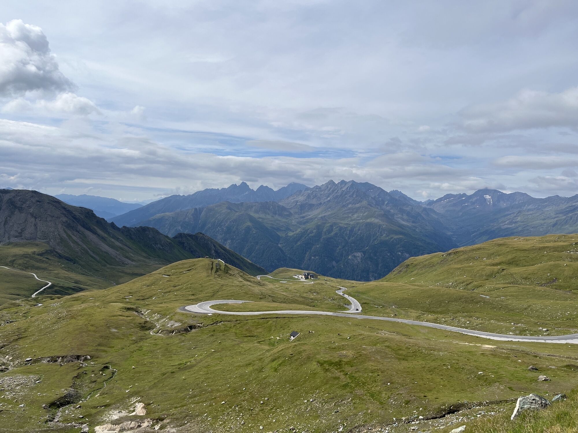
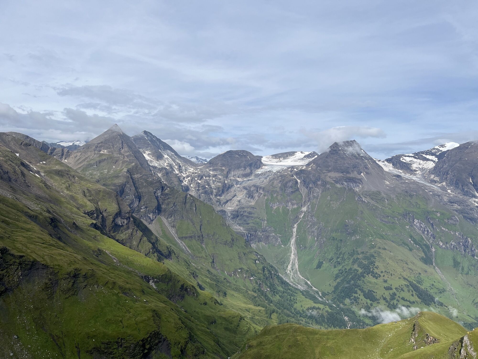
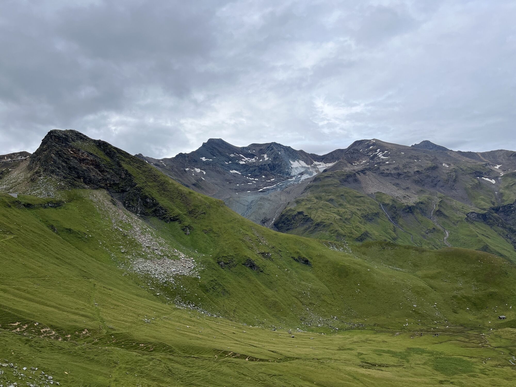
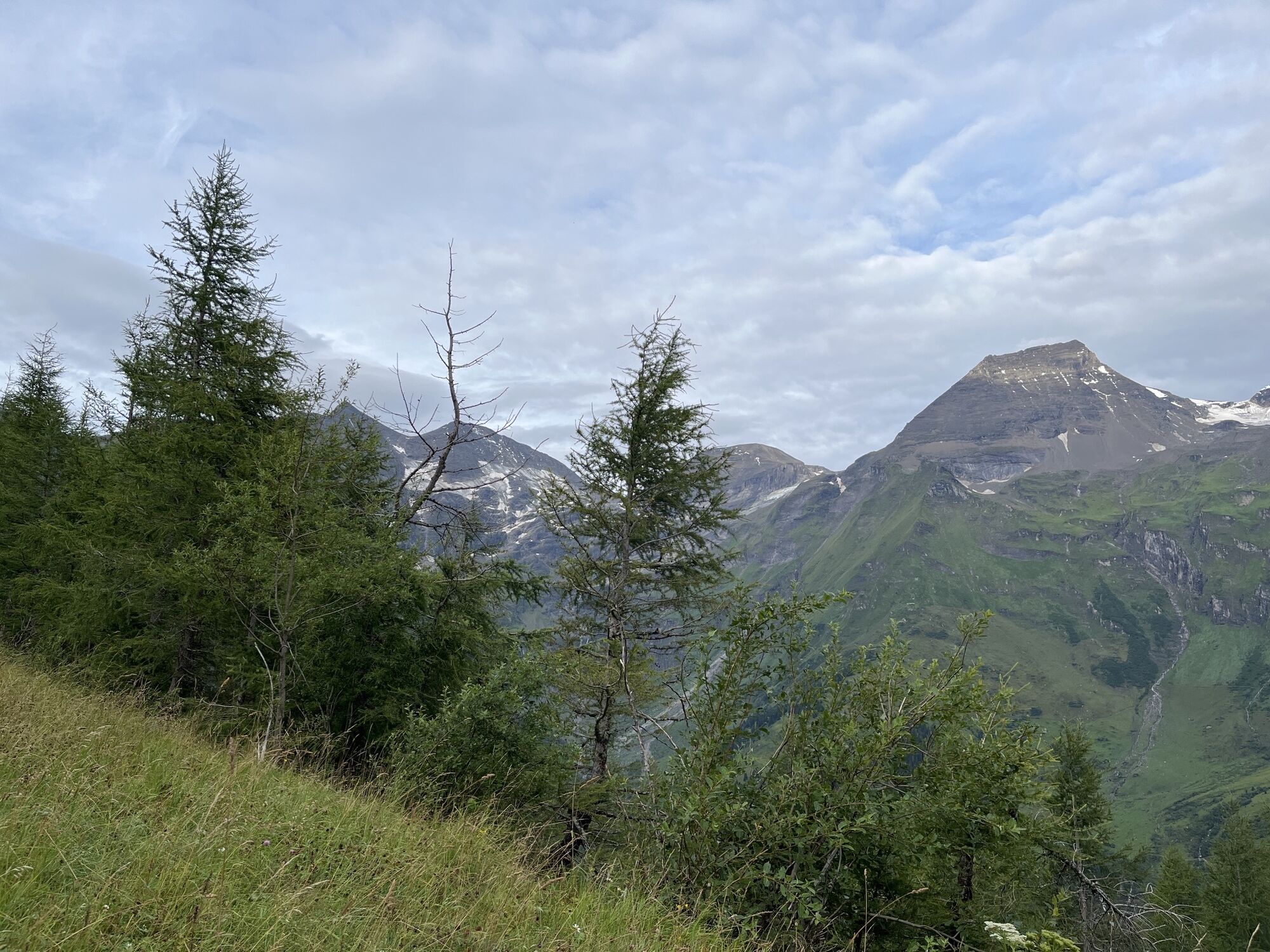
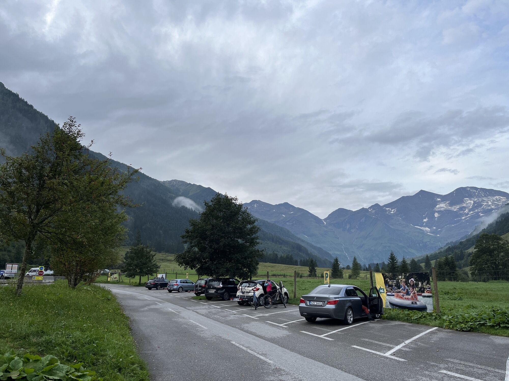
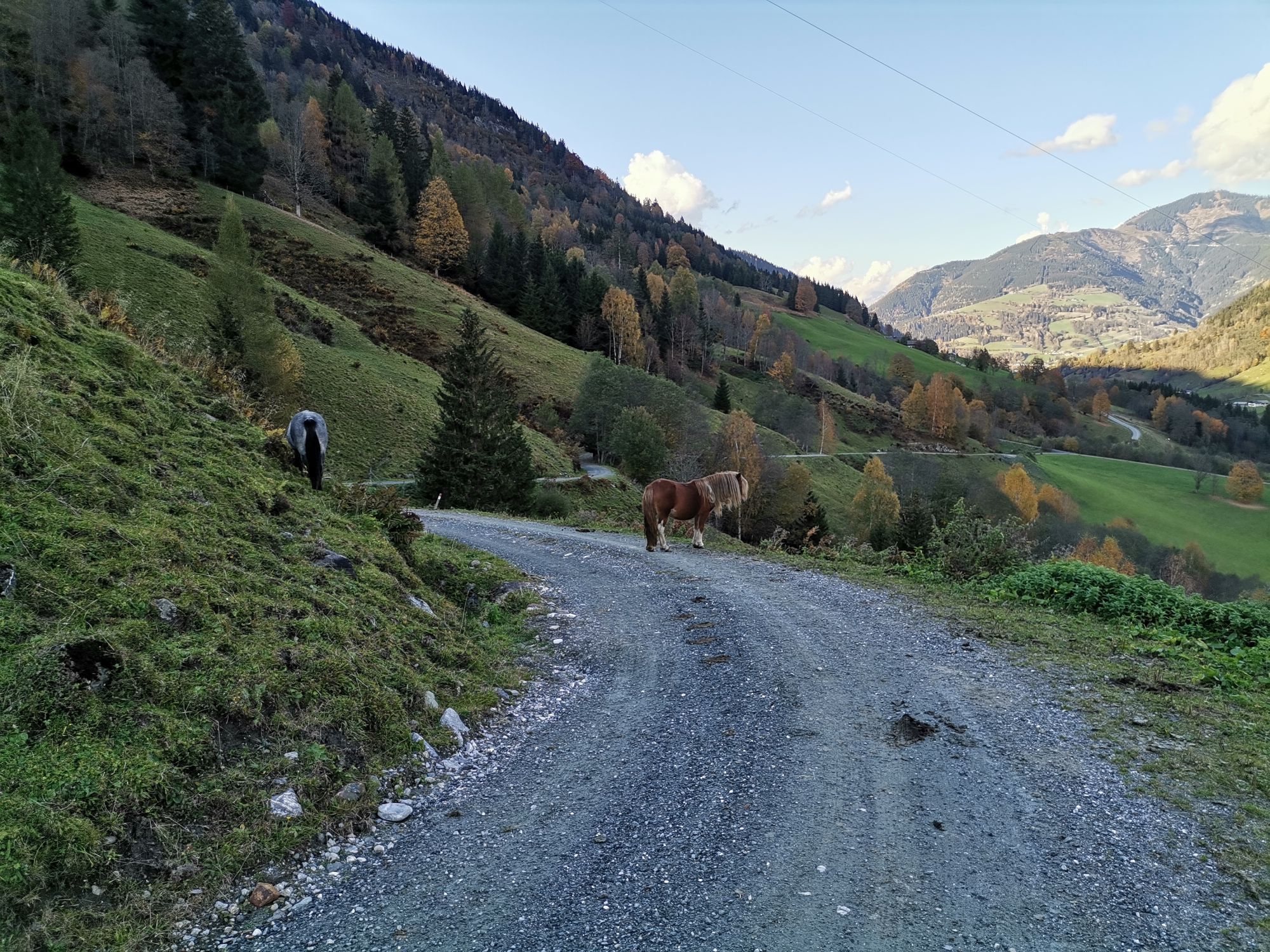
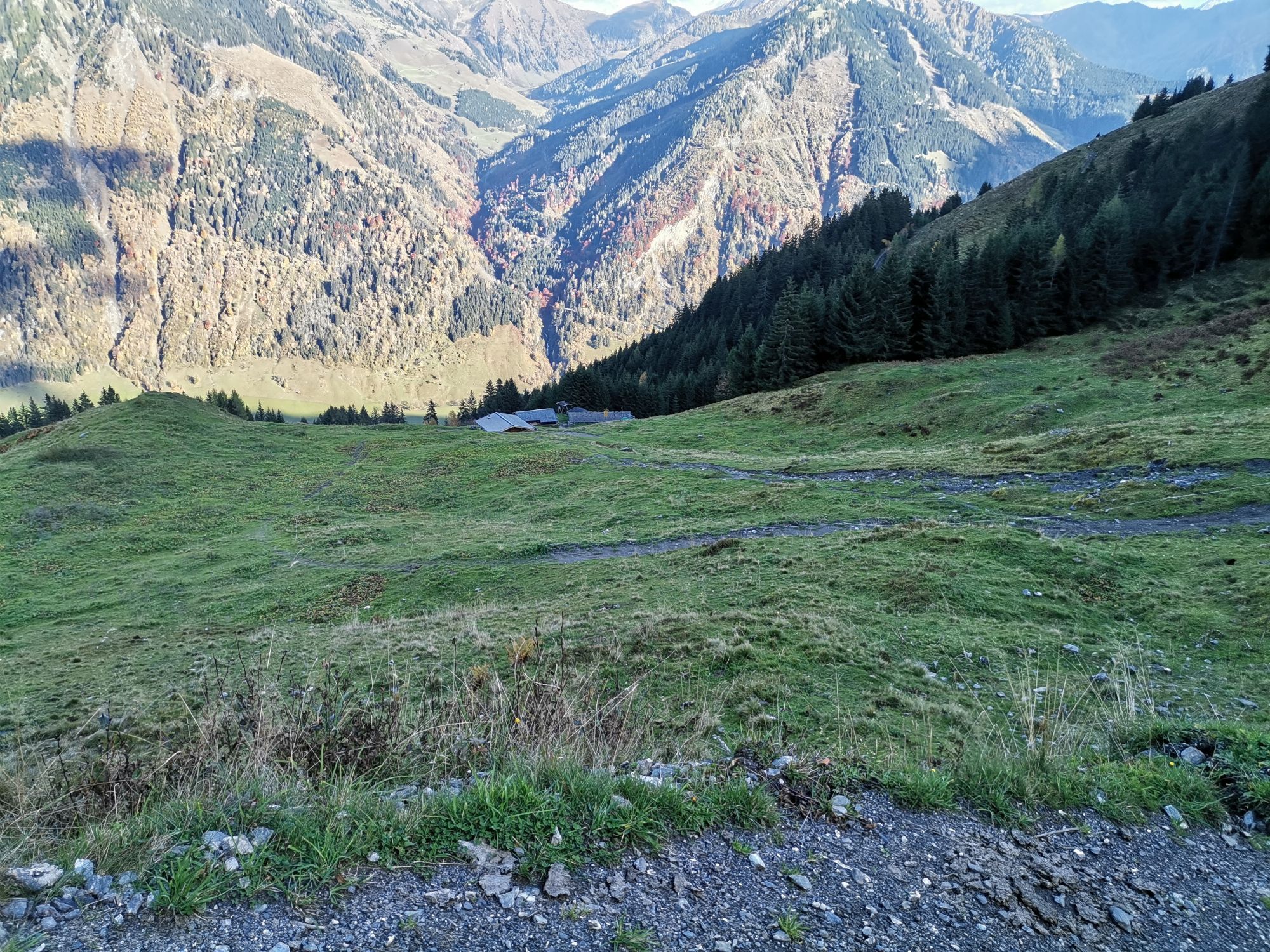
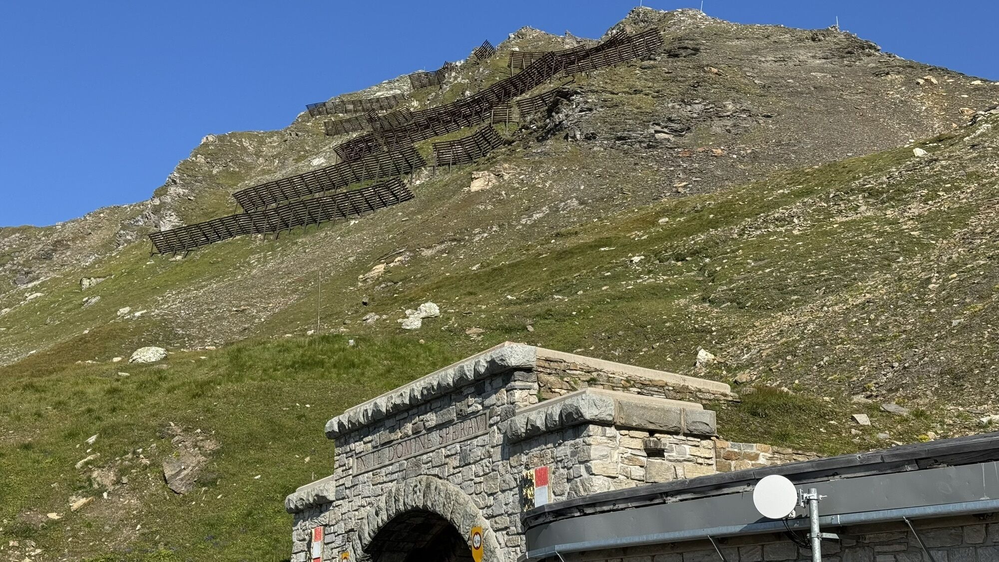
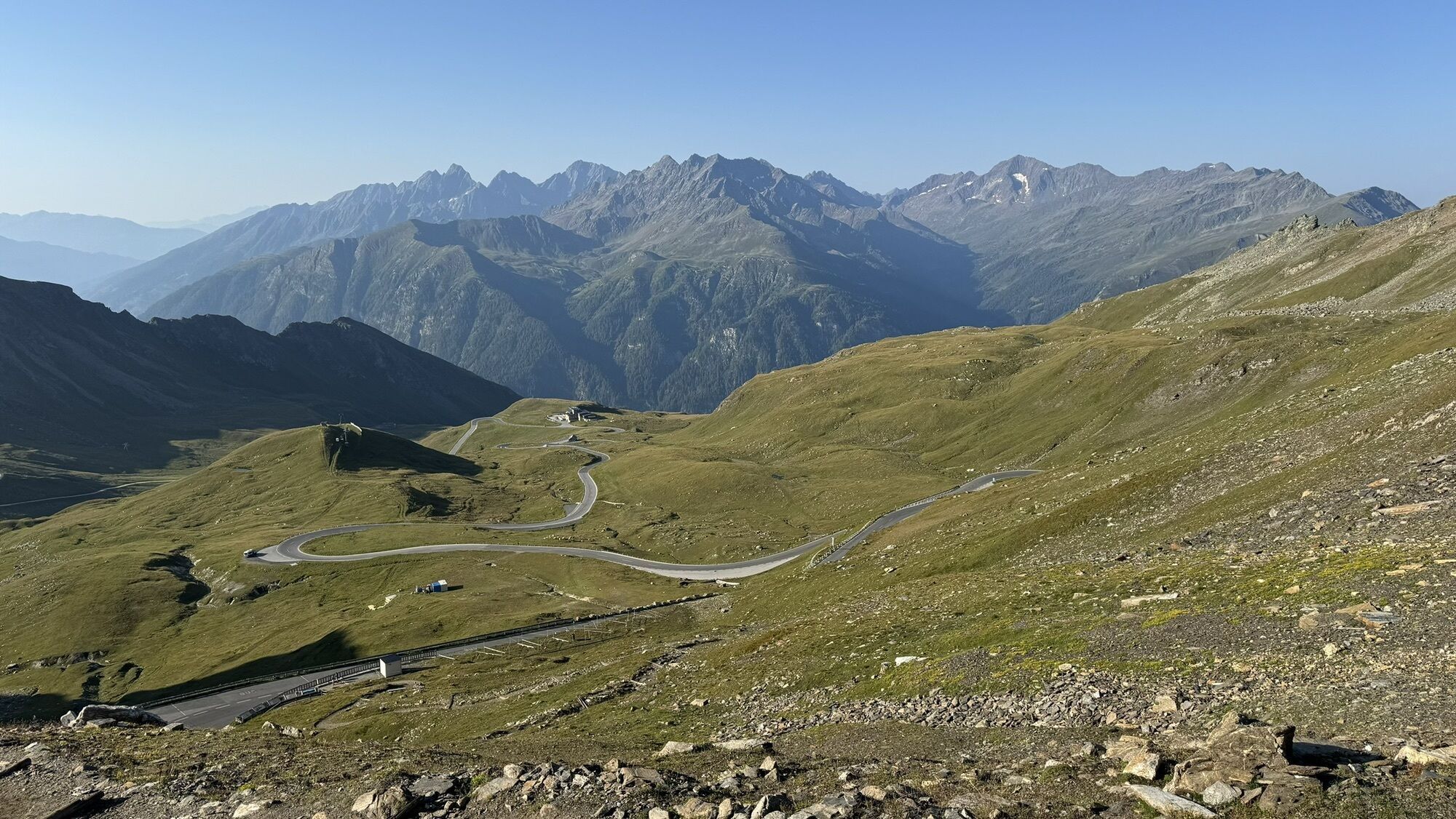
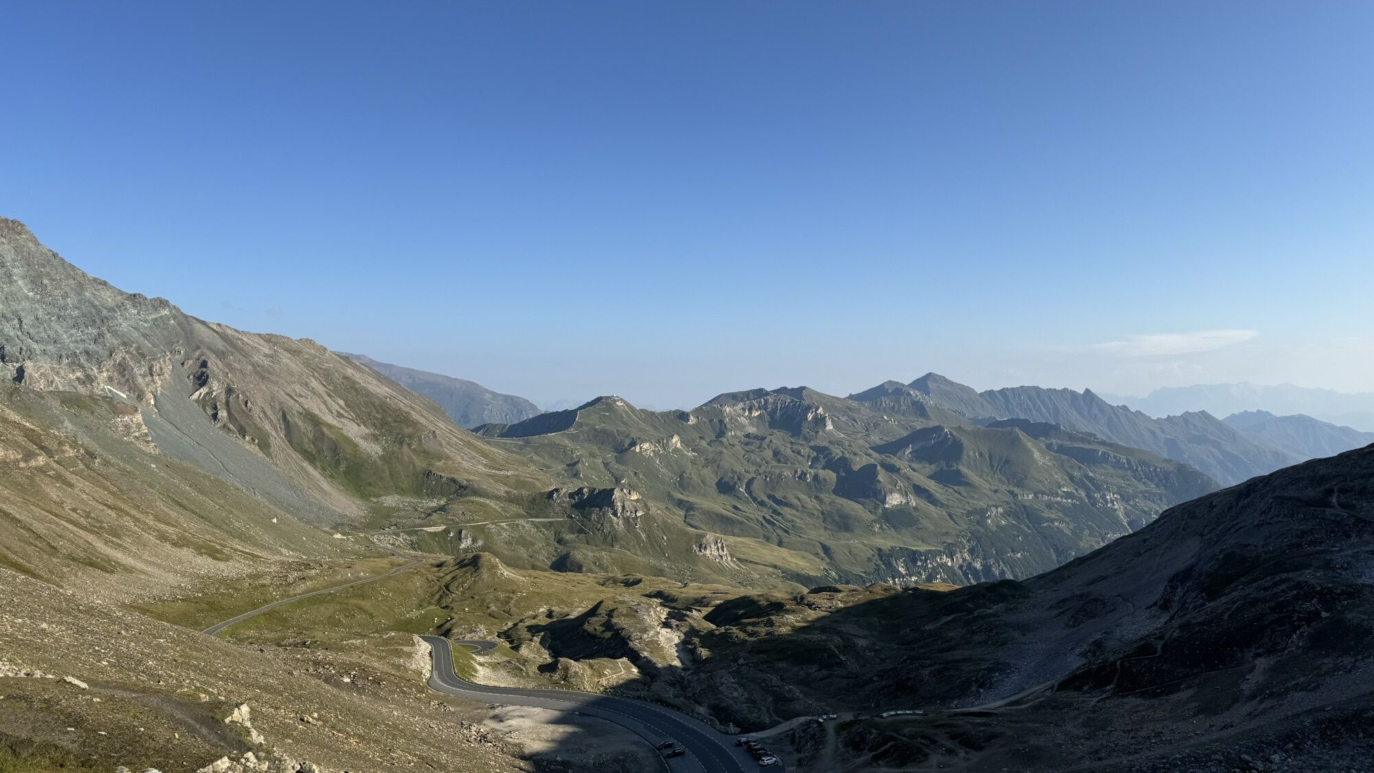
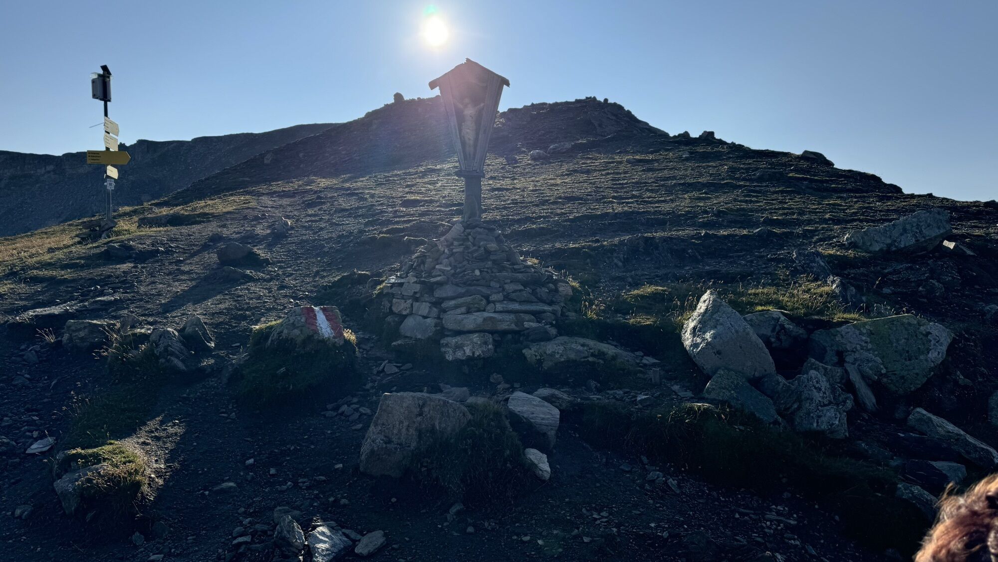
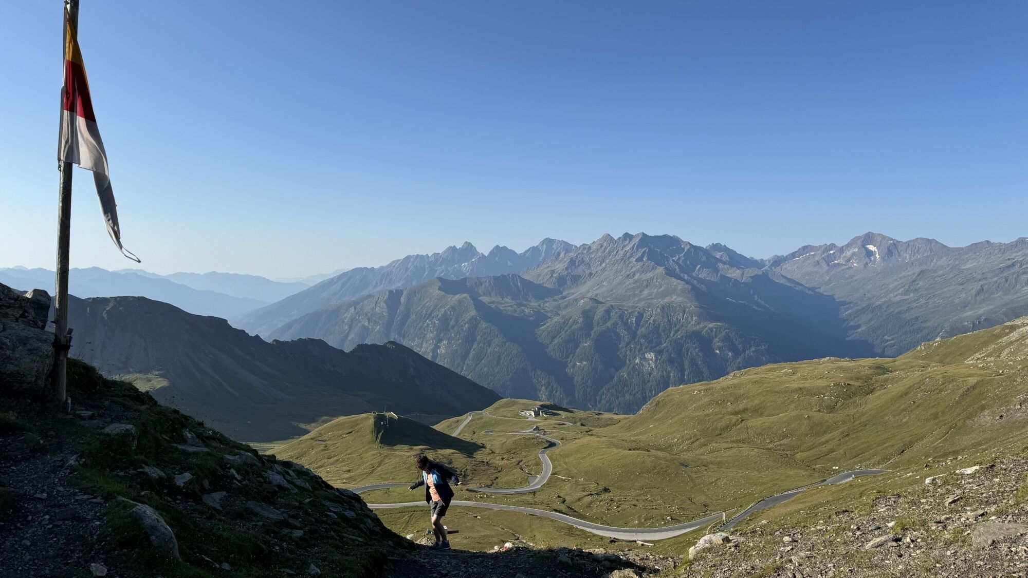
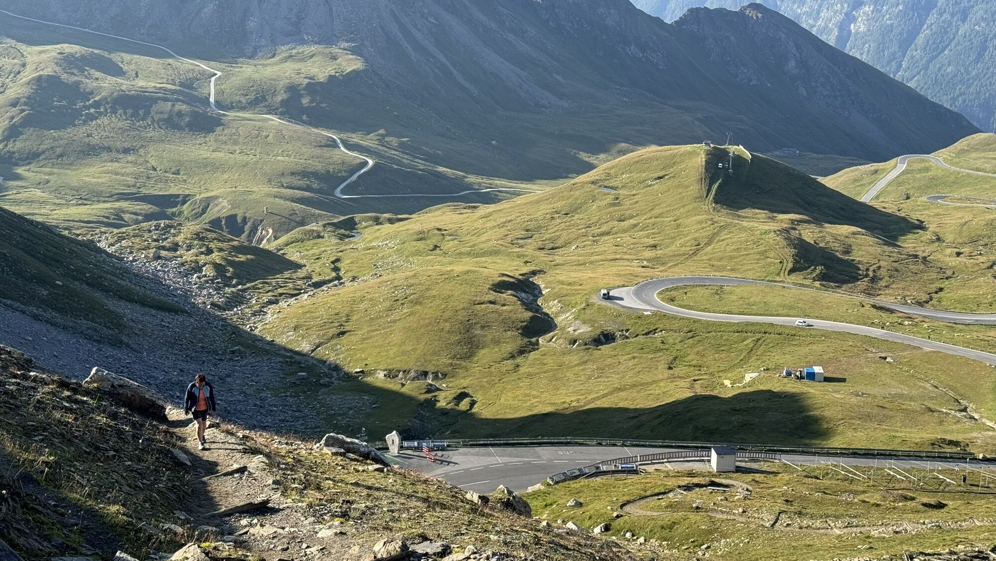
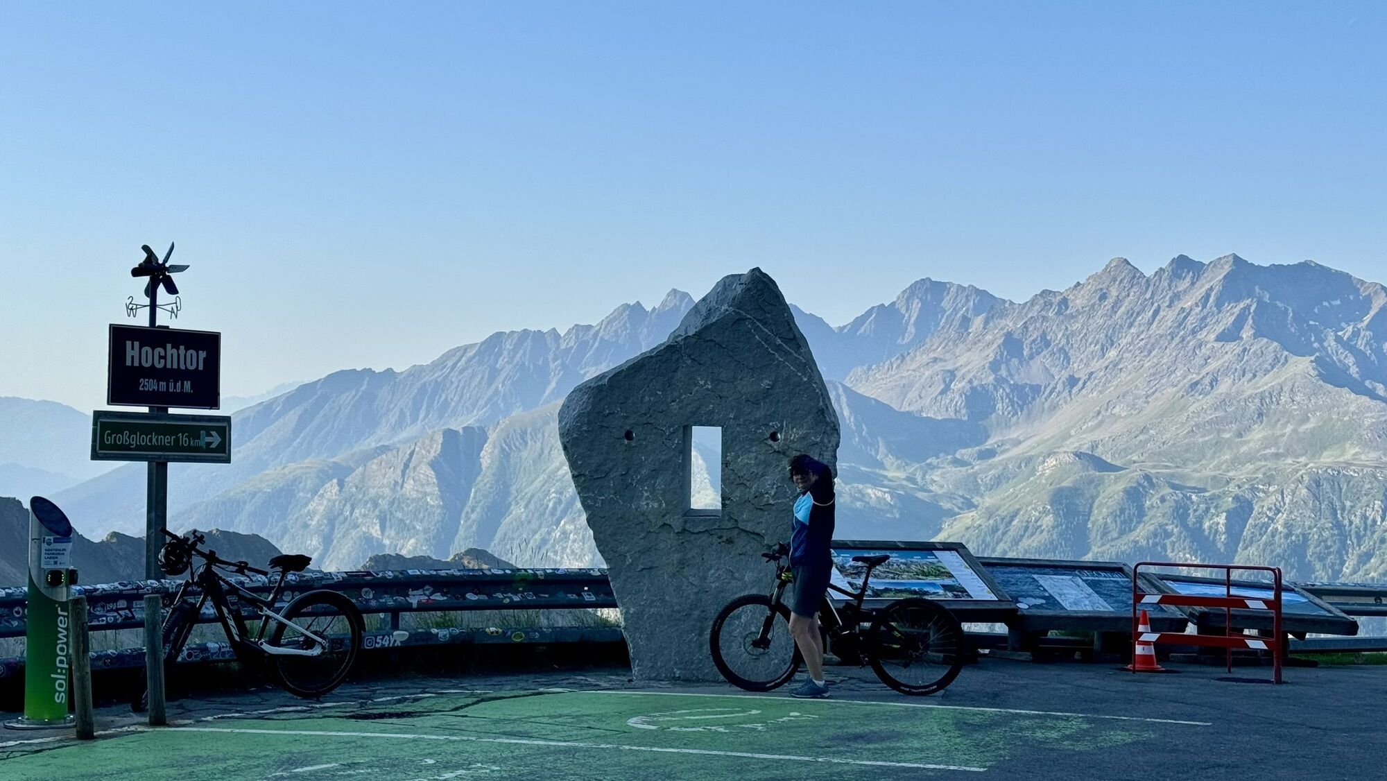
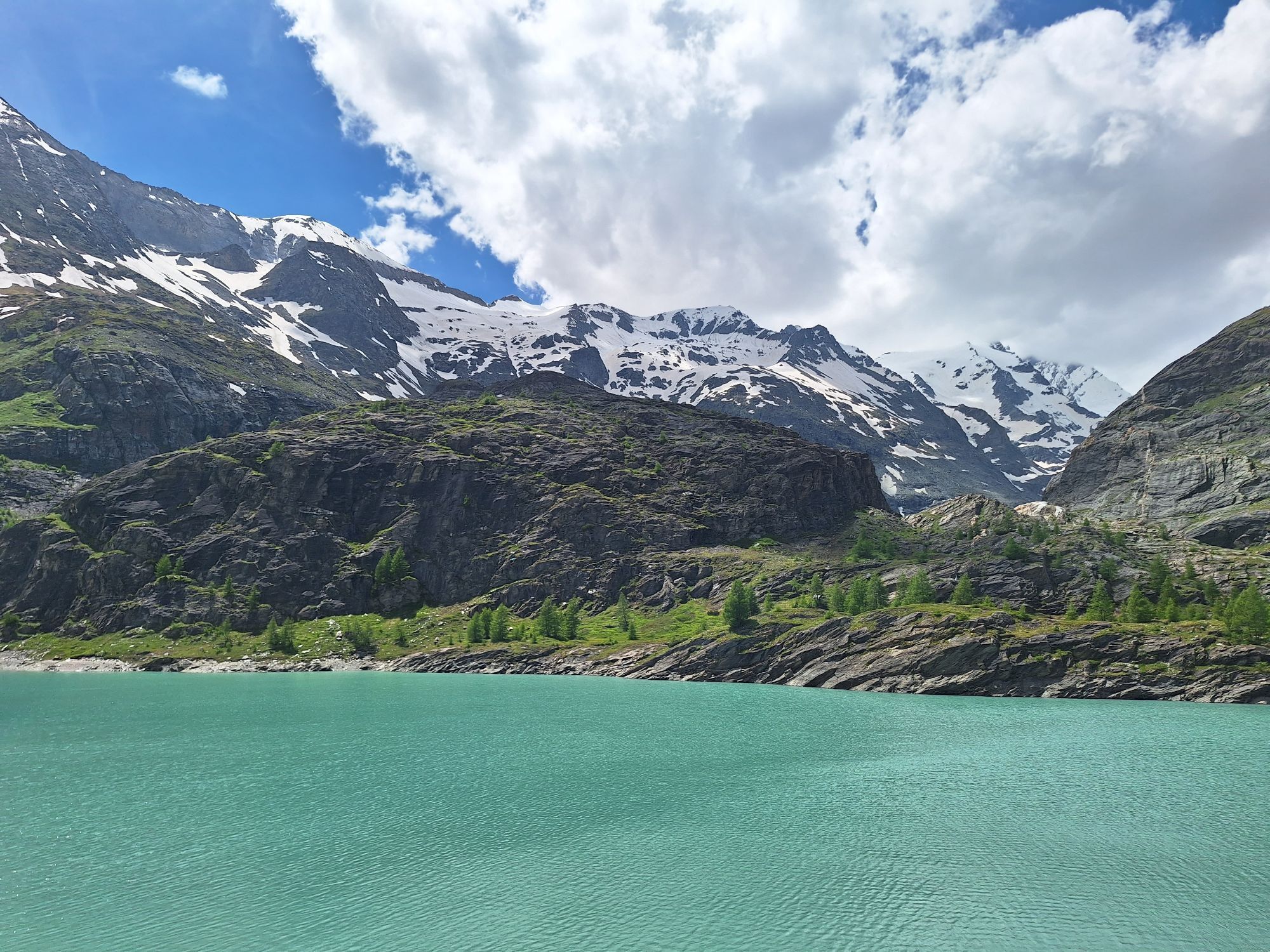
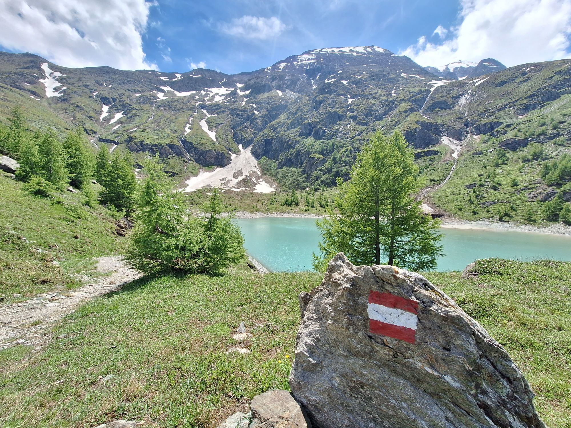
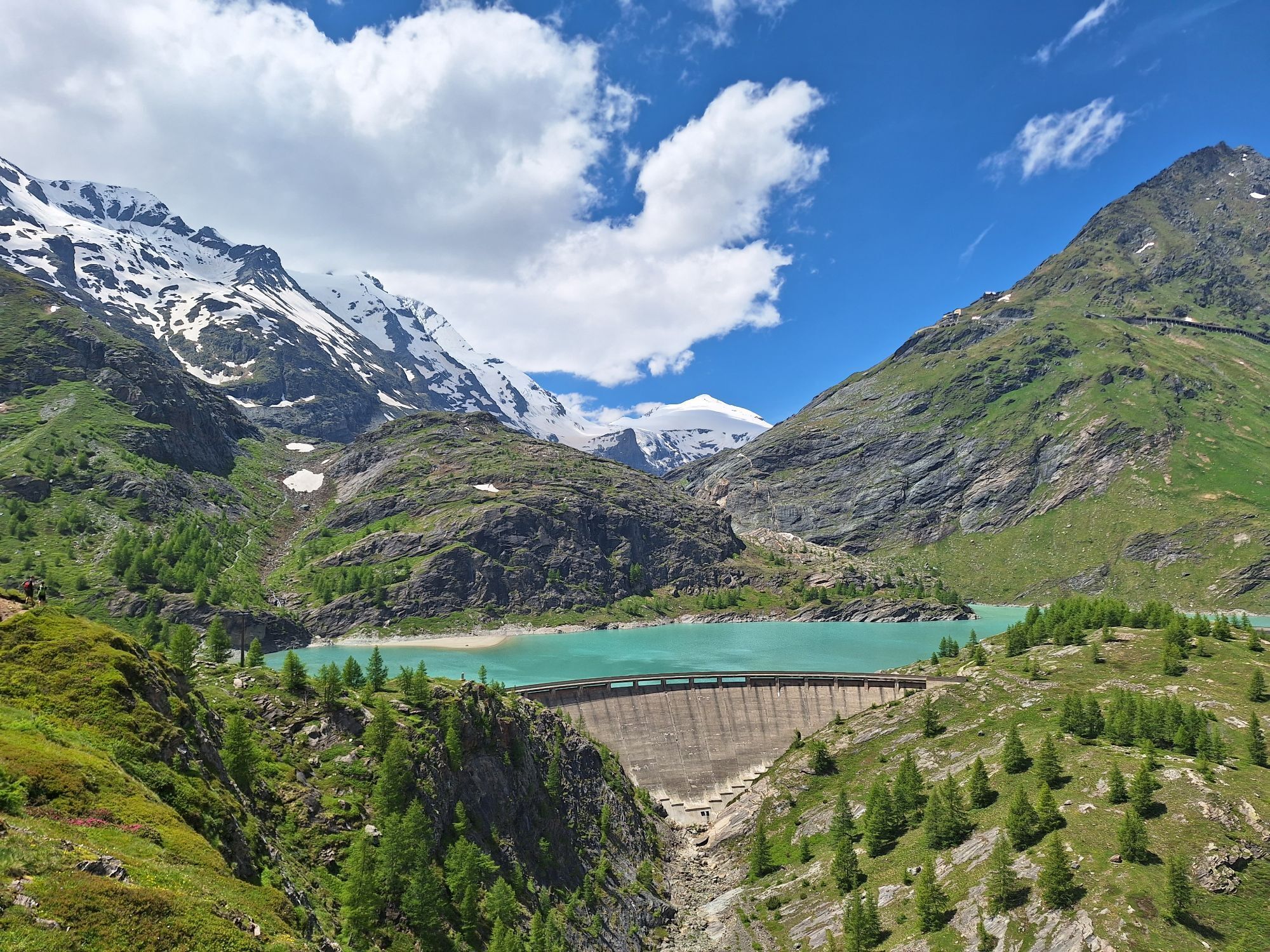


From Saalfelden, you travel to Maishofen and then continue to Thumersbach on the shore of Lake Zell, further to Bruck and Fusch. After 44 kilometers, the main ascent to Austria's highest mountain begins. Past Ferleiten, the impressive Alpine road winds continuously upwards for 1,283 meters of elevation and with a route length of 12.9 kilometers up to the Fuscher Törl at 2,428 m. Those who still have reserves can make a detour from the Fuscher Törl to the Edelweißspitze at 2,571 m (an additional 143 meters of elevation).
Very well-trained athletes can also tackle the second stage if they wish. First, it goes down in curves before the next ascent over Schöneck to the Kaiser Franz-Josefs Höhe at 2,369 m begins.
Da
Da
Please note:
The weather in high alpine areas can change very quickly. Snow in the summer months is not uncommon.
5
Spletne kamere s turneje
-
Schmittenhöhe
-
Heiligenblut Ort
-
Fallbichl
-
Großglockner - KFJ-Höhe
-
Sonnkogel
-
Rossbach Mittelstation
-
Schmittenhöhe
-
Mitterberg bei Thumersbach
-
Sommerrodelbahn
-
Großglockner - Edelweißspitze
-
Großglockner - Fuschertörl
-
Zell am See / Hotel Berner
-
Mesenatenhütte, Wallackhaus
-
Schmittenhöhe
-
Schmittenhöhe
-
Freiwandeck
-
Mesenatenhütte, Wallackhaus
-
Zell am See
-
Saalfelden
-
Leogang Schanteilift
-
Thumersbach
-
Schareck
-
Sommerrodelbahn
-
Sommerrodelbahn
-
Sommerrodelbahn
-
Sommerrodelbahn
-
Sommerrodelbahn
-
Fallbichl
-
Fallbichl
-
Maishofen Sausteige
-
Maishofen - Schloss Kammer
-
Rossbach Mittelstation
-
Rossbach Mittelstation
-
Rossbach Mittelstation
-
Heiligenblut Ort
-
Heiligenblut Ort
-
Heiligenblut Ort
-
Adlersruhe
-
Maishofen Dorfplatz
-
Berggeistalm
Pridobite vpogled
Vedno v živo na mestu z več kot 9.500 spletnimi kamerami. bergfex Kot uporabnik Pro si lahko zdaj ogledate ustrezne spletne kamere za številne izlete v aplikaciji izleti iz. Tako si lahko neposredno ogledate trenutne razmere.


Priljubljeni izleti v okolici
-
4.7
Kaiser-Franz-Josefs-Höhe to Oberwalderhütte
težkoPohodništvo 5.52 km -
4.7
Geotrail Tauernfenster
svetlobaPohodništvo 5.90 km -
4.4
Glacier Route to the Pasterze with Gamsgrubenweg (up to Tunnel 6)
srednjaPohodništvo 8.05 km -
4.9
Figerhorn 2743m, Lucknerhaus
težkoPohodništvo 6.69 km -
4.9
Glockner
srednjaVisokogorska tura 19 km -
4.8
Glödis 3206m: PP Seichenbrunn, Lienzer Hütte, Glödis KS A/B
težkoVisokogorska tura 16.1 km -
4.5
Spielmann
srednjaPohodništvo 9.48 km -
4.9
Glockner Alpincenter - Salmhütte - Hohenwartkees
srednjaPohodništvo 8.64 km -
5.0
Wasserfallboden/Mooserboden
težkoPohodništvo 19.5 km -
4.4
Stüdlhütte -Großglockner
Pohodništvo 4.68 km
Pohodništvo in sledenje


Ne zamudite ponudb in navdiha za naslednje počitnice
Vaš e-poštni naslov je bil dodan na poštni seznam.





