
Navigacija po spletni strani
Pridobite to turo v svoj mobilni telefon
Zemljevid
Bike route: From the mountain to the lake. Katschberg - Lake Millstatt

srednja
Kolesarjenje
85.15 km
Skenirajte kodo QR in začnite navigacijo v aplikaciji bergfex.
QR Code
Pohodništvo in sledenje

Bike route: From the mountain to the lake. Katschberg - Lake Millstatt

Razdalja
85.2 km
Trajanje
04:00 h
Ascent
829 hm
Morska gladina
586 - 1,640 m

Stopnja težavnosti: 4

Prenos skladbe
Zemljevid
Bike route: From the mountain to the lake. Katschberg - Lake Millstatt
srednja
Kolesarjenje
85.15 km

Fotografije naših uporabnikov

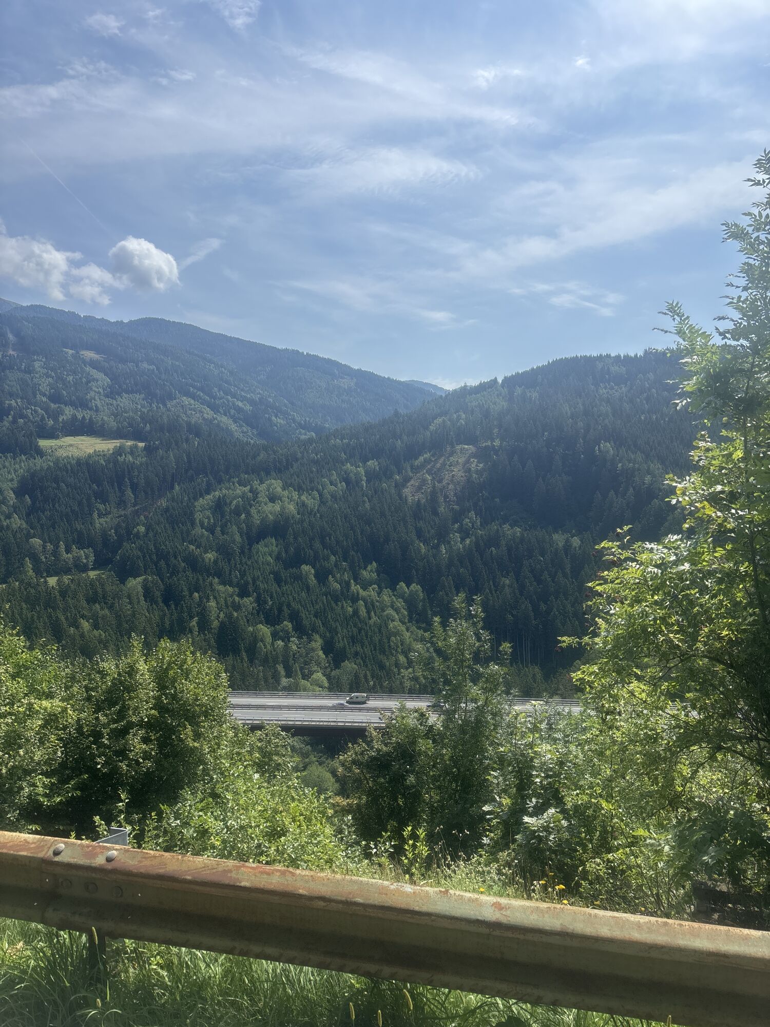
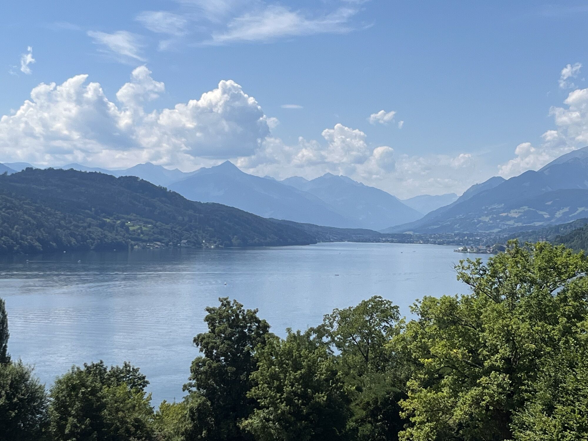
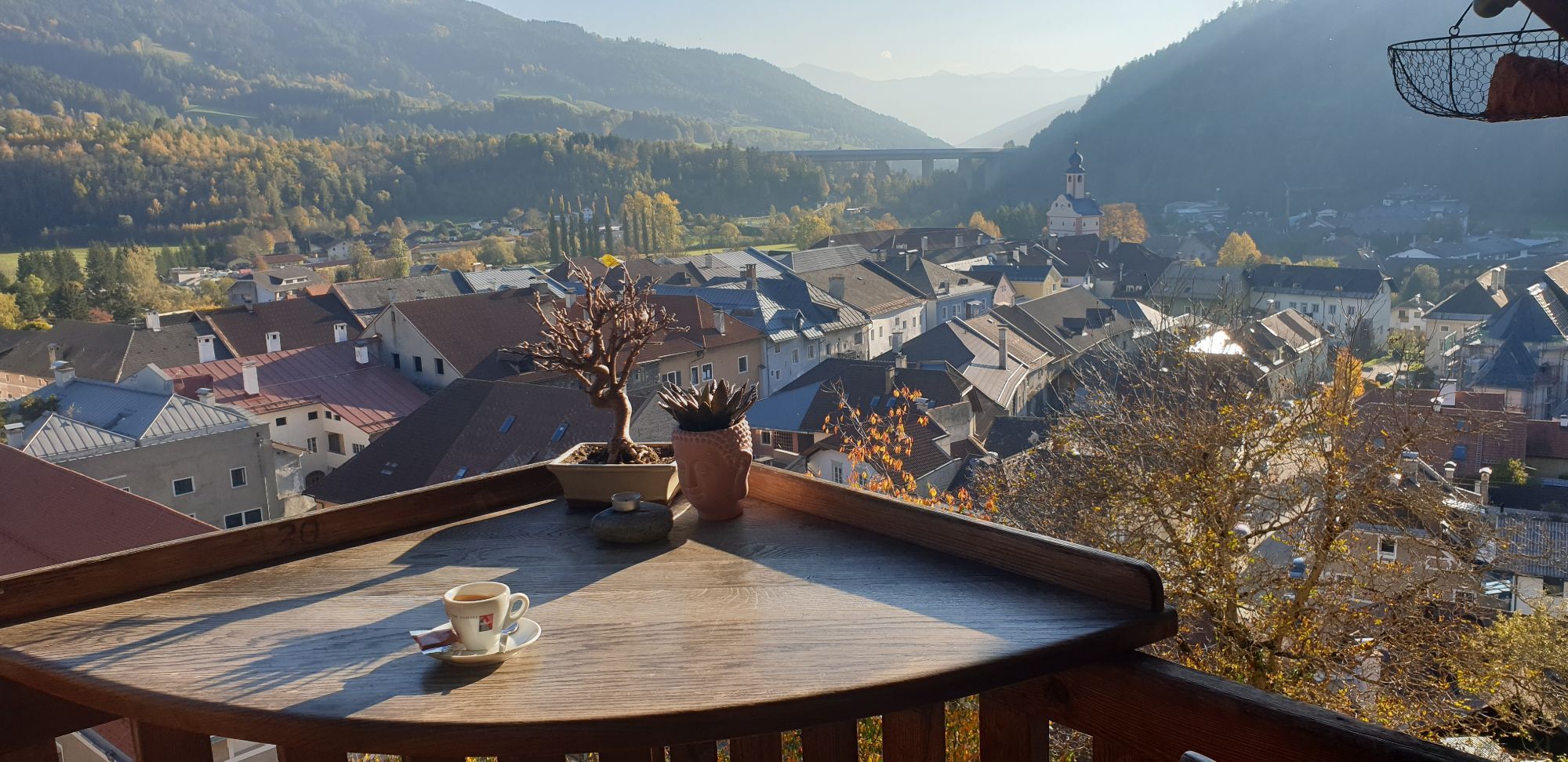
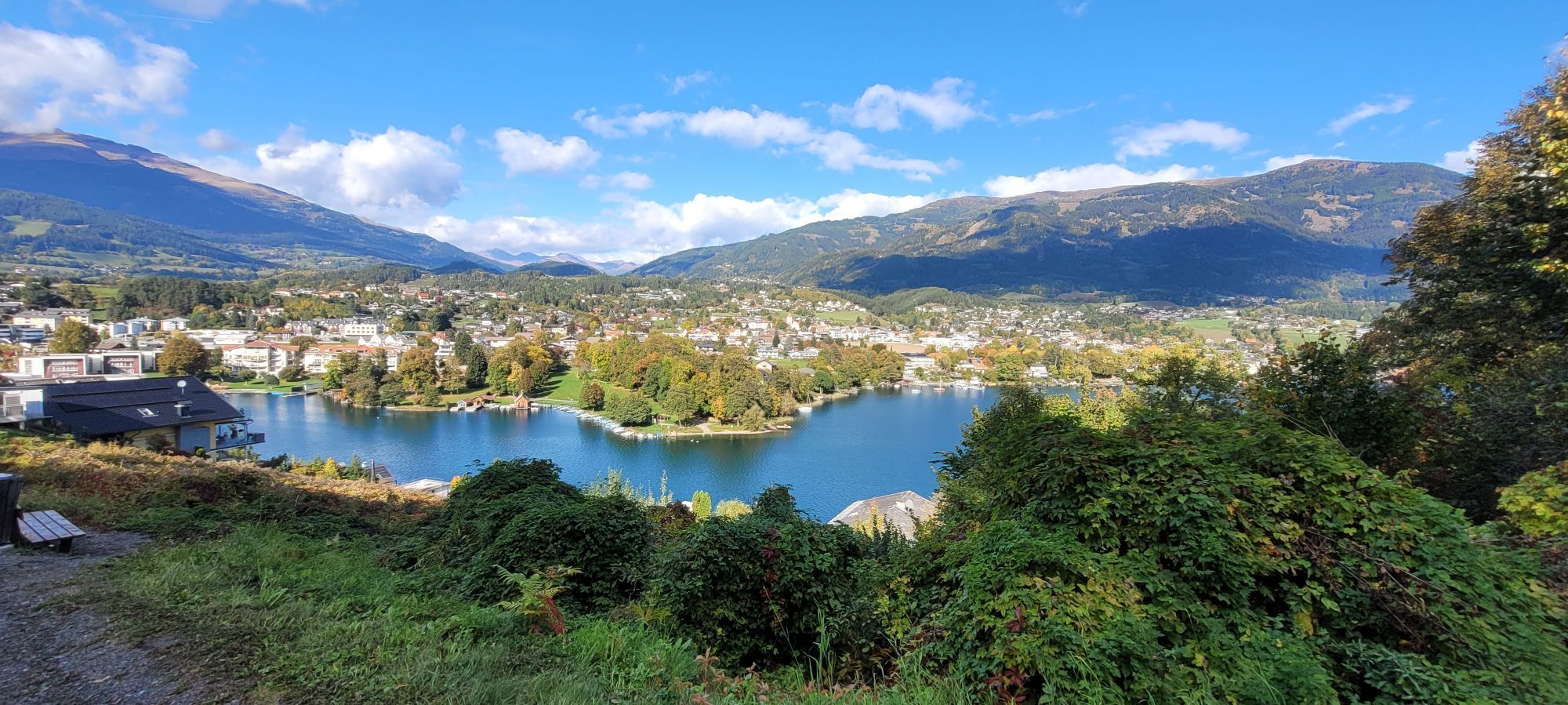
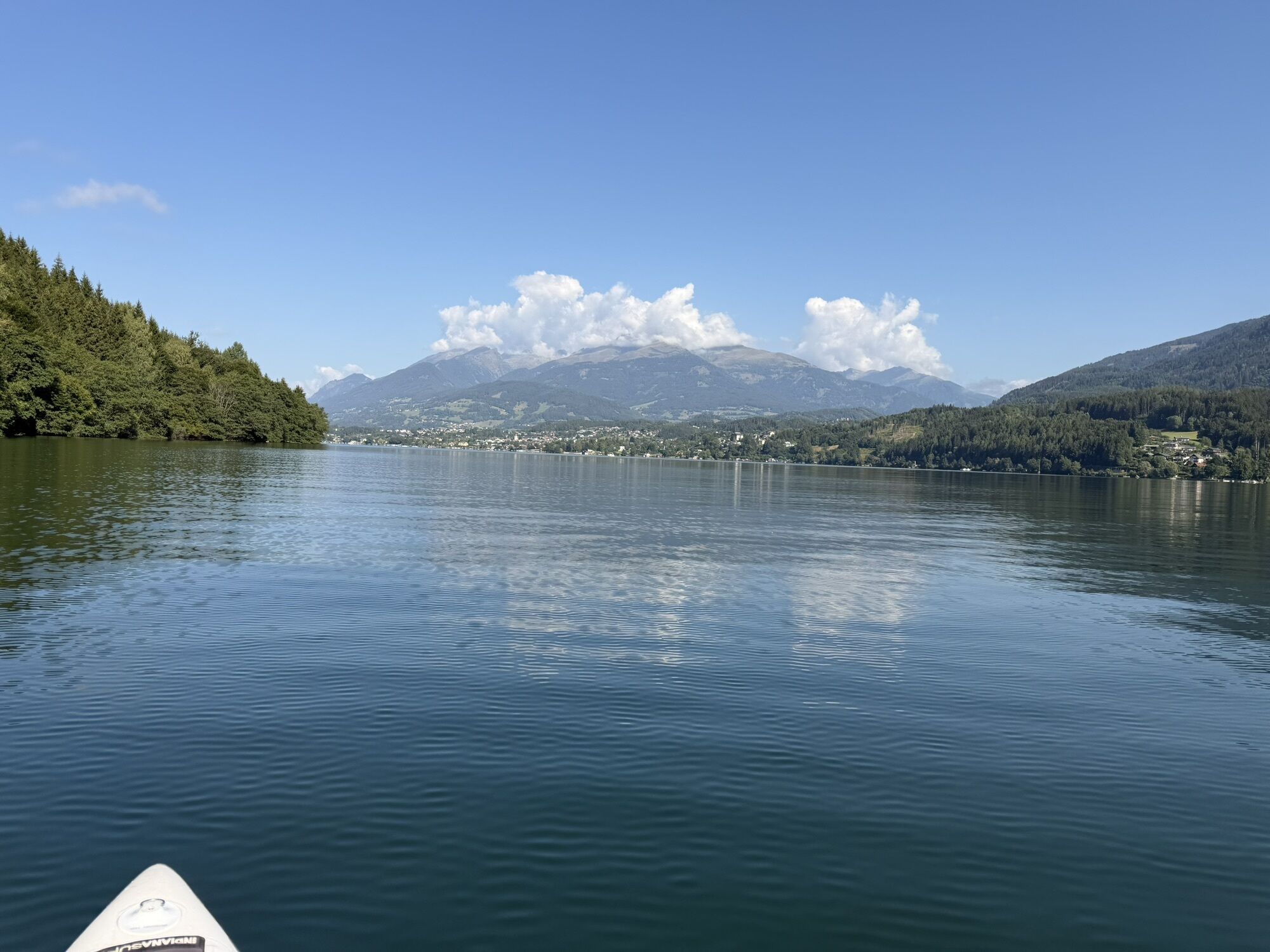
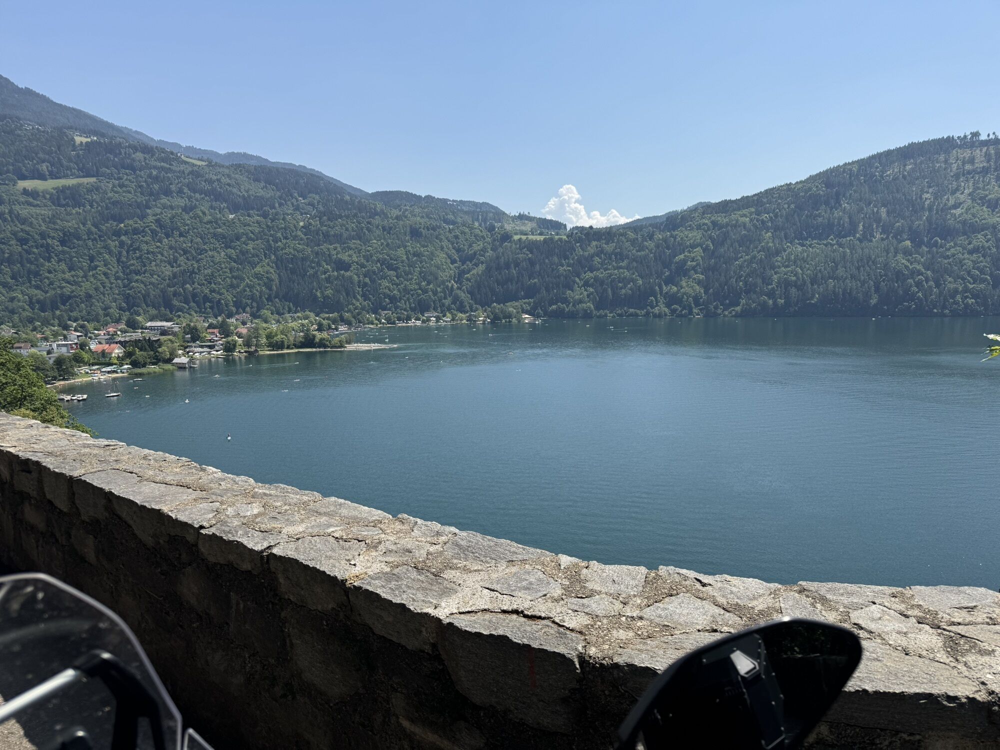
A pleasure bike route: from the mountain to the lake.

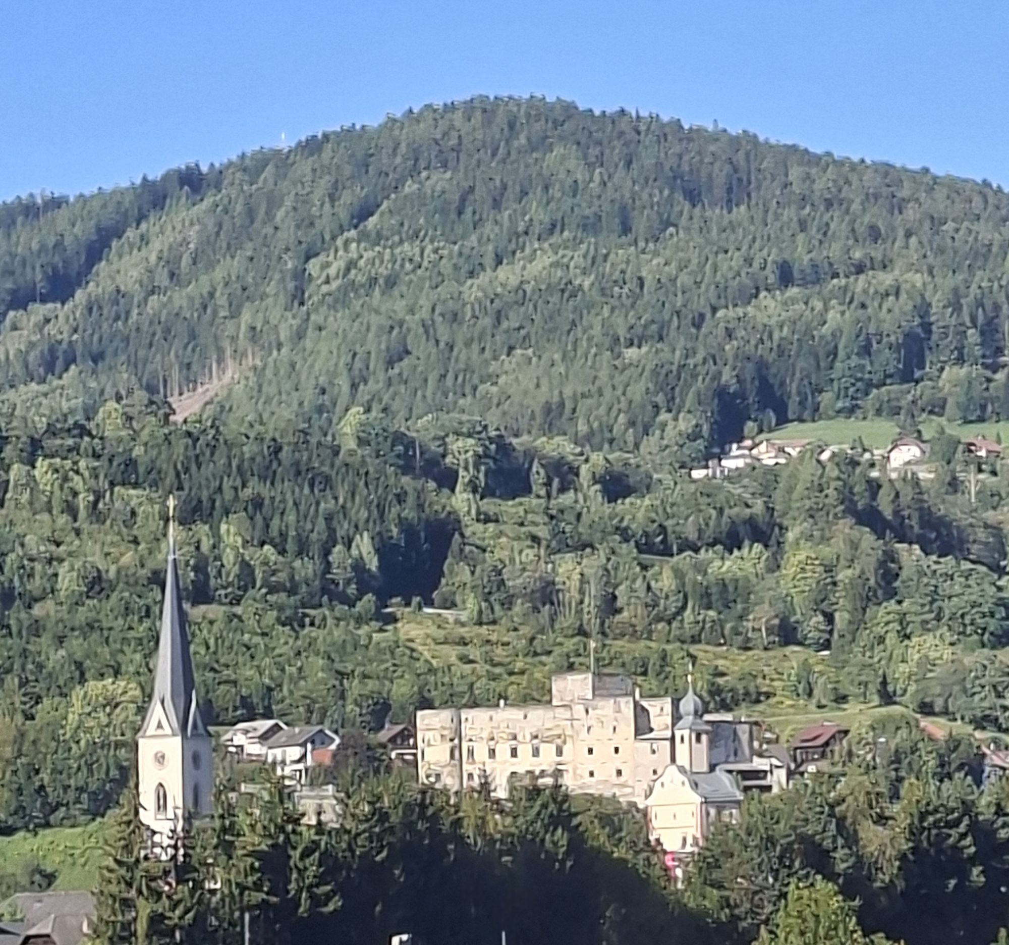
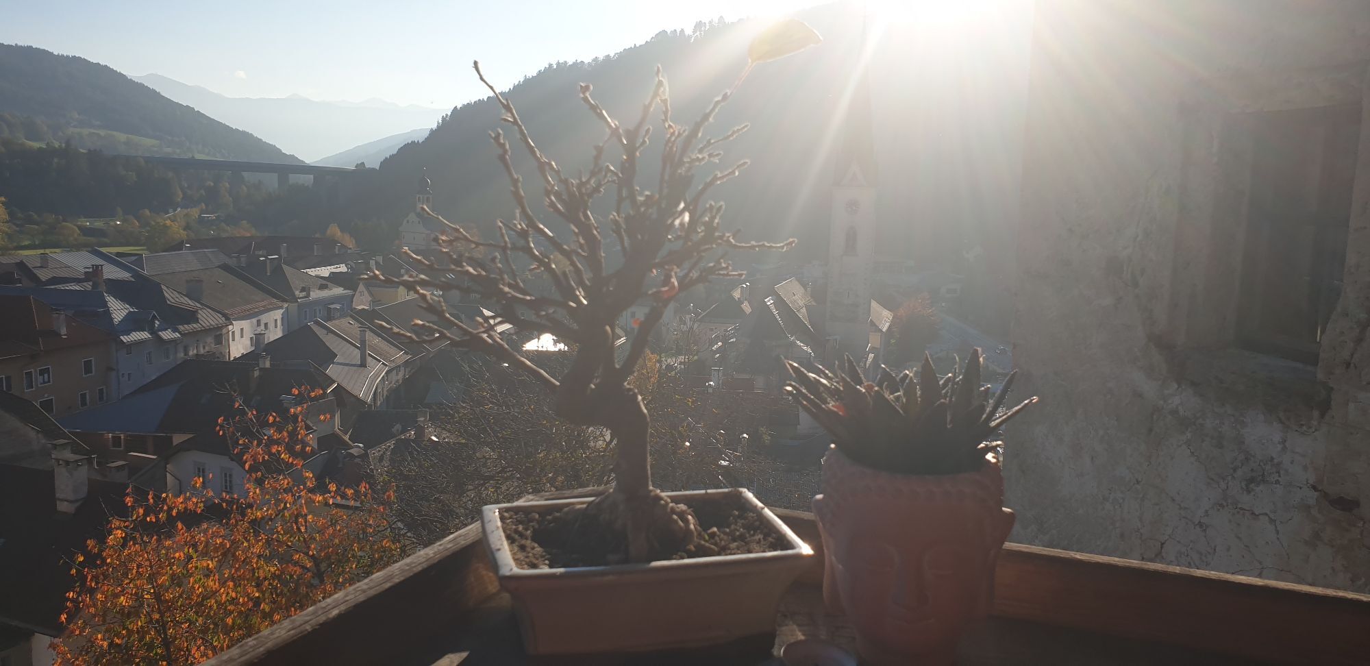
Be sure to stop in the artists' town Gmünd.

Pot
Katschberg
(1,642 m)
Vas
0.0 km
Maria Trost
(952 m)
Kraj čaščenja
12.8 km
Kreuzbichlkapelle
(768 m)
Kraj čaščenja
21.9 km
Dreifaltigkeitskapelle
(736 m)
Kraj čaščenja
23.6 km
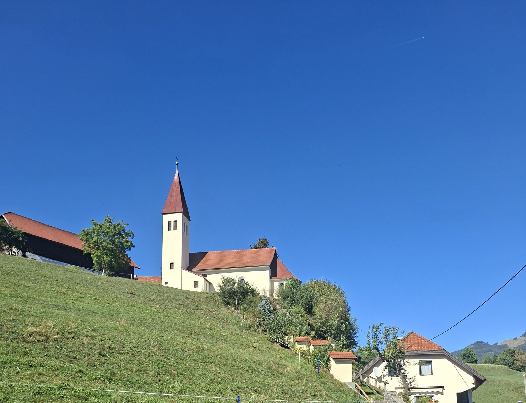
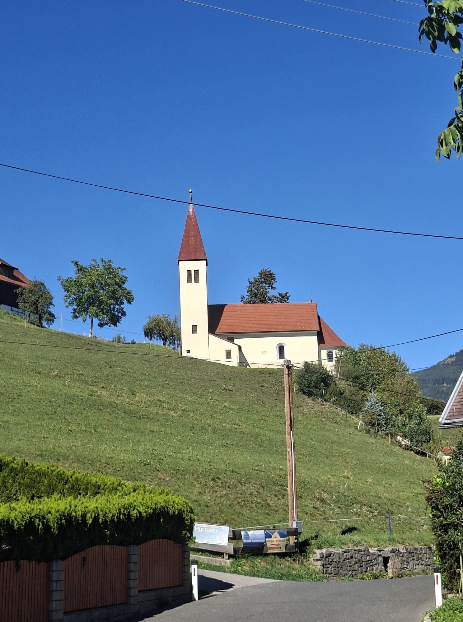
Filialkirche Hl. Laurentius
(705 m)
Kraj čaščenja
33.2 km
Gedächtniskapelle
(643 m)
Kraj čaščenja
57.4 km
Gritschacher Marienkapelle
(609 m)
Kraj čaščenja
65.5 km
Pot
Zemljevid
Bike route: From the mountain to the lake. Katschberg - Lake Millstatt
srednja
Kolesarjenje
85.15 km
Katschberg
(1,642 m)
Vas
0.0 km
Mühlbach
(1,215 m)
Vas
3.7 km
Gasthof Mühlbacherwirt
(1,220 m)
Restavracija
3.7 km
St. Peter
(1,207 m)
Vas
3.9 km
St. Georgen
(1,221 m)
Vas
5.4 km
Restaurant Katschtalerhof
(1,143 m)
Restavracija
6.0 km
Strafner Stadl
(1,144 m)
Restavracija
6.1 km
Gasthof Zur Post
(1,144 m)
Restavracija
6.1 km
Rennweg am Katschberg
(1,143 m)
Vas
6.1 km
Aschbach
(1,208 m)
Vas
6.8 km
Krangl
(1,177 m)
Vas
7.2 km
Brugg
(1,106 m)
Poravnava
7.7 km
Ried
(1,087 m)
Poravnava
8.4 km
Schlaipf
(1,157 m)
Vas
8.6 km
Rauchenkatsch
(998 m)
Poravnava
10.9 km
Sankt Nikolai
(997 m)
Vas
11.5 km
Hl. Nikolaus
(997 m)
Kraj čaščenja
11.7 km
Maria Trost
(952 m)
Kraj čaščenja
12.8 km
Gasthof Post
(954 m)
Restavracija
12.8 km
Kremsbrücke
(952 m)
Vas
12.8 km
Unterkremsbrücke
(931 m)
Poravnava
14.1 km
Neuhammer
(905 m)
Poravnava
14.4 km
Gasthof Müllnerwirt
(881 m)
Restavracija
15.3 km
Densdorf
(1,058 m)
Vas
15.5 km
Leoben
(876 m)
Vas
15.7 km
Hl. Johannes Nepomuk
(873 m)
Kraj čaščenja
16.0 km
Hammerboden
(863 m)
Poravnava
16.5 km
Christus Friedenskönig
(816 m)
Kraj čaščenja
18.8 km
Eisentratten
(814 m)
Vas
18.9 km
Kreuzbichlkapelle
(768 m)
Kraj čaščenja
21.9 km
Königreichssaal der Zeugen Jehovas
(750 m)
Kraj čaščenja
22.3 km
Gmünd
(748 m)
Mesto
22.7 km
Altweiberkapelle
(759 m)
Kraj čaščenja
22.8 km
Burgwiese
(781 m)
Poravnava
22.8 km
Laufanger
(749 m)
Koridor/teren
23.5 km
Dreifaltigkeitskapelle
(736 m)
Kraj čaščenja
23.6 km
Trebesing
(734 m)
Poravnava
26.7 km
Trebesinger Wirt
(740 m)
Restavracija
26.8 km
Evangelische Kirche
(734 m)
Kraj čaščenja
26.9 km
Rachenbach
(735 m)
Poravnava
27.6 km
Oberallach
(848 m)
Vas
29.2 km
Lieserhofen
(710 m)
Vas
33.2 km
Filialkirche Hl. Laurentius
(705 m)
Kraj čaščenja
33.2 km
Litzldorf
(676 m)
Poravnava
33.6 km
Karlsdorf
(630 m)
Vas
34.3 km
Lurnbichl
(615 m)
Vas
35.7 km
Lieserbrücke
(605 m)
Vas
36.4 km
Seebach
(589 m)
Vas
37.2 km
Seespitz
(597 m)
Soseska
39.0 km
Seeboden
(618 m)
Mesto
39.2 km
Seeboden Steiner
(588 m)
Pristanišče za trajekte
39.9 km
Grossegg Schuster
(589 m)
Pristanišče za trajekte
44.8 km
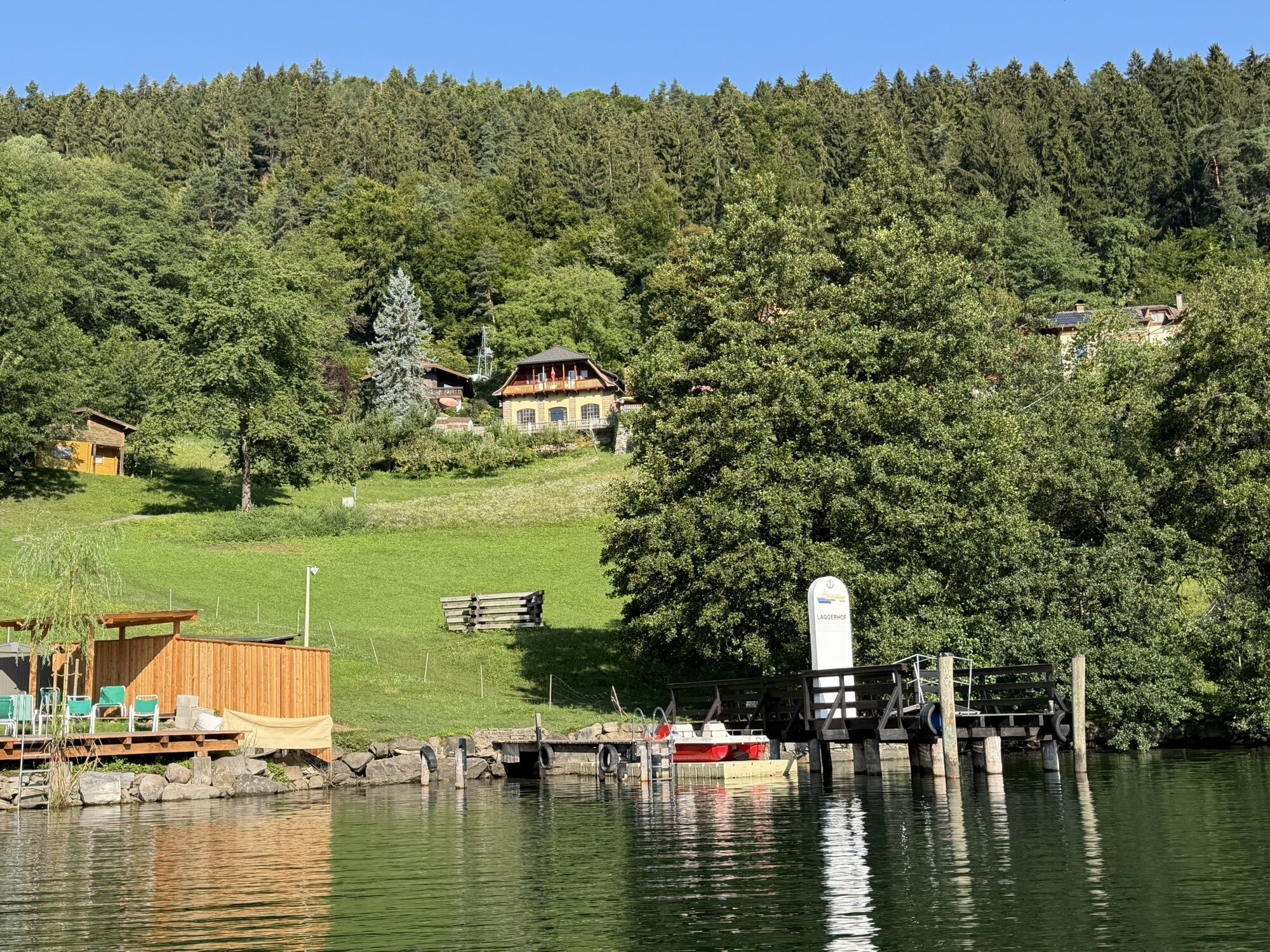
Gasthof Laggerhof
(618 m)
Restavracija
47.7 km
Großegg
(776 m)
Vas
47.8 km
Starfach
(691 m)
Vas
55.2 km
Gedächtniskapelle
(643 m)
Kraj čaščenja
57.4 km
Der Fischimbiss im Garten
(636 m)
Restavracija
57.5 km
Dellach
(630 m)
Vas
57.6 km
Strandbistro Docks
(593 m)
Restavracija
59.5 km
Pesenthein am Millstätter See
(603 m)
Vas
59.6 km
Millstatt
(611 m)
Mesto
61.8 km
Lechnerschaft
(608 m)
Vas
63.8 km
Dorfbrunnen
(608 m)
Vir:
65.5 km
Gritschacher Marienkapelle
(609 m)
Kraj čaščenja
65.5 km
Filialkirche St. Jakobus
(614 m)
Kraj čaščenja
66.0 km
Seeboden
(618 m)
Mesto
66.1 km
Seespitz
(597 m)
Soseska
66.9 km
Seebach
(589 m)
Vas
68.6 km
Lieserbrücke
(605 m)
Vas
69.5 km
Lurnbichl
(615 m)
Vas
70.0 km
Karlsdorf
(630 m)
Vas
71.6 km
Litzldorf
(676 m)
Poravnava
72.1 km
Filialkirche Hl. Laurentius
(705 m)
Kraj čaščenja
72.7 km
Lieserhofen
(710 m)
Vas
72.7 km
Oberallach
(848 m)
Vas
76.5 km
Rachenbach
(735 m)
Poravnava
78.3 km
Trebesing
(734 m)
Poravnava
79.1 km
Trebesing-Bad
(707 m)
Poravnava
79.2 km
Moos
(764 m)
Poravnava
81.8 km
Dreifaltigkeitskapelle
(736 m)
Kraj čaščenja
83.7 km
Laufanger
(749 m)
Koridor/teren
84.0 km
Gmünd
(748 m)
Mesto
84.6 km
Dreieinigkeitskirche
(744 m)
Kraj čaščenja
84.9 km
Informacije o turneji

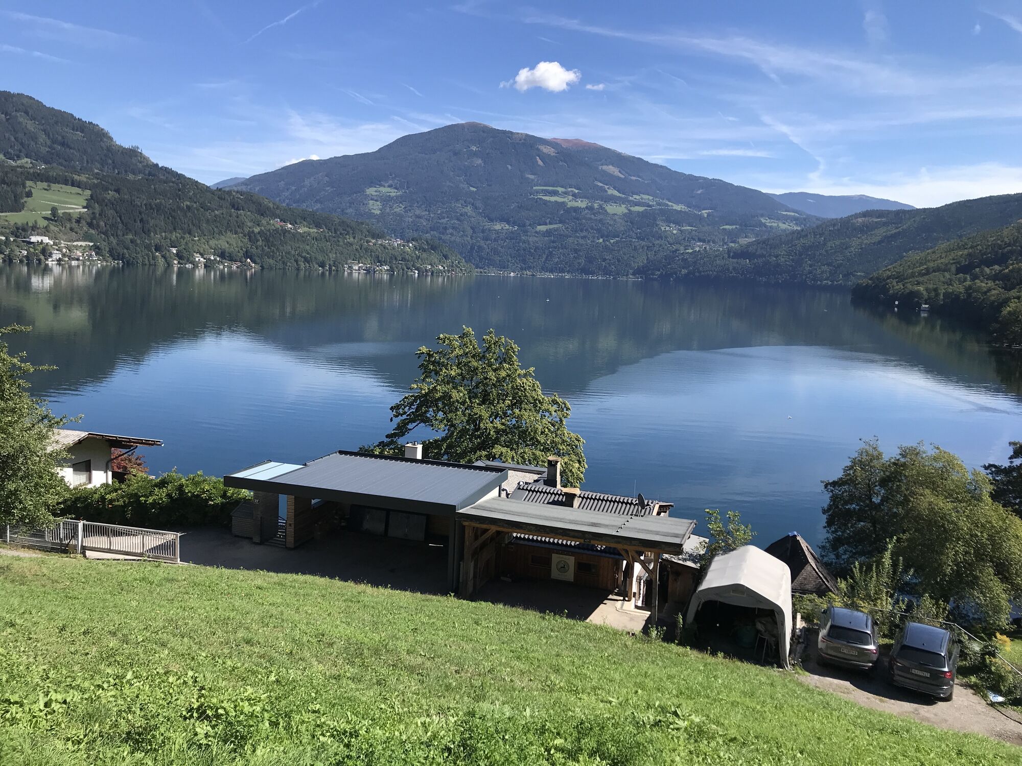
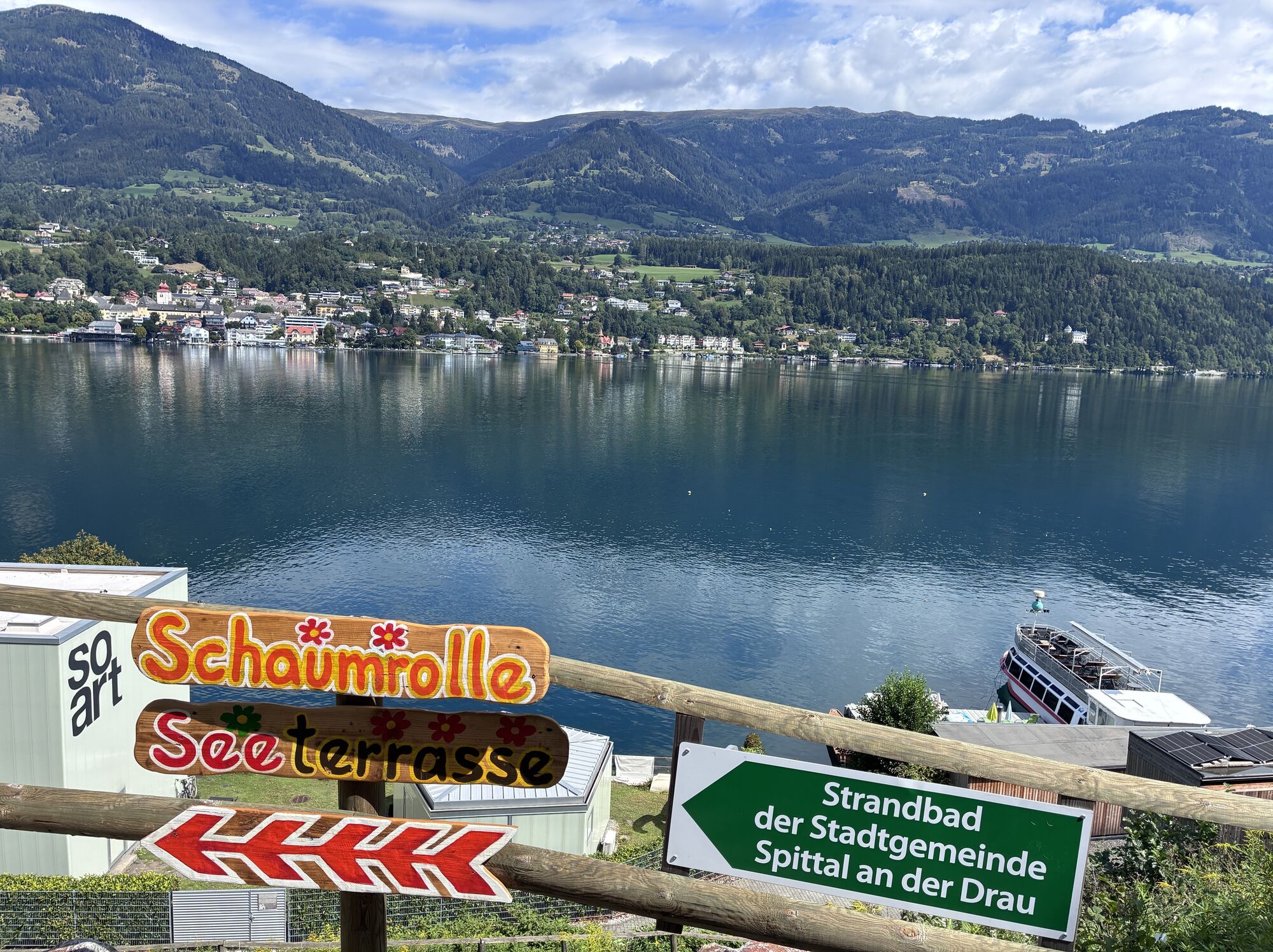
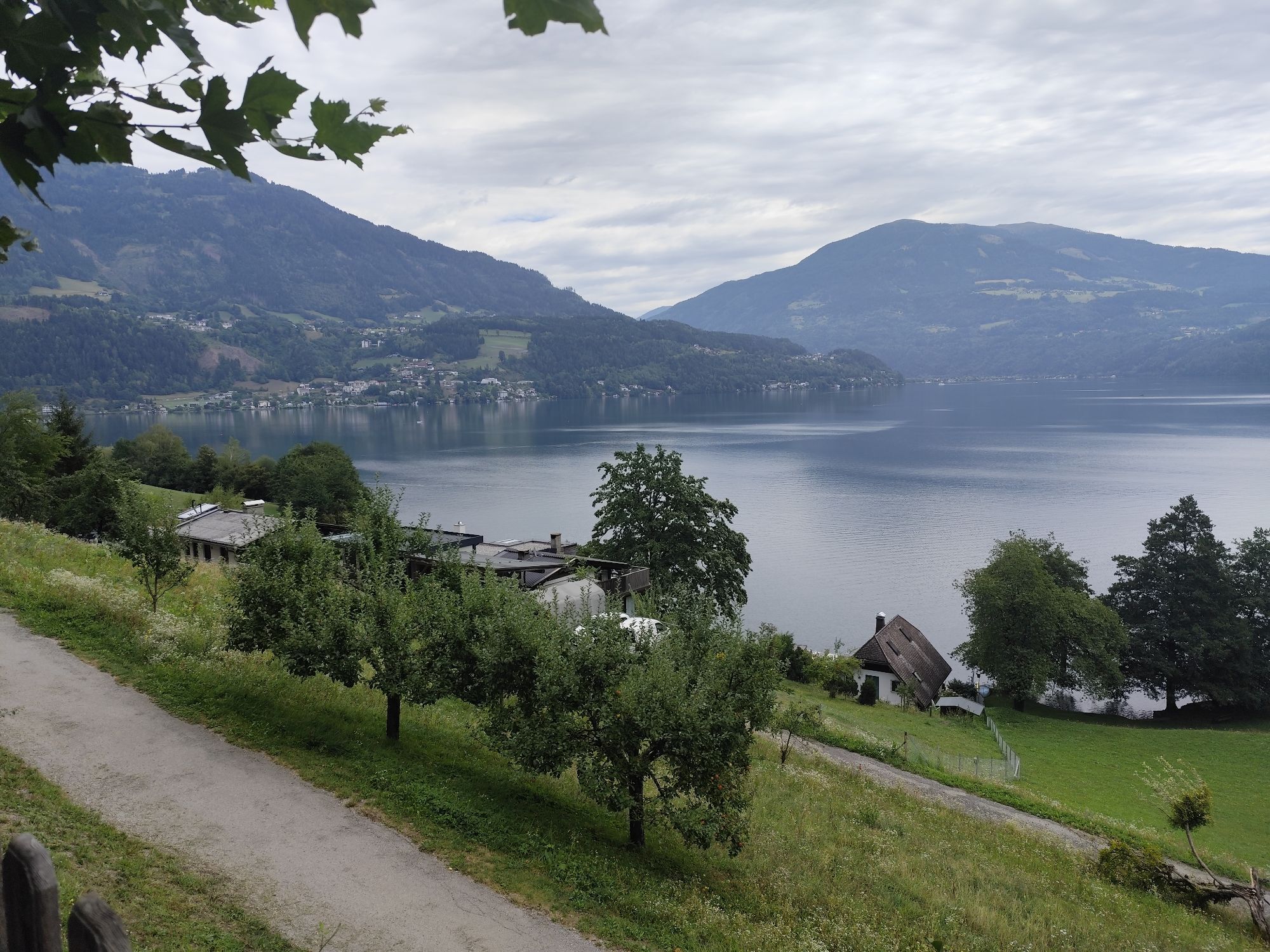
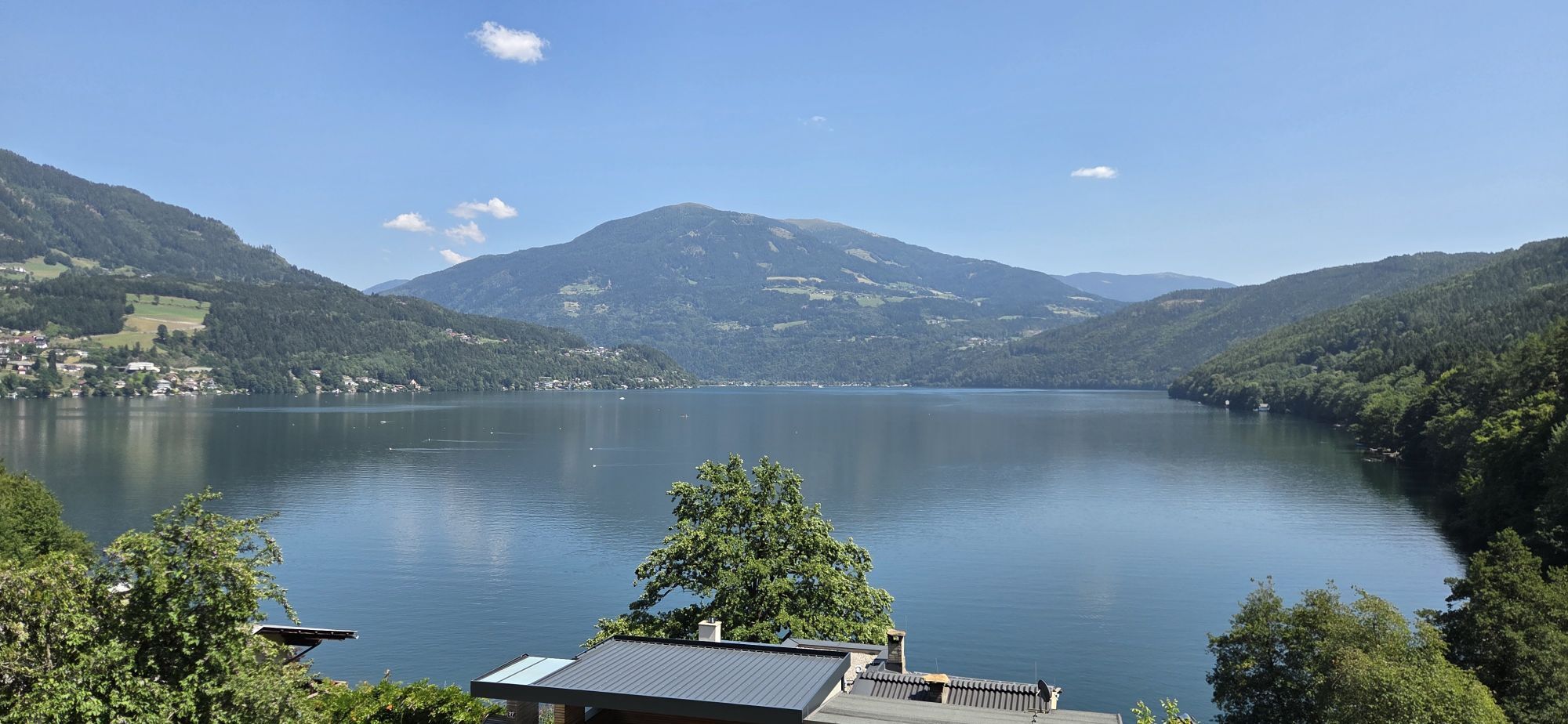
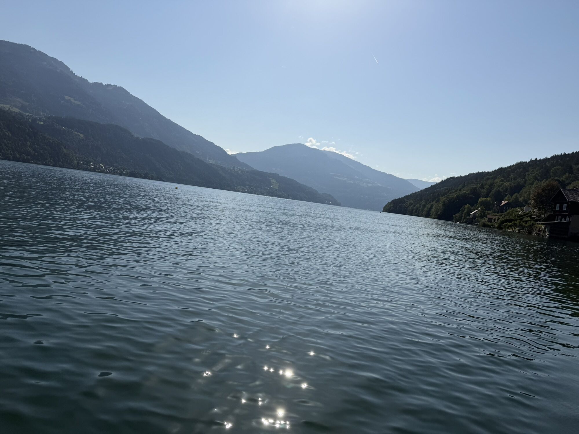
Start at 1,641 m down to 600 m above sea level, swimming possible at Lake Millstatt.

Tehnologija
4 / 6
Stanje
n.a.
Pokrajina
5 / 6
Izkušnje
5 / 6
Najboljši letni čas
Jan
Feb
Mar
Apr
Maj
Jun
Jul
Avg
Sep
Okt
Nov
Dec
Skupna turneja
Zemljevid
Bike route: From the mountain to the lake. Katschberg - Lake Millstatt
srednja
Kolesarjenje
85.15 km
Napaka
Zgodila se je napaka. Prosimo, poskusite znova.
Informacije o poti
Pot

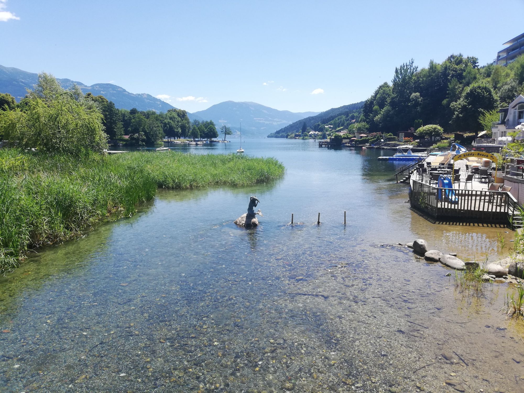
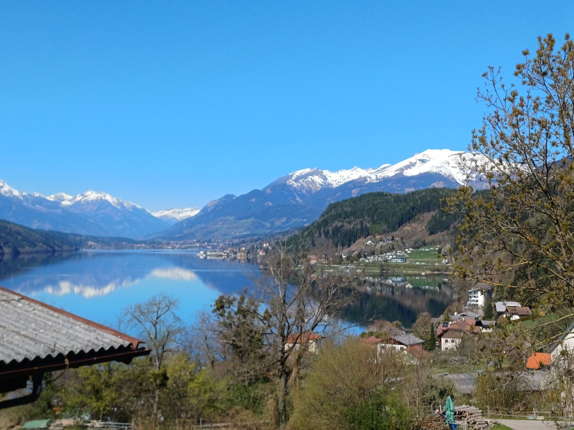
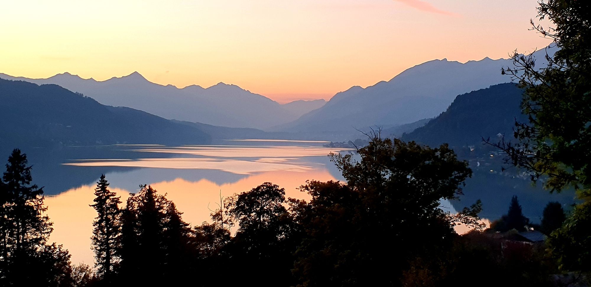
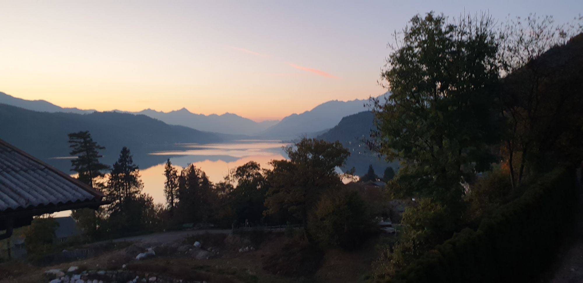
The lake is calling! Bike route over 1,000 meters altitude from the Katschberg down to Lake Millstatt.

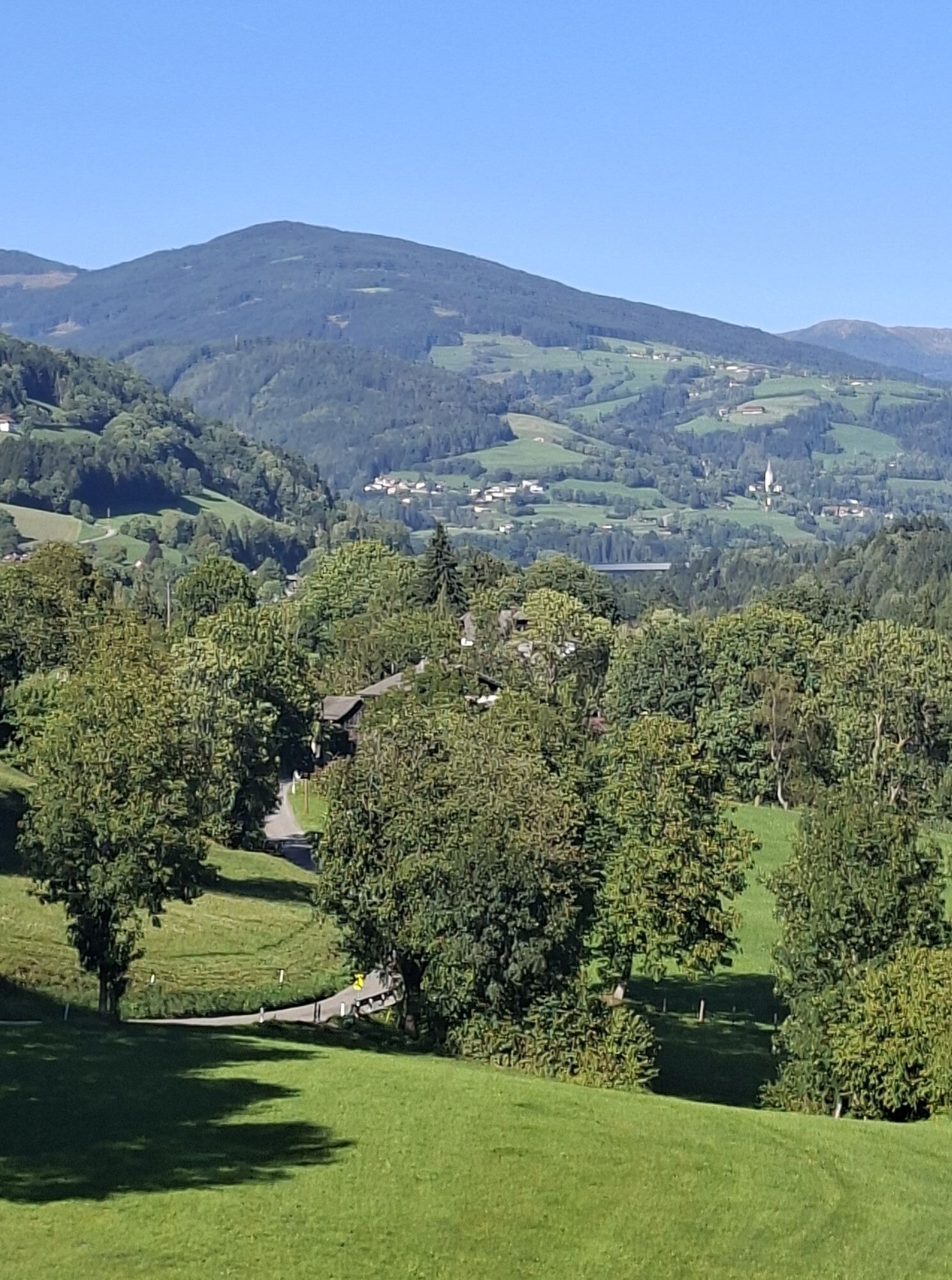
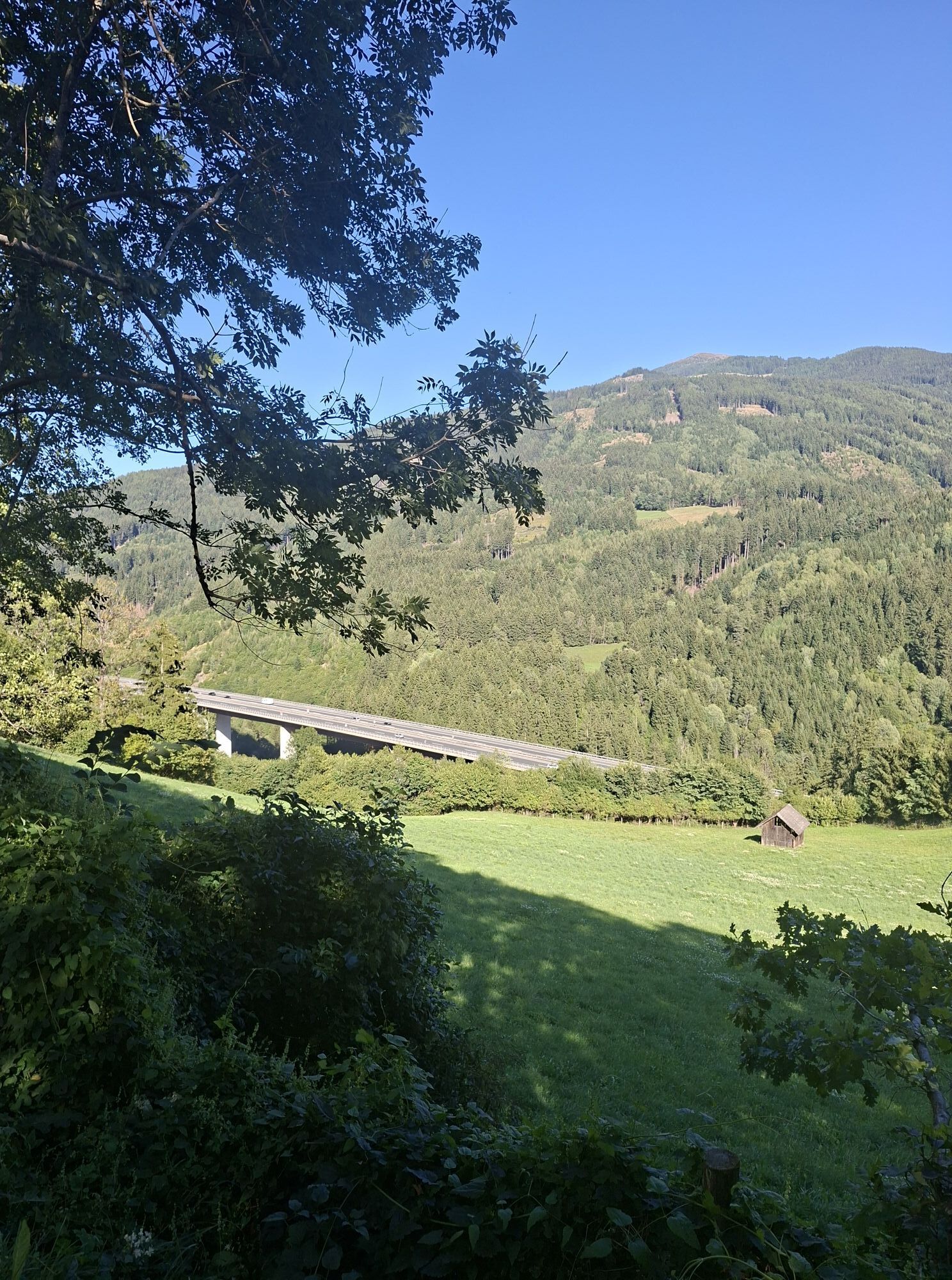
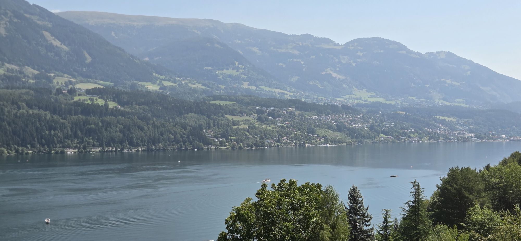
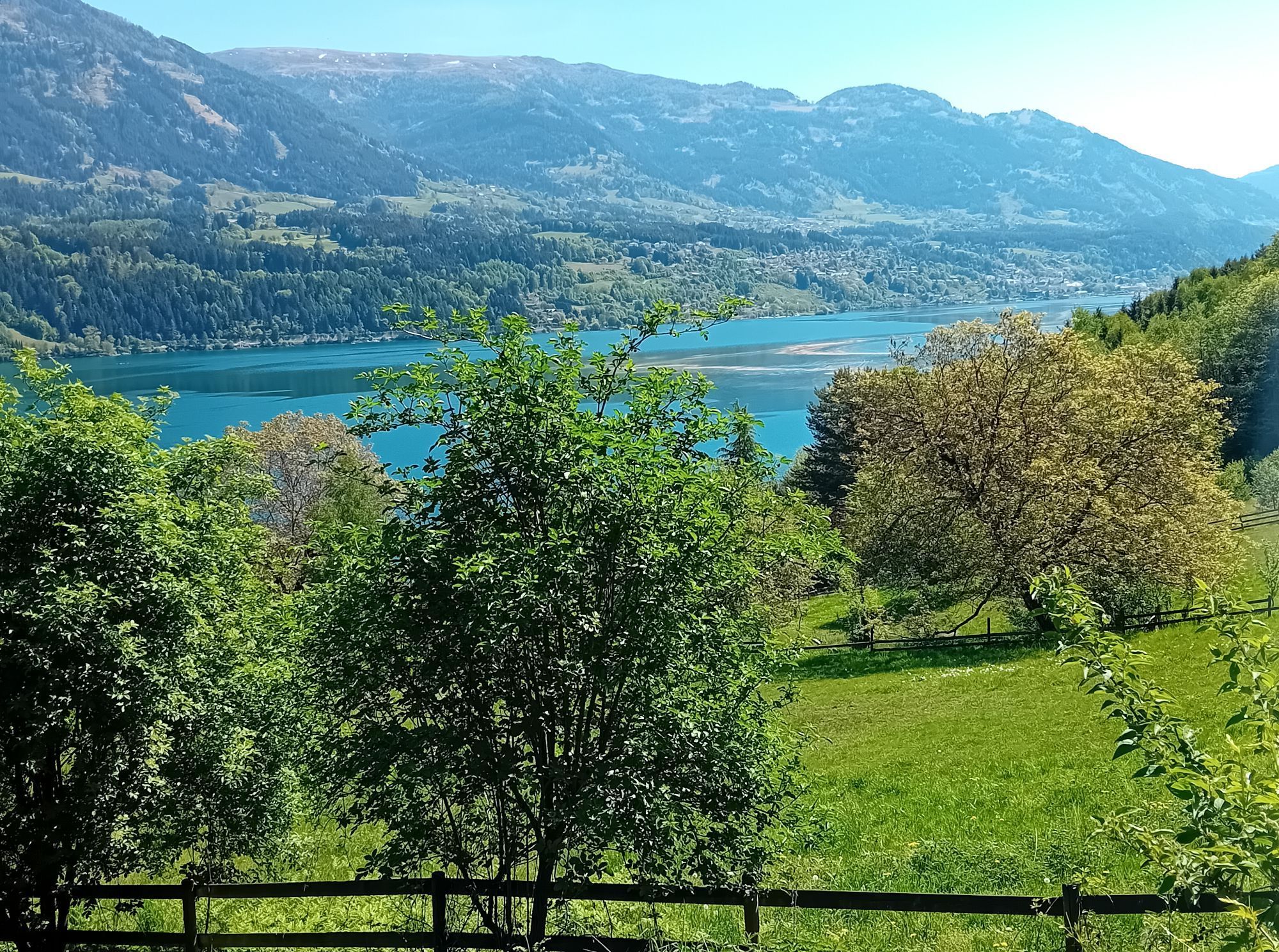
Starting at just under 1,641 m on the Katschberg height. You cycle downstream through the Liesertal valley to the artists' town Gmünd and continue via the Roman road to Seeboden. Now around - via Döbriach, Dellach, Millstatt - Seeboden a bit uphill and downhill around Lake Millstatt. After a swim, we cycle back to Gmünd. Here you can either book a shuttle transfer with Bacher Reisen Gmünd back to the Katschberg or cycle back to the Katschberg. (Warning: only for well-trained!)

Oprema

Don't forget your bike helmet and water bottle

Informacije o prihodu
Prihod

Start at the Katschberg height

Parkirišče

Parking lot P1 directly next to the Katschberg federal road B99

Dodatne informacije in nasveti
Stopnja težavnosti

4
Še ni pregledov
Napišite pregled

Mnenja pomagajo drugim uporabnikom pri izbiri naslednje pustolovščine. Ocenite samo izlet, ne pa tudi vremena ali prigrizka.

Izberite eno od zvezdic, da ocenite ogled
Slaba turneja
Šibka turneja
Povprečna turneja
Dobra tura
Odlična tura
Pohodništvo in sledenje

Pohodništvo in sledenje

Pohodništvo in sledenje
Zaradi več kot 550.000 predlogov izletov, podrobnih zemljevidov in intuitivnega načrtovanja poti je aplikacija obvezna oprema za vse ljubitelje narave.
bergfex