


SH 40 Hochalm - Trail - Route
Stopnja težavnosti: S2
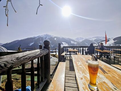
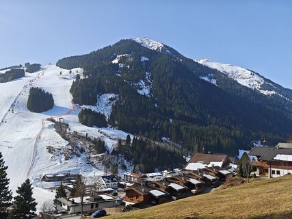
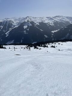
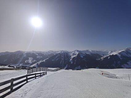
Fotografije naših uporabnikov
-

 © Roswitha ZeillerUstvarjeno na 18.08.2025
 -

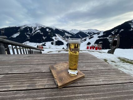
 © Regina Kaiser 1Ustvarjeno na 24.09.2024
 -
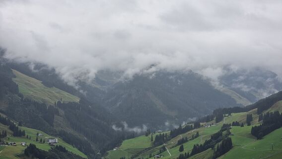
 © Stefan SpiegelburgUstvarjeno na 31.12.2022
 -
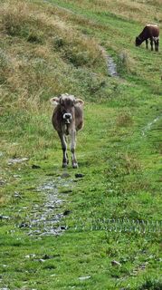
 © Dive DidiUstvarjeno na 08.09.2022
 -
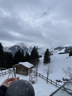
 © Dive DidiUstvarjeno na 08.09.2022
 -
 © Alexandra BazeltUstvarjeno na 04.04.2026
 -
 © P NykampUstvarjeno na 01.04.2026
 -
 © P NykampUstvarjeno na 01.04.2026
 -
 © annnaa0801Ustvarjeno na 31.03.2026
 -
 © Johann PegrinUstvarjeno na 28.03.2026
 -
 © Johann PegrinUstvarjeno na 28.03.2026
 -
 © Cristian Di BiaseUstvarjeno na 10.03.2026
 -
 © Michi SteiertUstvarjeno na 08.03.2026
 -
 © Michi SteiertUstvarjeno na 08.03.2026
 -
 © Michi SteiertUstvarjeno na 08.03.2026
 -
 © Michi SteiertUstvarjeno na 08.03.2026
 -
 © Michi SteiertUstvarjeno na 08.03.2026
 -
 © Alexandra BazeltUstvarjeno na 07.03.2026
 -
 © Alexandra BazeltUstvarjeno na 07.03.2026
 -
 © Michi SteiertUstvarjeno na 07.03.2026
 -

 © KapitänUstvarjeno na 04.03.2026
 -
 © BodortlandUstvarjeno na 16.02.2026
 -
 © Marcel PriesterUstvarjeno na 15.02.2026
 -
 © Claudio GreveUstvarjeno na 13.02.2026
 -
 © MiaaaUstvarjeno na 12.02.2026
 -
 © Claudio GreveUstvarjeno na 11.02.2026
 -
 © Der SchorniUstvarjeno na 08.02.2026
 -
 © Torben BoyenUstvarjeno na 27.01.2026
 -
 © Flóra KohlmannUstvarjeno na 13.01.2026
 -
 © KatrinUstvarjeno na 03.01.2026
 -
 © ChrisUstvarjeno na 21.06.2025
 -
 © Matej Mikus 1Ustvarjeno na 14.01.2025
 -
 © Matej Mikus 1Ustvarjeno na 29.12.2024
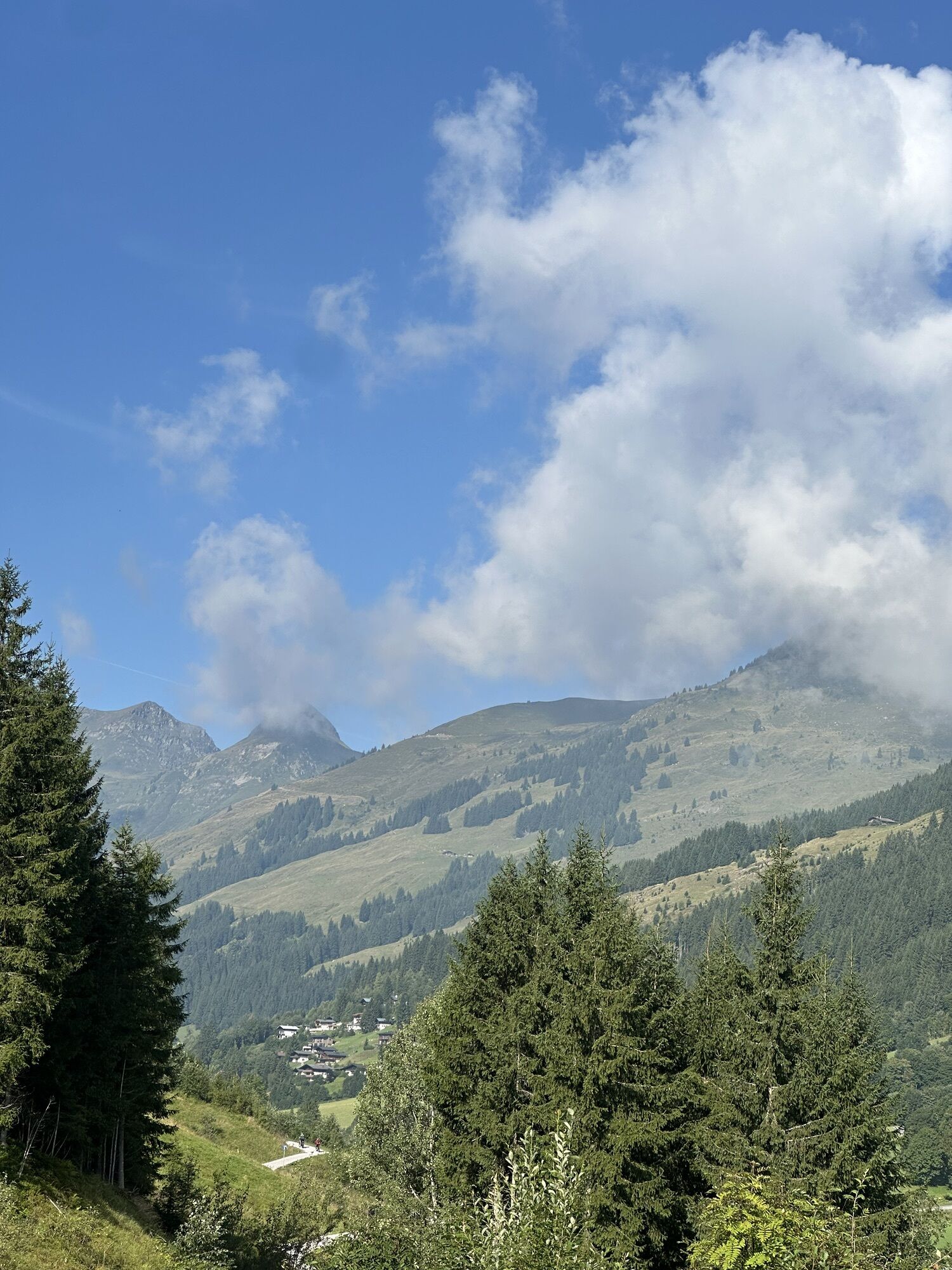


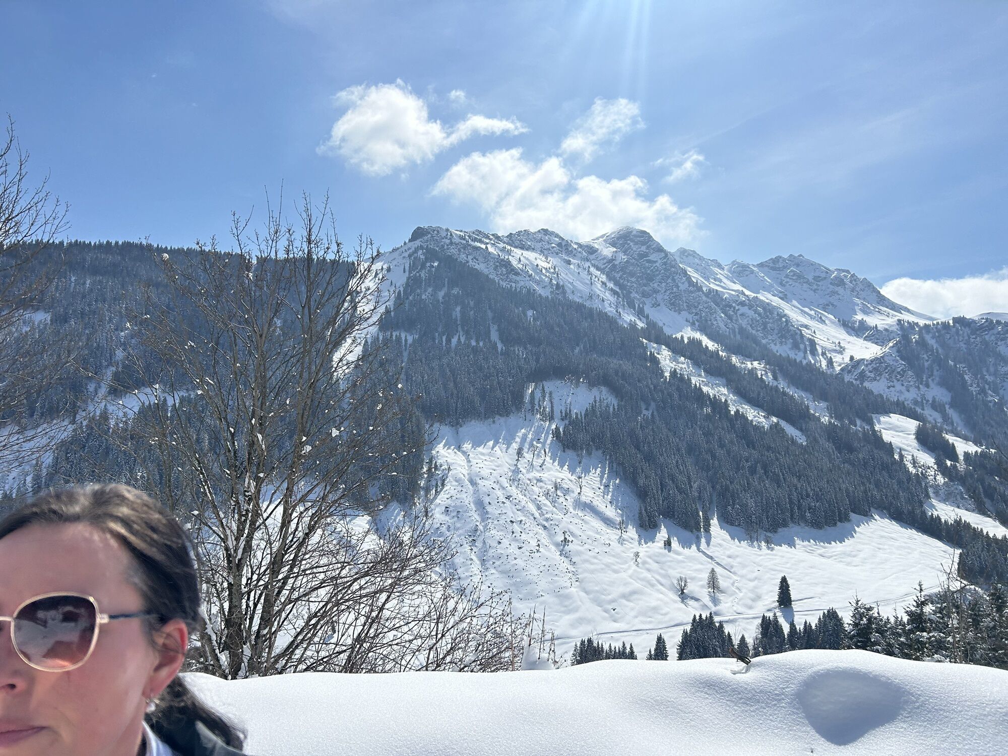
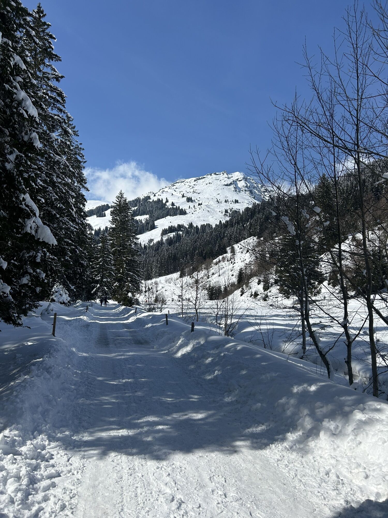


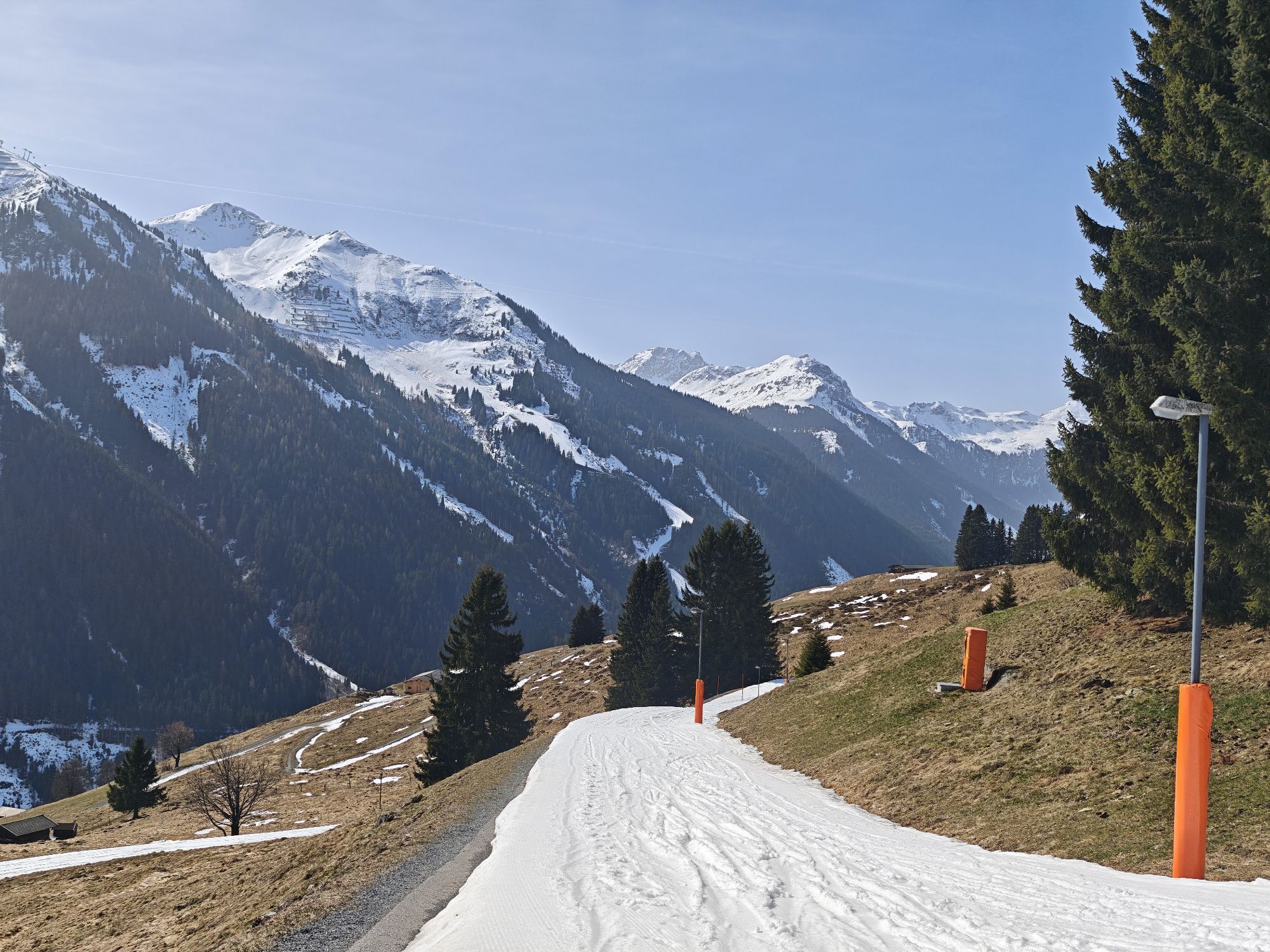

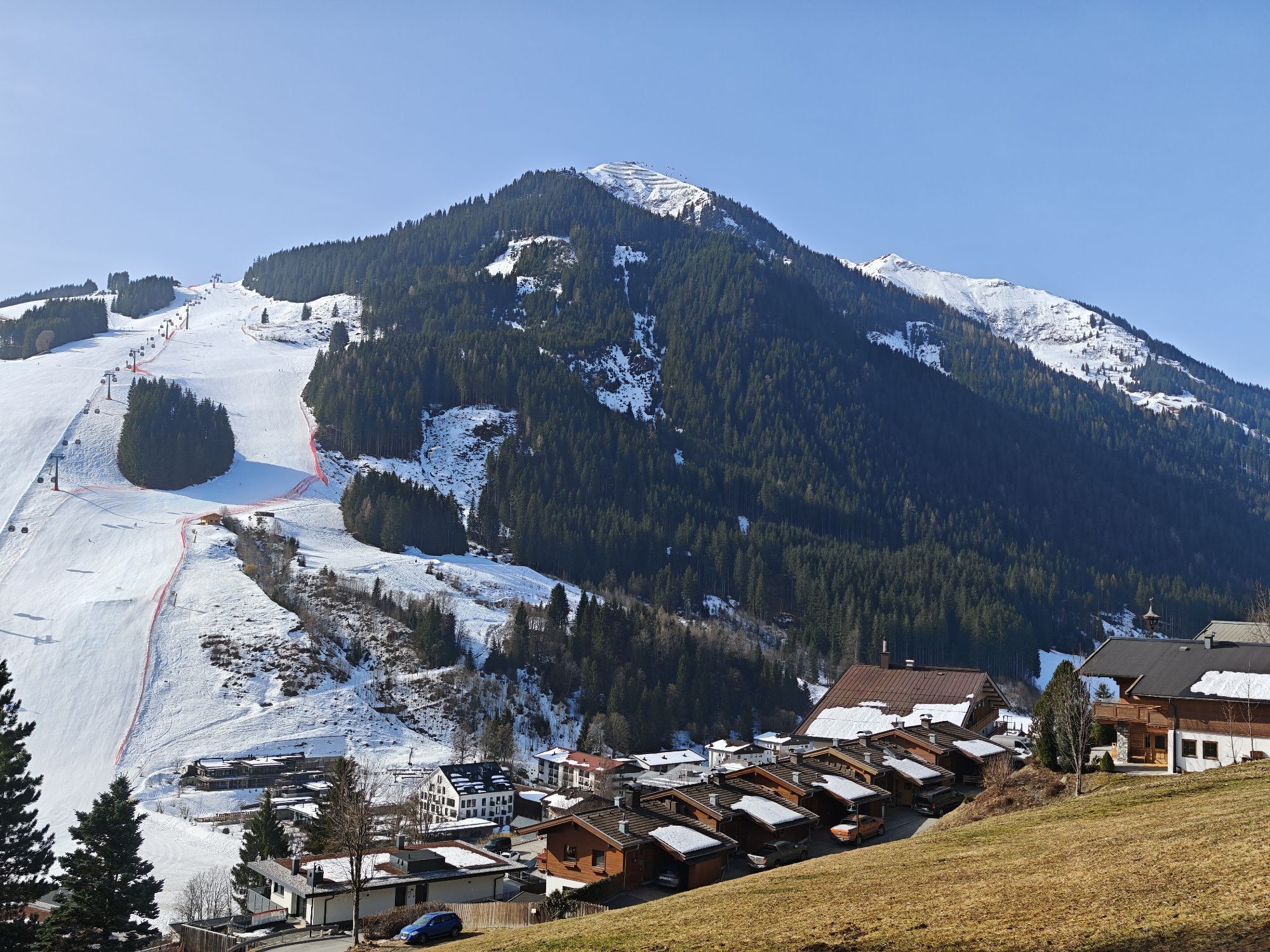
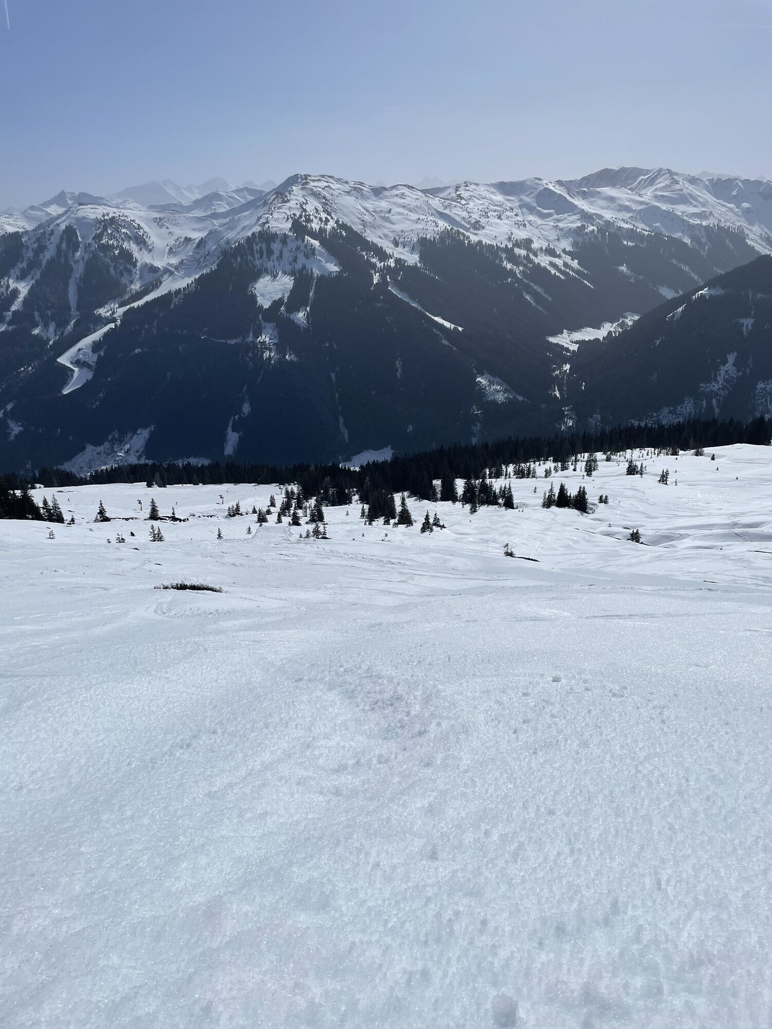
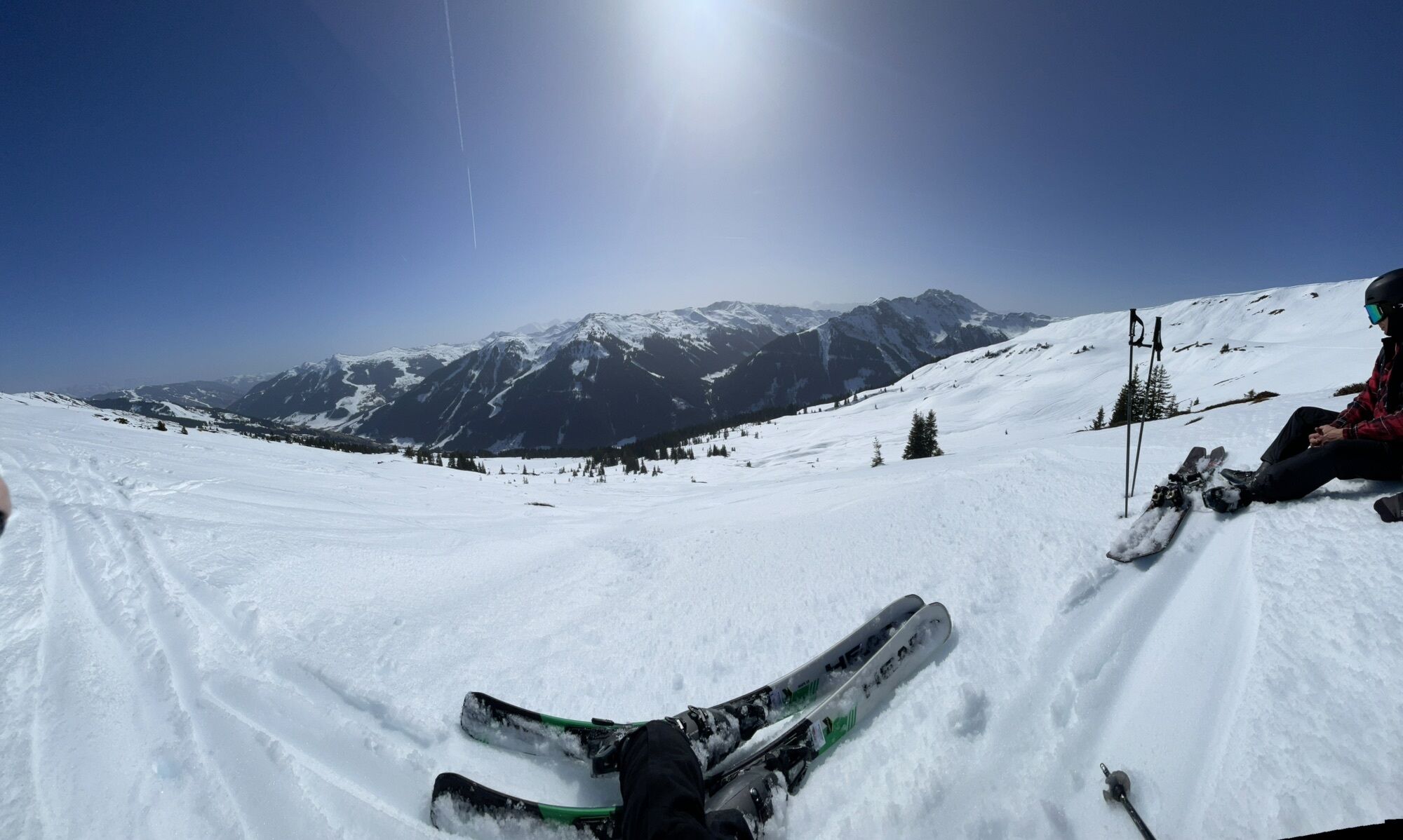
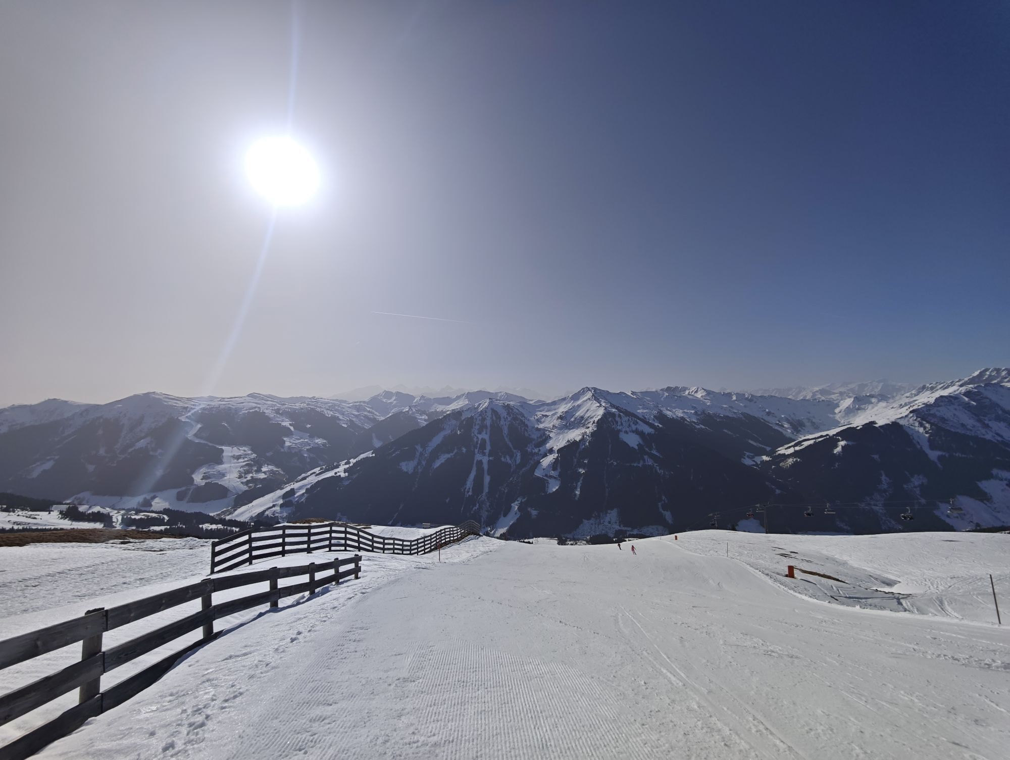
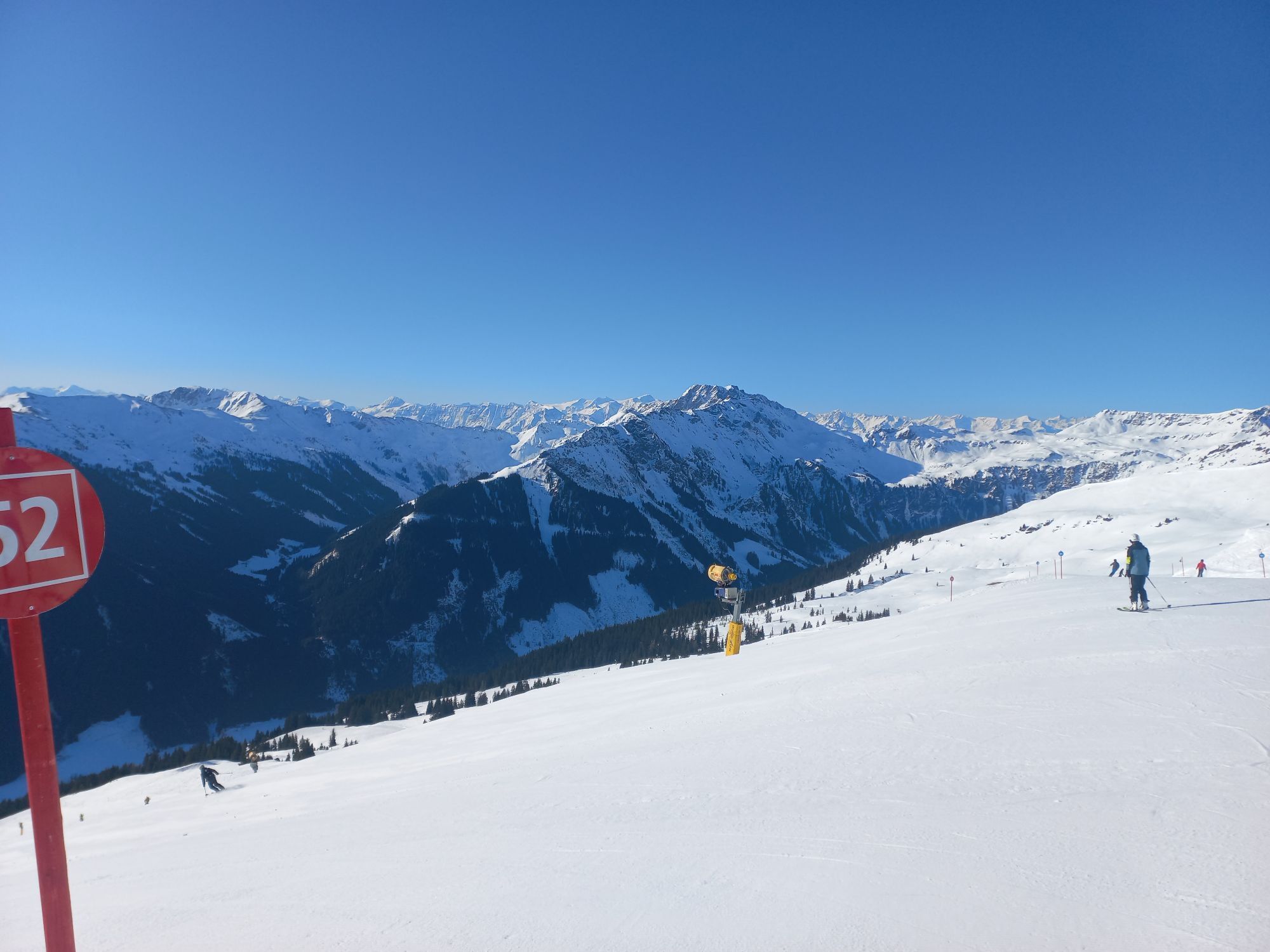
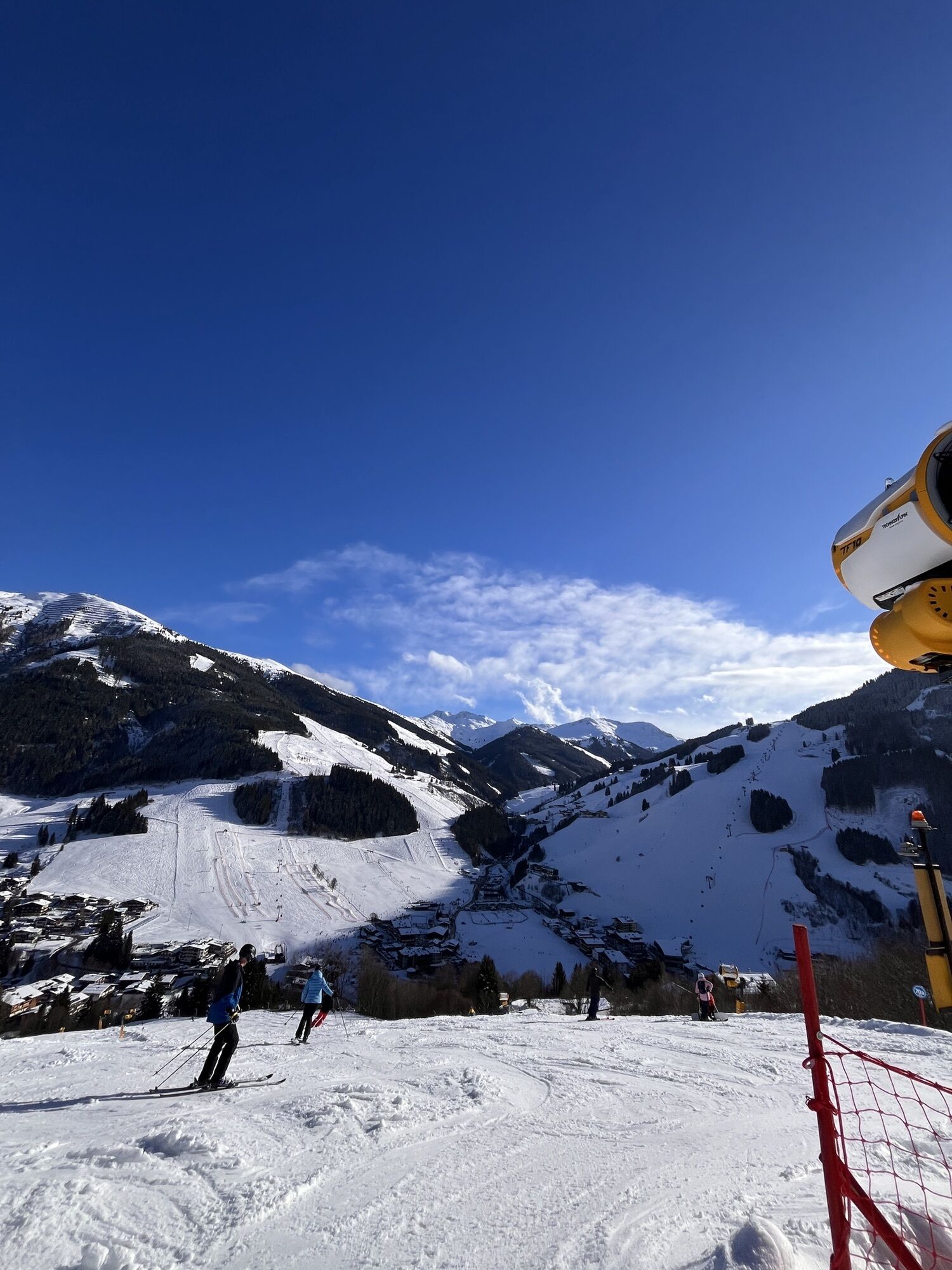

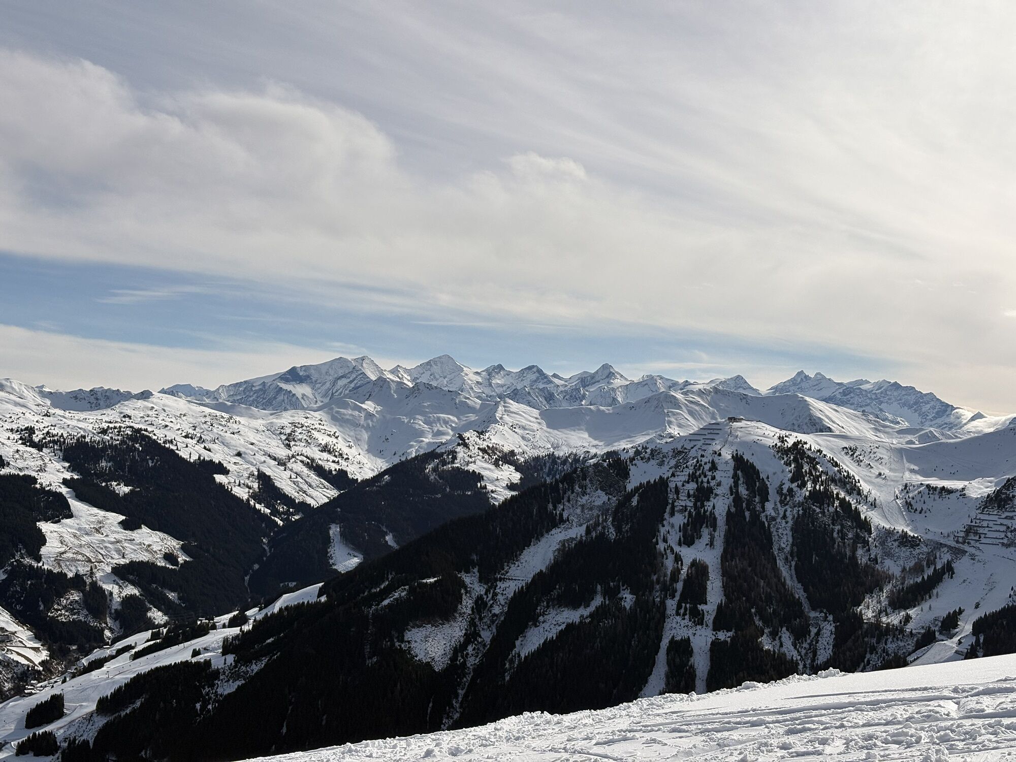


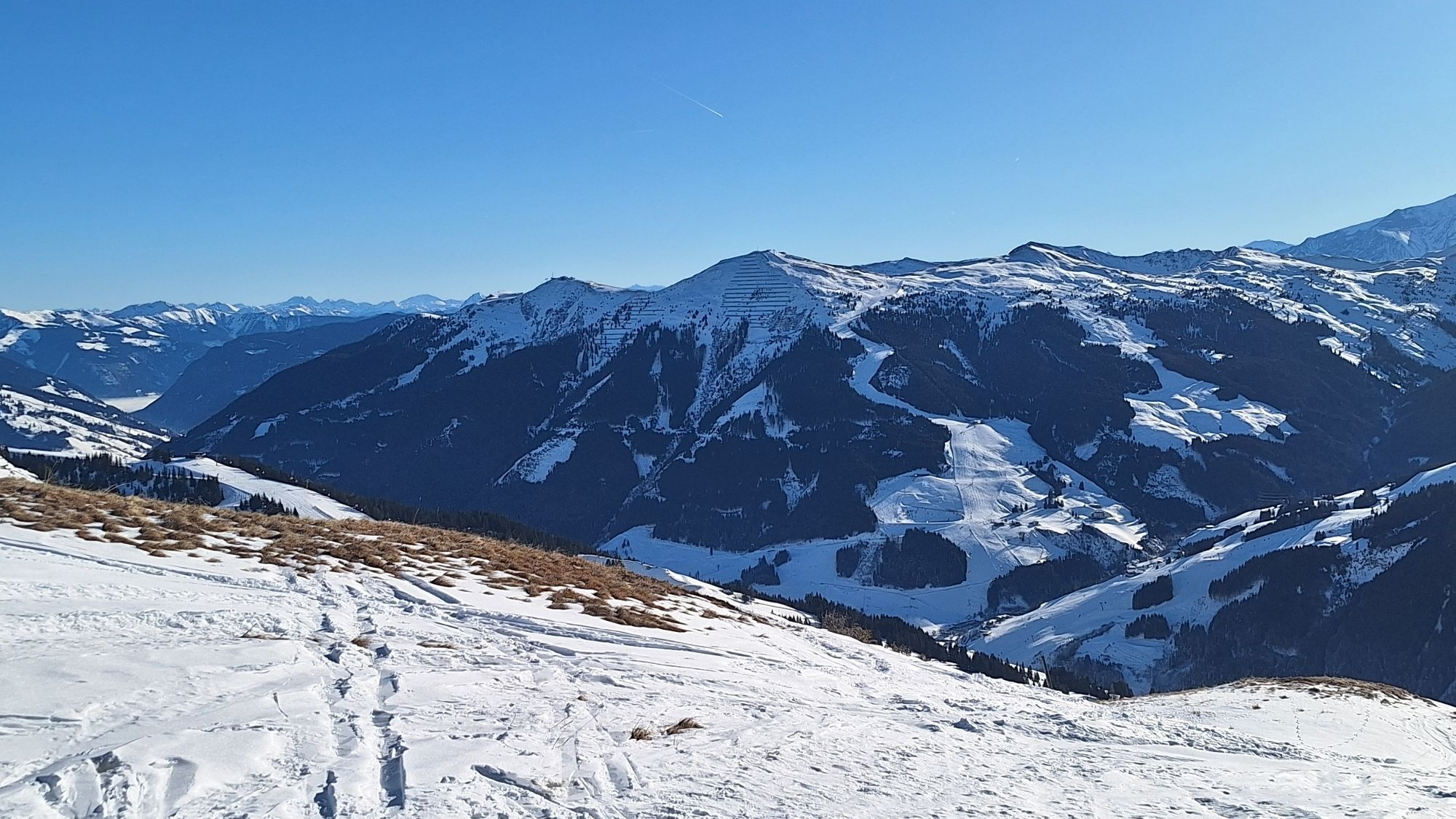
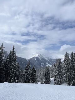
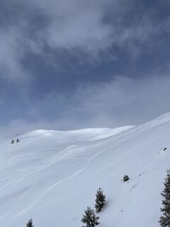
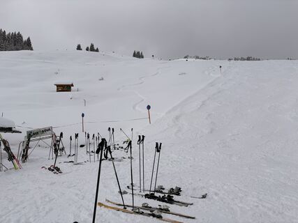
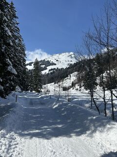
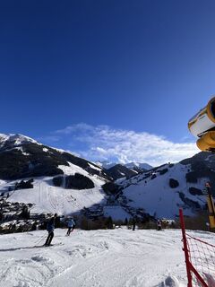
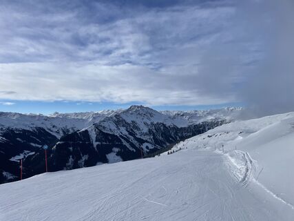
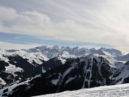
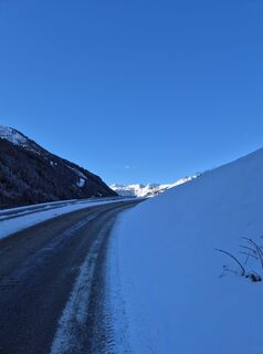
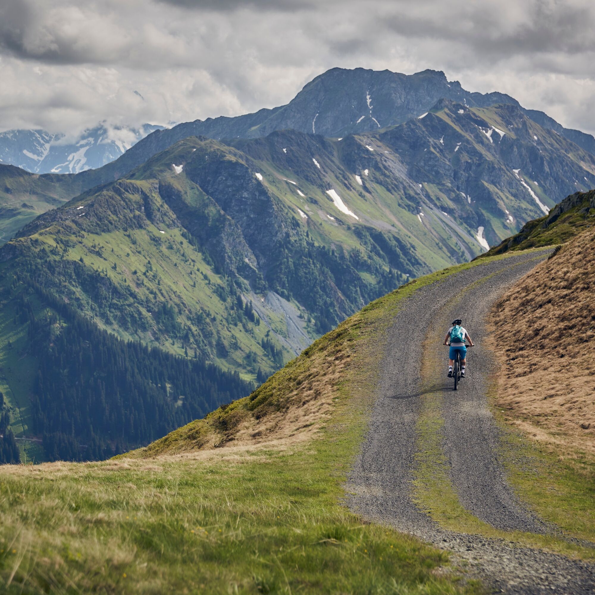
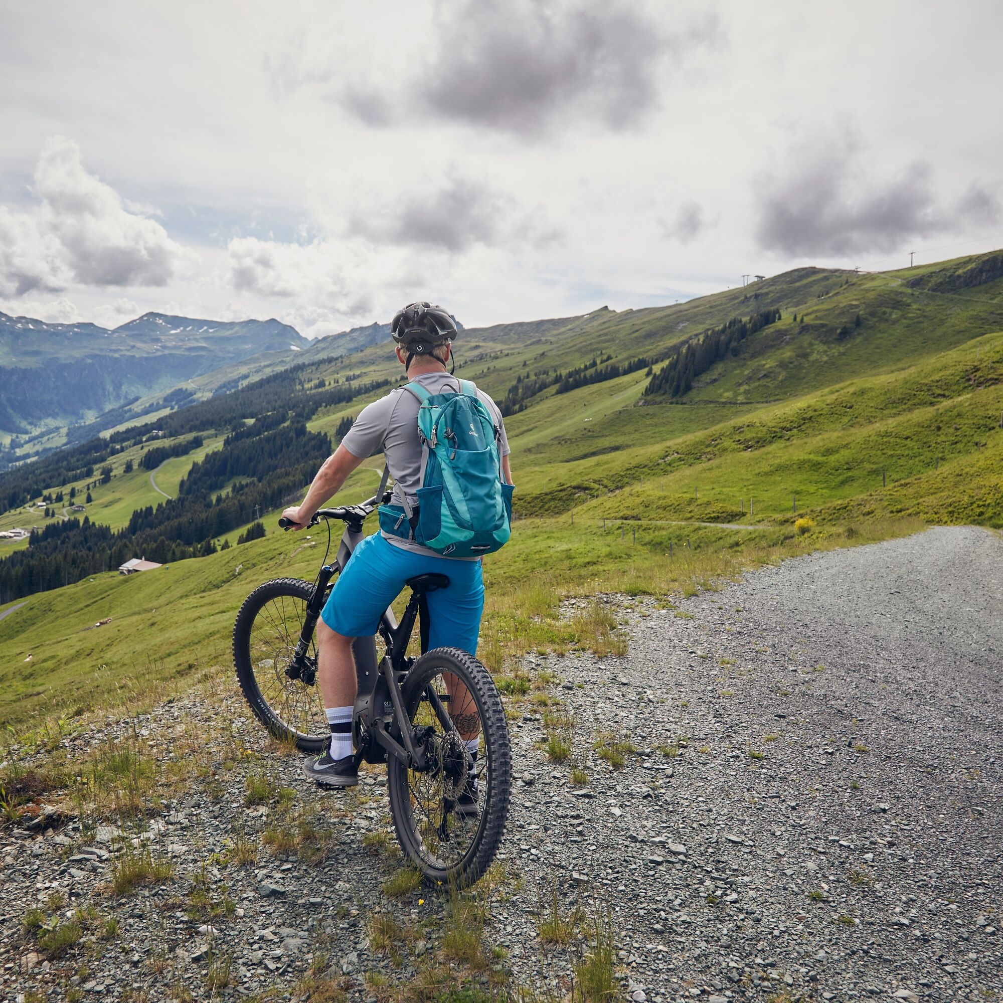
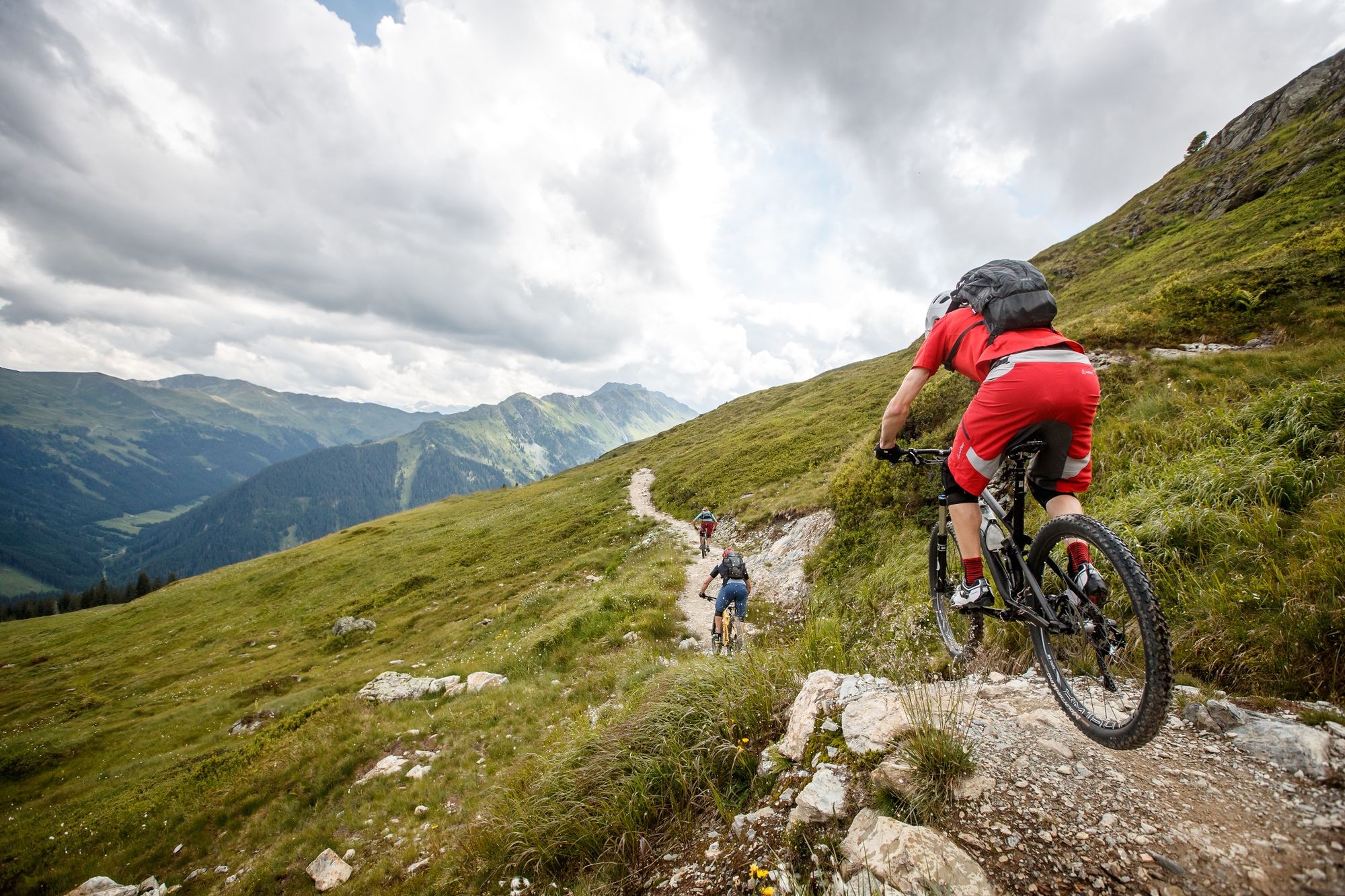
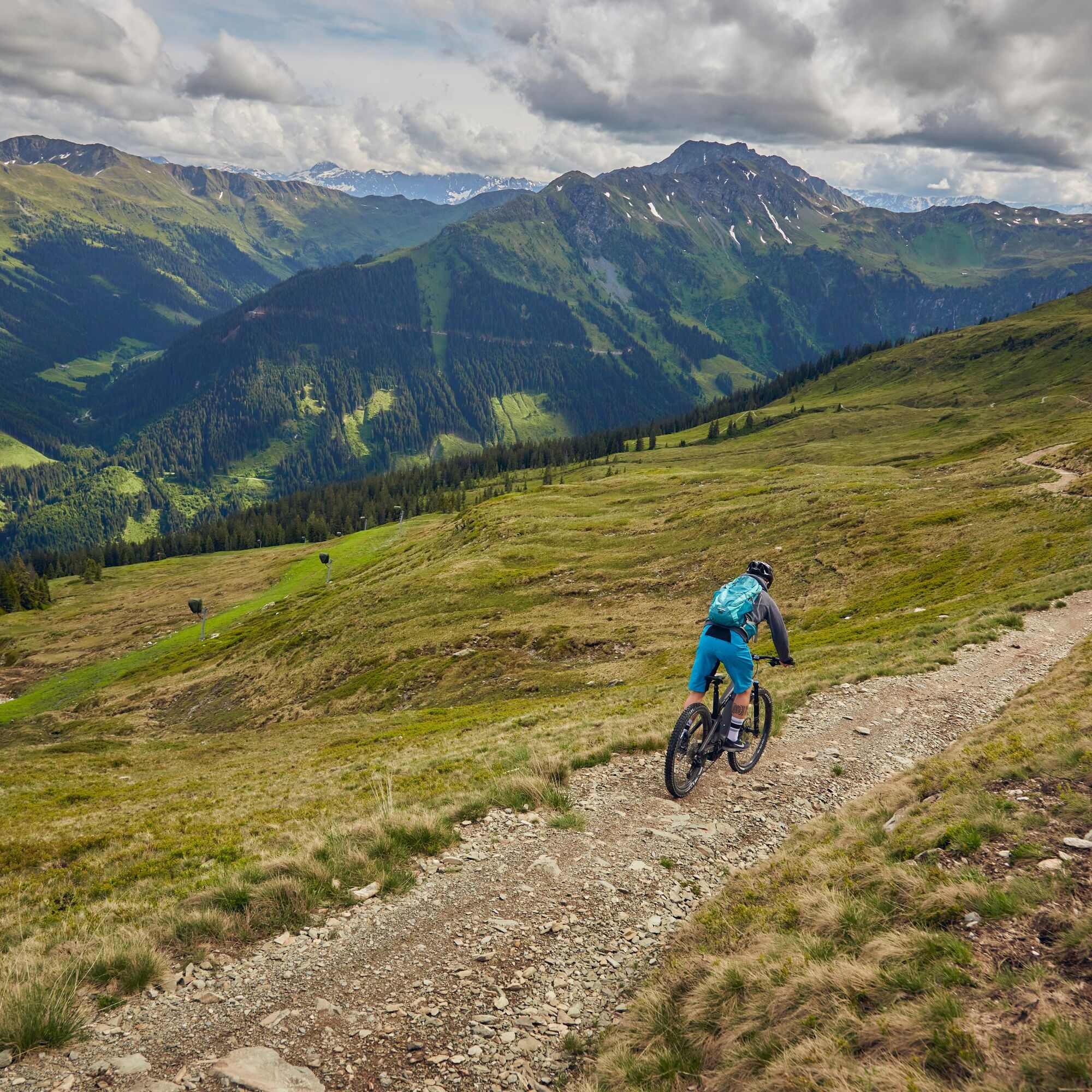
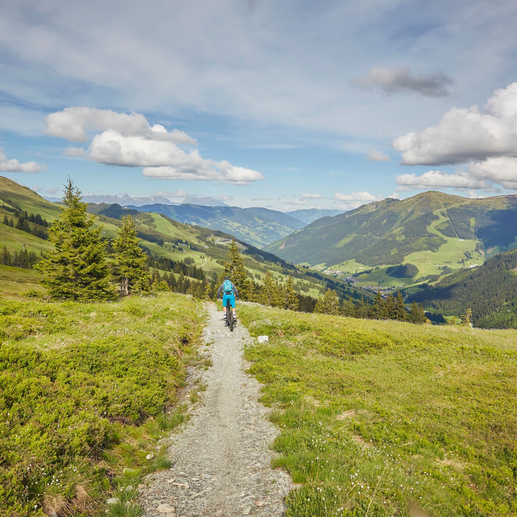
Heading towards the valley end, this route starts off leisurely before, after just under 1 km, crossing to the other side of the Saalach river where the first elevation gains await. The key here is to...
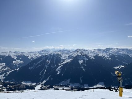
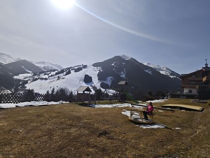
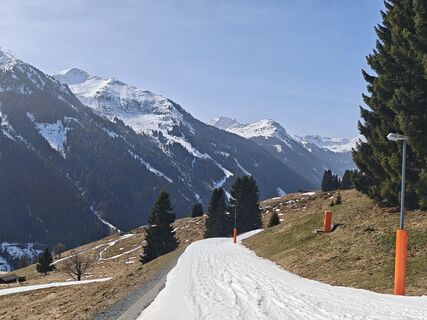
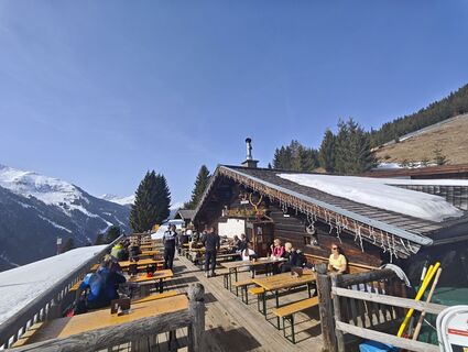
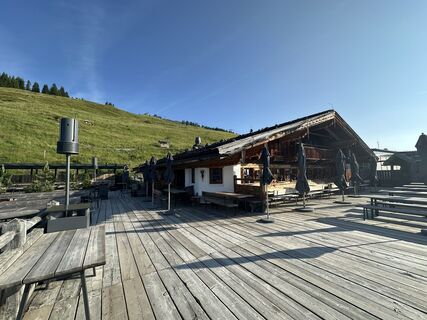
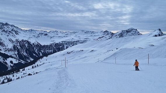
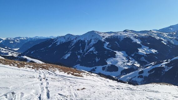
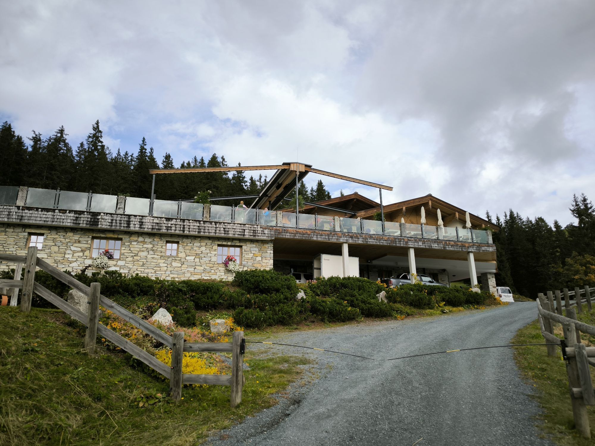
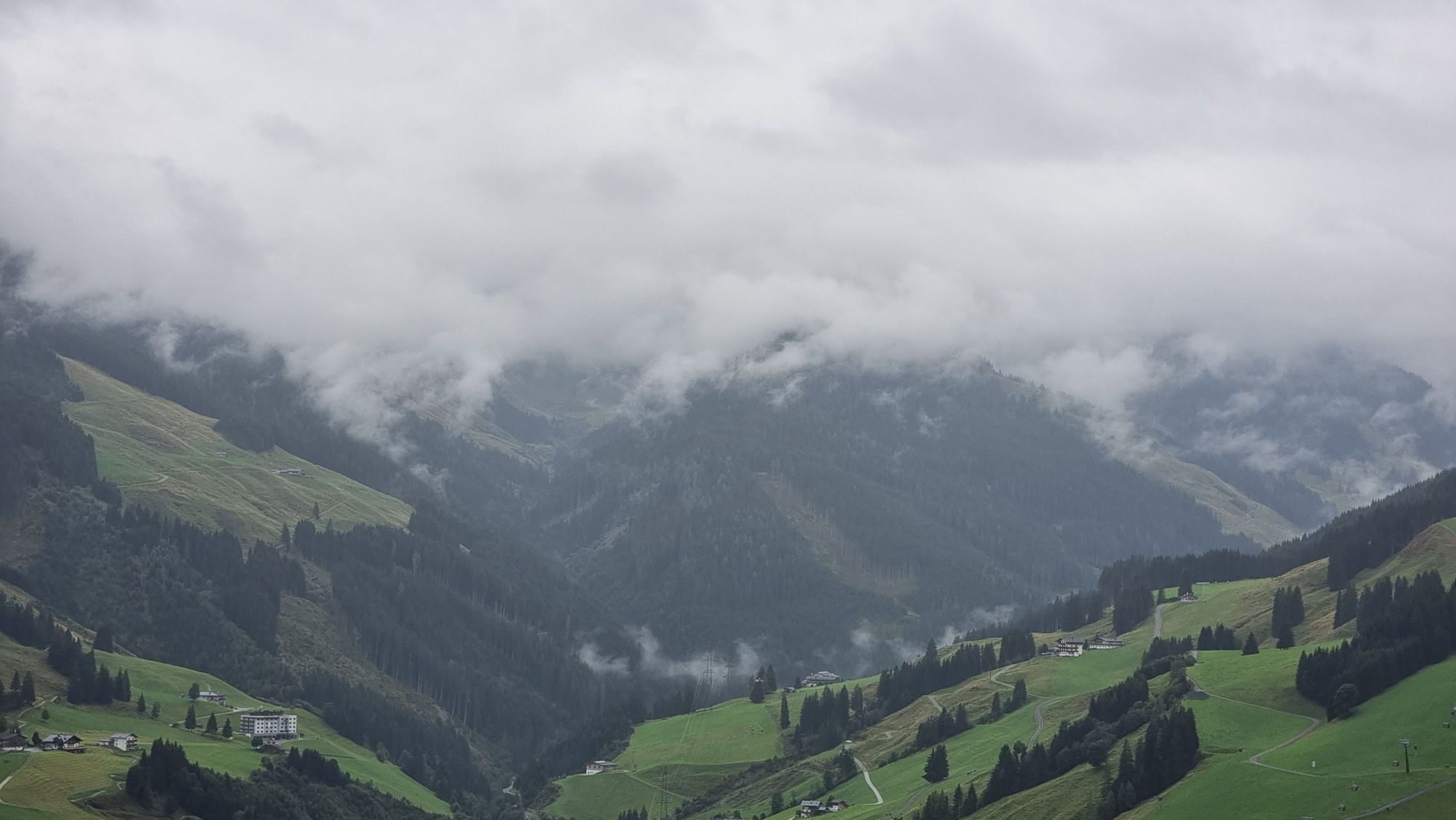
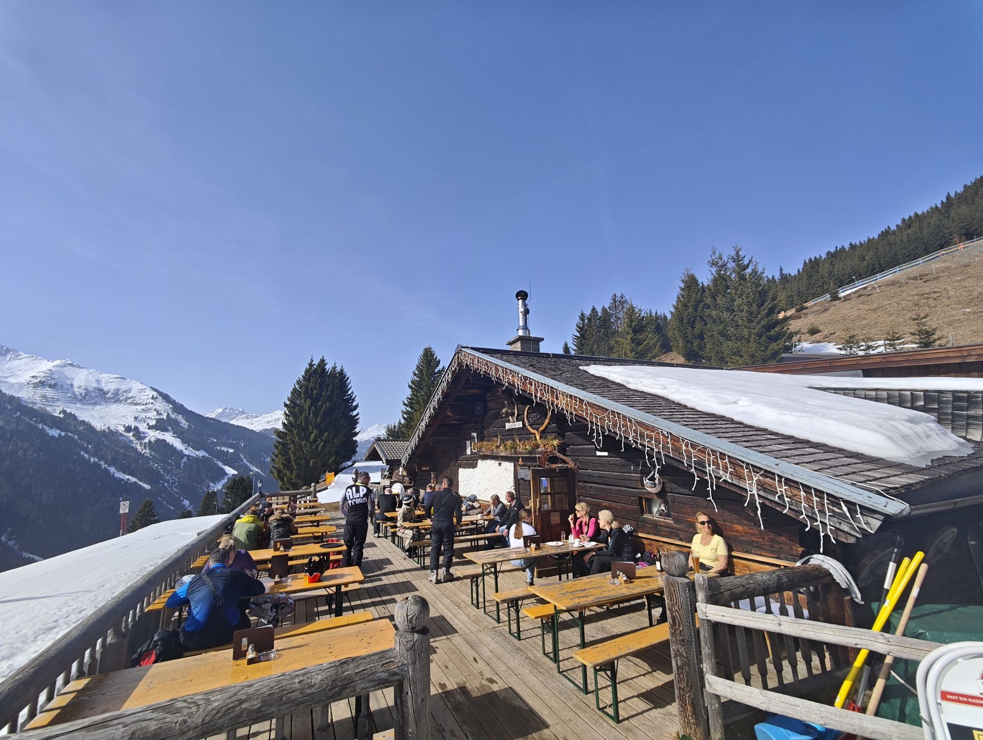
Heading towards the valley end, this route starts off leisurely before, after just under 1 km, crossing to the other side of the Saalach river where the first elevation gains await. The key here is to pace your strength properly, as the next nearly 900 m of elevation are challenging. Following a consistent incline, you stay on the forest road passing the Pfefferalm, Wieseralm, and Roßwaldhütte, which invite you to recharge at good intervals. Once you pass the Hochalm mountain station, located just a few meters below the Reichkendlkopf (1941 m), the uphill part is almost done and rewarded by a wide view over the Glemmtal valley. The now flowing Hochalm trail starting from the Spieleck mountain station offers a bath of emotions and lets you forget the previous exertion. The last downhill section follows the forest path towards the valley end, then runs parallel with the Forsthofalm-Runde route (SH06) on the Glemmtal cycle path back to the starting point Hinterglemm.

Da
Da
Da
S2
Download the route as a single map HERE!
Priljubljeni izleti v okolici
-
4.7
Tristkogel
težkoPohodništvo 15.6 km -
4.9
Streif Wanderweg
srednjaPohodništvo 5.73 km -
4.5
Kitz Bhf- Kitzbühler Horn und zurück zum Alpenhaus
srednjaPohodništvo 11.8 km -
5.0
Manlitzkogel
težkoPohodništvo 13.4 km -
4.0
Berg der Sinne
svetlobaPohodništvo 4.39 km -
Route 232: Hahnenkamm
Mountainbike 15.1 km -
3.3
Hinterglemm: Talschluß-Höhenweg
svetlobaPohodništvo 10.8 km -
4.3
Schattberg summit circuit
srednjaPohodništvo 3.17 km -
5.0
Panorama route 3 peaks and 2 lakes
srednjaPohodništvo 7.35 km -
4.0
Pillerseetal - Buchsteinwand-Runde
Mountainbike 20.5 km

Pohodništvo in sledenje


Ne zamudite ponudb in navdiha za naslednje počitnice
Vaš e-poštni naslov je bil dodan na poštni seznam.