







Jakobsweg Rheinhessen Palatinate "Monastery Route Worms-Metz Southern Link"
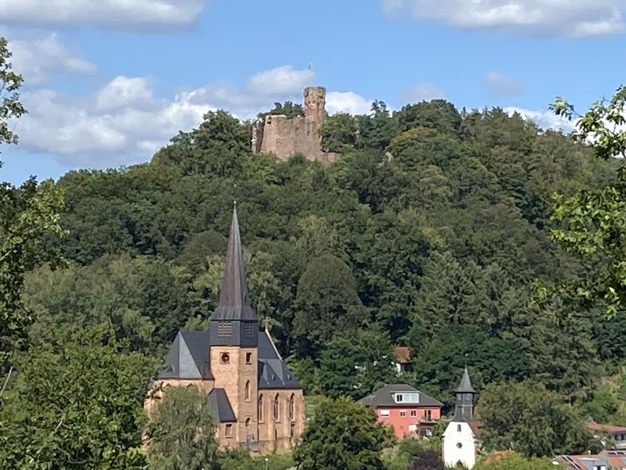

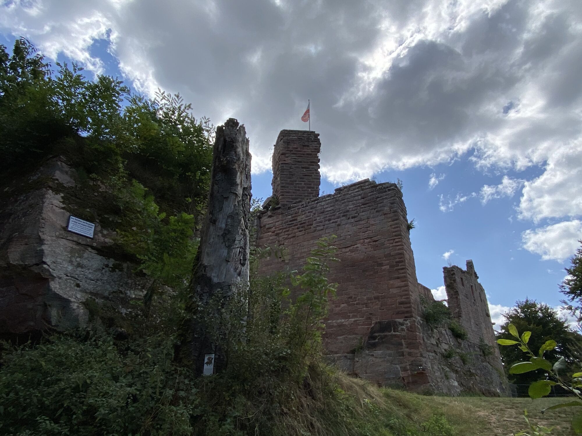
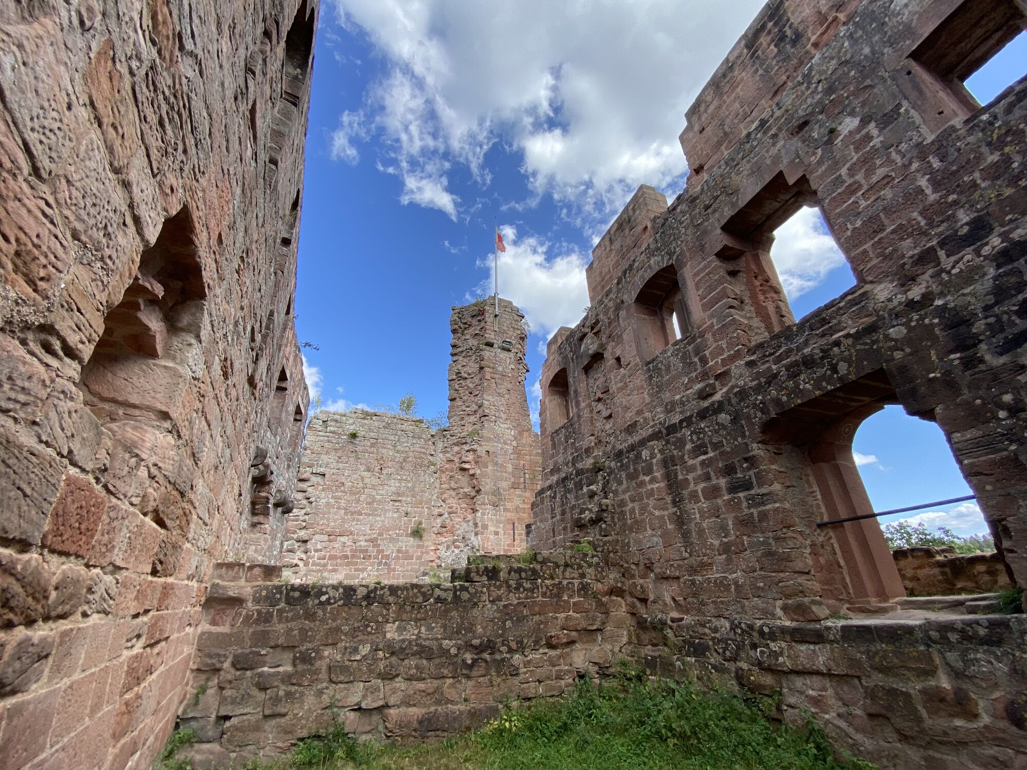
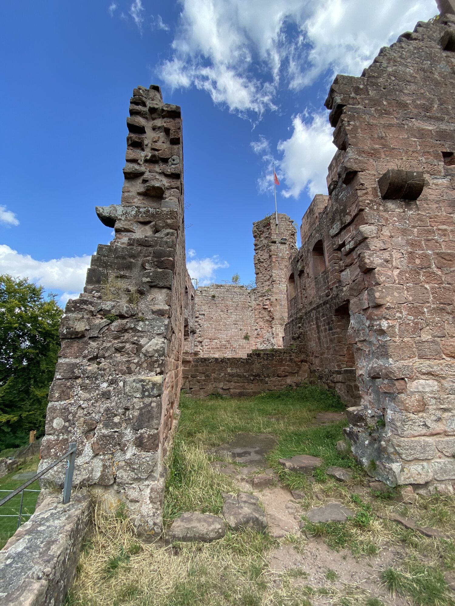
The starting point is the south portal of the cathedral in Worms toward Pfrimm. Along the stream to the Zell panoramic path, the route leads to the vineyards and on to Harxheim. At Monsheim, there is an...
The starting point is the south portal of the cathedral in Worms toward Pfrimm. Along the stream to the Zell panoramic path, the route leads to the vineyards and on to Harxheim. At Monsheim, there is an option to pass through or bypass the town center. Past the former monastery Ramosa, one arrives at the Eiswoog. Here again, the route follows a stream, the Alsenz spring. Until the path inclines toward Kaiserslautern. One of the last highlights before reaching the goal is the Rochus chapel. Upon arrival at Gelterswoog, the northern route from Speyer to Hornbach crosses.


Stage 1: Worms – Harxheim/Zellertal (approx. 23 km)
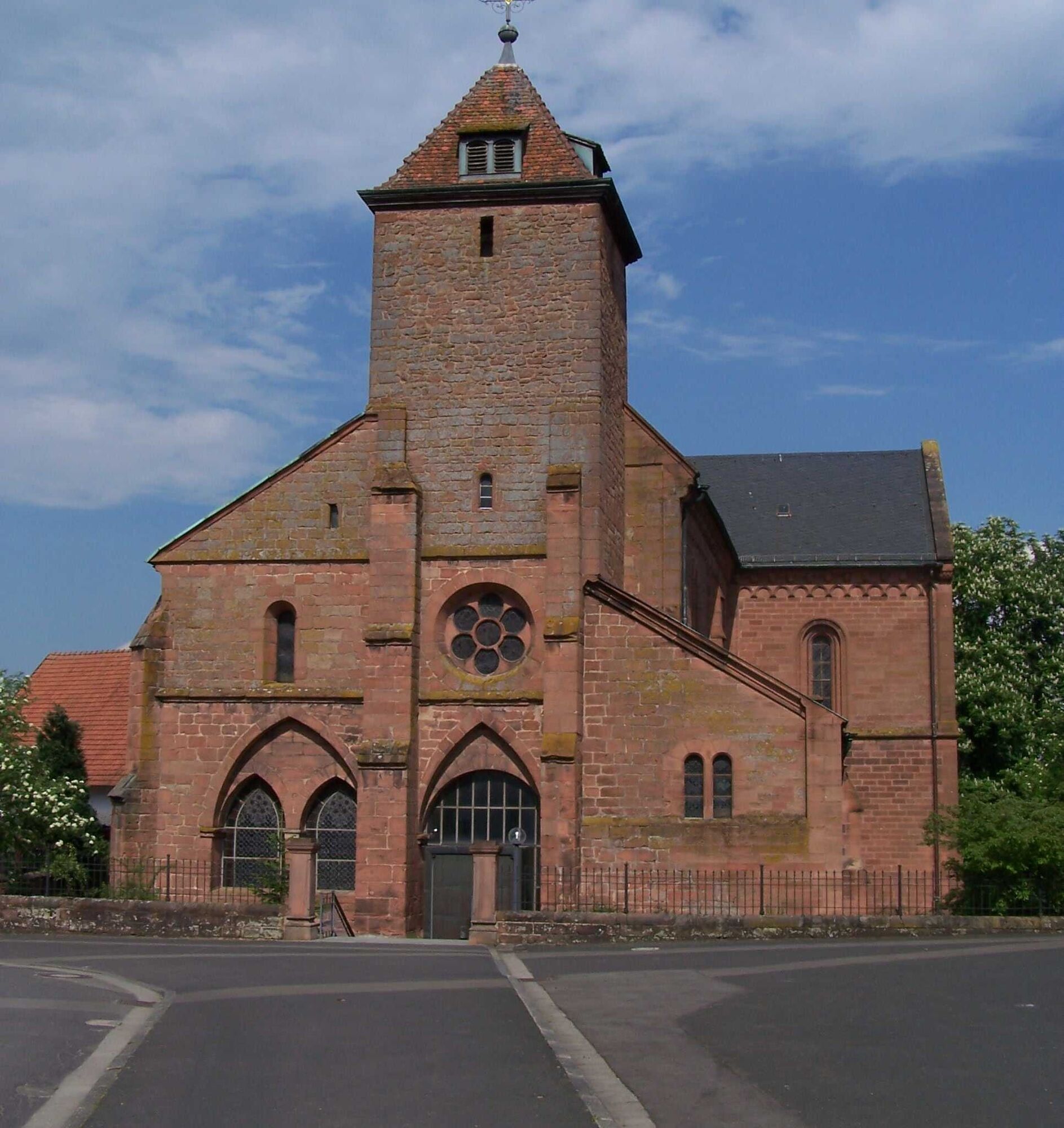
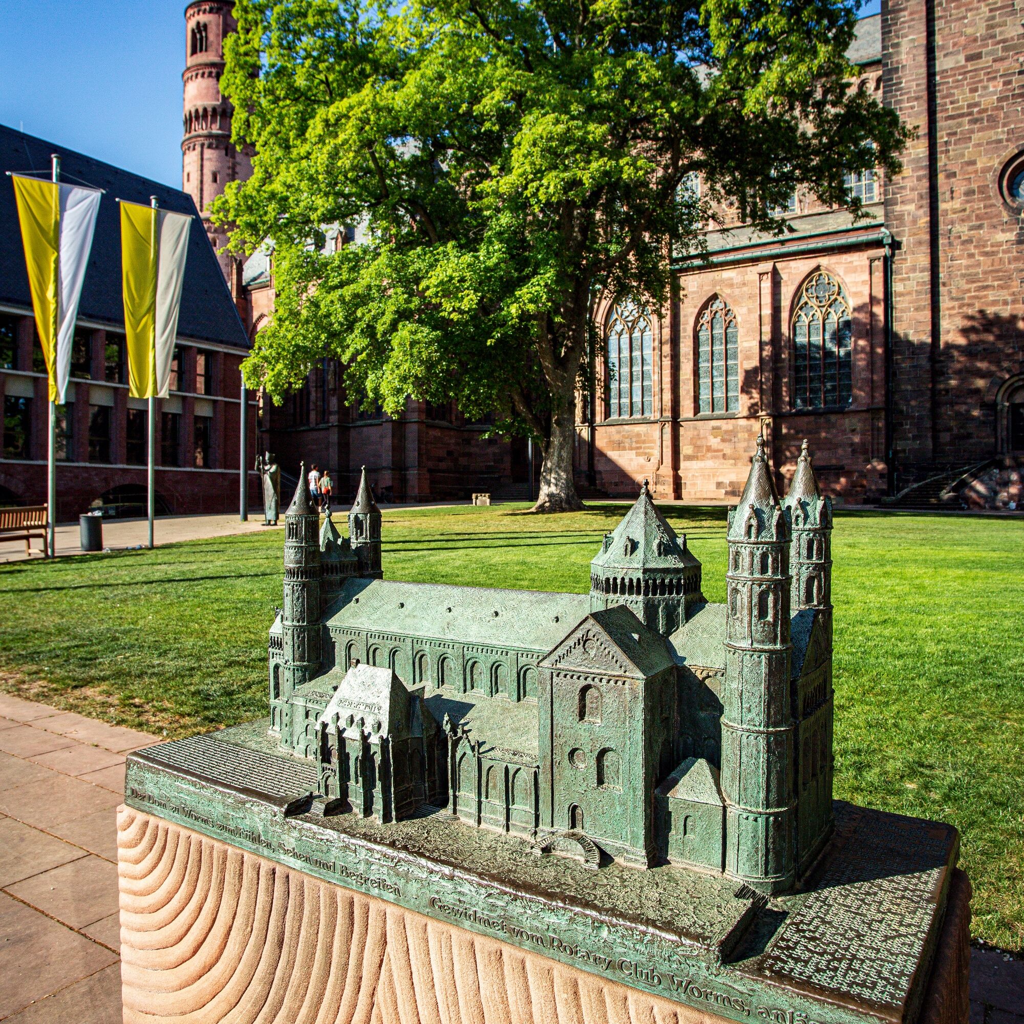
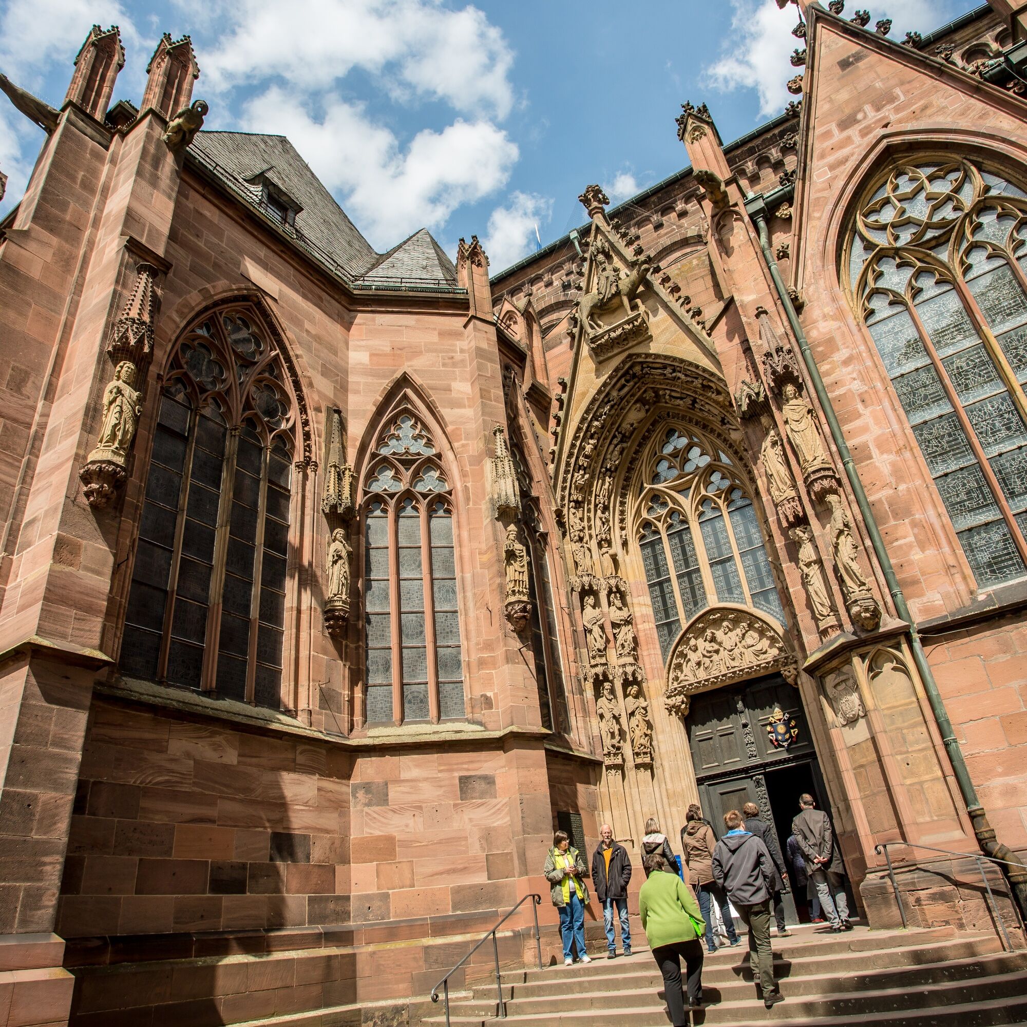
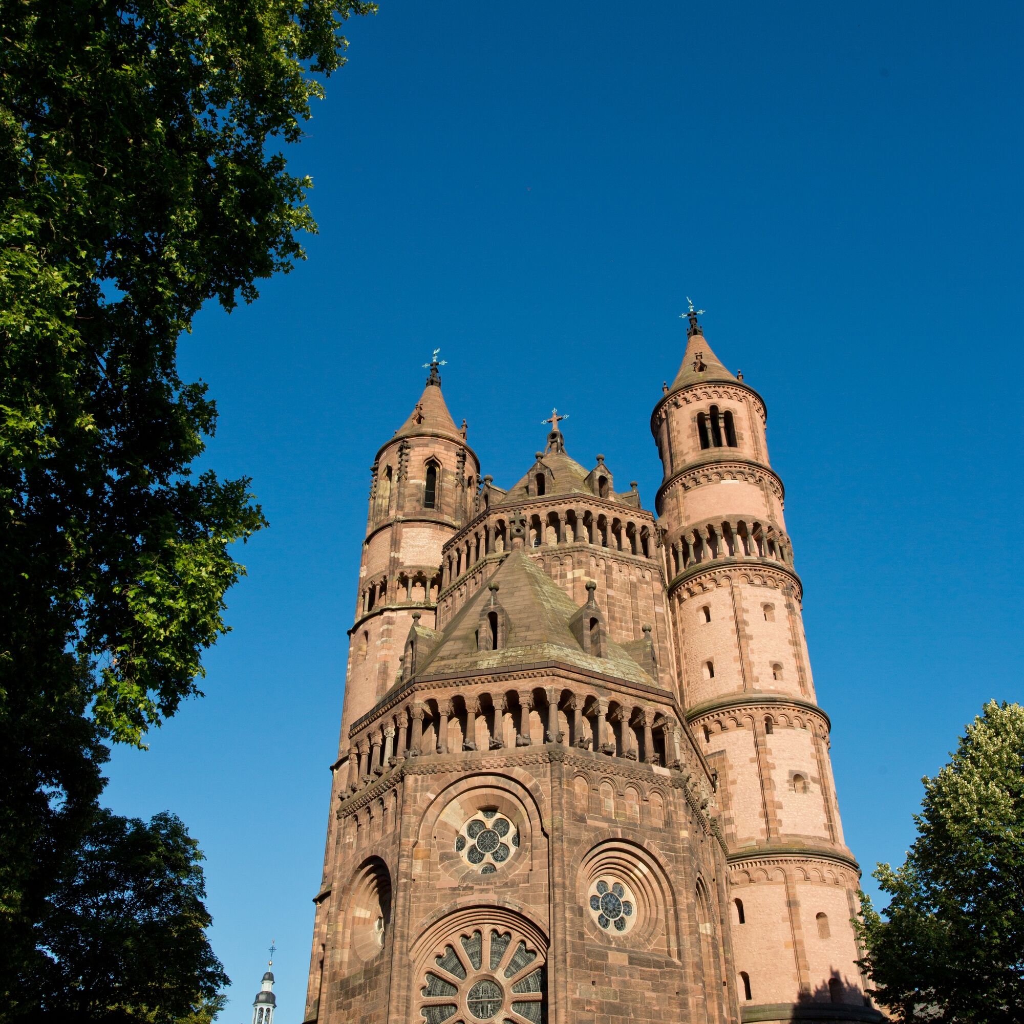
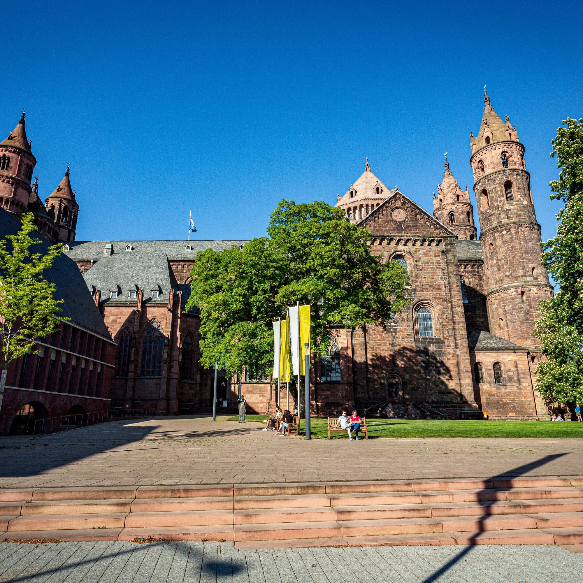
The starting point is the south portal of the Cathedral. We pass the Luther monument and cross the railway line shortly before the station, then follow Von-Steuben-Straße towards the outskirts of town until we reach the Pfrimm. There, turn left and always follow the stream upstream, soon reaching Pfeddersheim. We stay on the Pfrimmtal path toward Monsheim and continue to Wachenheim/Pfrimm. At the castle mill, we climb through the vineyards to Mölsheim and follow the panoramic path to Zell (pilgrimage church of Saint Philip).
From Zell, it goes downhill through the vineyards to the school grounds of the Zellertal community. We cross the school grounds over the pedestrian bridge and reach the stage destination Harxheim after a few minutes.
Stage 2: Harxheim – Eiswoog (approx. 23 km)
Those who choose the route via Enkenbach must turn left into Königkreuzstraße after the Dreiser Tor in Göllheim on this stage. After the Palatinate Forest hut on Kriegsberg, we turn onto the district road toward Rosenthalerhof. After 3 km, we reach the former Cistercian nunnery at Rosenthalerhof. Further, the route leads over the Stauf castle ruin down into the valley to Ramsen – former monastery Ramosa. The valley path takes us 4 km further to the stage destination Eiswoog.
Stage 3: Eiswoog – Kaiserslautern (approx. 24 km)
On the Barbarossa cycle path, it continues to Alsenborn. From the Alsenz spring, we follow the path of life to the labyrinth on the rise. In the valley, we already see the monastery church of Enkenbach, which is reached in just under half an hour. We leave Enkenbach via Birkenstraße toward Daubenbornerhof. The path continues to Eselsfürth; near the inns, the Kaiserstraße is crossed and we follow the valley path to Gersweilerhof. From here, it goes briefly steeply uphill and under the motorway, then downhill to the city center of Kaiserslautern.
Stage 4: Kaiserslautern – Gelterswoog (approx. 12 km)
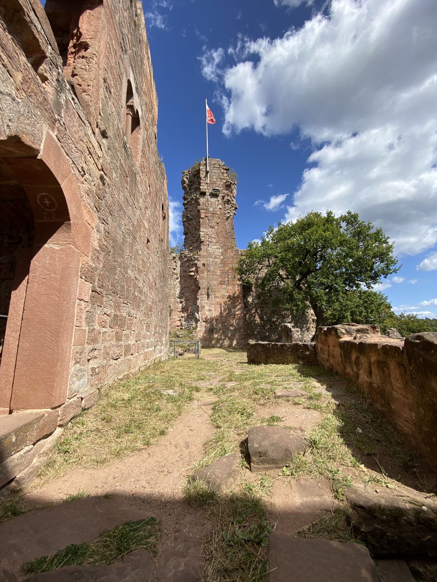
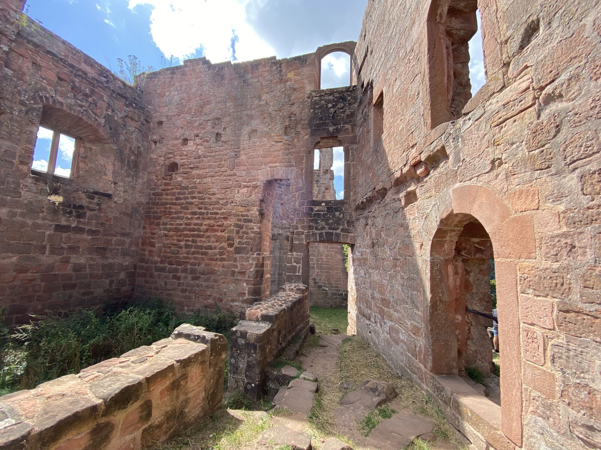
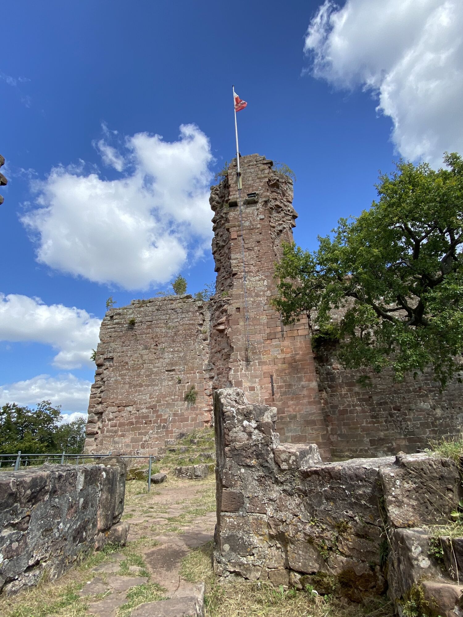
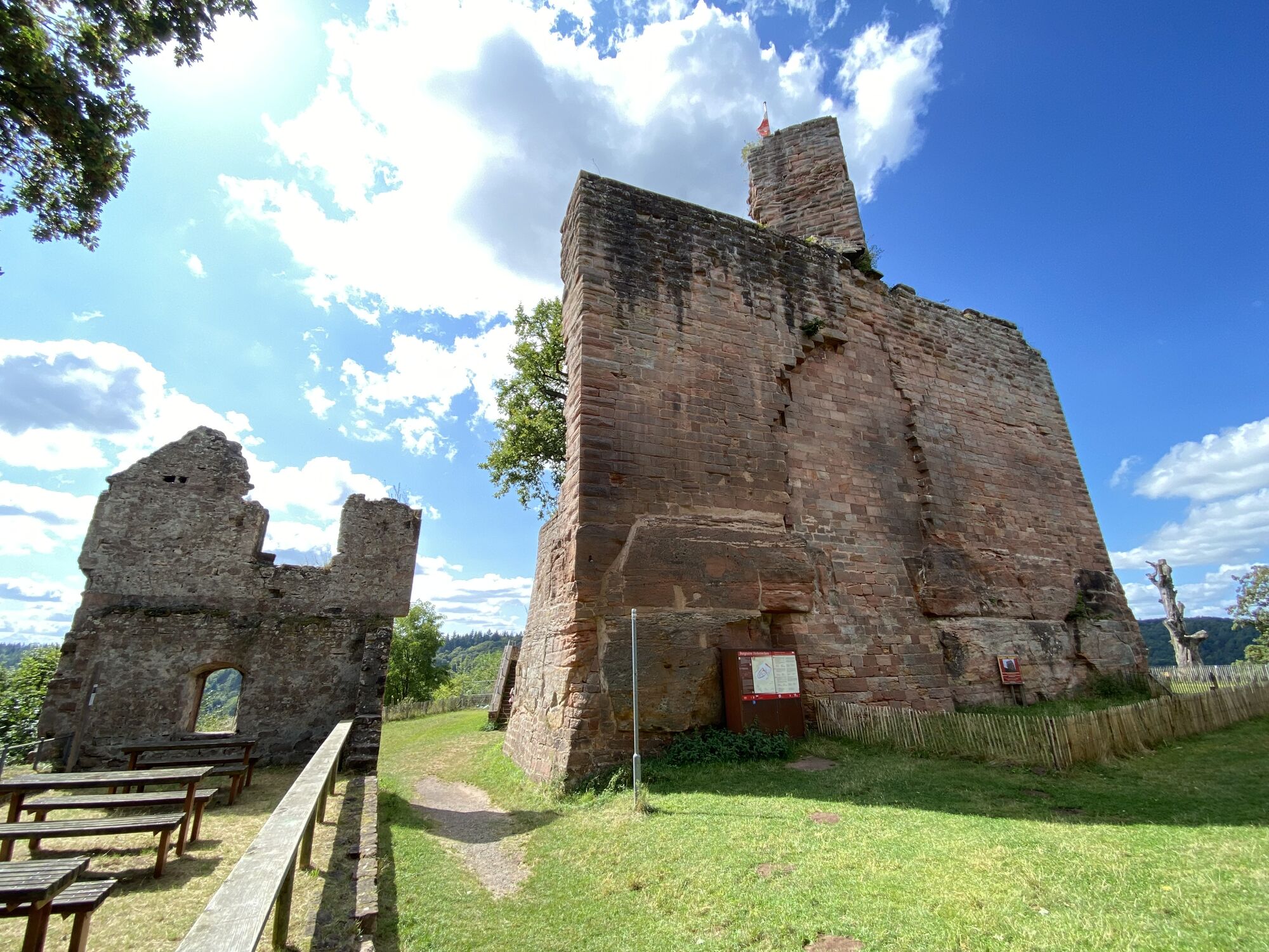
We leave Kaiserslautern via Pirmasenser Straße and continue along the railway line to Hohenecken. Shortly before the first houses, we go under the railway line and through the forest to the castle ruin and downhill to the Rochus chapel. Past the Burgherrenhalle, we leave the district toward the Gelterswoog natural outdoor pool. At Gelterswoog, we meet the northern route from Speyer to Hornbach.
Da
Suitable hiking map, sturdy footwear, weather-appropriate clothing, sun and rain protection,
as well as sufficient supplies of food and drink, as there are not always places to eat or shop available or open.
Especially in autumn, be aware that fallen leaves on the ground can hide unevenness, roots, stones, or holes in the path. You must expect such path impairments when hiking. If you find certain path sections impassable, you should avoid them. Especially under adverse weather conditions, natural paths can have muddy and slippery sections.
Via the A61 to Worms
By train to Worms main station. It is about a 10-minute walk to the cathedral.
Free parking is available on Von-Steuben-Straße behind the station. Additional free parking is available at the stadium on Alzeyer Straße.
www.pfalz.de
www.jakobusgesellschaft.eu
http://www.jakobsweg-pfalz.de/
Spletne kamere s turneje
Pridobite vpogled
Vedno v živo na mestu z več kot 9.500 spletnimi kamerami. bergfex Kot uporabnik Pro si lahko zdaj ogledate ustrezne spletne kamere za številne izlete v aplikaciji izleti iz. Tako si lahko neposredno ogledate trenutne razmere.
Priljubljeni izleti v okolici
-
4.0
Ganerbenweg - Premium circular hiking route in the Freinsheim holiday region
srednjaPohodništvo 10.5 km -
5.0
Circular route through forest and vineyard: Weisenheim am Berg - "Wine, Forest, Ungeheuer"
srednjaPohodništvo 12.5 km -
5.0
Leininger Castle Trail - Premium hiking trail with audio and video stations
težkoPohodništvo 22.3 km -
3.5
Leininger Monastery Trail - Premium hiking trail with audio and video stations
srednjaPohodništvo 15.3 km -
4.3
Zwei-Burgen Tour Battenberg
srednjaPohodništvo 5.43 km -
5.0
Palatinate Wine Trail Stage 01 Bockenheim - Neuleiningen
srednjaPohodništvo v daljavo 16.9 km -
5.0
Palatinate Wine Trail Stage 02 Neuleiningen - Bad Dürkheim
srednjaPohodništvo v daljavo 17.6 km -
Wine hike: Kallstadt - Rieslingweg
svetlobaPohodništvo 6.57 km -
Hinkelsteinweg - complete route
srednjaPohodništvo 41.7 km -
4.0
Wine hike: Weisenheim am Berg - Herxheim am Berg - Dackenheim
svetlobaPohodništvo 7.95 km
Pohodništvo in sledenje


Ne zamudite ponudb in navdiha za naslednje počitnice
Vaš e-poštni naslov je bil dodan na poštni seznam.





