







Wine hike: Weisenheim am Berg - Herxheim am Berg - Dackenheim
The hike leads mostly along paved paths through the vineyards. On the section from the Felsenberg nature reserve via the Herxheim castle garden to Dackenheim, you are offered brilliant views of the Rhine...
The hike leads mostly along paved paths through the vineyards. On the section from the Felsenberg nature reserve via the Herxheim castle garden to Dackenheim, you are offered brilliant views of the Rhine plain. On the way back, the path continues on level ground to Weisenheim/Bg. The tour is not separately signposted, but you can easily orientate yourself by the route description.

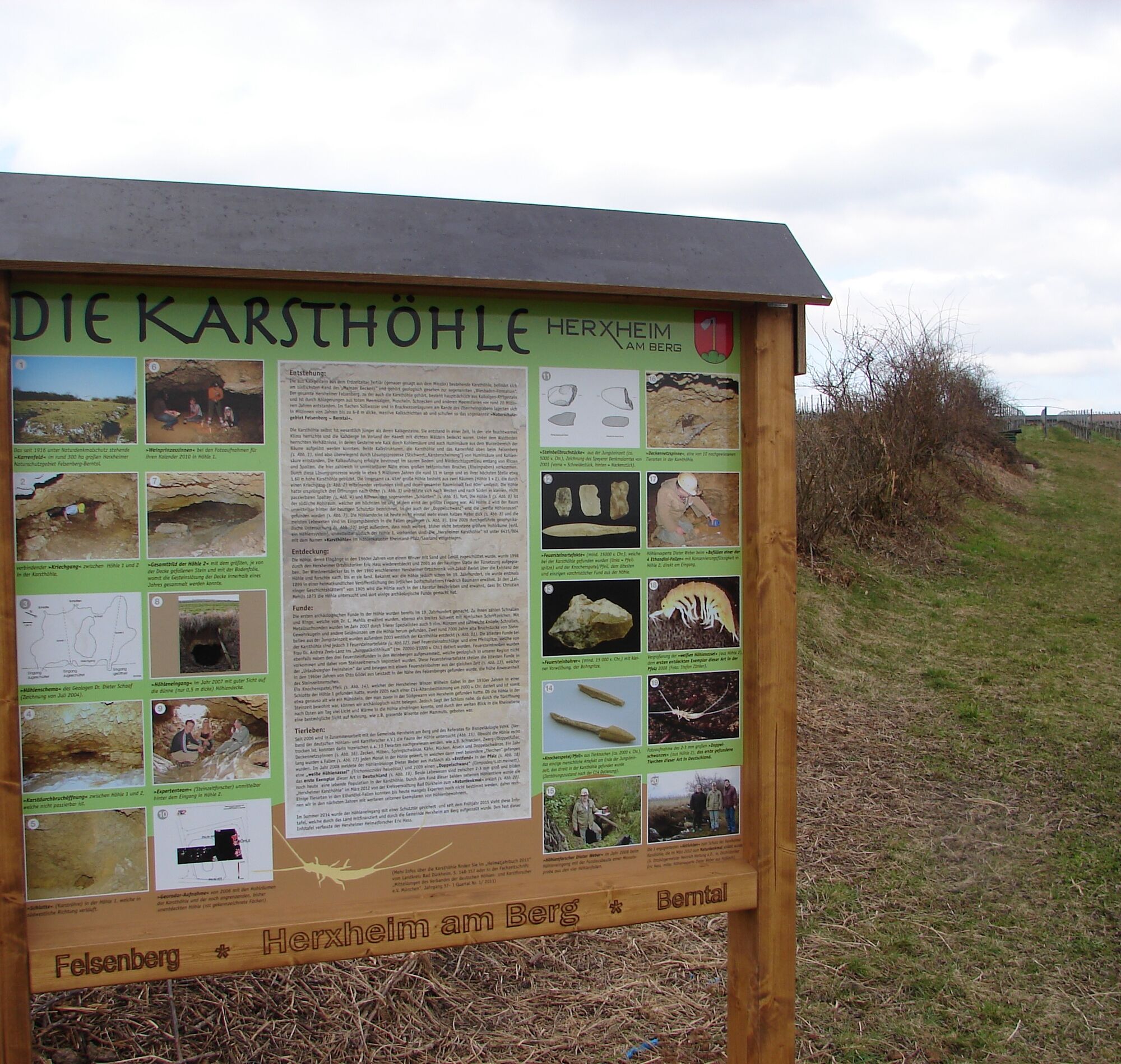
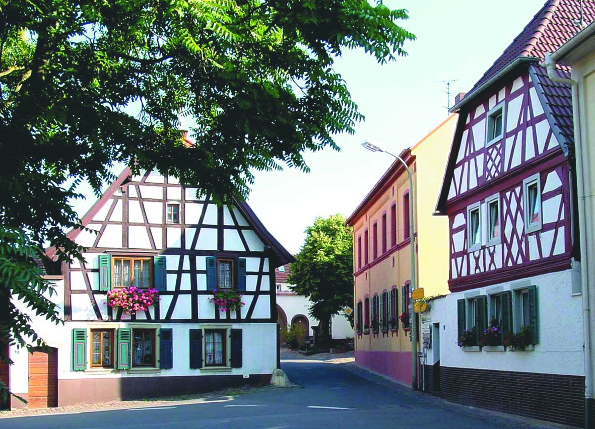
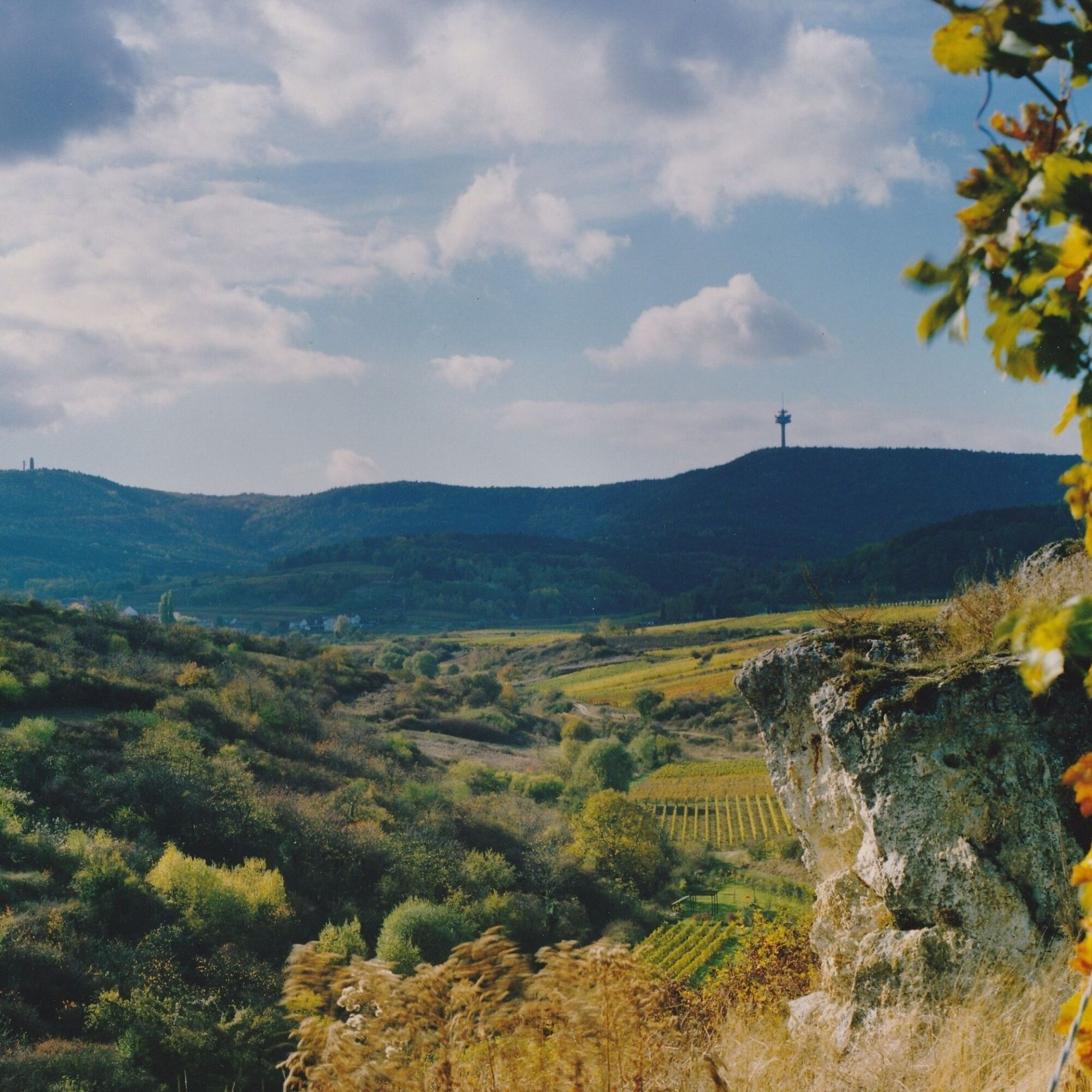
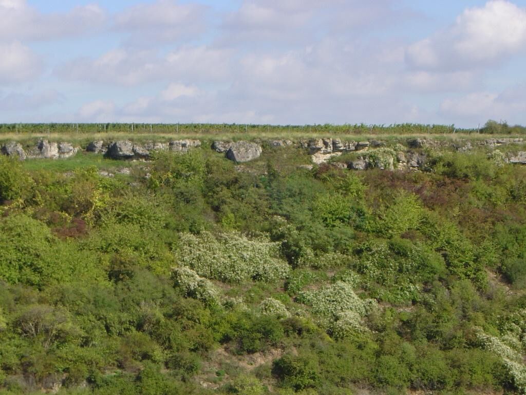
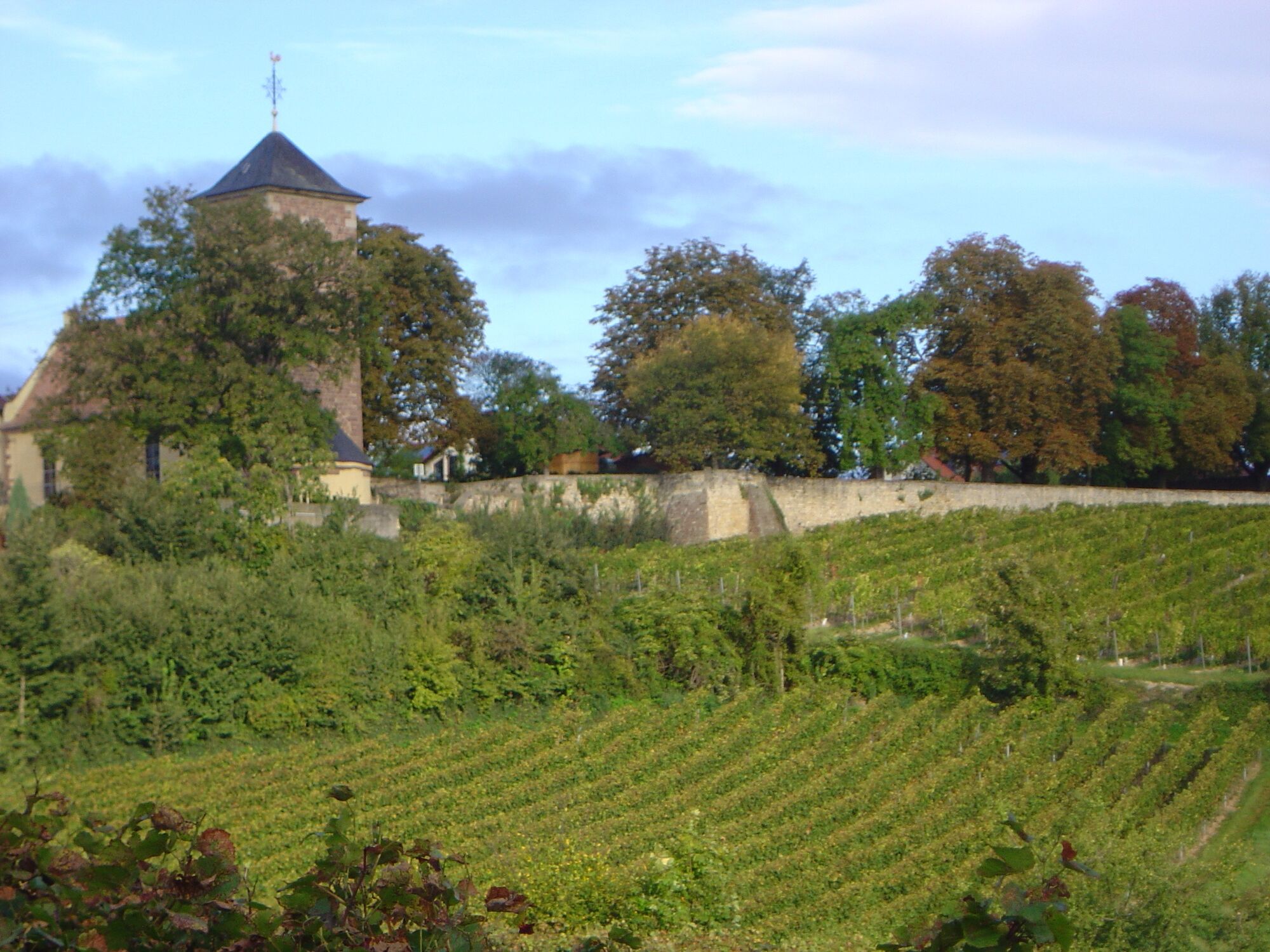
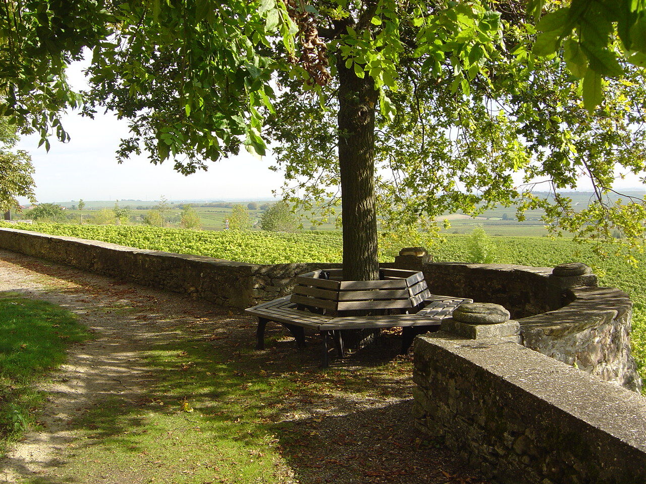
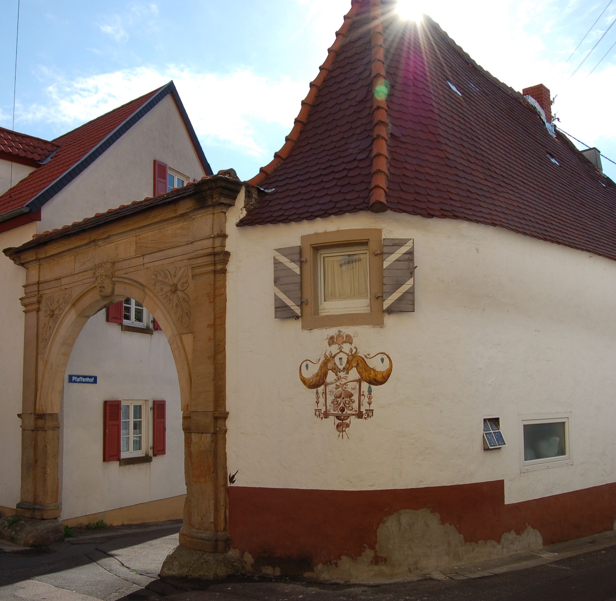
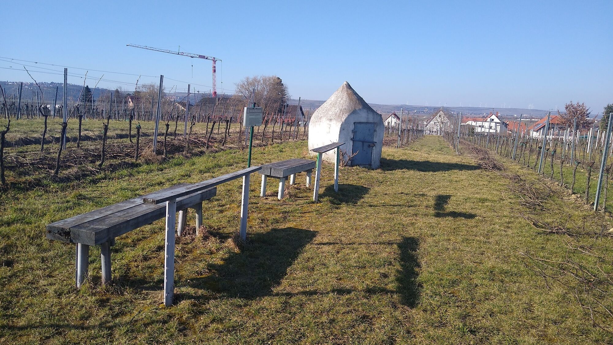
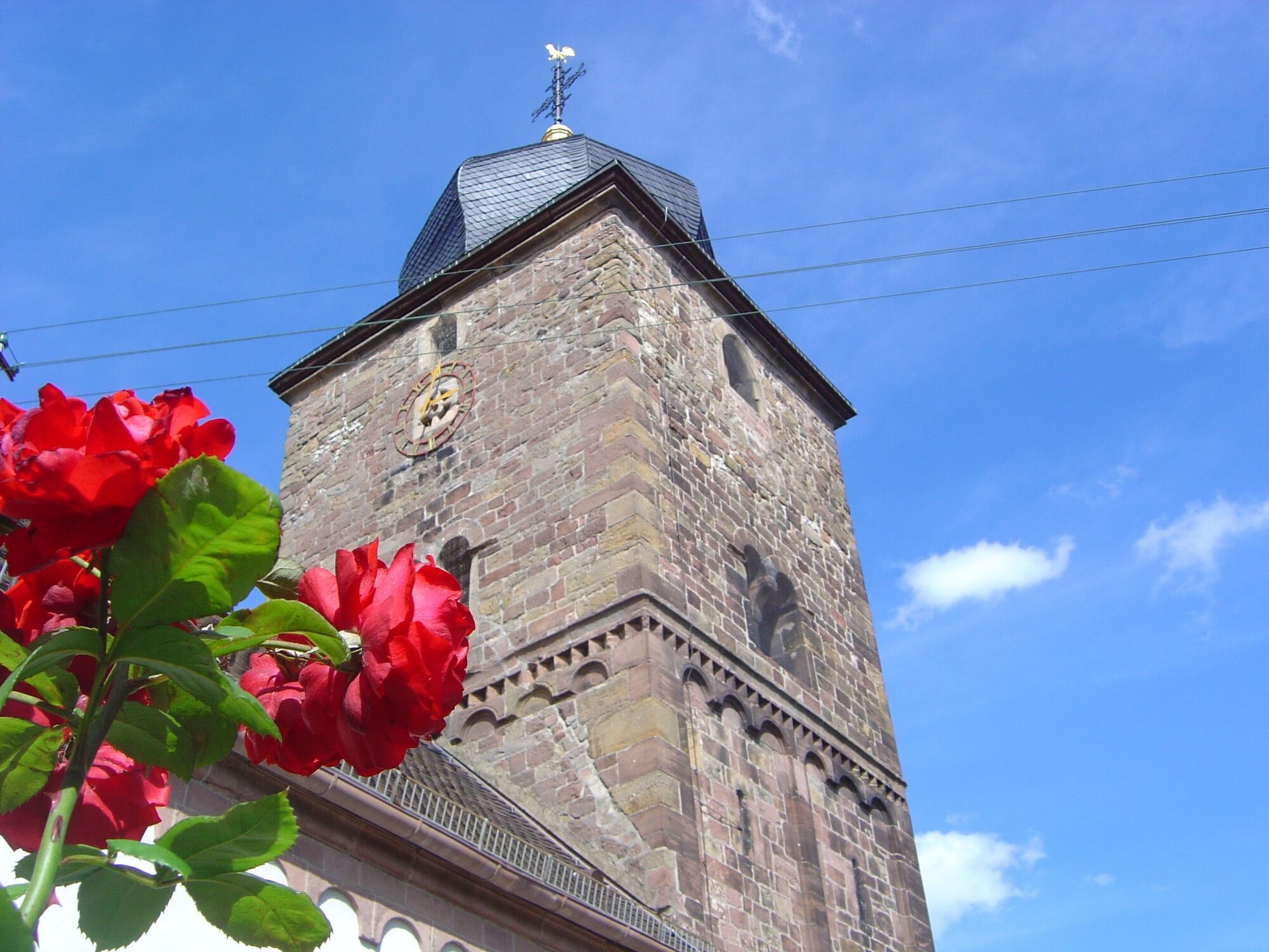

The hike begins at the village square in Weisenheim am Berg. From here, walk in a southerly direction through Leistadter Straße to the end of the village, change sides of the road at the crossing aid and keep to the right in the car park. At the end of the car park, turn left onto the farm track and follow it for approx. 300 metres. Then turn sharp left, after another 50 metres sharp right. Then go to the next crossroads. Turn right there, after about 30 metres continue on the path (do not turn left) and follow the path. After a short climb, you will come to a crossroads. Turn right there, after about 100 metres turn left into the next unpaved path, go straight on there until you meet another unpaved path, turn left there. This path leads along above the Berntal valley near the cliff edge of the Felsenberg. About 50 metres after the Schützhütte, turn right into the hairpin bend. Now follow the asphalt path to the Herxheim winegrowers' cooperative. The path takes you past the display board of the Stone Age karst cave to the German Wine Route. Follow this past the Herxheim winegrowers' cooperative until you pass the traffic lights. After the traffic lights, turn right into Friedhofstraße and immediately right again through the Pfaffenhof gate. At the end of Pfaffenhof, turn left towards the church. In the castle garden behind the church there are benches for a stop and you have a wonderful view over the Rhine plain. At the end of the grounds, through the small iron gate, down the steps and keep right. In front of the seating area at the car park, turn left and keep going straight ahead towards the north. Shortly before Dackenheim, take a sharp left turn. (=> If you turn right, after 100 metres you will come to the Liebesbrunnenhäuschen with a rest area, you can also take a detour through Dackenheim
Please make sure you are dressed appropriately for the weather and wear good shoes.
The route often runs along so-called farm tracks. These are used for agricultural purposes and are used by tractors and harvesters all year round. We would like to point out that the use of the paths is at your own risk and ask for mutual consideration in the interest of all. The farm tracks may be soiled by agricultural traffic. After rainy days and especially in winter, the paths can be wet and slippery.
From the north:
Via the A61 motorway at the Frankenthal junction, take the A6 towards Kaiserslautern. Exit Grünstadt/Deutsche Weinstraße. Continue on B271 (Dt. Weinstraße) towards Bad Dürkheim, take exit Weisenheim am Berg from B271 (Dt. Weinstraße).
From the south:
Via the A61 motorway at the Ludwigshafen junction, take the A650 towards Bad Dürkheim. At the end of the motorway, continue on the B37. Pass the industrial area Bruch, turn right at the next traffic lights to Ungstein. At the roundabout, take the 3rd exit into the village. After approx. 50 m turn right onto B271 (Dt. Weinstraße), direction Grünstadt. At the traffic lights in Herxheim am Berg, turn left towards Weisenheim am Berg.
Bus line 453 from Bad Dürkheim or Grünstadt, bus stop Weisenheim am Berg - Gemeindehaus.
Timetable information: www.vrn.de
Parking space according to parking guidance system
For more information on tour tips, Weisenheim am Berg and the Freinsheim holiday region, please contact the Tourist Information i-Punkt Kallstadt, Tel: 06322/667838 or visit www.urlaubsregion-freinsheim.de.
After completing the hike, you can stop for a bite to eat in Weisenheim am Berg's many restaurants.

Priljubljeni izleti v okolici
- 4.0
Ganerbenweg - Premium circular hiking route in the Freinsheim holiday region
srednjaPohodništvo 10.5 km - 4.5
From Deidesheim over the Heidenlöcher to Eckkopf
srednjaPohodništvo 14.6 km Wachenheim - Eckkopf - Heidenlöcher - Wachenheim
srednjaPohodništvo 12.8 km- 4.5
Wachenheimer Valleys Route to Oppauer Haus
srednjaPohodništvo 11.7 km - 5.0
Circular route through forest and vineyard: Weisenheim am Berg - "Wine, Forest, Ungeheuer"
srednjaPohodništvo 12.5 km - 4.8
Zum Saupferch - Jägerthal - Drachenfels - Lambertskreuz
srednjaPohodništvo 10.1 km - 5.0
Leininger Castle Trail - Premium hiking trail with audio and video stations
težkoPohodništvo 22.3 km - 4.0
Thomas‘ Waldweinstube über die Wachtenburg
svetlobaPohodništvo 4.81 km - 3.5
Leininger Monastery Trail - Premium hiking trail with audio and video stations
srednjaPohodništvo 15.3 km Palatinate Wine Steig Stage 03 Bad Dürkheim - Deidesheim
srednjaPohodništvo v daljavo 15.2 km
Pohodništvo in sledenje


Ne zamudite ponudb in navdiha za naslednje počitnice
Vaš e-poštni naslov je bil dodan na poštni seznam.





