







CESANA T.SE Monte Fraiteve from San Sicario
Stopnja težavnosti: T1
The route connects San Sicario Alto (a hamlet of Cesana Torinese) to Monte Fraiteve, the highest peak located on the watershed between Sauze d’Oulx and Sestriere, at the end of the Susa and Chisone valleys,...
The route connects San Sicario Alto (a hamlet of Cesana Torinese) to Monte Fraiteve, the highest peak located on the watershed between Sauze d’Oulx and Sestriere, at the end of the Susa and Chisone valleys, easily recognizable by the presence of telecommunication antennas on the summit. The first part of the route up to Soleil Beuf is very steep, but comfort is found in its passage through the woods; the second part towards Monte Rotta, still in the forest, is pleasantly slight ascent; from here onwards to the summit, continuing to climb first in a sparse larch forest and then through alpine meadows, you walk a very panoramic itinerary, sometimes enriched in the upper part by rocky outcrops; there are also some refuges serving the ski lifts. From the summit, the view ranges 360°, overlooking the Susa and Chisone Valleys, as well as towards France with its glaciers.
Support and technical description by Barbara Demonte - Environmental hiking guide.

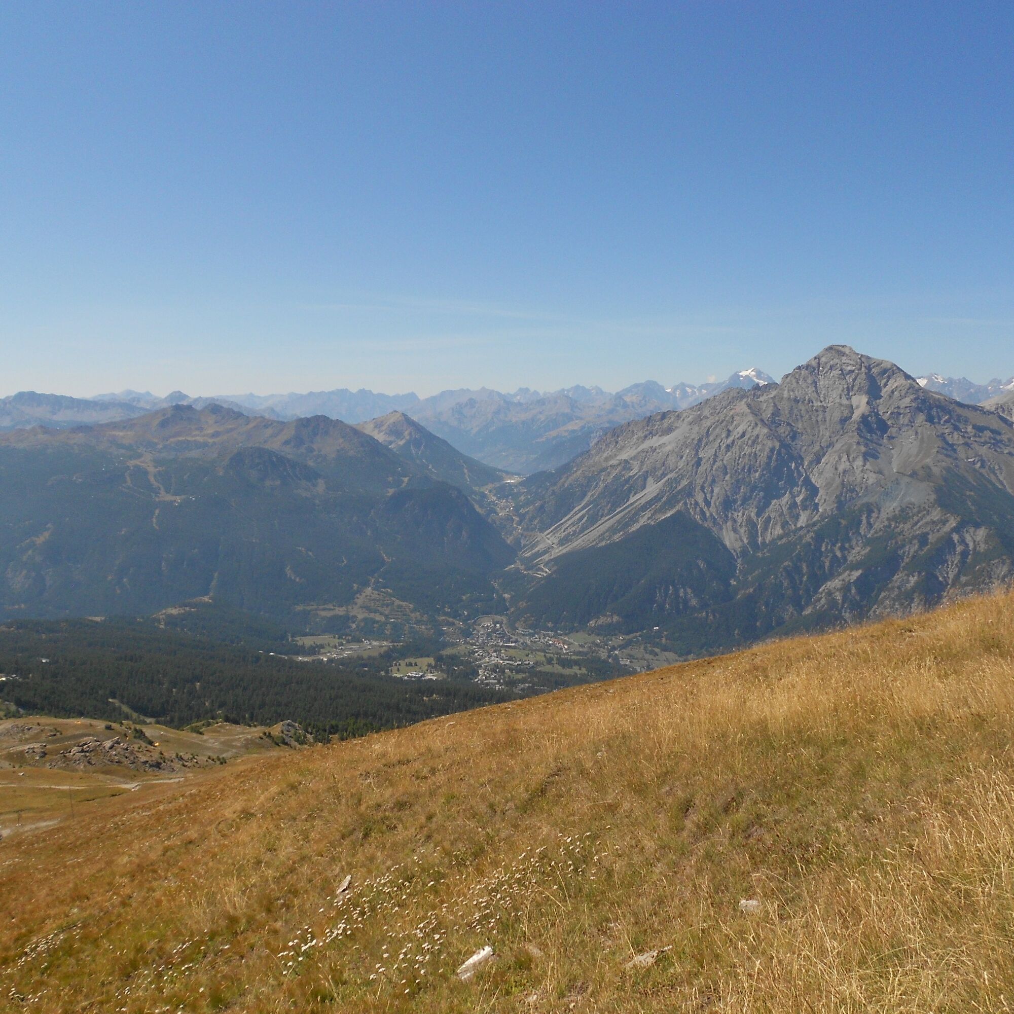
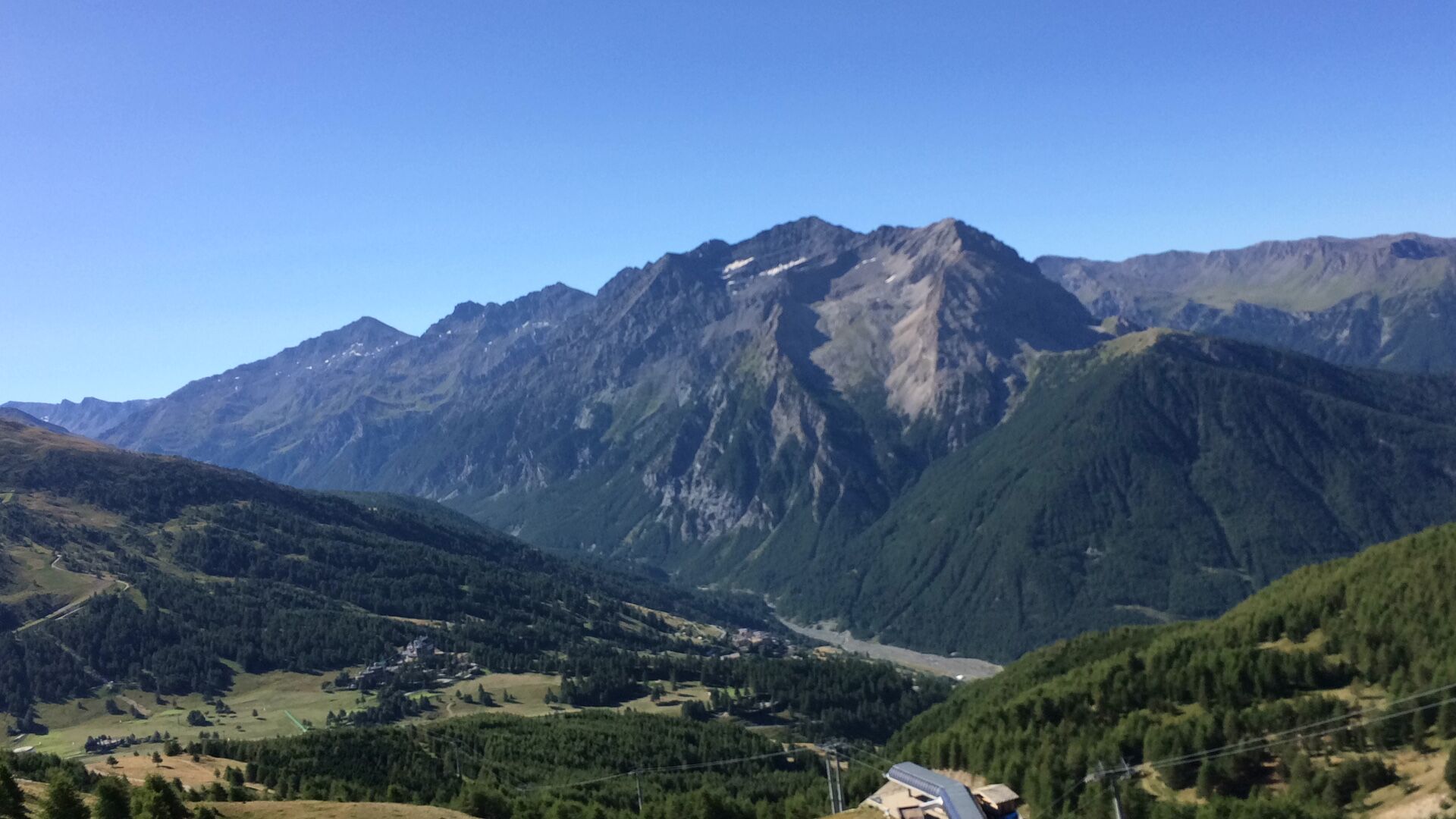
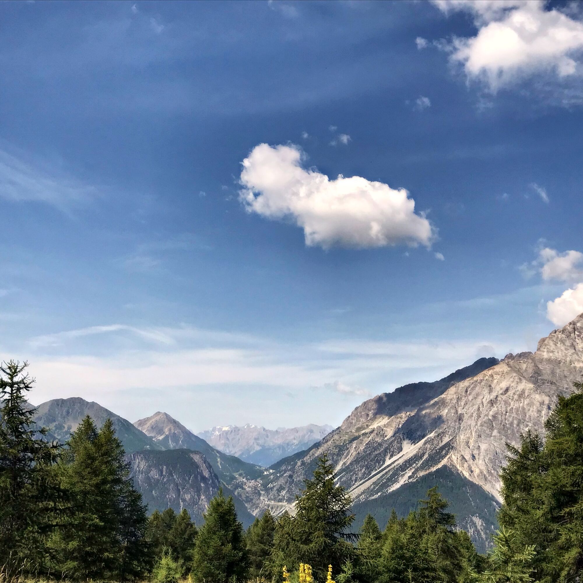
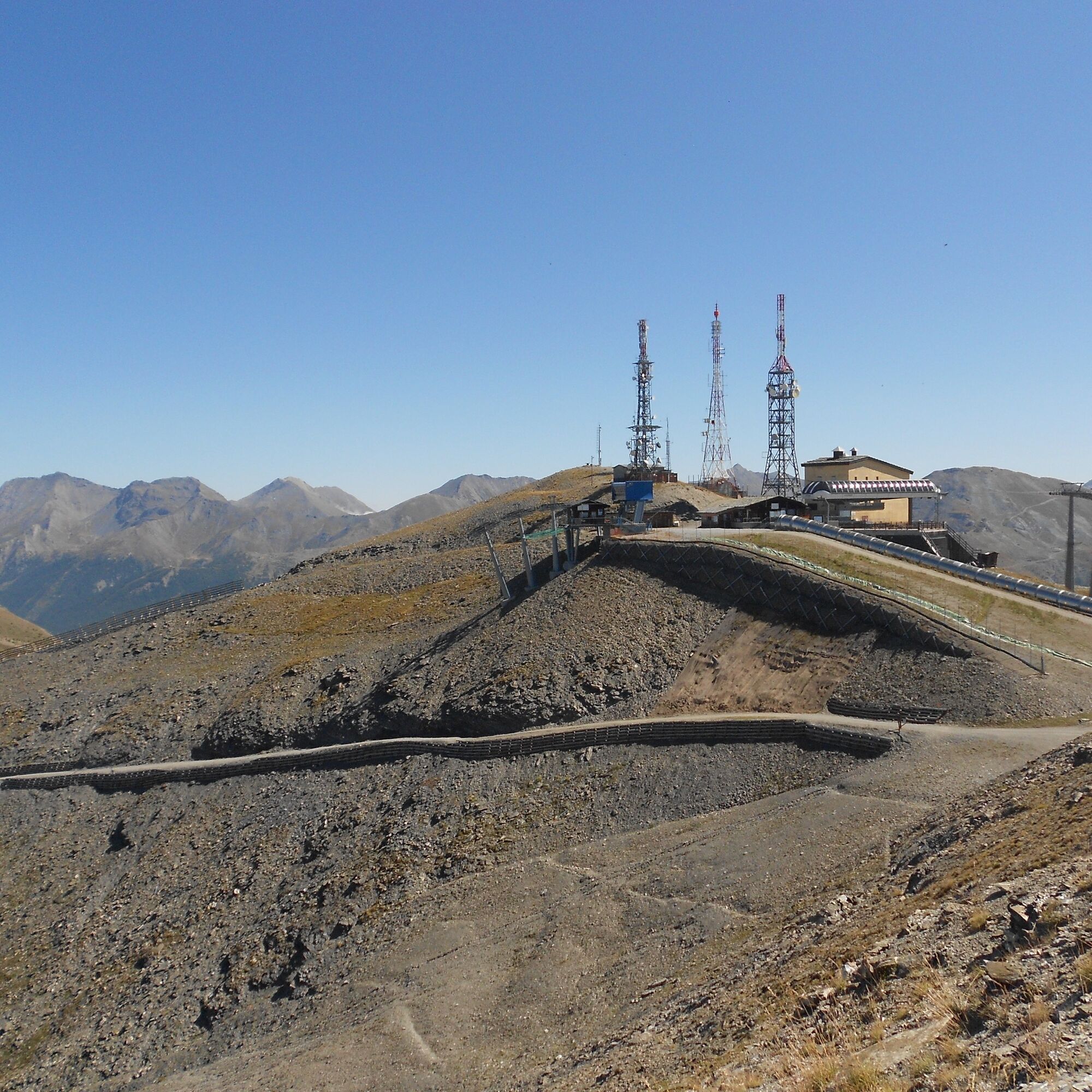
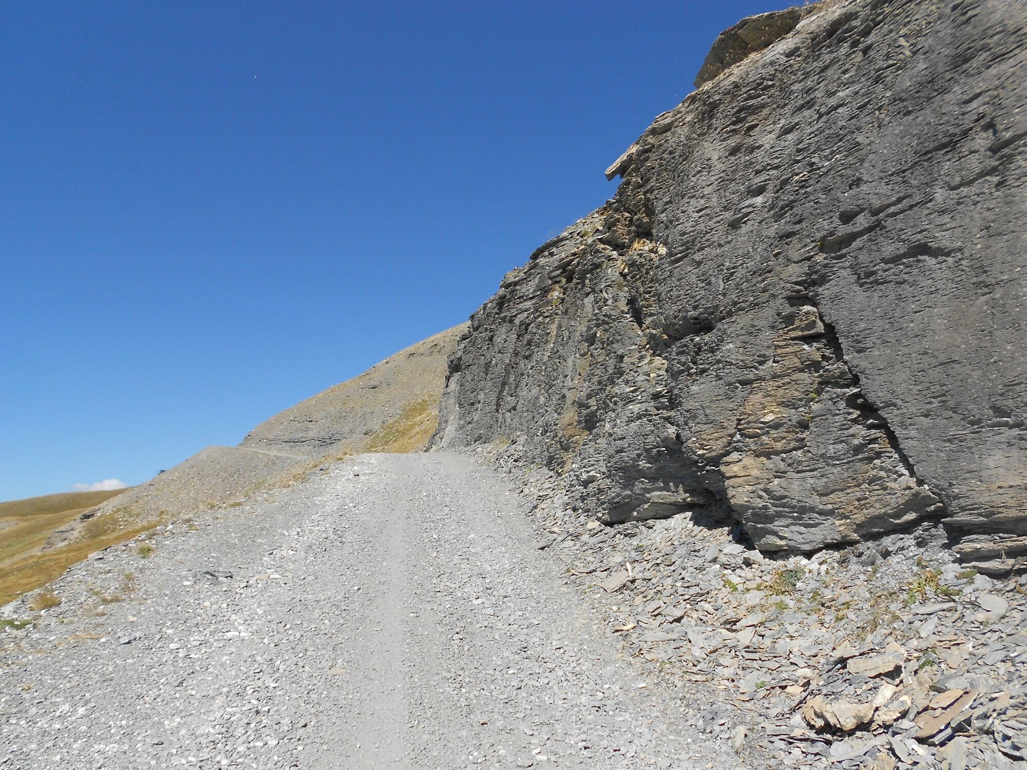

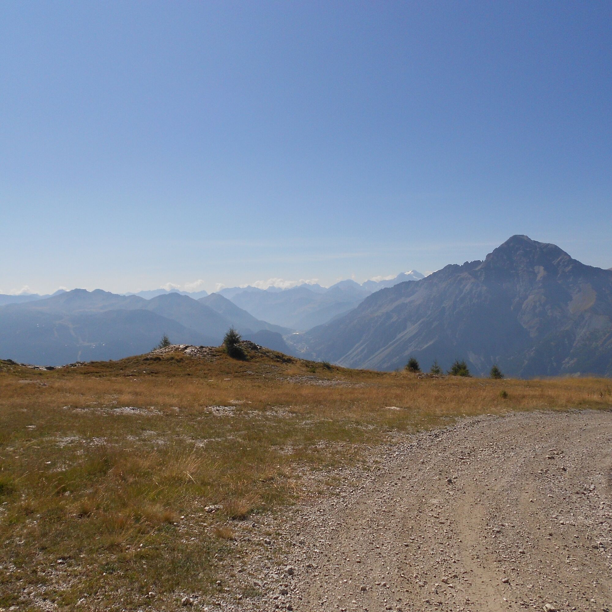
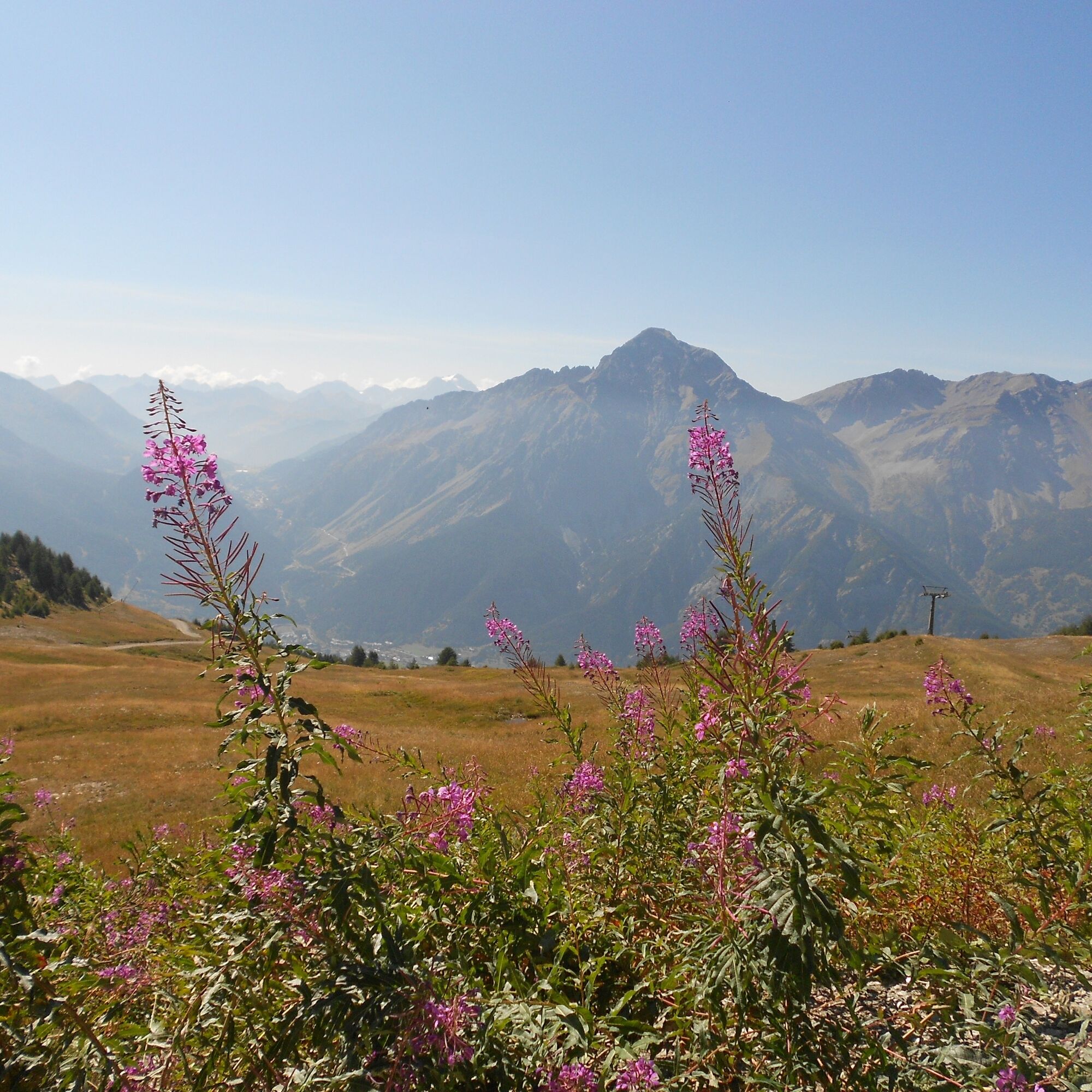
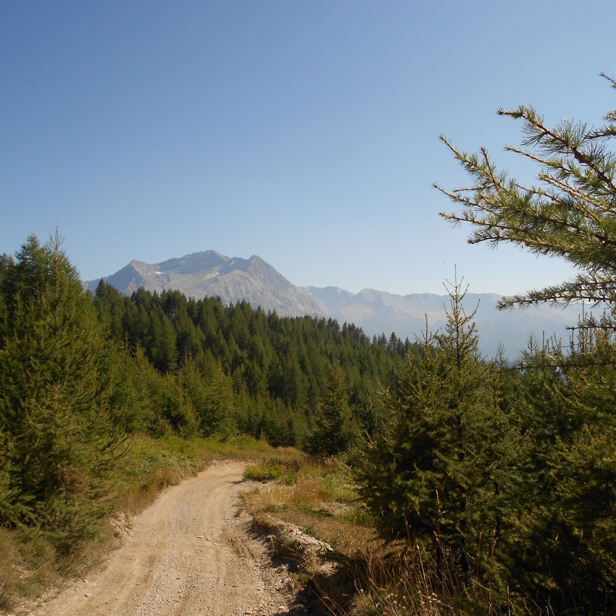

The route starts from San Sicario Alto, reachable from Cesana Torinese (6 km) by taking the provincial road towards Sestriere and turning left after a couple of kilometers; after starting the climb and passing San Sicario Borgo, you proceed to a series of numbered hairpin bends; just after the sign of the 4th hairpin, turn right to access the "La Sellette" lifts where you can leave your car in the large parking lot from which the hike begins at an altitude of 1,720 m. Passing right in front of the start of this chairlift, you take the uphill road near a stream, ignoring the junctions to the left that lead back to the village. From here begins a climb, sometimes steep and sometimes very steep, on straight stretches and a series of hairpins, all through the woods; after skirting a ski slope on the left with artificial snow cannons, and a subsequent clearing, ignore the path to the right towards Champlas Seguin and instead turn left passing in front of the "Roccia Rotonda" lifts, reaching after 2.2 km from the start and at an altitude of 2,040 m the location Soleil Beuf with its namesake restaurant. Taking the wide track that with a short climb turns slightly to the right and ignoring the road to the left (alternatively you can take the steep path of the Olympic ski slope, which emerges on the road higher up), you start to walk a diagonal on flat gradient for about 1.3 km through the woods, until a plateau on the right at an altitude of 2,110 m, where there is a characteristic frame and a picnic table; here the view is beautiful with the Chaberton in the foreground. Ignoring the descending track, take the road from the left coming from Monte Rotta which is followed for about 150 meters then abandon it at about 2,140 m turning left towards Roccia Rotonda and Col Basset; the road from Soleil Beuf up to this point was "hybrid" (one side asphalted and one dirt), now it becomes a dirt road again. At about 2,200 m you meet the "Sentiero Bordin" coming from the right and continuing on the road still bordered by larches, at 2,250 m a trail begins on the left allowing you to reach for a possible refreshment the Baita Mavie refuge, with its characteristic beam and slab roof structure, located in an extremely panoramic position, while continuing from there you soon reach the arrival of the "La Sellette" chairlift always on the left. After a hairpin turn to the right, passing at the foot of Roccia Rotonda where the larches are now sparse, and from which the Fraiteve antennas are already visible, you pass under the Roccia Rotonda lift which ends slightly above the road, and you reach at about 2,420 m and after 5.8 km from the start, Rifugio Martin on the left hilltop, from where the ski lift starts towards Monte Fraiteve. Here the road turns sharply to the right, passing over a tiny pond, then again to the left, then passing under a footbridge at about 2,550 m, above which stands the Pourcel Chapel, reachable by taking a short detour to the right on the road. From here begins a long almost straight stretch always climbing, at the beginning of which the antennas are visible again (also the remains of a shelter just below), and very close: it would be enough to cut across a path through the meadow to reach them; however, it is recommended to proceed along the road which, besides being very panoramic, is also interesting, being at times carved out close to the slope consisting of markedly stratified and very dark rocks in the final part. At the end of this diagonal, near a saddle at about 2,630 m overlooking the Vallone di Rio Nero, another one immediately begins to the right which traverses contour lines on a flat gradient reaching the base of Monte Fraiteve, and with a final climb amid the lifts that ascend both sides, you reach the summit at 2,702 m. You enjoy a 360° view: the Upper Val Chisone with its secondary valleys Argentera and Thuras, the Monginevro and the French glaciers, the Susa Valley.
Da
Da
Wear clothing and footwear suitable for the environment and the season.
By car from Turin follow the signs for the North Ring Road towards Trafori - Frejus. Take the A32 highway towards Bardonecchia and exit at Oulx - Monginevro - Sestriere.
Continue on S.S 24 towards Cesana Torinese and then on S.P 23 towards Sestriere.
After 2 km turn left at the San Sicario sign. Pass the first village of San Sicario Borgo and after about 3 km park in the direction of the Ski-Lodge Cable Car lift
Parking available near the Ski-Lodge Cable Car lift
T1
- Before undertaking any hike it is advisable to check weather bulletins or ask for information at local Tourist Offices.
- It is good practice not to hike alone, always inform someone of your destination.
- Do not litter but carry your waste with you, collecting possibly that left by others.
- The reported walking times are indicative and may vary based on weather conditions and individual capabilities.
No water points
Soleil Boeuf refreshment point open in summer, check opening and availability before starting the hike
Pridobite vpogled
Vedno v živo na mestu z več kot 9.500 spletnimi kamerami. bergfex Kot uporabnik Pro si lahko zdaj ogledate ustrezne spletne kamere za številne izlete v aplikaciji izleti iz. Tako si lahko neposredno ogledate trenutne razmere.
Priljubljeni izleti v okolici
-
5.0
BARDONECCHIA Forte Jafferau Loop
težkoMountainbike 36.8 km -
4.7
BARDONECCHIA Col des Acles - Passo della Mulattiera
srednjaPohodništvo 6.23 km -
BARDONECCHIA - Loop Colle della Scala - Col de Montgenèvre - Colle del Sestriere
težkoCestno kolo 91.9 km -
5.0
SESTRIERE Monte Rognosa
težkoPohodništvo 6.42 km -
CESANA T.SE Lago Nero - Seven Colors Lake
srednjaPohodništvo 3.51 km -
SAUZE D'OULX Richardette - Montagne Seu )
srednjaMountainbike 19.9 km -
5.0
OULX Montagne Seu
svetlobaPohodništvo 5.28 km -
OULX Borgata Seu (Gran Bosco Natural Park)
svetlobaSnežni čevlji 5.93 km -
5.0
CESANA T.SE Cesana - Fenils
svetlobaPohodništvo 4.60 km -
5.0
SAUZE D'OULX Gad (trail no. 9)
svetlobaPohodništvo 2.82 km
Pohodništvo in sledenje


Ne zamudite ponudb in navdiha za naslednje počitnice
Vaš e-poštni naslov je bil dodan na poštni seznam.





