


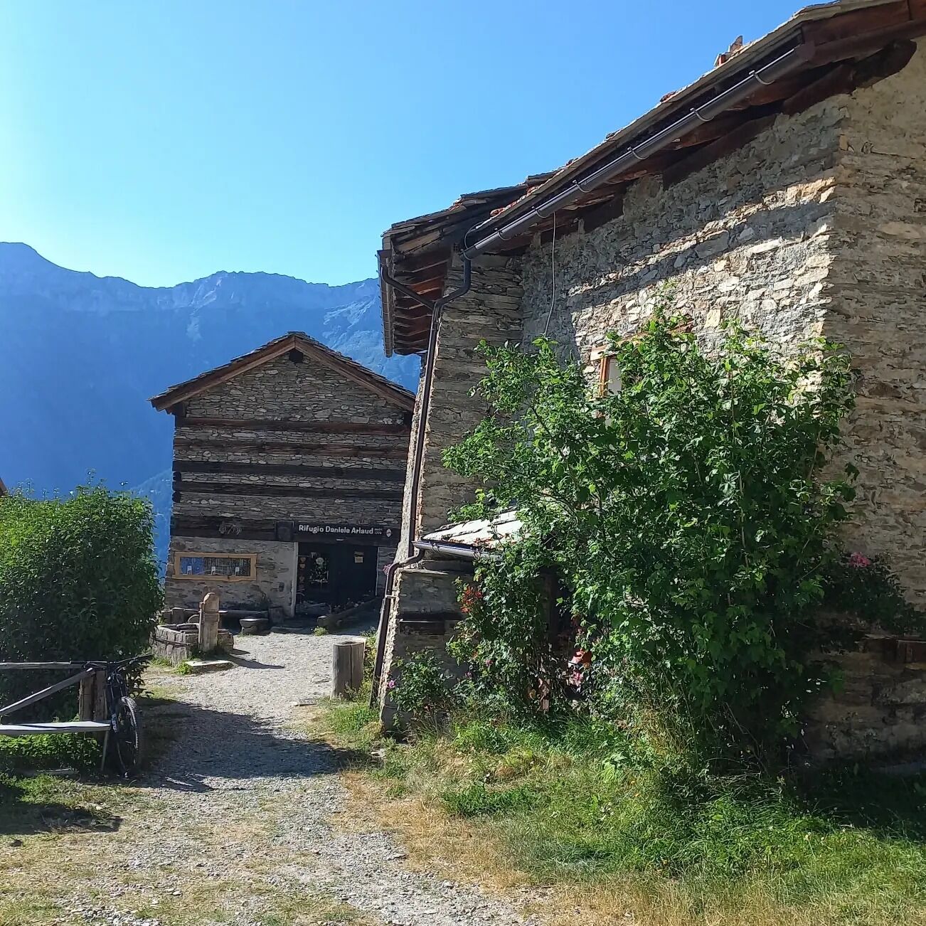
SAUZE D'OULX Richardette - Montagne Seu )
Stopnja težavnosti: S2
The combination of short climbs, flat stretches and descents makes this route particularly enjoyable, and the possibility of returning to Monfol makes it suitable for even the most inexperienced cyclists.
The...
The first part of the route, as far as Richardette, is on asphalt with some fairly challenging climbs, while the dirt road section, which starts in the Case Lampuié area, immediately offers medium gradients alternating with short climbs, and then continues on a false level until a fork in the road.
Our itinerary is to take the downhill road on the left, which leads first to the junction for Montagne Seu and then to Monfol, from where the asphalted road to Sauze d'Oulx begins again.
At the fork in the road, take the uphill road on the right to take the Via dei Saraceni or the Testa dell'Assietta.
Support and technical description by Guido Ambrosiani - MTB Guide.


On the way back, having reached the road that climbs from Monfol, turn right downhill and follow, first the dirt road and then the asphalted road that leads to Gran Villar - Sauze d'Oulx.
Da
Da
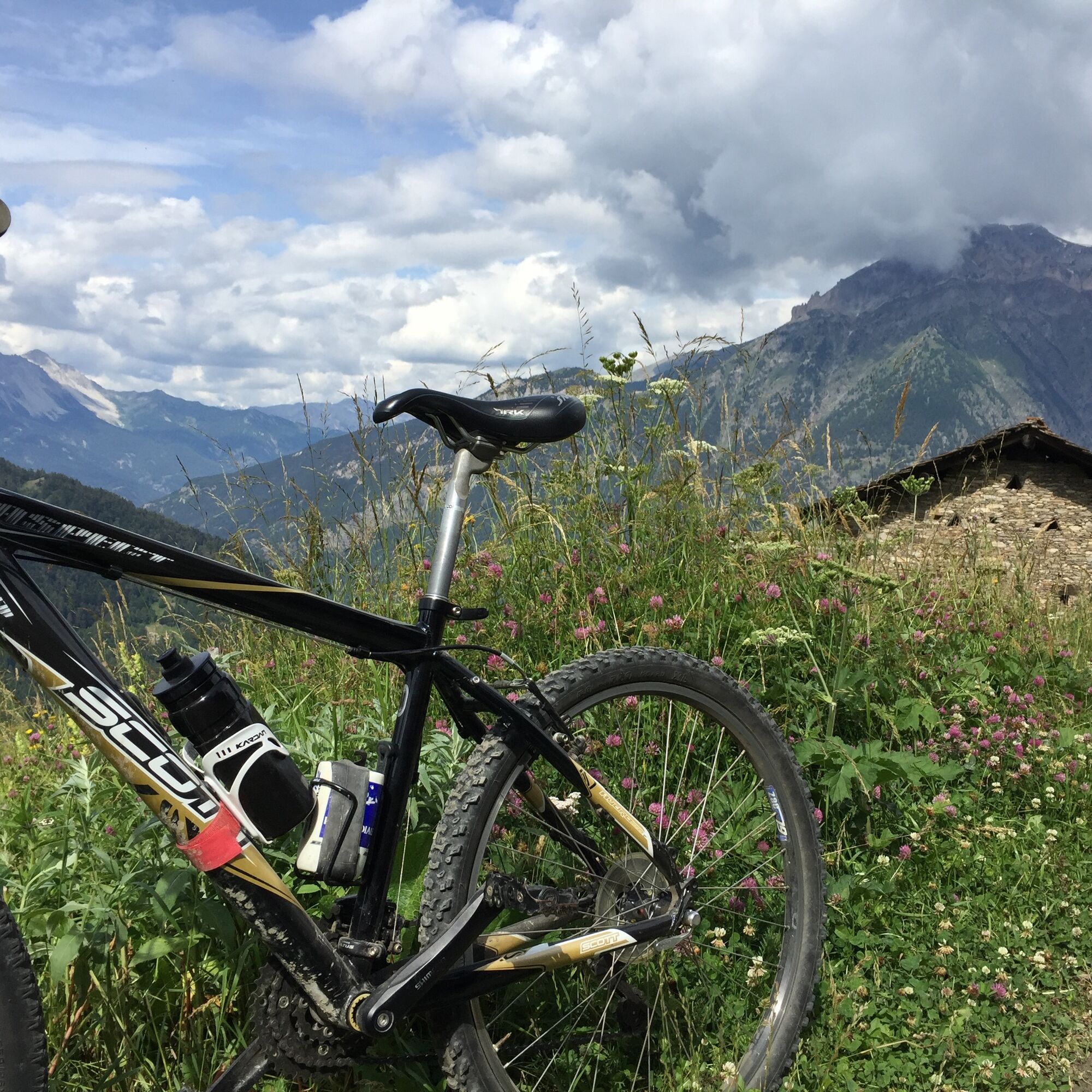
Trail suitable for mountain bikes and e-bikes
This road is also popular with hikers - regulate your speed and pay attention.
By car from France: From the UK take the A 43 through the Frejus Tunnel (toll) then A32 motorway as far as Oulx.
By train: the mainline railway which connects Paris to Milan by TGV has a station in Oulx. Public transport and taxis services operate from Oulx station to Sauze d’Oulx. See also: www.snowcarbon.co.uk.
Genevris car park
S2
Just before arriving at the hamlet of Seu, it is possible to turn right for the Le Selle alpine pasture. This climb, however, is rather demanding.
Just before arriving at the houses of Seu, it is possible to turn right for the Le Selle alpine pasture. This climb, however, is quite challenging.
Spletne kamere s turneje


Priljubljeni izleti v okolici
-
5.0
BARDONECCHIA Colle Sommeiller
srednjaMountainbike 25.4 km -
5.0
BARDONECCHIA Forte Jafferau Loop
težkoMountainbike 36.8 km -
5.0
BARDONECCHIA Decauville
srednjaPohodništvo 7.29 km -
5.0
SESTRIERE Monte Rognosa
težkoPohodništvo 6.42 km -
BARDONECCHIA Monte Jafferau
težkoPohodništvo 11.6 km -
BARDONECCHIA - Loop Colle della Scala - Col de Montgenèvre - Colle del Sestriere
težkoCestno kolo 91.9 km -
5.0
CESANA T.SE Cesana - Fenils
svetlobaPohodništvo 4.60 km -
5.0
CESANA T.SE Thures - Cima Bosco
težkoSnežni čevlji 3.94 km -
4.0
BARDONECCHIA Sentiero dei Cosetti by Luciano Ferraris
svetlobaPohodništvo 3.24 km -
5.0
BARDONECCHIA Decauville
svetlobaSnežni čevlji 4.11 km

Pohodništvo in sledenje


Ne zamudite ponudb in navdiha za naslednje počitnice
Vaš e-poštni naslov je bil dodan na poštni seznam.