







OULX Montagne Seu
Stopnja težavnosti: T1
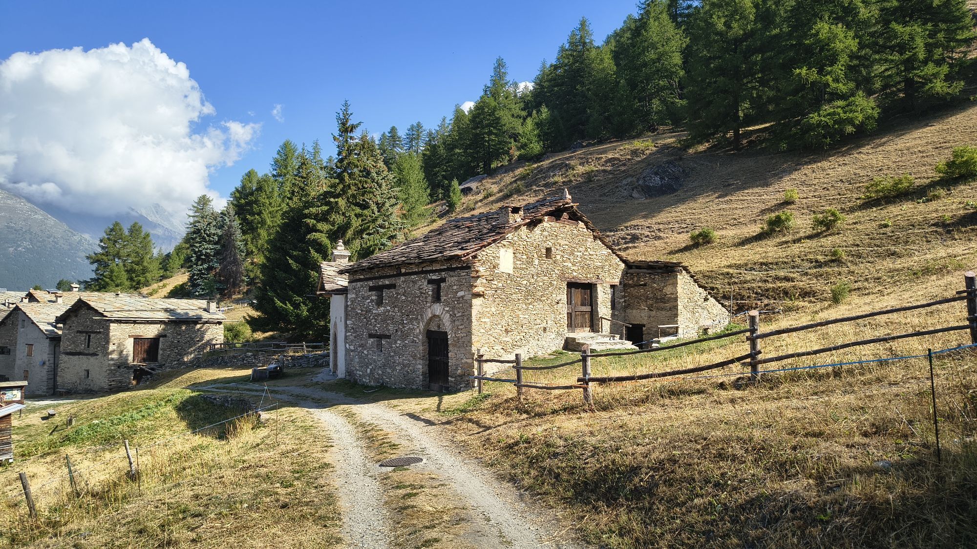
The road from Ser Blanc to Motagne Seu is definitely one of the best known and frequented in the Gran Bosco Natural Park: 700 hectares of mixed forest, mainly of silver fir and Norway spruce, an ideal...
The road from Ser Blanc to Motagne Seu is definitely one of the best known and frequented in the Gran Bosco Natural Park: 700 hectares of mixed forest, mainly of silver fir and Norway spruce, an ideal habitat for many animal species.
The walk takes place along a dirt carriageable road closed to motor vehicle traffic (except authorized vehicles) and is mainly flat except for short sections in the initial part. The route runs at 1800 m altitude and is an easy hike at any time of the year.
It is also possible to reach the fork for Seu using trail no. 6, a bit more demanding, which from Monfol passes near the white cross "Croce Ghiotti" that overlooks the settlement.
The trail is part of the trail network and forest roads of the Gran Bosco Natural Park of Salbertrand.
Technical support and description by Barbara Demonte - Environmental hiking guide.

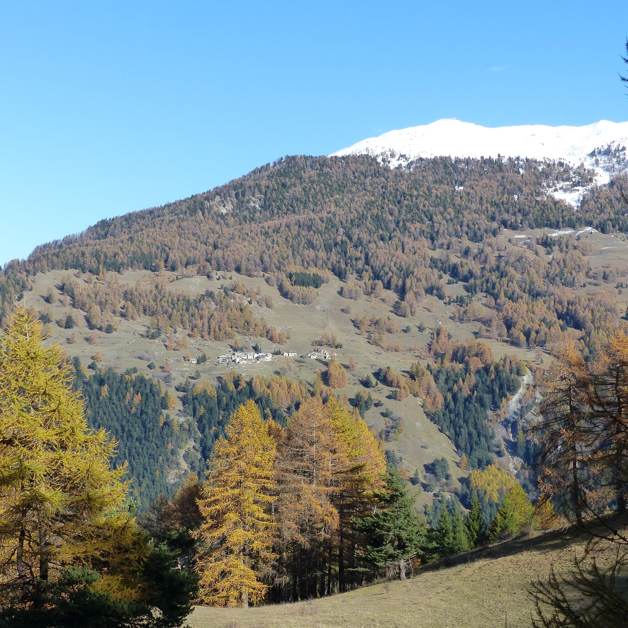
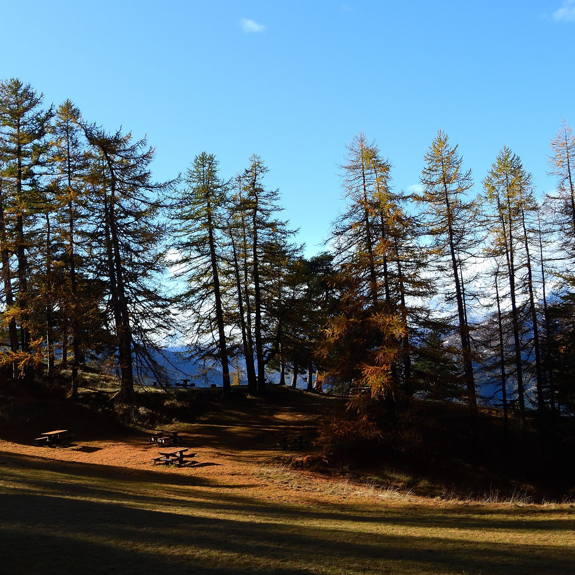

Starting from the center of Sauze d'Oulx, take Via Monfol towards Gran Villard. Continue along the paved road that leads to the settlement of Monfol where the dirt road starts to the equipped area Ser Blanc (paid parking during the summer season). After passing the barrier, which marks the entrance to the Gran Bosco Natural Park of Salbertrand, continue to the right on a first flat section of road. Ignore the fork on the left that leads to the Randuin Alpine pasture and continue to the right. After some short more demanding sections, you reach another fork. Here you turn left and follow a fairly straight and semi-flat forest road until you reach the descent that leads to Borgata Seu and Rifugio D. Arlaud.
Da
Da
Wear clothing and footwear suitable for the environment and season.
From Torino follow the signs for the Northern Bypass towards Trafori - Frejus.
Take the A32 motorway towards Bardonecchia and exit the motorway at the Oulx Ring Road sign, towards Monginevro - Sestriere.
At the tunnel exit continue to the left in the direction of Sauze d'Oulx.
Train from Torino P.N to Bardonecchia (stops at Oulx-Cesana-Claviere-Sestriere)
Arriva bus line 285 from Oulx to Sauze d'Oulx
Ser Blanc parking (paid in the summer season)
T1
Before undertaking any hike it is recommended to check weather bulletins or ask information at local Tourist Offices. It is good practice not to hike alone and always inform someone of your destination.
Do not throw waste into the environment but carry it down, collecting any left by others.
The indicated travel times are approximate and may vary according to weather conditions and personal abilities.
This route is part of the trail network easily accessible from Sentiero Italia.
Refreshment point at Rifugio Arlaud in Borgata Seu (check opening times).
Fountains in Borgata Seu.


Priljubljeni izleti v okolici
-
5.0
BARDONECCHIA Colle Sommeiller
srednjaMountainbike 25.4 km -
5.0
BARDONECCHIA Forte Jafferau Loop
težkoMountainbike 36.8 km -
5.0
BARDONECCHIA Decauville
srednjaPohodništvo 7.29 km -
BARDONECCHIA - Loop Colle della Scala - Col de Montgenèvre - Colle del Sestriere
težkoCestno kolo 91.9 km -
5.0
SESTRIERE Monte Rognosa
težkoPohodništvo 6.42 km -
3.5
BARDONECCHIA Sentiero dei Cosetti by Luciano Ferraris
svetlobaPohodništvo 3.24 km -
BARDONECCHIA Monte Jafferau
težkoPohodništvo 11.6 km -
SAUZE D'OULX Richardette - Montagne Seu )
srednjaMountainbike 19.9 km -
BARDONECCHIA Rochemolles Dam - Scarfiotti Refuge
srednjaPohodništvo 7.77 km -
5.0
CESANA T.SE Cesana - Fenils
svetlobaPohodništvo 4.60 km
Pohodništvo in sledenje


Ne zamudite ponudb in navdiha za naslednje počitnice
Vaš e-poštni naslov je bil dodan na poštni seznam.





