


RUEGLIO Cima Bossola from the Cima Bossola refuge
Fotografije naših uporabnikov

 © Claudio DaineseUstvarjeno na 27.04.2026
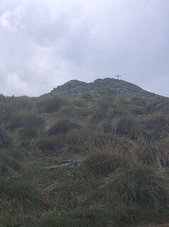 © Claudio DaineseUstvarjeno na 27.04.2026
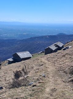 © Claudio DaineseUstvarjeno na 03.04.2026
 © Claudio DaineseUstvarjeno na 28.11.2025
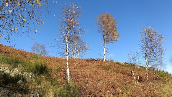
 © Maurizio Dell'acquaUstvarjeno na 05.11.2025
 © Maurizio Dell'acquaUstvarjeno na 05.11.2025
 © Maurizio Dell'acquaUstvarjeno na 05.11.2025
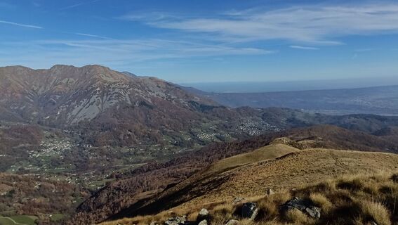 © Maurizio Dell'acquaUstvarjeno na 05.11.2025
 © Maurizio Dell'acquaUstvarjeno na 05.11.2025
 © Maurizio Dell'acquaUstvarjeno na 05.11.2025
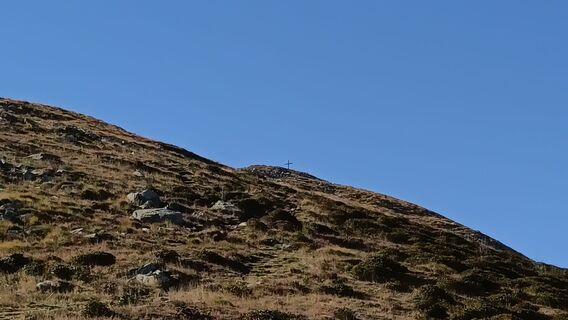 © Maurizio Dell'acquaUstvarjeno na 05.11.2025
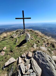 © Claudio DaineseUstvarjeno na 29.09.2025
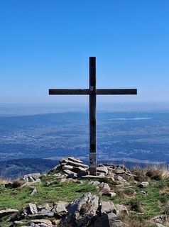 © Claudio DaineseUstvarjeno na 29.09.2025
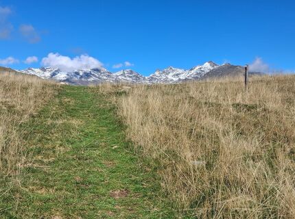 © Claudio DaineseUstvarjeno na 29.09.2025
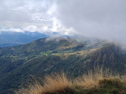 © Claudio DaineseUstvarjeno na 25.09.2025
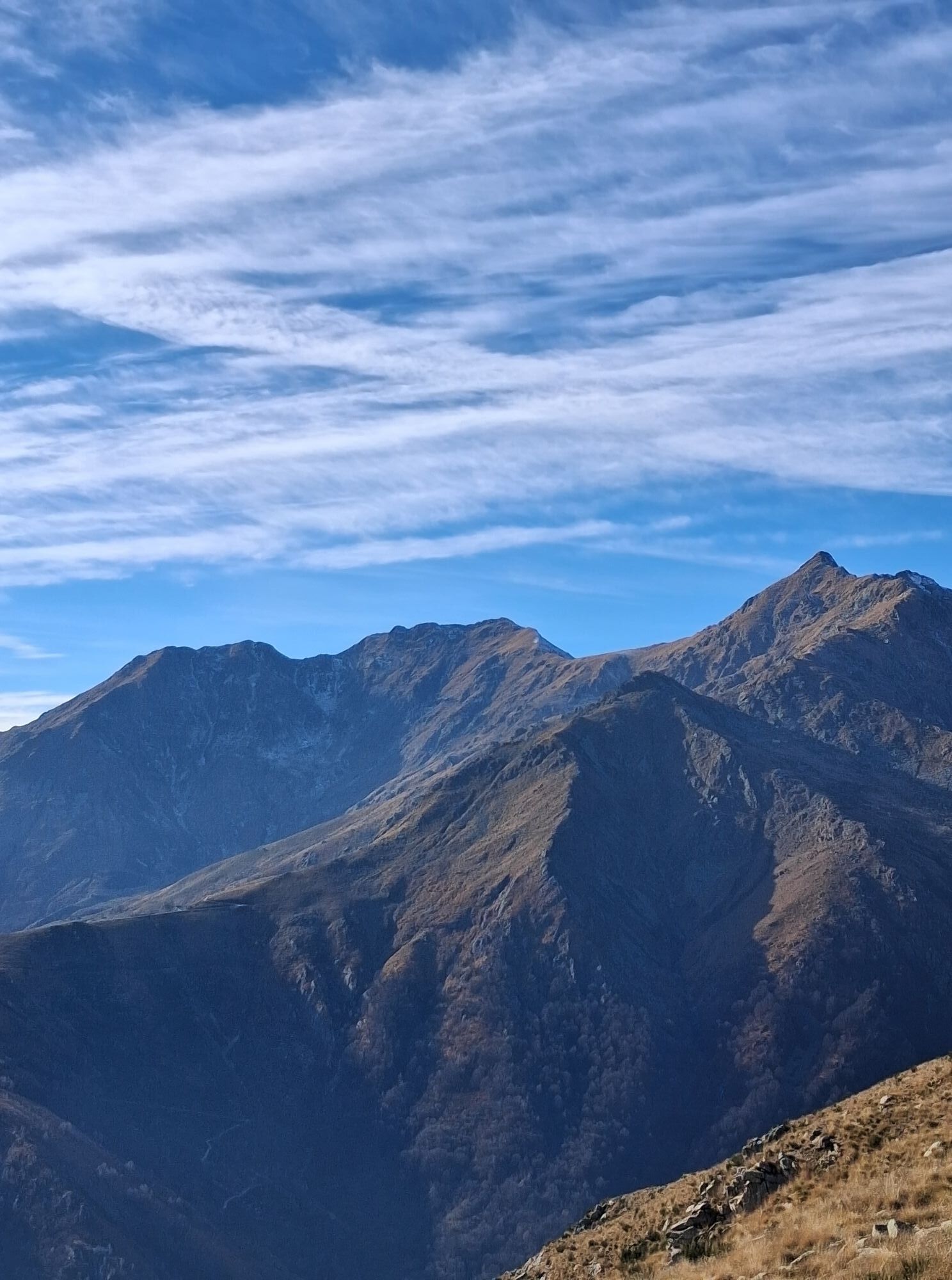

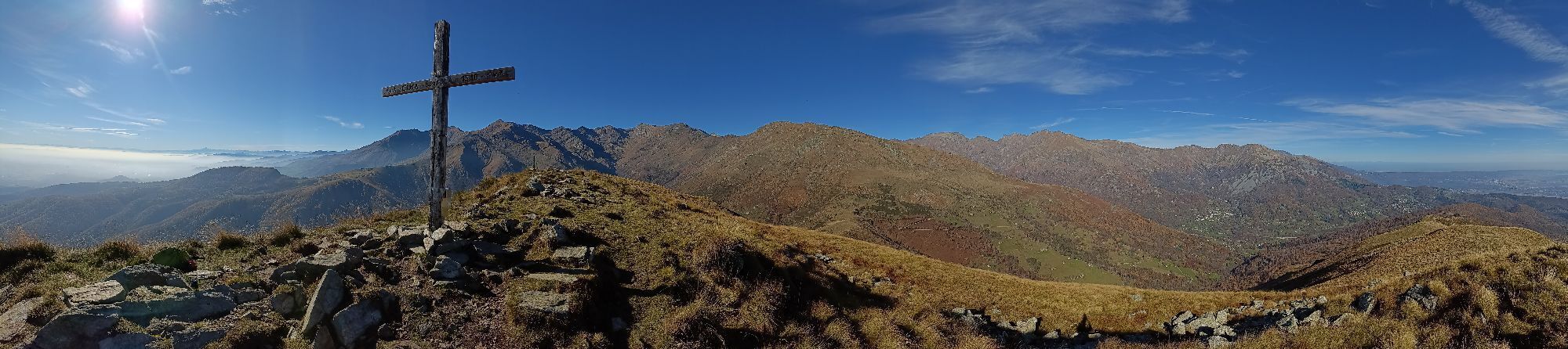
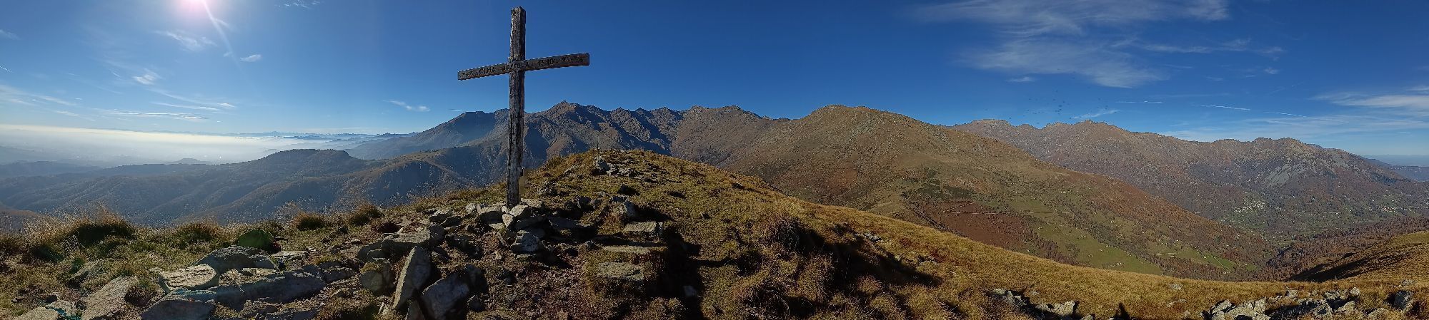

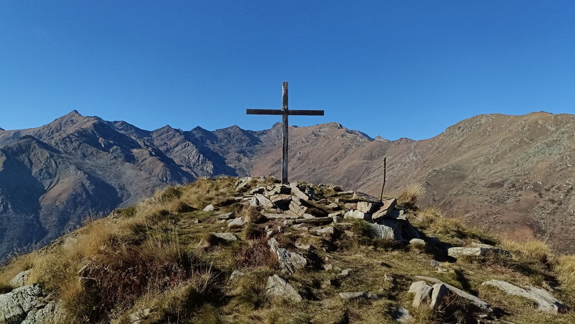
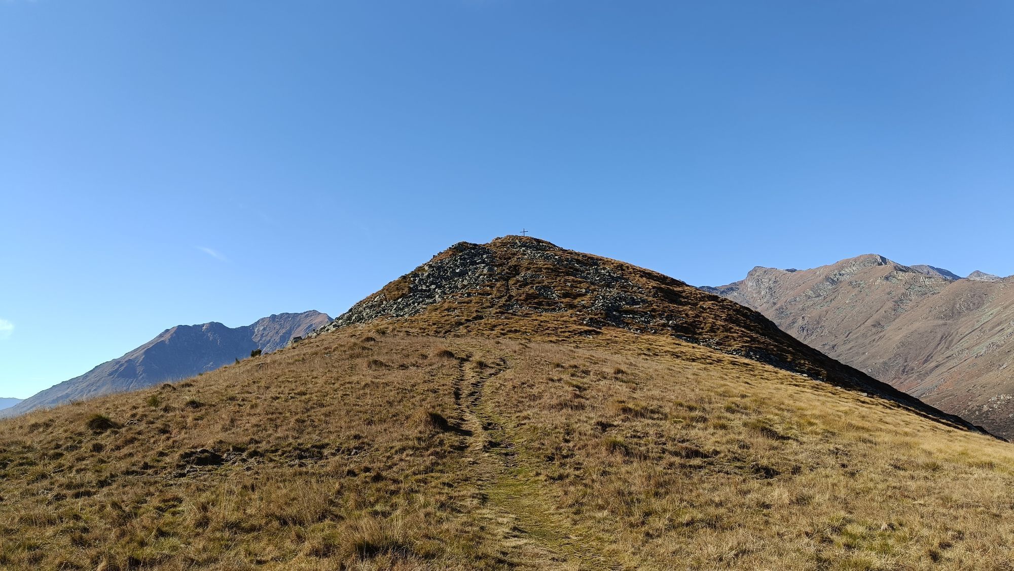


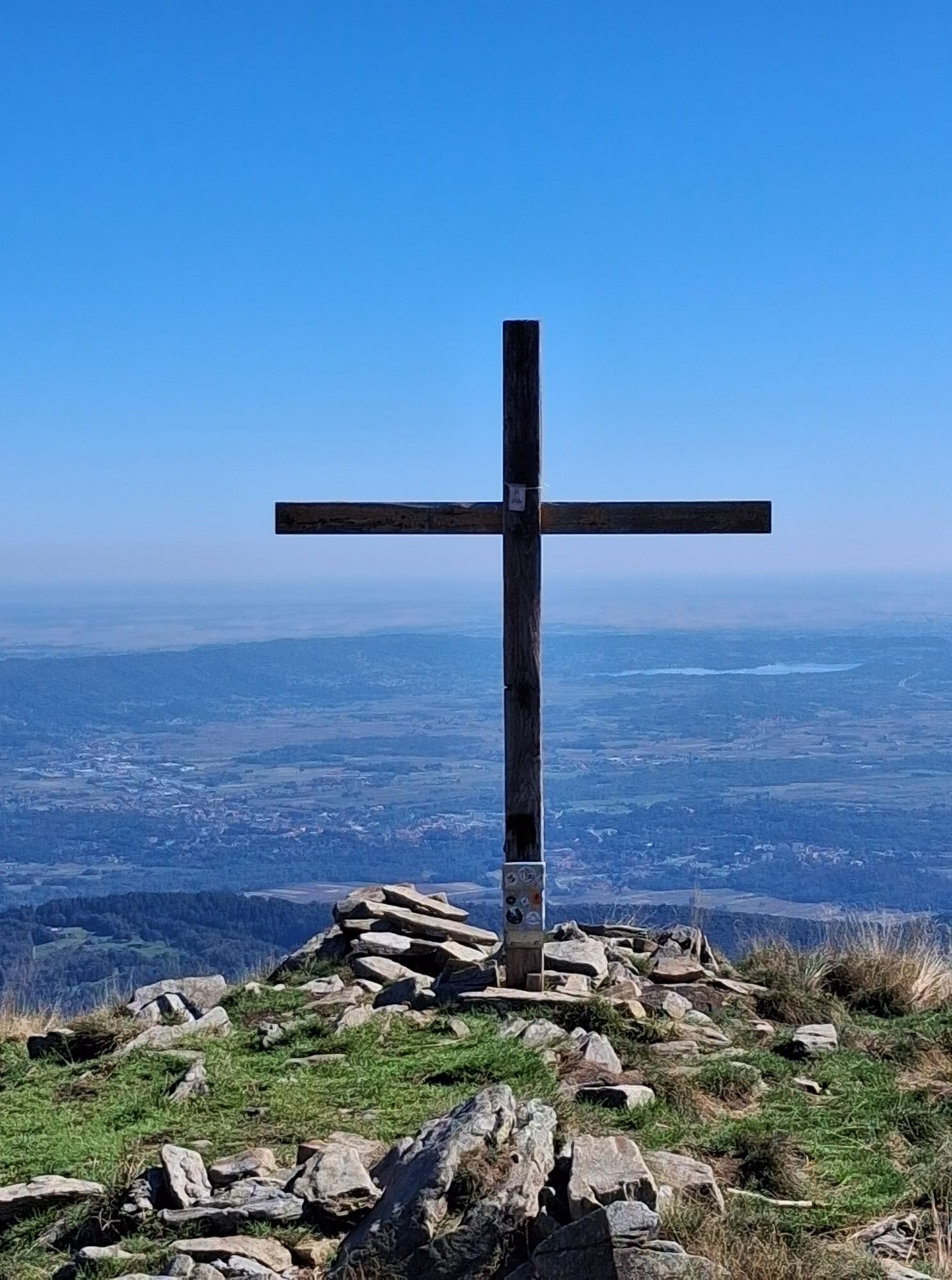

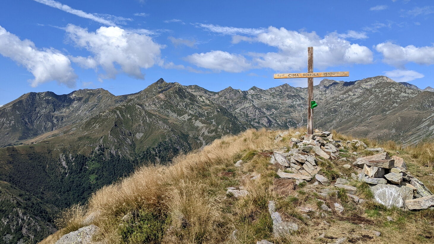
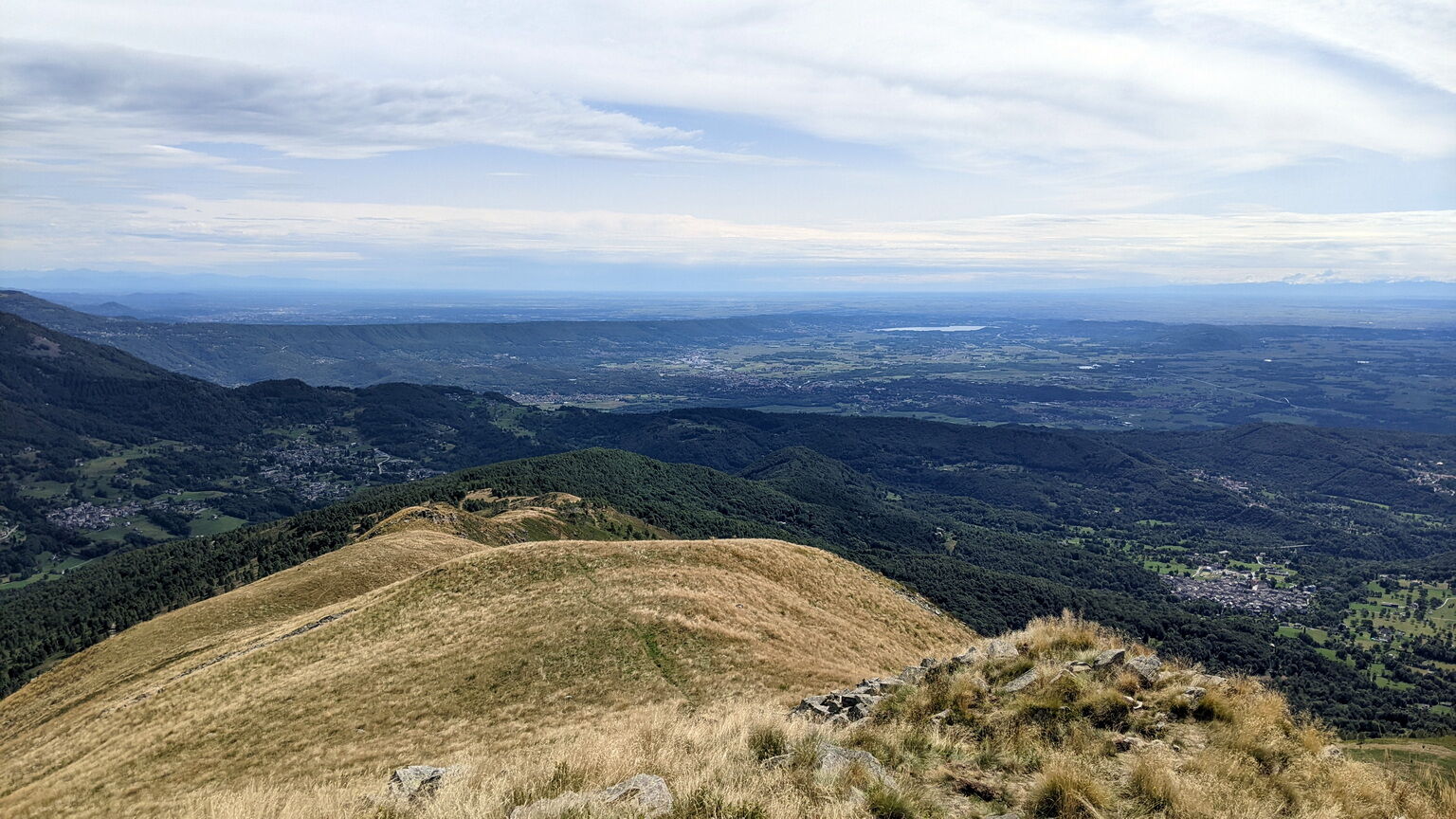
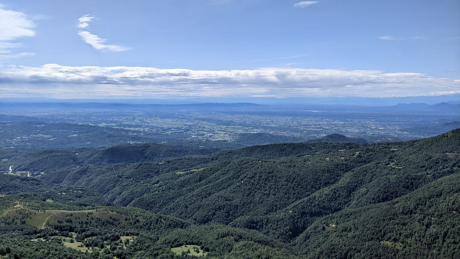
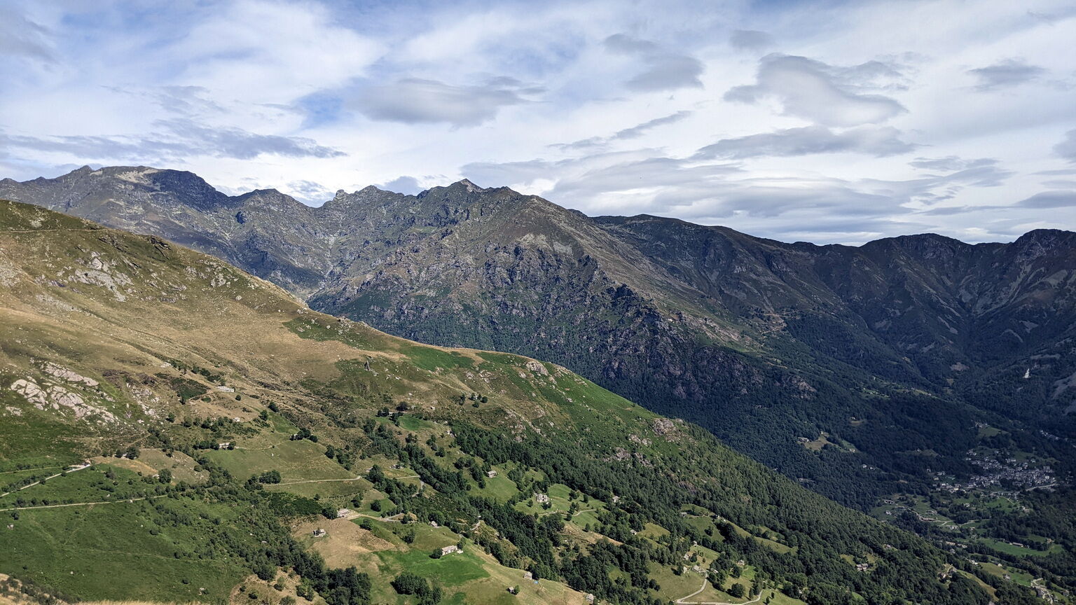
The hike to Cima Bossola is ideal for those who want to enjoy a 360° panorama without having to hike too much or go into high mountains. Its isolated position compared to other peaks allows the hiker to...
The hike to Cima Bossola is ideal for those who want to enjoy a 360° panorama without having to hike too much or go into high mountains. Its isolated position compared to other peaks allows the hiker to admire the landscape of the surrounding peaks, the plain, and the moraine hill. On the clearest days, you can catch sight of Monviso and the Maritime Alps!
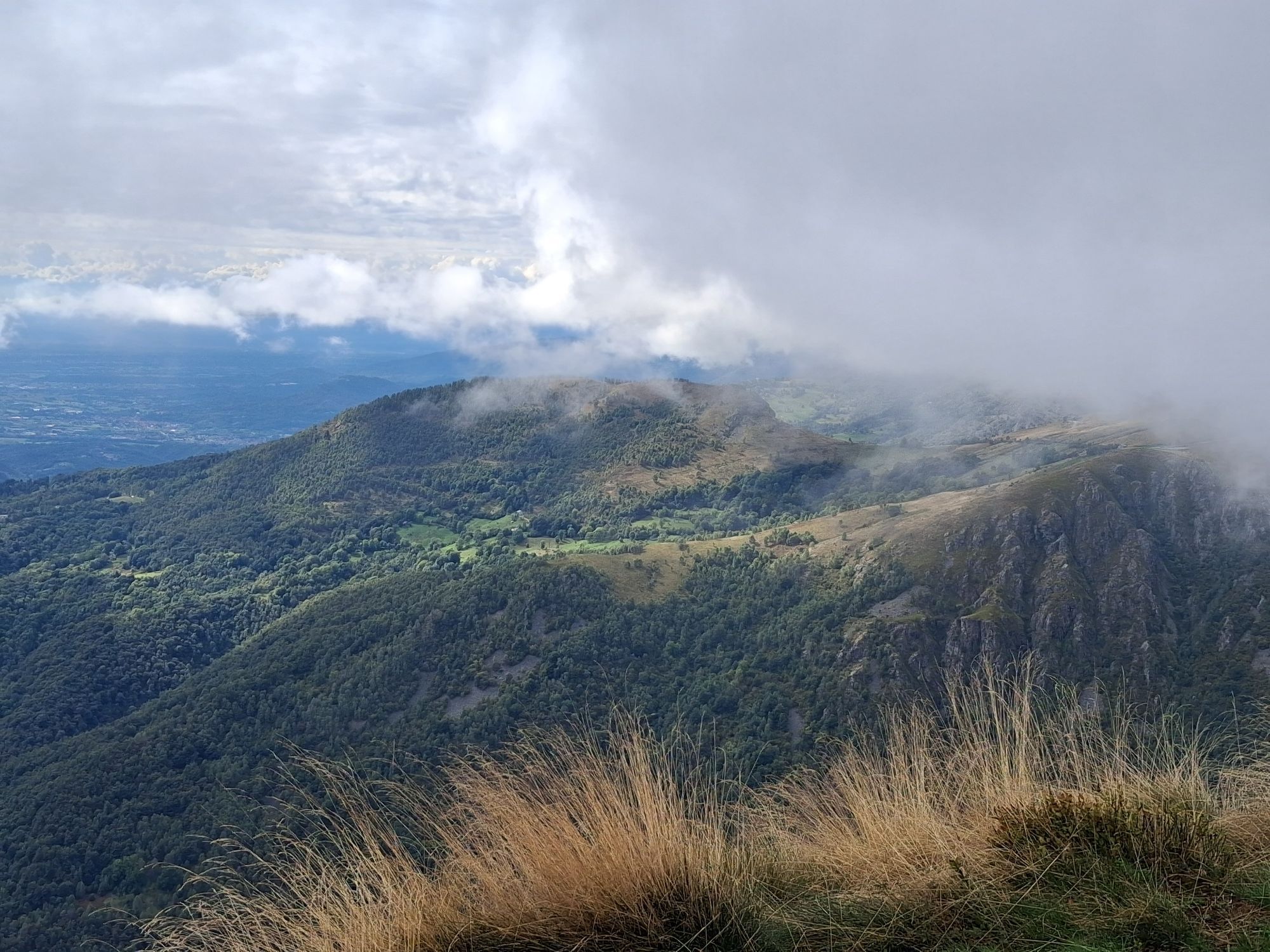
You walk on simple paths that cross meadows and pastures, with splendid blooms in early summer.

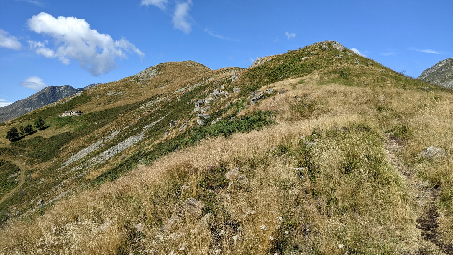
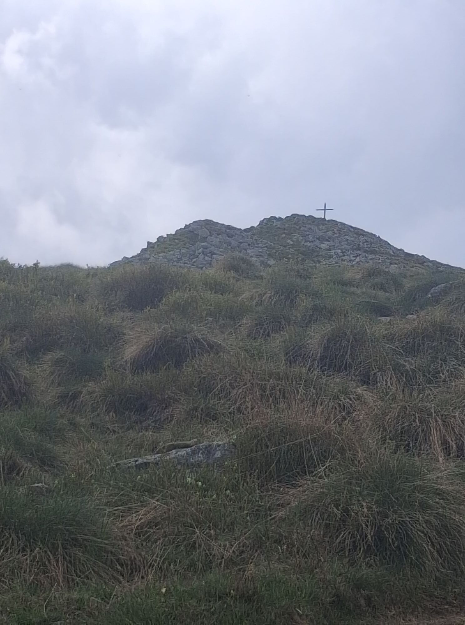
The path starts directly from the refuge along the line of greatest slope. You pass in the shade of pleasant birches with blueberries, heathers, and rhododendrons, around pastures. You do cross a dirt road that you do not take to continue to climb a little and then turn right. You can also turn immediately right onto the road. In any case, after about a hundred meters, at the height of a curve, take the path on the right which climbs the mountain ridge (at the beginning you pass a rocky area).
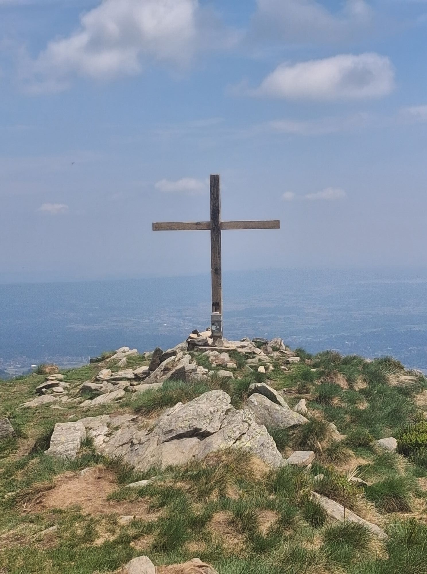
You continue walking on the back of the mountain and just before the last steep climb you cross another path (wooden signpost at about 1410 m) which must be ignored.
Da
Non-slip sole footwear, wind/rain protection, a warm layer, hat and sunglasses, water reserve are recommended
The route is sunny: in the height of summer, bring a water reserve and a hat to protect yourself from the sun.
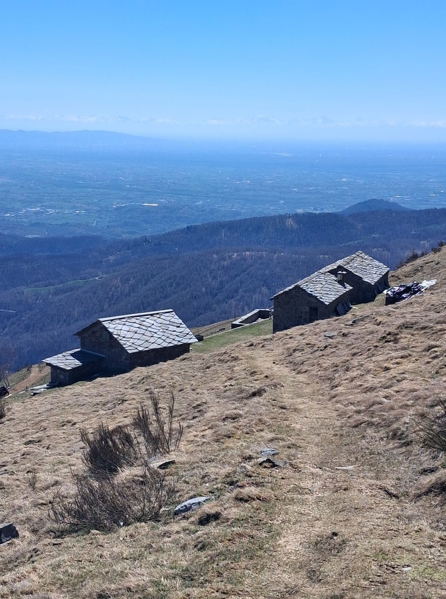
Reach Trausella, then Inverso. Here keep left and climb towards the Cima Bossola refuge via a small mountain road.
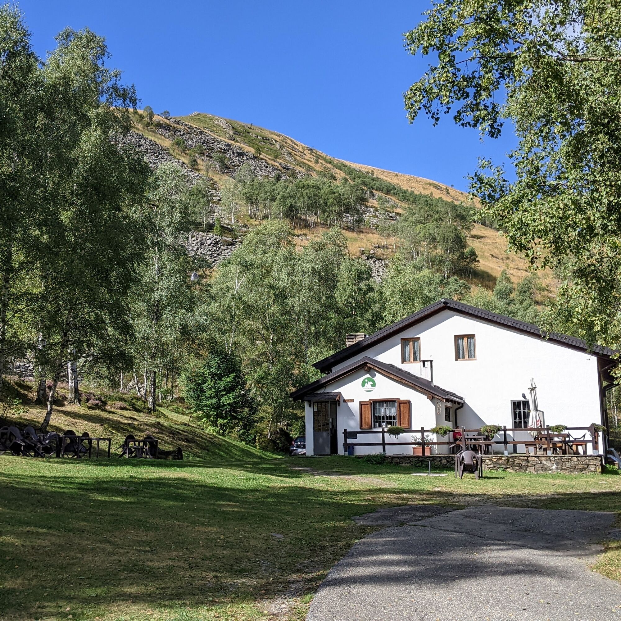
Near the refuge there is ample parking available
Plan to climb Cima Bossola in the morning and on the way back stop for an excellent lunch at the Cima Bossola refuge.
Priljubljeni izleti v okolici
- 5.0
VALCHIUSELLA Loop Fondo - Tissone - Tallorno
srednjaPohodništvo 5.08 km - 4.0
TRAVERSELLA Souls and Transhumance Path
srednjaPohodništvo 10.0 km BALDISSERO CANAVESE The Monti Pelati nature reserve
srednjaPohodništvo 7.19 km- 4.0
CAREMA Vineyard Path
svetlobaTematska pot 3.94 km - 4.0
VALPERGA Sacro Monte di Belmonte Loop
srednjaPohodništvo 10.3 km COLLERETTO CASTELNUOVO Pian del Lupo - Quinseina di Santa Elisabetta
težkoPohodništvo 6.27 kmVALCHIUSELLA Lakes of Alice Superiore and Meugliano
svetlobaPohodništvo 7.99 kmPunta Arbella from Campidaglio
srednjaPohodništvo 6.29 kmFONDO Alpe Balme Fondo and Tallorno
srednjaMountainbike 13.1 kmMONTALTO DORA Terre Ballerine - In search of Lake Coniglio
svetlobaPohodništvo 5.35 km
Pohodništvo in sledenje


Ne zamudite ponudb in navdiha za naslednje počitnice
Vaš e-poštni naslov je bil dodan na poštni seznam.