



Grande Traversata della Valsesia: Stage 10 Rifugio Baranca - Rifugio Obre-Huusch


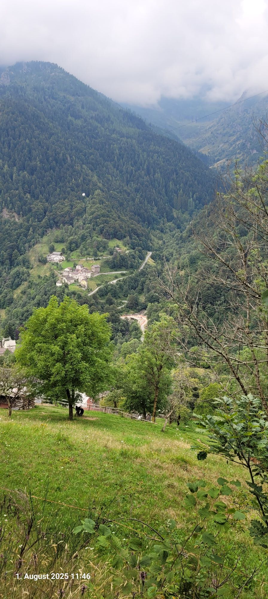
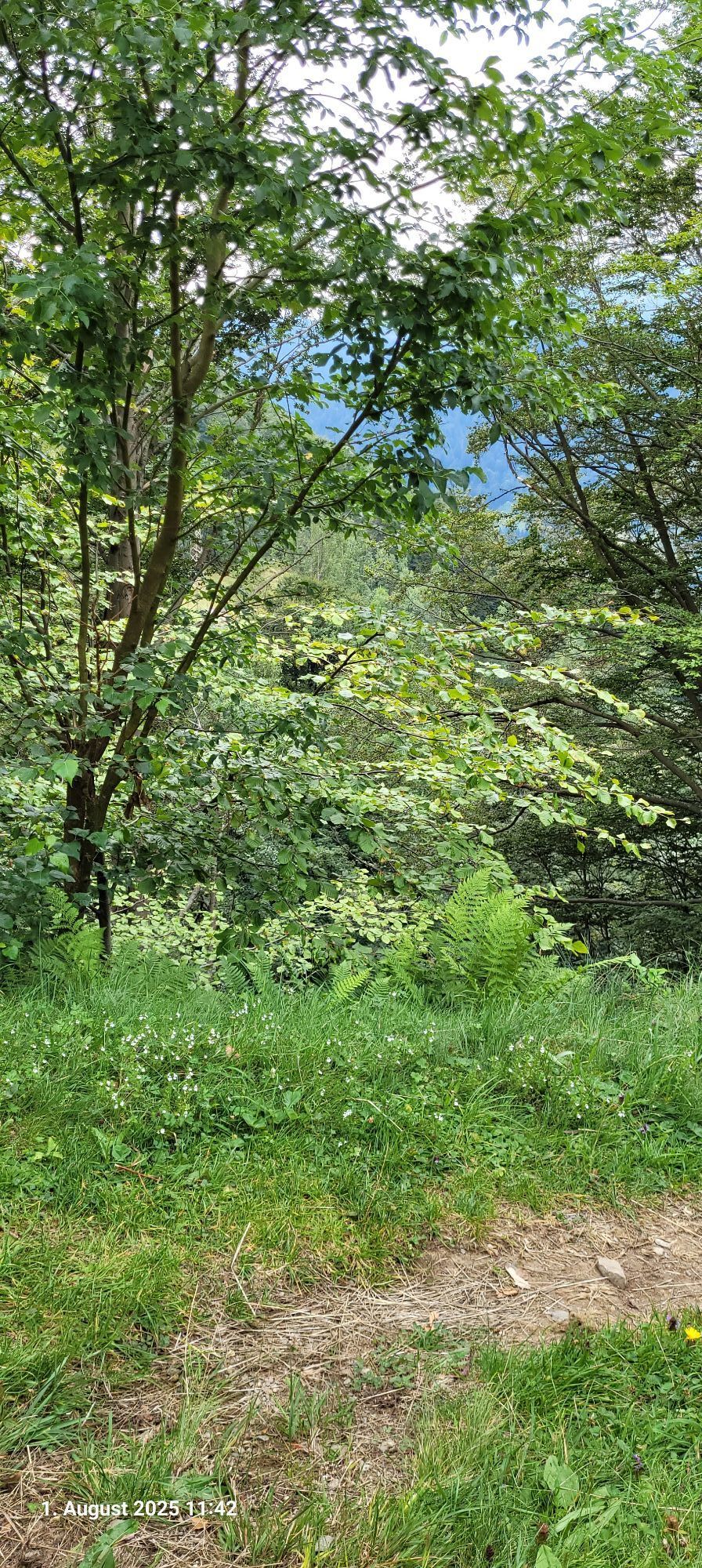
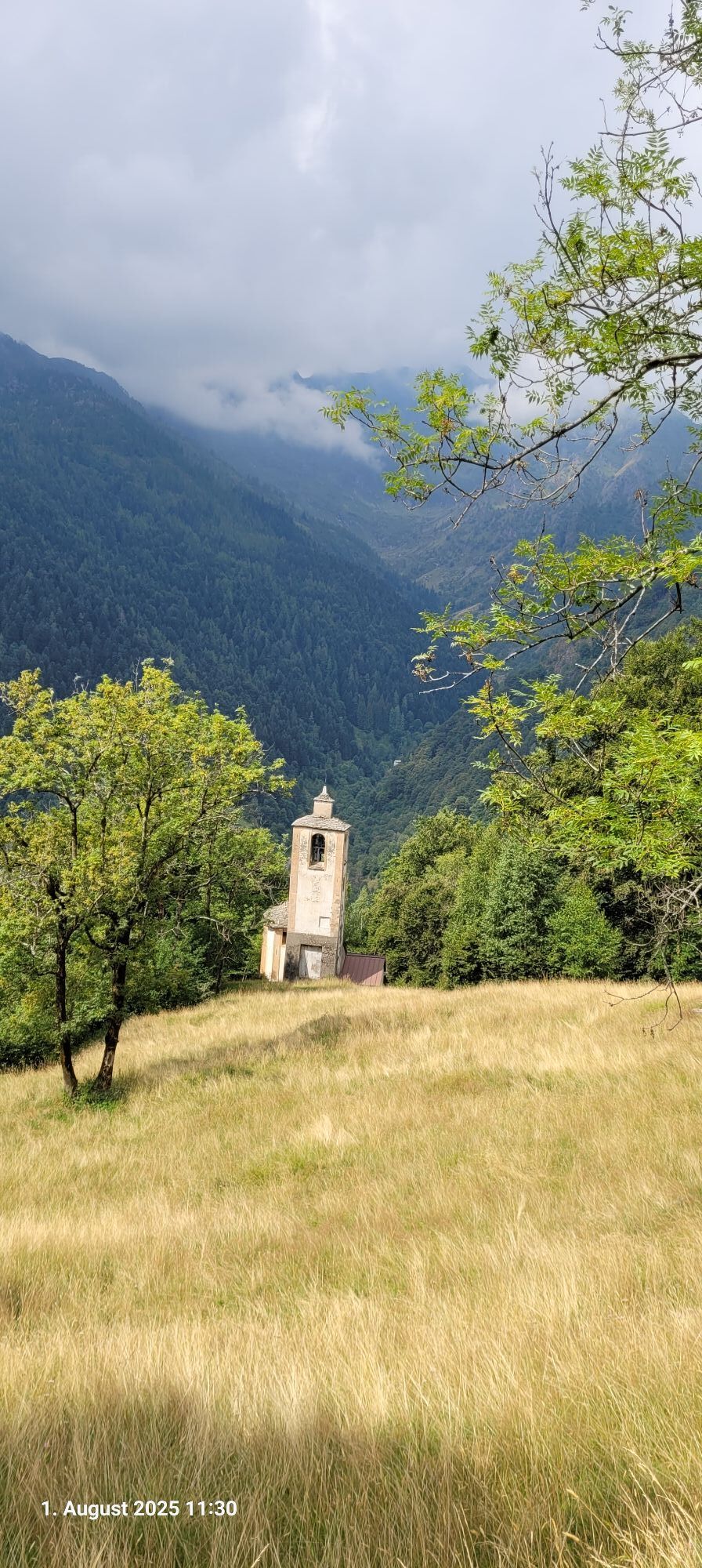
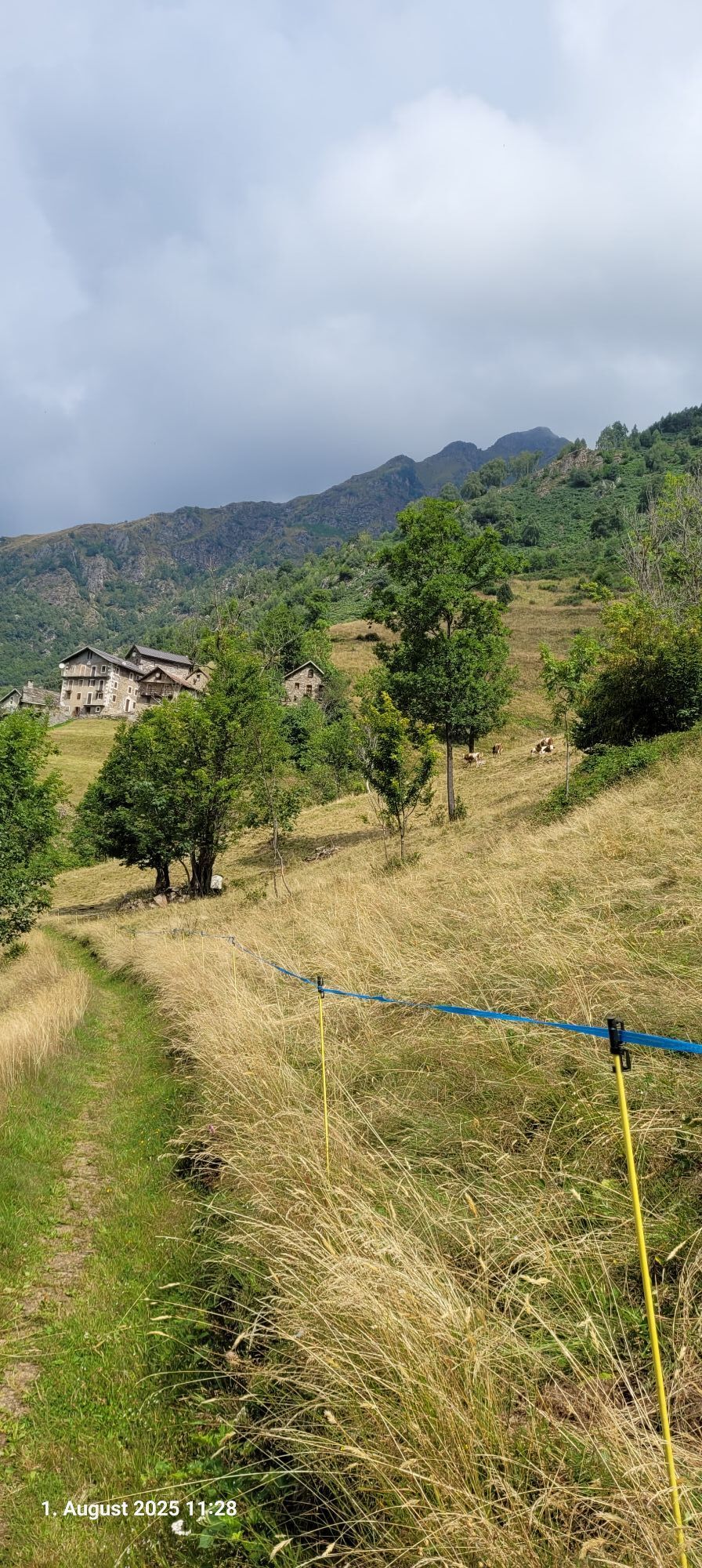
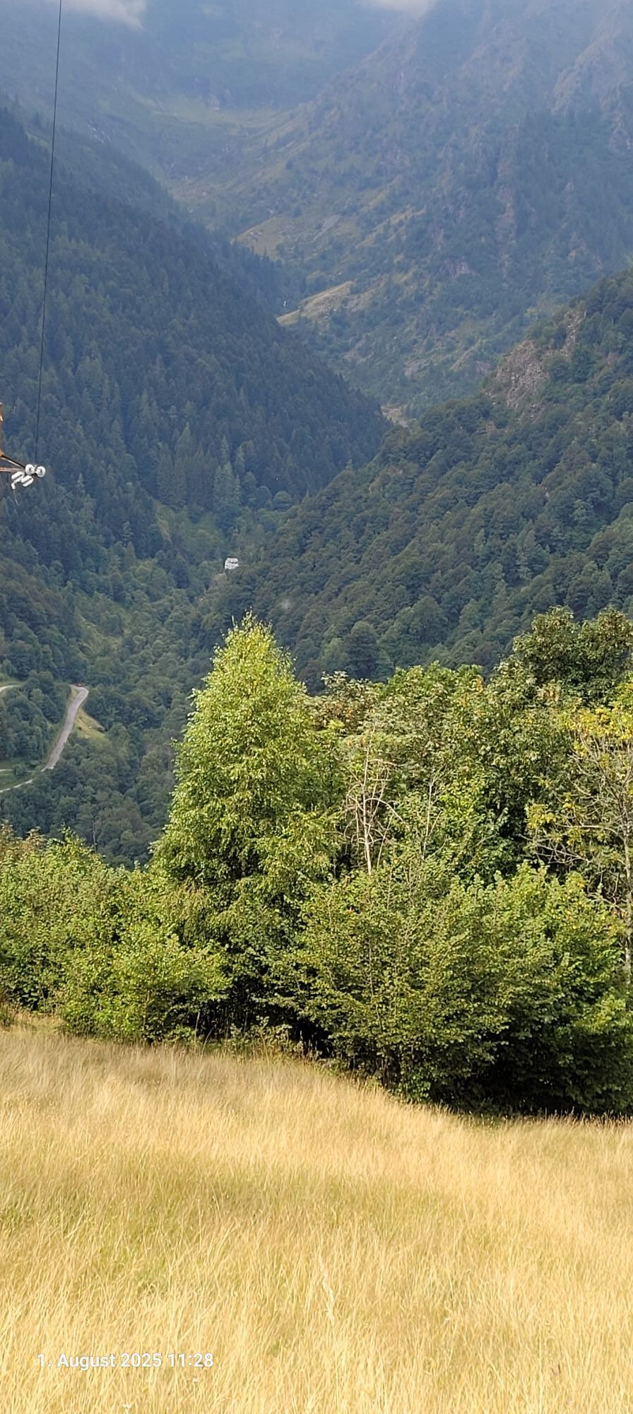
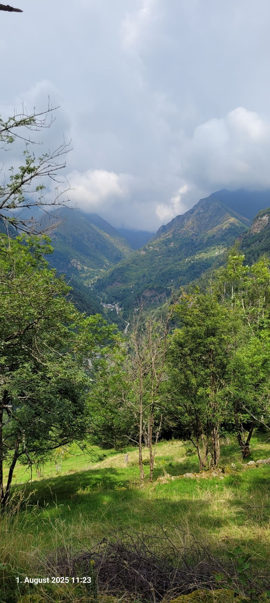
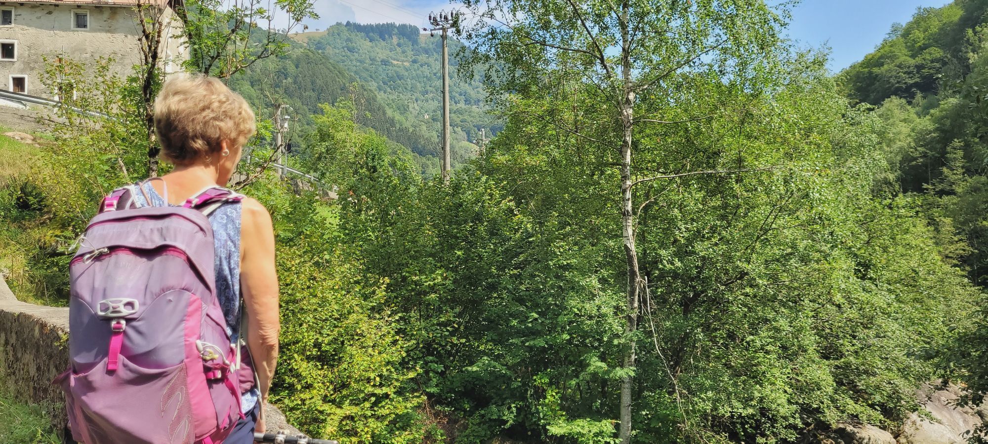
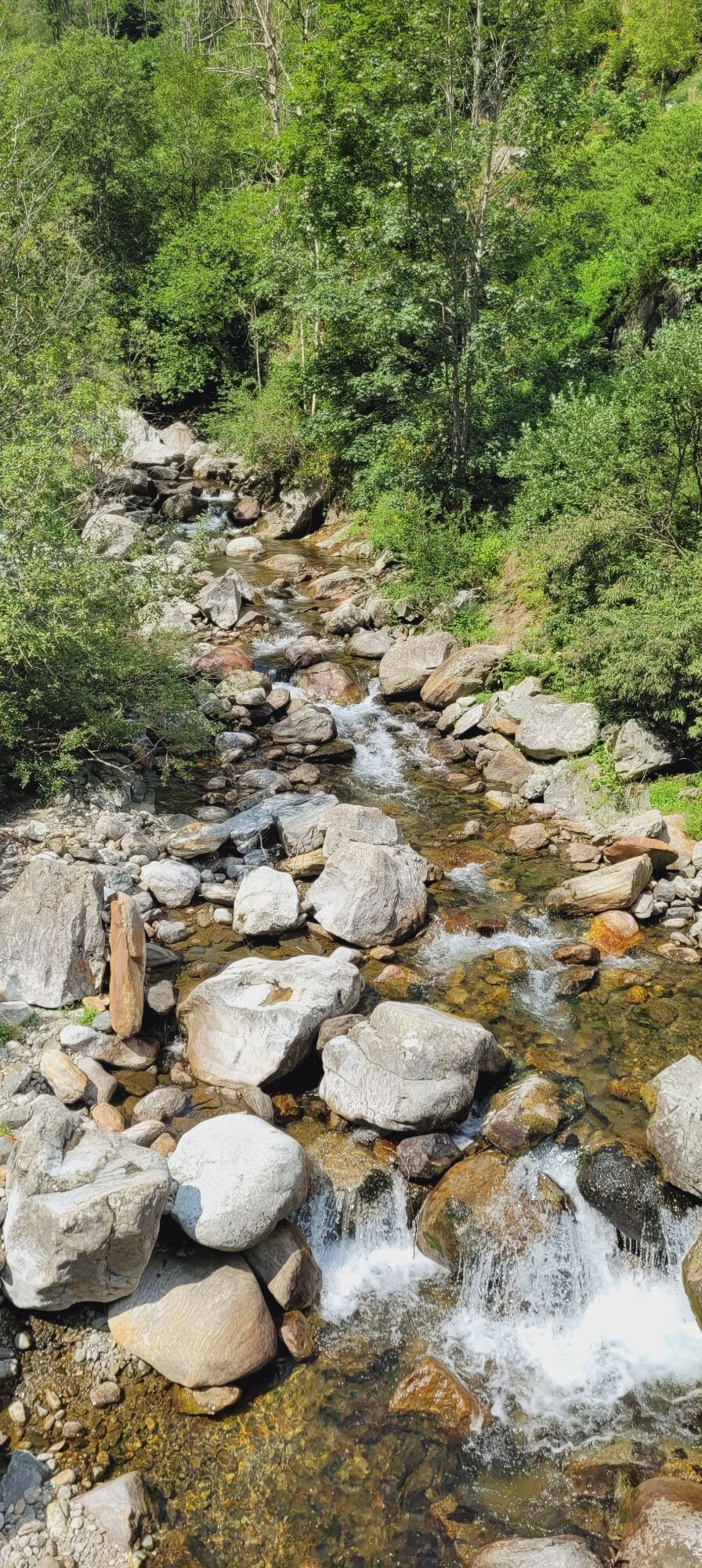
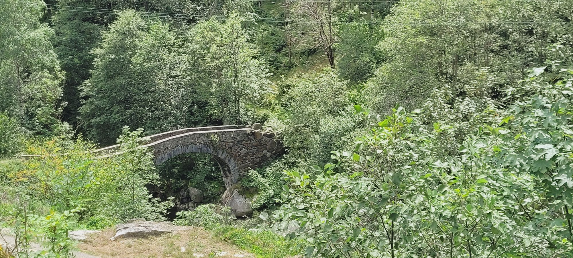
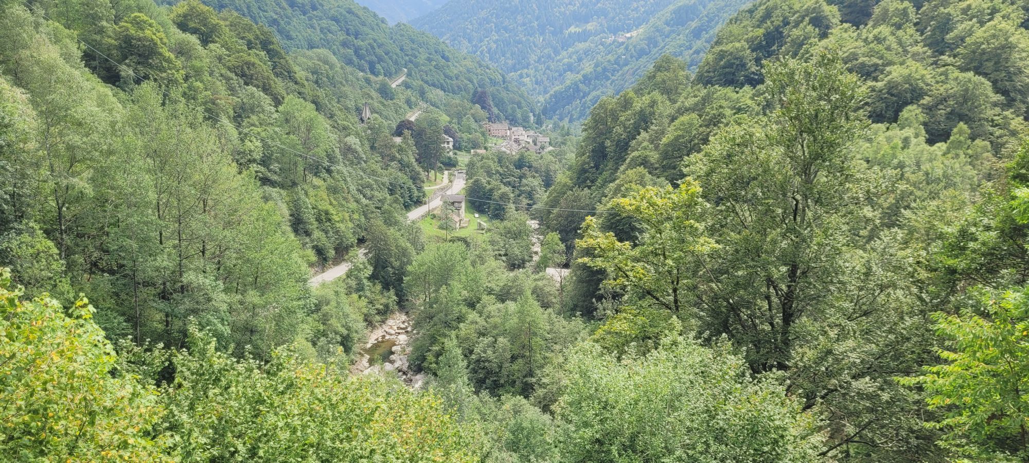
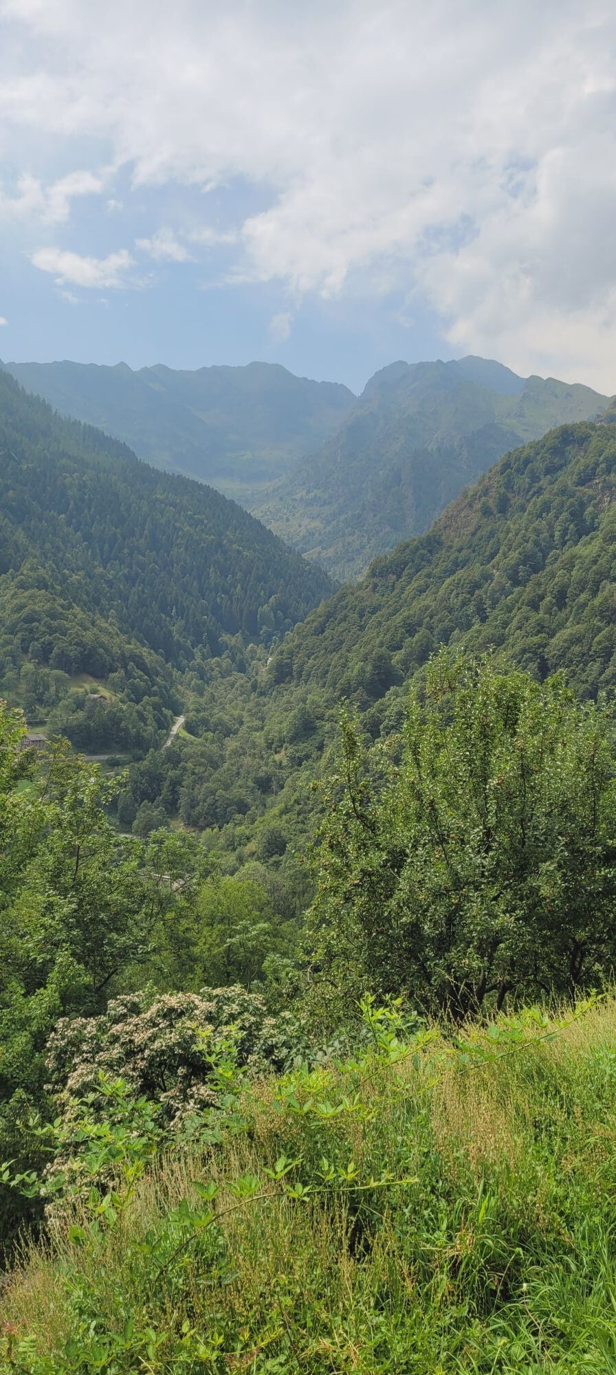
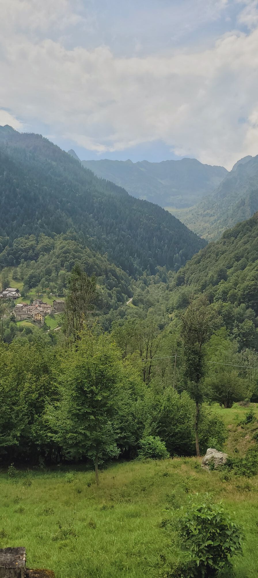
From Alpe Baranca (1600 m.) we go down along an easy mule track to the hamlet of Santa Maria (GTA stop-off point) and from here to Fobello. At La Piana we go up briefly to Boco Superiore and from here...
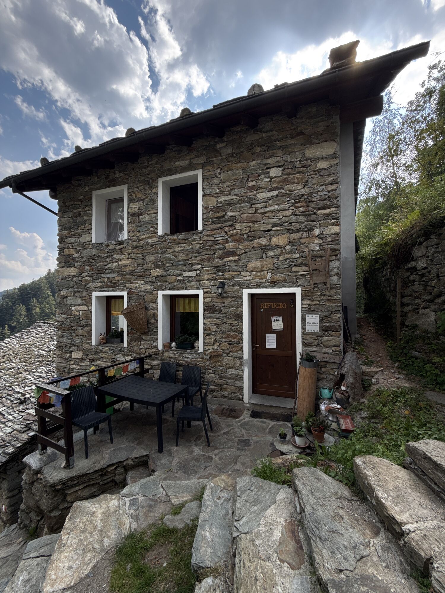
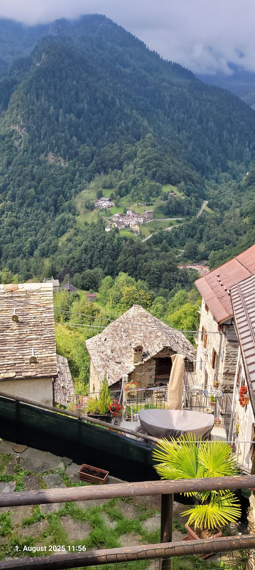
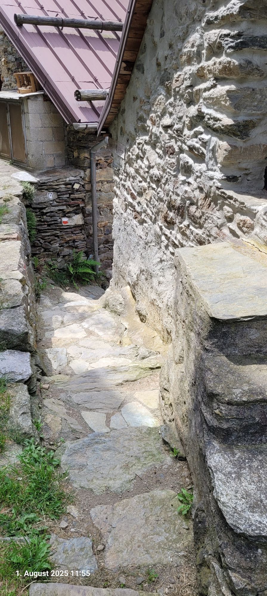
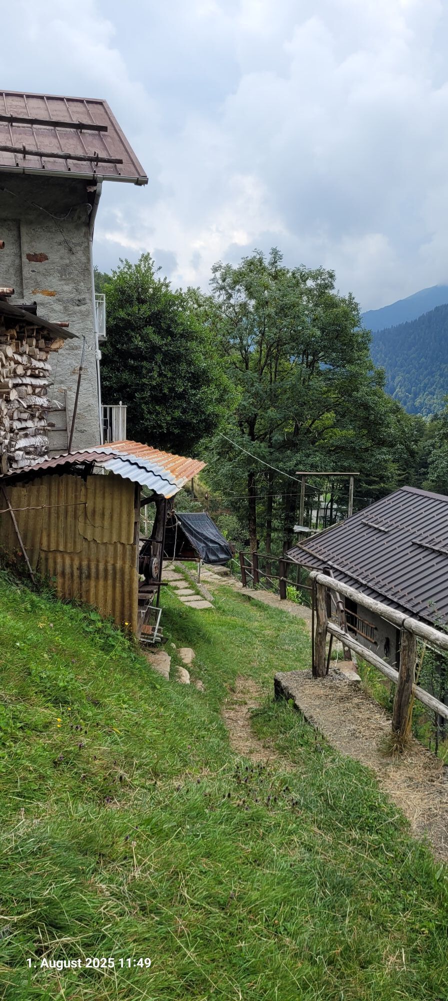
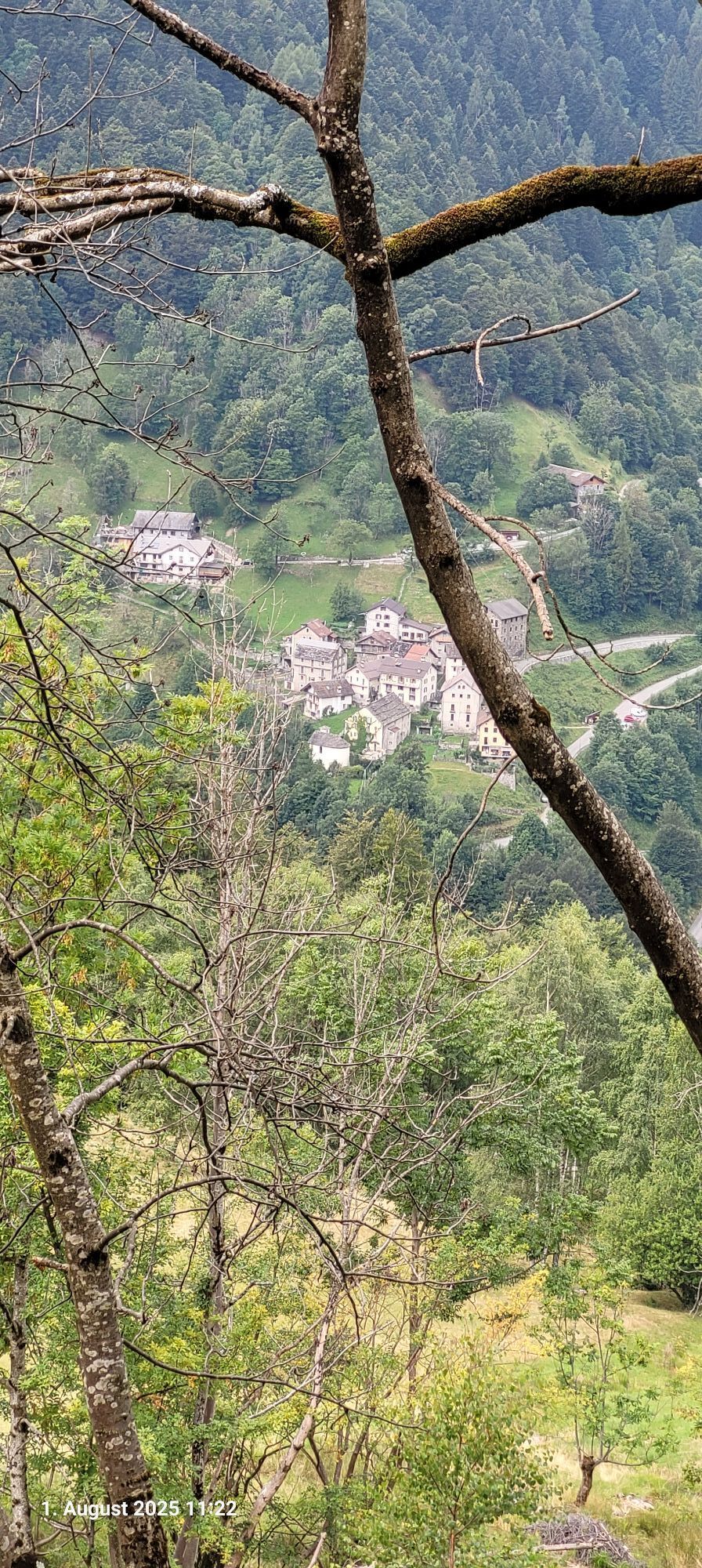
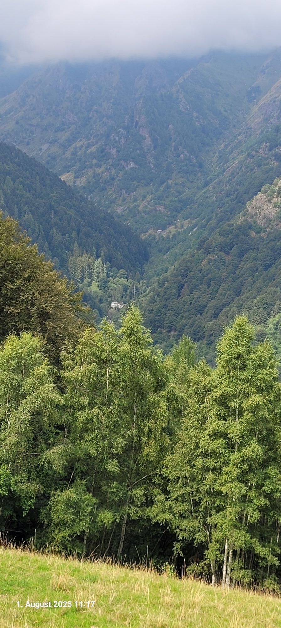
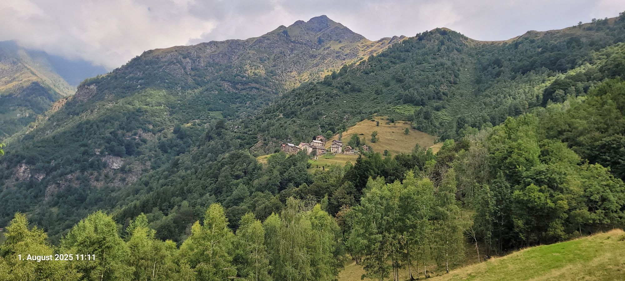
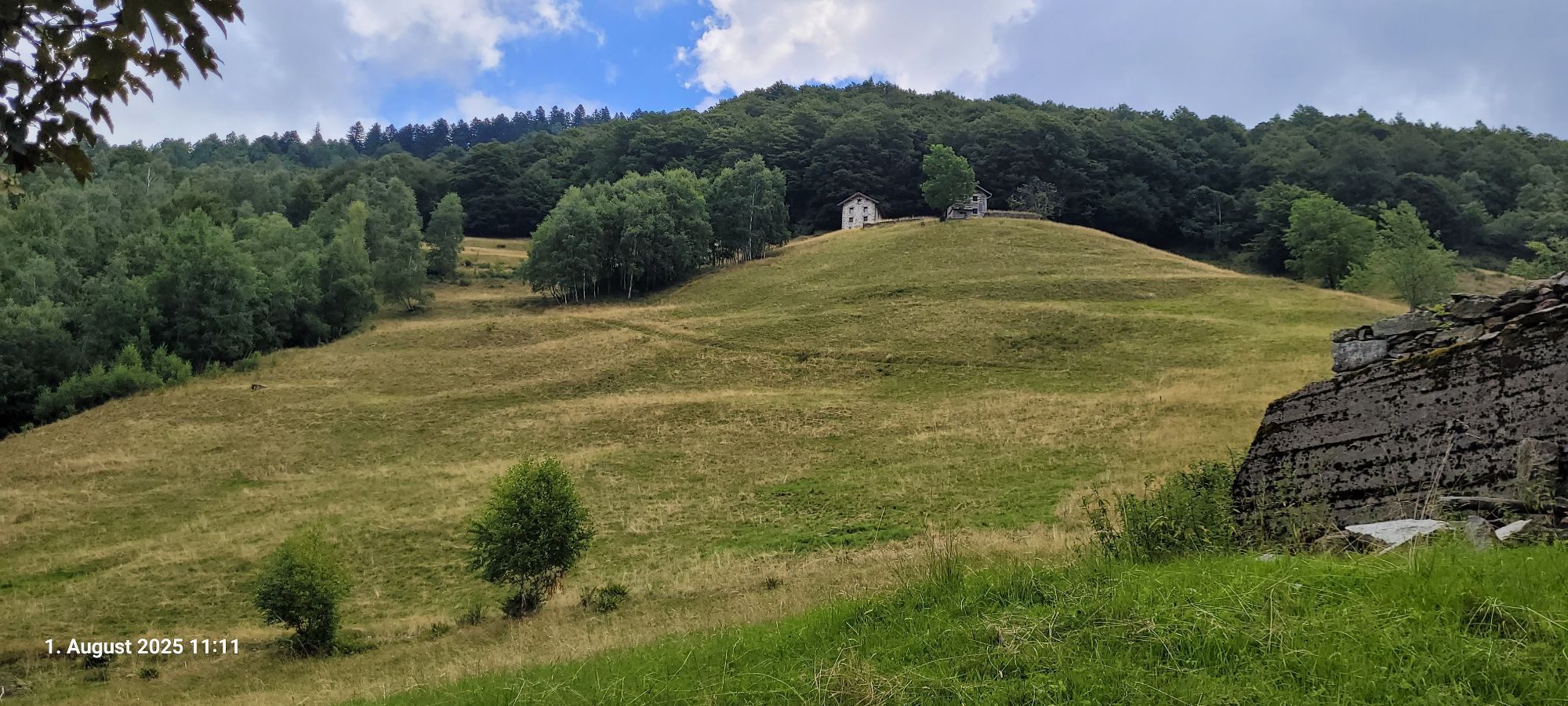
From Alpe Baranca (1600 m.) we go down along an easy mule track to the hamlet of Santa Maria (GTA stop-off point) and from here to Fobello. At La Piana we go up briefly to Boco Superiore and from here to the hamlet of Belvedere. A short uphill stretch on an easy path leads to the panoramic Alpeggio La Res (1419 m.). Finally a short downhill stretch leads to Roncaccio Superiore (1169 m.) where the Rifugio Obre Huusch is located.

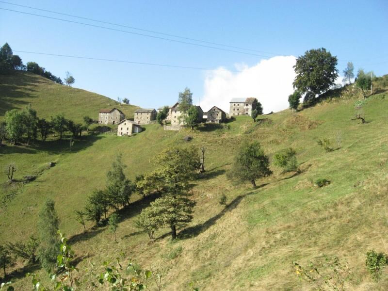

From Alpe Baranca (1600 m.) you descend along a comfortable mule track to the hamlet of Santa Maria (GTA stopping place) and from here towards Fobello. At La Piana, go up briefly to Boco Superiore and from here to the hamlet of Belvedere. A short uphill stretch on an easy path leads to the panoramic Alpeggio La Res (1419 m.). Finally, a short downhill stretch leads to Roncaccio Superiore (1169 m) where the Obre Huusch refuge is located.
Da
Given the long route in stages of the itinerary which includes routes in the high mountains, the use of fleece, trousers and a windbreaker in technical fabric is recommended
Nothing to report
Priljubljeni izleti v okolici
Grande Traversata delle Alpi - GTA: Tratto Nord Piemonte
težkoPohodništvo 181,3 km- 4,0
Alpe Piè di Baranca - Colle d'Egua
srednjaPohodništvo 12,2 km - 4,5
GTA Variant of the Upper Anzasca and Antrona Valleys: Stage 16E Macugnaga - Rifugio Buon Pastore
srednjaPohodništvo 20,7 km - 3,0
Omegna Valley cycle
srednjaE-kolesa 38,8 km Carcoforo- colle del termo- rima
srednjaGorski pohodništvo 8,38 kmStra' Granda Stage 1: Piedimulera - Pontegrande
svetlobaPohodništvo 12,2 kmStra' Granda
srednjaPohodništvo 50,4 kmVia Geoalpina | Stage 7 Vogogna - Campello Monti
srednjaPohodništvo 19,4 kmCiclabile della Valsesia: Tappa 5 Piode - Alagna Valsesia
težkoKolesarjenje na dolge razdalje 15,5 kmCiclabile della Valsesia: Tappa 3 Varallo - Scopello
težkoKolesarjenje na dolge razdalje 19,8 km
Pohodništvo in sledenje


Ne zamudite ponudb in navdiha za naslednje počitnice
Vaš e-poštni naslov je bil dodan na poštni seznam.


