


GTA Variant of the Upper Anzasca and Antrona Valleys: Stage 16E Macugnaga - Rifugio Buon Pastore

From the centre of Macugnaga cross the Anza torrent and follow the dirt road on the right hydrographic bank which passes through Ronco and leads to Isella. From here, take the so-called "Sentiere delle...
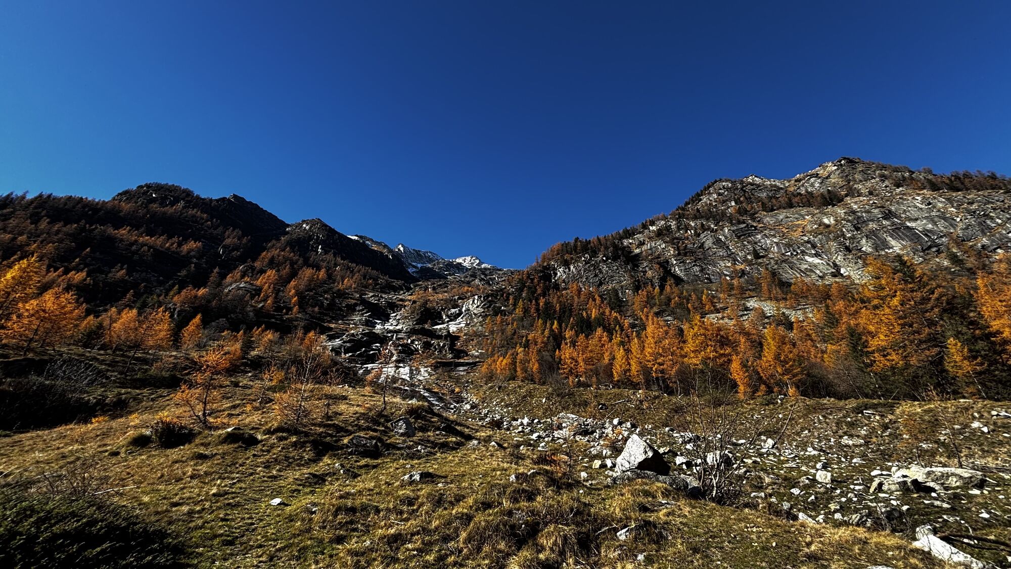
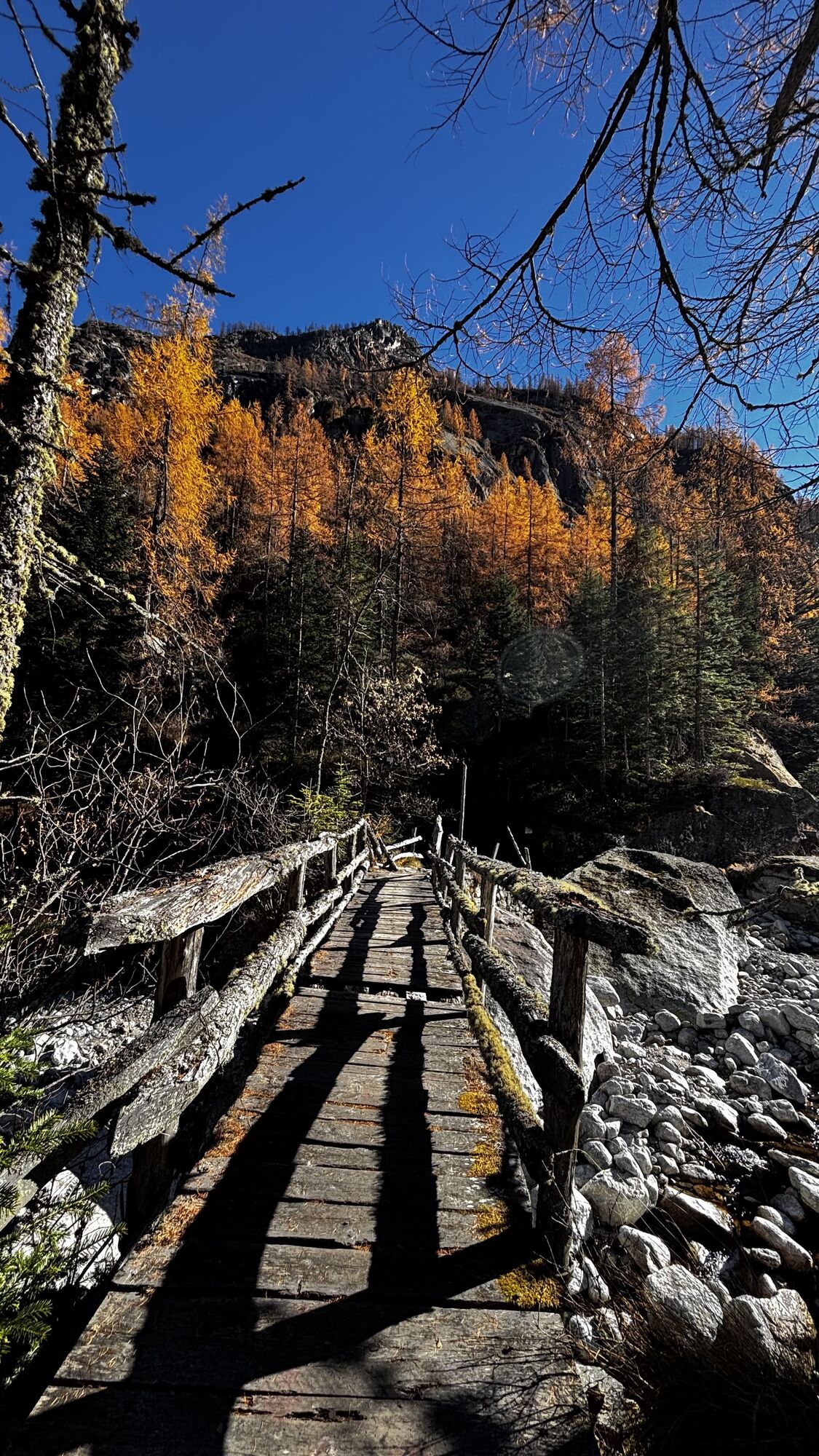
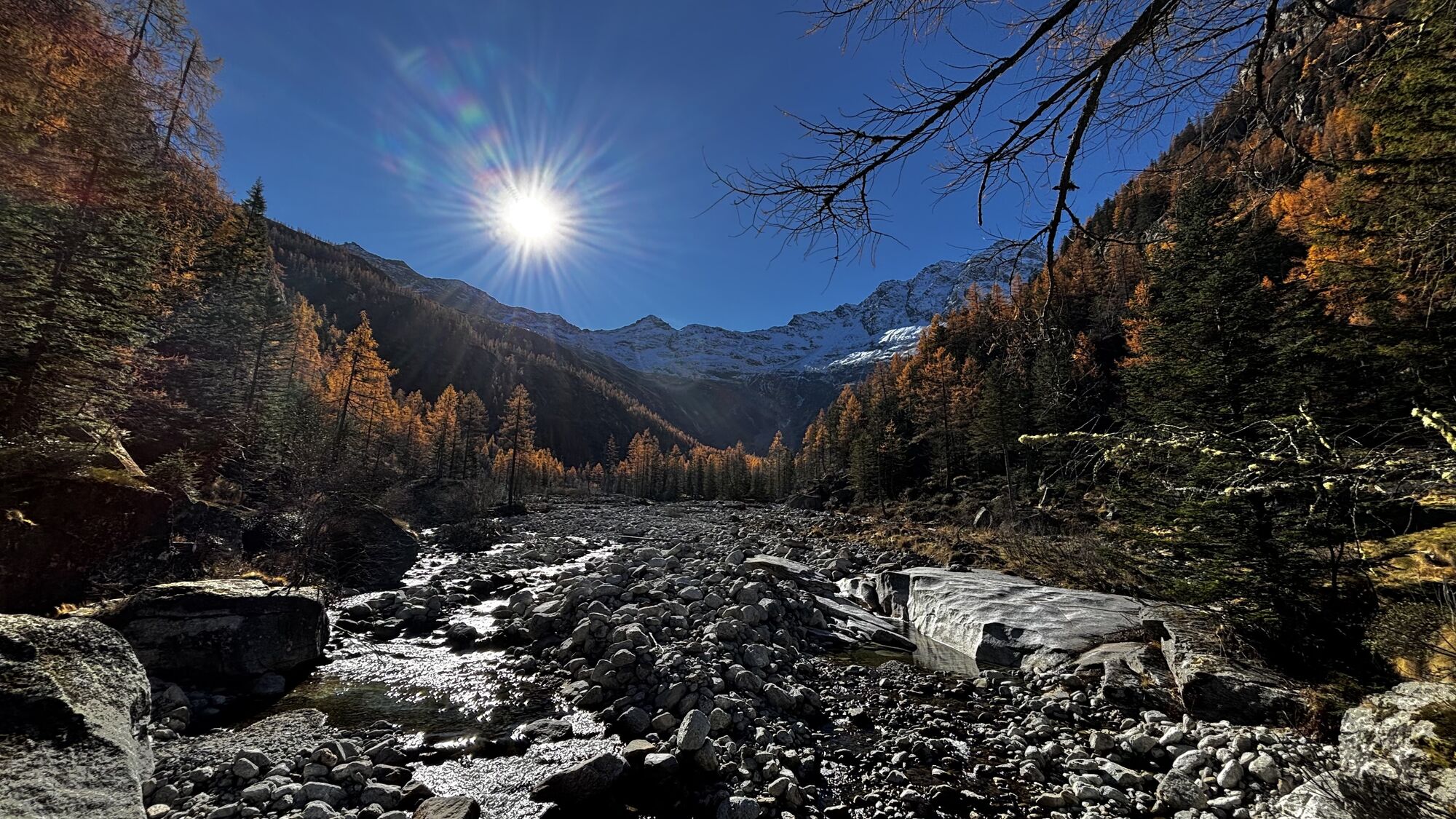
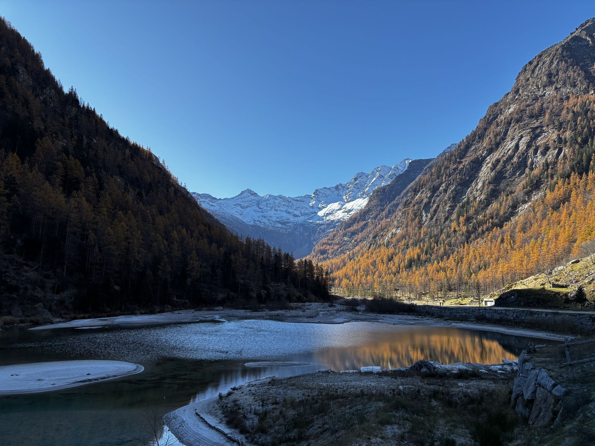
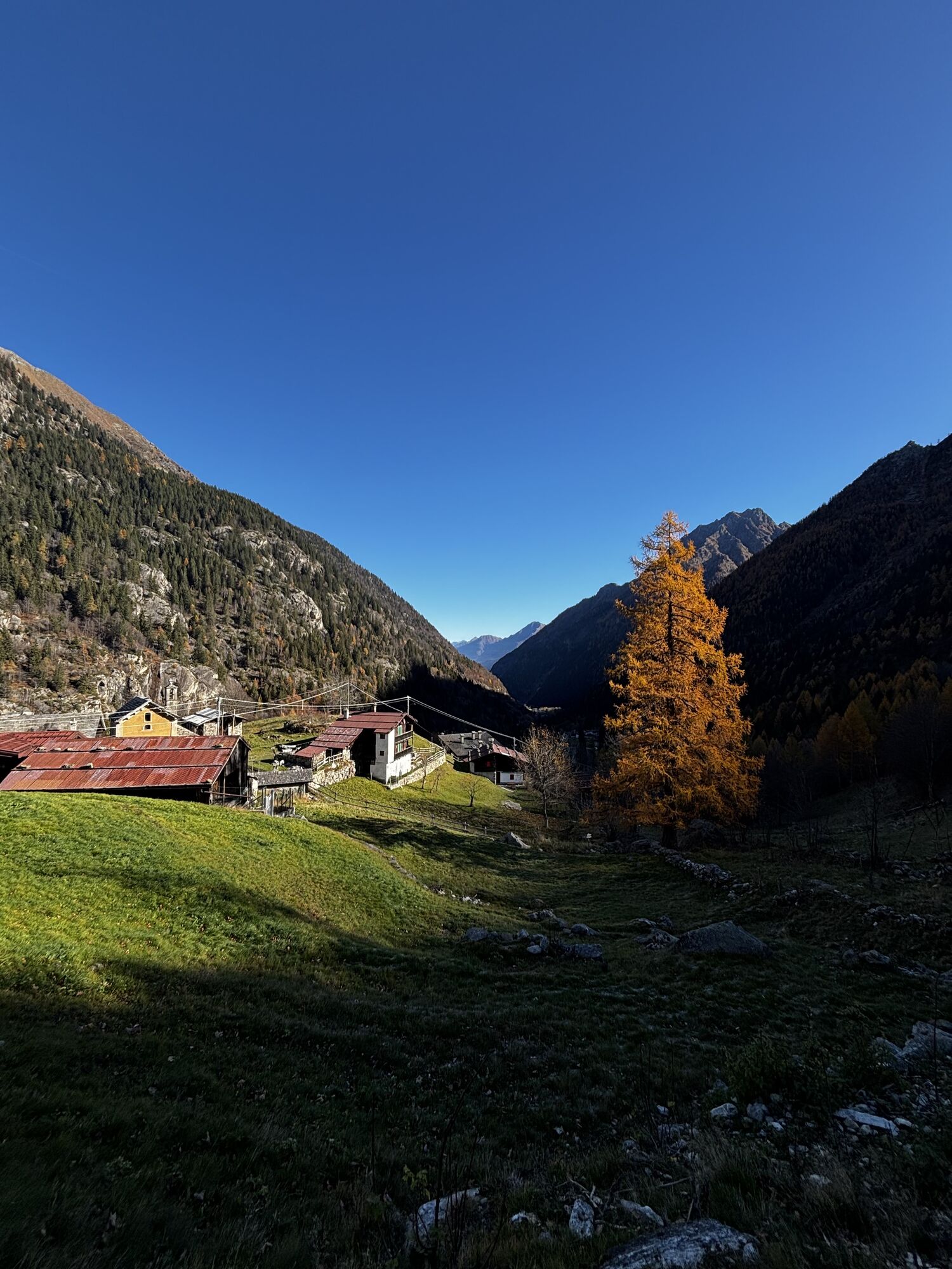
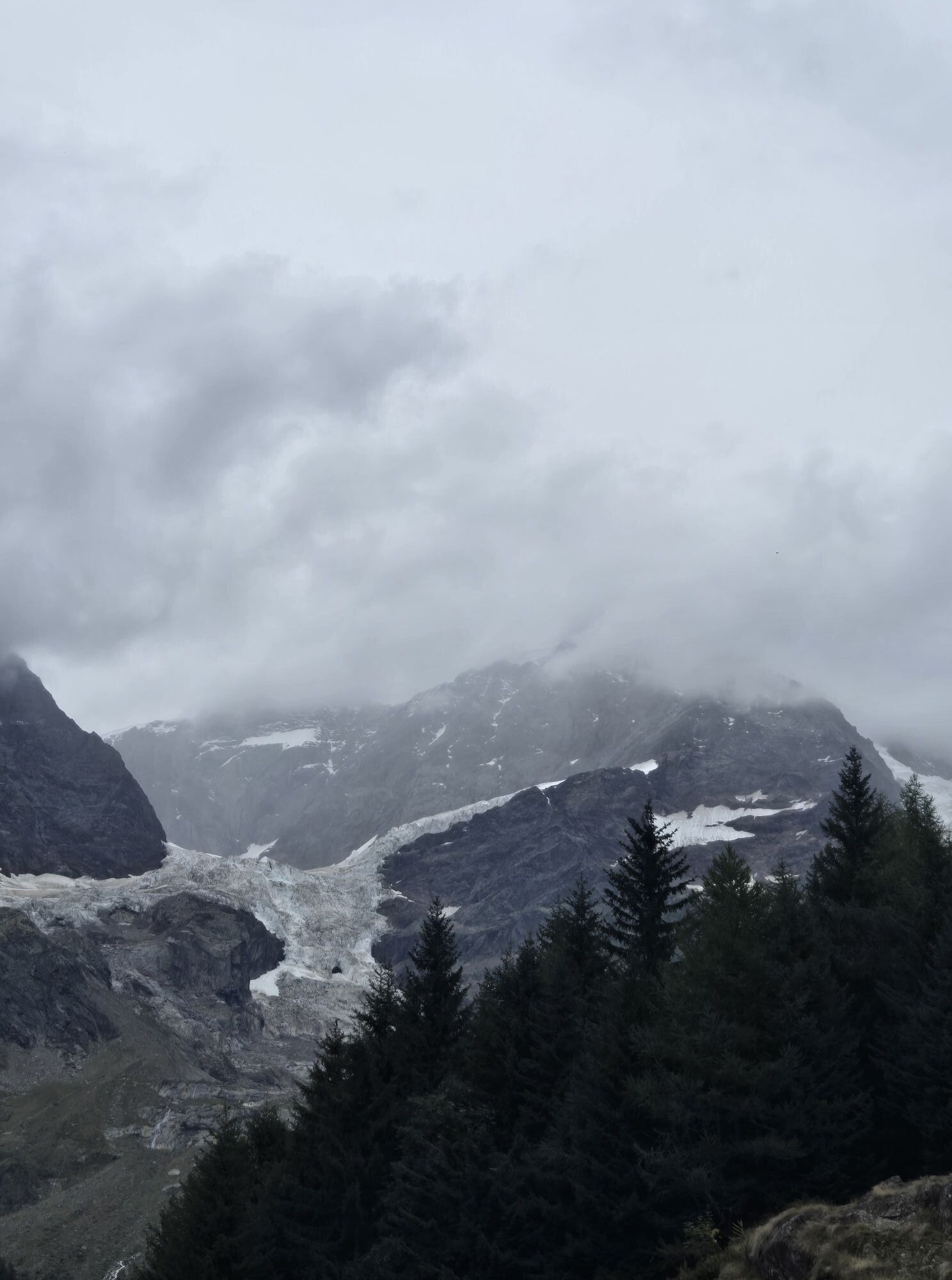
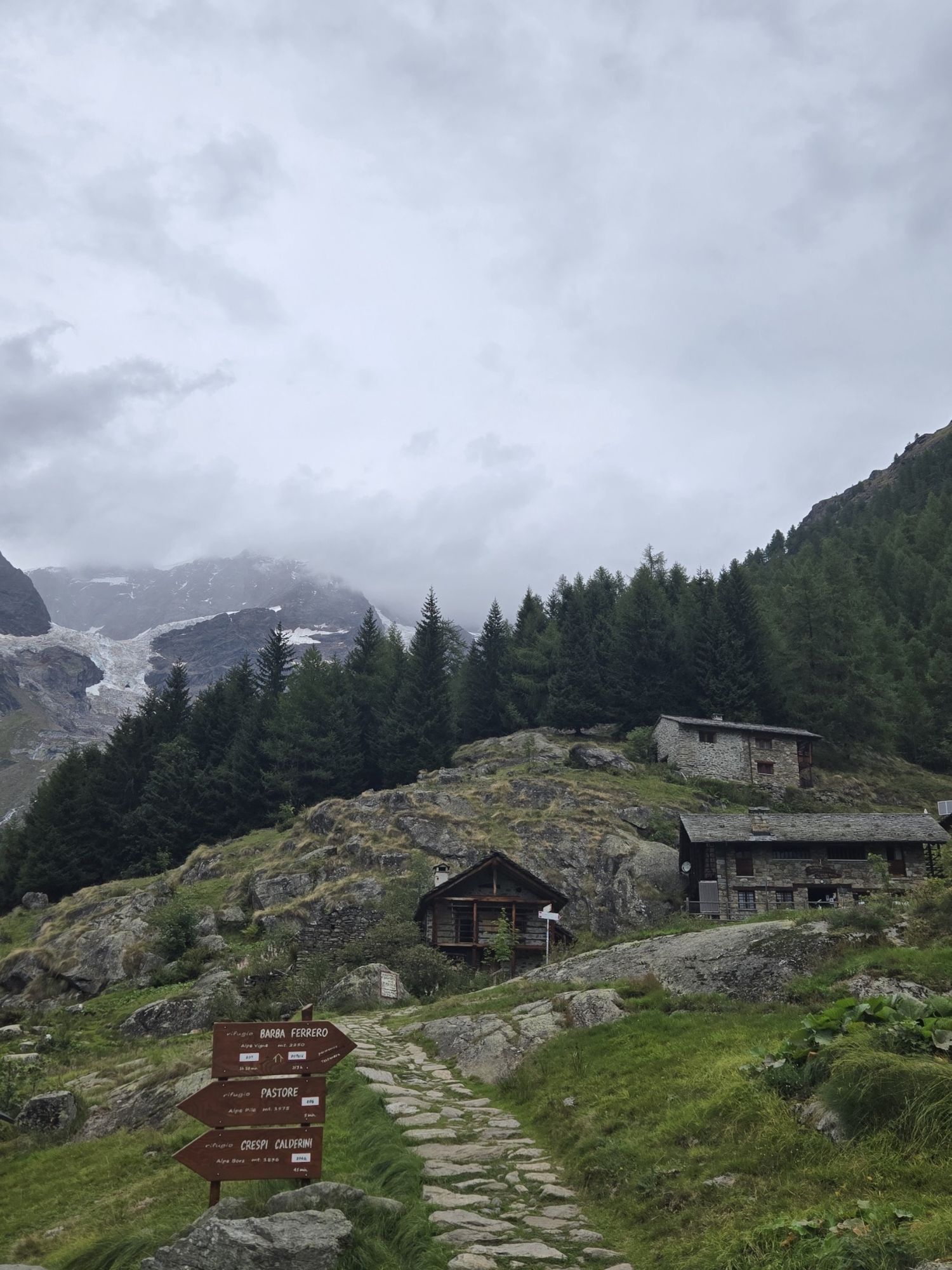
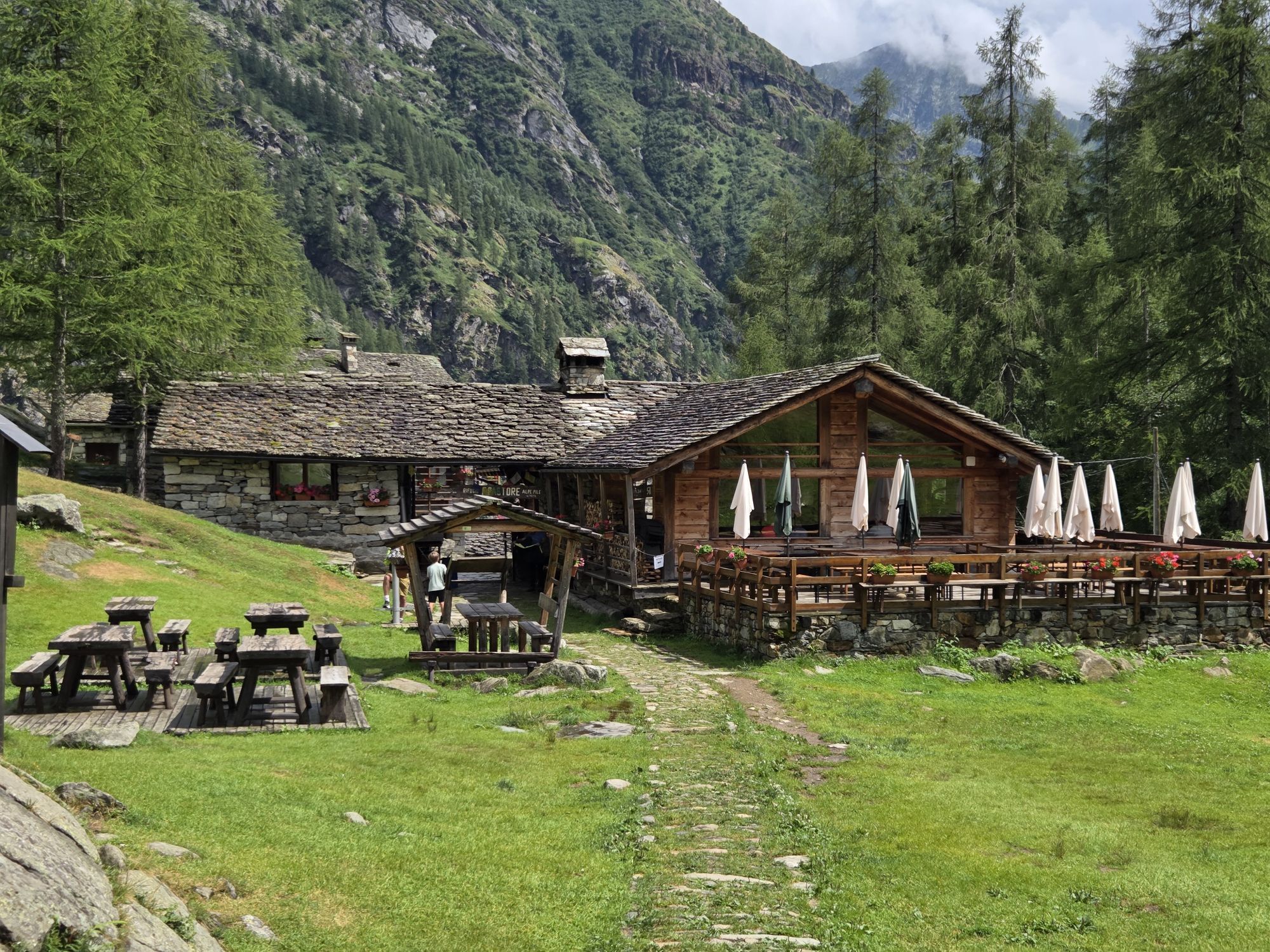
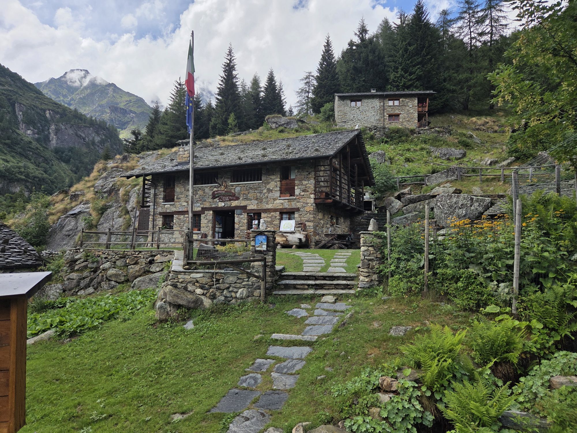
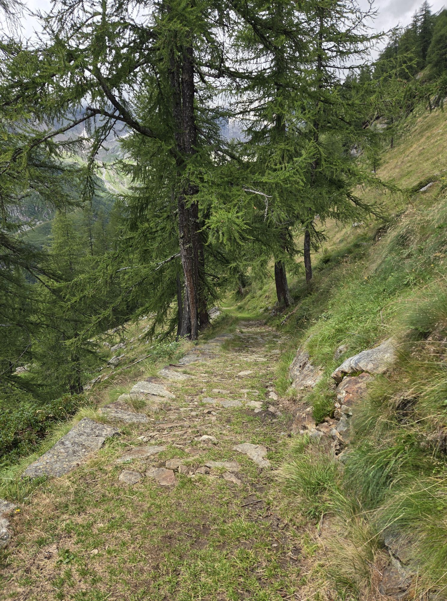
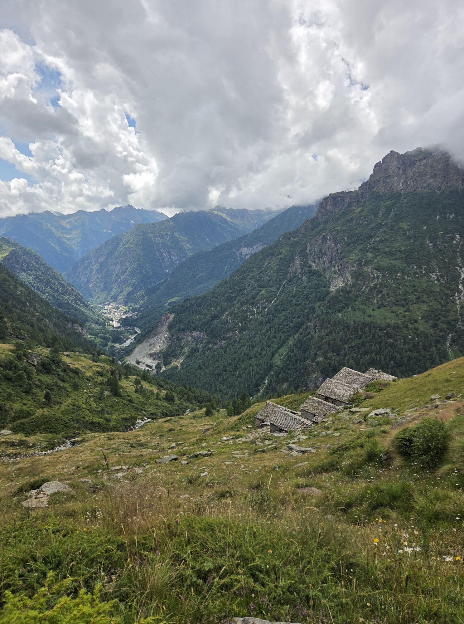
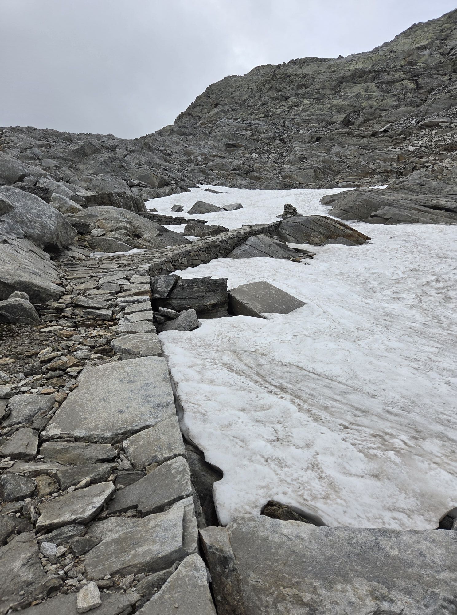
From the centre of Macugnaga cross the Anza torrent and follow the dirt road on the right hydrographic bank which passes through Ronco and leads to Isella. From here, take the so-called "Sentiere delle Slitte"which leads to the lovely hillock of Motta and then to Quarazza and to Lake delle Fate (1309 m). From the dam, continuing on a comfortable road among larches and firs, you reach the area called "Crocette" better known as "Citt Morta" which is home to testimonies of ancient gold working (1460 m). You then walk through a coniferous forest and come to the junction with the trail which climbs to the right for Colletto del Pizzo Nero (B39); continue straight on a slight slope as far as the bridge over the Quarazza torrent at "Pr di Lanti". Move to the opposite side of the valley, and leaving Alpe Piana (1613 m) to the left, start the long climb on the military mule track built at the end of the 1920s that with a series of hairpin bends takes to Alpe Schena (2005 m). Then on a gentler slope you reach the Emiliano Lanti bivouac (to the right of the trail) to resume the climb towards Colle Del Turlo (2738 m), historic connection point between Macugnaga and Alagna placed between Corno Piglim to the south and Corni di Faller to the north. Start to descend on the Sesia Valley side reaching the lakes of Turlo in a short time. The mule track continues to descend with wide bends and, transiting not far from Alpe Grafenboden, leads to Alpe Faller (1984) where you meet the junction with trail 207c which to the left takes to Colle Piglim. Keep right and reach Alpe Mittlentheil on this side (1943 m) where you meet trail 207d that climbs to the right to Alpe Testanera and to the Barba-Ferrero Refuge at Alpe Vigne. Continue on the military mule track with wide bends and, leaving the junction of route 207e headed for Alpe Kegno to the right, you reach the junction that descends to the right (207f) to Alpe Fum Bitz, Casa del Parco and to the Pastore Refuge at Alpe Pile. Having crossed the Sesia, in a short time you reach the Refuge at a height of 1575 m.

Spletne kamere s turneje
Staffa - Piazza Municipio
Pianalunga
Seggiovia Bocchetta
Seggiovia Bocchetta
Punta Grober
Seggiovia Cimalegna
Seggiovia Cimalegna
Seggiovia Cimalegna
Seggiovia Cimalegna
Pianalunga
Pianalunga
Alagna - Frazione Bonda
Alagna - Frazione Bonda
Piste Cimelagna und Bodwitch
Piste Cimelagna und Bodwitch
Piste Cimelagna und Bodwitch
Piste Cimelagna und Bodwitch
Piste Cimelagna und Bodwitch
Bocchetta delle Pisse
Salati Pass
Macugnaga - Valle Anzasca
Seggiovia Cimalegna
Seggiovia Cimalegna


Priljubljeni izleti v okolici
- 5,0
Monte Rosa - Signalkuppe
srednjaVisokogorska tura 12,7 km - 4,5
Quintino Sella al Felik 16 08 22
srednjaPohodništvo 4,42 km - 3,0
Mattmark - Monte Moro - Macugnaga
Pohodništvo 10,6 km Around the Mattmark Reservoir in the Saastal
svetlobaPohodništvo 8 km- 2,0
Staudamm Mattmark - Distelalp - Tälliboden - Ofental - Staudamm Mattmark
Pohodništvo 8,01 km - 3,7
Rotenboden - Monte Rosa Hütte
težkoPohodništvo 8,04 km Gnifetti hutte - pyramide vincent
svetlobaPohodništvo 4,08 km- 3,0
Strahlhorn
srednjaSmučarska tura 17,2 km Plattje - Dufourspitze - Monte Rosa Hütte - Zermatt
težkoSmučarska tura 22,2 kmMattmark bike circular route
svetlobaMountainbike 7,87 km
Pohodništvo in sledenje


Ne zamudite ponudb in navdiha za naslednje počitnice
Vaš e-poštni naslov je bil dodan na poštni seznam.