


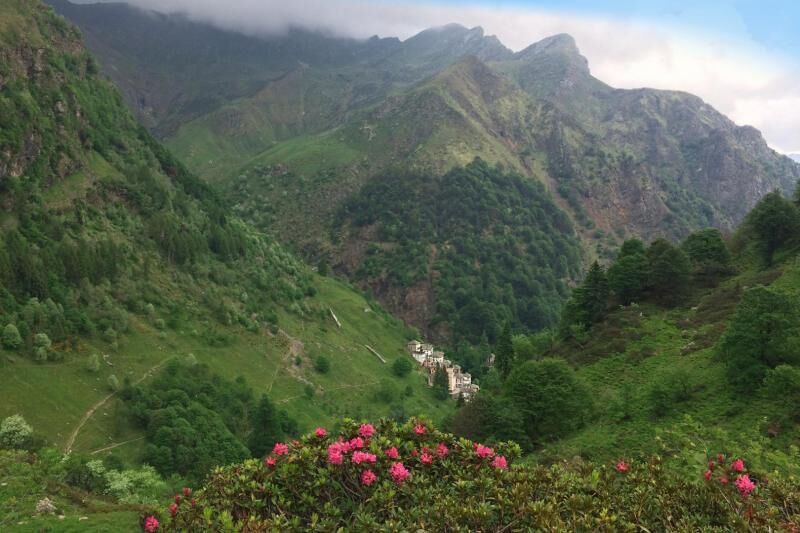
Via Geoalpina | Stage 7 Vogogna - Campello Monti
From the parish church of Vogogna in the historic town centre, go along Via De Regibus and Via San Carlo in succession to the SP 166 of Valle Ossola. Cross it and take Via Passerella, until you reach the...
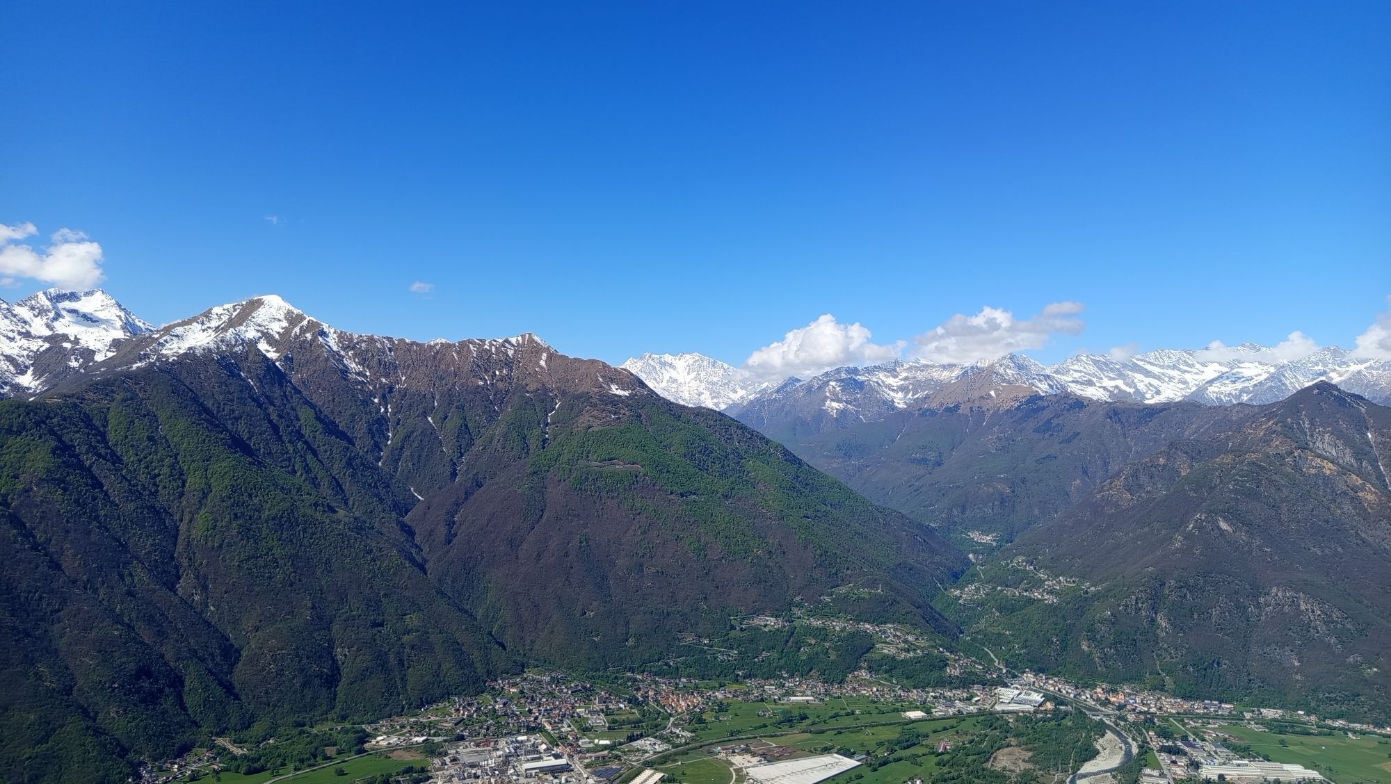
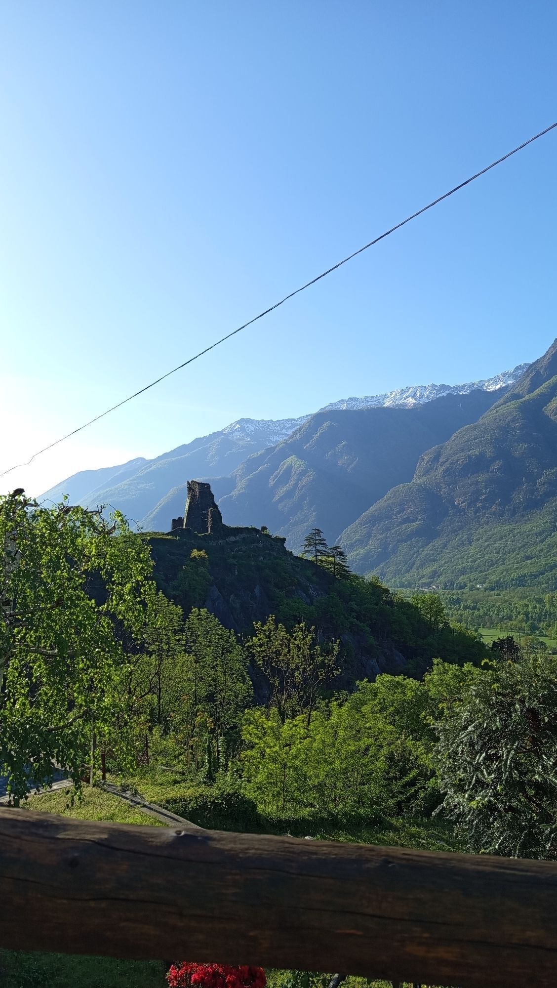
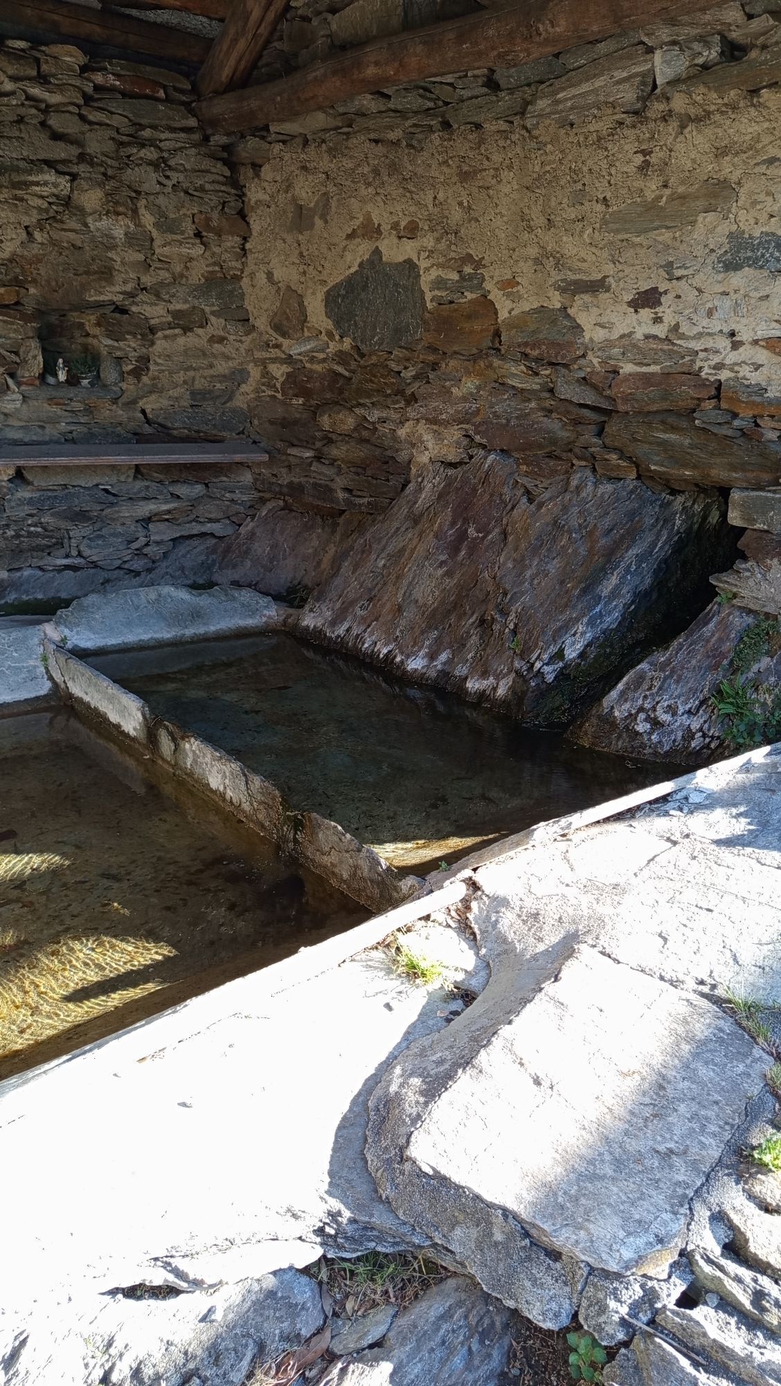
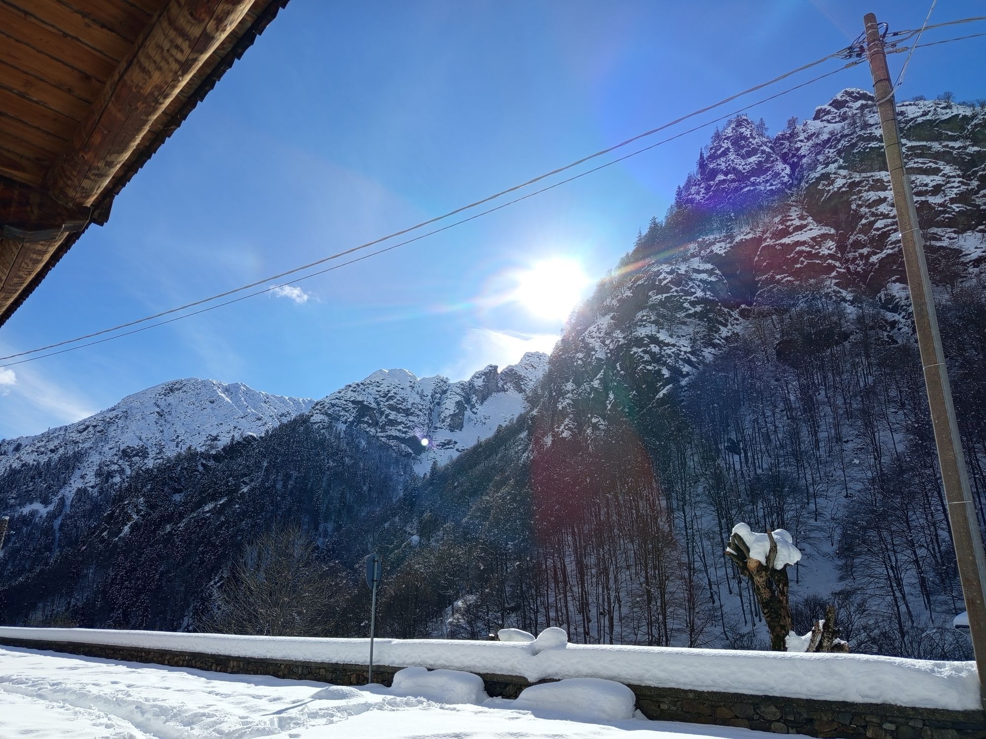
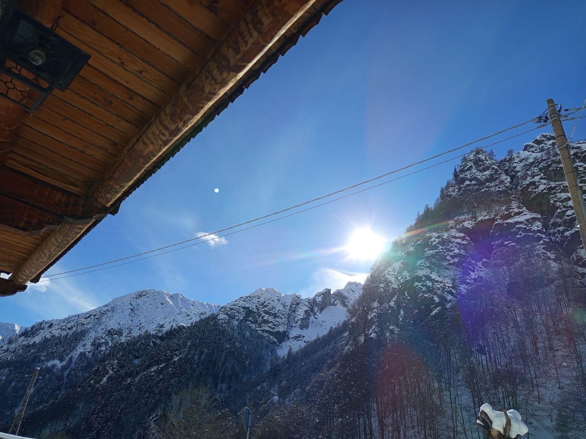
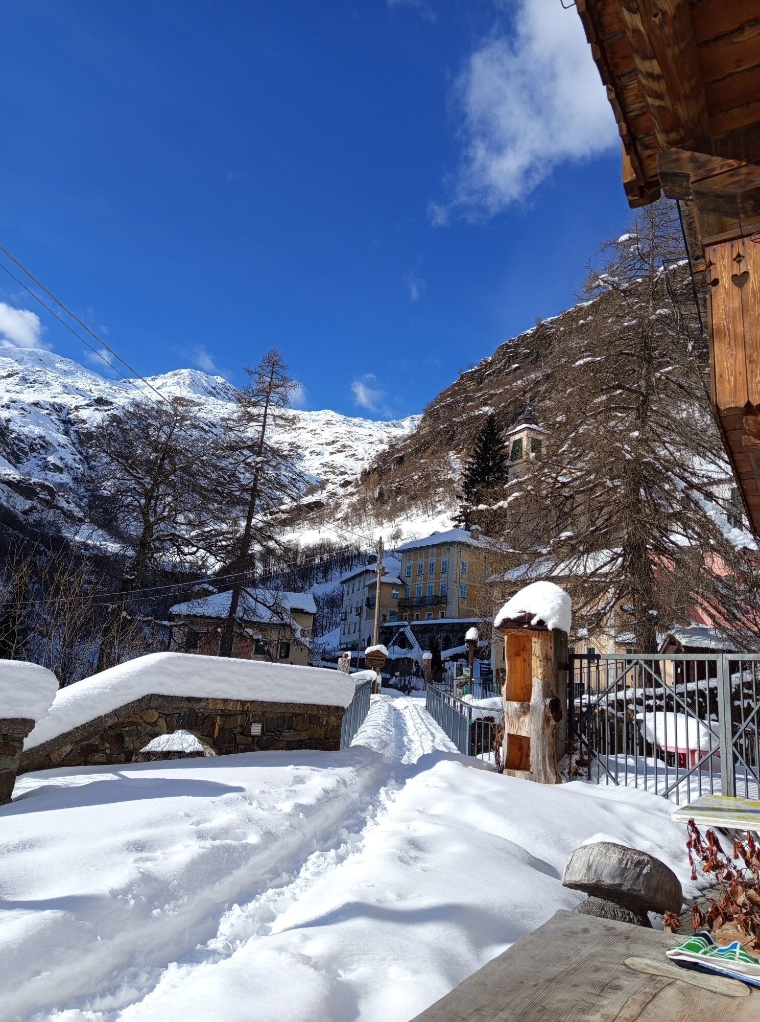
From the parish church of Vogogna in the historic town centre, go along Via De Regibus and Via San Carlo in succession to the SP 166 of Valle Ossola. Cross it and take Via Passerella, until you reach the municipal sports ground. Here you turn right, skirting the railway embankment for about 300 m, then turn left and, after another 250 m, turn right towards the River Toce, which you cross using the footbridge for mixed pedestrian/road use. At the end of the footbridge, when you reach the municipality of Pieve Vergonte, turn left and take the dirt road that first passes behind an industrial area and then, through fields and meadows, reaches the centre of Rumianca. Here you take Via Marconi, and, turning right into Via Leopardi, cross Via Roma and take Via delle Alpi, until you reach the agro-silvo pastoral road that goes up into the chestnut wood (path VBAA41). You walk along its entire length and once you reach the locality of Alpe Pianezzo, the path turns left, continuing on a sloping ground until you reach Alpe Mazzucchero, where there is a water fountain. Going around Alpe Mazzucchero, the path starts climbing again in the beech wood until firstly reaching Alpe Negarei, where the beech wood becomes that of alpine shrub of alder; then Alpe Pian Lago, where there is the homonymous and always open bivouac of the municipality of Pieve Vergonte. From Alpe Pian Lago, you can admire a wide panorama of the mountains of the Val Grande National Park and the valley of the River Toce, before continuing in an easterly direction along the VBAB97 path that leads to the Ravinella Lake at 1970 m above sea level. From here you shortly reach the nearby Colle di Ravinella, which accesses the Strona Valley and, through high altitude meadows, begins the descent on the VBAZ99 path towards Campello Monti. During the descent there is a first fork near Alpe Cunetta di Sopra, where you must keep right and continue for about 30 minutes until Alpe Cunetta di Sotto. From Alpe Cunetta di Sotto, the itinerary continues downhill through meadows and, fording the Chigno stream, intersects the path that goes up to Montagna Ronda, continues downhill and, after Alpe Orlo, arrives near Campello Monti, where an easy mule track goes shortly to the village, where the itinerary ends.

Priljubljeni izleti v okolici
-
Monte Faiè
srednjaPohodništvo 6.37 km -
2.0
Alpe Quaggione - Monte Massone - Alpe Quaggione
srednjaPohodništvo 15.8 km -
Grande Traversata delle Alpi - GTA: Tratto Nord Piemonte
težkoPohodništvo 181.3 km -
5.0
Via Geoalpina | Stage 6 Alpe La Colma - Vogogna
srednjaPohodništvo 13.2 km -
Montofano - Mergozzo, Piemonte/Italia
srednjaPohodništvo 8.61 km -
Alpe Piè di Baranca - Colle d'Egua
srednjaPohodništvo 12.2 km -
Via Geoalpina | Stage 5 Alpe Scaredi - Alpe La Colma
srednjaPohodništvo 12.0 km -
Via Geoalpina
težkoPohodništvo v daljavo 90.8 km -
5.0
Cerano Poggio Croce
srednjaPohodništvo 10.4 km -
3.0
Omegna Valley cycle
srednjaE-kolesa 38.8 km
Pohodništvo in sledenje


Ne zamudite ponudb in navdiha za naslednje počitnice
Vaš e-poštni naslov je bil dodan na poštni seznam.