



PRAGELATO Clot de la Soma

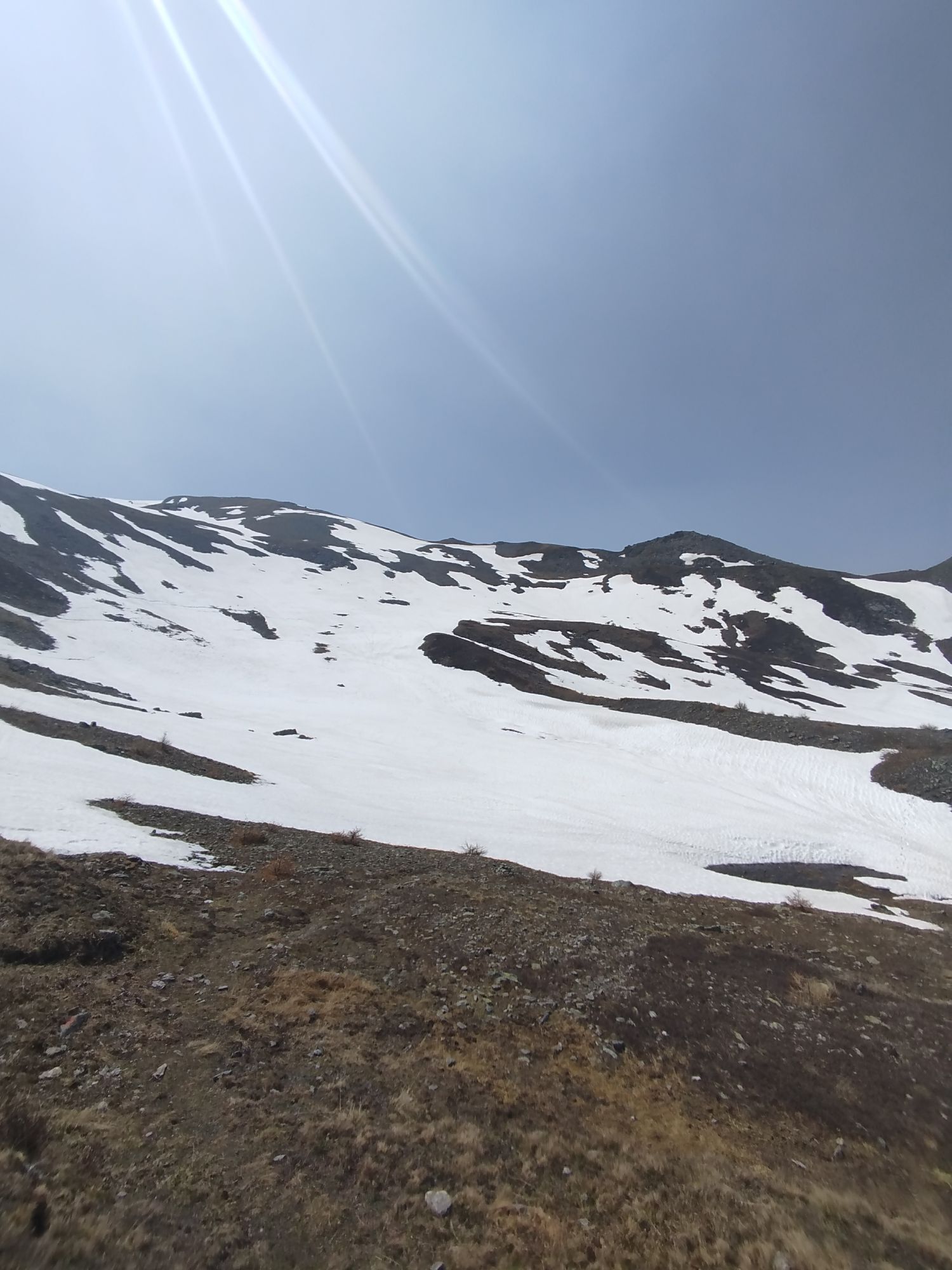
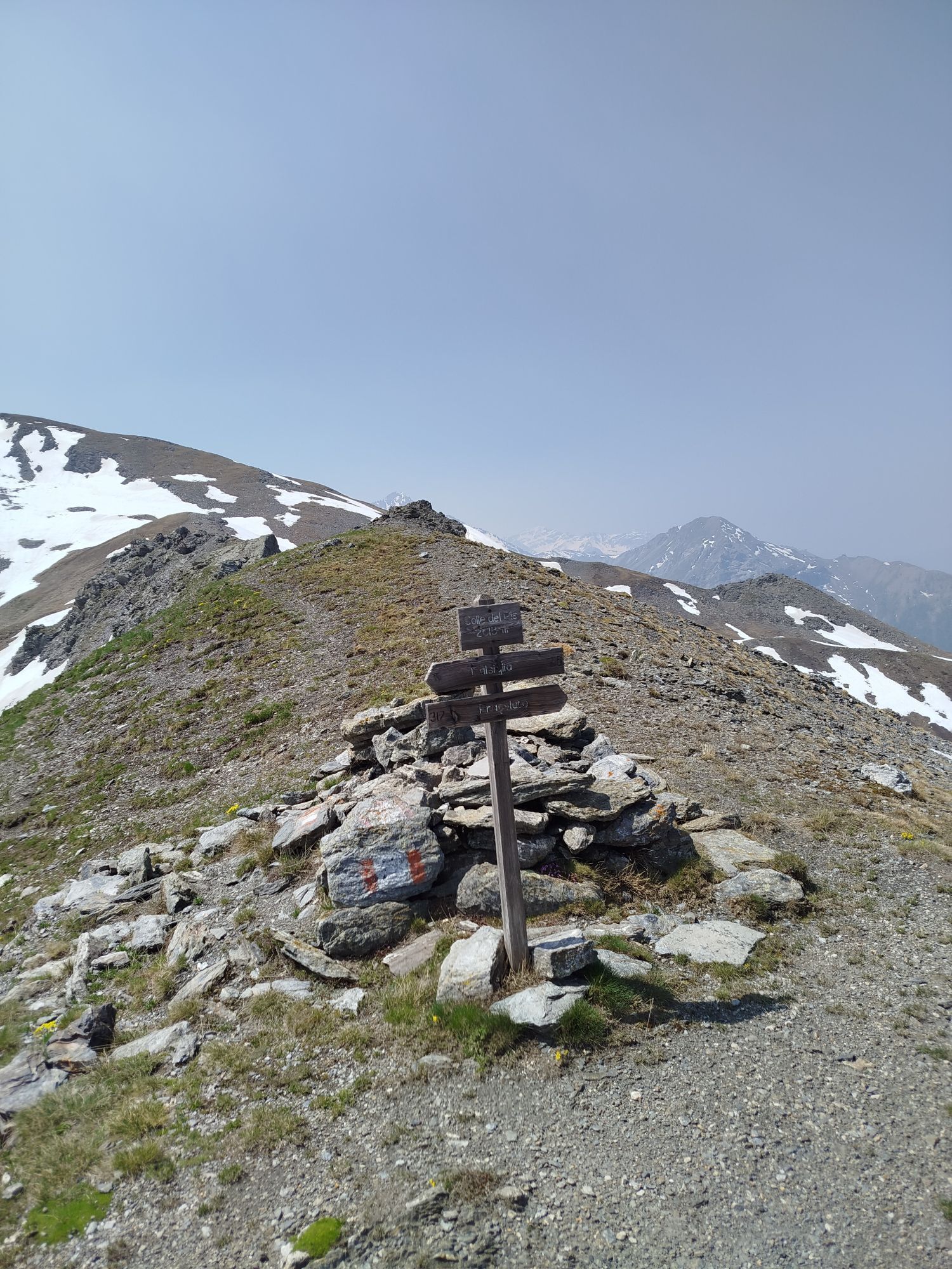
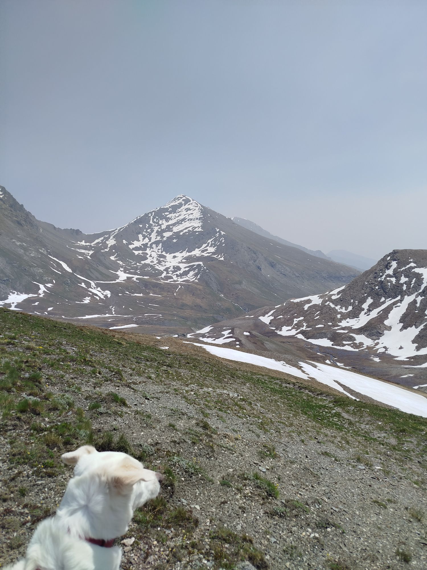
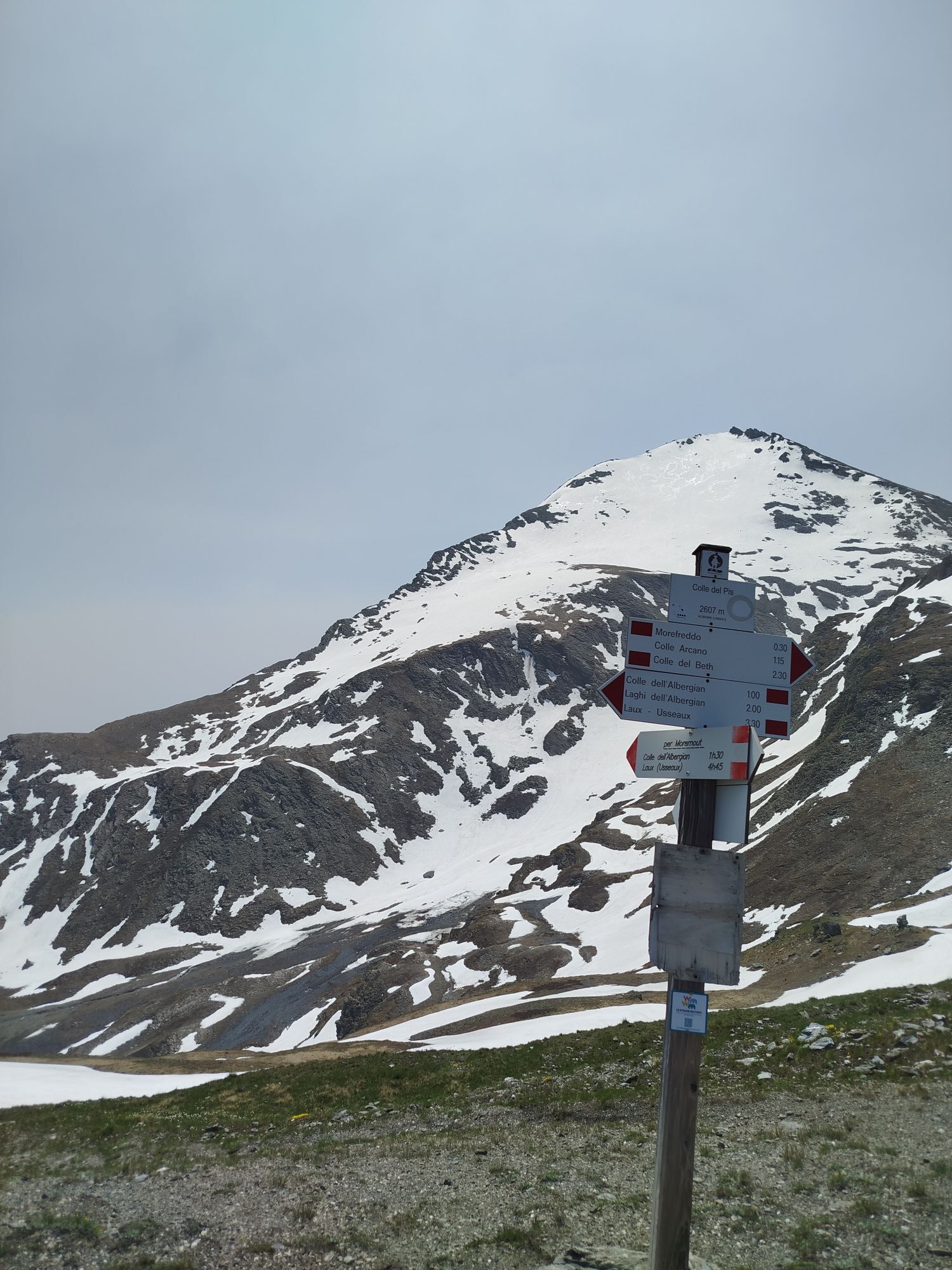
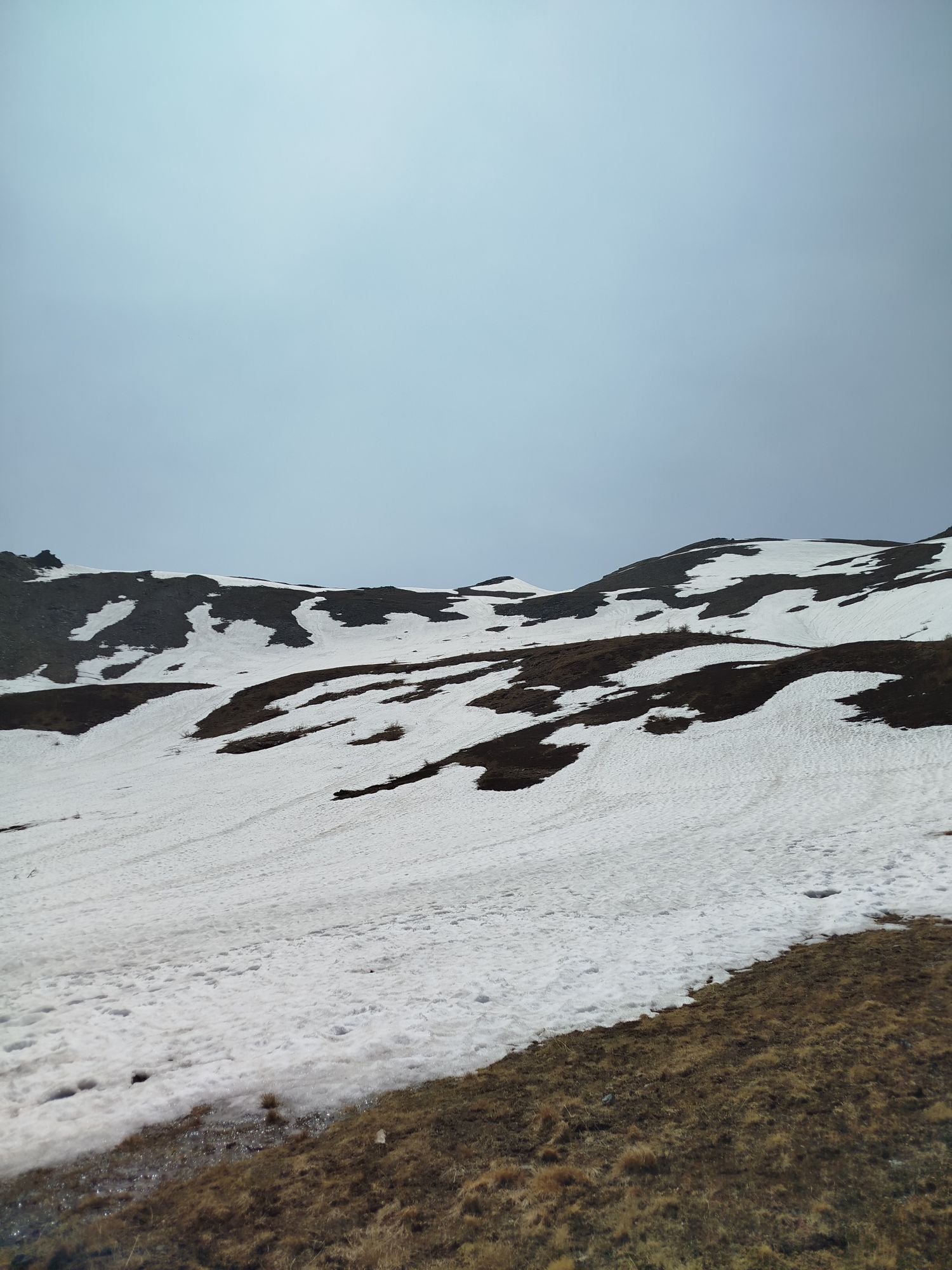
Medium-easy and short route on a gravel road, excellent for filling a half day or as a quick training. It takes well-trained bikers up high enjoying unspoiled panoramas and nature. From the village of...
Medium-easy and short route on a gravel road, excellent for filling a half day or as a quick training. It takes well-trained bikers up high enjoying unspoiled panoramas and nature. From the village of Pragelato, trampoline area, take the road towards Plan and climb towards Val Troncea turning left to the hamlets Laval and Joussaud. The climb will take us above the old cable installations of Pragelato up to the summit of Clot de la Soma.
Option to extend and reach up to the ridge of Colle del Pis following the ascent of the former ski lift “Smeraldo”, then descending towards Pattemouche.
Beautiful view of the valley and Pragelato. From the summit in 20/30 minutes you are back in town
Description and technical support by Matteo Blanc - cycle touring guide, and Beatrice Griot - nature guide.



From the village of Pragelato in the vicinity of the ski lifts take the road in the direction ofPlan, where we will ascend towards Val tronceaopt we will go to the hamlets Laval and Jousseax.The ascent will take us upstream of the old cableways of pragelato to the arrival of the old chairlift.Possibility of reaching the crest of Colle delPis by following the ascent of the " Smeraldo" ski lift,then descend towards pattemouche.
Da
Route suitable for MTB
Road also heavily used by hikers - keep speed under control and pay attention.
Bus Arriva line 275 - Stop La Ruà or Plan
Near the village of Laval, you can find some water points and the Mulino di Laval Refuge for possible rest and/or refreshment (check opening times)
Along the route you can admire Punta Banchetta, the Rognosa massif, and encounter curious marmots and other woodland inhabitants.
Spletne kamere s turneje

Priljubljeni izleti v okolici
-
BARDONECCHIA - Loop Colle della Scala - Col de Montgenèvre - Colle del Sestriere
težkoCestno kolo 91.9 km -
5.0
SESTRIERE Monte Rognosa
težkoPohodništvo 6.42 km -
5.0
La Via dei Saraceni (Sauze d'Oulx)
srednjaMountainbike 33.6 km -
SAUZE D'OULX Richardette - Montagne Seu )
srednjaMountainbike 19.9 km -
5.0
OULX Montagne Seu
svetlobaPohodništvo 5.28 km -
5.0
SESTRIERE Brugnetti-Sidoti trail rhododendron loop
svetlobaPohodništvo 5.93 km -
OULX Borgata Seu (Gran Bosco Natural Park)
svetlobaSnežni čevlji 5.93 km -
PRAGELATO Colle dell'Assietta
težkoMountainbike 53.3 km -
5.0
SAUZE D'OULX Gad (trail no. 9)
svetlobaPohodništvo 2.82 km -
5.0
CESANA T.SE Cesana - Fenils
svetlobaPohodništvo 4.60 km
Pohodništvo in sledenje


Ne zamudite ponudb in navdiha za naslednje počitnice
Vaš e-poštni naslov je bil dodan na poštni seznam.


