






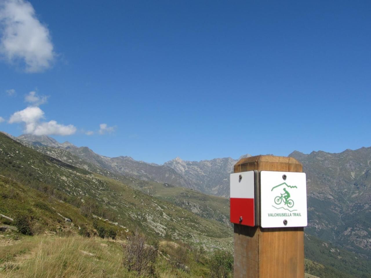
Valchiusella Trail | Stage 1

The first stage of the itinerary starts from Brosso, at an altitude of 775 m, at the intersection with the "Alta Via dell'Amphitheater Morainic di Ivrea" itinerary, continues towards the Church of San...
The first stage of the itinerary starts from Brosso, at an altitude of 775 m, at the intersection with the "Alta Via dell'Amphitheater Morainic di Ivrea" itinerary, continues towards the Church of San Michele, goes around the slope and descends again to Brosso, from which you go up towards Bocchetta del Piano and then Pian Campiglia (Vico Canavese), through dirt roads and paths. From Pian Campiglia, just below the equipped area, you go down into the woods towards the first asphalt and then dirt road that leads to the locality. Aju up to an altitude of 981 m, descends to the locality. lower Aju and goes up towards Traversella in the locality. Trick. From here it descends towards the Traversella mines (altitude 876 m) and up to the town, from which you follow the SP 66 until the downhill detour towards Prelle and Prato Roglio, from which you then go back up onto the SP which you follow until the crossroads by location Chiara mill from which you take a mule track that leads to the locality. Delpizzen, crossing the Chiusella on a Romanesque bridge (elevation 882 m). From Delpizzen you descend again in the direction of the SP, up to the Fondo/Vaudanza crossroads, the point where the stage ends (altitude 1075 m).


Coverage of all major operators.
Autostrada A5 Torino-Aosta, uscita Ivrea, ex strada statale 565, strada provinciale 64.
Da Torino: raccordo autostradale 10 Torino-Aeroporto di Caselle, uscita 3, ex strada statale 460, ex strada statale 565, strada provinciale 64.
GTT - Linea 512 Ivrea-Castellamonte-Valchiusella
Unione di Comuni Montani Valchiusella - Itinerari: www.unionevalchiusella.it/it-it/viver...
Priljubljeni izleti v okolici
- 4.0
TRAVERSELLA Souls and Transhumance Path
srednjaPohodništvo 10.0 km - 5.0
VALCHIUSELLA Loop Fondo - Tissone - Tallorno
srednjaPohodništvo 5.08 km BALDISSERO CANAVESE The Monti Pelati nature reserve
srednjaPohodništvo 7.19 km- 4.0
CAREMA Vineyard Path
svetlobaTematska pot 3.94 km SETTIMO VITTONE Colma di Mombarone from Trovinasse
srednjaPohodništvo 3.92 kmCOLLERETTO CASTELNUOVO Pian del Lupo - Quinseina di Santa Elisabetta
težkoPohodništvo 6.27 kmRUEGLIO Cima Bossola from the Cima Bossola refuge
srednjaPohodništvo 3.79 kmVALCHIUSELLA Lakes of Alice Superiore and Meugliano
svetlobaPohodništvo 7.99 kmMONTALTO DORA Terre Ballerine - In search of Lake Coniglio
svetlobaPohodništvo 5.35 kmBROSSO Monte Cavallaria
srednjaPohodništvo 8.76 km
Pohodništvo in sledenje


Ne zamudite ponudb in navdiha za naslednje počitnice
Vaš e-poštni naslov je bil dodan na poštni seznam.





