



Challenging Mountain Bike on the Morenica and Moncuni (Monte Cuneo) from the Castle of Rivoli

Stopnja težavnosti: S2
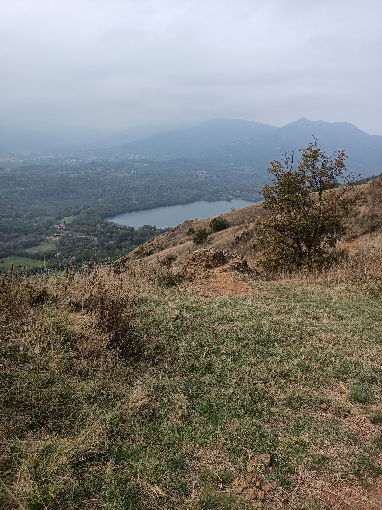
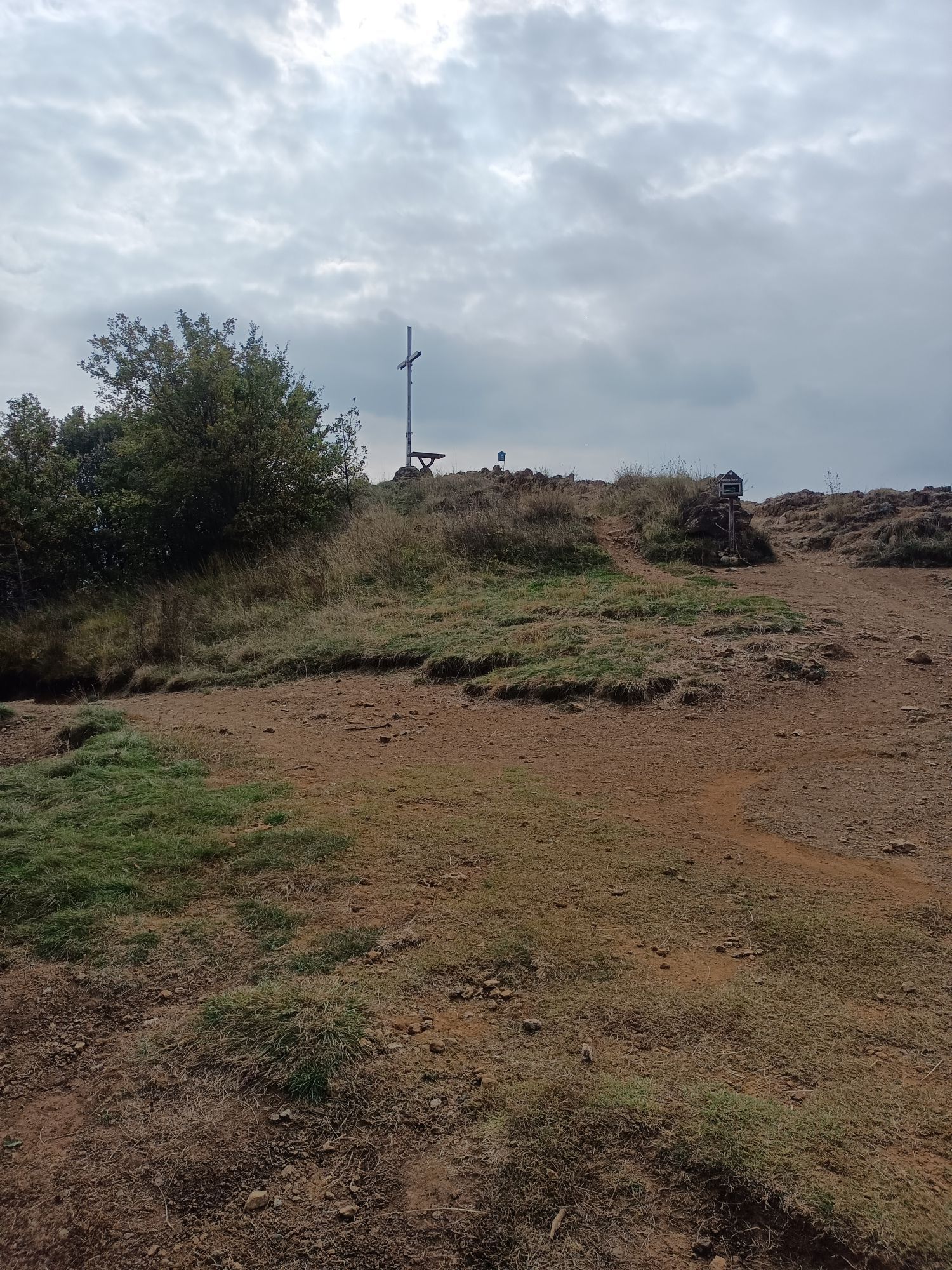
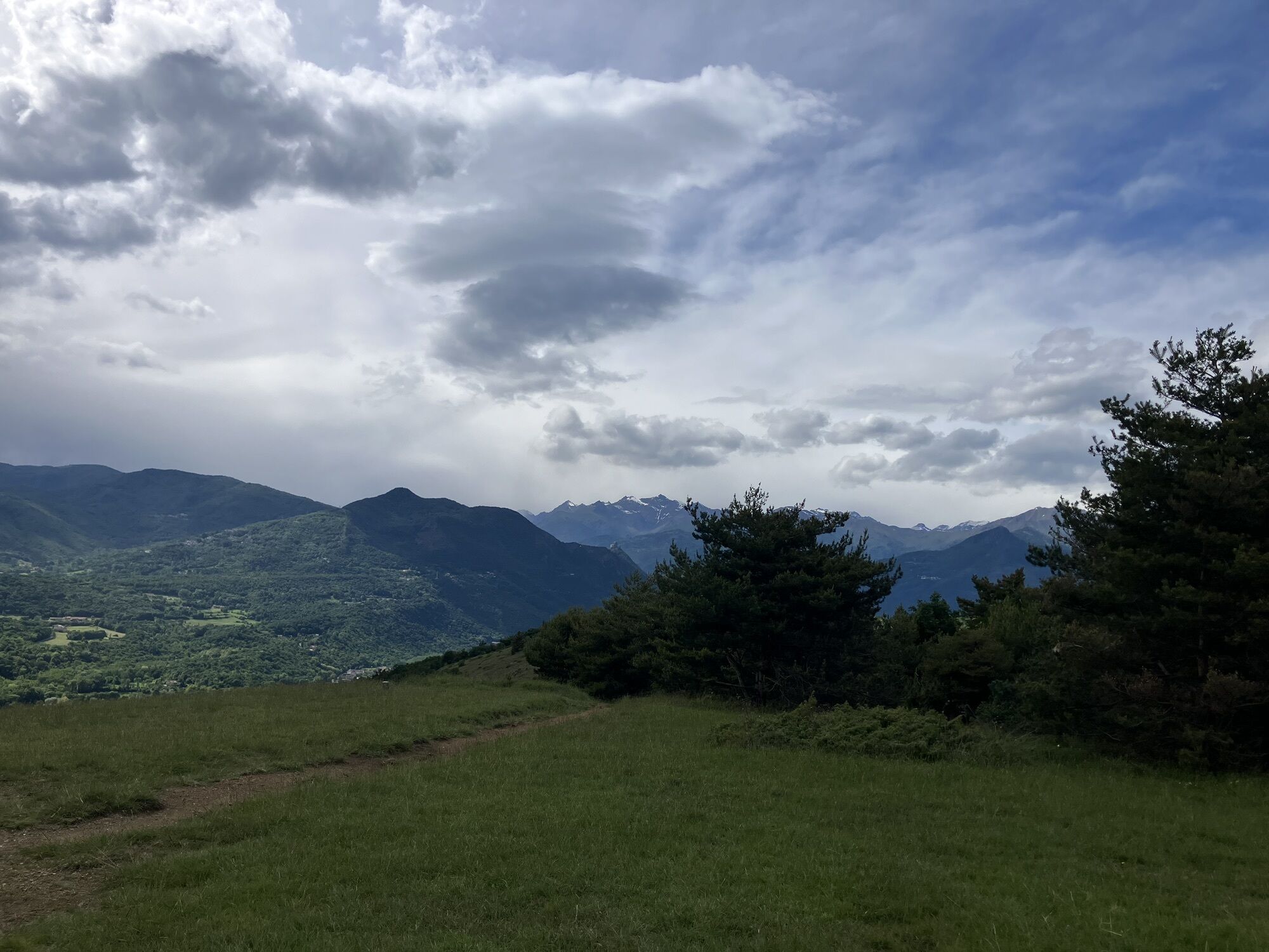
The route starts from the Castle of Rivoli and follows some trails along a ridge not far from the dirt road leading to Reano. Technical uphill and downhill sections appear already from the second km, with...
The route starts from the Castle of Rivoli and follows some trails along a ridge not far from the dirt road leading to Reano. Technical uphill and downhill sections appear already from the second km, with stones, roots, and narrow paths. After an easier stretch, the route climbs from Reano to Moncuni along the trail aptly named 'Radici' (Roots). From the summit of Moncuni, after a panoramic stop, the descent resumes with a short and steep section leading to a traverse with a view of the Avigliana lakes. With some ups and downs, the Sentiero del Tasso is then tackled, a very fun and well-guided descent that is not too steep. From Reano, a short stretch on asphalt leads back to the moraine, following a slightly easier trail on the left side (Via dei Pellegrini) that returns to Rivoli.


The route starts from the Castle of Rivoli, taking via Fontana Costero for 1.8 km. Then turn left, crossing strada Pozzetto, and follow a dirt road which splits into several trails after a few hundred meters (take the one on the right). Keep the ridge line up to km 6 of the track, when you return to the Morenica dirt road. At about km 7 turn left and cross the centre of Reano. Continue towards the church and Case Canale. Shortly after Case Canale, turn left, leaving the asphalt. Climb to the summit of Moncuni by following the steep ascent through the pine forest (Radici). From the summit, descend on the Avigliana side with a steep traverse of about 300 meters ending in a hairpin turn to the right. Follow the traverse that returns towards the ridge. Continue on the ridge up to Bal 'dle Masche. Take the first descent towards Avigliana and after about 300 meters turn right uphill towards the sentiero del Tasso, which returns to Reano. Once back on asphalt, proceed towards Buttigliera Alta for about 1 km and turn right onto Strada Comunale Reano Rivoli. After about 1 km of easy dirt road, take a stony uphill path on the left and return on the single-tracks leading to Stagno Pessina and from here to the Castle of Rivoli on easy dirt road.
Da
Da
Da
Mountain bike or E-MTB
From the centre of Turin, follow Corso Francia to Rivoli and then follow signs for the Castle. About 15/20 minutes by car from the city centre.
Rivoli is reachable by public transport from the centre of Turin, but bicycle transport is not provided.
Beyond the Castle there is a large parking area, or along the avenue towards Strada Fontana Costero.
S2
Route also passable in winter.
A few short sections may require pushing. Technical route, also uphill.
Priljubljeni izleti v okolici
-
4.7
On the summit of the magical Musiné
svetlobaPohodništvo 6.94 km -
Avigliana Lakes - Easy route, ideal for families with children
svetlobaPohodništvo 9.25 km -
CASELETTE - The Musiné loop
srednjaPohodništvo 7.52 km -
GIVOLETTO Madonna della Neve on Monte Lera
srednjaPohodništvo 6.11 km -
5.0
Unspoiled woods and ancient hamlets in Valsangone - Selvaggio Loop - Bagaggera
svetlobaPohodništvo 9.08 km -
COLLE DEL LYS Monte Arpone loop
svetlobaPohodništvo 4.50 km -
Easy route - Monte Cuneo (Moncuni) Loop route from Reano
svetlobaPohodništvo 7.97 km -
COLLE DEL LYS Alpine Loop
srednjaPohodništvo 15.3 km -
CUMIANA by MTB on the Amphitheater Path
srednjaMountainbike 32.4 km -
PINEROLO Trail "Ecomuseum of the Charcoal Piles"
srednjaPohodništvo 7.46 km
Pohodništvo in sledenje


Ne zamudite ponudb in navdiha za naslednje počitnice
Vaš e-poštni naslov je bil dodan na poštni seznam.


