







Easy route - Monte Cuneo (Moncuni) Loop route from Reano
The proposed track is 8km, but can be shortened if from the summit you follow the ascent route or other short and marked variants.
The panorama from the top of Monte Cuneo is incredibly beautiful, both...
The proposed track is 8km, but can be shortened if from the summit you follow the ascent route or other short and marked variants.
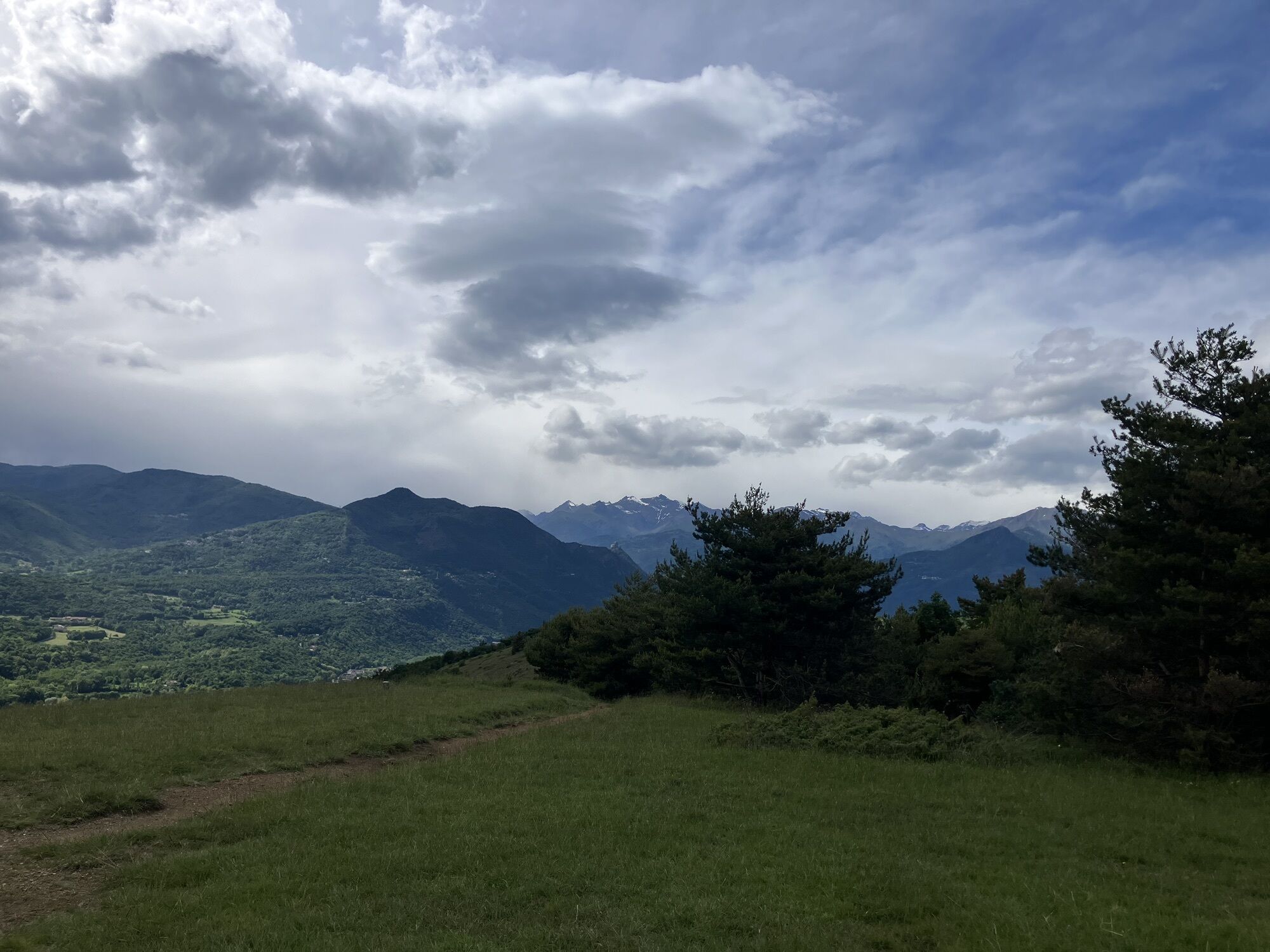
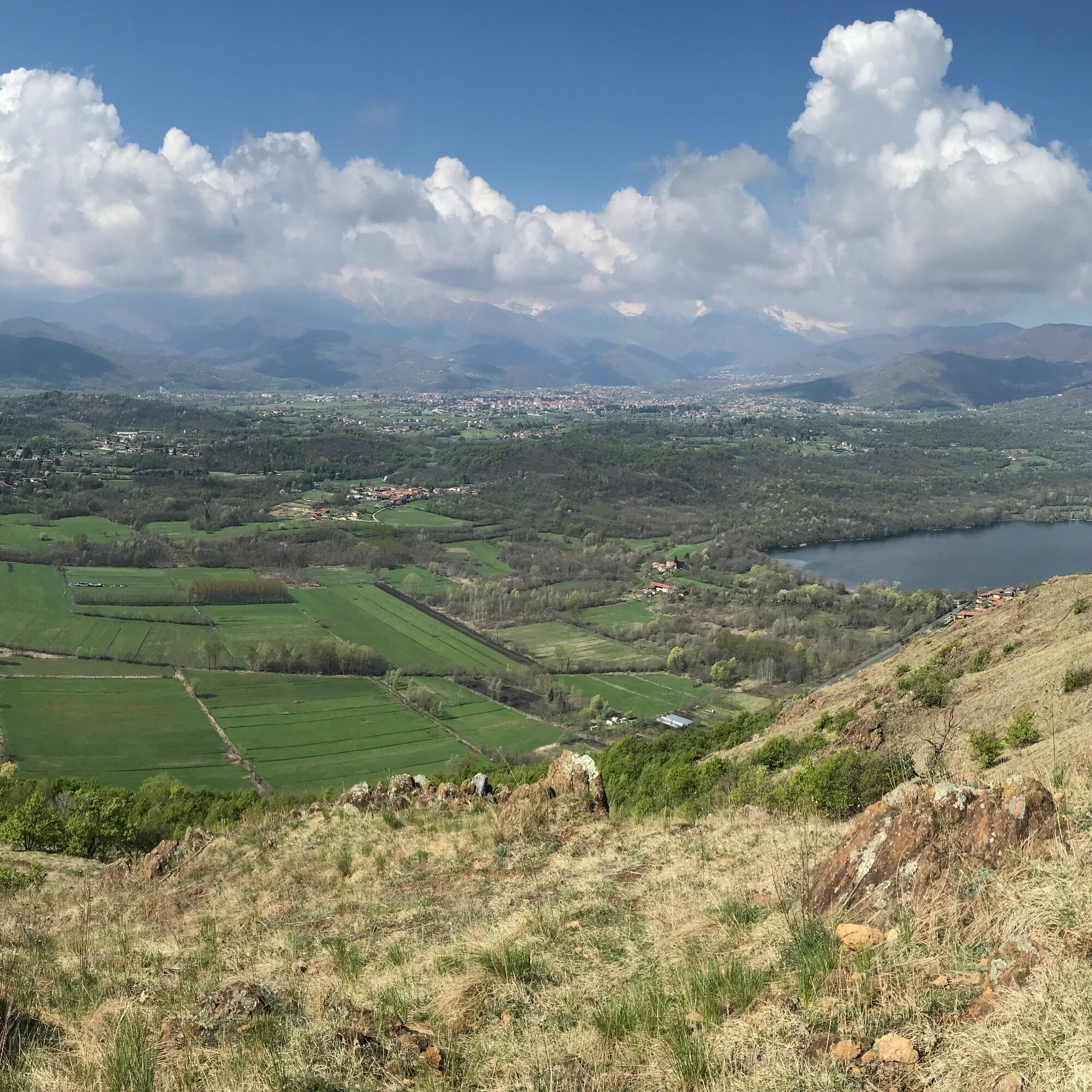
The panorama from the top of Monte Cuneo is incredibly beautiful, both towards the West, with Valsangone, Sacra di San Michele and Rocciamelone, and towards the city and the Alpine arc to the North.

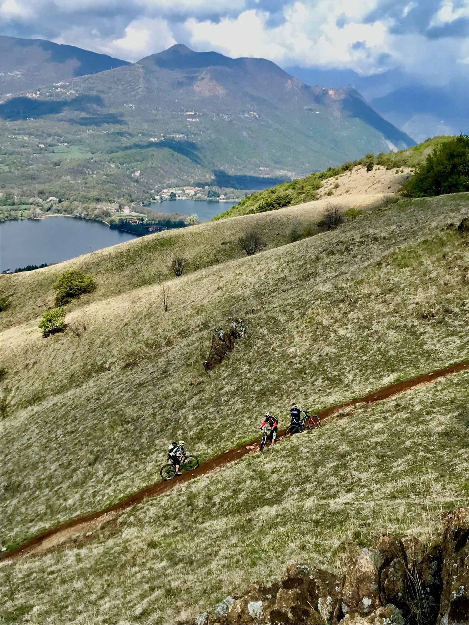
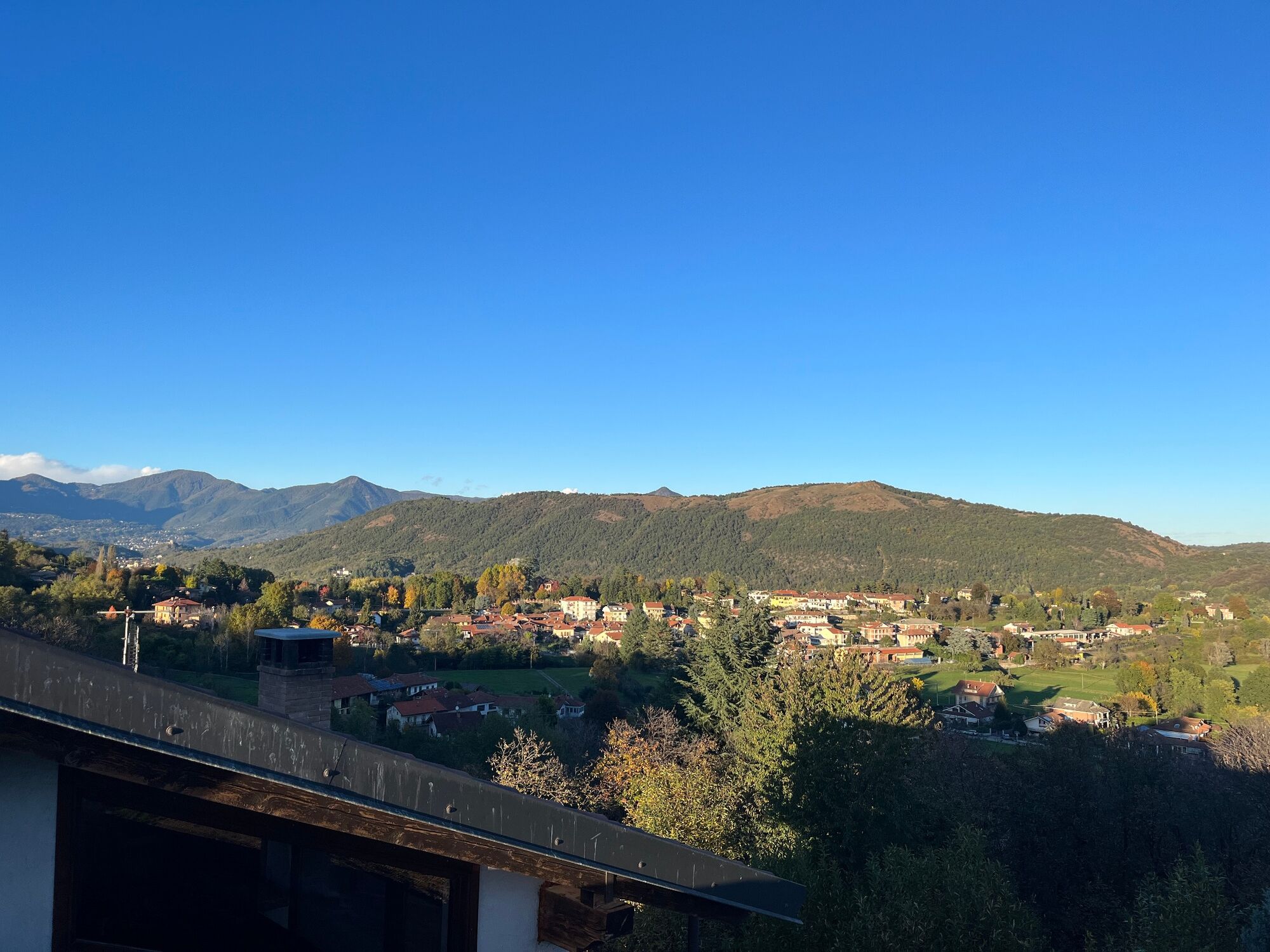
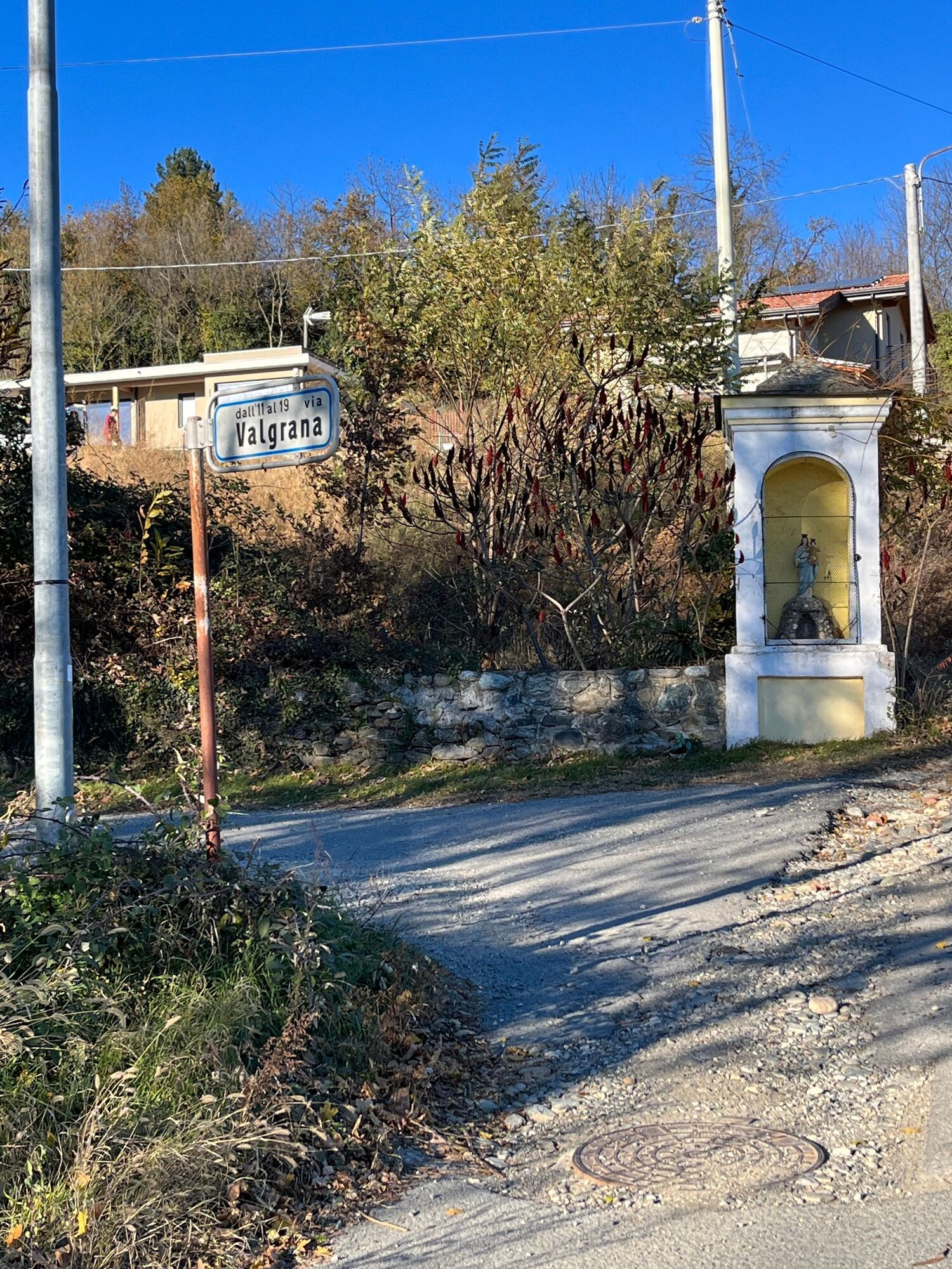
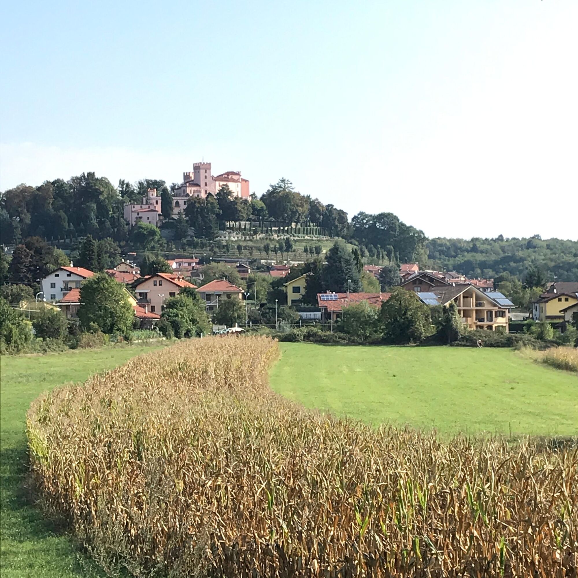
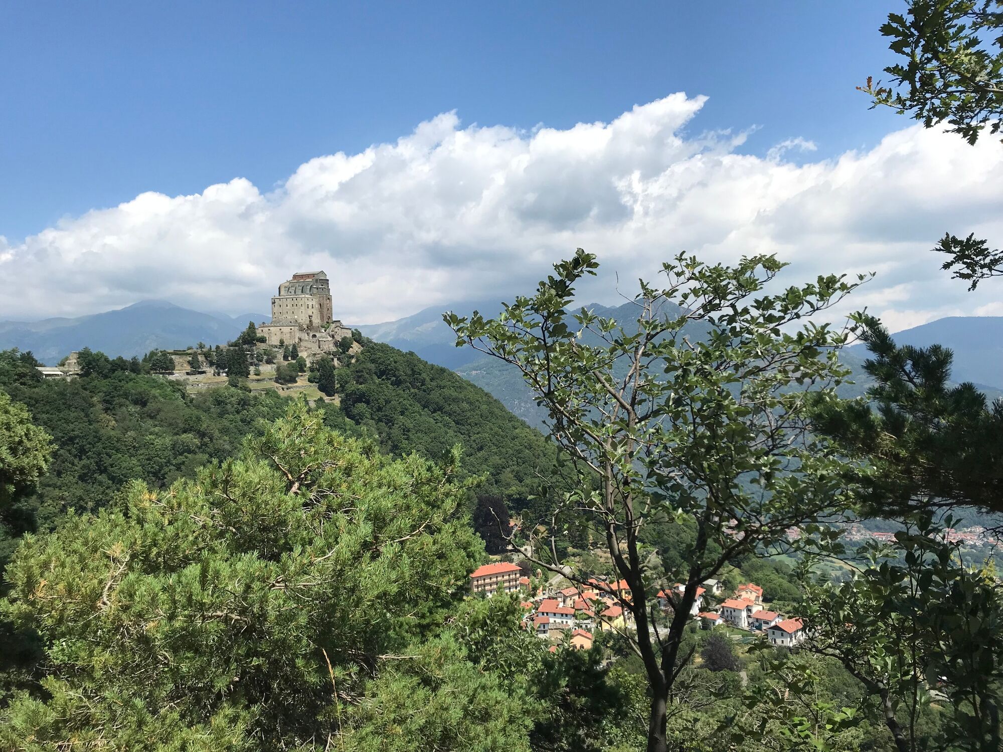
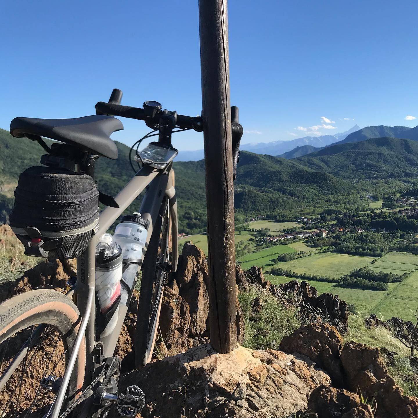
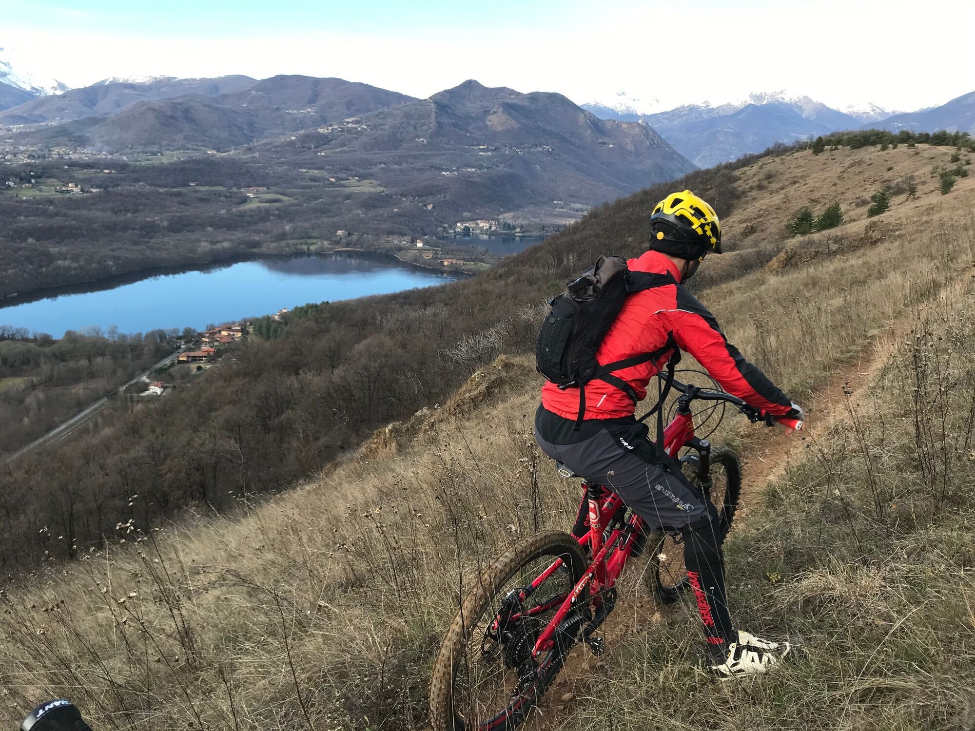
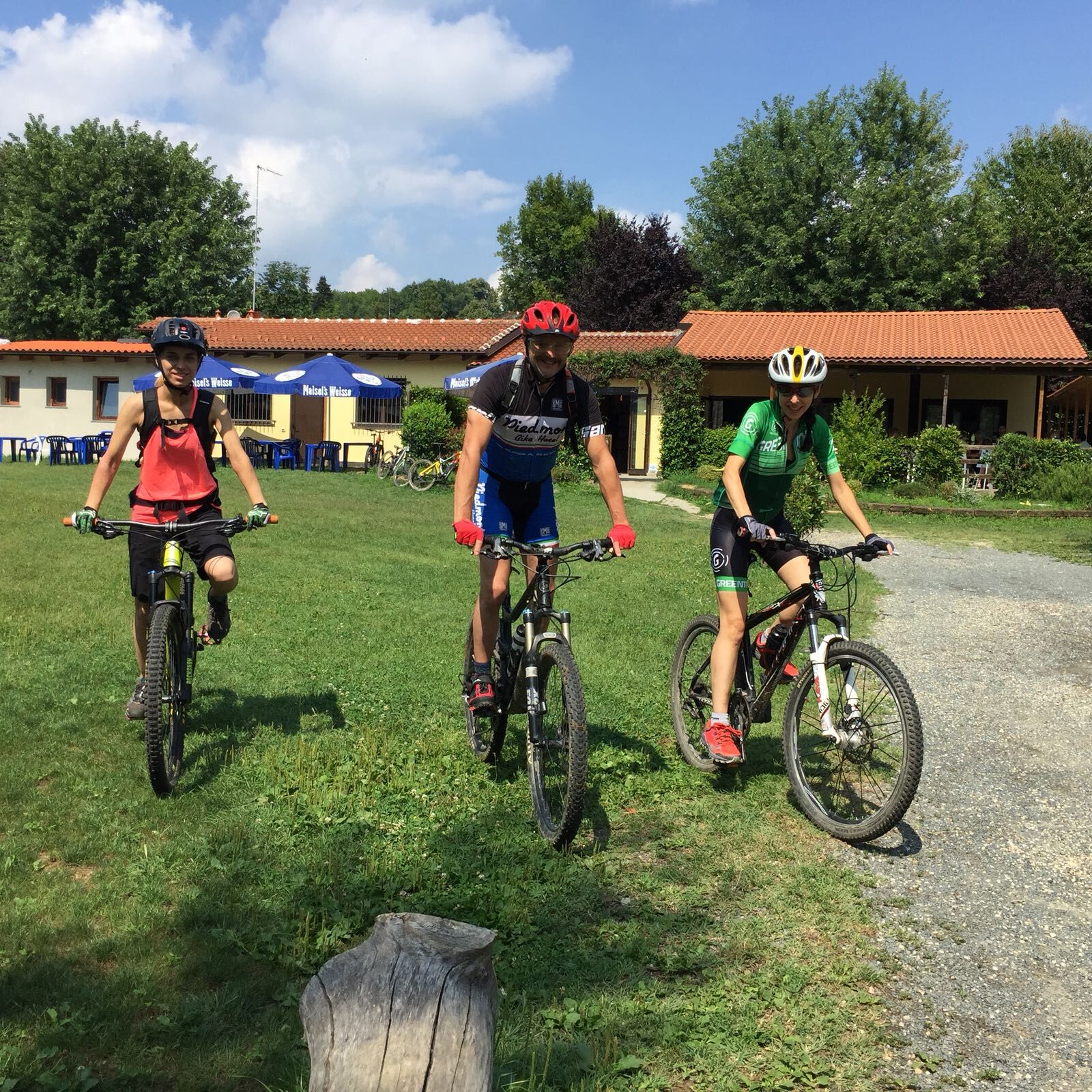
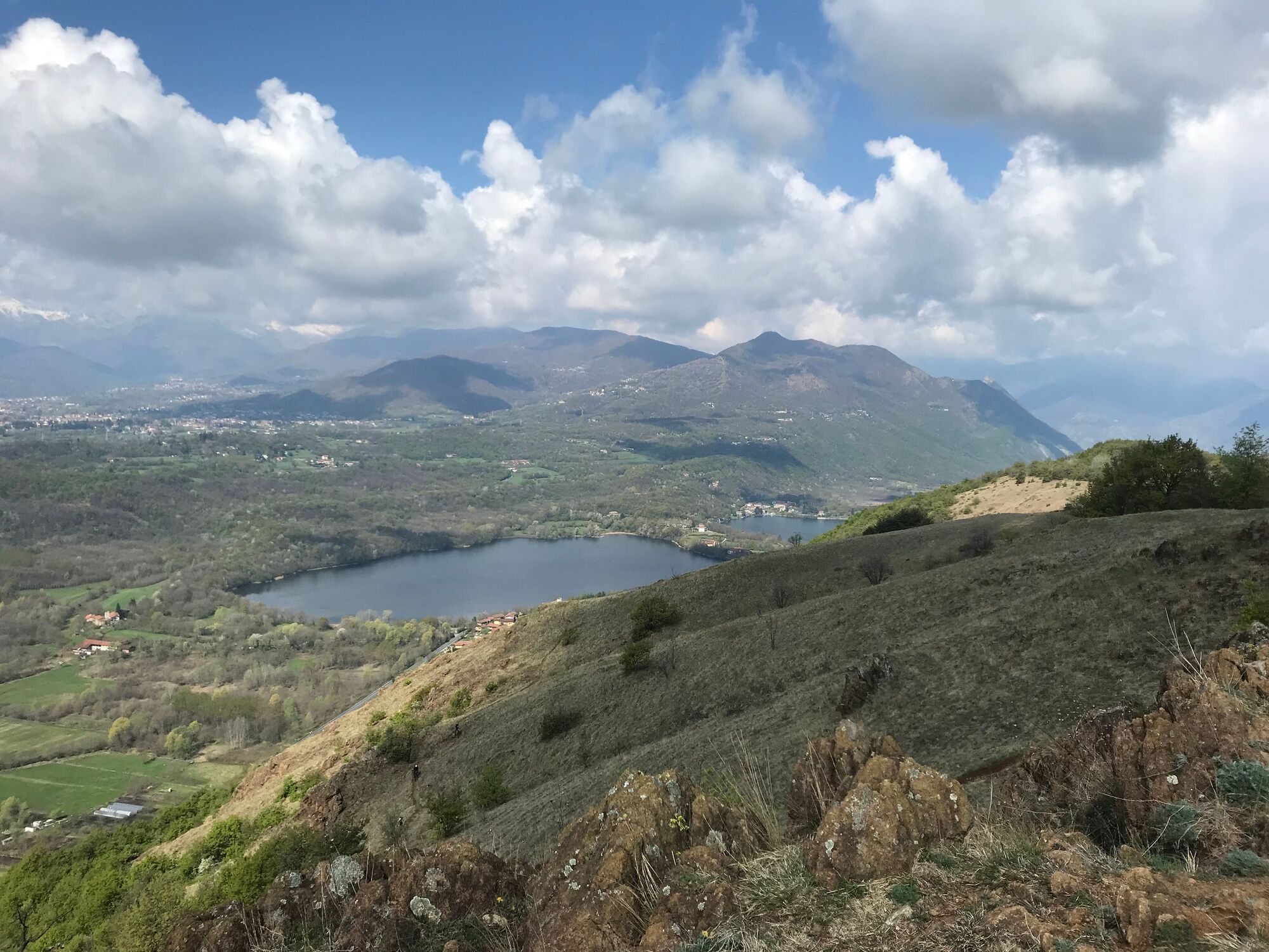
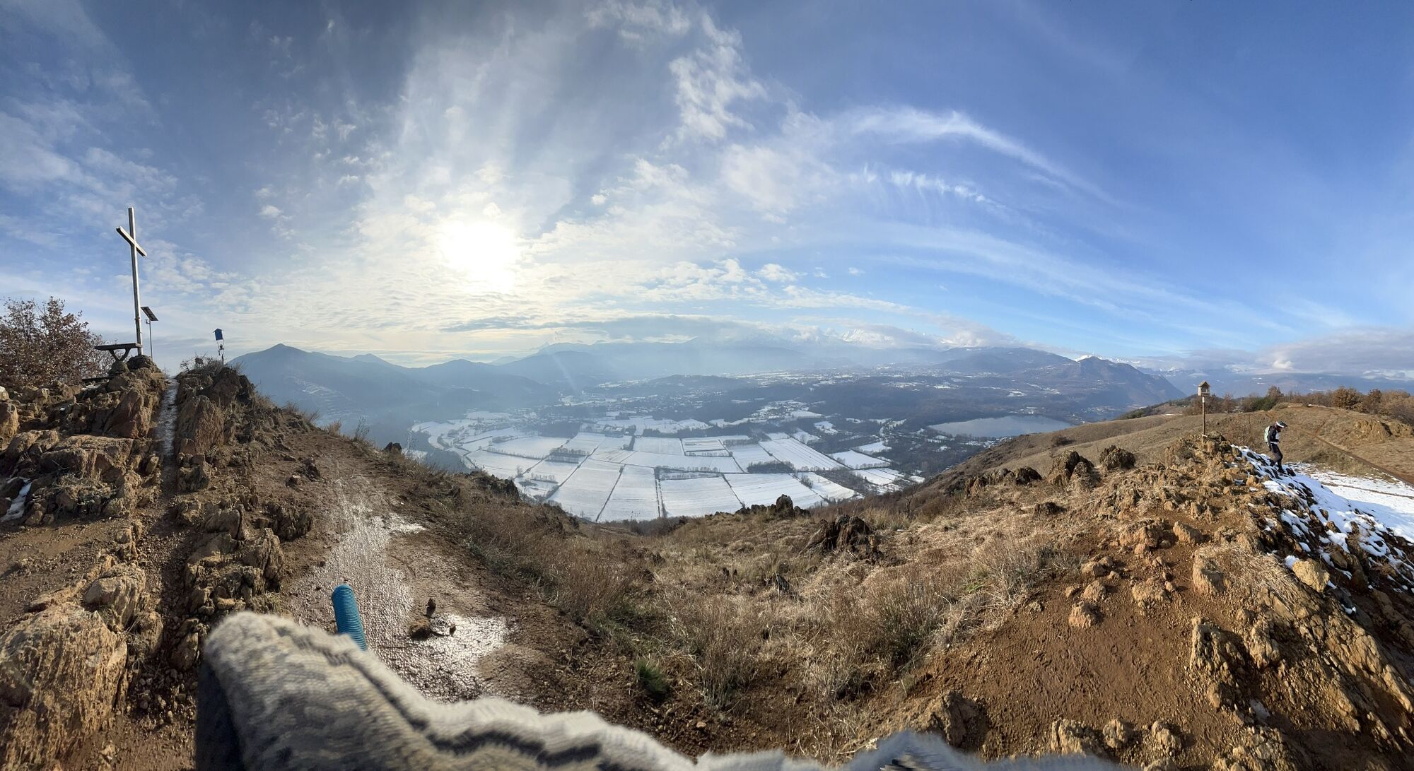
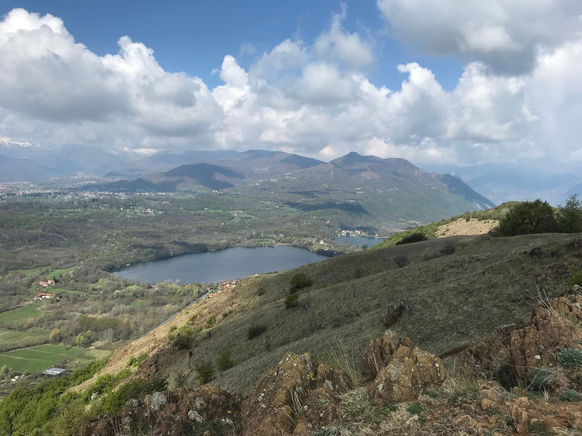

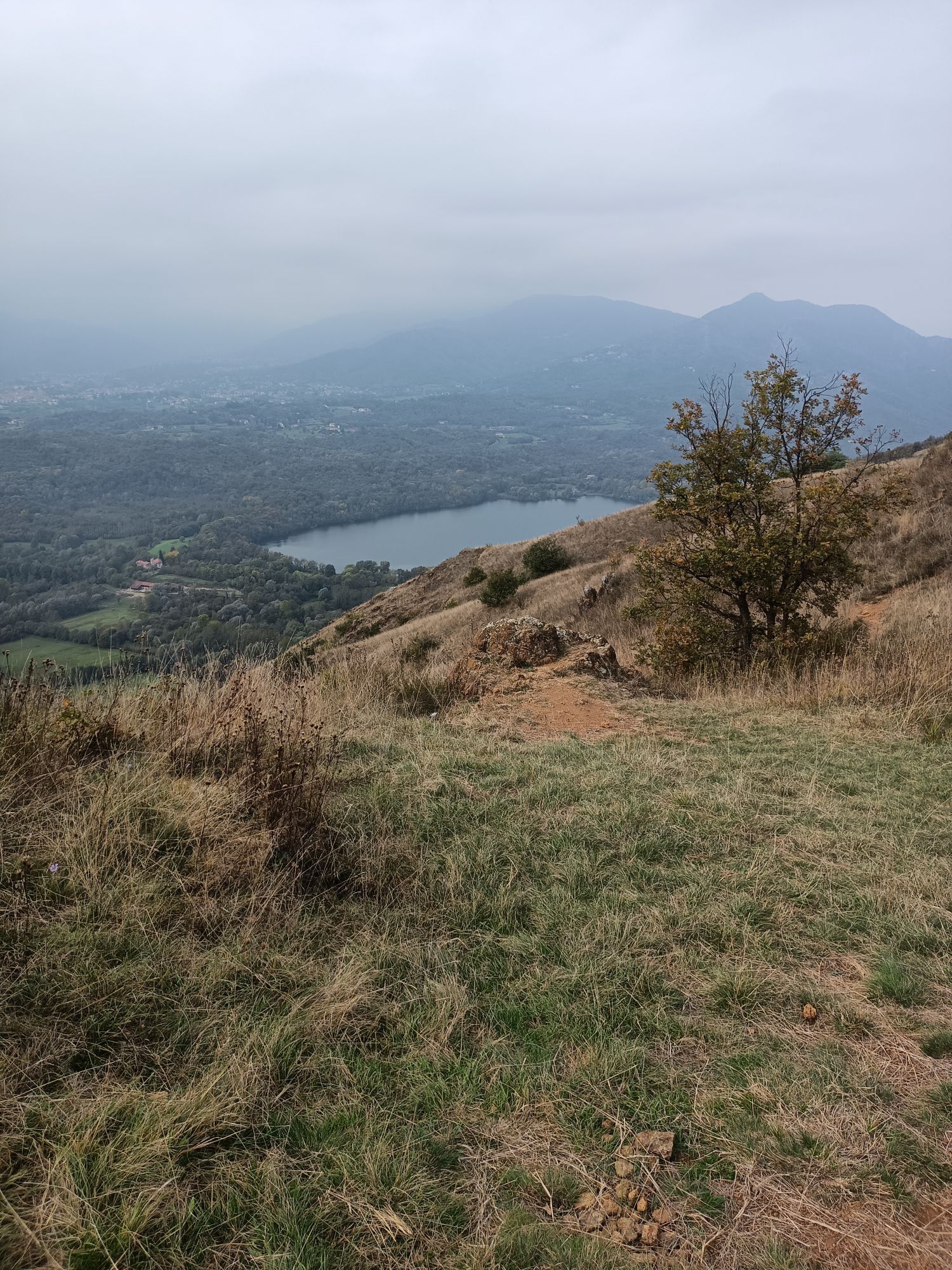
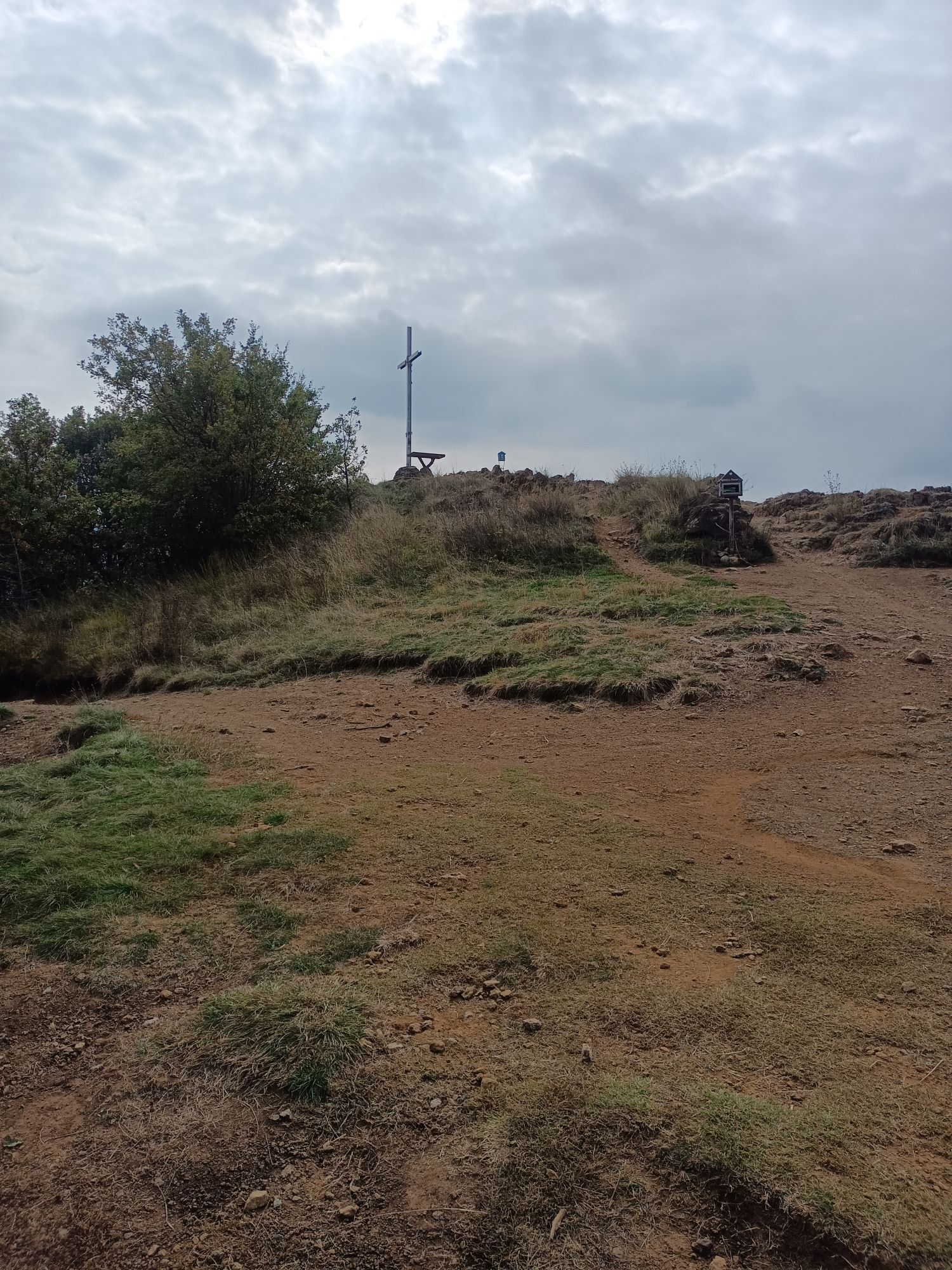
From the parking near Moncuni Park (bar and restaurant), head past the church at the top of the short asphalt climb. Continue towards Borgata Case Canale and, after the start of the ascent, still paved, turn left onto a dirt path, first flat then uphill in a pine forest with many roots above the ground. Approaching the crest, proceed to the right up to the summit. The proposed track includes a descent with a somewhat steep and eroded section, leading to a traverse in the meadows overlooking to the West, towards Lago Piccolo di Avigliana, then back to the ridge and follow it north to Bal 'dle Masche. Here, head towards Avigliana for about 300 meters and then climb up to the right to join the Sentiero del Tasso, which leads to Frazione Fiori and then back to the starting point. *To make the route even easier, from the summit, retrace your steps or follow possible variants, including a dirt road, to return directly to Case Canale and Reano.
Da
Da
Da
Trail shoes or hiking boots are more than sufficient.
By car, leave Torino using Corso Canonicvo Allamano up to Rivoli and then follow signs for Villarbasse - Reano. About 30 minutes in total from the city center.
Near the Moncuni Park bar restaurant
Choose a clear day for the panorama or an autumn day to pick chestnuts. The route is also very beautiful at night, but in the dark it is recommended only for those who already know the paths well.
Priljubljeni izleti v okolici
-
4.7
On the summit of the magical Musiné
svetlobaPohodništvo 6.94 km -
Avigliana Lakes - Easy route, ideal for families with children
svetlobaPohodništvo 9.25 km -
CASELETTE - The Musiné loop
srednjaPohodništvo 7.52 km -
GIVOLETTO Madonna della Neve on Monte Lera
srednjaPohodništvo 6.11 km -
5.0
Unspoiled woods and ancient hamlets in Valsangone - Selvaggio Loop - Bagaggera
svetlobaPohodništvo 9.08 km -
COLLE DEL LYS Monte Arpone loop
svetlobaPohodništvo 4.50 km -
A walk in the Megalithic - The Menhirs of Pietraborga - Direct route from the Torrioni
srednjaPohodništvo 9.30 km -
CUMIANA by MTB on the Amphitheater Path
srednjaMountainbike 32.4 km -
COLLE DEL LYS Alpine Loop
srednjaPohodništvo 15.3 km -
PINEROLO Trail "Ecomuseum of the Charcoal Piles"
srednjaPohodništvo 7.46 km
Pohodništvo in sledenje


Ne zamudite ponudb in navdiha za naslednje počitnice
Vaš e-poštni naslov je bil dodan na poštni seznam.





