



Historic Mountain Routes | Ciclovia del Duca

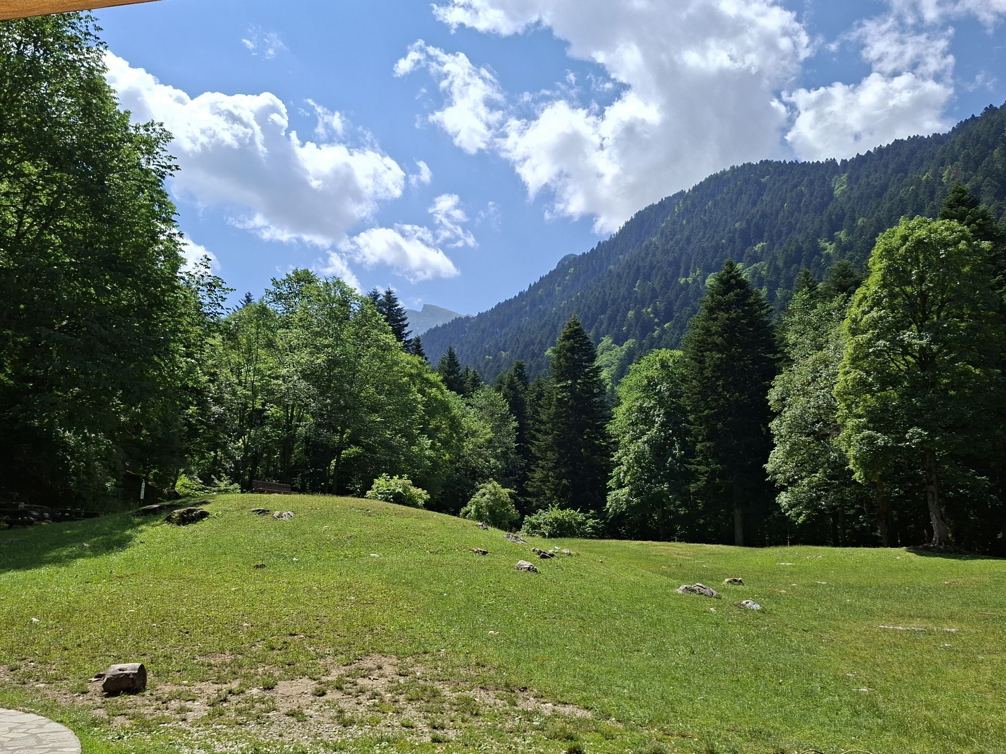
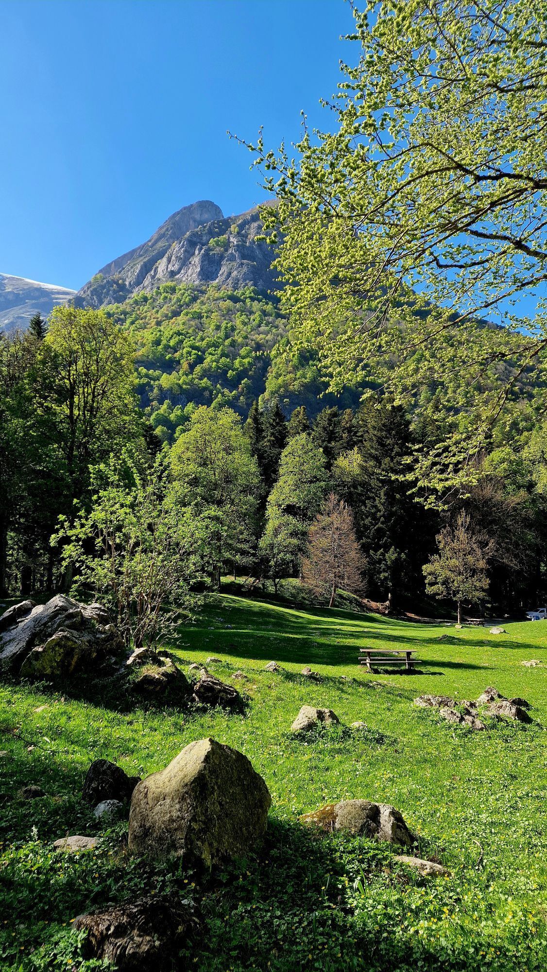
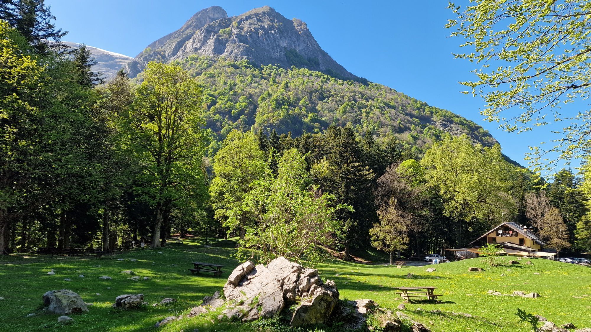
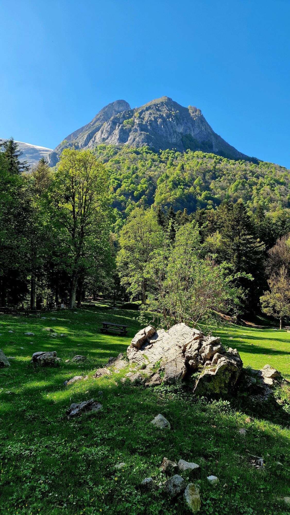
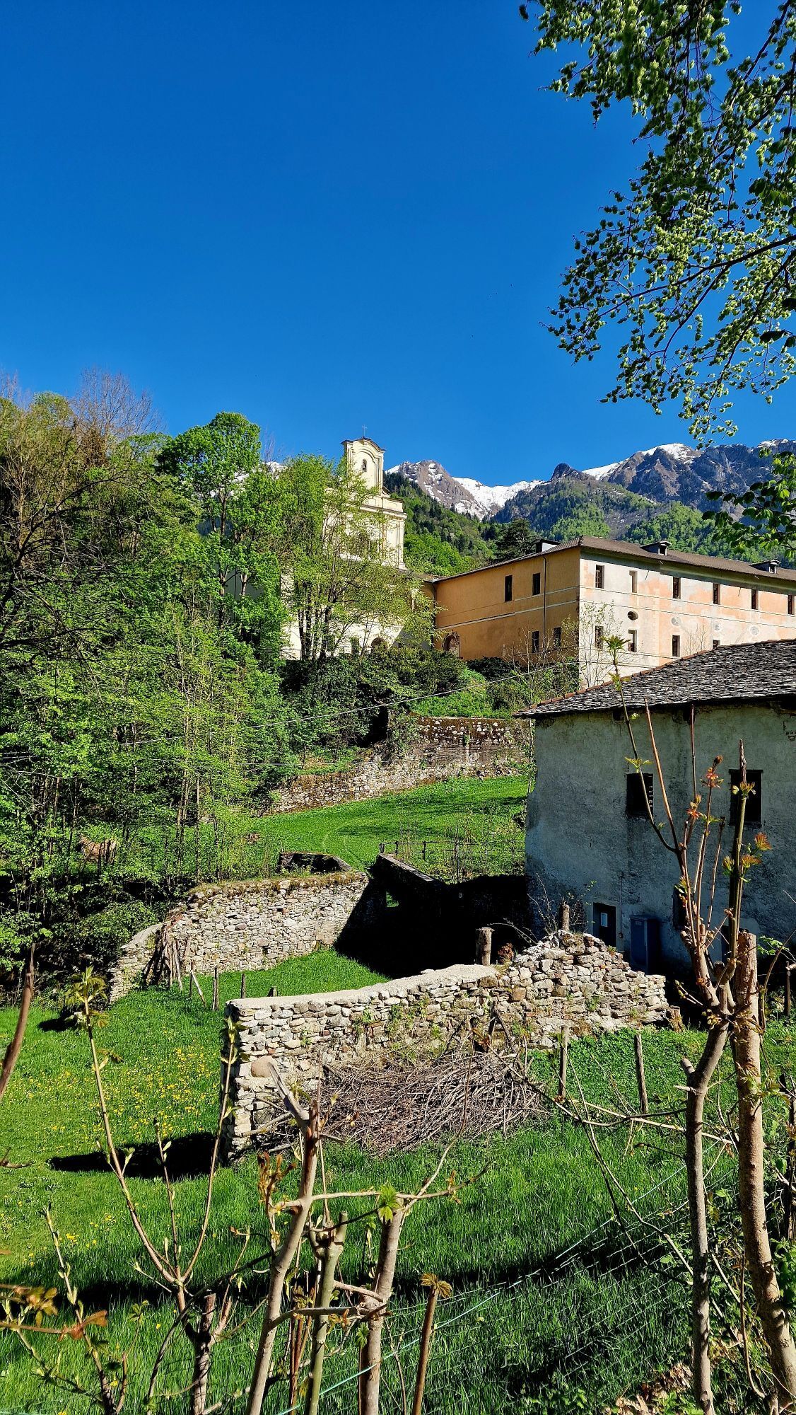
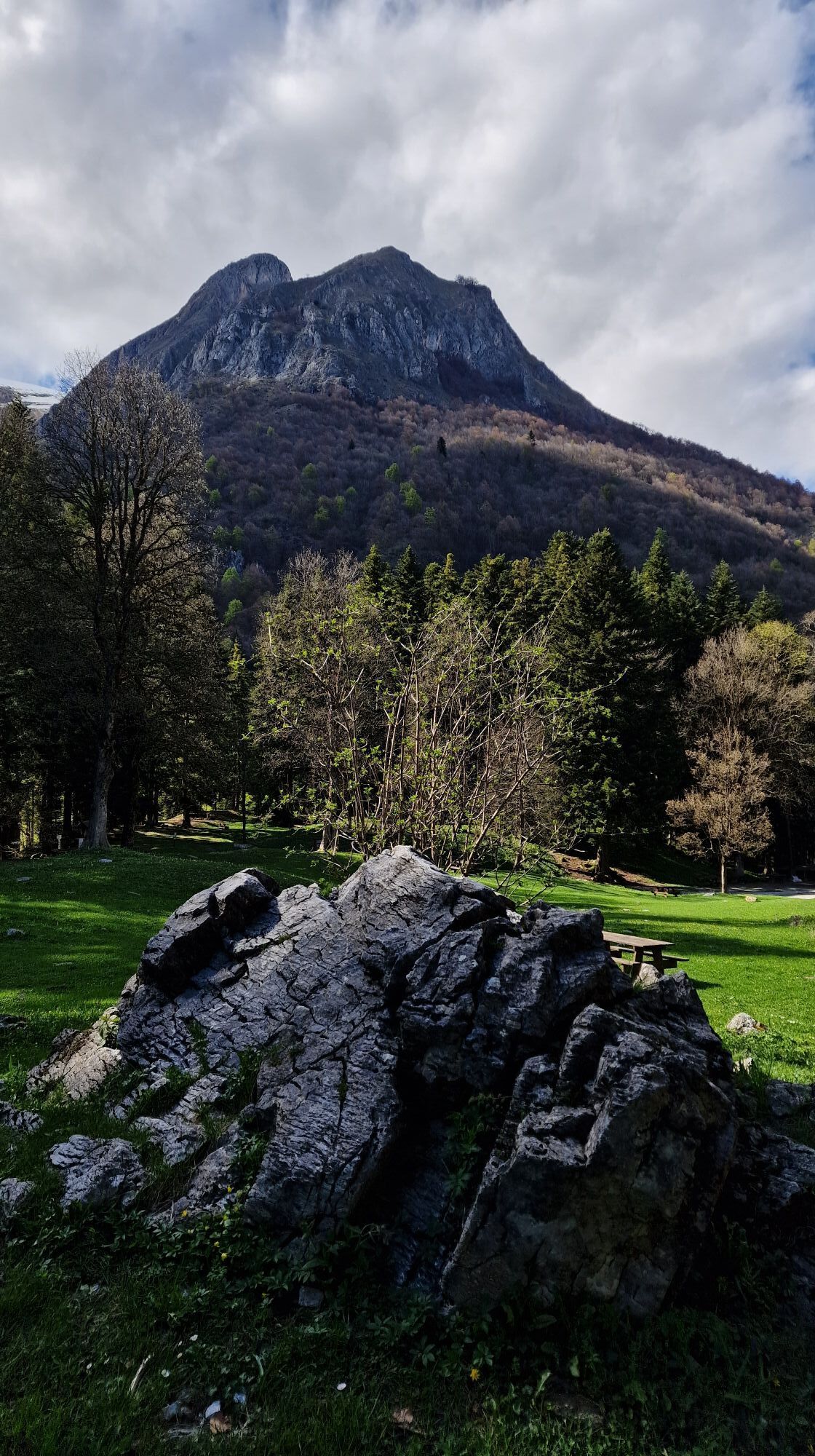
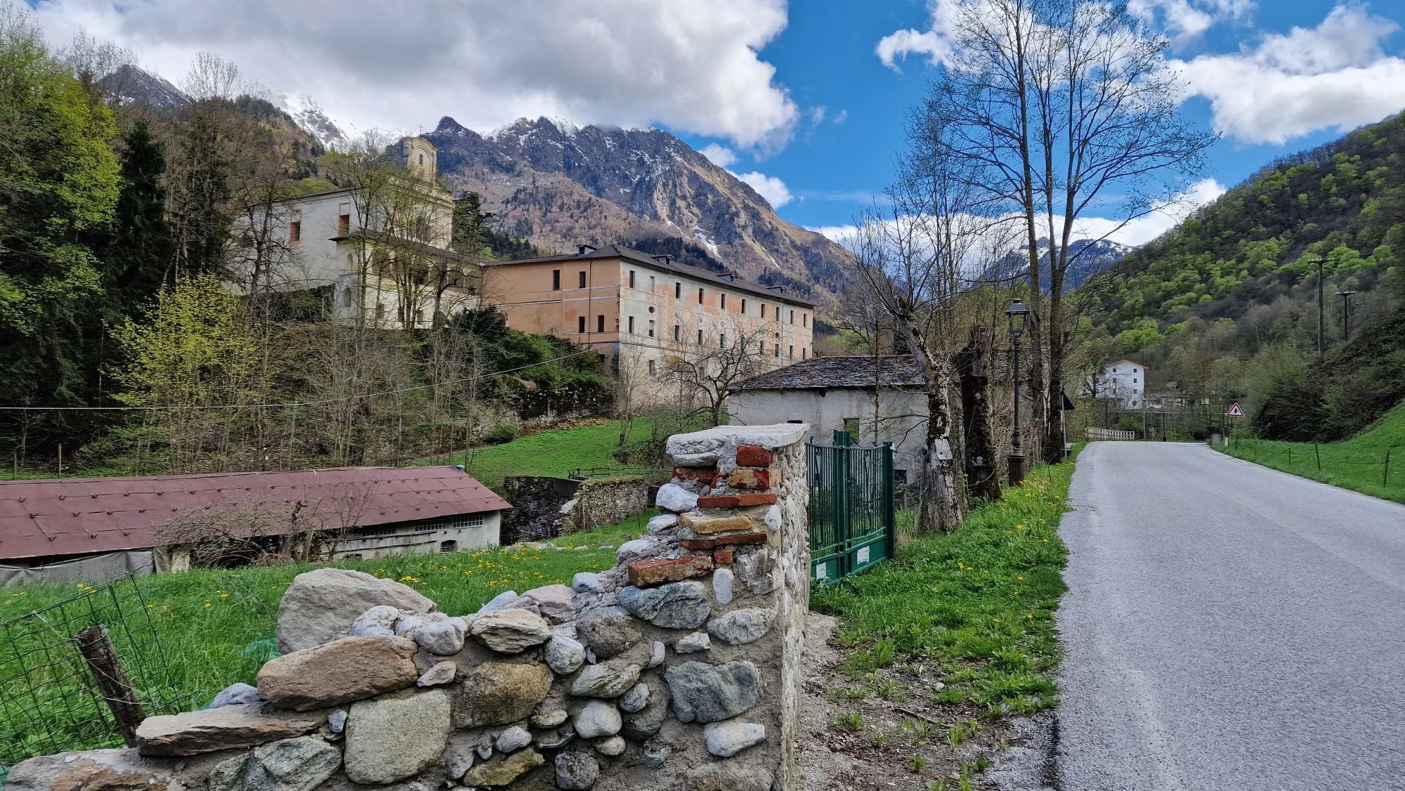
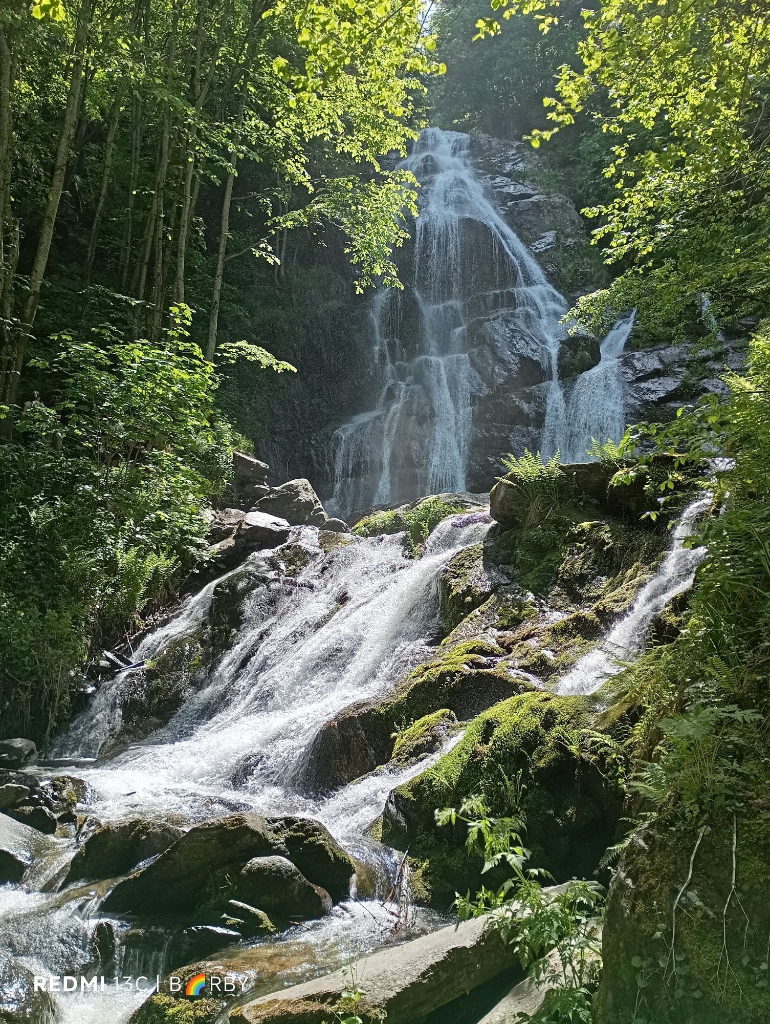
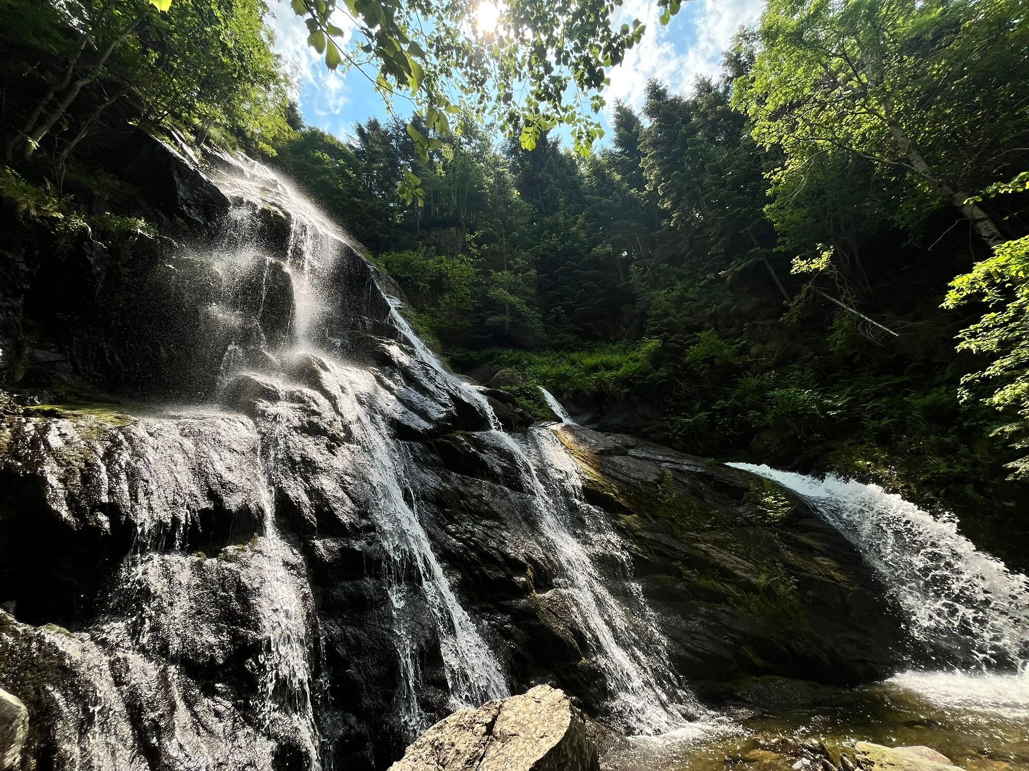
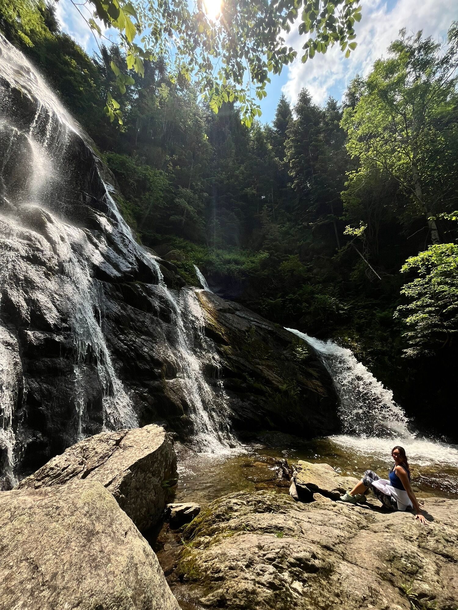
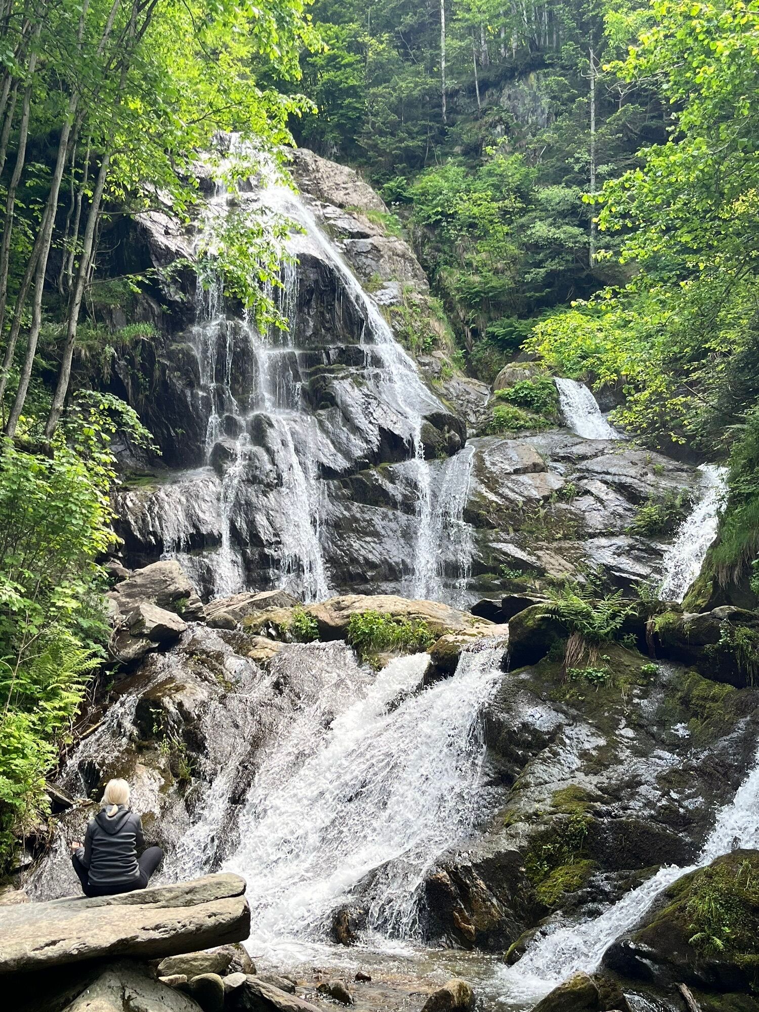
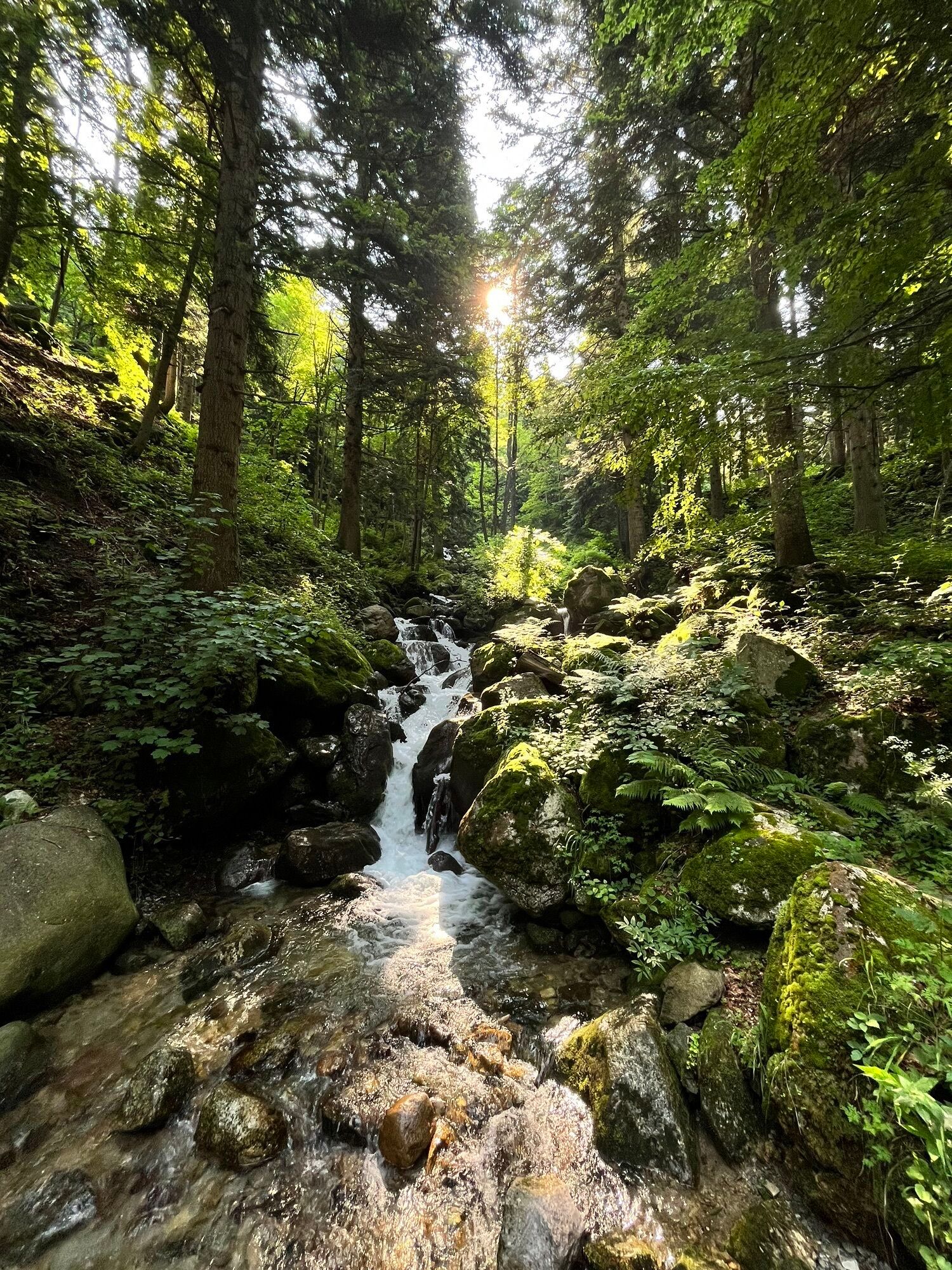
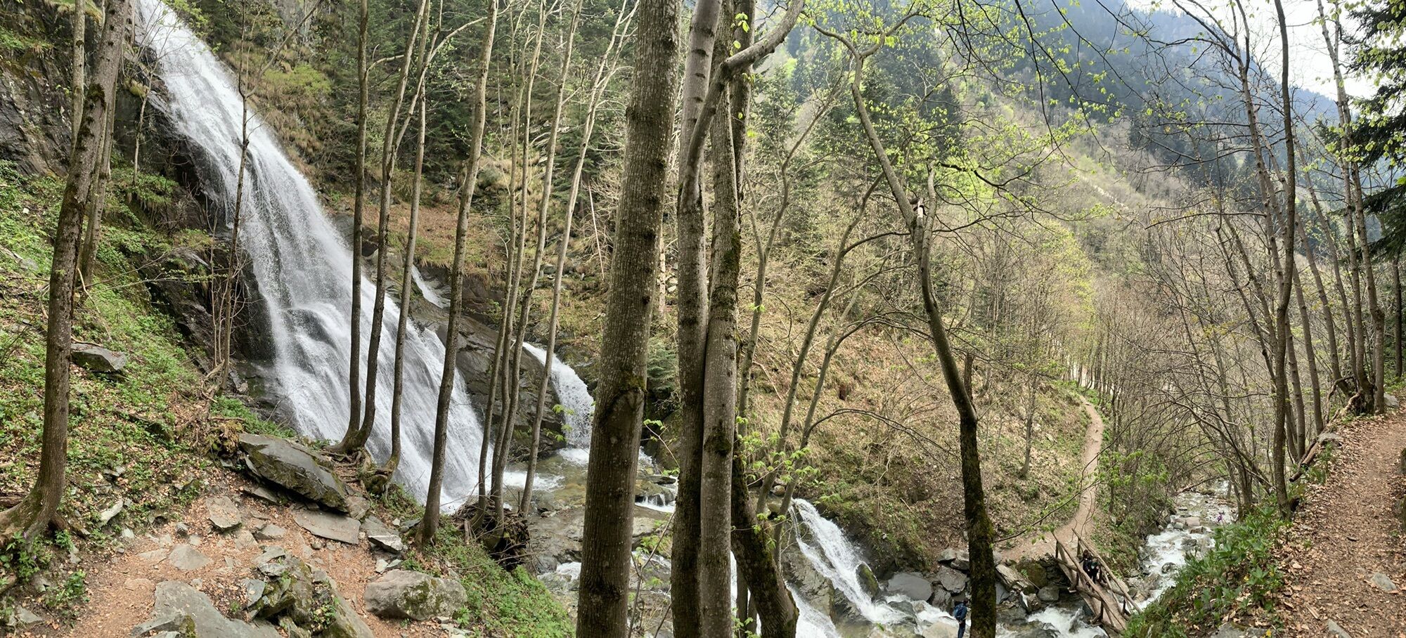
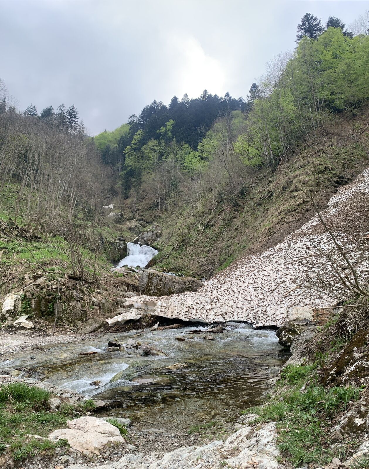
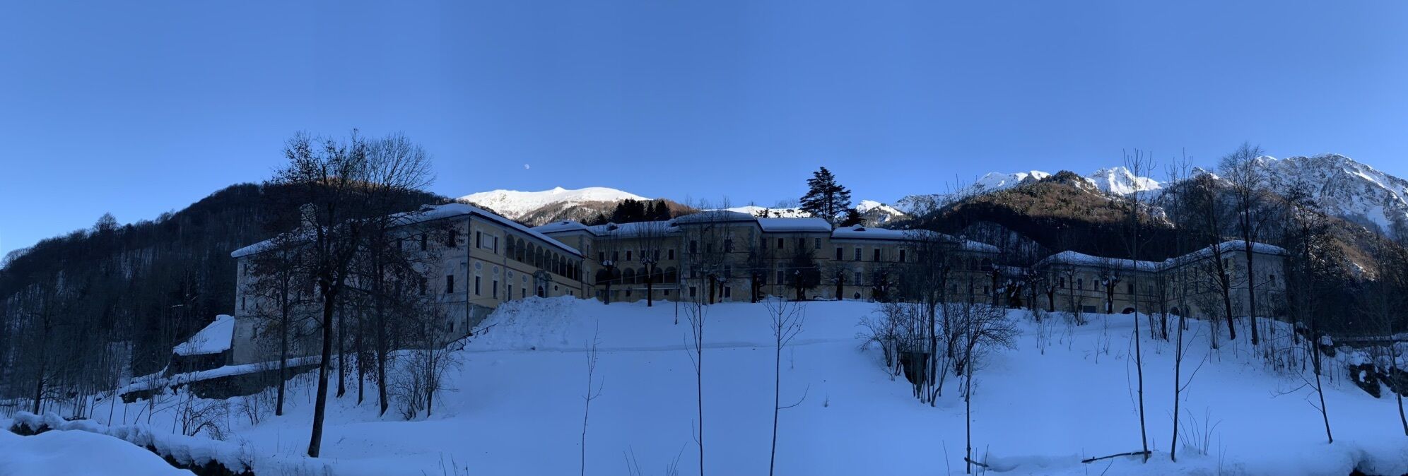
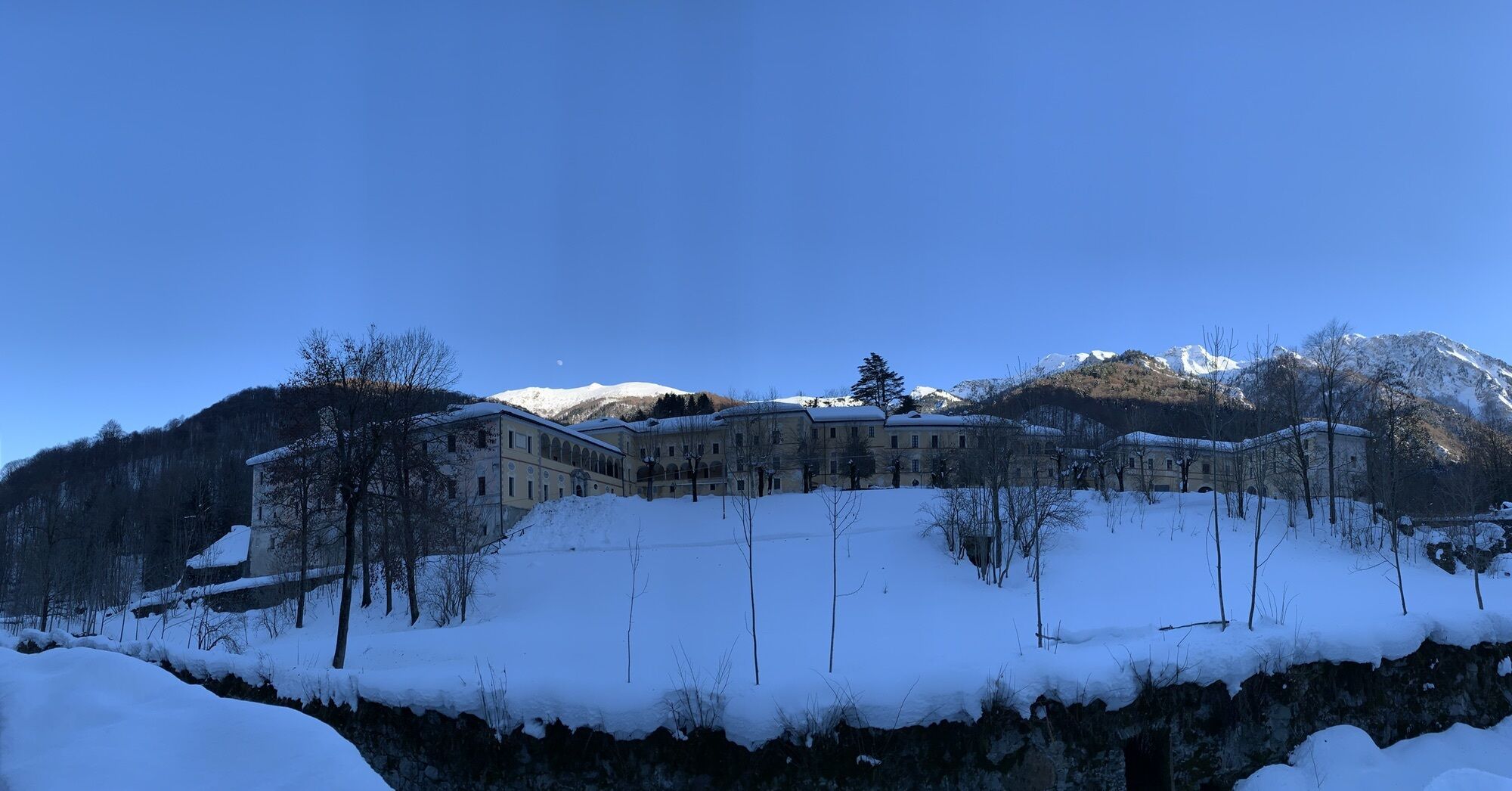
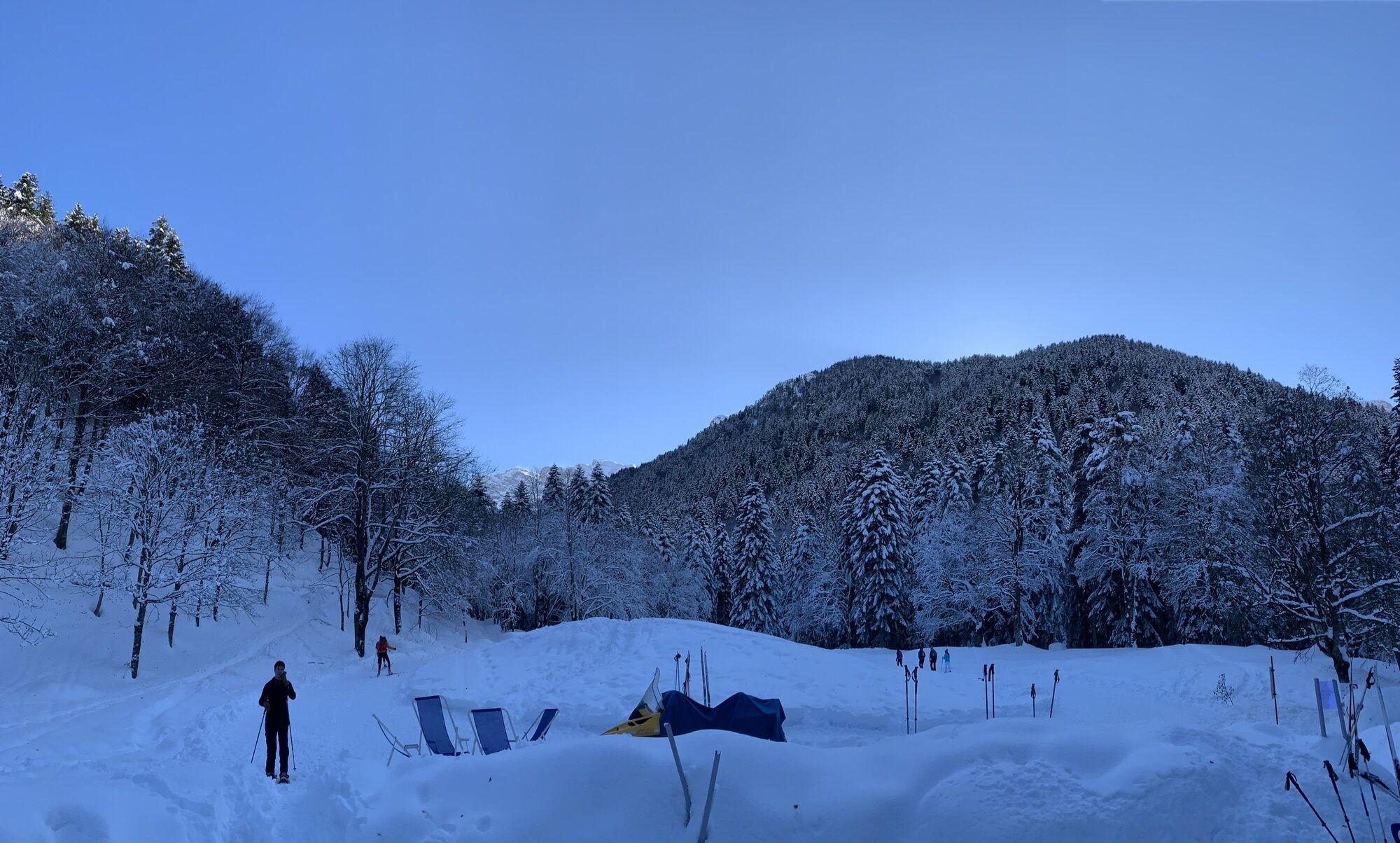
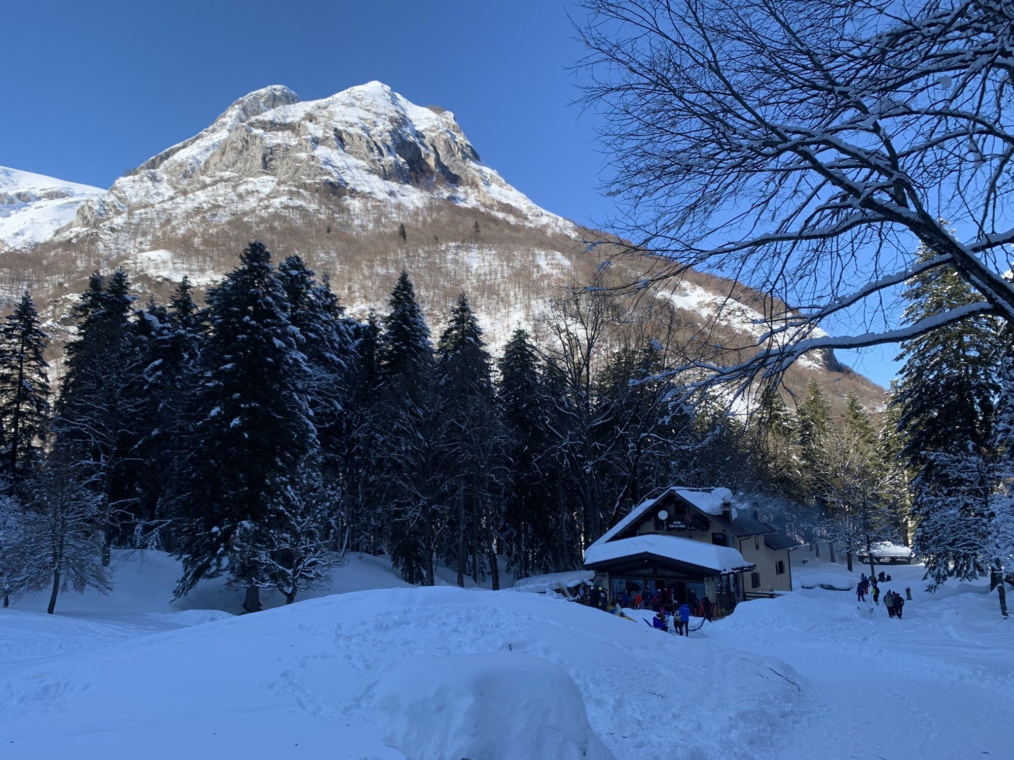
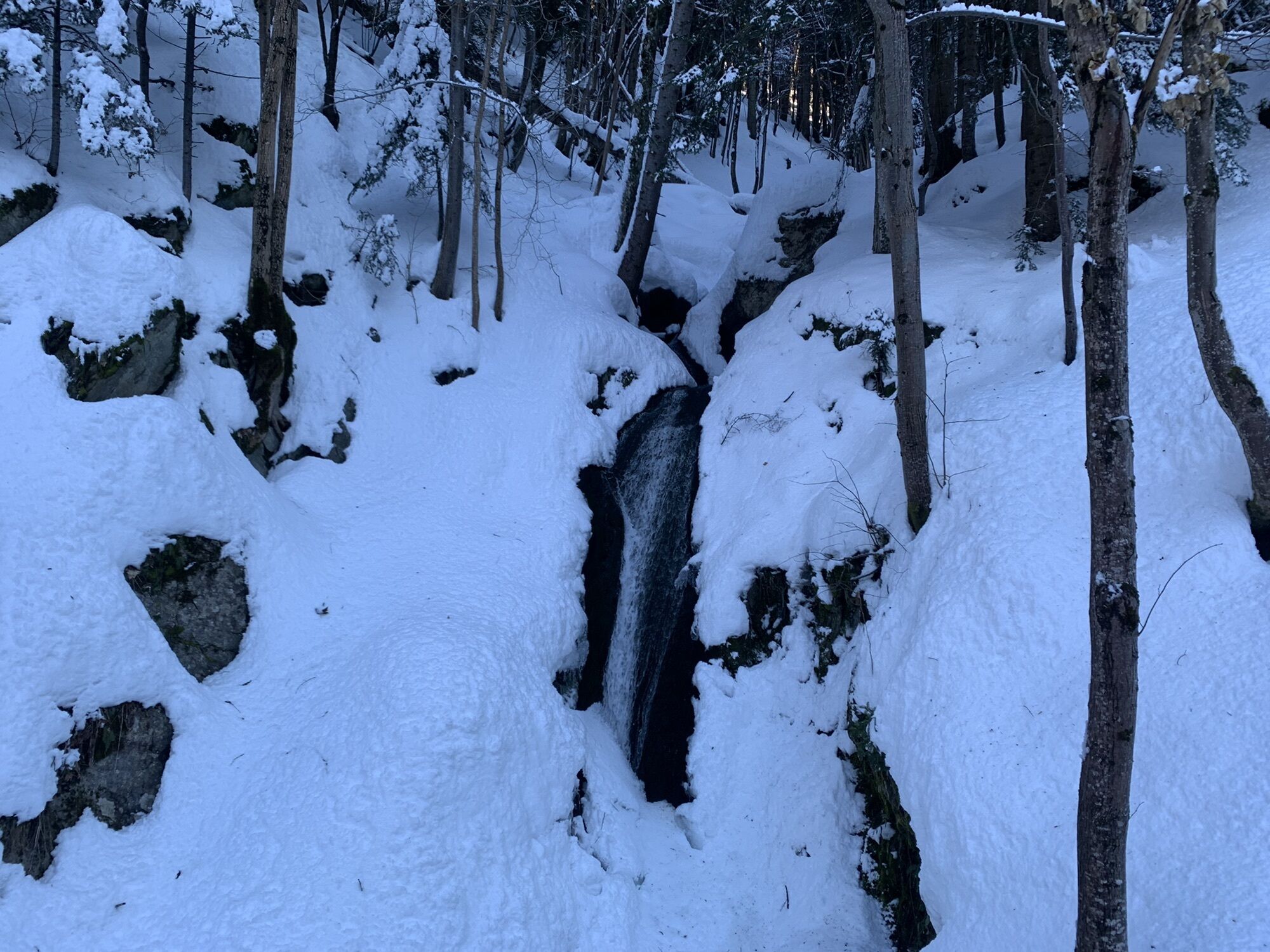
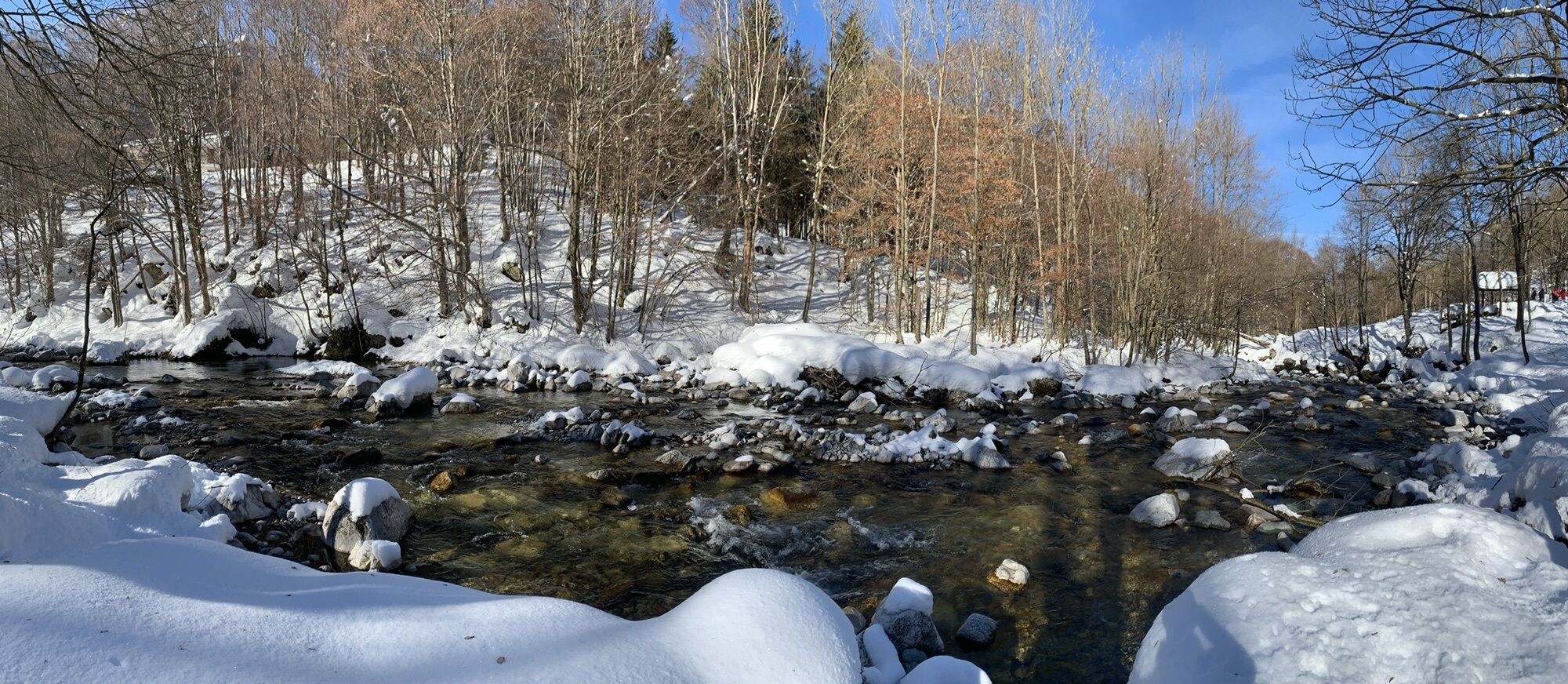
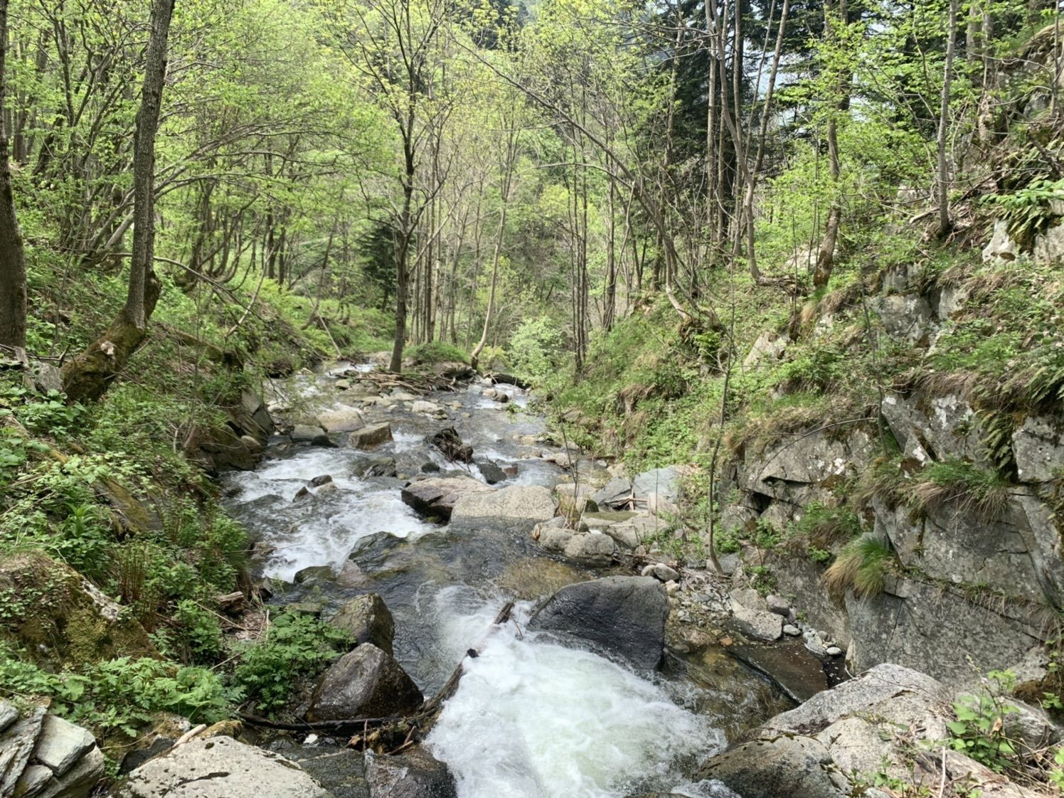
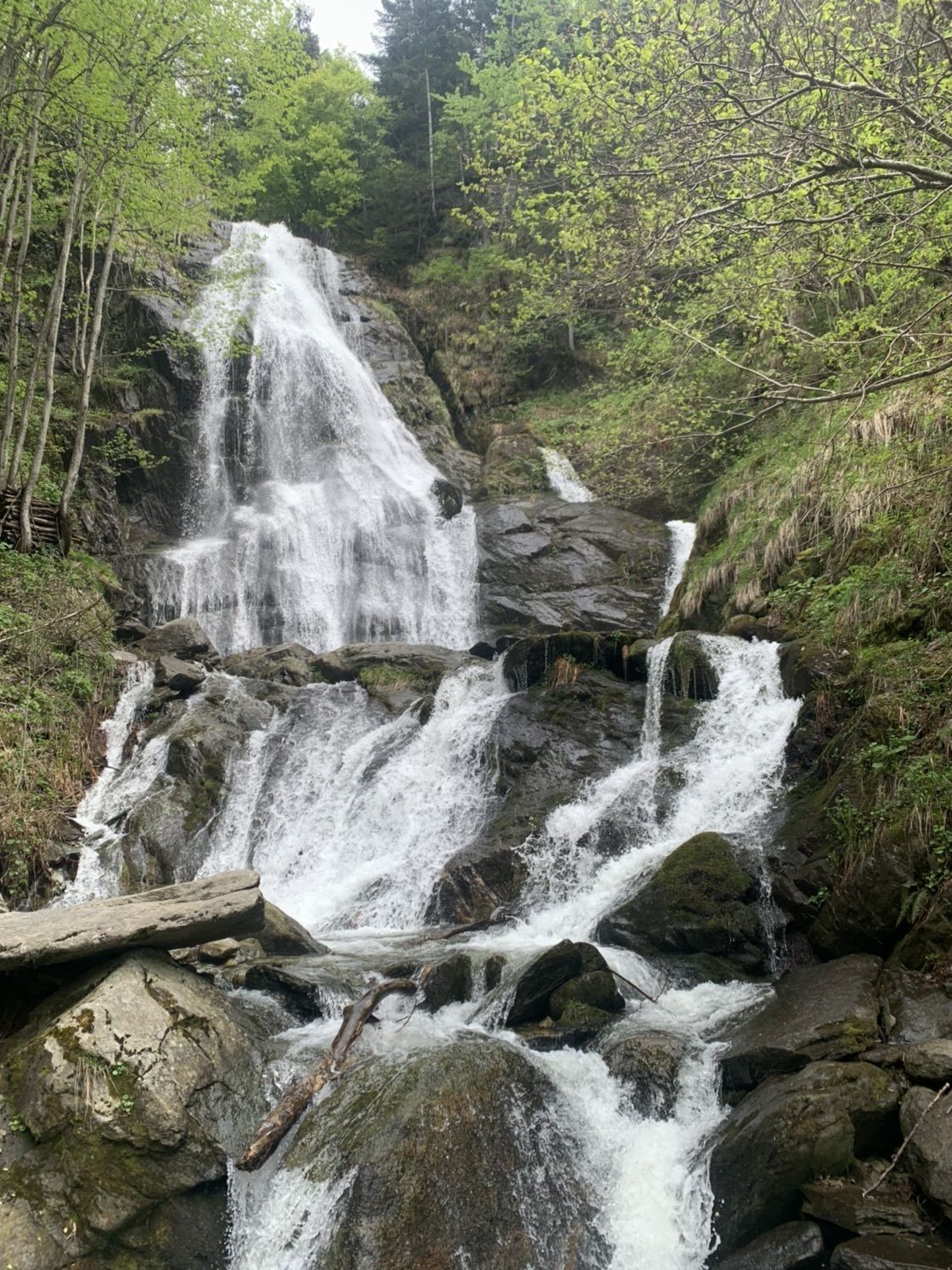
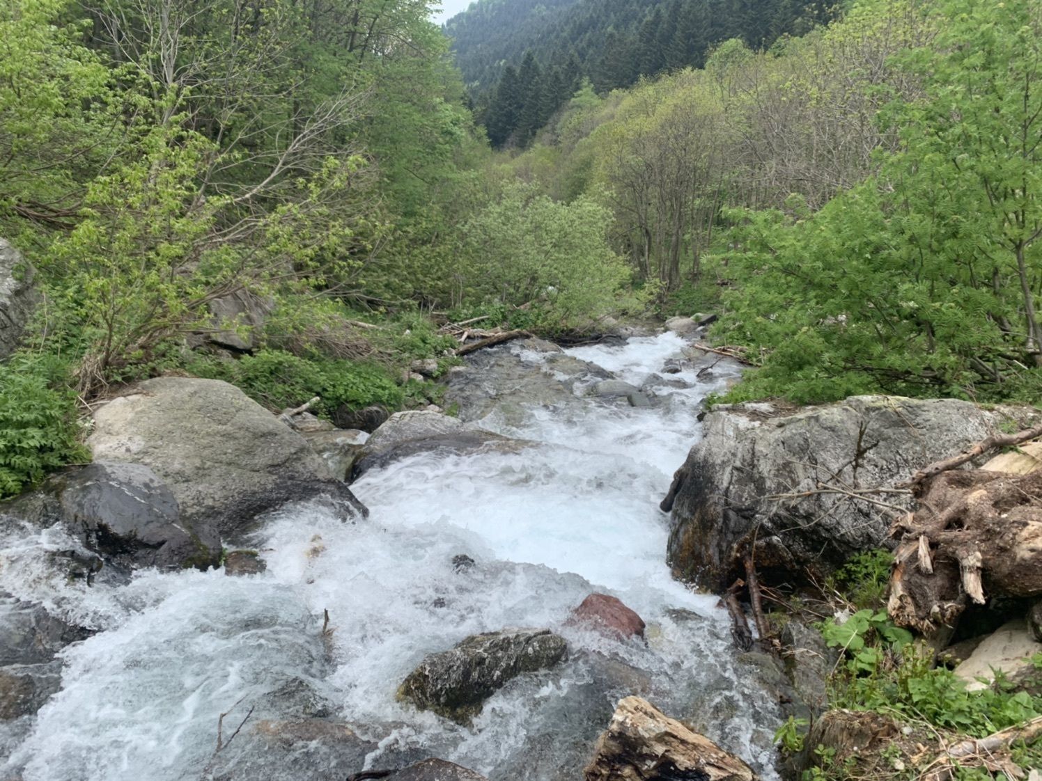
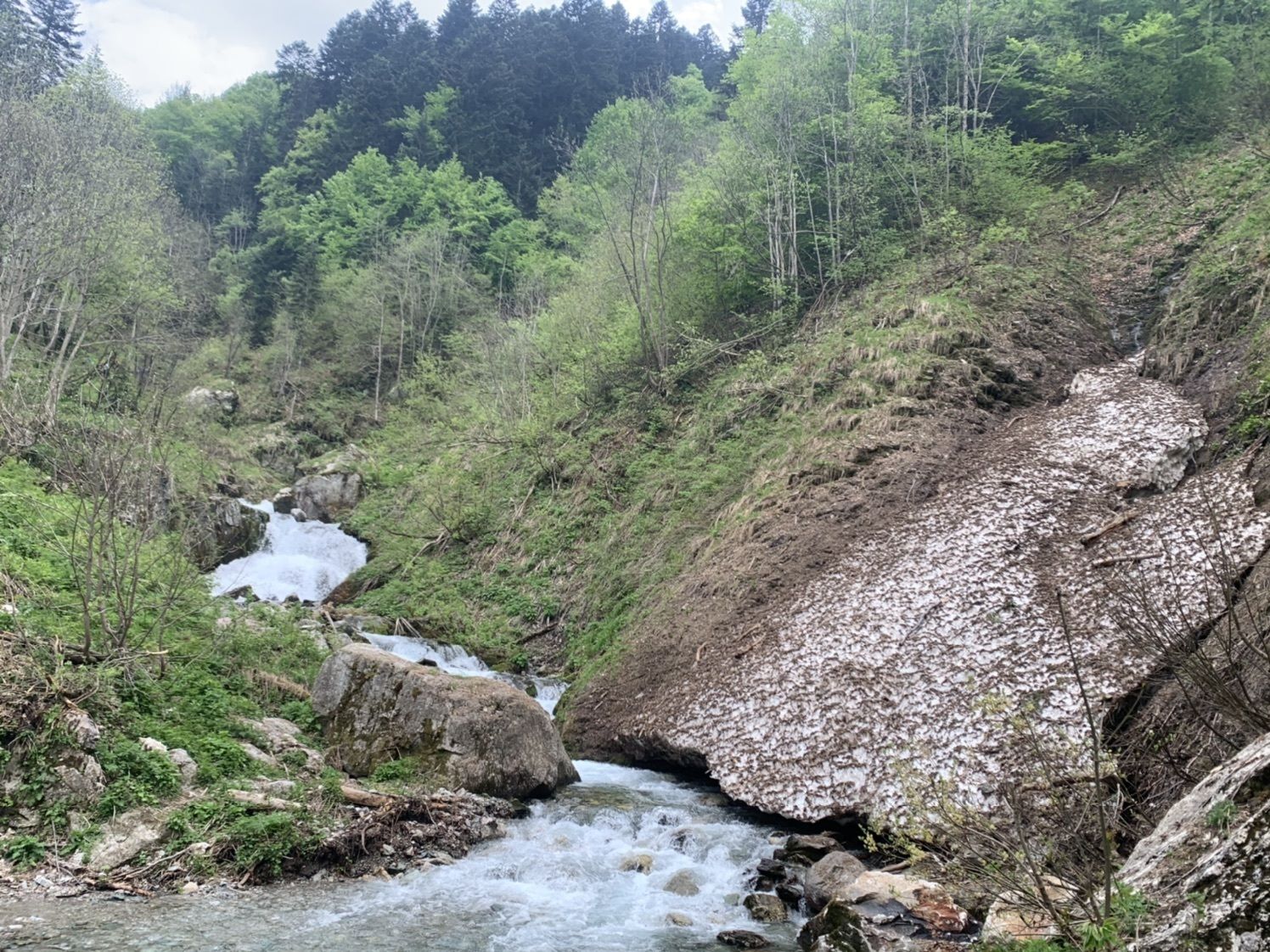
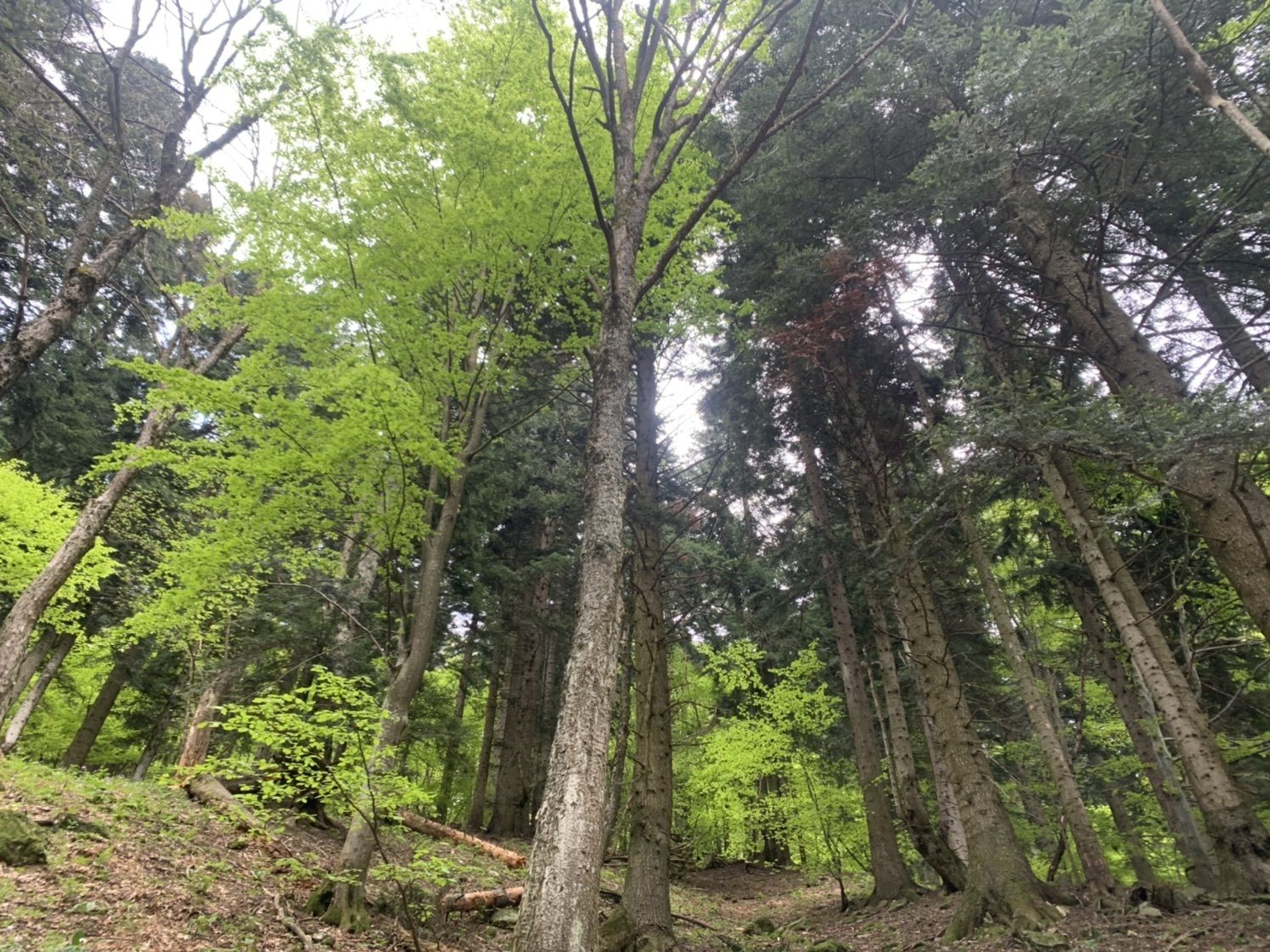
Accessible on foot, by MTB, e-bike, and on horseback, the Ciclovia del Duca represents an important access from the lower Cuneese and Monregalese areas to the Alta Via del Sale. The route follows the ancient...
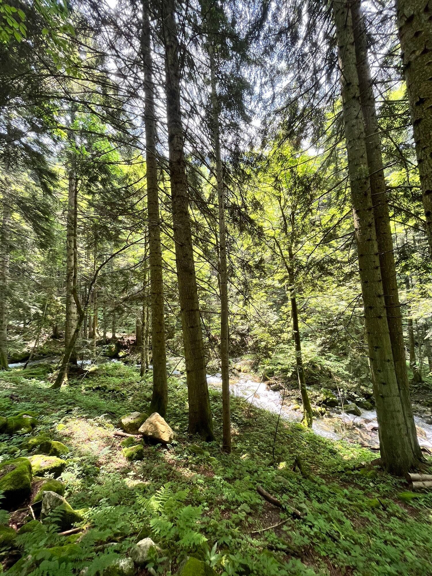
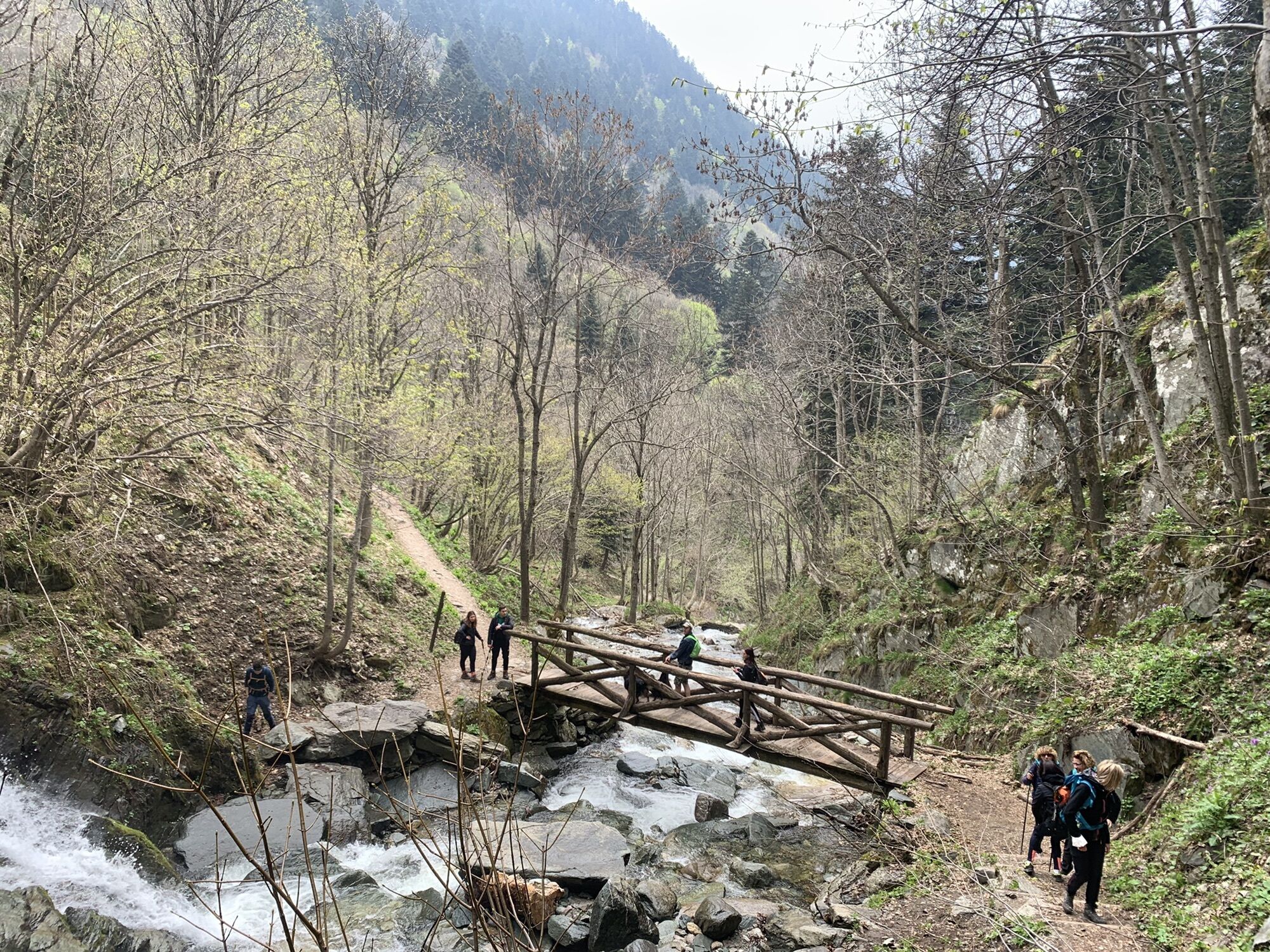
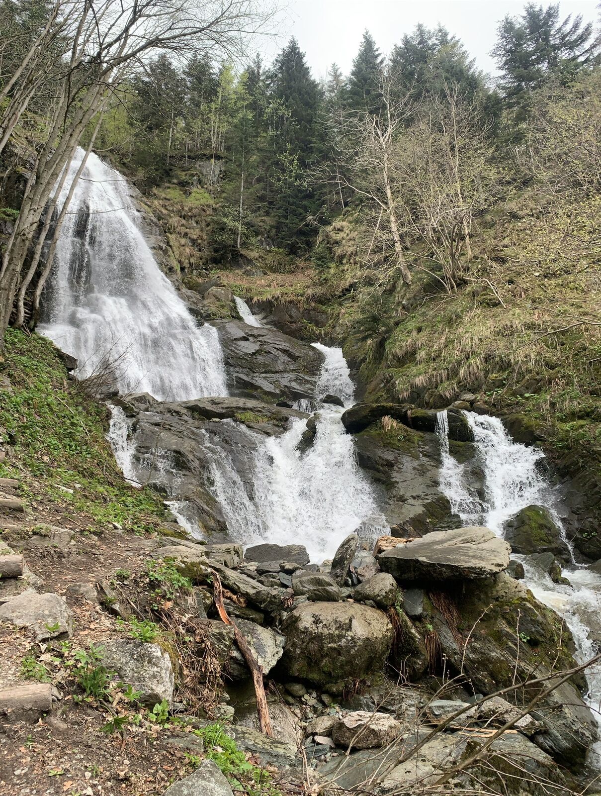
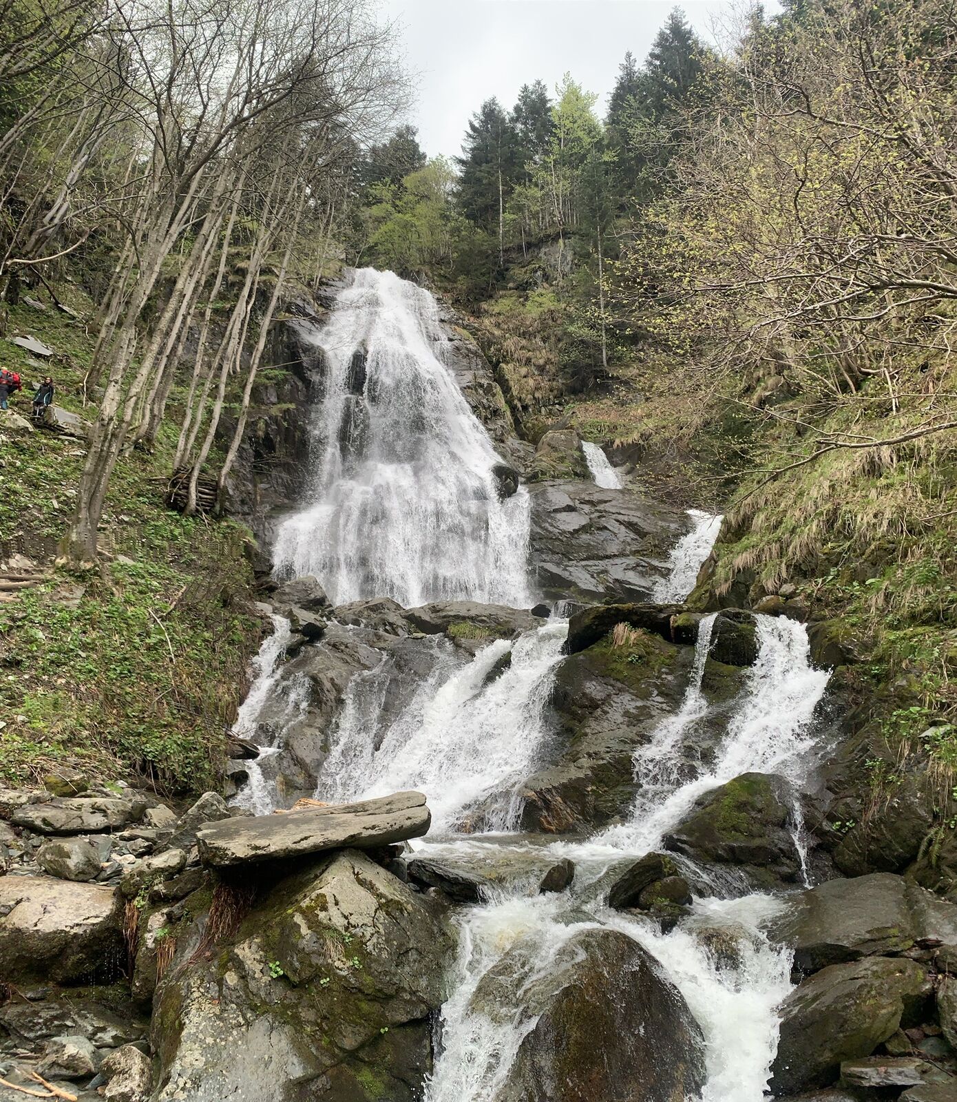
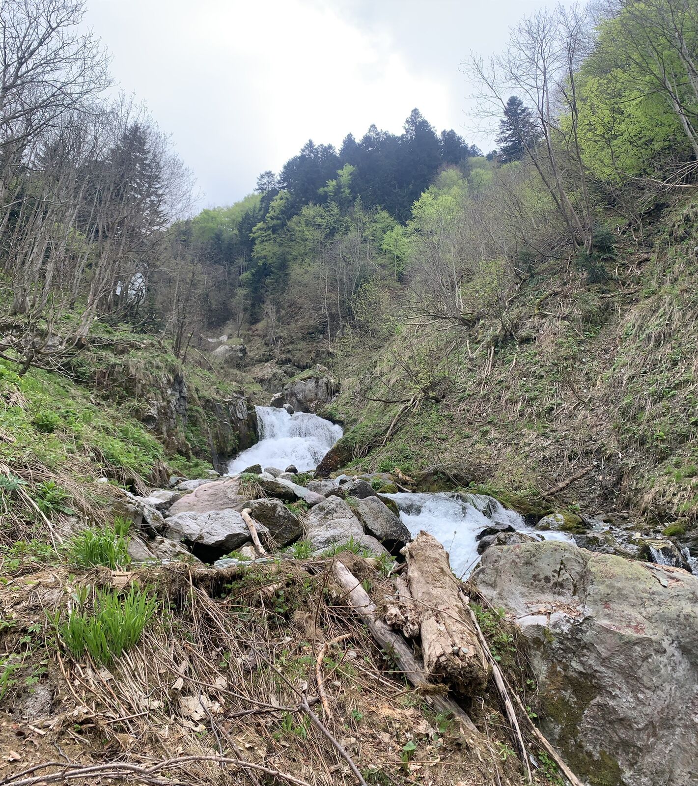
Accessible on foot, by MTB, e-bike, and on horseback, the Ciclovia del Duca represents an important access from the lower Cuneese and Monregalese areas to the Alta Via del Sale. The route follows the ancient military road 194, part of the connection system used by soldiers who, coming from different valleys, tried to reach the alpine watershed. It is worth noting some elevated fortifications, bunkers, and the supporting works of the road route.
We propose it in the "long" version that starts from San Bartolomeo di Chiusa Pesio and, through the Passo del Duca and the Alta Via del Sale, reaches La Brigue in France – hence it is necessary to talk about the Ciclovia del Duca – Alta Via del Sale – Bosco delle Navette and La Brigue known by everyone for the magnificent Notre Dame des Fontaines.

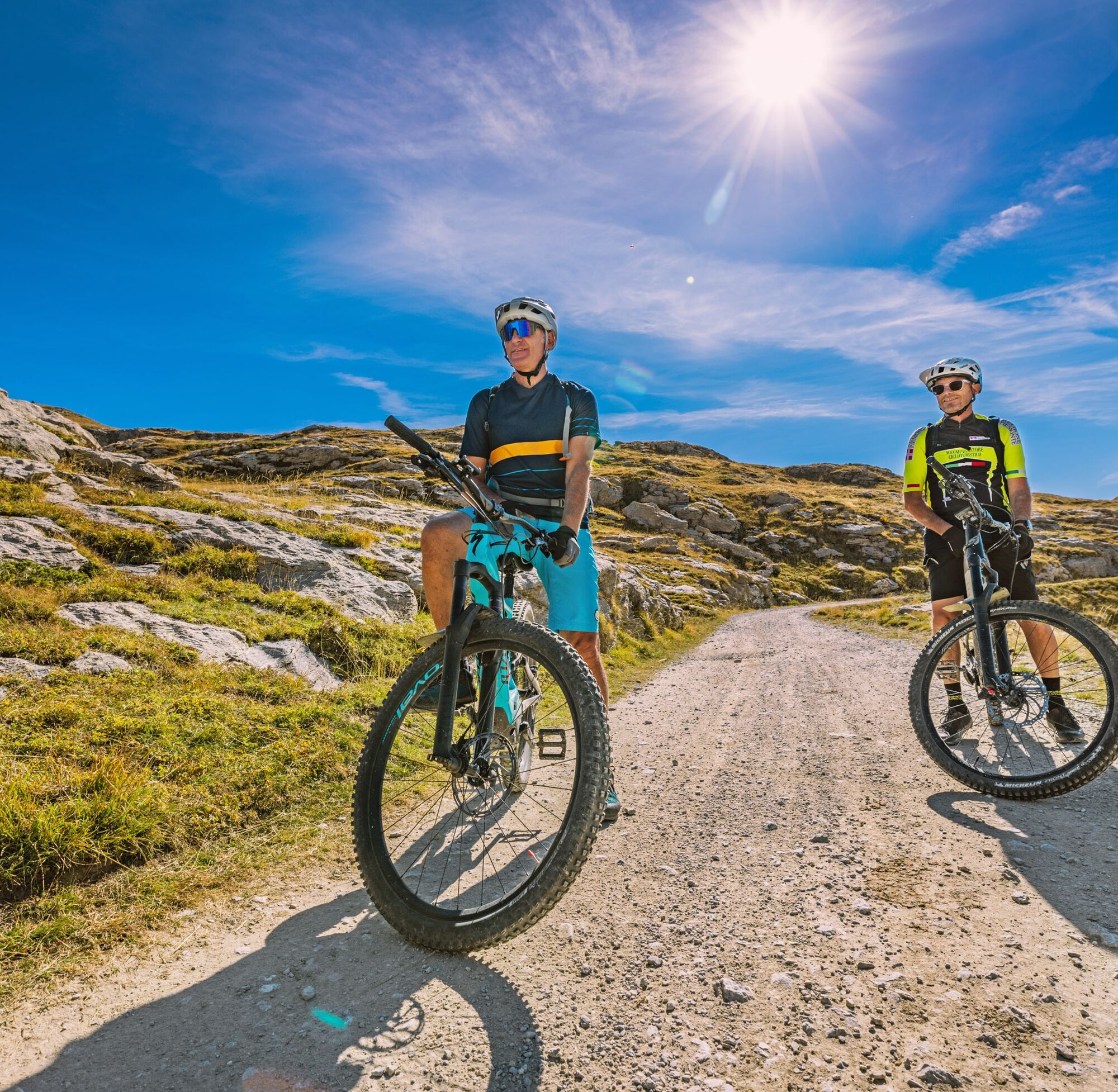

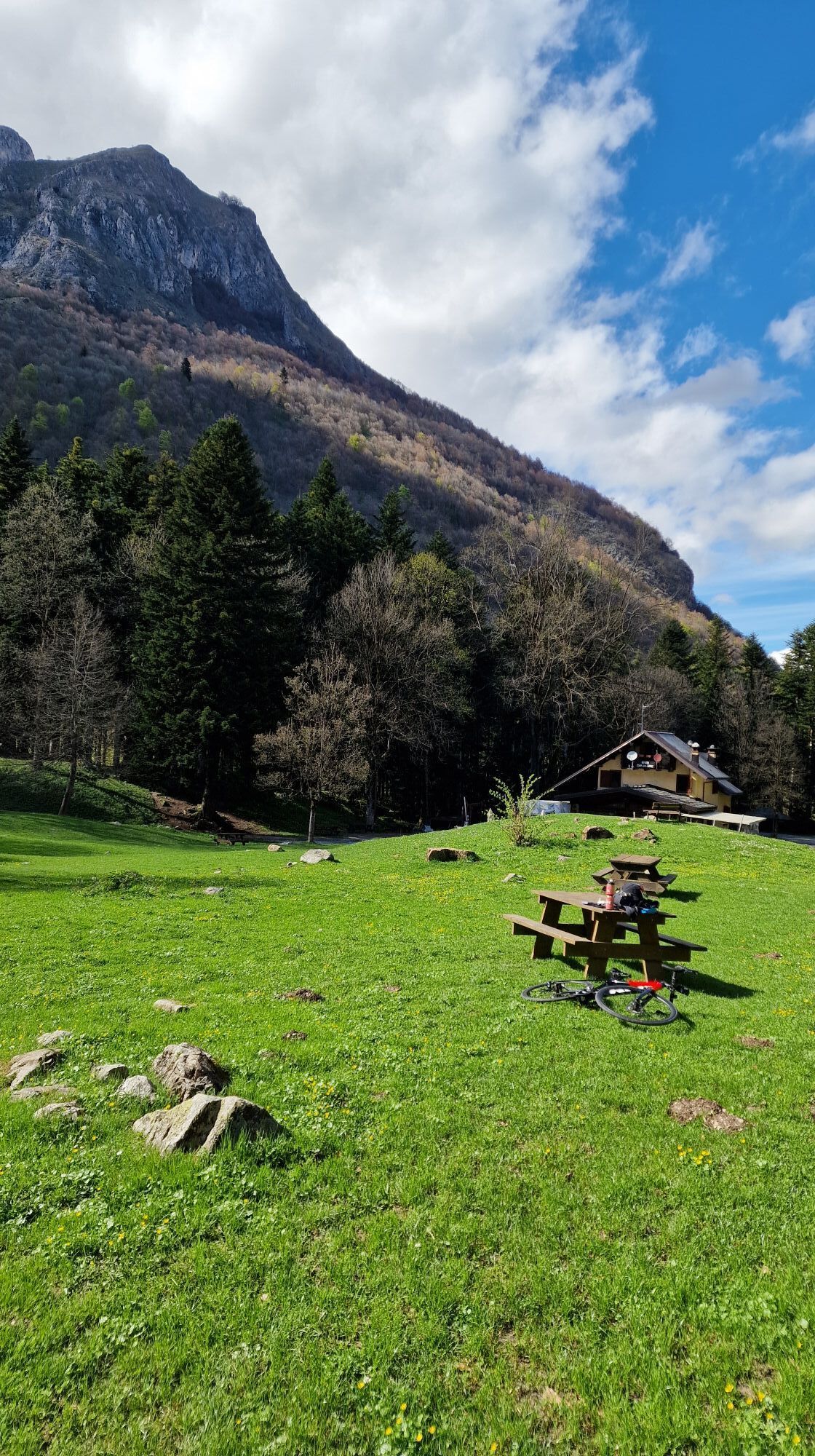
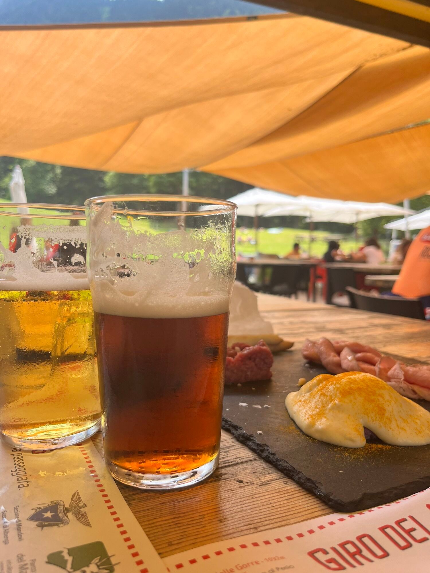
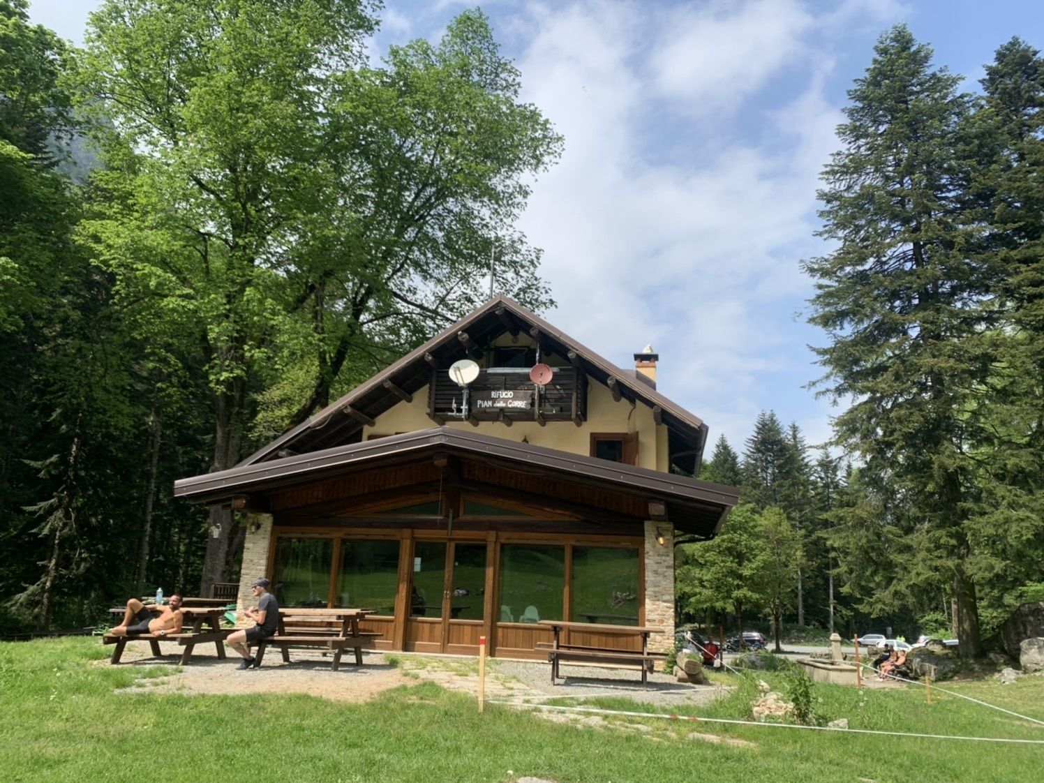
Starting from the hamlet of San Bartolomeo di Chiusa di Pesio, you reach the Pian delle Gorre (hiking refuge). From here, continue along the former military road 194. At the Colle del Prel, the route becomes more technical, crossing the narrow notch of Passo del Duca, then reconnecting to the Alta Via del Sale route.
Da
Da
Along the Pesio Valley there are numerous accommodation facilities and refreshment points, some equipped with service and/or rental of muscle-powered and electric bikes. The hiking refuge of Pian delle Gorre is the last facility in the Pesio Valley. Upon reaching the Alta Via del Sale, the first useful refuge is Don Barbera. There are tour operators and cycle touring guides offering escort and guiding services and, nearby, e-bike rental services. Possibility to go on horseback excursions.
Priljubljeni izleti v okolici
-
Historic Mountain Routes | High Salt Road
težkoMountainbike 104.8 km -
The Upper Salt Road, from the Alps to the sea
težkoMountainbike 112.7 km -
5.0
IM_04 Monte Saccarello da Realdo
Pohodništvo 6.09 km -
5.0
Tour of Marguareis | Stage 4 Mongioie Refuge - Don Barbera Refuge
srednjaPohodništvo 11.6 km -
Tour of Marguareis Stage 1 | Pian delle Gorre - Garelli refuge
srednjaPohodništvo 7.34 km -
Trail no. 06: Sella della Valletta - Colla S. Barnardo
Pohodništvo 8.04 km -
Trail no. 05: Colla d'Agnaira - Sella della Valletta
Pohodništvo 14.5 km -
AVU Alta Via dei Lupi | Stage 2 Mondovì refuge - Don Barbera refuge
srednjaPohodništvo 14.6 km -
The Raschera loop
srednjaMountainbike 62.1 km -
IM_16 Mendàtica - Cascate dell'Arroscia
Pohodništvo 5.12 km
Pohodništvo in sledenje


Ne zamudite ponudb in navdiha za naslednje počitnice
Vaš e-poštni naslov je bil dodan na poštni seznam.


