Navigacija po spletni strani
Pridobite to turo v svoj mobilni telefon
Zemljevid
The Upper Salt Road, from the Alps to the sea
težko
Mountainbike
112.72 km
Skenirajte kodo QR in začnite navigacijo v aplikaciji bergfex.
QR Code
Pohodništvo in sledenje
Prenos za iOS
Prenos za Android

The Upper Salt Road, from the Alps to the sea

Zemljevid
Razdalja
112.72 km
Trajanje
13:45 h
Ascent
2,241 hm
Morska gladina
1 - 2,236 m

Stopnja težavnosti: S2
Prenos skladbe
Zemljevid
The Upper Salt Road, from the Alps to the sea
težko
Mountainbike
112.72 km

Fotografije naših uporabnikov

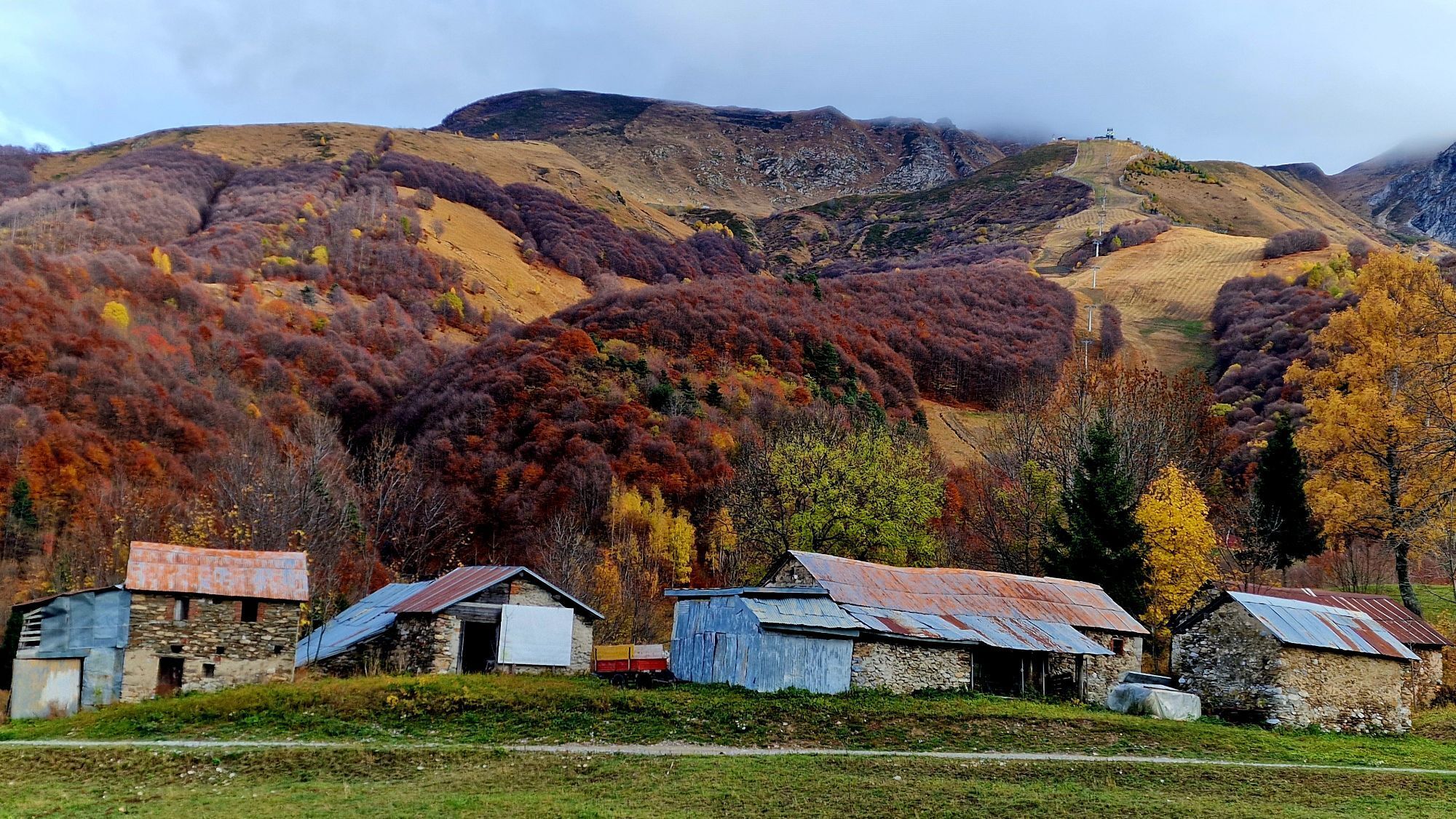
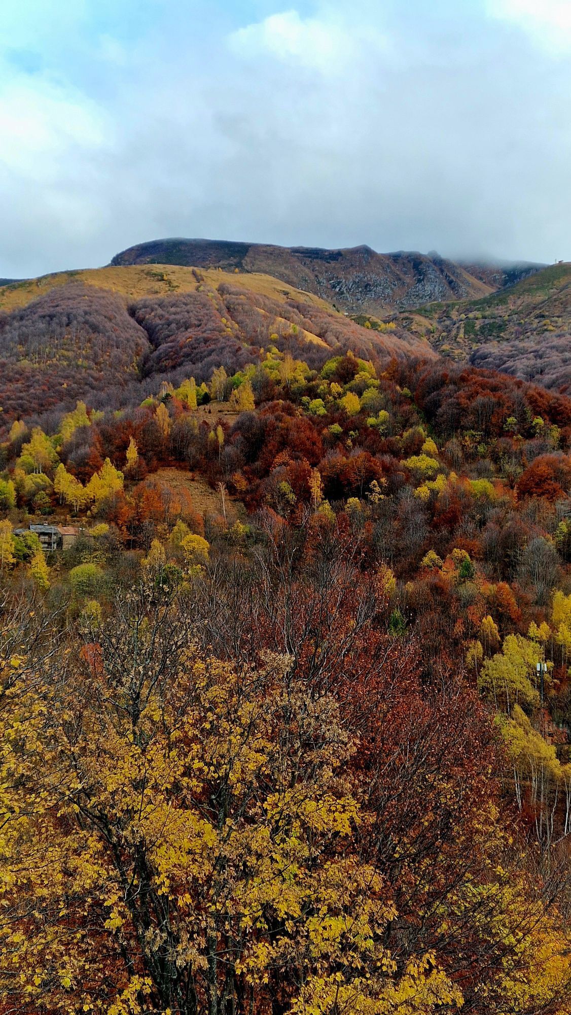
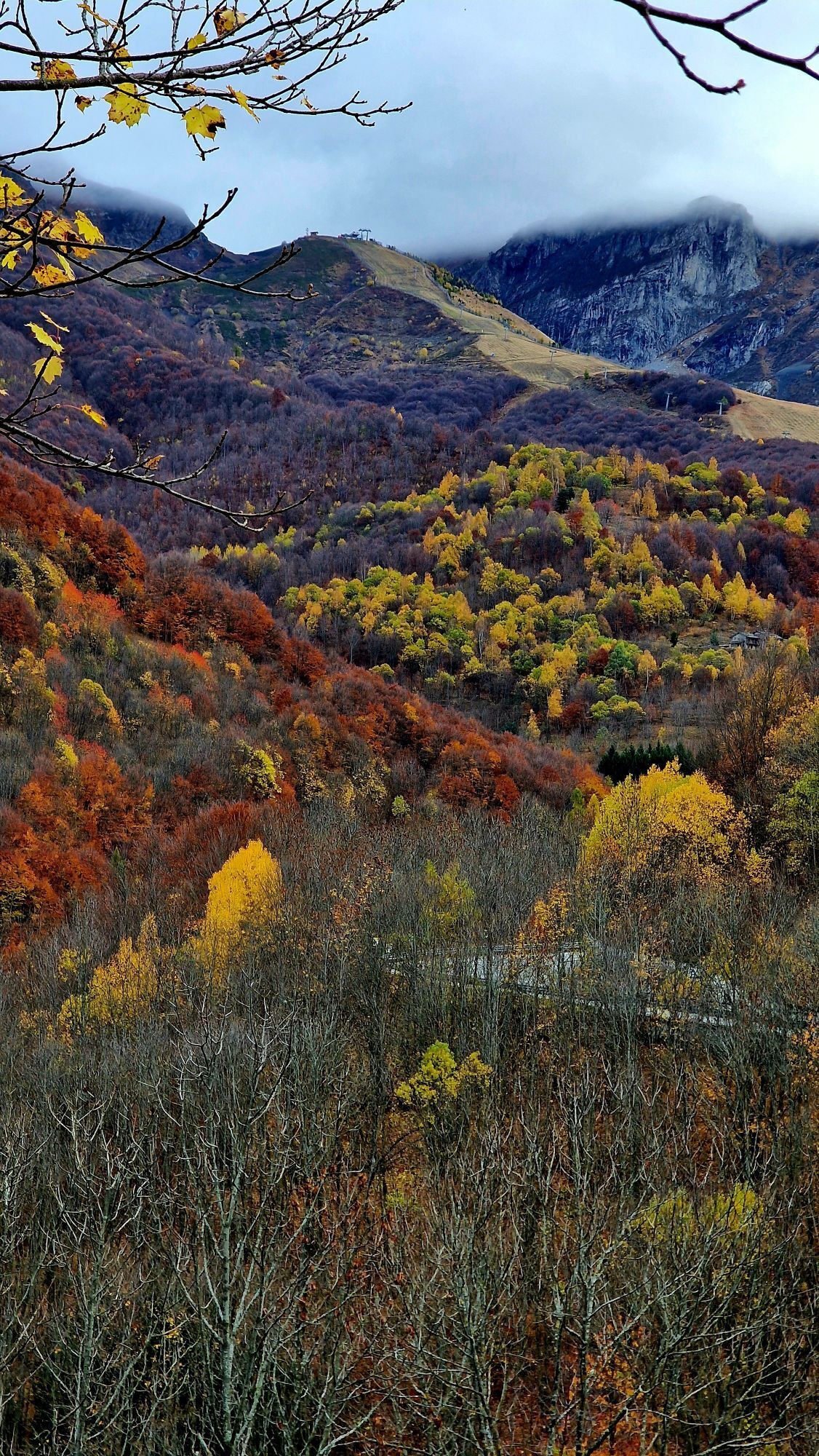
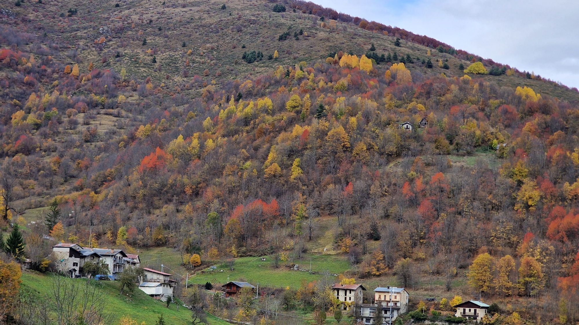
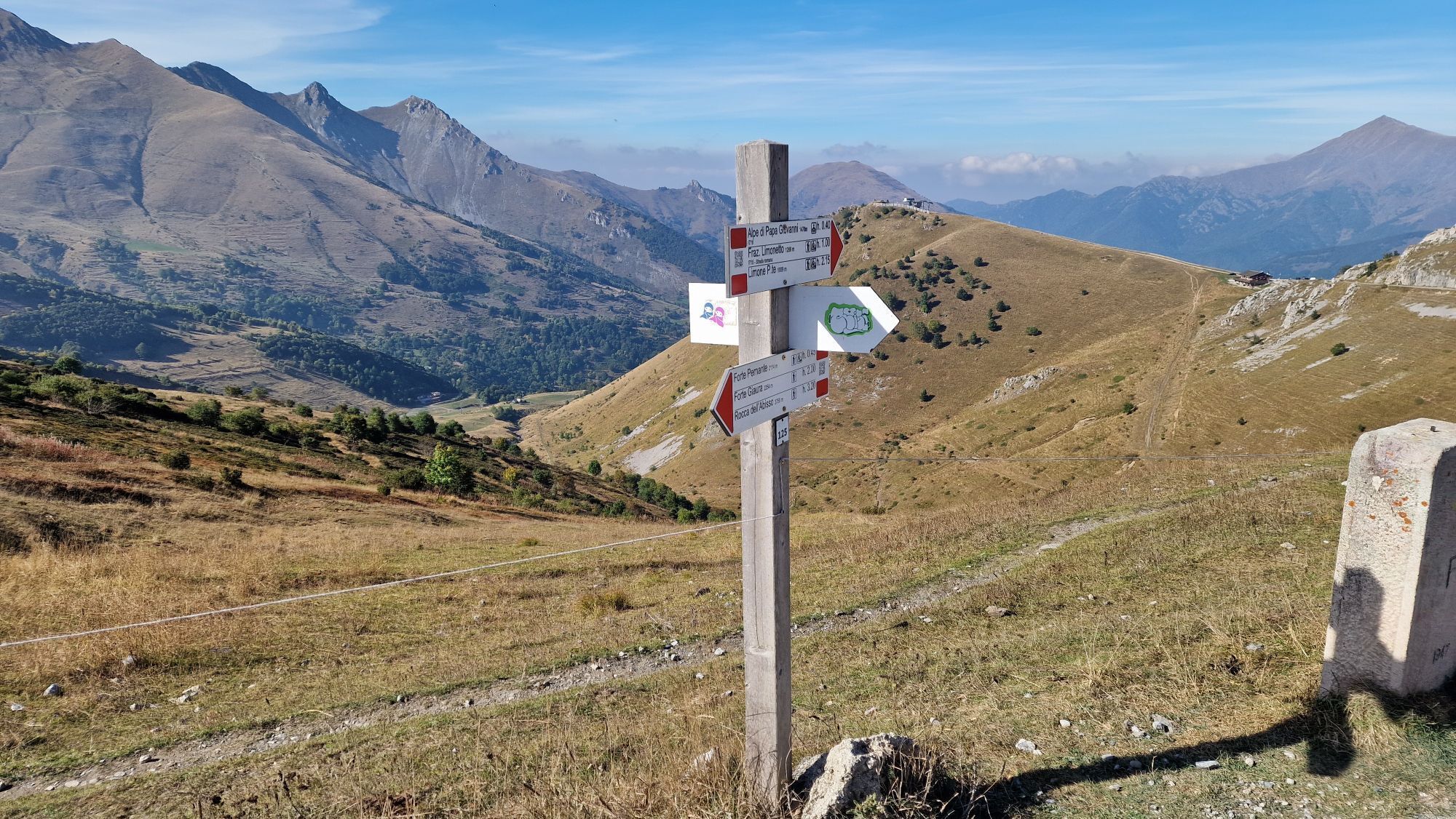
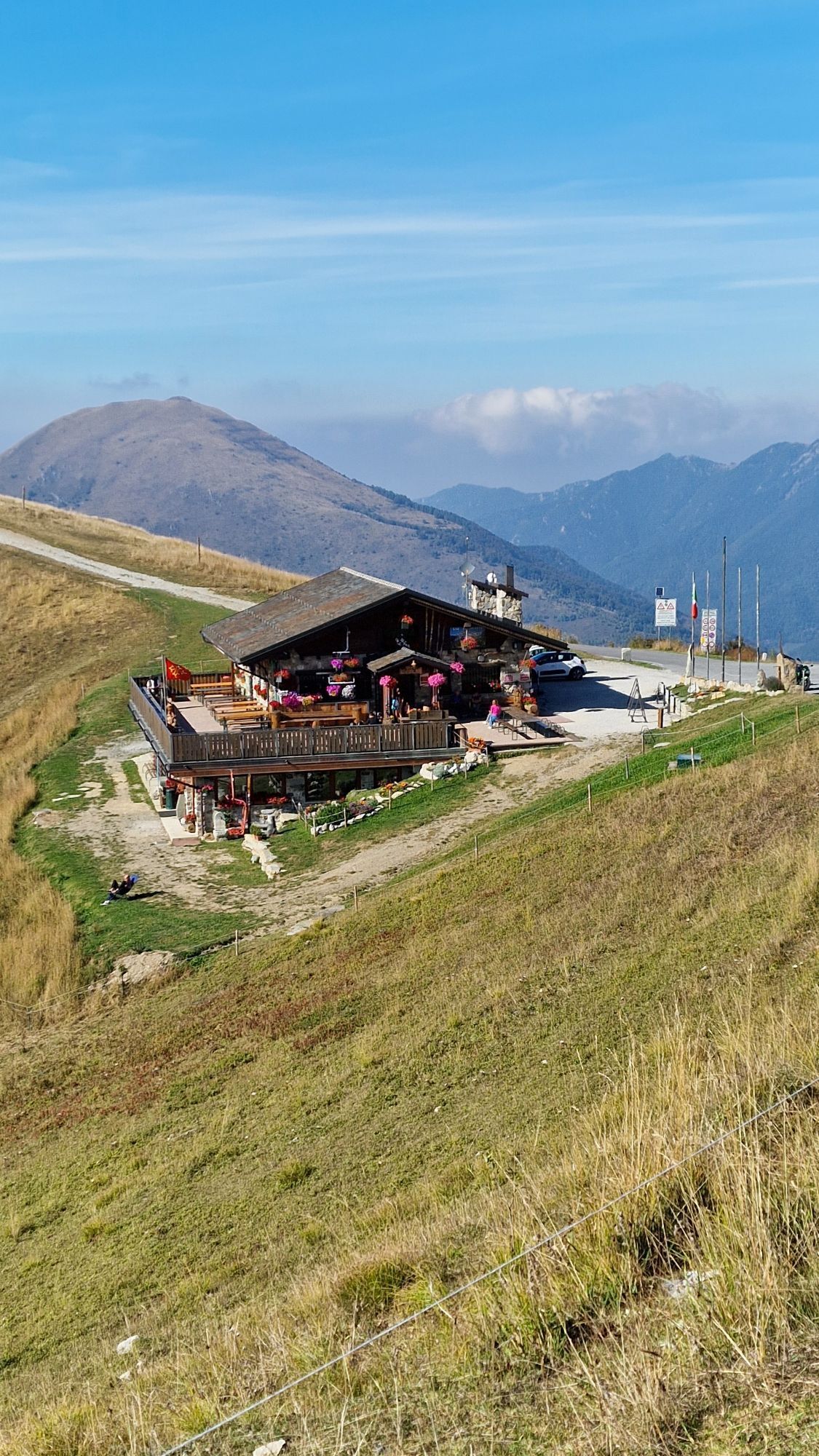
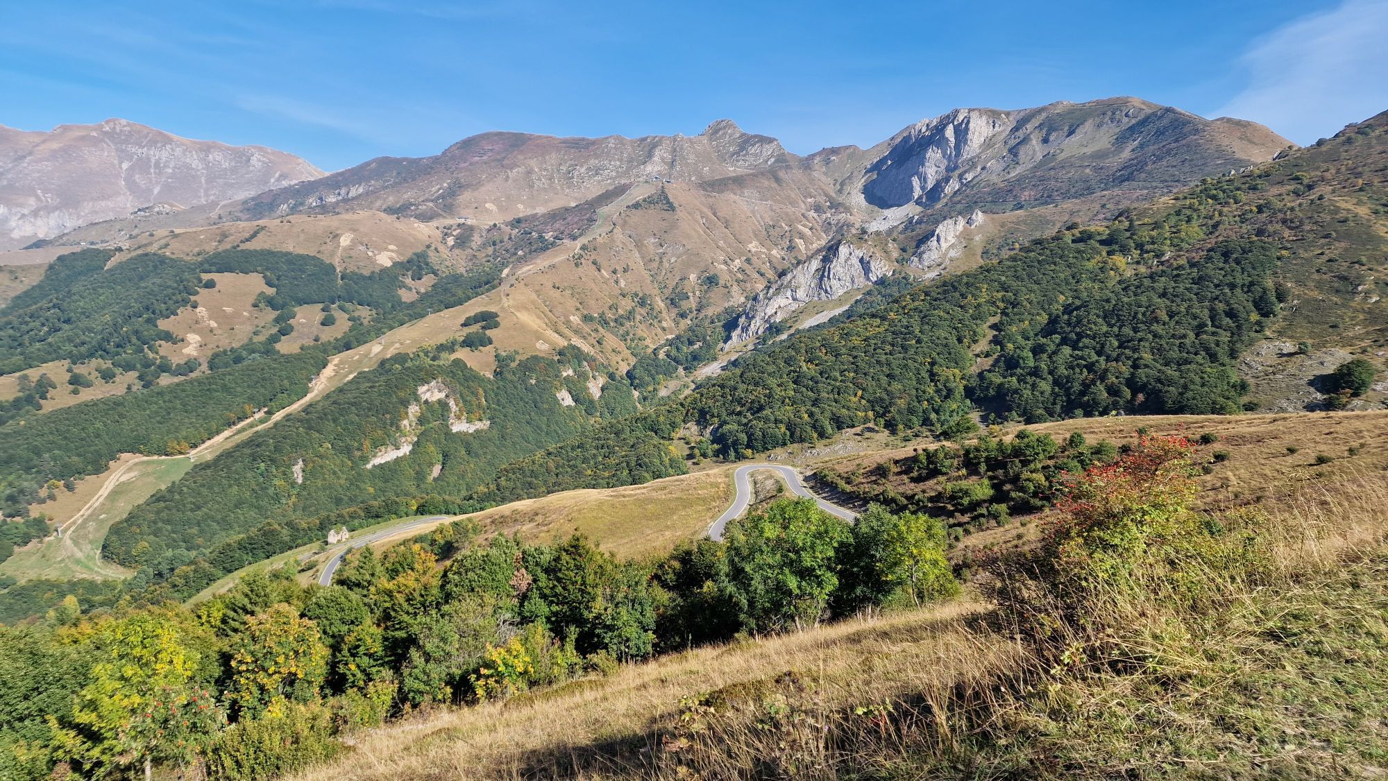
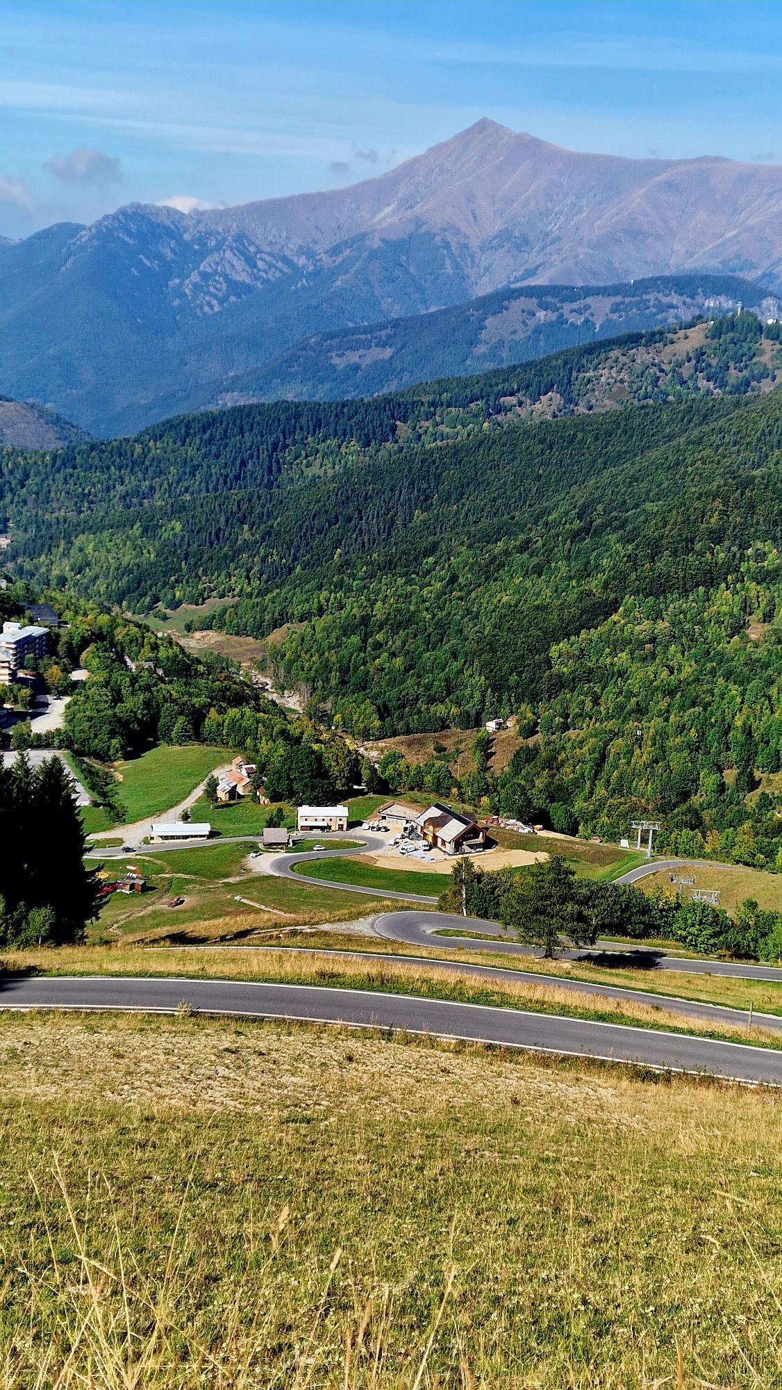
The Alta Via del Sale (High Salt Trail) is a dense network of trails that leads from Limone Piemonte to the Tenda Pass, continuing at high altitude with climbs and descents to Ventimiglia through scenic...

Opis
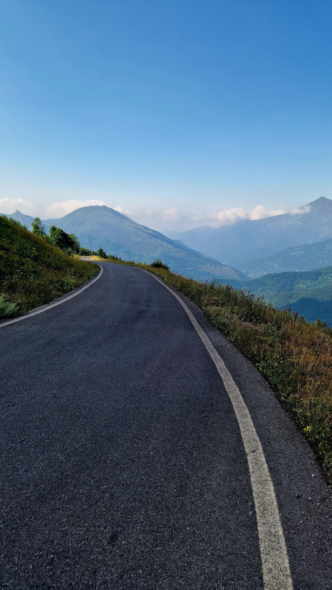
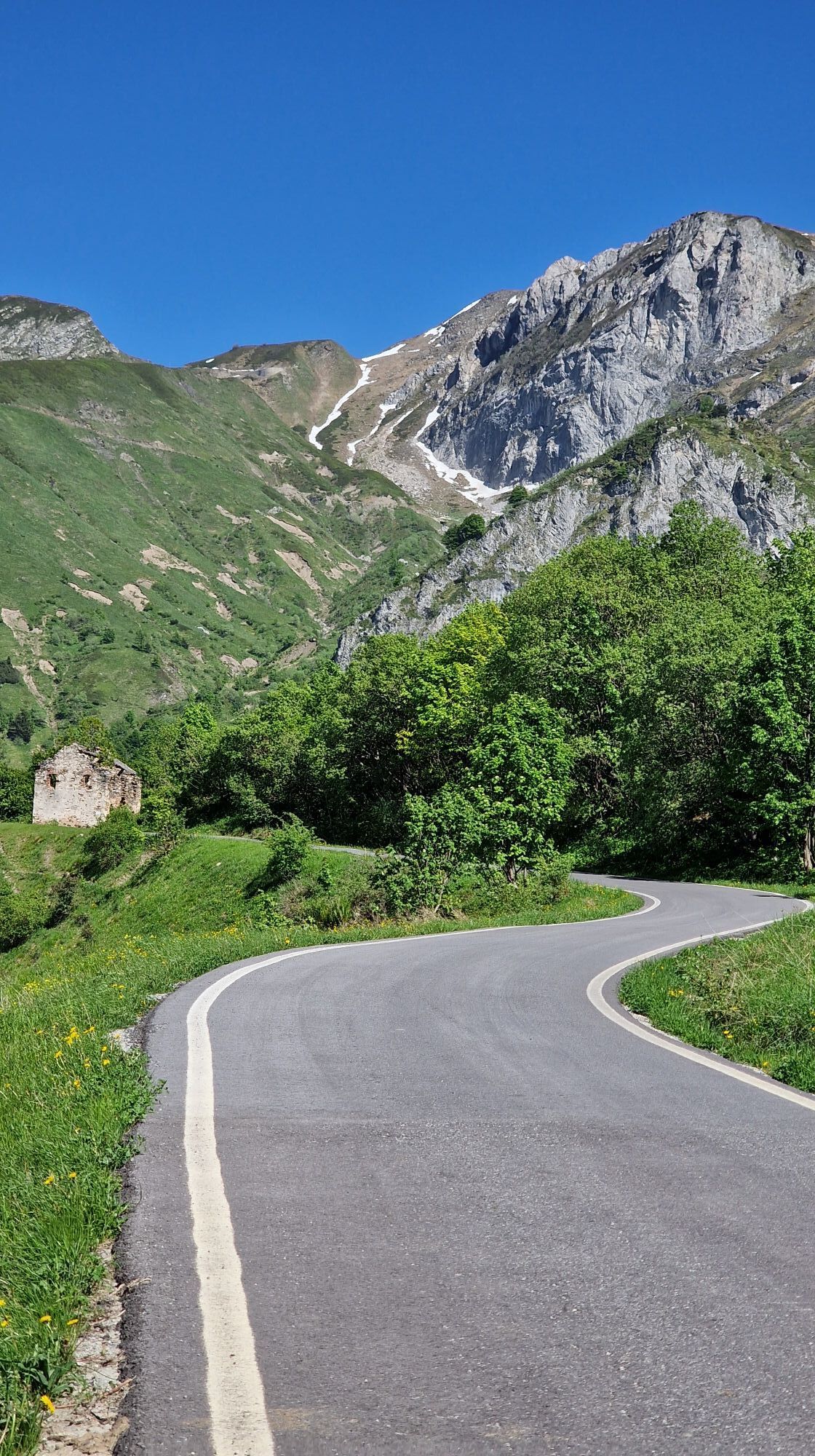
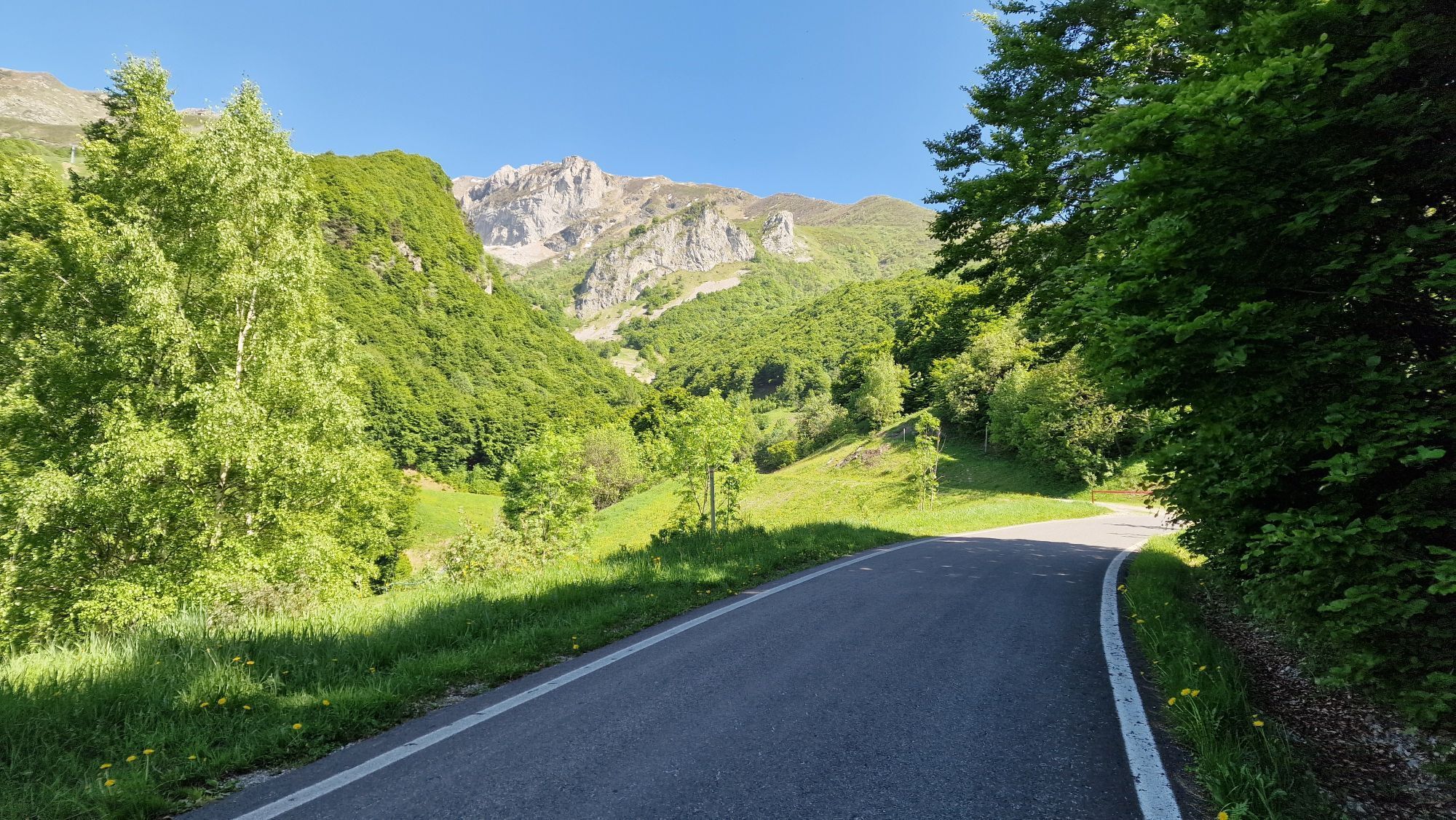
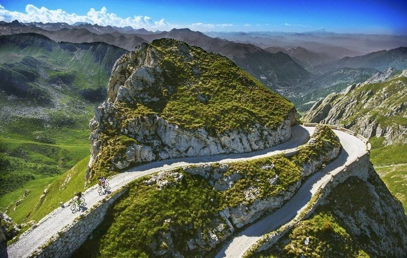
The Alta Via del Sale (High Salt Trail) is a dense network of trails that leads from Limone Piemonte to the Tenda Pass, continuing at high altitude with climbs and descents to Ventimiglia through scenic dirt roads, rough dirt roads, and paved stretches, combining pristine nature and incredible views.

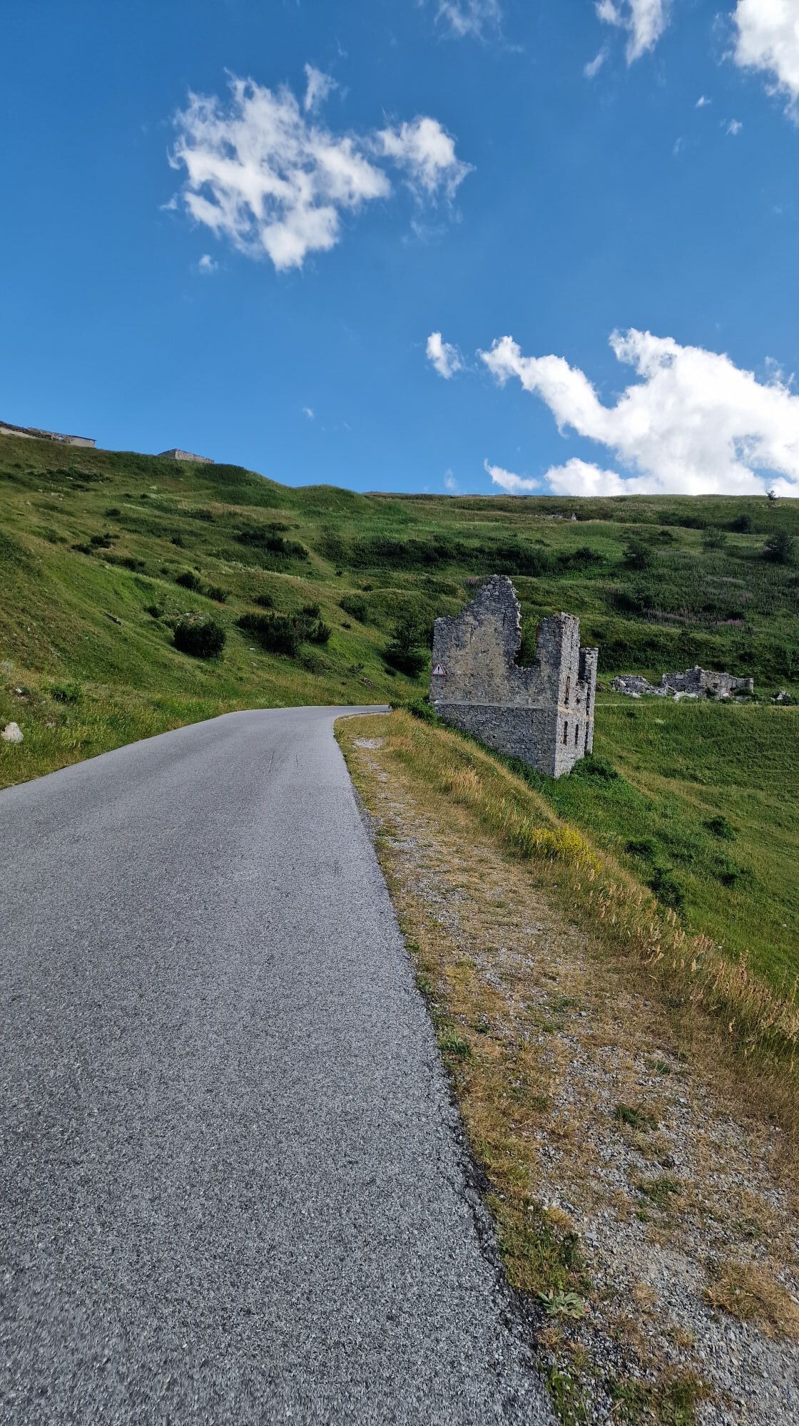
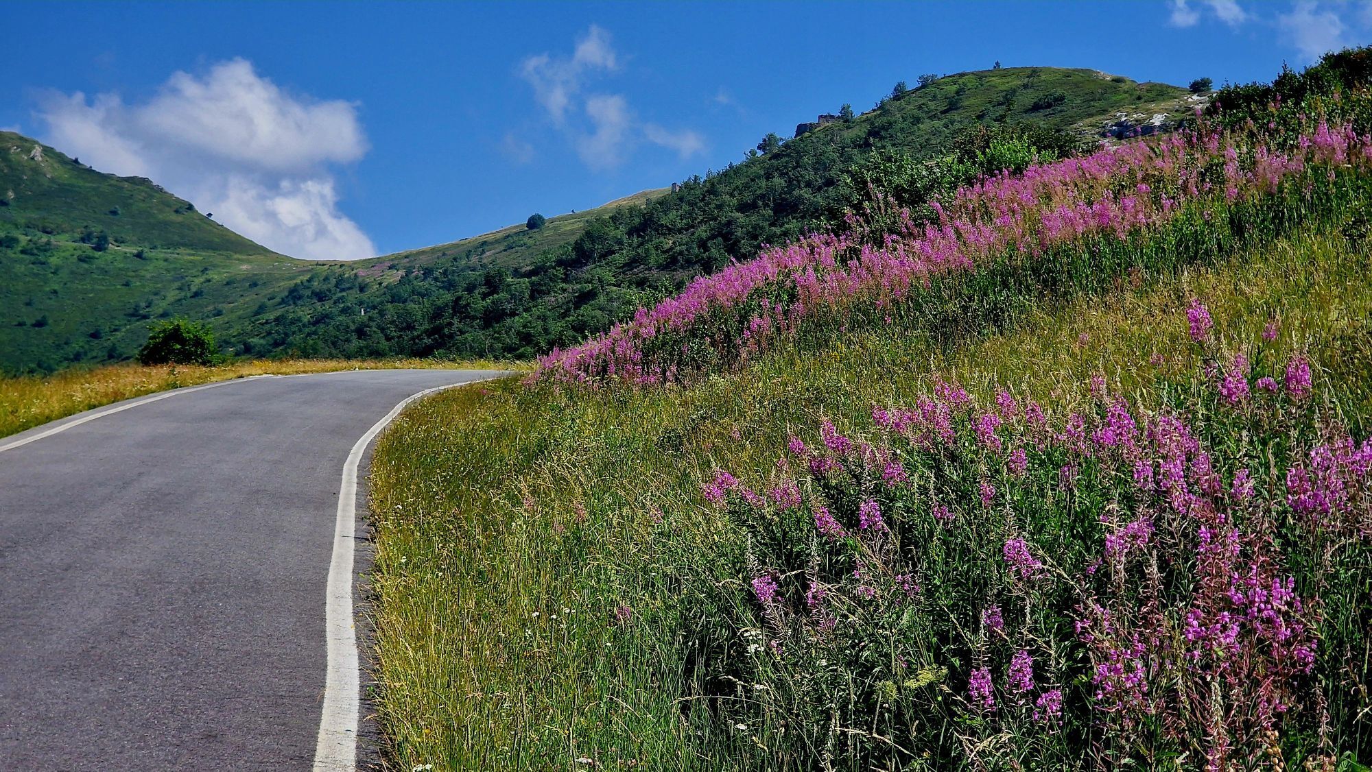
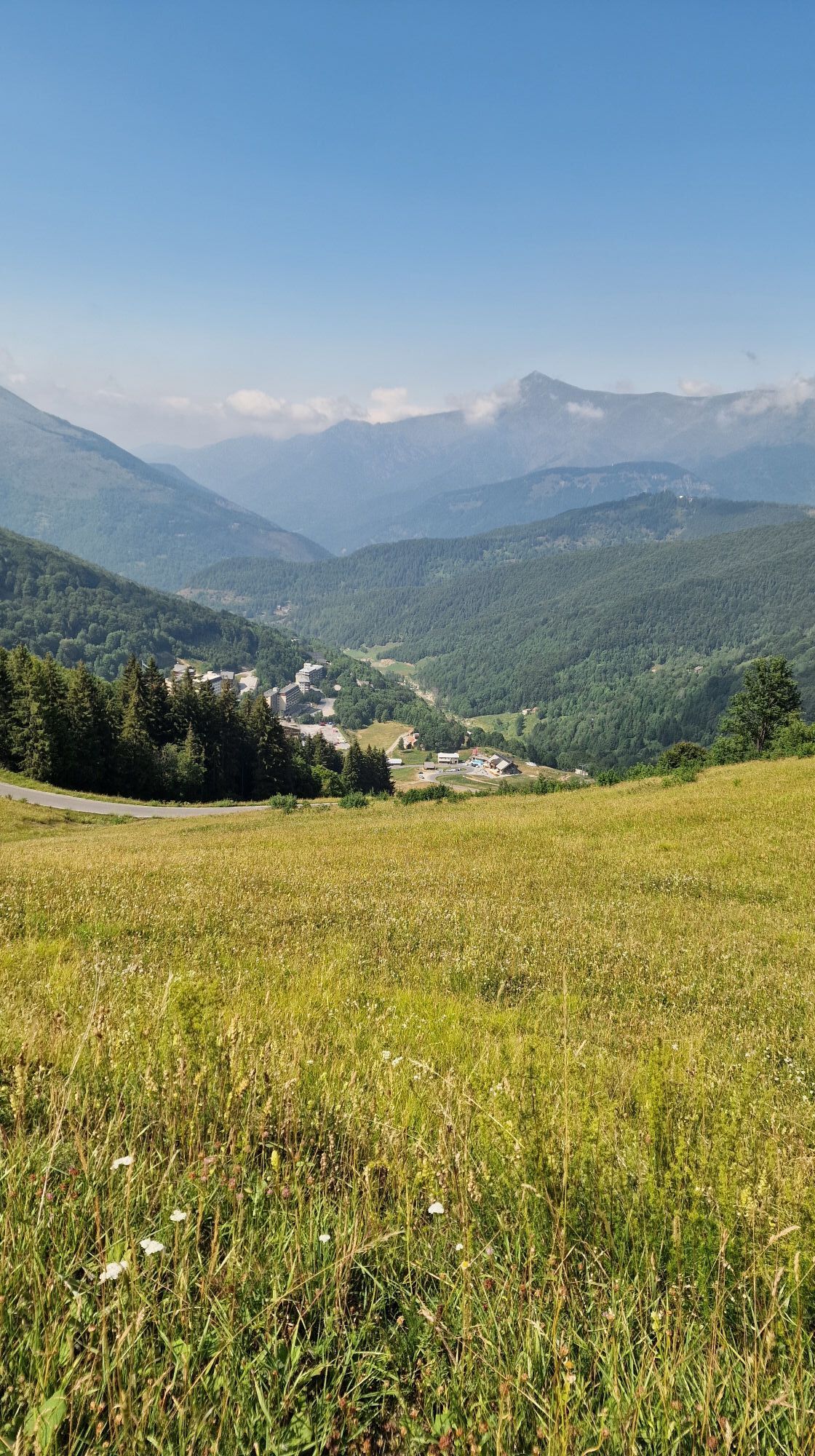
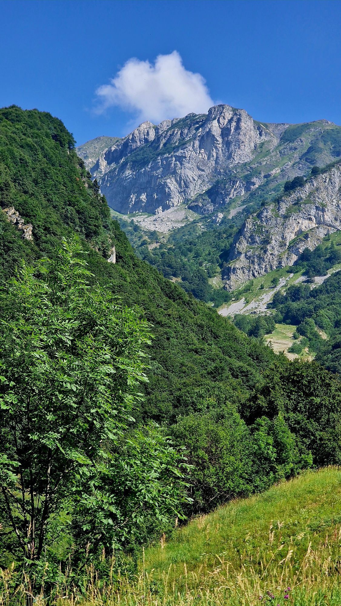
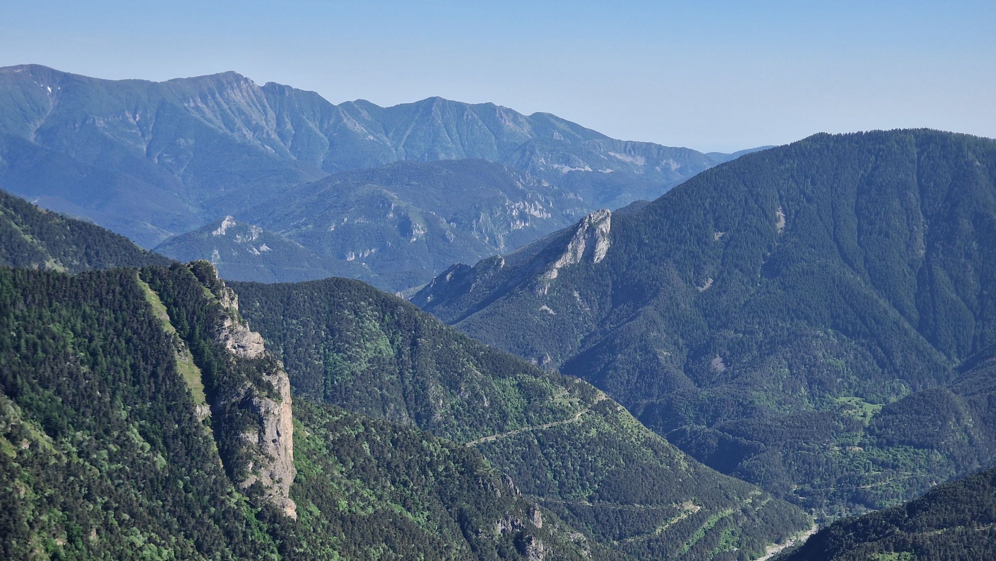
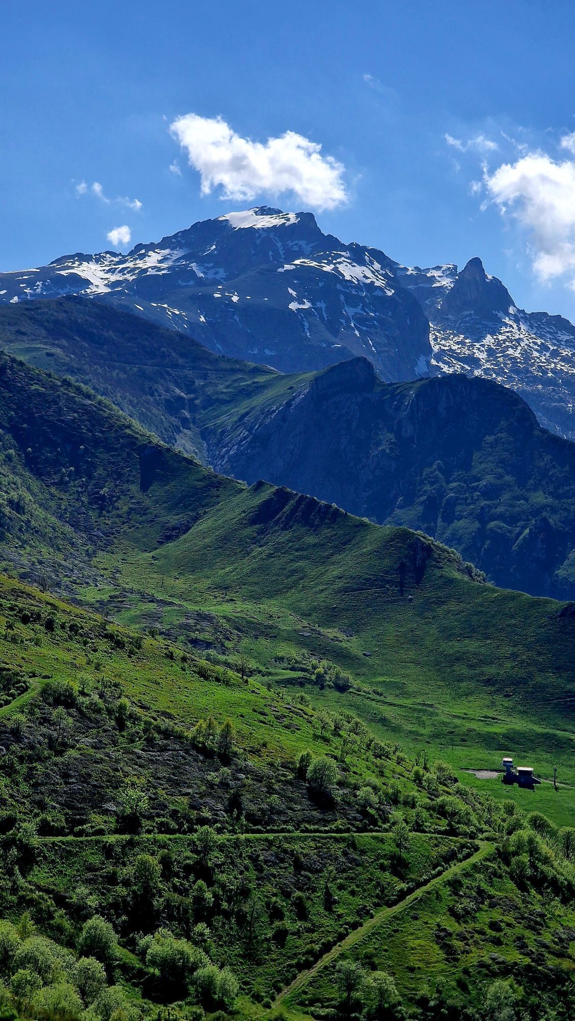
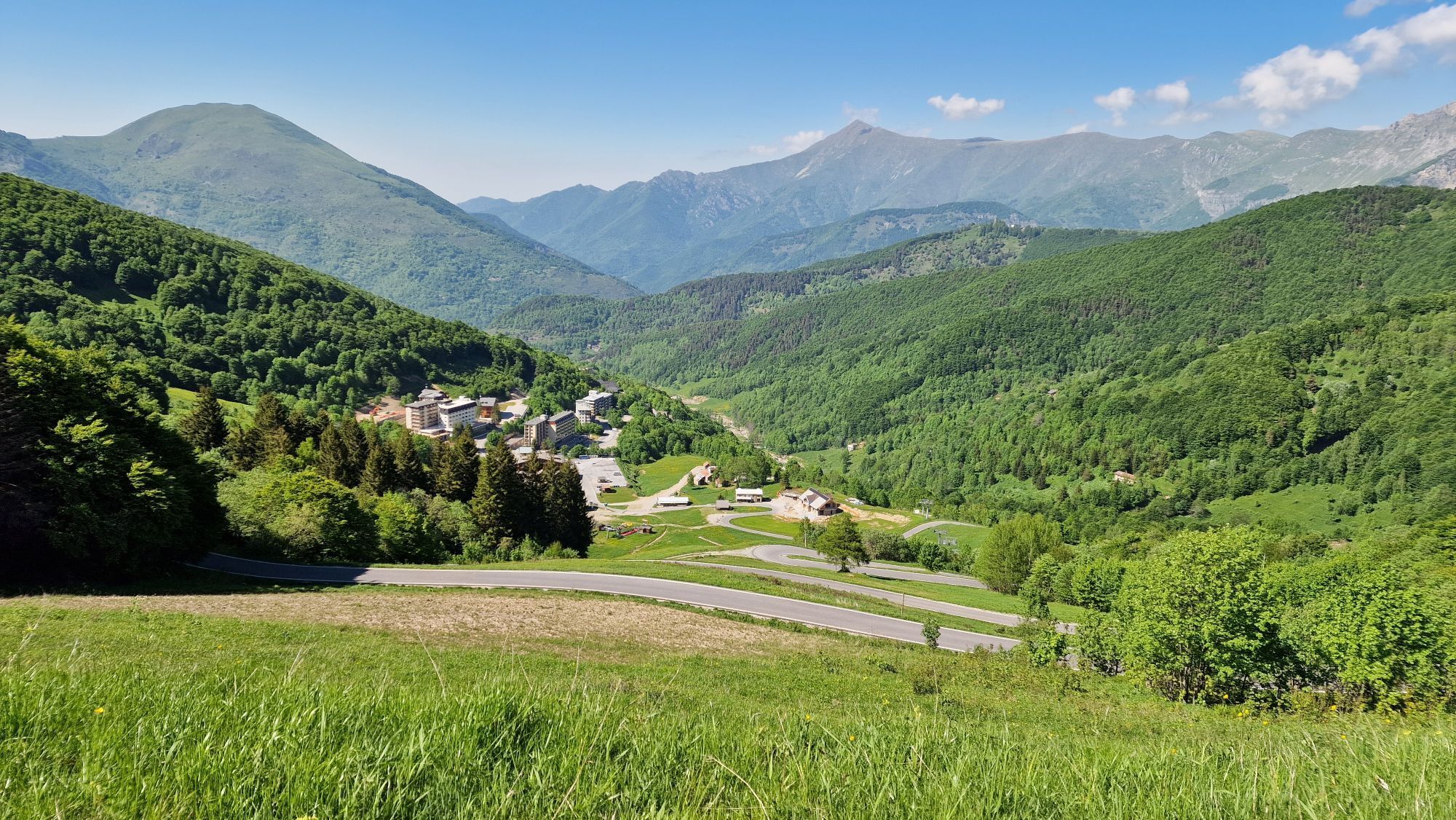
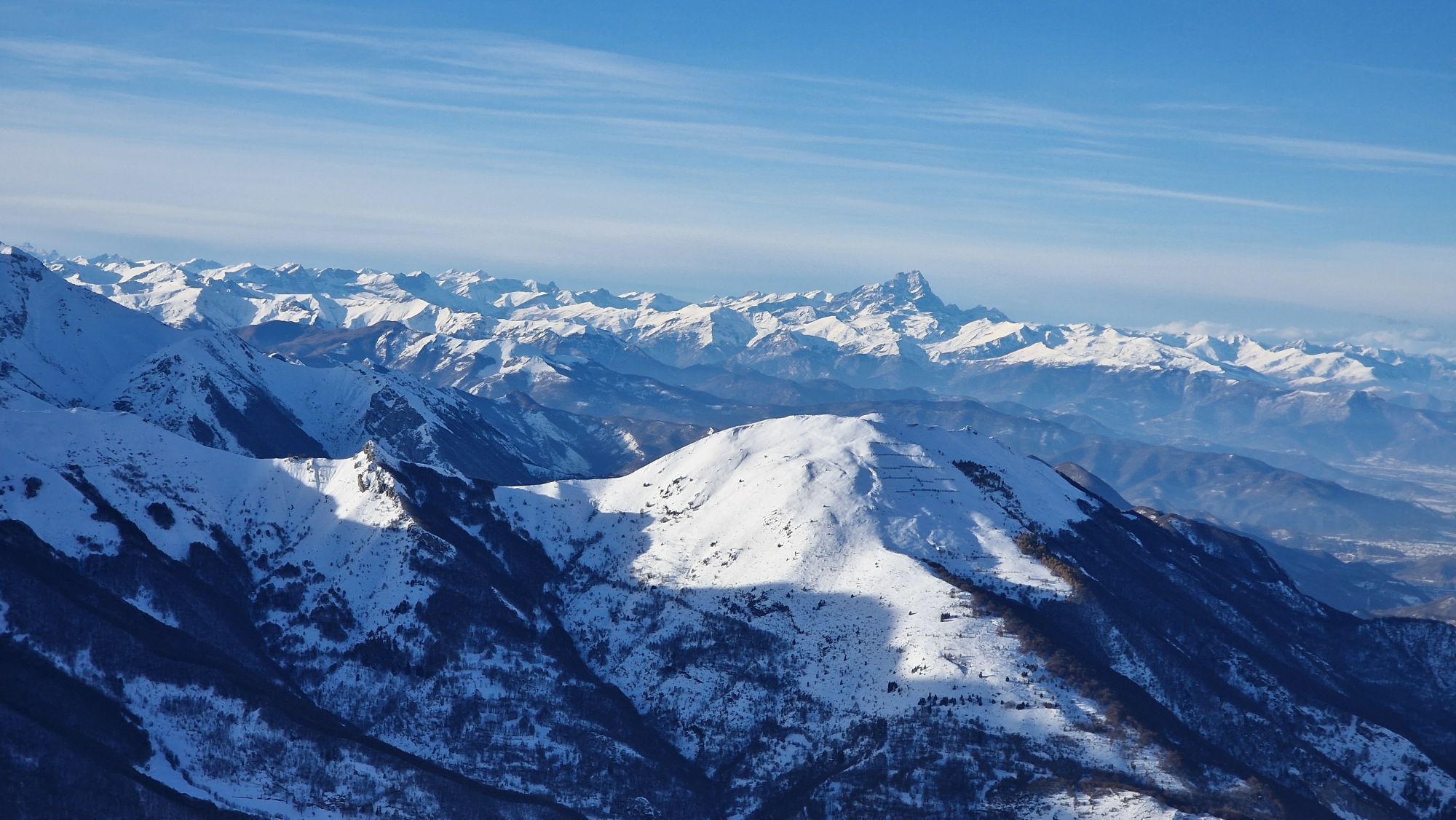
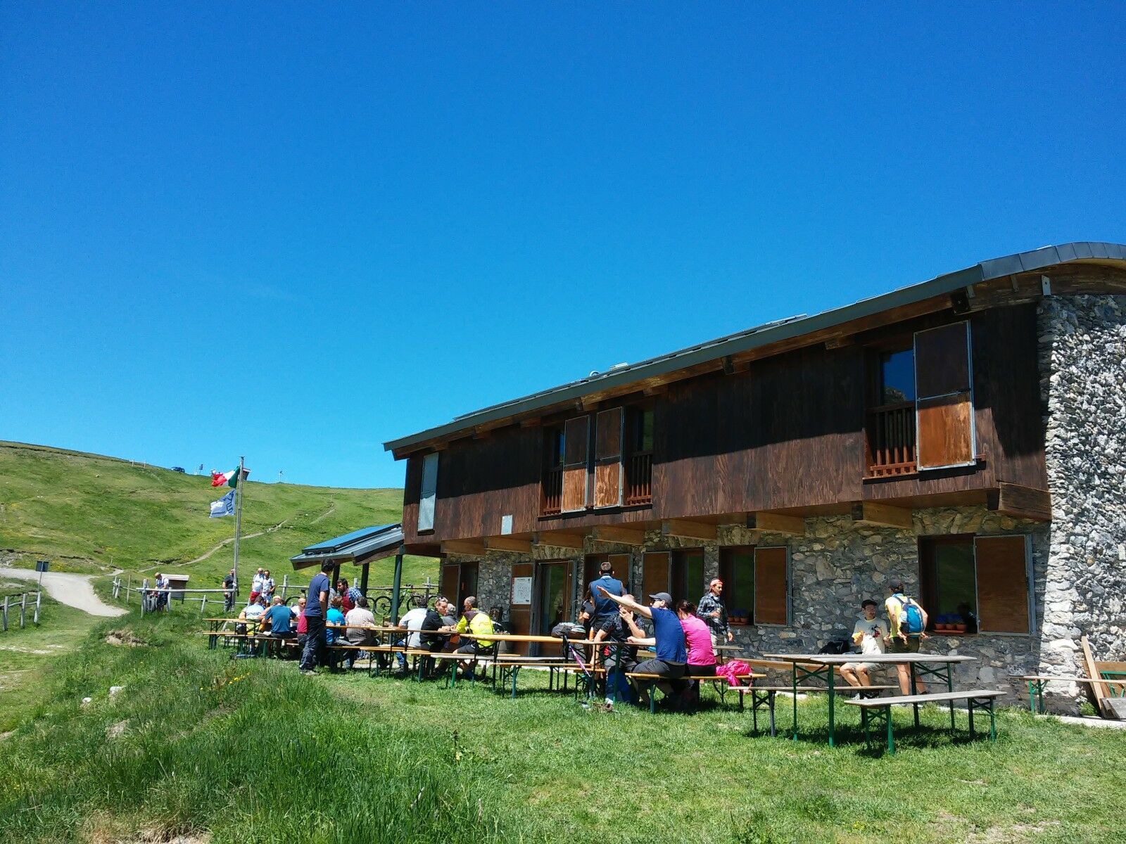
These trails are perfect for mountain biking or e-biking, where the Alpine arc between Piedmont, France, and Liguria provides the backdrop for unforgettable rides through lush vegetation, past ibex, chamois, marmots, and military fortifications, ending directly on the sea of ​​the Ligurian Riviera.

Pot
San Pietro in Vincoli
(995 m)
Kraj čaščenja
0.4 km
Panice Soprana
(1,375 m)
Poravnava
6.5 km
Mont Grai / Monte Grai
(2,013 m)
Vrh
66.7 km
Colle Belenda
(1,382 m)
Vrh
74.7 km
Santuario di Nostra Signora delle Grazie
(108 m)
Kraj čaščenja
98.7 km
Chiesa di San Giorgio
(53 m)
Kraj čaščenja
103.4 km
Oratorio dei Bianchi
(39 m)
Kraj čaščenja
106.9 km
Pot
Zemljevid
The Upper Salt Road, from the Alps to the sea
težko
Mountainbike
112.72 km
Limone Piemonte
(1,002 m)
Železniška postaja
0.0 km
Limone Piemonte
(984 m)
Vas
0.3 km
San Pietro in Vincoli
(995 m)
Kraj čaščenja
0.4 km
Fantino
(1,052 m)
Soseska
1.9 km
Tetti Mecci
(1,115 m)
Vas
2.7 km
Hotel Edelweiss
(1,202 m)
Restavracija
4.4 km
Panice Sottana
(1,198 m)
Poravnava
4.6 km
Bragard
(1,237 m)
Restavracija
4.9 km
Panice Soprana
(1,375 m)
Poravnava
6.5 km
Locanda del Colle
(1,381 m)
Restavracija
6.7 km
Chalet 1400
(1,392 m)
Restavracija
6.8 km
Beccorosso
(1,403 m)
Restavracija
7.0 km
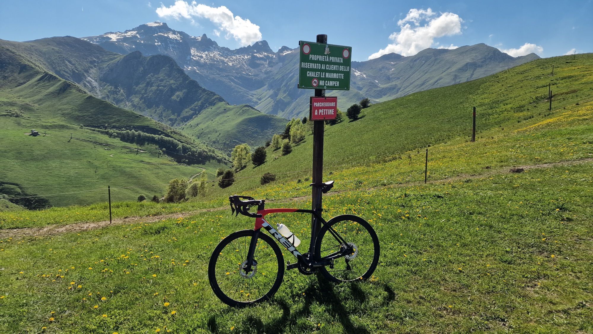
Chalet Le Marmotte
(1,800 m)
Restavracija
12.6 km
Baita 2000
(1,959 m)
Restavracija
16.9 km
Pian del Leone Pancani
(2,050 m)
Postaja gondole
17.8 km
Pian Ambrogi
(2,116 m)
Koridor/teren
28.7 km
Poggio Lagone
(1,898 m)
Koridor/teren
41.0 km
Col Bertrand
(1,960 m)
Gorsko sedlo
66.2 km
Mont Grai / Monte Grai
(2,013 m)
Vrh
66.7 km
Rifugio Monte Grai - Silvio Lepanto
(1,902 m)
Zatočišče (brez upravljanja)
67.1 km
Sella d'Agnaira
(1,857 m)
Gorsko sedlo
67.7 km
Ristorante bar Colle Melosa
(1,538 m)
Restavracija
72.0 km
Colle Belenda
(1,382 m)
Vrh
74.7 km
Carmo Binelli
(1,329 m)
Vrh
76.6 km
Carmo Langan
(1,204 m)
Vrh
78.1 km
Chiesa della Madonna dell'Assunta
(262 m)
Kraj čaščenja
90.5 km
Castel Vittorio
(420 m)
Vas
90.6 km
Ubago
(247 m)
Poravnava
91.3 km
Pigna
(280 m)
Vas
91.3 km
Trattoria La Posta
(247 m)
Restavracija
91.3 km
Agriturismo "Le Caprette del Parco"
(234 m)
Restavracija
92.5 km
Adolfo
(121 m)
Restavracija
97.9 km
Santuario di Nostra Signora delle Grazie
(108 m)
Kraj čaščenja
98.7 km
Antico Frantoio
(111 m)
Restavracija
98.8 km
Dal Vecchio Forno
(102 m)
Restavracija
98.9 km
Isolabona
(107 m)
Vas
99.1 km
Cappella di San Filippo Neri
(58 m)
Kraj čaščenja
102.9 km
Dolceacqua
(55 m)
Vas
102.9 km
Chiesa di San Giorgio
(53 m)
Kraj čaščenja
103.4 km
Chiesetta di San Rocco
(57 m)
Kraj čaščenja
104.5 km
ex chiesetta Sant'Andrea
(39 m)
Kraj čaščenja
105.8 km
Camporosso
(27 m)
Vas
106.8 km
Oratorio dei Bianchi
(39 m)
Kraj čaščenja
106.9 km
Bigauda
(15 m)
Koridor/teren
107.7 km
Chiesa di Cristo Re
(13 m)
Kraj čaščenja
110.1 km
Ventimiglia
(25 m)
Mesto
112.4 km
Ventimiglia
(8 m)
Železniška postaja
112.6 km
Informacije o turneji

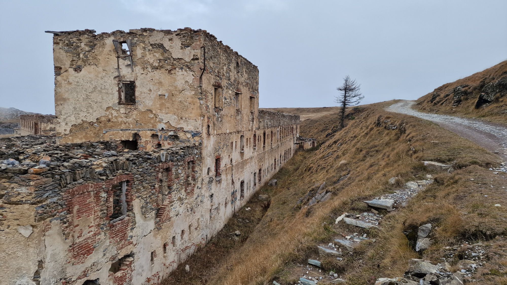
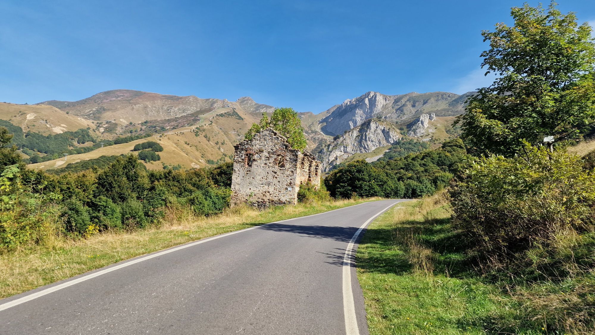
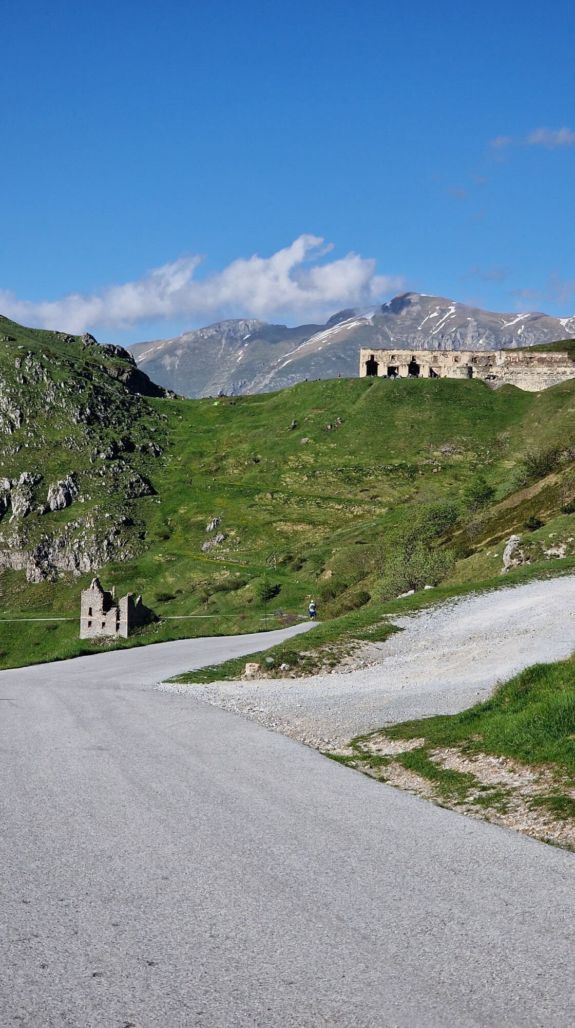
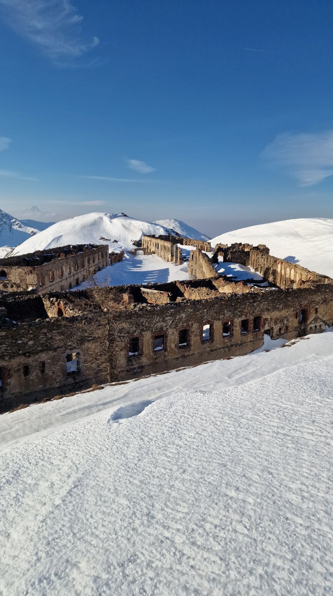
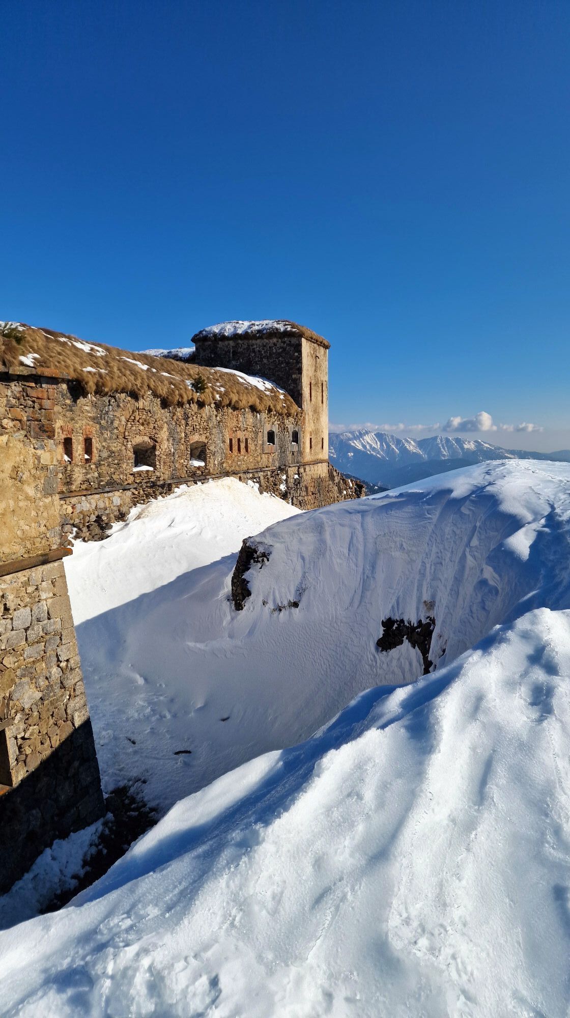
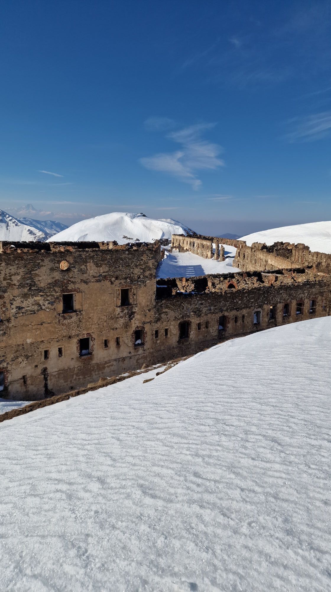
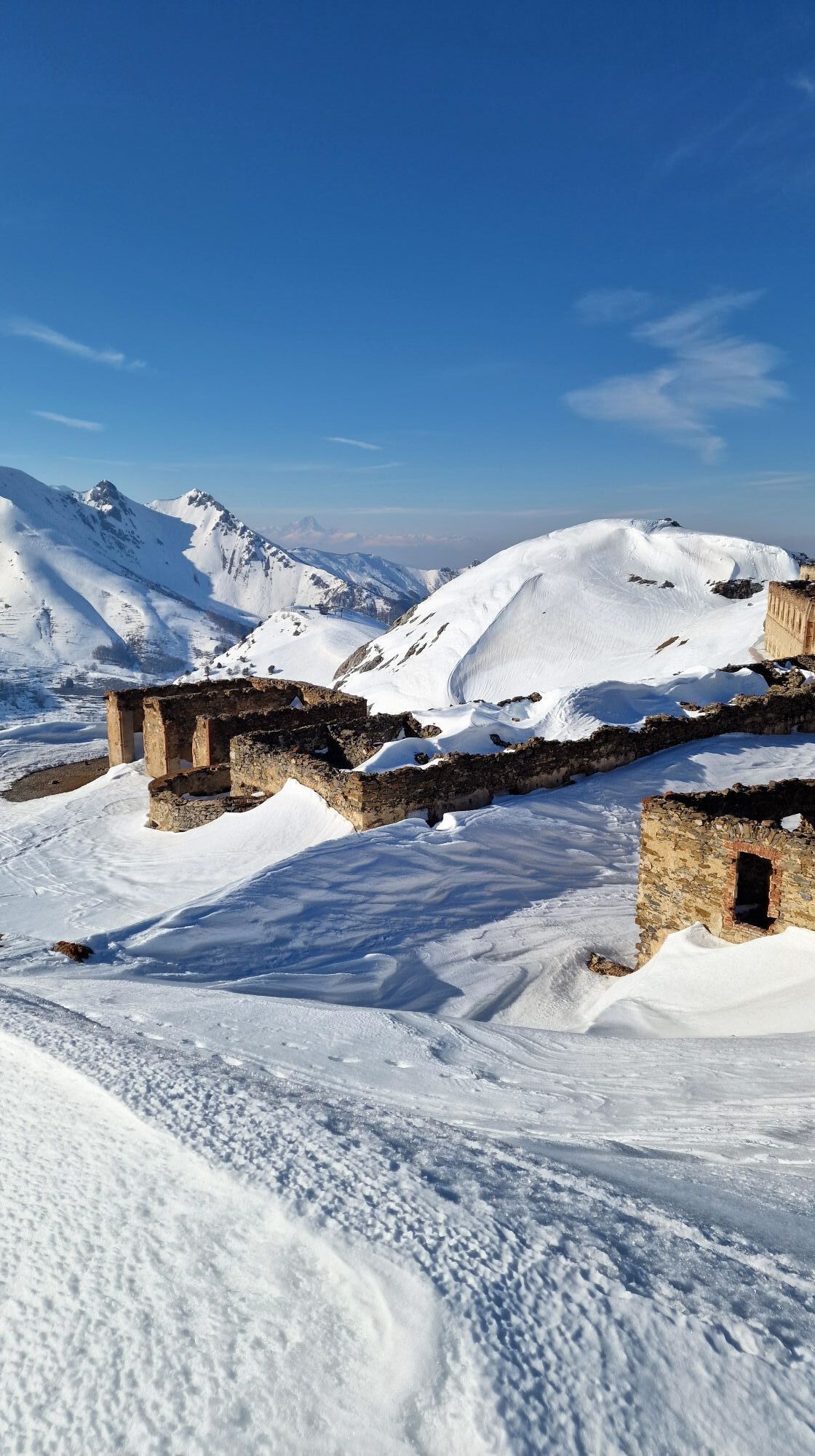
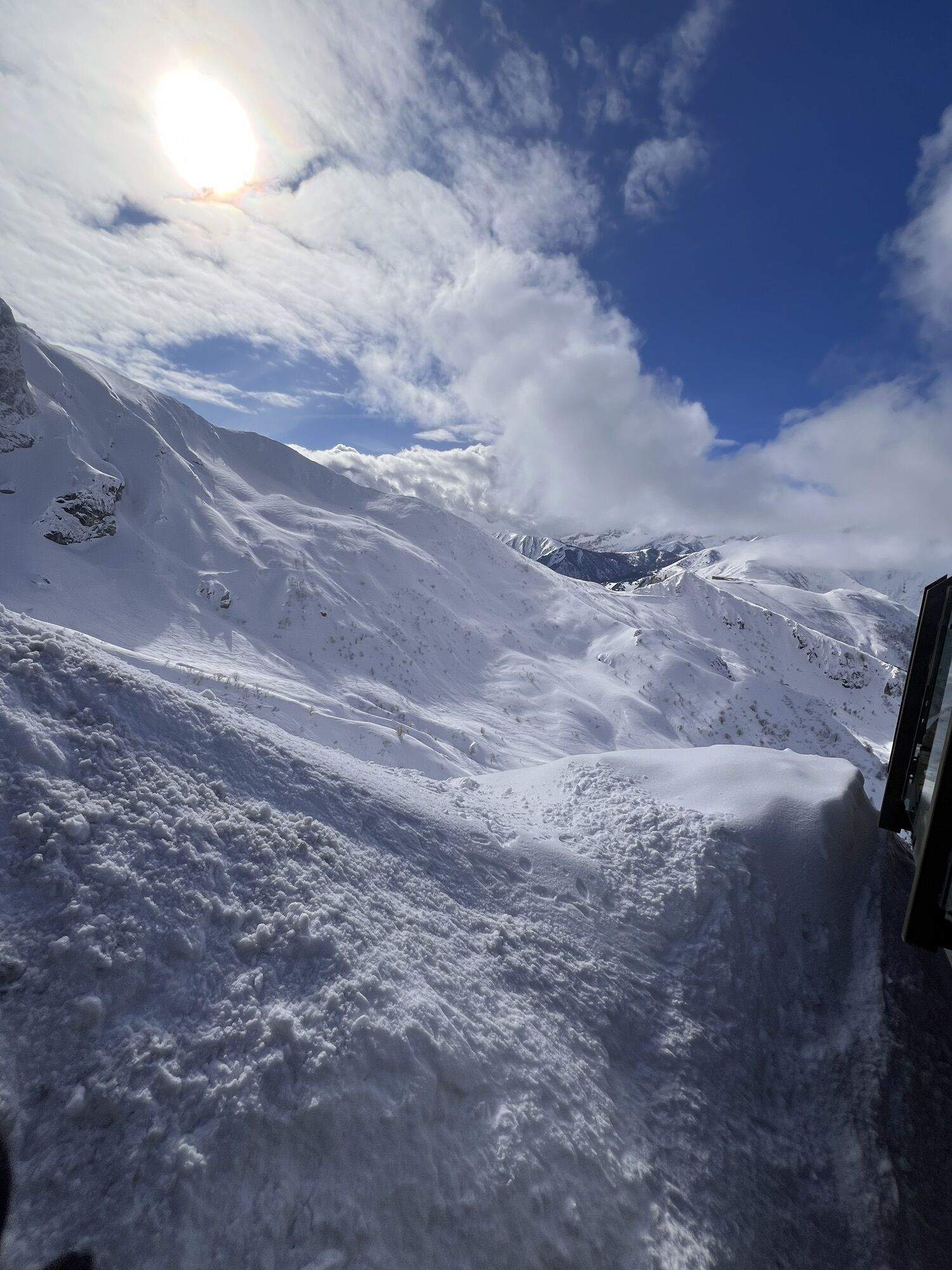
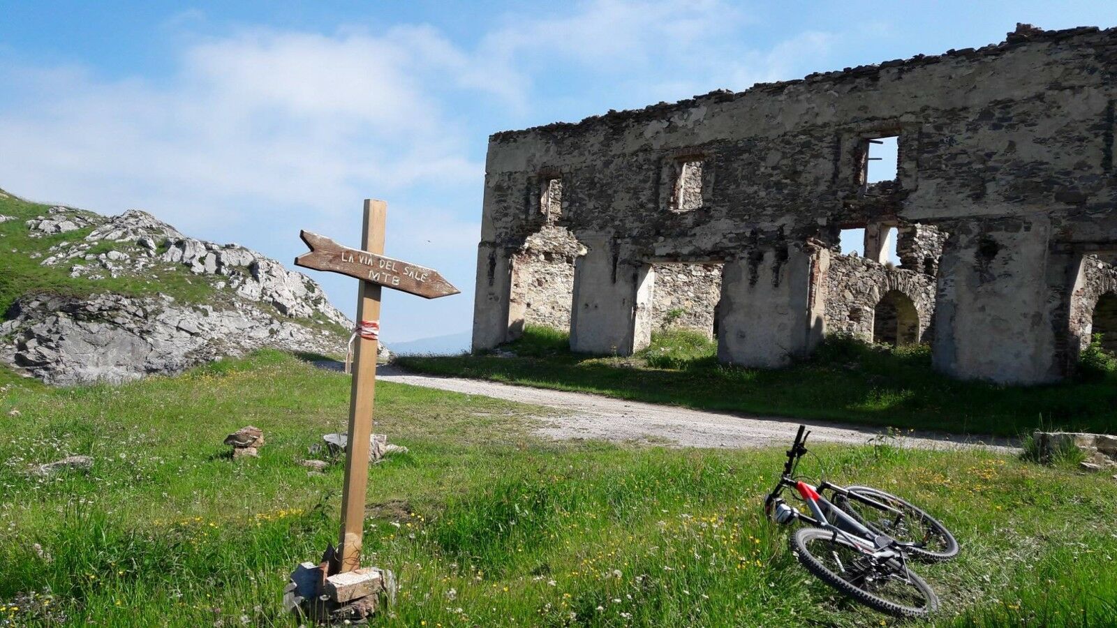
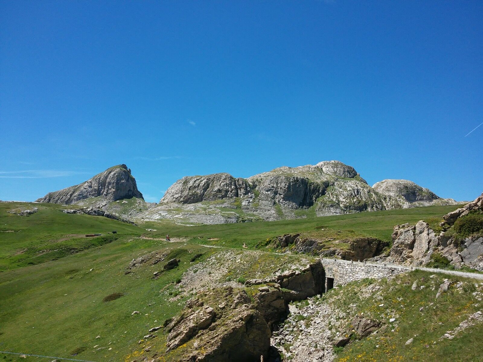
A spectacular dirt road in the Maritime Alps that runs between 1,800 and 2,100 metres above sea level near the Italian-French border, along the former military road that connected the forts of the Alpine defence system on the border between Italy and France between the 18th century and World War II.

Tehnologija
3 / 6
Stanje
6 / 6
Pokrajina
6 / 6
Izkušnje
6 / 6
Najboljši letni čas
Jan
Feb
Mar
Apr
Maj
Jun
Jul
Avg
Sep
Okt
Nov
Dec
Skupna turneja
Zemljevid
The Upper Salt Road, from the Alps to the sea
težko
Mountainbike
112.72 km
Napaka
Zgodila se je napaka. Prosimo, poskusite znova.
Informacije o poti
Geološki poudarki

Da

Ogled vrha

Da

Oprema

Sul percorso si trovano poche fonti d’acqua, per cui è necessario portarne una buona scorta.

Dodatne informacije in nasveti
Stopnja težavnosti

S2
Dodatne informacije
The route is traditionally divided into two stages, with overnight stays at the Don Barbera refuge.

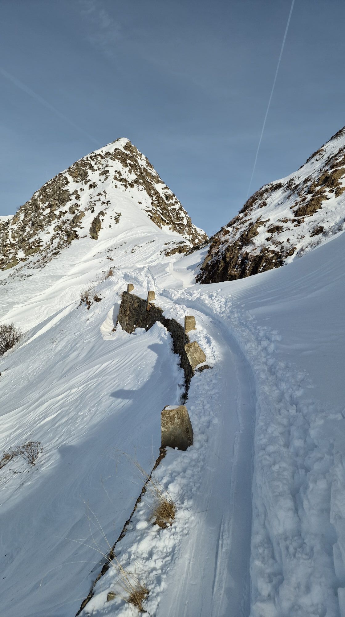
The Alta Via del Sale is a unique route: on the one hand, the lack of singletrack makes it uninteresting for expert bikers, on the other, it's not suitable for beginners, as it requires considerable experience to fully enjoy it. Not to be underestimated are the high altitudes, variable weather, loose terrain, managing unexpected mechanical problems (always lurking), battery savings for those using pedal-assist bicycles, the lack of dedicated signage (GPS tracking is essential), a loaded backpack since you'll be spending the night outdoors, and the inevitable lower back pain.

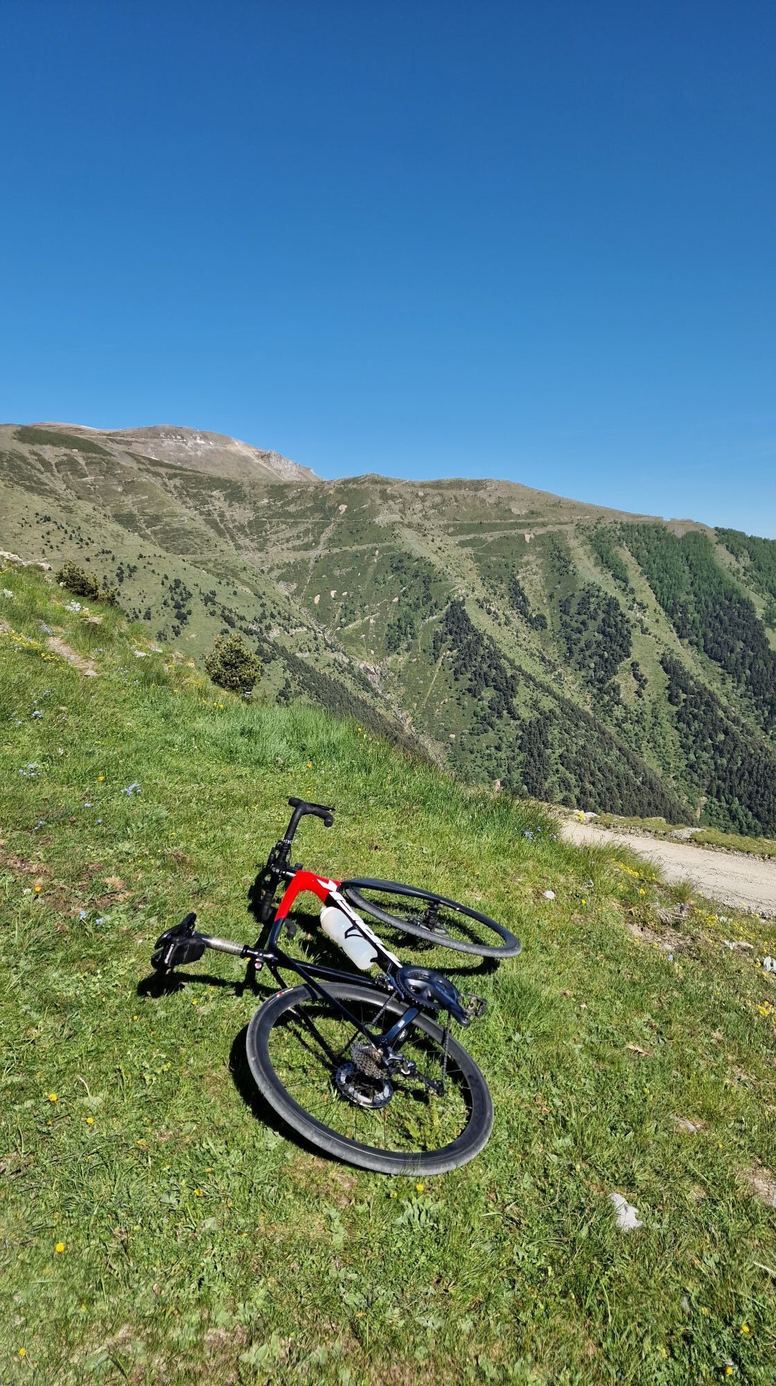
Although some daredevils ride it on gravel bikes, a full-suspension mountain bike is highly recommended.

The route should be avoided on hot days: it's best to do it at the beginning or end of the summer season, depending on when the refuges are open.

The Alta Via del Sale is open to motorized traffic, but on Tuesdays and Thursdays it is reserved for pedestrians and cyclists. Bicycles must purchase a symbolic €1 ticket at the access toll booth near Baita 2000. E-MTBs can be rented at the Bottero Ski shop in Limone Piemonte.

Unfortunately, there are few trains returning from Ventimiglia to Limone Piemonte, with inconvenient schedules and undersized trains. To avoid this, it's best to avoid summer Sundays, when trains are crowded with people returning from the beach.

Please note that a supplement is required to transport bicycles. Please note that the itineraries may include stretches of road traffic.

The authors and inspectors of the routes do not assume any responsibility for the information contained in the routes.

Nasveti
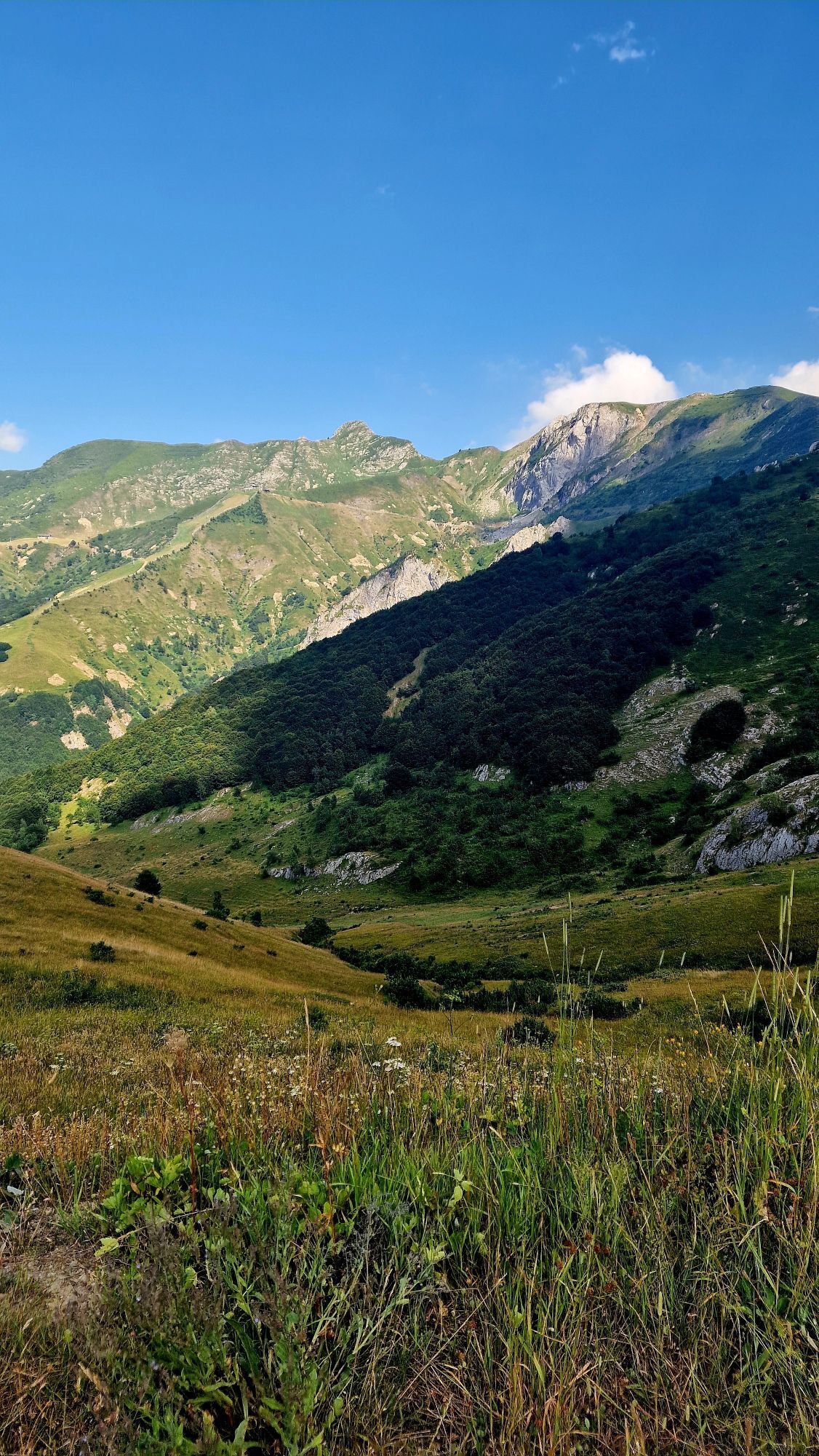
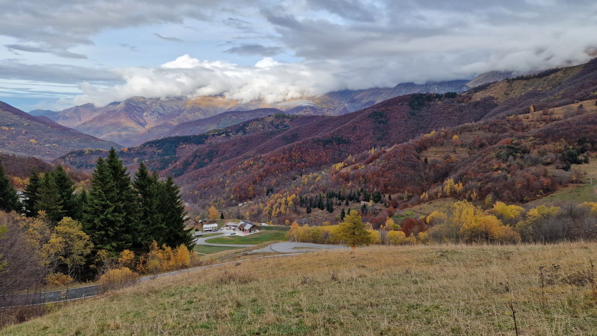
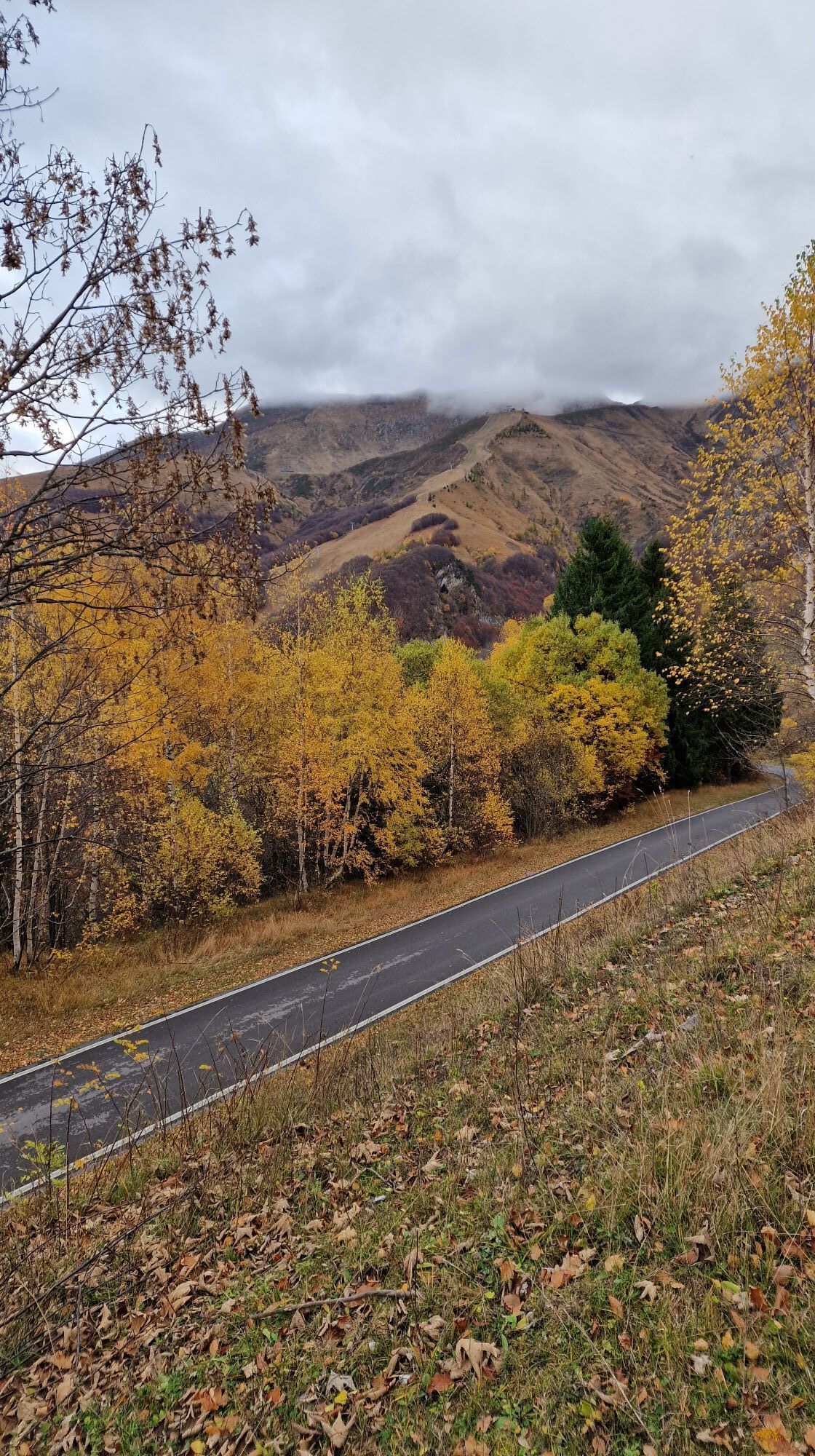
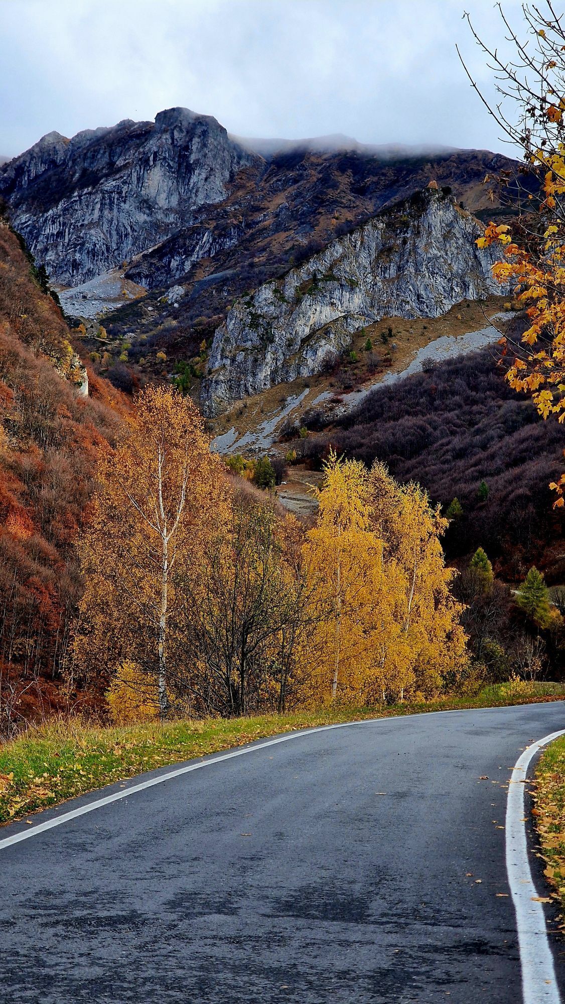
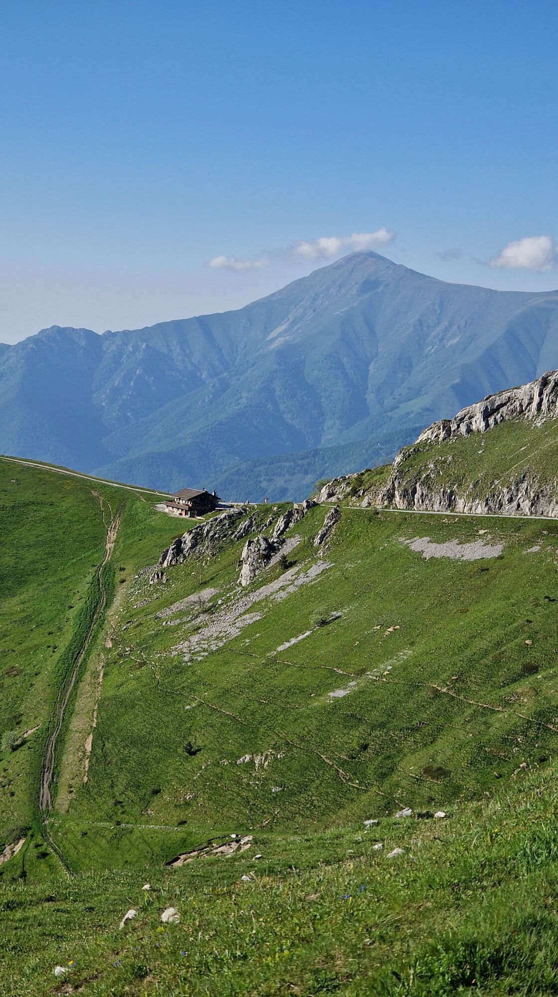
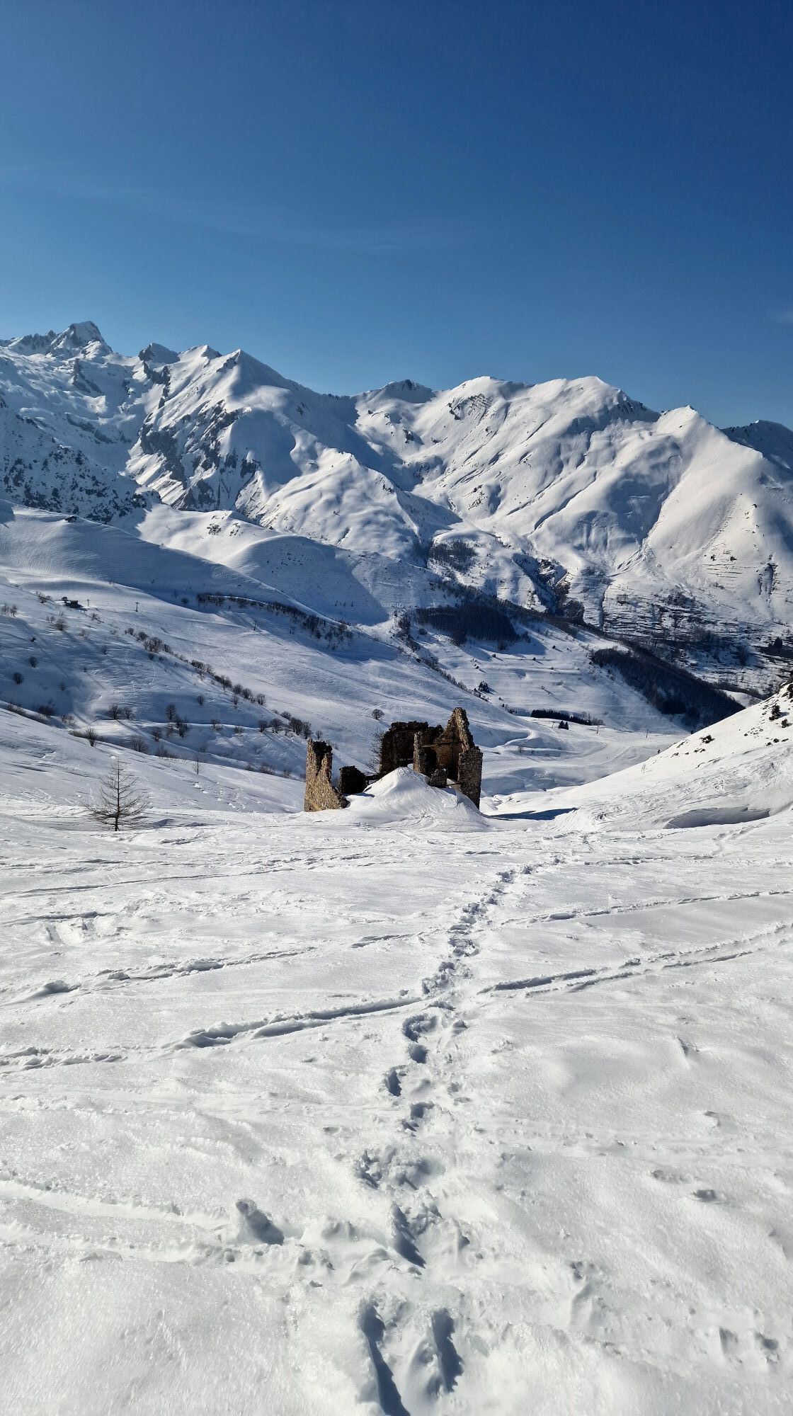
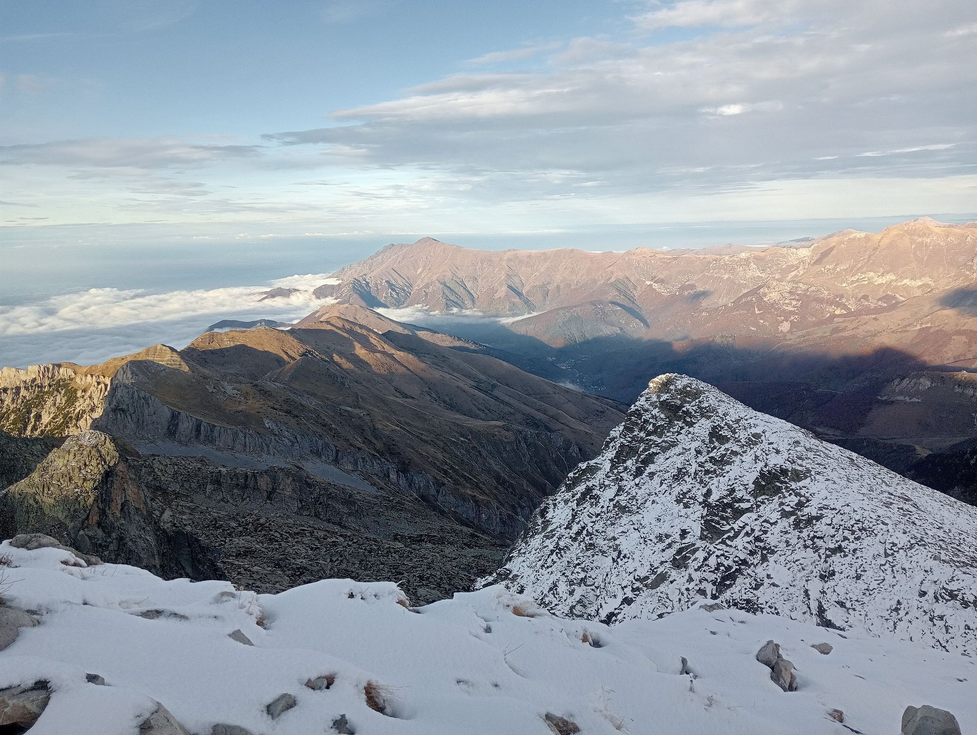
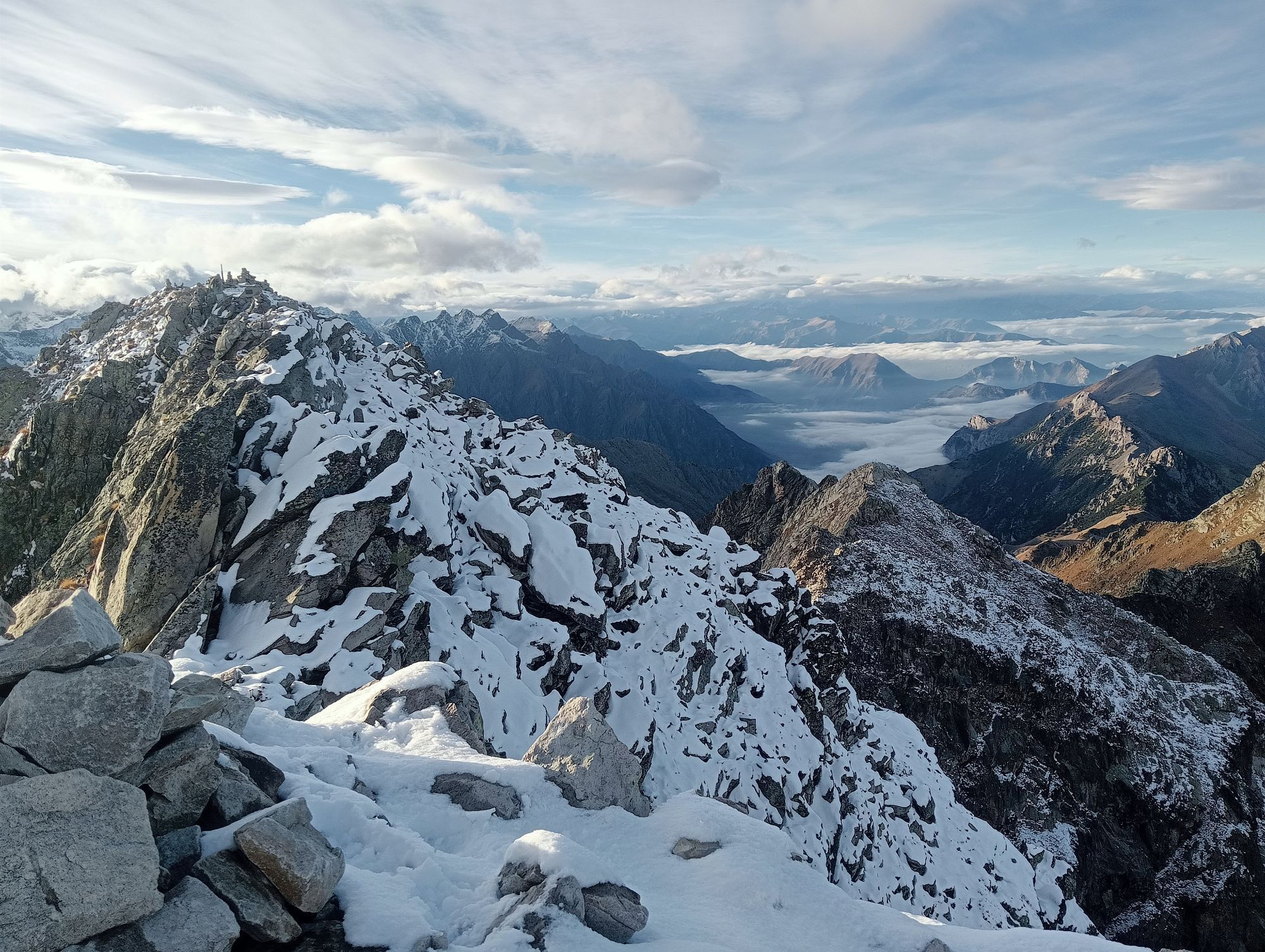
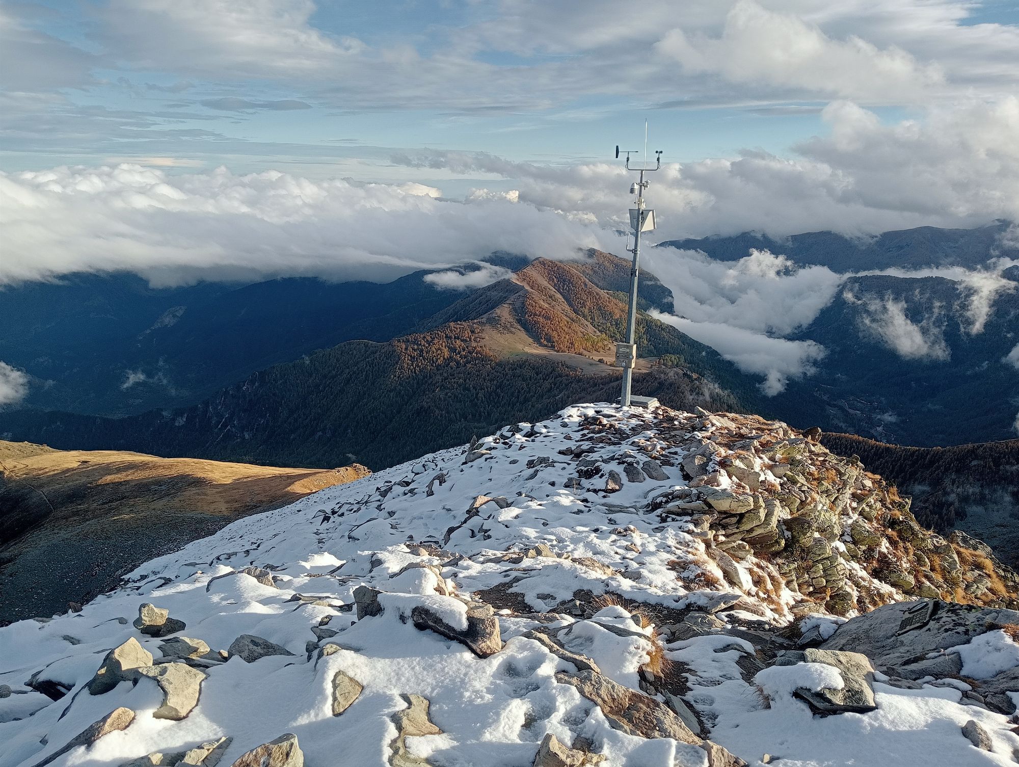
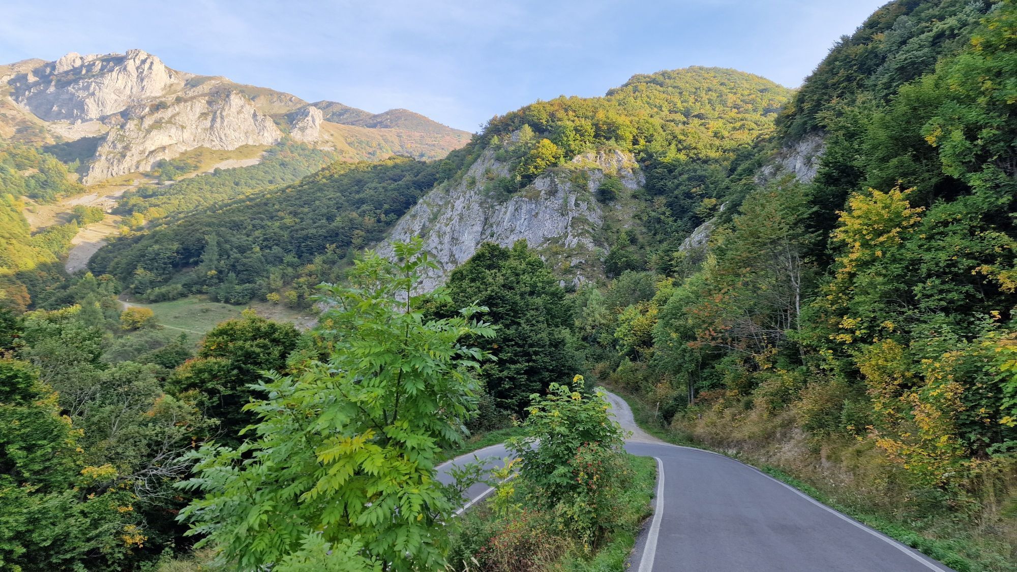
The route passes through enchanting places, such as the evocative Carsene area with its almost lunar landscapes, the pristine environments of the Maritime Alps Protected Areas and the Ligurian Alps Park, characterized by rich biodiversity, the marvelous Bosco delle Navette, and military fortifications.

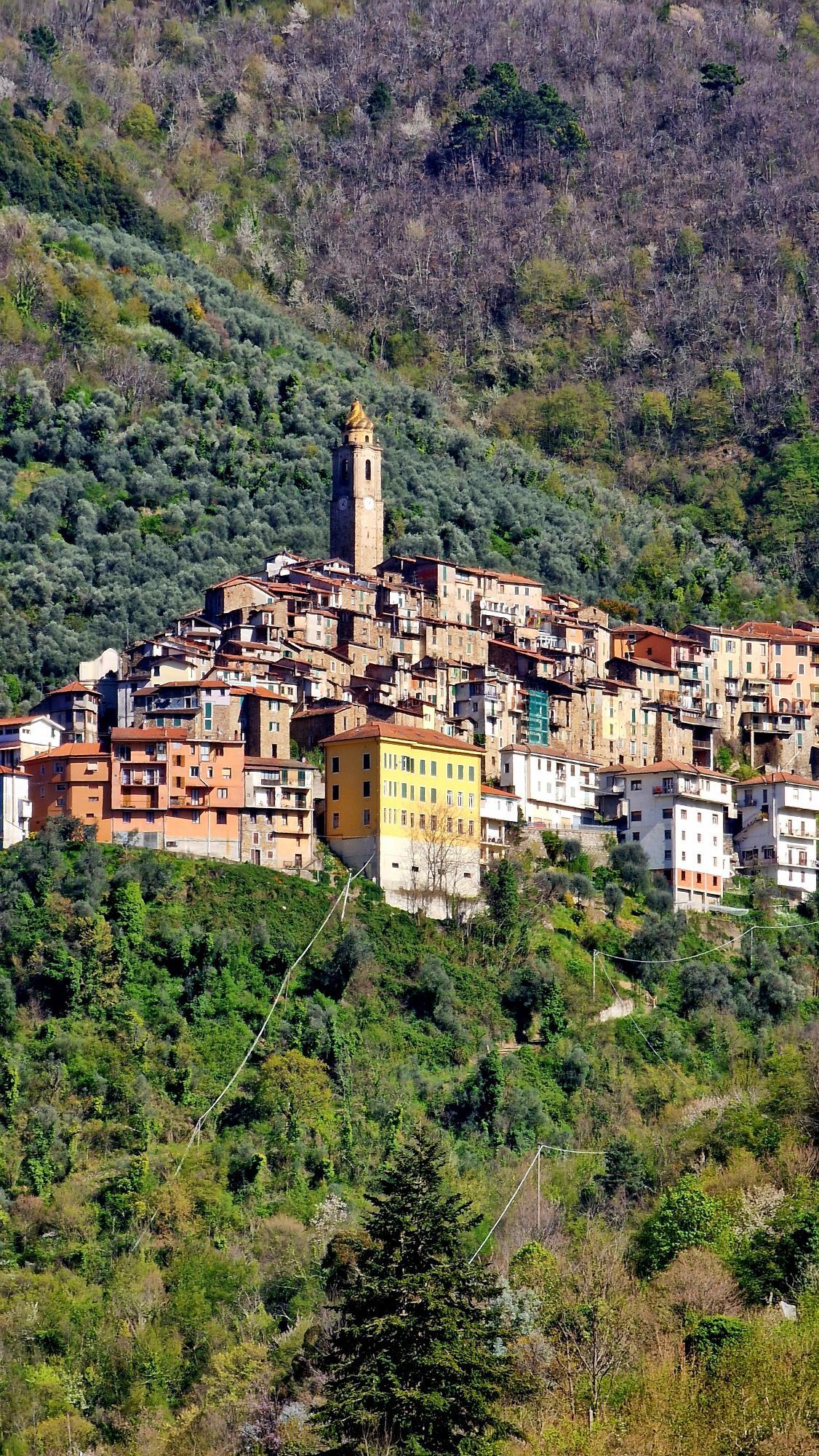
Once a transit point for shepherds, pilgrims, and traders who, via the Alpine passes, reached Northern Europe from Liguria and Provence, establishing dense trade networks. Today, this cross-border route has become an important outdoor tourism destination: a destination for e-bike and mountain bike excursions, it allows you to explore unspoiled territories rich in flora and fauna.

The Alta Via del Sale is more than ever the pulsating artery of a vast territory that can be discovered not only through the route itself but also thanks to the numerous itineraries that develop in this region, between Italy and France, between the mountains and the sea, with connections to the Ligurian Cycle Path.

Še ni pregledov
Napišite pregled

Mnenja pomagajo drugim uporabnikom pri izbiri naslednje pustolovščine. Ocenite samo izlet, ne pa tudi vremena ali prigrizka.

Izberite eno od zvezdic, da ocenite ogled
Slaba turneja
Šibka turneja
Povprečna turneja
Dobra tura
Odlična tura
bergfex logoPridobite vpogled Vedno v živo na mestu z več kot 9.500 spletnimi kamerami. bergfex Kot uporabnik Pro si lahko zdaj ogledate ustrezne spletne kamere za številne izlete v aplikaciji izleti iz. Tako si lahko neposredno ogledate trenutne razmere.
Pohodništvo in sledenje

Pohodništvo in sledenje

prenos za iOSprenos za Android
Pohodništvo in sledenje
Zaradi več kot 550.000 predlogov izletov, podrobnih zemljevidov in intuitivnega načrtovanja poti je aplikacija obvezna oprema za vse ljubitelje narave.
bergfex