



Sportinia

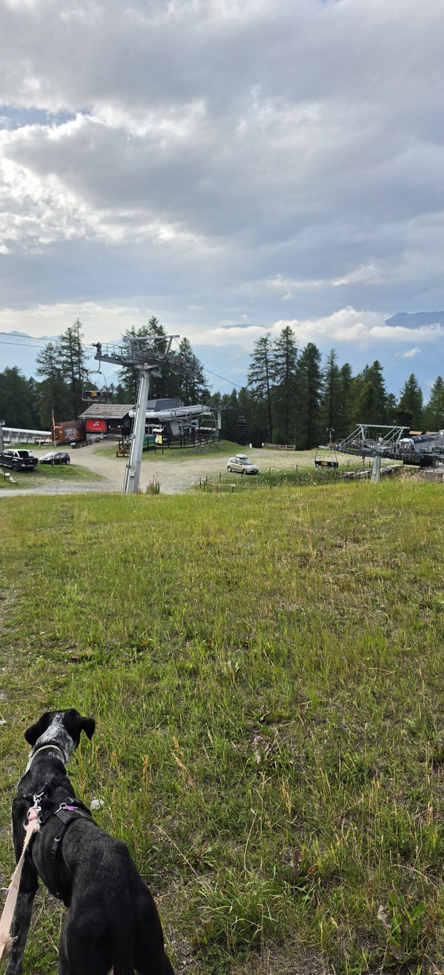
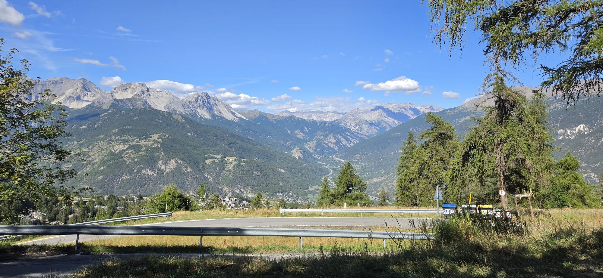
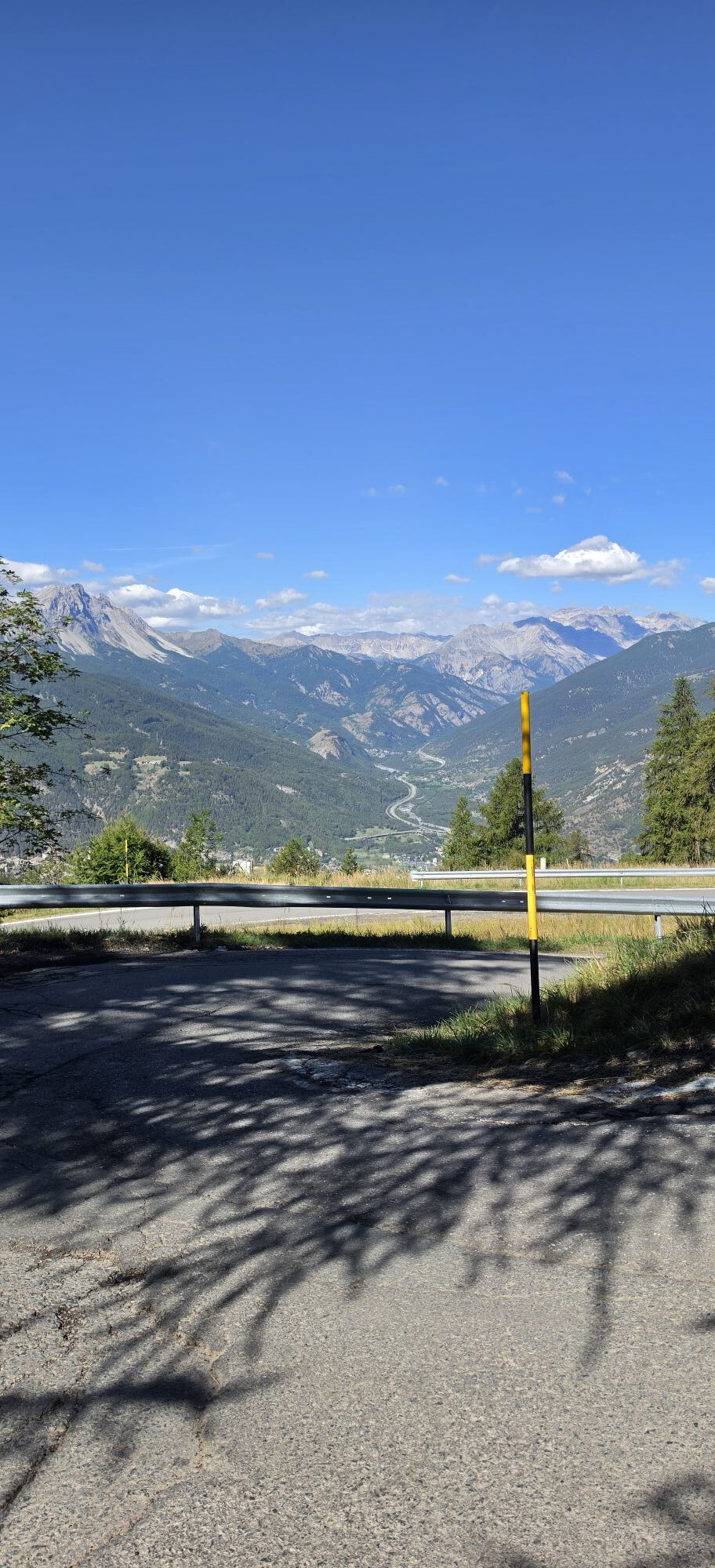


The route from Sauze d'Oulx to the Sportinia plateau is not too demanding, although some sections of the asphalted road leading to Richardette and the Ex Stazione Sperimentale Vezzani are quite steep....
Being an access road to the famous ‘Strada dell'Assietta’, the road surface is wide and fairly even. Only the passage of motor vehicles could make the ride less pleasant.
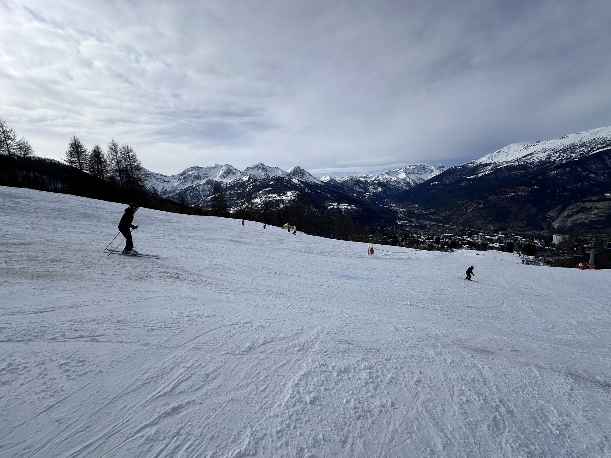
The route is surrounded by a dense larch forest and, in places, crosses ski slopes. The Sportinia plateau offers a beautiful panorama of the peaks in front of Sauze d'Oulx and refreshment places open in high season.
On the return journey, having reached the Alpe Gaggere mountain pasture, it is possible to return to the starting point by taking the road that leads to the Ciao Pais refuge and to Clotes.

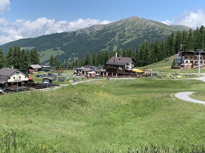
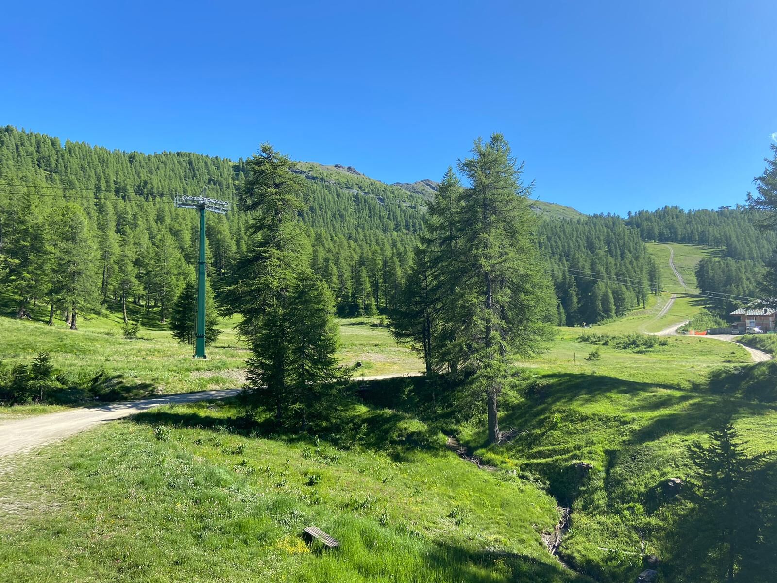

Starting from the centre of Sauze d'Oulx, follow the first part of via Clotes and then turn right along via Miramonti. At Piazzale Miramonti, continue left uphill in the direction of via Dolmaire, Richardette (Km. 2.60). Continue to follow the asphalted road until, after a rather steep climb, you reach the Ex Istituto Vezzani, where the asphalted road stops and the dirt road ‘Strada dell'Assietta’ begins. The road continues alternating between short, fairly steep ramps and long stretches with moderate gradients. When you reach the Alpe Gaggere mountain pasture, ignore the downhill road on the right (you may use it on the return journey) and continue straight ahead until you reach the Clot Bourget hut. After crossing the plateau of Pian della Rocca, continue along road to Sportinia.
MTB or e.bike
Very popular trail even among hikers - regulate speed and pay attention
By car from France: From the UK take the A 43 through the Frejus Tunnel (toll) then A32 motorway as far as Oulx.
By train: the mainline railway which connects Paris to Milan by TGV has a station in Oulx. Public transport and taxis services operate from Oulx station to Sauze d’Oulx. See also: www.snowcarbon.co.uk.
Parking Genevris
From Sportinia you can return to Sauze d'Oulx following the same route as the outward journey or you can:
at Alpe Gaggere turn left towards Ciao Pais, Clotes. Slightly steeper and more challenging route. near the Pian della Rocca reservoir (on the left) take the more challenging road, suitable only for experienced cyclists, that leads to Sarnas and Tachier and then back to Sauze d'Oulx.
Spletne kamere s turneje

Priljubljeni izleti v okolici
-
5.0
BARDONECCHIA Forte Jafferau Loop
težkoMountainbike 36.8 km -
BARDONECCHIA - Loop Colle della Scala - Col de Montgenèvre - Colle del Sestriere
težkoCestno kolo 91.9 km -
5.0
SESTRIERE Monte Rognosa
težkoPohodništvo 6.42 km -
BARDONECCHIA Monte Jafferau
težkoPohodništvo 11.6 km -
5.0
La Via dei Saraceni (Sauze d'Oulx)
srednjaMountainbike 33.6 km -
CESANA T.SE Lago Nero - Seven Colors Lake
srednjaPohodništvo 3.51 km -
4.5
BARDONECCHIA Forte Foens
srednjaPohodništvo 3.83 km -
SAUZE D'OULX Richardette - Montagne Seu )
srednjaMountainbike 19.9 km -
5.0
OULX Montagne Seu
svetlobaPohodništvo 5.28 km -
5.0
SESTRIERE Brugnetti-Sidoti trail rhododendron loop
svetlobaPohodništvo 5.93 km
Pohodništvo in sledenje


Ne zamudite ponudb in navdiha za naslednje počitnice
Vaš e-poštni naslov je bil dodan na poštni seznam.


