







AVIGLIANA - Via dei Pellegrini 451

Stopnja težavnosti: S3
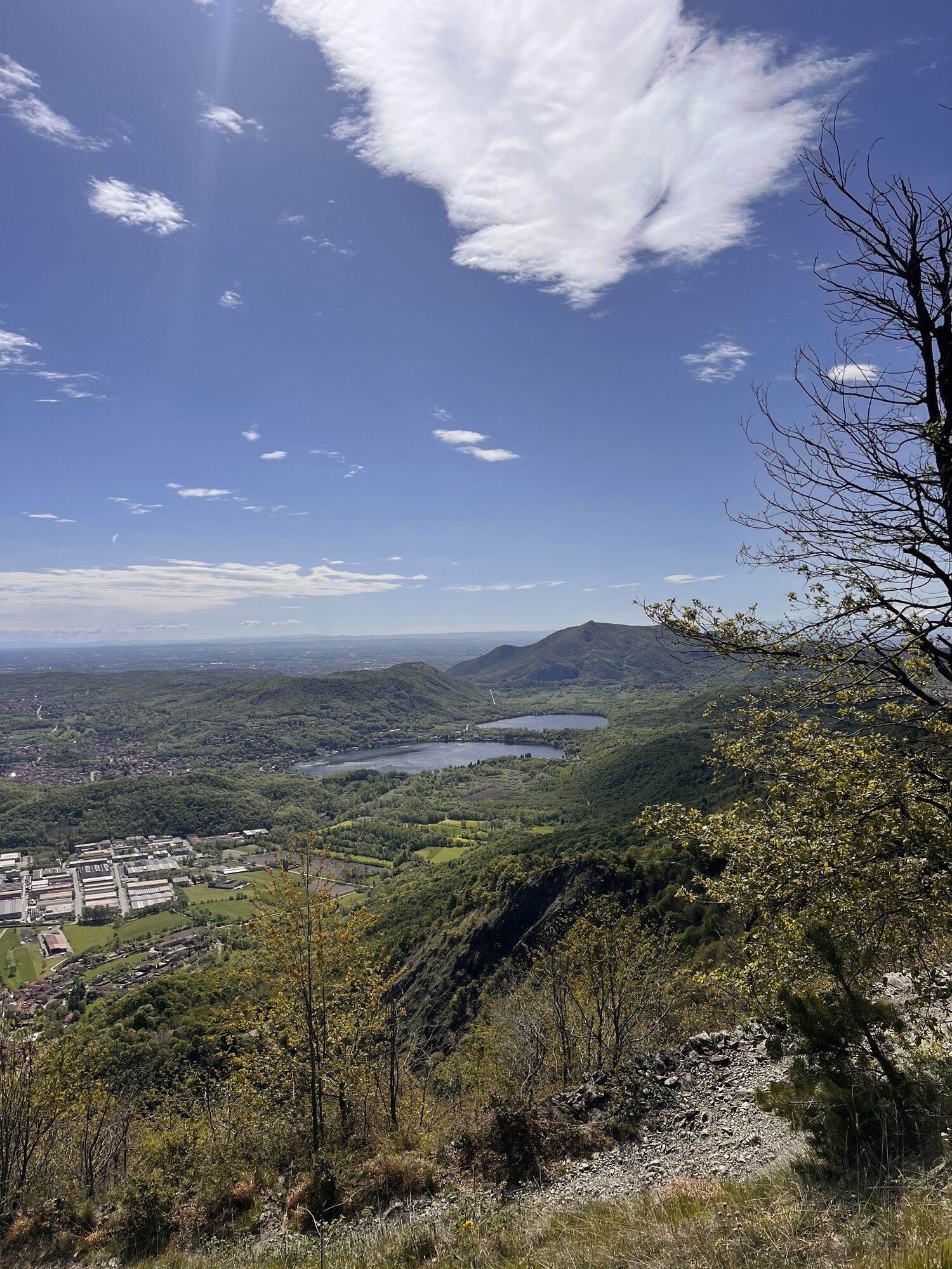
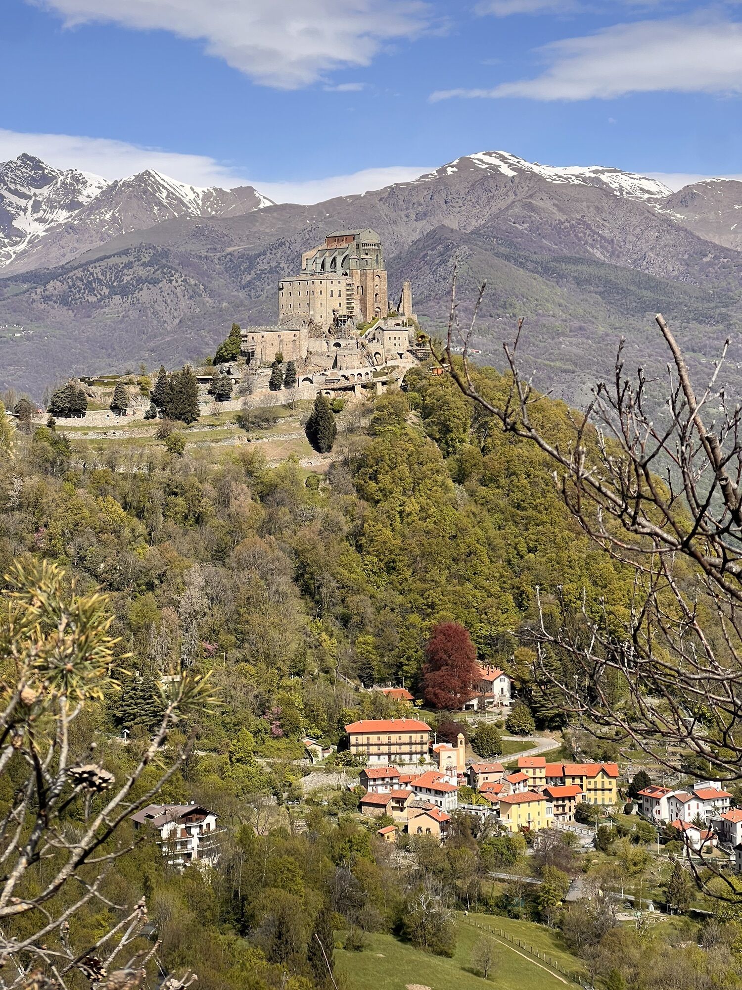
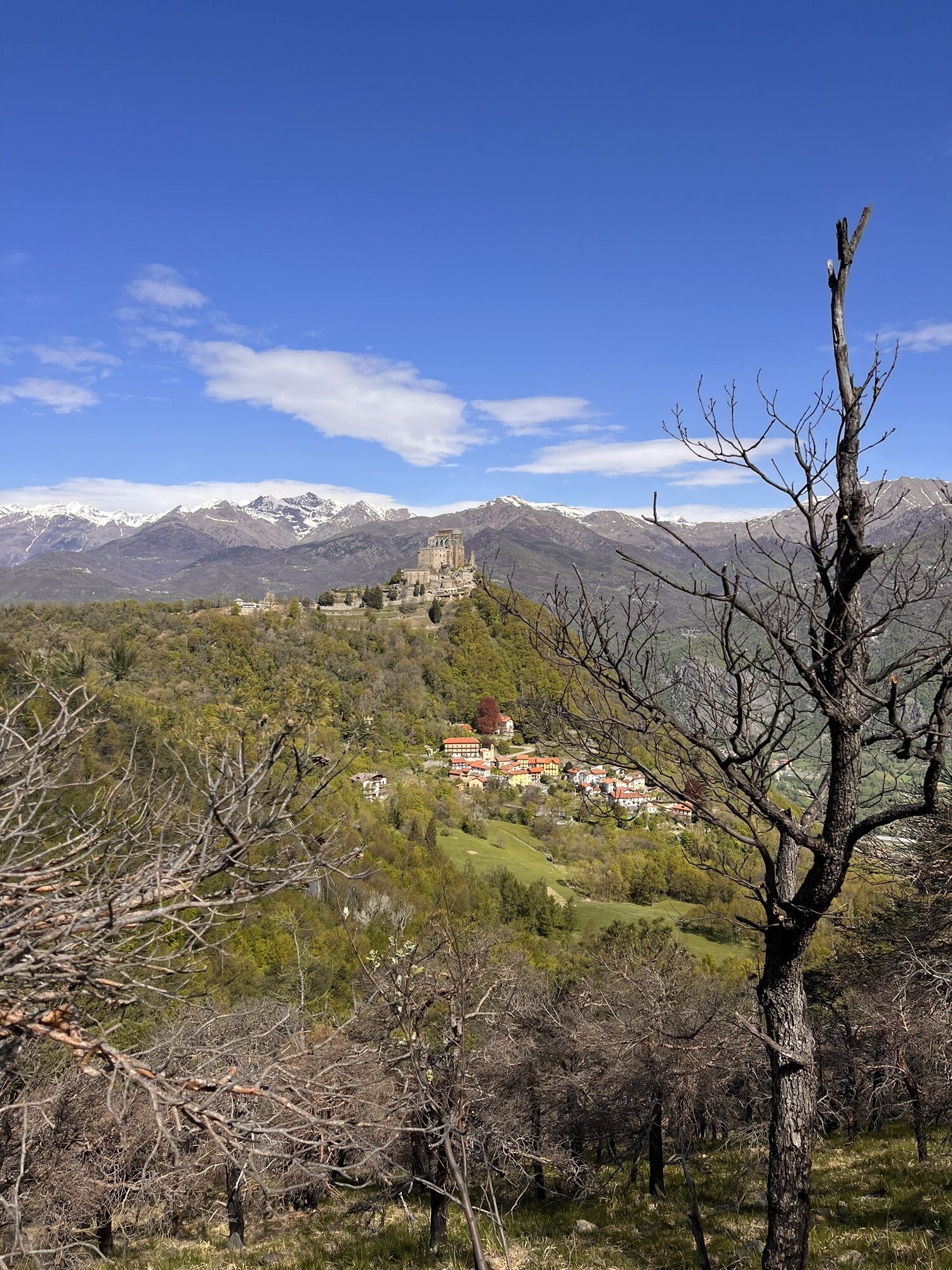
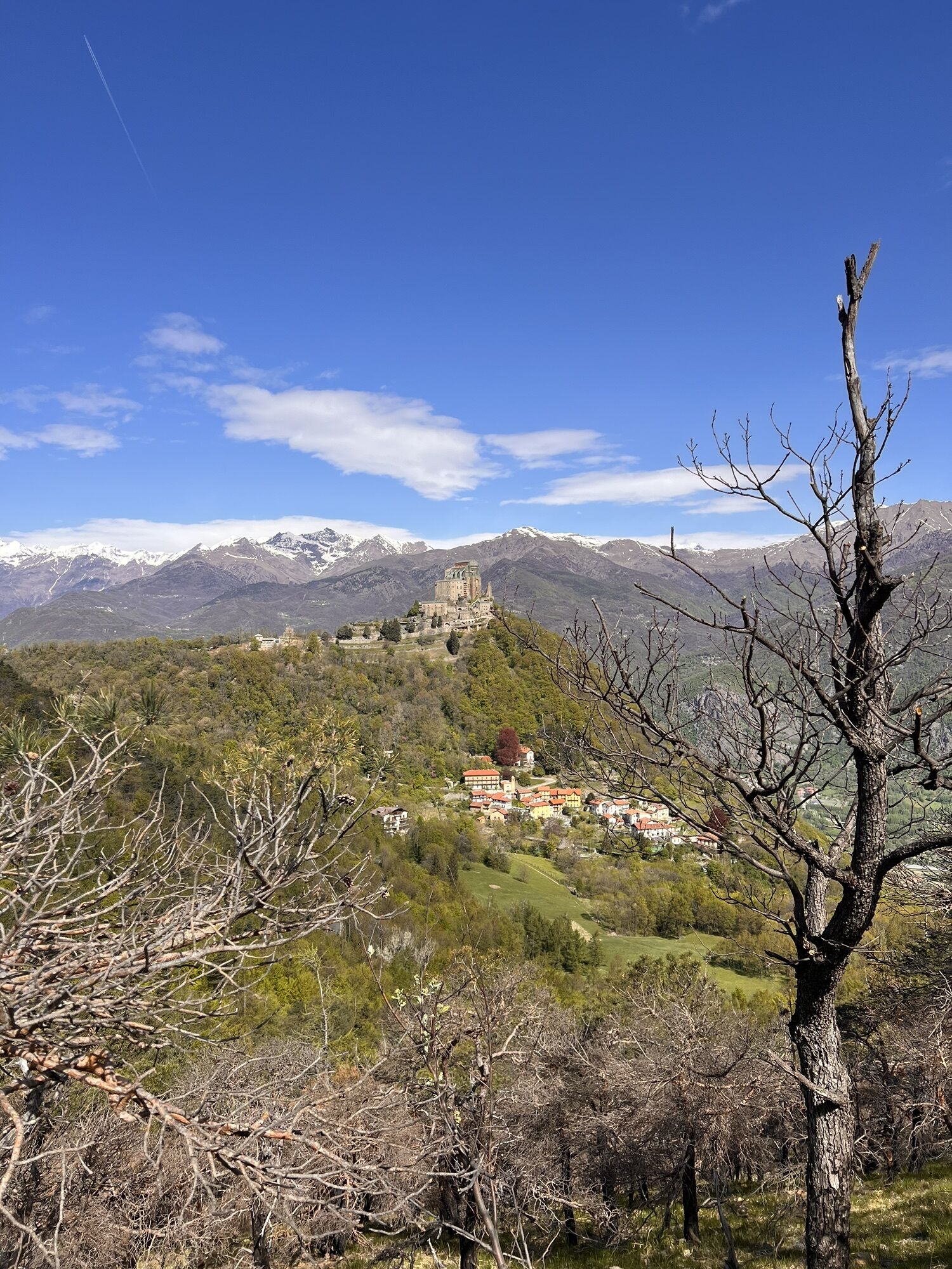
This route connects the Avigliana Lakes Natural Park with the Sacra di San Michele, mainly along dirt roads and tracks. The route is technically simple, but some of the uphill sections towards the Sacra...
Excluding these more challenging sections, the route is suitable for cyclists with average fitness and good riding skills on uphill and downhill sections.
By connecting to the Sentiero dei Franchi trail, it is possible to create an interesting ridge route between the Susa Valley and the Sangone Valley.
The route is also popular with hikers (always give way to pedestrians) and includes some short sections on roads open to traffic.
You can start from Lago Piccolo di Avigliana or from Sacra, which can be reached from Chiusa San Michele or Vaie.
Classification: BC, due to the physical effort required by some steep climbs.



By bike from Avigliana train station or from the Conad shopping area, follow Corso Laghi until reaching the parking at borgata Sada of Avigliana near Lago Piccolo.
By car from the A32 Avigliana center exit, continue along the Lakes ring road, turn onto SP186 towards Trana and reach the borgata Sada parking near Lago Piccolo.
Avigliana train station
Lago Piccolo di Avigliana parking
S3
Large parking available near Lago Piccolo where a branch of the Ciclovia Francigena also starts

Priljubljeni izleti v okolici
-
4.7
On the summit of the magical Musiné
svetlobaPohodništvo 6.94 km -
Avigliana Lakes - Easy route, ideal for families with children
svetlobaPohodništvo 9.25 km -
CASELETTE - The Musiné loop
srednjaPohodništvo 7.52 km -
GIVOLETTO Madonna della Neve on Monte Lera
srednjaPohodništvo 6.11 km -
5.0
Unspoiled woods and ancient hamlets in Valsangone - Selvaggio Loop - Bagaggera
svetlobaPohodništvo 9.08 km -
COLLE DEL LYS Monte Arpone loop
svetlobaPohodništvo 4.50 km -
Easy route - Monte Cuneo (Moncuni) Loop route from Reano
svetlobaPohodništvo 7.97 km -
4.0
The Giro dell'Orsiera G.O. Trail Stage 1: Molè - Rifugio Balma
srednjaPohodništvo 4.52 km -
COLLE DEL LYS Alpine Loop
srednjaPohodništvo 15.3 km -
CUMIANA by MTB on the Amphitheater Path
srednjaMountainbike 32.4 km
Pohodništvo in sledenje


Ne zamudite ponudb in navdiha za naslednje počitnice
Vaš e-poštni naslov je bil dodan na poštni seznam.





