


Canoe route from Lahti to the Kymi River and Kimola Canal
Stopnja težavnosti: 3
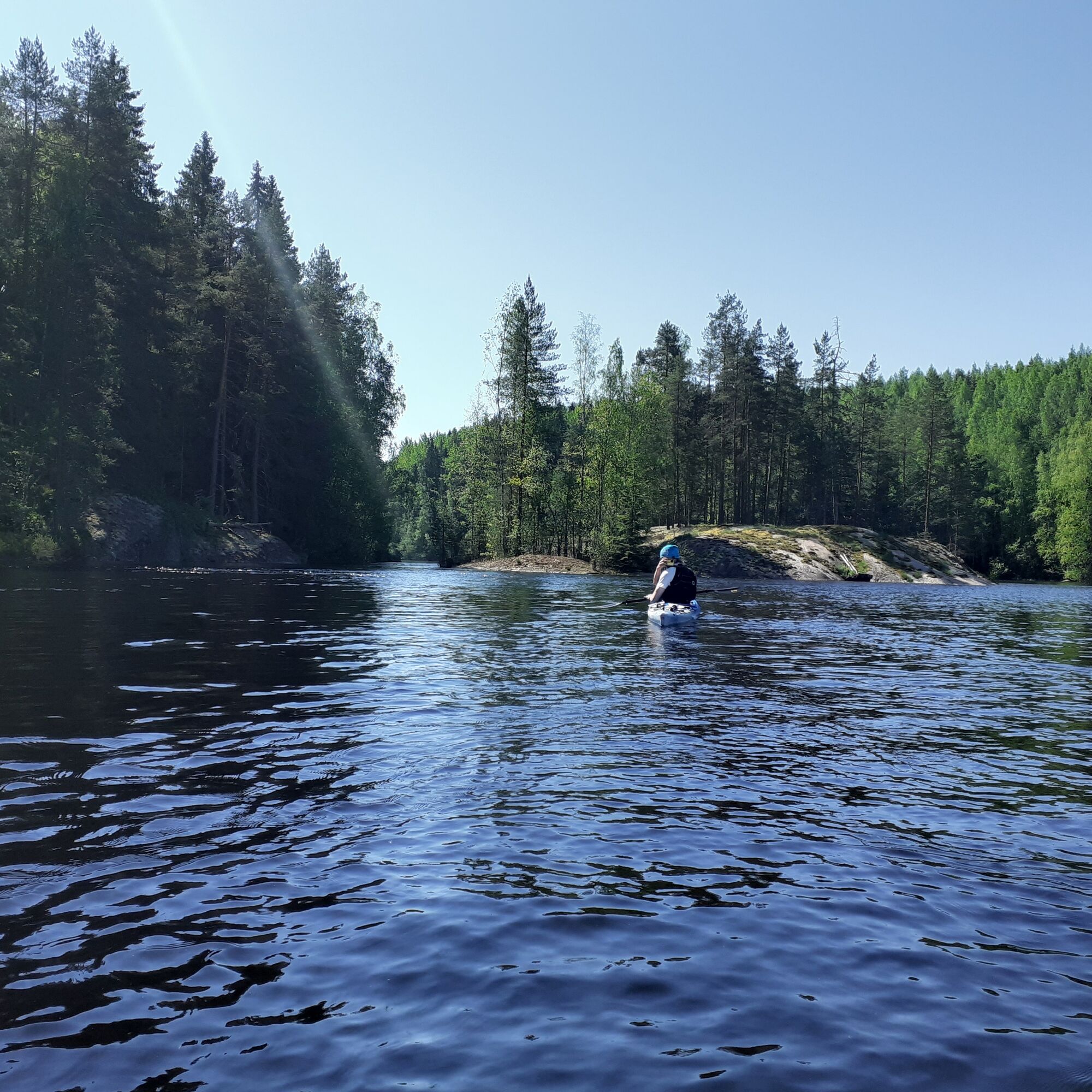
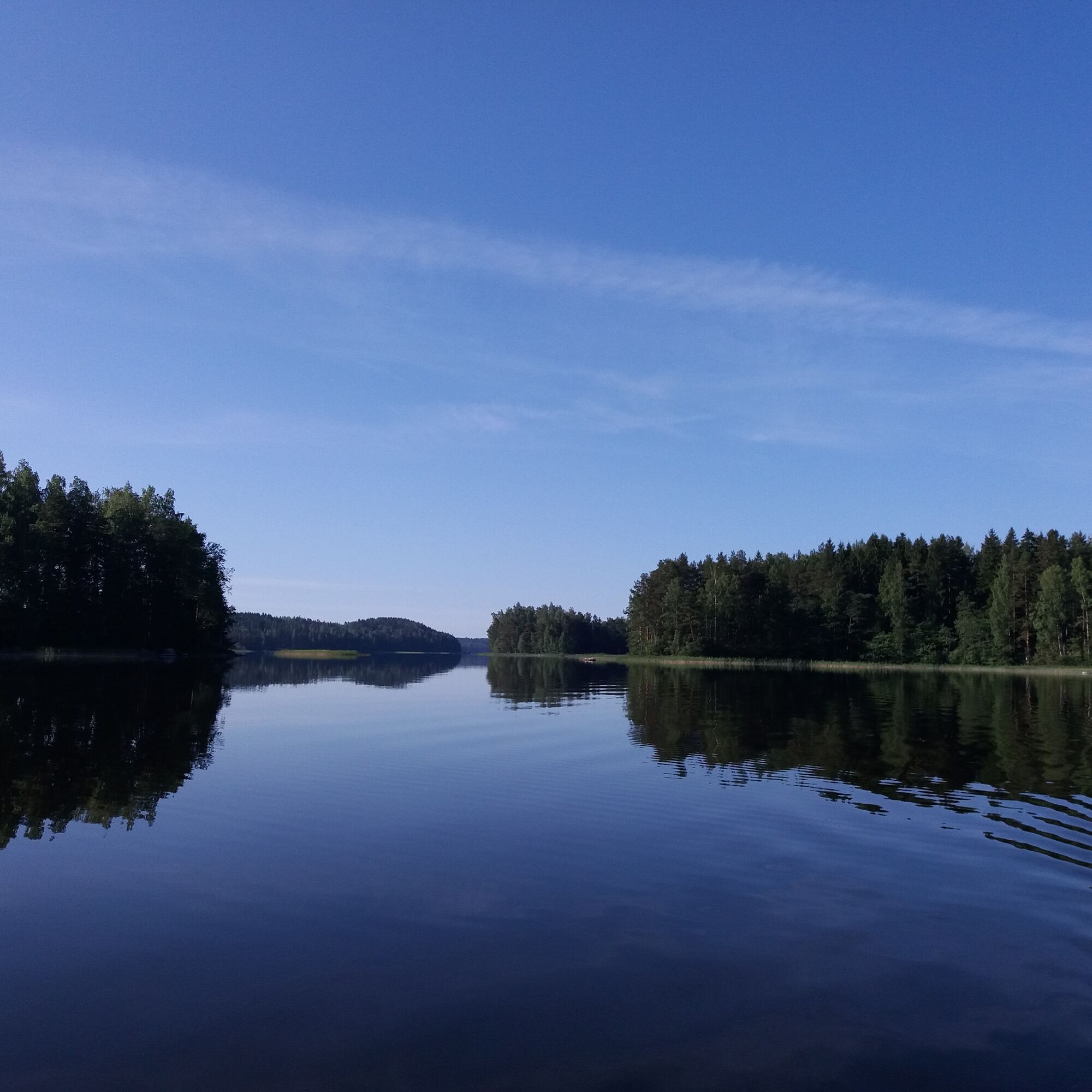
A canoe route over 150 km long, connecting the water routes of Lahti, Iitti, and Kouvola. The route goes through small eastern lakes of Lahti and their connecting rivers to the Kymi River and the large...
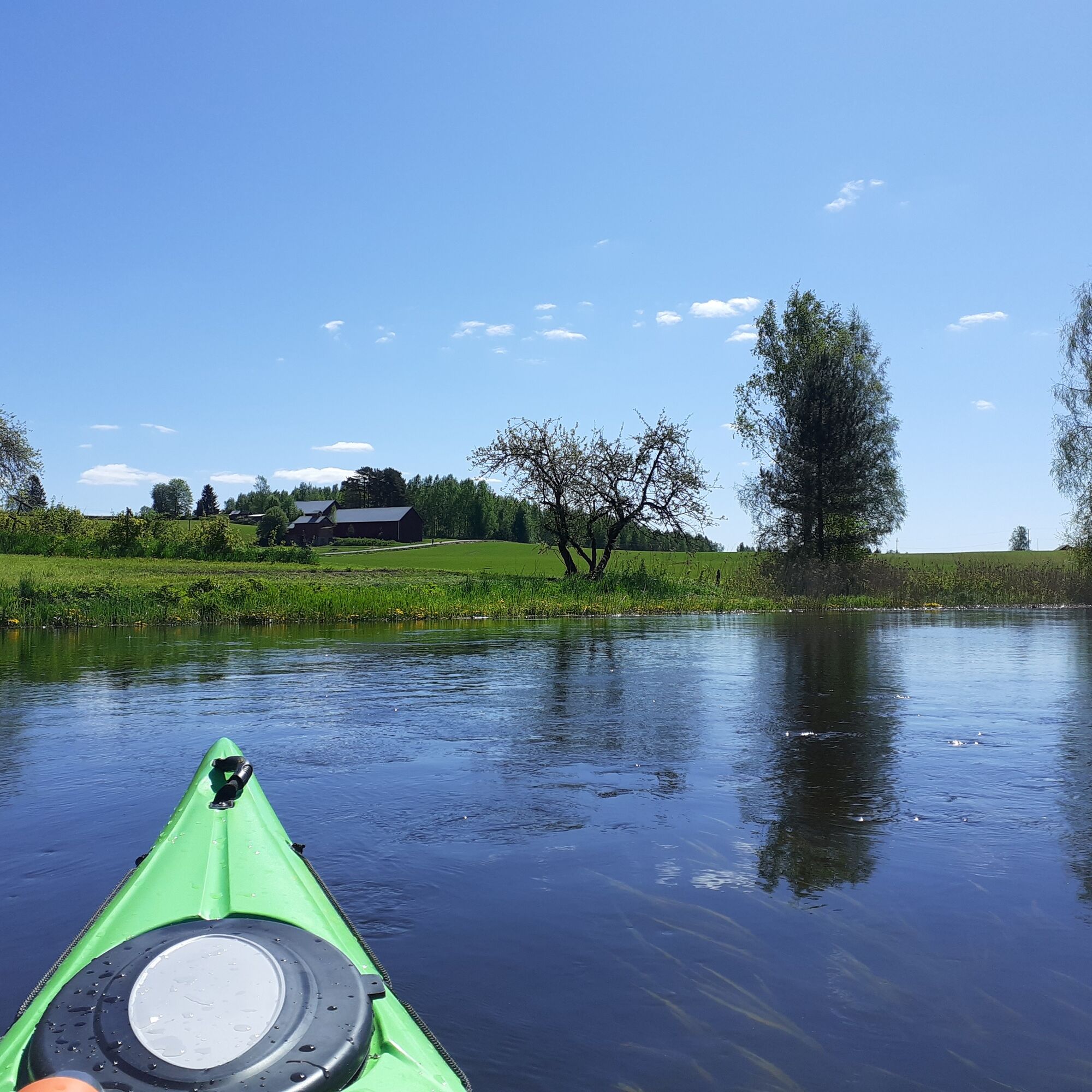
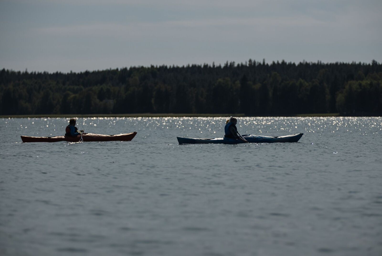
A canoe route over 150 km long, connecting the water routes of Lahti, Iitti, and Kouvola. The route goes through small eastern lakes of Lahti and their connecting rivers to the Kymi River and the large lakes of Iitti. From the main route, you can also paddle to Selkojärvi, via Kettujärvi to Ylimmäinen, Urajärvi, or from Hiidensaari to Kouvola Virtakivi. The Kimola Canal with its lock and tunnels is a memorable experience. The route can be paddled in parts; part of it forms a circular route. It’s good to reserve at least 4 days for the entire route; there are several overnight places along the route. The route’s versatile services are easily accessible.


Stage 1: Karisto beach, Lahti - Pajulahti Sports Institute, Nastola Stage 1
Stage 2: Pajulahti Sports Institute, Nastola - Yli-Kaitala Resort, Mankala Stage 2
Stage 3: Yli-Kaitala Resort, Mankala - Pohjanmäki boat dock, Iitti Stage 3
Stage 4: Pohjanmäki boat dock, Iitti - Vuolenkoski Stage 4
Stage 5: Vuolenkoski - Pajulahti Sports Institute - Karisto beach Stage 5
Da
Safe canoeing equipment (life jacket, pump, throw rope, paddle float). Lights in front and back when moving at dusk (e.g., headlamp with rear light). Water bottle. Remember to pack spare clothes waterproofed to take with you.
The route is easy, but there are a few safety considerations to note. (see detailed instructions from the stage descriptions)
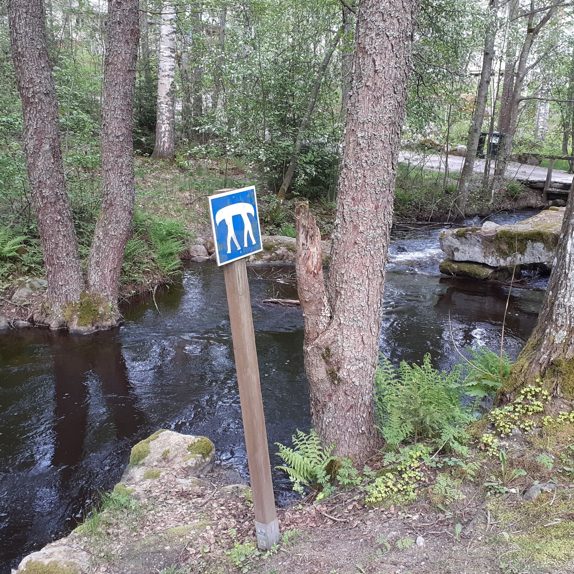
The underpass tunnels on the small rivers in the Nastola area are shallow at high water, so prepare for portaging. (If necessary, carry your kayak over the underpass. Note! these points do not have maintained lifting spots, as you can usually paddle through).
Strict instructions must be followed at Mankala power plant. When coming from the Kymi River to the Mankala power plant, the landing site is on the right side of the route. There is a pier to facilitate landing. Maintain at least 200 m distance from the power plant, as there are strong currents and occasionally water is released by opening the dam gates.
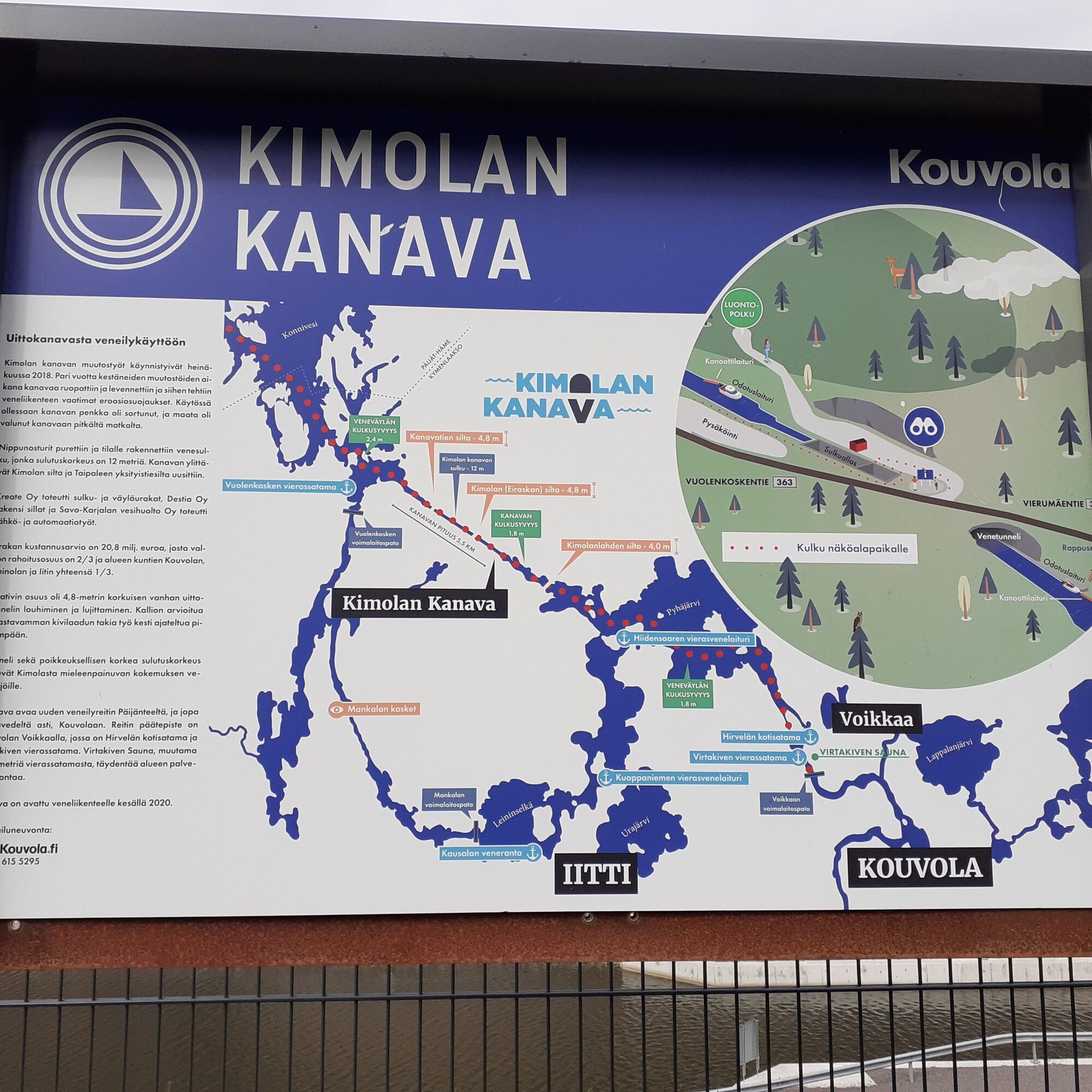
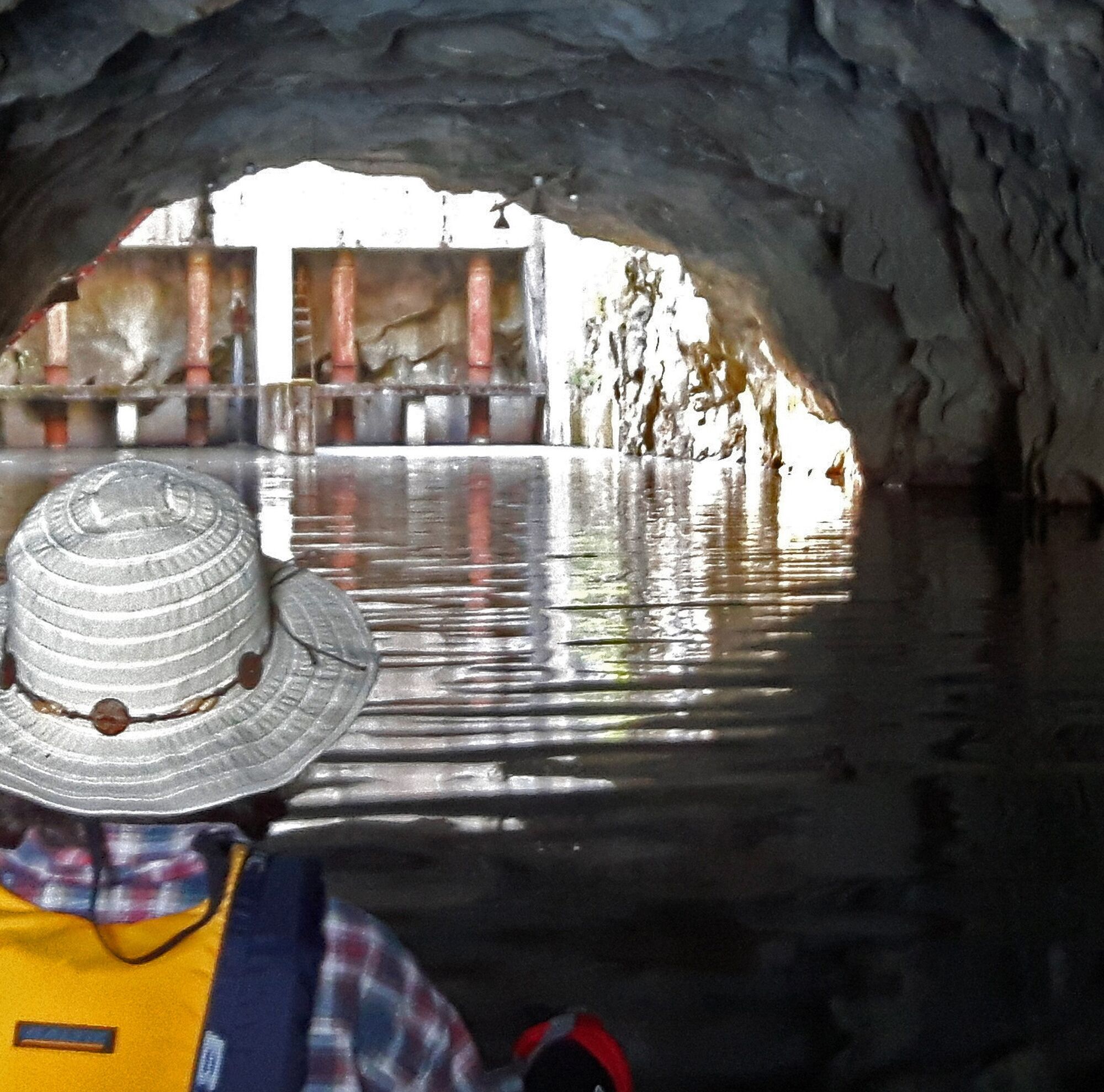
There is busy boat traffic on the Kimola Canal during summer. Cruise ships regularly cross the canal in summer, so wake from their sterns must be taken into account. Safety instructions must be followed carefully at the canal lock. The canal operates from May to October (in October only Wed-Sun). Safety instructions and opening times in more detail here Kimola Canal instructions
Boating routes on the lakes of Iitti pass through narrow straits near the canoe route. Pay attention to boat traffic and ensure you have front and rear lights on your kayak/canoe when moving at dusk.
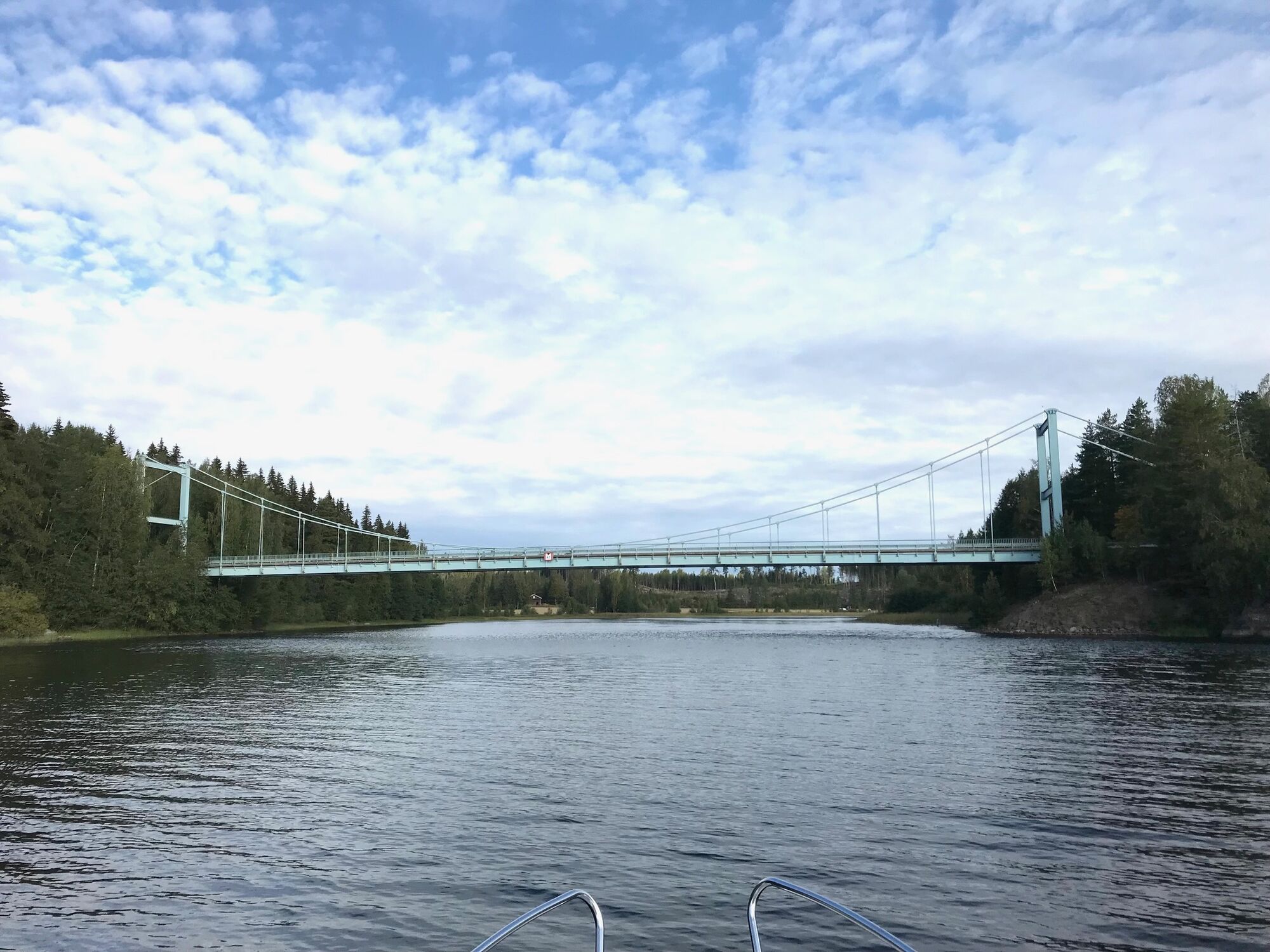
The side route from Hiidensaari to Kouvola Virtakivi is especially demanding when paddling back from Virtakivi at high water. Currents on the Kymi River section can be strong.
The best way to reach the stage starting points of the route is by your own car or by asking for transport from the route's partner companies.
You can reach the starting point at Karisto beach by local bus number 7. Check schedules Local transport Lahti
Good parking areas at the stage starting points.
3
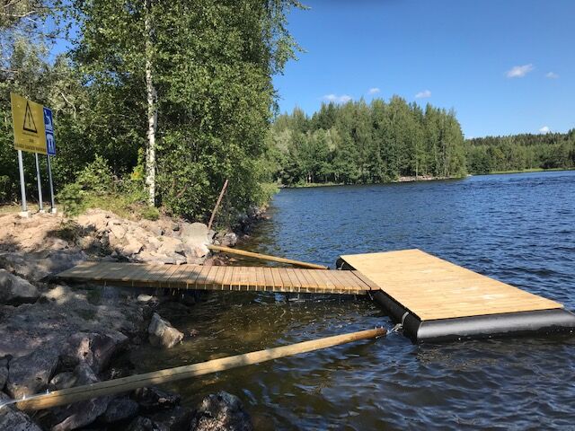
NOTE! Piers, signs, and kayak carts will be installed along the route during summer 2021.
During peak season in July and August, it’s recommended to book accommodations well in advance. At the start and end of the season, check the opening hours of summer cafes and restaurants.
Small rivers in the Nastola area
Immilä mill area
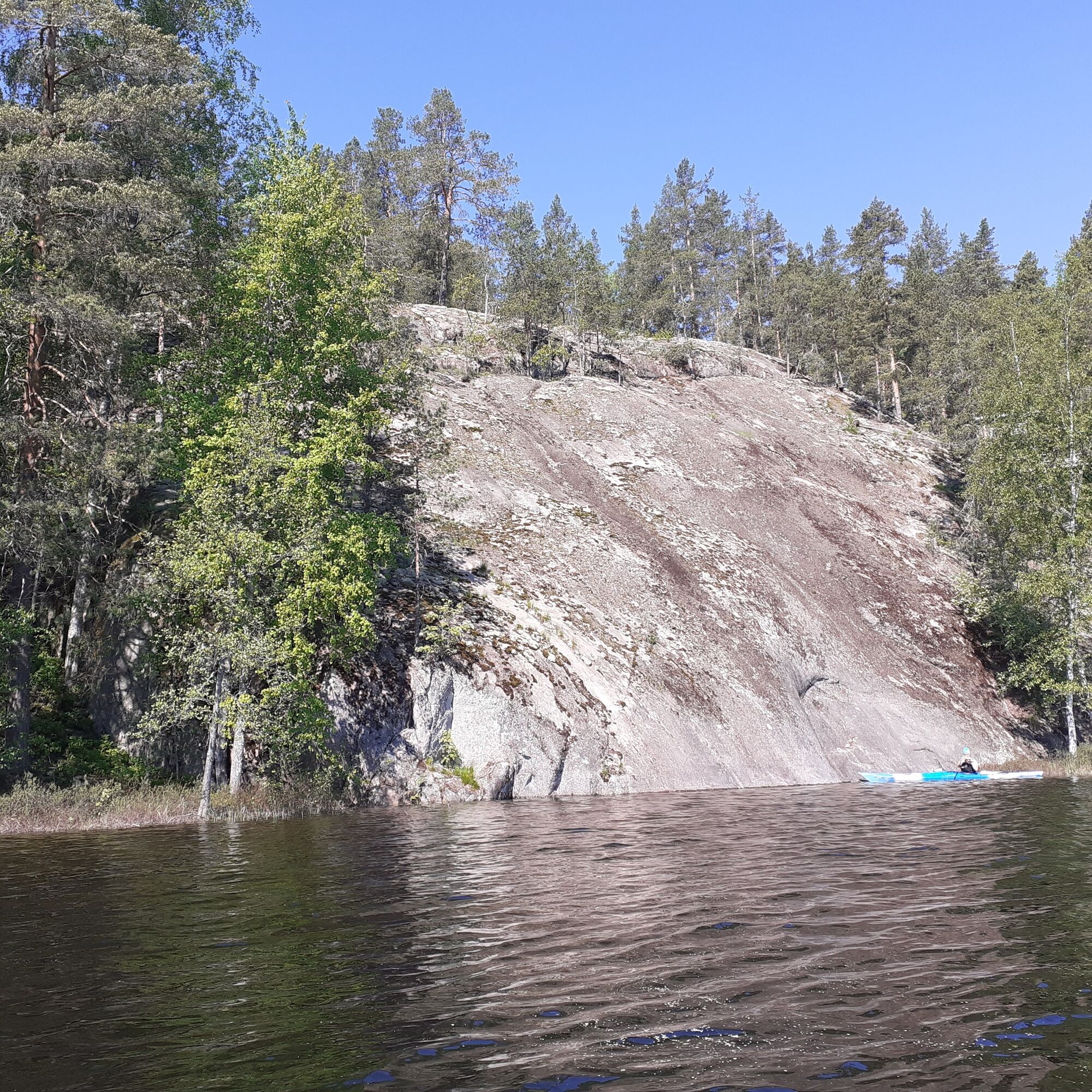
Kymi River cliff walls
Area around Iitti church
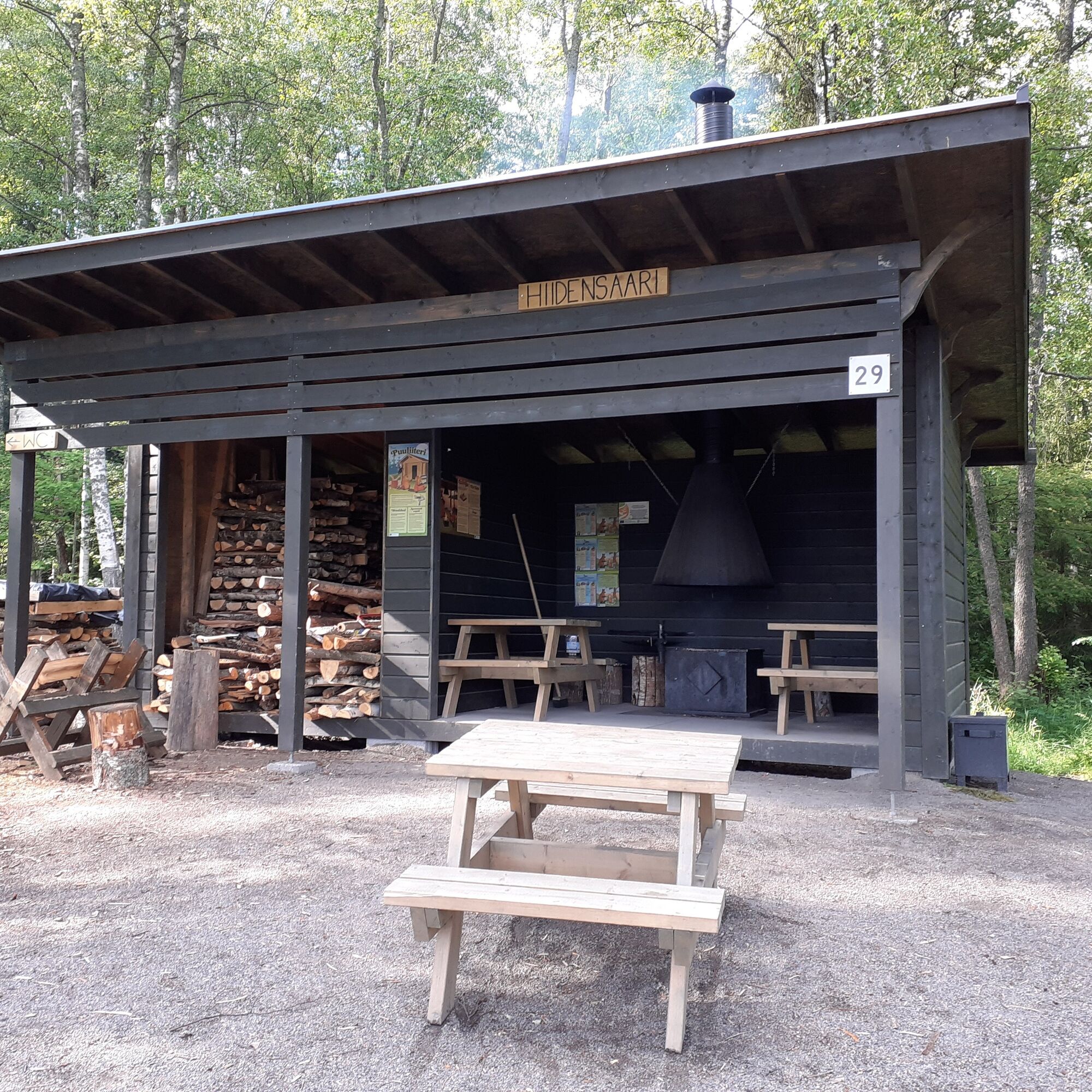
Hiidensaari Island in Iitti
Kimola Canal
Vuolenkoski village environment.
Priljubljeni izleti v okolici
-
Veskansa Route, Iitti
težkoKolesarjenje 64.9 km -
Three rock painting route, Vuolenkoski
srednjaKajak / Kanu 20.5 km -
Arrajärvi-Selkojärvi kayaking route
svetlobaKajak / Kanu 8.35 km -
Iitti–Vuolenkoski: Kayaking route around Iitti's Hiidensaari through Kimola Canal to Vuolenkoski
srednjaKajak / Kanu 69.0 km -
Ravilinna ten-kilometer loop, Iitti
svetlobaPohodništvo 10.4 km -
Vuolenkoski–Lahti: Paddling route from Lahti to Kymijoki and Kimolankanava
srednjaKajak / Kanu 35.9 km -
Radansuu nature trail, Iitti
srednjaTematska pot 7.90 km -
Urajärvi paddling, Iitti
svetlobaKajak / Kanu 11.2 km -
Vuolenkoski – Säyhtee – Mankala cycling route, Iitti
težkoKolesarjenje 64.2 km -
Rieska route, Iitti
svetlobaKolesarjenje 21.8 km
Pohodništvo in sledenje


Ne zamudite ponudb in navdiha za naslednje počitnice
Vaš e-poštni naslov je bil dodan na poštni seznam.