







Ski route from Grabs to the Gamserrugg

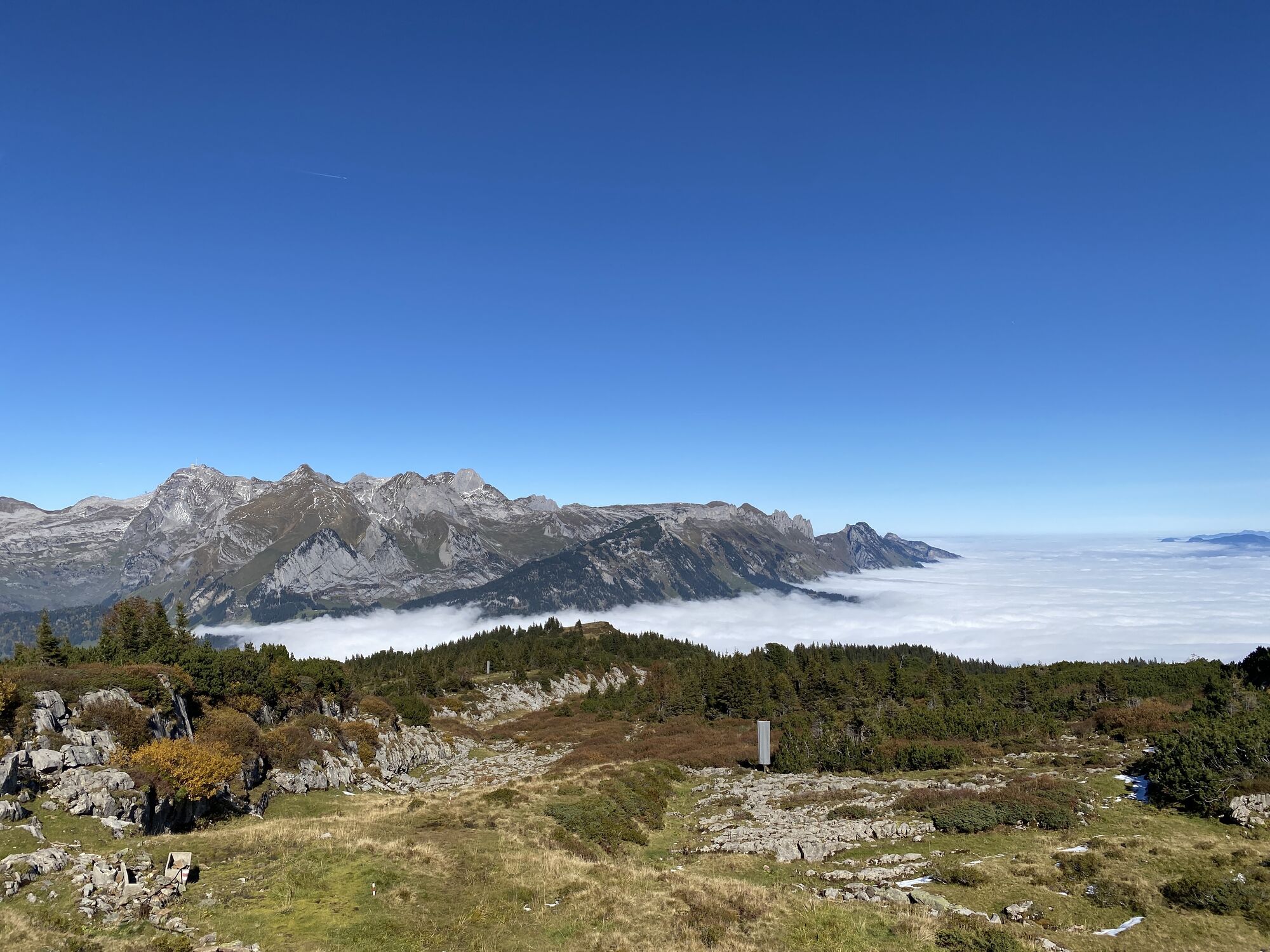
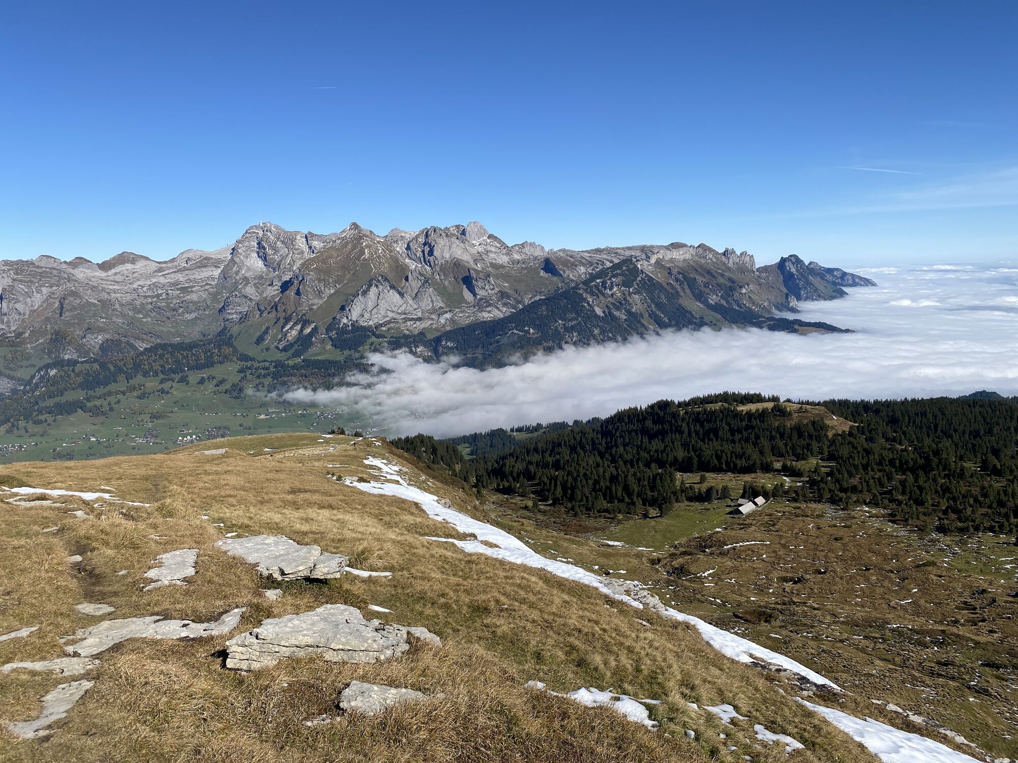

From Grabs, you first go up via Eggenberg and Summerweid to Galferboden. Then it continues via Gamperfin and the last ridge up to the Gamserrugg. The panorama visible from there is very promising and definitely worth it.

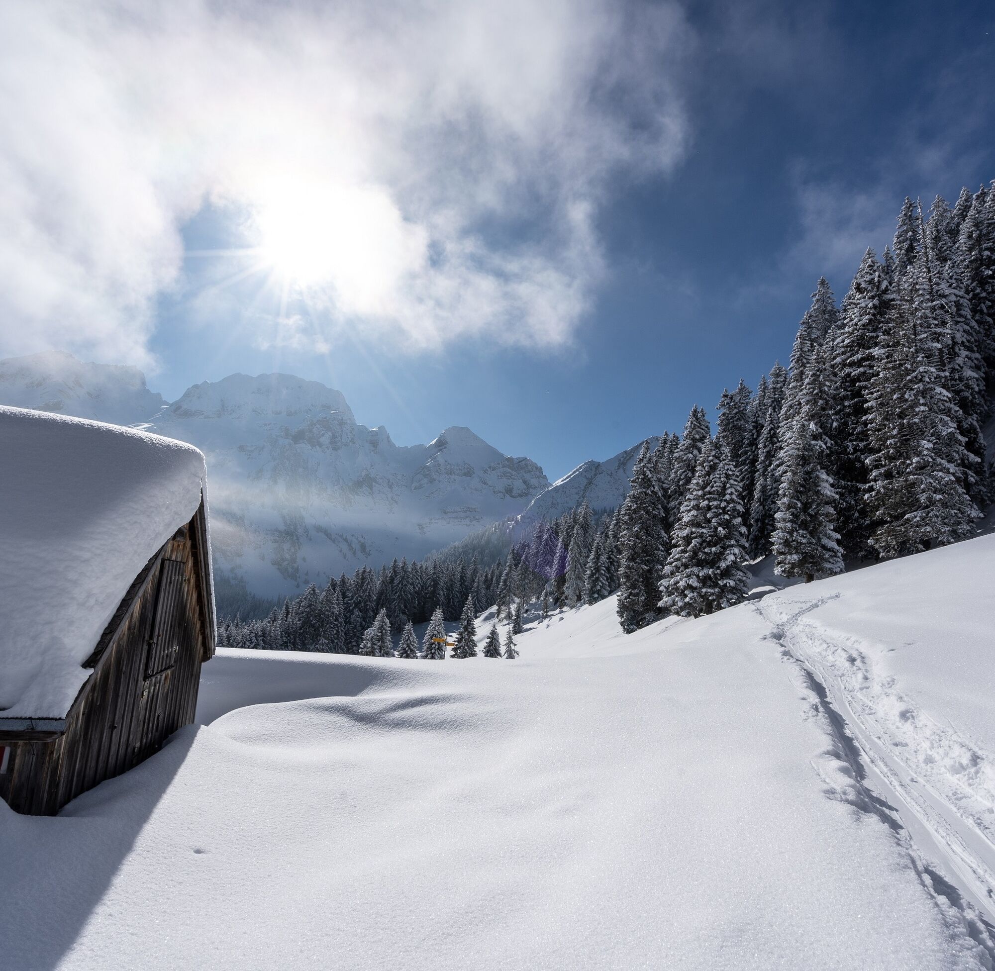
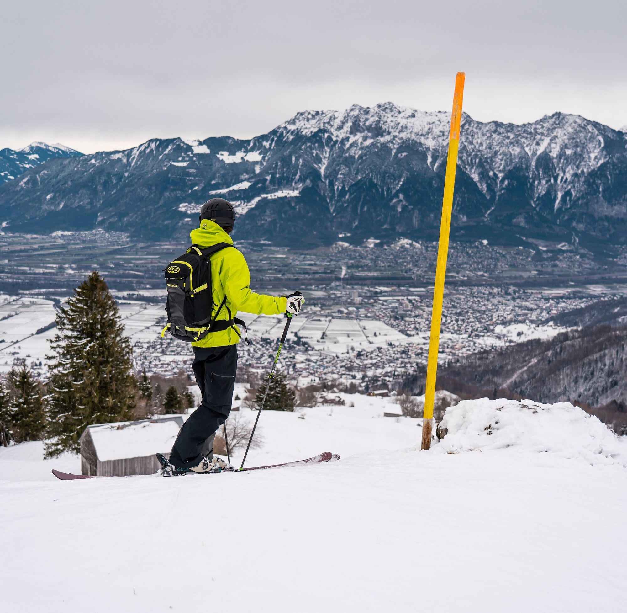
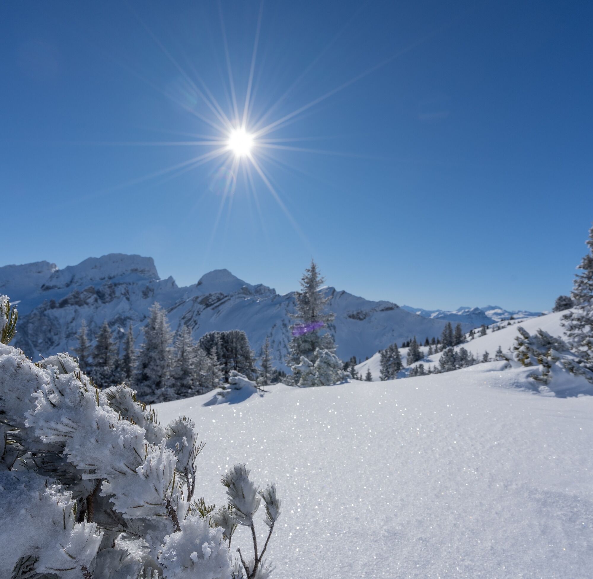
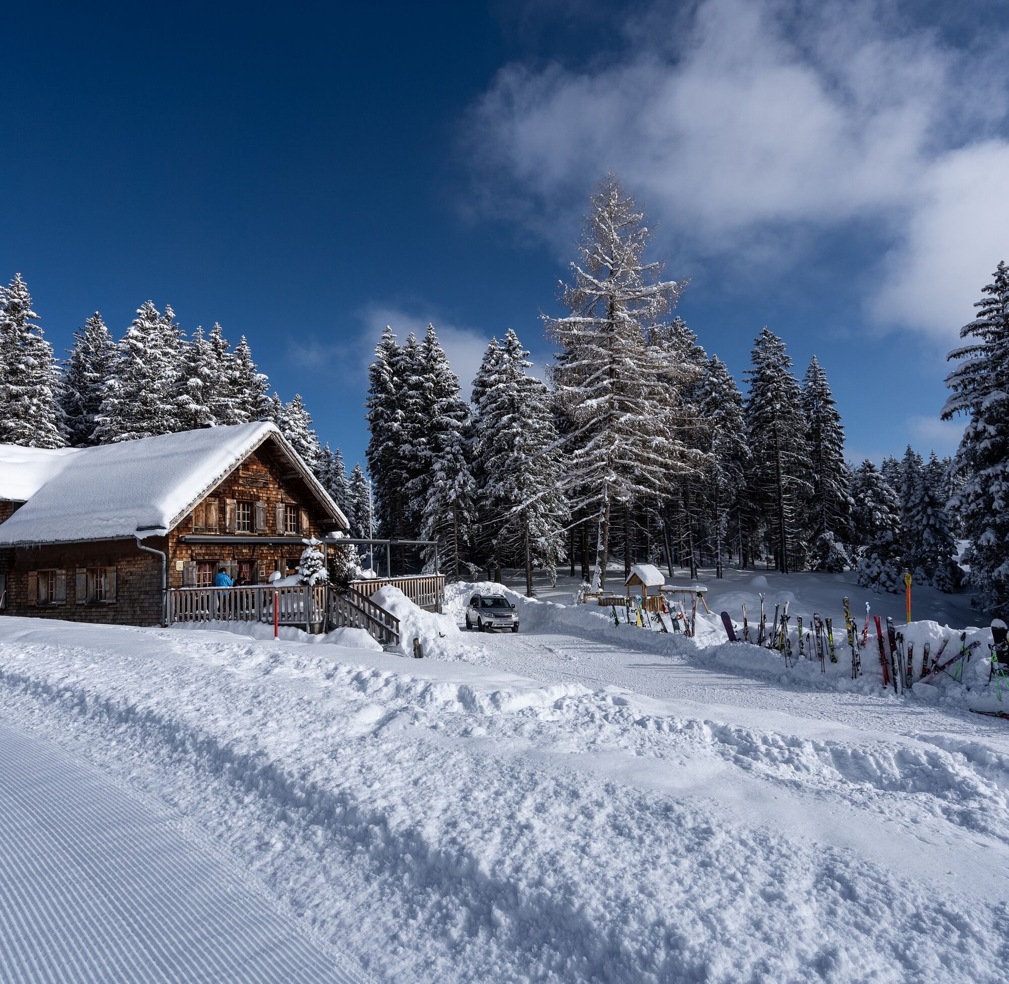


From the Grabs Post bus stop via Vorderdorfstrasse to Grabs Glocke. From there the skins can be attached and you can climb along the yellow-marked descent route Galfer.
Da
Tour skis, skins, possibly crampons, ski poles, ski helmet, avalanche equipment with transceiver device, avalanche probe and shovel, ski touring backpack (approx. 30 liters) with avalanche airbag and rain cover, ski touring boots, ski socks, warm and durable clothing in layers, ski touring jacket and pants, light gloves for the ascent, warm gloves for the descent, hat / headband, possibly ski goggles, sun and rain protection, provisions and drinking water, thermos flask with hot drink, first aid kit, pocket knife, mobile phone, headlamp and reflectors, map material
Caution on the northeast slope, the Gamserrugg plateau is often topped by a mighty cornice. In addition, there are karst holes in the area, which can be treacherous especially with thin snow cover.
By train to Nesslau Neu St. Johann station and further by bus to Grabs Post.
From the Rhine valley by train to Buchs SG station and then by bus to Grabs Post.
There are no parking facilities available. We recommend travel by public transport.
Opening hours of Skihaus Gamperfin can be found here.
For questions, please contact:
Toggenburg Tourism
Hauptstrasse 104
9658 Wildhaus
+41 71 999 99 11
The Skihaus Gamperfin is halfway and invites you to refresh yourself. (Observe opening hours)
Spletne kamere s turneje

Priljubljeni izleti v okolici
- 4,7
Riviera Lake Walen Walenstadt-Quinten
srednjaPohodništvo 10,4 km - 4,6
Weesen - Quinten - Walenstadt
težkoPohodništvo 20,6 km - 4,5
To the summit cross of the Alpspitz
srednjaPohodništvo 6,02 km - 5,0
Staubern-Runde (15.8.2021)
srednjaPohodništvo 8,65 km - 4,9
Säntis-Gipfeltour, Wasserauen / Appenzell Innerrhoden
težkoPohodništvo 21,1 km - 4,8
Tour Brülisau - Saxerlücke - Hoherkasten⛰
težkoPohodništvo 16,6 km - 4,6
Wasserauen - Seealpsee - Wasserauen
srednjaPohodništvo 7,71 km - 4,6
Säntis
srednjaGorski pohodništvo 17,5 km - 4,9
Alpine and Cultural Trail Schrina
srednjaTematska pot 11,5 km - 4,7
Alvier
srednjaPohodništvo 3,33 km
Pohodništvo in sledenje


Ne zamudite ponudb in navdiha za naslednje počitnice
Vaš e-poštni naslov je bil dodan na poštni seznam.





