





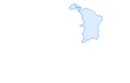

Alvier

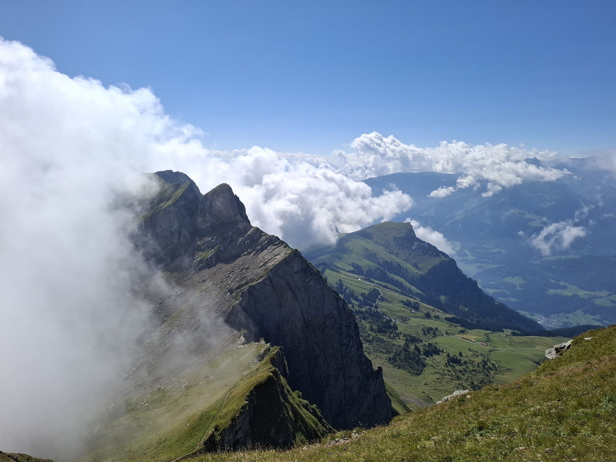
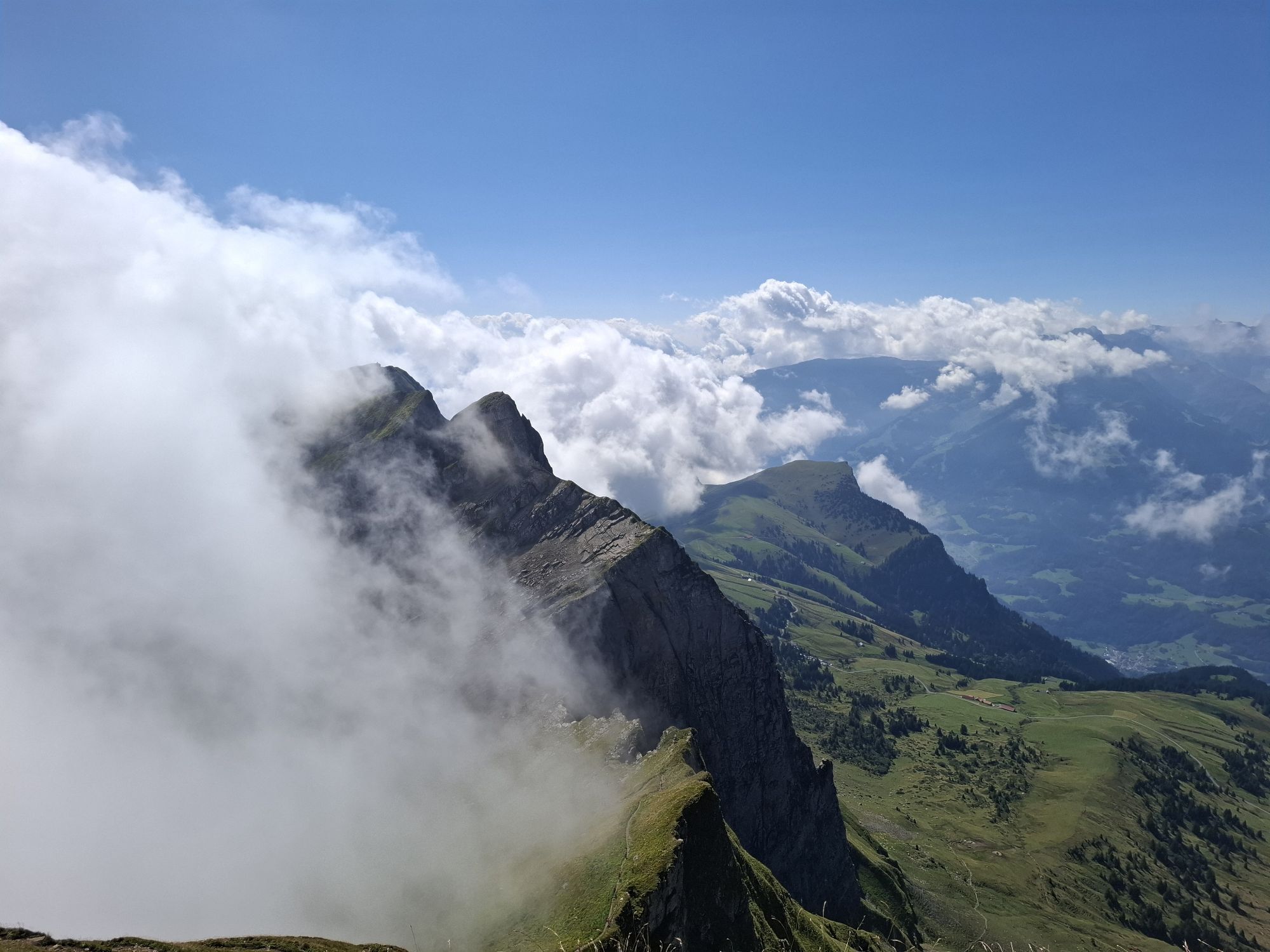
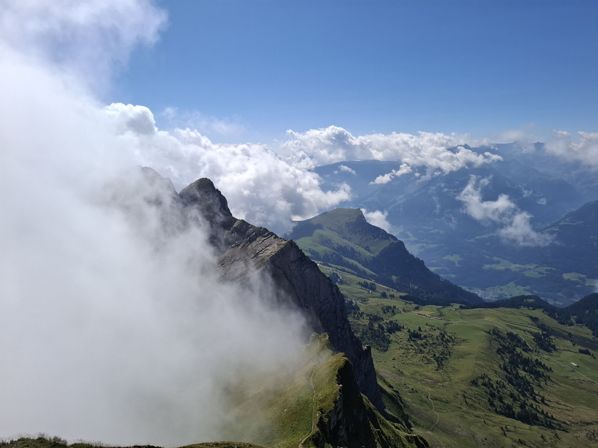
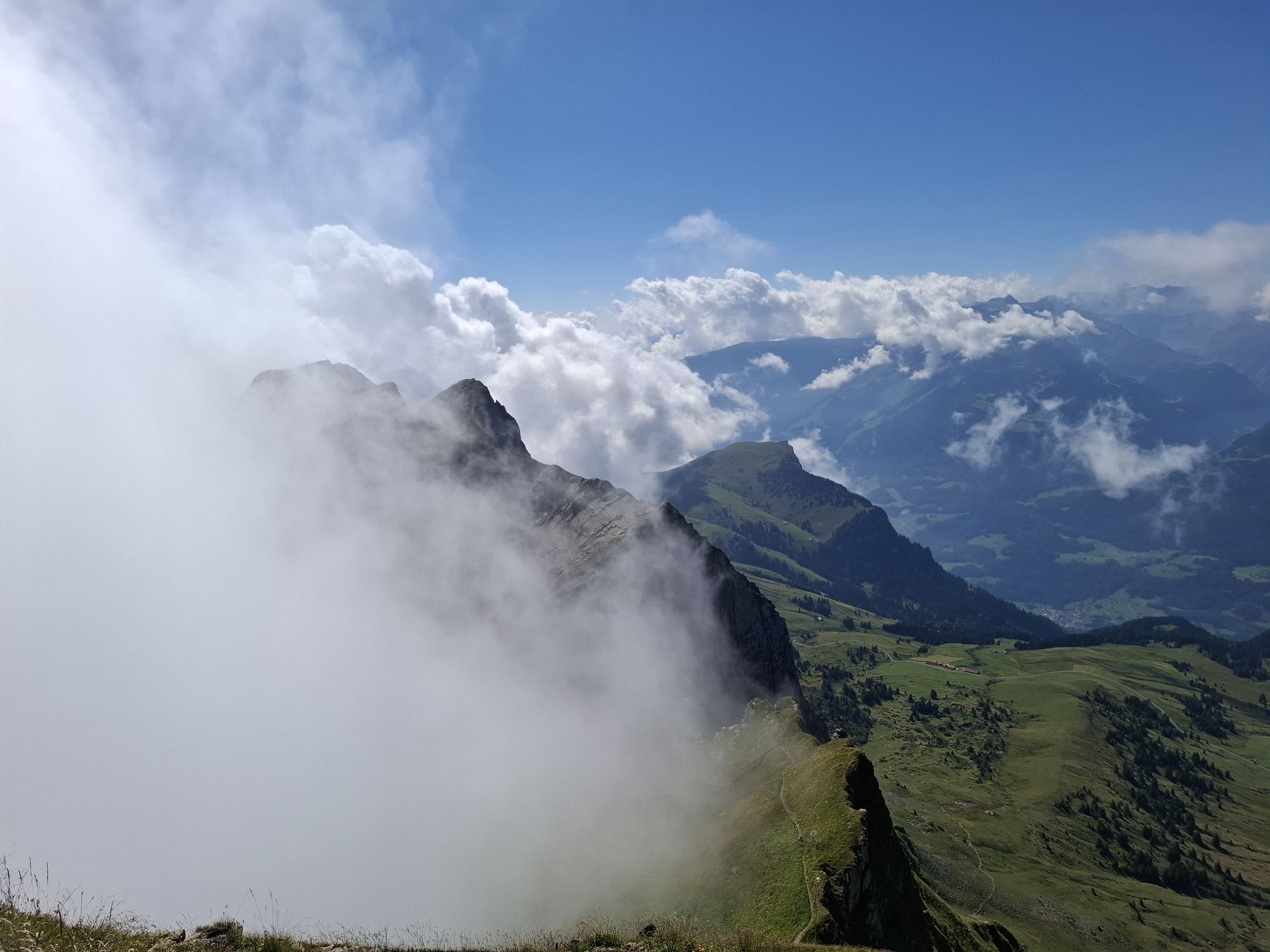
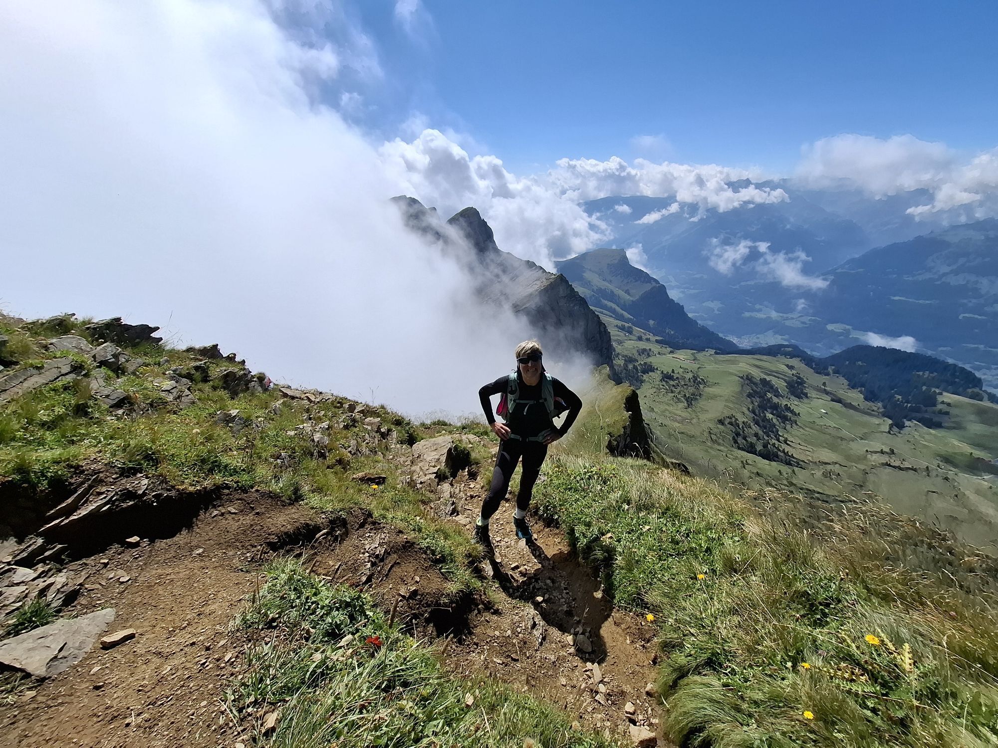

This steep, sweat-inducing mountain route requires surefootedness and moderate freedom from dizziness.
We start the hike at the Palfries mountain station. With the Palfries cable car, we previously overcame...
This steep, sweat-inducing mountain route requires surefootedness and moderate freedom from dizziness.
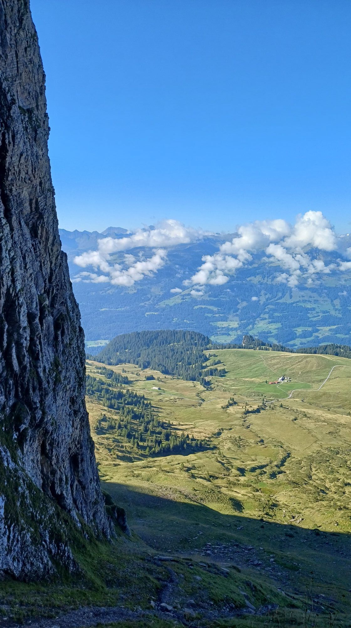
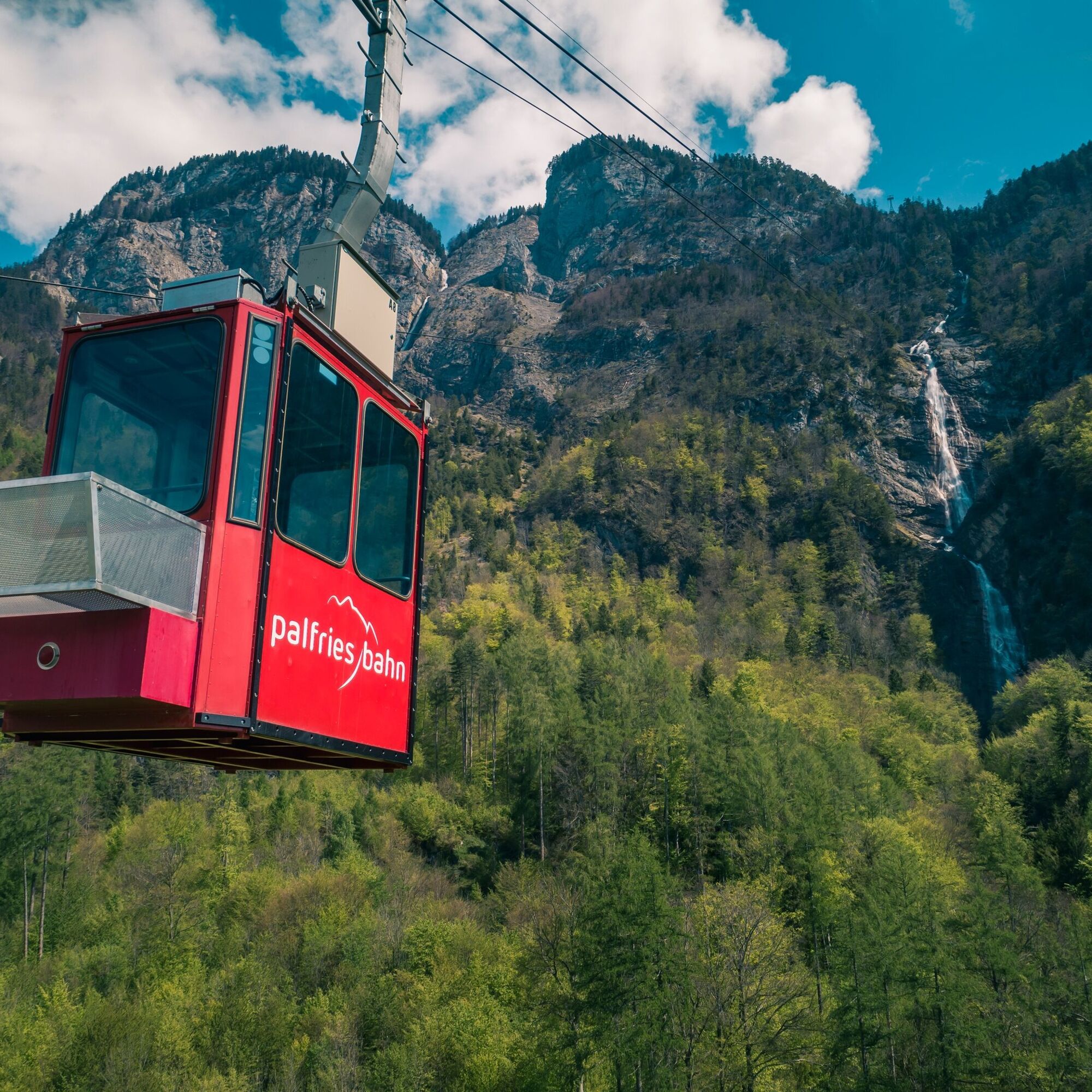
We start the hike at the Palfries mountain station. With the Palfries cable car, we previously overcame about 1,250 meters in only 12 minutes. The cable car passes an impressive waterfall (Ragnatscher Bach) and brings us up to the Palfries plateau.
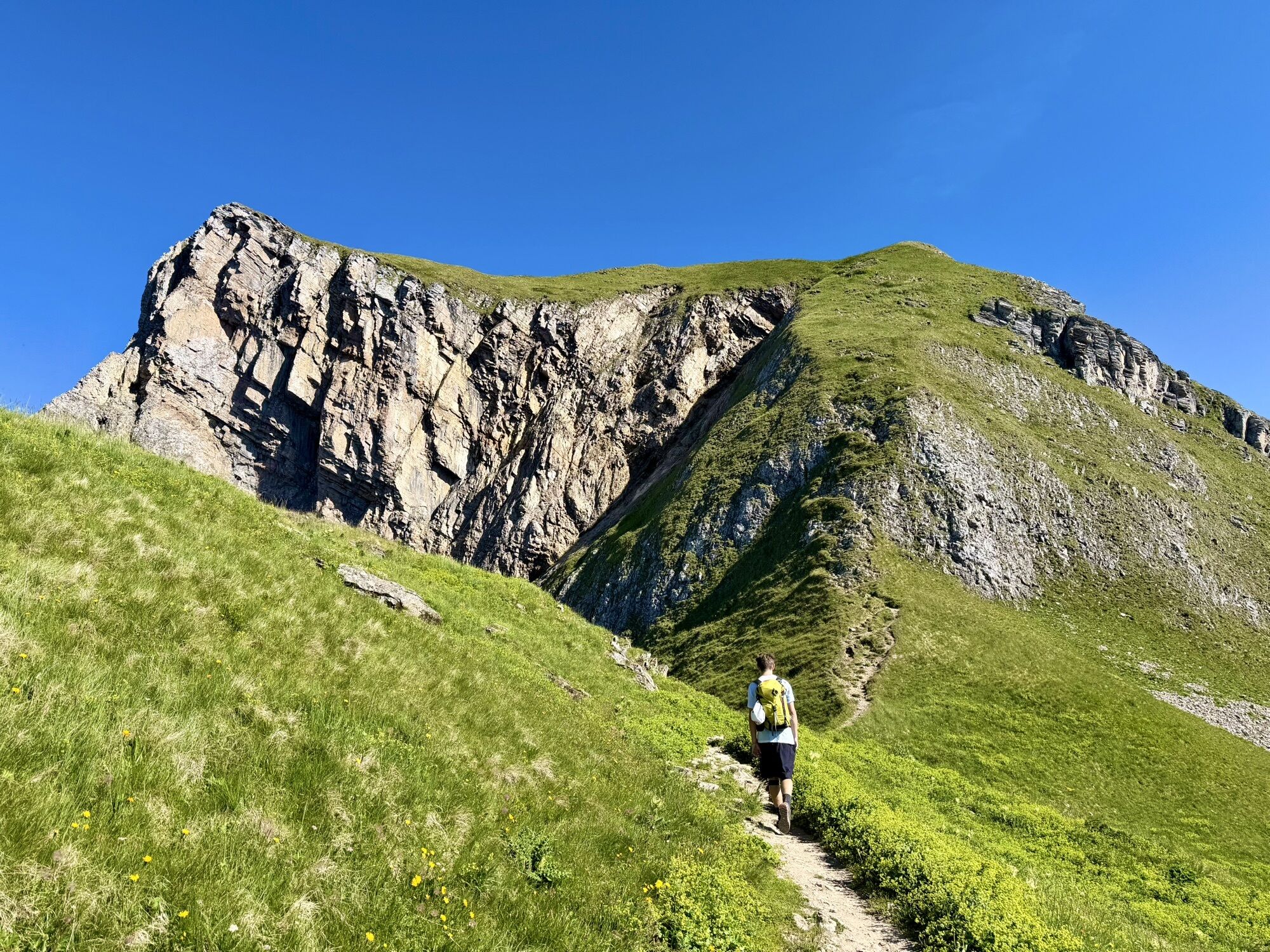
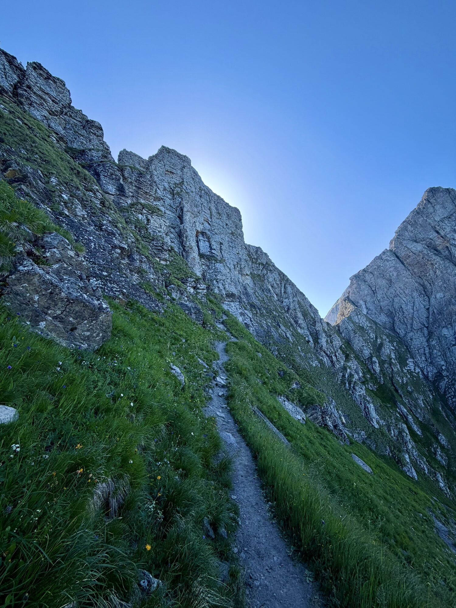
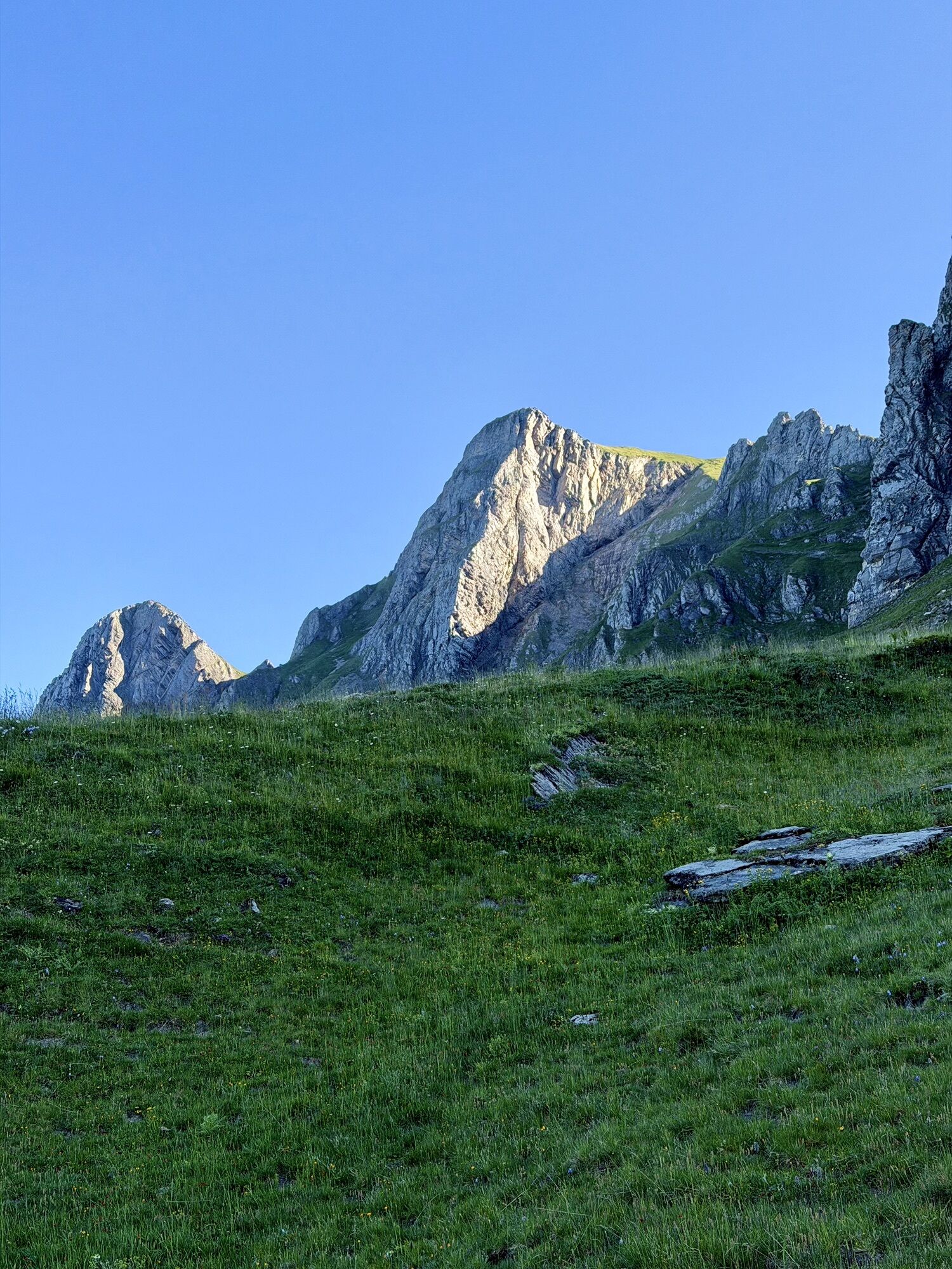
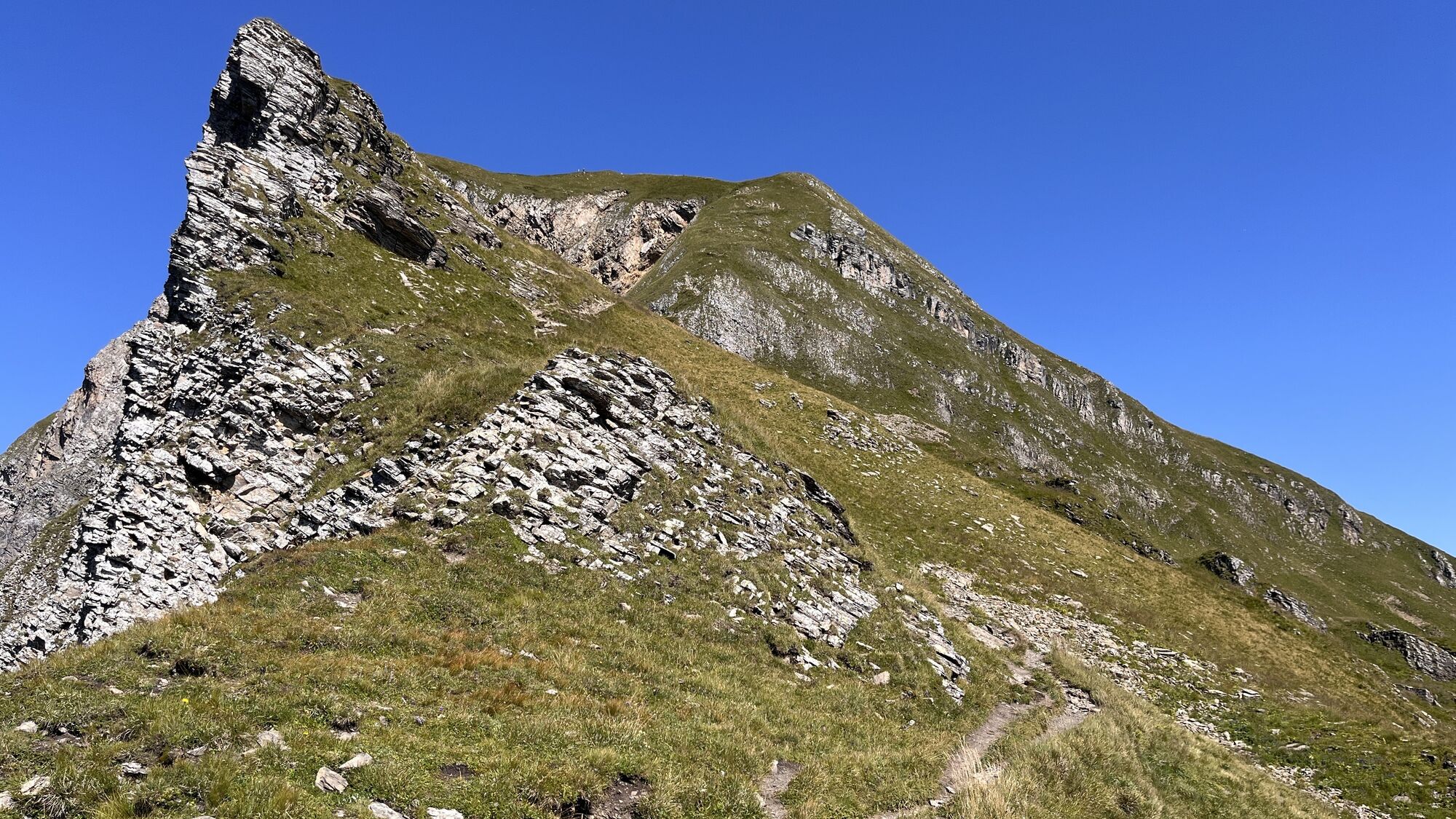
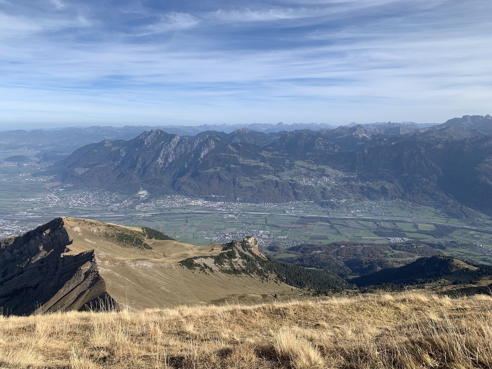
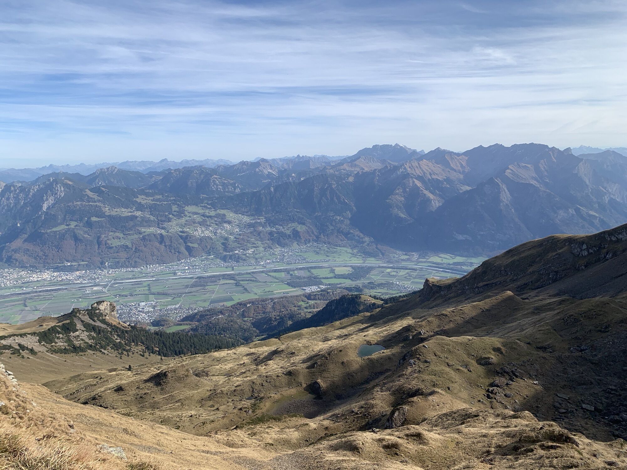
The hike leads us past the Palfries mountain inn from the mountain station towards "in de Stei". From there, a steep ascent begins up to Alvier. With some luck, we may spot the very rare edelweiss along the path. On Alvier, we are rewarded with a magnificent view (in clear weather up to Lake Constance).

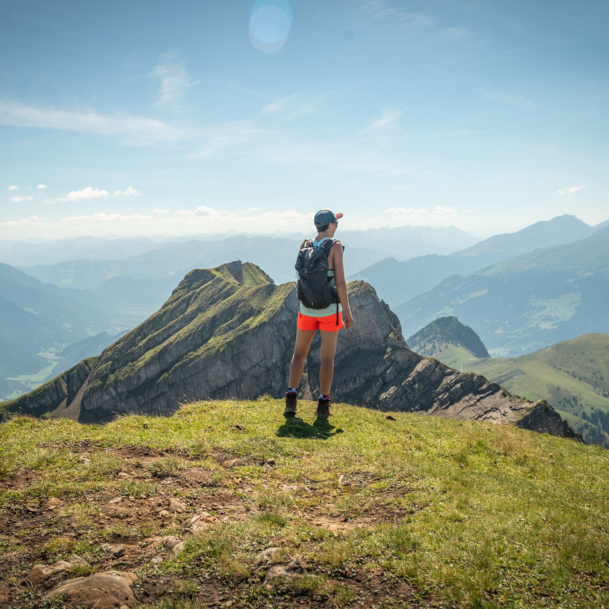
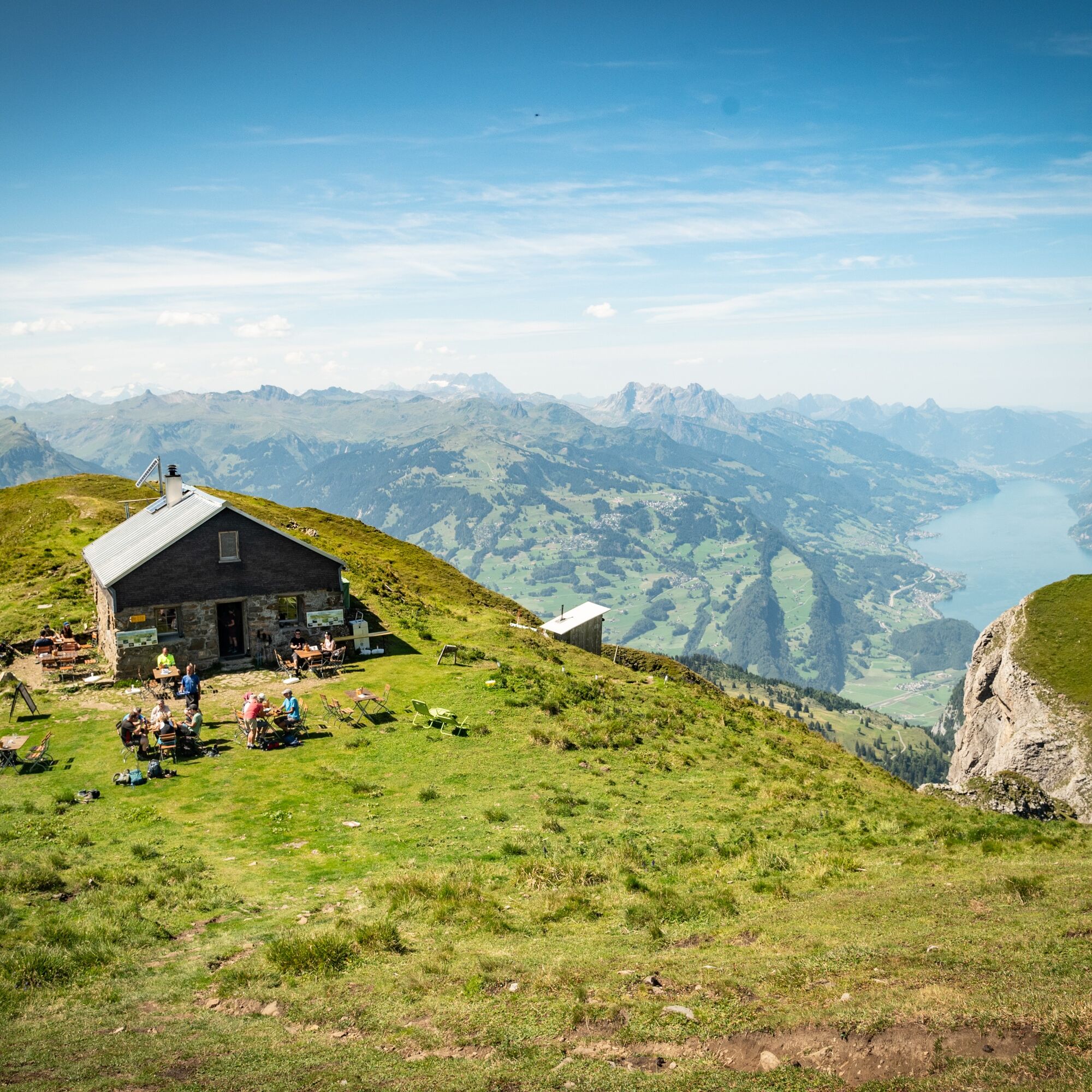
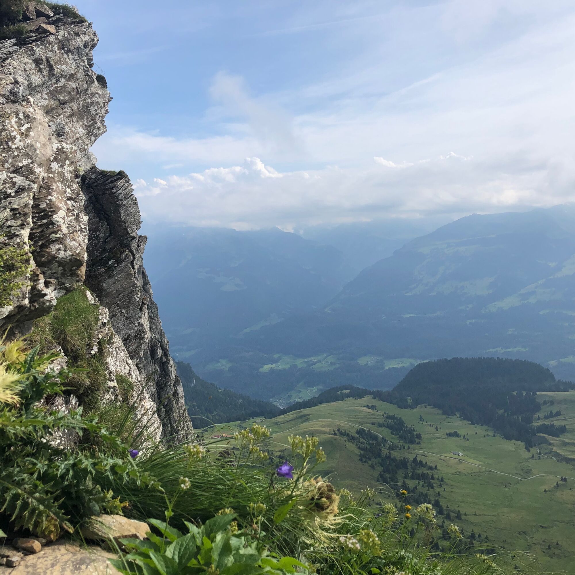
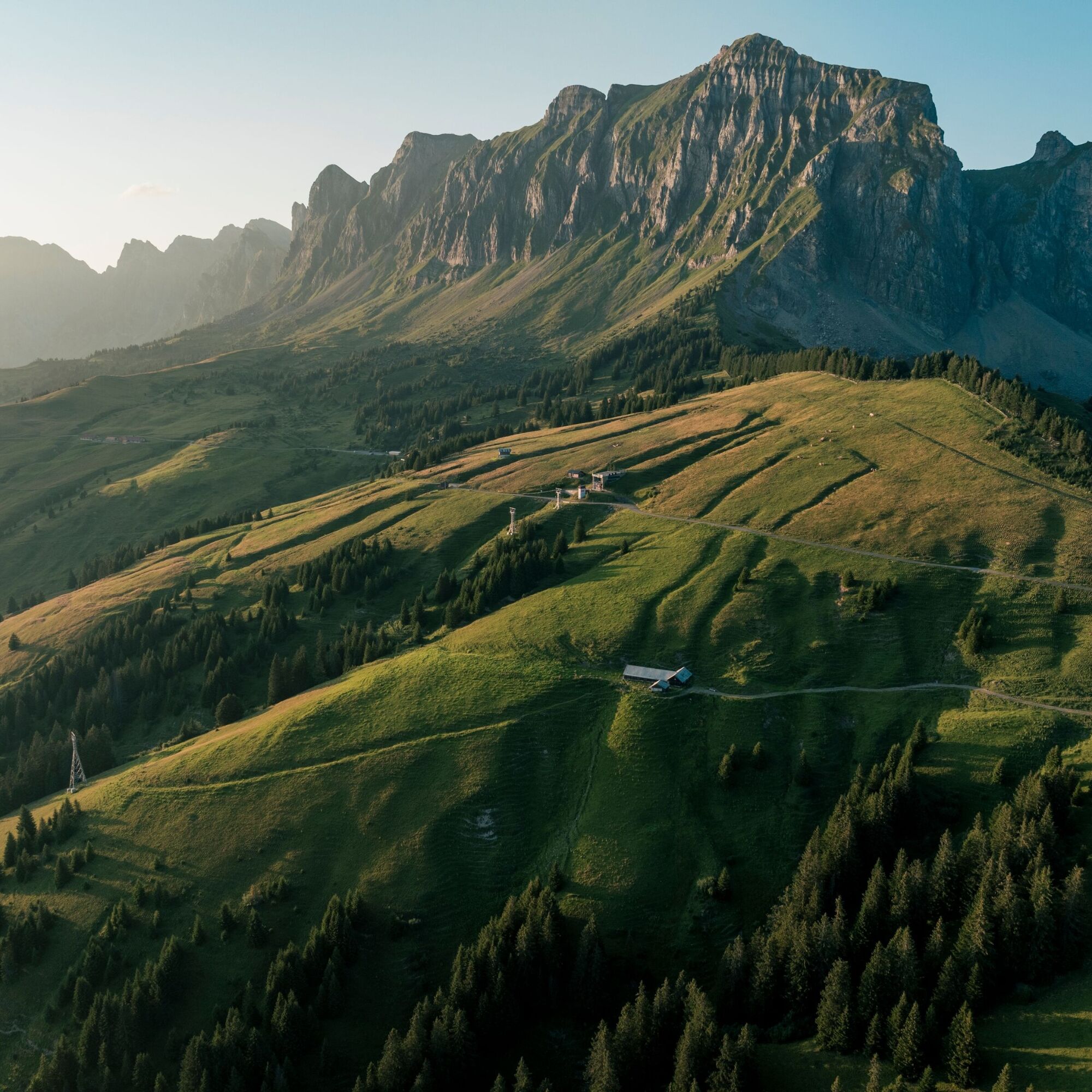
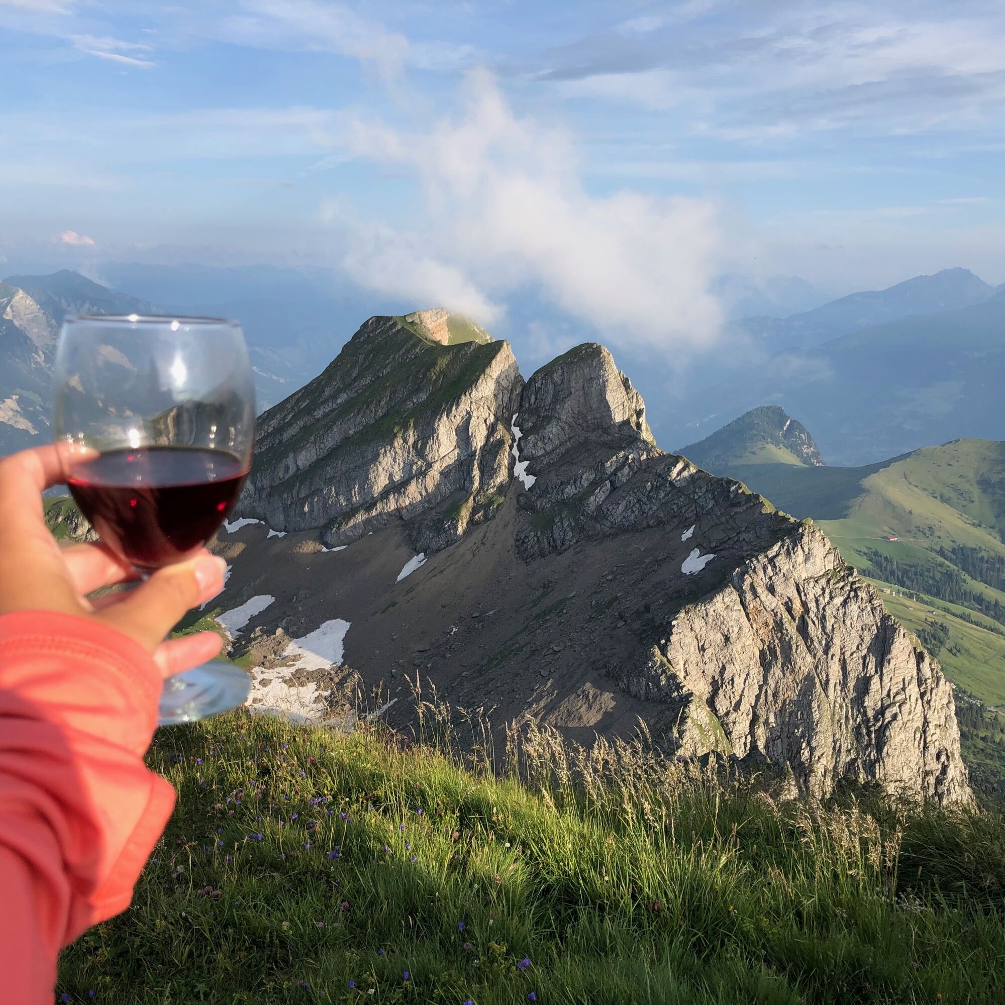

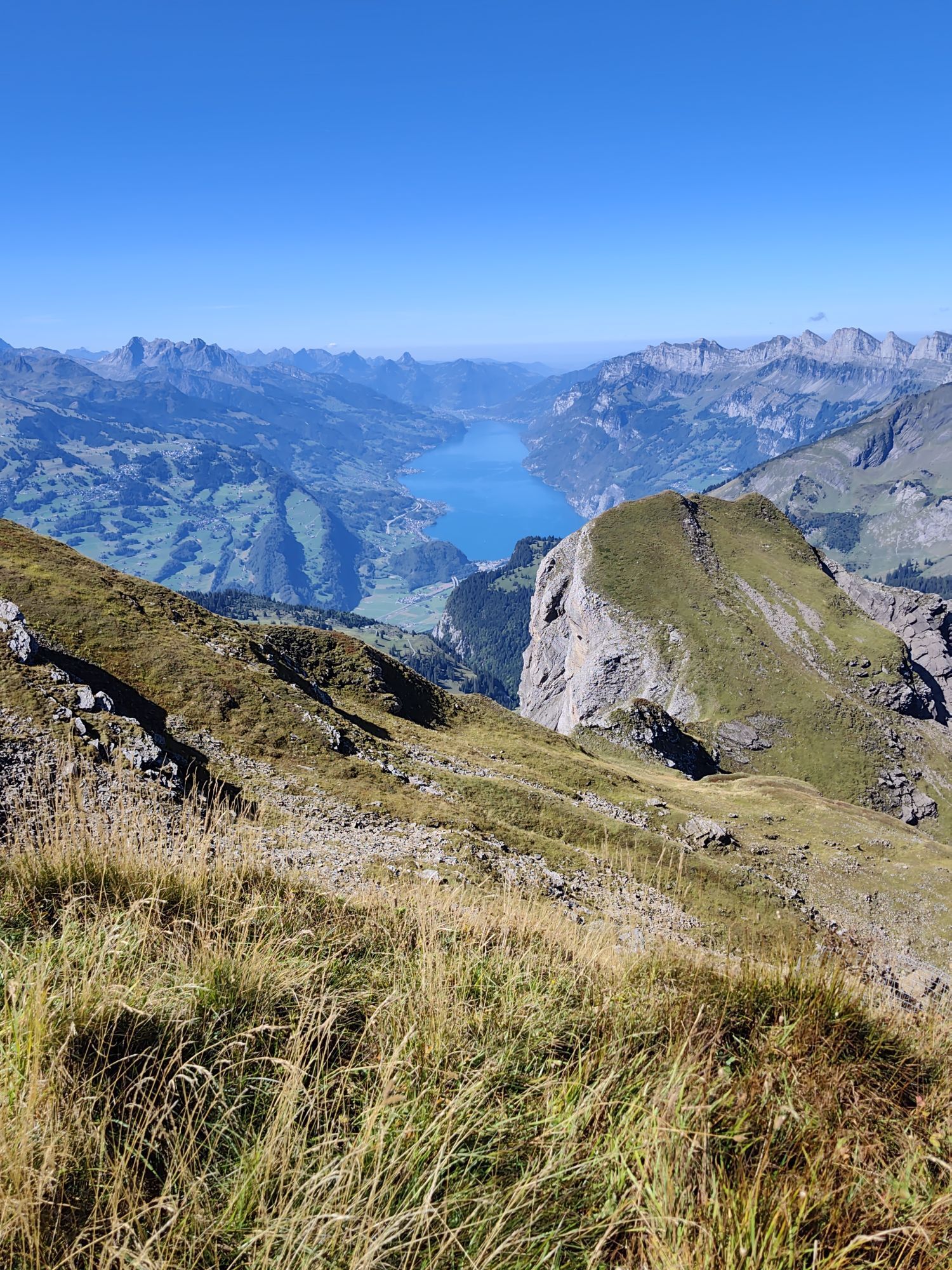
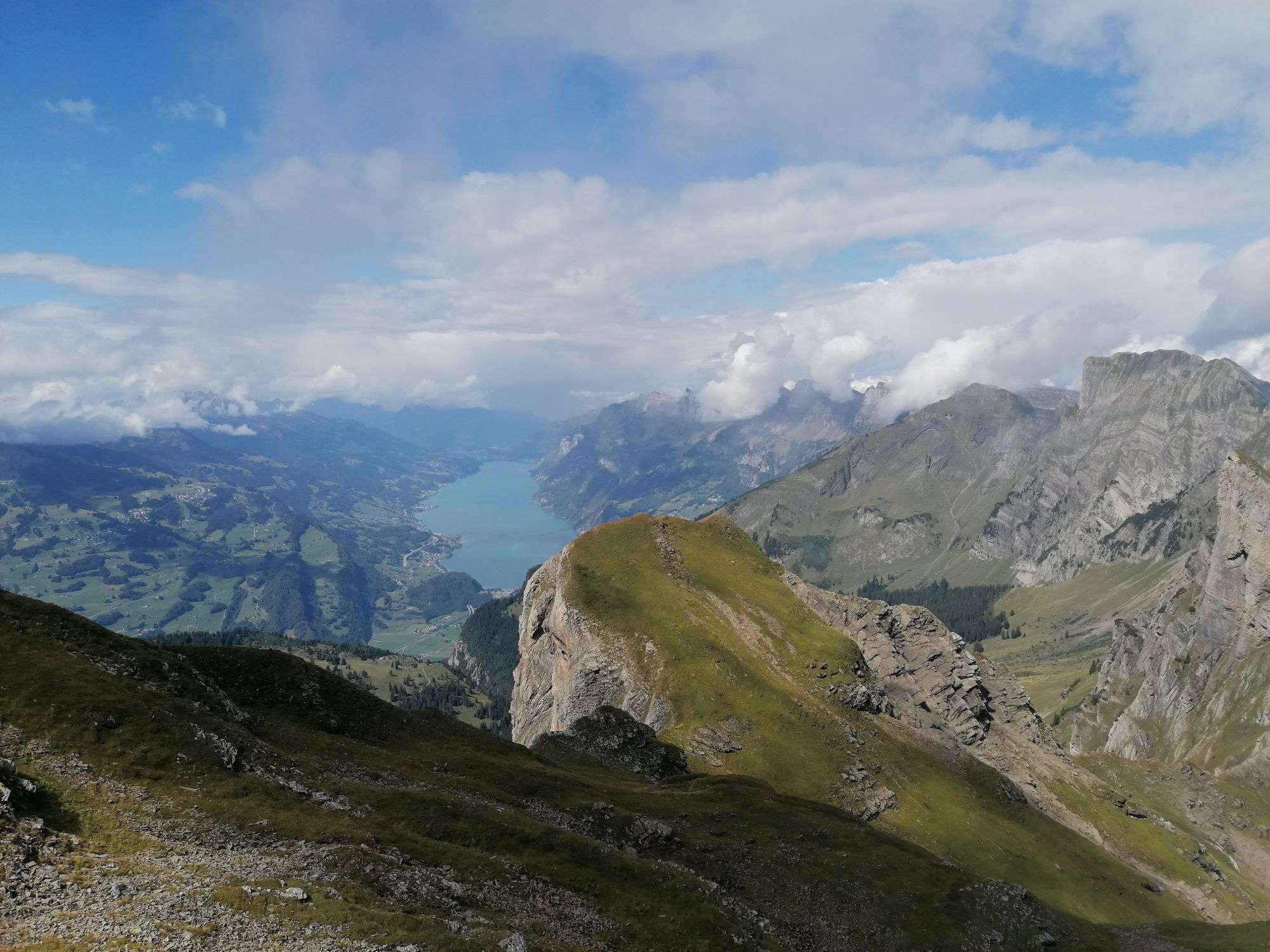
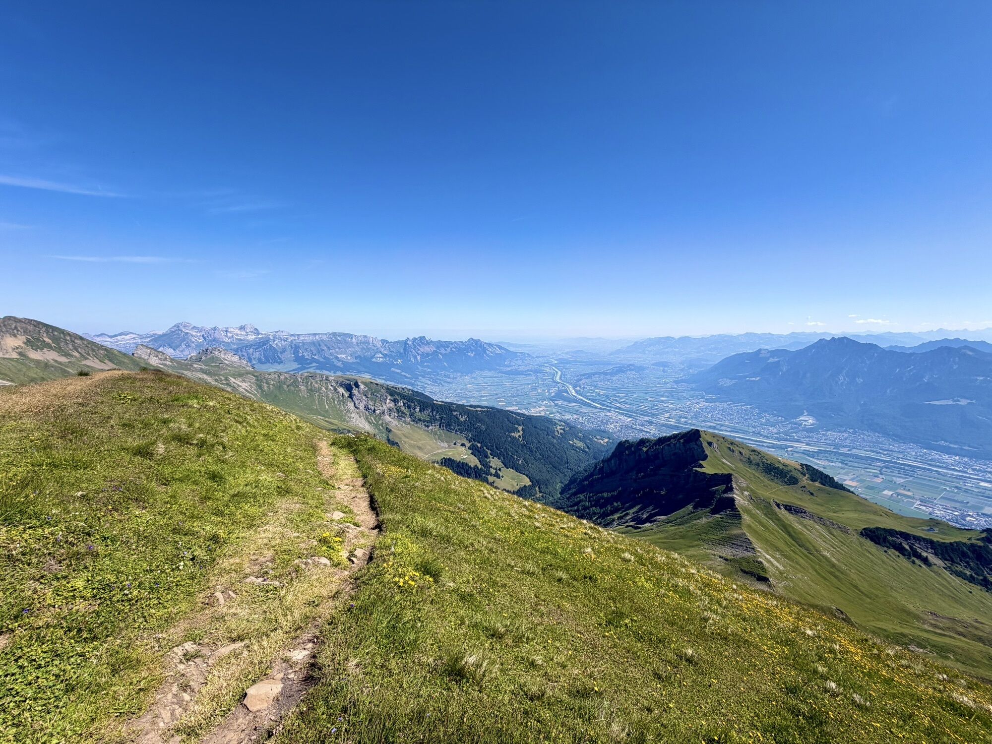
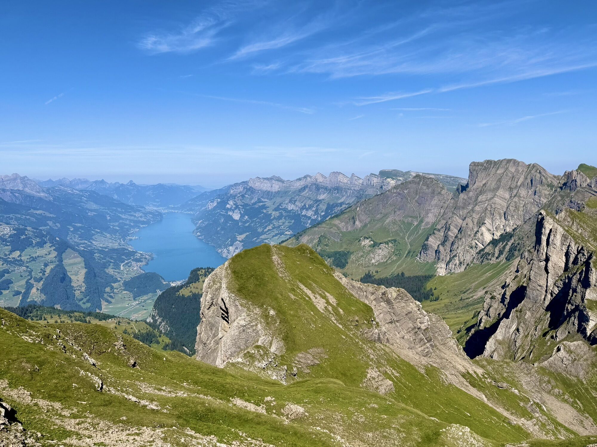
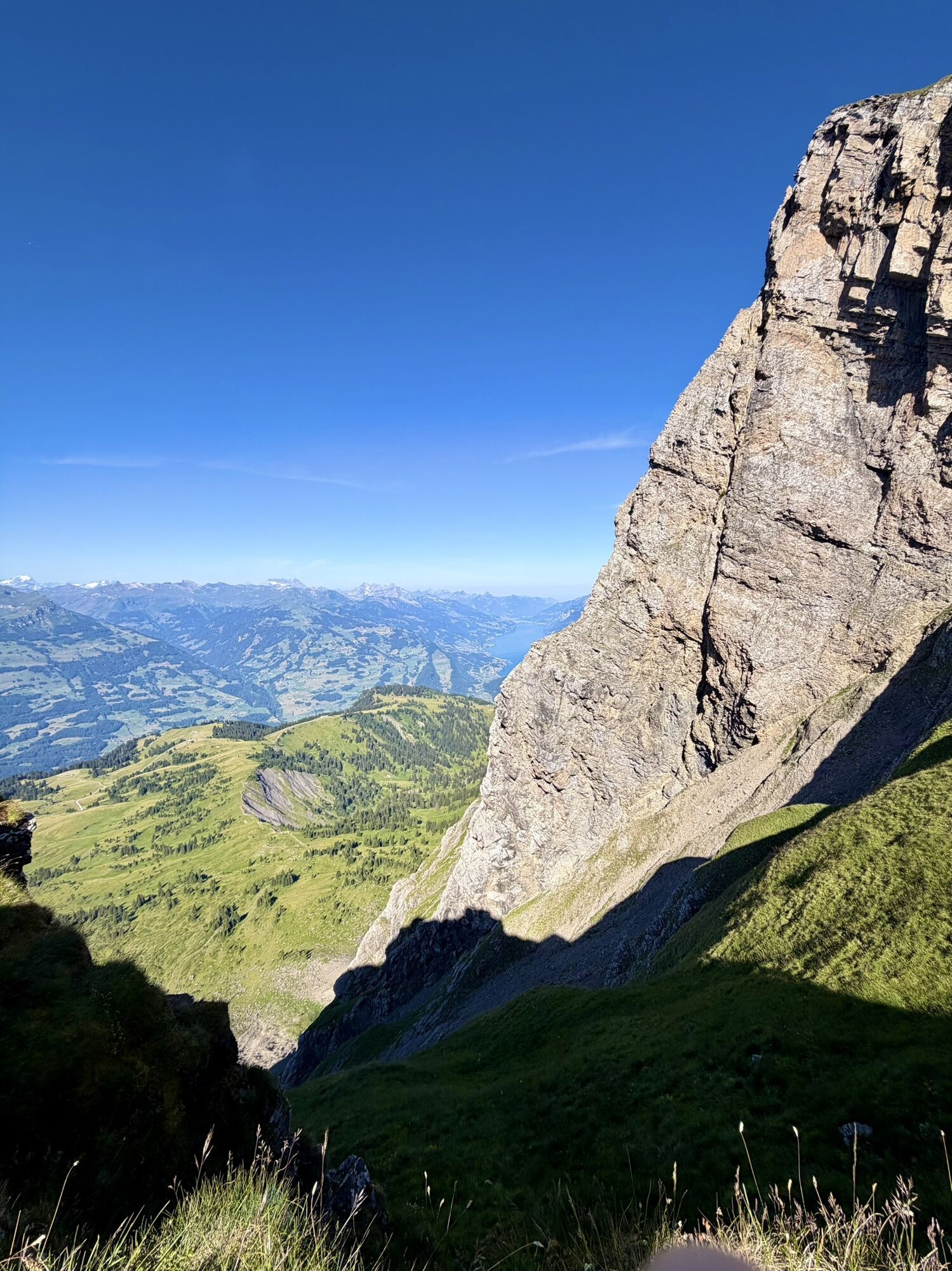
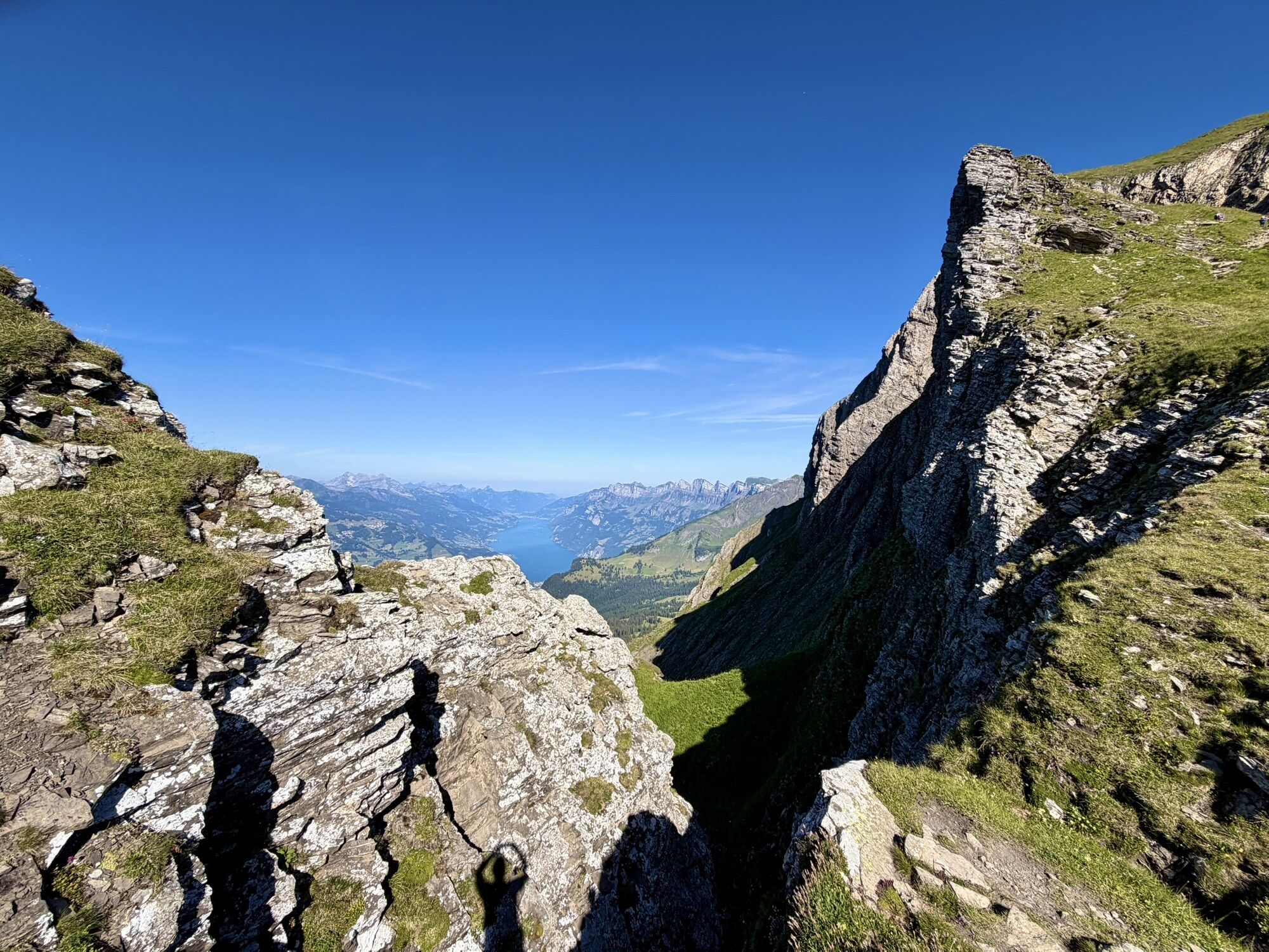
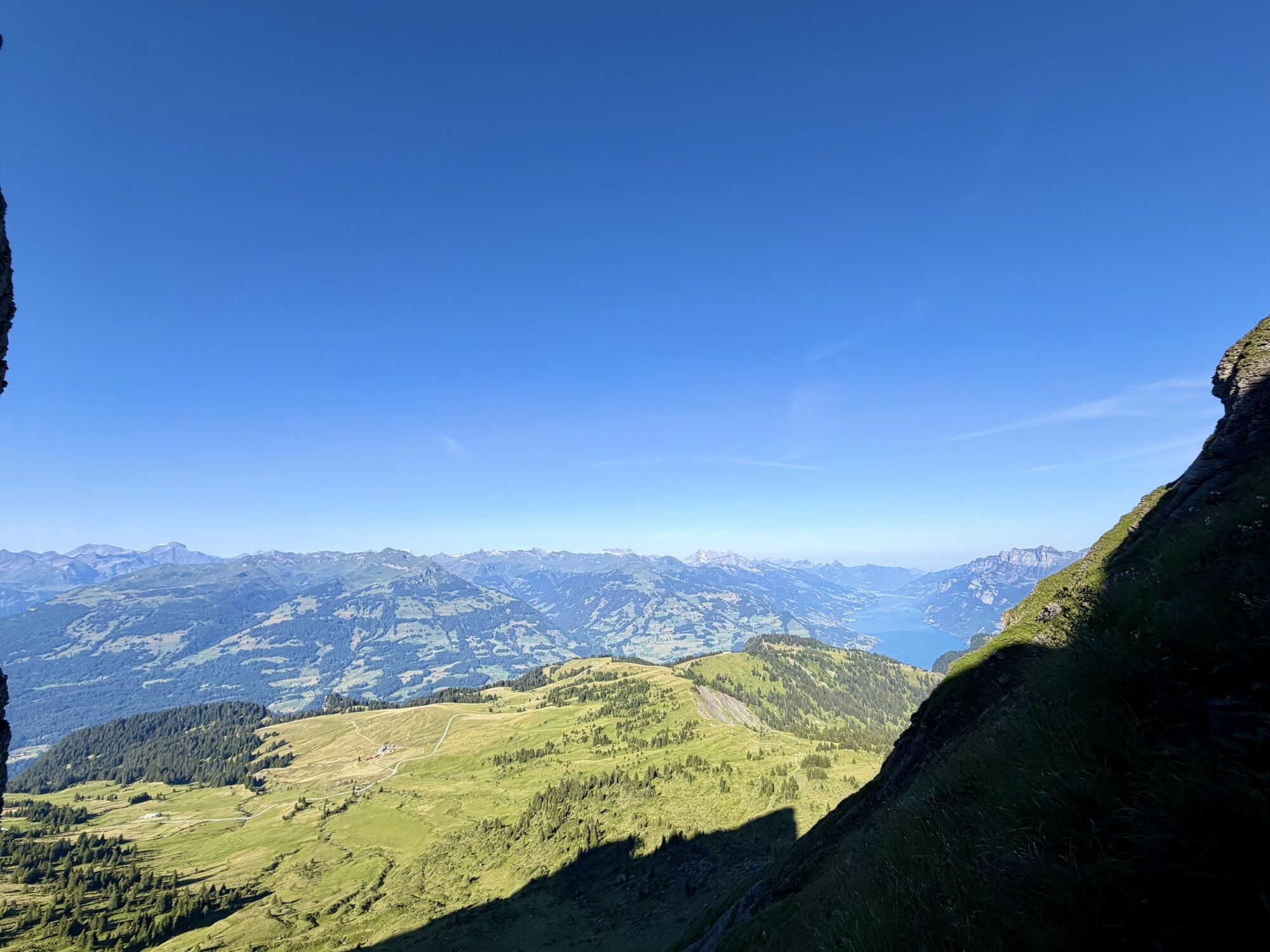
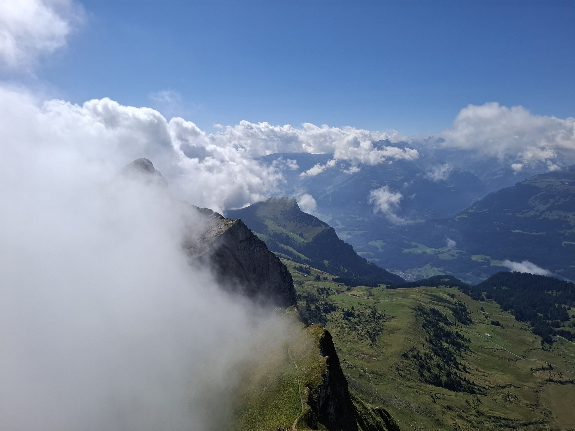
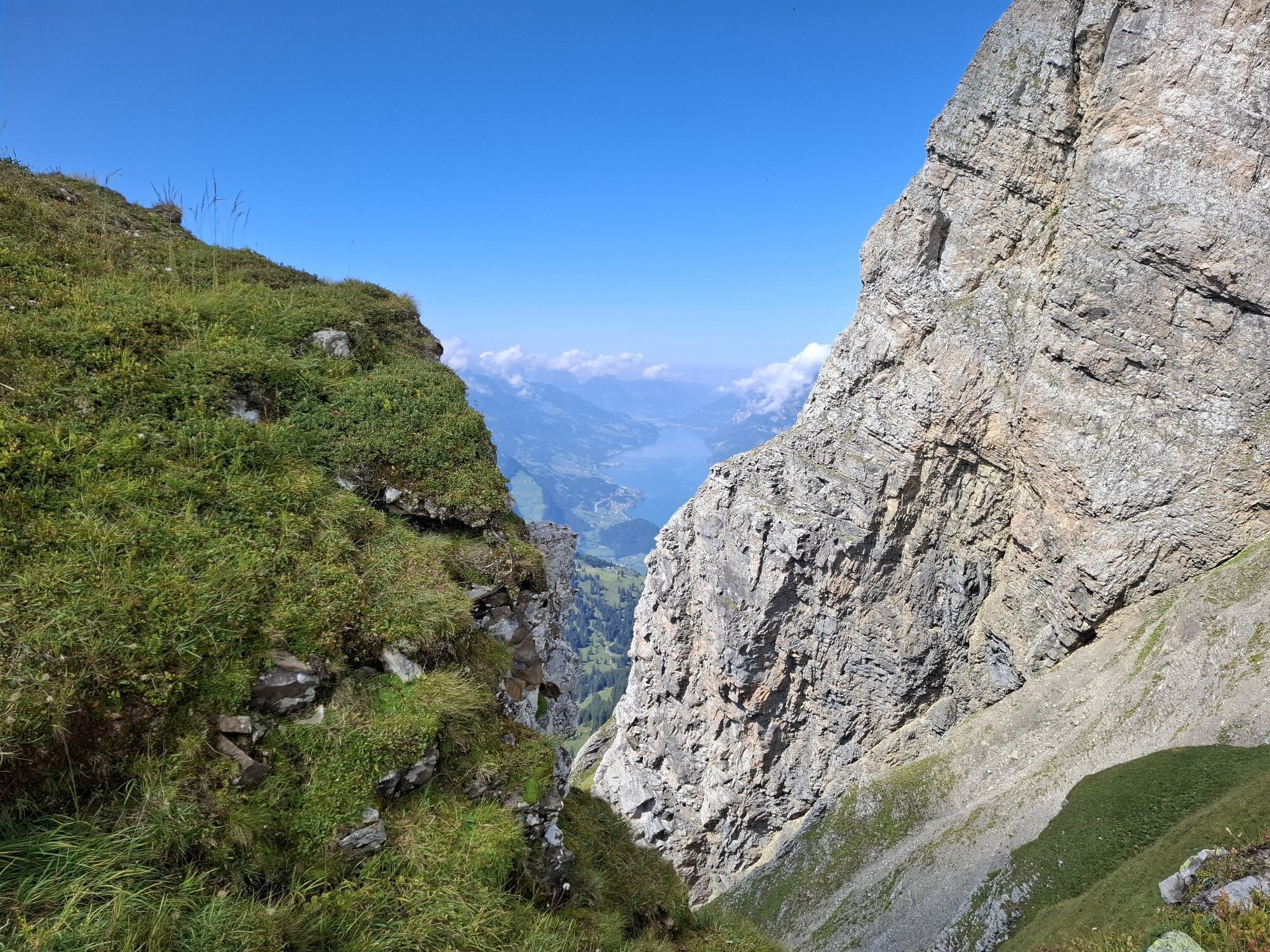
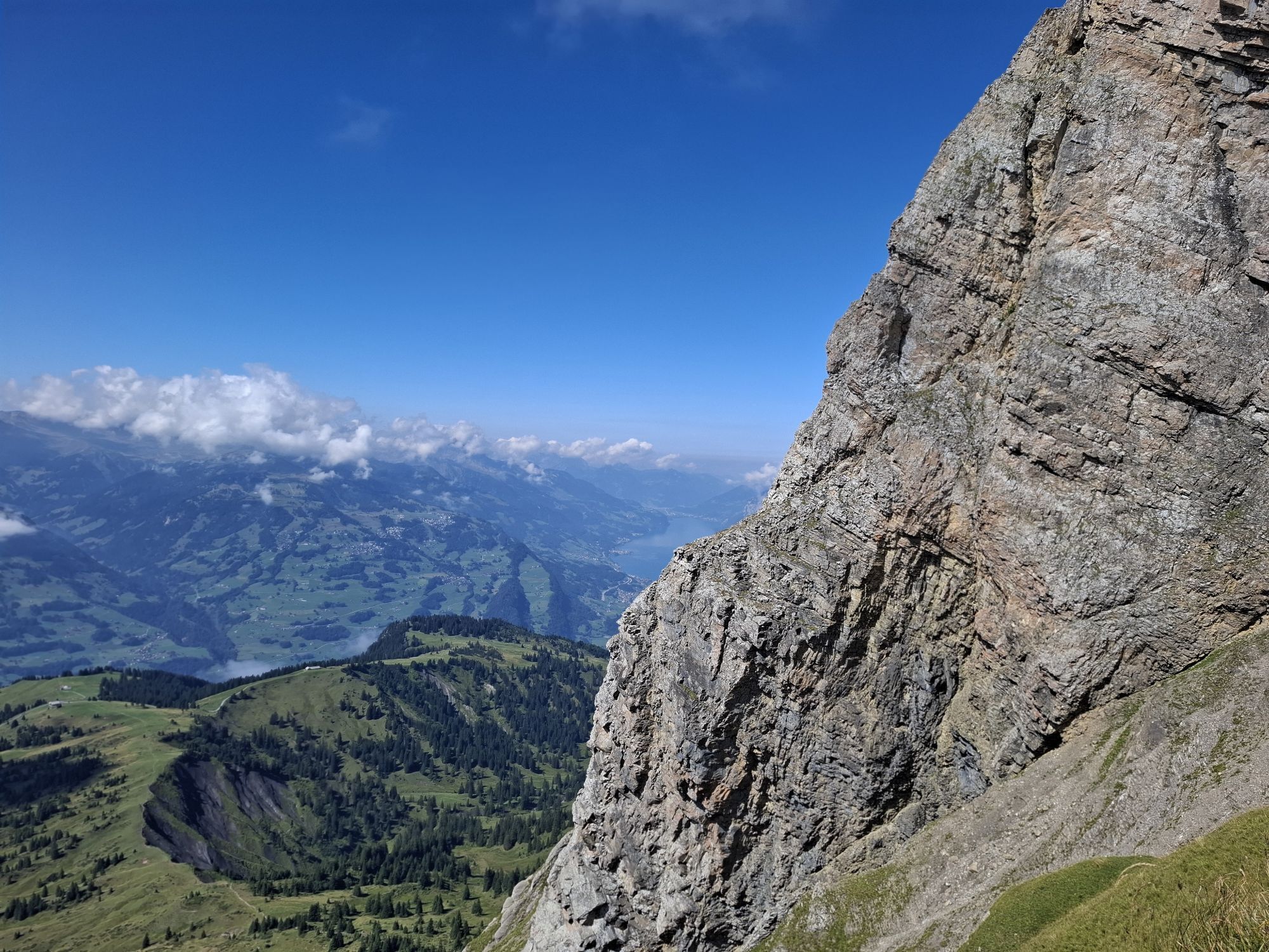
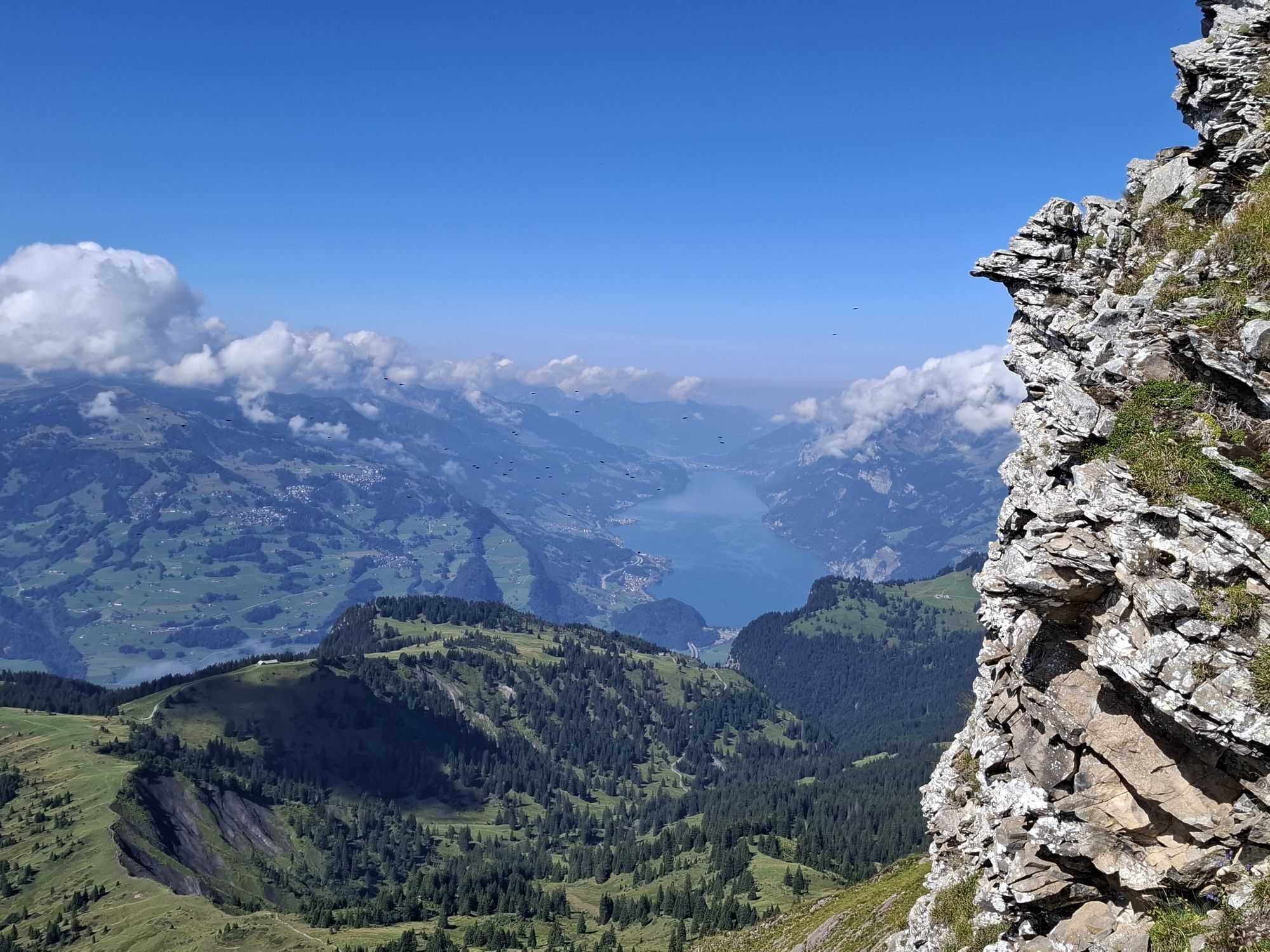
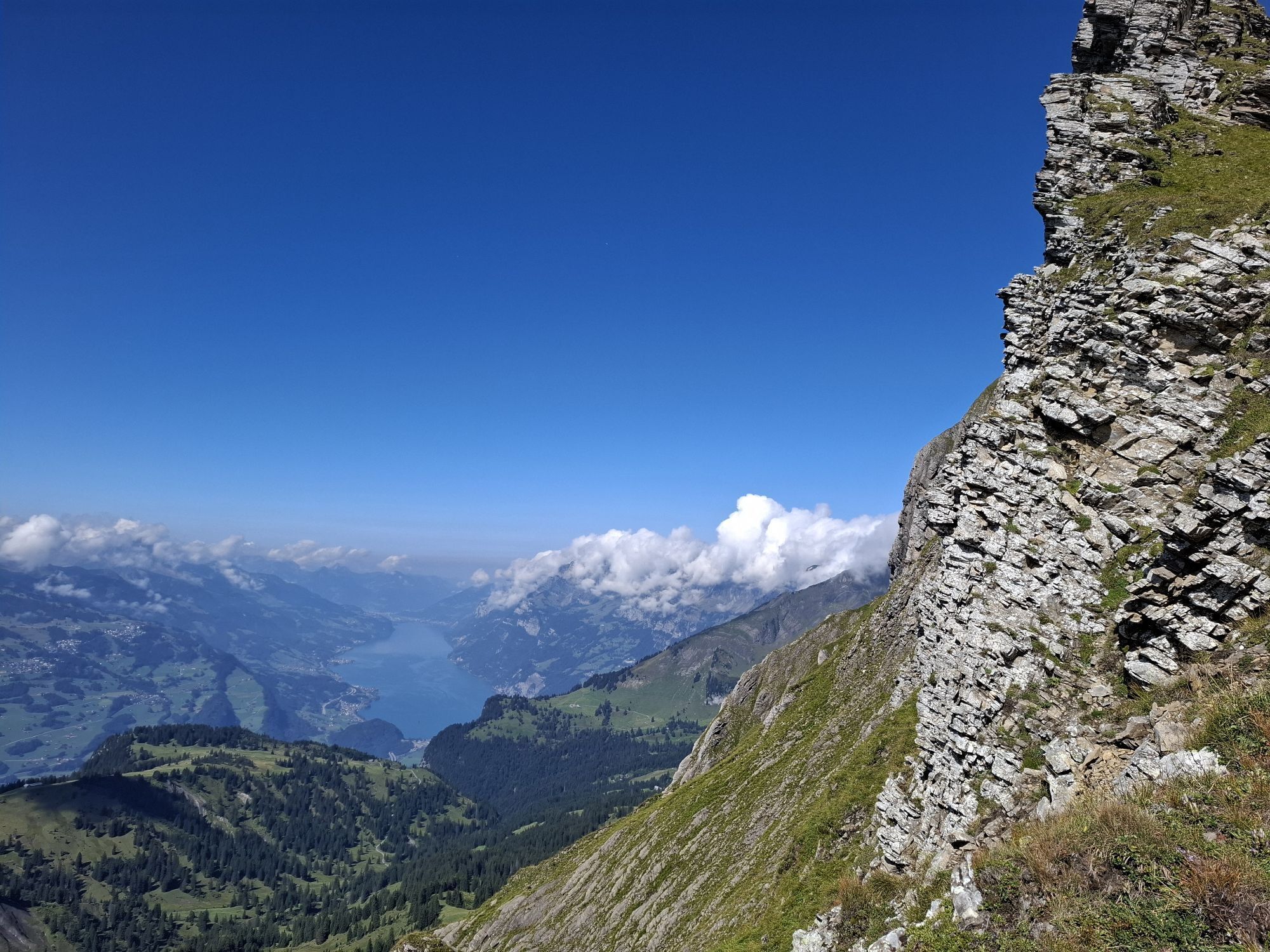
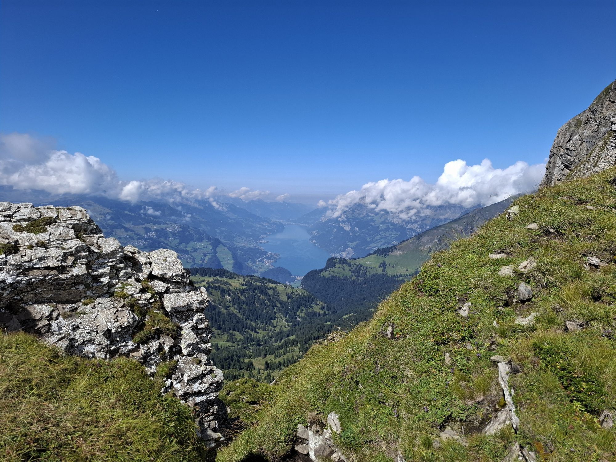
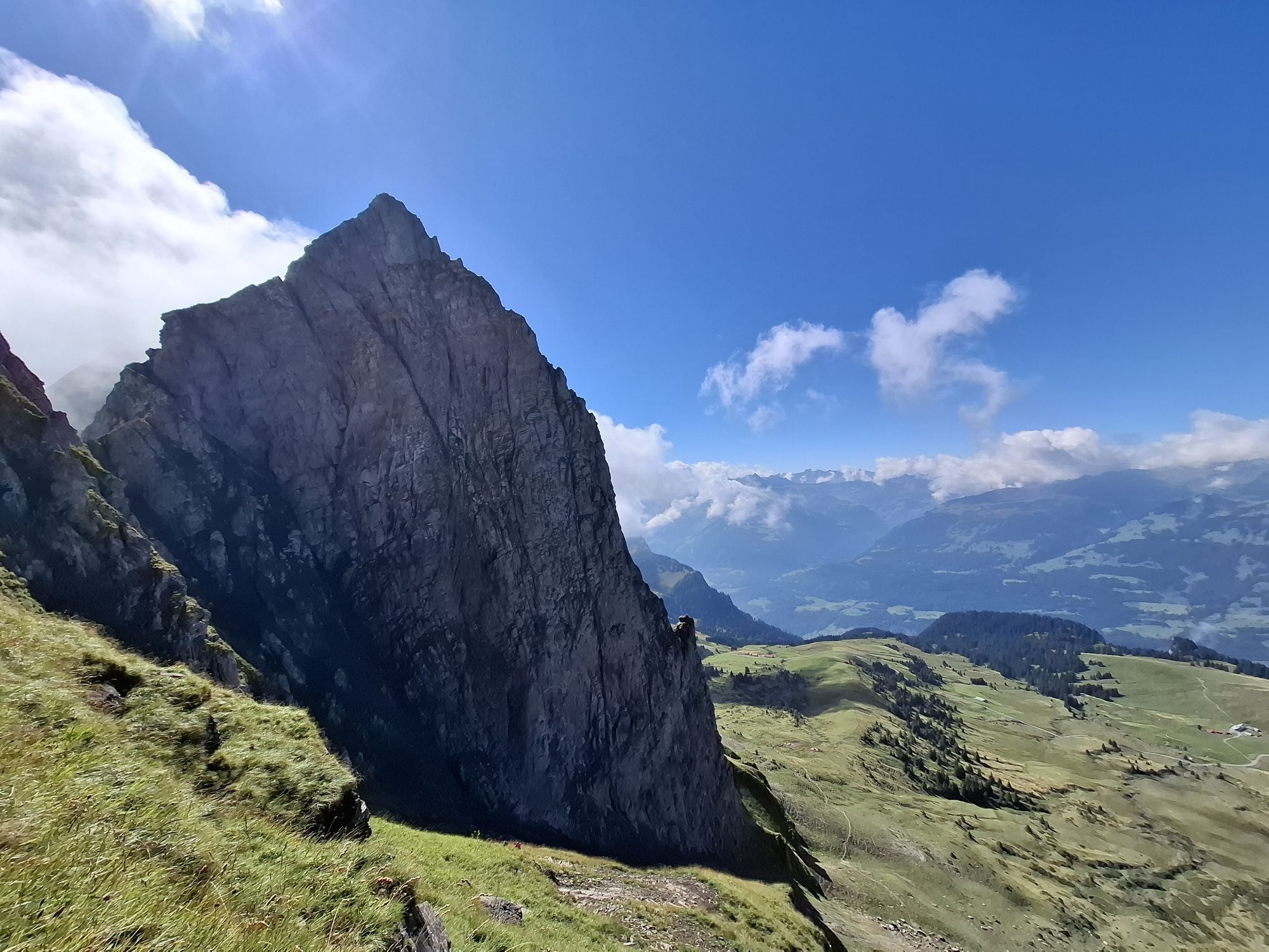
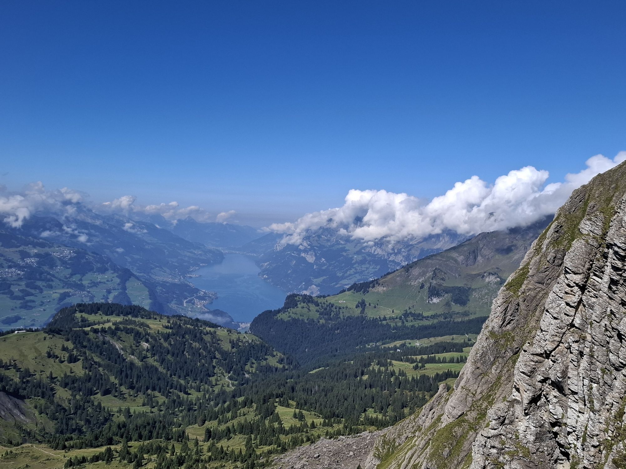
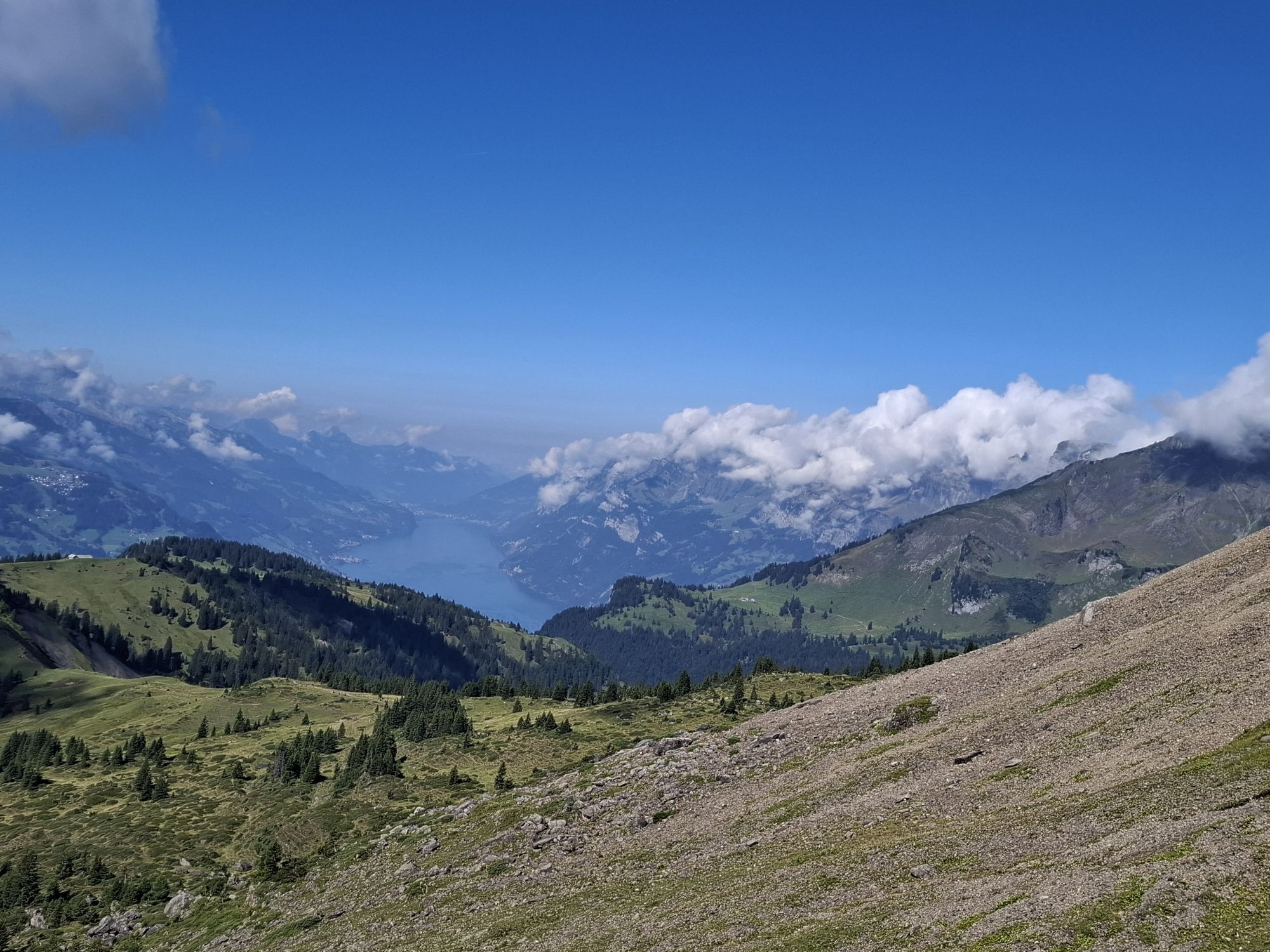
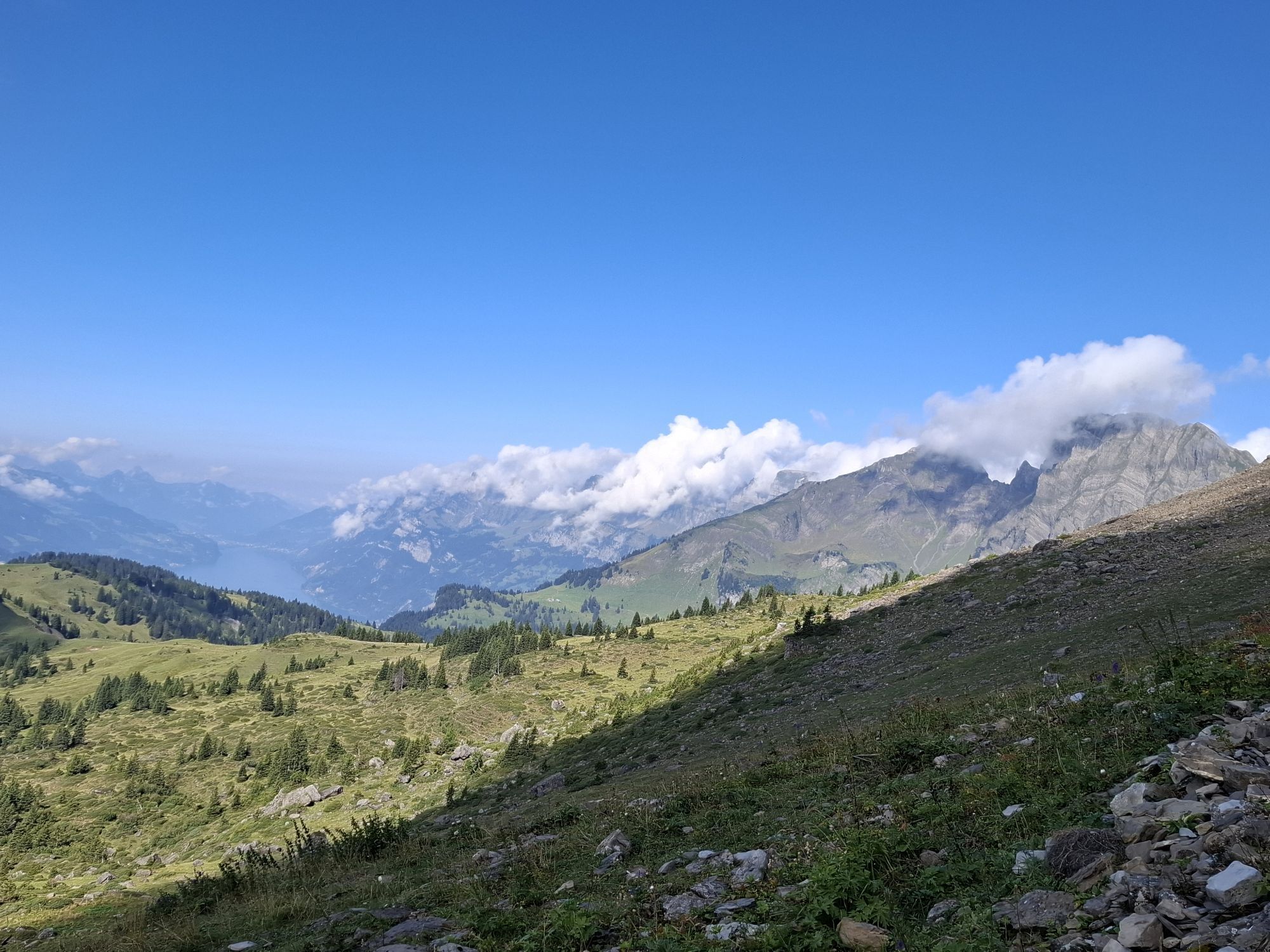
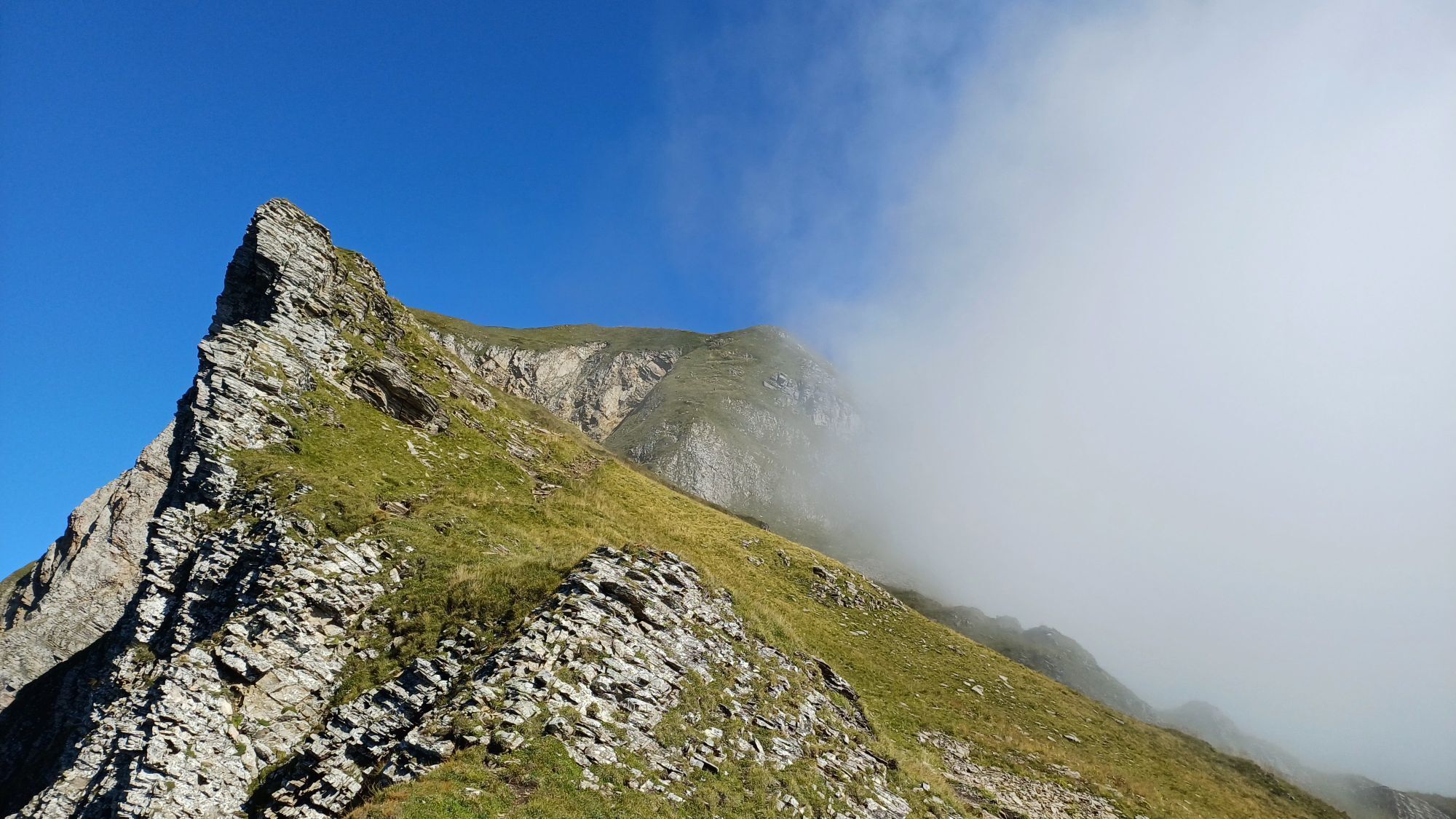
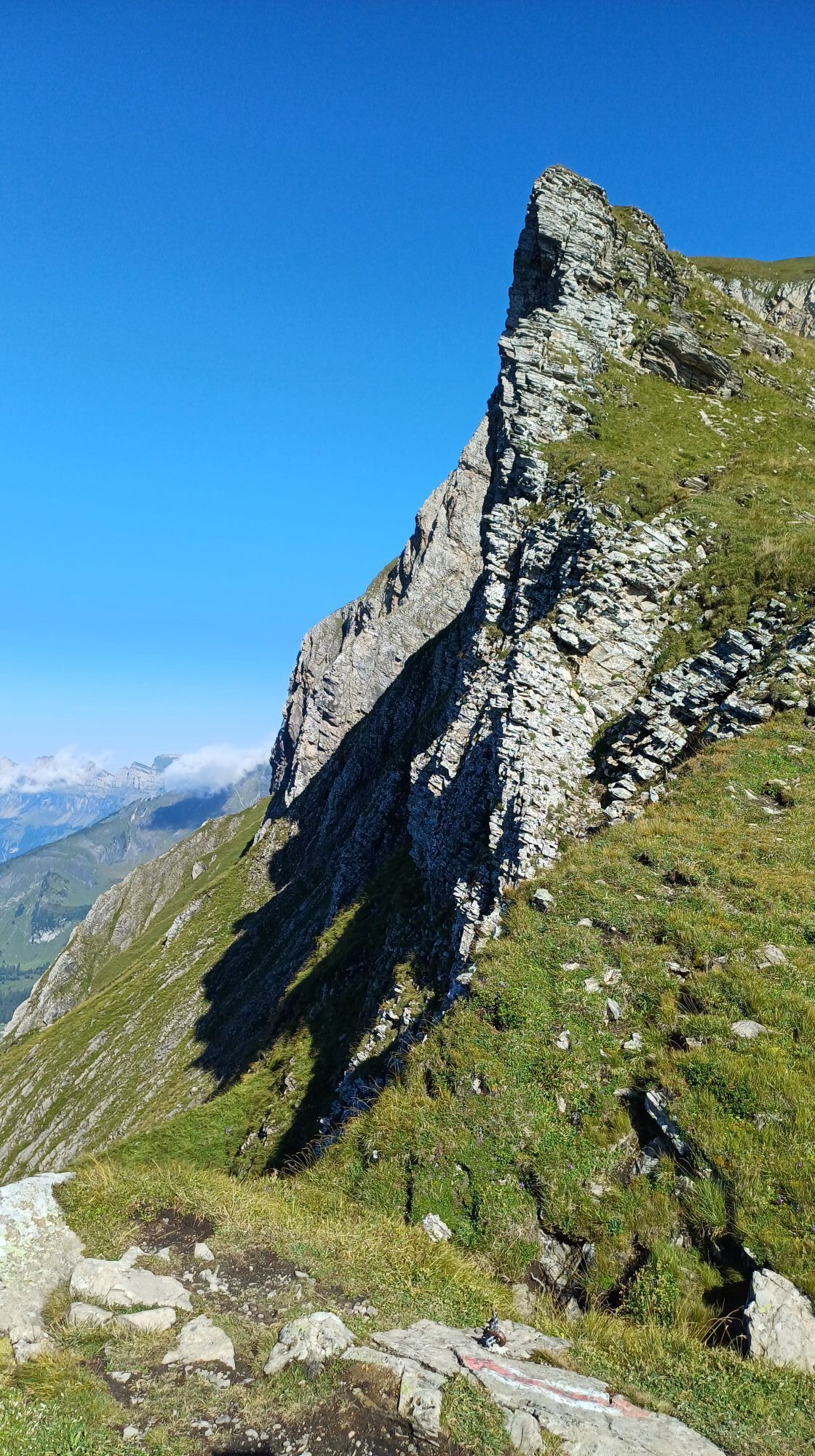
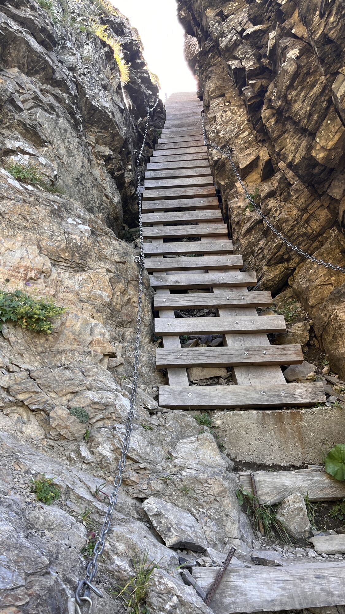
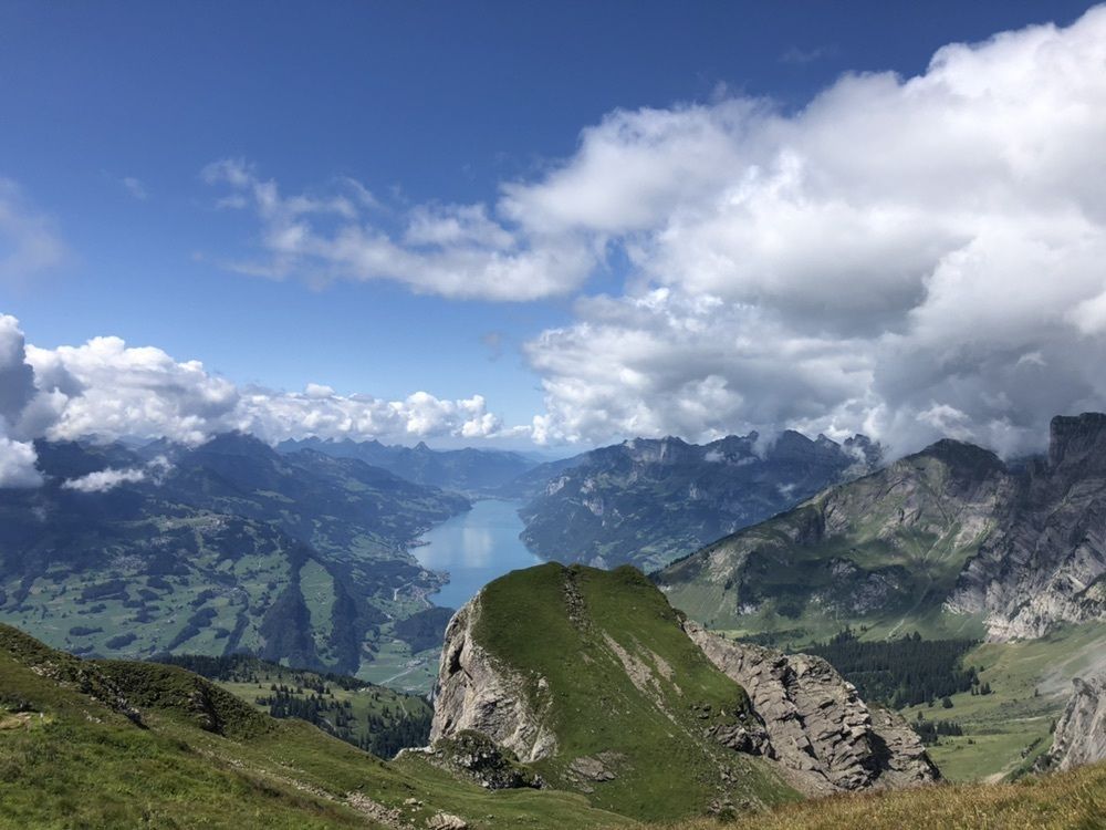
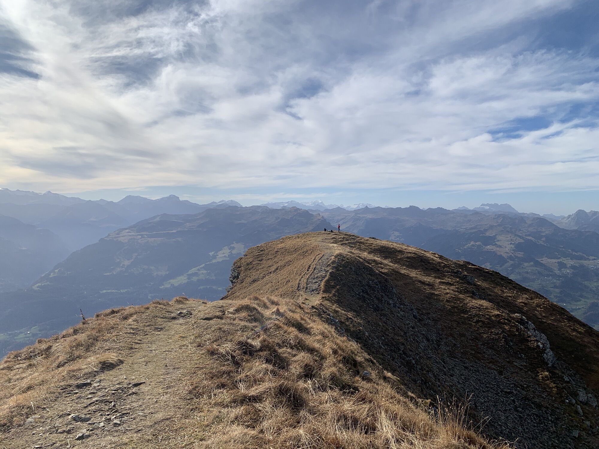
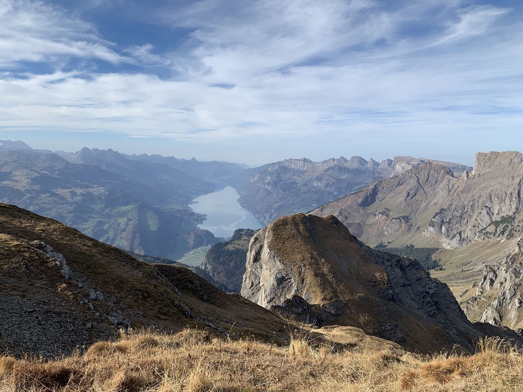
From the Palfries mountain station, the path first follows the road (northwest direction) to the Palfires mountain inn. After the large parking lot, we turn right; over alpine pastures it first goes gently, then increasingly steeper uphill. From 1800 m above sea level, the trail becomes quite alpine. In a chimney gully, we climb between the rocks with the help of a wooden ladder to the ridge exit at Chemmi. Looking back, the Flumserberge with the distinctive Spitzmeilen and the Walensee can be seen.
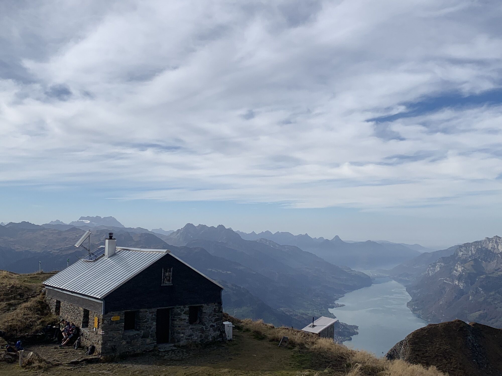
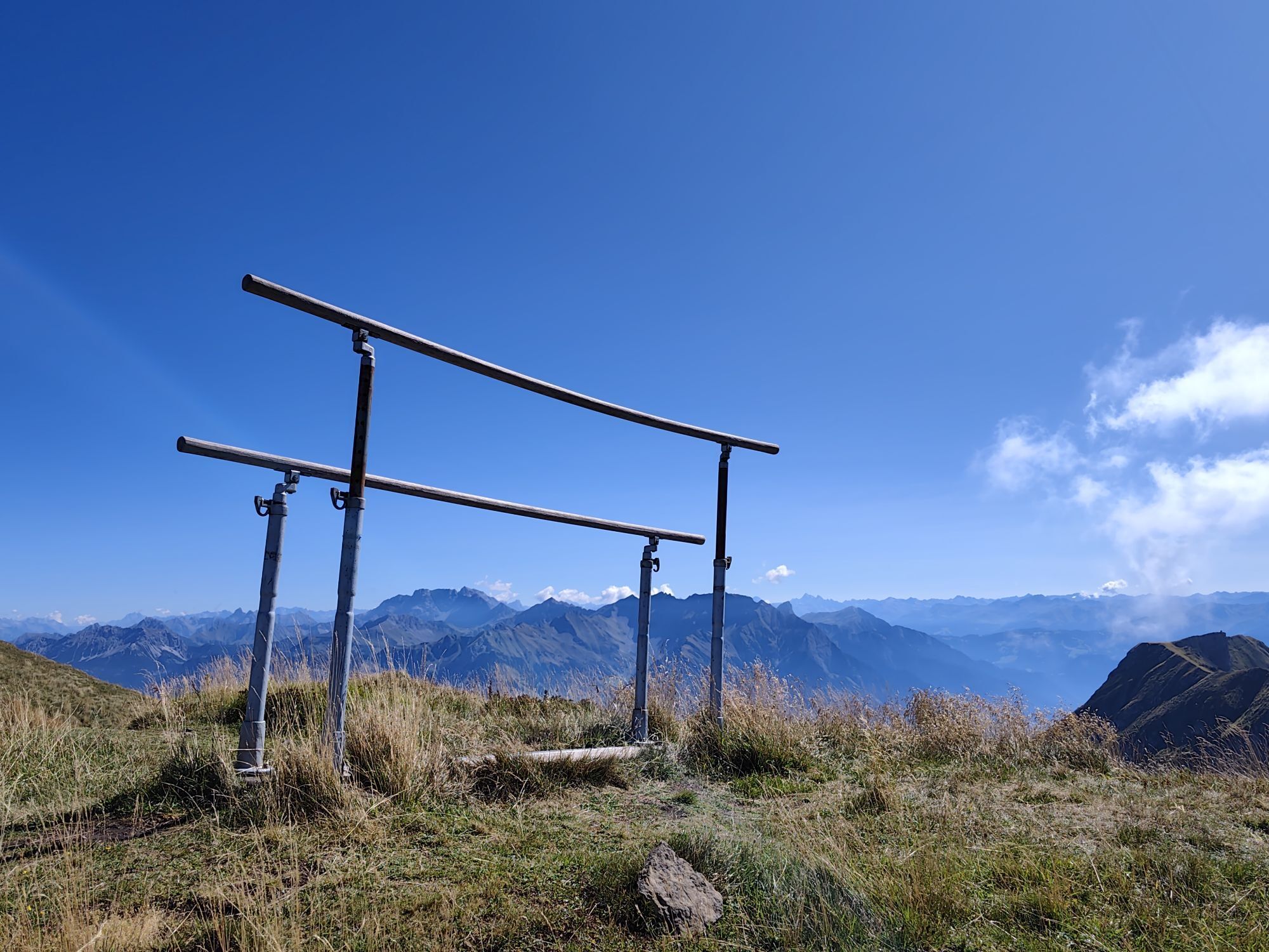
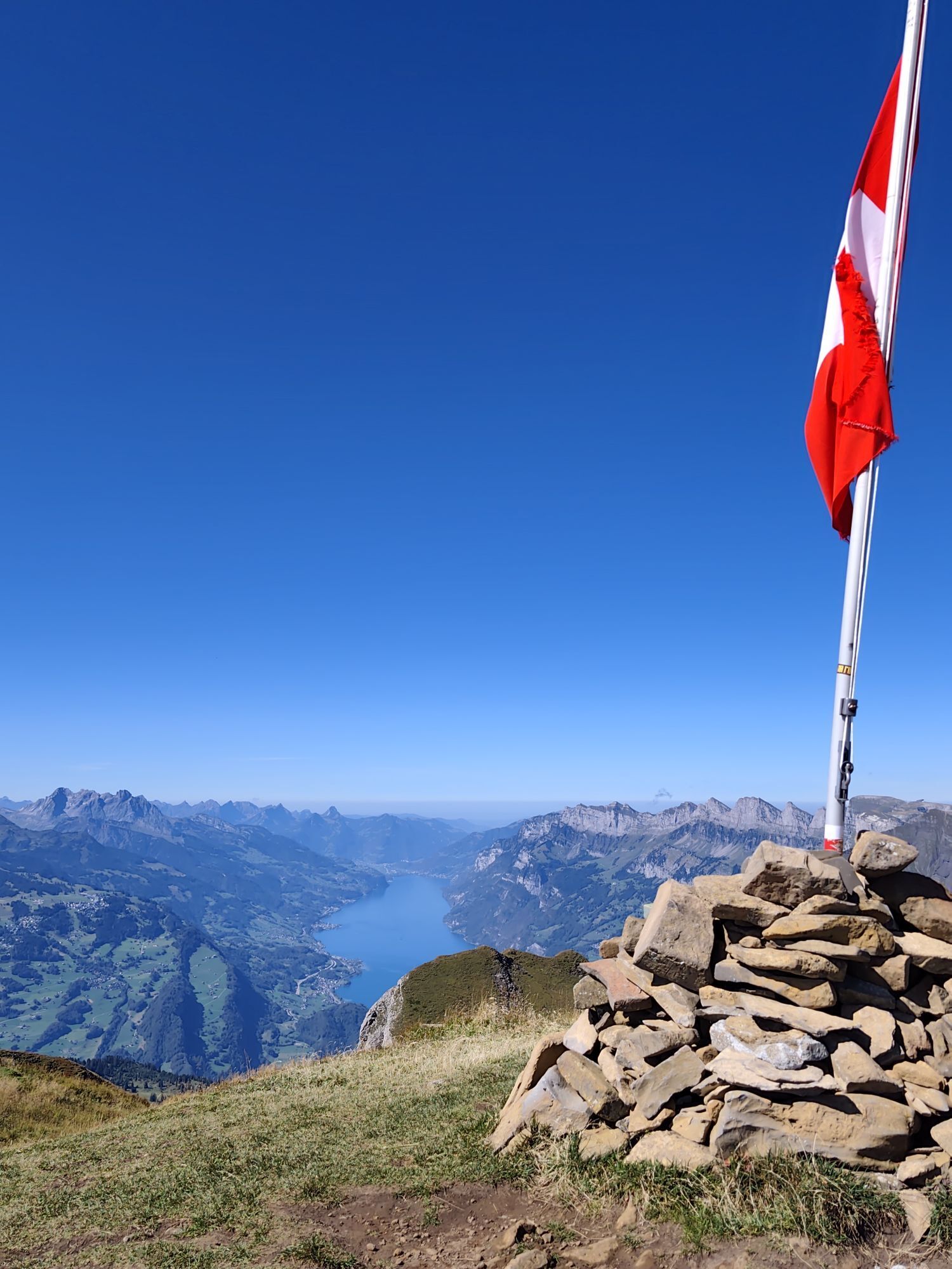
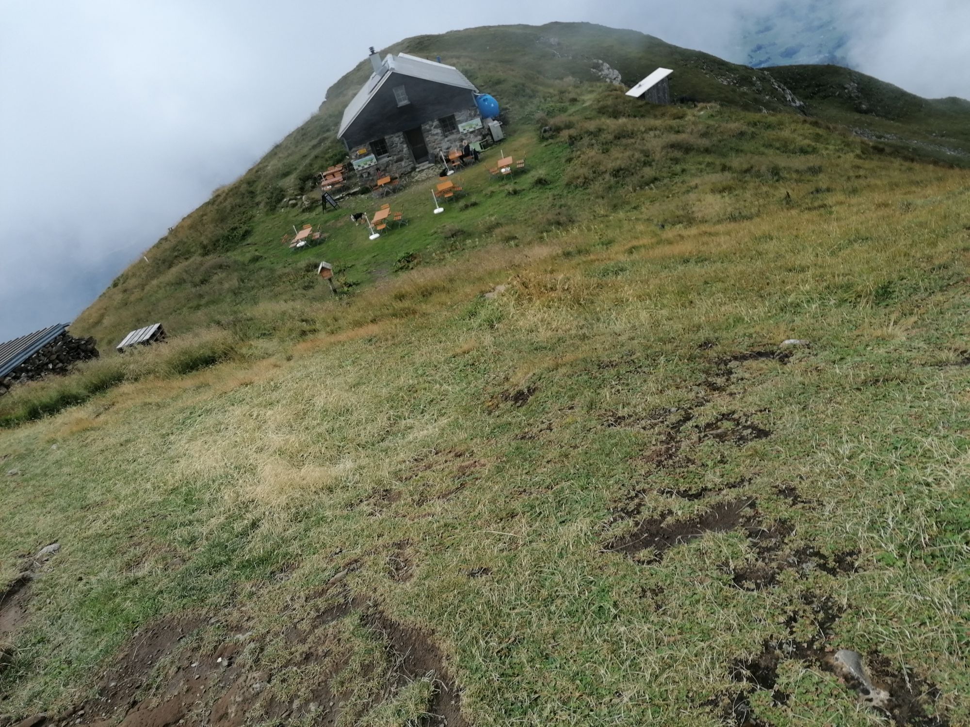
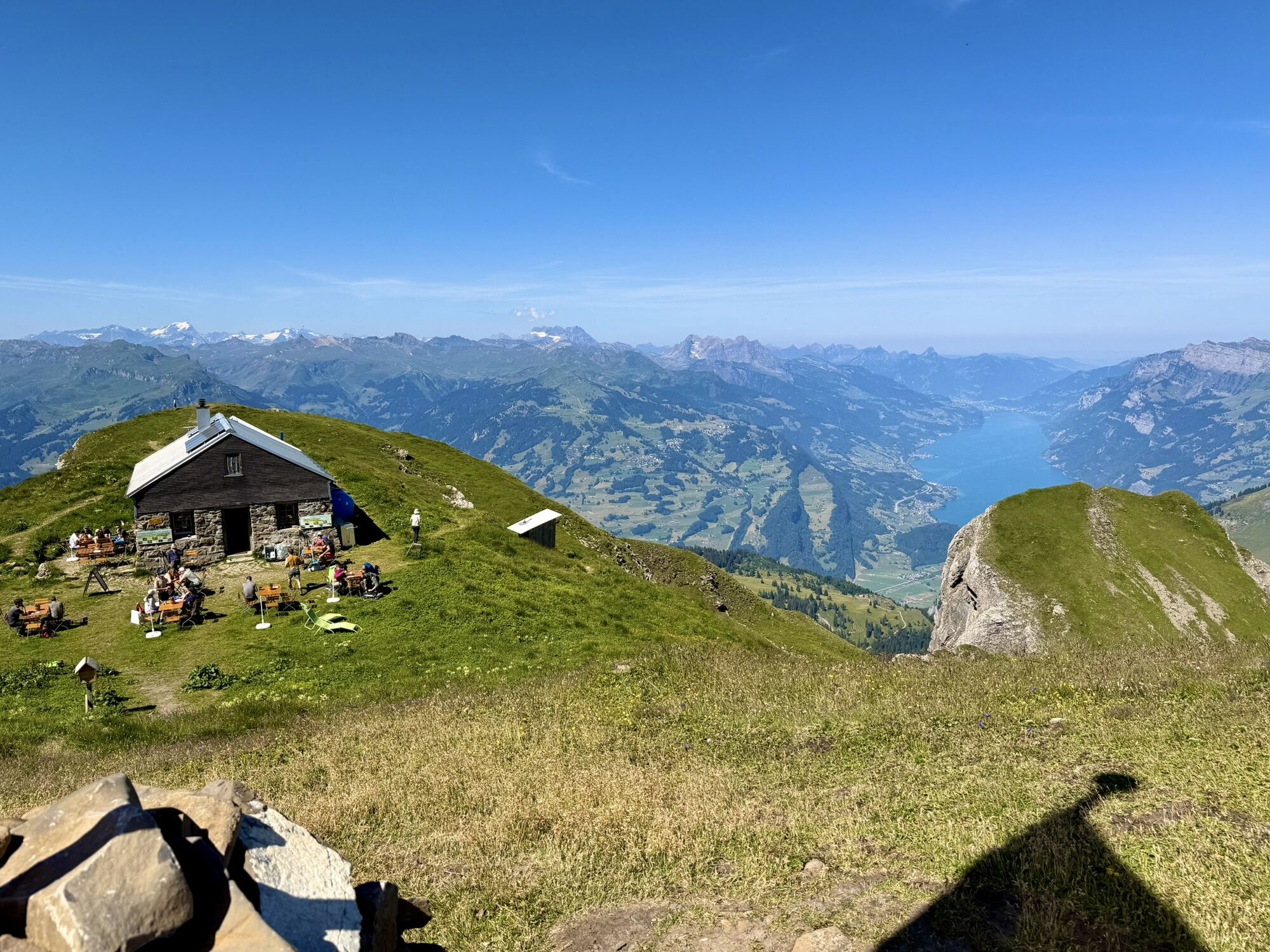
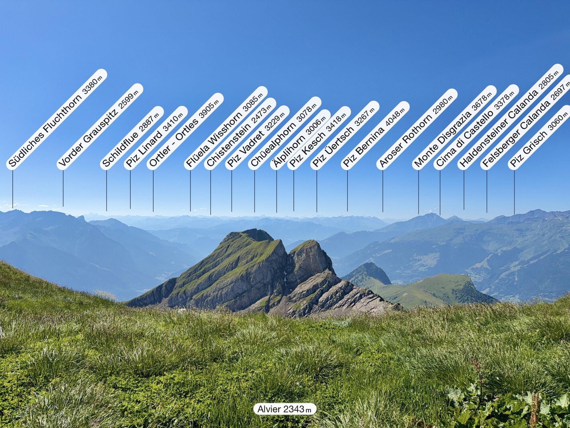
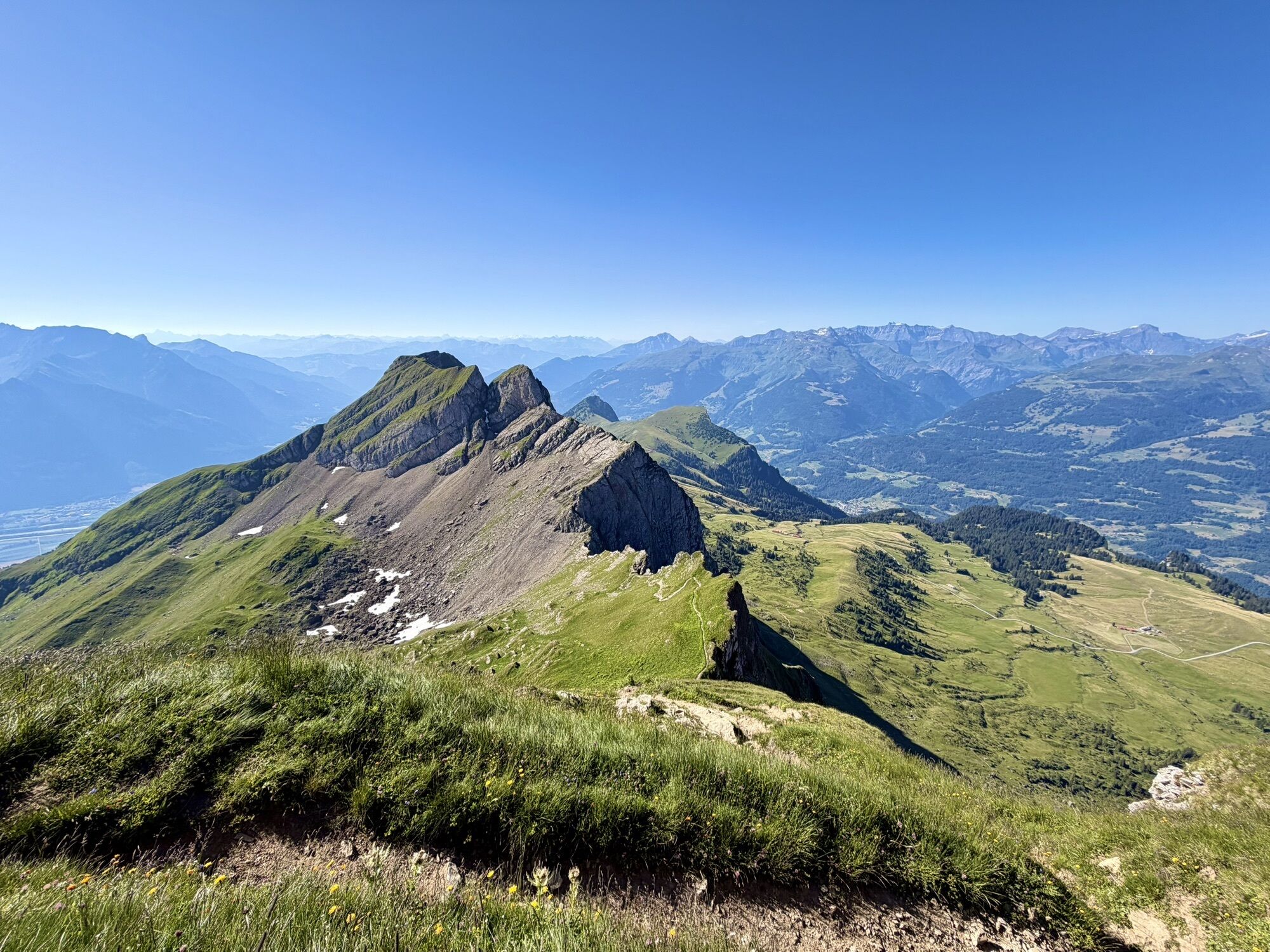
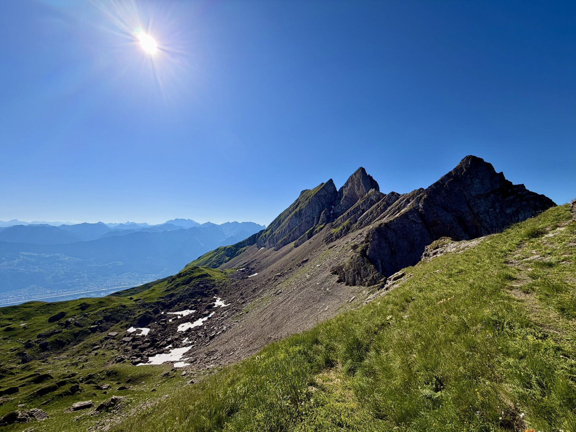
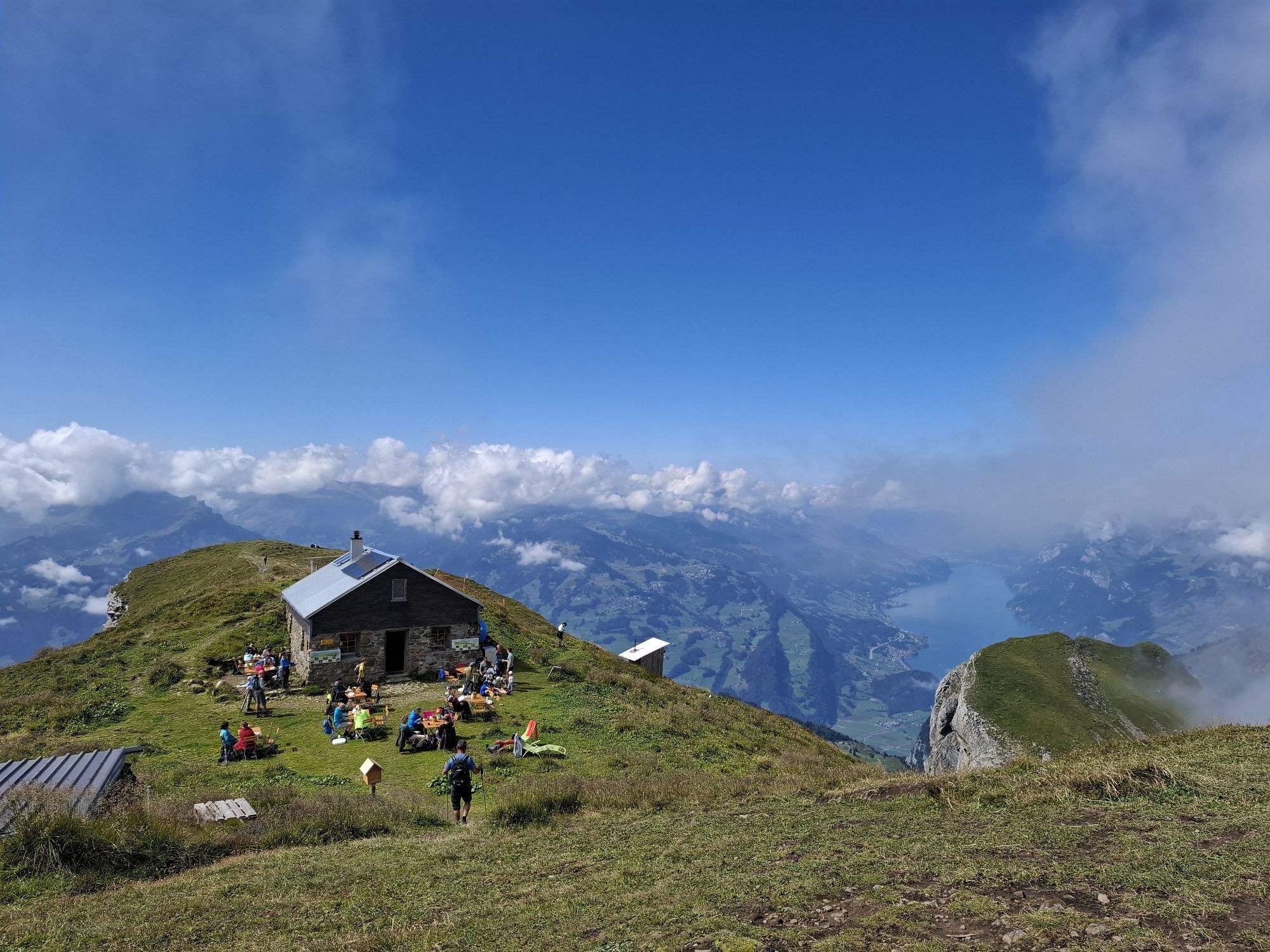
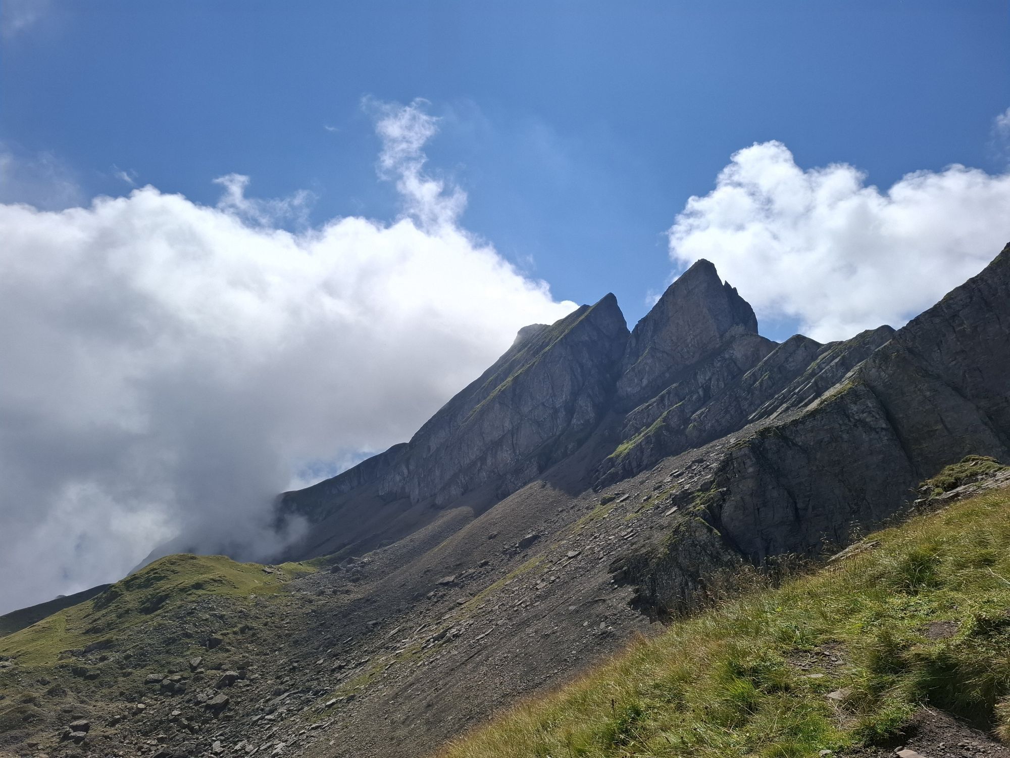
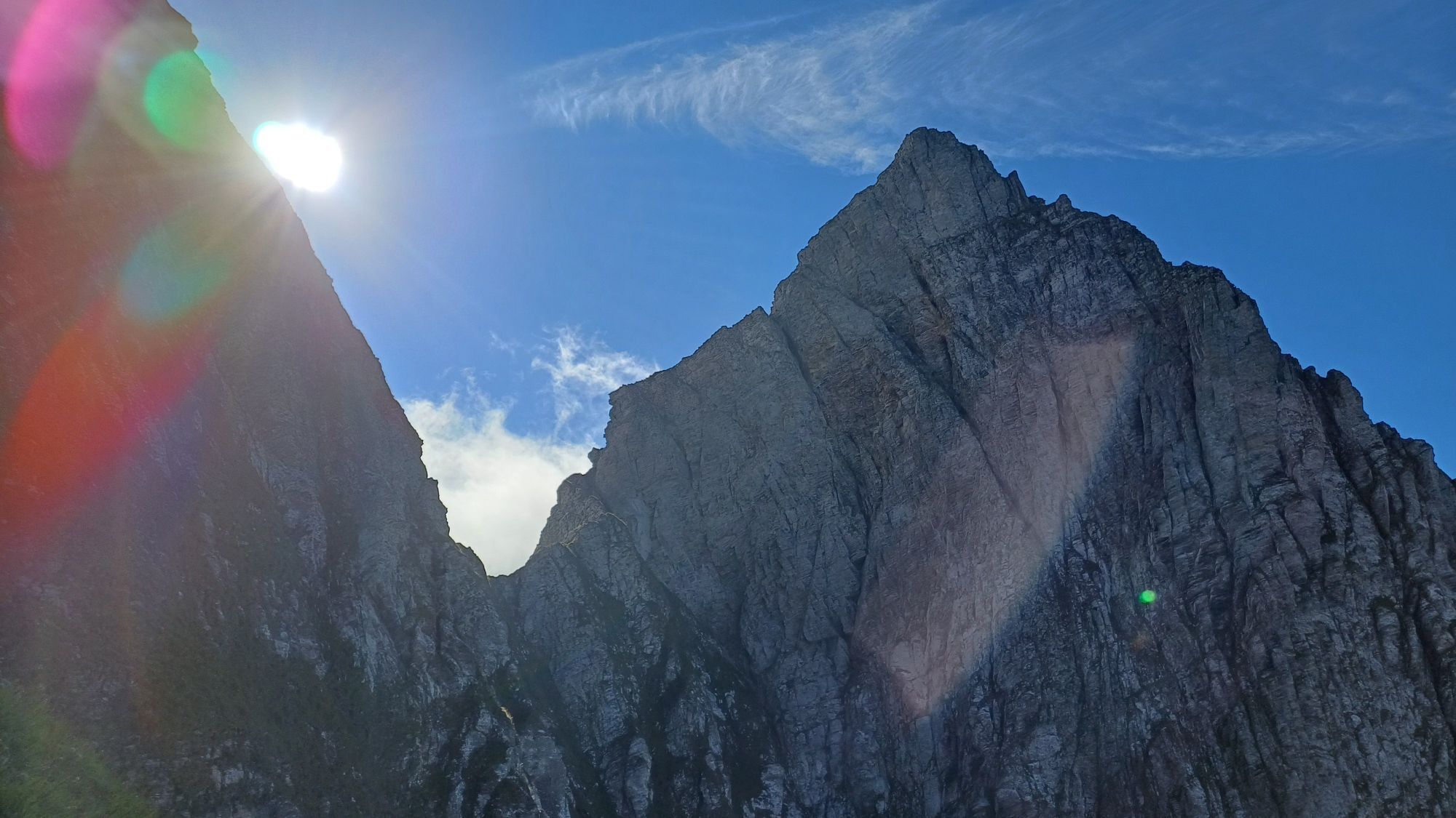
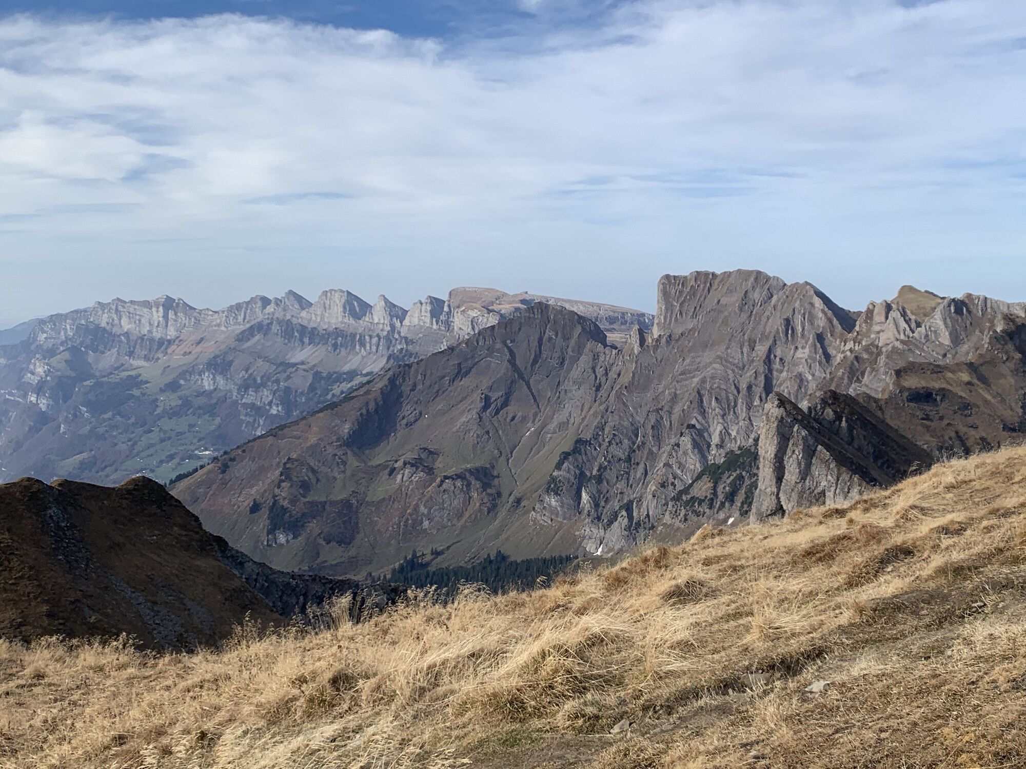
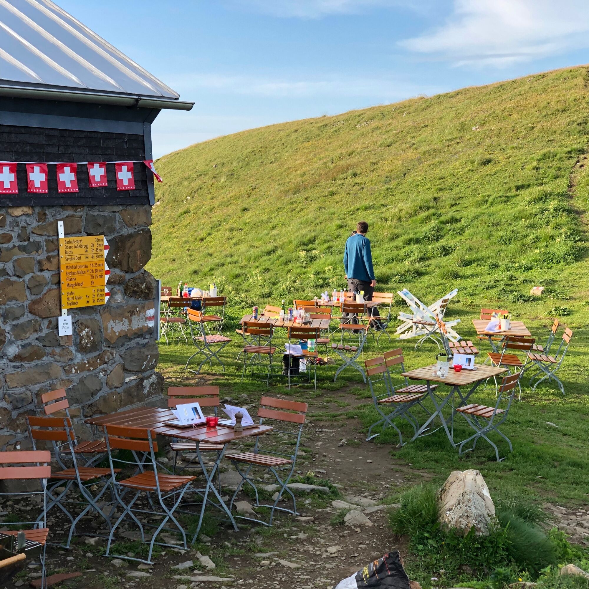
Along the rugged south ridge, which is secured with ropes and chains at difficult points, the path continues to the Alvier hut and the summit plateau of Alvier (2342 m above sea level). The steep ascent is worth it; here we are offered a unique 360° panoramic view. The Walensee, Lake Constance, and the Rhine Valley, the Glarus Alps, the Vorarlberg peaks, and with good visibility, the Tyrolean and Engadine mountains spread out an incredible panorama all around.
Da
Da
Day hiking backpack (approx. 20 liters) with rain cover, sturdy and comfortable footwear, weather-appropriate and durable clothing in multiple layers, if needed telescopic poles, sun and rain protection, provisions and drinking water, first aid kit, pocket knife, mobile phone, if needed headlamp, map material
Ridge hike requiring surefootedness. White-red-white marked mountain paths.
Motorway exit Flums, then on the main road towards Sargans/Mels. The valley station of the Palfries cable car is located in Heiligkreuz on the left side of the road. The Palfries cable car is signposted.
By train to Flums or Sargans, then by bus to the Heiligkreuz Ragnatsch stop. Ride with the Palfries cable car.
Public parking at the valley station of the Palfries cable car available (charged)
Palfries cable car
+41 81 599 43 79
(Reservation required)
Heidiland Tourism, Bad Ragaz information office
+41 81 300 40 20
It is worth waiting for the sunset at the Alvier summit and then spending the night in the Alvier hut - an unforgettable beautiful nature experience!


Spletne kamere s turneje



Priljubljeni izleti v okolici
-
3.8
Fürstin-Gina-Weg
Pohodništvo 10.7 km -
4.7
Riviera Lake Walen Walenstadt-Quinten
srednjaPohodništvo 10.4 km -
4.5
To the summit cross of the Alpspitz
srednjaPohodništvo 6.02 km -
3.8
Sassweg - von Malbun zum Sass-Seelein
Pohodništvo 4.14 km -
4.5
7-Peak Tour Flumserberg
težkoPohodništvo 15.0 km -
4.7
5-Seen Wanderung am Pizol
svetlobaPohodništvo 10.1 km -
4.9
From Malbun to the Schönberg
srednjaPohodništvo 12.4 km -
4.9
Alpine and Cultural Trail Schrina
srednjaTematska pot 11.5 km -
4.5
4-Summit-Route Flumserberg
srednjaPohodništvo 8.65 km -
4.7
Off to the Falknis
težkoPohodništvo 18.2 km

Pohodništvo in sledenje


Ne zamudite ponudb in navdiha za naslednje počitnice
Vaš e-poštni naslov je bil dodan na poštni seznam.





