







E-Bike Alp Tschingla

Stopnja težavnosti: 3
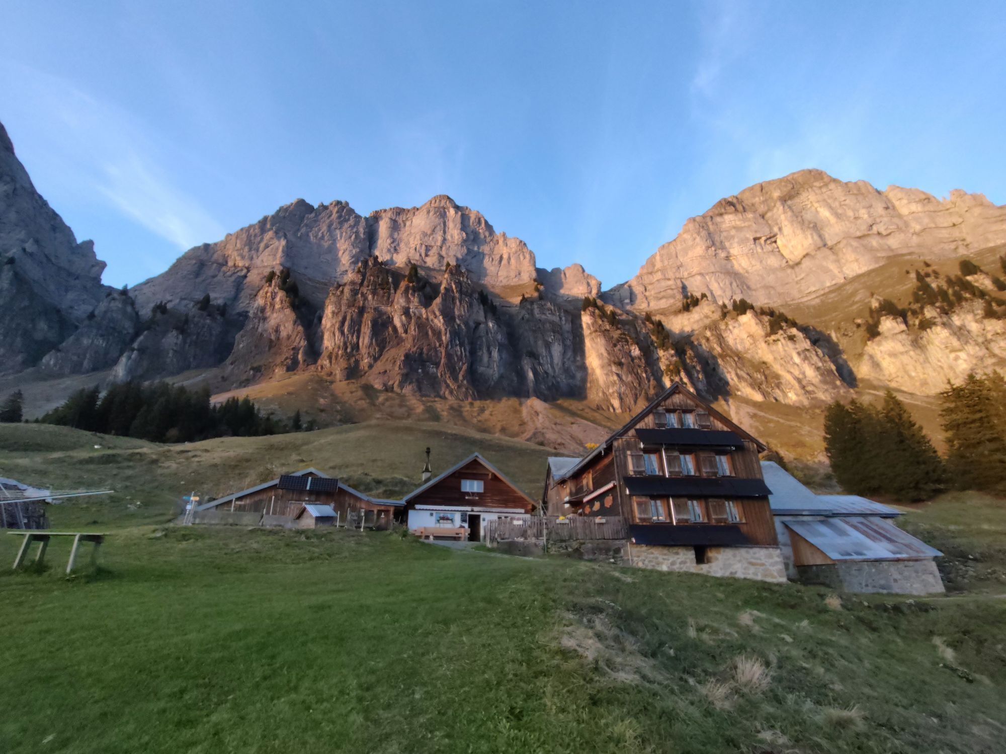
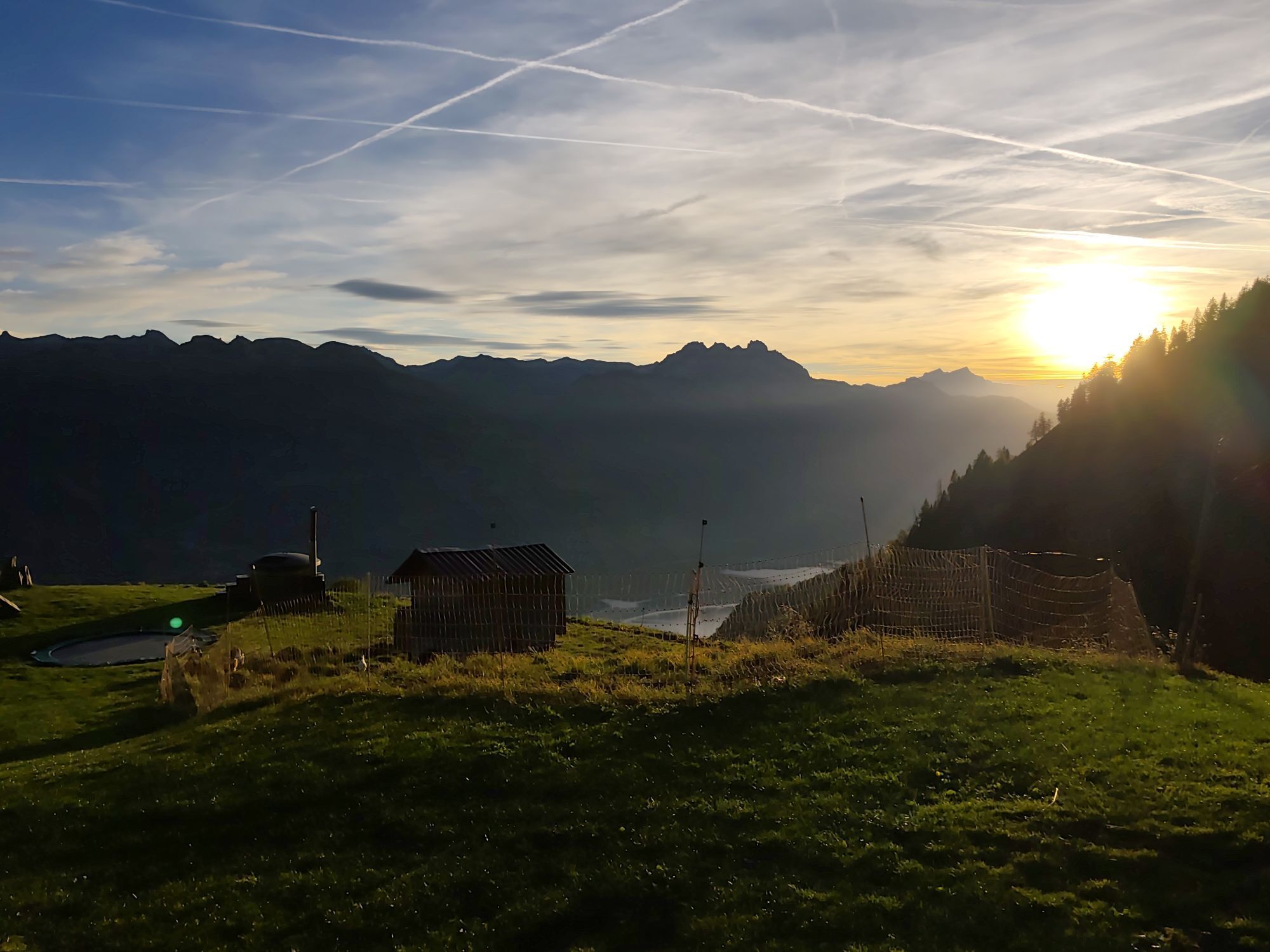
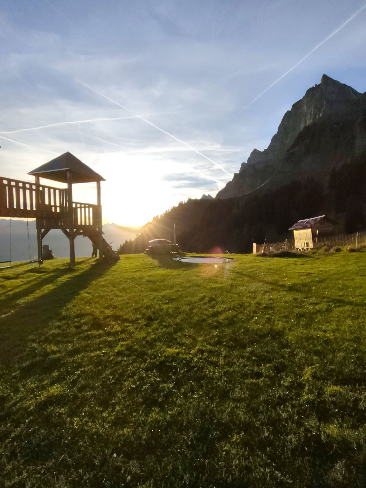
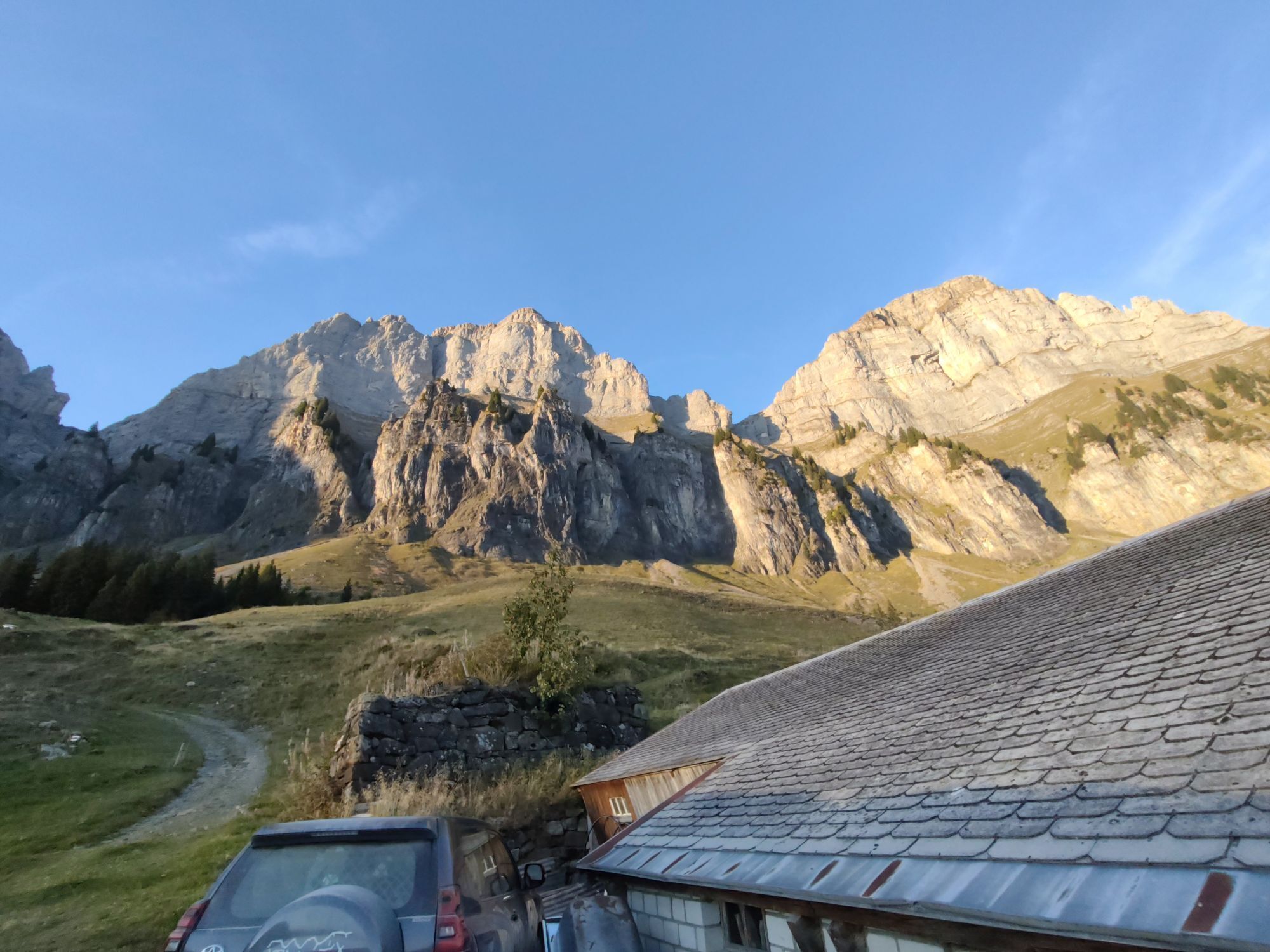
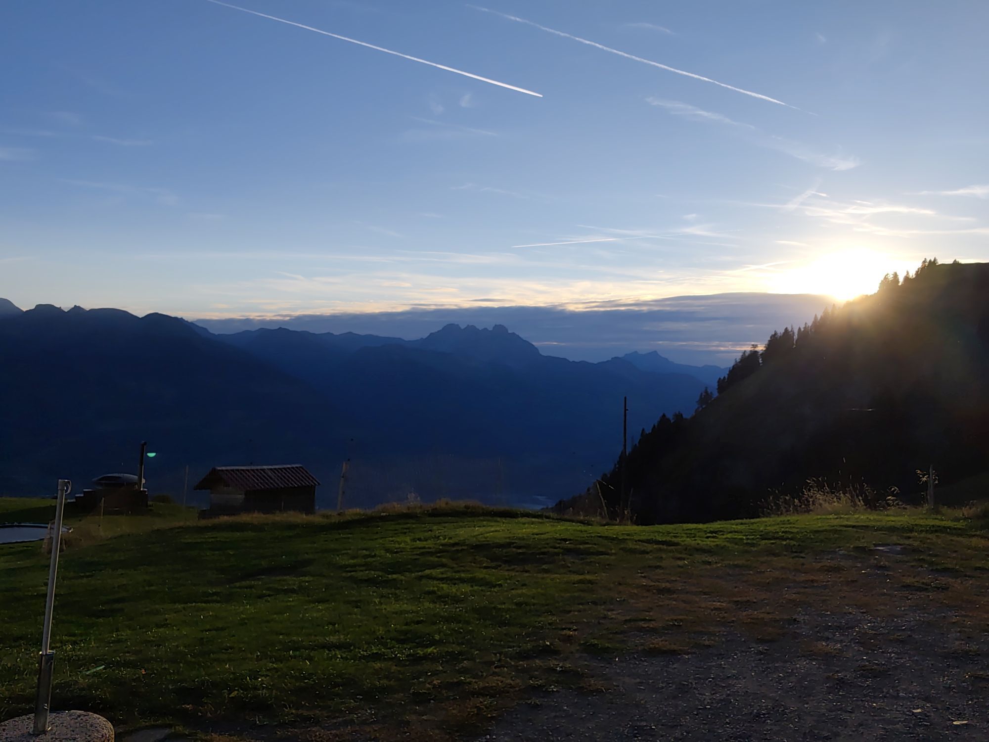
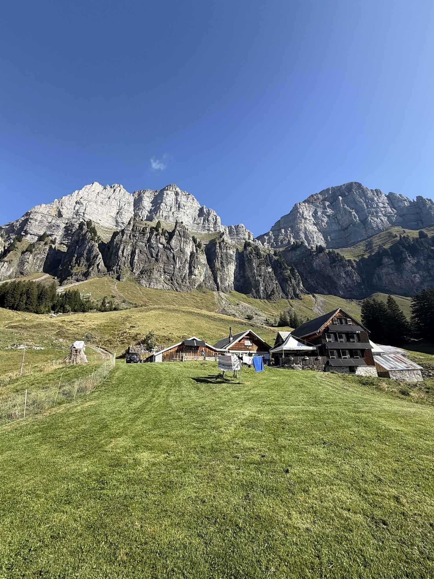
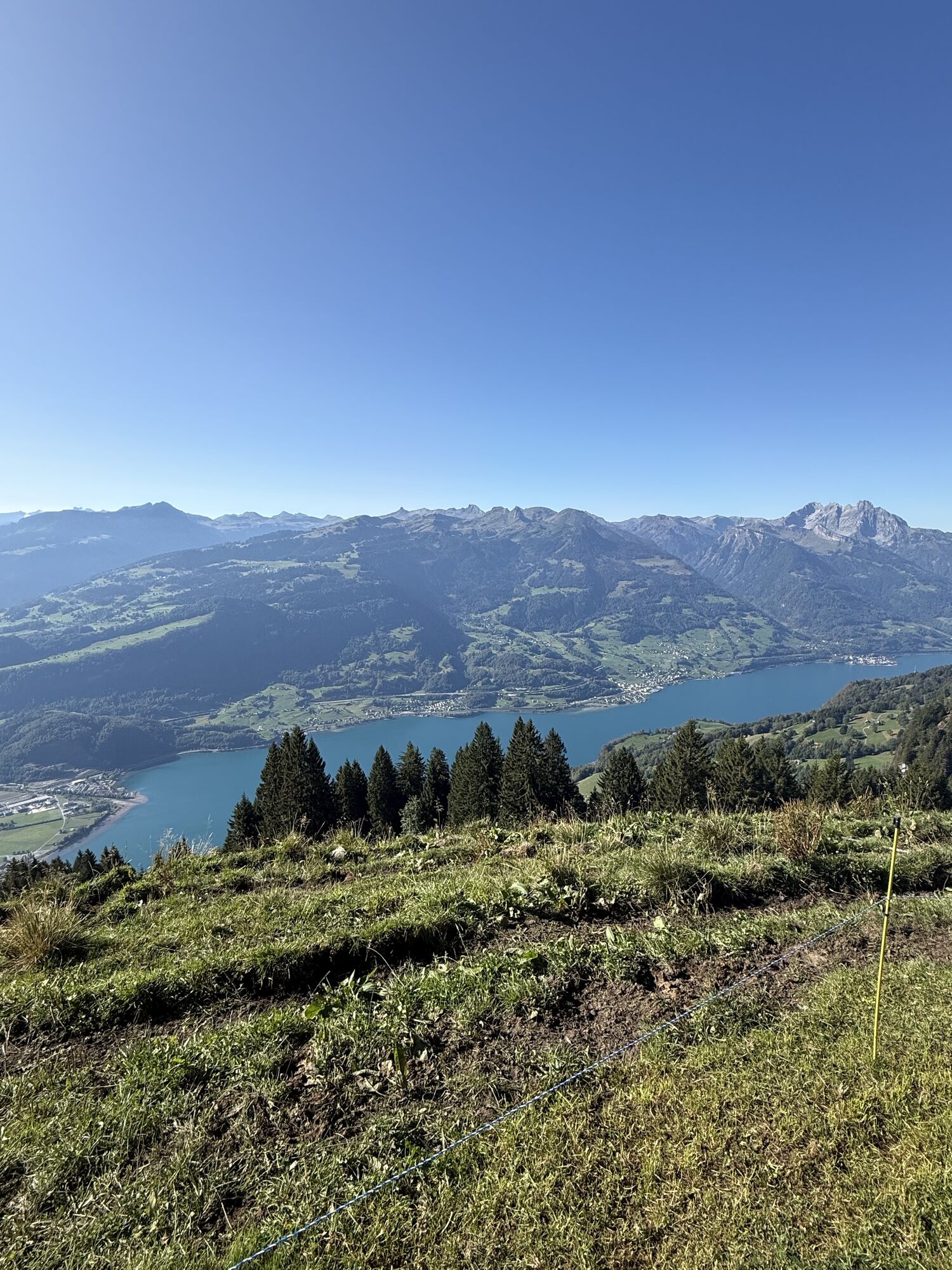
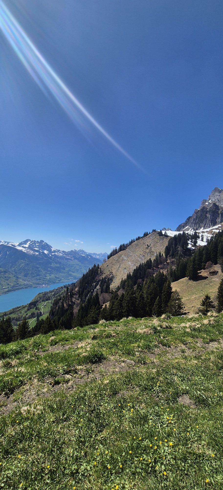
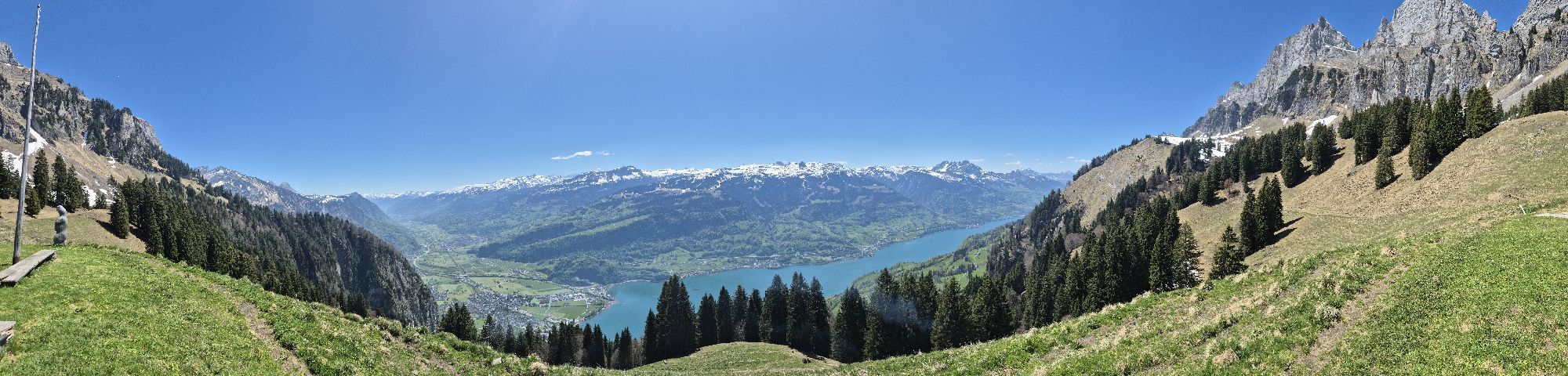
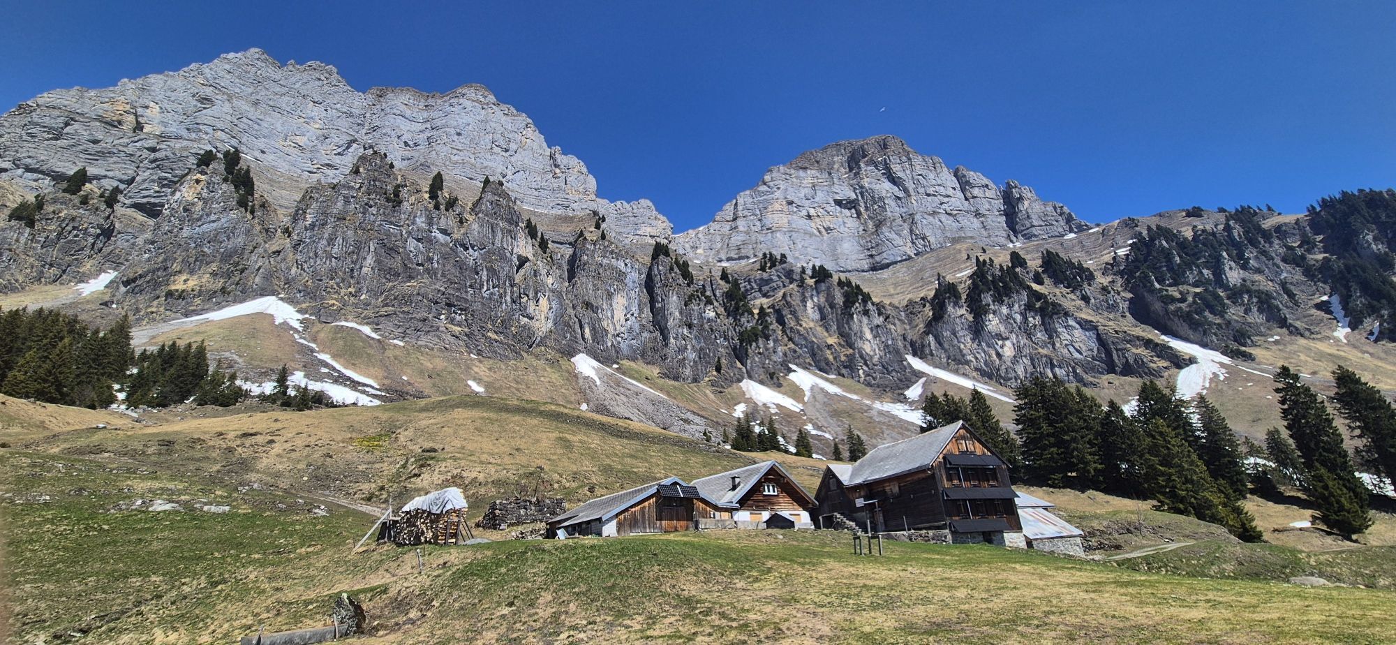
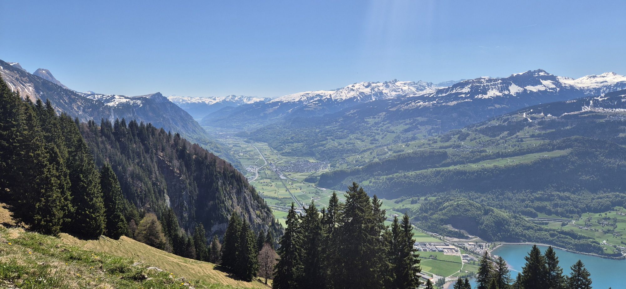
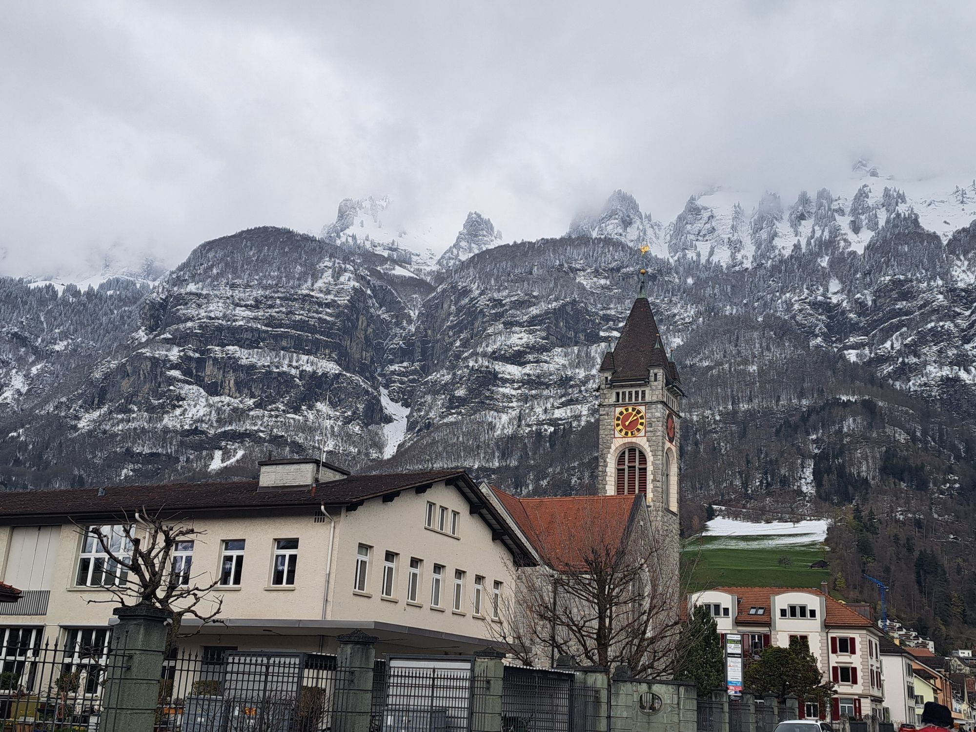
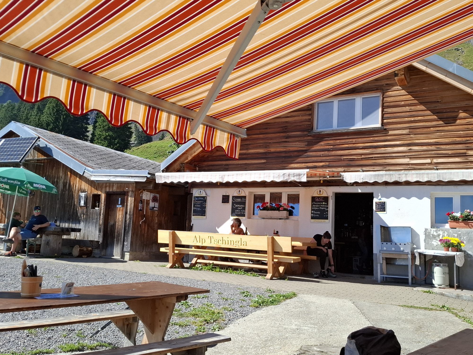
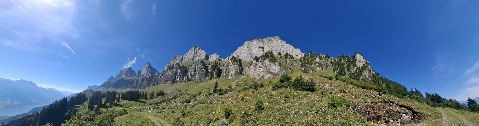
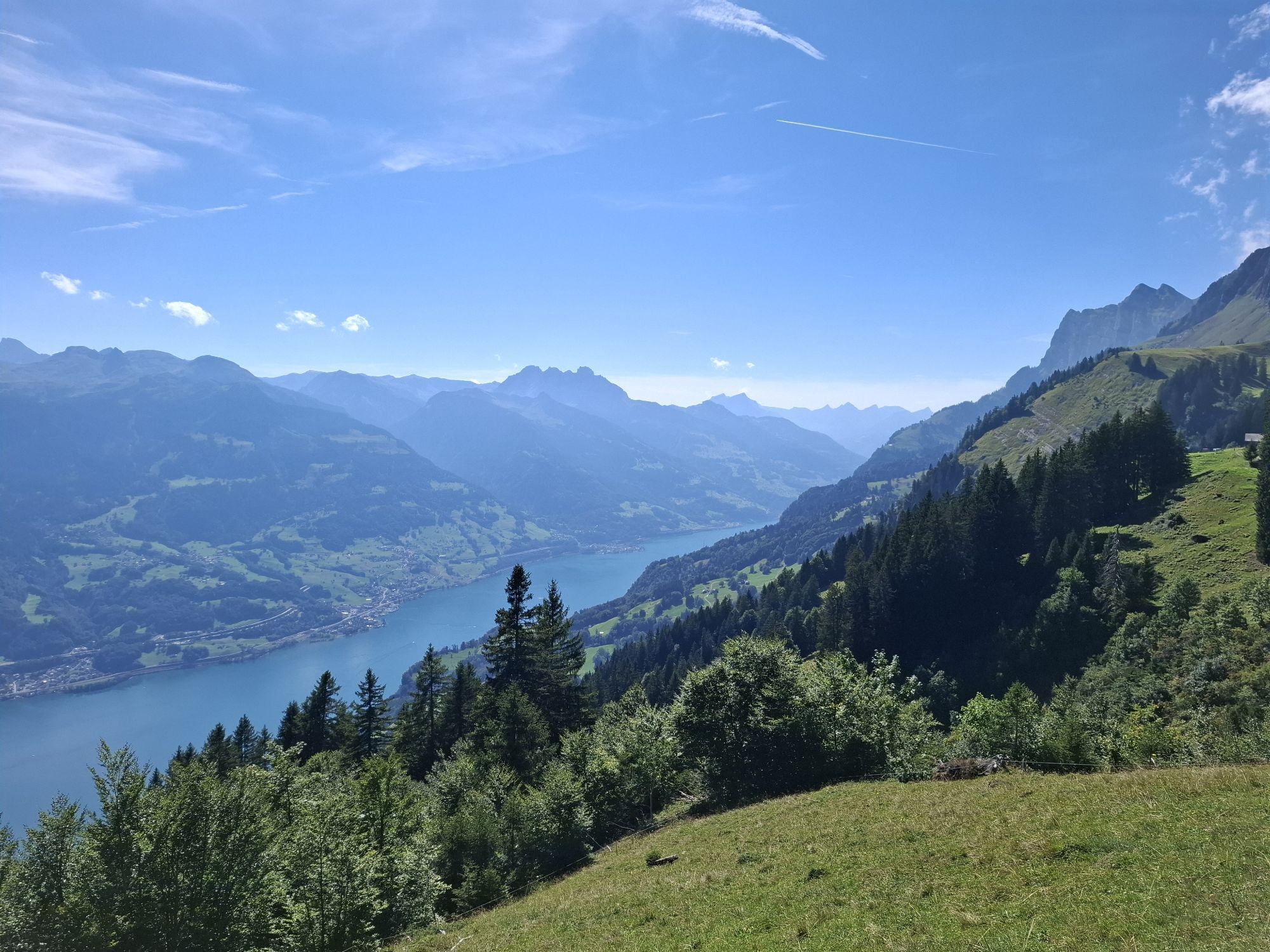
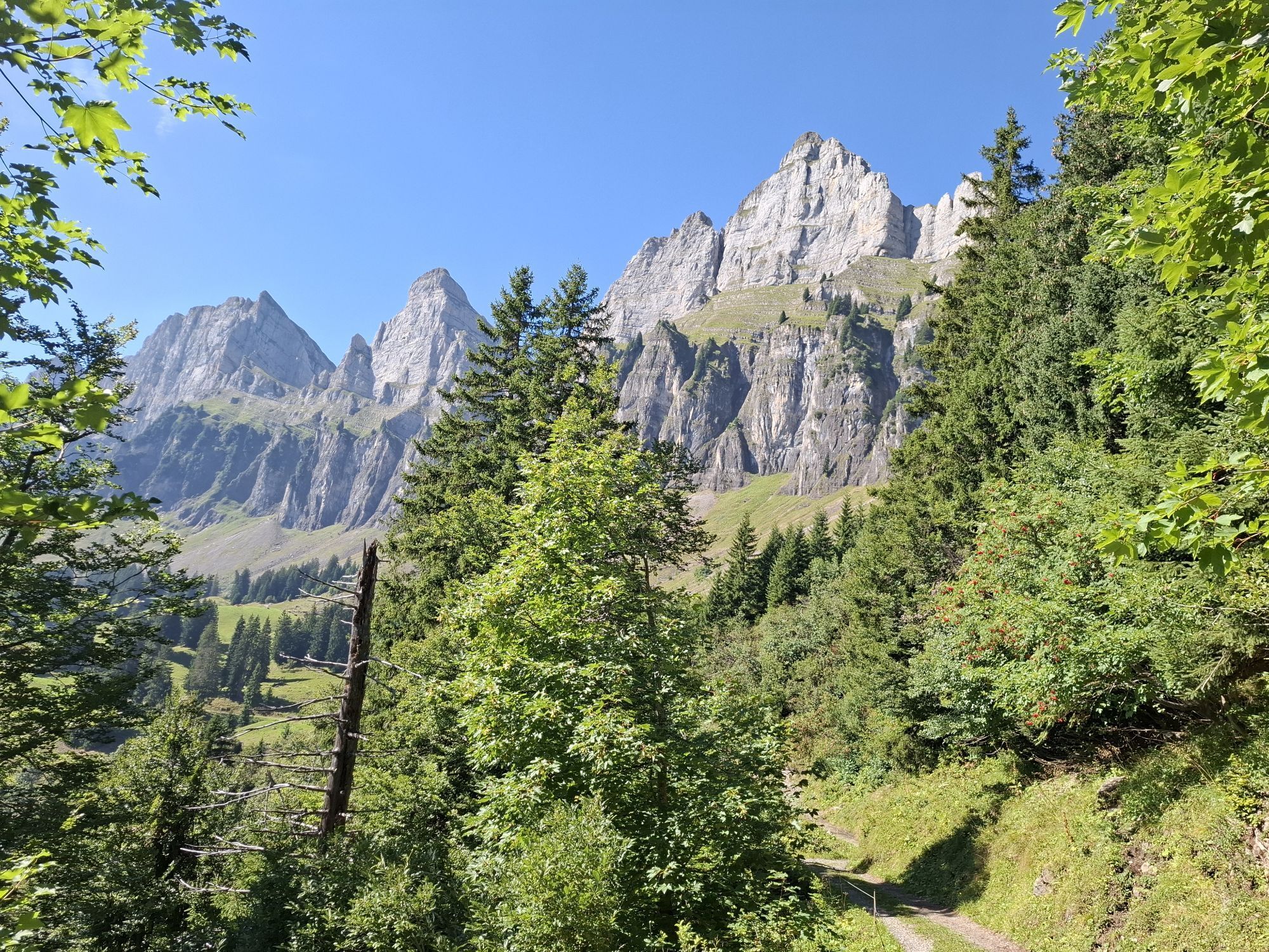
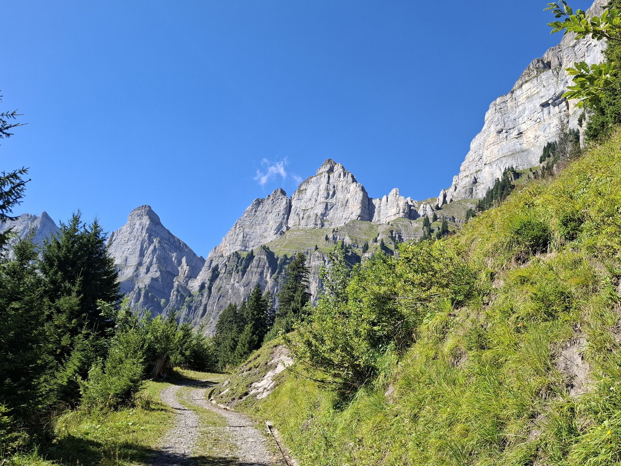
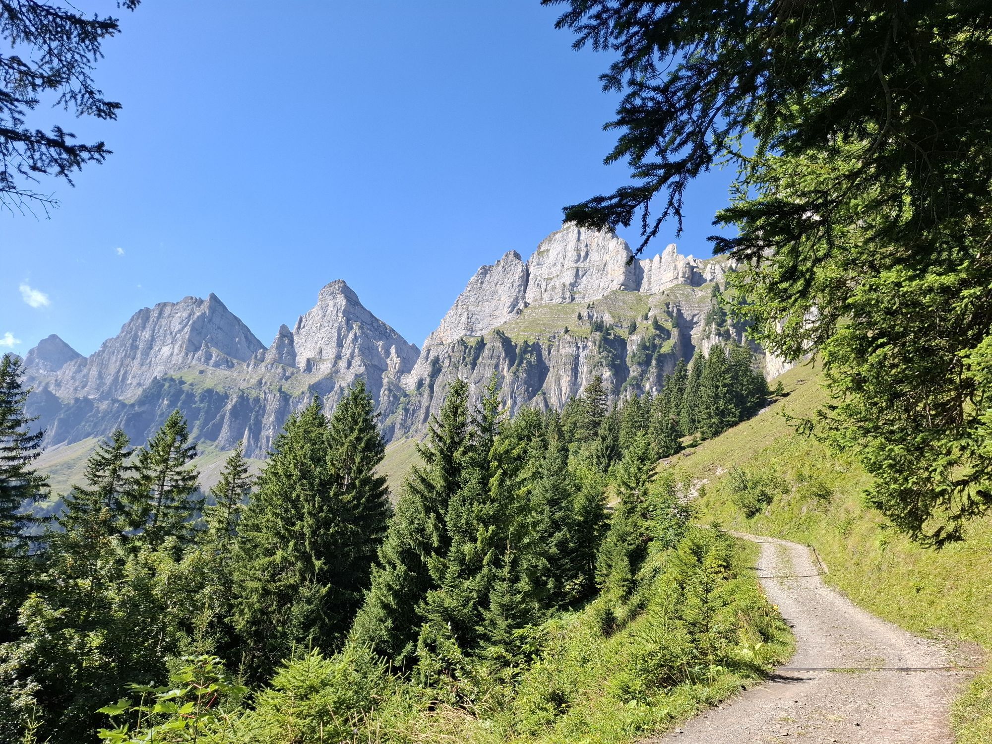
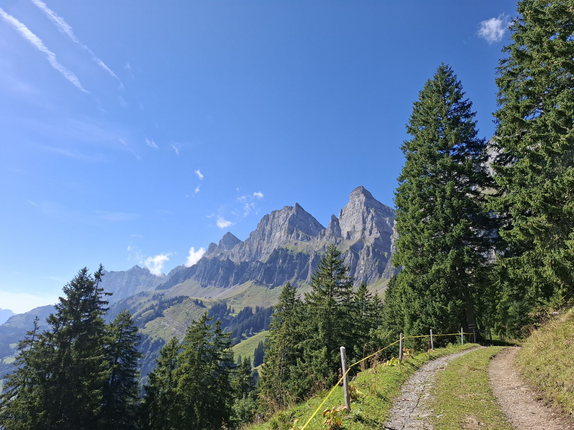
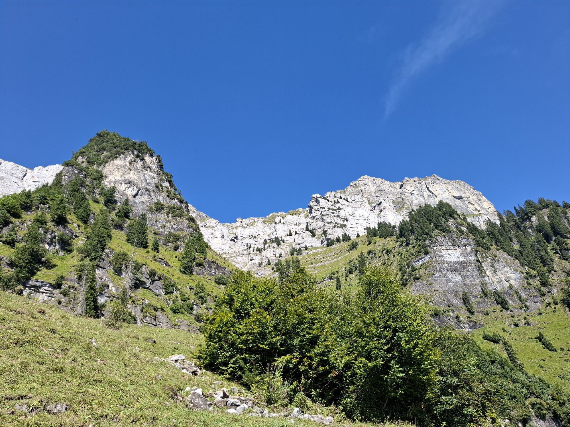
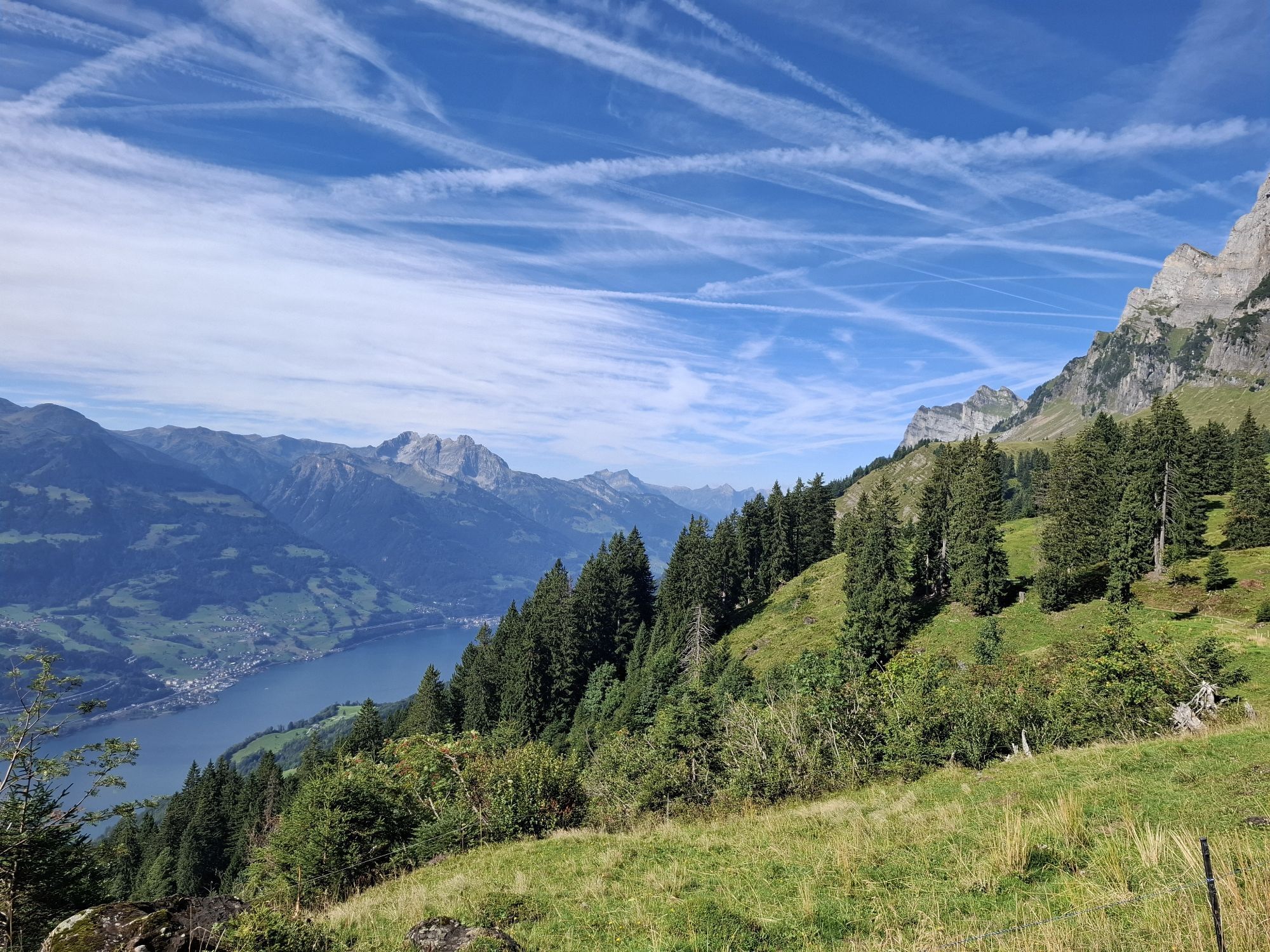
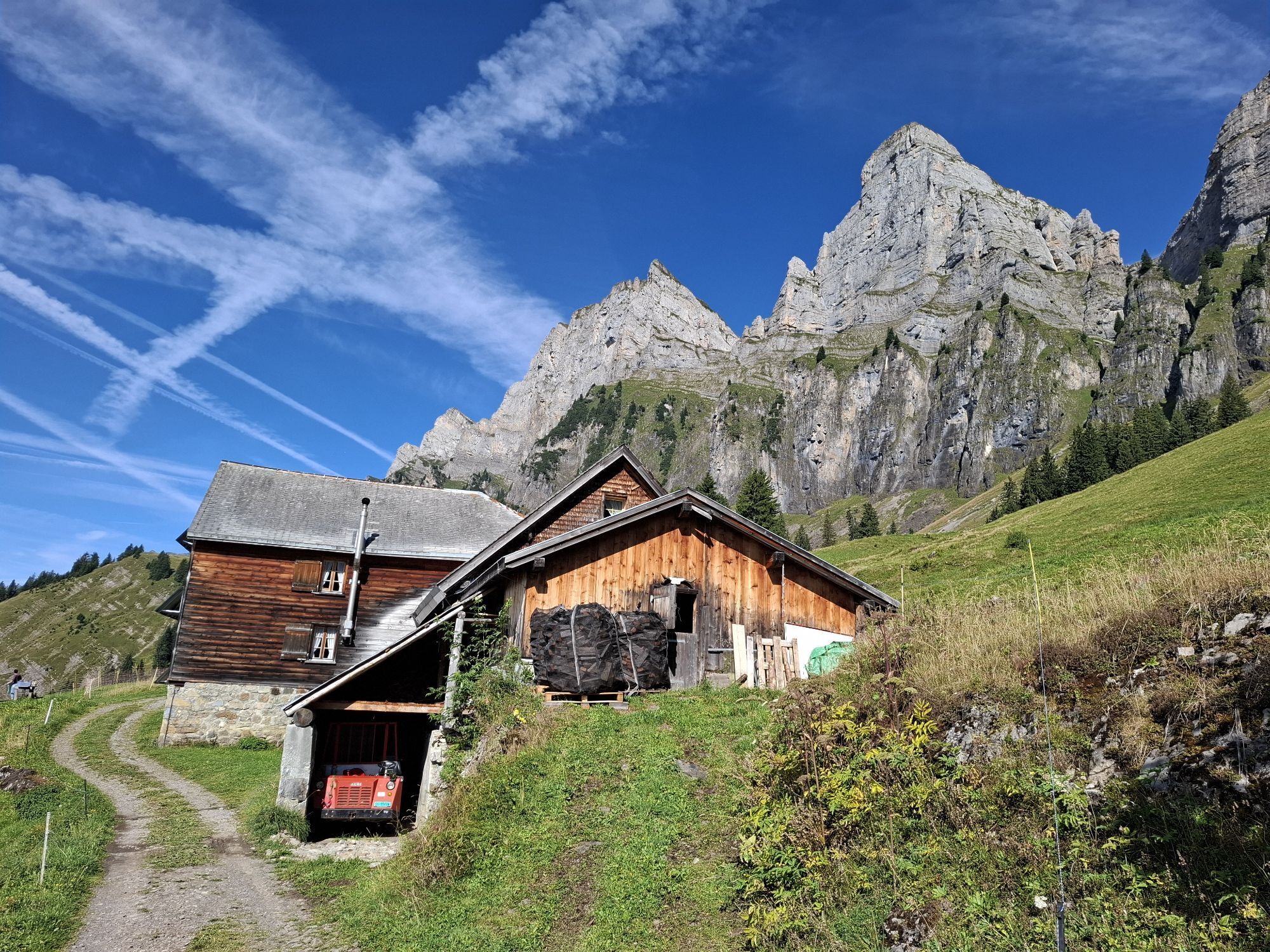
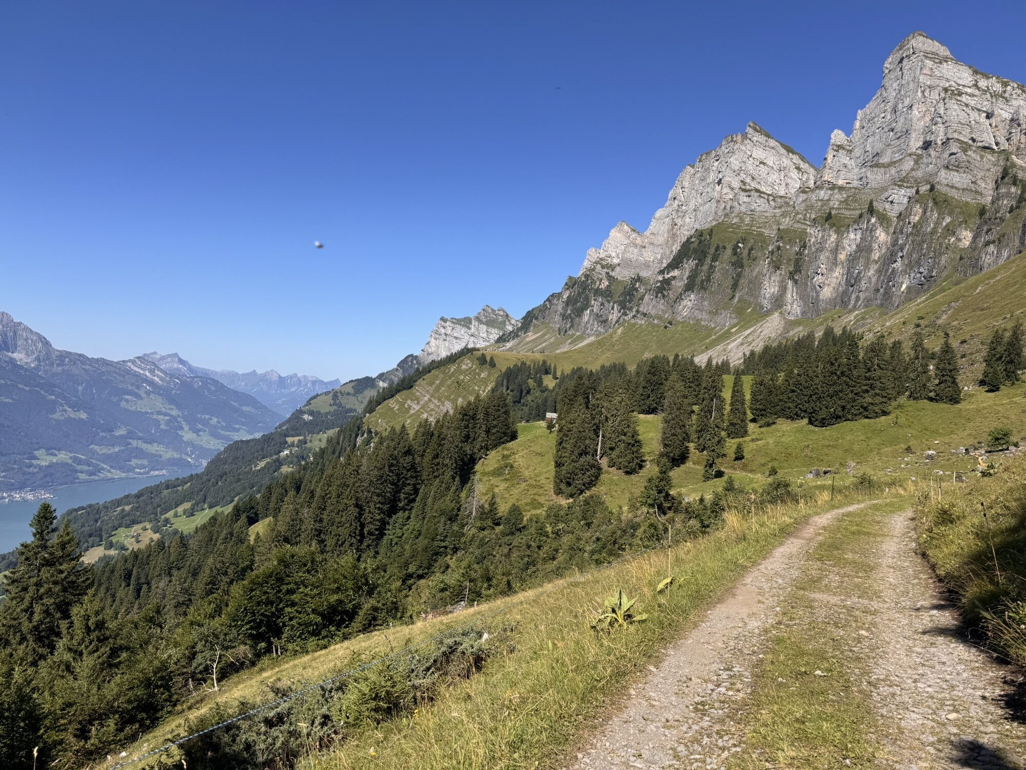
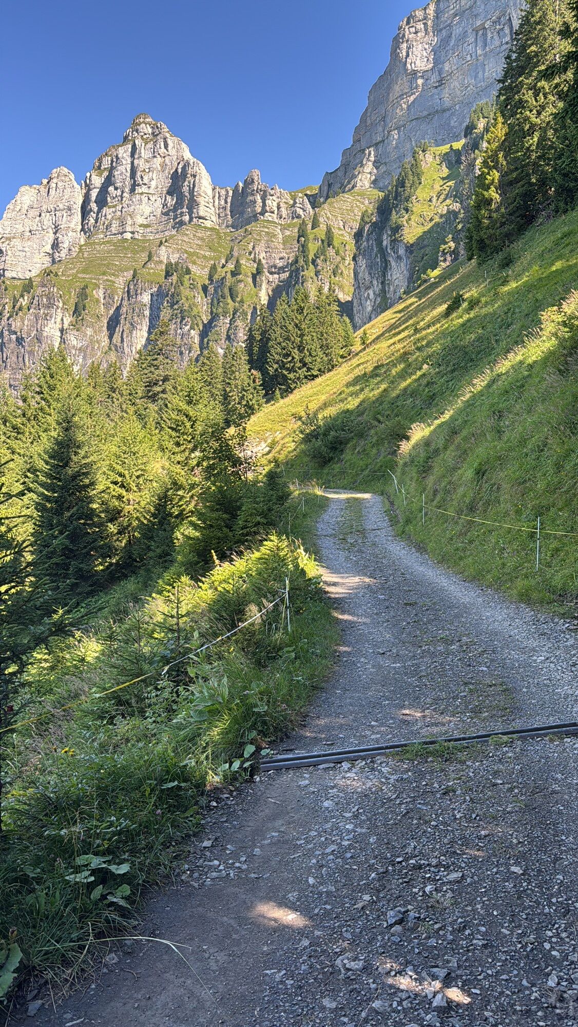
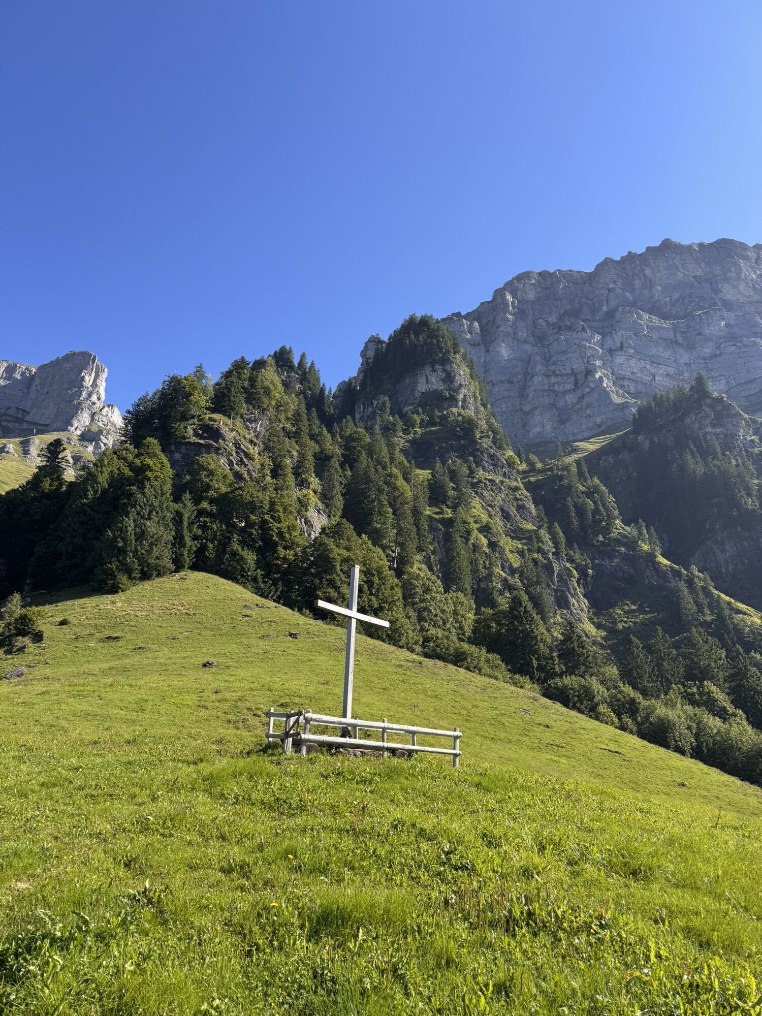
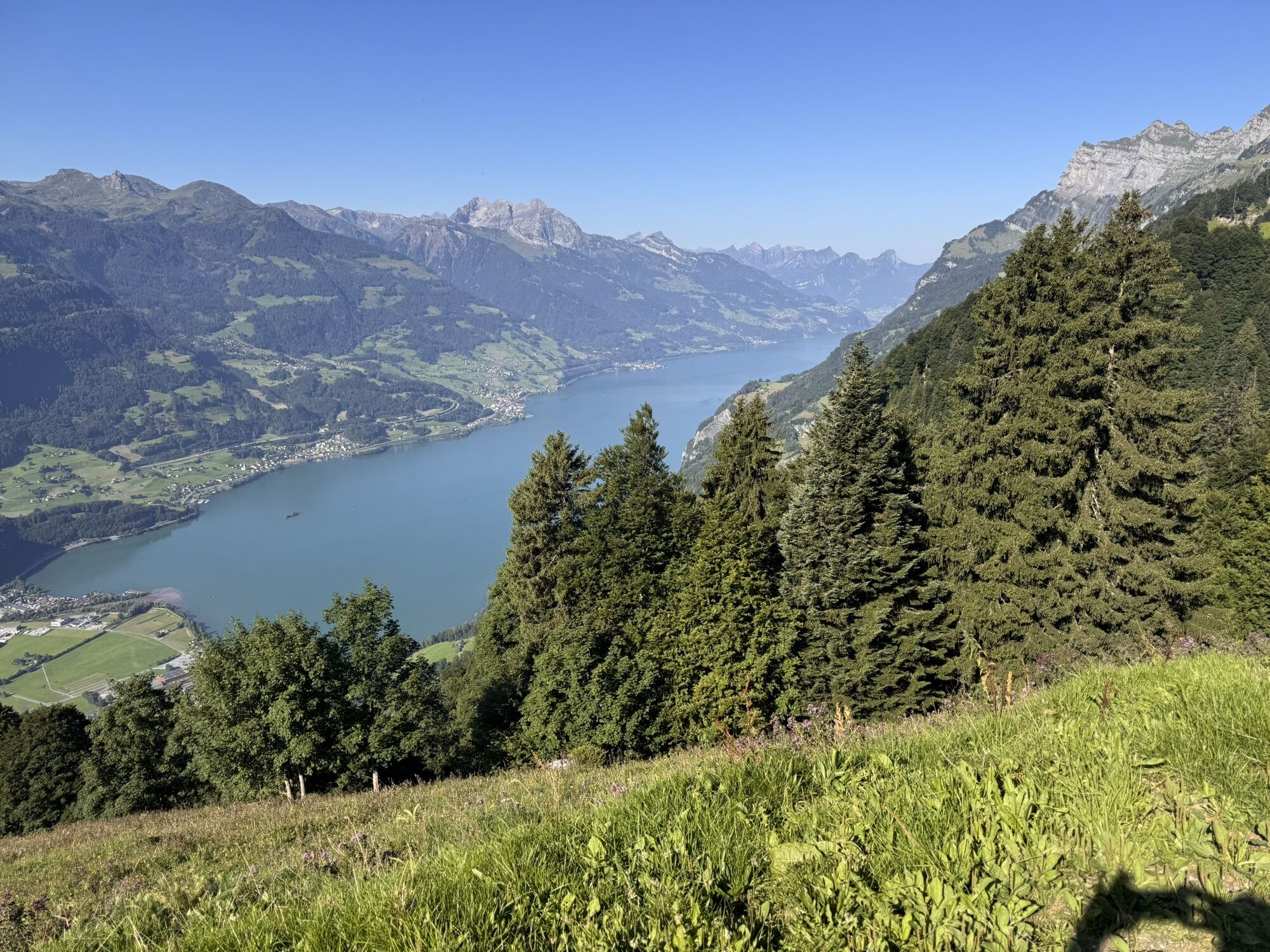
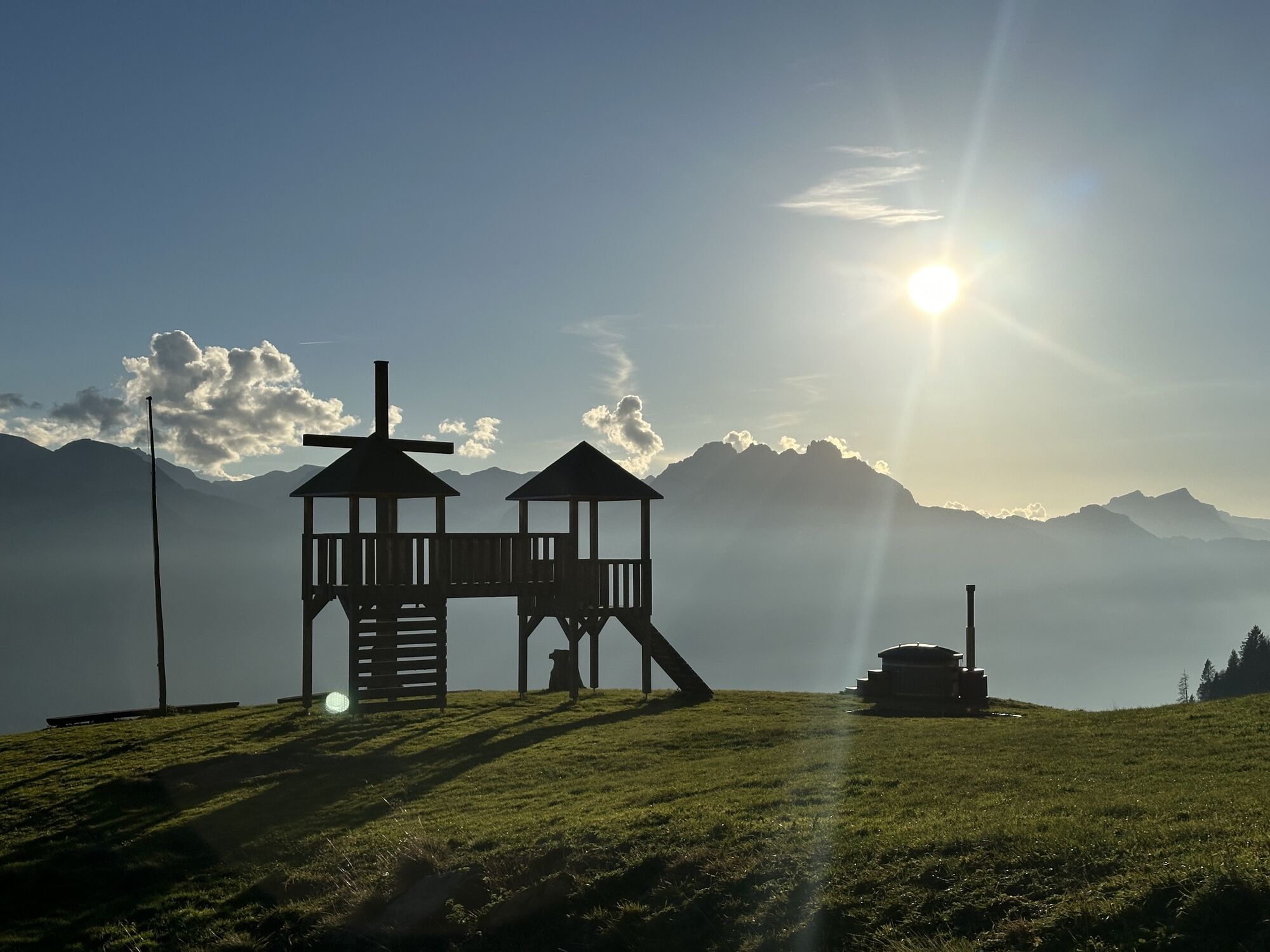
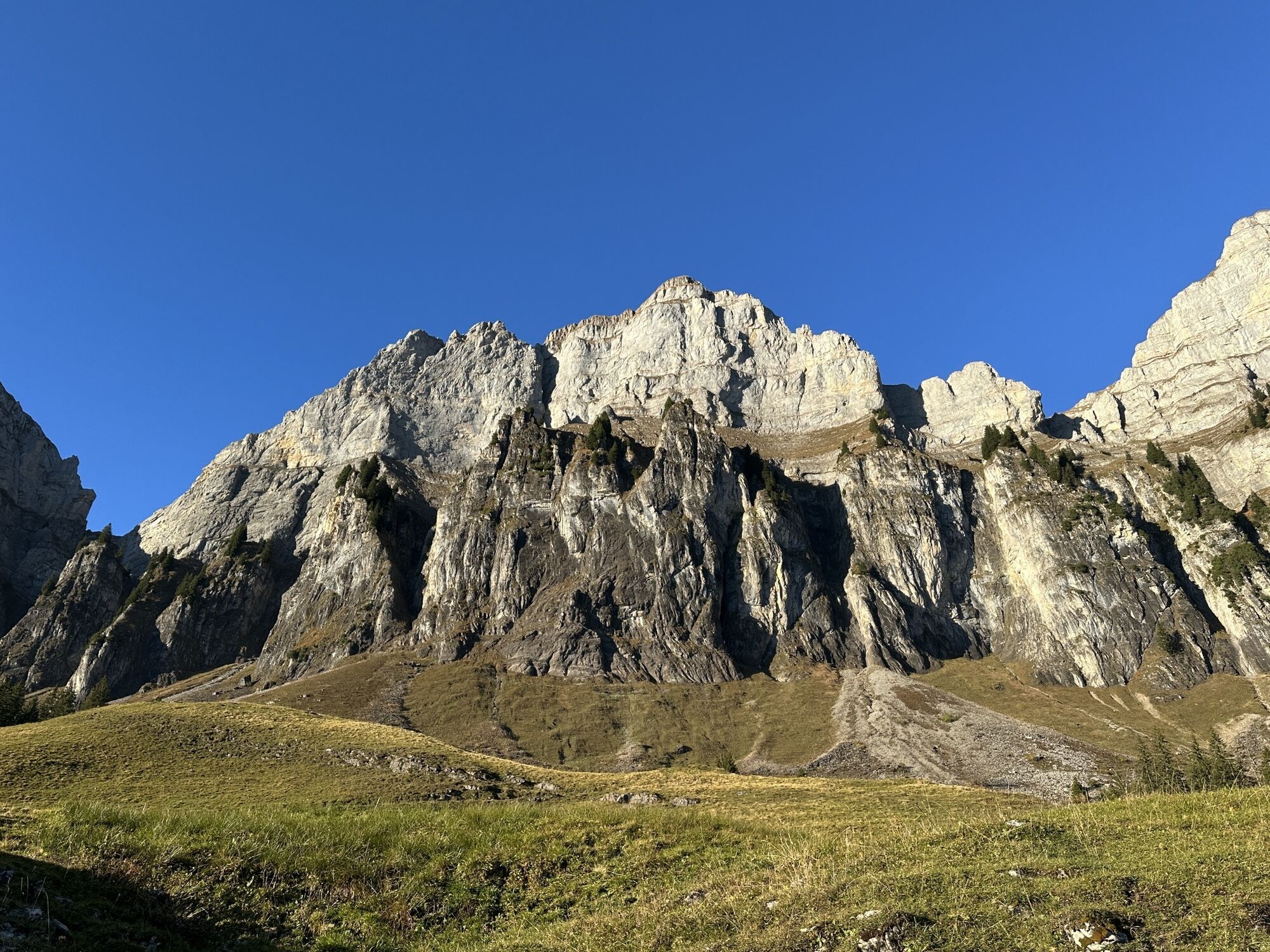
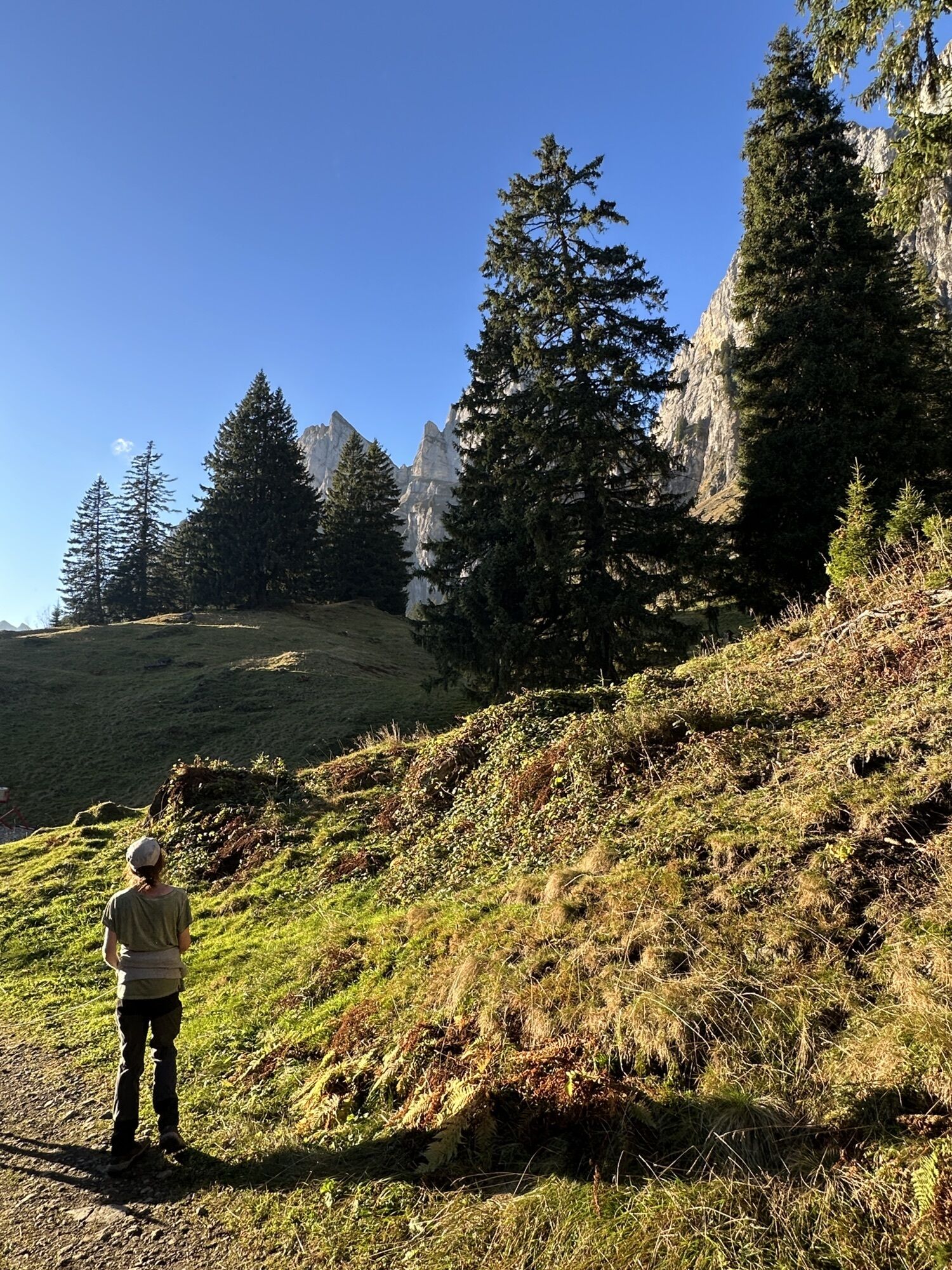
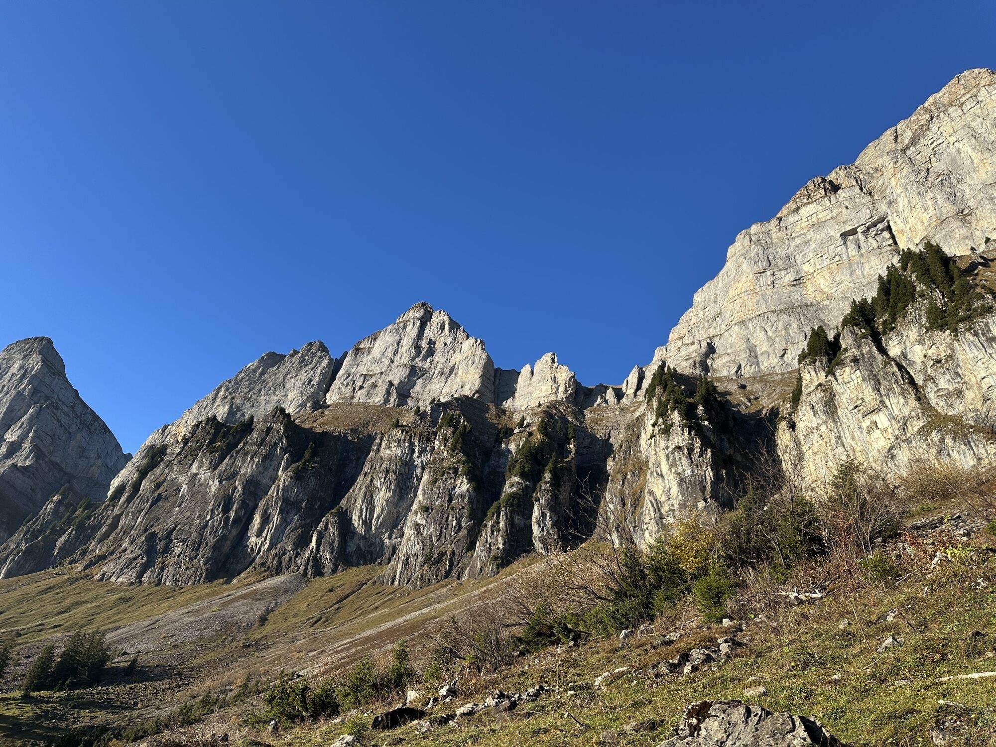
The route practically begins at the station of Walenstadt. First, you ride leisurely through the historic town. After a gentle warm-up, the ascent begins. The path leads past alpine huts and through forests....
The route practically begins at the station of Walenstadt. First, you ride leisurely through the historic town. After a gentle warm-up, the ascent begins. The path leads past alpine huts and through forests. Along the way, you can ring the bell at Glockenrank.
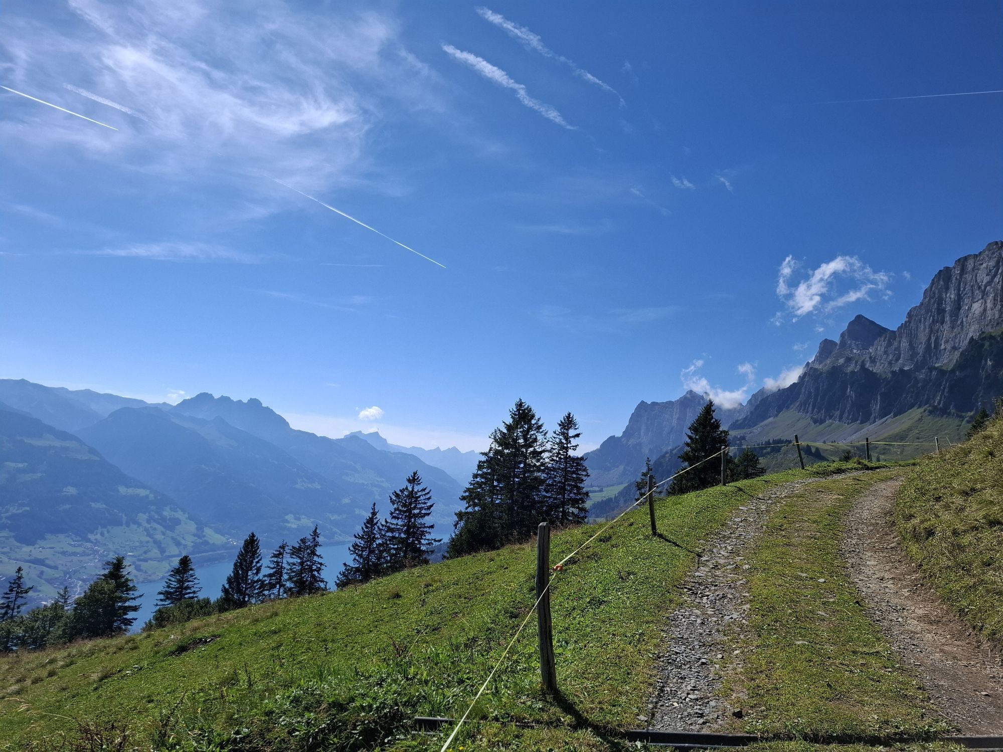
After a short break, continue through the landscape, past magnificent views, to the curve "Bim Heiligen." Here an unpaved road leads over Vorder- and Hinterbüls to our destination, Alp Tschingla.
The alp is managed and is excellent for a break and to enjoy the wonderful view. Let the spectacular mountain panorama take effect and regain strength before descending the same way back to the valley.

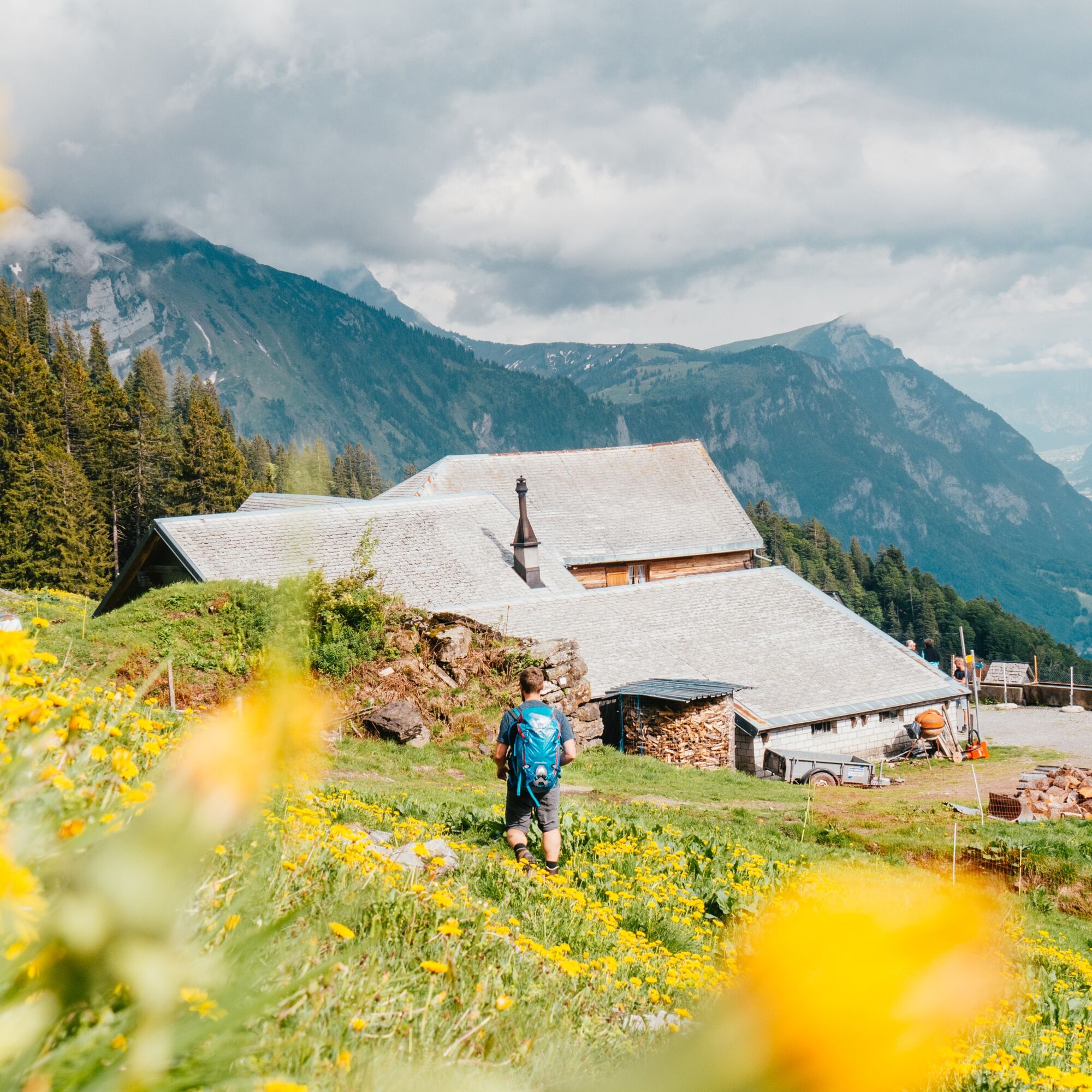
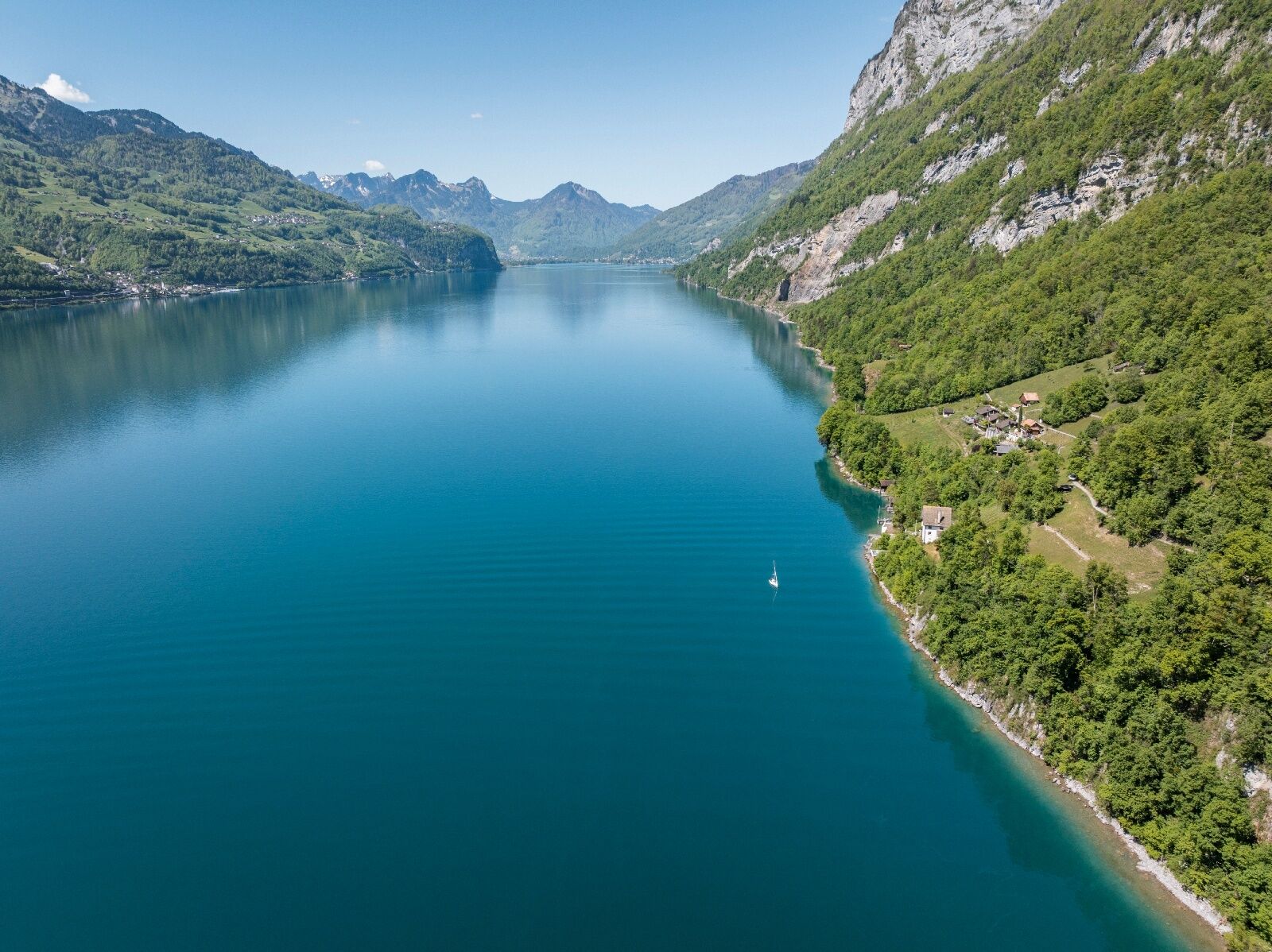
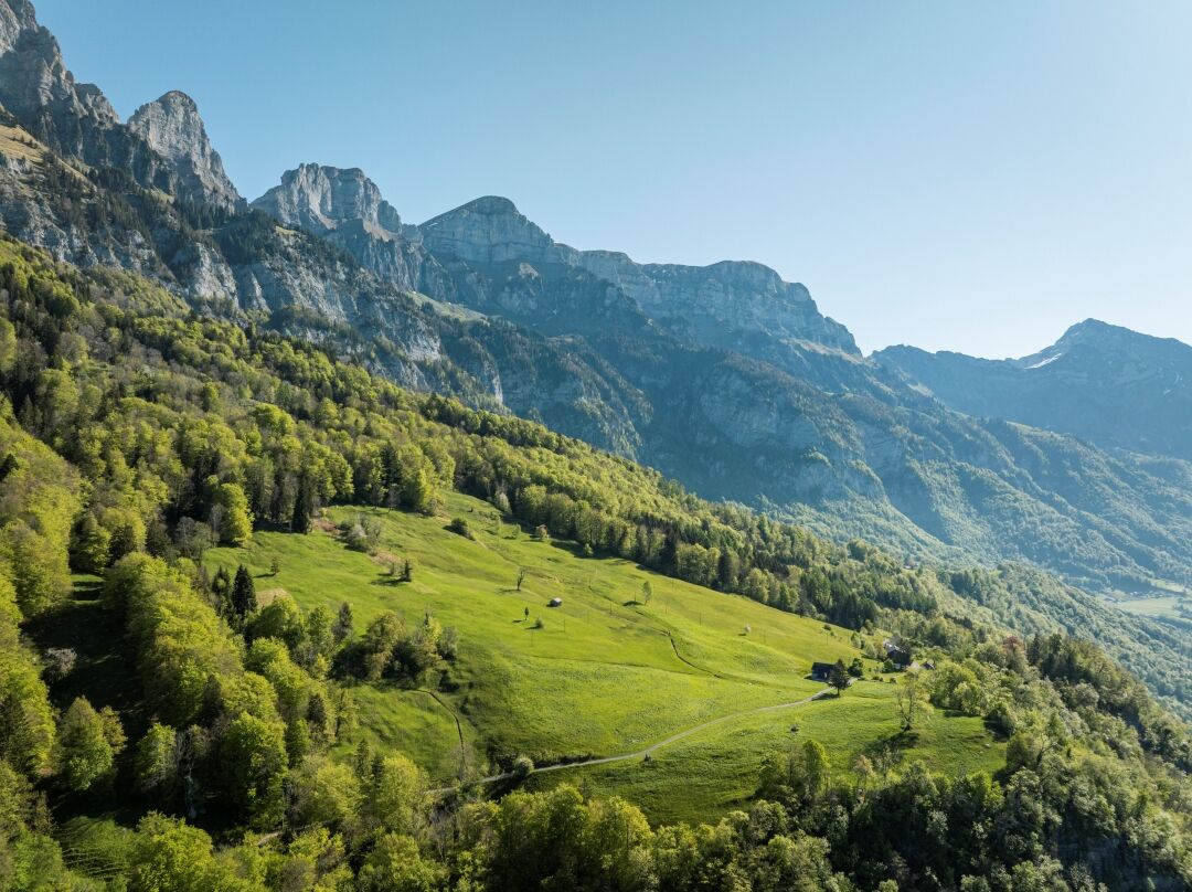
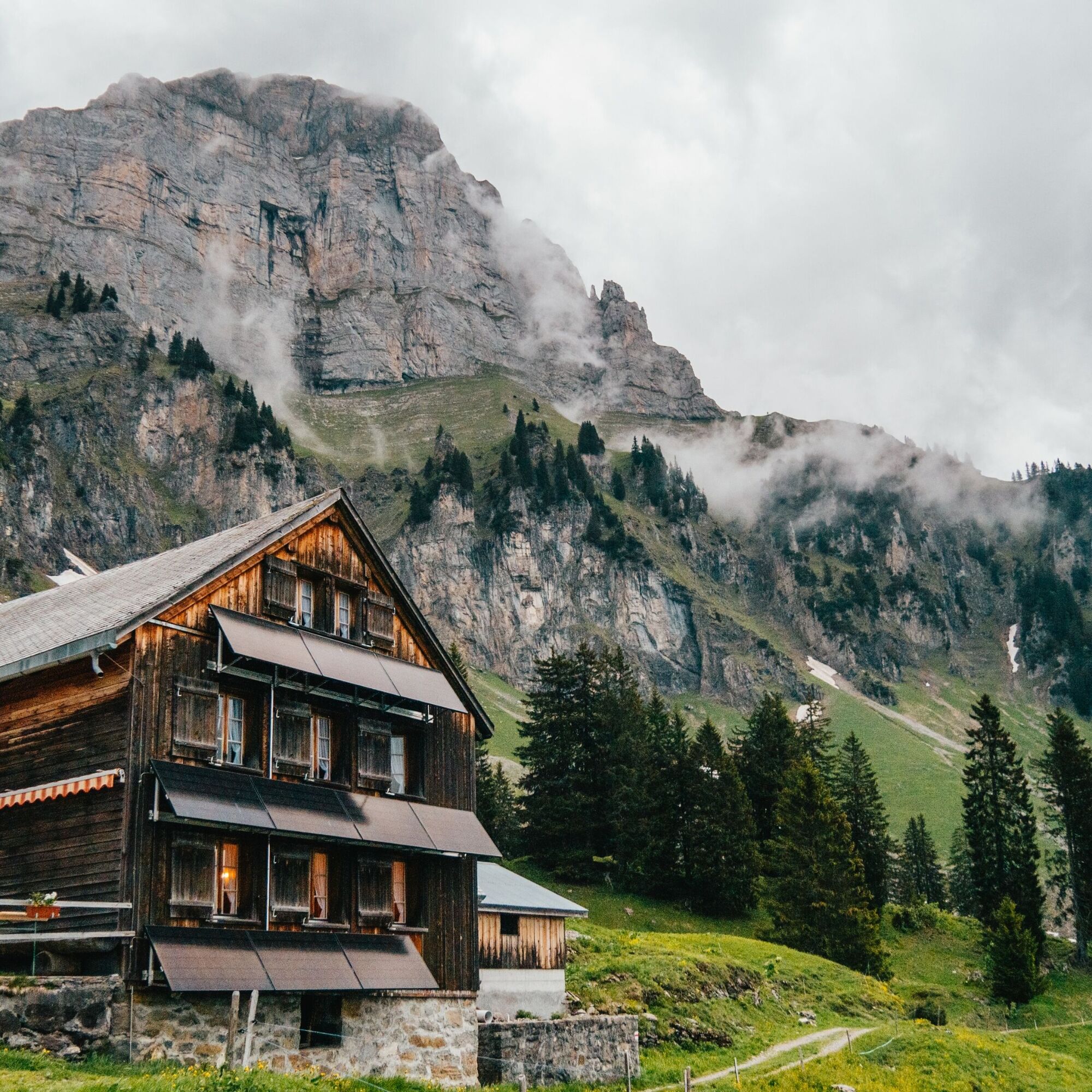
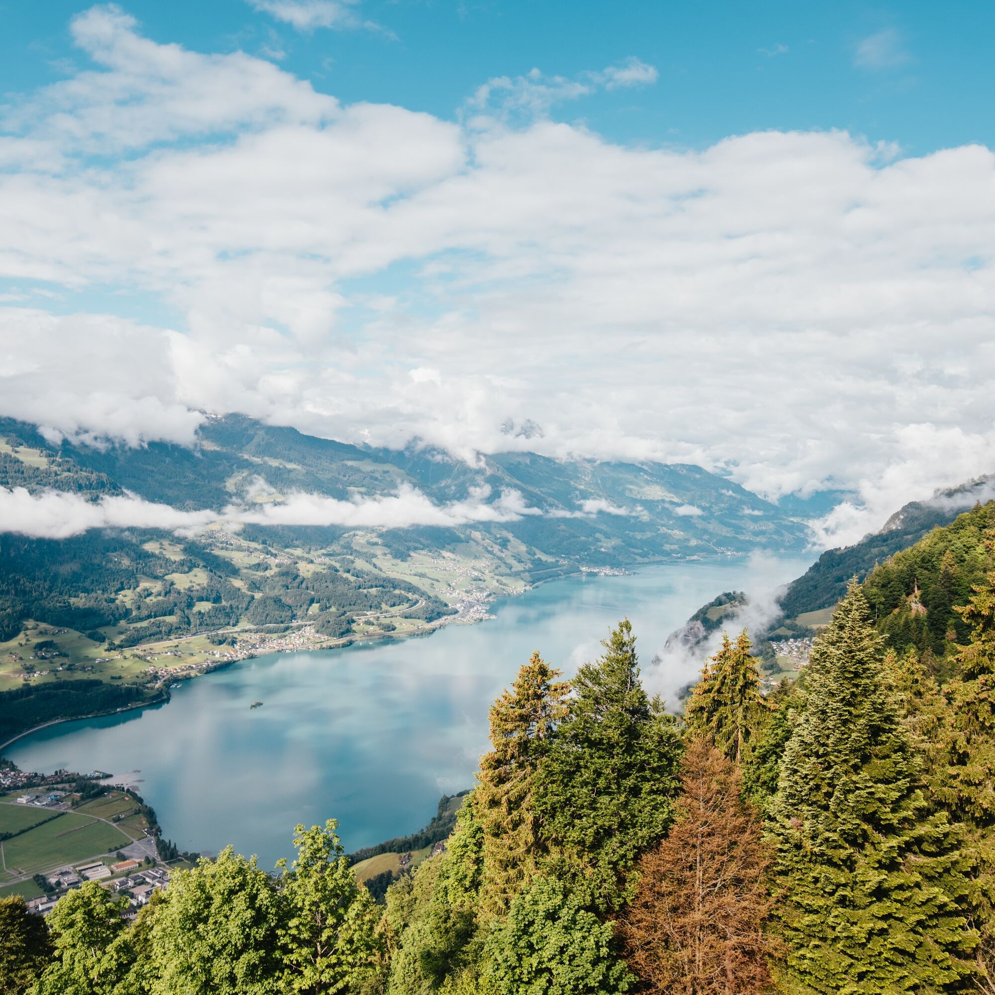

Start at the station in Walenstadt. Follow the SchweizMobil bike route 9 Lake Route until you are outside the village center. Then turn left onto Zihlgasse and shortly after turn right onto Dorfhaldenstrasse. Now the climb begins. Follow the road to the next distinctive intersection. Turn left there onto Lüsisstrasse and follow it to the curve "Bim Heiligen." Turn left there and follow the unpaved road over Vorder- and Hinterbüls to Alp Tschingla. The descent is on the same route.
Normal bike equipment. Functional clothing is an advantage as a long descent follows a longer climb.
Ride with foresight and behave respectfully towards other recreation seekers and road users.
Walenstadt is about an hour's drive from St. Gallen and Zurich and 45 minutes from Feldkirch. Use the Flums motorway exit if you come from the Sarganserland; if you come from Lake Walen, take the Walenstadt motorway exit and follow the signs.
You can reach Walenstadt by public transport in just over an hour from St. Gallen and Zurich.
There is a suitable parking lot at Walenstadt station.
3
Heidiland Tourism
Information office Flumserberg
T +41 81 720 18 18
www.heidiland.com
In the village center of Walenstadt, you will find various shops to buy provisions.
Spletne kamere s turneje

Priljubljeni izleti v okolici
-
4.8
Walensee Riviera Weesen - Quinten
srednjaPohodništvo 10.2 km -
4.7
Riviera Lake Walen Walenstadt-Quinten
srednjaPohodništvo 10.4 km -
4.6
Weesen - Quinten - Walenstadt
težkoPohodništvo 20.6 km -
5.0
Staubern-Runde (15.8.2021)
srednjaPohodništvo 8.65 km -
4.9
Säntis-Gipfeltour, Wasserauen / Appenzell Innerrhoden
težkoPohodništvo 21.1 km -
4.8
Tour Brülisau - Saxerlücke - Hoherkasten⛰
težkoPohodništvo 16.6 km -
4.6
Säntis
srednjaGorski pohodništvo 17.5 km -
4.5
7-Peak Tour Flumserberg
težkoPohodništvo 15.0 km -
4.6
Alvier
srednjaPohodništvo 3.33 km -
4.9
Alpine and Cultural Trail Schrina
srednjaTematska pot 11.5 km
Pohodništvo in sledenje


Ne zamudite ponudb in navdiha za naslednje počitnice
Vaš e-poštni naslov je bil dodan na poštni seznam.





