







Lake Walen Bike No. 476
Stopnja težavnosti: S1
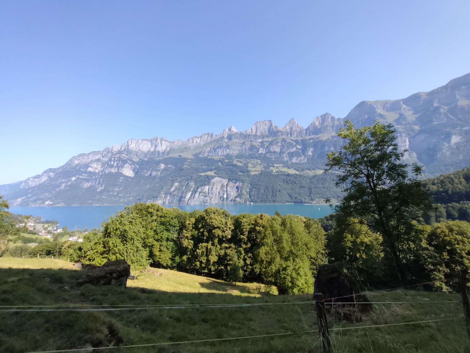
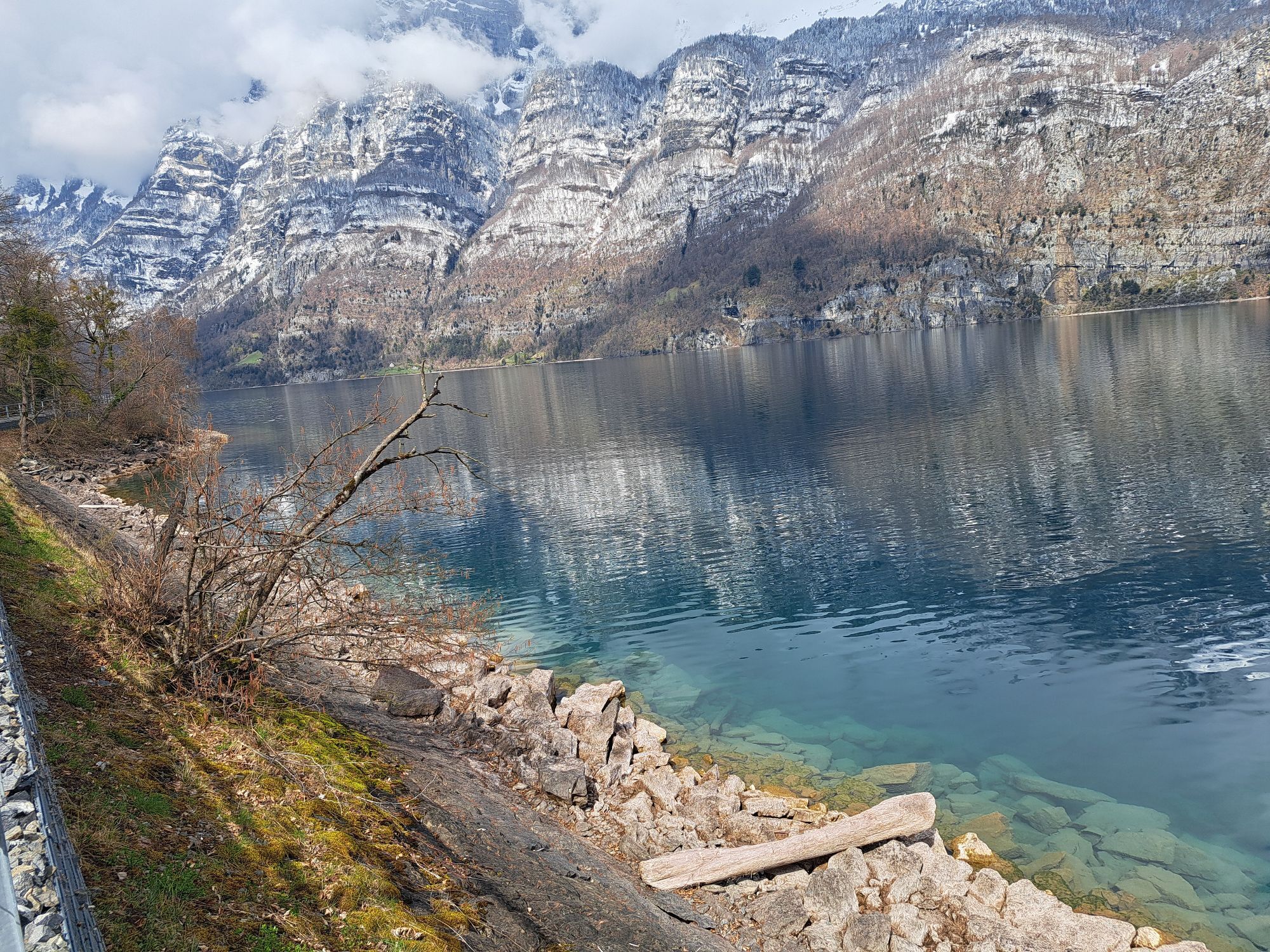
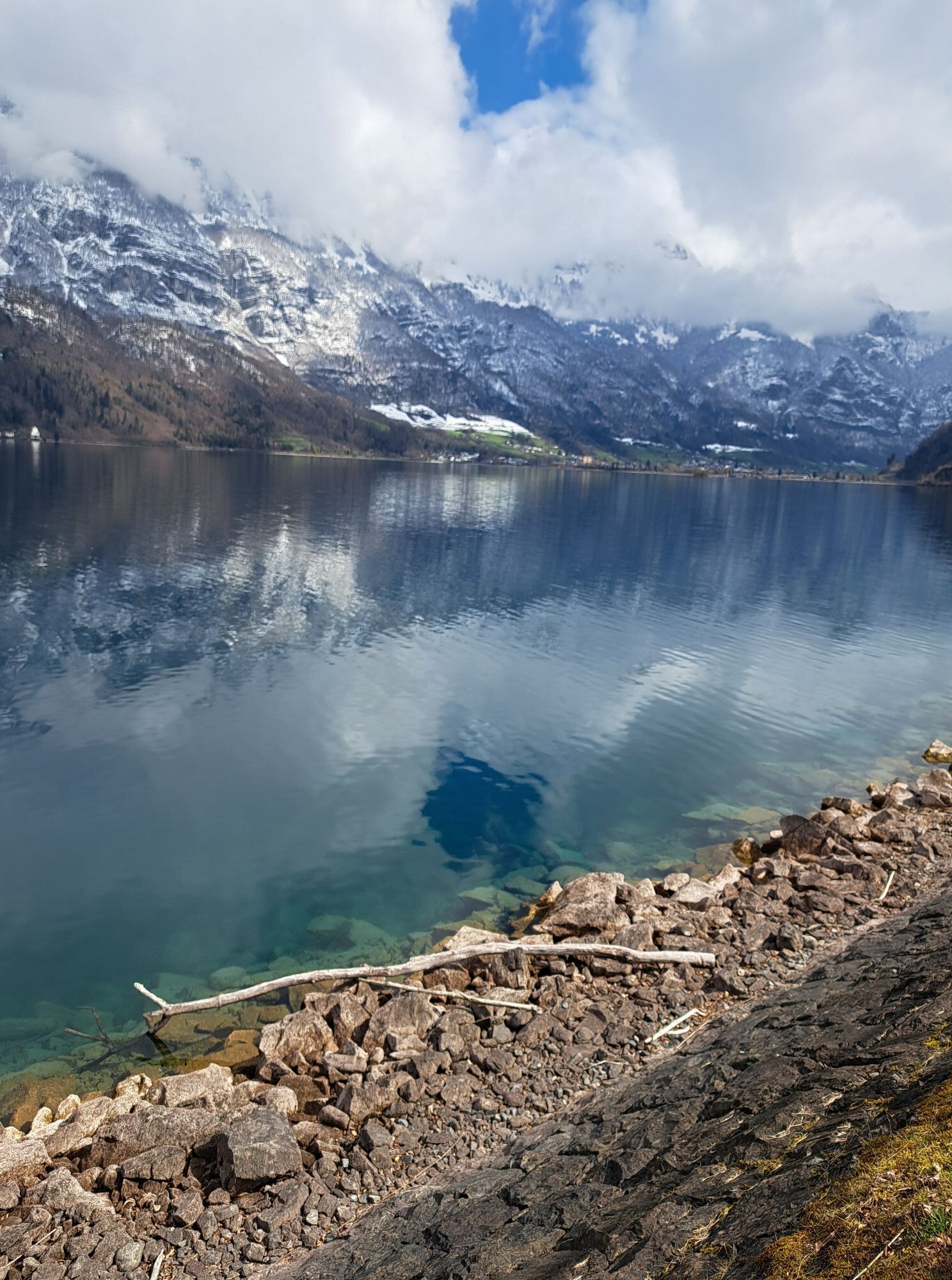
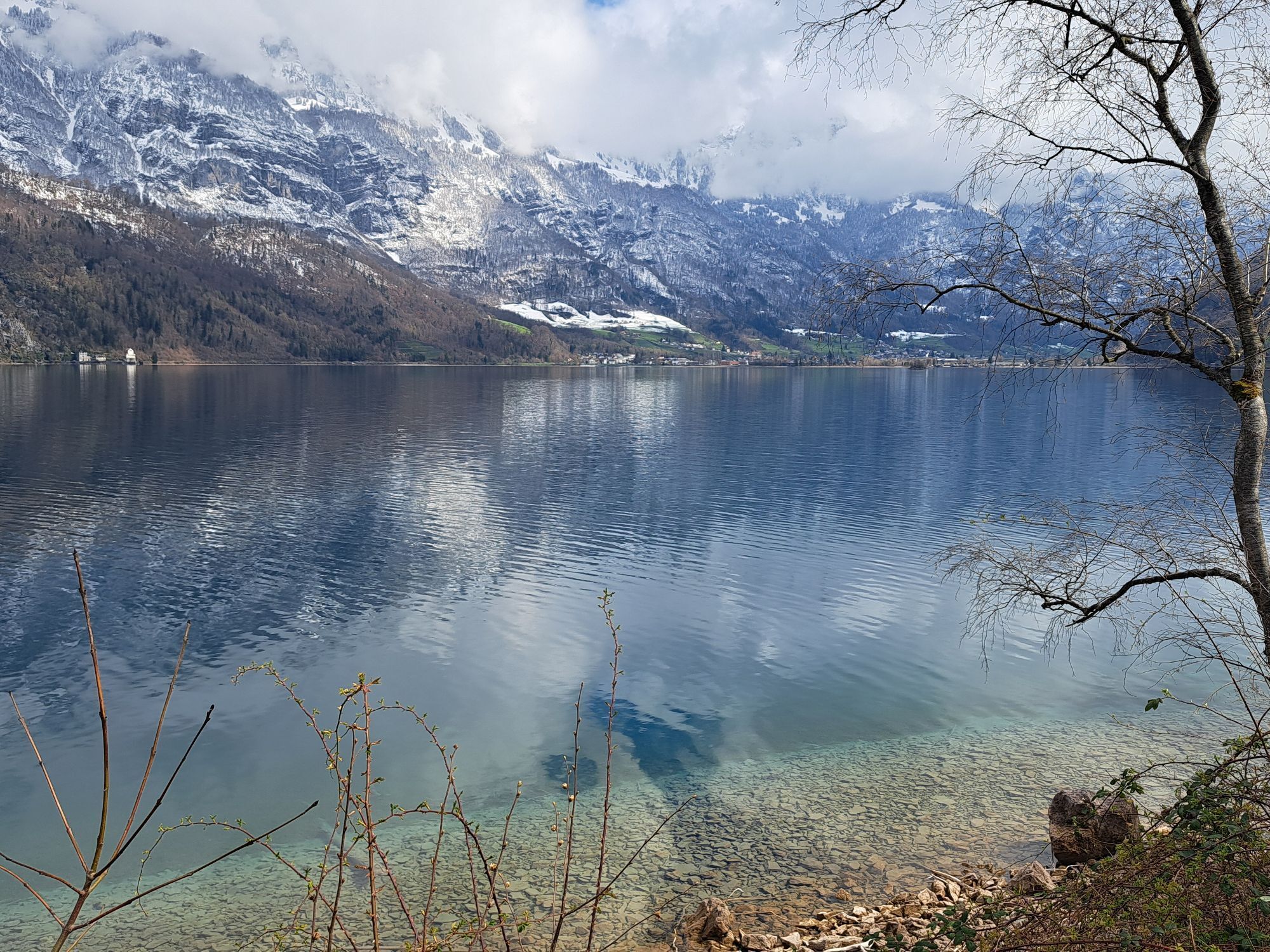
The starting point is the port and market town of Walenstadt. The route briefly crosses the Swiss Army training area before ascending and leading on beautiful paths behind the prominent hill called "Raischibe"....
The starting point is the port and market town of Walenstadt. The route briefly crosses the Swiss Army training area before ascending and leading on beautiful paths behind the prominent hill called "Raischibe". The first climb is completed when the view of Lake Walen opens up on the right. The route now descends and ascends, running almost entirely on natural roads in this section, passing through forests, meadows, and agricultural estates. Again and again, Lake Walen and the Churfirsten come into view along the way, offering incomparable panoramas.
At the highest point, a natural road branches off to the right, leading steeply downhill for the next 400 meters of altitude - a test for riders and brakes. After crossing the Murgbach, a leisurely roll follows back along the lake to Walenstadt. Along the way, the beach baths in Murg, Unterterzen, and Mols invite you to a refreshing swim in the lake.

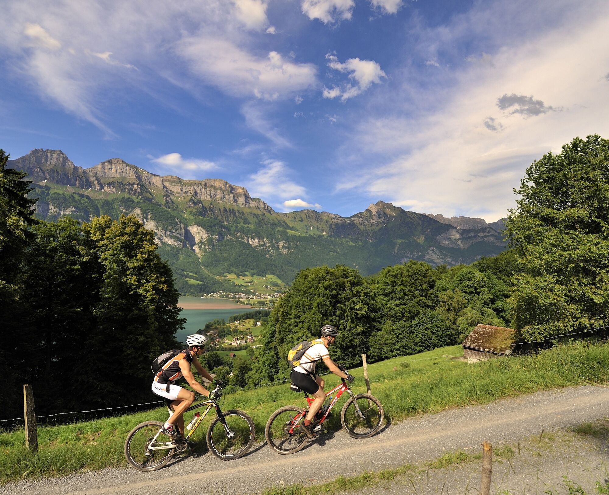
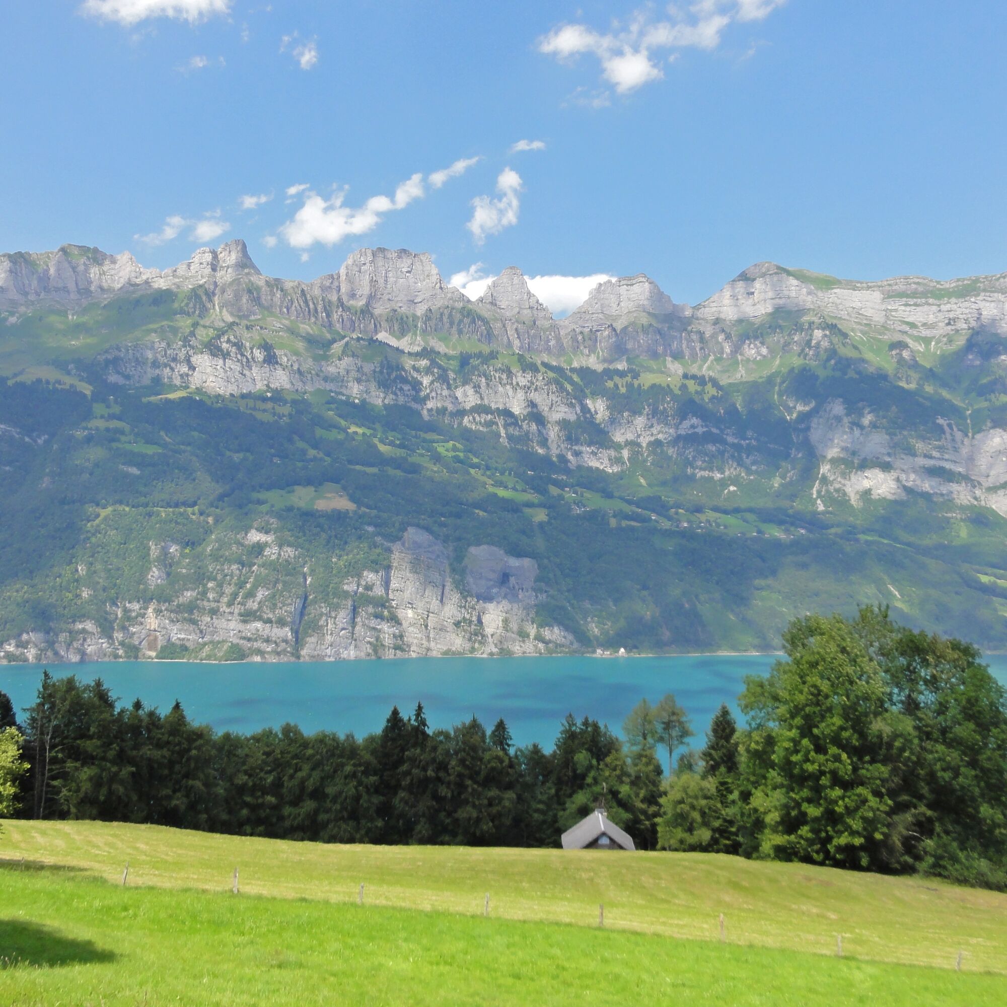

Walenstadt - Oberterzen - Murgtal - Murg - Unterterzen - Walenstadt
Light bike equipment is sufficient for this route.
It may occasionally happen that the route is closed shortly before Oberterzen due to shooting activities at the Oberterzen shooting range. In this case, Oberterzen must be bypassed via Nejenberg - Getzi - Tisen - Hamifiu - Boden.
Motorway exit Flums, then continue on the main road to Walenstadt station
By train to Walenstadt
Paid parking (P+R) is available at Walenstadt station.
S1
Follow the SwitzerlandMobility logo with the number 476 on the red signage for mountain biking.
Heidiland Tourism AG, Flumserberg information office
T +41 (0)81 720 18 18
www.heidiland.com
In Murg is located the third largest sweet chestnut forest in Switzerland. The mild climate and the acidic soil favor the growth of the sweet chestnut.
 Pridobite vpogled
Vedno v živo na mestu z več kot 9.500 spletnimi kamerami. bergfex Kot uporabnik Pro si lahko zdaj ogledate ustrezne spletne kamere za številne izlete v aplikaciji izleti iz. Tako si lahko neposredno ogledate trenutne razmere.
Pridobite vpogled
Vedno v živo na mestu z več kot 9.500 spletnimi kamerami. bergfex Kot uporabnik Pro si lahko zdaj ogledate ustrezne spletne kamere za številne izlete v aplikaciji izleti iz. Tako si lahko neposredno ogledate trenutne razmere.

Priljubljeni izleti v okolici
-
4.8
Walensee Riviera Weesen - Quinten
srednjaPohodništvo 10.2 km -
4.7
Riviera Lake Walen Walenstadt-Quinten
srednjaPohodništvo 10.4 km -
4.6
Weesen - Quinten - Walenstadt
težkoPohodništvo 20.6 km -
4.5
7-Peak Tour Flumserberg
težkoPohodništvo 15.0 km -
5.0
Schrina Alp and Cultural Trail
srednjaTematska pot 11.5 km -
4.7
Alvier
srednjaPohodništvo 3.33 km -
4.5
4-Summit-Route Flumserberg
srednjaPohodništvo 8.65 km -
4.9
Fronalpstock GL
srednjaPohodništvo 7.84 km -
4.6
Amden - Speer (Rundkurs)
svetlobaPohodništvo 17.6 km -
4.9
Quarten - Murgseehütte - Berggasthaus Murgsee - Glarus Nord
srednjaPohodništvo 14.7 km

Pohodništvo in sledenje


Ne zamudite ponudb in navdiha za naslednje počitnice
Vaš e-poštni naslov je bil dodan na poštni seznam.





