







Seez-Trail 443
Stopnja težavnosti: 2
The outdoor fitness trails in the Heidiland holiday region include over 30 uniformly signposted running routes starting from a total of 10 stations and thus form one of the largest outdoor fitness parks...
The outdoor fitness trails in the Heidiland holiday region include over 30 uniformly signposted running routes starting from a total of 10 stations and thus form one of the largest outdoor fitness parks in the Alpine region. The Seez-Trail is one of three running routes around the Flums station.
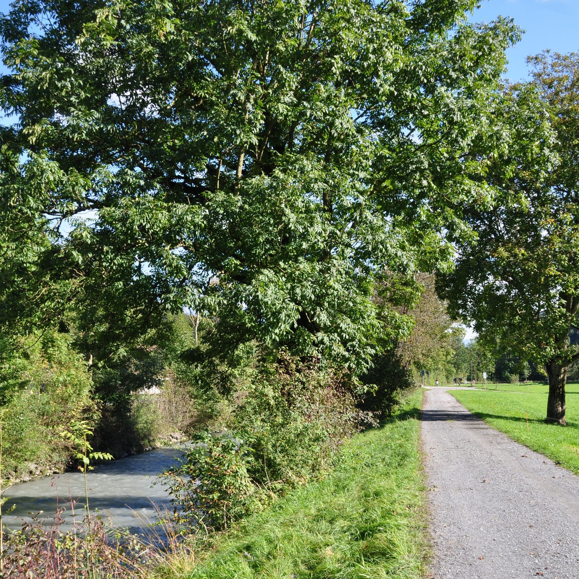
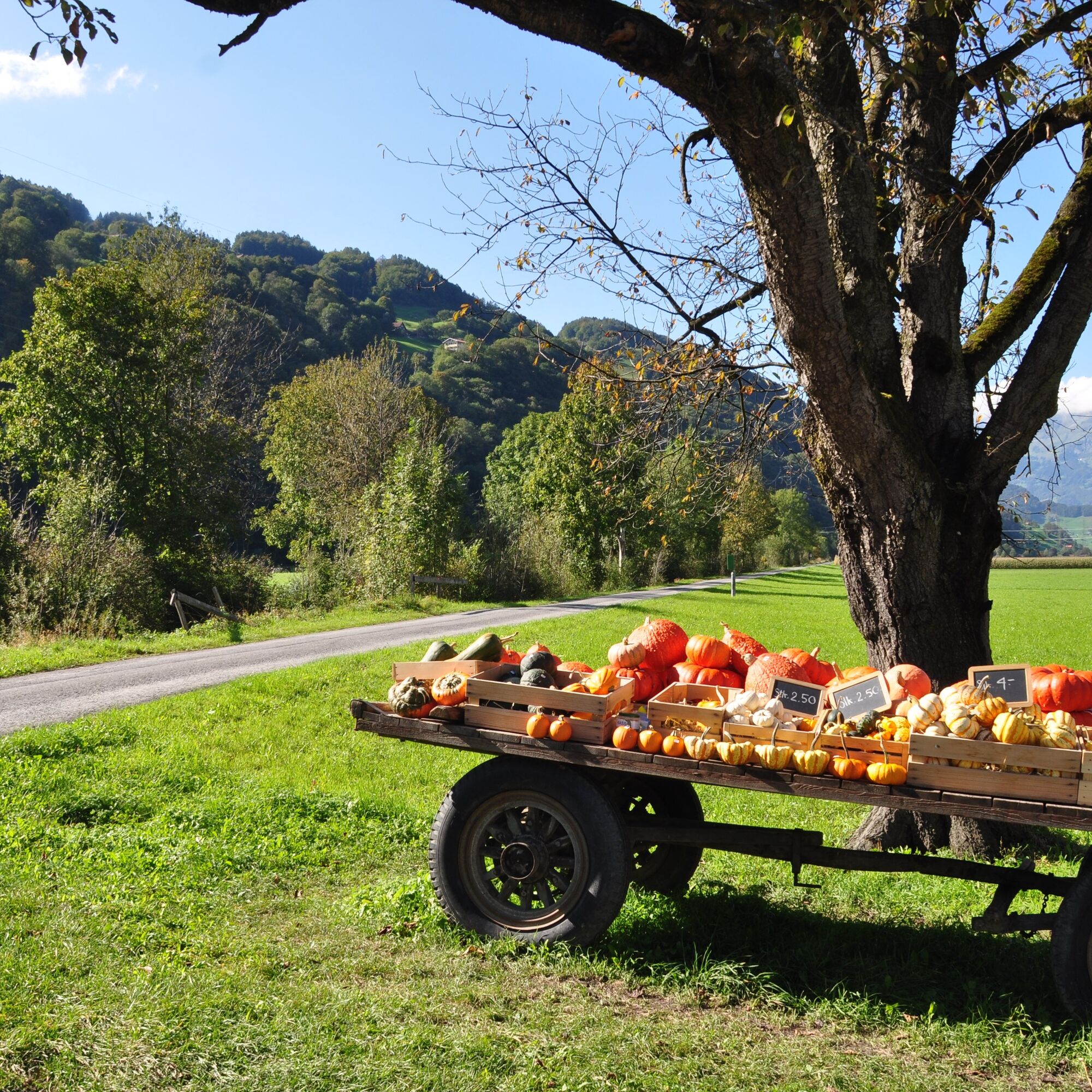
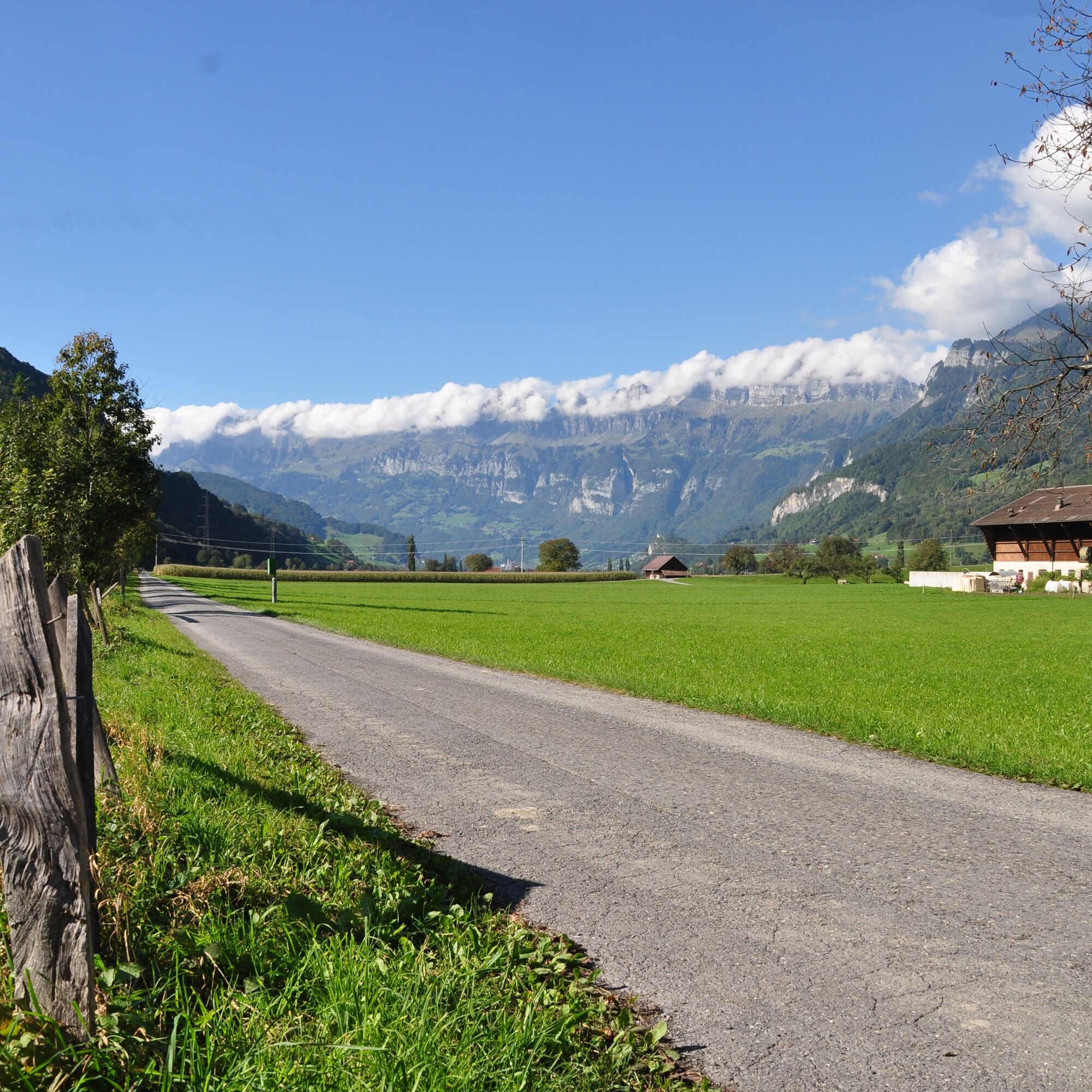
The starting point for this 11.4 km long trail is the Infopoint at Flums station by the train station parking lot (451 m above sea level). Still at the station, before the bridge over the Seez, all three trails turn right onto the sidewalk along the stream to the next small bridge. After crossing this, the trail continues through a residential area towards the football field. Only here do the trails split. Shortly before the football field, the Seez-Trail turns left – right into the old village center. Finding the right way through the many alleys is not that easy. The two village churches (554 m) serve as orientation points. Passing them, you reach the southern village edge and from there the Seez. On a well-maintained agricultural path, the trail continues between the Seez and the forest, passing individual farms, apple trees, meadows, and pastures up to the small farm settlement Sax near the Tiergartenhügel (466 m). There, you cross the Seez on a small stone bridge. Always keeping the Churfirsten and the St. Georgen chapel in view, you now return on the other side of the Seez on the national bike route back to the Infopoint at the train station parking lot in Flums.


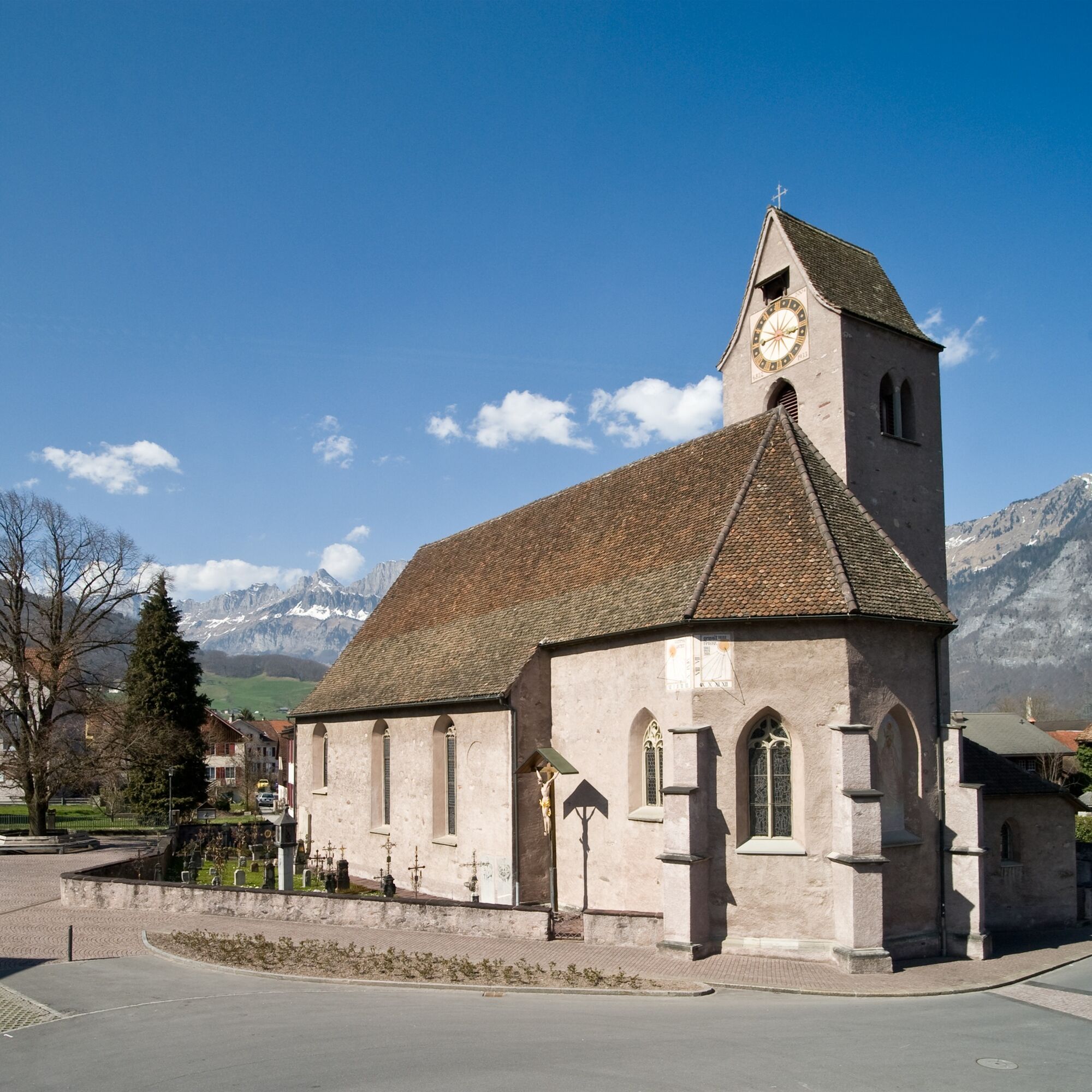
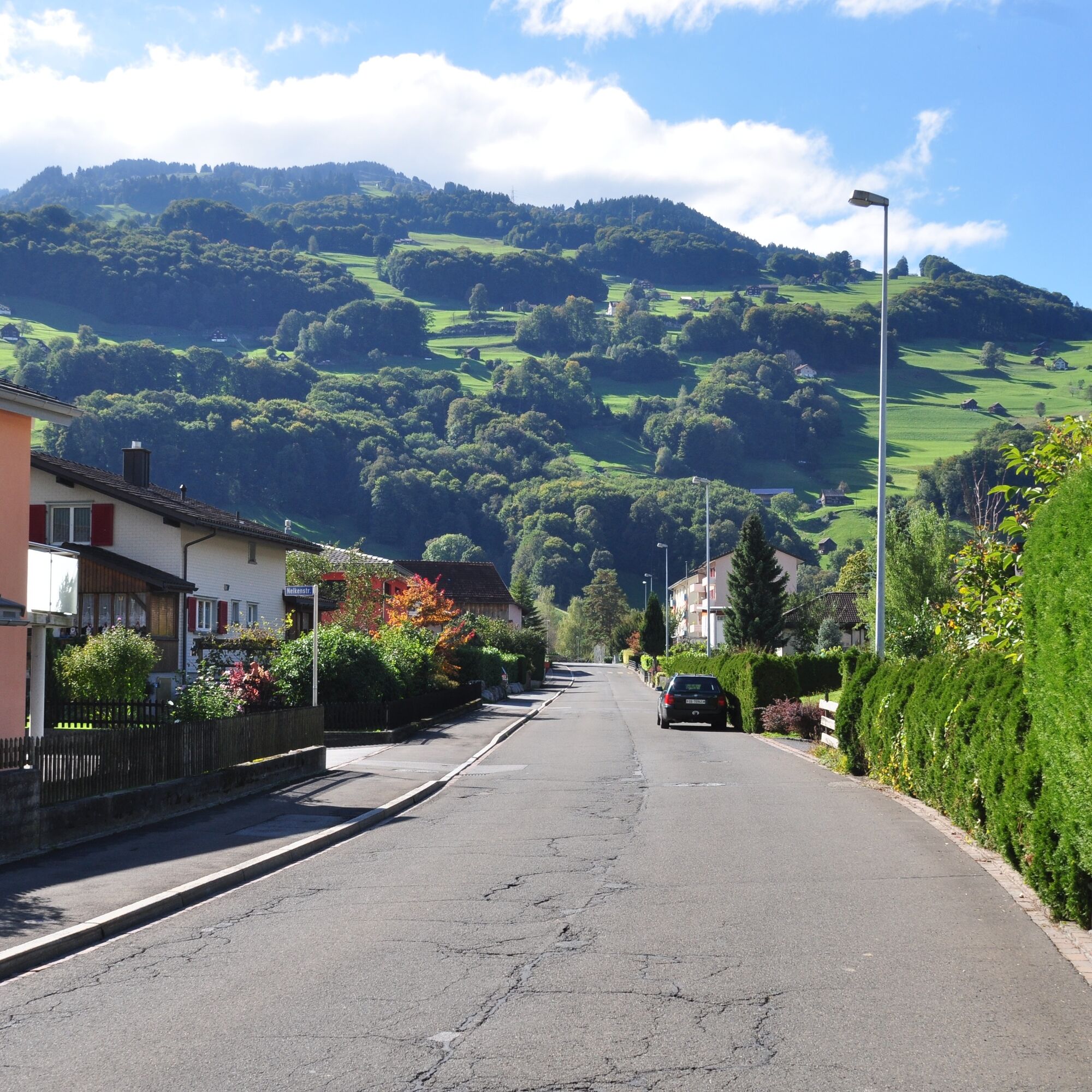
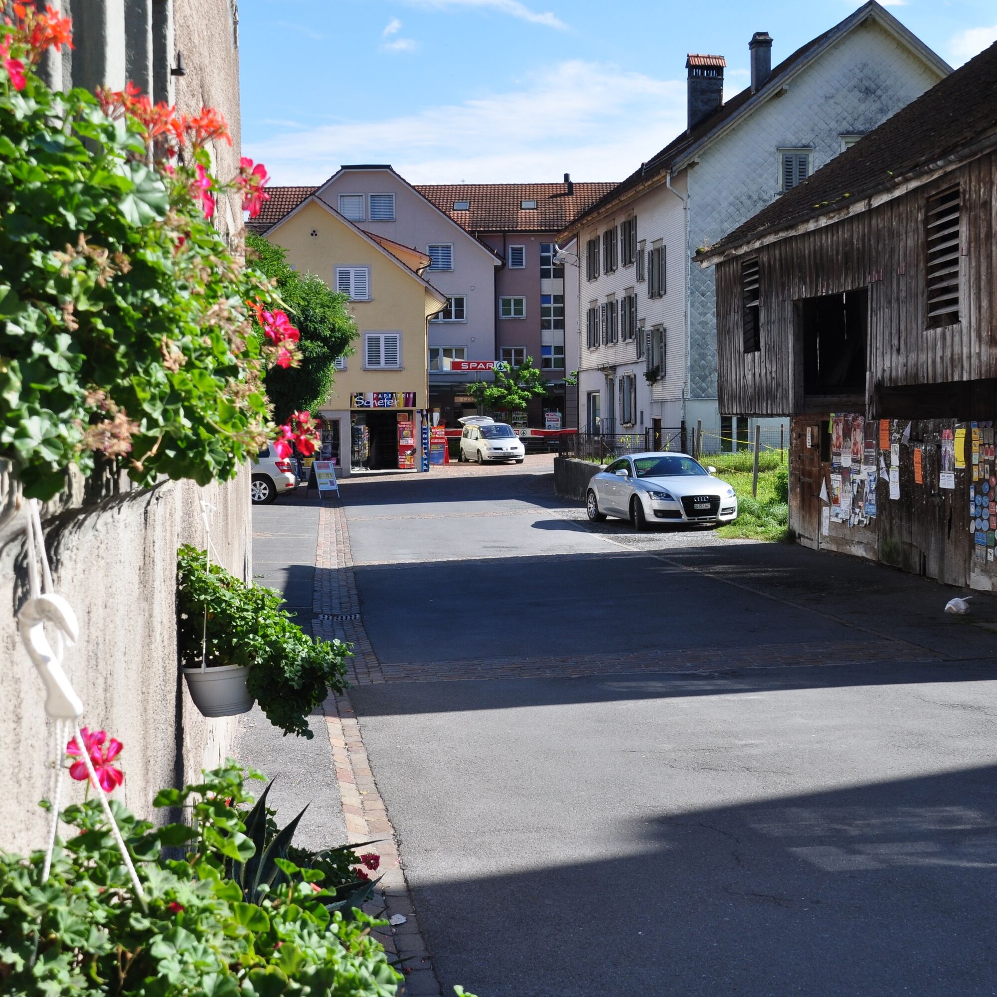
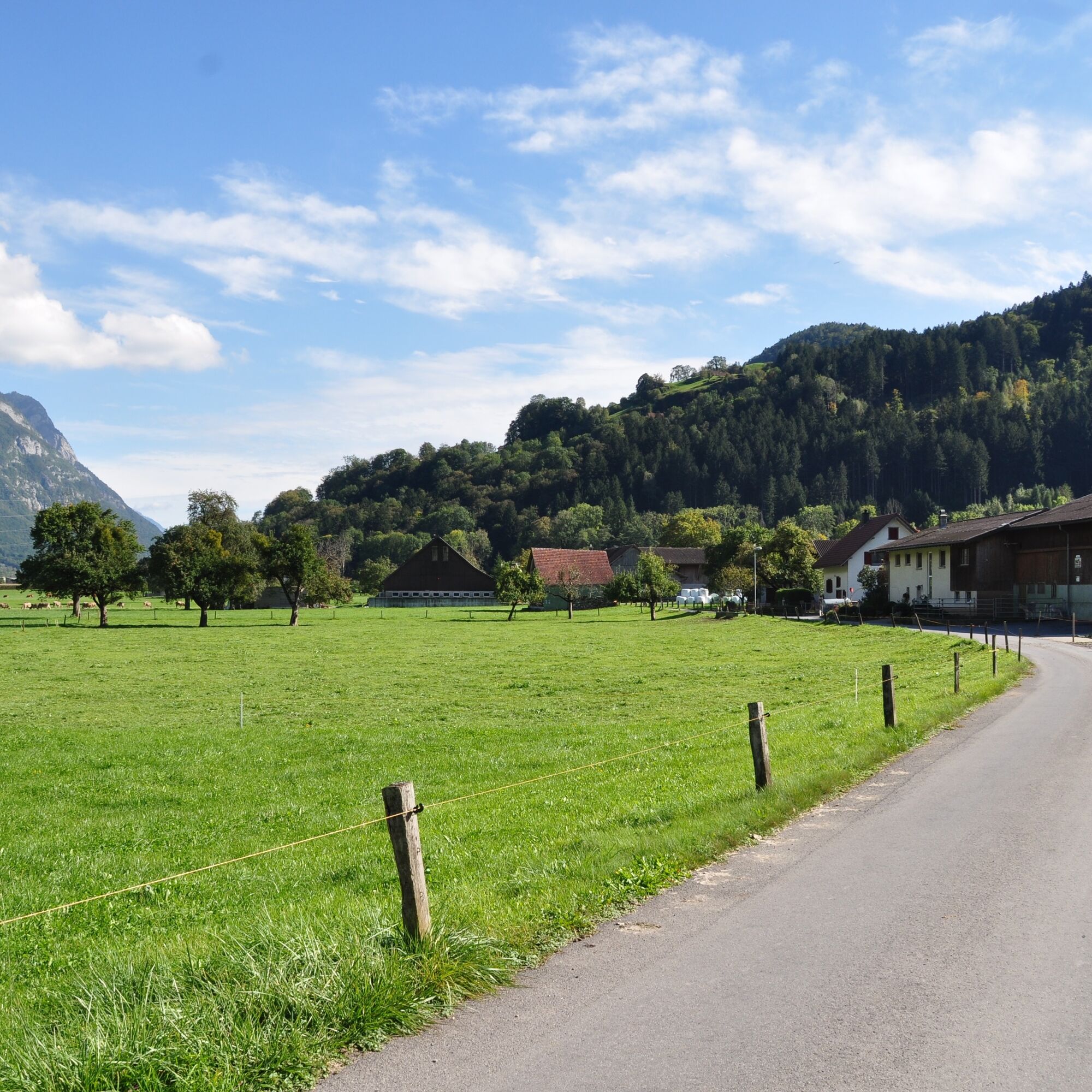

Infopoint Flums - Football field - Flums center - Sax - Infopoint Flums
Normal jogging gear, sturdy and comfortable footwear.
Depending on the weather, some spots can be slippery.
Take the Flums motorway exit, then drive to Flums train station.
By train to Flums.
There are paid parking spaces at Flums train station.
2
Heidiland Tourism, Flumserberg information office
T +41 81 720 18 18
www.heidiland.com
The Tiergartenhügel is one of the 55 Places of Wonder in the Heidiland holiday region. For more information on the Places of Wonder, visit www.heidiland.com/de/erlebnisse/kunst-kultur/orte-des-staunens-hintergrund
Order Heidiland hiking map: www.heidiland.com/de/erlebnisse/sommeraktivitaeten/wandern/kartenmaterial-wandern
The outdoor fitness trails mostly run on official hiking paths. The hiking trail signage also helps with orientation along the way.
Pridobite vpogled
Vedno v živo na mestu z več kot 9.500 spletnimi kamerami. bergfex Kot uporabnik Pro si lahko zdaj ogledate ustrezne spletne kamere za številne izlete v aplikaciji izleti iz. Tako si lahko neposredno ogledate trenutne razmere.
Priljubljeni izleti v okolici
-
4.7
Riviera Lake Walen Walenstadt-Quinten
srednjaPohodništvo 10.4 km -
4.6
Weesen - Quinten - Walenstadt
težkoPohodništvo 20.6 km -
4.7
5-Seen Wanderung am Pizol
svetlobaPohodništvo 10.1 km -
4.5
7-Peak Tour Flumserberg
težkoPohodništvo 15.0 km -
4.7
Tamina Gorge Circular Route
srednjaPohodništvo 14.0 km -
5.0
Schrina Alp and Cultural Trail
srednjaTematska pot 11.5 km -
4.7
Alvier
srednjaPohodništvo 3.33 km -
4.5
4-Summit-Route Flumserberg
srednjaPohodništvo 8.65 km -
4.6
Pizol - Batöni - Weisstannen
težkoPohodništvo 11.7 km -
4.0
Winter hike on the Rosenboden panoramic circular route
svetlobaZimsko pohodništvo 2.95 km

Pohodništvo in sledenje


Ne zamudite ponudb in navdiha za naslednje počitnice
Vaš e-poštni naslov je bil dodan na poštni seznam.





