


Tour de Kristinestad
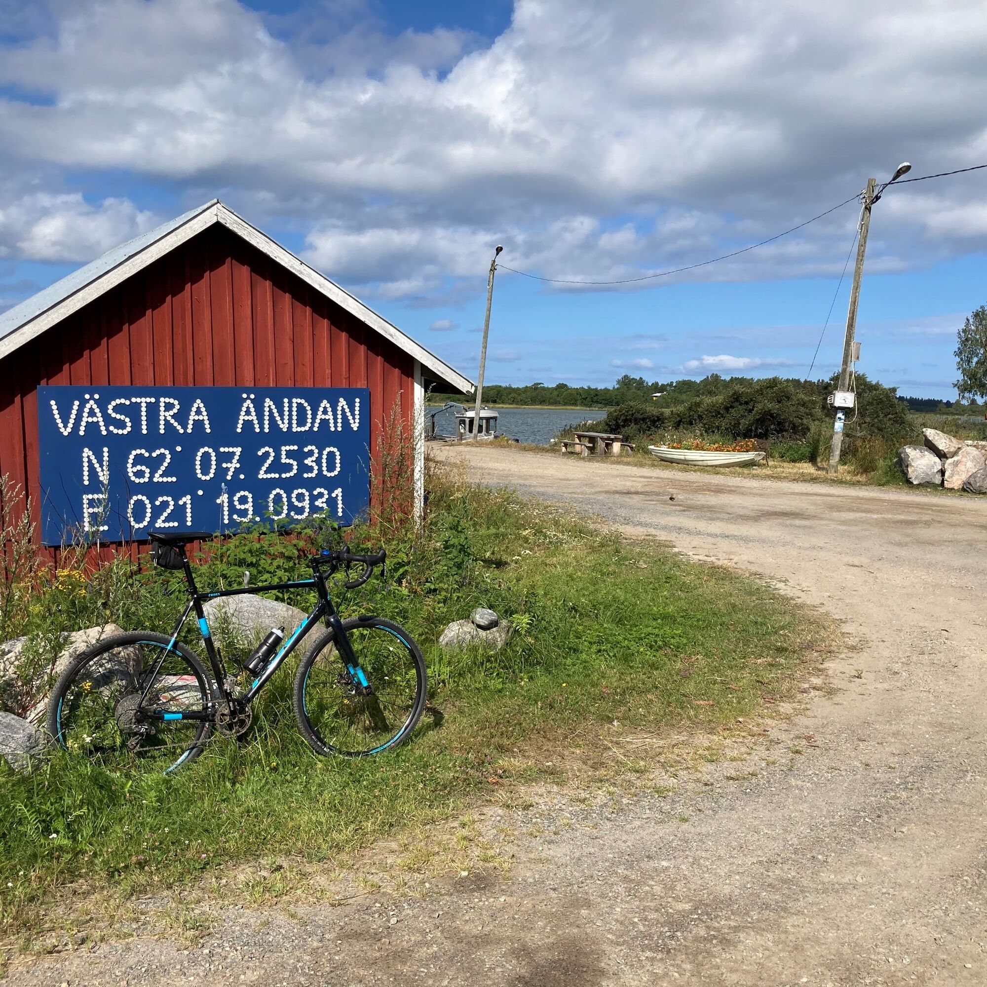
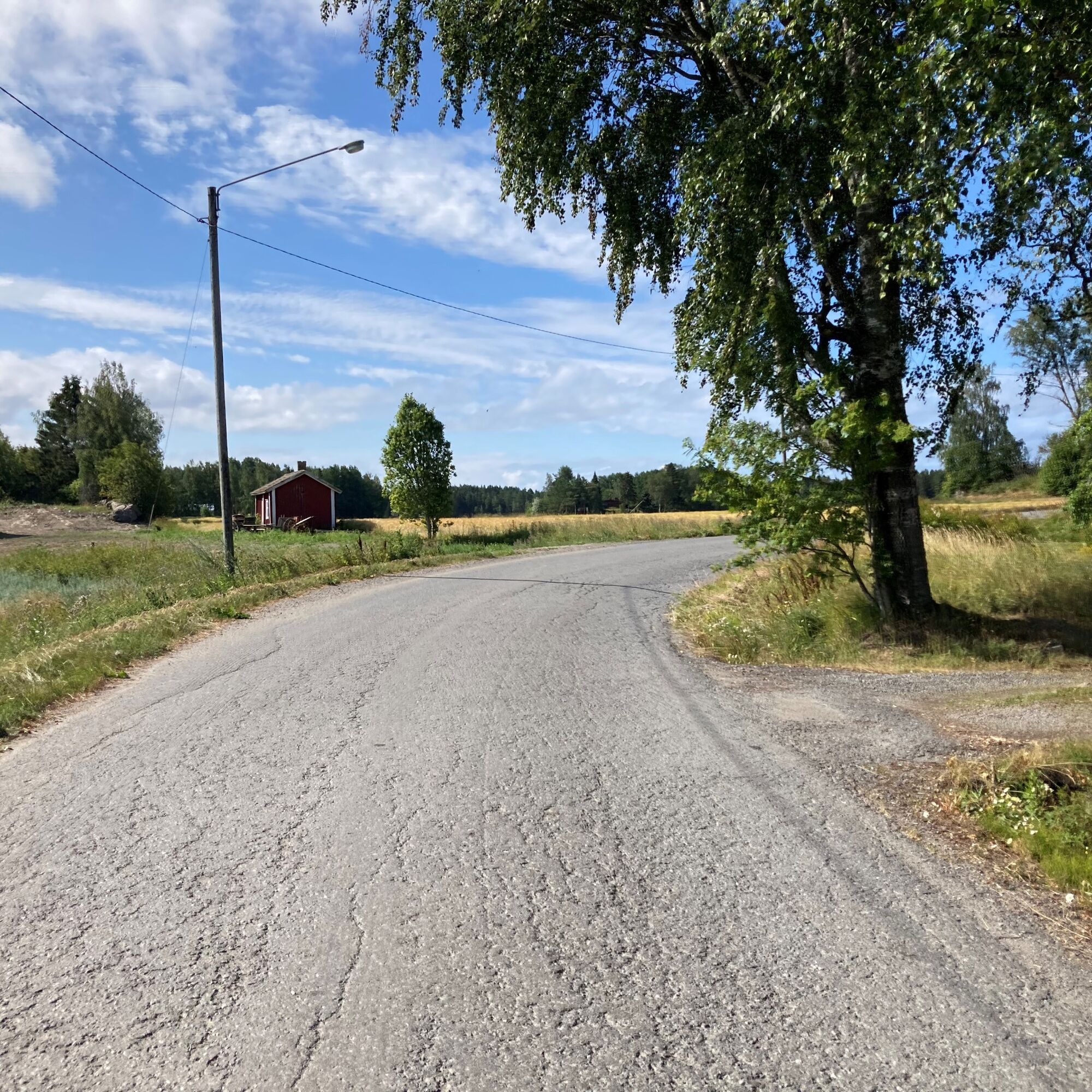
A wide selection of opportunities where you can combine your own route. The uploaded route is long, and you can choose your own from this network.
A part of the route also includes kayaking or sup-boarding...
A wide selection of opportunities where you can combine your own route. The uploaded route is long, and you can choose your own from this network.
A part of the route also includes kayaking or sup-boarding if you are adventurous.
Da
Da
Da
There are limited possibilities to refill water bottles so please be sure that you have enough from the start.
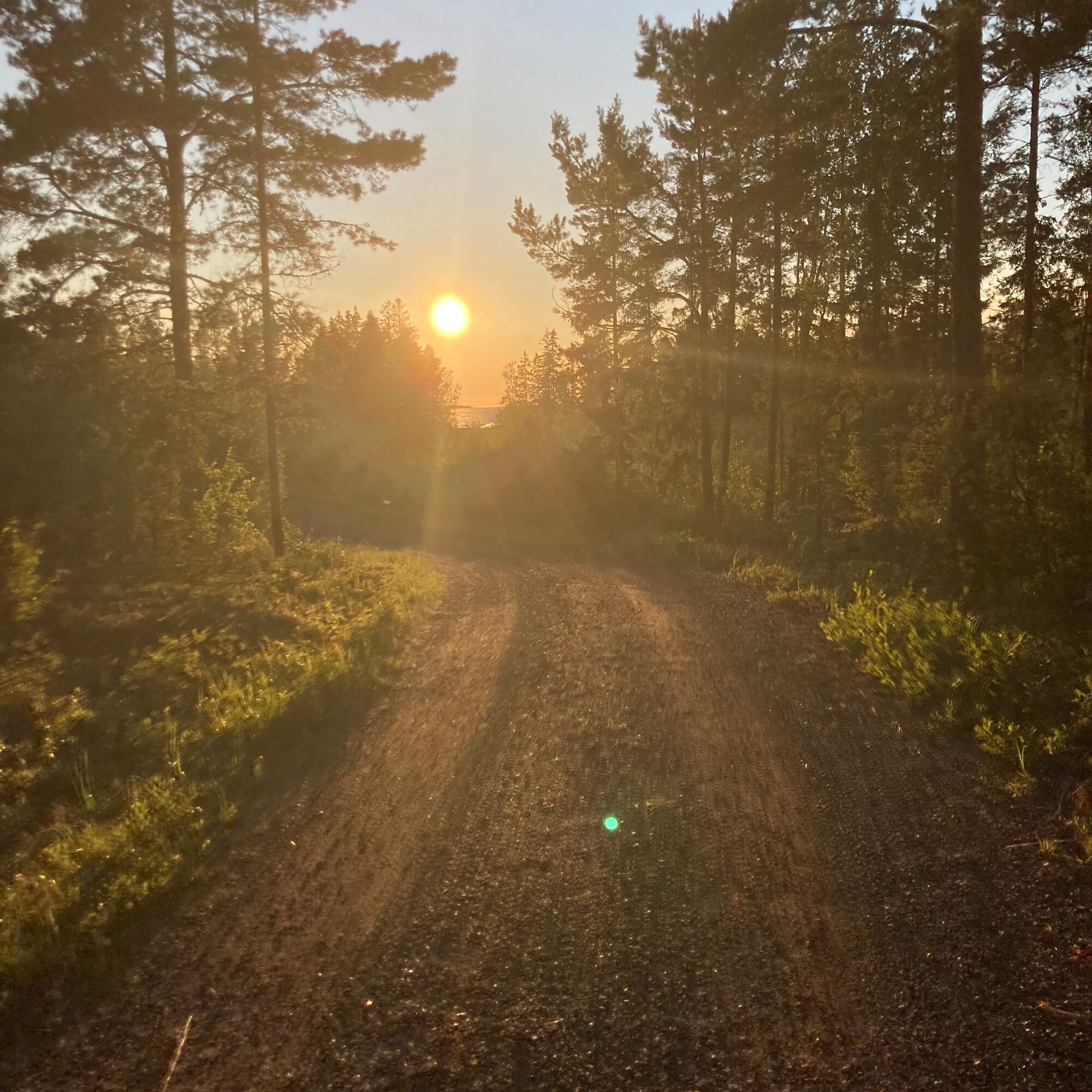
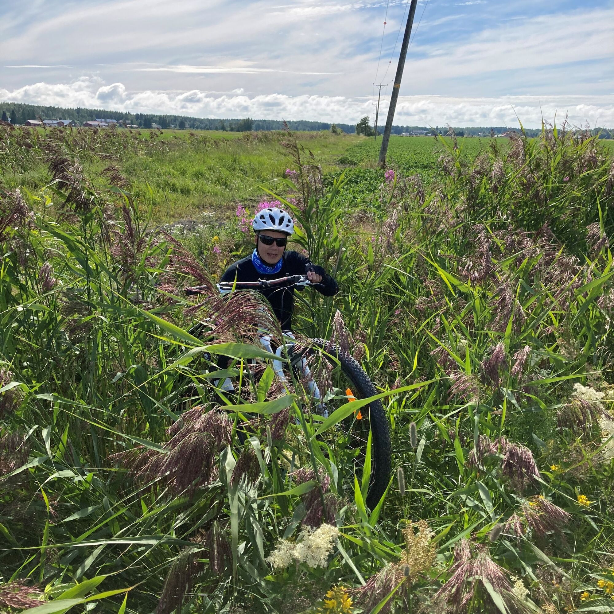
Most of the routes are on gravel roads. It's adviced that the rider is comfortable with riding self supportive i.e being able to repair and change inner tube on the road.
There is a sports shop in the city centre where you can get the needed equipment.
Priljubljeni izleti v okolici
Cittago
srednjaKolesarjenje 13,9 kmSt Olav Ostrobothnia (S) 2/10, Henriksdal-Kristinestad
težkoRomarska pot 27,7 kmMurgrund and Österskäret
Kajak / Kanu 16,4 kmSkaftungleden
Kajak / Kanu 19,7 kmSkaftung's archipelago's northwestern areas
Kajak / Kanu 10,4 kmSkaftung – To the sea!
Kajak / Kanu 17,2 kmMemories from Skaftung's golden age
Kajak / Kanu 16,8 kmSkatan Tour
Kajak / Kanu 13,6 kmSt Olav Ostrobothnia (S) 1/10, Sideby-Henriksdal
srednjaRomarska pot 17,1 kmBlue Trail
Pohodništvo 3,65 km

Pohodništvo in sledenje


Ne zamudite ponudb in navdiha za naslednje počitnice
Vaš e-poštni naslov je bil dodan na poštni seznam.