





St Olav Ostrobothnia (N) 10/11 Lillkyro-Veikars
An easy day hike, following the roads along the Kyrö River. A total of 4 crossings on bridges of different sizes and types. NOTE: Please be aware that there are no grocery stores along the route and only...
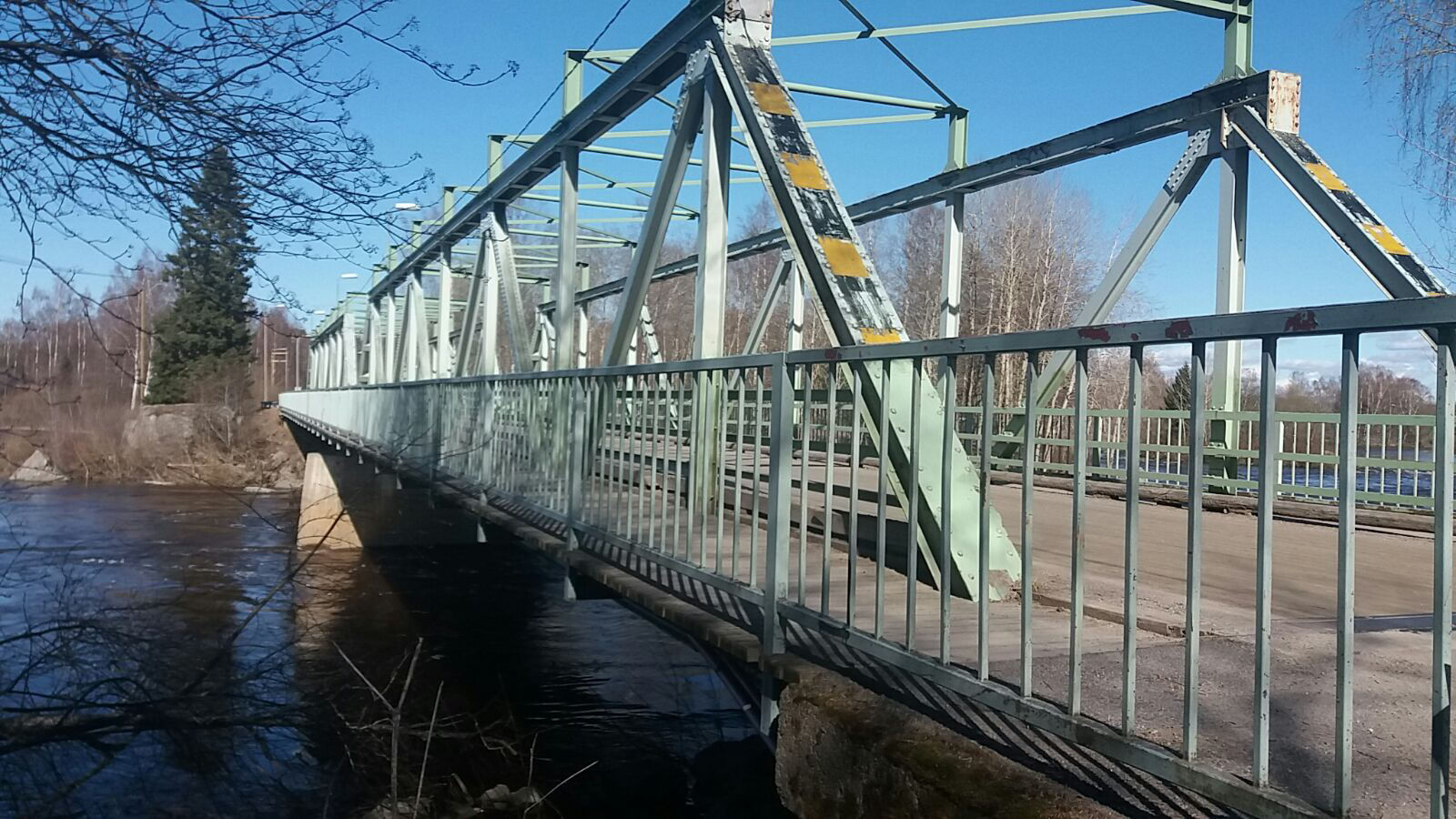
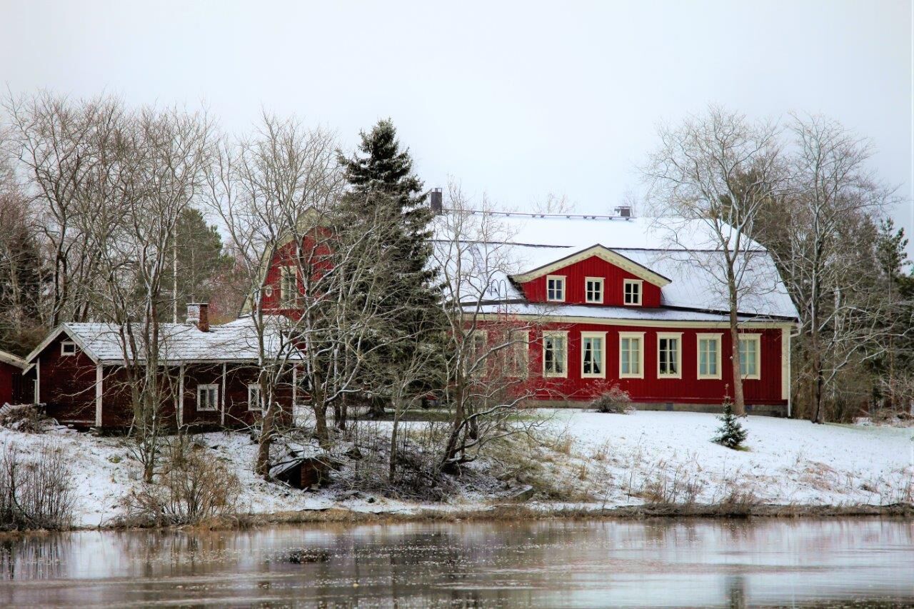
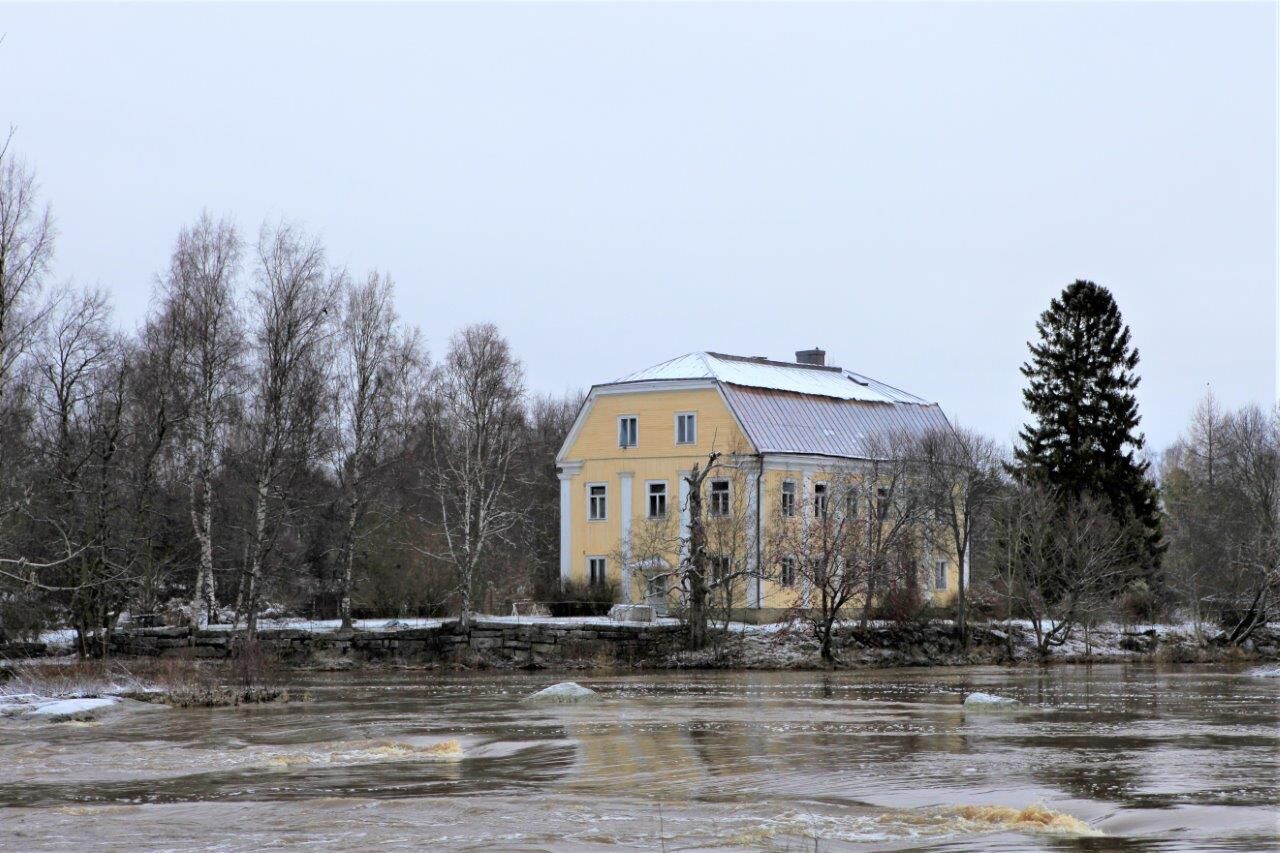
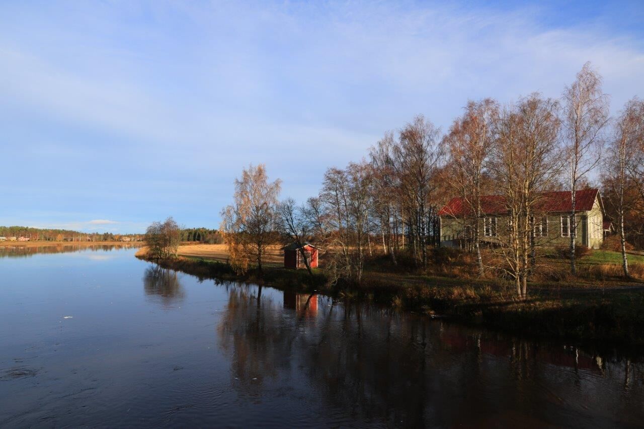
After about 4 km you reach the Saarensivu suspension bridge and cross it to continue westwards on Älvstrandsvägen. About 3.5 km later you cross again to the southern shore, on the Merikart suspension bridge. After just over 2 km, the trail turns right and after a couple of hundred metres you cross Kolkki Bridge to the north side. Here you can rest, perhaps eat or spend the night at Kolkki Mansion.
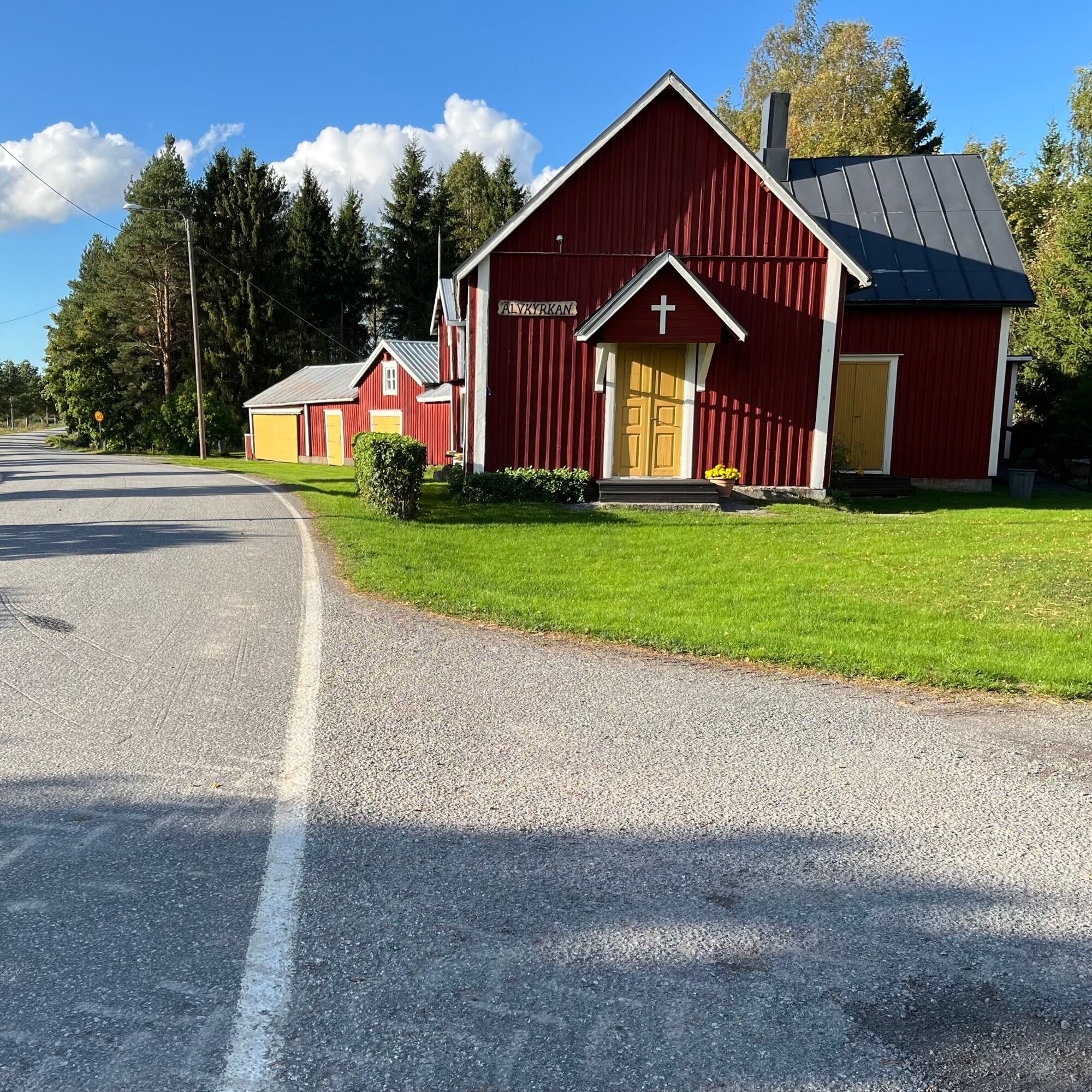
The stage continues along Älvstrandsvägen, which changes its name to Staversbyvägen when you cross to the Korsholm side. At about 14.5 km, you can continue on Staversbyvägen for a small detour to Älvkyrkan (3 km round trip), or turn left towards Veikars and walk directly towards the bridge and on to Veikars.
INFO VEIKARS
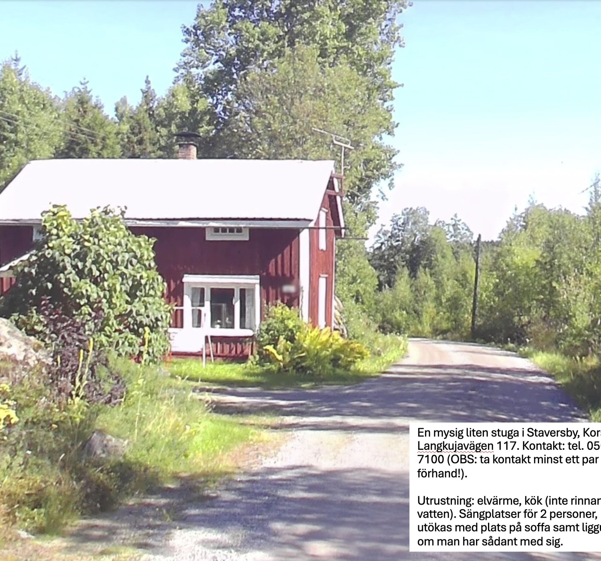
Small cottage in Staversby: tel. 050 479 7100
Airbnb ‘Log house in Voitby’
Airbnb ‘Grandma's cottage in Älvbyarna’
Kolkki Mansion tel. 0400 698 573


Priljubljeni izleti v okolici
St Olav Ostrobothnia (N) 11/11, Veikars-Vasa
svetlobaRomarska pot 21.8 kmSt Olav Ostrobothnia (S) 10/10, Solf-Vasa
težkoRomarska pot 23.0 kmSt Olav Ostrobothnia (N) 9/11 Storkyro-Lillkyro
srednjaRomarska pot 16.6 kmSt Olav Ostrobothnia (N) Vörå-Storkyro, 8/11
težkoRomarska pot 27 kmVanha Satama - Risön lintutorni - Kuninkaankartano - ABC Vaasa
srednjaPohodništvo 12.2 kmKorsholm - Bockholmsbacken - Hattnötbacken - Höstvesi
srednjaPohodništvo 12.8 kmKarkmo - Smedisbacken - Toby - Stegarsbacken
srednjaPohodništvo 14.2 kmKarkmo - Smedisbacken - Toby - Marasbacken
srednjaPohodništvo 14.7 kmLaihia - Hulmi - Maunula
srednjaPohodništvo 12.7 kmKarkmo - Hagnäsbacken - Toby - Skurasbacken
svetlobaPohodništvo 7.92 km
Pohodništvo in sledenje


Ne zamudite ponudb in navdiha za naslednje počitnice
Vaš e-poštni naslov je bil dodan na poštni seznam.





