




St Olav Ostrobothnia (N) Vörå-Storkyro, 8/11

A relatively long, moderately difficult day stage. NOTE: after Vörå centre (from Norrvalla straight ahead along Vöråvägen, to road 725) there are no shops or service points until the final destination...
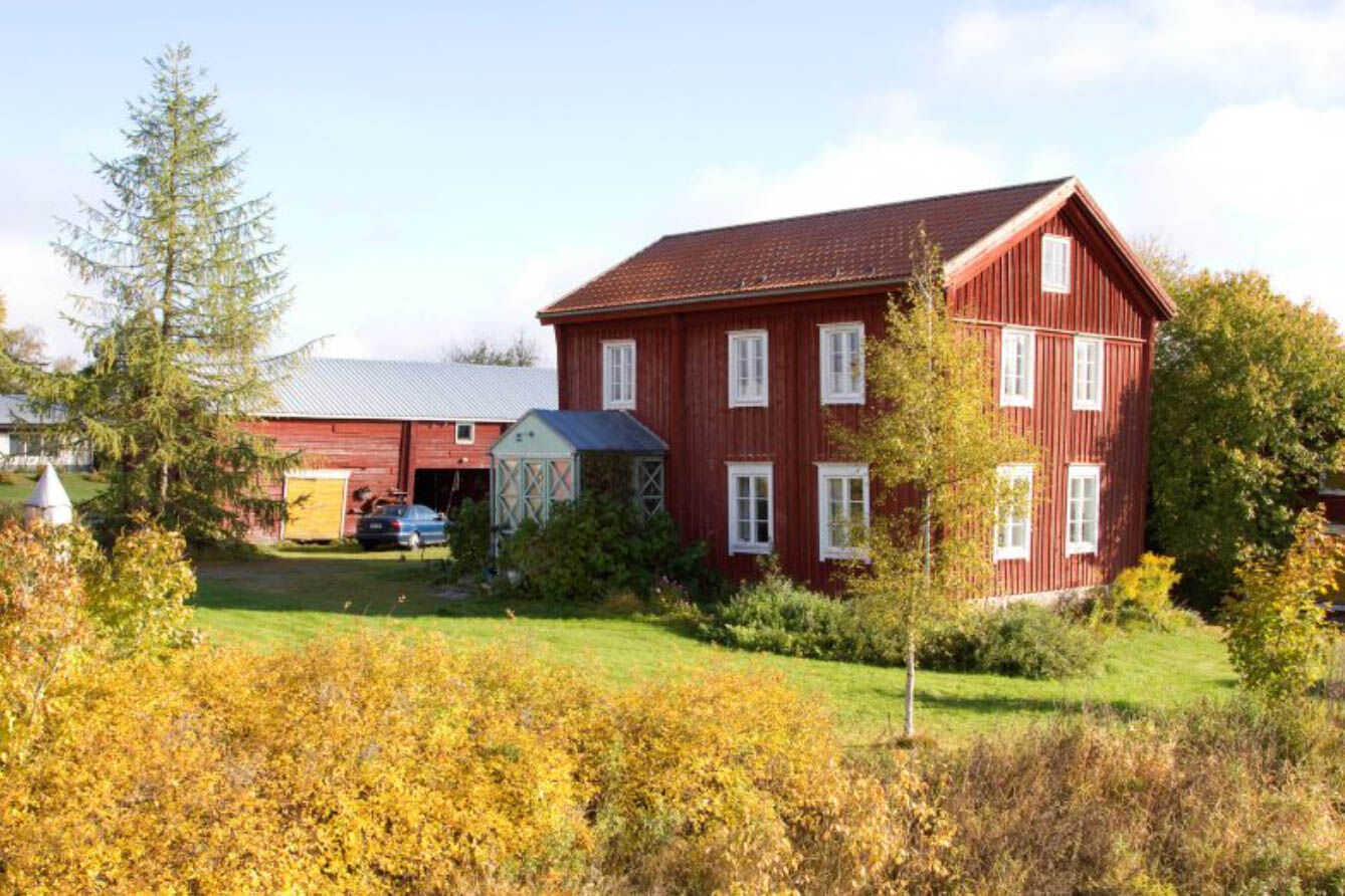
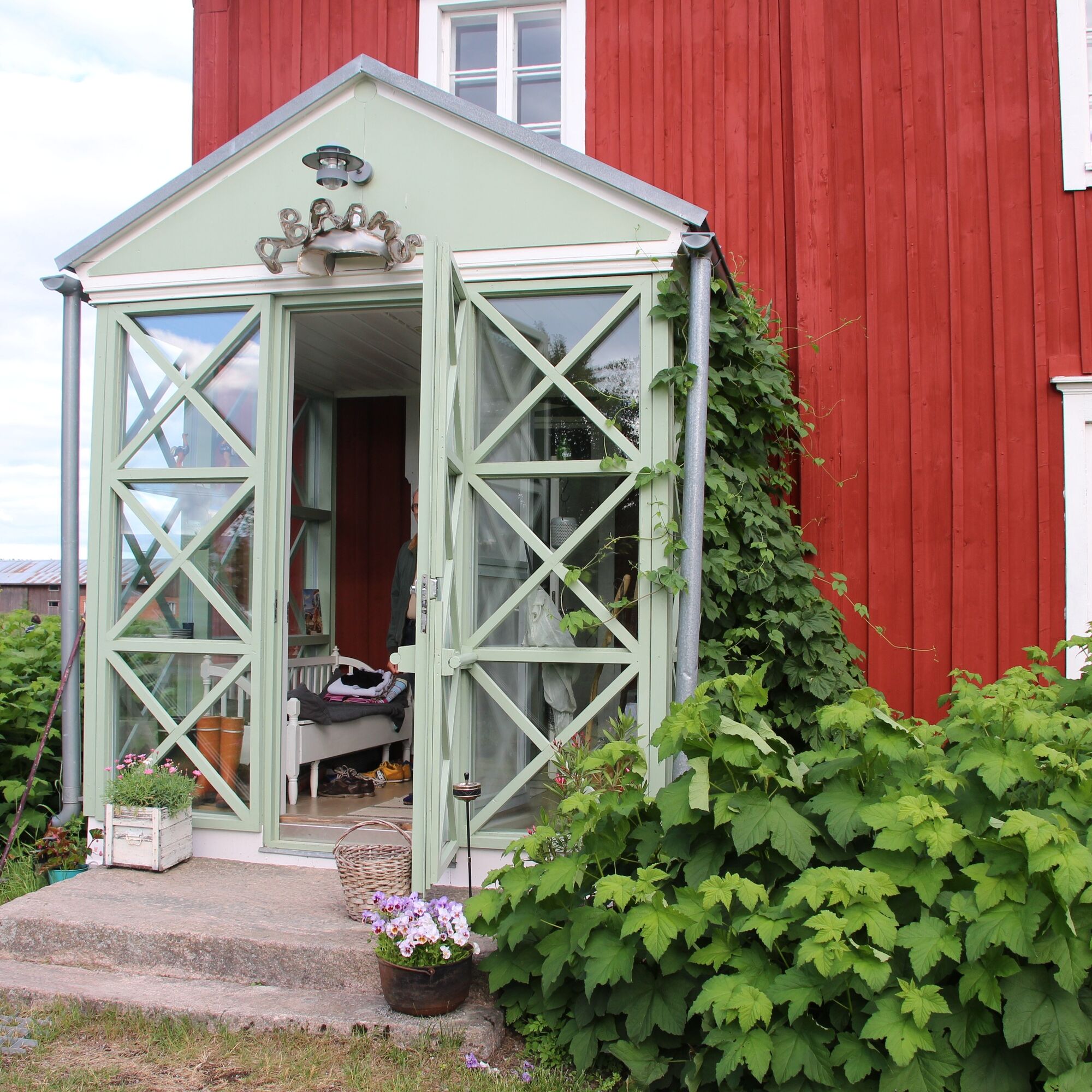
The stage consists mostly of gravel or asphalt roads, two forest stretches (the first about 3.5 km long). At about 6 km (from Norrvalla) you pass Abramsgården, a small cultural centre with the possibility of basic accommodation. The trail then continues out into the farmland and forest landscape. The first forest section starts 2 km after Abramsgården and leads up over the mountain slopes on the Andkil hiking trail.
After the hiking trail, there is about 8 km of gravel road through farmland, over to the Isokyrö municipality area. The trail turns off for an easier forest stage of about 1 km (the trail turns left, on the right side of the road there is a forest rest area with shelter). One more kilometre of gravel road, and then you have to follow the village road down to the Kyrö River. The asphalt road leads along the river into the centre of Isokyrö, on the way there is a summer café by the riverside, Tuuralan kyläkaffila.
INFO ISOKYRÖ
Food: S-Market


Priljubljeni izleti v okolici
-
Ruusupuro-Röökki, Isokyrö
srednjaPohodništvo 5.02 km -
St Olav Ostrobothnia (N) 10/11 Lillkyro-Veikars
Romarska pot 19.0 km -
St Olav Ostrobothnia (N) 9/11 Storkyro-Lillkyro
srednjaRomarska pot 16.6 km -
Vuoresalo, Isokyrö
svetlobaPohodništvo 4.42 km -
Tuomaanmäki, Isokyrö
svetlobaPohodništvo 4 km -
Fatisaari Hiking Route, Isokyrö
svetlobaPohodništvo 6.96 km -
Laihia - Hulmi - Maunula
srednjaPohodništvo 12.7 km
Pohodništvo in sledenje


Ne zamudite ponudb in navdiha za naslednje počitnice
Vaš e-poštni naslov je bil dodan na poštni seznam.





