






ACCESSIBLE ROUTE - SAINT-FARRIOL JOËLETTE TRAIL

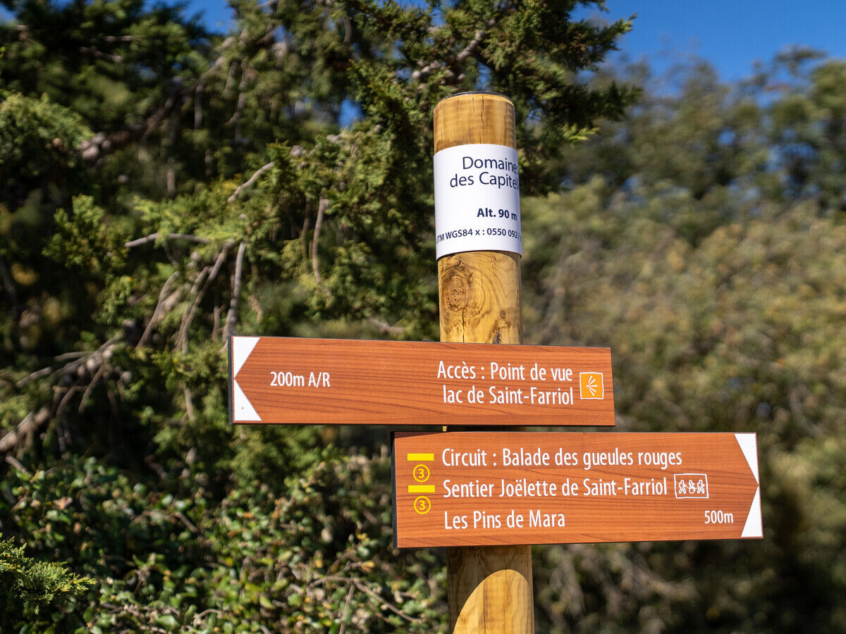
North of the Thau pond, the hills of la Moure dominate the landscape. From Villeveyrac, the Saint-Farriol trail invites you to discover the garrigue, its stone huts and the lake of the same name. This...
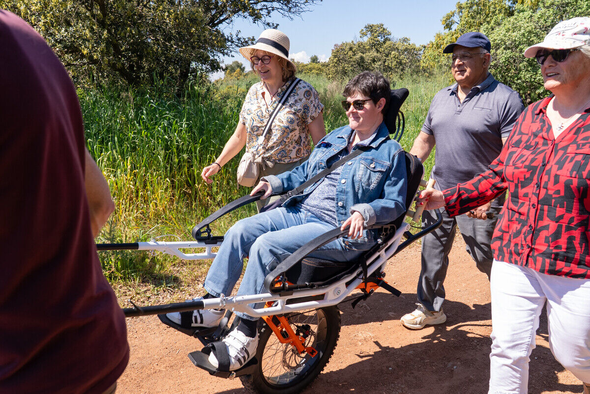
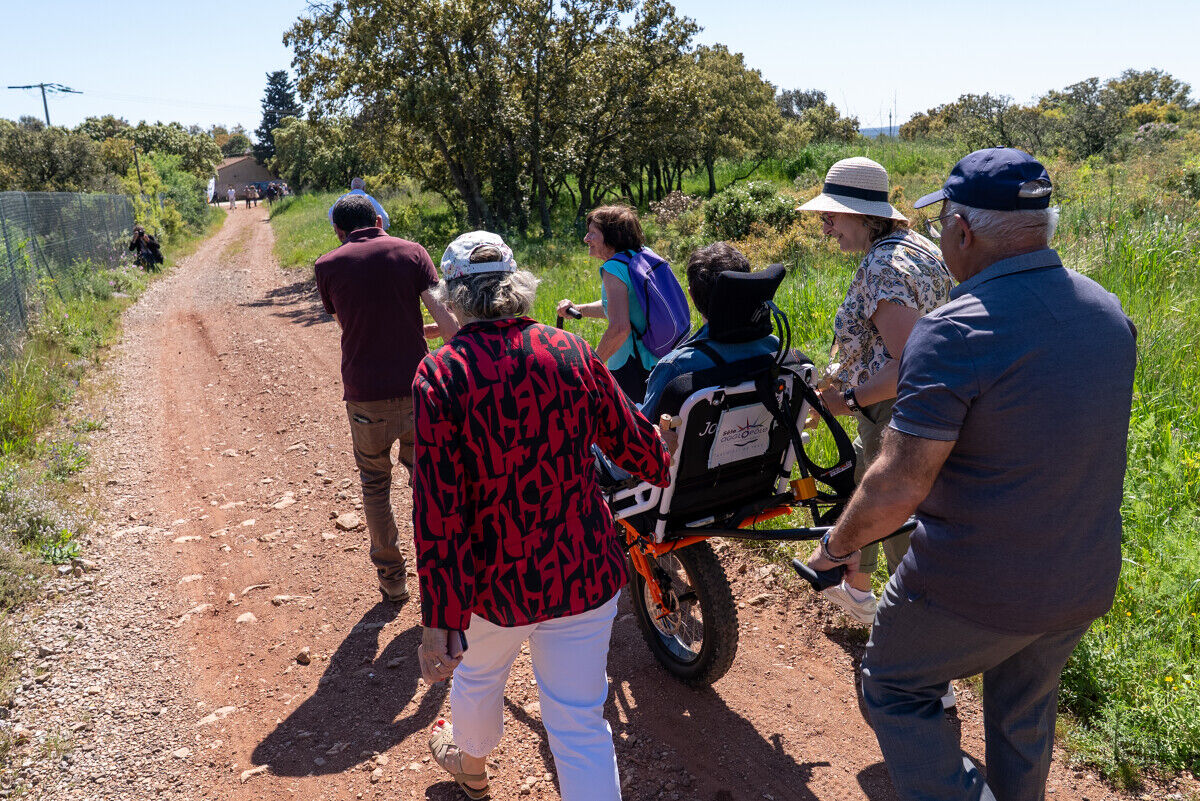
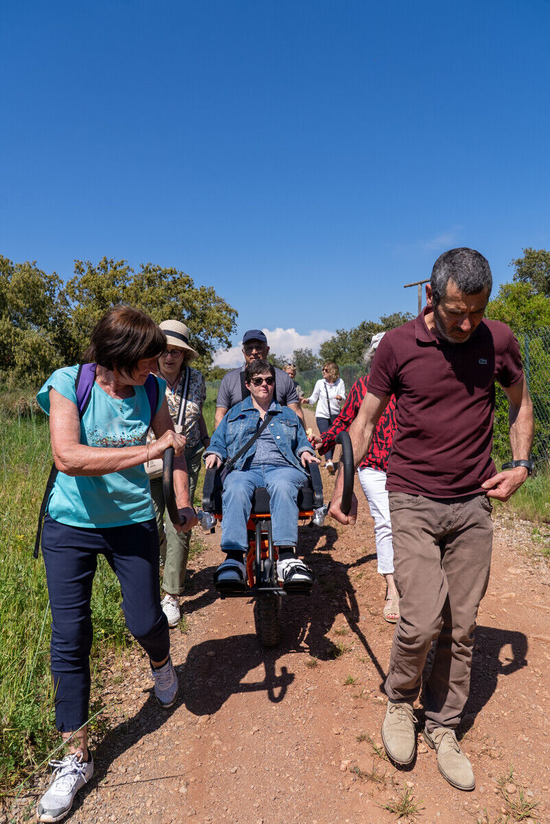
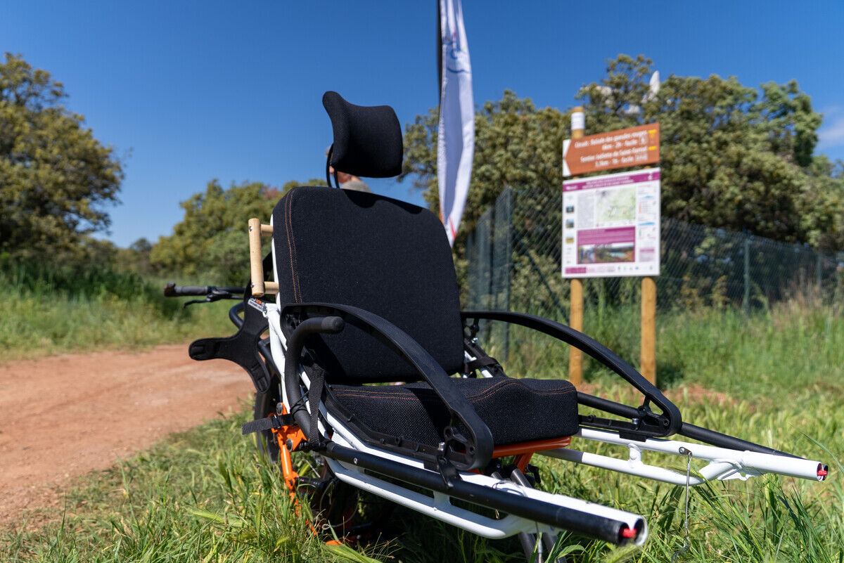
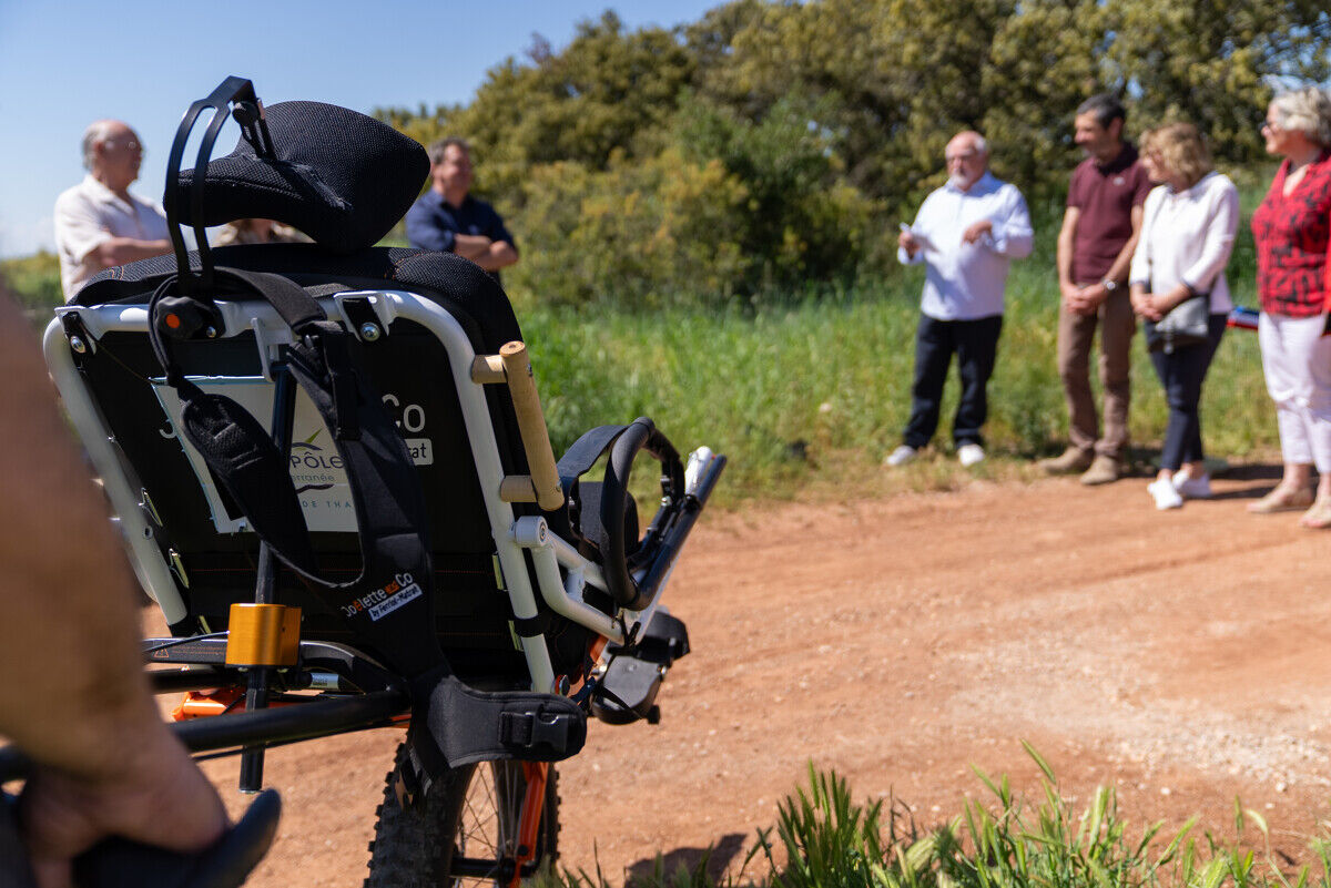
The joëlette, an all-terrain one-wheeled wheelchair, allows people with reduced mobility or motor disabilities to fully enjoy hiking thanks to the support of trained team members.


1
From the parking lot, go a few meters to the left, then immediately take the track on the right that runs along the fence. Follow it for about 350 m until the fork in the path.
2
Take the right to start the ascent. The path passes under the mound, then continues gently on the main track for about 700 m, until joining the main route at point 3.
3
Go up along the field following the main route markings. After about a hundred meters, turn left in front of the vineyard. At the track, take right to continue the ascent, then follow vineyards and meadows until reaching a T-junction.
4
Take the right direction to continue the route.
5
Let yourself be guided by the trail that continues on the right.
6
At the junction with the main route, head right and return to the starting parking area located 250 meters away.
7
You have arrived!
Da
Montpellier, M5, D2
The joëlette reservation must be made with the Mas Troquet association.
Bring a water supply for each participant and adjust your equipment according to the season, whether to protect yourself from the sun or the cold.
During hunting season, check with the town hall before your outing.
Respect the environment, close fences and be careful to preserve private properties, farms, and other users encountered on the route.
Mobile coverage is generally ensured throughout the journey.
Yellow PR
+33 6 17 66 63 76
PR - FFR
Priljubljeni izleti v okolici
-
5.0
SAINT ANTOINE HERMITAGE HIKE
svetlobaPohodništvo 9.91 km -
5.0
MOURE HILLS HIKE
srednjaPohodništvo 13.1 km -
4.0
BALCONS DE THAU HIKE
svetlobaPohodništvo 7.04 km -
RANDONNEE DES ARESQUIERS
svetlobaPohodništvo 9.85 km -
SAINT-FELIX EN GARDIOLE HIKE
srednjaPohodništvo 13.7 km -
OENORANDO® THE ART AND NATURE TRAIL
srednjaPohodništvo 15.7 km -
CYCLE LOOP No. 26 - THAU POND, ABBEY OF VALMAGNE AND PÉZENAS
srednjaKolesarjenje 63.1 km -
CIT'ART HIKE THE BELVEDERES OF LA GARDIOLE
srednjaPohodništvo 13.1 km -
VIA DOMITIA HIKE
svetlobaPohodništvo 4.95 km -
BALADE DES GUEULES ROUGES HIKING TRAIL
svetlobaPohodništvo 6.16 km
Pohodništvo in sledenje


Ne zamudite ponudb in navdiha za naslednje počitnice
Vaš e-poštni naslov je bil dodan na poštni seznam.





