






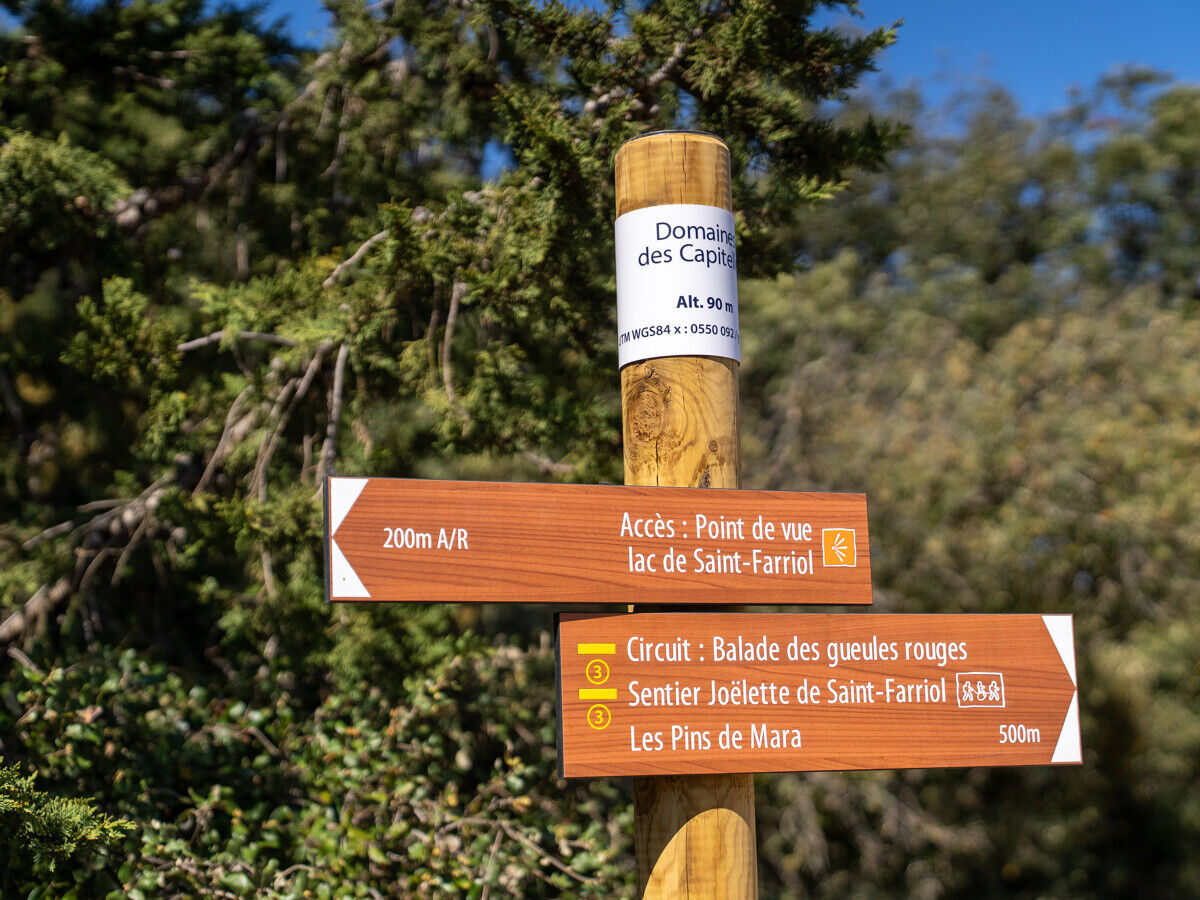
BALADE DES GUEULES ROUGES HIKING TRAIL
To the north of the Etang de Thau, you'll find the hills of La Moure. In the commune of Villeveyrac, you'll discover the Lac de Saint-Farriol, the garrigue and its capitelles, before plunging into the...
Views of the Saint-Farriol lake and the Villeveyrac plain are also accessible on a short version of the itinerary (Saint-Farriol joëlette trail - 3.3 km), for people with reduced mobility who must be accompanied by the Mas Troquet association with a joëlette.


1
From the parking lot, go left for a few metres and then immediately right onto the track that runs alongside the fence (edge of the center). Walk 350 m to the fork in the track.
2
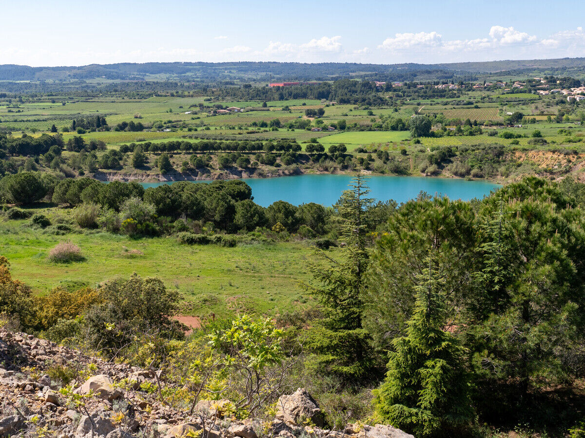
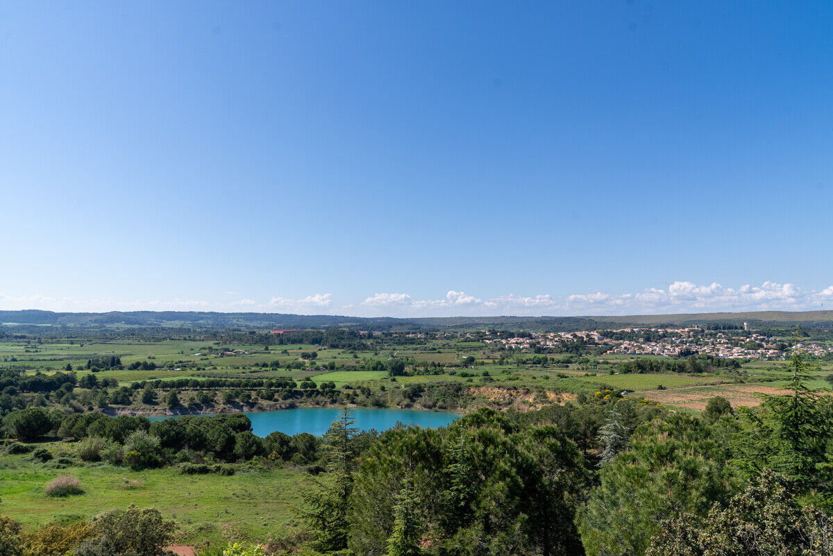
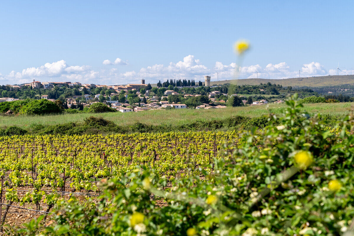
Go straight on for 200 m, then turn left up the hill (embankment planted with conifers: Aleppo pines, Cypresses, etc.), with a view of the Etang de Thau and Mont Saint-Loup in Agde. Pass a temporary natural pond, then turn left for a view of the Lac de Saint-Farriol, the village of Villeveyrac and its vineyards, the Causse d'Aumelas wind farm and the hill of La Moure. Pass a eucalyptus plantation and reach a track junction.
3
Go straight up along the field. 100 m further on, turn left in front of the vineyard. At the track, turn right. Pass vineyards and meadows, reaching a T-junction.
4
Continue straight ahead to a wide junction of DFCI tracks. Continue straight ahead into the Poussan communal forest (capitelles on the left), on the track lined with low walls.
5
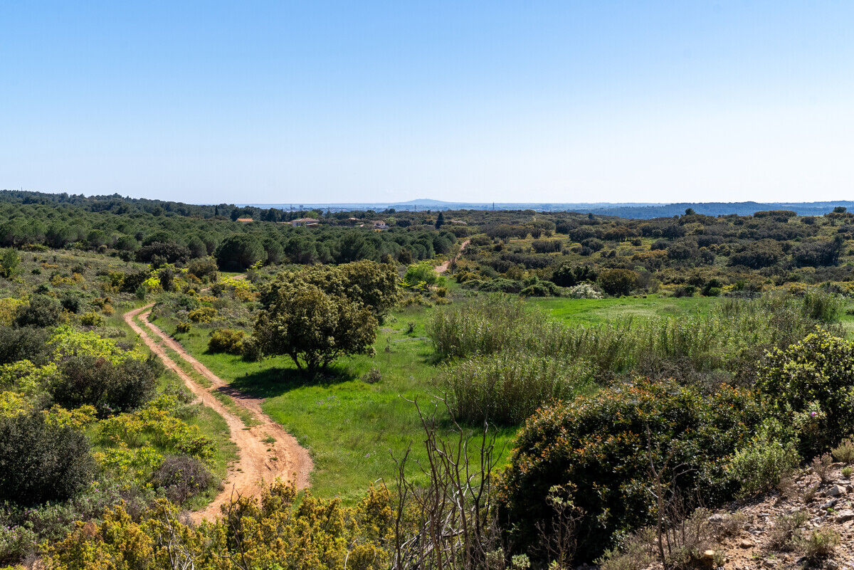
Opposite the Poussan quarry, leave the track and turn right up a stony track. 350 m further on, turn left onto a narrower path. Pass the summit of Puech Monier, then find a better-marked path (capitelle on the right). > You can go a few metres further left to enjoy the view. Go right, then immediately left, down the main path, facing Sète, the port and Mont Saint-Clair, the shellfish farms on Etang de Thau, the Lido and the Mediterranean Sea, Mèze and Agde on the right.
6
Turn right at the bottom. Walk 150 m to a T-junction, then head uphill through typical garrigue vegetation (rockrose, kermes oak, olive, juniper, thyme, etc.). Descend and, at a right-hand bend, leave the main path and take a narrower path winding through the garrigue. Cross the path, continue and come out on the left, facing a property wall.
7
Turn left. At the DFCI track, turn right. Follow the property wall. At the crossroads, go straight ahead and rejoin the starting point.
Bring a supply of water for each person. Protect yourself from the sun or cold, depending on the season. During hunting season, check with your local council. Respect the natural environment Close fences. Respect private property, farms and other users of the areas you cross.
Jaune PR
+33 4 67 43 93 08
Office de Tourisme Archipel de Thau Destination Méditerranée
PR - FFR
Priljubljeni izleti v okolici
- 5,0
SAINT ANTOINE HERMITAGE HIKE
svetlobaPohodništvo 9,91 km - 4,0
BALCONS DE THAU HIKE
svetlobaPohodništvo 7,04 km - 5,0
MOURE HILLS HIKE
srednjaPohodništvo 13,1 km RANDONNEE DES ARESQUIERS
svetlobaPohodništvo 9,85 kmSAINT-FELIX EN GARDIOLE HIKE
srednjaPohodništvo 13,7 kmOENORANDO® THE ART AND NATURE TRAIL
srednjaPohodništvo 15,7 kmCIT'ART HIKE THE BELVEDERES OF LA GARDIOLE
srednjaPohodništvo 13,1 kmCYCLE LOOP No. 26 - THAU POND, ABBEY OF VALMAGNE AND PÉZENAS
srednjaKolesarjenje 63,1 kmHIKING OF THE DOLMEN AND THE FOSSÉ DES YEUX
svetlobaPohodništvo 10,2 kmTHAU WINE ROUTE IN THE MEDITERRANEAN
svetlobaMotorno kolo 128,5 km

Pohodništvo in sledenje


Ne zamudite ponudb in navdiha za naslednje počitnice
Vaš e-poštni naslov je bil dodan na poštni seznam.





