






MOURE HILLS HIKE
WARNING (information April 2023): new starting parking. The signage in the village is being modified.
From Montbazin, head towards the foothills of the Aumelas plateau, the Moure hill and its panoramic...
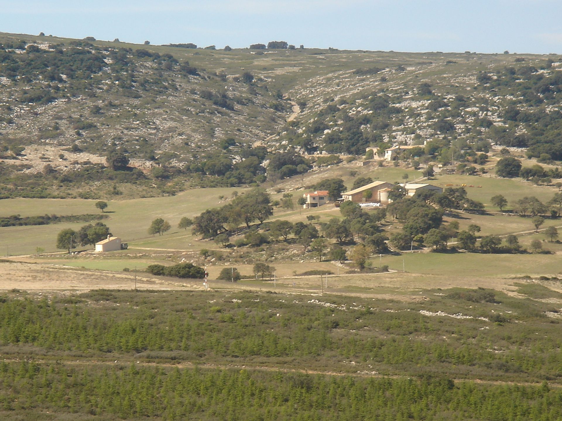
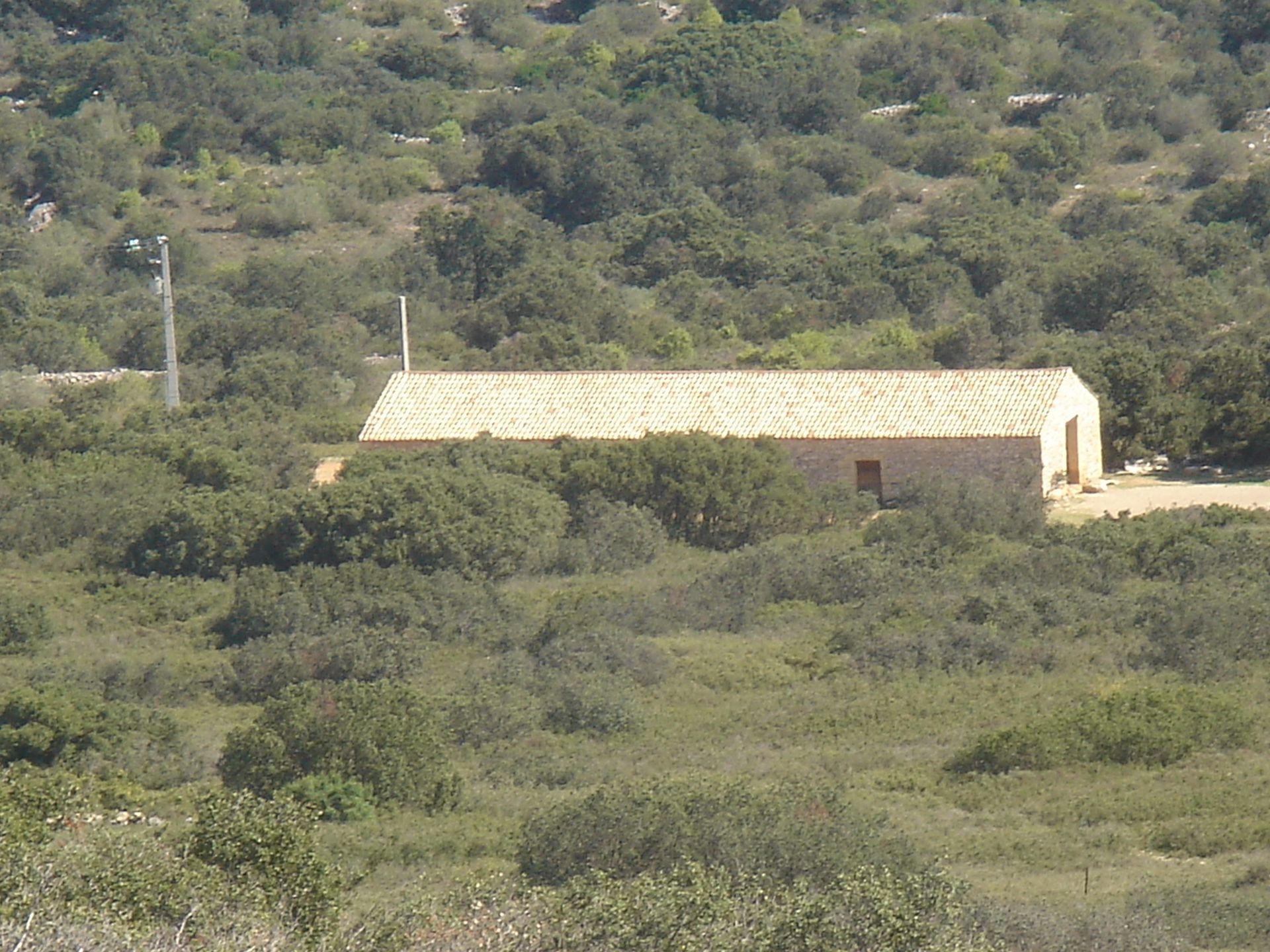
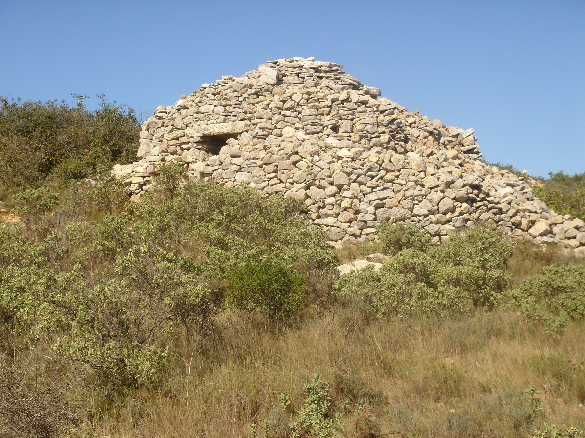
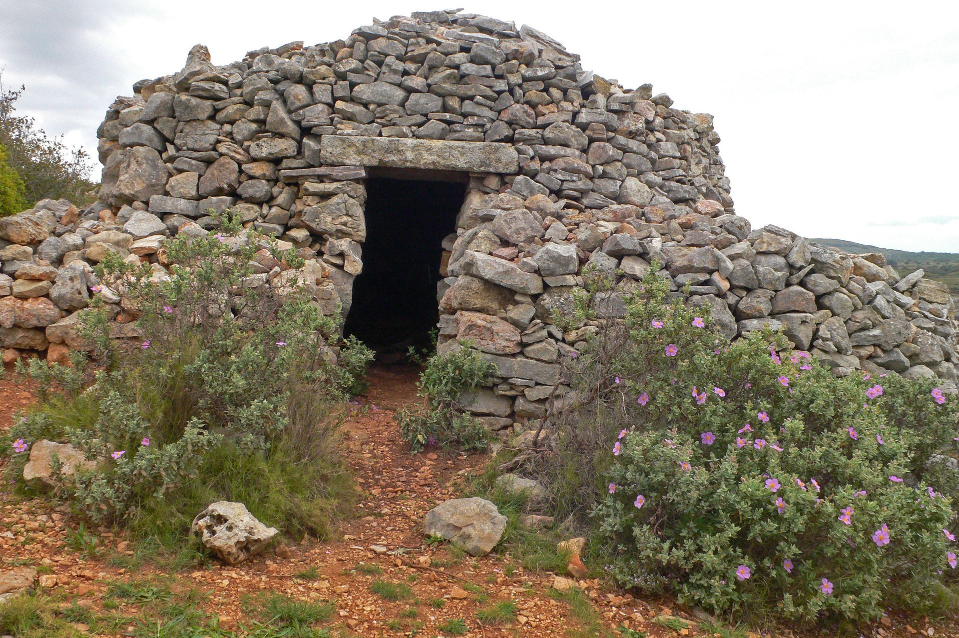
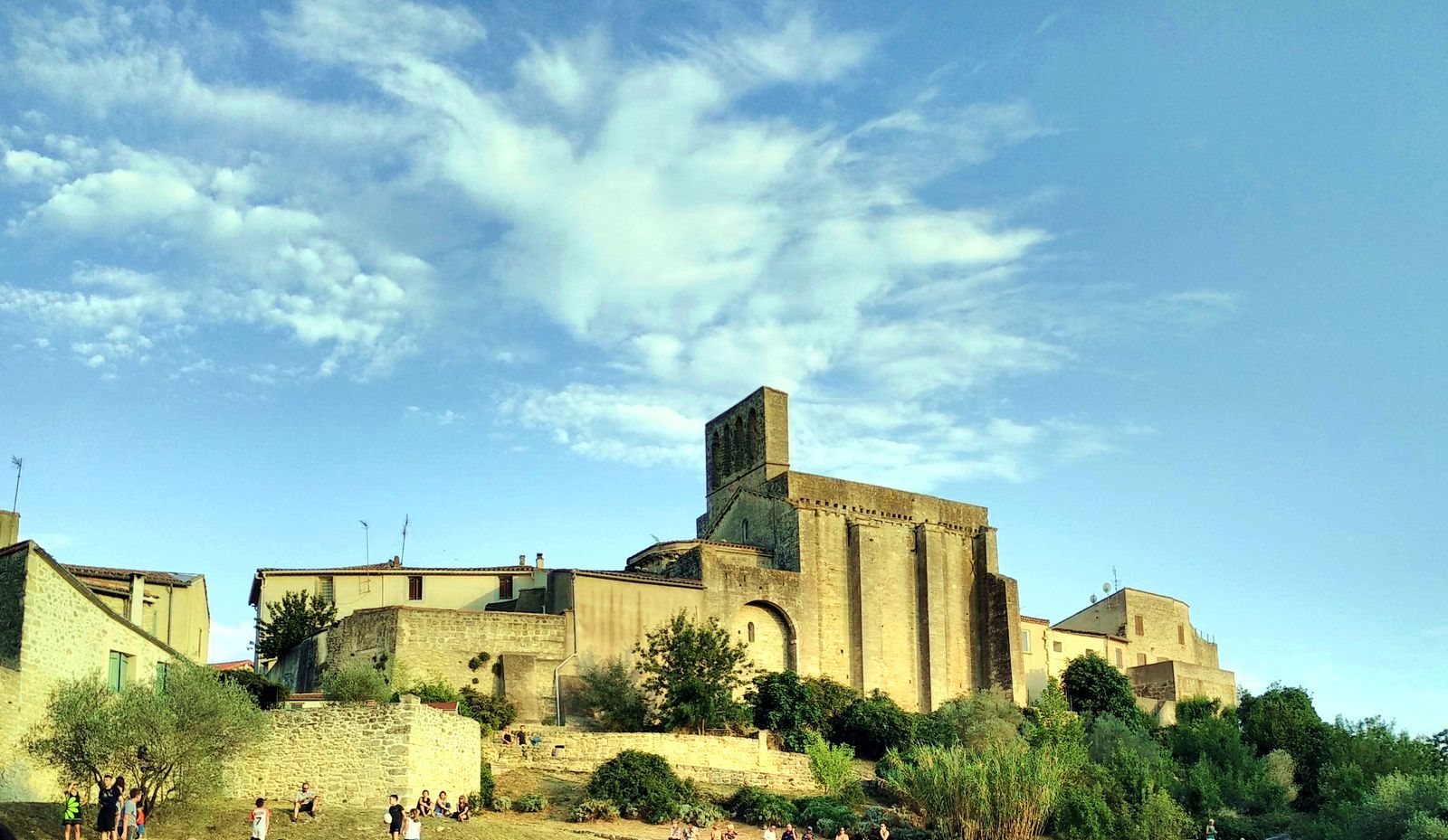
From Montbazin, head towards the foothills of the Aumelas plateau, the Moure hill and its panoramic 360° viewpoint, notably over Sète and the Étang de Thau. On the way discover pretty dry stone huts in the kermes oak garrigue.


1
1. From the parking, take a right on the footbridge. At the crossroads turn left into Rue du jeu de Ballons then turn right into Rue du Quai. After the bridge, take the Villeveyrac road (D 5) for 50m and turn right into the Antonègre path.
2
2. Continue on Antonègre path to leave the village. At the end, cross the road and take the path opposite. It rises for 400 m, then becomes a trail.
3
3. At the crossroads (house), take the path on the left for 400 m, then the road on the left.
4
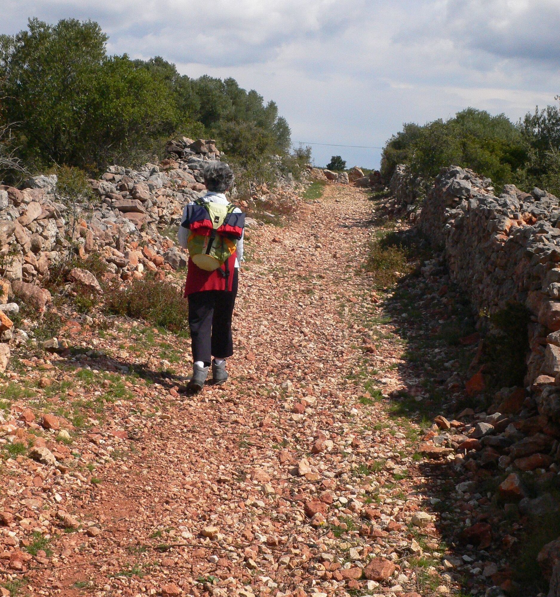
4. At the bend, take the track on the right for about one hundred meters, then take the path on the right. Further on, cross a track and continue straight on a wide stony path. Cross another track and continue straight ahead. The path, bordered by a low wall, follows the edge of the plateau in the garrigue (viewpoint, on the right over the wind farm, the limestone hills and cultivated plain, on the left over the old village of Montbazin). Descend towards the railway (caution: steep and rocky slope). Cross the intermittent stream, turn right and climb the trail to a well-preserved dry stone hut. Continue on the trail through the kermes oaks. Turn right onto a wide track towards the Pied de la Sellette ravine.
5
5. Cross the stream and climb the steep slope on the right. At the top, follow the path through the garrigue to the road. Head left for about 350 m along the right edge of the road.
6
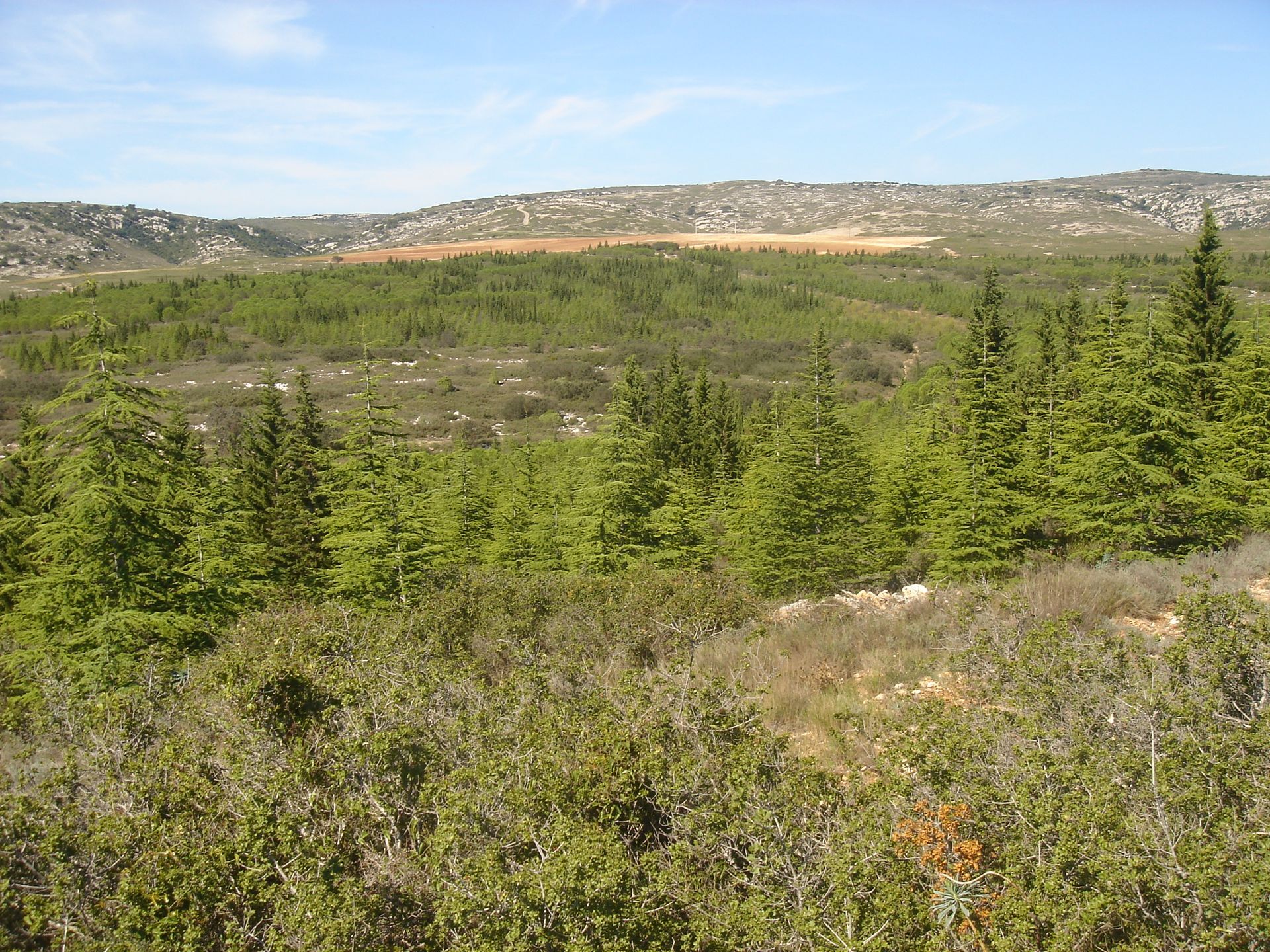
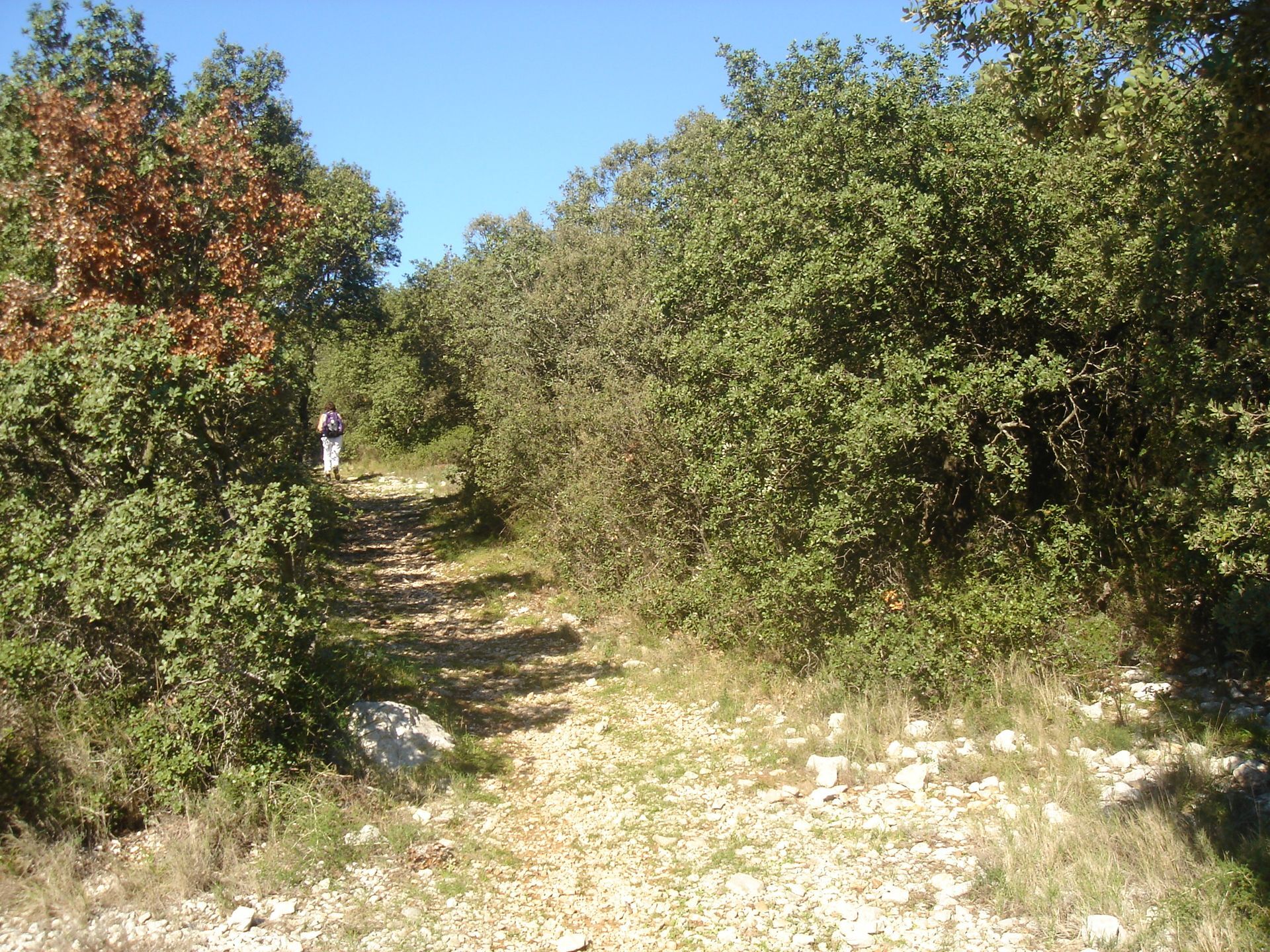
6. Leave the road on the right and continue along the trail through kermes oaks, it winds and leads to the Cristoulet ravine. Climb left along the Cristoulet ravine for 350 m. Take the track on the right for 200 m, then climb right via the firebreak. Follow the trail that rises along the ridge and reach the highest point of the hill (360° panoramic viewpoint). Descend directly by the trail to the Agas sheepfold and take the track on the right. At the crossroads, go straight on the track descending into the Baume valley, passes the side of the hollow, rises and reaches a junction of tracks. Take the track on the right. It borders the ravine.
7
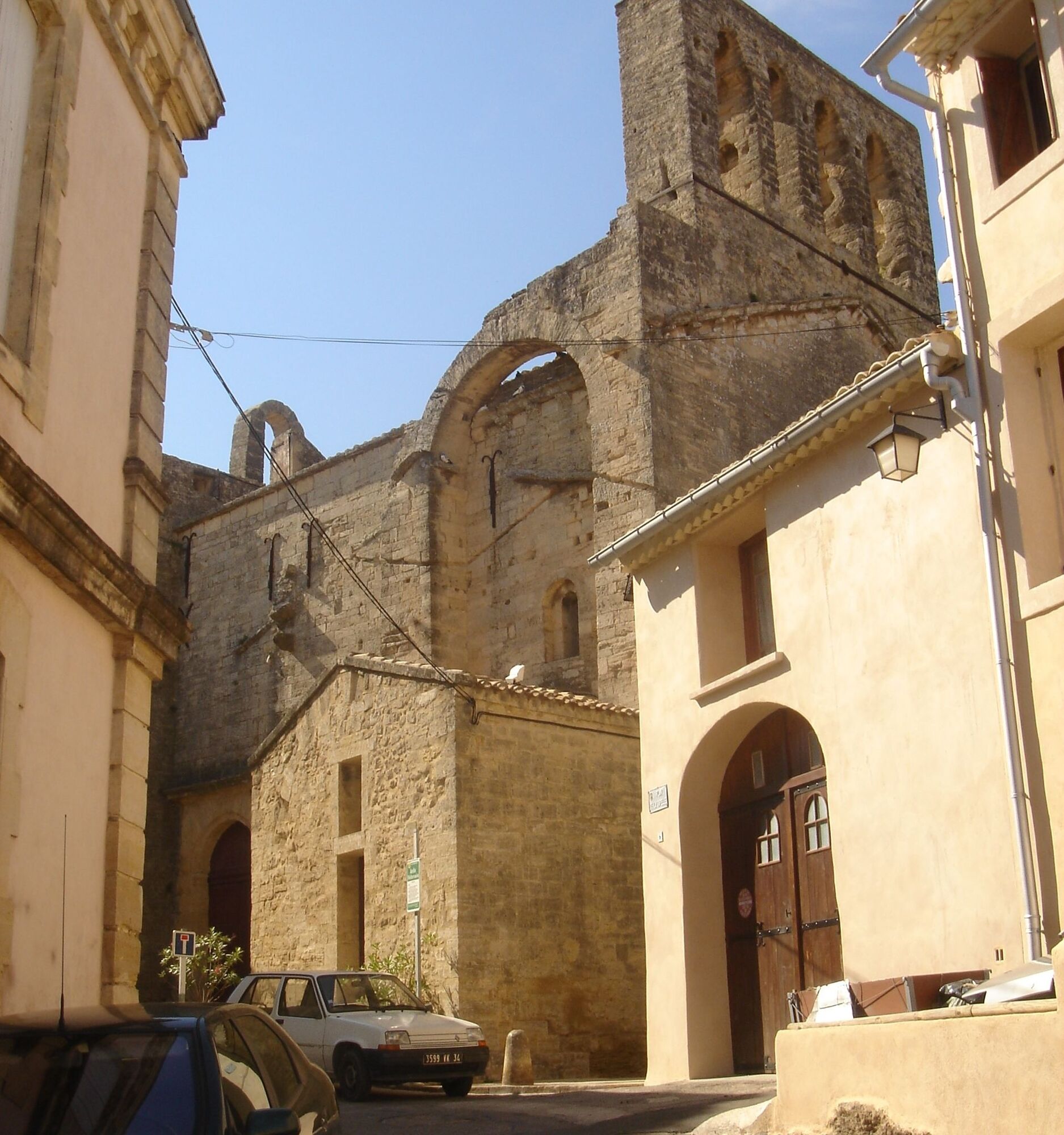
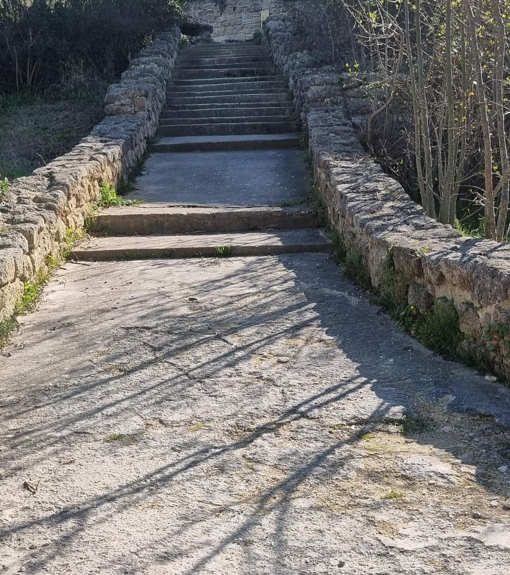
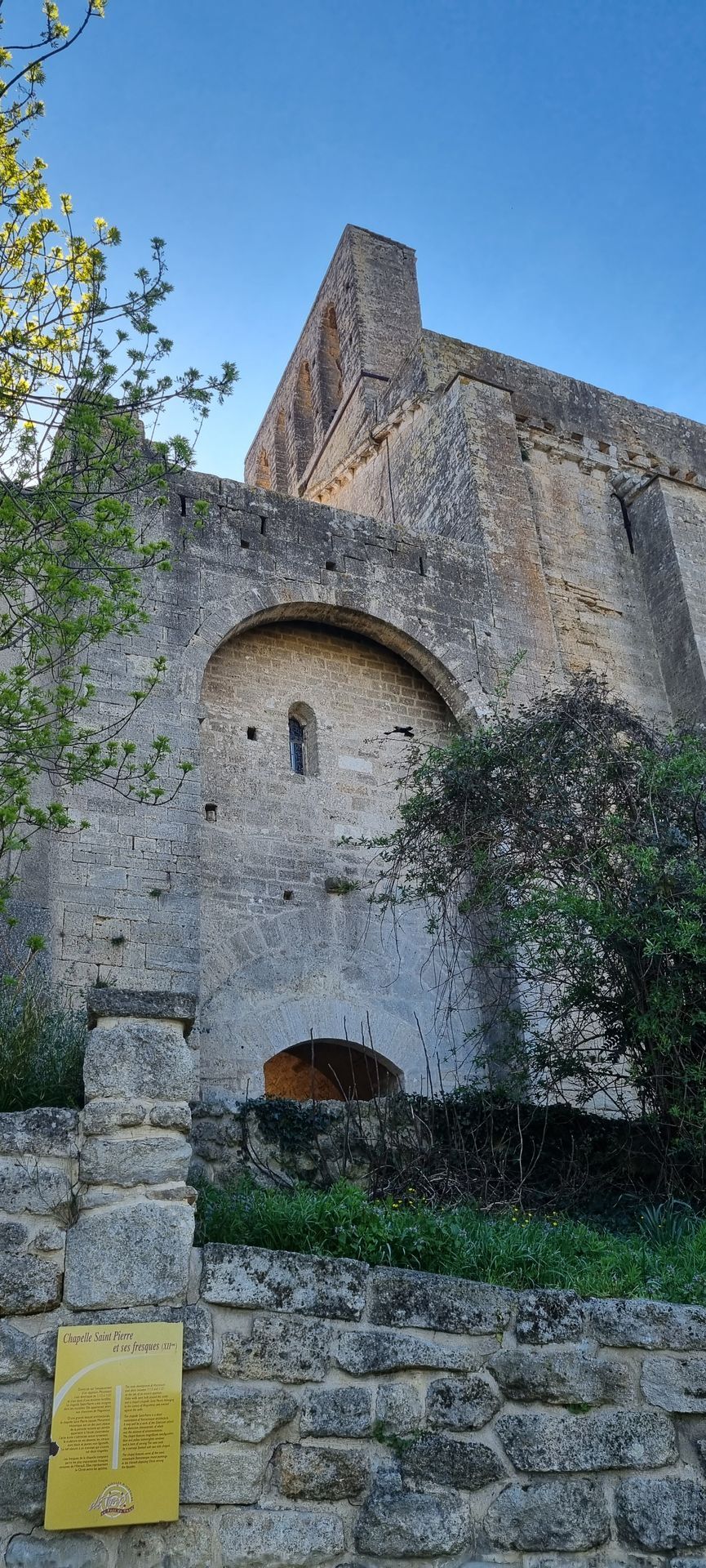
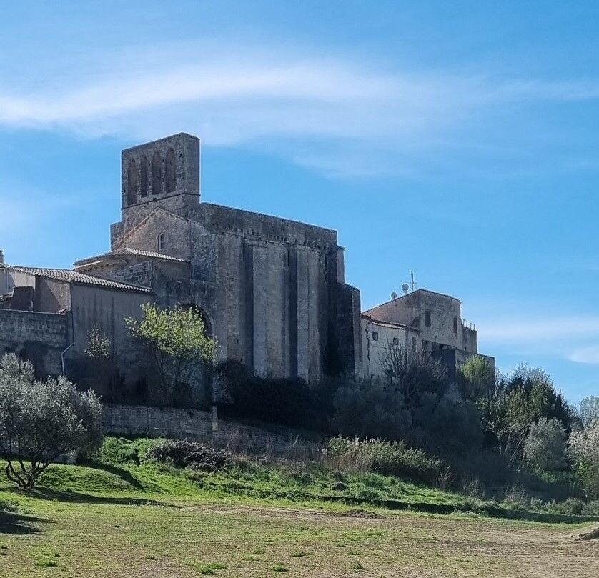
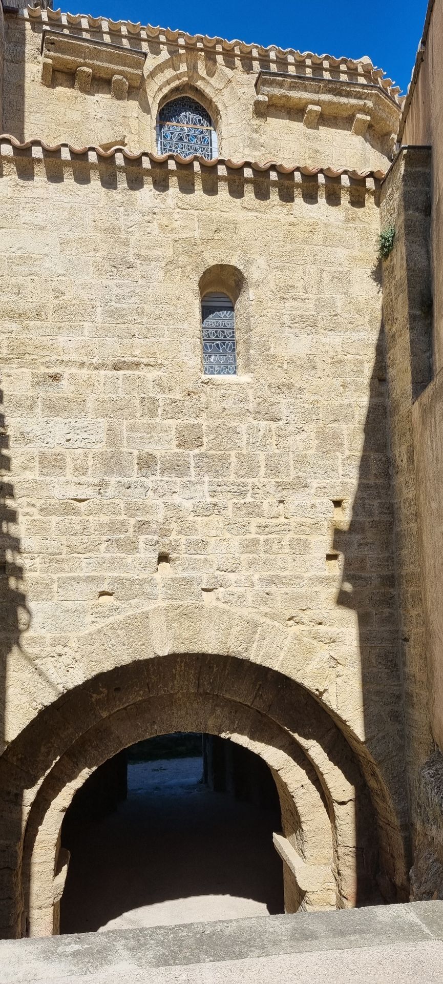
7. Take the track on the right, which borders the ravine. At the bend, turn right and descend into the ravine (view of Montbazin). Head left for 50 m, climb right on the other bank and reach the crossroads from before (stage 3). Turn left to descend back towards Montbazin. At point 2 again, turn left, cross D 5 and then take left Rue de la Devalade. After 150m, turn right under the gateway. Continue straight through the Mediterranean garden then ascend the steps on the left towards the St Pierre church of Montbazin. Continue left Rue de la Capelle, Rue du Four, Rue du Marché. Descend right Rue de la Carrierasse to return to the starting parking.
MONTBAZIN
MONTBAZIN
Be careful on the steep and rocky descent after stage 4.
Pasture (animals) between stages 5 and 6, make sure to close fences properly.
Stay on marked paths. Follow the signage carefully.
Plan sufficient water supply and protect yourself from the sun.
Wear hiking shoes suitable for the hike.
Respect the natural environment and private properties.
During hunting season, stay vigilant and respect signs indicating ongoing hunts: for any information, contact FDC34: 04 67 42 41 55, contact@fdc34.com, fdc34.com.
Yellow PR
+33 4 67 43 93 08
TOURIST OFFICE ARCHIPEL DE THAU MEDITERRANEE
PDESI

Priljubljeni izleti v okolici
- 4.0
BALCONS DE THAU HIKE
svetlobaPohodništvo 7.04 km RANDONNEE DES ARESQUIERS
svetlobaPohodništvo 9.85 kmOENORANDO® THE DRAGON TRAIL
srednjaPohodništvo 11.7 kmFROM MONTPELLIER TO SAINT-GUILHEM-LE-DÉSERT ON THE GR®653 ARLES WAY TO COMPOSTELA
srednjaPohodništvo 42.7 kmRANDONNEE DES SALINES
srednjaPohodništvo 16.0 kmSAINT-FELIX EN GARDIOLE HIKE
srednjaPohodništvo 13.7 kmCIT'ART HIKE THE BELVEDERES OF LA GARDIOLE
srednjaPohodništvo 13.1 kmBALADE DES GUEULES ROUGES HIKING TRAIL
svetlobaPohodništvo 6.16 kmHIKING OF THE DOLMEN AND THE FOSSÉ DES YEUX
svetlobaPohodništvo 10.2 kmTHAU WINE ROUTE IN THE MEDITERRANEAN
svetlobaMotorno kolo 128.5 km

Pohodništvo in sledenje


Ne zamudite ponudb in navdiha za naslednje počitnice
Vaš e-poštni naslov je bil dodan na poštni seznam.





