Chemin de la Transhumance Plateau de Beille - Val d'Incles
težko
Pridobite to turo v svoj mobilni telefon
Chemin de la Transhumance Plateau de Beille - Val d'Incles
težko
Pohodništvo
37,15
km
Skenirajte kodo QR in začnite navigacijo v aplikaciji bergfex.


Pohodništvo in sledenje





Chemin de la Transhumance Plateau de Beille - Val d'Incles
težko
Razdalja
37,15
km
Trajanje
05:00
h
Ascent
1.973
hm
Morska gladina
1.837 -
2.436
m
Prenos skladbe
Chemin de la Transhumance Plateau de Beille - Val d'Incles
težko
Pohodništvo
37,15
km
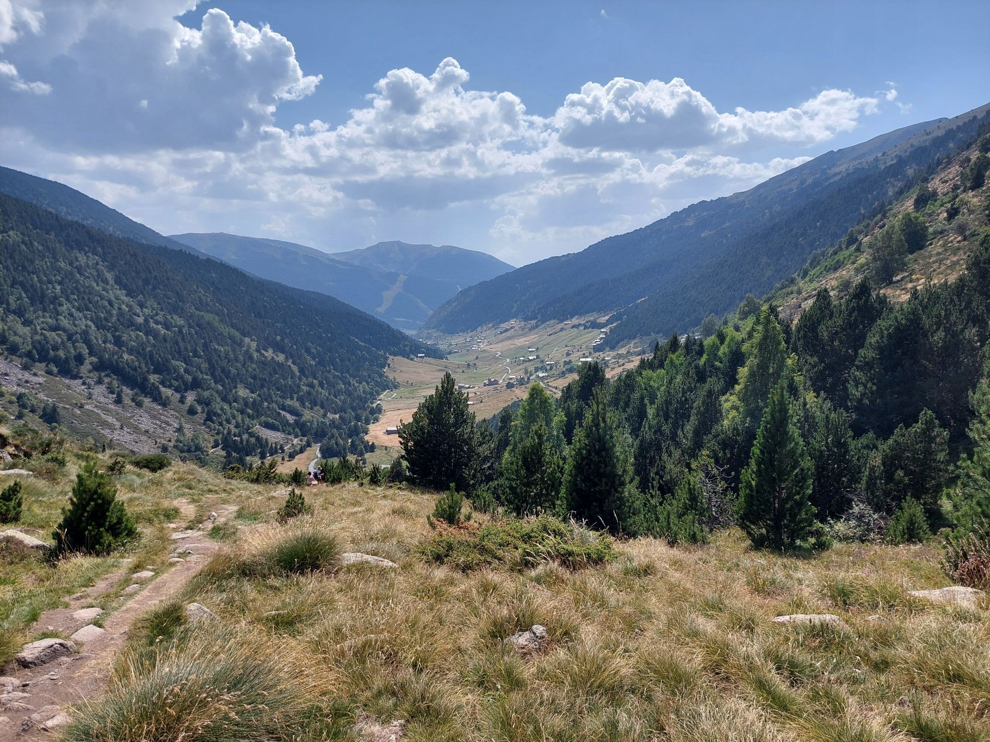
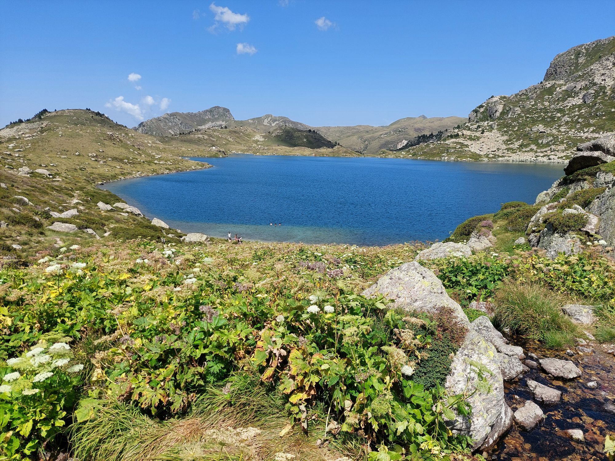
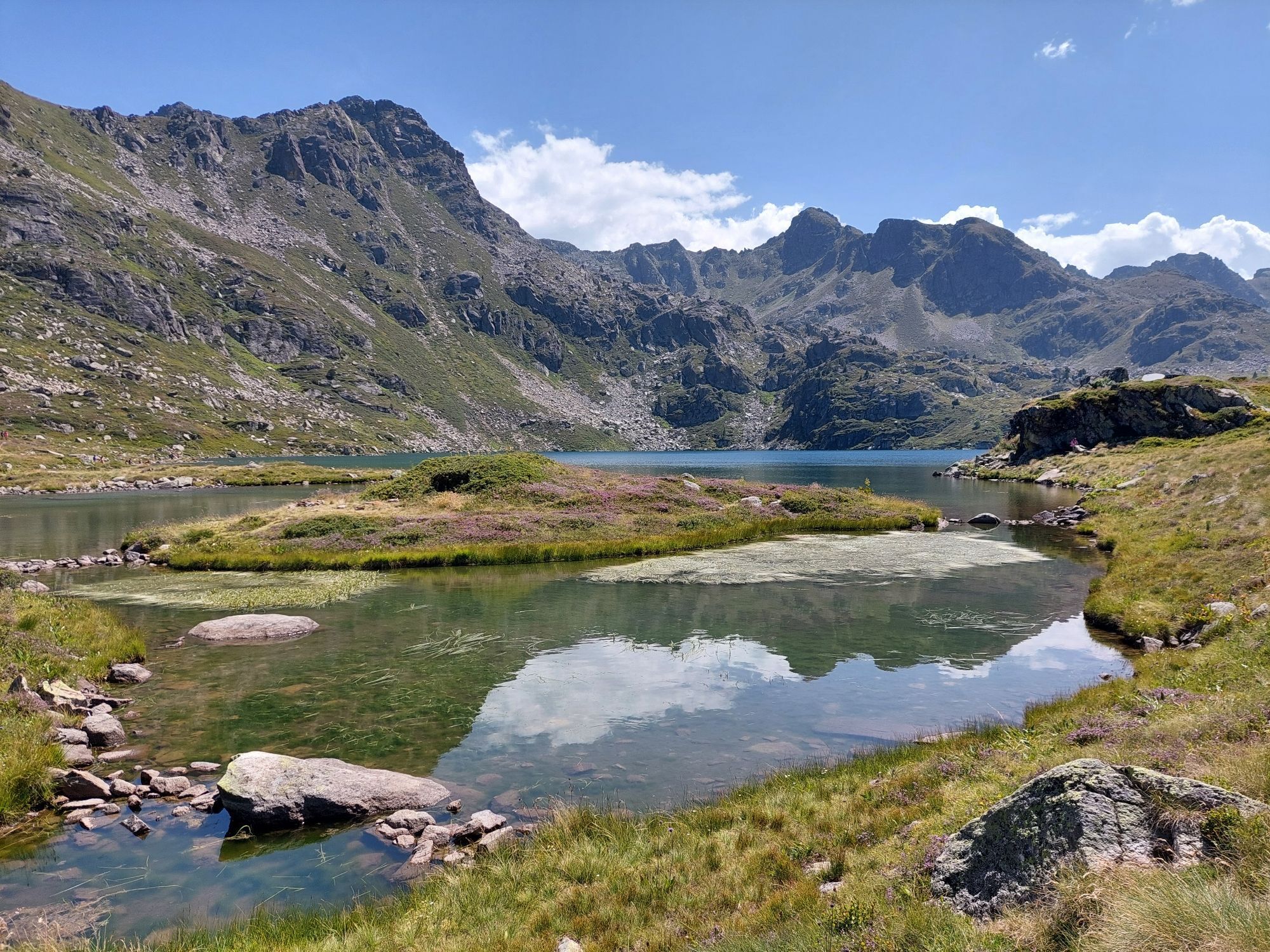
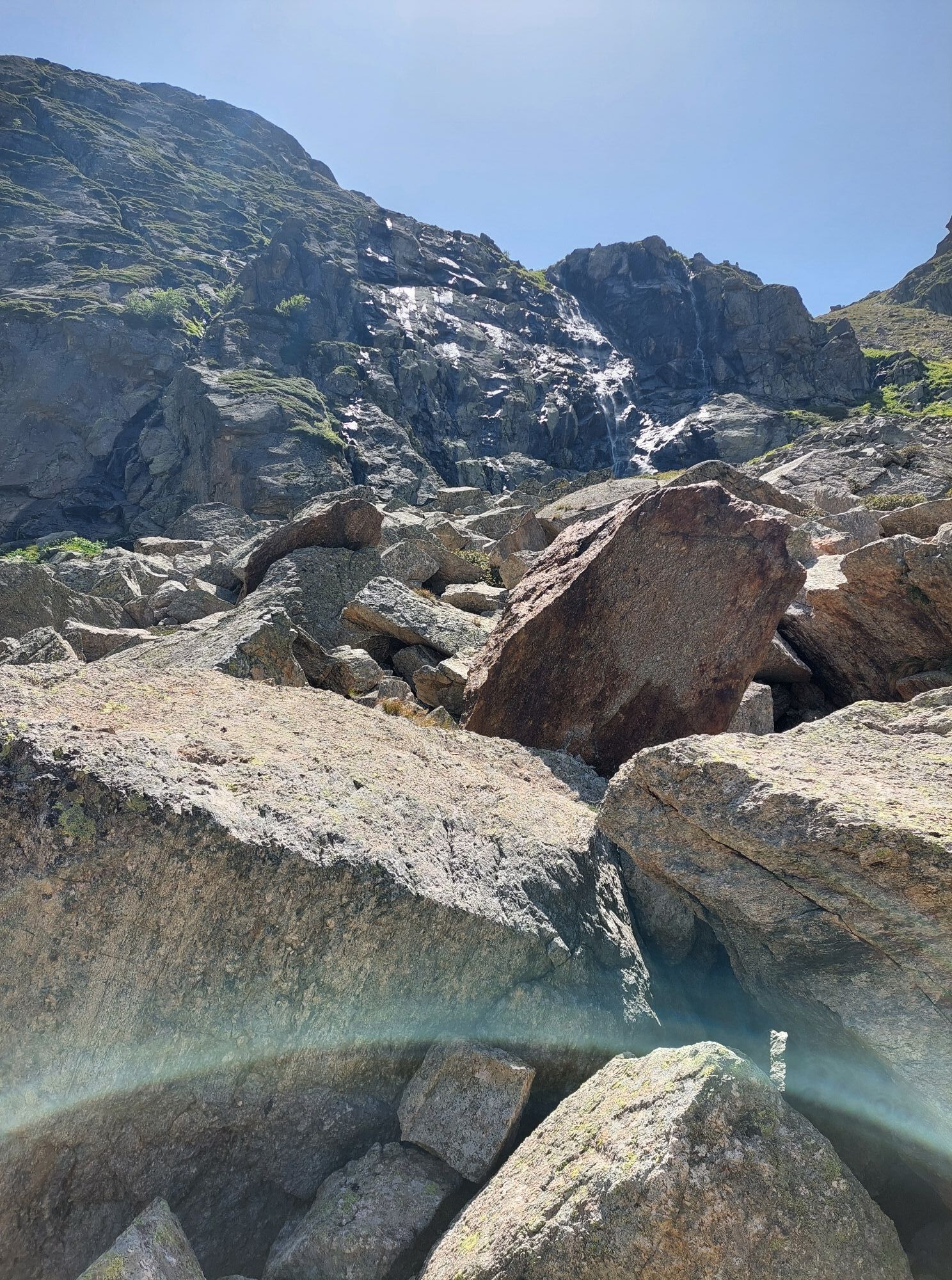
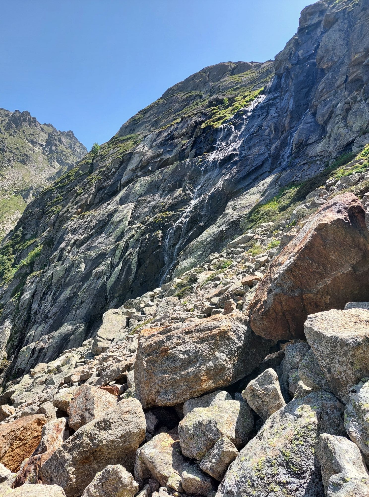
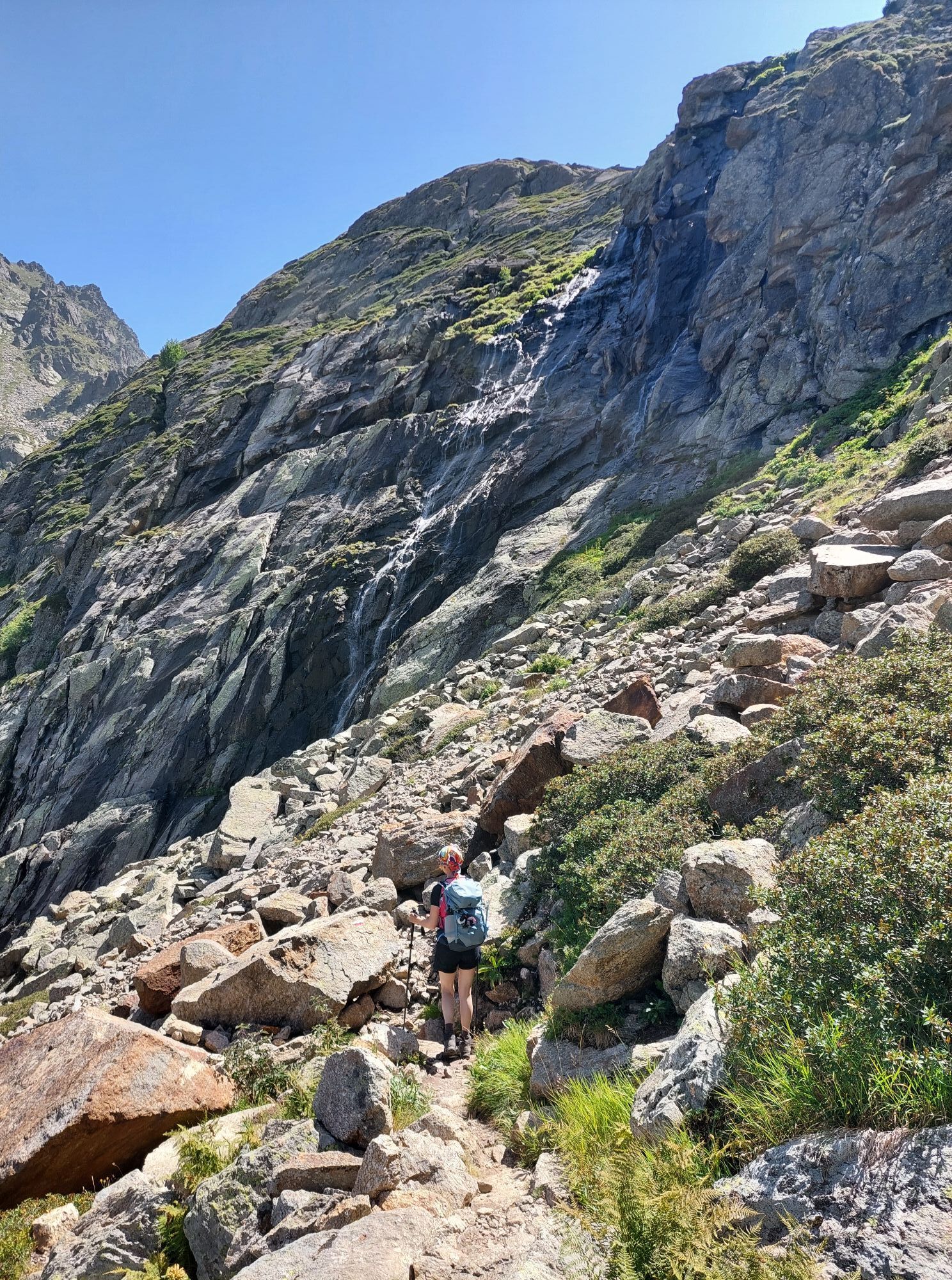
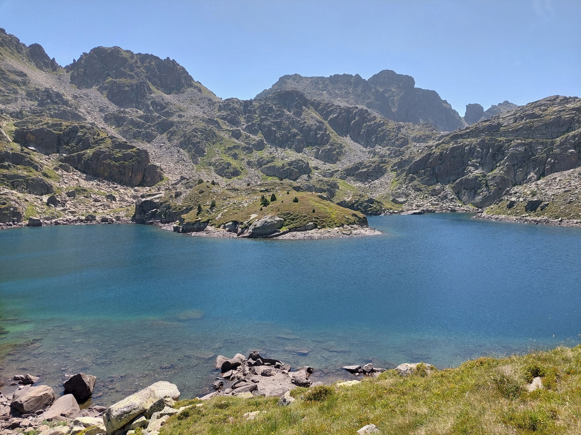
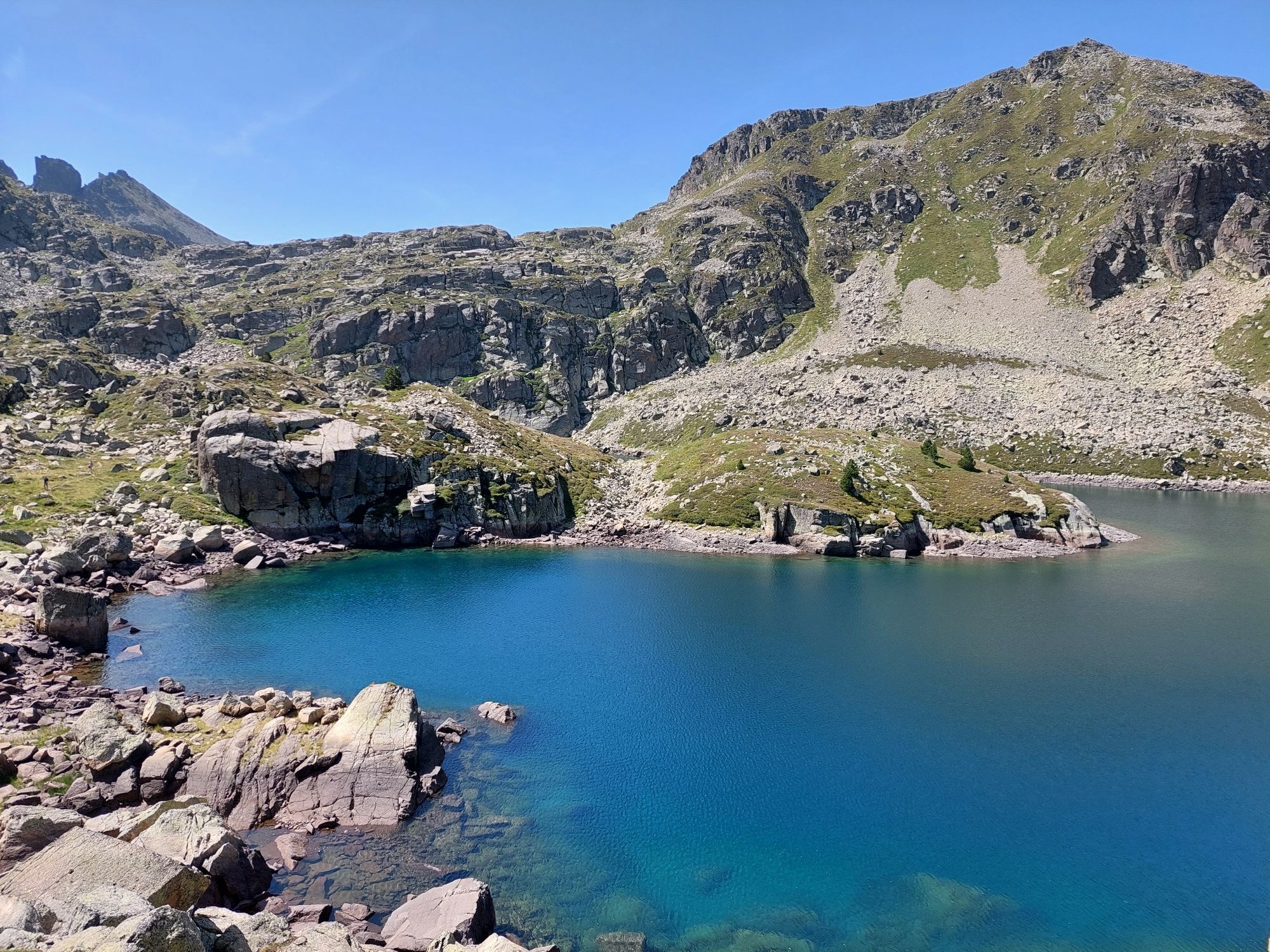
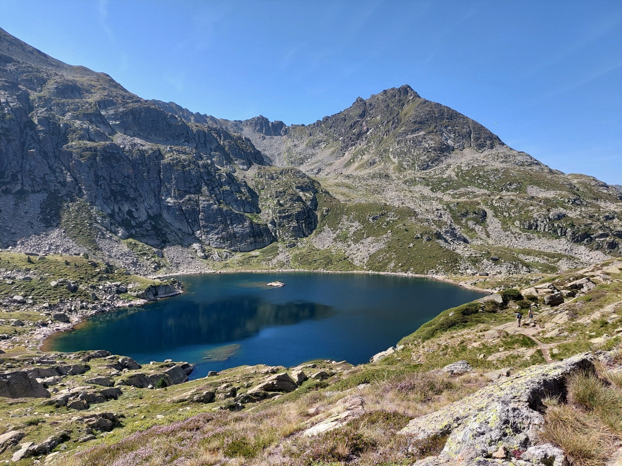
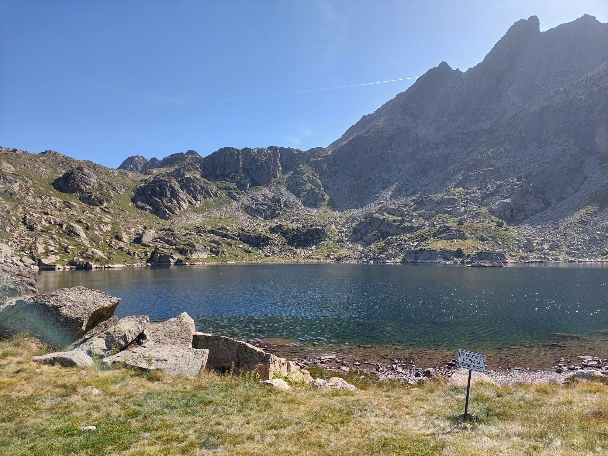
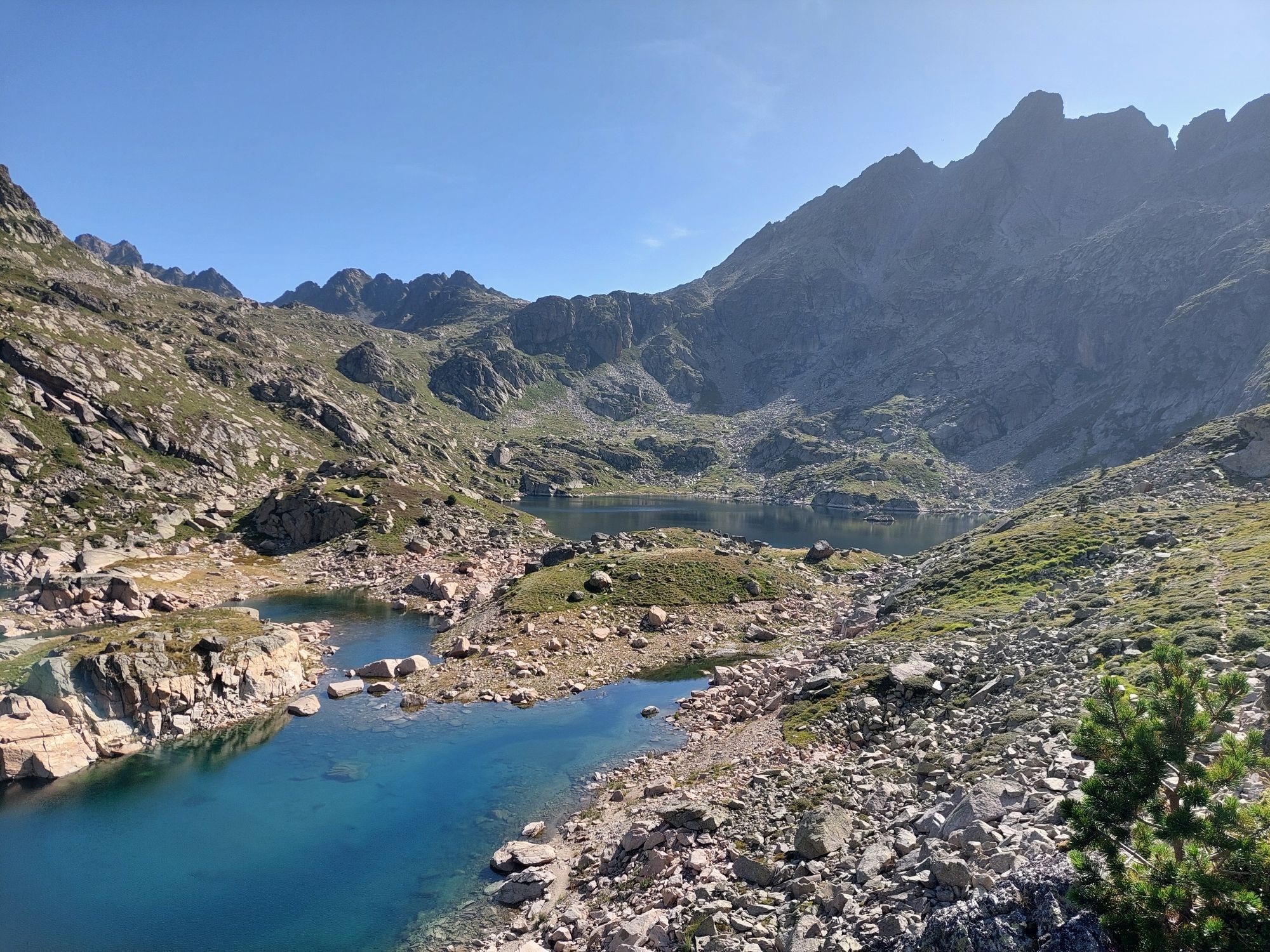
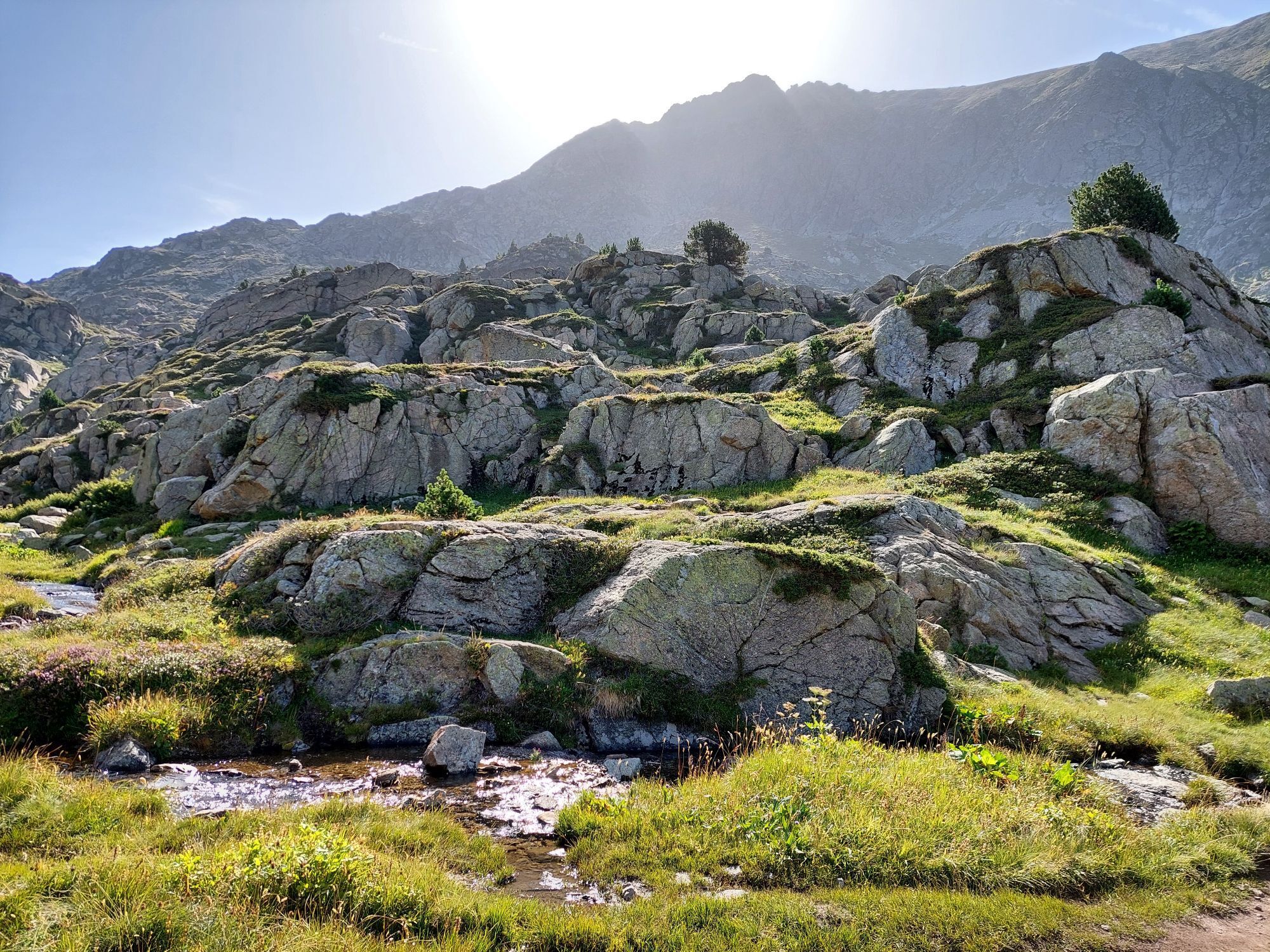
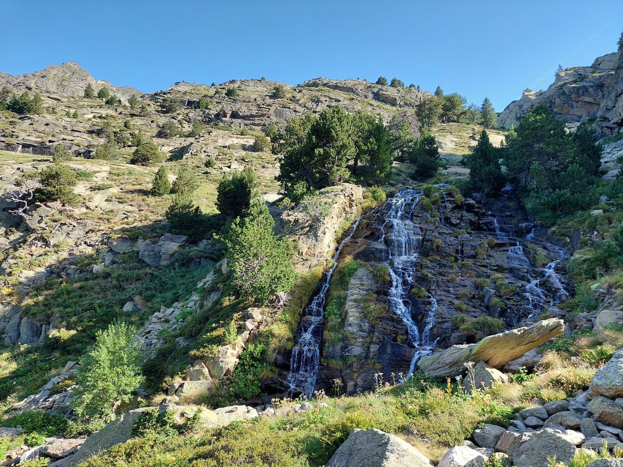
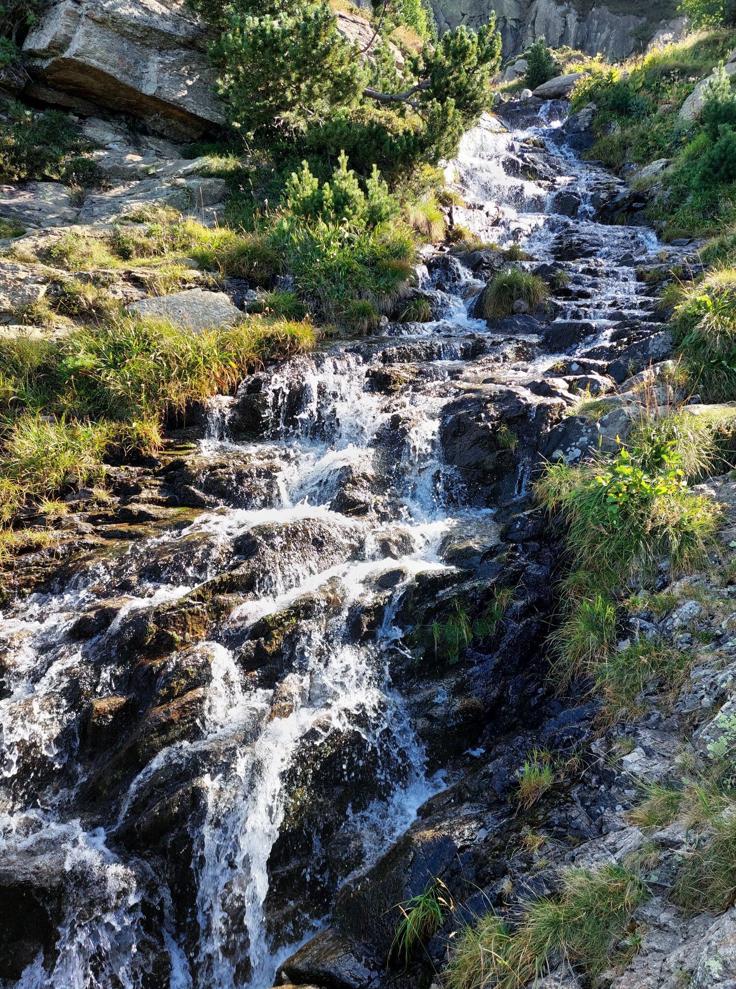
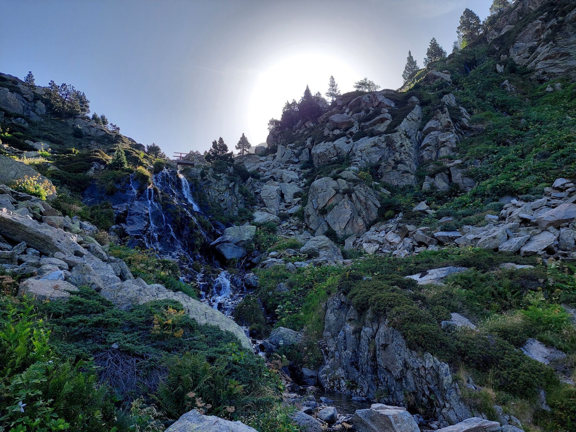
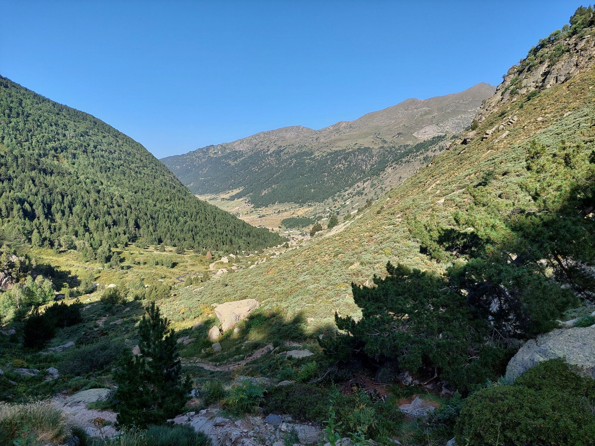
From Ax, head for Tarascon sur Ariège. Continue on the N20 to the village of Les Cabannes. From this village, head for the Plateau de Beille via the D522. The hike starts from the Plateau de Beille parking...
Opis
From Ax, head for Tarascon sur Ariège. Continue on the N20 to the village of Les Cabannes. From this village, head for the Plateau de Beille via the D522. The hike starts from the Plateau de Beille parking lot.
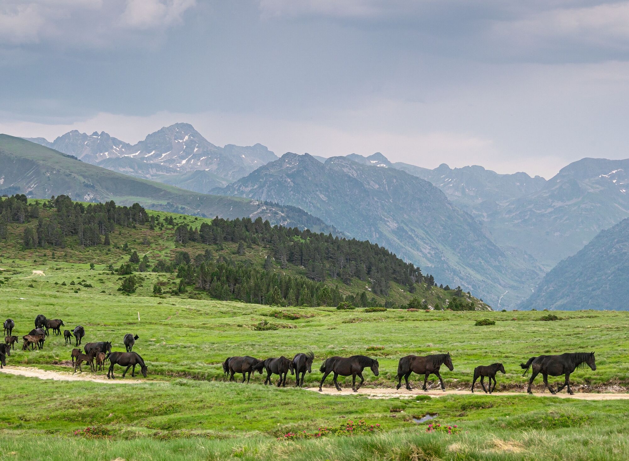
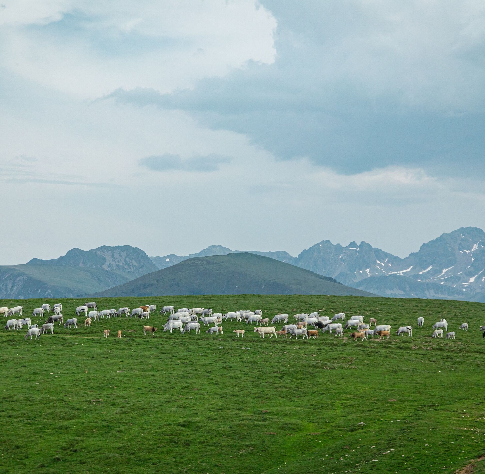
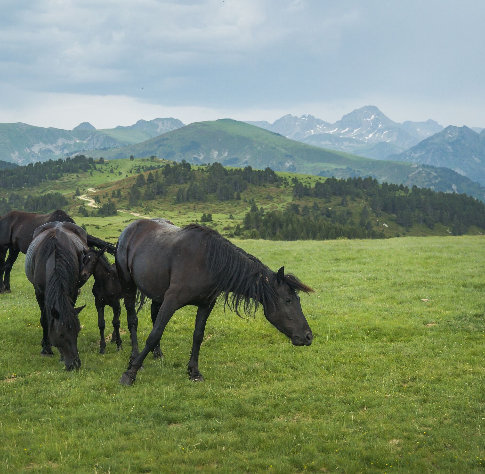
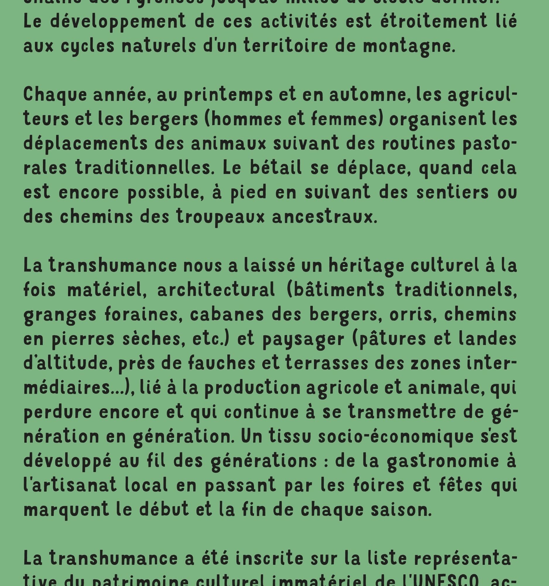
Every year, in spring and autumn, farmers and shepherds (men and women) organize the movement of their animals according to traditional pastoral routines. Whenever possible, livestock move on foot, following the paths and tracks of ancestral herds. Transhumance has left us a cultural heritage that is both material and architectural (traditional buildings, barns, shepherds' huts, orris, dry-stone paths, etc.), as well as landscape (highland pastures and heaths, hay meadows and terraces in intermediate areas, etc.), linked to agricultural and livestock production, which still endures and continues to evolve.
and continues to be passed down from generation to generation.
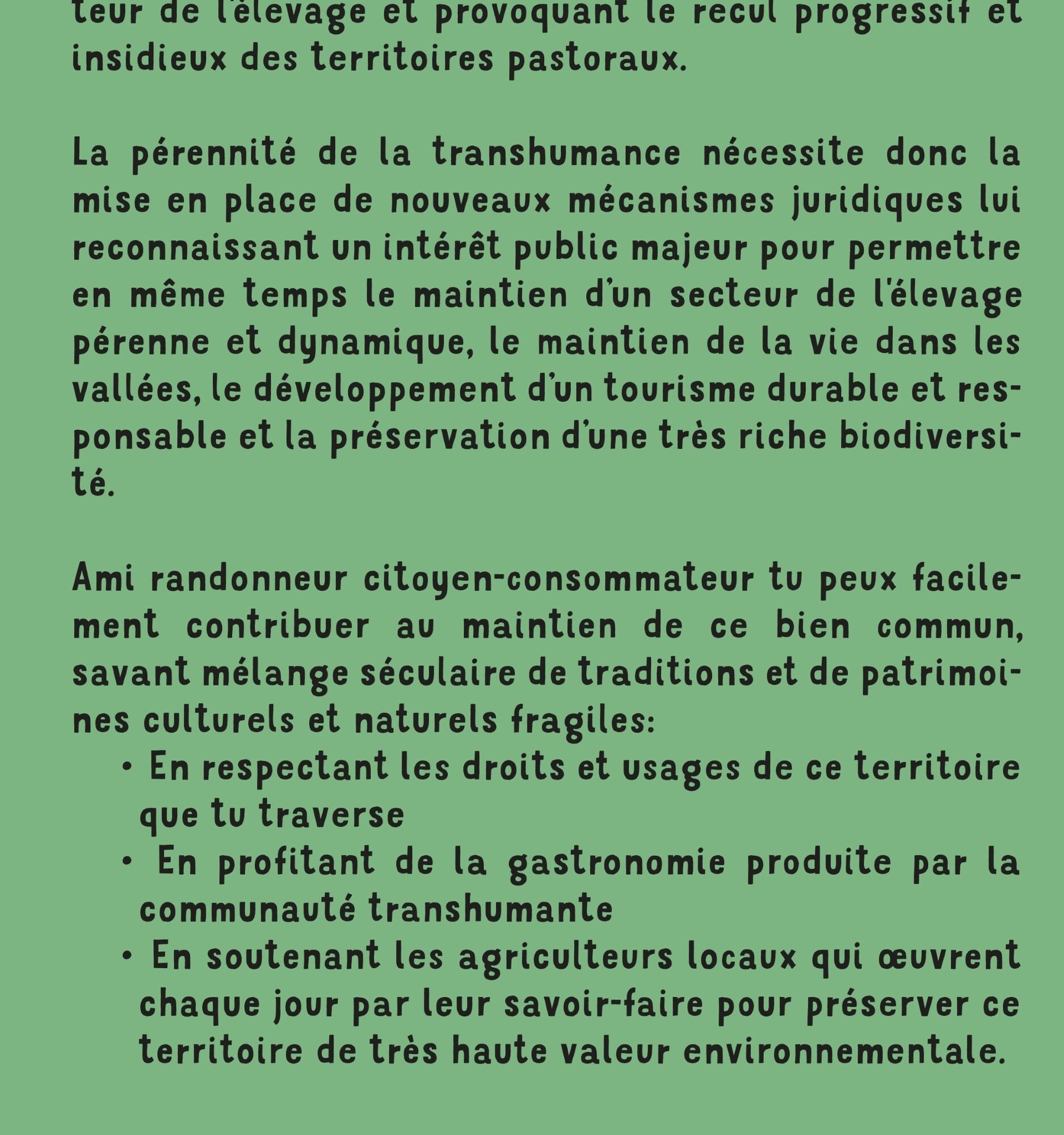
All this by following the following best practices: https://www.ariegepyrenees.com/preparer/randonner/montagne-mode-demploi/
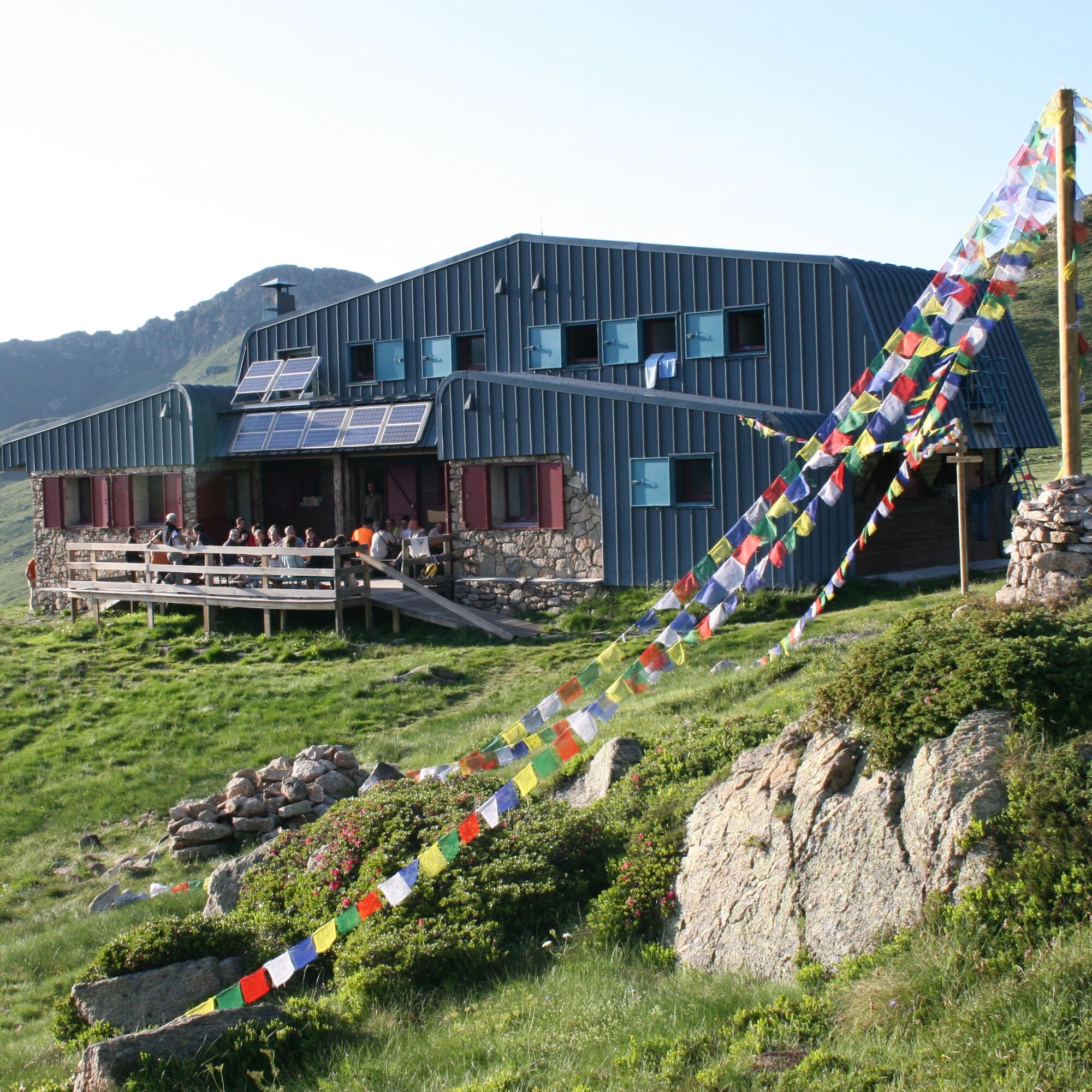
Book a night in one of our refuges:
http://www.refugidejuclar.com/
https://rulhe.com/
Every year, in spring and autumn, farmers and shepherds (men and women) organize the movement of their animals according to traditional pastoral routines. Whenever possible, livestock move on foot, following the paths and tracks of ancestral herds. Transhumance has left us a cultural heritage that is both material and architectural (traditional buildings, barns, shepherds' huts, orris, dry-stone paths, etc.), as well as landscape (highland pastures and heaths, hay meadows and terraces in intermediate areas, etc.), linked to agricultural and livestock production, which still endures and continues to evolve.
and continues to be passed down from generation to generation.
All this by following the following best practices: https://www.ariegepyrenees.com/preparer/randonner/montagne-mode-demploi/
Book a night in one of our refuges:
http://www.refugidejuclar.com/
https://rulhe.com/
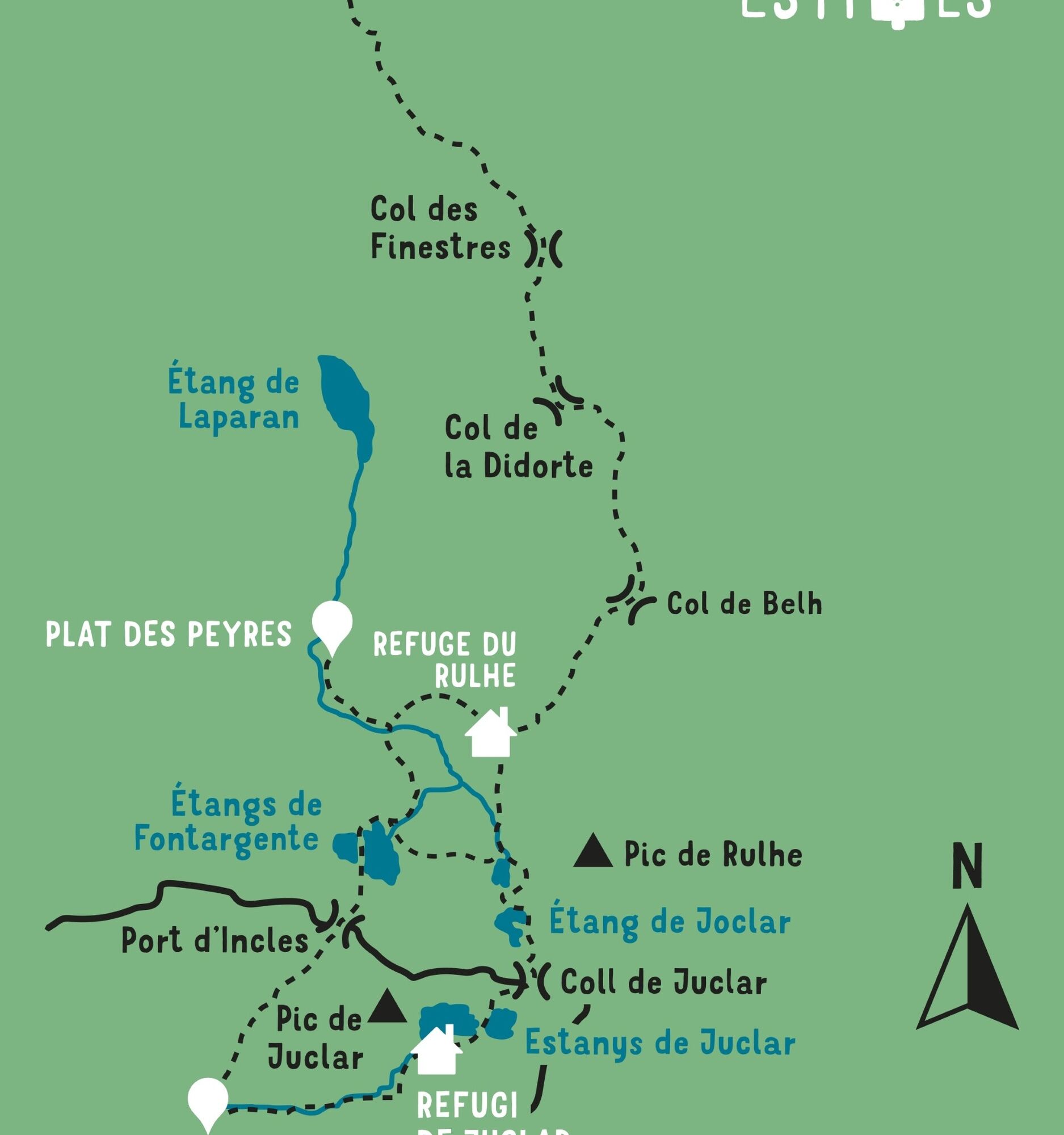
Pot
Prat Moll
(1.999 m)
Vrh
2,6 km
Col du Rieutort
(2.250 m)
Gorsko sedlo
9,6 km
Col de Belh
(2.220 m)
Gorsko sedlo
10,2 km
Refuge du Rulhe
(2.189 m)
Zavetišče
10,5 km
Pont de la Baladosa
(1.839 m)
Koridor/teren
17,6 km
Refugi de Juclar
(2.311 m)
Zavetišče
21,0 km
Prat Moll
(1.999 m)
Vrh
34,4 km
Pot
Chemin de la Transhumance Plateau de Beille - Val d'Incles
težko
Pohodništvo
37,15
km
Plateau de Beille
(1.937 m)
Koridor/teren
0,0 km
Prat Moll
(1.999 m)
Vrh
2,6 km
Col du Rieutort
(2.250 m)
Gorsko sedlo
9,6 km
Col de Belh
(2.220 m)
Gorsko sedlo
10,2 km
Refuge du Rulhe
(2.189 m)
Zavetišče
10,5 km
Source d'eau
(2.151 m)
Vir:
10,9 km
l'Ovella Negra
(1.838 m)
Restavracija
17,6 km
Pont de la Baladosa
(1.839 m)
Koridor/teren
17,6 km
Font del Travenc
(1.940 m)
Vir:
18,5 km
Picnic del Travenc
(1.929 m)
Koridor/teren
18,5 km
Cascada del Juclar
(2.176 m)
Slap
19,7 km
Refugi de Juclar
(2.311 m)
Zavetišče
21,0 km
Source d'eau
(2.151 m)
Vir:
26,2 km
Refuge du Rulhe
(2.189 m)
Zavetišče
26,5 km
Col de Belh
(2.220 m)
Gorsko sedlo
26,8 km
Col du Rieutort
(2.250 m)
Gorsko sedlo
27,4 km
Prat Moll
(1.999 m)
Vrh
34,4 km
Plateau de Beille
(1.937 m)
Koridor/teren
36,9 km
Avtor
Zagotavlja Ariège Pyrénées Tourismus
Za ogled Chemin de la Transhumance Plateau de Beille - Val d'Incles poskrbi outdooractive.com.


Informacije o poti
Pot
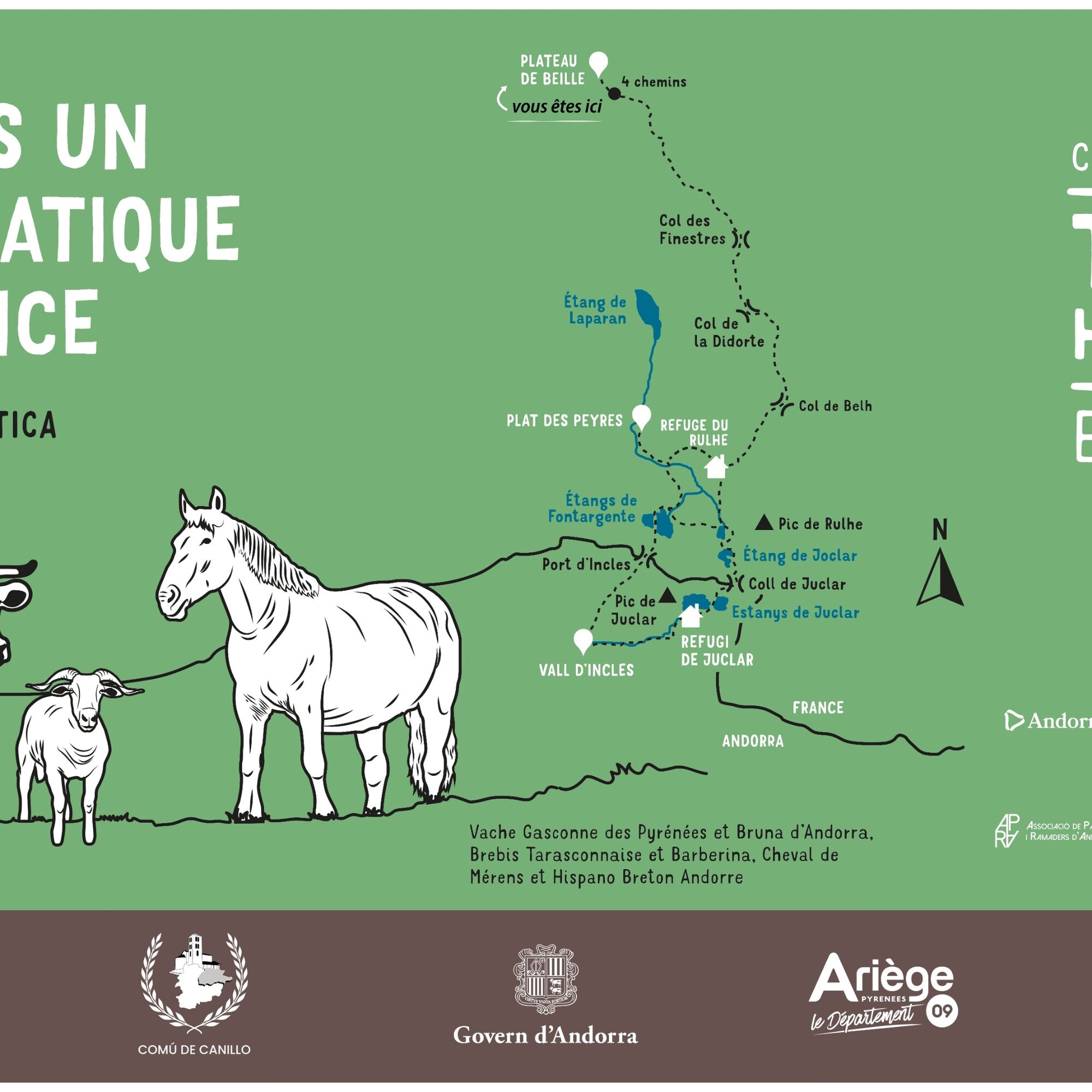
STAGE 1: PLATEAU DE BEILLE - REFUGE DU RULHE Walking time: 5h - Distance: 11 km Vertical rise +/-: 620m / 370m
STAGE 2: REFUGE DU RULHE - FONTARGENTE - VAL D'INCLES - REFUGE DE JOCLAR Walking time: 5h30 - Distance: 11 km Vertical rise +/-: 630m / 510m
STAGE 3: REFUGE DE JOCLAR - REFUGE DU RULHE Walking time: 3h00 - Distance: 6 km Vertical rise +/-: 210m / 340m
STAGE 4: REFUGE DU RULHE - PLATEAU DE BEILLE Walking time: 4h40 - Distance: 11 km Vertical rise +/-: 370m / 620m
STAGE 2: REFUGE DU RULHE - FONTARGENTE - VAL D'INCLES - REFUGE DE JOCLAR Walking time: 5h30 - Distance: 11 km Vertical rise +/-: 630m / 510m
STAGE 3: REFUGE DE JOCLAR - REFUGE DU RULHE Walking time: 3h00 - Distance: 6 km Vertical rise +/-: 210m / 340m
STAGE 4: REFUGE DU RULHE - PLATEAU DE BEILLE Walking time: 4h40 - Distance: 11 km Vertical rise +/-: 370m / 620m
Še ni pregledov
Spletne kamere s turneje
Espiolets - Sector Soldeu
Espiolets - Sector Soldeu
Espiolets - Sector Soldeu
Espiolets - Sector Soldeu
Espiolets - Sector Soldeu
Espiolets - Sector Soldeu
Espiolets - Sector Soldeu
Espiolets - Sector Soldeu
Beille - Vue Panoramique
Saquet - Ax les Thermes
Estadi Creand
Estadi Creand
Estadi Creand
Estadi Creand
Estadi Creand
Pridobite vpogled Vedno v živo na mestu z več kot 9.500 spletnimi kamerami. bergfex Kot uporabnik Pro si lahko zdaj ogledate ustrezne spletne kamere za številne izlete v aplikaciji izleti iz. Tako si lahko neposredno ogledate trenutne razmere. 
Priljubljeni izleti v okolici
- 4,0
Soldeu - Vall d'Incles - Picnic - Cami de l'Obac
svetlobaPohodništvo 10,8 km The Bonshommes Trail GR®107
srednjaPohodništvo 224,7 kmSoldeu - Estany de Querol - Basses de les Salamandres - near Estany Cabana Sorda
težkoPohodništvo 11,1 kmFontargente ponds
svetlobaPohodništvo 7,78 kmRefuge du Rulhe via Le Rieutort
svetlobaPohodništvo 13,2 kmÉtang des Bésines and its refuge
svetlobaPohodništvo 14,6 kmThe Ariège MTB Crossing - Stage 01: Ax-les-Thermes to the Refuge du Chioula
težkoMountainbike 17,6 kmC 3. Etappe Artigues-Tarascon, Okzitanien/Frankreich
težkoKolesarjenje 63,2 kmSoldeu - Estanys Siscaro - Soldeu
srednjaPohodništvo 14,3 kmSoldeu - Estany Querol - Estanys Salamandre - Cabana Sorda
srednjaPohodništvo 13,8 km
Pohodništvo in sledenje

Zaradi več kot 550.000 predlogov izletov, podrobnih zemljevidov in intuitivnega načrtovanja poti je aplikacija obvezna oprema za vse ljubitelje narave.

Ne zamudite ponudb in navdiha za naslednje počitnice
Naročite se na novice
Napaka
Zgodila se je napaka. Prosimo, poskusite znova.Zahvaljujemo se vam za prijavo
Vaš e-poštni naslov je bil dodan na poštni seznam.
Izleti po vsej Evropi
Avstrija Švica Nemčija Italija Slovenija Francija Nizozemska Belgija Poljska Lihtenštajn Češka Slovaška Španija Chorvátsko Bosna in Hercegovina Luksemburg Andora පෘතුගාලය අයිස්ලන්තය එක්සත් රාජධානිය අයර්ලන්තය ග්රීසිය ඇල්බේනියාව North Macedonia Malta Norway Montenegro Moldova කොසෝවො හන්ගේරියානු සමුහාණ්ඩුව San Marino රුමේනියාව එස්ටෝනියා ලැට්වියාව බෙලාරස් සයිප්රස් Lithuania Serbia බල්ගේරියාව Monaco ඩෙන්මාර්කය Sweden ෆින්ලන්තය





